During our almost 40 years of residence in South East Queensland, Ruth and I have visited Springbrook Mountain in the Gold Coast hinterland perhaps half a dozen times. But our activities have never taken us further afield than the town and the several spectacular lookouts along the lip of the impressive (by Australian standards) precipice, much of which overlooks the Gold Coast coastal strip.
Encouraged by the rating of the Twin Falls Circuit walk as “easy” and the enthusiastic writings of Springbrook devotees on a Facebook walking sight that I follow, I decided to give my almost 82 year old legs a bit of a workout. The circuit is 4.3 km in length with an elevation gain, or loss in this case, of 179 metres. Time to complete is stated on the All Trails app as 1hr 29min. My daily walk to Moreton Bay and back is about the same difference but with much more gentle and less change in altitude.
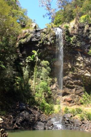
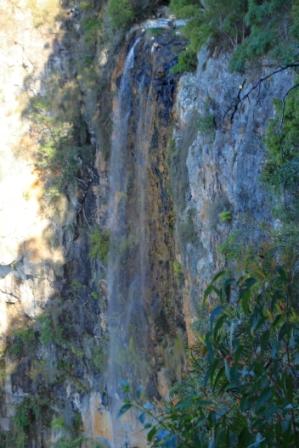
I had mistakenly believed that the Twin Falls Circuit was so named because within its length you encounter two waterfalls. I knew that the second was Blackfellow Falls but when I researched the name of the first I discovered that it, or perhaps they, were called Twin Falls. More in that later.
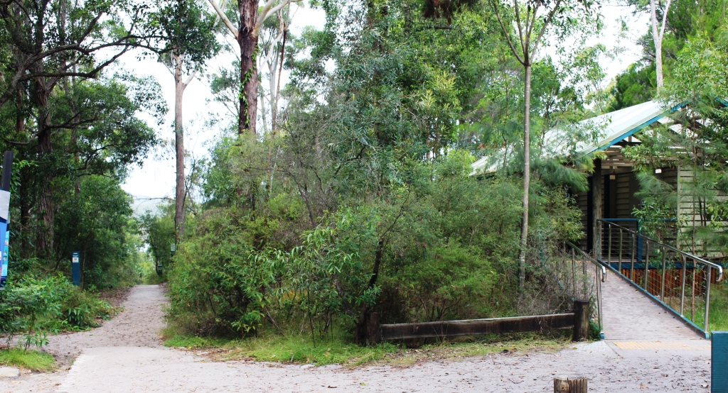
We parked at the Tallanbana picnic area and with Ruth settled in the car with her knitting I slipped into my back pack and headed down the path, very conscious that I would need to come back up the path at the end of the walk.
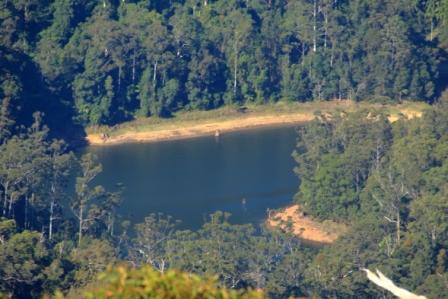
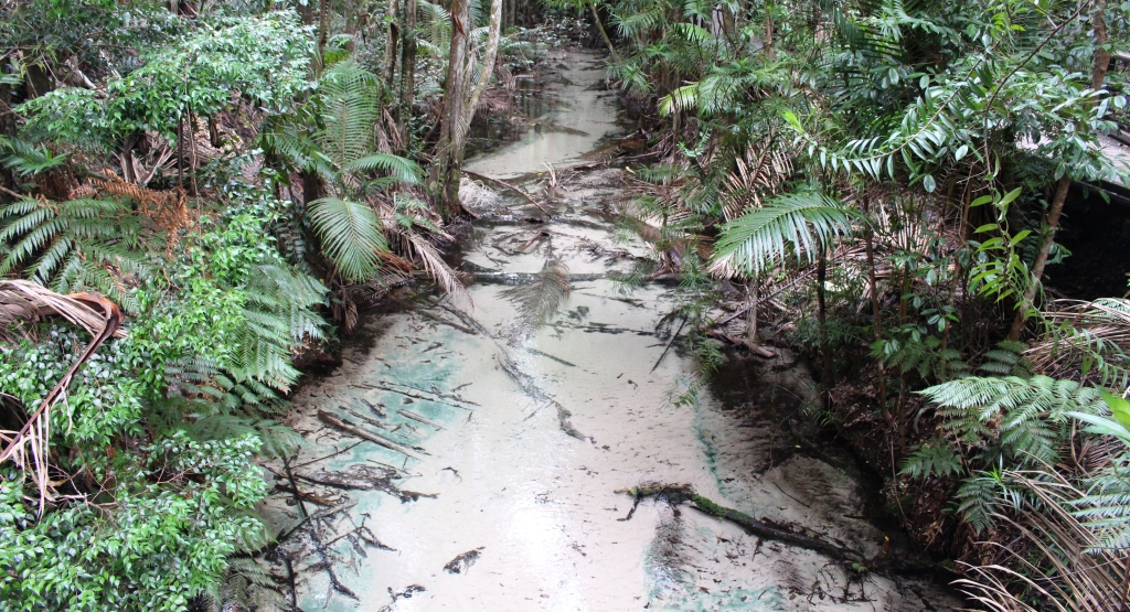
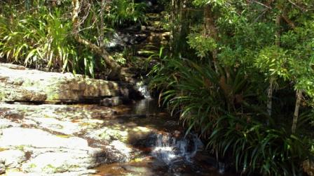
Twin falls are on Rush Creek which rises in the highest part of the range near the NSW border and ultimately, I think, joining a number of other streams in Little Nerang Creek which then flows into the Hinze Dam.
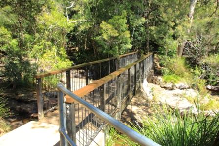
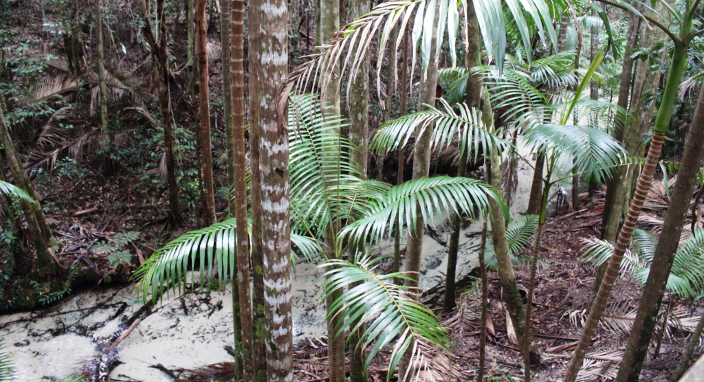
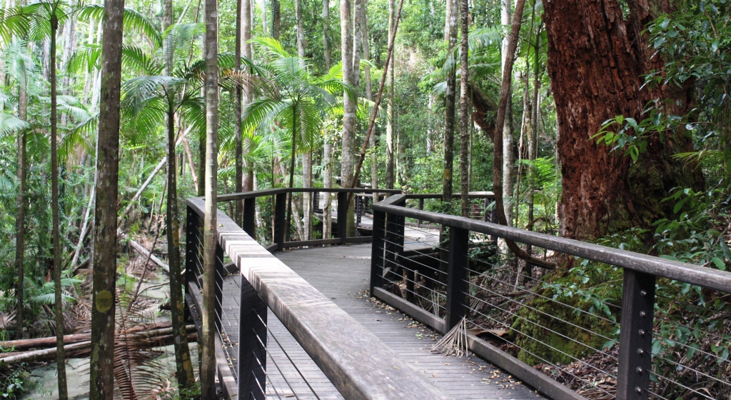
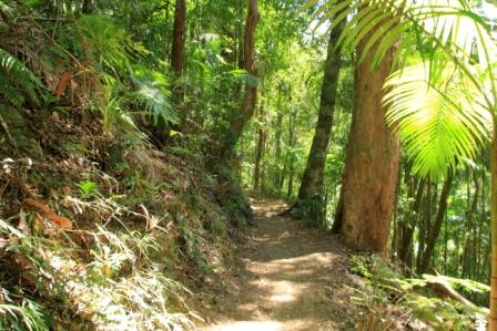
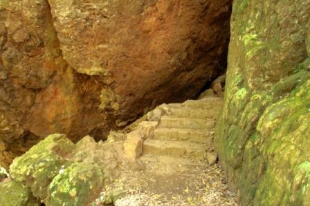
The track is easy, well formed and well maintained. Streams that intersect the track are bridged of have concrete stepping stones. Hand rails are provided in most places where steep drops into the gorge would cause death or serious injury. Stairs, timber, stone and steel, are provided in a number of places. There are a couple of formed concrete ramps.
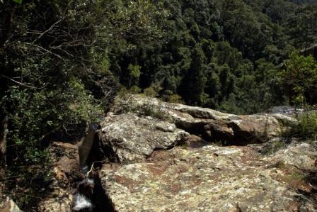
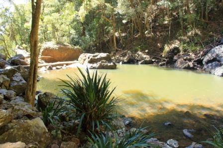
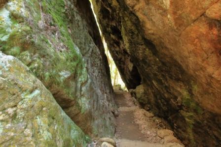
The trail soon crosses Rush Creek immediately above Twin Falls, then continues on a slowly declining angle along the ridge to a point where is switches back on itself to start the descent to the bottom of Twin Falls. At this point you take a narrow path between two huge boulders and then follow a number of changes in direction until the falls are reached.
There, falling into the edge of a pool was the single fall of Twin Falls. It seems to only become twin falls after heavier rain, so when I saw it there was a single fall of water. That did not detract from its scenic beauty, but I would like to see in in full flow.
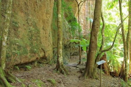
From the falls and pool the trail continues at the bottom of a cliff face to the left and a steep timbered slope to the right. The distance between the two sets of falls is about a kilometre. About halfway the track looses altitude via a succession of switch backs. It was at this point that I encountered a hiking couple coming in the other direction.
So I asked about the track ahead, as you do, to be told that it descended a fair distance, distance down that would ultimately become additional distance up later in the walk. I had been on the track for about an hour and had come about half way so concluded that the walk was going to take me about an hour longer than planned.
Considering the situation I decided to retrace my steps and leave Blackfellow Falls and the other half of the track for another day.
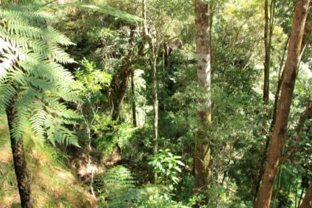
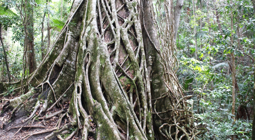
I spent the first 15 years of my life in the bush and have never lost my love of it, despite having spent the latter part in cities. This walk is a mix of rain forest and timbered ranges. Tall straight tree trunks emerge from rain forest thickets. Small streams and bubbling springs are located along the path. Stop and listen and you hear the calls of birds. Paradise!
Eating places close early in Springbrook because most tourists visit in the AM, but the Springbrook pub/café was open and had not run out of food. A couple of pies with cold fruit drinks hit the spot.
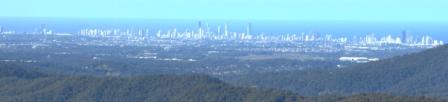
After lunch we drove down the street to the Purling Brook Falls lookout. Later, and on the way home, stopped off at Wunburra Lookout for its panoramic views over the Gold Coast high rise, before taking Pine Creek Road for a drive past the Hinze Dam before descending to Nerang and the highway to home.