The East MacDonnell Ranges

Our plan had been to take the van into the East and West MacDonnell Ranges and spend nights in various National Park camping facilities. But on our first morning in Alice Springs I woke with cold feet, so checked the Weather Channel’s app to find that the temperature was zero, but felt like – 3. The forecast made it clear that there would be no improvement over the next week or so. So the imperative become to find somewhere with electricity.

Fortunately, both areas have bush resorts with caravan parks attached that have powered sites available. So the new plan is fixed. The Ross River Resort for two nights, then Glen Helen Gorge Resort for two more and then back into Alice Springs for a final two nights.

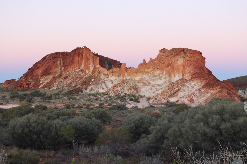
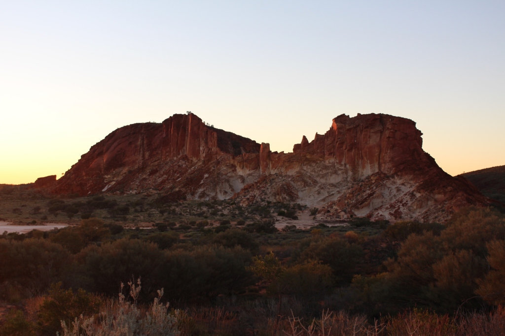
Emily Gap from the north or "other side" of the mountain

Emily Gap from the north or “other side” of the mountain

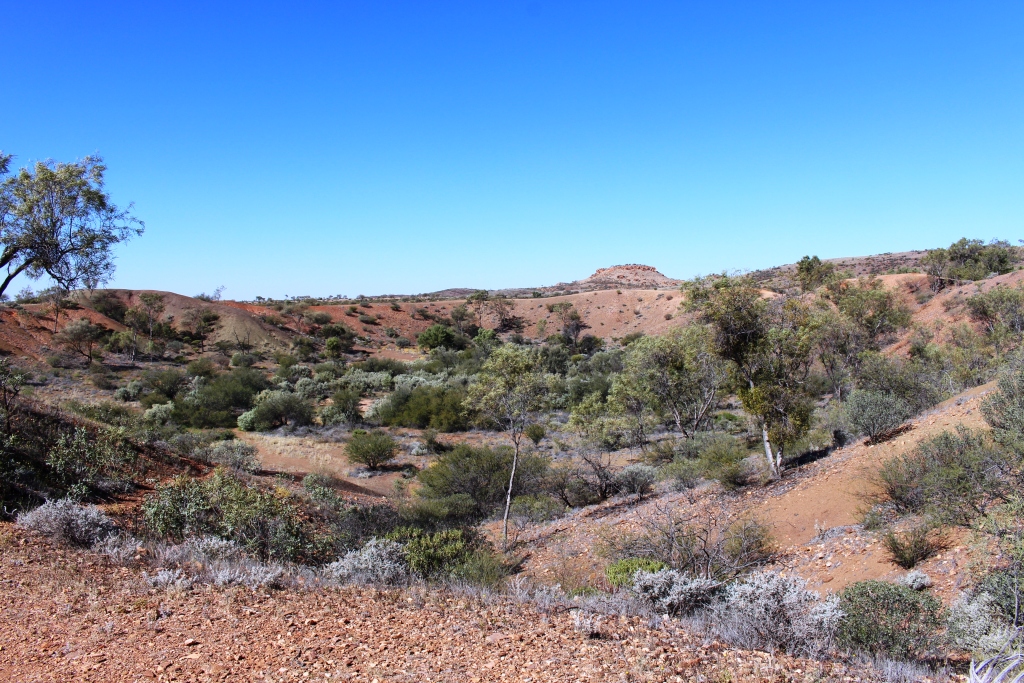
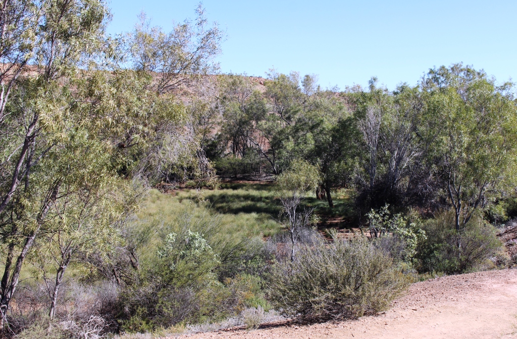
We have covered this area before, but had missed some attractions through rain that had derailed our plans. There is, however, nothing wrong with a revisit or two. So for a start we revised Emily and Jessie Gaps. One of the unique features of the MacDonnell Ranges are the gaps that cut through them. These gaps take the form of creeks that carry water from the higher ground on the north side of the range to the lower south side and ultimately to the desert. Both flow into the better known Todd River.
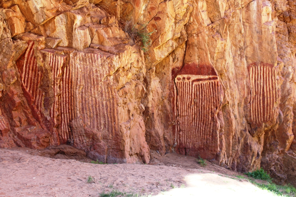
Aboriginal carvings of  sacred catapillars

Aboriginal carvings of sacred catapillars

When we were here four years ago Jessie Gap was full of water but this year both are dry, as is Trephina Gorge, which was to have been our base in the area, until the cold weather sent us looking for electricity. As an alternative, we had planned to have lunch there, but the road in was quite rough so we decided to put the van on site at Ross River and return later in the day.
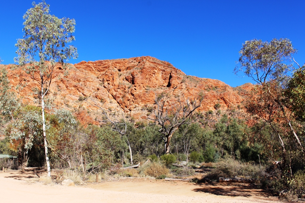
Trephina Bluff overlooks the gorge

Trephina Bluff overlooks the gorge

Trephina Gorge is worth a visit at any time. Trephina Creek runs a twisted course between rust red rock cliffs under the watchful eye of precipitous rust red mountains, including Trephina Bluff that provides a backdrop for campers. The mountains are decorated with green vegetation which includes white boughed ghost gums that really stand out against the vivid red of the rocks.

A very dry Trephina Gorge.

A very dry Trephina Gorge.

Four years ago Trephina Creek was flowing, but this time it is completely dry. But the lack of water allowed us to walk further along the creek bed and gain a much better understanding of the area above the gorge.

Ross River Resort is like Gemtree Caravan Park, in that it is situated on a sealed highway part of which becomes a link between two parts of the very unsealed Binns Track. In both cases a section of the Binns Track ends at the highway and it is necessary to travel a short distance on the highway to reach the next part of the Track.
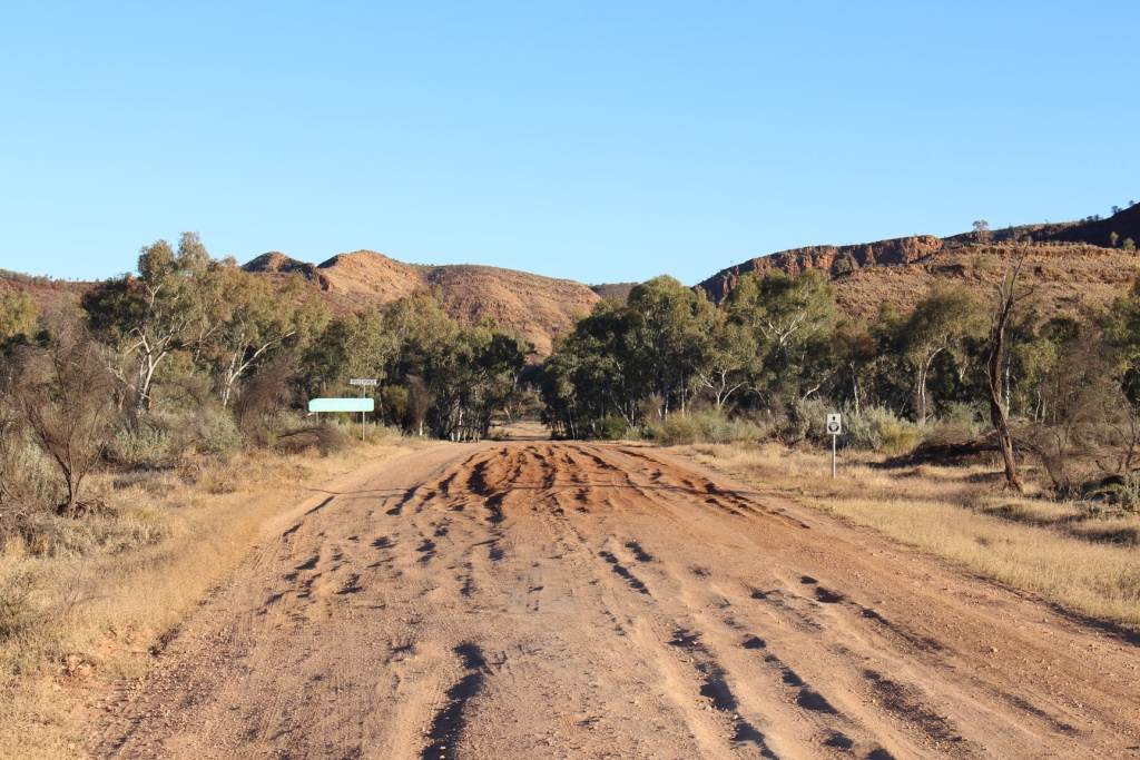
A rutted start to this section of the Binns Track

A rutted start to this section of the Binns Track

Ross River Resort is an older bush establishment sighted around the original station homestead with basic accommodation in older style cabins. About one kilometer away, on the opposite side of the Binns Track the very spacious camp ground is almost tucked in between two mountain ranges. Facilities are basic but clean and everyone is friendly.

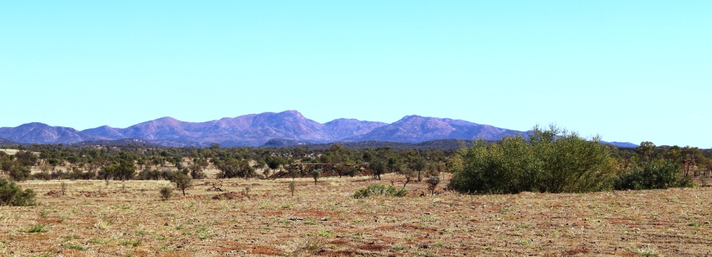
Mountains on the drive to Arltunga

Mountains on the drive to Arltunga

In addition to places already mentioned we had on our list the N’Dhalia Gorge which is only a few km down the Binns Track from Ross River and the Arltunga Historical Reserve, about 40 km to the north. N’Dhalia Gorge was scratched when I baulked at a water crossing where the track crosses the Ross River just near the camp ground. I am not confident with water crossings and found later that this one was OK, but by that time it was too late in the day. Arltunga was a different matter.
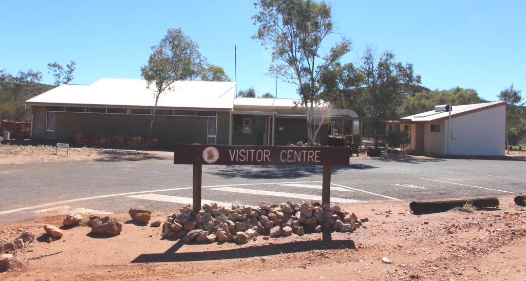
Arltunga Visitor Information Centre

Arltunga Visitor Information Center

The old gold town of Arltunga was the first European settlement in Central Australia. Explorers found what they thought were rubies so a ruby rush started. But the gems were almost worthless garnets. Two of the disappointed miners decided to look for other minerals and found gold. South Australia now had its very own gold rush. South Australia had responsibility
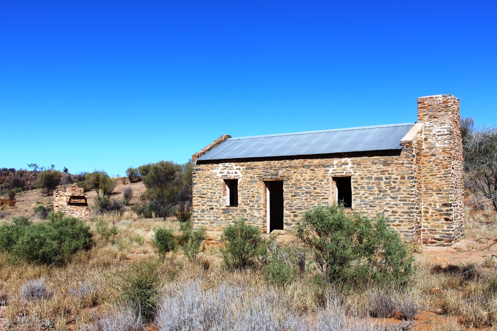
Restored managers residence at Government gold processing facility

Restored managers residence at Government gold processing facility

for Northern Territory at that time. The gold find and subsequent development of the town of Arltunga lead to the SA government deciding to commit to Central Australia. They established the town of Stuart the name of which was later changed to Alice Springs.

Arltunga was 800 km from the rail head at Oodnadatta. Miners had to find their own way along the route of the overland telegraph line to

Restored police station and lockup

Restored police station and lockup

Alice Springs and then travel through the East MacDonnell Ranges to Arltunga, a further 100 km or so, often pushing their meager belongings in a wheelbarrow.

Because the area is so isolated, when the gold ran out the residents simply left and the process of deterioration commenced. Nothing was built in its place. Buildings were constructed from the stone of the surrounding countryside so have been easy to rebuild. There is an information center that does an excellent job of telling the story and also supplies excellent maps and other material.
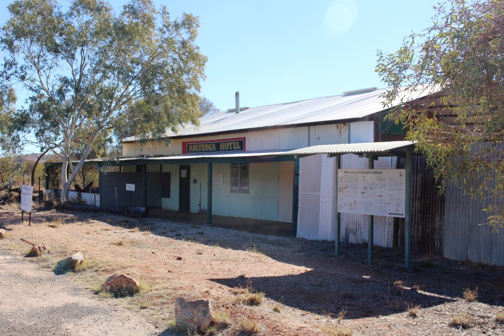
The now closed Arltunga pub

The now closed Arltunga pub

Buildings have been restored at the site of the government ore processing battery while the police station and lockup look ready for the return of officers and miscreants. Gold mining was both alluvial and underground. Two underground mines are available for inspection by those who remember to bring a torch.
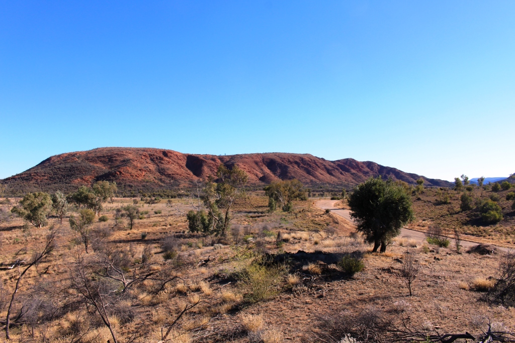
Another roadside mountain range

Another roadside mountain range

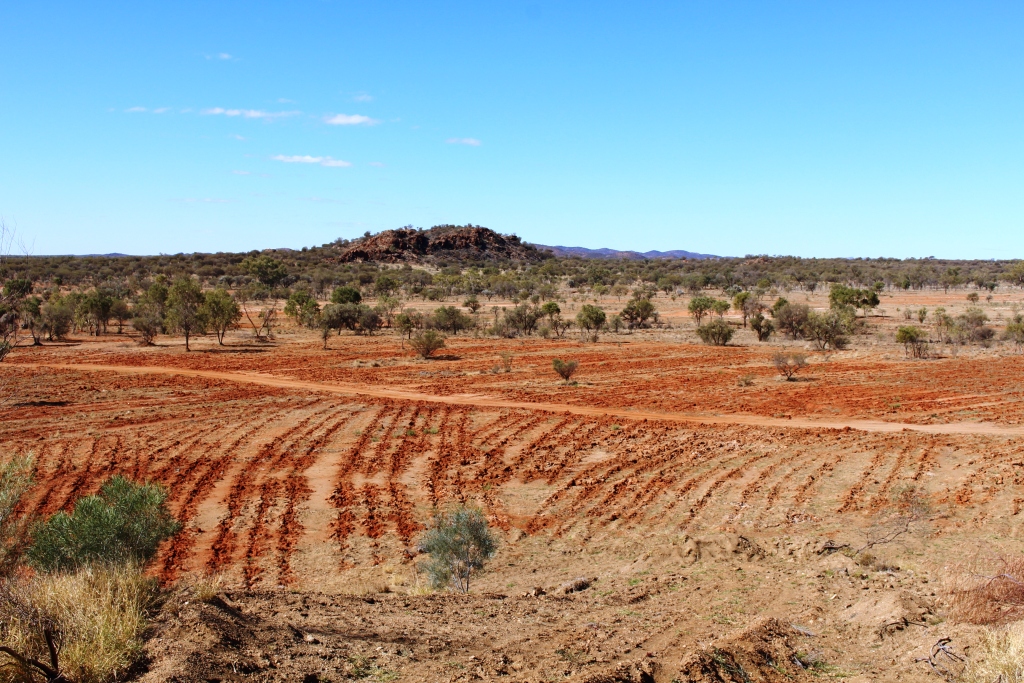
The drive from Ross River to Arltunga is superb. The road goes through a pass that follows the course of the dry Bitter Springs Creek and then runs along adjacent to the northern face of a most picturesque red mountain range. Turning northeast it parallels another range of a different hue, crosses a plain and reaches Arltunga at the foot of the next range of hills. The gravel road varies from a few areas of vehicle destroying corrugations to smooth surfaces, but most of the way it was like most gravel roads – light corrugations that can comfortably be taken at 60 mph.
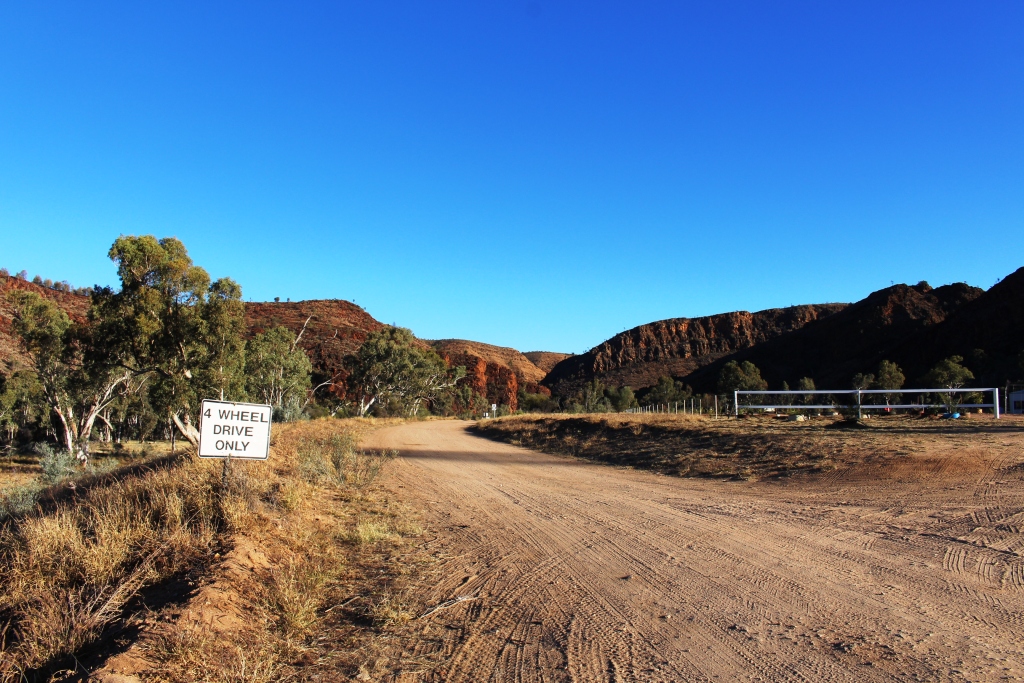
The Binns Track south towards D'Halia Gorge.

The Binns Track south towards N’Dhalia Gorge.

The East MacDonnell Ranges tend to be overshadowed by their Western counterparts, probably because the latter have more marketable features that attract the “been there done that” and the “bucket list” people. But I am more an ambiance person. I like just being in the East MacDonnell Ranges, because of the atmosphere that results from the colour, form and variety of scenery that makes the place so unique.
No Rainbows but Big Holes

Our previous trip to the Center was impacted by rain. One of the casualties was Rainbow Valley, so it was a must this time. We took advantage of the weekend prior to spending a couple of business days in Alice Springs to make good this omission. For good measure we included the Henbury Meteorite Craters and a one night stay at Stuarts Well Roadhouse.

We had been warned that the access road was rough so expected the 22 km trip in to be fairly slow but the grader had been at work so instead of a rough ride we enjoyed highway comfort.


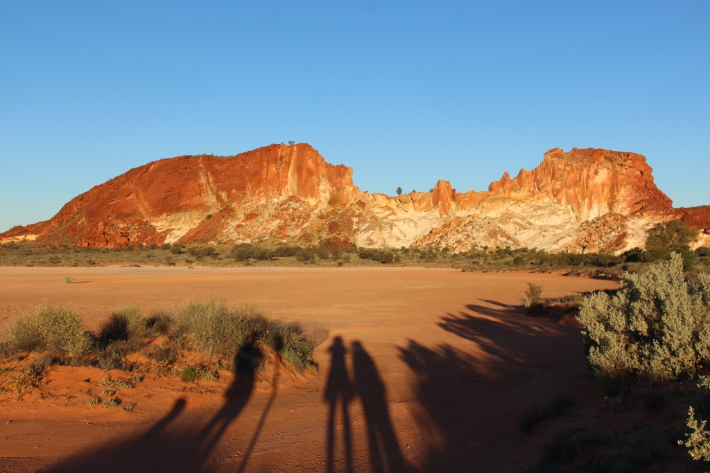
Rainbow Valley - with sunset approaching

Rainbow Valley – with sunset approaching

I had envisaged Rainbow Valley as being tucked in between rocky hills of sufficient colour to resemble, in some way, a rainbow. But it isn’t. While admittedly there are valleys behind the main attraction, they are not accessible to visitors. The main attraction is, in fact, a single hill. But it is a spectacular hill.

Like Uluru (Ayers Rock), much is made of the effect of sunrise and

Mushroom Rock

Mushroom Rock

sunset light on the surface of the rock, so we spent the night in the small camping area to allow us to see both. We did the walk to Mushroom Rock, is so doing passing a clay pan and entering the only small valley accessible to us. We returned via the path that leads to the highest vantage point. We joined a group of observers, including a photographer, taking a time lapse series of photos.

Edge of main rock and neighboring mountain

Edge of main rock and neighboring mountain

Places like Rainbow Valley require a reasonable level of imagination. Perhaps I don’t have enough because I did not see anything that remotely resembled a rainbow. The rock face is multi coloured but the shades of colour are subdued and didn’t change much as the sun set. They just got darker, as you would expect. The photographer said that the light was not particularly good and that the best light seemed to occur when conditions were very cold. Still, it was interesting to watch.

Last shot at night

Last shot at night

The rock formation faces west so at sunset is in direct light. At this time of year, from the official observation point, the sun rises a little to the north of the rock face. At first the face of the rock is in shadow, but as the sun rises it’s rays start to pick out the most prominent features until ultimately the entire edifice is bathed in morning sunlight. I found this aspect a more interesting

Before sunrise

Before sunrise

spectacle.

I am not sure how cold it needed to be to get good colours. The morning was quite cold. I dressed in my warmest woollies but it took the brisk walk to the viewing point to get some warmth into my system. But then it all quickly dissipated in the cool breeze that accompanied the sunrise.

After sunrise

After sunrise

But it was worth the effort to go there. It is a beautiful place.

We took the short drive back to the highway and a bit further south, to the Stuarts Well Roadhouse and parked the van for an overnight stop. They have power and showers. Then, as an afternoon activity, we drove a bit further south to inspect the Henbury Meteorite Craters. Many thousands of years ago a meteorite, travelling towards earth at great speed, broke into several pieces and hit the earth on what is now Henbury Station. The result was three large holes in the ground, two of which have weathered into one larger hole. There is no record of the number of dinosaurs killed.

Two craters became one

Two craters became one

Over time the elements of wind and rain have softened the damage and changed jagged to round. Soil produced by erosion and seeds, probably transported on the wind and by birds, has generated trees and grass. The smaller depression has captured the flow of a small intermittent stream to produce quite lush vegetation for such an arid area.

The green crater has a creek flowing into it

The green crater has a creek flowing into it

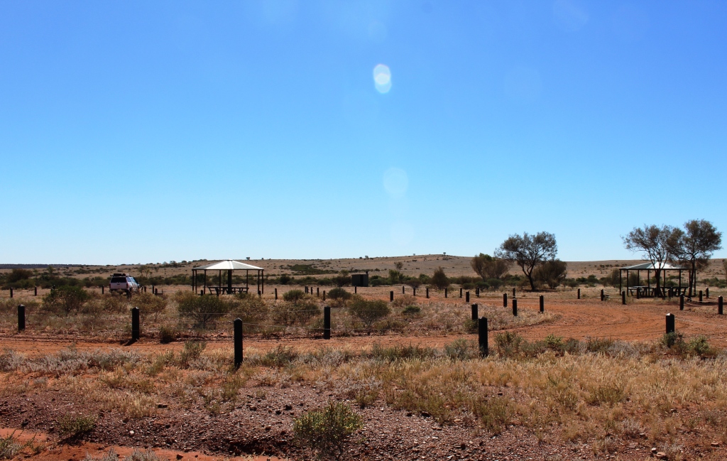
The meteorite produced some smaller fragments that lost momentum and fell short. They are far enough distant to not be part of the main exhibit, which involves a pleasant stroll of about 1.5 km. As is usual, the Northern Territory authorities have provided picnic facilities, a toilet and designated spaces for caravans and tents. But the area is exposed to the four winds and there is no shade other

The National Parks camping area

The National Parks camping area

than in the picnic gazebos.

And there are no souvenirs in the form of meteorite fragments. They are all long gone.

A Drive on Binns Track

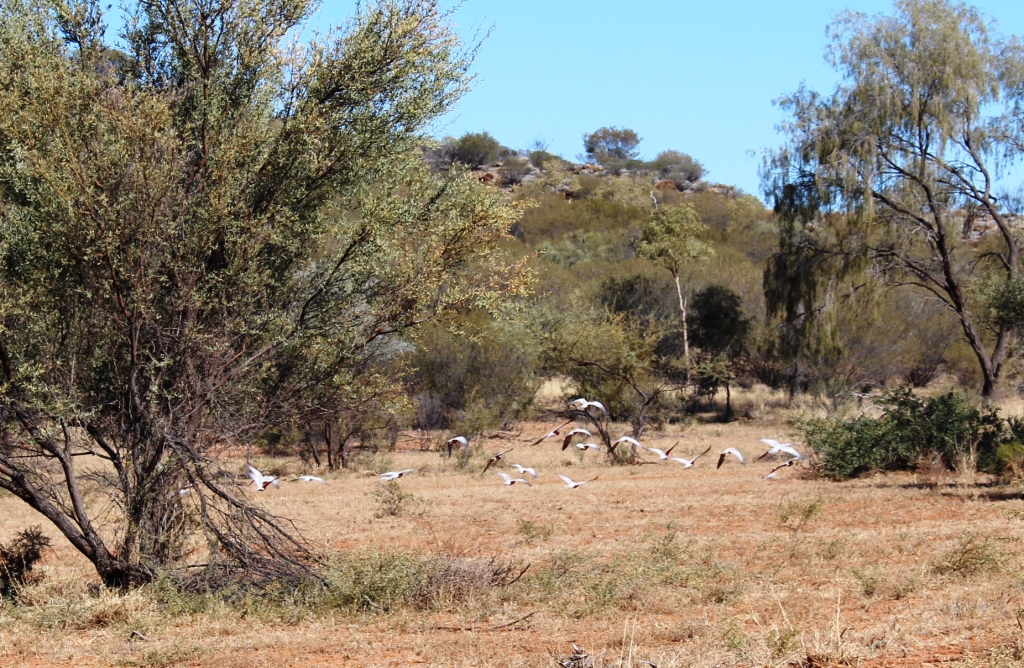
Feeding galahs

A flock of feeding galahs

After spending the morning doing general maintenance on van and car, we decided on a drive. Gemtree Caravan Park provides mud maps for local drives. We were given a choice of two drives but one was a bit long for the time available so we set out on the shorter alternative. Both included part of the Bins Track, a favorite with the hairy chested 4WD set. It starts near the western side of the Simpson Desert, finally joining the Stuart Highway south of Tennant Creek. The folk who helped winch our travelling companion from the bog on our way to Windorah said they intended to use Binns Track to get as far north as possible.

Strange diggings near the fossicking area

Strange diggings near the fossicking area

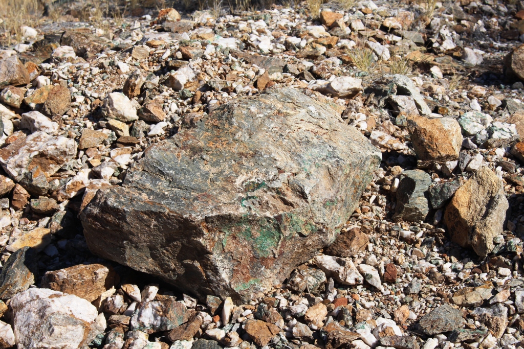
This section of Bins Track turns south just 8 km east of Gemtree and, like most gravel roads, was corrugated, but not badly so. The first thing for us to look out for was a fossicking area where garnet and zircon can be found and the bush camping area nearby. There were no obvious diggings, but the ground was littered with sparkling stones, quartz and the like. The camping area is in a lightly treed paddock with no facilities. But people come in significant numbers and stay for long periods, such is the lure of gemstones.

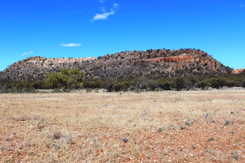
The mountains that were our destination

The mountains that were our destination

Back on the Bins Track we passed through several closed gates (that had to be closed agin after our passing through) and some Indigenous land where to leave the road required a permit. The road was basically a single lane track but that didn’t mean we had it to

Typical hill in this area

Typical hill in this area

ourselves. As we climbed a small hill and entered bush, on a very narrow section we met a large shiny black 4WD towing an even larger black and grey off road van. It looked a bit out of place. I pulled off the single lane track to make way and wound down my window to offer a greeting, but these luxuriously equipped adventurers just passed by with barely a glance.

Old mining equipment

Old mining equipment

Tailings from the copper mine

Tailings from the copper mine

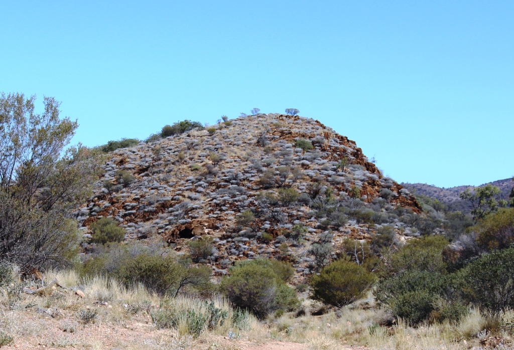
The hole in the hill was probably the old mine

The hole in the hill was probably the old mine

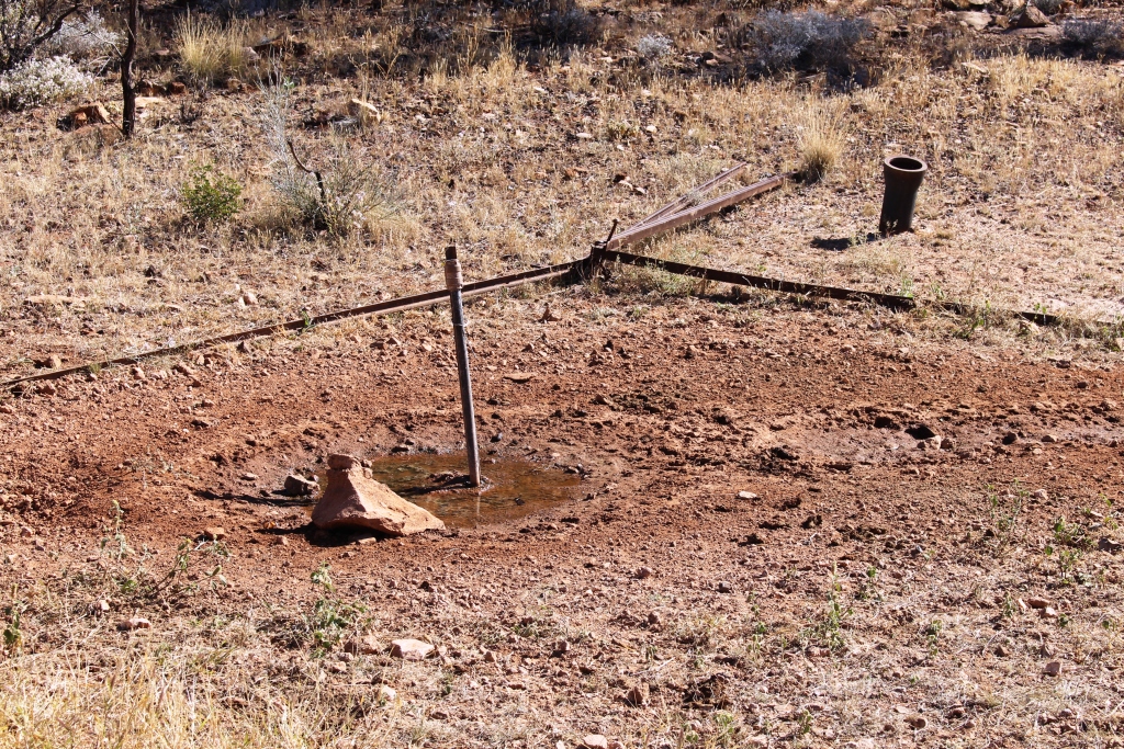
Collapsed bore head tripod

Collapsed bore head tripod

At the end of our journey we found relics of an early copper mine. The trip had a title of “The Mad German’s Mine” but that was not really the objective. We were out for a drive through sweeping semi desert lands dotted with those rocky topped mountains so typical of this part of Australia.

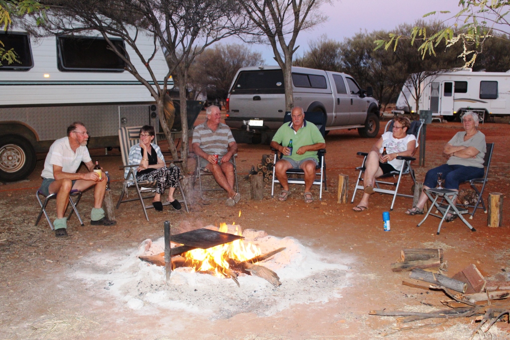
Back at camp, between four vans we provided enough fire wood for a magnificent camp fire. I don’t know about the stars, though. I was too busy cooking the steak on the Barbie plate over the fire to notice.


Keeping the camp fire warm

Keeping the camp fire warm

A Changed Itinerary – Part 2

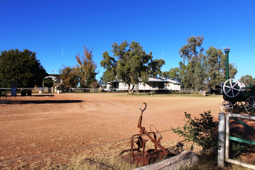
When I walked into the office at Tobermorey, two young people were standing near the counter, but there was no vehicle outside. It turned out that the couple had stayed at Tobermorey the previous night and had left that morning bound for Alice Springs, but 53 km along the way had rolled their car. They were both uninjured but were worried about their belongings that they had been forced to leave beside the road, when they accepted a ride back to Tobermorey in a road train. Except for the lady in the office all station staff were out mustering.

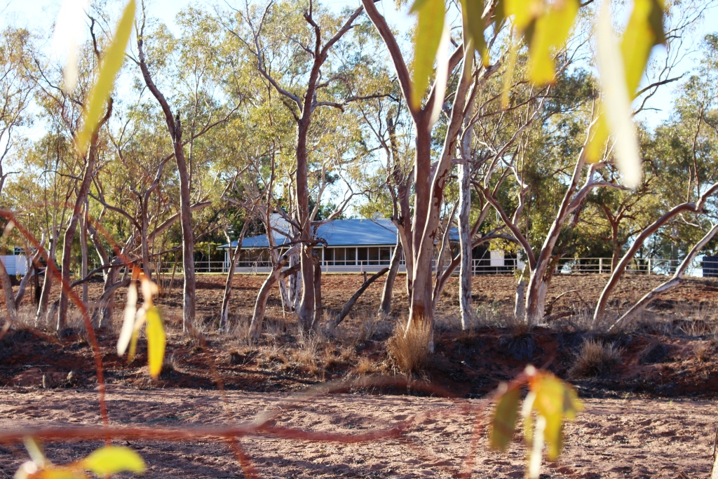
Tobermorey Homestead

Tobermorey Homestead

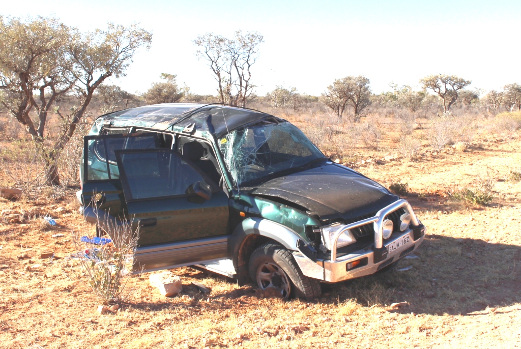
In remote Australia you expect help and you give help. So we unloaded our car to make as much room as possible and the young German student and I set off to collect their possessions. That’s how I know that the accident took place 53 km along the road. The car, an aging Toyota Prado, had rolled once and landed on its wheels. Their belongings had remained in the back and two surf boards on the roof rack were undamaged.  How does that work?

The wrecked Prado

The wrecked Prado

The young man’s English wasn’t perfect so I had not understood about the surf boards. Surf boards heading for the Red Centre? He told me later that they were going to Cairns via Darwin. Surf boards don’t make much sense in Cairns either, but he didn’t know that.

We were scratching our heads about attaching two long surfboards to my roof rack when three 4WD vehicles pulled up. They were camping road side before Tobermorey, but would be happy to drop the surfboards off the next morning. We spent the evening with the couple, Germans studying in Sydney, trying to keep our selves warm on a rather cold night by a camp fire.

If I ever accuse anyone of speaking bull dust I will now do so with greater authority. We encountered much of it on our way to Jervois Station, our destination for the second day of our off road trip. We left Tobermorey at about 9 am after saying our goodbyes to our young friends and almost immediately met the folk delivering the surfboards.

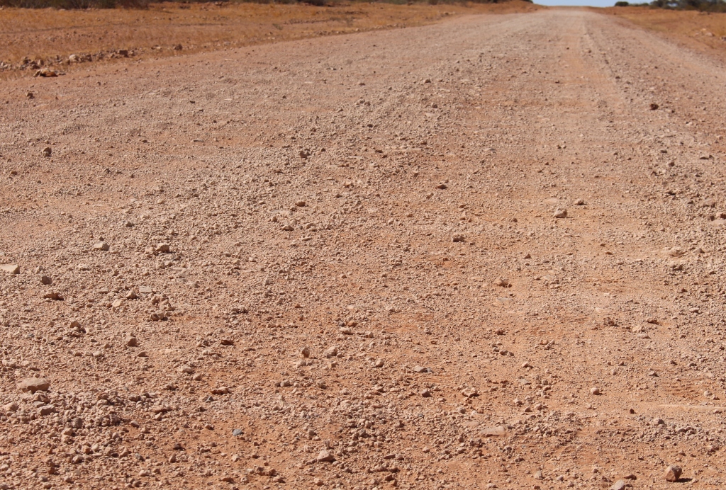
Plenty Highway Corrugations. There were plenty of them.

Plenty Highway Corrugations. There were plenty of them.

We stopped at the side of the road for morning tea. A station hand, driving a utility with all manner of equipment on the back, stopped to make sure we were OK. He was on for a chat and knew about the accident, as it happened on the station for which he worked. Roads go through and not around out here.

On a deteriorating road we passed the derelict Prado and soon started to come across bull dust patches. They had hardened with the rain so were not too much of a problem. For substantial distances half the road was corrugated gravel and the other half bull dust with heavy tyre marks embedded in it. Driving through it threw us around a bit but with reduced speed the bull dust gave a better ride than the corrugated gravel.

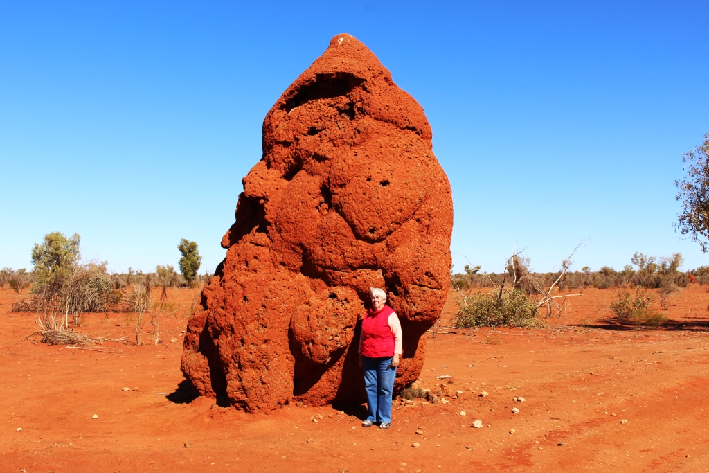
Ruth with ants nest

Ruth with ants nest

A little further on, after passing huge roadside ants’ nests, we reached the point where graders were working on a highway upgrade. Two graders, working in tandem were grading long stretches and

Jervois Station on the banks of the Marshall River

Jervois Station on the banks of the Marshall River

producing long sections of super highway. With the improved road we reached Jervois Station earlier than expected and settled in as the sole tenant in the red dirt camping area. Jervois Station takes its name from the

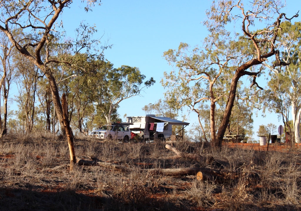
Our van viewed from the bed of the river

Our van viewed from the bed of the river

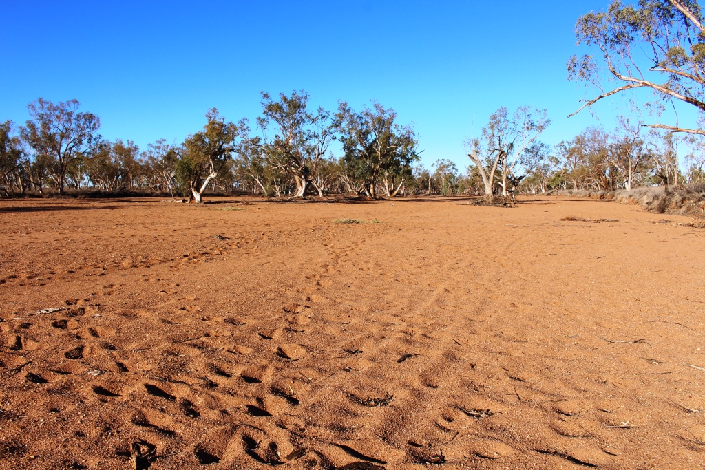
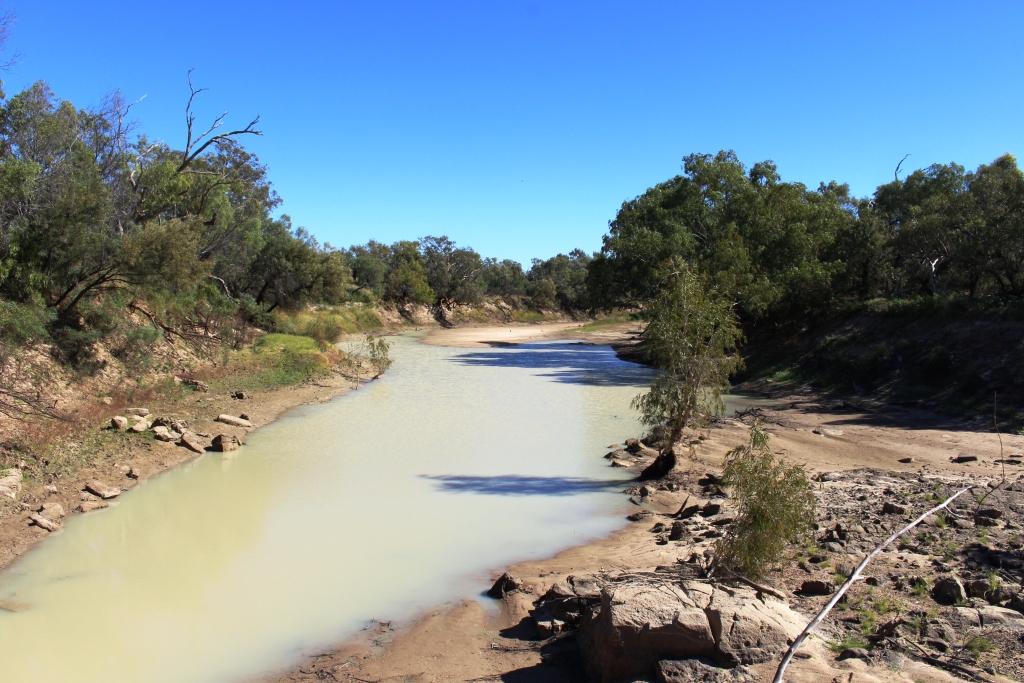
Jervois Range to its north. The camping area and homestead are on the banks of a wide, sandy and very dry Marshall River, which flows, when it contains water in sufficient volume, south to the Hay River which in turn flows into the Simpson Desert and disappears. Jervois is best known to Simpson Desertophiles who use it as a refueling point after completing a south to north crossing.

The dry sandy bed of the Plenty River

The dry sandy bed of the Marshall River

The final leg of this first long trip over unsealed roads was 220 km to Gemtree in the Harts Range. The name of our destination suggests gem stones, a commodity for which the area is world famous. Gemtree is a caravan park that specialises as a holidays location for gem hunters. But we will not be gem hunting. After five solid days of driving the time had come for a break.

The leg to Gemtree was a relatively easy drive. The early part of the trip was, like late the previous day, freshly graded, but as we progressed onto previously graded road the more previous it got the rougher it got, to the point where I was not unhappy to reach the sealed road just before Gemtree.

The administration building at Gemtree Caravan Park

The administration building at Gemtree Caravan Park

So tomorrow we may ask for one of the park’s mud maps and do a bit of a tour of the local area. Or perhaps not! But we probably will go out to find some wood to feed the fire place beside our site so that we can spend the last night of the Donohue /Plenty crossing under the incredible array of stars that are visable when there are few lights to interfere with the view.


We have produced a video that covers this segment of the trip and the segment that precedes it.

https://www.youtube.com/edit?o=U&video_id=czHbkrloHVc

A Changed Itinerary – Part 1

As we listened to the patter of the rain on the roof of our van, we were aware that it was washing away our immediate plans. We have been caught before by the inability of the Department of Meteorology to predict conditions west of Toowoomba. Its predicted 5 mm of rain became 25 mm a couple of years ago and we were left wallowing in the mud of the Dowling Track. History was repeating its self.

Graeme and his motor home

Graeme and his motor home

The next day, on our way to Windorah, we experienced again firsthand what an inch of rain can do in this area. We had made the acquaintance by two way radio of another traveler, this one in a Winnebago motor home and had agreed to stop for lunch at the same place so that we could have a face to face chat. I chose the site of yesterday’s afternoon tea stop, but when I turned in to the proposed stopping place our wheels started to sink in the mud that had, two days earlier, been a firm parking area. New acquaintance saw what was happening and pulled off to the other side of the road and sank to his axles in even worse mud. A quick selection of 4WD had saved us. He didn’t have that option.

But we were lucky. A couple headed for the Simpson Desert, equipped with a winch, came along, so with them winching and me in the Suzuki that he was towing, giving a push, we got the motor home back into the black top. We moved a bit further along to firm ground and discovered that Graeme is travelling alone while his wife is in England. He asked if he could tag along and he stayed behind us until our paths diverged at lunch time the following day.

From the information center at Windorah and from talking to passing motorists on the two way radio, we learned that the Birdsville Developmental Road was a mess and would not be suitable for us to drive on for several days, so we turned north, spending the night in the caravan park at the Jundah Hotel, and then on to Winton. Graeme left us at Longreach.

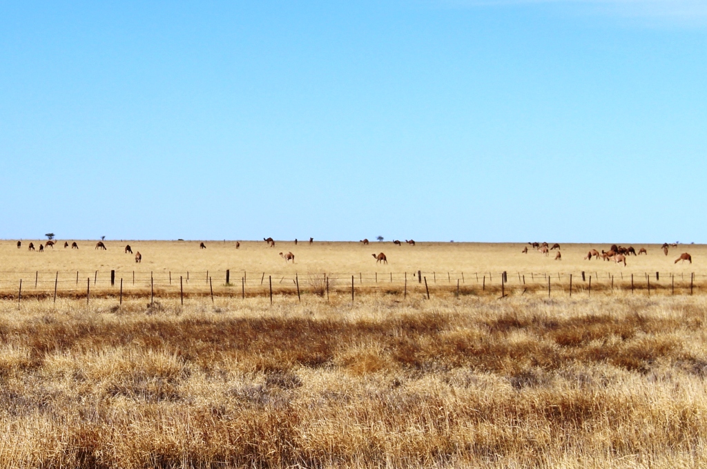
Farmed camels near Winton

Farmed camels near Winton

The drive from Winton to Boulia is along the first part of the Min Min Byway. Boulia has built a tourist industry on the phenomenon of the Min Min Lights, unexplained lights that some people claim to have seen at night as they have travelled the road. But since most people travel the road by day, reported sightings are rare.

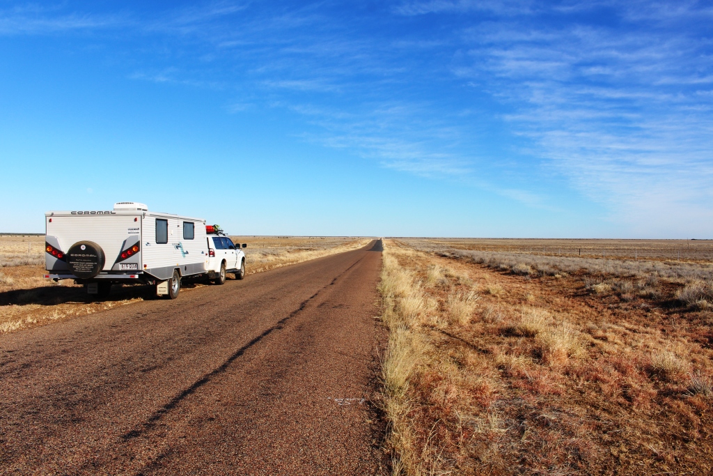
Our rig beside the long road

Our rig beside the long road just west of Winton

To travel this road at night would be a grave mistake as it is one of the prettiest outback drives in Australia. The first part is fairly ordinary with open grass country on the higher ground and scrubby trees in the gullies, but after crossing the extensive flood plains of the Diamantina River, the road plunges into a series of mountain ranges of the “jump up” or mesa variety.

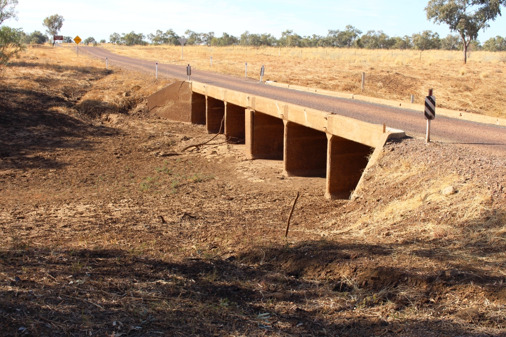
One of the many channels of the Diamintina

One of the many channels of the Diamintina

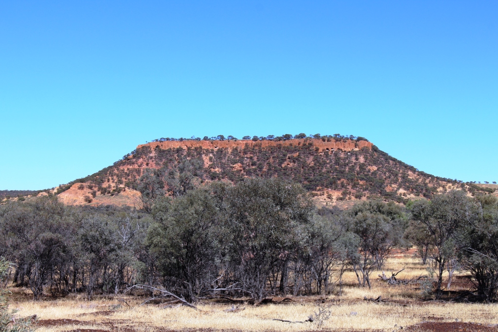
These are the hills that are capped with mini precipices of red sandstone from which the slopes covered with rough green grass or stunted vegetation, descend to tree clad lower slopes and gullies. The

A typical jump up or mesa

A typical jump up or mesa

sandstone caps weather into some interesting shapes such as the one that stands above the Castle Hill Rest Area. At the western end of the series of ranges a picnic shelter has been built on hill top that provides panoramic views along the valley through which the road passes.

The isolated Middleton Hotel

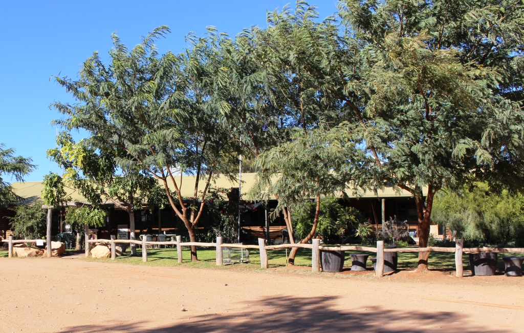
The isolated Middleton Hotel

There are other things of interest along the way.  About half way stands the Middleton Hotel, not so named because it is half way but after an explorer who passed the spot many years before this rather elderly building was built. It is a favorite lunch stop. Perhaps that explains the Min Min Lights.

Brolgas by the road

Brolgas by the road

Not far out of Boulia we stopped at a rest stop that marks the site of the long demolished Hamilton Hotel. There we received a tip to look out for brolgas at a creek beside the road. There were dozens of them in clear view. As I walked towards them for a picture they moved away, many of them performing the sort of flying dance for which they are noted.

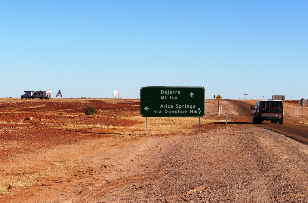
The start of the Donohue Highway

The start of the Donohue Highway

After a night in Boulia we took on the Donohue Highway that runs west to the Northern Territory border and there becomes the Plenty Highway. These highways are our first long run on dirt roads.

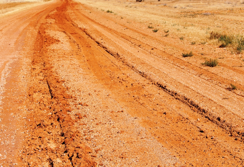
Wheel tracks from recent rain

Wheel tracks from recent rain

Combined they extend a about 750 km across the southern end of the Barkley Tableland. We knew that the road had been affected by the rain and were warned to watch for wheel tracks. The road was quite badly damaged on the west bound side but surprisingly good on the east bound side. So we pretended to be driving in the USA, returning to the correct side for approaching traffic, when we reached crests or when the consensus tracks changed sides.

A waterhole in the Georgia River

A waterhole in the Georgia River

The main feature of this drive through far western Queensland is crossing the Georgia River. When the wet season, often augmented by a cyclone, dumps large quantities of rain south of the Gulf of Carpentaria a large proportion of the water flows down both the Georgia and Diamantina Rivers. In a wet year the flood waters reach, not directly but by various means, the vast expanse of salt pans that is Lake Eyre. The flood plains associated with these rivers are vast. It is probably not possible to visualise the sight of them in full flood without actually having seen them.

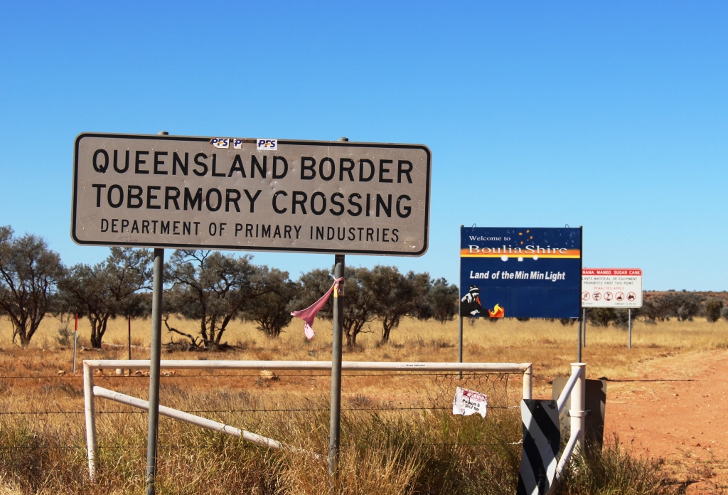
The Qld/NT border

The Qld/NT border

Our destination for the day was Tobermorey Station. It is located 250 km west of Boulia and just 4 km past the Queensland /NT border. We parked the van on grass in a camping area that we almost had to ourselves. We wound our watches back by 30 minutes and I prepared myself for a restful couple of hours, but I was wrong!


Here is the video. It covers this post and the next one too.

https://www.youtube.com/edit?o=U&video_id=czHbkrloHVc