Sydney 2014 – Day 24 – 9th February – Myall Lakes to Harrington

Early ripples on a calm lake
Early ripples on a calm lake

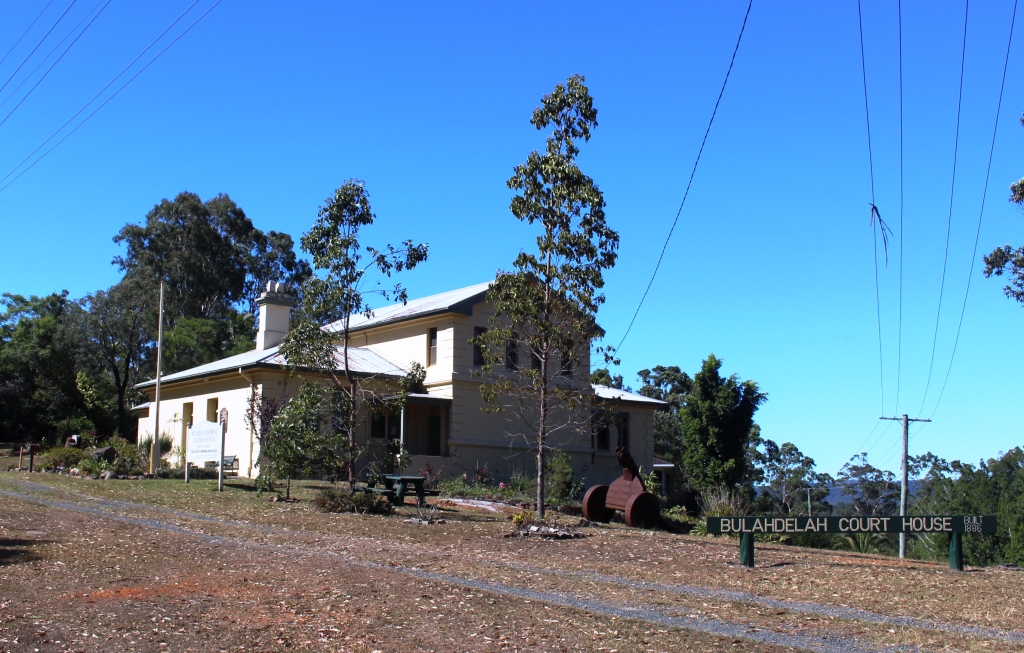
Bulahdelah Court House is now a museum

Bulahdelah Court House is now a museum

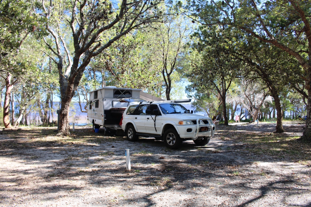
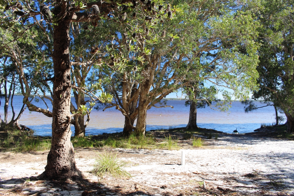
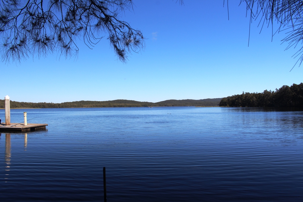
We awoke to reflected sunshine from the surface of the lake peeping in at our windows. There was no wind and the surface of the lake was like a sheet of glass. We watched it develop its first ripples as we sat over an early cup of coffee.

The route today took us through the town of Bulahdelah which is the nearest thing that we have to a home town when I lived in this area. I went to high school here and we visited the town to shop and to church twice on most Sundays. Mum was the church organist.

Bulahdelah has recently been bypassed by the Pacific Highway after a protracted environmental battle delayed it for several years. Knowing the effect that such a change can have on a country town I was half expecting a town sliding towards ghost town status. But not so!
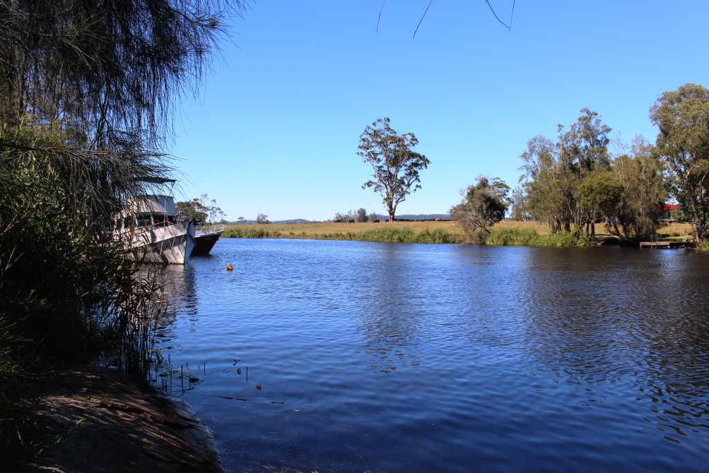
The river down stream from the bridge

The river down stream from the bridge

In the Lions Park

On Sunday morning, those shops of interest to tourists, were open and seemed to be trading well. There were people in the streets and cars in the driveways of the two service stations that stand on either side of what was the highway.

Something called the Bass Bash Challenge was in progress. The park was almost overflowing with camps, boats and people. Perhaps it was an unusual day, but it was heartening to see.We took our morning tea break at a park with all required facilities for tourists. Other vans and the crowd from the classic cars were occupying all of the picnic tables so we had our coffee at the van. We were about finished when a local, female and pushy, came around the rear of the van to tell me that I was parked too close to the corner.
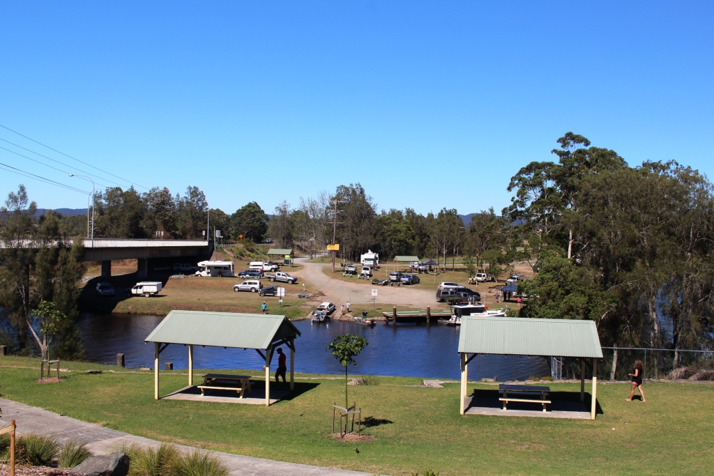
Lions Park from the town

Lions Park from the town

She had a point but not by much more than half a meter or so. My response apparently didn’t satisfy her as she accused me of taking her to be a fool. It would not have been a very great leap of intuition to reach that conclusion. She had double parked beside the van in her haste to point out to me the error of my ways in what was really a very dangerous place. Of such events are memorable trips made!
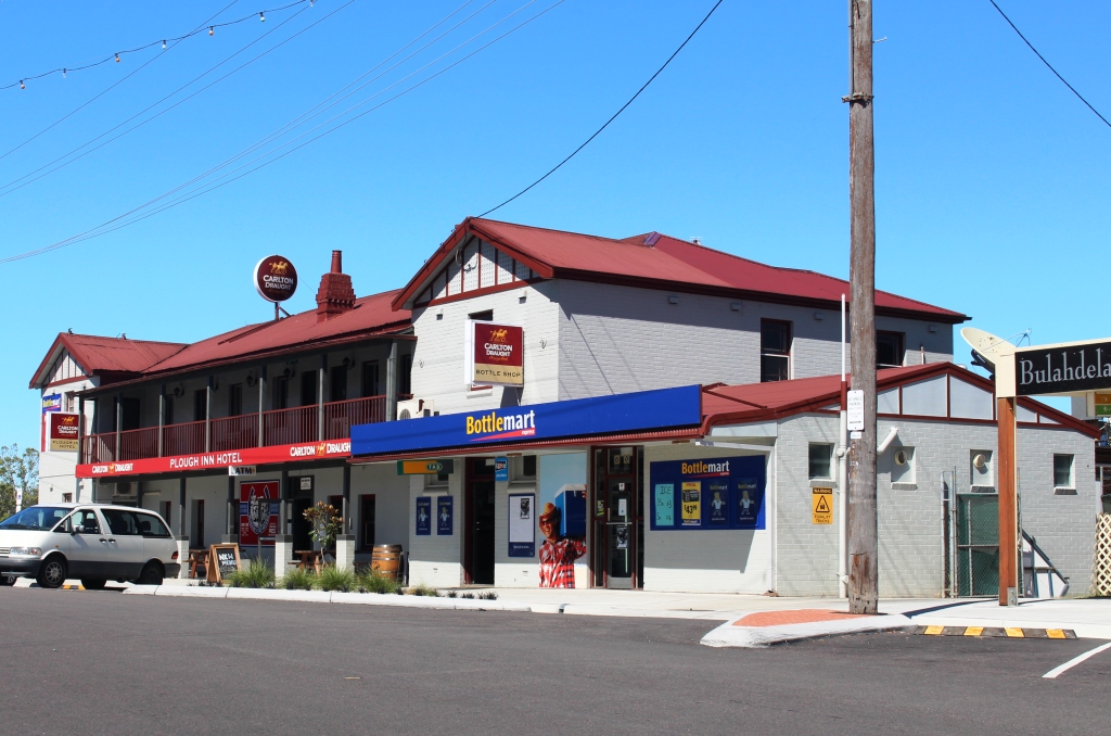
 

The Plough Inn. It must be near to 100 years old.
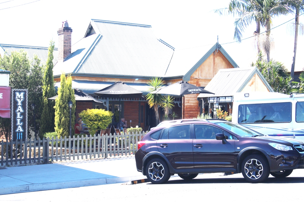
The Plough Inn. It must be near to 100 years old.


There were no coffee shops on my time there
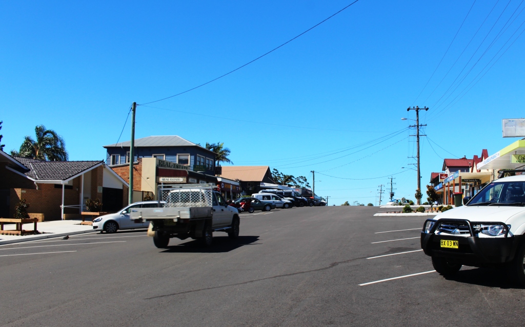
There were no coffee shops on my time there


Bulahdelah main street

Bulahdelah main street


I remember this building as Wades Grocery Store
I remember this building as Wades Grocery Store


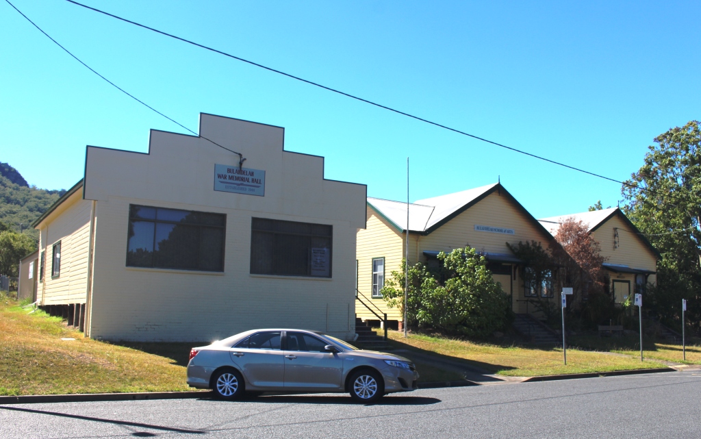
The School of Arts was the scene of many remembered activities.
The School of Arts was the scene of many remembered activities.


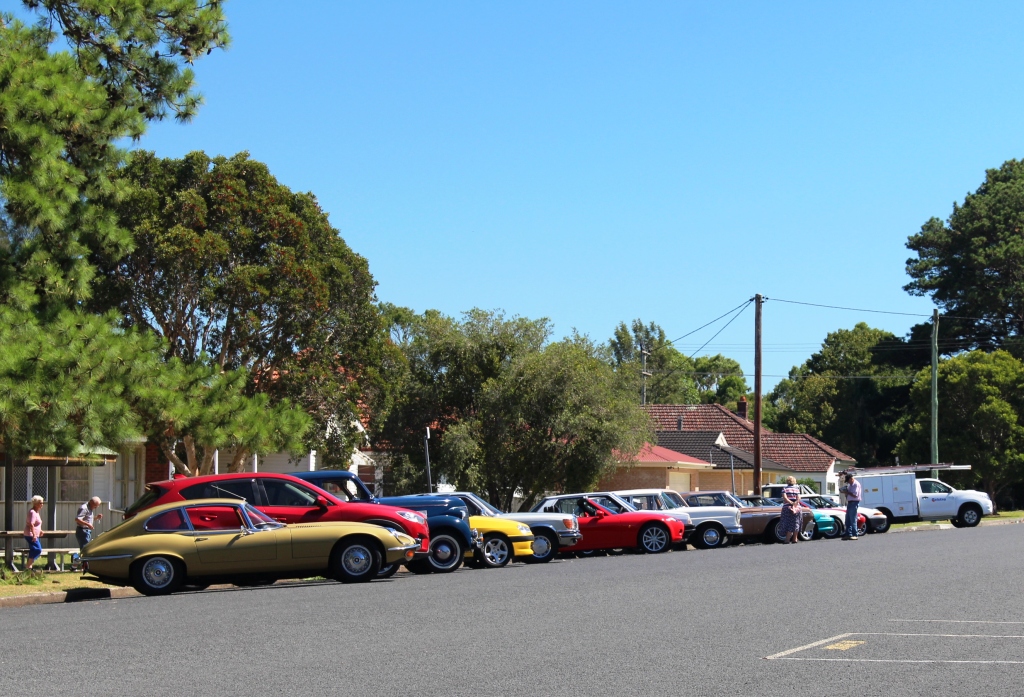
Cars in the visiting classic car club
Cars in the visiting classic car club


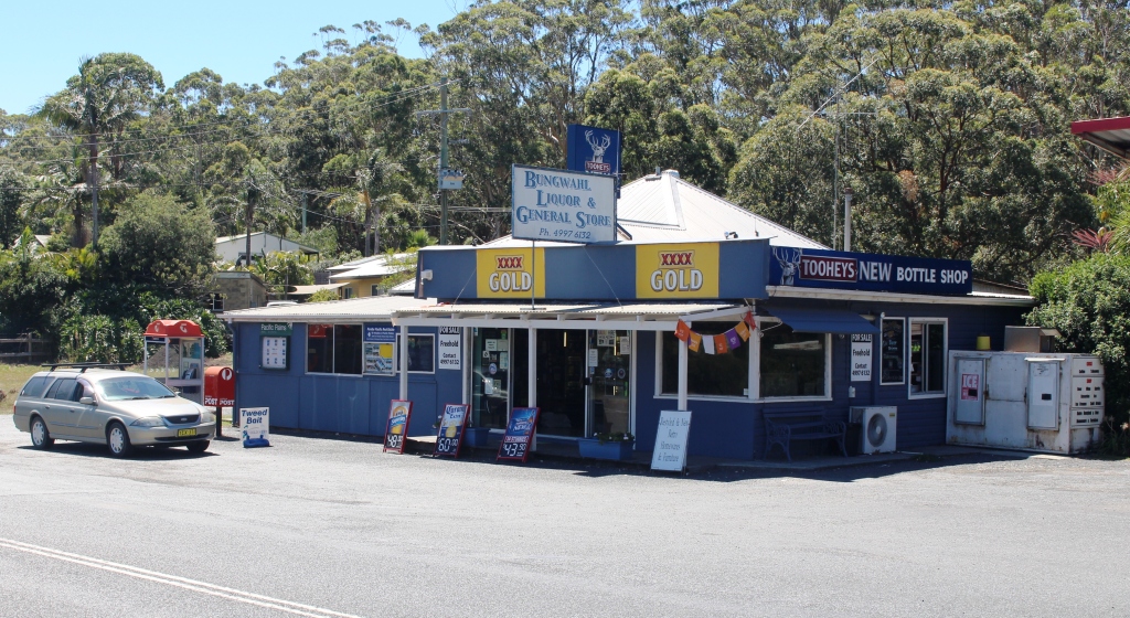
The commercial centre of Bungwahl

The commercial centre of Bungwahl

We left the Pacific Highway just north of Bulahdelah to follow The Lakes Way. This road took us through “nostalgia central”. Many of my childhood holidays took place at seaside locations along this road, not to mention the odd Sunday school picnic, and the long gone Boolambayte School, to which I walked across country to commence my education at the age of around six.
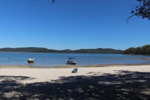
Smiths Lake
Smiths Lake


We called at a couple of places that prompted memories before we reached Forster on Wallace Lake and its twin town, Tuncurry. We lunched in the shade of a large pine tree by the water at the latter town before bypassing Taree and soon after, left the highway for Harrington, another old Sheather holiday and fishing location.

We have decided to remain here for two days so will tell you something of it in tomorrow’s blog.

Looking across Forster Beach
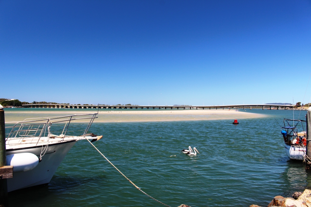
Looking across Forster Beach

The Forster Tuncurry Bridge. A ferry powered by a motor launch that could navigate the sand islands used to carry vehicles over the lake.
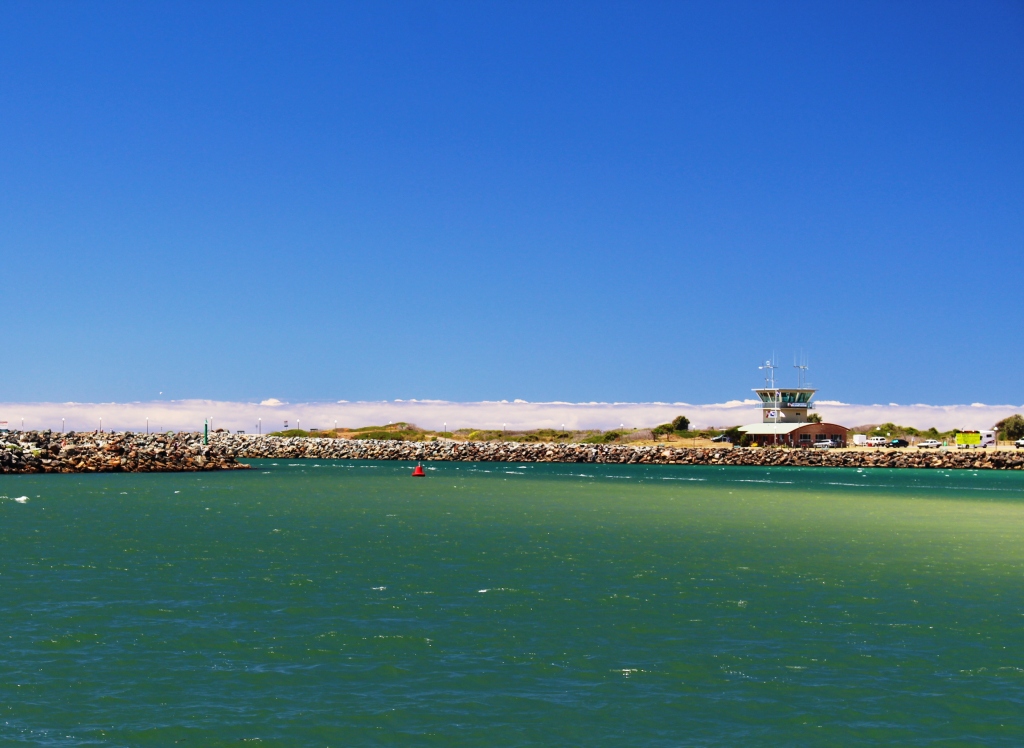
The Forster Tuncurry Bridge. A ferry powered by a motor launch that could navigate the sand islands used to carry vehicles over the lake.

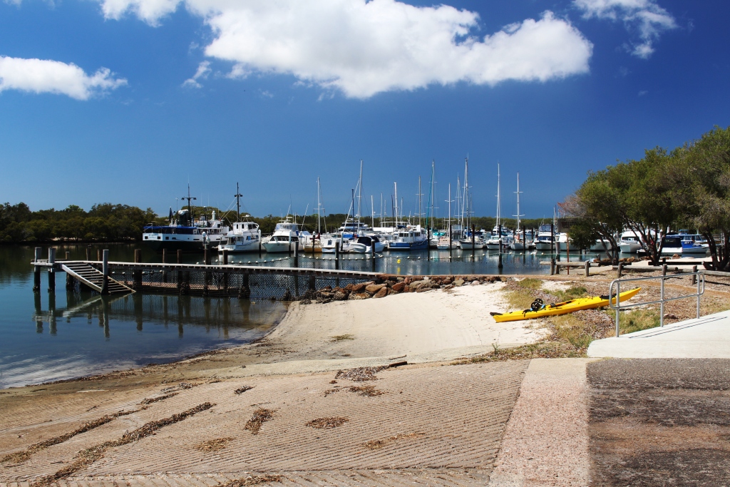
The entrance to Wallace Lake
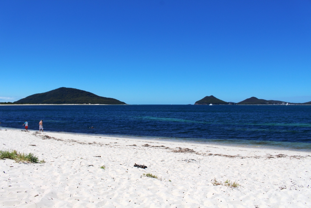
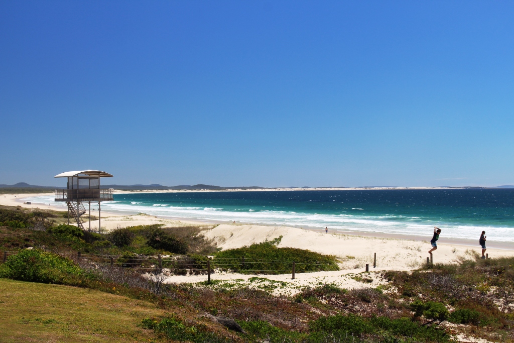
The entrance to Wallace Lake

Sydney 2014 – Day 23 – 8th February – Myall Lakes

That entrance again but this time from Winda Woppa Beach, near Hawks Nest.

That entrance again but this time from Winda Woppa Beach, near Hawks Nest.

The plan was to travel around the bay, through Tea Gardens to Hawks Nest, famous at the holiday choice of former Prime Minister John Howard, before the media packs hunted him out. These are attractive towns, the former on the lower reaches of the Myall River and the latter between the river and the ocean.

The twin headlands of Port Stephens are clearly visible to the south east of Hawks Nest beach, and the scene

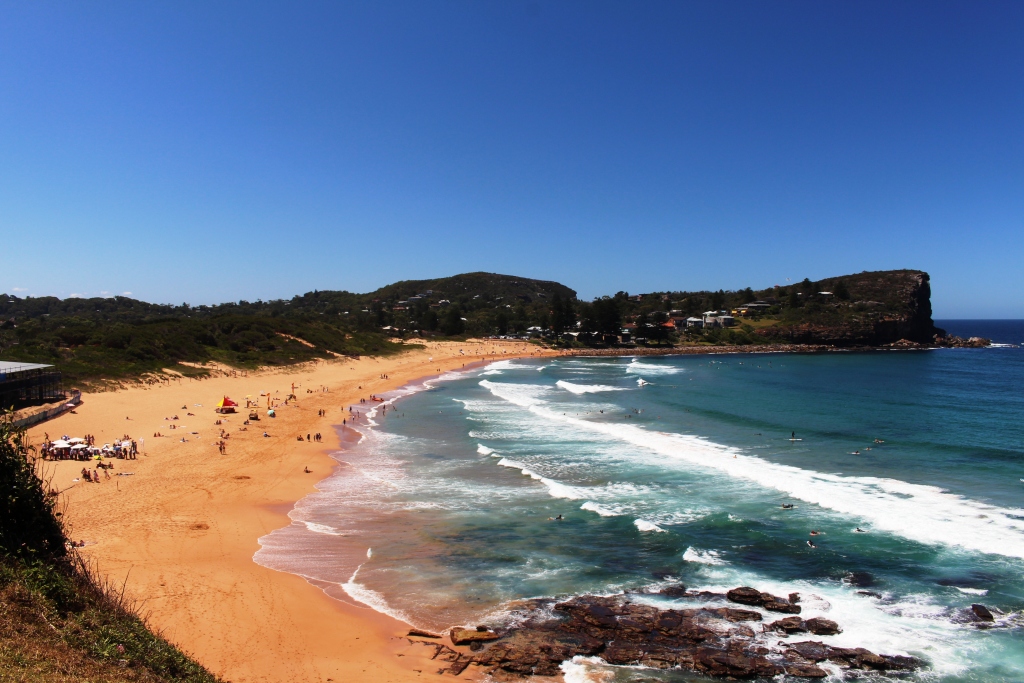
Hawks Nest Beach

Hawks Nest Beach

is further improved by mountainous offshore islands that spread northward along the coast. From these river mouth towns we drove along the narrow strip of land between the ocean beach and the Myall River and soon were within the Myall Lakes National Park. There are several camping places along this road and we had thought that we might spend the

The north headland of Port Stephens and off lying islands. The large island is Broughton Island

The north headland of Port Stephens (right) and off lying islands. The large island is Broughton Island

night at one but they were all crowded on this weekend when it seems that everyone was out and about.

After about 20 km the road swings west to a narrow part of the lake system where a small punt carries traffic across to Bombah Point.

There has been a tourist operation here for many years. Almost 70 years ago my parents brought the family here to a guest house

Bombah Point Punt

Bombah Point Punt

operated by the Legge family. In the early 50’s our family had several holidays here, camped under the shady Banksia and She oak trees that grow along the shore of the lake. About 45 years ago, returning on a trip from Melbourne to Cairns with my parents we camped here as Brother Ivan was here on holidays. Today a modern caravan park stands on the sight. We couldn’t

Right at the waters edge.

Right at the waters edge.

just drive past.

We have spent the afternoon in the shade of our awning, sitting about 20 meters from the water. It has been quite warm but there is a cooling breeze. Ruth is reading. I am alternatively reading and remembering. We expect a quiet night. There is a 40th birthday party at the other end of the park but we don’t expect that it will interrupt our rest.

The view as we read.

The view as we read.

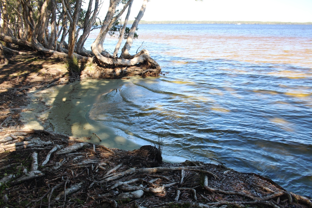
I had forgotten the private mini beaches.

I had forgotten the private mini beaches.

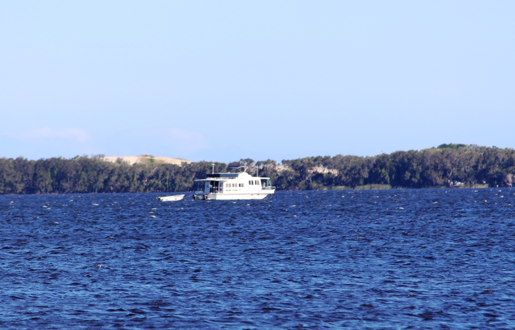
A house boat off Mungo.

A house boat off Mungo.

There were lots of friendly ducks.

There were lots of friendly ducks.

Sydney 2014 – Day 21 to 22 – 6th & 7th February – Port Stephens

Although I lived not far away from the area during the first 15 years of my life and have passed the roads that lead to it countless times, I don’t remember ever visiting the southern shores of Port Stephens. Certainly, I had visited the northern shore at Tea Gardens and spent time within what is now the Myall Lakes National Park, but had not been to the area often known generically as Nelsons Bay.

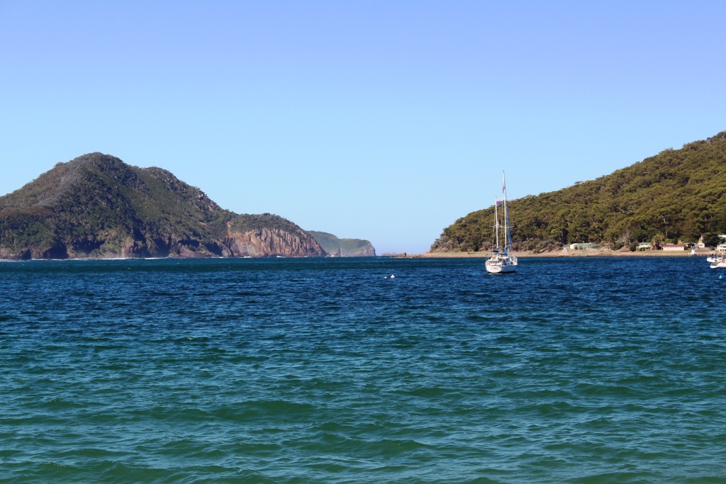
Entrance to Port Stephens from the lookout at the old lighthouse

Entrance to Port Stephens from the lookout at the old lighthouse


The entrance from Shoal Bay beach.

The entrance from Shoal Bay beach.

Several years ago Ruth and I bought a yacht in Sydney. I sailed it up the coast with a couple of mates. The plan was to call in at Port Stephens, but we arrived off the entrance at around midnight. There was no moon and it was pitch dark, or at least as dark as it gets at sea on a fine moonless night. We decided to sail on rather than risk a night entrance to a strange port. I was now able to see what would have been revealed by daylight had we made the nocturnal entrance.

The entrance from the second lookout

The entrance from the second lookout

This is a most beautiful part of the NSW coast and is very popular with the residents of Sydney and Newcastle. We stayed it Shoal Bay, from the crescent beach of which the entrance to this harbour can be clearly seen. We stayed at one of many well patronised caravan parks in the area. Brother Ivan and Sister-in-law Marjorie were right next door, an arrangement that proved to be ideal for chats when in camp.

Our early afternoon arrival allowed us to set up for the three night stay and then have an extended chat. Marjorie had prepared an evening meal for us so the talk went on until bed time.

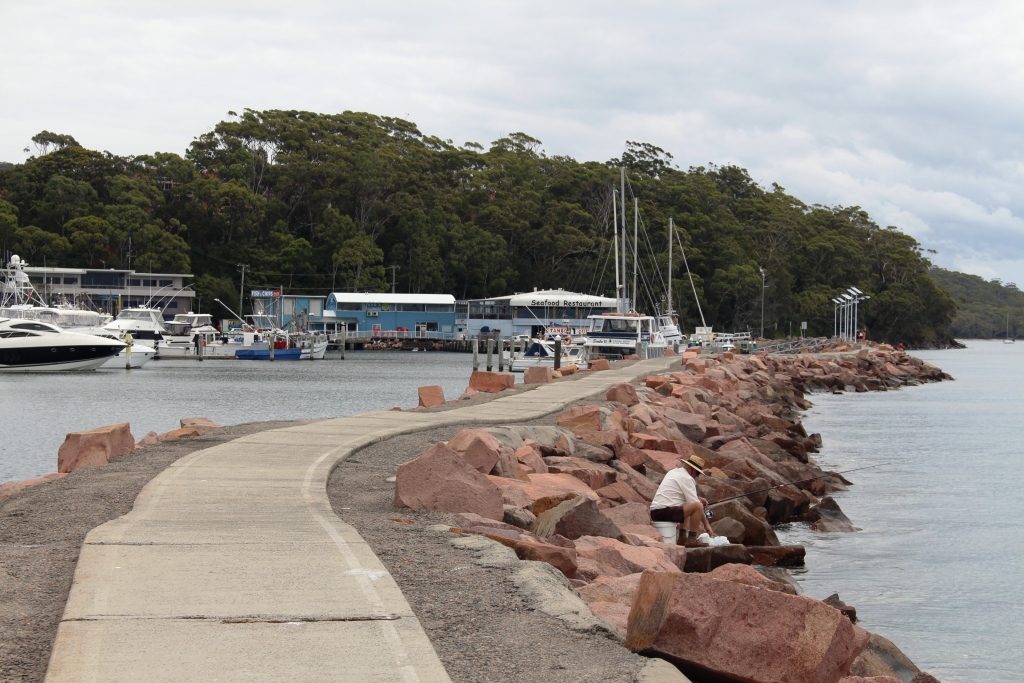
A favourite and often visited fishing wall.

A favourite and often visited fishing wall.

After clearing some commercial duties the next morning we all climbed into Ivan’s car for a tour. He, as the local, knew his way around. That allowed Ruth and I an uninterrupted view of the passing scenery.

The eastern end on the bay is a succession of beaches and headlands. Nature has been kind in providing hill tops suitable for lookouts just where they are needed. The old lighthouse on the western end of Shoal bay provided a superb view of the heads while another hilltop a little further inland provided a panorama of most of the extensive waterway.

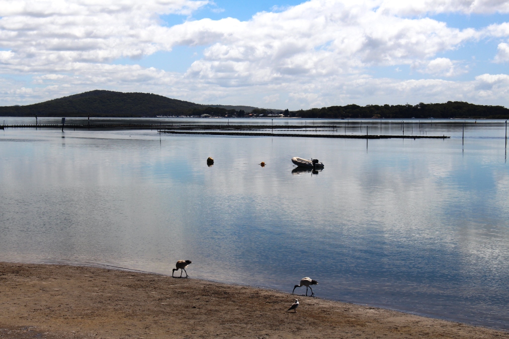
The reflective waters of the further reaches of the bay.

The reflective waters of the further reaches of the bay.

The waterway has a maximum length of 24 km and a width of 6.5 km in the widest part. It has a surface are of 134 square km. It shallows further inland and distributes into several bays, inlets and creeks. The Myall and Karuah Rivers empty into Port Stephens.

Ivan has been a keen fisherman most of his life, so we saw many of his favourite fishing spots, including a convenient flat rock on the marina breakwater from which he has caught luderick , or black fish as they were known in less PC times.

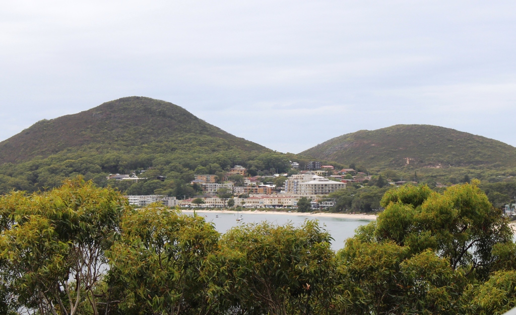
Harbour side development

Harbour side development

The development around the waterfront, particularly in elevated positions, is impressive. Much is tourist oriented with resorts, units, motels and hotels in copious number. This is a boating and fishing area so has its share of boat ramps, marinas and extensive areas of moored pleasure craft.

We enjoyed lunch in the café at the main marina and watched the commercial marine activity. This is a whale watching port, but when whales are out of season dolphins seemed to be a viable replacement. Tourist boats kept up a constant shuttle with tourist buses arriving regularly with loads of overseas tourists, predominantly Koreans. While we watched, a crocodile of school children passed, some with fishing rod and others with hand lines, heading for the harbour wall. It would seem that living off the land is still taught in NSW schools.

Recreational craft at anchor in Lemon Tree Passage marina

Recreational craft at anchor in Lemon Tree Passage marina

On Friday we travelled further afield to see more upstream parts of the bay, including fishing spots of course, and then drove to Anna Bay to see the eastern end of the massive sand deposit known as Stockton Beach. If the tide had been suitable I would have taken the party for a drive over that magnificent stretch of sand in the Challenger, but high tide occurred around noon so the timing was not good.

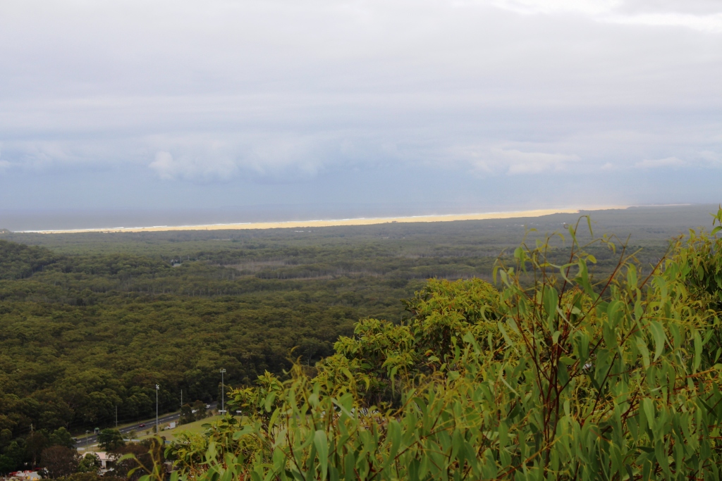
The extensive Stockton Beach from the lookout above Nelson Bay

The extensive Stockton Beach from the lookout above Nelson Bay

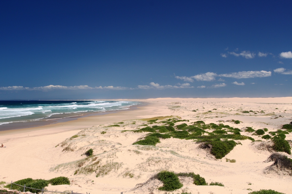
A closer view of the vast sand deposits of Stockton Beach

A closer view of the vast sand deposits of Stockton Beach

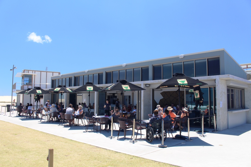
Our lunch venue at Birubi Point at the eastern end of Stockton Beach.

Our lunch venue at Birubi Point at the eastern end of Stockton Beach.

So we consoled ourselves by lunching at the front of the Birubi Point Surf Lifesaving Club café with a view down the length of the beach, with the hills behind Newcastle in the far distance. What a magnificent view! And with good food to eat while we enjoyed the view.

The caravan park was well appointed but busy. Grey nomads are known to hitch up their caravans as soon as children return to school. The population of the park was older but some families were still holidaying.

The crazing didn't seem to stop!

The crazing didn’t seem to stop!

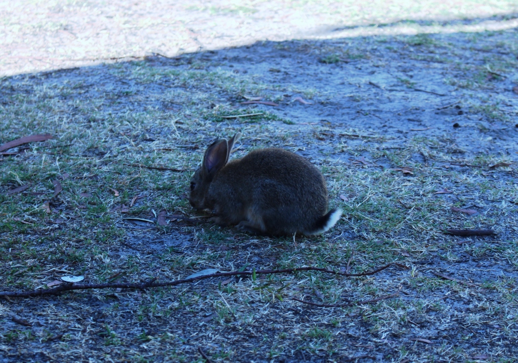
Among the constant movement of people and vehicles, three small rabbits kept a close eye on the activity as they calmly grazed among the van sites. They showed little fear – just looked at you and grazed on.

Sydney – Day 13 to 20 – 29th January to 5th February – Sydney with family

Having heard forecasts of hot weather in Sydney, we packed to leave Katoomba with some reluctance. We had a very straightforward run down the mountain, stopping for coffee just past Penrith and reaching the Lane Cove River Tourist Park at about lunch time.

It was hot, so it was not long until the air conditioner was operating and with the assistance of a fan to circulate the air and comfort was restored.

We had an early start on Thursday to meet Karen’s flight, which arrived at about 6.30 am. Karen is staying with Briony while we are in Sydney, so a North Ryde to Erskineville commute is a daily routine. Briony is working and Karen has some commitments but we are able to spend some valuable time together.

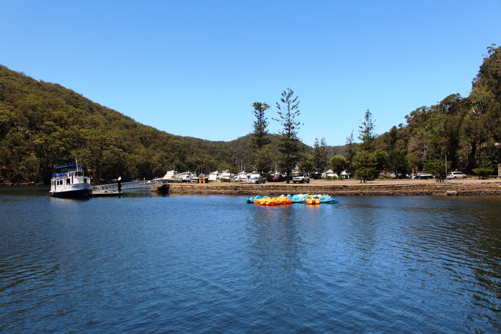
Pleasure boats at Bobbin Head.

Pleasure boats at Bobbin Head.

On Friday we had a few spare hours in the middle of the day so we took Karen for a picnic at Bobbin Head in the Ku-Ring-gai Chase National Park. On Saturday we (all four of us) commenced our day with brunch at the Sydney Fish Market and then drove out to the home of Ruth’s youngest sister at Mt. Annan for a family gathering. We all eat far too much food but a great time was enjoyed. Much catching up with folk who we do not see very often.

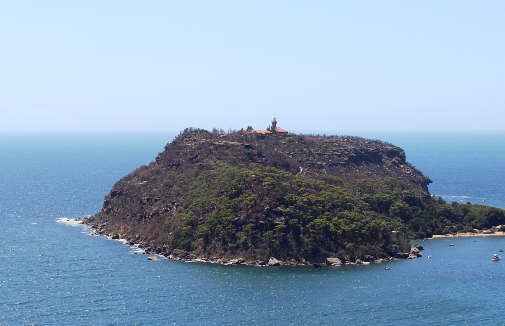
Barrenjoey Head at the mouth of the Hawkesbury River.

Barrenjoey Head at the mouth of the Hawkesbury River.

The mouth of the Hawkesbury River.

The mouth of the Hawkesbury River.

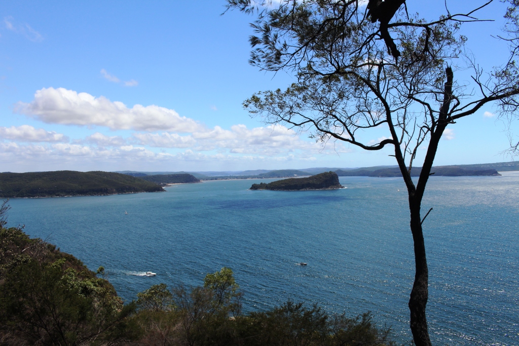
Ruth and I had the day to ourselves on Sunday. We used it to continue our visit to Ku-Ring-Gai, driving out to West Head where magnificent views of Palm Beach, Barrenjoey Head, Lion Island and the extensive waters of Pittwater and the mouth of the Hawkesbury River are laid out like a diorama. Over thirty years ago, during a short term posting to Sydney, we owned a small yacht

Palm Beach and Pittwater.

Palm Beach and Pittwater.

that we kept on Pittwater, so these waters were our regular weekend playground. The views brought back very pleasant memories.

We later drove along the Northern Beaches as far as Avalon where we found a pleasant small restaurant for lunch. We returned to the caravan via Dee Why. It was in this beach side suburb that Ruth spent her teenage years, so there was a certain nostalgia during this part of the drive.

Avalon Beach

Avalon Beach

Monday was Briony’s birthday. It was a work day for her, so we met her after work at the Red Lantern on Crown, a trendy Vietnamese Restaurant in now fashionable suburb Redfern. The restaurant is operated by TV chef Luke Nguyen, who I had never heard of before, but who everyone else seems to know. Briony is a confirmed “foodie” and had sought out the venue with great care. She had chosen the tasting menu. The food was superb.

Tuesday was our last day in Sydney. It was a cool day and raining. Karen was moving on to stay with friends in Sydney so we spent some time with her in the shelter of a shopping mall before returning to the van to start to pack for our departure the next day. That evening we made our last trip to Erskineville where we had a meal with Briony before saying our farewells and returning to North Ryde. We had spent a very pleasant and happy week with our two daughters who we see together so infrequently.

On Wednesday, still in the family theme, we have come north to Shoal Bay on Port Stephens to spend three days with my elder brother Ivan and his wife Marjorie. They are Novocastrians, so have had only a short journey to reach the Shoal Bay Tourist Park. Their van is parked right next door so coffee and chats are easy and convenient. We will be seeing the sights while here so normal blogging will resume.

Sydney 2014 – Day 12 – 28th January – Megalong Valley Plus

I have wondered for years what is in the Megalong Valley. The answer is – not much!

We started the day with a visit to the business district of Katoomba to collect mail and do some shopping. That done, we packed lunch and headed back to Blackheath, from where the road descends into the Megalong Valley.

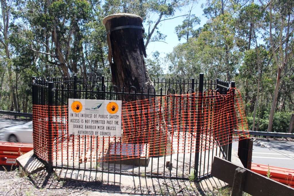
The historic Explorers Tree

The historic Explorers Tree

On the way we made a call at a historic site known as the Explorers Tree. As the  photograph shows, the tree is now a stump, but it’s significance is that it was marked by explorers Lawson, Blaxland and Wentworth in their first crossing of the Blue Mountains. Obviously it needs some TLC.

Eight kilometres of sealed, narrow and winding two way road leads to the tiny town of Megalong and for a surprising distance beyond, given that it leads to a dead end.

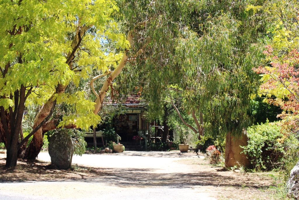
Shady café in Megalong.

Shady café in Megalong.

The Megalong Valley is another area of former shale mining, but that was long ago and there are no obvious signs of it today. The area is mostly rural with a little tourist activity. There are a couple of horse trail riding operations and a surprisingly successful cafe/restaurant, judging by the number of laughing and chattering people seated at tables beneath shady trees. Through the town are

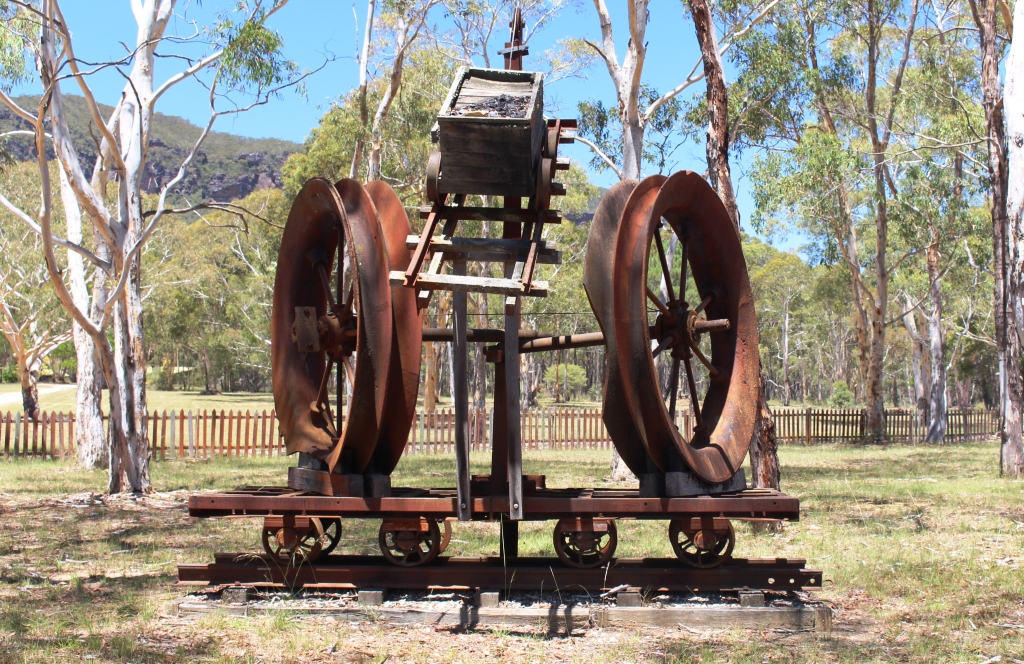
Shale mining memorabilia.

Shale mining memorabilia.

at least three free camp areas with toilets provided, which seem to be favoured by motor homes.

Back at the top of the mountain we turned left to visit Hargreaves Lookout and in so doing drove through the Shipley Plateau area that the tourist brochure claimed to be worth visiting for the orchards there. Obviously the material was written a long time ago and no one has bothered to update it. There is really nothing to see. Prominent signs lead to one apple orchard that clearly has been closed for years.

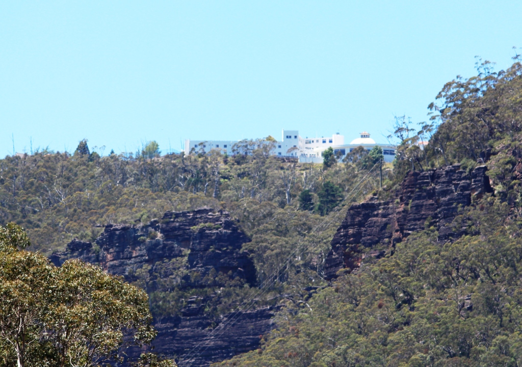
The Hydro Majestic Hotel at Medlow Bath from the Megalong Valley.

The Hydro Majestic Hotel at Medlow Bath from the Megalong Valley.

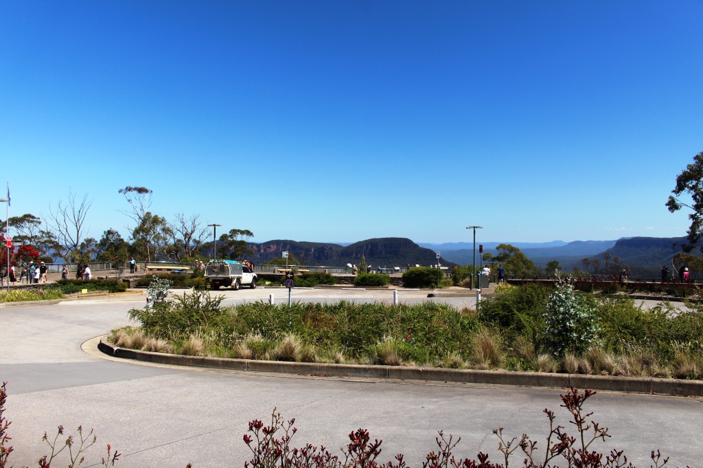
Viewing area at Echo Point.

Viewing area at Echo Point.

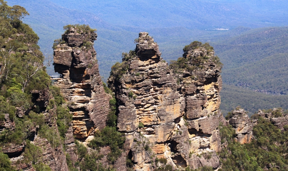
So, feeling that we had given the Blue Mountains a pretty good going over we came back to Echo Point to once again view the Three Sisters. We had one of the clearest views possible on what was a near perfect summer afternoon. And, unlike most other sisters that I know, they do not look a day older. On the way back to the van we took the short stroll

Classic view of the Three Sisters.

Classic view of the Three Sisters.

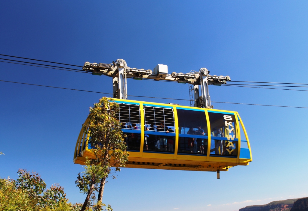
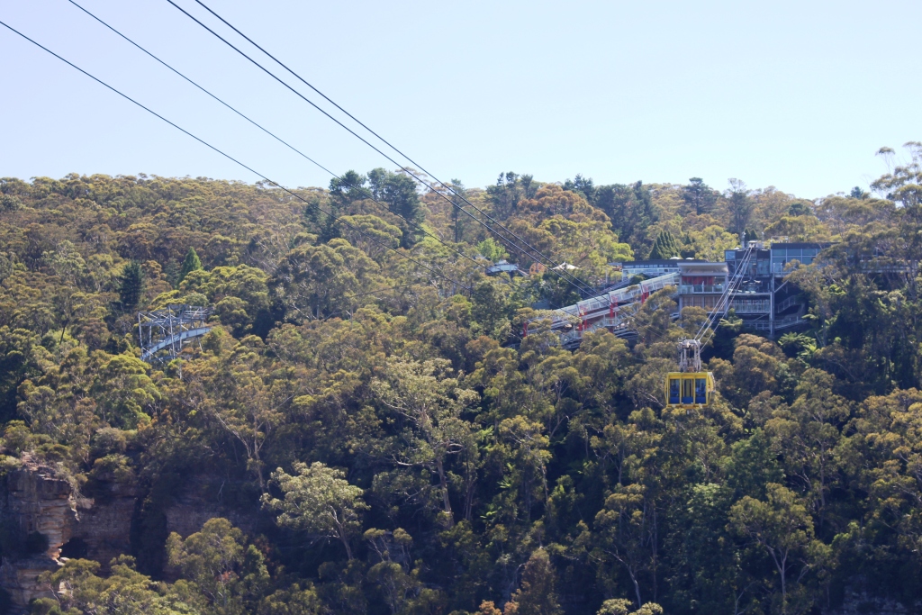
to Cliff Lookout where we had excellent views of the Skyway, Scenic Railway and the newer cable way that also runs to the valley floor. We also saw where Katoomba Creek plunges into the valley from a different view point and Ruth caught a glimpse of Katoomba Falls.

The Skyway car passed over on our walk.

The Skyway car passed over on our walk.

The complex at Scenic World

The complex at Scenic World


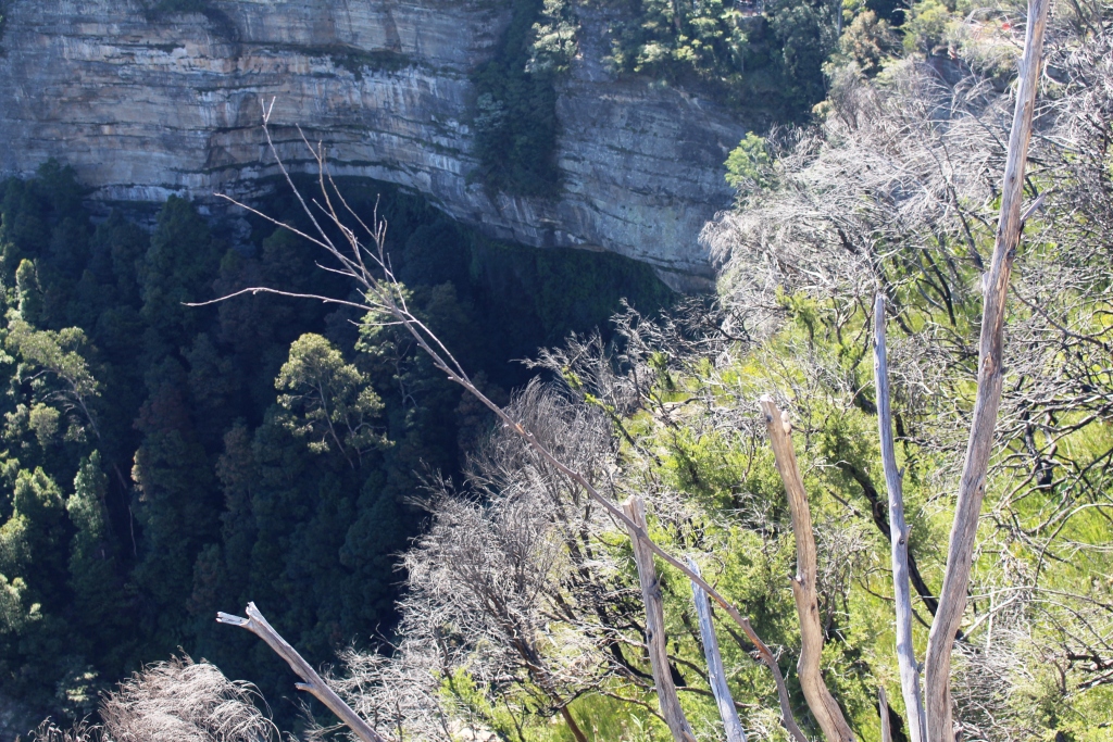
Where Katoomba Creek takes its final plunge.

Where Katoomba Creek takes its final plunge.

This visit to the Blue Mountains has been mainly about looking at iconic tourist sites. I would like to return for long enough to do some of the many walks, particularly those that run along cliff tops or descend into the valleys.

And where are the best mountain views? Govett’s Leap, without a doubt!