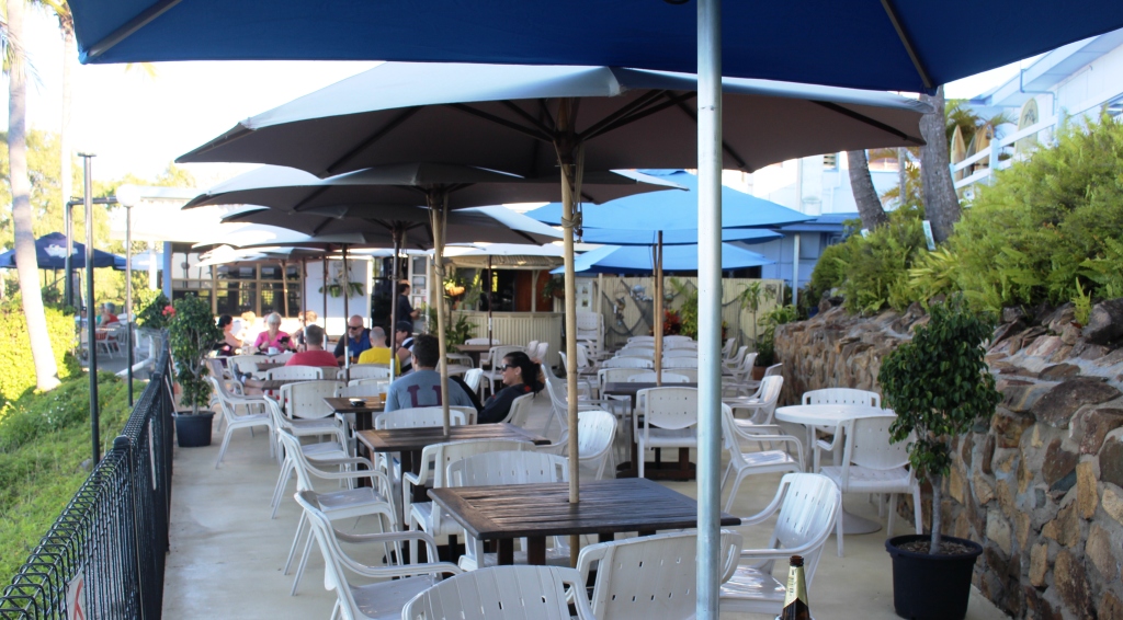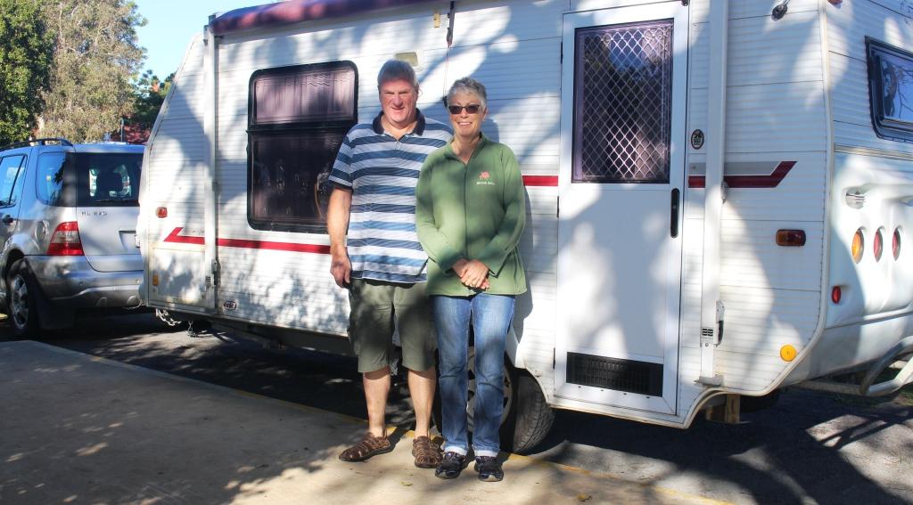
Keith and Linda. Van packed and hitched and ready to go
Our original plan, on which we set our departure date, had us meeting Keith and Linda (see previous post) further north, possibly as far north as Airlie Beach. But their progress down the coast was a bit faster than we had anticipated so we met them at Bundaberg, as most readers will already be aware.

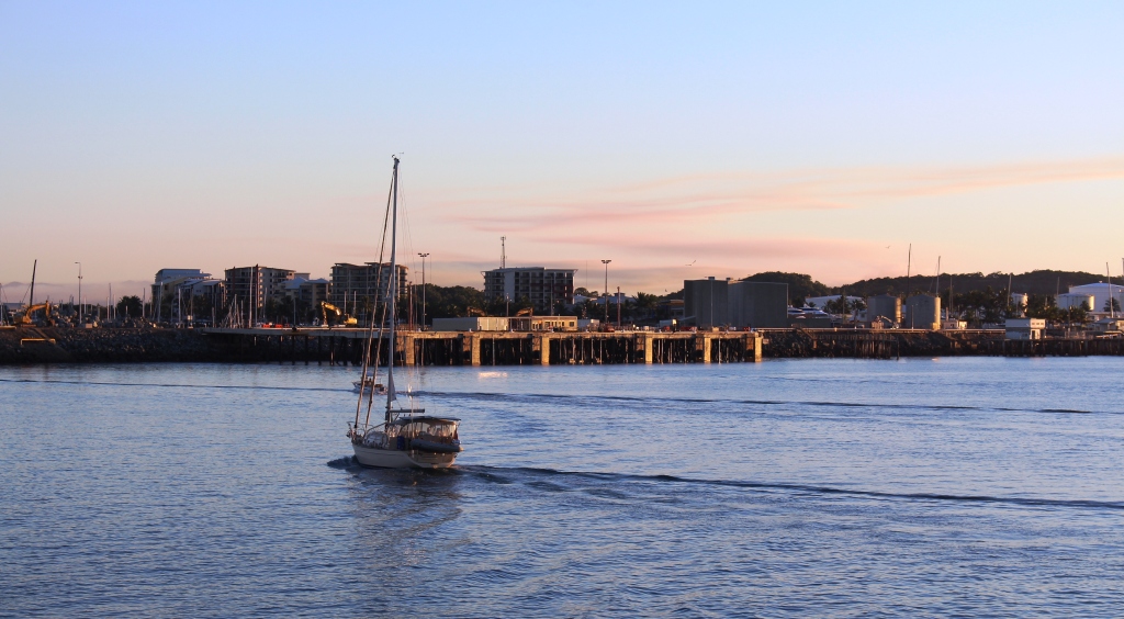
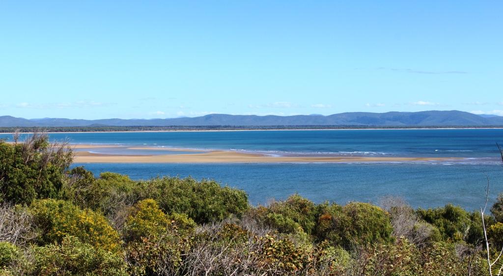
Near the mouth of the Burnett River at Burnett Heads
When we parted with them at Burnett Heads we had five days in hand for which we had no predetermined plans. Not a problem! There are always things to look at and places to go.

Beached flood debris on Rules Beach near Baffle Creek
We decided to spend a couple of days at Agnes Water/Seventeen Seventy, but a lot of other people had made the same decision. All caravan parks were fully booked. As an alternative we chose Baffle Creek Caravan Park, located about equidistant from Bundaberg and Seventeen Seventy.
If you want other residents to talk to you at Baffle Creek Caravan Park it is best to arrive with a boat on top of your car, or at least have a conspicuous fishing rod on board. This is a fishing area and people go there to fish. We used it as a base for a day trip to Agnes Water and Seventeen Seventy.
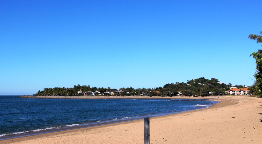
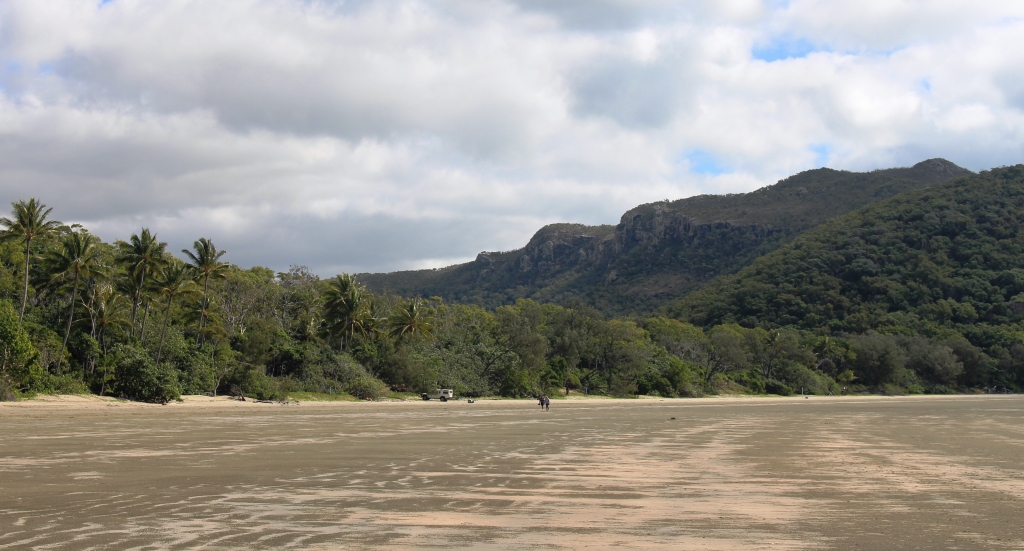
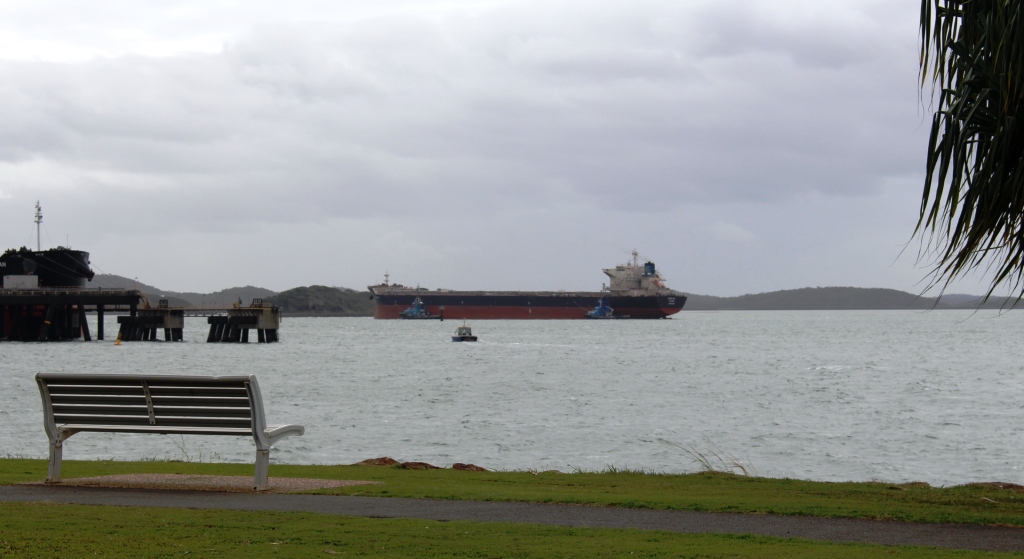
Sand banks in Round Head Creek at Seventeen Seventy
We have visited this area before and I have blogged about it. The day was near perfect. Clear skies and a gentle breeze, although up on Round Hill Head, the headland that stands above the town of Seventeen Seventy, the wind was stronger. We did a couple of walks to take in the rugged scenery and the panoramic views of the ocean provided by this vantage point, before returning to the water side park, near the Seventeen Seventy hotel, where we settled ourselves in a picnic shelter for a leisurely lunch.
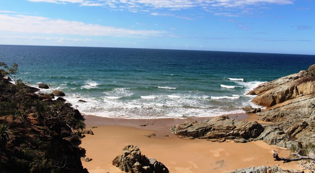
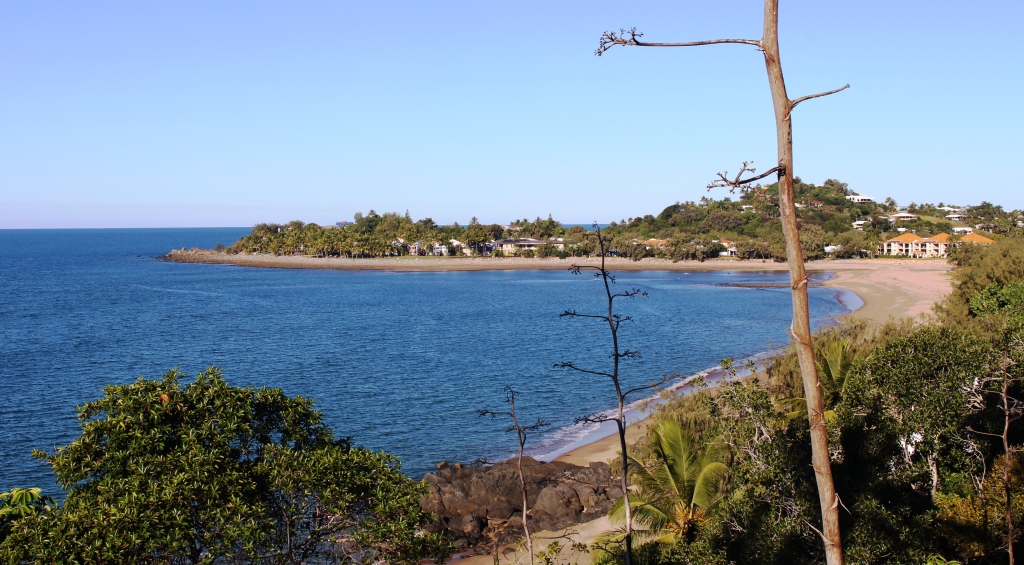
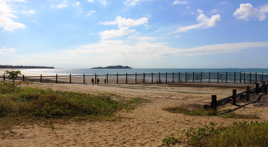
A small bay on the ocean side of Round Hill Head
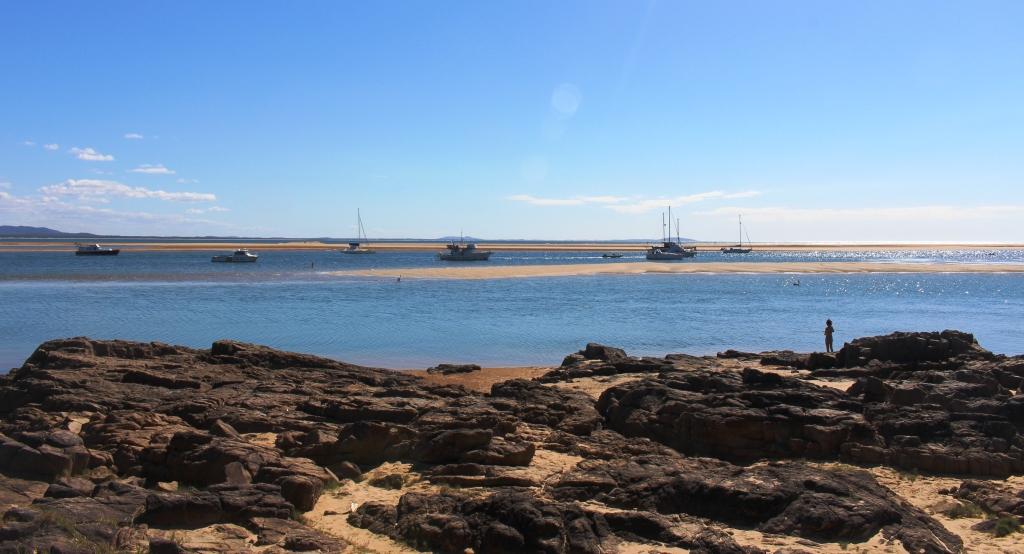
Boats at anchor in Round Hill Creek
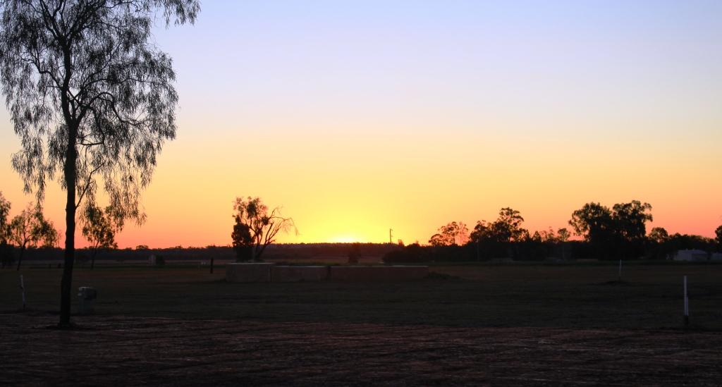
The sun sets over the agricultural fields at Biloela
That took care of the first two days. For the remaining three days we decided to go inland to Biloela via Calliope and the Dawson Highway. We wanted to cross from Miriam Vale to the Boyne Valley, as an alternative road to Calliope, but tales of horrendous road conditions on the first part of that road put us off, so we stayed on the Bruce Highway.
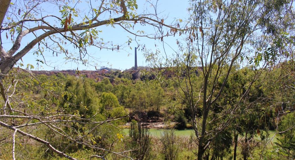
The 70 metre chimney at Mount Morgan gold mine
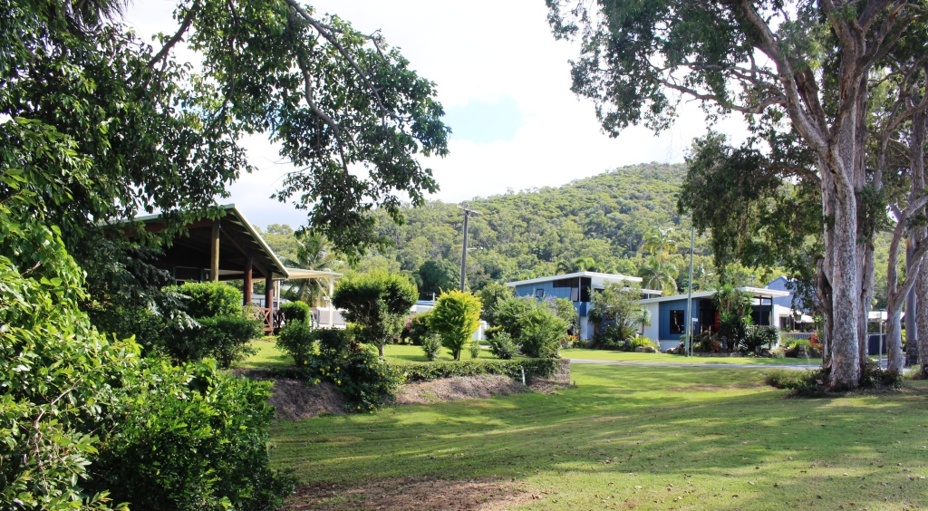
We returned to the Queensland Heritage Park at Biloela for the night. In our short trip north in June we had spent a night here so were on familiar tertiary.
The logical path to the Yepoon area from Biloela took us through Mount Morgan. I think we had only driven through this historic gold town previously but our plans for a closer look were made a bit more difficult when we found that the only decent caravan park in Mount Morgan was booked out.

Mount Morgan museum display
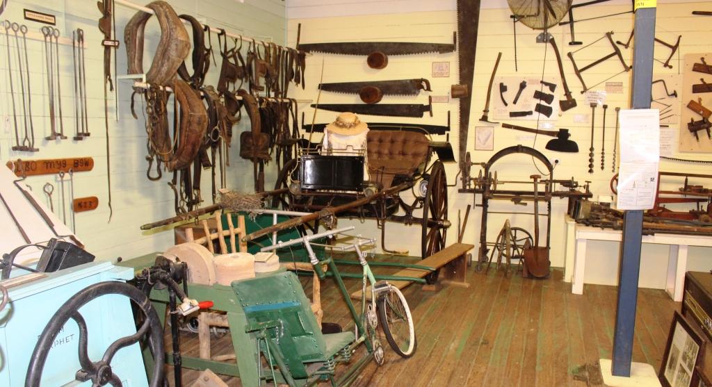
Mount Morgan museum display
Mount Morgan museum display
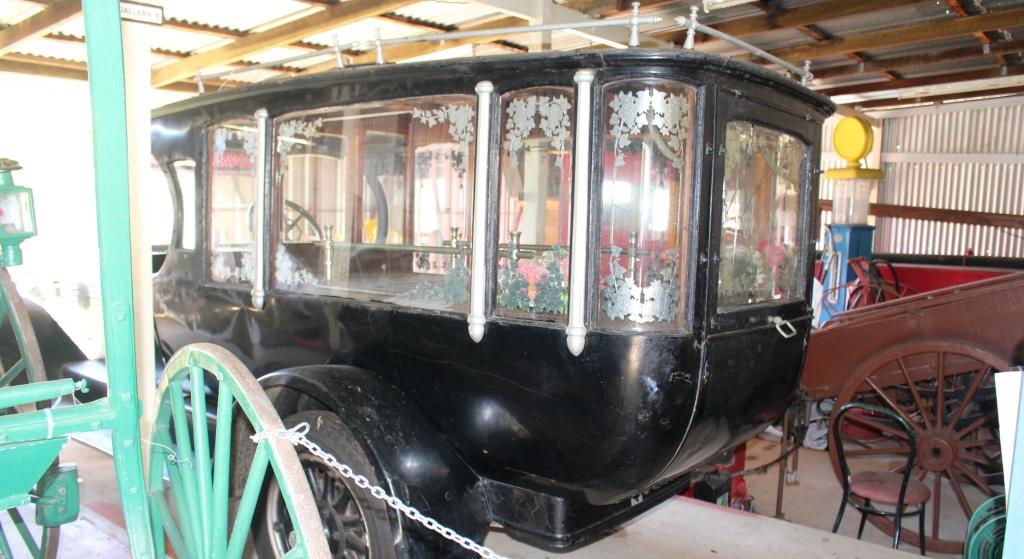
A rear view of Mount Morgan’s first motor hurse
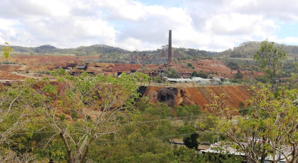
The old gold mine, viewed from a vantage point in the town
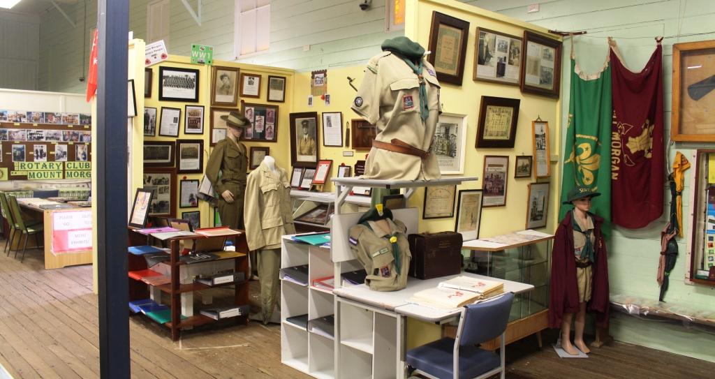
So we booked two nights at Gracemere, a town that is now almost a suburb of Rockhampton, but still close enough to Mount Morgan to make a day trip back. On our way through the town we drove around to get our bearings and to find mine viewing vantage points. We then visited the superb museum in the town. The vast collection of historical memorabilia is divided into categories and themes, with the mine dominating. But other sections contained material related to the hospital, armed forces, scouts and guides, religions, local aboriginal history and more.
We found that a tour of the mine was available on a daily basis so when we reached Gracemere we phoned to make a reservation for the next day.

The head equipment of the shaft that took miners to their work
Gold mining was commenced by two Morgan brothers in 1882 but the scale of operations increased in 1888 when a company was formed and more finance became available. Mining finally ceased in 1990 but there was a period in the late 1920s when the mine was closed for five years, due to flooding to extinguish a fire in the mine shafts.
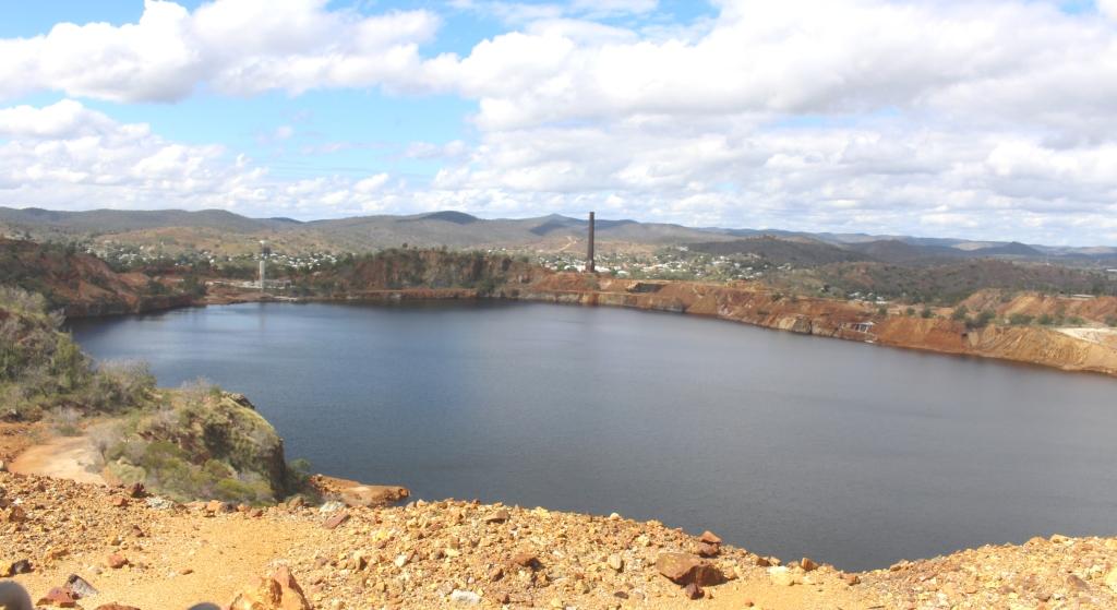
The pit, one of the largest in the Southern Hemisphere, is now almost full of water
But it was a very successful mine for most of its one hundred year life and many fortunes were made. One example of this was Walter Hall who was an early shareholder and director. Some of his fortune was later used to found the Walter and Elisa Hall medical research foundation. This is just another example of the extent to which gold played such a dominant role in the foundations of Australia.

A model of the Mount Morgan pit displayed in the museum section of the company office
Our return to the caravan at Gracemere brought to a conclusion the brief period of filling in days. The next day we travelled to Kinka Beach, south of Yepoon, for our few days with sister Aileen and brother-in-law Colin, before we head west for the main part of this trip.