
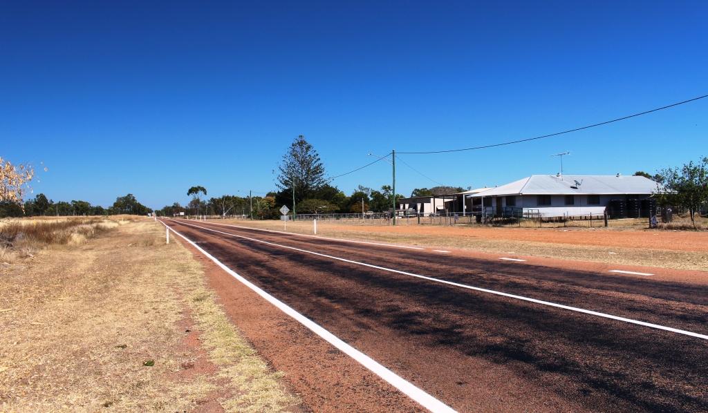
The road to Hughenden through Homestead
There were things to see in Charters Towers but we treated it as an overnight stop. For time reasons we departed the next morning for Hughenden. The road, again, lead through grazing country, with cattle in evidence from time to time. We passed through the small towns of Homestead, Pentland, Torrens Creek and Prairie. At least some of these towns owe their existence to the original cattle station of which they were part. Their common feature is that they all have a pub.
There are a lot of cattle stations down this road.
Hughenden is the administrative centre of the Flinders Shire and is on the Flinders River which runs into the Gulf of Carpentaria. About 100 km east of Hughenden we had passed a sign informing us that we had entered the Lake Eyre catchment but must have passed out of it a bit further on.
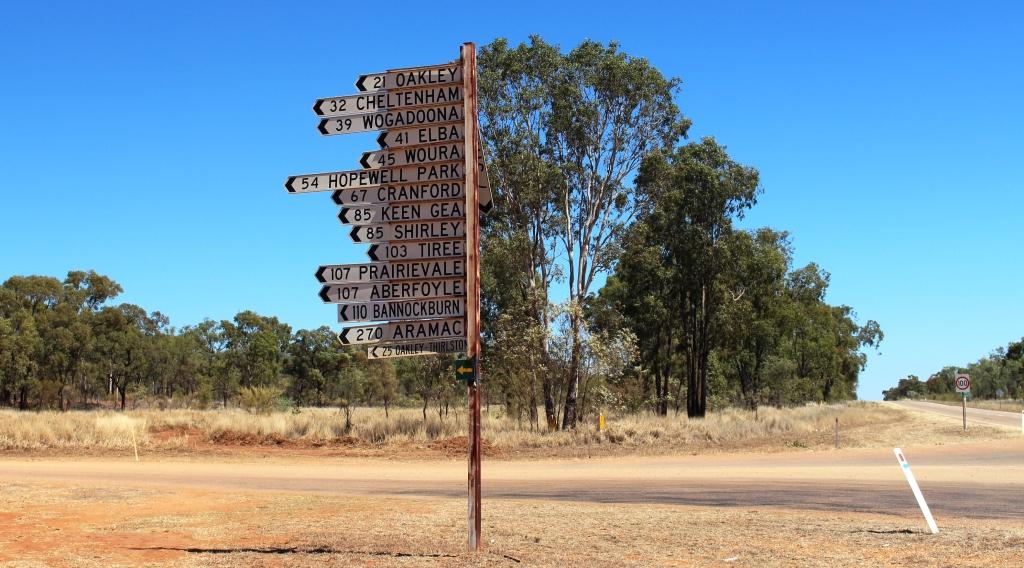
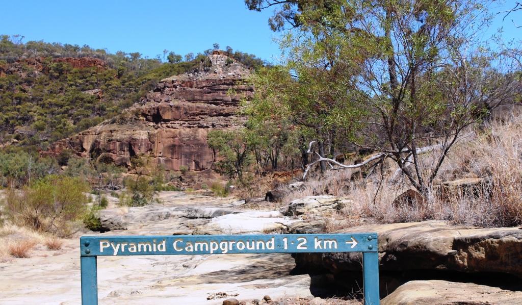
Local councils put a great deal of effort into informative roadside material
Hughenden is one corner of the Dinosaur Triangle but is also the main stepping off point for Porcupine Gorge National Park.
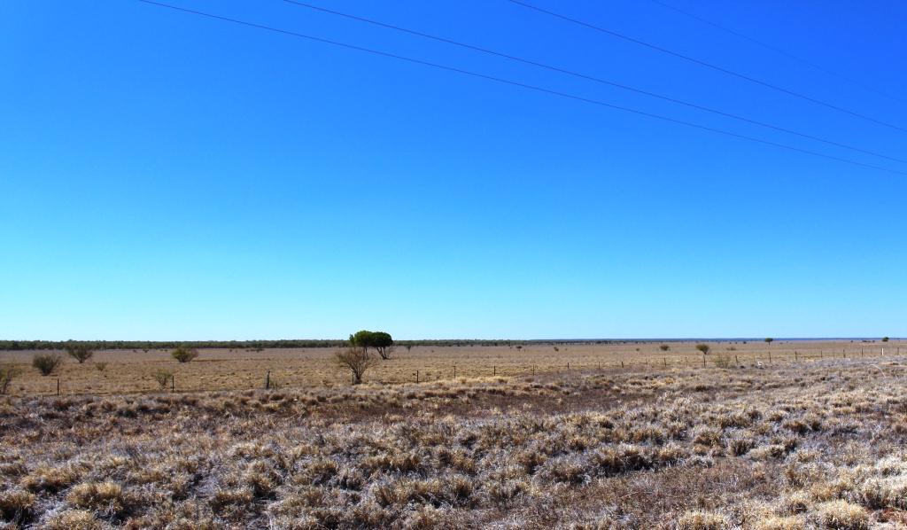
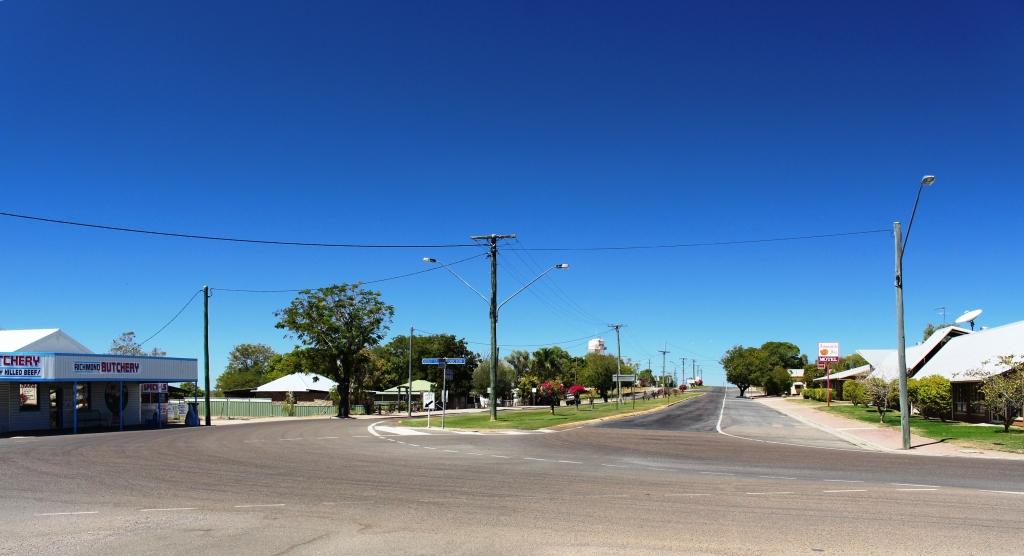
Flat terrain near Richmond
We had planned to spend one night at Hughenden and then a night at Porcupine Gorge but the caravan sites at the camping area were all booked. As there were vacancies the next night we stayed in Hughenden for two nights and took a day trip to Richmond, the second corner of the Dinosaur Triangle, during the intervening day.
The Dinosaurs of Hughenden and Richmond

The land based dinosaur at Hughenden
The Flinders Discovery Centre at Hughenden dispenses visitor information but also houses the dinosaur museum. The establishment is not large but contains a large dinosaur replica made of parts cast from genuine fossilised bones of real dinosaurs. It dominates the building and is supported by displays of information about dinosaurs. The skeleton is made substantially from fossils found around Hughenden but has been supplemented by parts of Muttaburrasaurus, a dinosaur found at nearby Muttaburra.
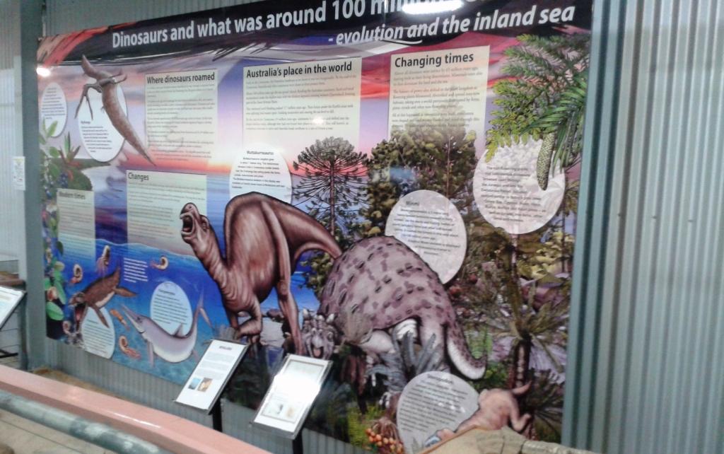
Part of the display at Hughenden
Dinosaur fossils were first found in the area in 1867, with finds increasing in recent years as interest has grown and governments have allocated more money to research. The dinosaurs on display at Hughenden are land dwelling but at Richmond many marine creatures have been found. The display at Kronosauraus Korner, as the museum at Richmond is named, is based on marine finds. Way back, we are told, this area was at the edge of a huge inland sea.
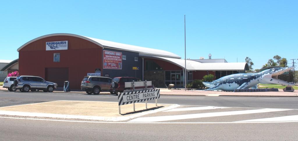
Kronosauras Korner at Richmond
The main street of Richmond
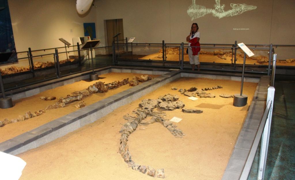
The Richmond Facility is world class. I think it is quite remarkable for a small town like Richmond that has only about 550 residents. The Pliasaur is undoubtedly the main attraction. It is one of the most complete dinosaur skeletons found anywhere in the World and is magnificently displayed in a gallery named for the station owner who found it on his Marathon Station.
Display at Richmond – note the light show on the wall
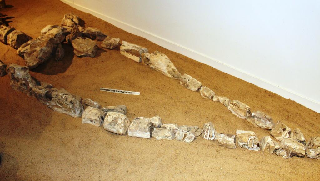
Fossilised Bones of Didosaur Head
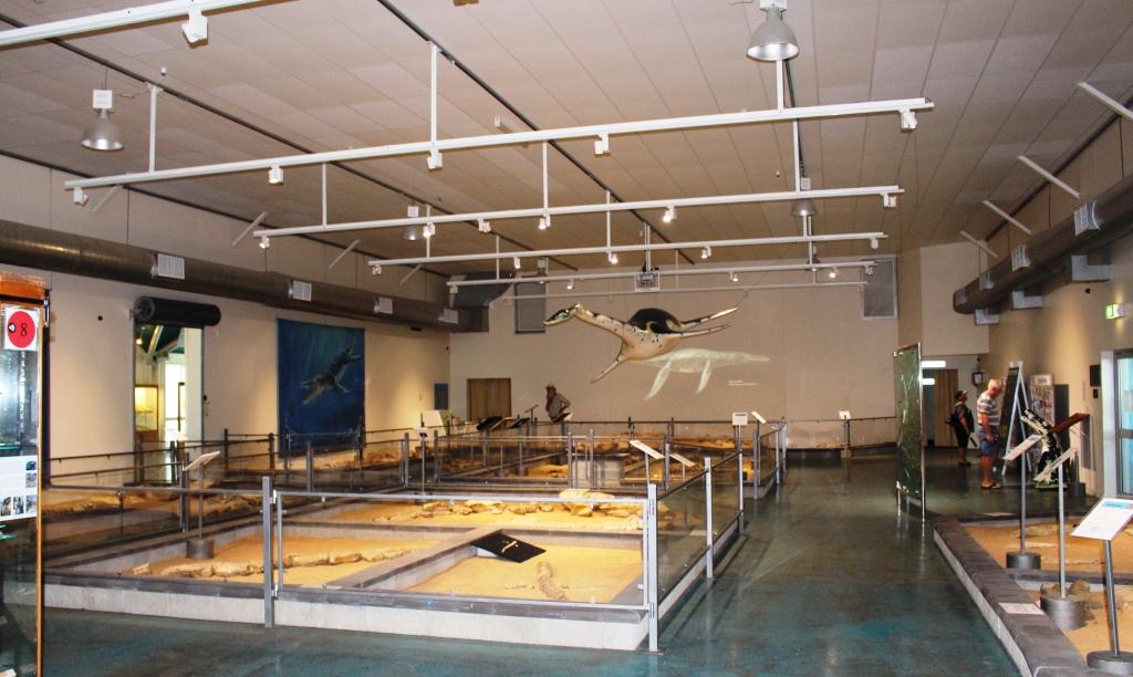
A general view of the Richmond display
Dinosaurs are a huge subject so I am not about to try to cover scientific detail here. Suffice to say that the whole subject is well and truly covered in the displays in both towns and is a major tourist attraction. I will allow my photographs to demonstrate.
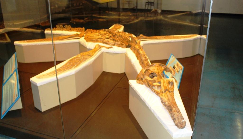
The pride of Richmond museum – the Pliosaur
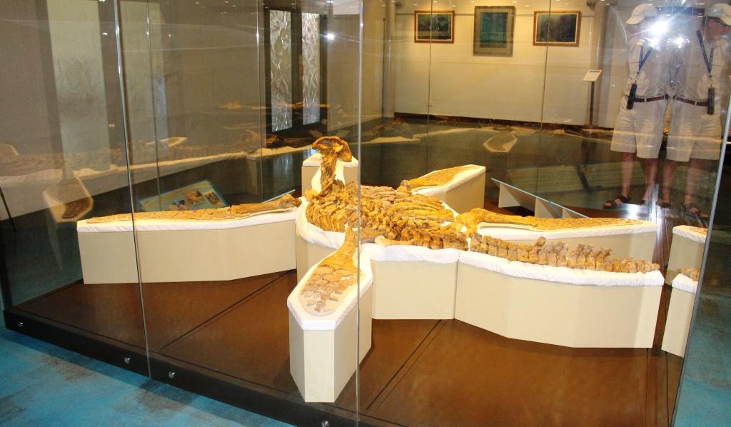
Another view of the Pliosaur
The council operated caravan park was close to full both nights that we stayed there and was well set out and well managed, with modern and well kept amenities. The standard of such infrastructure is indicative of the effort that councils put into maximising the value of the tourist dollar for their rate payers and residents.
Porcupine Gorge
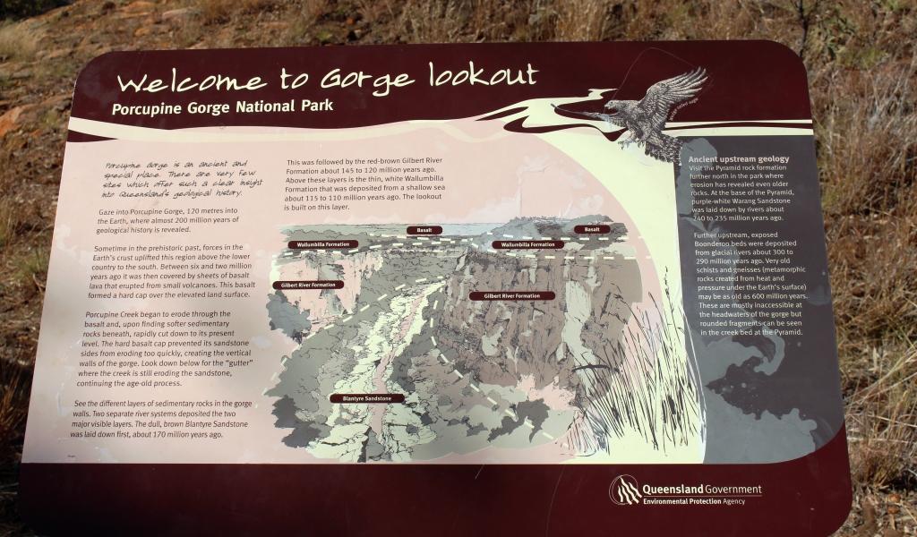
Sign at the Gorge Lookout
The gorge, well known to wandering grey nomads, is at the end on about 75 km of sealed road. The road is part of the Kennedy Developmental Road that starts at Winton and goes north. It ultimately becomes the Kennedy Highway that leads via the Atherton Tableland to Cairns. A gravel surface starts after Porcupine Gorge but the sealed surface returns further north.
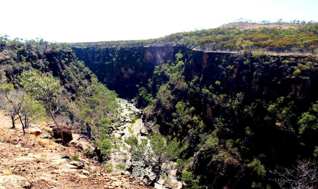
Gorge at the lookout
We arrived at the Gorge just before lunch. By this point in our travels the weather had warmed some and temperatures that day were reaching towards the mid 30s so I was keen to do my planned gorge walk. Ruth had withdrawn from the event due to her knee problems. I had a quick lunch and headed off, equipped with my camera and a bottle of water.
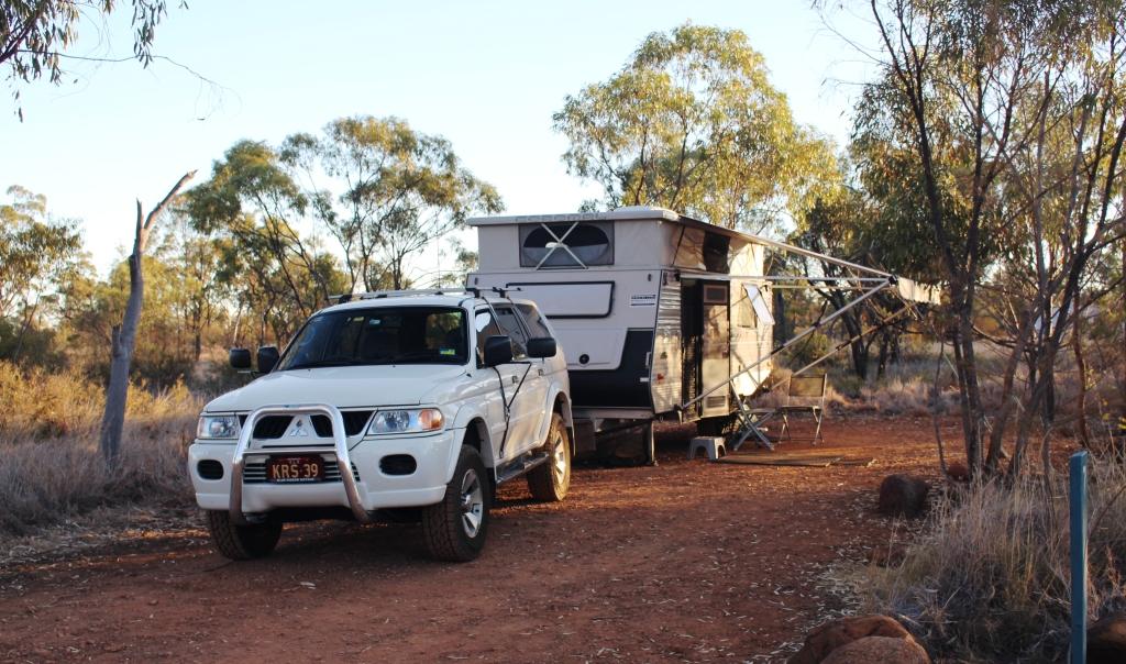
Our camp sight
The walk to the bottom of the gorge from the camping area is about 1.2 kilometres, of which the majority is the climb down. Fortunately there was a cool breeze blowing along the gorge and it kept conditions comfortable. On the way down I met several walkers, most of them senior citizens, making their way back up. I could see by the amount of puffing that most of them were doing that the climb back up would be a bit of a challenge.
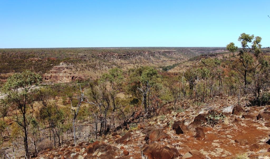
The gorge is in a flat landscape

The path lead over rocky steps
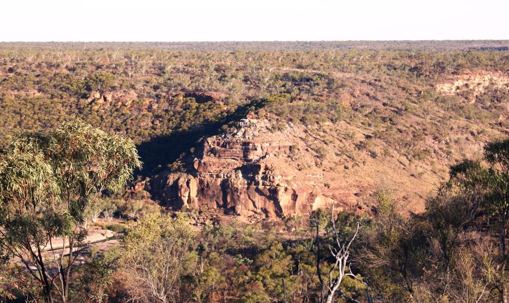
The gorge is a huge slash in the quite flat countryside, excavated over the millennia by the now quite modest Porcupine Creek which runs through its 15 km length and continues to run under the road in. Of course, in flood time it would be anything but modest. Because the area was an inland sea the rocks are sedimentary and relatively easily weathered. An inspection of the stone floor of much of the gorge shows clear signs of the continuing process of erosion.
Weathered rock forms the gorge floor

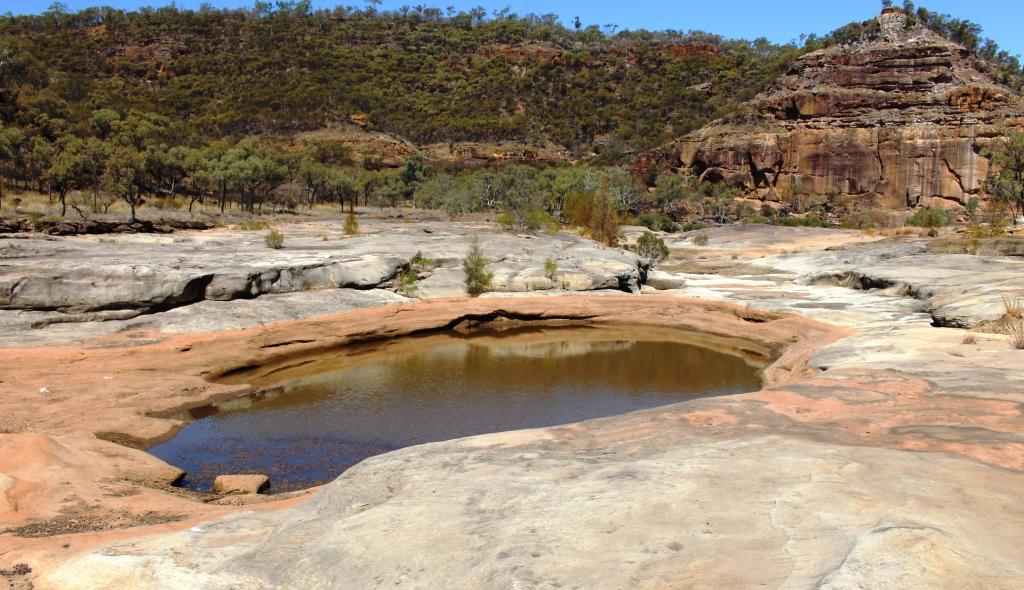
The Pyramid
The stream runs through this part of the gorge, expanding into water holes at various points. Some of the walkers were taking advantage of the pools to take a refreshing dip but most said that the water was very cold. At the lower end of this section of the gorge a geological feature known as The Pyramid stands in the path of the stream and turns it aside to find its way around a couple of turns and on its way. The pyramid is the weathered face of a cliff, named for it’s shape.

Is this a fishing or a swimming hole? But the fish are protected in the National Park
Back at the top looking down
Time to start the climb back up
I took my time climbing back up the incline. It is made up of dirt path with occasional steps and lengthy stairways constructed from the rocks that litter the hillside. The rangers have done a great job with access to the gorge but that doesn’t make the climb on a warm afternoon that much easier. I arrived back at the caravan more than ready for a long cold drink despite emptying my water bottle during the climb.
Discarded walking sticks
We departed next morning for Winton via Hughenden. Winton is the third corner of the Dinosaur Triangle but I will deal with that in the next blog post.