Destination Tasmania – Part 8 – Richmond & Port Arthur

21st & 22nd February 2020

Please Note: A video covering the material in tis blog post can be found at the bottom of this post.

Tasmania got rid of most of their trains many years ago. Only limited goods services remain and I am not certain that they are run by the government. But Tasmanians still seem to have an attachment to trains. You see museum and recreational railways often.
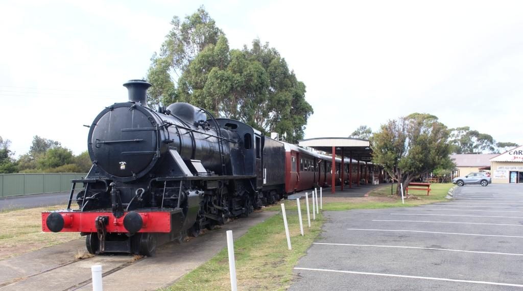
Margate Shopping Train

The top passenger train was the Tasman Limited. It operated between Hobart and Launceston but operations were stopped in 1978. Some enterprising people bought a complete train and set it up at the suburb of Margate, south of Hobart, as a boutique shopping centre. Original carriages have been set up as specialty shops, facing onto a covered platform.
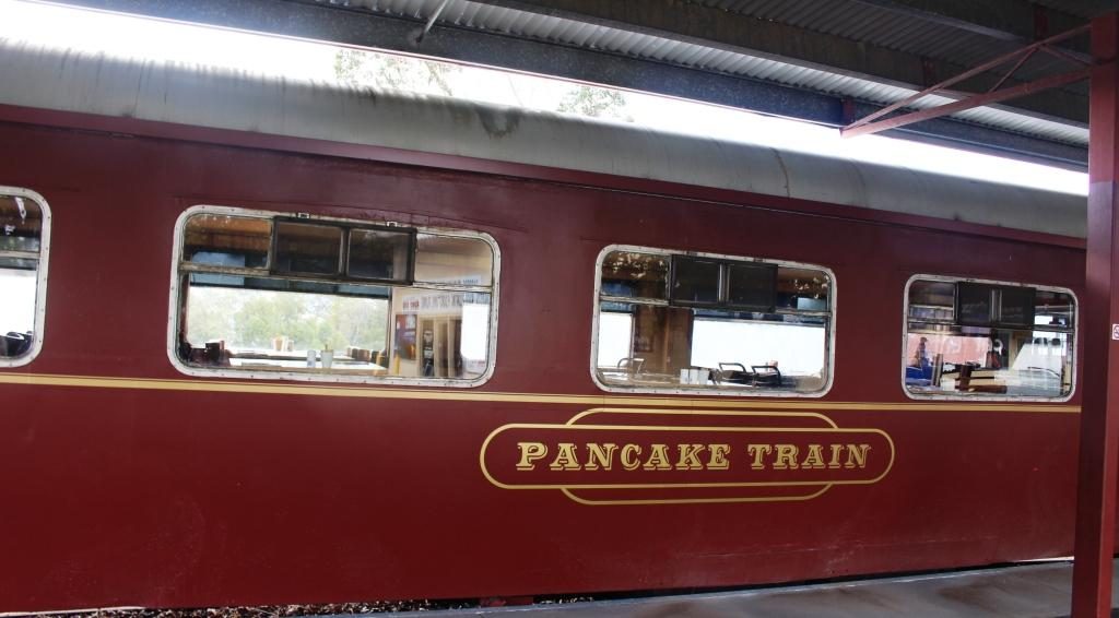
Typical fitted speciality carriage

But the scheme seems to be running out of steam. Some shops were signed to open at 8.30 am but at almost 9 o’clock no one had turned up to open up anything. There were no signs saying that it was closed but I think perhaps that particular train is experiencing its second obsolescence.
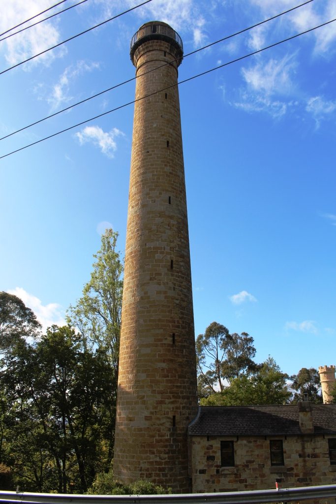
The Shot Tower

We drove on to the Shot Tower in the southern suburb of Taroona. Built in 1870 to manufacture lead shot for fire arms, it stands beside the main road, to the south. It is 58 metres high and was the tallest structure in Tasmania for 100 years.

Molten lead was carried to the top of the tower and dropped through a copper sieve. Surface tension shaped the lead particles into small balls as they fell, to be caught in a water filled cooling tank on the shot tower floor.
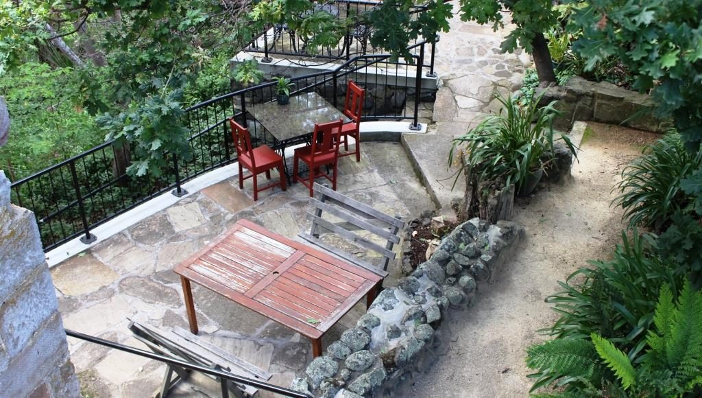
Outdoor section of the cafe

To get to the top 318 wooden steps had to be climbed. The stairway is there to this day. Visitors may climb them for a small fee for the experience and for the fine view of the lower Derwent.

We had a pleasant chat with the lady who runs the shop and with the wife of a man who was climbing it. Upon his decent he showed us his videos. The view is certainly grand. The Shot Tower has a shop that sells souvenirs as well as a coffee shop in its basement.
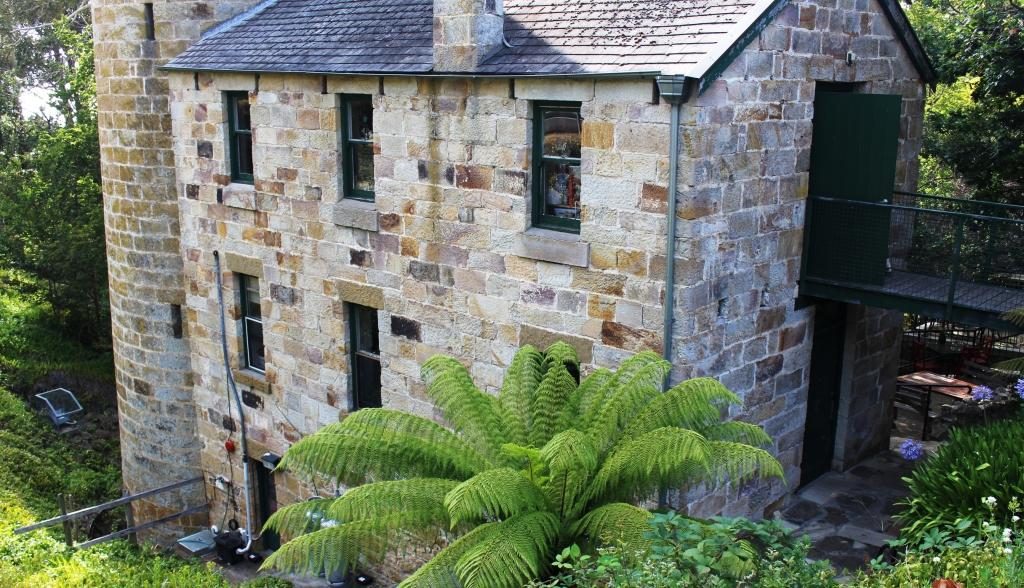
Shot tower building including the base of the tower

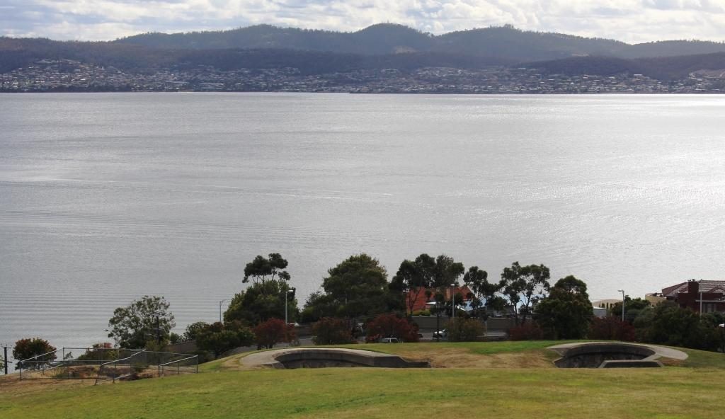
At the recommendation of the lady in the shop, as we drove on to Richmond, we detoured to the sight of the Alexandra Battery near Wrest Point Casino. It provided excellent views without needing to climb over 300 steps. Alexandra Battery was one of the many built around the Australian coast during the late 1800s when it was feared that the Russians would invade Australia’s east coast.
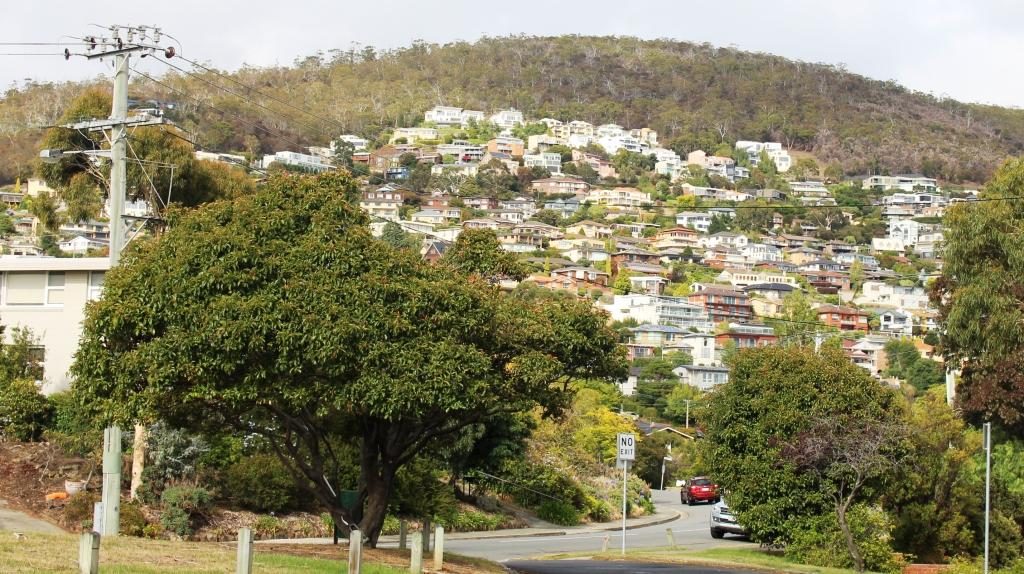
Houses on the hillside above the old Alexandra Battery site.
The old gun foundations and the Derwent.
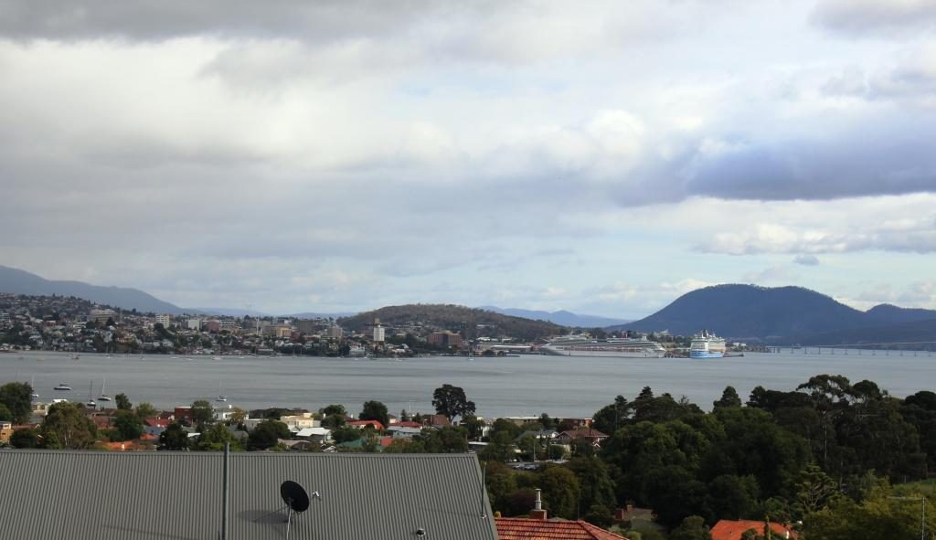
An observation deck at the old battery site provides good views of the port, river and city.

We then passed through Hobart, crossed the Tasman Bridge and made our way by an indirect route to Richmond, where we spent the night. It was on this drive that we came upon the little town of Campania to the north of Richmond, where we had lunch. The fare was home made pies and coffee, which we dealt with seated at a small table in the grocery/hardware/post office/coffee shop/service station.
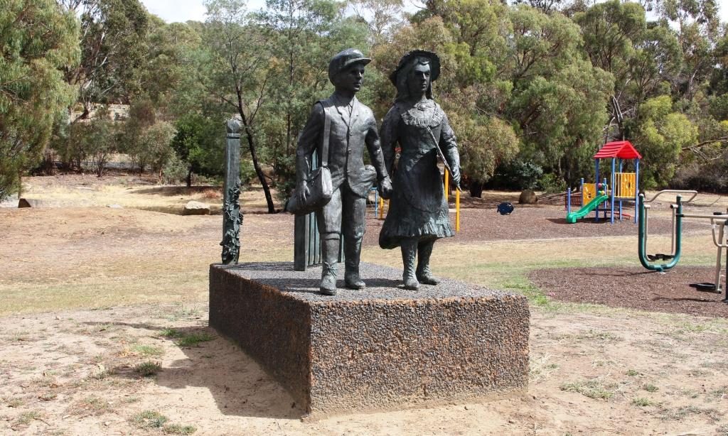
A bronze casting of school children at the original state school at Campania near Richmond.

Our drive took us through areas of vineyards and fruit orchards, interspersed by broad areas of brown dead grass. The drought is about four years old in this part of Tasmania, but irrigation keeps the fruit and grapes growing. Some growers were busy placing white netting over their crops. I assume that the fruit was starting to ripen and birds needed to be kept at bay.
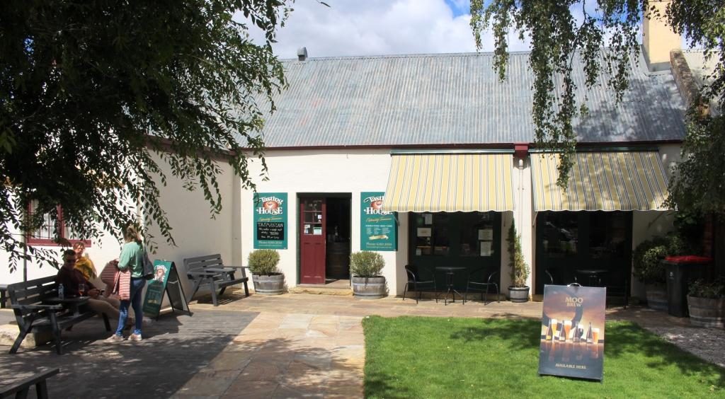
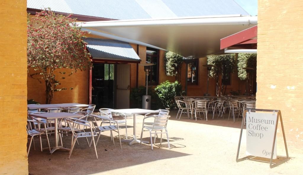
Prison precinct coffee shop at Richmond

Had we come directly to Richmond we would have found plenty of places to have lunch. Historic buildings can be readily converted to purveyors of food and beverage.
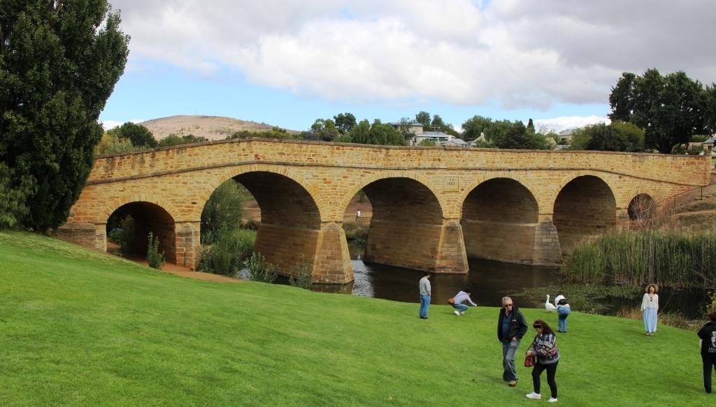
A classic photo of Richmond Bridge.
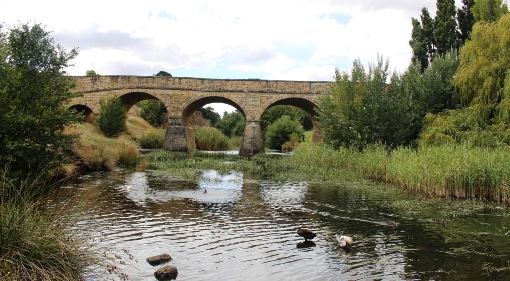
Richmond Bridge viewed from the other side at river level.
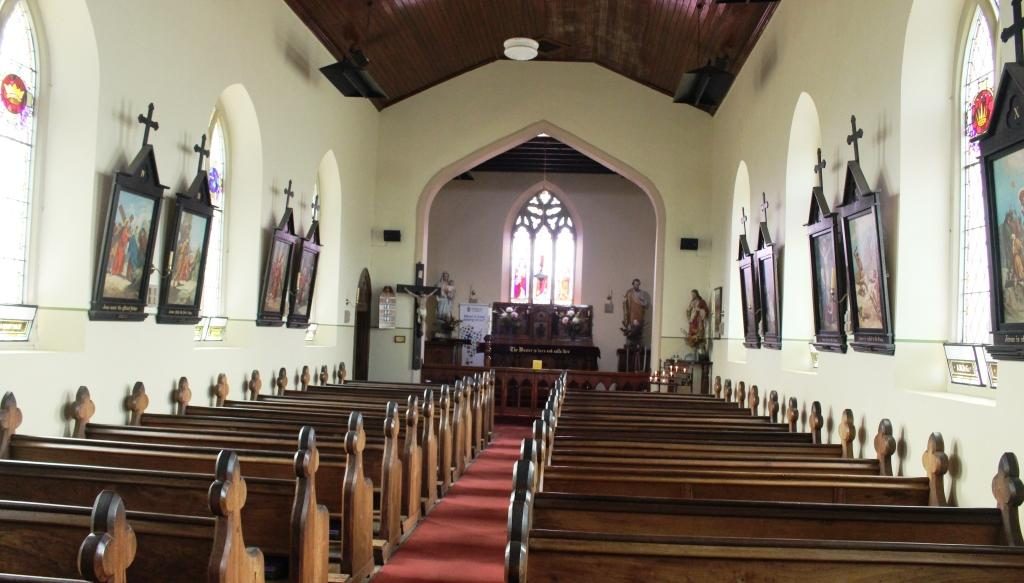
St Johns Roman Catholic Church at Richmond.

We took a look at Richmond’s historic bridge and walked, as well as drove, over it. We then looked in at St Johns Catholic Church (1836), just a short drive away, followed by a walk around the Richmond prison precinct.
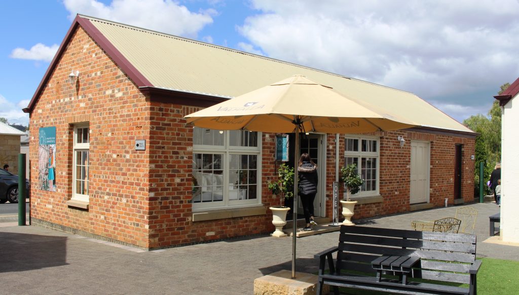
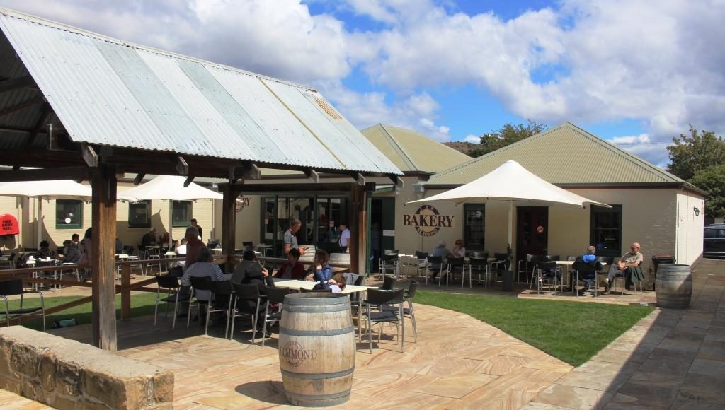
An old building in the Richmond prison precinct converted to a retail outlet.
The original bakery has been modernised into an extensive Cafe and Coffee Shop.

Ruth was beginning to be walked out so we checked into our accommodation. I returned to the historic precinct on foot and walked and looked and read and took photos. St Lukes Anglican Church is through the town on the other side of the river and a bit of a walk so it marked my turning point to return to the town area.
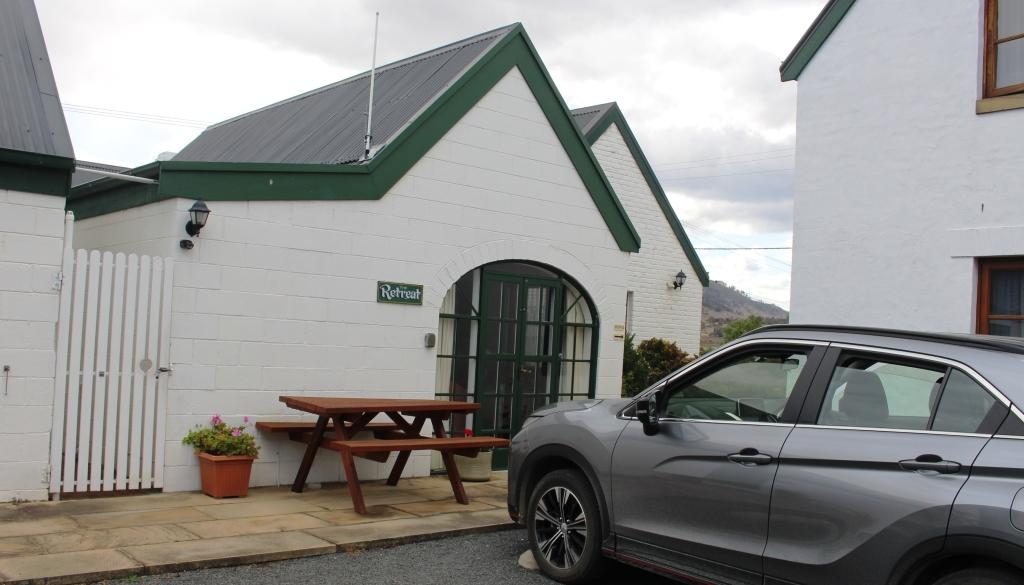
Our unit at The Barracks. It was called “The Retreat”.
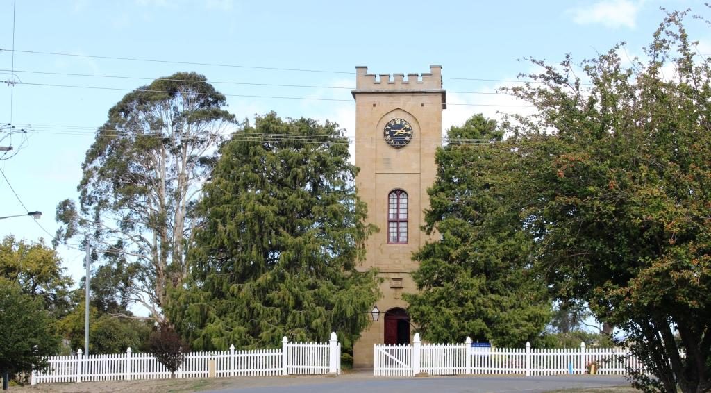
St Johns Anglican Church, Richmond was built in 1834.
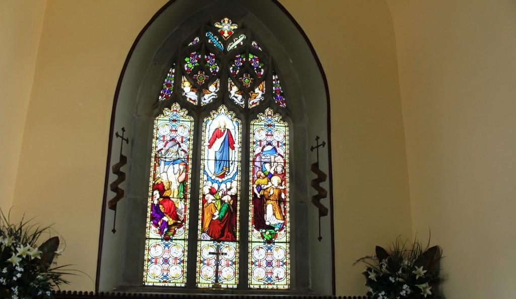
Stained glass windows at the sanctuary end if St Johns church

Richmond has a prison precinct that has been very well restored, with excellent use made of the old facilities. The prison itself remains largely unchanged and tours are available. As we were headed to Port Arthur the next day we didn’t tour the Richmond Prison. There are eating places within the prison area including a cafe in the original bakery.

By the time that I had covered this area I was walked out too, so returned to the unit to put my feet up for a while.  Our accommodation was at The Barracks, small group of holiday units resulting from the renovation of old buildings. Very comfortable and well appointed.
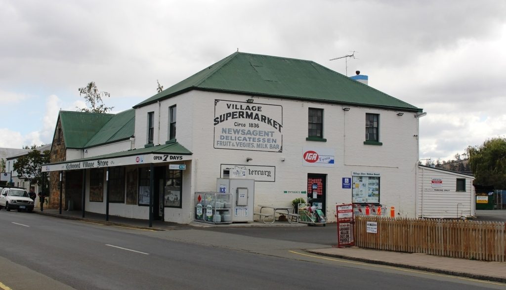
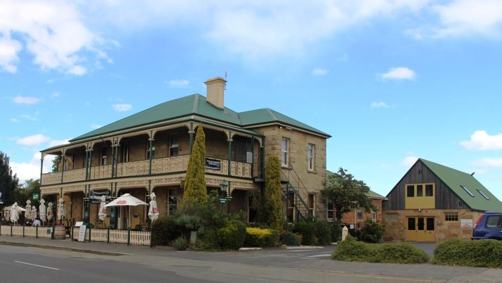
The supermarket operates from a historic site.
Richmond Arms Hotel
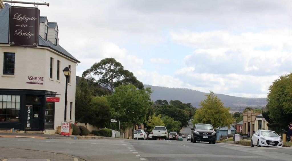
The western end of Bridge Street, Richmond.

The following morning we left Richmond for Port Arthur under clear blue skies which remained, with a few clouds around the edges, for the rest of the day.

As we neared our destination we stopped to look at some touristy things. At Dunalley we checked out the canal that provides a short cut for smaller boats between Hobart and the east coast and it’s lift bridge. It seems to open on request from the passage making boat. This channel is quite short. The land to the south is almost an island. The protruding section of land that links the Tasman Peninsula to the Tasmanian main land is called the Forestier Peninsula.
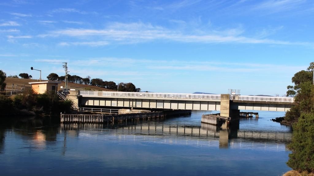
The lift bridge on the canal at Dunalley.
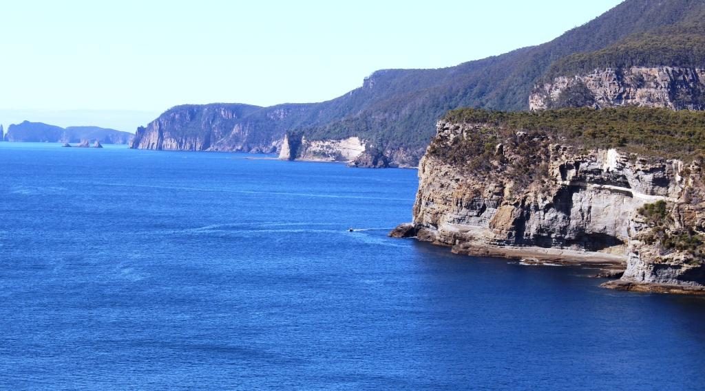
The east coast at the northern end of the Tasman Peninsula.

At Eaglehawk Neck, about 20 km further south, the same geographic phenomenon repeats, with Eaglehawk Bay, a long thin inlet from the west, almost joining the ocean at a short and narrow isthmus that leads to the Tasman Peninsula.
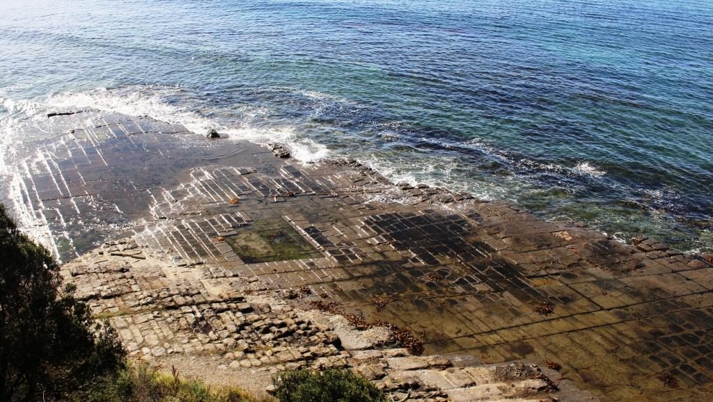
Tessellated Pavement at Eaglehawk Neck.

The Tessellated Pavement is reached from a road that turns just before the decent to Eaglehawk Neck, at the end of a drive of about 5 km. It is in the form of a broad shelf of rock that looks like an area of cobble stones.
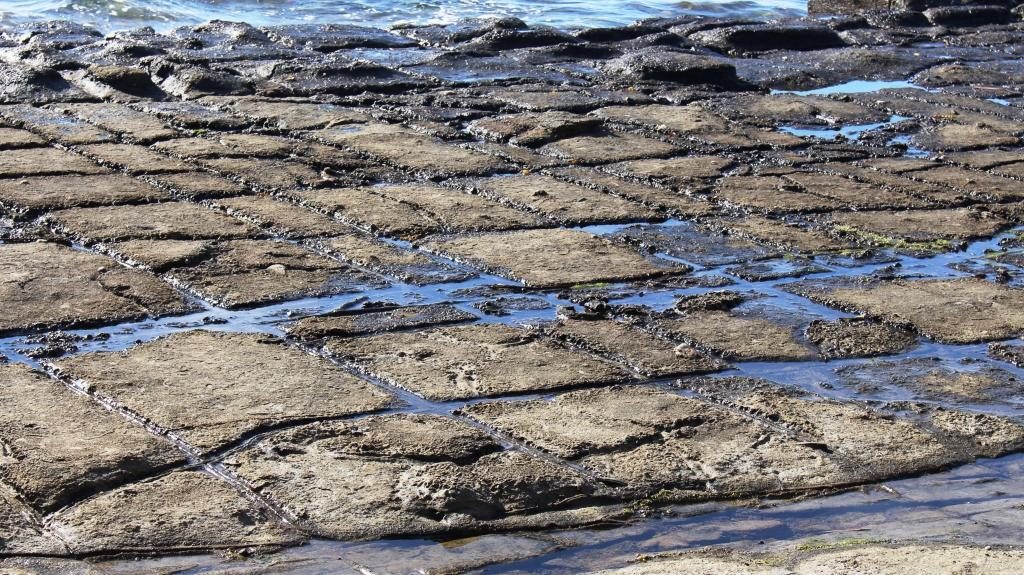
The natural Tessellated Pavement has the appearance of laid cobblestones.

Tasman Arch and the Devil’s Kitchen are reached by a road that turns to the east after crossing Eaglehawk Neck and follows the ocean coast for another 5 km. The tide was low and the sea flat calm so there was nothing cooking in that kitchen. Because of the calm seas we didn’t worry about the near by blow hole. There would have been nothing to see there.
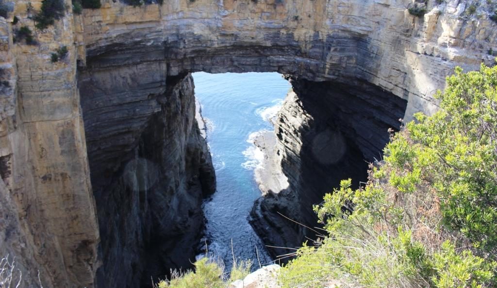
Tasman Arch from near to the car park. It is only a short walk.

Tasman Arch is best viewed from the water and that was probably how it was first discovered. The view from the land is courtesy of a sink hole that is large enough to allow a reasonable view.

The road to Port Arthur turns west along the southern shore of Eaglehawk Bay for a while and then turns inland and runs across the eastern part of the peninsula to Port Arthur.
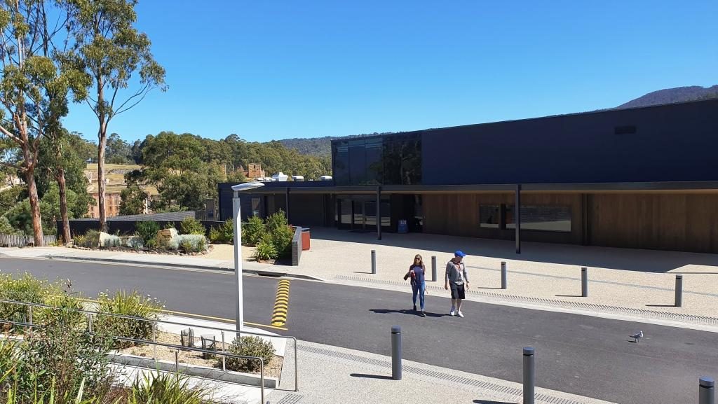
Port Arthur Visitor Centre with ruins in the background

We were last at Port Arthur about 45 years ago. The changes are significant. One of the most important is the huge visitor information centre with it’s displays, cafe, restaurant and the ability to handle large numbers of people. Port Arthur is a very popular attraction and included on most package tours to Tasmania’s south.
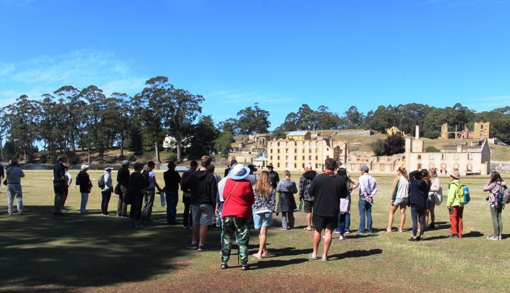
Our group listening to the guide.
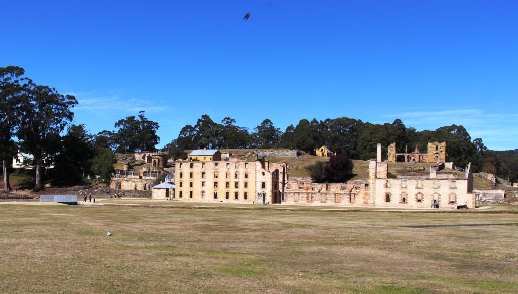
The Penitentiary. The hospital can be seen behind at the right. The Commandant’s house is at the left with the Guard Tower between it and the Penitentiary.

Forty five years ago the portion of the convict prison open to the public was much smaller than it is today. The admission ticket ($32.00 each for seniors) allows two days to see it all. An historical enthusiast would easily spend that much time if they stopped to read all the signs and study the exhibits.  We had but one day and ageing legs. We covered the main penitentiary building and the area furthest from the water, where the separate prison and the asylum are located. We then joined a cruise on Mason Cove and the port of Port Arthur. The cruise is included in the ticketed cost.

The cruise passes the old ship construction slipways, the site of the now nonexistent boys’ prison and the Island of the Dead, the penitentiary cemetery. Visitors may land on the island and be picked up by the next tour boat. We stayed on board and completed the tour before going back to the visitor centre for lunch.
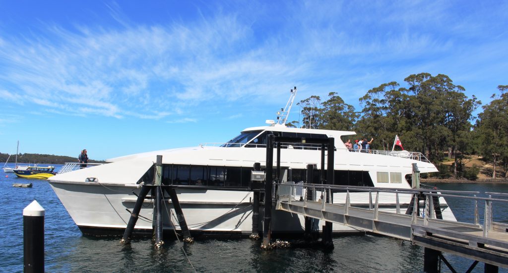
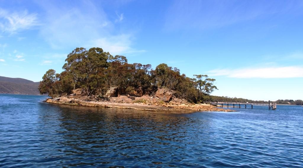
The Island of the Dead cruise boat. The short tour is included in the admission price.
The Island of the Dead, Port Arthur cemetery.

Tour guides tend to emphasise the cruelty to which inmates were subjected, but it happened over 150 years ago and was not abnormal for those times. The intention was to rehabilitate as well as punish. During the life of Port Arthur as a convict settlement, methods changed when existing practices were found not to be working. Unfortunately they were often replaced by something else that didn’t work. Rehabilitation of errant humans is not easy. Western society still has not got it right if re offending rates are any indication.
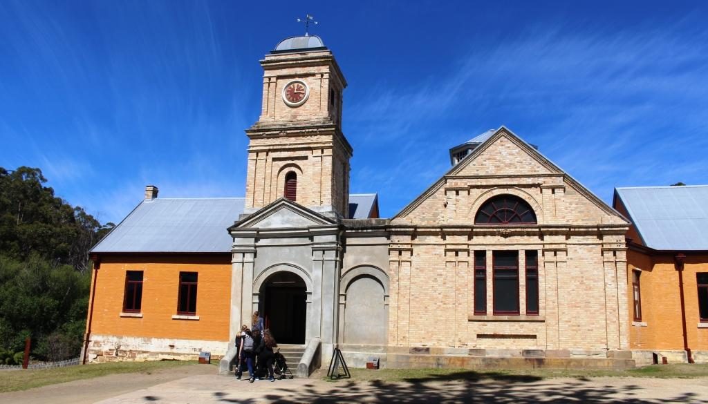
The Asylum was built in 1868 when it was found that incarceration methods were sending prisoners mad..
The cafe at the Asylum provides an alternative to the walk back to the visitor centre for refreshment.
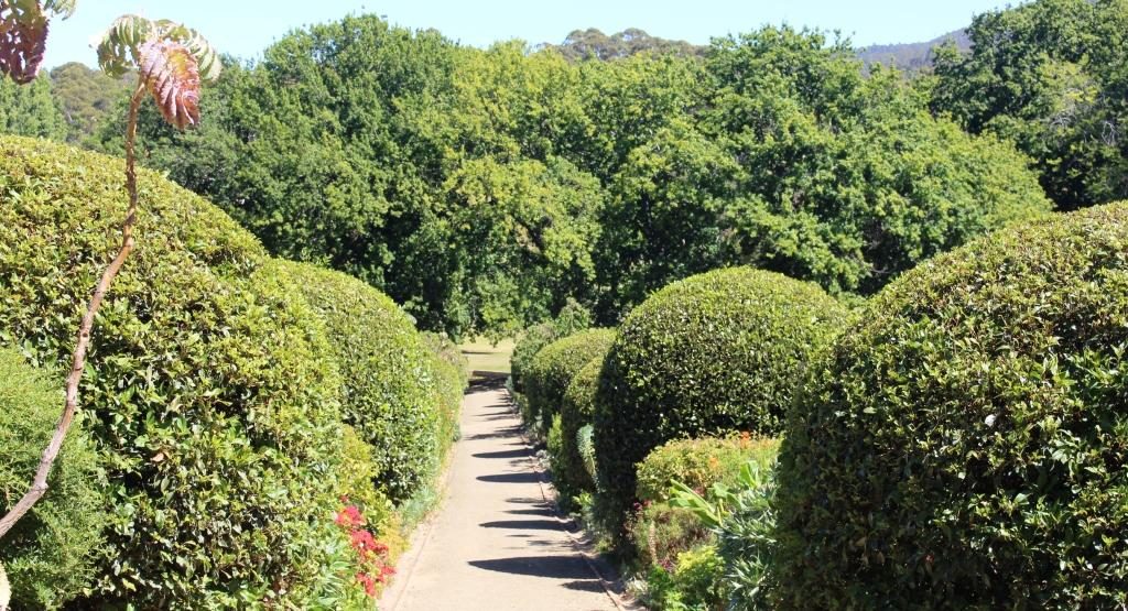
The Government Gardens
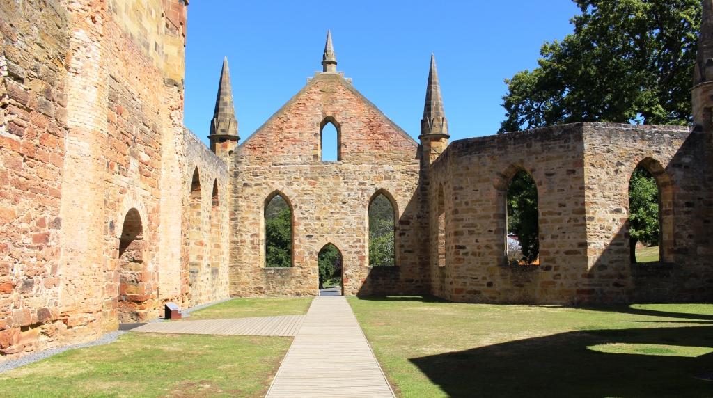
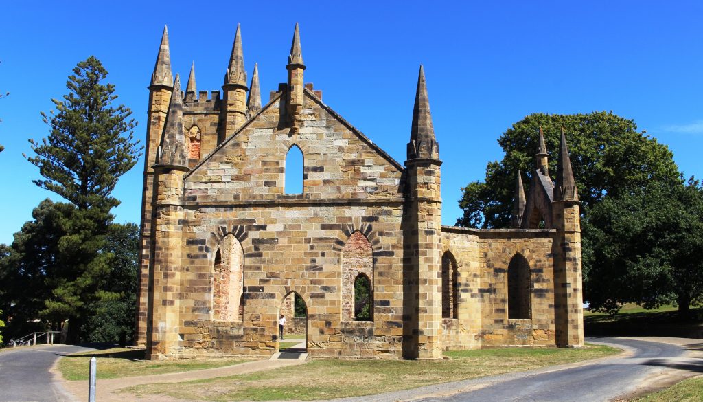
The church at Port Arthur demonstrates the important part that religion played in the reform of prisoners.
Up to 1,100 people would attend church on a normal Sunday.

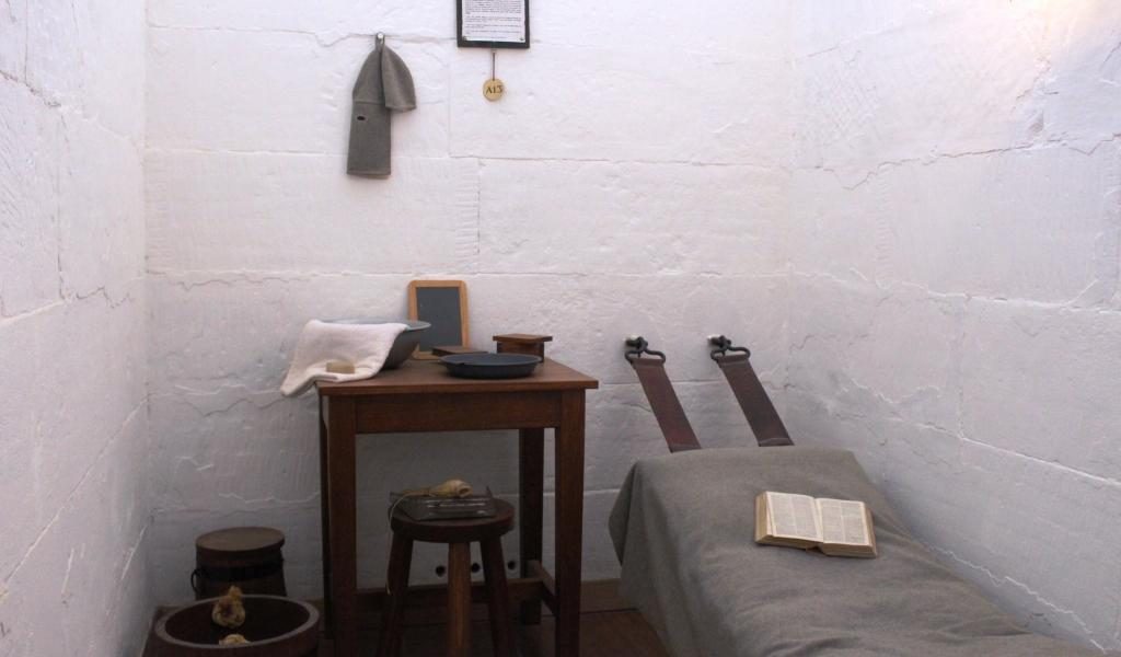
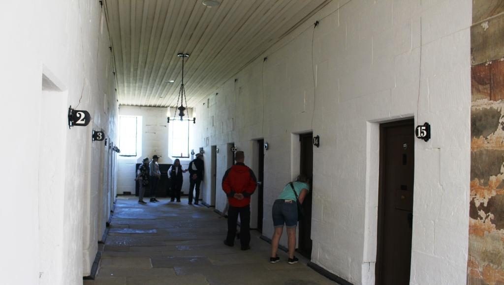
Ruth was done with walking so stayed at the visitor centre while I went back to walk through some other areas. I did the garden and the government cottages, the ruins of the church and had a closer look at the Separate Prison (where prisoners were known by a number and lived in solitary confinement), and the Asylum (needed for all the prisoners who went mad from solitary confinement).
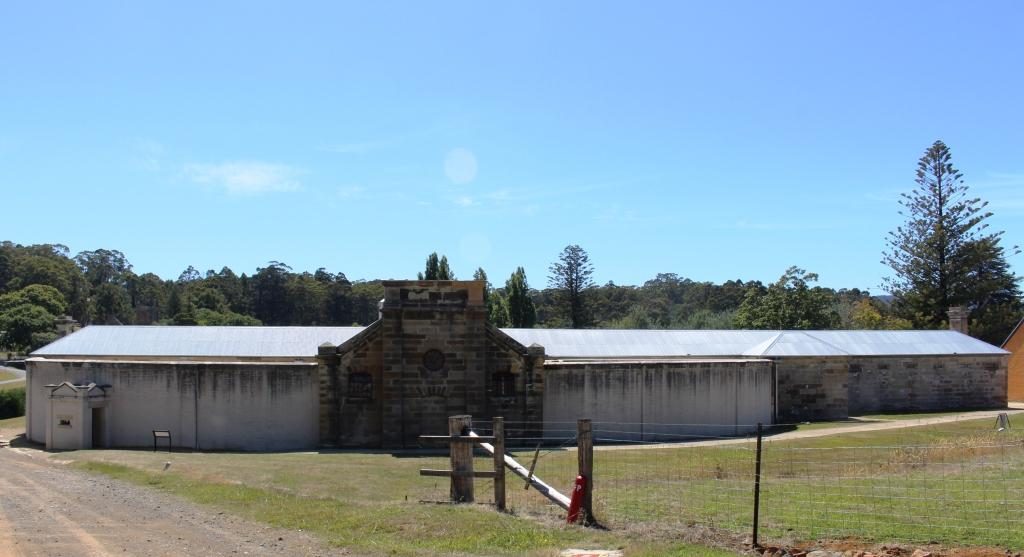
The front of the Separate Prison faces away from the remainder of the convict area at Port Arthur.
A prison cell wing of the Separate Prison.
A typical cell for one prisoner.
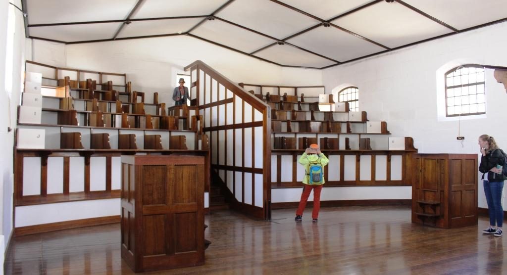
Seating in the chapel was designed to keep prisoners separated during worship.

I then climbed through the ruins of the hospital, the guard tower and military accommodation areas, the commandant’s house and finally a detailed walk through the penitentiary. Quite a bit of walking.
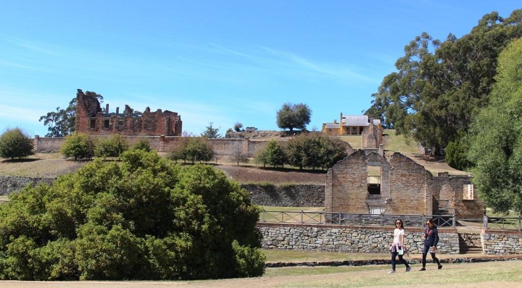
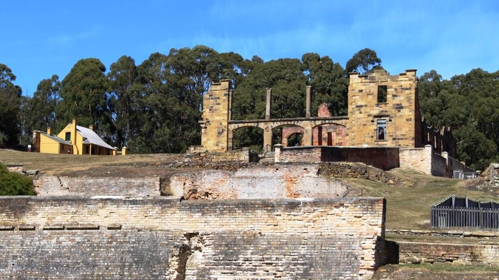
The police station with the hospital in the background to the left.
A front view of the hospital, built in 1842. The house at the back is Smith O’Brien’s cottage. O’Brien was an Irish political prisoner who had been transported for life.

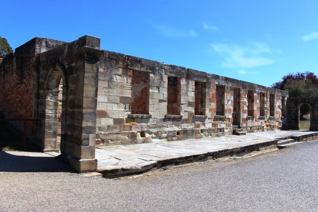
Ruins of the guard tower and the military accommodation remain sufficiently intact to give a good idea of what was there originally. The court house is in the same vicinity, straight across the street from the penitentiary, the place from which most prisoners would be brought to appear before a magistrate and the place to which they would be returned, but possibly to a different section, depending on the sentence.
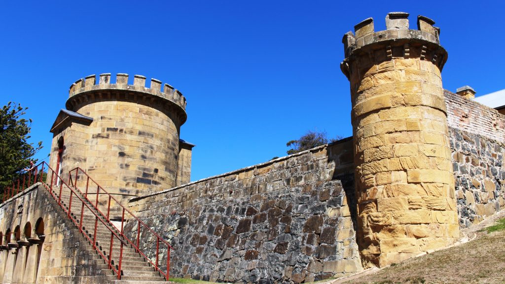
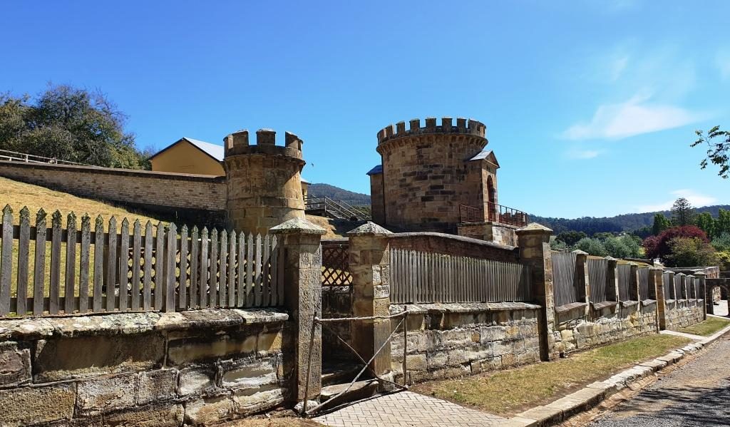
The Guard Towers
The guard towers with soldier accommodation at the rear.
The Port Arthur Court House
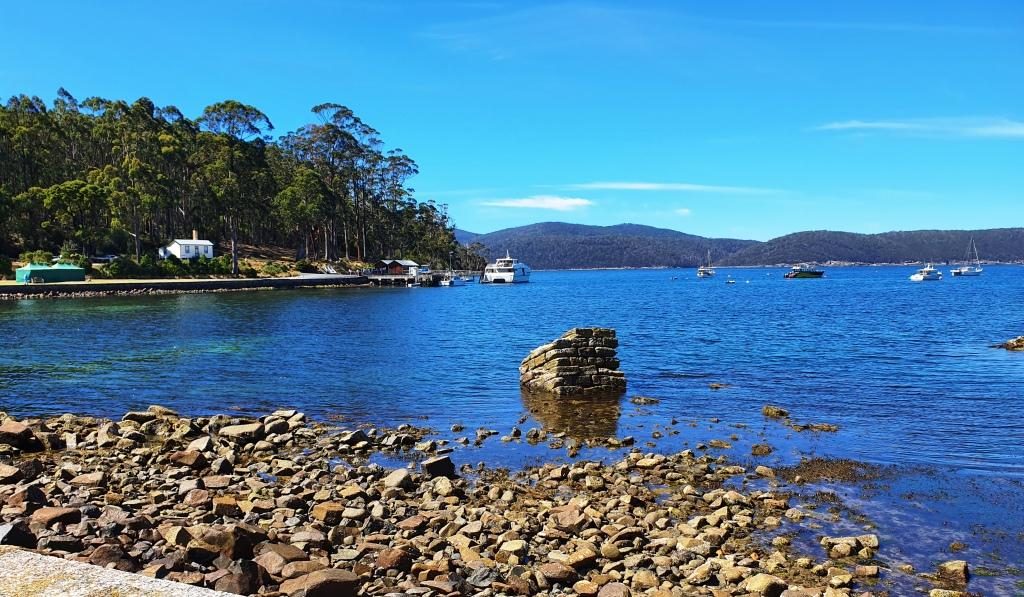
View of Mason Cove from the court house. The ship building slipways are past the cruise boat wharf.

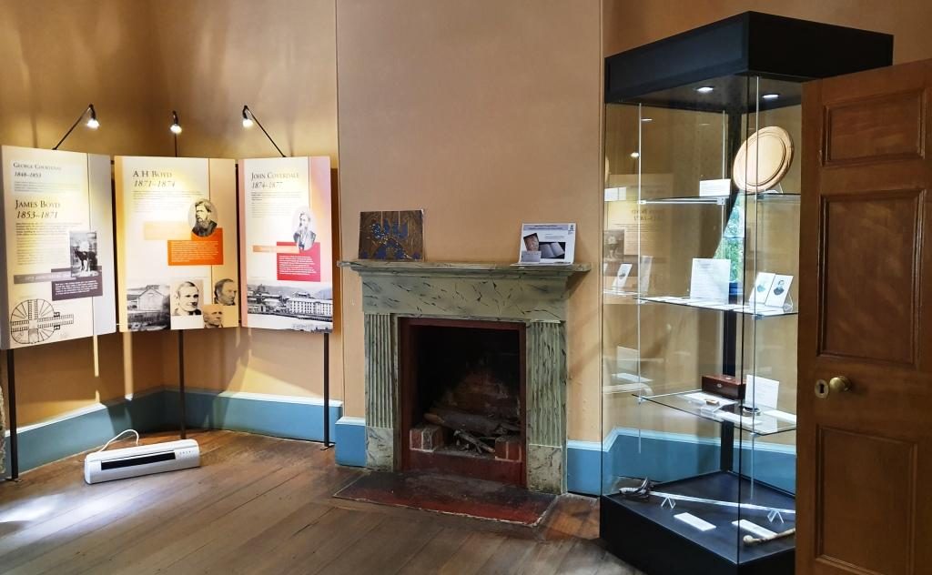
The commandant’s house contains furniture that is either original or represents the period. Many rooms are set up as they would have been when occupied by it’s residents. Other rooms contain displays, rather like a museum. There is a display of information signs providing details of commandants, governors and other figures of authority.
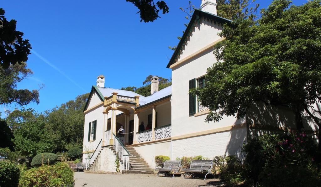
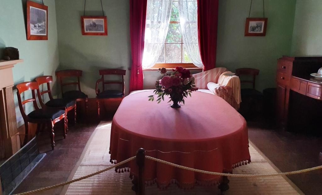
Entry to the Commandant’s house
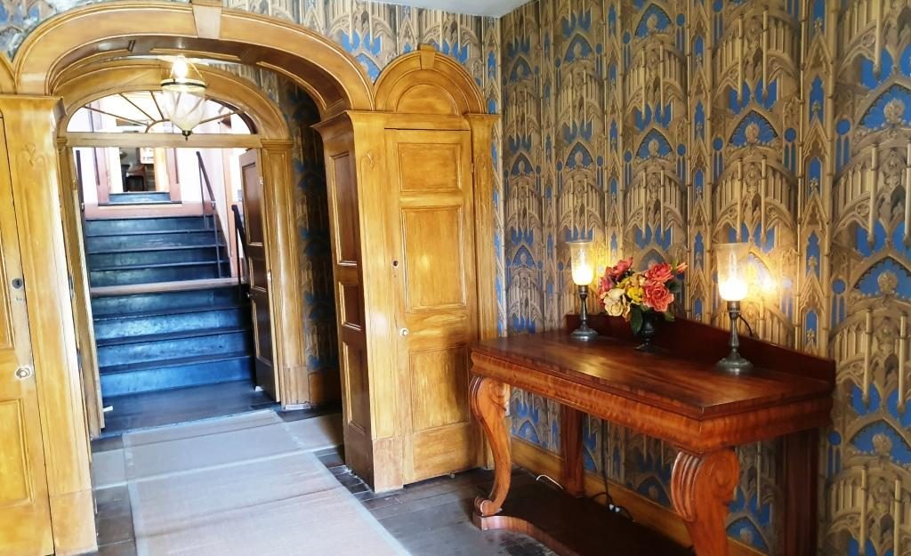
The formal dining room
History and information displays in one of the formal rooms.
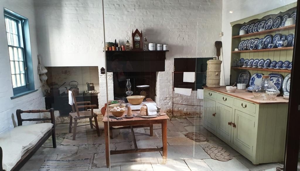
The kitchen
The house steps up the hill. This is the stair way to the second level.
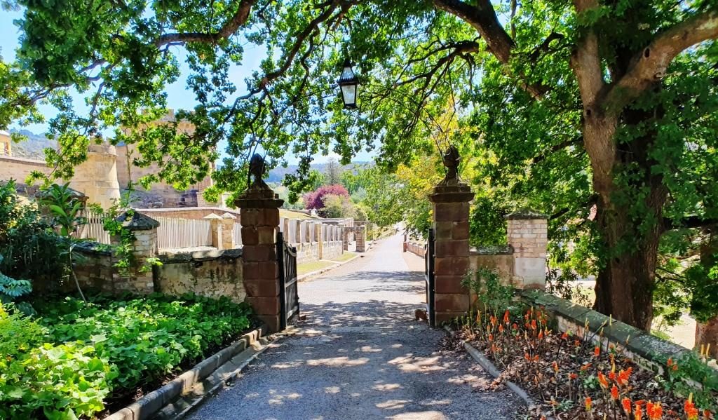
Departing through the access gate from the grounds to the commandant’s house.

The penitentiary was built in 1845 as a flour mill and granary, with the flour mill powered by water wheels, or prisoner operated tread mills, when water flow was insufficient. To be assigned to the tread mill was one of the most harsh punishments available. You can just about imagine the convicts praying for rain.
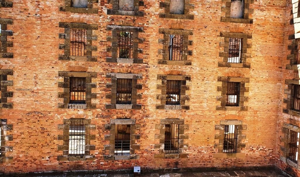
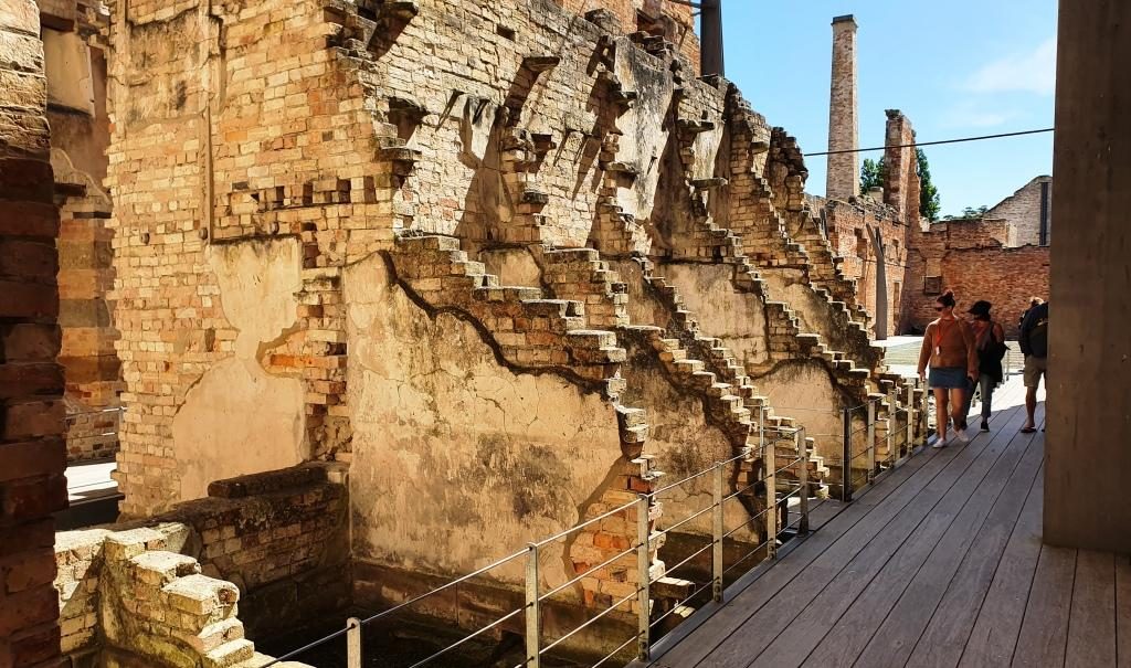
Barred windows of the penitentiary cell block
Partly demolished walls.

Competing demands for resources saw the flour mill closed in 1854. The building was converted to convict accommodation, completed in 1857. It was closed in 1877 and largely destroyed by fire in 1897. The ironwork that secures the outer walls that still stand is obvious and necessary.
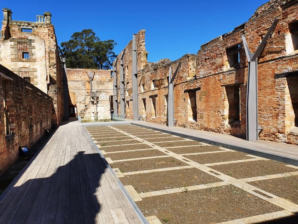
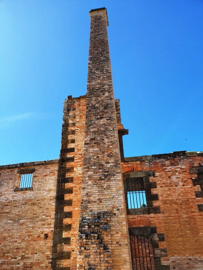
The fire gutted cell block showing the lay out of the cells. The walls are supported by steel reinforcing.
The prison chimney.

When you pay your entrance fee you are each given a card bearing the name and likeness of a person who was at Port Arthur. You then go downstairs to the gallery, find the likeness on a wall and pull out a panel to read the detail.
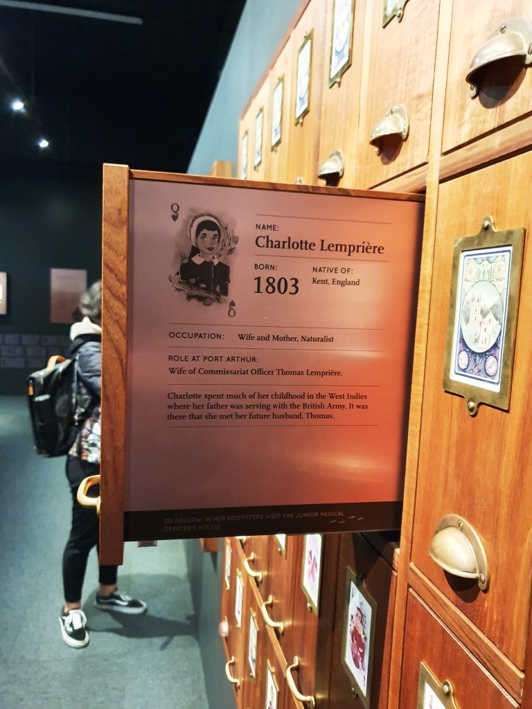
A slide out display exists for each person who was permanently at the convict prison. This is the wife of the accountant who’s name that I chose. His details are on the other side.

The character that I received was the accountant at the prison. Ruth got a character who, in England, lost his pension, threw a stone at the King, was charged with treason and transported. At Port Arthur he refused to do the King’s work or eat the King’s food so starved to death. As I walked I took particular notice of the accountant’s house.
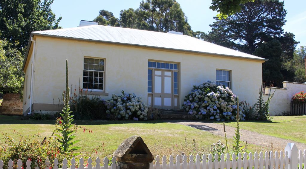
The accountant’s house.

We were booked for the night at a place part way up the East Coast called Little Swanport. If I had realised how close we would be to Richmond on the drive we would have booked there for two nights. We wish we had done so.

We had done well with our accommodation arrangements so far but bombed out that night. The place was clean, tidy and comfortable, but inadequate. Windsong described itself as a B & B, but it was 5 km off the highway. The turn is near the community hall that calls itself Little Swanport and 15 km from the nearest source of nourishment. The host, Tom, who checked us in and told us to call if we needed anything had disappeared when I went to look for him to see if we could arrange an evening meal.

The table is set for a three course dinner, including wine glasses, but no stove or microwave to cook with or sink in which to wash our dishes and no tea towel to dry them. We had bread and food to make sandwiches, even a toaster, so we didn’t go hungry. But it did seem a bit odd. A continental breakfast was in the room for next morning.
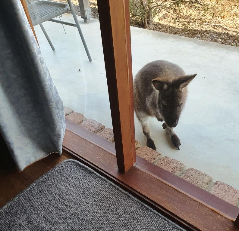
A morning visitor at Windsong at Little Swanport.
https://youtu.be/6OQN6yXM7S8
https://youtu.be/BINs0BkcRw0

Wandering Nomads & Military Museums

During the four days spent in Mount Isa we had discussed our route to reach home. The idea of going south seemed attractive until the weather forecast suggested rain just at the time when we would have been in unsealed road territory. Morning temperatures were looking a bit low further south, so staying north was an easy decision.

Our path crossed that of explorers Burke & Wills on their journey across the country

Our path crossed that of explorers Burke & Wills on their journey across the country

The obvious choice was to travel east. Townsville is about one thousand kilometres east of Mount Isa. We did the distance in three easy days, with overnight stops at Richmond and Charters Towers. This was the first time we had covered the full length of the Flinders Highway in one journey, although we had travelled most of it at different times. The only town that we had not previously visited was Julia Creek.

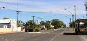
It was Sunday morning and the town was surprisingly active. Two supermarkets were open and several caravans were parked in the main street. There was a queue for service at the roadhouse when we bought fuel.

Part of the main street of Julia Creek

Part of the main street of Julia Creek

Caravans and motor homes are everywhere at this time of year. Towns like Julia Creek are awake to the tourist potential and are taking action to encourage travelers to stay a while. Gray nomads are a responsive target market. Not all are doing “the big lap” and those that are aren’t always in a hurry. Many from Victoria, South Australia and the southern regions of New South Wales are simply looking for a place in the sun.

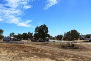
Self contained RVs in residence by the waterhole near Julia Creek

Self contained RVs in residence by the waterhole near Julia Creek

Just past Julia Creek, by what appears to be a permanent waterhole, the council has planted an extensive grove of trees, which are thriving on irrigation. We nearly bogged when we drove between them to find shade for a lunch time stop. There is an extensive camping area where there is no charge for staying, but a camp host is proved to maintain order. No other facilities are provided so the area is most suitable for fully self contained vans, but there are plenty of those on the road. There were about 30 vans and motor homes set up there with more arriving as we lunched.

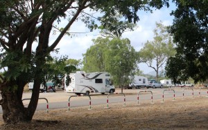
Free camping RVs at Reid River rest stop by the Flinders Highway

Free camping RVs at Reid River rest stop by the Flinders Highway

This was only one example of modern gypsy camps. On our way out from Lawn Hill we crossed the Gregory River at Gregory Downs. The river banks are high and the bridge is above flood level. It provided a great view of what can best be described as a caravan village. Gregory Downs is serious distance from anywhere but it is the nearest free camp to the end of the sealed road so the conventional vans and motor homes stop there for a day or three to do a day or overnight trip to Lawn Hill National Park and Adel’s Grove, or just spend the time watching the river flow by. There are a lot worse things to spend your time doing!

Travelling east, the Flinders Highway starts at Cloncurry and its surface is a bumpy old affair. Not a very good tribute to the great explorer in whose memory it is named, I thought, “There needs to be a concerted effort to bring the highway up to a better standard”. As they say, you need to be carefully of what you wish for. Not too far along we came to the first of many automated red lights. You know the type? A two wheeled device with solar panels, an antenna and a closed circuit camera? One side of the road was closed and the traffic from each direction had to take turns using the remaining side while work progressed on the closed side. For the remainder of that day and the next we encountered over twenty of them, often six or more in quick succession and most at least a kilometre long. They totally blew my ETA at the next caravan park out of the water.

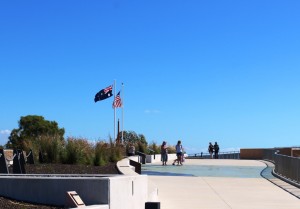
The memorial atop the historic Kissing Point Artillery Battery

The memorial atop the historic Kissing Point Artillery Battery

The sun was shining in Townsville and we rediscovered humidity. But a pleasant breeze was blowing. We spent the remainder of arrival day on camp duties. But we had come to Townsville, in part, on a mission.
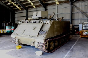
Ron, our next door neighbor is a Vietnam veteran. He was an Armored Personnel Carrier (APC) driver and part of the first Australian force to be deployed there. Ron was injured in action in Vietnam and has recently suffered a stroke. He has lost a great deal of his mobility but none of his fighting spirit.

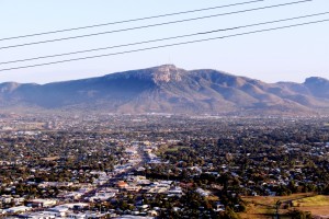
Laravack Barracks covers a large area at the foot of Townsville's Mount Stuart.

Laravack Barracks covers a large area at the foot of Townsville’s Mount Stuart.

At a Christmas function at our units last year he told me that his old APC was now at Lavarack Barracks at Townsville and was available for viewing to the general public. I decided then that I would like to see it. Our changed plans would take us through Townsville so here was the opportunity.

Ron's Armored Personnel Carrier

Ron’s Armored Personnel Carrier

We started our search at the gate house at Lavarack Barracks but no one there knew about it so they referred us to the military museum at the northern end of The Strand, that ocean side boulevard that runs

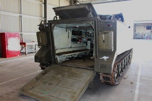
APC with rear ramp down ready to load troops

APC with rear ramp down ready to load troops

north from the CBD and gives such magnificent views of Magnetic Island. It was here that we struck pay dirt. This museum is worth a look in its own right. It covers from the period from the Boer War to modern engagements such as Afghanistan, but mainly from the perspective of Townsville as a garrison city. The restored Kissing Point Fortress is right next door.

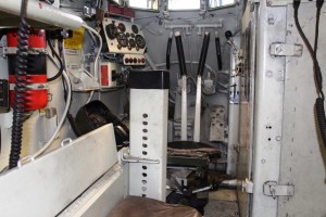
APC drivers position and steering levers

APC drivers position and steering levers

The very helpful volunteers at this museum gave us a name and mobile number for a the curator of a museum for the armored regiment that is within the confines of Lavarack Barracks. Soon we had an appointment with WO2 Rocky Hema who signed us in and took us to the museum area where equipment with historic significance is stored. There we found Ron’s APC. It was opened up for us so we were able to climb inside and have a real good look.

I asked Warrant Officer Hema why this particular APC had been preserved. He told us that it had carried the officer in charge of the convoy and that with different crew had played an important role at the battle of Long Tan. He then took us to see the more conventional part of the museum where we saw a photograph of a young and handsome Ron Jose.

Part of the military museum complex at the northern end of Townsville's Strand.

Part of the military museum complex Jezzine Barracks on Townsville’s Strand.

This regimental museum will only be at Lavarack Barracks for another two years, after which it will be moved to a new permanent home at Puckapunyal, near Seymour in Victoria, a place familiar to me from my brief encounter with National service Training over 50 years ago. We took photos of Ron’s APC and sent one off to him attached to a text message. The rest we will pass on when we arrive home.

A Short Northern Safari – The Dinosaur Triangle


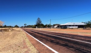
The road to Hughenden through Homestead

The road to Hughenden through Homestead

There were things to see in Charters Towers but we treated it as an overnight stop. For time reasons we departed the next morning for Hughenden. The road, again, lead through grazing country, with cattle in evidence from time to time. We passed through the small towns of Homestead, Pentland, Torrens Creek and Prairie. At least some of these towns owe their existence to the original cattle station of which they were part. Their common feature is that they all have a pub.

THere are a lot of cattle stations down this road.

There are a lot of cattle stations down this road.

Hughenden is the administrative centre of the Flinders Shire and is on the Flinders River which runs into the Gulf of Carpentaria. About 100 km east of Hughenden we had passed a sign informing us that we had entered the Lake Eyre catchment but must have passed out of it a bit further on.

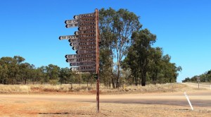
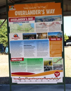
Local councils put a great deal of effort into informative roadside material

Local councils put a great deal of effort into informative roadside material

Hughenden is one corner of the Dinosaur Triangle but is also the main stepping off point for Porcupine Gorge National Park.

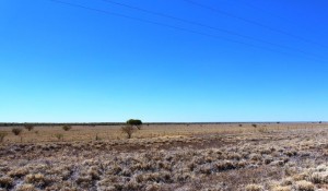
Flat terrain near Richmond

Flat terrain near Richmond

We had planned to spend one night at Hughenden and then a night at Porcupine Gorge but the caravan sites at the camping area were all booked. As there were vacancies the next night we stayed in Hughenden for two nights and took a day trip to Richmond, the second corner of the Dinosaur Triangle, during the intervening day.

The Dinosaurs of Hughenden and Richmond


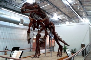
The land based dinosaur at Hughenden

The land based dinosaur at Hughenden


The Flinders Discovery Centre at Hughenden dispenses visitor information but also houses the dinosaur museum. The establishment is not large but contains a large dinosaur replica made of parts cast from genuine fossilised bones of real dinosaurs. It dominates the building and is supported by displays of information about dinosaurs. The skeleton is made substantially from fossils found around Hughenden but has been supplemented by parts of Muttaburrasaurus, a dinosaur found at nearby Muttaburra.

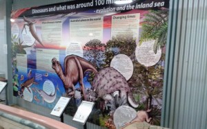
Part of the display at Hughenden

Part of the display at Hughenden

Dinosaur fossils were first found in the area in 1867, with finds increasing in recent years as interest has grown and governments have allocated more money to research. The dinosaurs on display at Hughenden are land dwelling but at Richmond many marine creatures have been found. The display at Kronosauraus Korner, as the museum at Richmond is named, is based on marine finds. Way back, we are told, this area was at the edge of a huge inland sea.

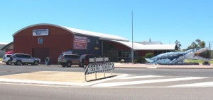
Kronosauras Korner at Richmond

Kronosauras Korner at Richmond

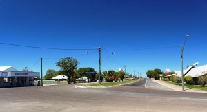
The main street of Richmond

The main street of Richmond

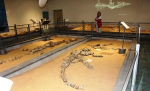
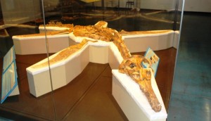
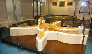
The Richmond Facility is world class. I think it is quite remarkable for a small town like Richmond that has only about 550 residents.  The Pliasaur is undoubtedly the main attraction. It is one of the most complete dinosaur skeletons found anywhere in the World and is magnificently displayed in a gallery named for the station owner who found it on his Marathon Station.

Display at Richmond - note the light show on the wall

Display at Richmond – note the light show on the wall

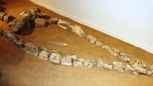
Fossilised Bones of Didosaur Head

Fossilised Bones of Didosaur Head

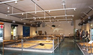
A general view of the Richmond display

A general view of the Richmond display

Dinosaurs are a huge subject so I am not about to try to cover scientific detail here. Suffice to say that the whole subject is well and truly covered in the displays in both towns and is a major tourist attraction. I will allow my photographs to demonstrate.

The pride of Richmond museum - the Pliosaur

The pride of Richmond museum – the Pliosaur

Another view of the Pliosaur

Another view of the Pliosaur


The council operated caravan park was close to full both nights that we stayed there and was well set out and well managed, with modern and well kept amenities. The standard of such infrastructure is indicative of the effort that councils put into maximising the value of the tourist dollar for their rate payers and residents.

Porcupine Gorge  

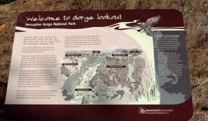
Sign at thr gorge lookout

Sign at the Gorge Lookout

The gorge, well known to wandering grey nomads, is at the end on about 75 km of sealed road. The road is part of the Kennedy Developmental Road that starts at Winton and goes north. It ultimately becomes the Kennedy Highway that leads via the Atherton Tableland to Cairns. A gravel surface starts after Porcupine Gorge but the sealed surface returns further north.

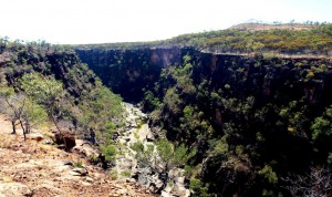
Gorge at the lookout

Gorge at the lookout

We arrived at the Gorge just before lunch. By this point in our travels the weather had warmed some and temperatures that day were reaching towards the mid 30s so I was keen to do my planned gorge walk. Ruth had withdrawn from the event due to her knee problems. I had a quick lunch and headed off, equipped with my camera and a bottle of water.

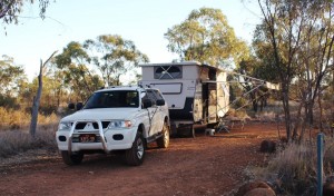
Our camp sight

Our camp sight

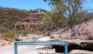
The walk to the bottom of the gorge from the camping area is about 1.2 kilometres, of which the majority is the climb down. Fortunately there was a cool breeze blowing along the gorge and it kept conditions comfortable. On the way down I met several walkers, most of them senior citizens, making their way back up. I could see by the amount of puffing that most of them were doing that the climb back up would be a bit of a challenge.

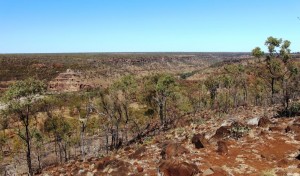
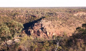
The gorge is in a flat landscape

The gorge is in a flat landscape

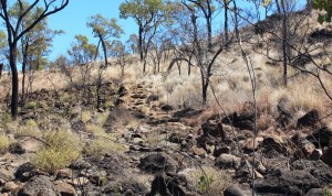
The path lead over rocky steps

The path lead over rocky steps

The gorge is a huge slash in the quite flat countryside, excavated over the millennia by the now quite modest Porcupine Creek which runs through its 15 km length and continues to run under the road in. Of course, in flood time it would be anything but modest. Because the area was an inland sea the rocks are sedimentary and relatively easily weathered. An inspection of the stone floor of much of the gorge shows clear signs of the continuing process of erosion.

Weathered rock forms the gorge floor

Weathered rock forms the gorge floor

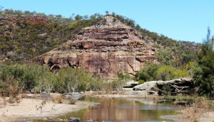
The Pyramid

The Pyramid

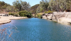
The stream runs through this part of the gorge, expanding into water holes at various points. Some of the walkers were taking advantage of the pools to take a refreshing dip but most said that the water was very cold. At the lower end of this section of the gorge a geological feature known as The Pyramid stands in the path of the stream and turns it aside to find its way around a couple of turns and on its way. The pyramid is the weathered face of a cliff, named for it’s shape.

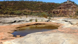
Is this a fishing or a swimming hole

Is this a fishing or a swimming hole? But the fish are protected in the National Park

Back at the top looking down

Back at the top looking down

Time to start the climb back up

Time to start the climb back up

I took my time climbing back up the incline. It is made up of dirt path with occasional steps and lengthy stairways constructed from the rocks that litter the hillside. The rangers have done a great job with access to the gorge but that doesn’t make the climb on a warm afternoon that much easier. I arrived back at the caravan more than ready for a long cold drink despite emptying my water bottle during the climb.

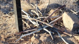
Discarded walking sticks

Discarded walking sticks

We departed next morning for Winton via Hughenden. Winton is the third corner of the Dinosaur Triangle but I will deal with that in the next blog post.