Destination Tasmania – Part 8 – Richmond & Port Arthur

21st & 22nd February 2020

Please Note: A video covering the material in tis blog post can be found at the bottom of this post.

Tasmania got rid of most of their trains many years ago. Only limited goods services remain and I am not certain that they are run by the government. But Tasmanians still seem to have an attachment to trains. You see museum and recreational railways often.
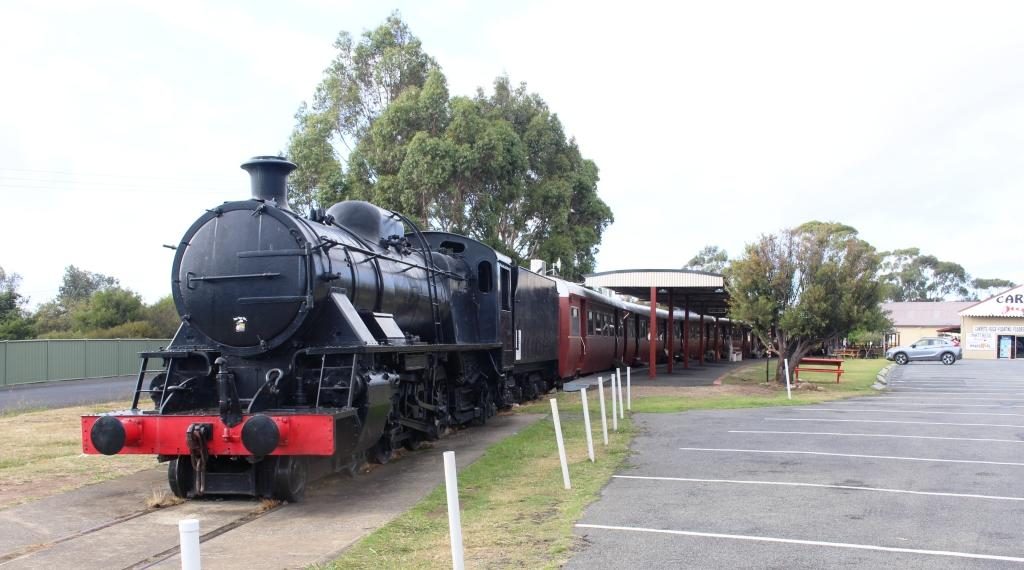
Margate Shopping Train

The top passenger train was the Tasman Limited. It operated between Hobart and Launceston but operations were stopped in 1978. Some enterprising people bought a complete train and set it up at the suburb of Margate, south of Hobart, as a boutique shopping centre. Original carriages have been set up as specialty shops, facing onto a covered platform.
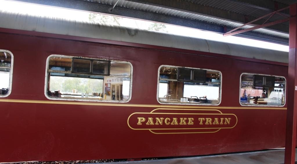
Typical fitted speciality carriage

But the scheme seems to be running out of steam. Some shops were signed to open at 8.30 am but at almost 9 o’clock no one had turned up to open up anything. There were no signs saying that it was closed but I think perhaps that particular train is experiencing its second obsolescence.
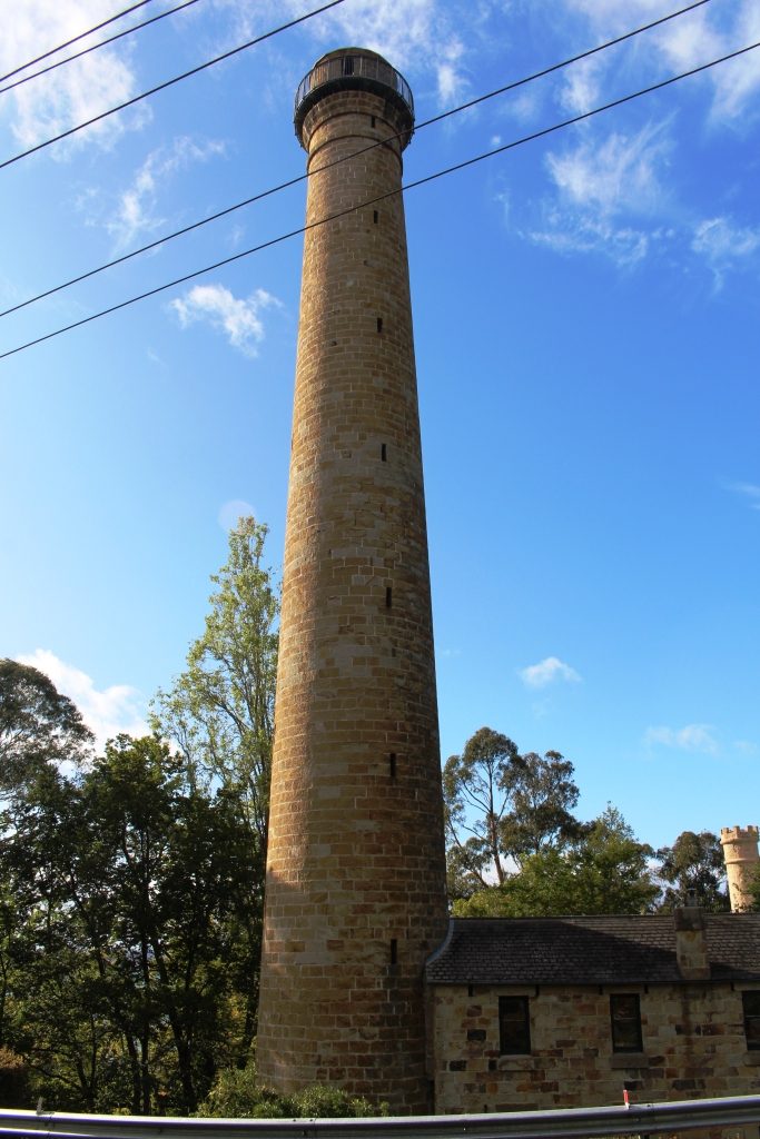
The Shot Tower

We drove on to the Shot Tower in the southern suburb of Taroona. Built in 1870 to manufacture lead shot for fire arms, it stands beside the main road, to the south. It is 58 metres high and was the tallest structure in Tasmania for 100 years.

Molten lead was carried to the top of the tower and dropped through a copper sieve. Surface tension shaped the lead particles into small balls as they fell, to be caught in a water filled cooling tank on the shot tower floor.
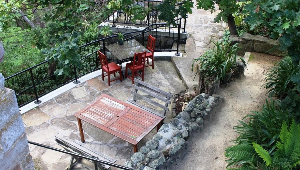
Outdoor section of the cafe

To get to the top 318 wooden steps had to be climbed. The stairway is there to this day. Visitors may climb them for a small fee for the experience and for the fine view of the lower Derwent.

We had a pleasant chat with the lady who runs the shop and with the wife of a man who was climbing it. Upon his decent he showed us his videos. The view is certainly grand. The Shot Tower has a shop that sells souvenirs as well as a coffee shop in its basement.
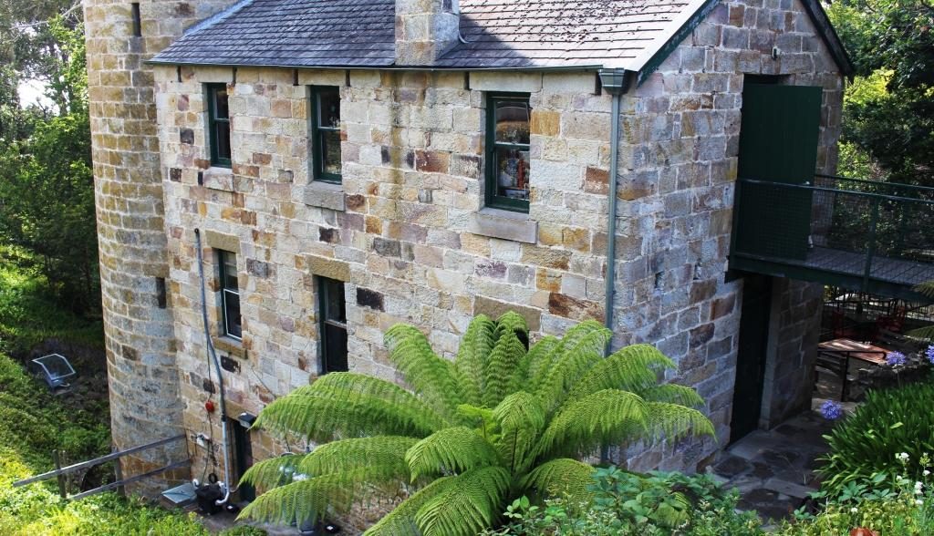
Shot tower building including the base of the tower

At the recommendation of the lady in the shop, as we drove on to Richmond, we detoured to the sight of the Alexandra Battery near Wrest Point Casino. It provided excellent views without needing to climb over 300 steps. Alexandra Battery was one of the many built around the Australian coast during the late 1800s when it was feared that the Russians would invade Australia’s east coast.
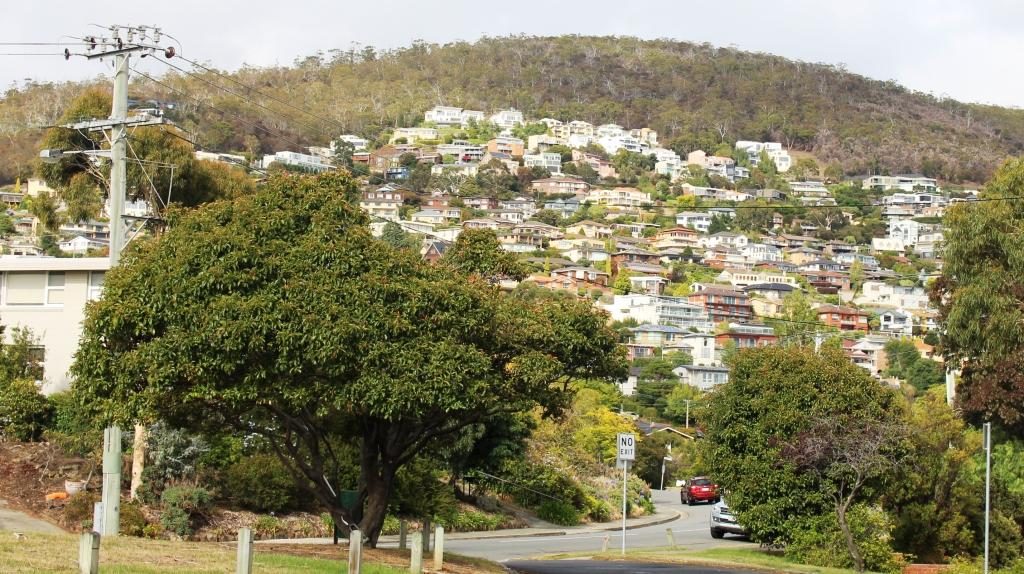
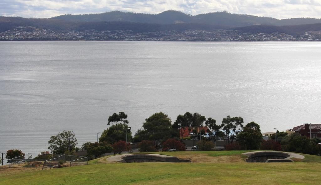
Houses on the hillside above the old Alexandra Battery site.
The old gun foundations and the Derwent.
An observation deck at the old battery site provides good views of the port, river and city.

We then passed through Hobart, crossed the Tasman Bridge and made our way by an indirect route to Richmond, where we spent the night. It was on this drive that we came upon the little town of Campania to the north of Richmond, where we had lunch. The fare was home made pies and coffee, which we dealt with seated at a small table in the grocery/hardware/post office/coffee shop/service station.
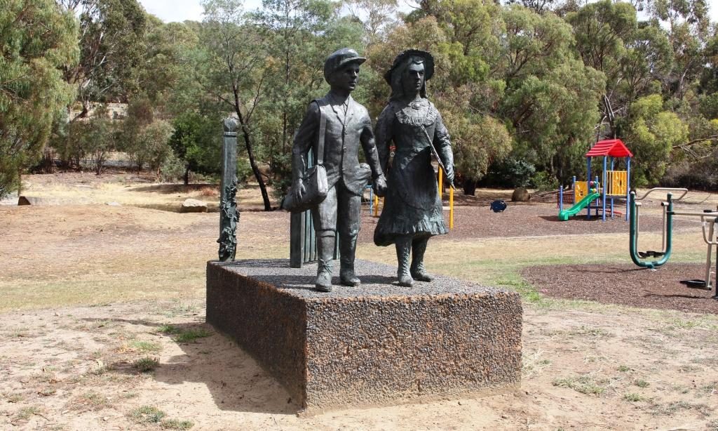
A bronze casting of school children at the original state school at Campania near Richmond.

Our drive took us through areas of vineyards and fruit orchards, interspersed by broad areas of brown dead grass. The drought is about four years old in this part of Tasmania, but irrigation keeps the fruit and grapes growing. Some growers were busy placing white netting over their crops. I assume that the fruit was starting to ripen and birds needed to be kept at bay.
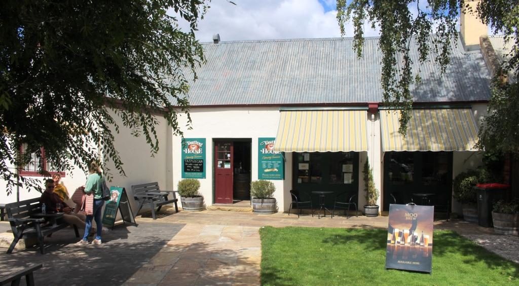
Prison precinct coffee shop at Richmond

Had we come directly to Richmond we would have found plenty of places to have lunch. Historic buildings can be readily converted to purveyors of food and beverage.
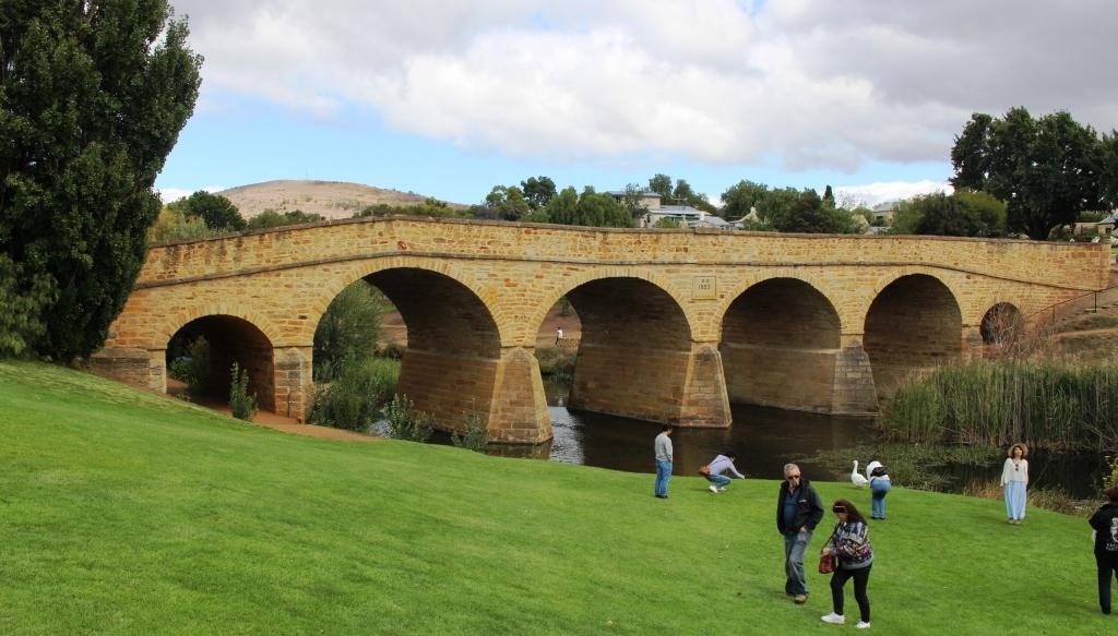
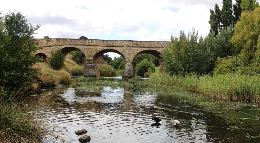
A classic photo of Richmond Bridge.
Richmond Bridge viewed from the other side at river level.
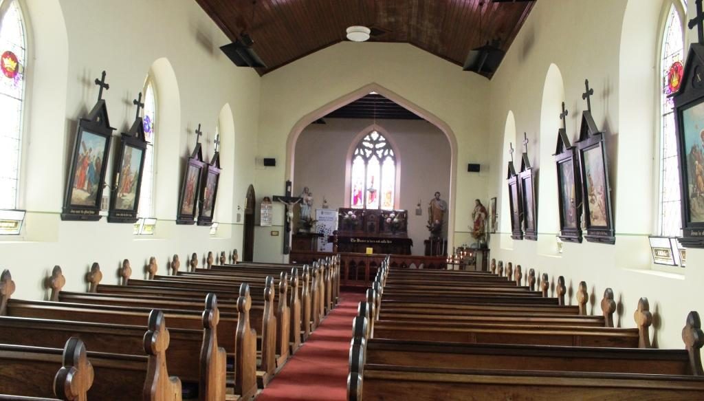
St Johns Roman Catholic Church at Richmond.

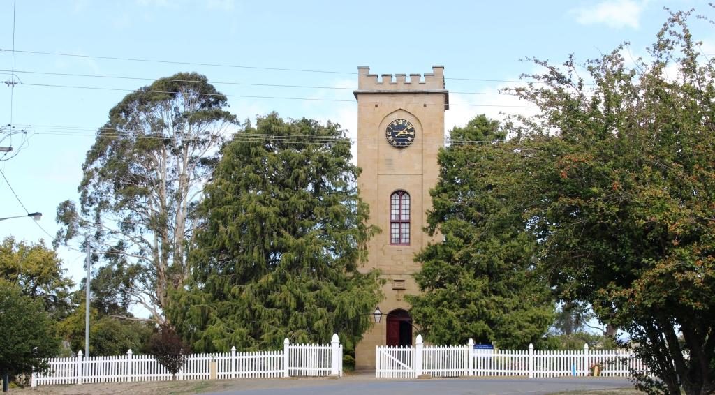
We took a look at Richmond’s historic bridge and walked, as well as drove, over it. We then looked in at St Johns Catholic Church (1836), just a short drive away, followed by a walk around the Richmond prison precinct.
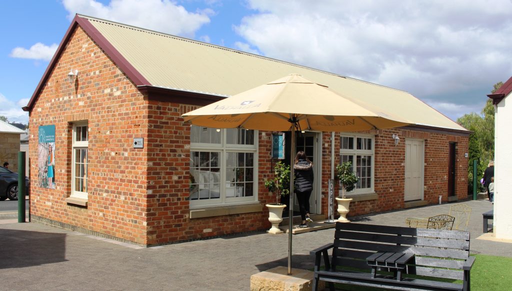
An old building in the Richmond prison precinct converted to a retail outlet.
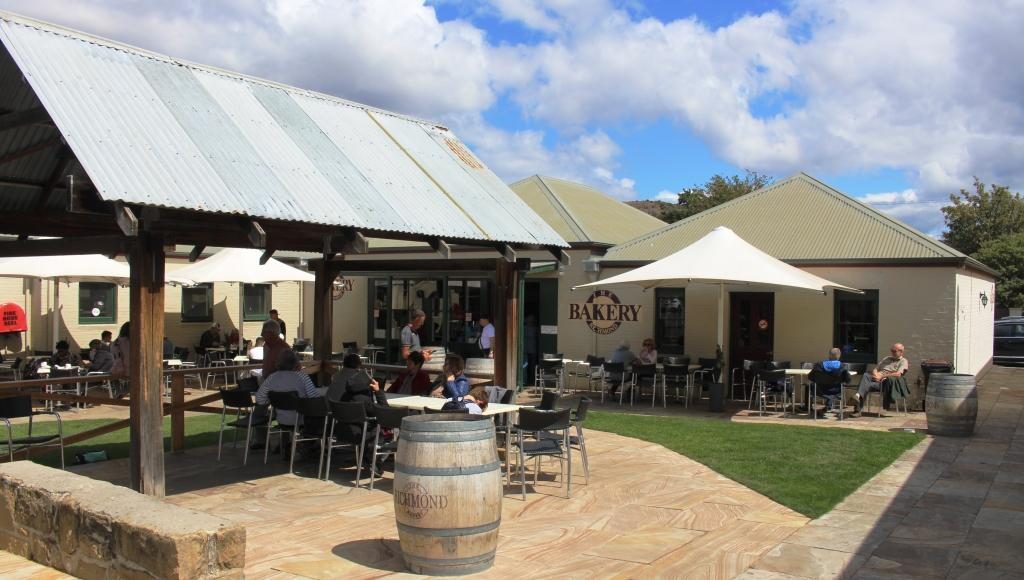
The original bakery has been modernised into an extensive Cafe and Coffee Shop.

Ruth was beginning to be walked out so we checked into our accommodation. I returned to the historic precinct on foot and walked and looked and read and took photos. St Lukes Anglican Church is through the town on the other side of the river and a bit of a walk so it marked my turning point to return to the town area.
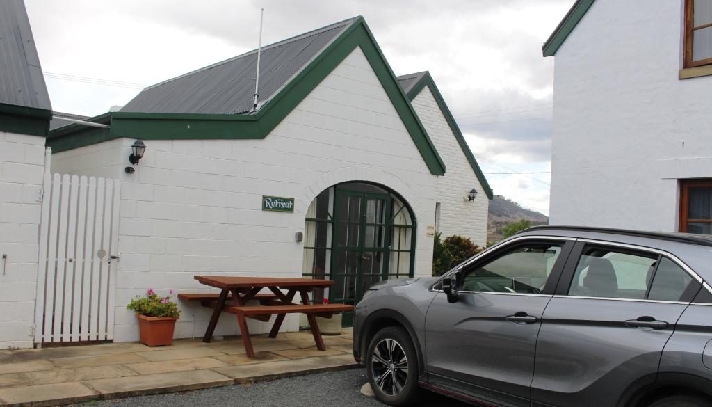
Our unit at The Barracks. It was called “The Retreat”.
St Johns Anglican Church, Richmond was built in 1834.
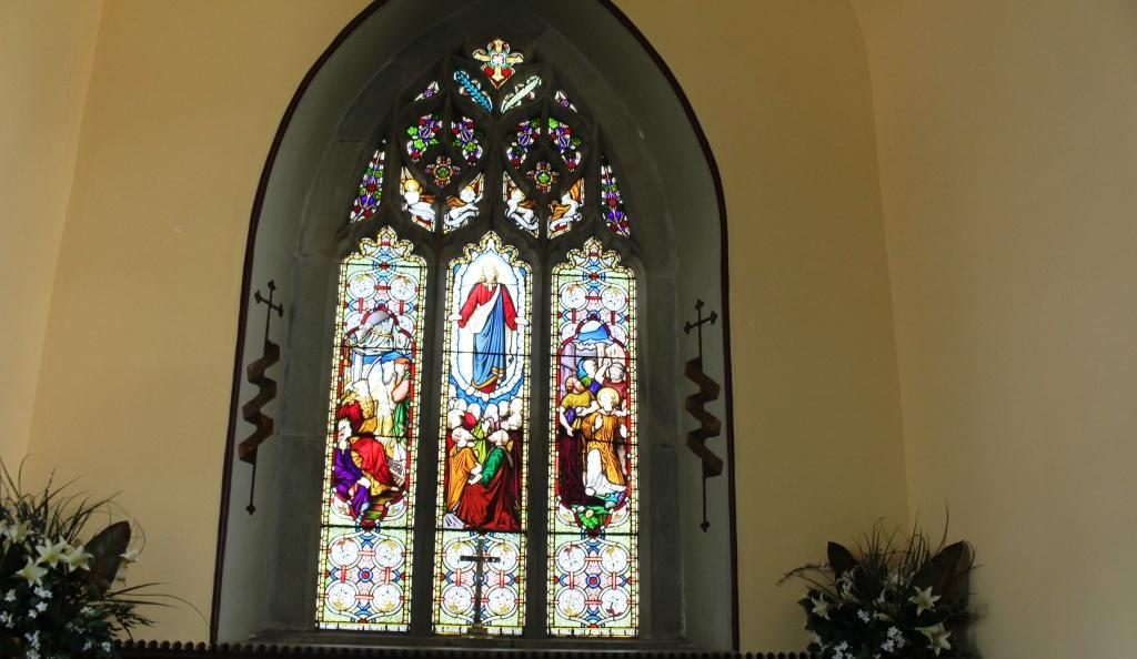
Stained glass windows at the sanctuary end if St Johns church

Richmond has a prison precinct that has been very well restored, with excellent use made of the old facilities. The prison itself remains largely unchanged and tours are available. As we were headed to Port Arthur the next day we didn’t tour the Richmond Prison. There are eating places within the prison area including a cafe in the original bakery.

By the time that I had covered this area I was walked out too, so returned to the unit to put my feet up for a while.  Our accommodation was at The Barracks, small group of holiday units resulting from the renovation of old buildings. Very comfortable and well appointed.
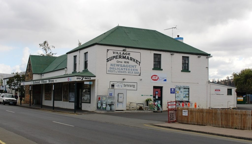
The supermarket operates from a historic site.
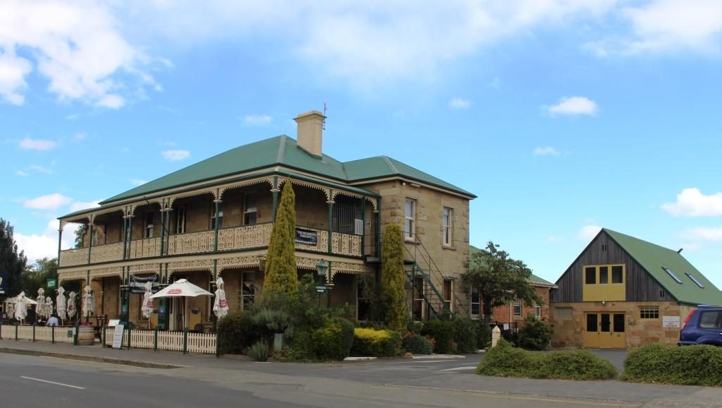
Richmond Arms Hotel
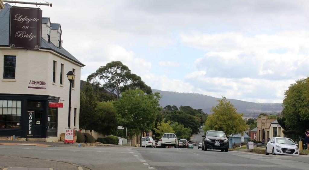
The western end of Bridge Street, Richmond.

The following morning we left Richmond for Port Arthur under clear blue skies which remained, with a few clouds around the edges, for the rest of the day.

As we neared our destination we stopped to look at some touristy things. At Dunalley we checked out the canal that provides a short cut for smaller boats between Hobart and the east coast and it’s lift bridge. It seems to open on request from the passage making boat. This channel is quite short. The land to the south is almost an island. The protruding section of land that links the Tasman Peninsula to the Tasmanian main land is called the Forestier Peninsula.
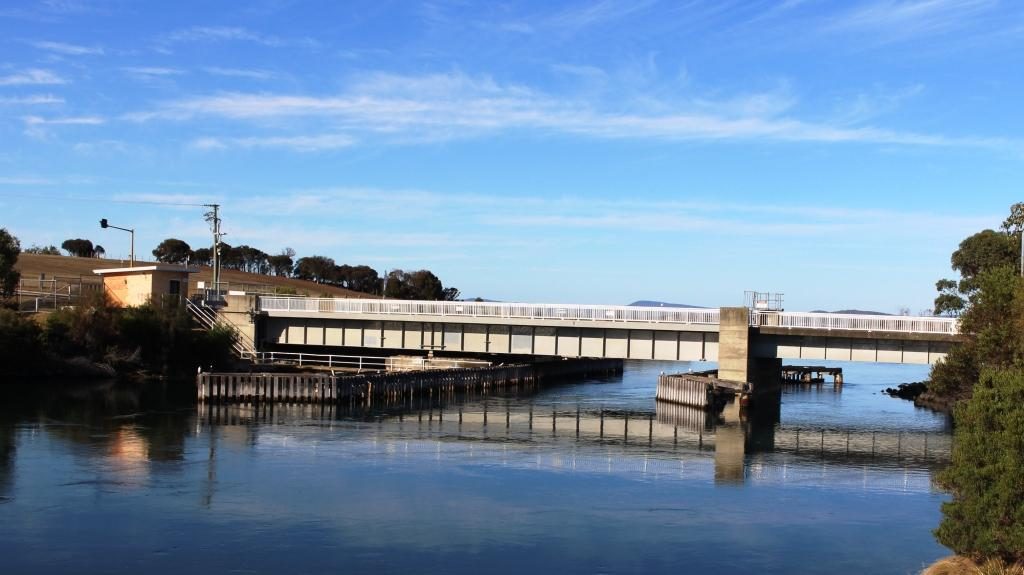
The lift bridge on the canal at Dunalley.
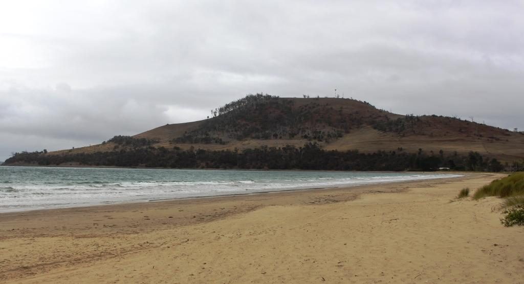
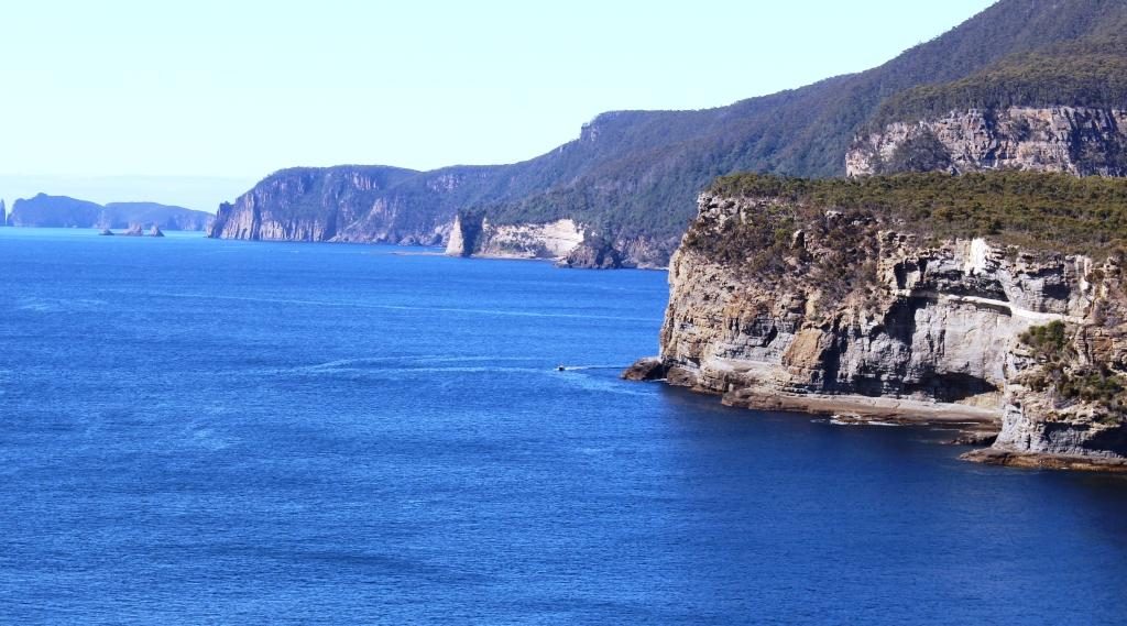
The east coast at the northern end of the Tasman Peninsula.

At Eaglehawk Neck, about 20 km further south, the same geographic phenomenon repeats, with Eaglehawk Bay, a long thin inlet from the west, almost joining the ocean at a short and narrow isthmus that leads to the Tasman Peninsula.
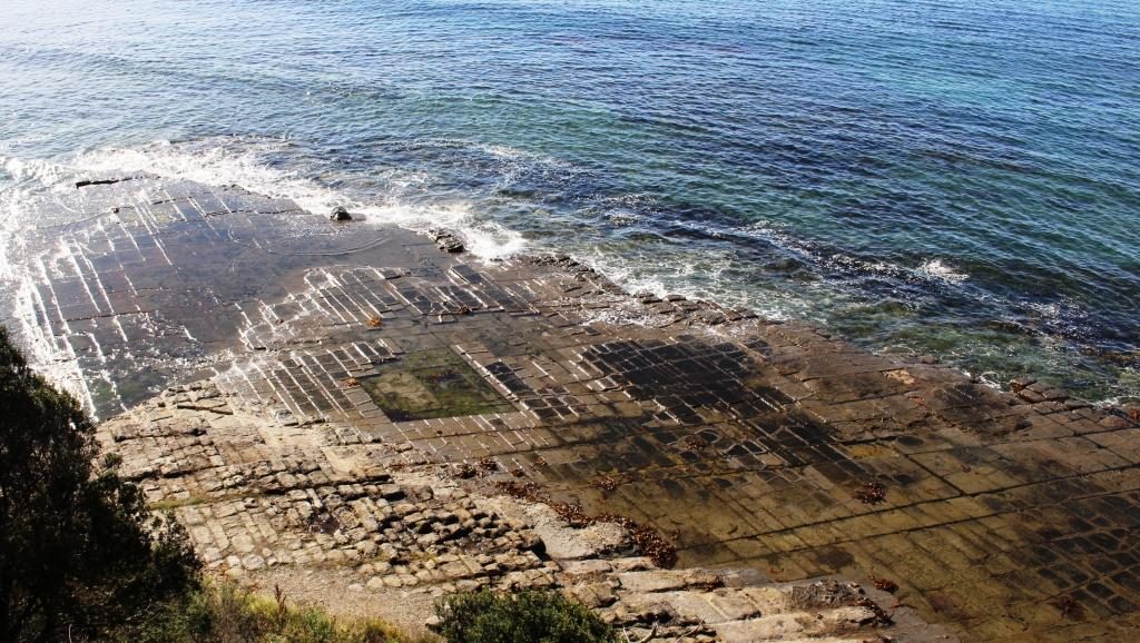
Tessellated Pavement at Eaglehawk Neck.

The Tessellated Pavement is reached from a road that turns just before the decent to Eaglehawk Neck, at the end of a drive of about 5 km. It is in the form of a broad shelf of rock that looks like an area of cobble stones.
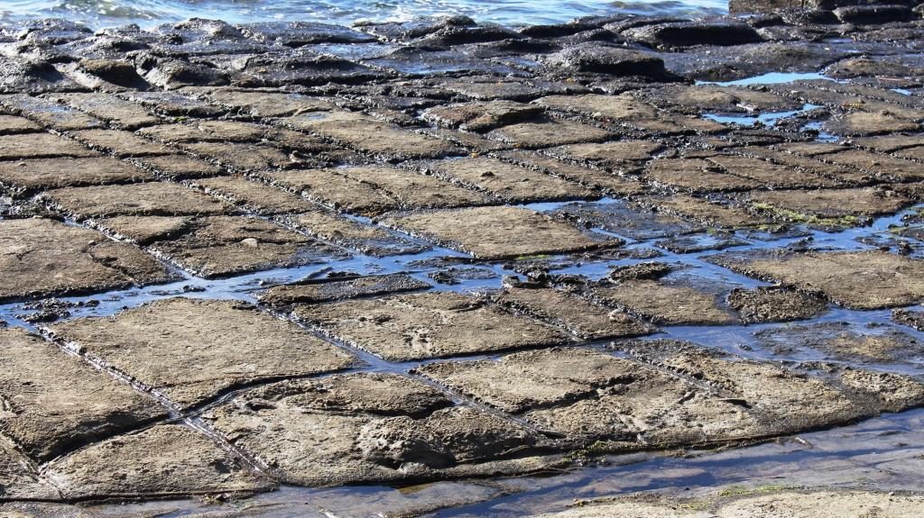
The natural Tessellated Pavement has the appearance of laid cobblestones.

Tasman Arch and the Devil’s Kitchen are reached by a road that turns to the east after crossing Eaglehawk Neck and follows the ocean coast for another 5 km. The tide was low and the sea flat calm so there was nothing cooking in that kitchen. Because of the calm seas we didn’t worry about the near by blow hole. There would have been nothing to see there.
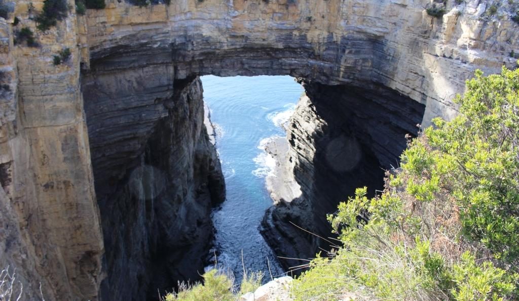
Tasman Arch from near to the car park. It is only a short walk.

Tasman Arch is best viewed from the water and that was probably how it was first discovered. The view from the land is courtesy of a sink hole that is large enough to allow a reasonable view.

The road to Port Arthur turns west along the southern shore of Eaglehawk Bay for a while and then turns inland and runs across the eastern part of the peninsula to Port Arthur.
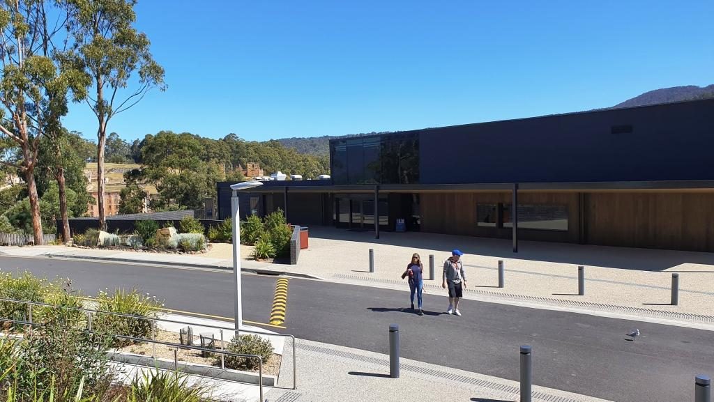
Port Arthur Visitor Centre with ruins in the background

We were last at Port Arthur about 45 years ago. The changes are significant. One of the most important is the huge visitor information centre with it’s displays, cafe, restaurant and the ability to handle large numbers of people. Port Arthur is a very popular attraction and included on most package tours to Tasmania’s south.
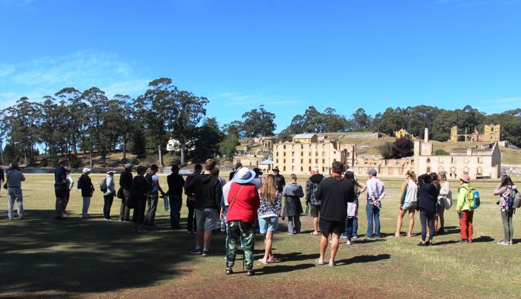
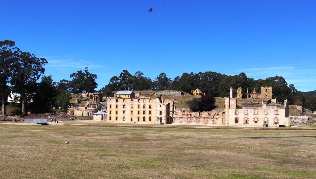
Our group listening to the guide.
The Penitentiary. The hospital can be seen behind at the right. The Commandant’s house is at the left with the Guard Tower between it and the Penitentiary.

Forty five years ago the portion of the convict prison open to the public was much smaller than it is today. The admission ticket ($32.00 each for seniors) allows two days to see it all. An historical enthusiast would easily spend that much time if they stopped to read all the signs and study the exhibits.  We had but one day and ageing legs. We covered the main penitentiary building and the area furthest from the water, where the separate prison and the asylum are located. We then joined a cruise on Mason Cove and the port of Port Arthur. The cruise is included in the ticketed cost.

The cruise passes the old ship construction slipways, the site of the now nonexistent boys’ prison and the Island of the Dead, the penitentiary cemetery. Visitors may land on the island and be picked up by the next tour boat. We stayed on board and completed the tour before going back to the visitor centre for lunch.
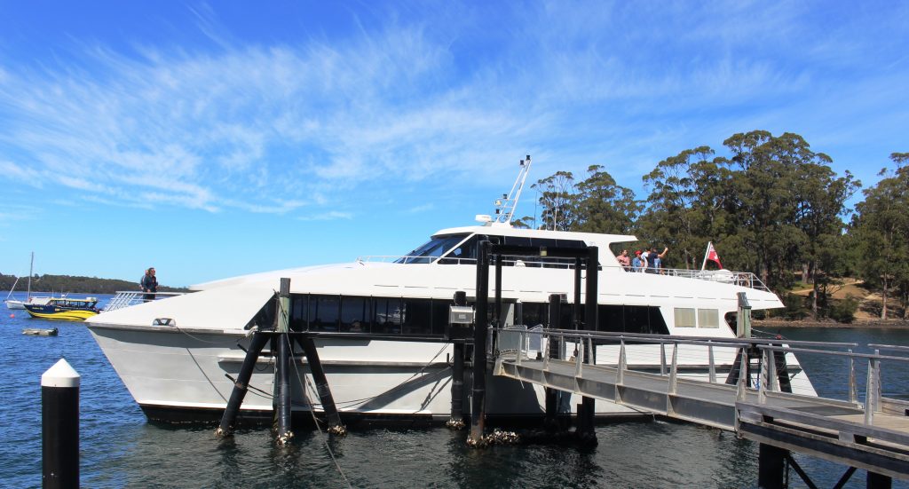
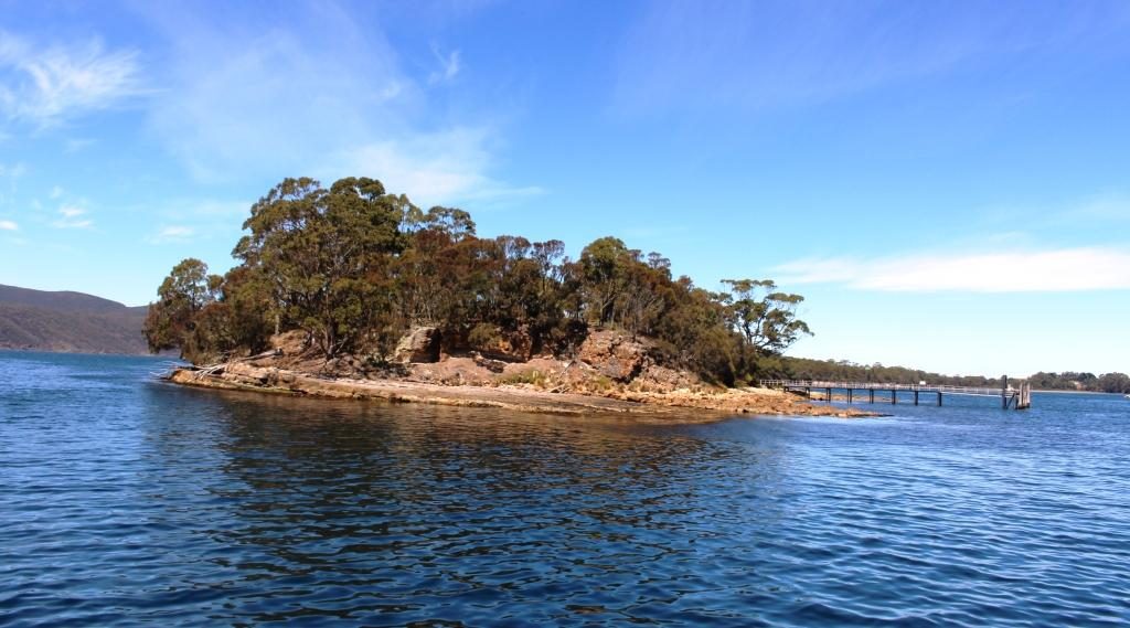
The Island of the Dead cruise boat. The short tour is included in the admission price.
The Island of the Dead, Port Arthur cemetery.

Tour guides tend to emphasise the cruelty to which inmates were subjected, but it happened over 150 years ago and was not abnormal for those times. The intention was to rehabilitate as well as punish. During the life of Port Arthur as a convict settlement, methods changed when existing practices were found not to be working. Unfortunately they were often replaced by something else that didn’t work. Rehabilitation of errant humans is not easy. Western society still has not got it right if re offending rates are any indication.
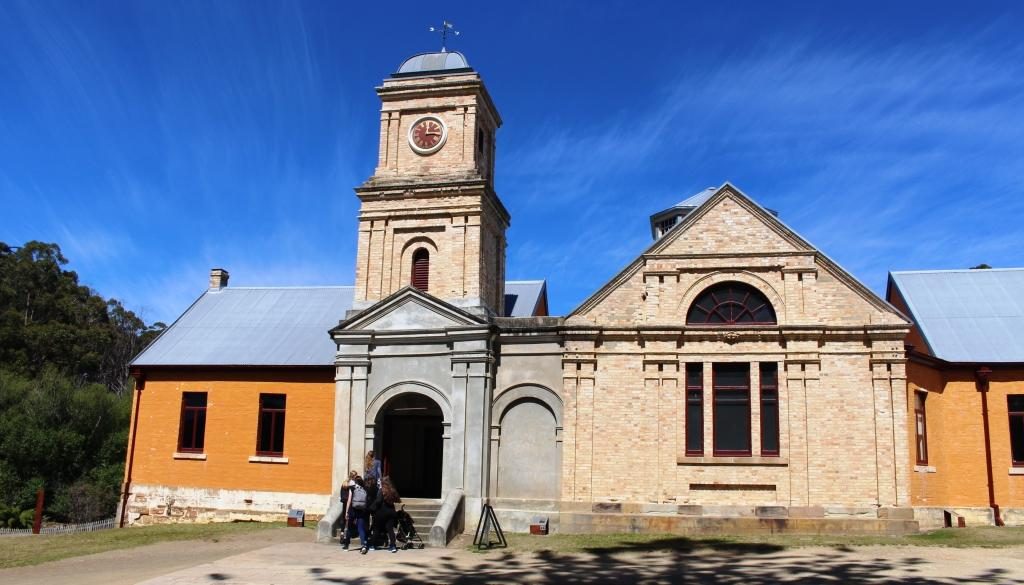
The Asylum was built in 1868 when it was found that incarceration methods were sending prisoners mad..
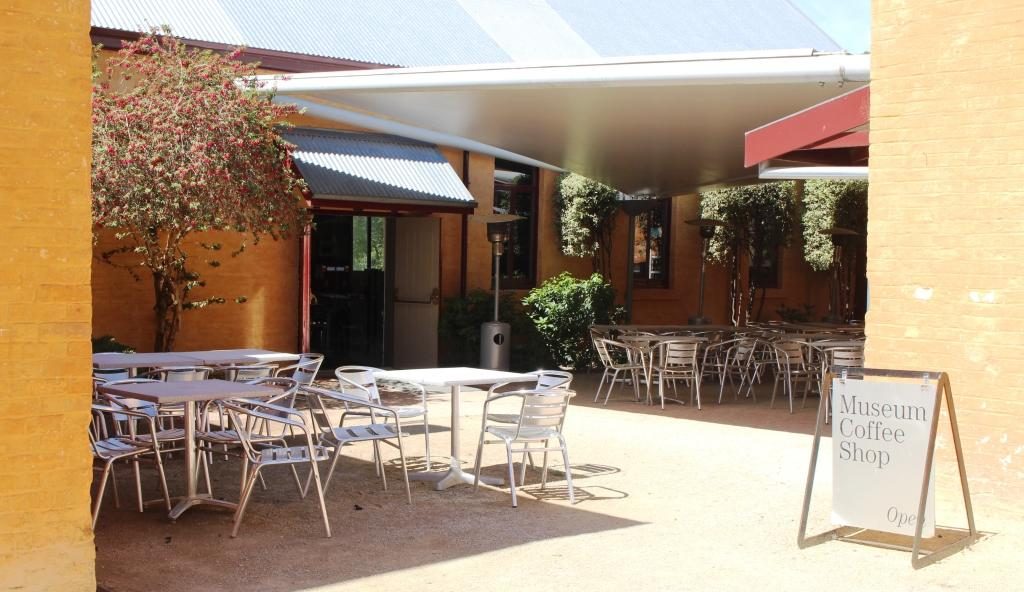
The cafe at the Asylum provides an alternative to the walk back to the visitor centre for refreshment.
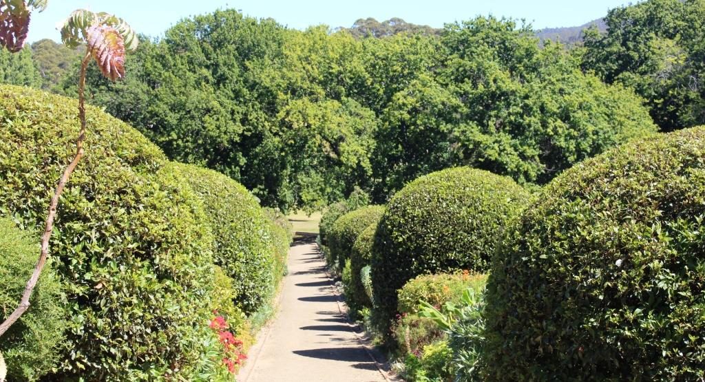
The Government Gardens
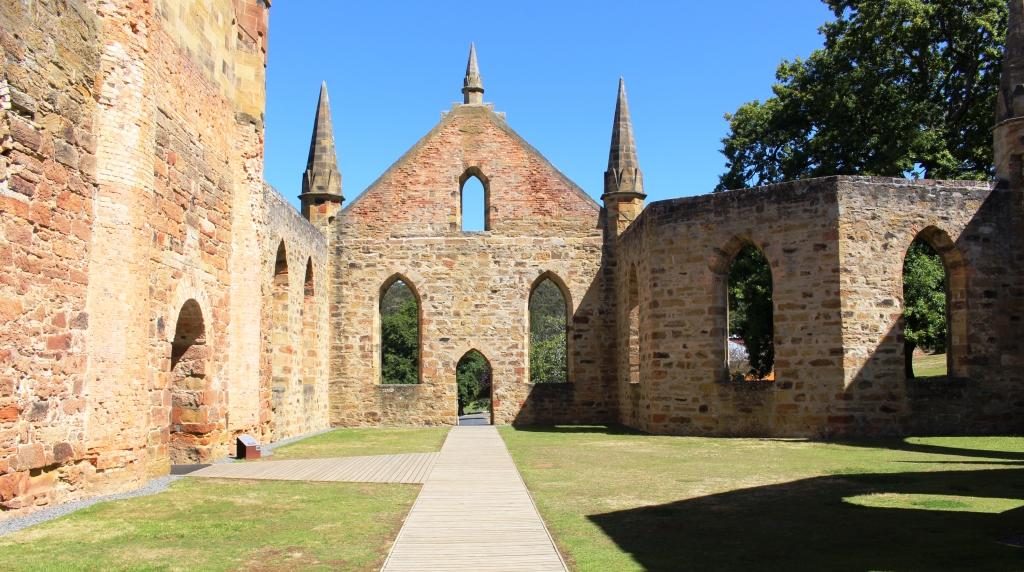
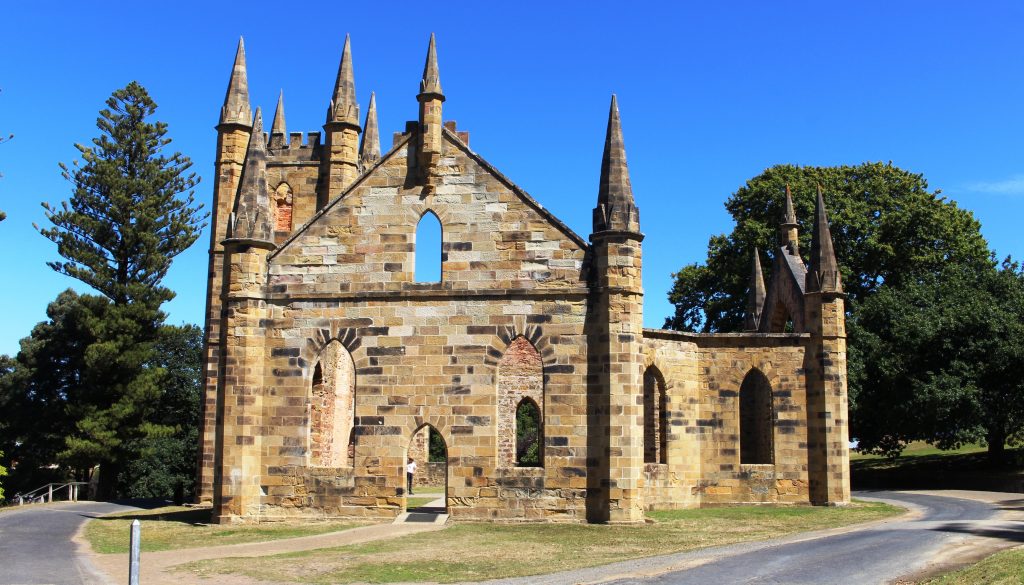
The church at Port Arthur demonstrates the important part that religion played in the reform of prisoners.
Up to 1,100 people would attend church on a normal Sunday.

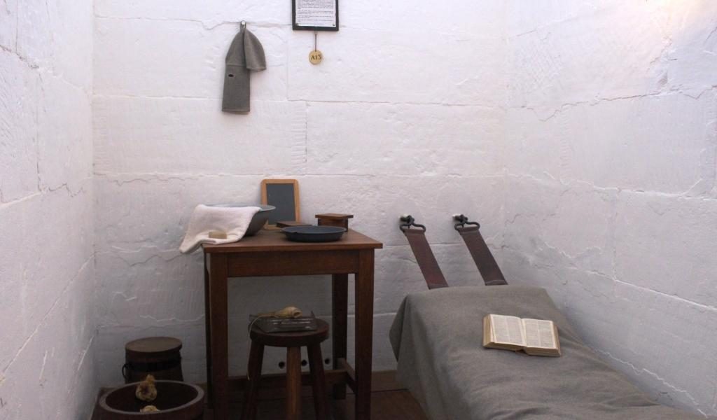
Ruth was done with walking so stayed at the visitor centre while I went back to walk through some other areas. I did the garden and the government cottages, the ruins of the church and had a closer look at the Separate Prison (where prisoners were known by a number and lived in solitary confinement), and the Asylum (needed for all the prisoners who went mad from solitary confinement).
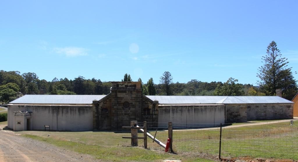
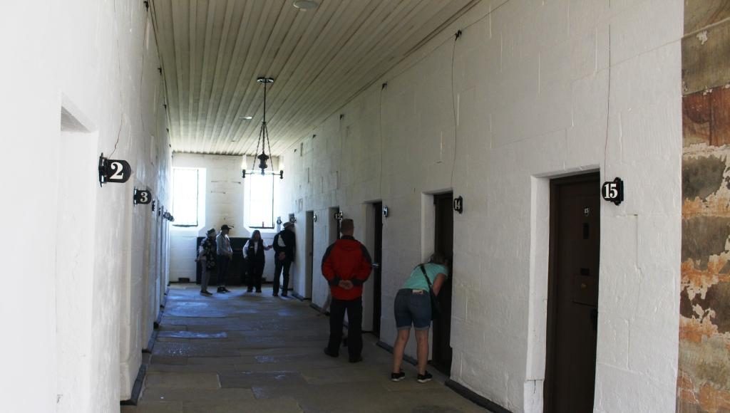
The front of the Separate Prison faces away from the remainder of the convict area at Port Arthur.
A prison cell wing of the Separate Prison.
A typical cell for one prisoner.
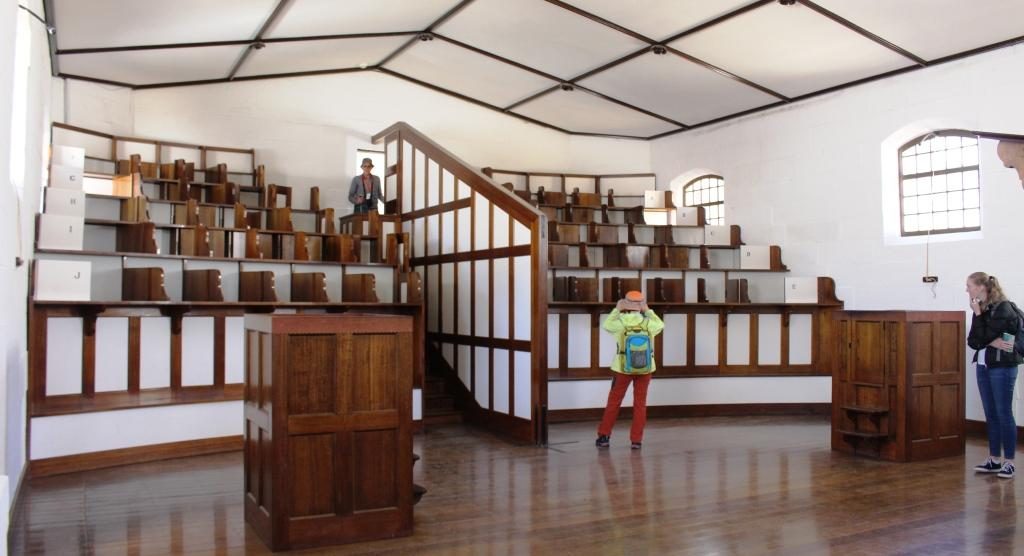
Seating in the chapel was designed to keep prisoners separated during worship.

I then climbed through the ruins of the hospital, the guard tower and military accommodation areas, the commandant’s house and finally a detailed walk through the penitentiary. Quite a bit of walking.
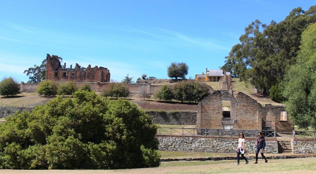
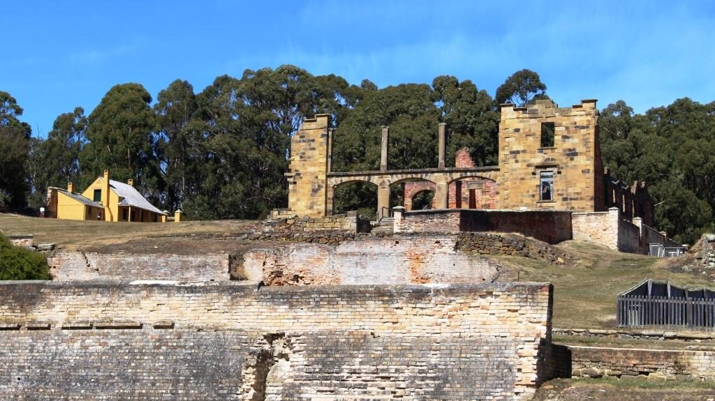
The police station with the hospital in the background to the left.
A front view of the hospital, built in 1842. The house at the back is Smith O’Brien’s cottage. O’Brien was an Irish political prisoner who had been transported for life.

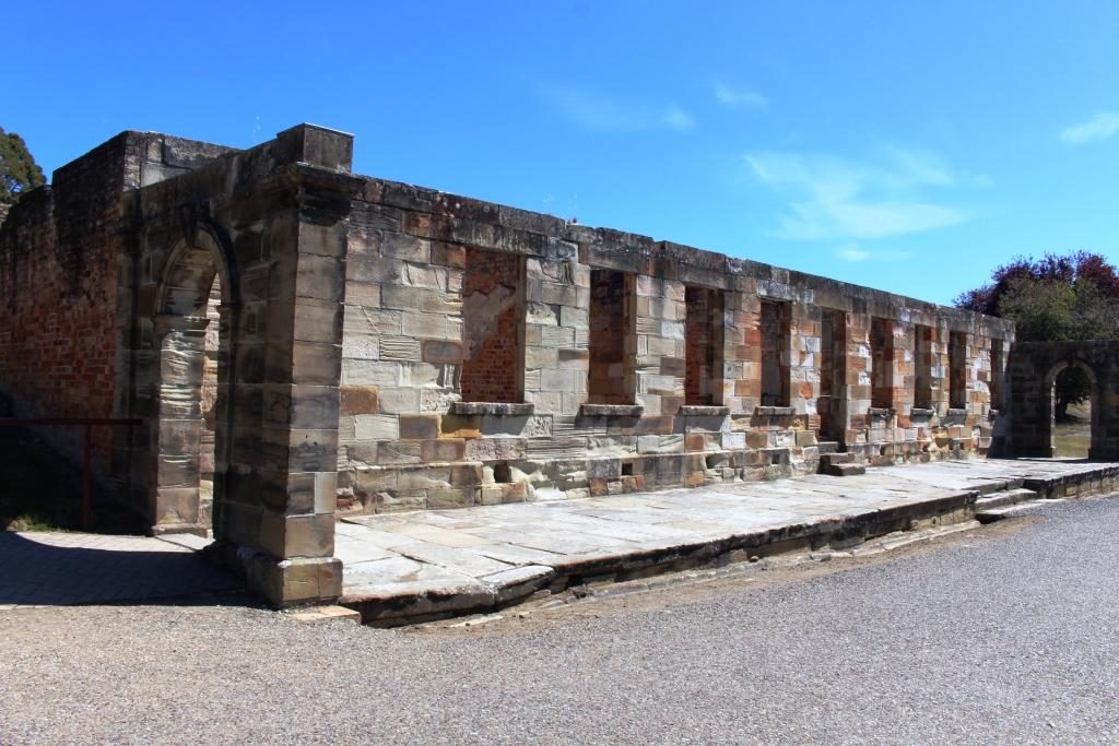
Ruins of the guard tower and the military accommodation remain sufficiently intact to give a good idea of what was there originally. The court house is in the same vicinity, straight across the street from the penitentiary, the place from which most prisoners would be brought to appear before a magistrate and the place to which they would be returned, but possibly to a different section, depending on the sentence.
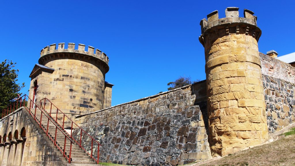
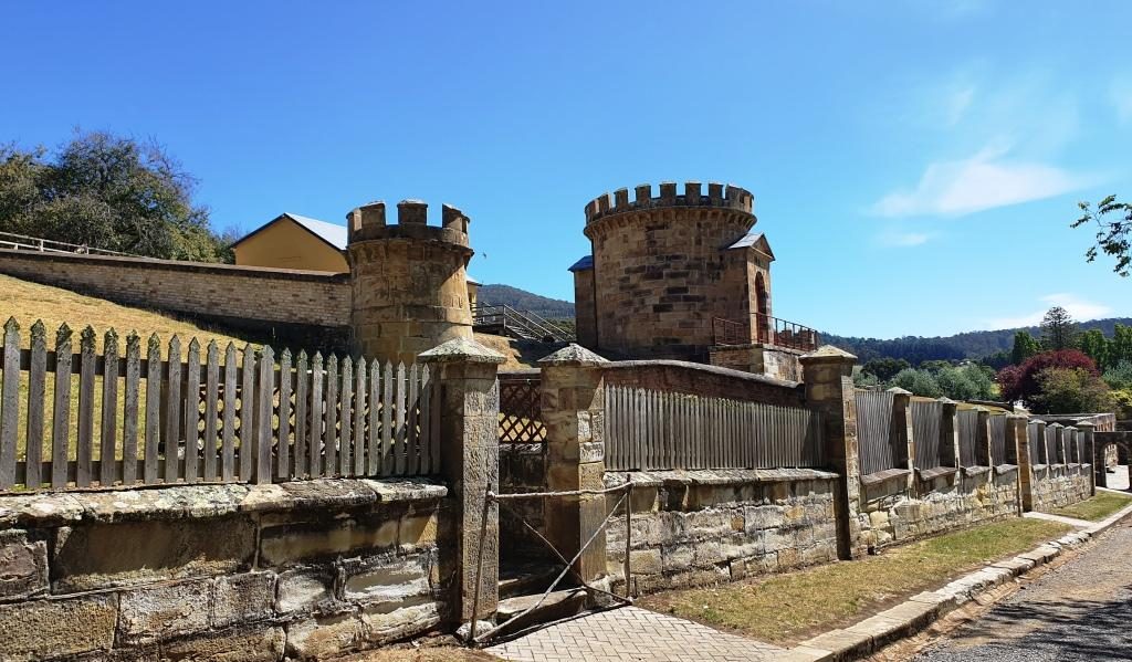
The Guard Towers
The guard towers with soldier accommodation at the rear.
The Port Arthur Court House
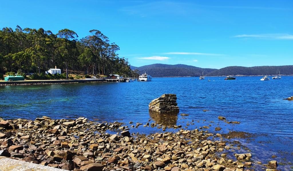
View of Mason Cove from the court house. The ship building slipways are past the cruise boat wharf.

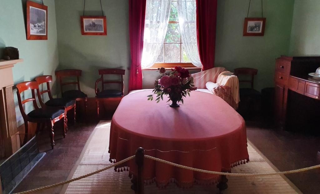
The commandant’s house contains furniture that is either original or represents the period. Many rooms are set up as they would have been when occupied by it’s residents. Other rooms contain displays, rather like a museum. There is a display of information signs providing details of commandants, governors and other figures of authority.
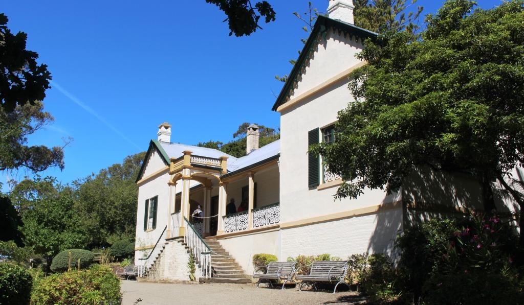
Entry to the Commandant’s house
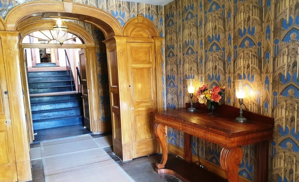
The formal dining room
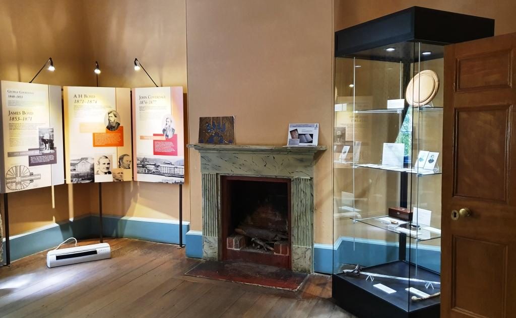
History and information displays in one of the formal rooms.
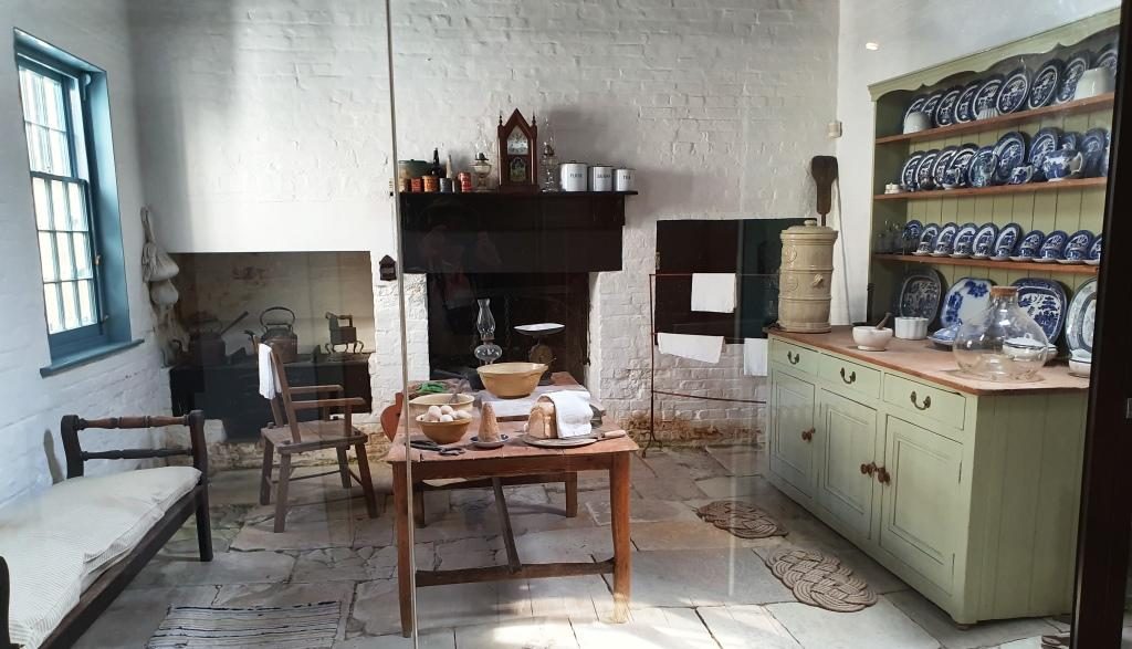
The kitchen
The house steps up the hill. This is the stair way to the second level.
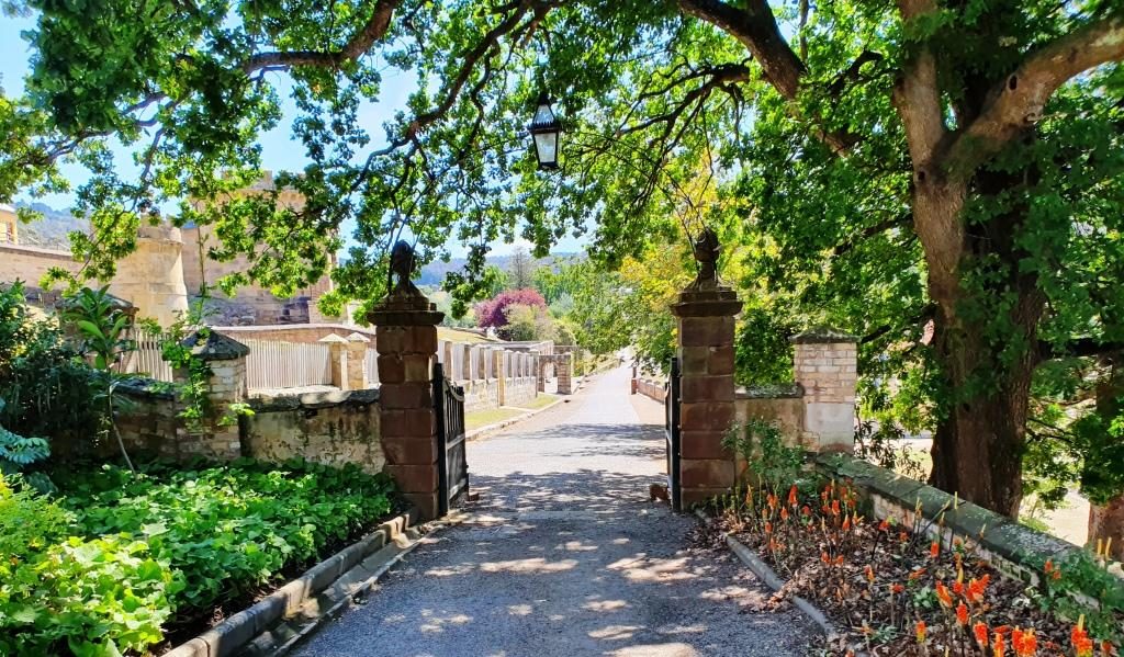
Departing through the access gate from the grounds to the commandant’s house.

The penitentiary was built in 1845 as a flour mill and granary, with the flour mill powered by water wheels, or prisoner operated tread mills, when water flow was insufficient. To be assigned to the tread mill was one of the most harsh punishments available. You can just about imagine the convicts praying for rain.
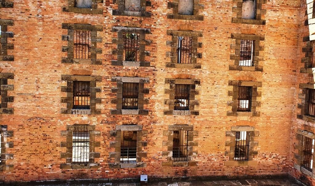
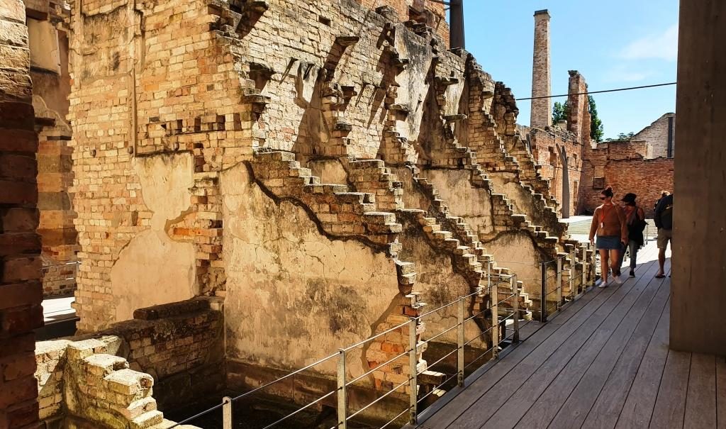
Barred windows of the penitentiary cell block
Partly demolished walls.

Competing demands for resources saw the flour mill closed in 1854. The building was converted to convict accommodation, completed in 1857. It was closed in 1877 and largely destroyed by fire in 1897. The ironwork that secures the outer walls that still stand is obvious and necessary.
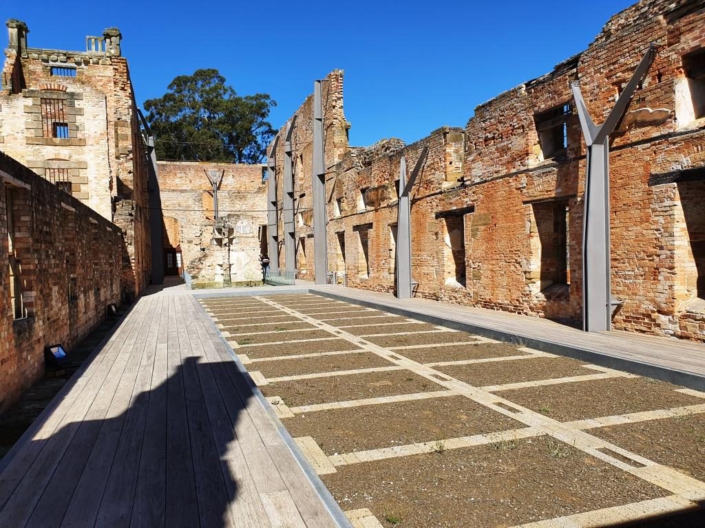
The fire gutted cell block showing the lay out of the cells. The walls are supported by steel reinforcing.
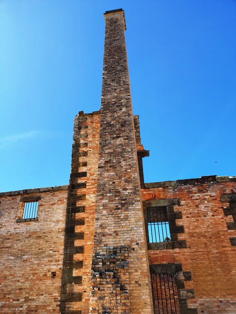
The prison chimney.

When you pay your entrance fee you are each given a card bearing the name and likeness of a person who was at Port Arthur. You then go downstairs to the gallery, find the likeness on a wall and pull out a panel to read the detail.
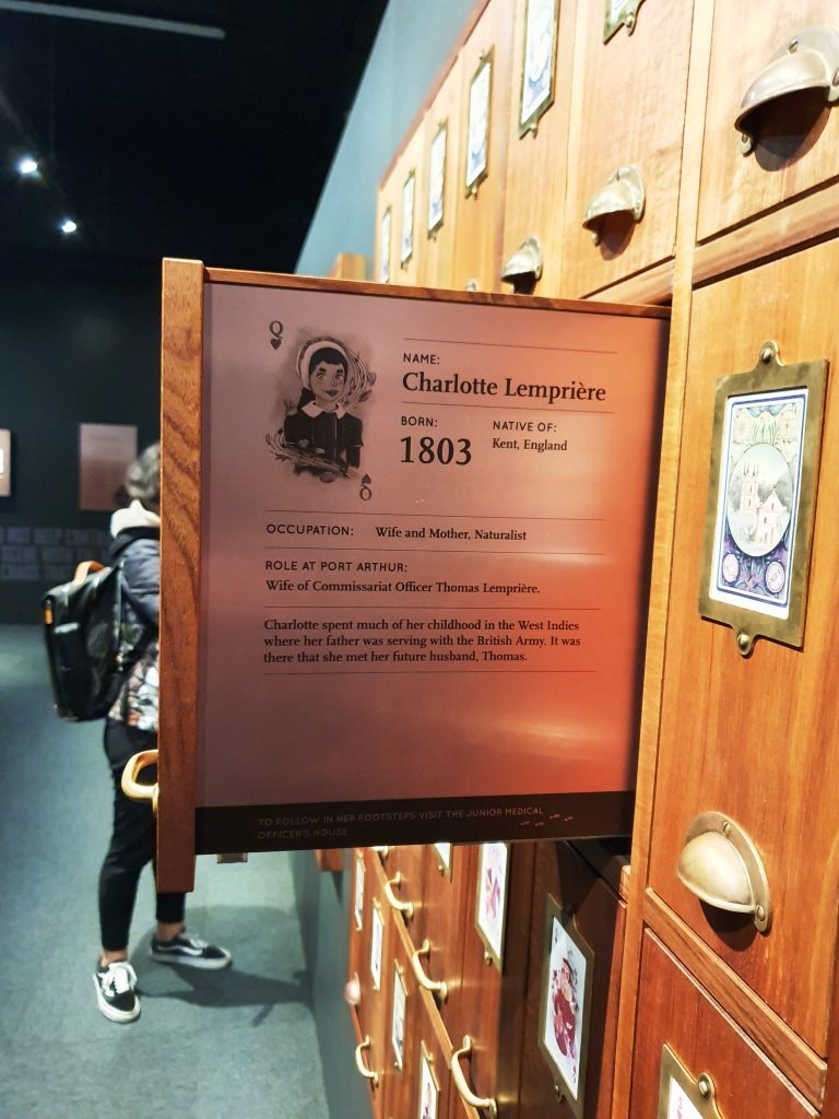
A slide out display exists for each person who was permanently at the convict prison. This is the wife of the accountant who’s name that I chose. His details are on the other side.

The character that I received was the accountant at the prison. Ruth got a character who, in England, lost his pension, threw a stone at the King, was charged with treason and transported. At Port Arthur he refused to do the King’s work or eat the King’s food so starved to death. As I walked I took particular notice of the accountant’s house.
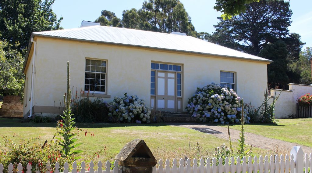
The accountant’s house.

We were booked for the night at a place part way up the East Coast called Little Swanport. If I had realised how close we would be to Richmond on the drive we would have booked there for two nights. We wish we had done so.

We had done well with our accommodation arrangements so far but bombed out that night. The place was clean, tidy and comfortable, but inadequate. Windsong described itself as a B & B, but it was 5 km off the highway. The turn is near the community hall that calls itself Little Swanport and 15 km from the nearest source of nourishment. The host, Tom, who checked us in and told us to call if we needed anything had disappeared when I went to look for him to see if we could arrange an evening meal.

The table is set for a three course dinner, including wine glasses, but no stove or microwave to cook with or sink in which to wash our dishes and no tea towel to dry them. We had bread and food to make sandwiches, even a toaster, so we didn’t go hungry. But it did seem a bit odd. A continental breakfast was in the room for next morning.
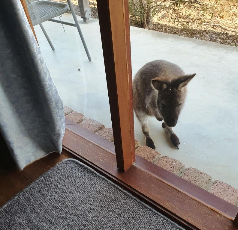
A morning visitor at Windsong at Little Swanport.

Destination Tasmania – Part 6 – Hobart

15th to 18th February 2020

Please Note: Videos covering the material in this blog post can be found at the bottom of the post.

Saturday morning and we awoke to pools of water on the balcony and driveway. The first real rain since we had arrived in Tasmania had fallen over night. Patchy cloud in the morning cleared to a sunny day with a cold south easterly breeze.

We left New Norfolk, heading for Hobart, but we needed to fill in time to check in. So we drove down river, crossed to the east side and made our way to the Tasman Highway that passes the airport and ultimately leads to Port Arthur and the East Coast. We wanted to see what the suburbs over the river from Hobart were like and to view the city from the eastern shore.

The western end of Seven Mile Beach

We made a quick call into Seven Mile Beach. Craig and Anne Sheather and the girls spent a few days there as their Hobart base in December. The beach was bleak, as the cloud cover had intensified and the wind was coming in over the bay. We quickly made thermos coffee and returned to the car to drink it.

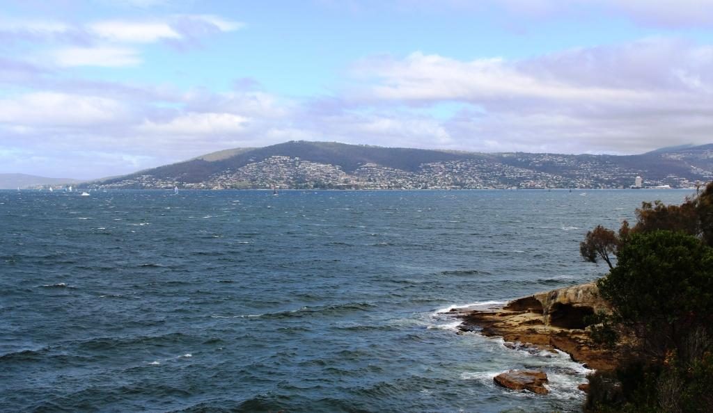
Hobart’s southern most west side suburbs

After retracing our steps back towards Hobart, we turned left and drove down the South Arm Peninsula to the southern end of the bay that is encompassed by the sweep of the peninsula as it turns back to the north. By this time we realised that we were too far south to see Hobart so we turned back north, keeping as close to the western shore of the Derwent as possible.

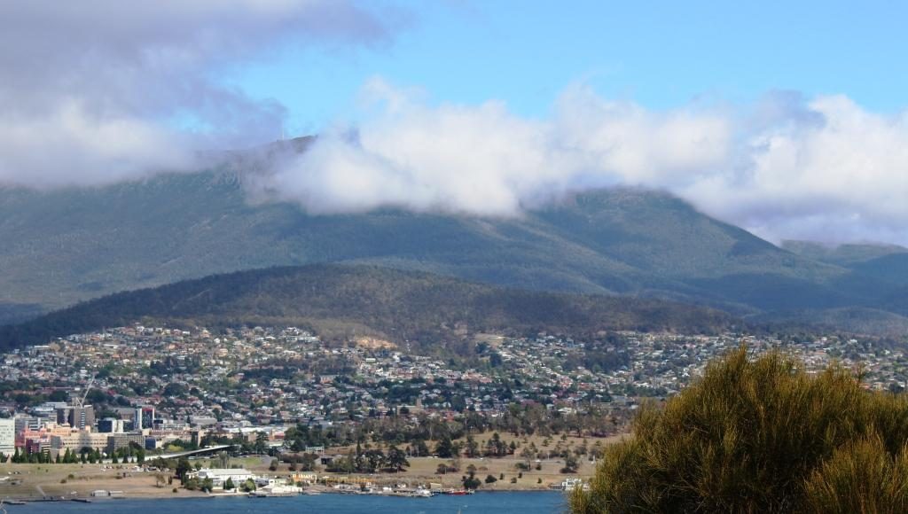
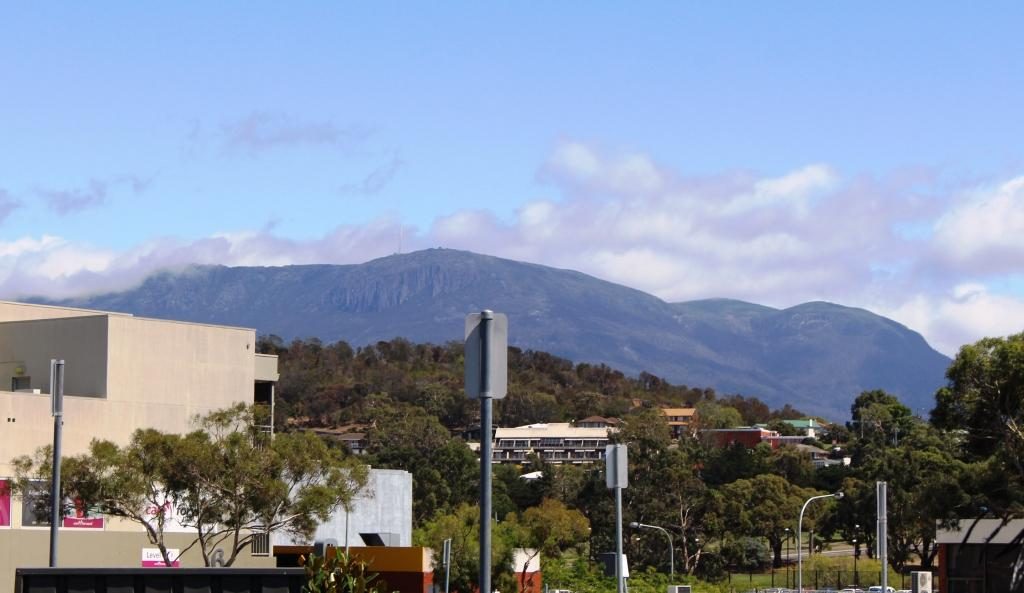
Cloud covered Mount Wellington
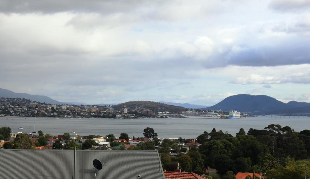
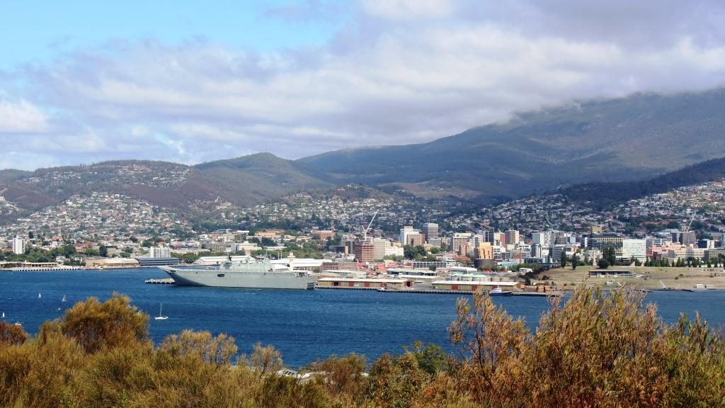
Port and City of Hobart from Rosney Hill Lookout

We drove past what used to be the Tasmania cricket ground, now their major sports stadium, and then turned back to the shore at Bellerieve. Then, quite by chance, because we turned left instead or going ahead, we came upon Rosney Hill Lookout near the eastern end of the Tasman Bridge. This elevated lookout gives splendid views of Hobart and it’s immediate suburbs on the west side of the Derwent, as well as of the Tasman Bridge. Mount Wellington provided a backdrop for the city. It’s summit was covered in cloud. Not the day to drive the road to the summit, we decided.

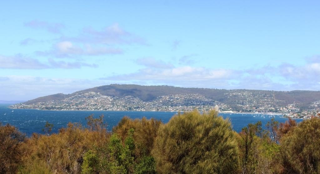
Those western shore suburbs again

It was now lunch time, so we returned to the Rosney Park Mall in search of food. When we returned to the car Mount Wellington was clear of cloud, so with an hour to go to check in time we decided to drive to Mount Wellington prior to going to Sandy Bay to check in.

Mount Wellington summit is clear. Let’s go!

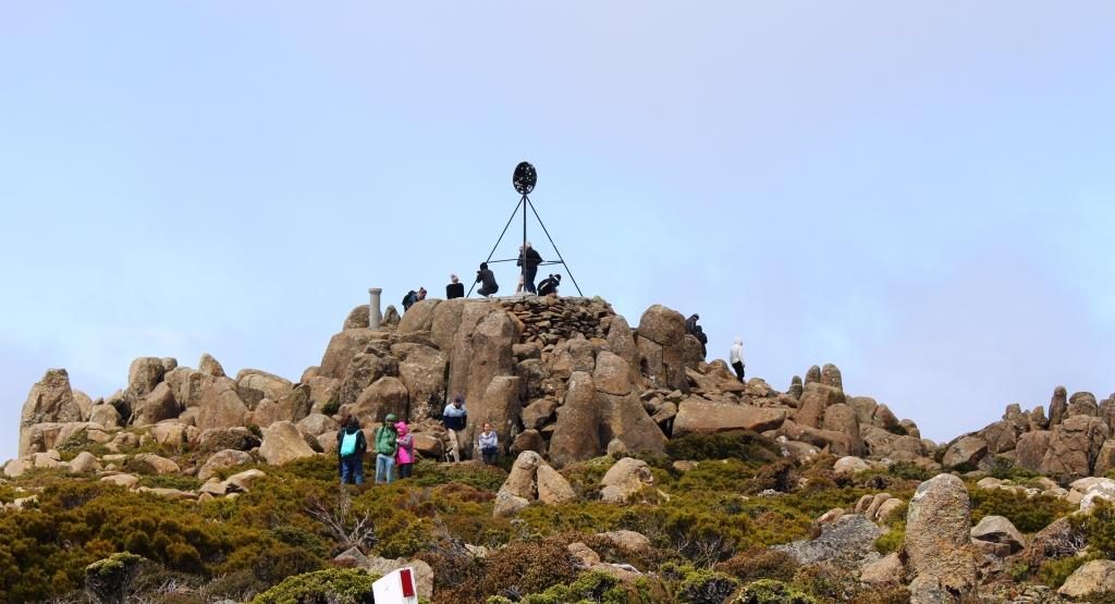
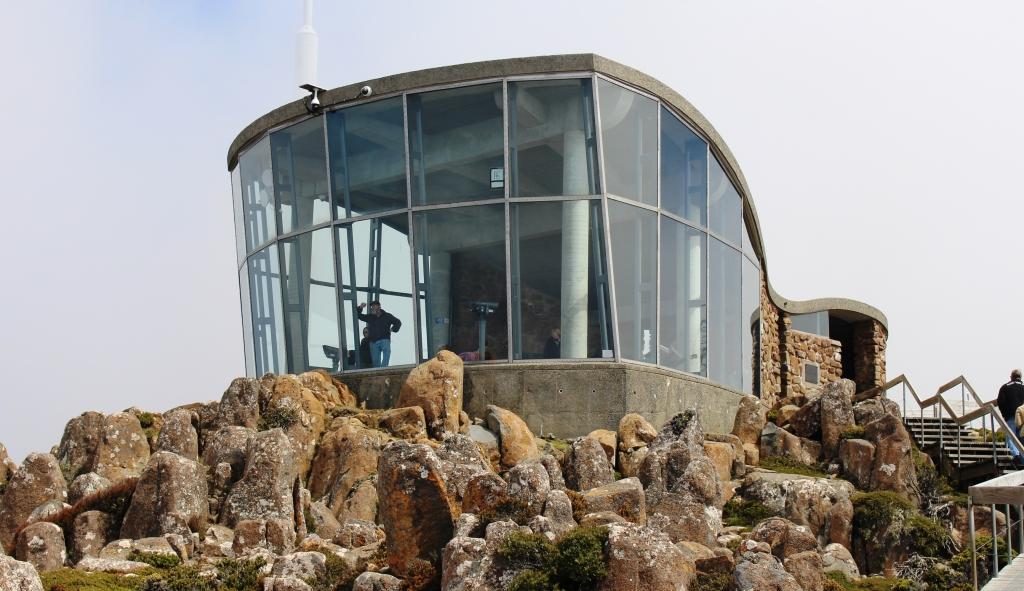
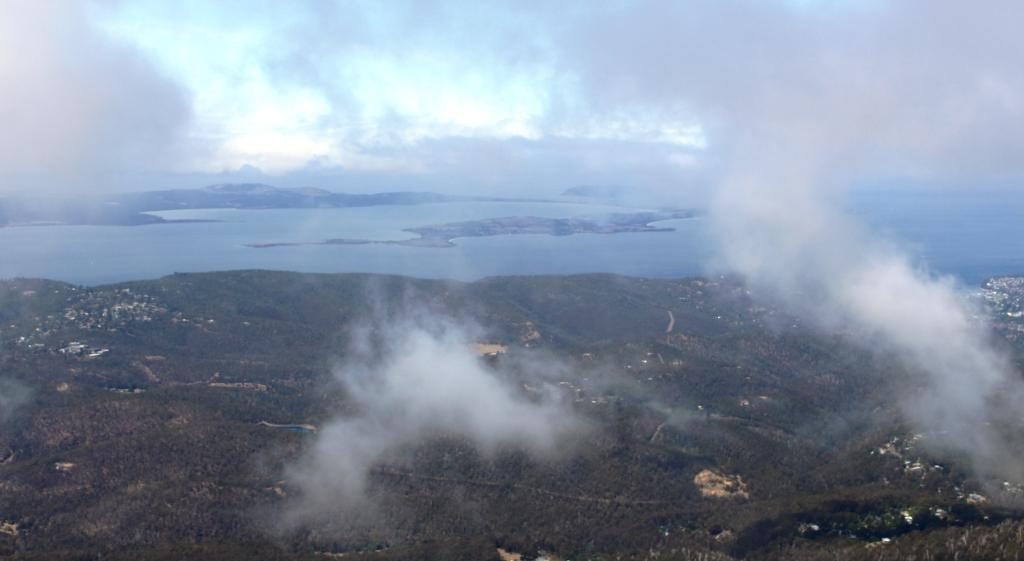
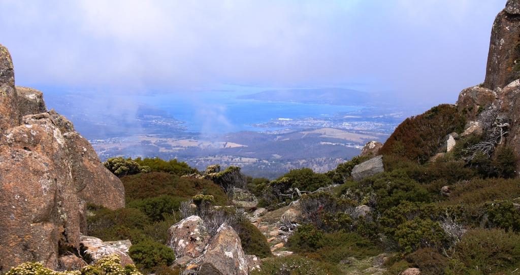
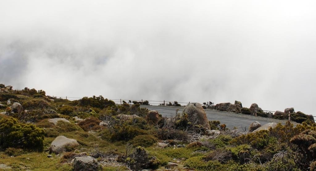
Mountain weather is not to be trusted, particularly as far south as Hobart. As we approached the summit we could see cloud drifting over. By the time that we had parked at the summit only glimpses of the views were to be had through gaps in the cloud. The wind over the summit was strong and cold. Ruth sheltered in the car while I dashed around getting the photos that I could.

The trig point at the summit of Mount Wellington.
Mount Wellington viewing shelter gives good views of the city, provided that there are no clouds.
Bruny Island through the clouds
City and the Derwent River
The cloud cover is complete but below the summit

There were better photo opportunities down the mountain, but not with the same panorama as that available from the summit, but with less cloud. We stopped while I took a few more shots.

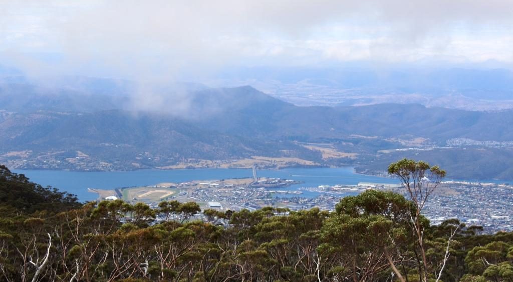
The Derwent upstream of the city
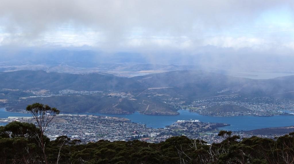
North of Hobart and the Tasman Bridge

Our Hobart accommodation was the Bay Hotel Apartments at Sandy Bay, just a short drive from the City. The units are old but have been renovated to provide comfortable accommodation. We stayed for four nights, giving us three days in Hobart.

Our first day in Hobart was Sunday. We opted for a restful morning, so stayed in doors. After lunch we set off to check out the city, particularly the waterfront area. We found a parking station in the City. Street parking was near to impossible.

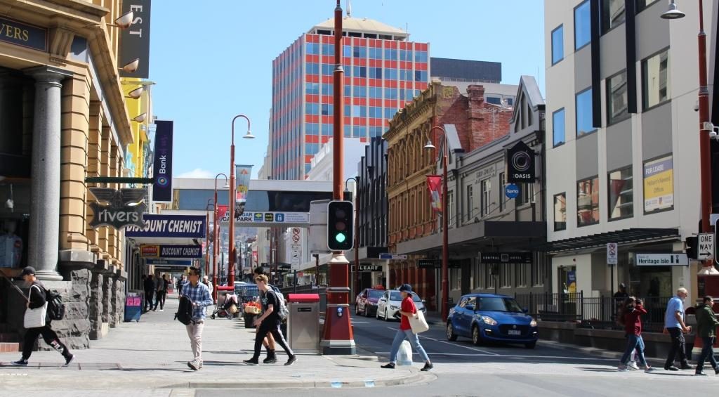
Elizabeth Street, Hobart
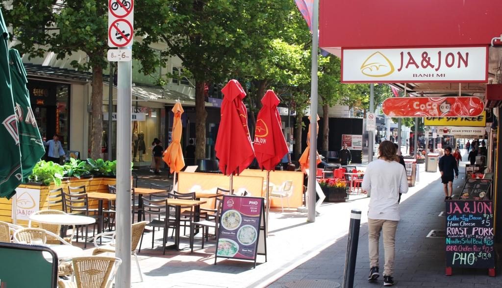
Part of the City Mall

Our first port of call was the Information Centre where we loaded up with brochures. We then went dockside, just a short walk away.

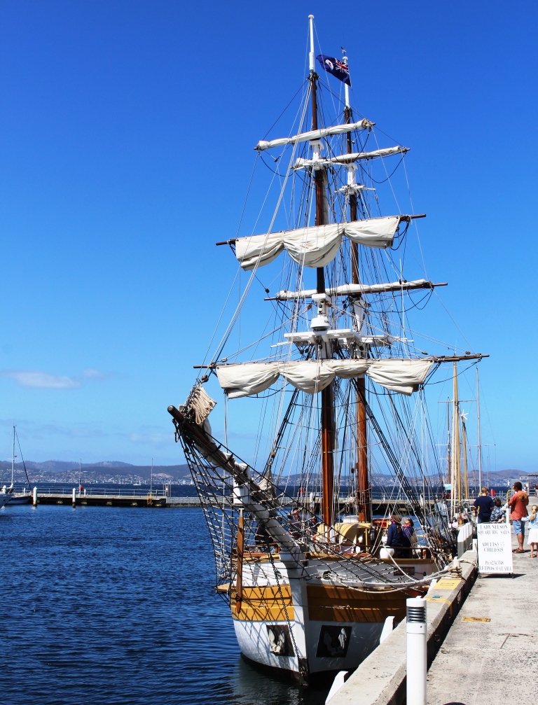
Full size replica of the Lady Nelson. In 1800 the original was the first ship to sail west to east through Bass Strait, shortening the voyage from England to Port Jackson. During the following years Lady Nelson was closely involved with exploring and settlement of Australia, particularly in the establishing of settlements at Hobart, Launceston and Port Philip Bay.
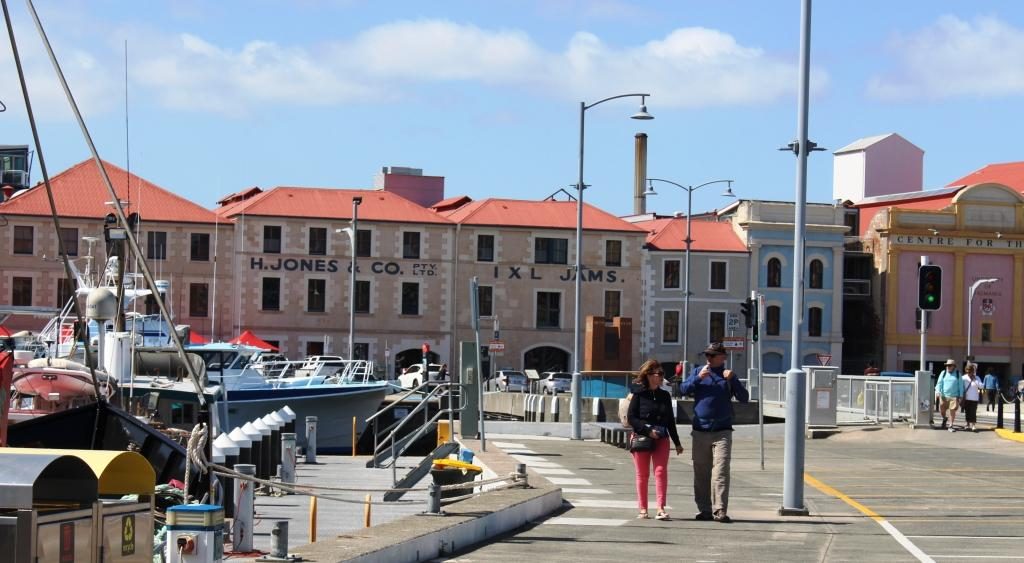
The old Henry Jones IXL building is now a the up market Henry Jones Art Hotel

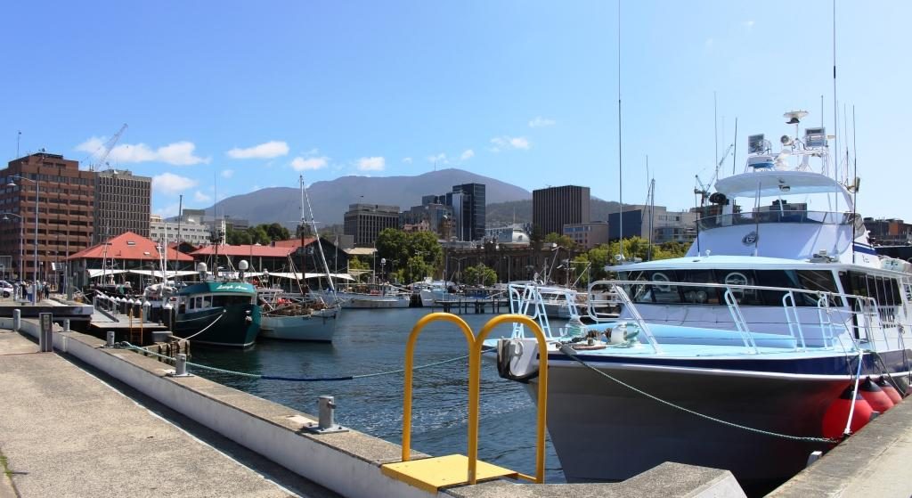
The day was cool but sunny in the afternoon. Despite car parking spaces being full there did not seem to be many people about. The dock area has many eating establishment, plus museums, boat cruises and shopping.

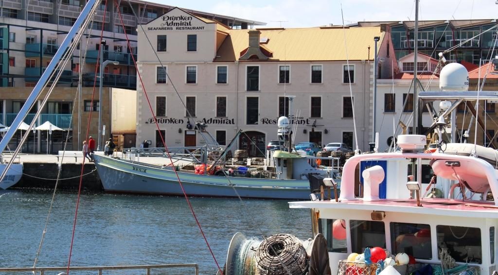
The Drunken Admiral Restaurant behind boats of the Hobart fishing fleet
Dock, city and mountain

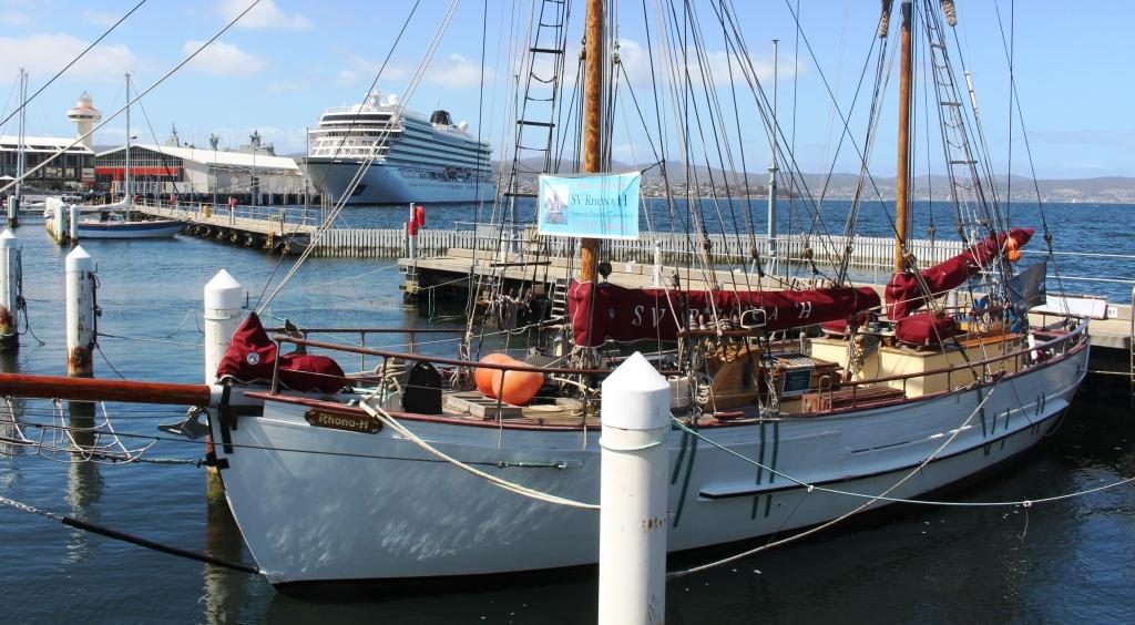
The cruise ship Viking Queen was in port but any resulting increase to the pedestrian traffic was not noticeable.  We alternatively wandered and sat, snapping photos all the while.

The cruise ship Viking Queen viewed through the rigging of the sail training vessel Rhona H

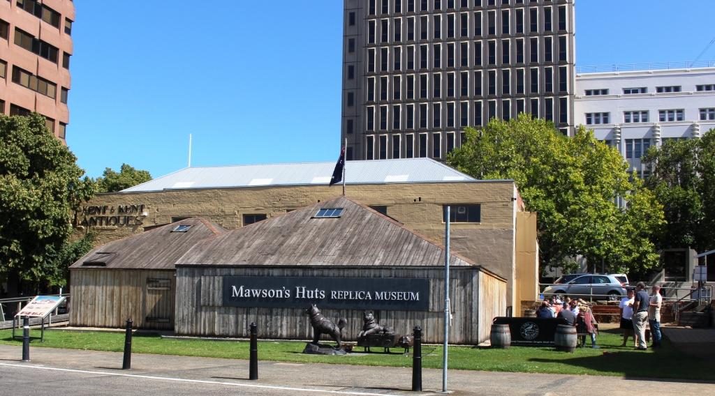
Situated directly behind the Constitution Dock area is a replica of the hut built by Sir Douglas Mawson and his group of polar explorers during the voyage to Antarctica during the period 1911 to 1914. We didn’t tour it, but it is an exact replica and houses a display of artifacks relating to Antarctica and the expedition. Hobart is the port from which services to Australia’s Antarctic bases are provided.

Hobart replica of the hut that Sir Douglas Mawson built during his 1911 to 1914 expedition to Antarctica

Ruth’s sister Judy had suggested we visit the old signal station on Mount Nelson, so we decided to go home that way. The observation point provides excellent views of the maritime approaches to Hobart. Judy also mentioned Devonshire teas at the cafe at the the car park. We can recommend them as well. There are excellent views from the observation area and the cafe.

Bruny Island in the foreground and the South Arm Peninsula, in the background. The mouth of the Derwent River lies between. The d’Entrecasteaux Chanel separates Bruny Island from the main island of Tasmania

We then dropped down to the coast road at Wrest Point (literally, the road was very steep) and drove down the coast to Taroona. We didn’t realise that we were almost down to the historic shot tower, but a visit to the tower was on the list of things to do coming back through Hobart, after we had been south to the Huon Valley and Bruny Island.

We then returned to the unit for a quiet evening.

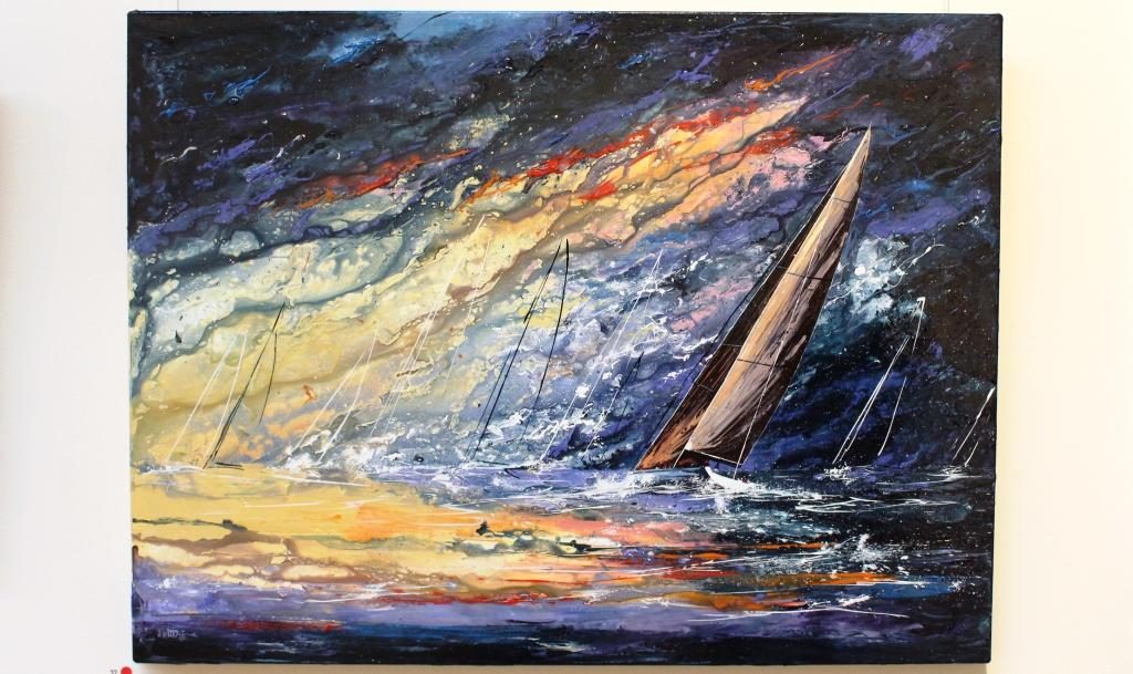
A painting of racing yachts in the Maritime Museum

We returned to the city on Monday morning, found a long term parking space and made our way to the Tasmania Maritime Museum. This interesting place is conveniently located over the street from the Information Centre. There is a huge amount of nautical material to absorb, much of it historical. Some was familiar, some new. But it took up the early part of the morning.
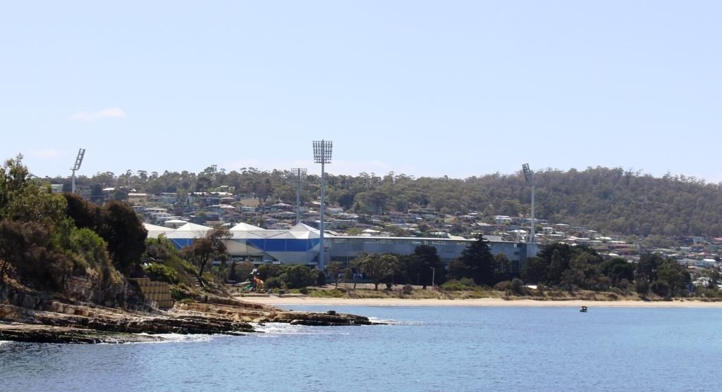
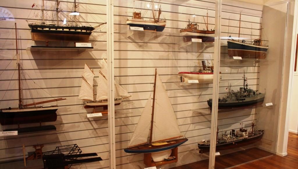
Models of boats in the Museum
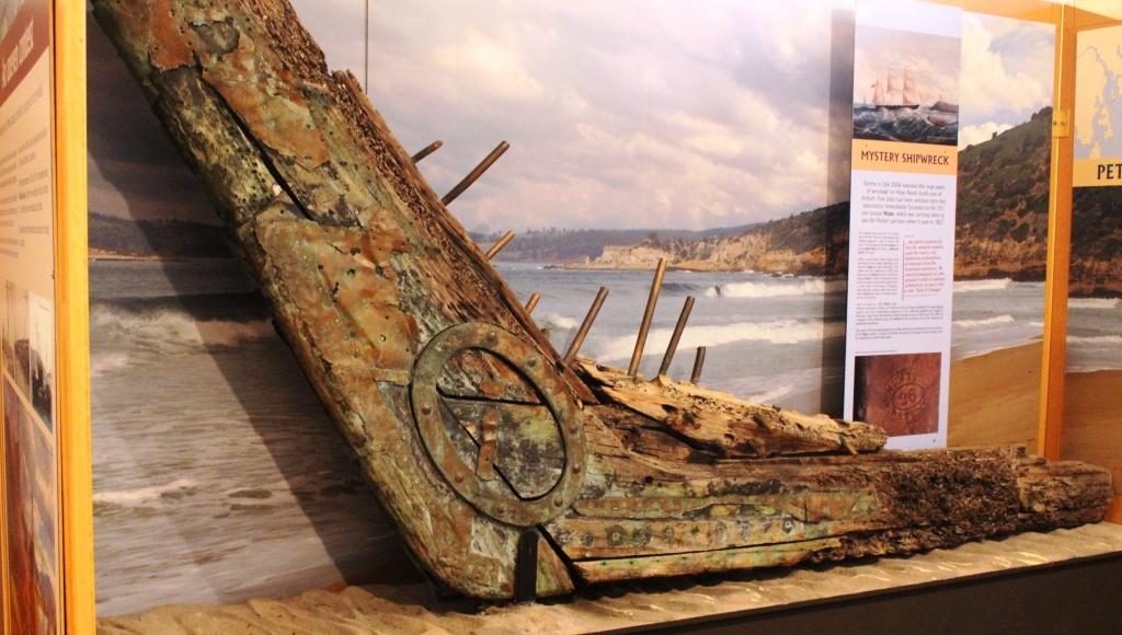
This is part of bow and keel from an unidentified wreck in Tasmanian waters

We had a late coffee and a walk before boarding the Spirit of Hobart for a 90 minute luncheon cruise. The route took us over the Derwent estuary area, both upstream and downstream of the harbour, being informed as we dined about a huge range of historical, political and social happenings. Part of the trip crossed the finishing line of the Sydney Hobart Yacht Race, but going the opposite direction to competing yachts. The lunch was excellent. The trip was really good value.
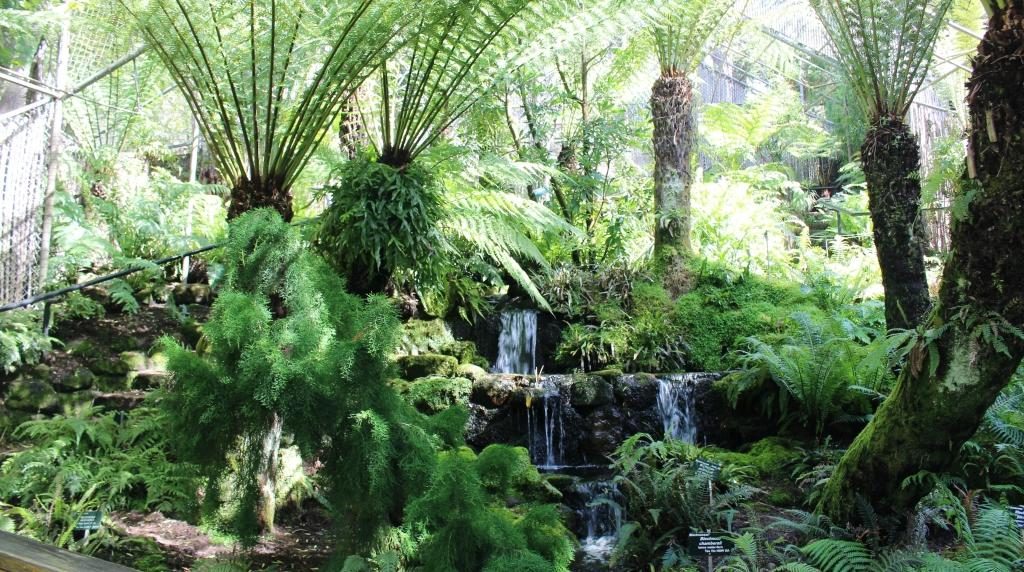
The saloon area of the Spirit of Hobart
The judges box at the finishing line for the Sydney Hobart Yacht Race
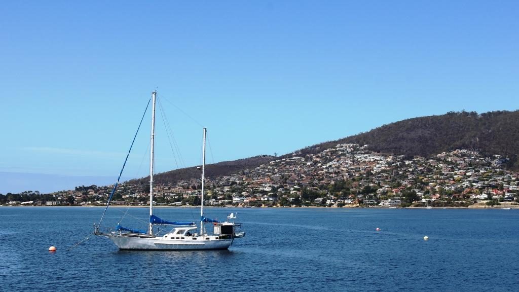
A moored yacht with some of Hobart’s southern suburbs in the background. They would get a great view of finishing Sydney Hobart yachts from those homes.
The former Hobart Cricket ground at Bellerieve is now an all purpose stadium
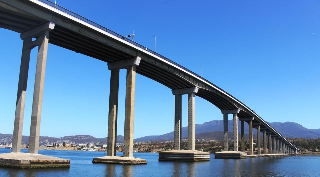
Passing under the Tasman Bridge

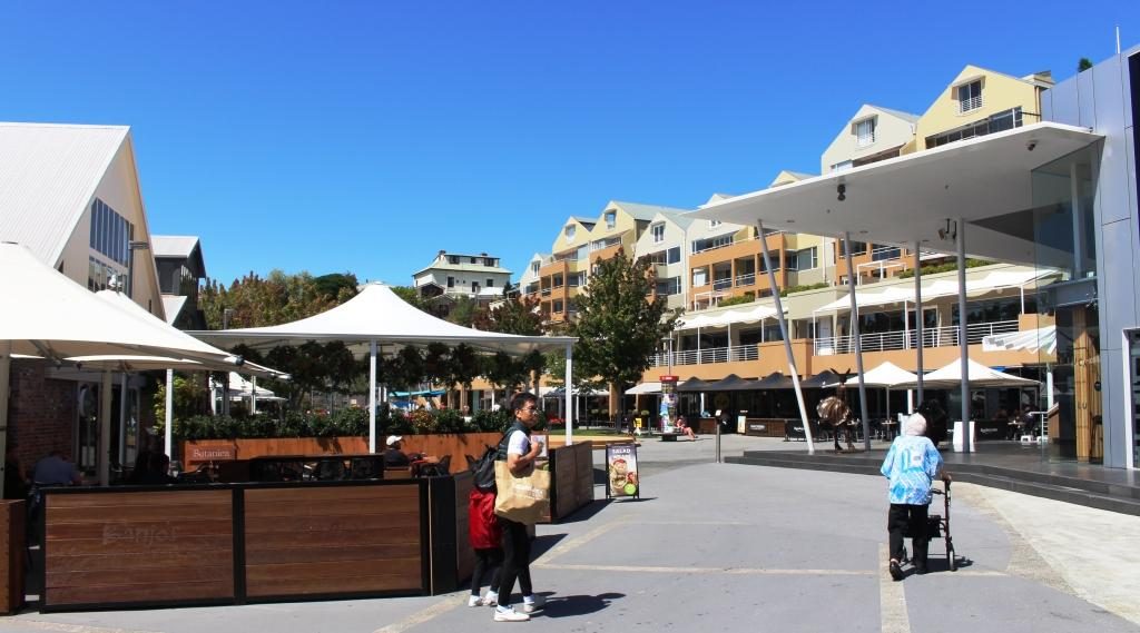
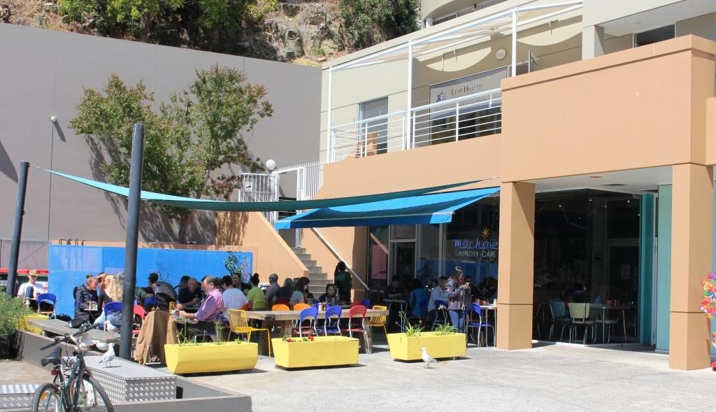
Back on shore, we took the short walk to the Salamanca precinct where old warehouse buildings have been converted to up stairs apartments and to commercial premises down stairs. Many of the businesses are food related. One interesting place is a laundry cafe. Lunch or snacks while the washing machine and the dryer churn seemed to be popular.

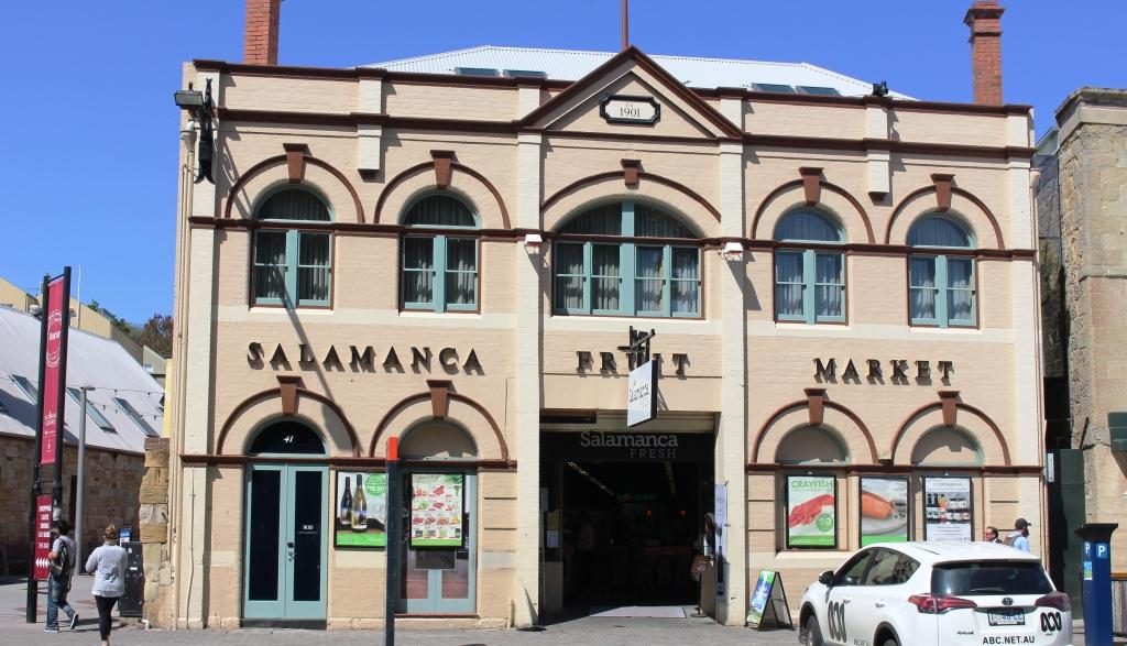
Salamanca Fruit Market
Courtyard area at Salamanca Markets.
The Salamanca laundry cafe

With some time still left to the afternoon, we drove out to the convict women’s prison at Cascade. Traffic was thick on near city streets because of an accident, so by the time we arrived there was only 20 minutes till closing time. The place is heritage listed and looked interesting so we decided to return the next day. About 10,000 female convicts were sent to Hobart.

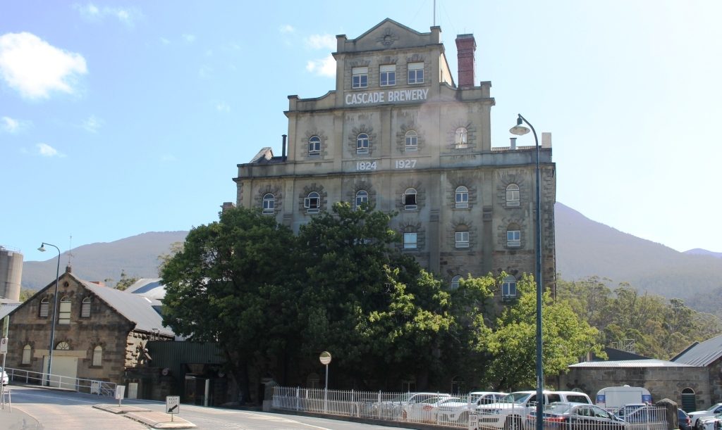
Original buildings at Cascade Brewery

Since we were in Cascade we went another 500 metres or so to take a look at Cascade Brewery. It proved to be a quite substantial establishment. Judging by the size of a tour group that we saw the tours are popular. No doubt a sample of the product is included.

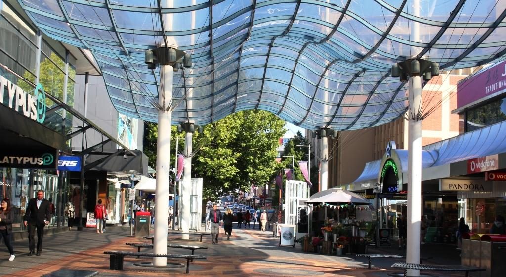
Covered portion of the Hobart city mall

Tuesday was our last day in Hobart, so we started in the city centre, checking shops for a couple of things that we needed. But a city centre is a city centre and they are all similar. From those many years ago when we toured Tasmania I recalled the Cat and Fiddle arcade as a sort of quirky kind of place. We found it again but it is now quite bland. Just a mall with shops.

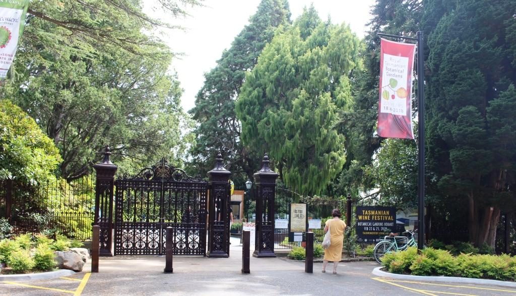
The main gate of the Hobart Botanical Gardens

Next stop was the Botanical Gardens. They are located a short drive from the City and parking was not an issue. We walked through sufficient of the area in a couple of hours to get a good feel for the place. Botanical gardens, particularly those in capital cities, rarely disappoint and Hobart’s effort is no exception.

Fern covered waterfall on the hill side
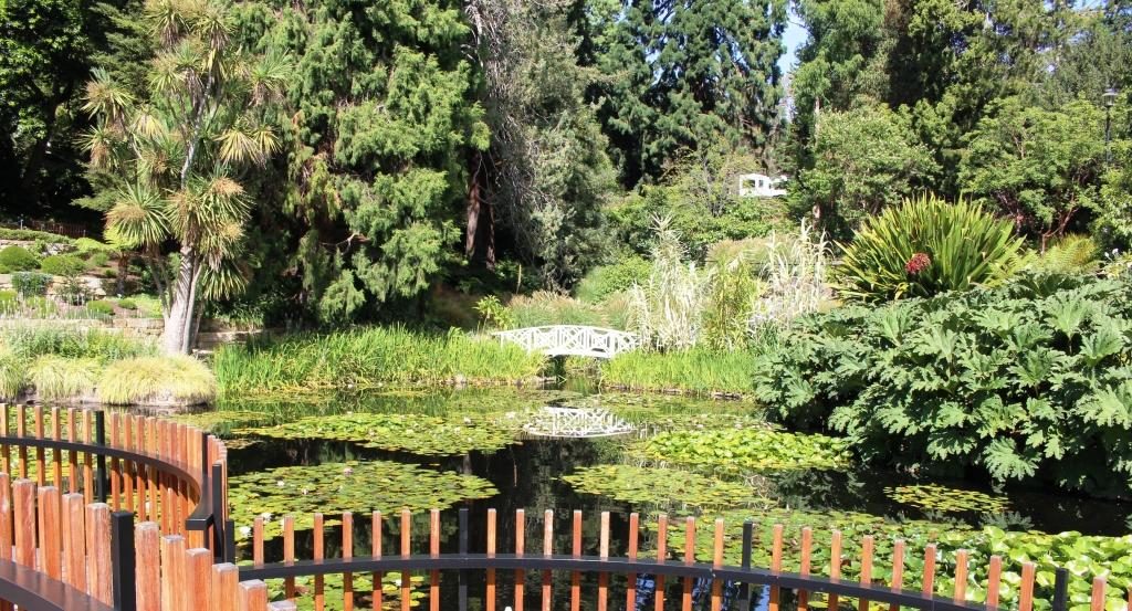
Water Lilly ponds and deck
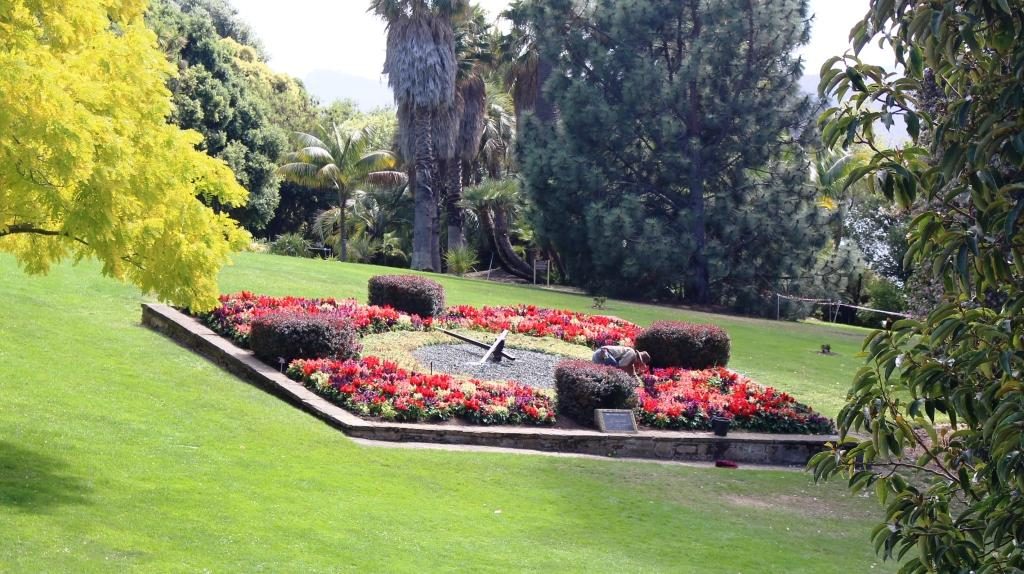
The floral clock. Sorry about the gardener in the photo.
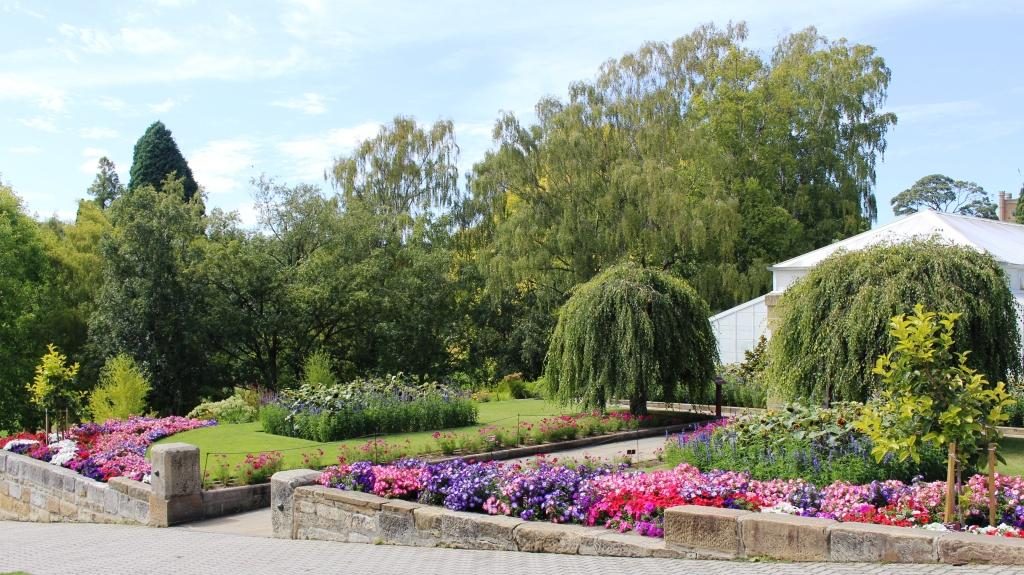
Gardens at the entrance if the conservatory in the gardens

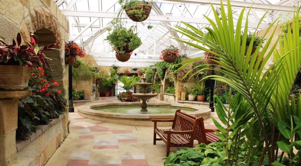
Inside, the conservatory is spacious with seating for those who want to sit for a while.
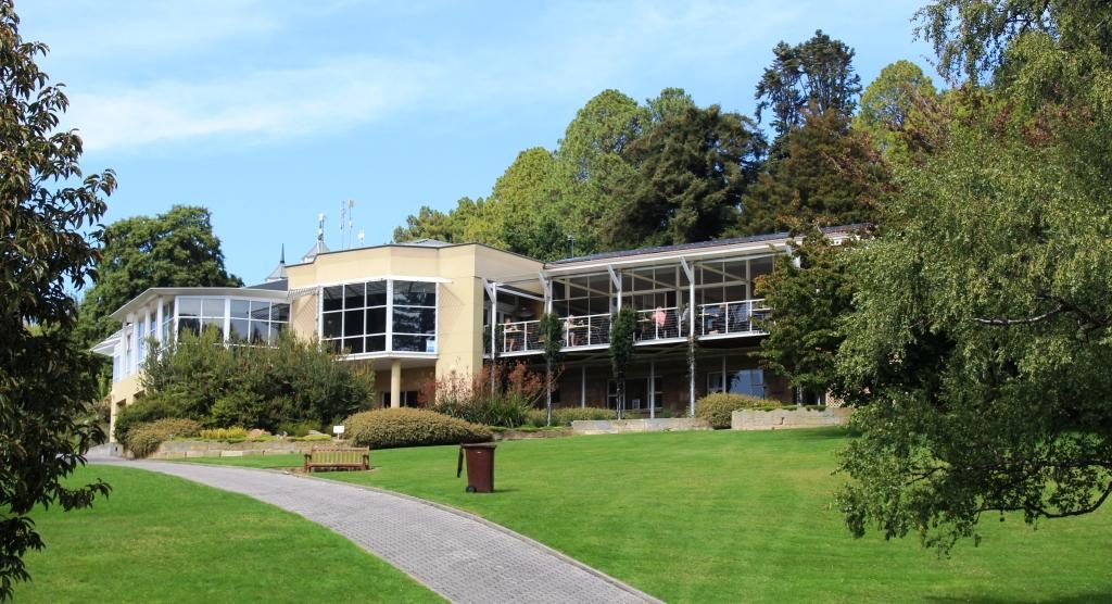
Administration offices, gift shop and cafe
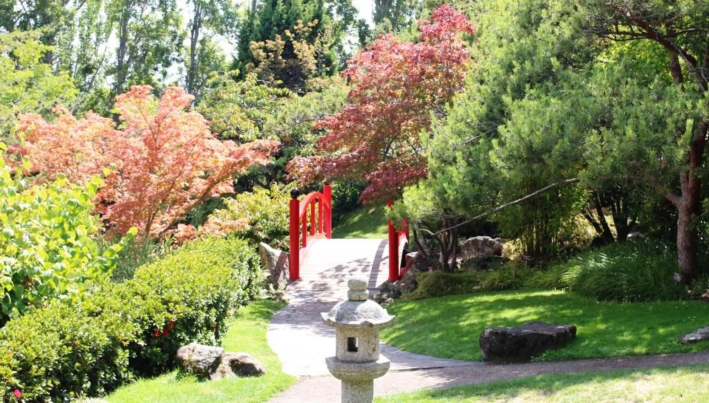
Entrance to the Japanese garden
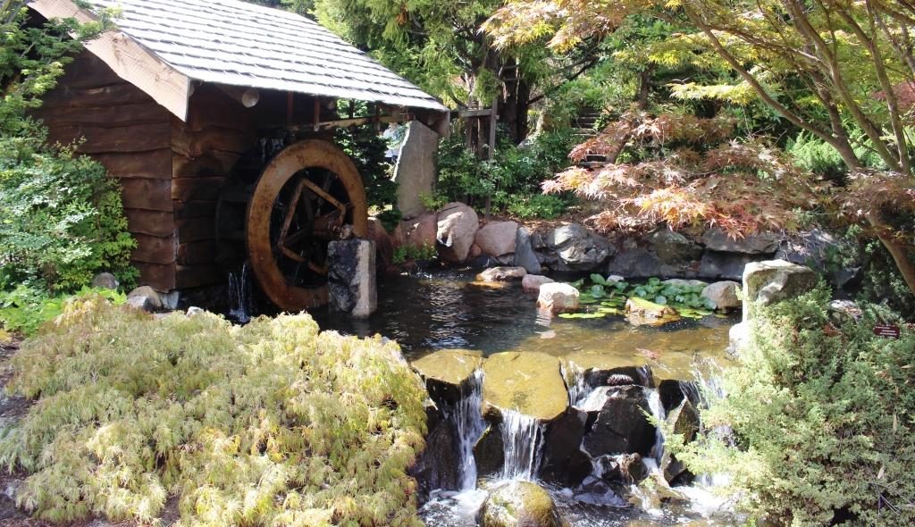
Water wheel and water fall in the Japanese garden

A drive to the northern suburbs followed. We stopped in Glenorchy for some lunch and then came back for a second try at the female convict penitentiary. Back in the day the female convict establishment was called a factory. Placing female convicts into service with Hobart households was part of the transportation plan. To have worked in a factory did not have the stigma of having been an inmate of a prison.

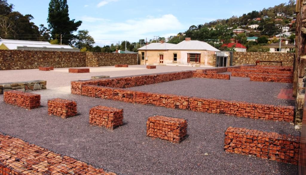
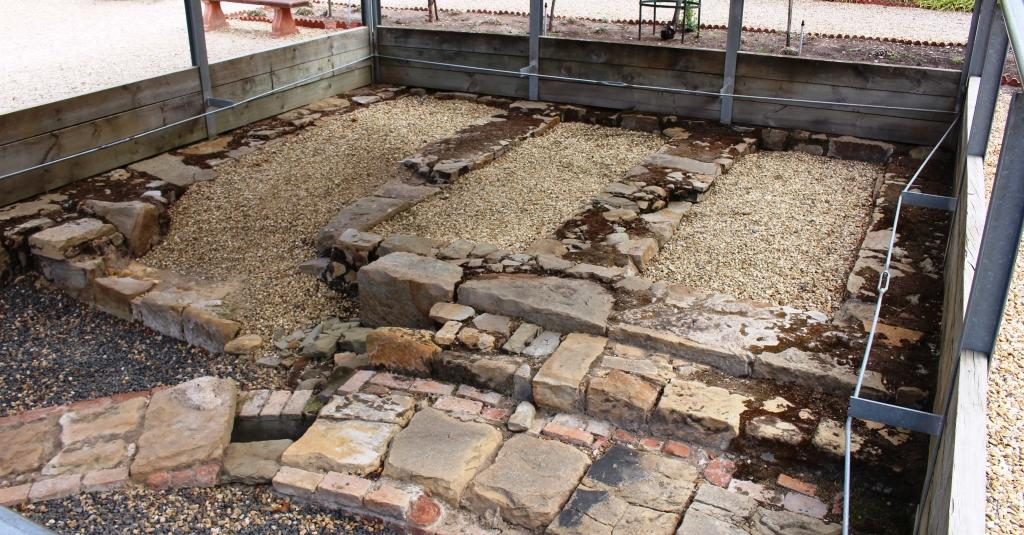
This was the layout of a supervisor’s cottage
The layout of prisoner accommodation buildings with original buildings in the background.
An area of original convict workmanship

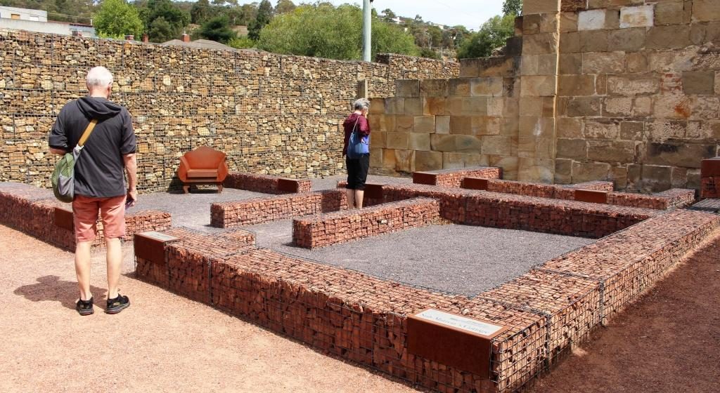
But jails they were, with sentences to be served behind stone walls. A couple of buildings still stand but in most of the area the lay outs of buildings are marked by wire crated stones. Information plaques are widely used to explain it all. It is well worth a visit. Conducted tours are lead by theatre folk, so for a added cost you can have the story told by an actress who will provide a full costumed performance.

South Arm Peninsula over the Derwent, viewed from part way up Mount Wellington

We looked up at Mount Wellington again but its summit was playing tag with cloud. So we drove about half way up to where we were well below the cloud base but there are lookout points provided at the end of a short walk. The views were worth the effort.

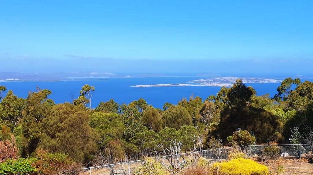
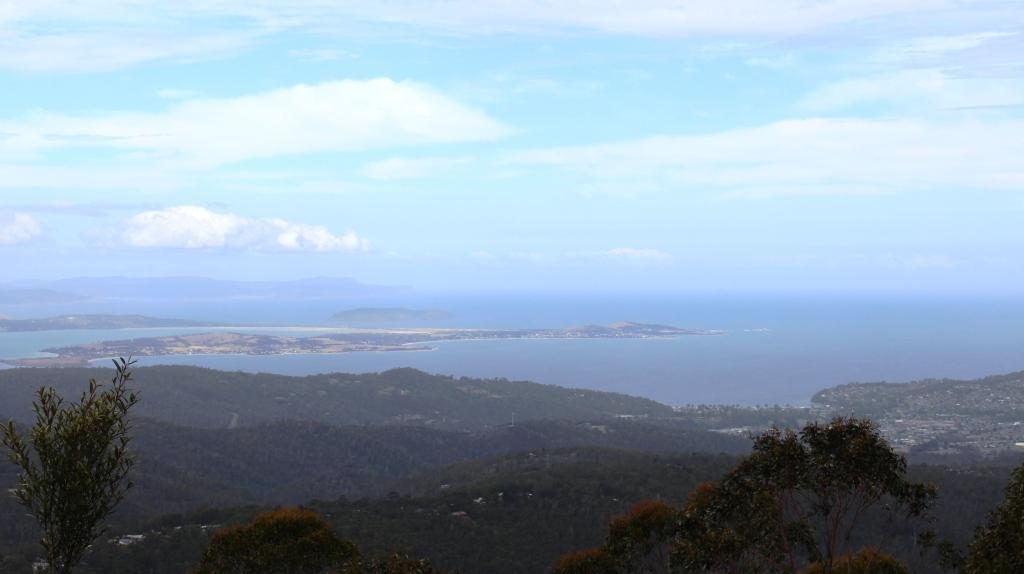
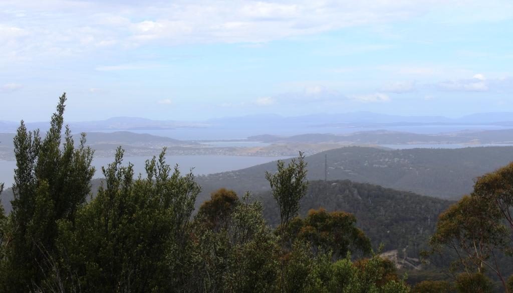
View beyond Hobart and the Derwent over the airport area, Seven Mile Beach and the Tasman Peninsula

We concluded our stay in Hobart by dining out in the evening at The Drunken Admiral Restaurant. Located in one of the wharf side buildings, this well known eatery has been in continuous operation for over forty years. I had dined there when in Hobart on business early in its life, so decided to take Ruth there. I chose the same dish as on the previous visit, the signature dish of seafood chowder. It was as I remembered. The waitress assured me that the recipe had not changed.

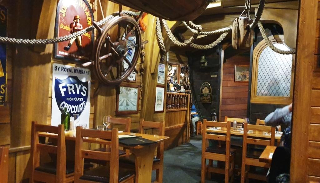
Neighbouring tables at The Drunken Admiral where we went to dinner.
https://youtu.be/dCds8NTvSPU