When we bought our current van we had warmer climes in mind, so we didn’t pay much attention to heating. Cooling was more important, so air-conditioning was fitted. Heating is now provided by either aircon on reverse cycle or the $20 fan heater from Bunnings. The $20 heater wins hands down.
As a consequence of about 10 consecutive mornings of around zero degrees, and that our travel plans, if followed, would require several nights away from power, a new plans was called for. We were already on Plan B so Plan C was essential to our cumfort. The answer was a no brainer, of course. Go north!
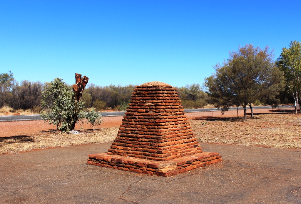
A monument to John McDowell Stuart beside the highway north from Alice Springs. Reminders of Stuart’s explorations are scattered through the area
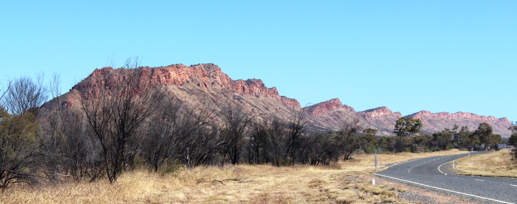
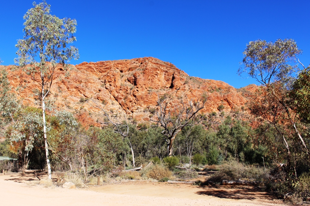
Research on the Weather Channel app indicated that to drive 500 km north to Tennant Creek would improve the minimum temperature by about 10 degrees. Alice Springs is quite elevated. Most mornings it felt like it was above the snow line.
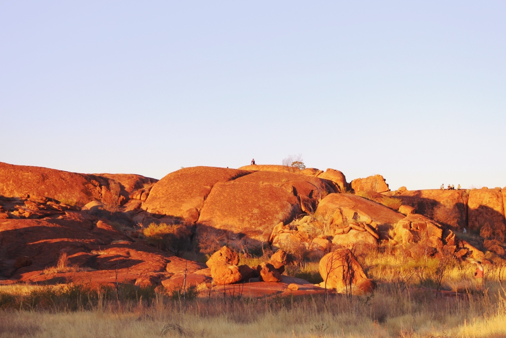
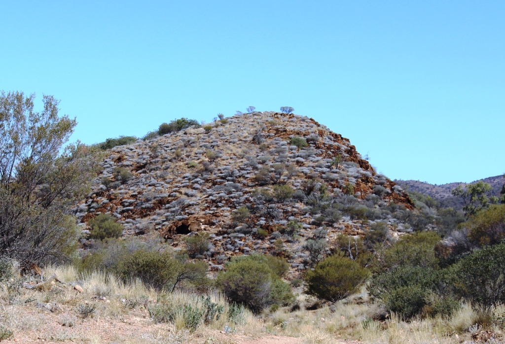
A solitary sunset watcher on one of the highest Marbles
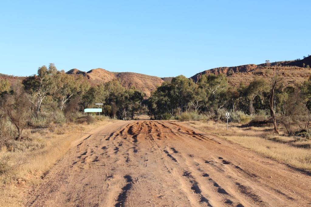
So we headed north. Last time we departed Alice Springs heading north we were travelling in company with friends who had a need to return to Brisbane, so we put in a couple of long days with them. This departure was more leisurely.
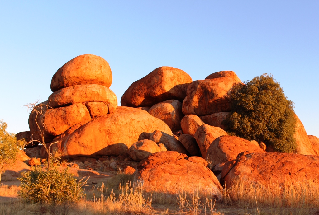
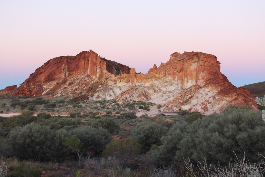
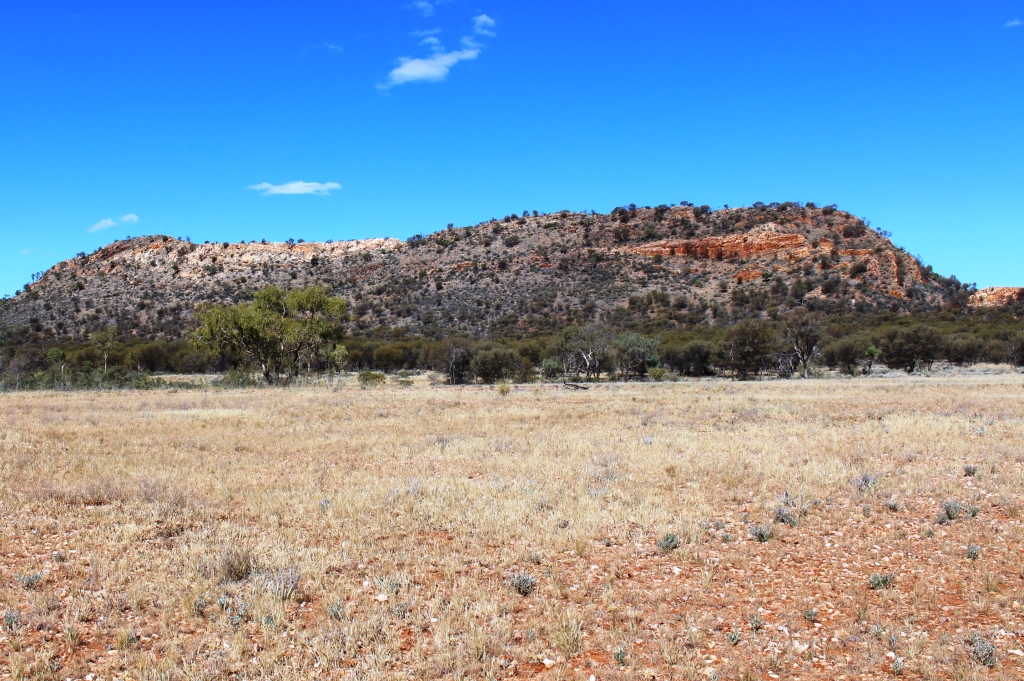
Piles of “marbles” lit by the setting sun
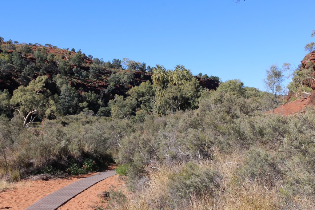
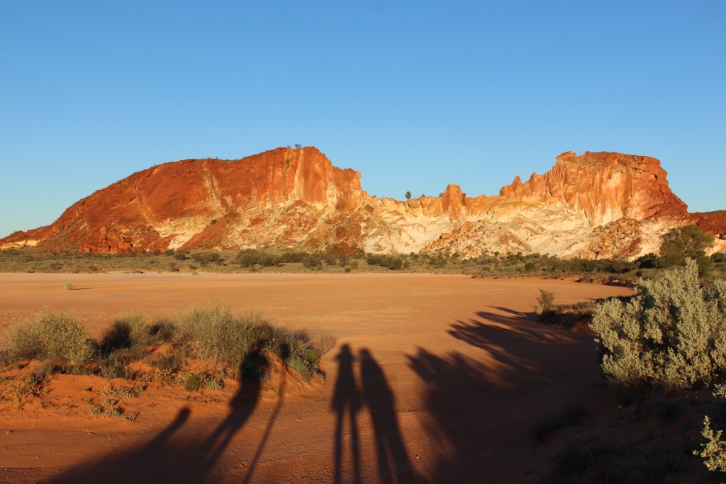
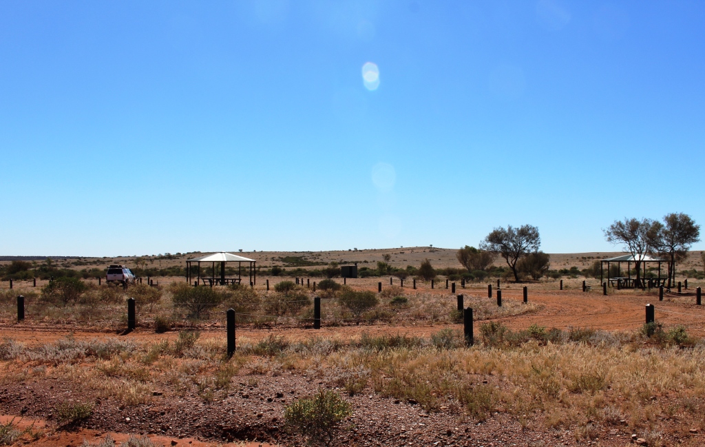
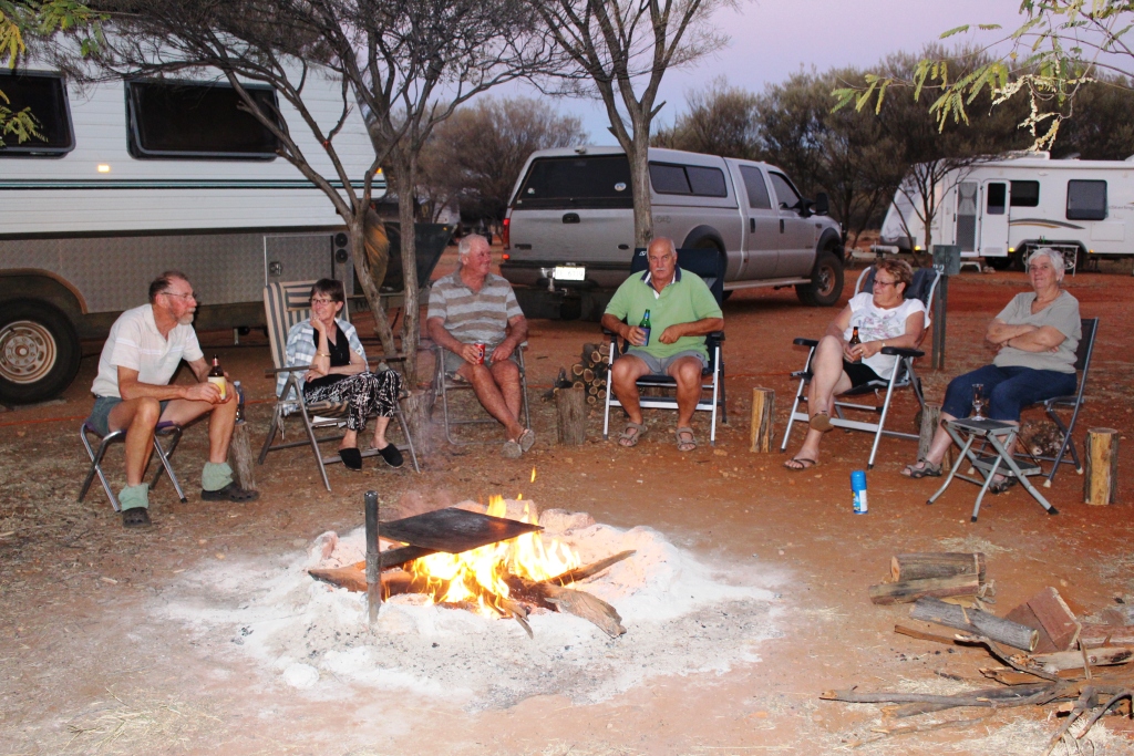
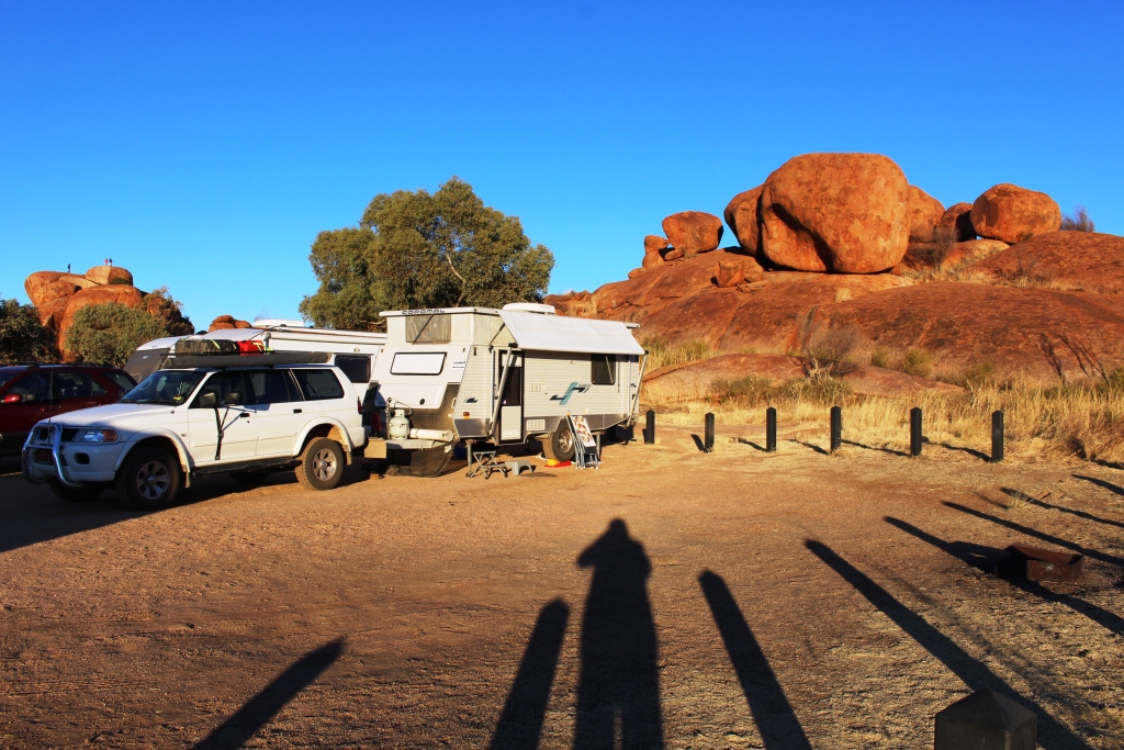
On an impulse and because of the promise of higher minim temperatures, we decided to try for a space in the camping area at the Devil’s Marbles. We were successful, getting the second last
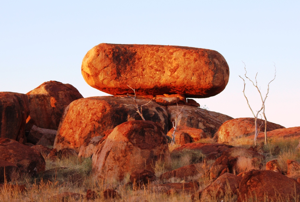
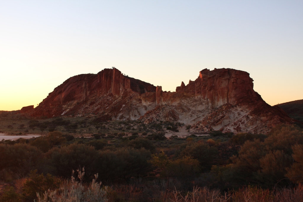
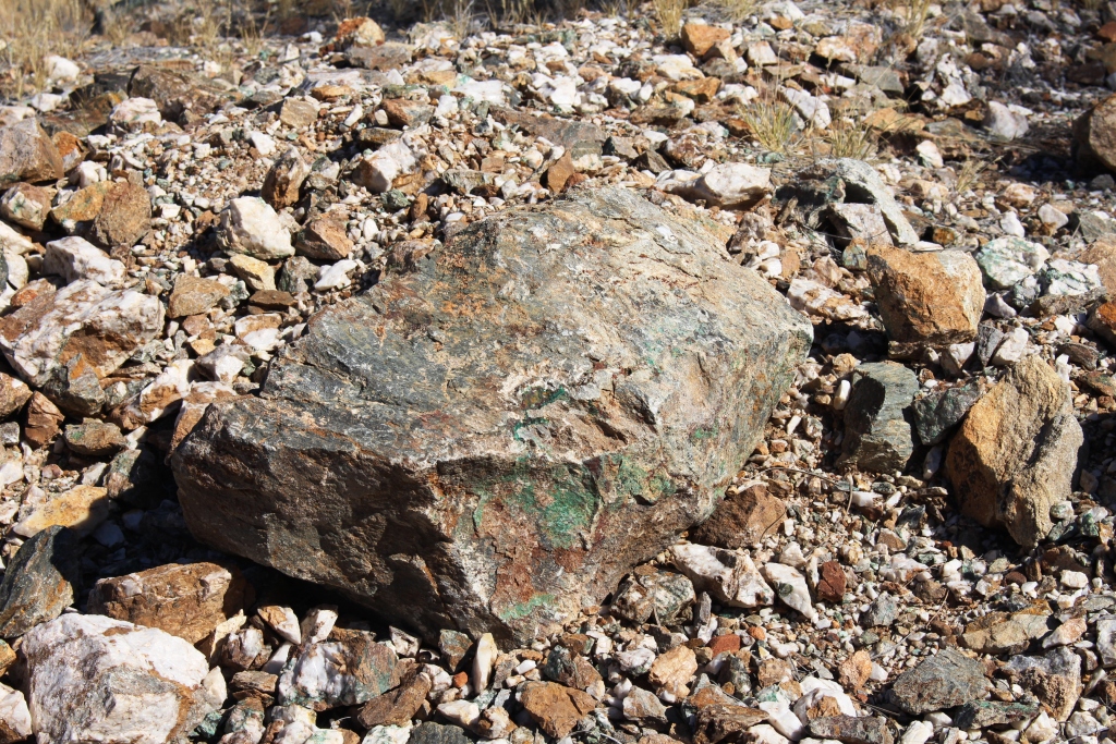
A cap stone not likely to fall any time soon
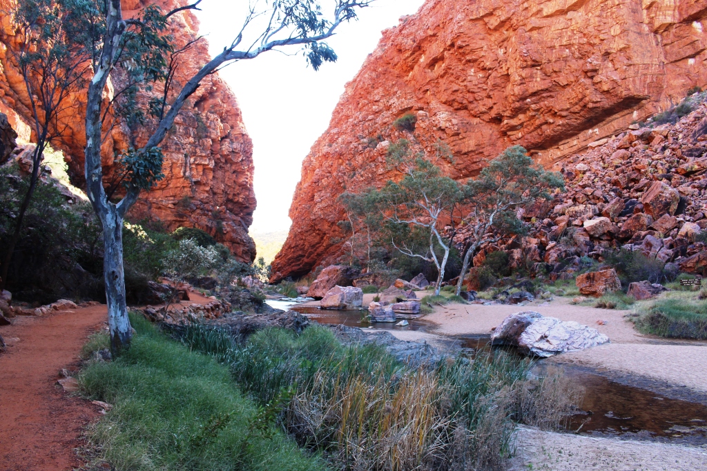
spot from the far end, by a nose. We were attracted to the Marbles by folk who wax lyrical about the wonder of sunrise and sunset light on the unique naturally rounded rocks.
See! I was up early.
Once again my imagination was missing. But having now been there, I think much of the appeal is to those with younger bodies who climb to the vantage points on the highest marbles to watch the sunset. Noticeably fewer climbed to see the sun rise. Perhaps about 8 degrees and a cool breeze had something to do with it.
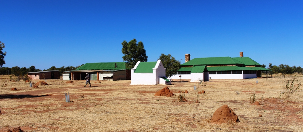
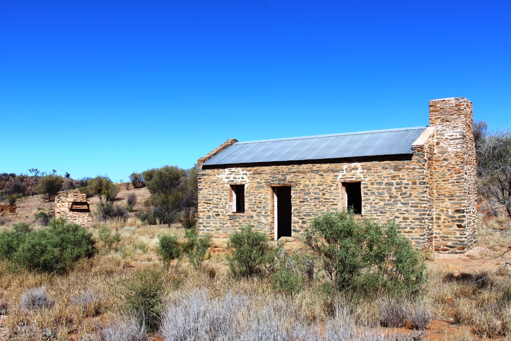
The old Tennant Creek Telegraph Station. The history of the Center is so involved with the Overland Telegraph Line that reminders are everywhere
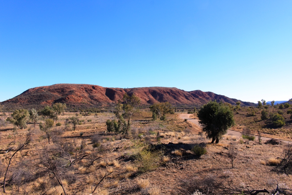
Next day we started out across the Barkley Highway that crosses the Barkley Tableland. This was our second Barkley crossing this trip having crossed it further south via

The caravan parking area at Barkley Homestead
the Donohue and Plenty Highways. About halfway across, at the junction with the Tablelands Highway, Barkley Homestead offers its services to the travelling public. It is a homestead no longer, but a roadhouse, superior in quality to many similar establishments in the area, and offering a full range of price competitive services. Even petrol prices were in line with those of Tennant Creek and Mount Isa, slightly higher, but reasonable
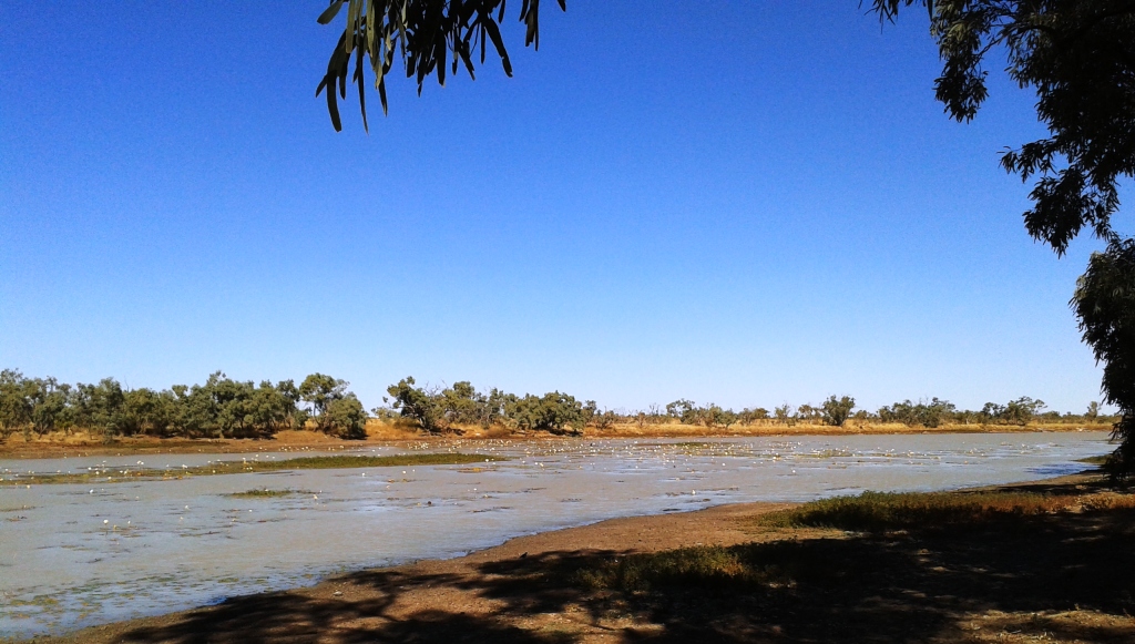
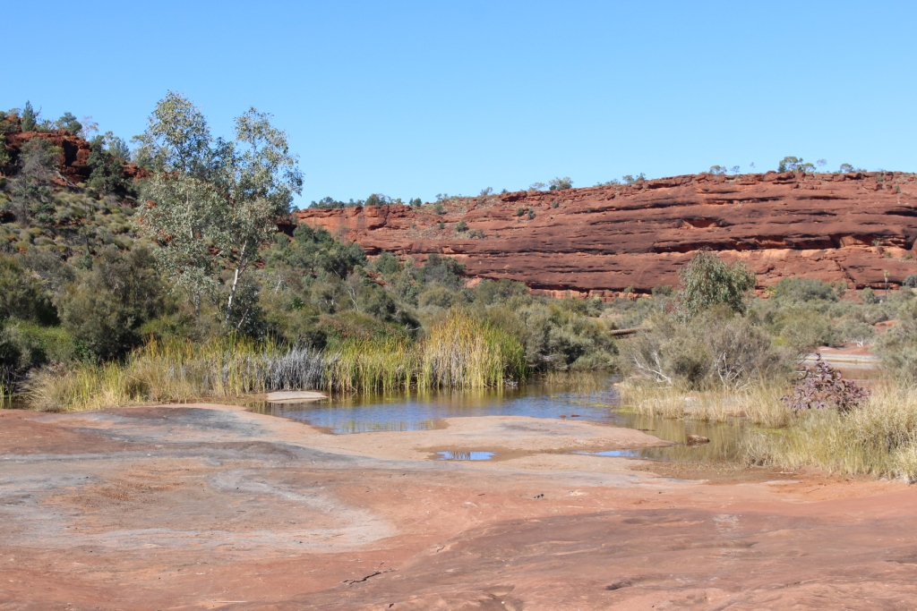
Water lilies on Camooweal billabong
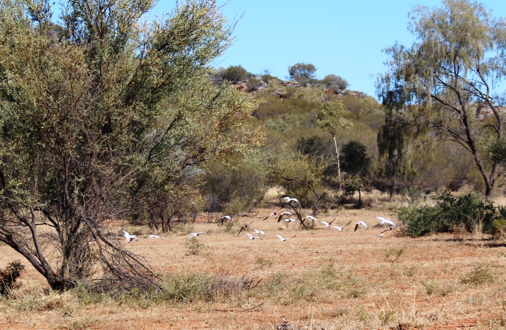
The next night was spent beside the Camooweal Billabong with a substantial number of Australia’s caravan owners. As a stopover for free campers the place is legendary. And with good reason! It hosts huge clumps of water lilies and a range of water birds. Of particular interest was a pair of pelicans doing a synchronized feeding dive as well as a pair of preening brolgas. But they are on video and not immediately available.
All this on the way to a return visit to Adel’s Grove and the Lawn Hill National Park.
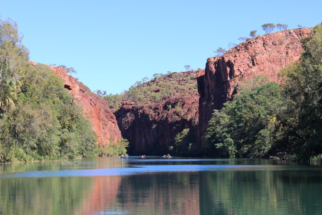
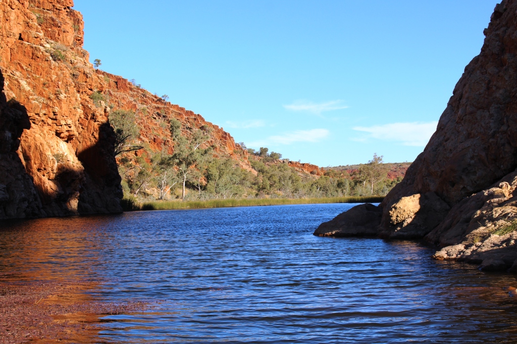
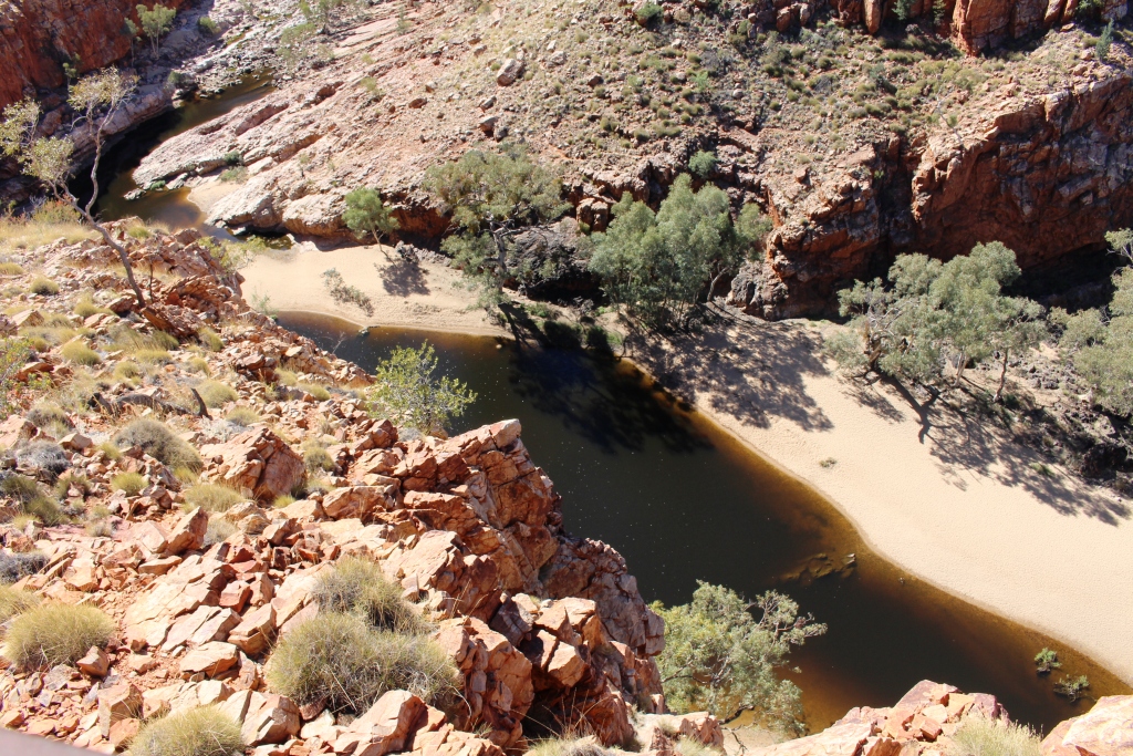
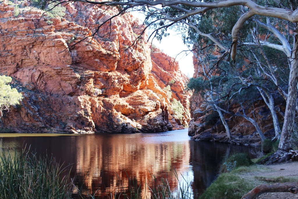
Tranquil waters of Lawn Hill Creek as it flows through the gorge
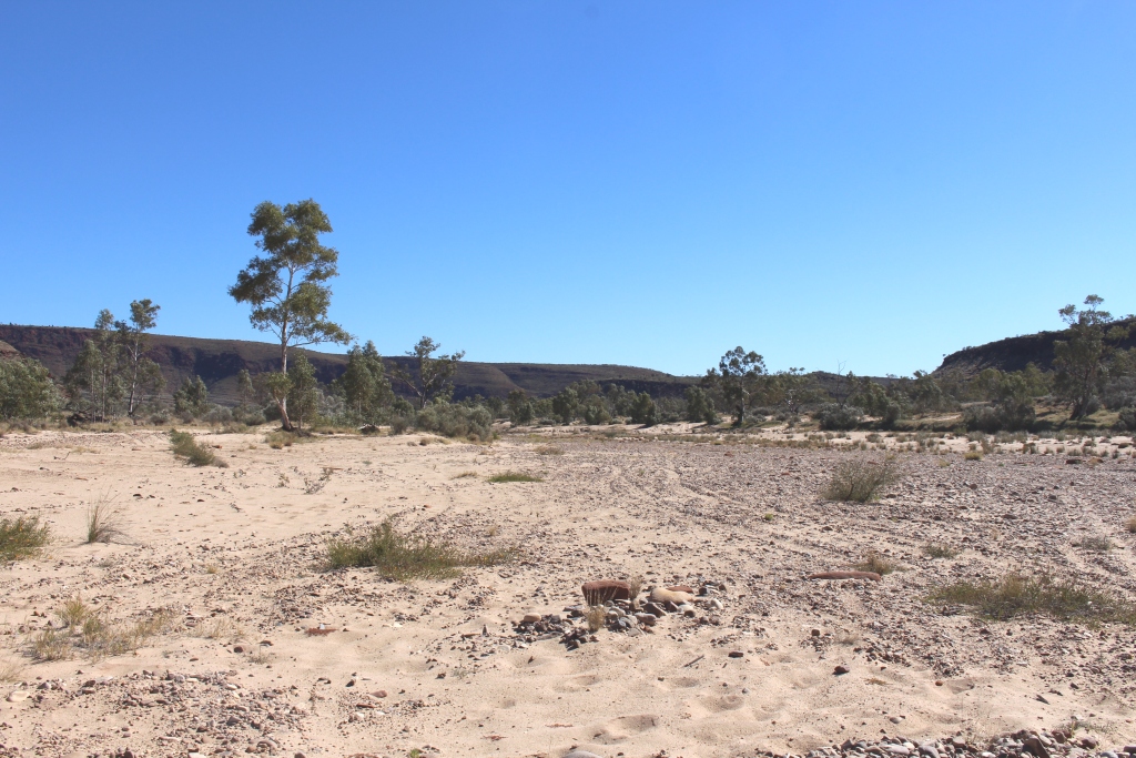
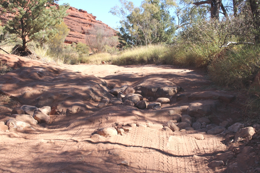
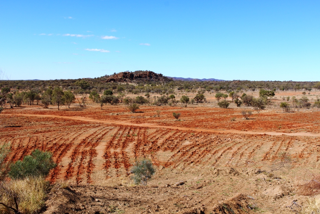
We first visited this natural gem four years ago as a follow on to our first visit to the Red Center. On that occasion we left the van at Burke and Wills Roadhouse and stayed in the cabin accommodation at Adel’s Grove. This time we went in from Camooweal. Of the total distance of about 290 km about half is gravel and rather rough in many places. That made for a slow and dusty journey with frequent oncoming traffic, speeding at the head their personal cloud of dust. A cross wind meant that our dust blew clear of the road while their dust blew into our path often totally obscuring our view of the road. And whatever has become of the once practiced courtesy of slowing down to reduce dust and flying stones.
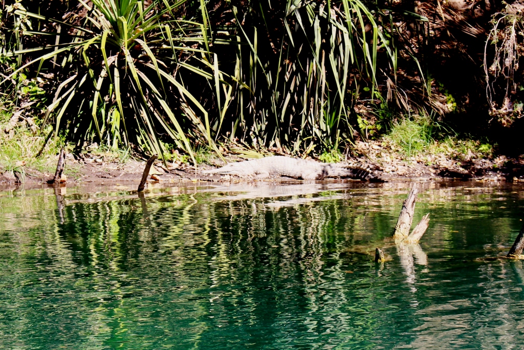
A local resident taking the sun
There are two choices for staying in the Lawn Hill area. NT National Parks have a camping area at Lawn Hill Gorge and Adel’s Grove offers a range of accommodation options. Adel’s Grove is located 10
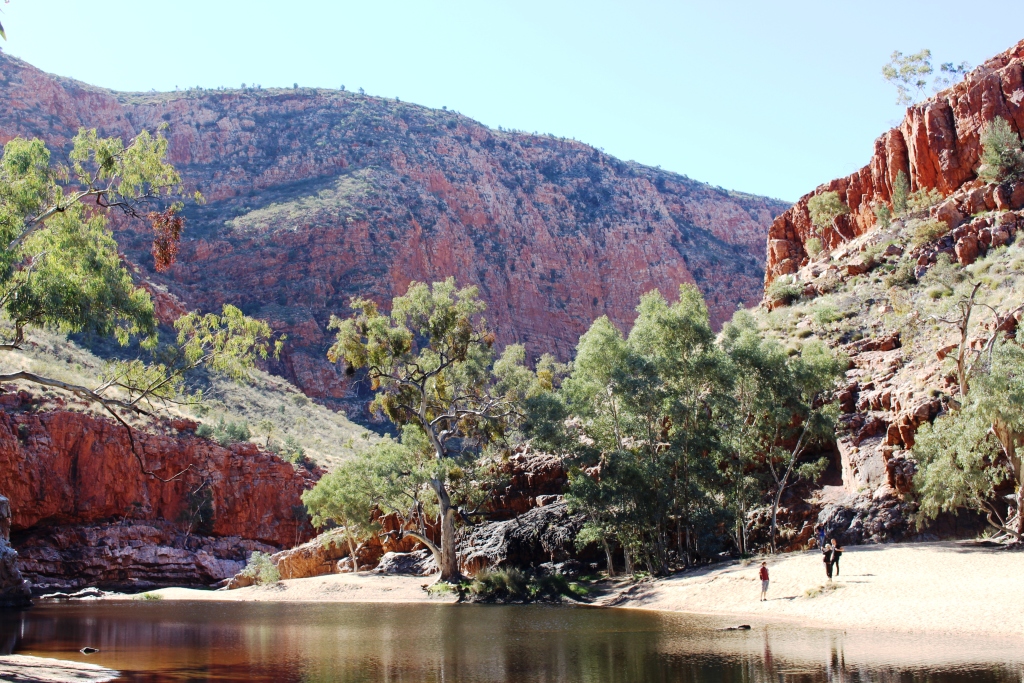
A natural barrier of calcium divides the lower and middle gorges
km before the gorge is reached and is our choice as a place to stay. When we were there it was also the choice of a large team of paleontologists who were there for a dig at the nearby Riversleigh fossil sight. So there was
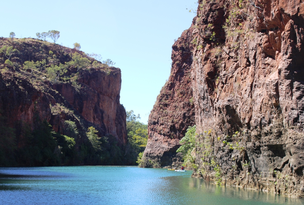
Another view of the gorge
not enough hot water to go around and the restaurant was booked out for the two nights that we were there.
But there are improvements since we last visited. A new amenities block is
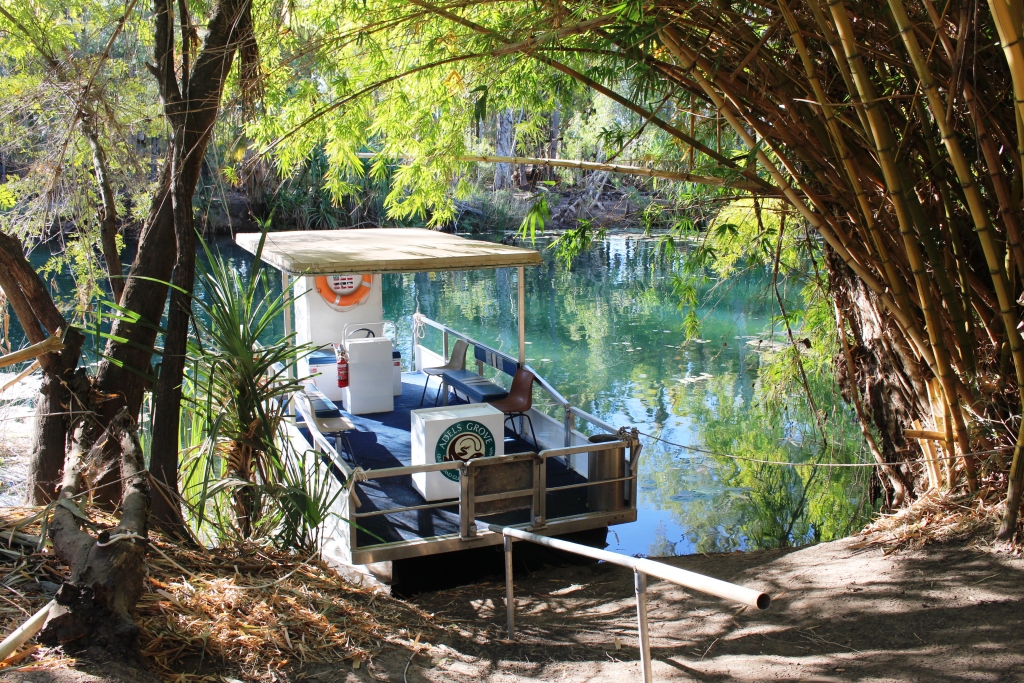
One of the two cruise boats moored in the creek near the resort
a great improvement and a take away shop sells fish and chips and other deep fried food that is probably not good for you. And a brand new service, a cruise boat on the gorge and another on the creek at the Grove. In the past the options for viewing the gorge were canoeing or walking. Now a solar powered boat takes up to 10 people at a time upstream through the gorge to the natural dam that divides the lower and middle gorges. To take the cruise is an hour well spent. At $35 per adult it is good value. The range of small coach tours has been expanded and now include one to the nearby Century zinc mine.
We departed Adel’s Grove to the east through Gregory Downs and the intersection of the Burke and Wills Developmental Roads. The 70 km of gravel was in much better condition than the road in from Camooweal, particularly after you pass the turn to the Century Zinc Mine. We travelled back south to Cloncurry where we spent a night before going back west to Mount Isa for a few days.
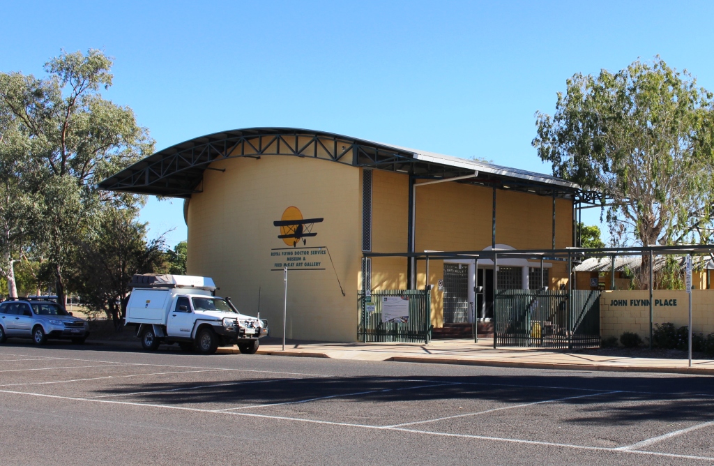
The John Flynn Memorial Museum in Cloncurry
The overnight stop in Cloncurry provided an opportunity to visit the Dr. John Flynn Memorial Museum. The first Flying Doctor flight took place in Cloncurry. H.V. McKay of Sunshine Harvester Company fame had left 2,000 pounds to Flynn to start the service, to be available if the Presbyterian Church raised another 3,000 pounds. With fund raising complete, Hudson Fysh (later Sir Hudson) who had commenced the air service that became Qantas, made an aircraft available and what we now know as the Royal Flying Doctor Service was born. Flynn! McKay! Fysh! All towering figures in their fields! No wonder the R.F.D.S has become such a success.
If you visit Cloncurry, the museum is worth some of your time. It tells the story in detail and is supplemented by a fine art collection. We have visited Flynn’s grave near Alice Springs, the memorial to him by the Stuart Highway north of Tennant Creek and the small town of Beltana in South Australia where the R.F.D.S concept was born in Flynn’s mind. To finally visit the memorial museum was a very special experience.