Sydney 2014 – Day 10 – 26th January – Katoomba

Our strategy for avoiding hot weather by staying in the mountains is working all too well. The minimum was 9C at Katoomba last night. We could hear moisture dripping during the night but could not hear rain, so guessed that there was a heavy fog. We were correct. A heavy fog had blanketed the entire area. It did not lift until after lunch and even then the valleys held large fog banks and the cloud base was sitting on top of the higher mountain ranges. With conditions so unsuitable for sightseeing during the morning we stayed in the van for the most part and gave the heater a work out. After lunch the conditions had improved so we set off to look around.
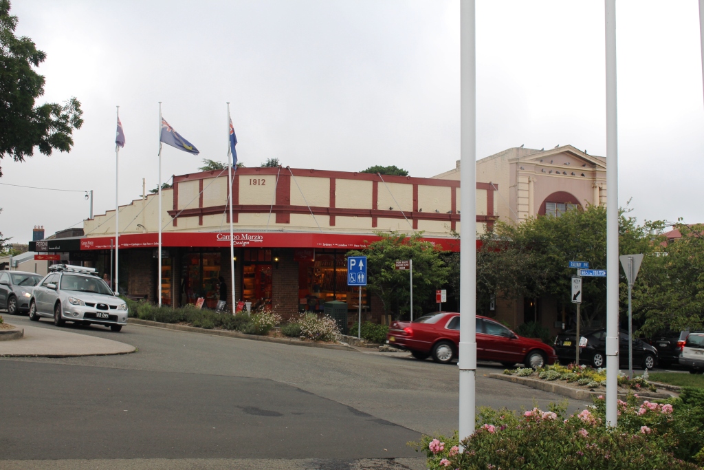
Top of the Leura Mall. The mall is on a fairly steep hillside.

Top of the Leura Mall. The mall is on a fairly steep hillside.


The caravan park is at Katoomba Falls and right near the Skyway and Scenic Railway. The best view of the valleys and cliffs is from the Cliff Drive that follows the top of the escarpment and takes in many of the iconic locations. We looked in at Leura Falls, Gordon Falls and Sublime Point and did a leisurely walk around Leura Mall. That, incidentally, is the name of the street that runs through the main shopping area, not some fancy title for a modern development.

Leura Mall. Not a spare car parking space in sight.

Leura Mall. Not a spare car parking space in sight.

Development rules are obviously strict as many old buildings remain and have been tastefully renovated and contain the boutiques, coffee shops, restaurants and household goods stores that you will find in most tourist shopping precincts.

We drove past Echo Point, the observation point for the Three Sisters, mainly because it looked as though no one else had driven past. On this public holiday it was a seething mass of humanity. Besides the “Sisters” looked to be obscured by fog.
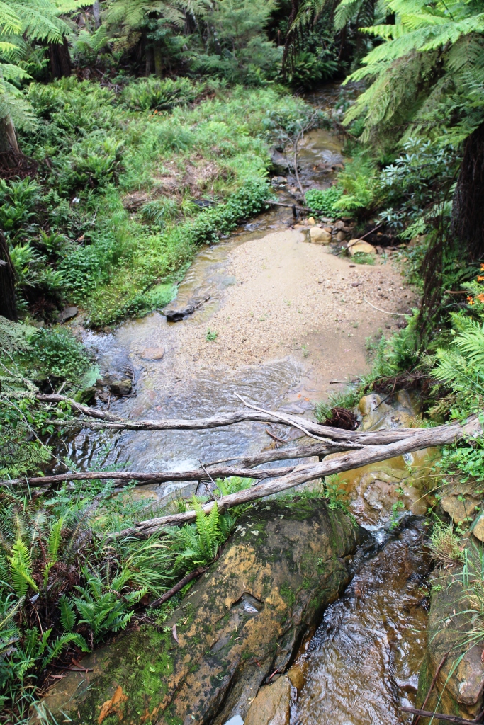
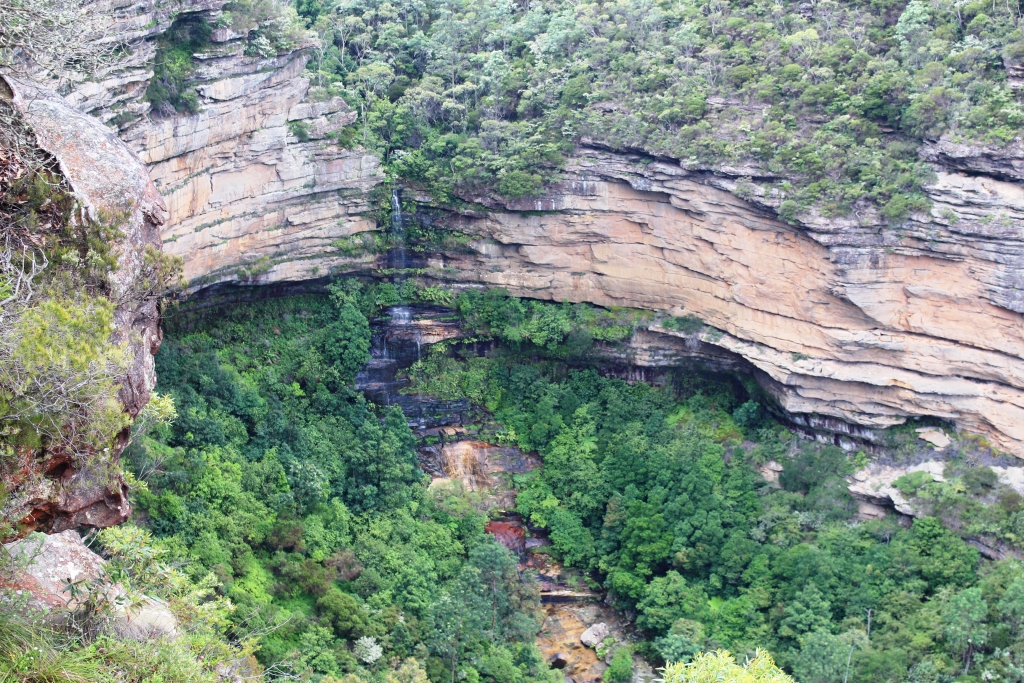
Leura Falls viewed from above.

Leura Falls viewed from above.

Sightseeing in the Blue Mountains can be quite strenuous, as flights of steps or steep inclines need to be negotiated to reach lookouts, waterfalls and other features. So I have seen a bit more than Ruth, but I have taken plenty of photos so I can share.
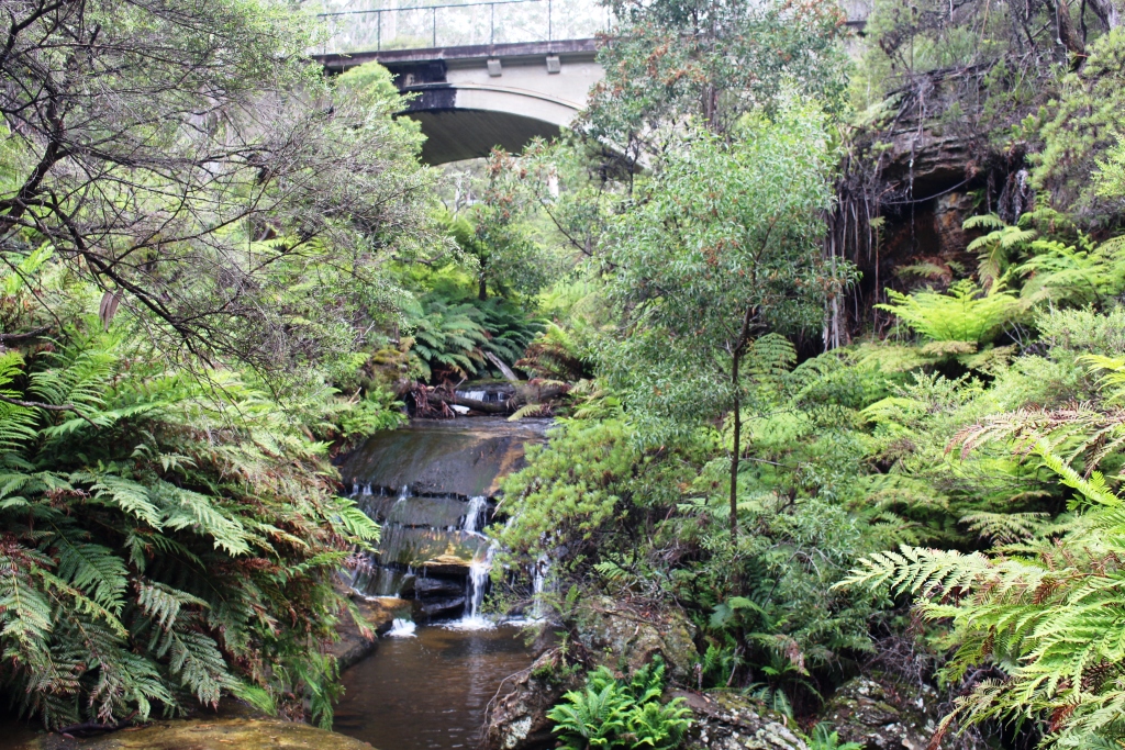
One of the falls in the Leura Falls group of cascades.
One of the falls in the Leura Falls group of cascades.

A converted church in Leura Mall
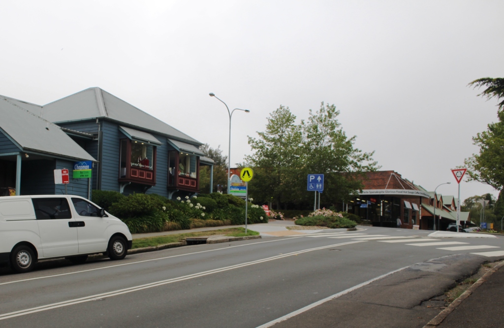
A converted church in Leura Mall


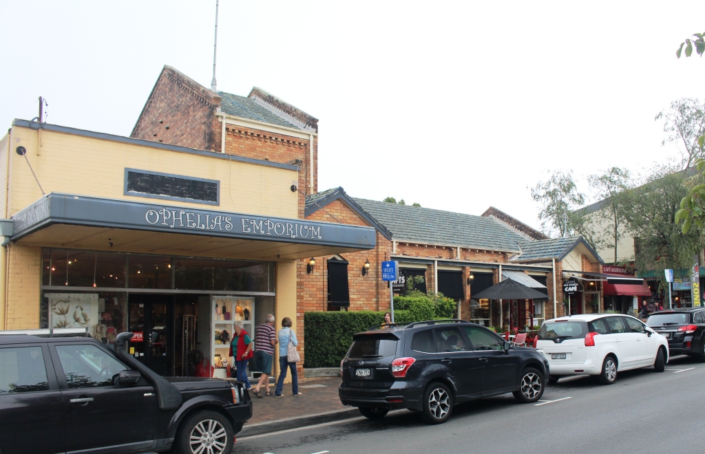
Bottom of Leura Mall

Bottom end of Leura Mall

Gordon Falls viewed from Gordon Falls Lookout.

Gordon Falls viewed from Gordon Falls Lookout.

Sublime Point from Gordon Falls Lookout.
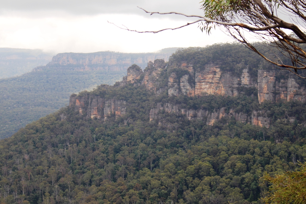
Sublime Point from Gordon Falls Lookout.

The rear view of the Three Sisters from Gordon Falls Lookout.

The rear view of the Three Sisters from Gordon Falls Lookout.


Jamison Valley and Clouds.
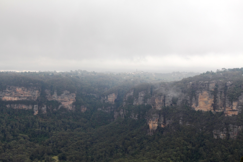
Jamison Valley and Clouds.


Katoomba in the mist from Sublime Point.

Katoomba in the mist from Sublime Point.


Attractive colours in the cliff face. Notes houses with superb views.

Attractive colours in the cliff face. Note houses with superb views.
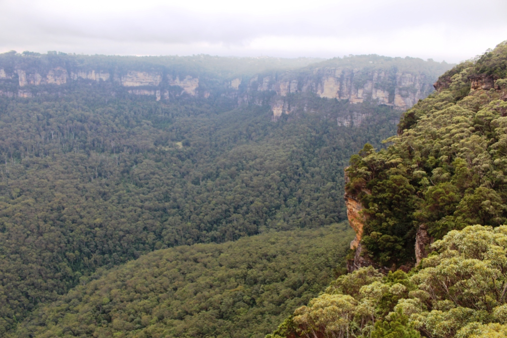
 

View back to Gordon Falls Lookout.

View back to Gordon Falls Lookout.

Clouds remained at mountain top level all day.

Clouds remained at mountain top level all day.
 

Sydney 2014 – Day 9 – 25th January – Toukley to Katoomba

Today’s activity was the drive. For variety we followed the road through The Entrance to Gosford and then followed major highways for the rest of the way. The only bit of excitement was when I took a wrong on ramp in the western suburbs of Sydney and ended up with the sun on the wrong side of the car. But a quick exit and reorientation and we were headed in the right direction again.

Last time we travelled the road to Katoomba there was road works at many places. Most of the work is now finished with only one section still under construction, but after crossing the Nepean River it is up hill all the way , so was a slow journey.

It has been a quiet afternoon. Well, as quiet as a caravan park is when full of families for a long weekend and when it borders a cricket ground where there shouts and cheers whenever a wicket fell. We back onto the community kitchen so meal times are rather noisy. But we are quiet!

Ruth and I honeymooned here almost 52 years ago so there will be some nostalgia in the visit. Driving down the street today much is still the same as then but there is new development as well. When we were here all that time ago we did not have a car, so we now plan to visit some outlying places that we were not able to visit then.

Stand by for the story!

Sydney 2014 – Day 8 – 24th January – The Watagan Mountains

We had planned to take Judy and Alan with us on a drive into the Watagan Ranges for a picnic, but they had commitments that could not conveniently be changed, so we excused them and went by ourselves. We were following an established trek that included features of the Watagan National Park and surrounding state forests. This was another gravel road, and another opportunity to operate the Challenger in 4 wheel drive mode.

A roadside view through the trees

A roadside view through the trees

Our highest altitude during the day was around 550 metres so these mountains are dwarfed by those that we had visited over the last few days. The highlights of the trip were picnic and camping areas and lookouts. There are some areas of semi rain forest but the bush scenery was fairly ordinary. But on this last day before a long weekend the camping areas were filling up so it was easy to see the value of the area to residents of Sydney and Newcastle who are looking for an escape from city congestion.

There had been some rain so the dust was settled but had only produced a few wet spots. The road was in good condition with only a few washed out and corrugated sections. We crossed a number of ranges during the day so the drive was quite varied. As my beginnings were well and truly in the bush I love to return to it. I guess I am revisiting my roots to some extent. I think Ruth, brought up in the city, sometimes wonders what it is all about.

Boarding House Dam picnic area

Boarding House Dam picnic area

We stopped for lunch at Boarding House Dam picnic area. The facilities are set in a glen that could have been a small volcano crater. The stream was dammed many years ago to provide water for a boarding house that  accommodated timber cutters during early logging operations. We drove through regenerated and plantation areas not too far away.

The dam that gives the area its name

The small dam that gives the area its name

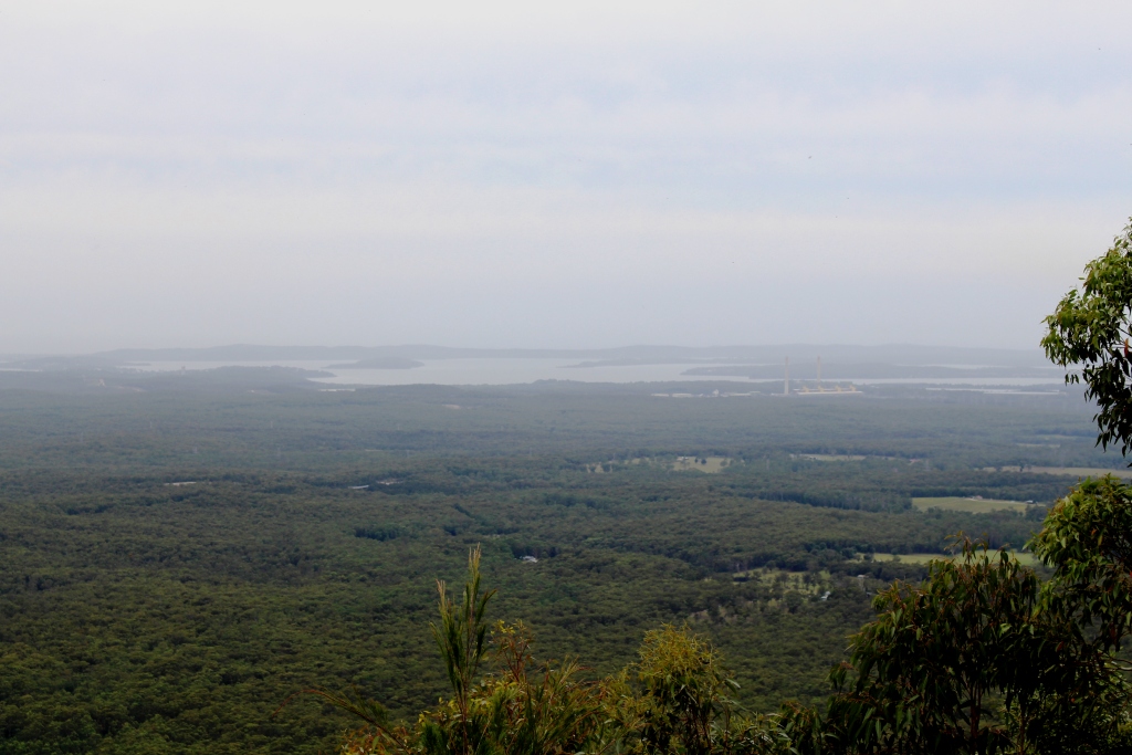
The view from Heaton's Lookout

The view from Heaton’s Lookout

The last feature of the day was Heaton’s Lookout that provides sweeping views over the coastal lakes of the Central Coast of NSW. Unfortunately there was a great deal of haze so the view was not all that good, but worth the drive.

Instead of following the trek back to the Sydney-Newcastle Highway we retraced our steps for few kilometres and drove down the mountain to Cessnock and Pokolbin to have a brief look

An impressive facility at Pokolbin

An impressive facility at Pokolbin

at the Hunter Valley vineyards. In the early years of our residency in Brisbane we often came through this area to avoid the congestion on inadequate roads. It was interesting to see the development and the money that has been spent on cellar door developments at some of the better known wineries.

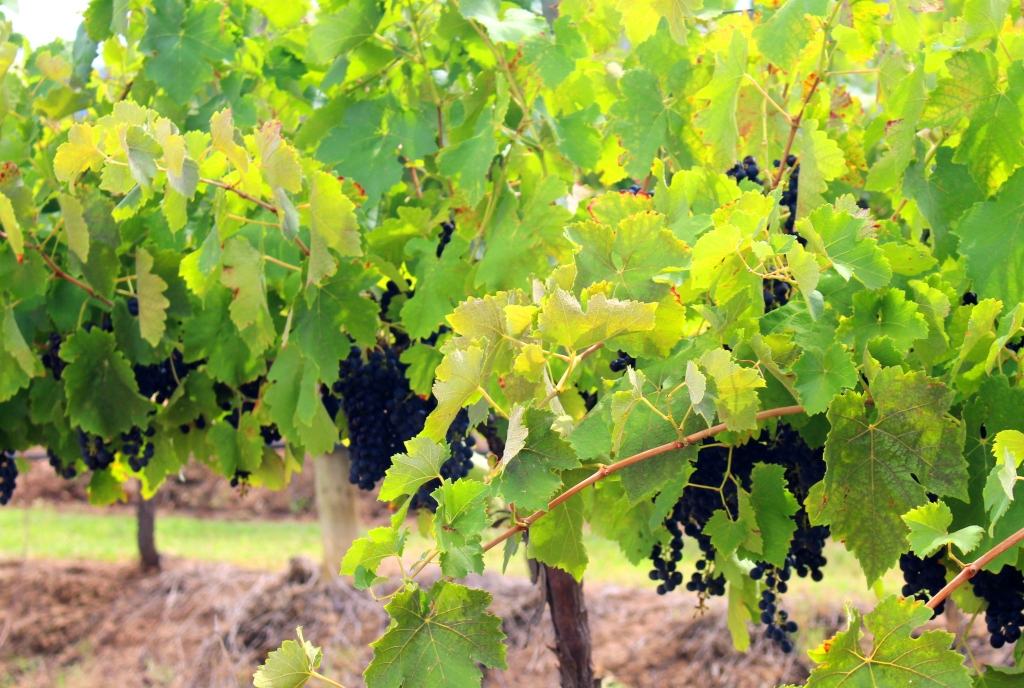
About ready to pick

About ready to pick

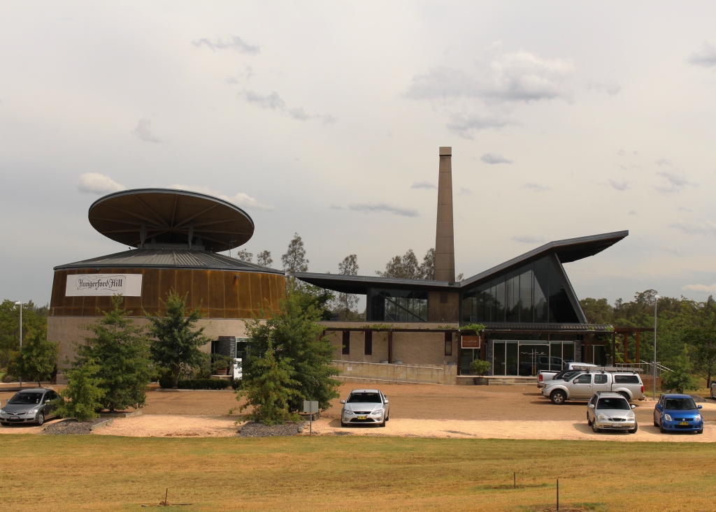
Hungerford Hill's impressive cellar door

Hungerford Hill’s impressive cellar door

We paused in Cessnock for a cup of coffee before returning to the van along other familiar roads. We enjoyed a quiet evening but were awakened several times during the night by heavy rain. There would have been some very happy people as their parched gardens were watered by the persistent showers.

Sydney 2014 – Day 7 – 23rd January – Gloucester to Toukley

The morning was overcast and progressed to drizzle as we packed up to move on to Canton Beach Holiday Park at Toukley on the shores of Tuggerah Lake. Light rain continued for most of the trip but did clear as we reached our destination.

Our reason for spending a couple of days here was to catch up with Ruth’s sister Judy and her husband Alan. After setting up the van we took the short drive to their home for afternoon tea and a chat. Later we joined them for dinner at the Toukley Golf Club and chatted again while we dined and watched the last golfers for the day make their way up the fairway to the 18th hole: and for some the 19th hole as well. Then back to the van for a relatively early night.

No pictures today.

Sydney 2014 – Day 6 – 22nd January – Around Gloucester

The sunshine and warm weather have gone, to be replaces by cool cloudy and rainy conditions. All areas through which we have travelled have badly needed rain so we shouldn’t complain. So we won’t!

But we did spend the morning around the van – a bit of shopping and some work that needed to be done. After lunch we went exploring again.

As I was born in Taree and lived in the area until I was 15, I am familiar with the Manning River that flows past the town and empties into the ocean at Harrington. But I have never thought much about its source. During map study as part of planning for this trip, I noticed that a stream that has its origins high in the Barrington Mountains was marked “Manning River”. Sure enough, they are one and the same. On our drive down to Gloucester from Walcha we crossed the Manning a couple of times but could not stop for a photo due to narrow roads and narrower bridges. We had also been told about the Bretti camping area and had caught just a glimpse of it on the same journey. This time a steep hill and the caravan pushing from behind swept us past without the chance of a real look. So we took an afternoon drive back north to see both.


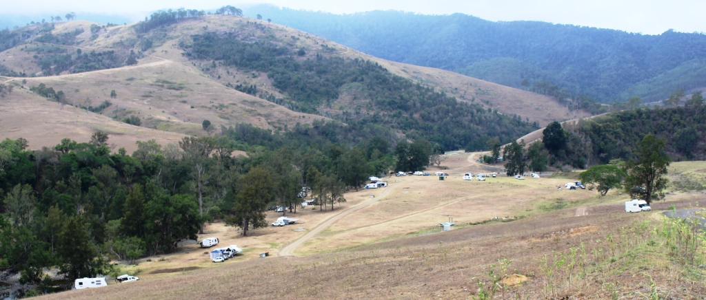
Bretti camping area. Where the Barnard meets the Manning

Bretti camping area. Where the Barnard meets the Manning


Bretti is about 40 kilometres back up the Walcha Road. It is located in the most perfect valley where the Barnard and Manning Rivers converge. The road runs along the edge of the mountain above the valley, but only for a short distance, so the view from the road is tantalisingly brief.

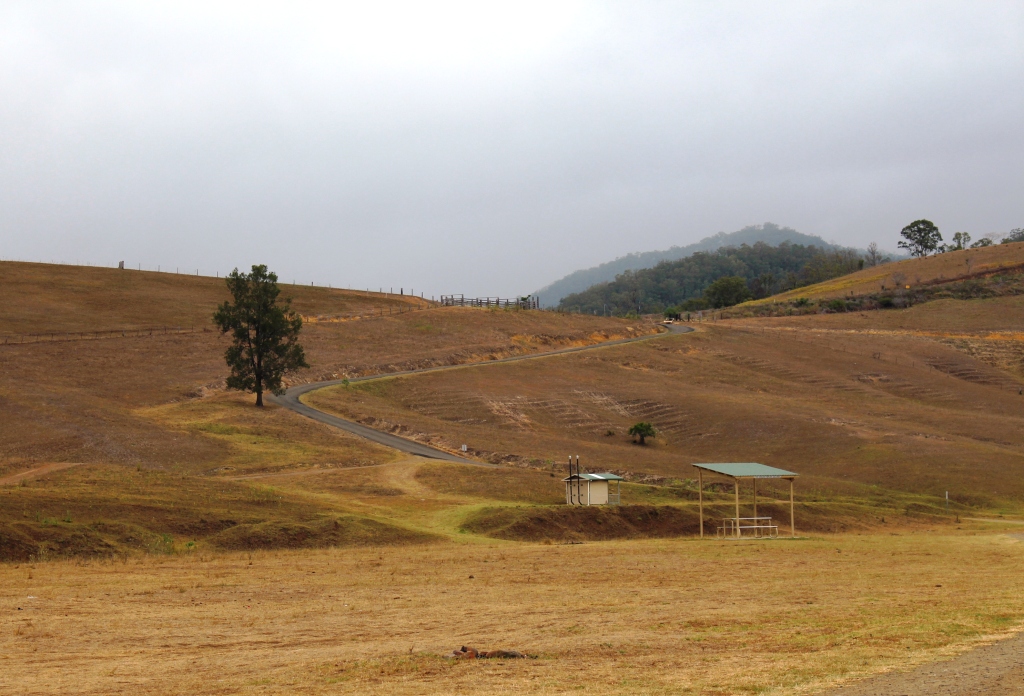
The road runs along the ridge above Bretti camping area

The road runs along the ridge above Bretti camping area

The camping area runs along the banks of both rivers. Facilities are minimal, with only a couple of small toilet blocks, but there is plenty of water in the river and the area is intended for self sufficient campers. There were probably 30 camps and groups. Double that number would not have crowded the area!


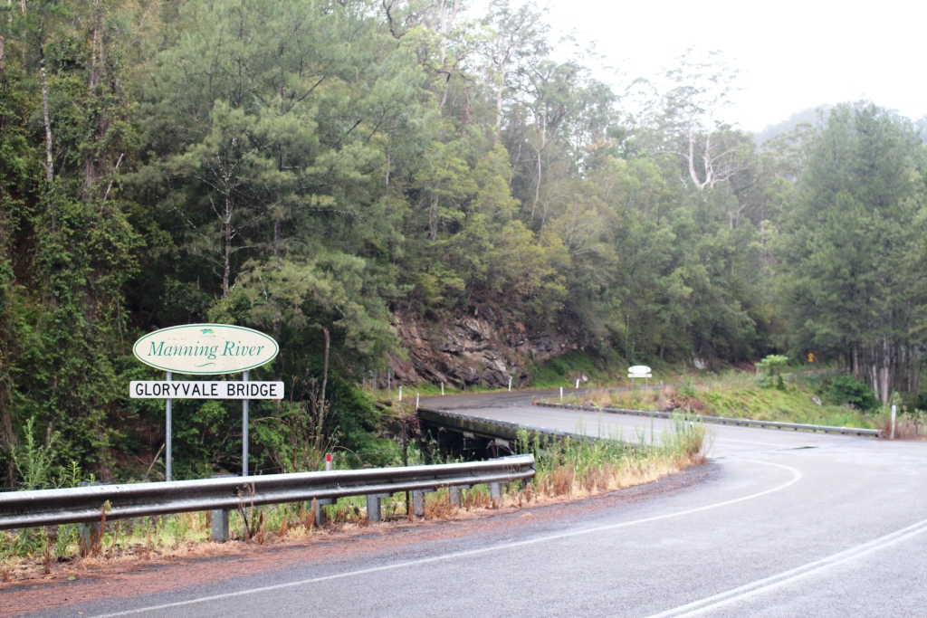
Gloryvale Bridge over the Manning River

Gloryvale Bridge over the Manning River


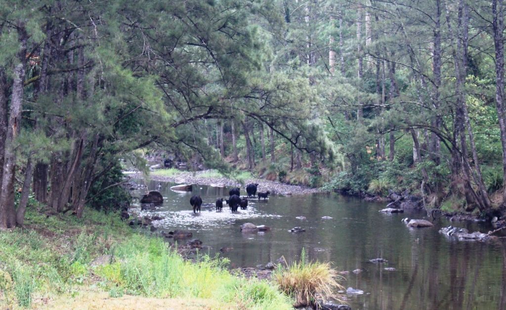
It began to rain again as we started back, so a couple of photos of the Manning River had to be taken dodging the rain. You will see that this far from the sea it is only a small stream. A camper to who we spoke at Bretti told us that the Manning has 153 tributaries flowing into it between its source and the ocean, so no wonder it is so much larger at its mouth.

Manning River. Please boil the water before drinking!

Manning River. Please boil the water before drinking!

The rain had settled in for the afternoon so we went back to the van to shelter and warmth. It had become quite cool.