Sydney 2014 – Day 5 – 21st January – Barrington Tops

We are back in the lowlands so there was no need for a doona last night. We were comfortable with some help from our fan. Today dawned cloudy with rain forecast as possible but it soon cleared into brilliant sunshine with the promise of a hot day.
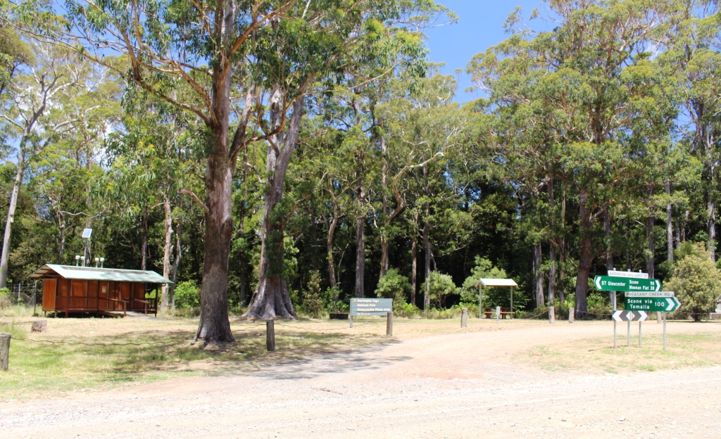
Honeysuckle is a typical rest area.

Honeysuckle is a typical rest area.

After clearing some business related matters, including waiting for it to be 9.00 am in Brisbane, we loaded our lunch (but forgot the thermos) and set off. We were following the road that runs from Barrington, just north of Gloucester, to Scone. The road is variously known as Scone Road, Barrington Tops Road and Barrington Tops Track. We followed it right through the State Forests, National Park and State Conservation Areas that collectively seem to be known as Barrington Tops National Park.

There is roughly 35 kilometres of sealed road that passes through the old gold town of Copeland, climbs 500 meters over a range and then descends 500 meters into a rural valley. It then becomes a gravel road as it ascends to the National Park area.
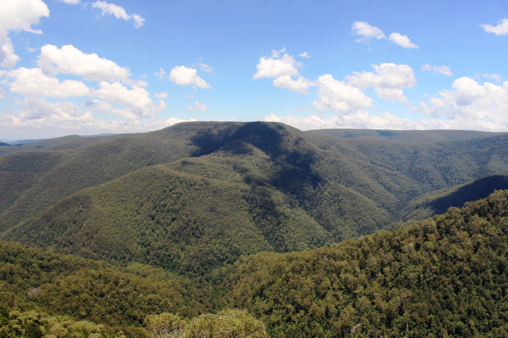
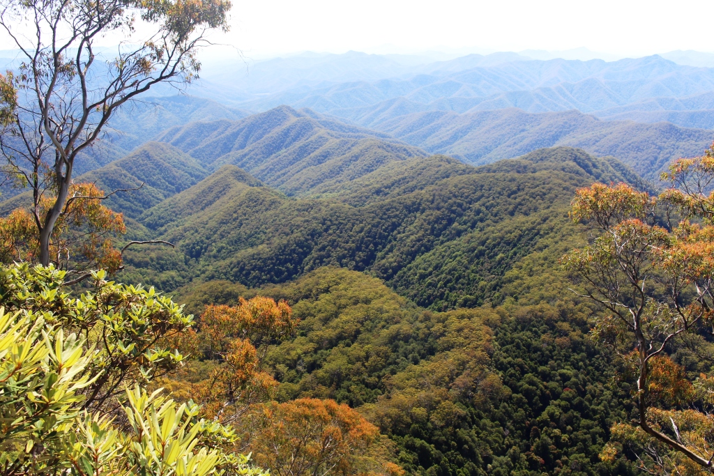
View over the mountains from Devils Hole Lookout

View over the mountains from Devils Hole Lookout

After a few kilometres after the gravel starts the road takes a sharp right hand turn over a stream and starts to climb from about 200 meters to near to 1,500 meters above sea level. The gravel road to the park boundary is in good condition but deteriorates a bit as soon as it crosses the boundary. A sign in council territory advises that you have reached the end of a council maintained road. A sign inside the park boundary advises that the road is not regularly maintained because of lack of funds. A case of taking the high moral ground on the one hand and passing the buck on the other!
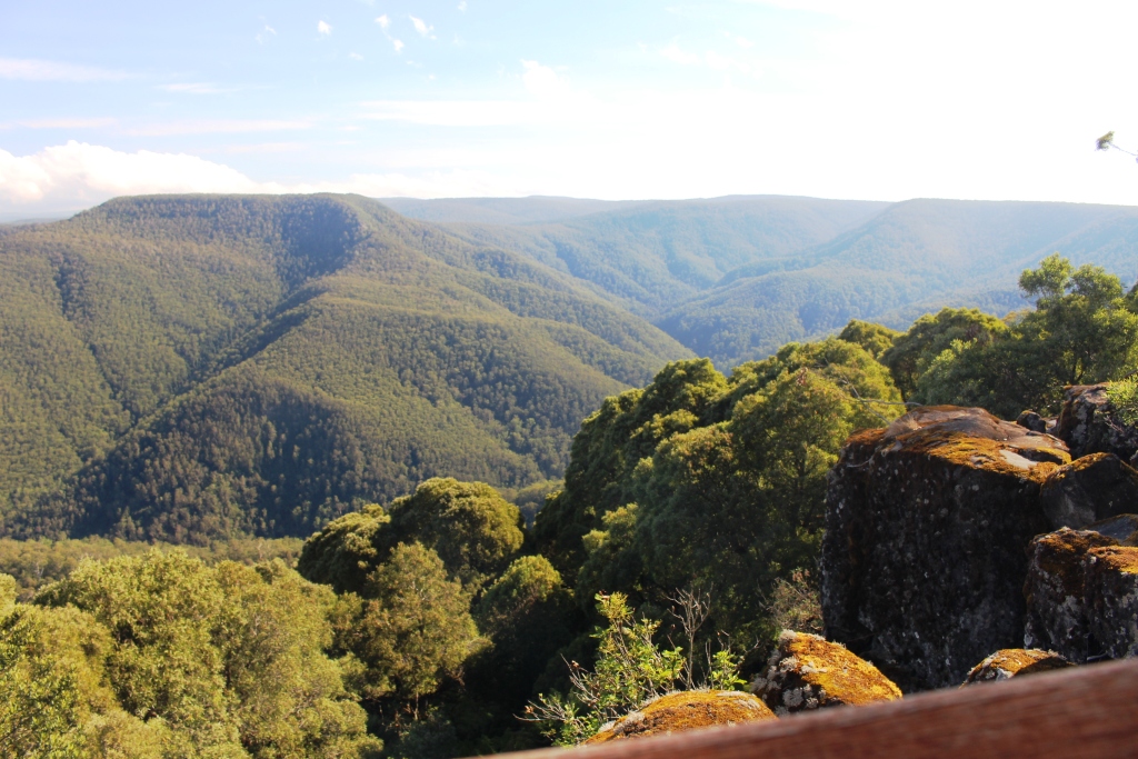
The view from Thunderbolt's Lookout

The view from Thunderbolt’s Lookout


It was cooler at the higher altitudes so walking was pleasant. We visited the points of interest along the way, guided by a National parks brochure. There are two lookouts of note on this road, Thunderbolt’s Lookout and devils Hole. Both reward a short walk with great mountain views but they are not the equal of those that we gained from Point Lookout near Ebor, although at about the same altitude.

Presumably Thunderbolt’s Lookout is named for the famous bush ranger. He was active in areas not too far away from here so perhaps the lookout was the point from which he patched for his enemies. The National parks brochure is silent on this matter.
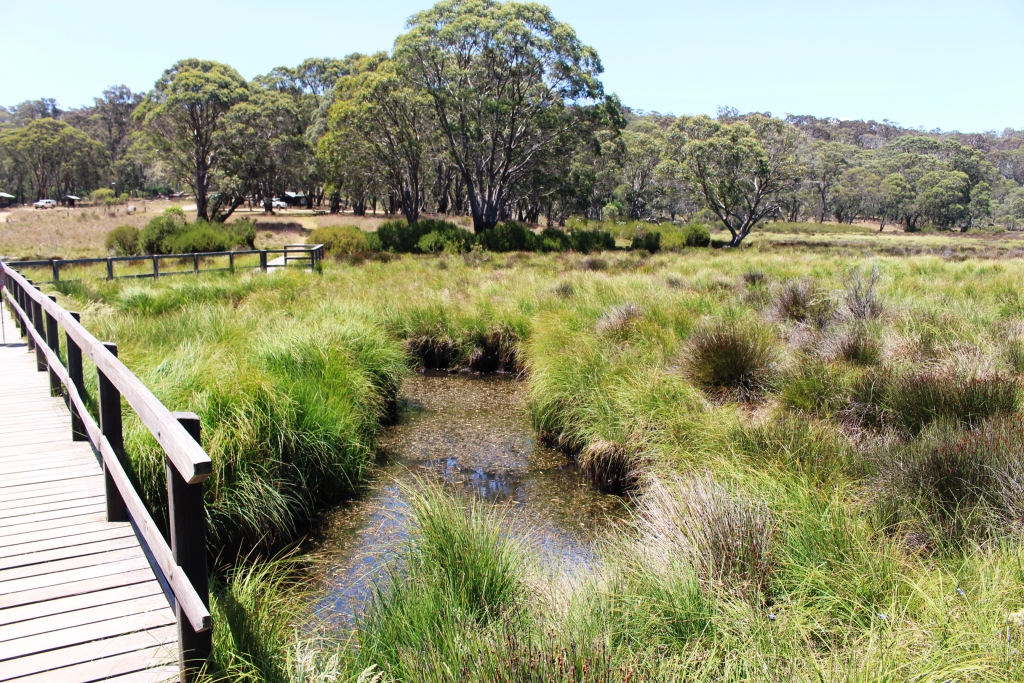
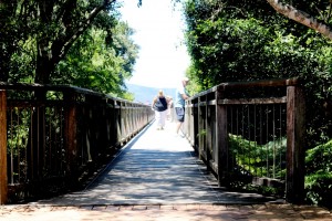
A boardwalk spans Polblue Creek between the day use and camping areas.

A boardwalk spans Polblue Creek between the day use and camping areas.

We had lunch at the Devils Hole day use area, did the short walk, and then drove on to Polblue picnic and camping areas which are separated by the swampy Polblue Creek. The rangers at the NP office in Gloucester had told us that Polblue was the main camping area. It certainly has space and facilities for a large number of people but the crowds were not there today. The only residents were a couple in an off road caravan. We would have seen only about a dozen vehicles in the mountain area all day and most seemed to be commuting between the major centres at either end of the road.
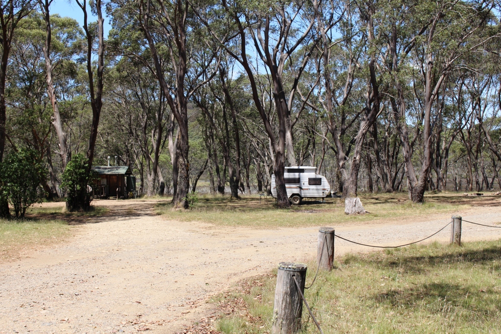
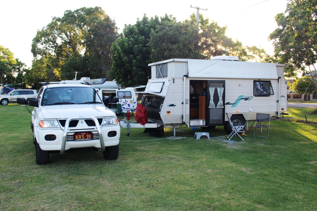
The caravan belongs to the sole residents of Polblue camping area

The caravan belongs to the sole residents of Polblue camping area

We chatted to and had coffee with the only tenants in the camping area. They are fellow Queenslanders who have followed a very similar route to ours in arriving at Barrington. Like us they are heading to Sydney and staying at the same caravan park with our stays overlapping.
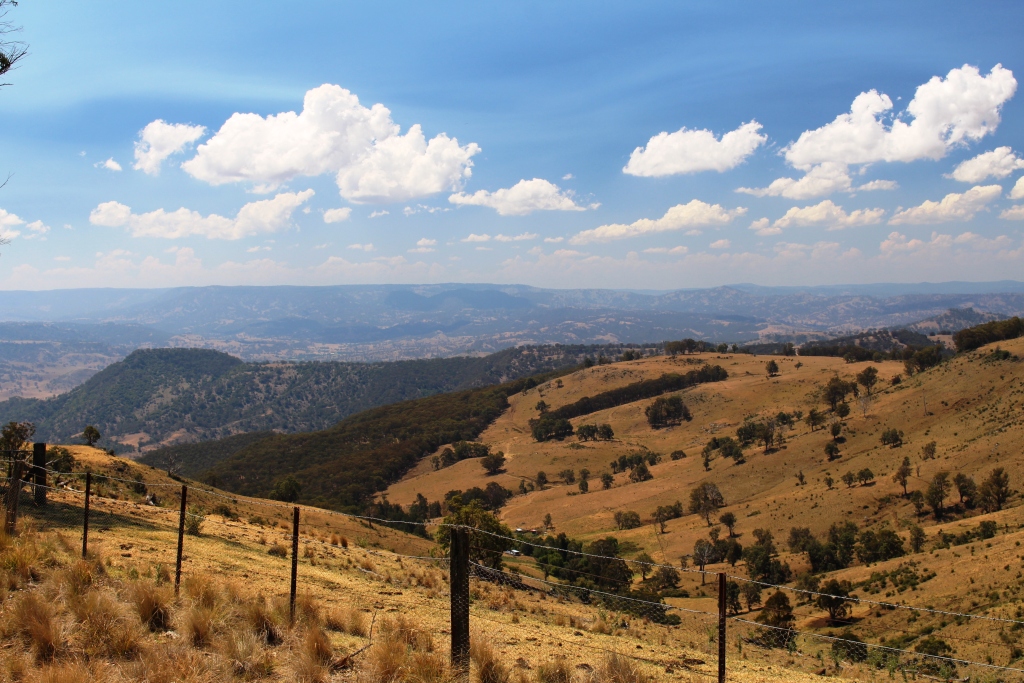


Cleared slopes of the Upper Hunter Valley in the afternoon sunlight.

Cleared slopes of the Upper Hunter Valley in the afternoon sunlight.

We crossed the entire area to just past the Dingo Gate at the top of the long steep slopes that lead down into the Upper Hunter Valley. More views of mountains but these were paetly clear of trees and covered with brown grass. Another 15 kilometres and we would have reached the first small town on the way to Scone. But duty called. Someone needed to close the Dingo Gate that had been left open despite a prominent sign that said it should be shut.
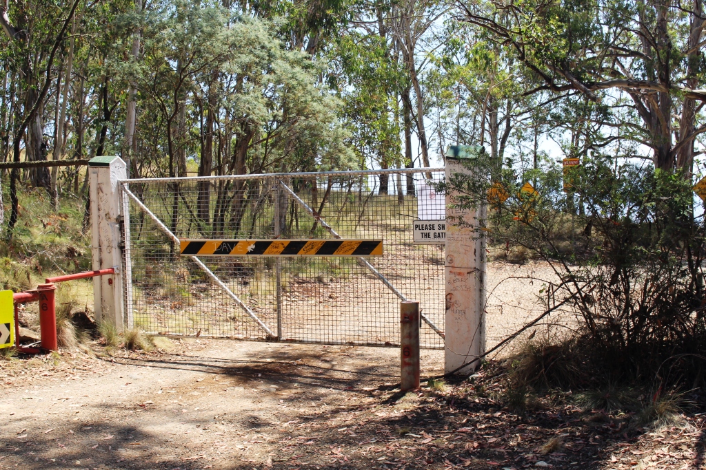
The Dingo Gate after being closed

The Dingo Gate after being closed

The sun filtering through the pine trees produced an attractive effect.

The sun filtering through the pine trees produced an attractive effect.

Not far back from the gate the road runs through a pine plantation. Only 100 meters off the road is a rest area in such deep shade that it seems almost dark when you enter. A short walk leads to the edge of the pines where the normal forest recommences. The effect of the sun filtering through the foliage at the top of the trees was quite striking.

We lingered a bit longer with the folk at Polblue over that cup of coffee than we had intended, so it was near dusk when we reached the van. For the first time on this trip we turned the air conditioning on. The van was quite hot after being locked up all day.
Sydney 2014 – Day 4 – 20th January – Armidale to Gloucester

Not much sightseeing today but endless ups and downs over considerable altitude. Last night was a doona night and the morning again dawned fine with the promise of a hot day. Once again the promise was kept.

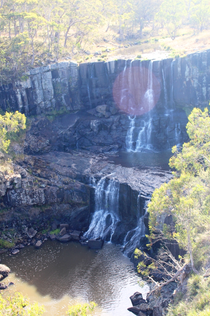
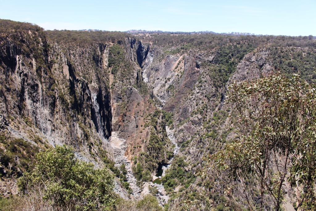
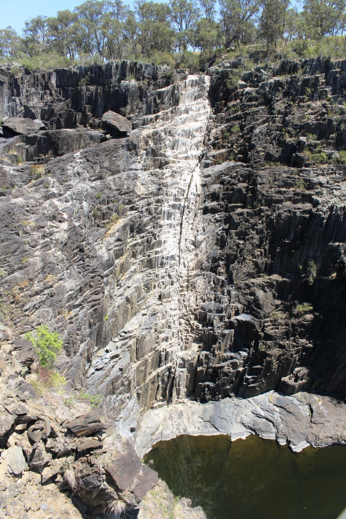
The white stain shows where the water normally is.

The white stain shows where the water normally is.

The drive from Armidale through Uralla and on to Walcha is through fairly gently undulating pasture land but Walcha is at the edge of the plateau and the hills start to the south and east. We took a side trip to visit Apsley Falls and Gorge which are about 20 km towards Wauchope and the coast so we started to experience hilly country.


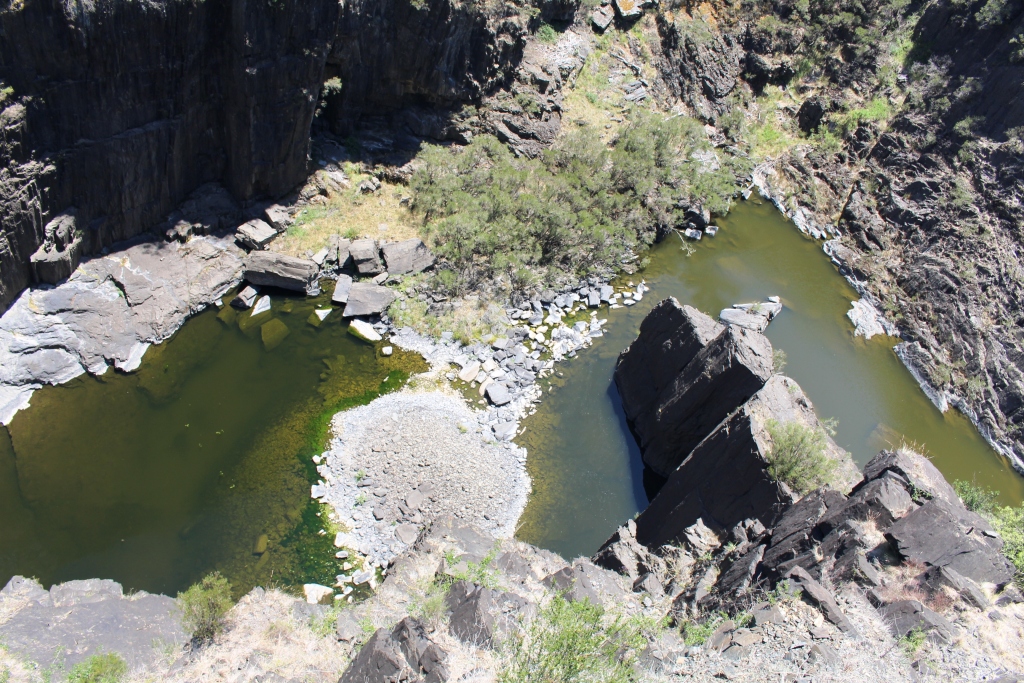
Only a couple of pools remain at the foot of the falls.

Only a couple of pools remain at the foot of the falls.

Apsley Falls must be magnificent when there have been good falls of rain but today were totally dry, with the exception of a few pools at the very bottom of the gorge. The area is well presented with excellent visitor facilities.


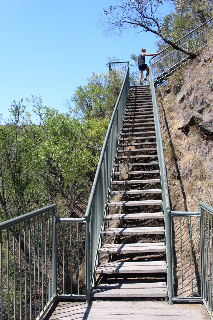
This is part of the 106 steps to the mid-level viewing platform.

This is part of the 106 steps to the mid-level viewing platform.


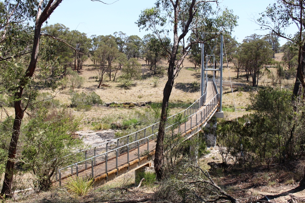
A suspension bridge provides access to the far side of the gorge.

A suspension bridge provides access to the far side of the gorge.


A suspension bridge spans the stream above the falls to give access to the far bank. We didn’t do that walk today but it would be pleasant in cooler weather with water going over the falls. But I did the climb down 106 stars (and back up again) to the lower viewing platform. I felt the last few steps back up.

Apsley Falls are in the Oxley Wild Rivers National park and are on the Apsley River. The dry falls that we saw yesterday at Wollomombi are on the Chandler River. Both flow into the Macleay River which, after flowing a great distance, reaches the ocean at South West Rocks.

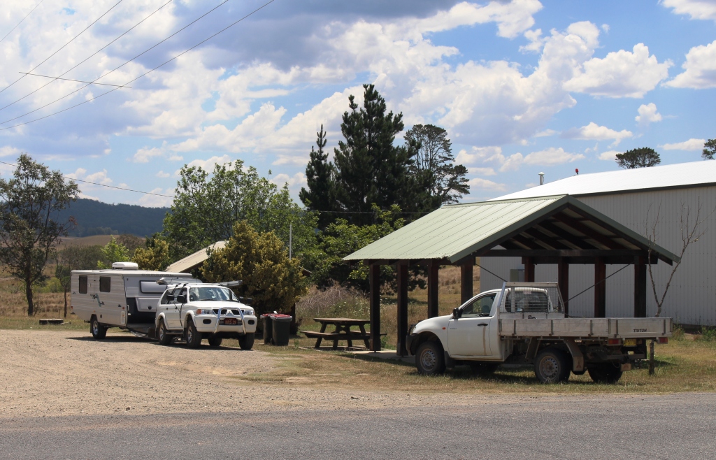
The rest area at Nowendoc provided a pleasant lunch stop.

The rest area at Nowendoc provided a pleasant lunch stop.

Our path took us back to Walcha and then through Nowendoc to Barrington and then to Gloucester. As soon as we left Walcha the road started to climb. Past 1,100 meters, then past 1,200 meters, down a bit and then higher still. The altimeter on the GPS reached 1,332 meters and then we plunged. Down we went more than 400 meters in a few kilometres into the Nowendoc valley. Farming country extends almost to the edge of the plateau with pine plantations and virgin bush at the edge and on the decline into the valley. Then farm lands again..

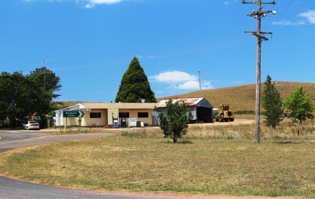
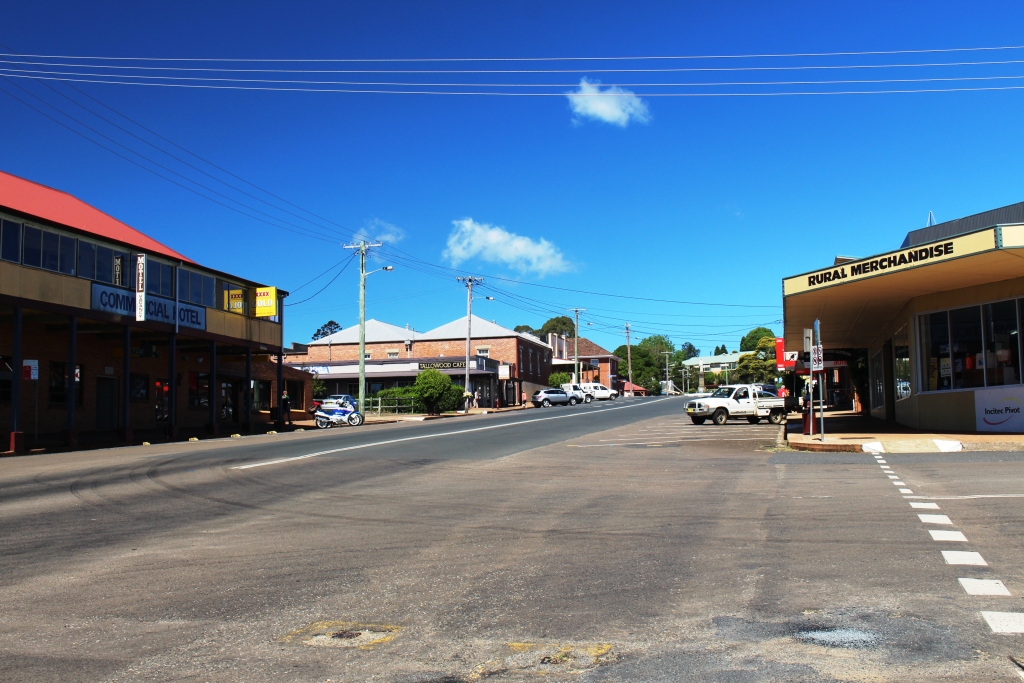
Nawendoc commercial centre

Nawendoc commercial centre

Nowendoc is a tiny town located about a kilometre from the main road. We visited and used their excellent travellers’ facilities, including a picnic shelter, for lunch.

Back on the road and it was back to climbing and descending again. Finally we came to Karo Mountain and a descent that was very steep. A sign at the top warned all vehicles to use low gear. What sound advice! The descent went on and on, around several sharp bends and past numerous signs to indicate that the slope still had some distance to go. Once we reached the bottom of this descent it was not far to Gloucester.

We had intended to take the van over Barrington Tops with a possible overnight stop somewhere near the top. But storms are forecast so we will make day trips into the area until we move on in a couple of days.

Sydney 2014 – Day 3 – 19th January – Ebor to Armidale

We awoke to the distant lowing of cattle, as yesterdays heard returned via the water supply to resume grazing on the road side, as they had been the previous day. It had been a doona night with the temperature down to 11C. The sun rose into an almost clear sky with the promise of warmth.

Upper Falls at Ebor Falls. Still some water in the Guy Fawkes River

Upper Falls at Ebor Falls. Still some water in the Guy Fawkes River

Immediately after breakfast we unhitched the car and drove across the road to the day area at Ebor Falls. We have been here a couple of times before but a waterfall is always worth looking at. Rainfall through the area has been low by normal standards but there was a fair flow of water tumbling over the upper and lower falls on the Guy Fawkes River, just as it flows into the Gay Fawkes National Park within walking distance from the small town of Ebor.

Lower falls at Ebor. Please excuse the reflection.

Lower falls at Ebor. Please excuse the reflection.


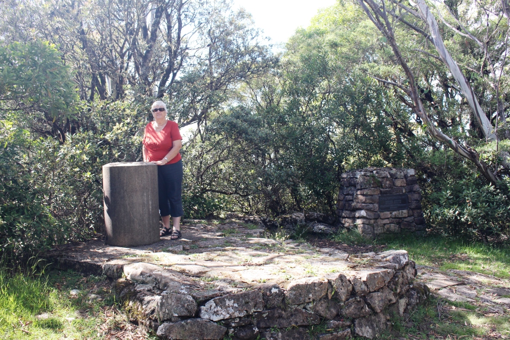
Ruth standing by the trig point at the summit

Ruth standing by the trig point at the summit


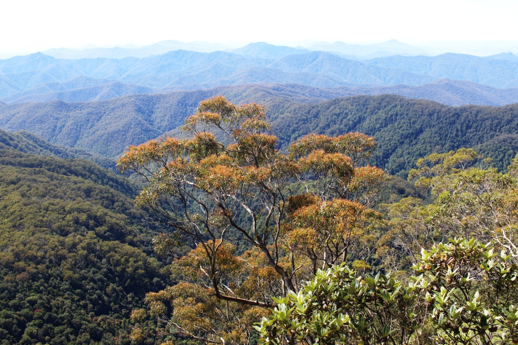
The view from the first observation point just below the summit

The view from the first observation point just below the summit

Point Lookout, a mountain peak of over 1,500 meters, is about 25 kilometres by road from Ebor. Previously, when we went there, we encountered a pea soup fog about 300 meters from the top and could see nothing. This is a common state of affairs as the lichen covered trees, scrubs and rocks attest. But today was different. We had struck a clear day. A short walk from the car park to a lookout was certainly worth the effort.

The view from the second observation point overlooking an adjoining valley

The view from the second observation point overlooking an adjoining valley

Spread before us was the most magnificent panorama of mountain scenery that we have seen in a long while. Range after range, divided by deep valleys and gorges, reached away to the distant Pacific which we could not quite see because of distant haze. Those northern NSW ranges are sure rugged!


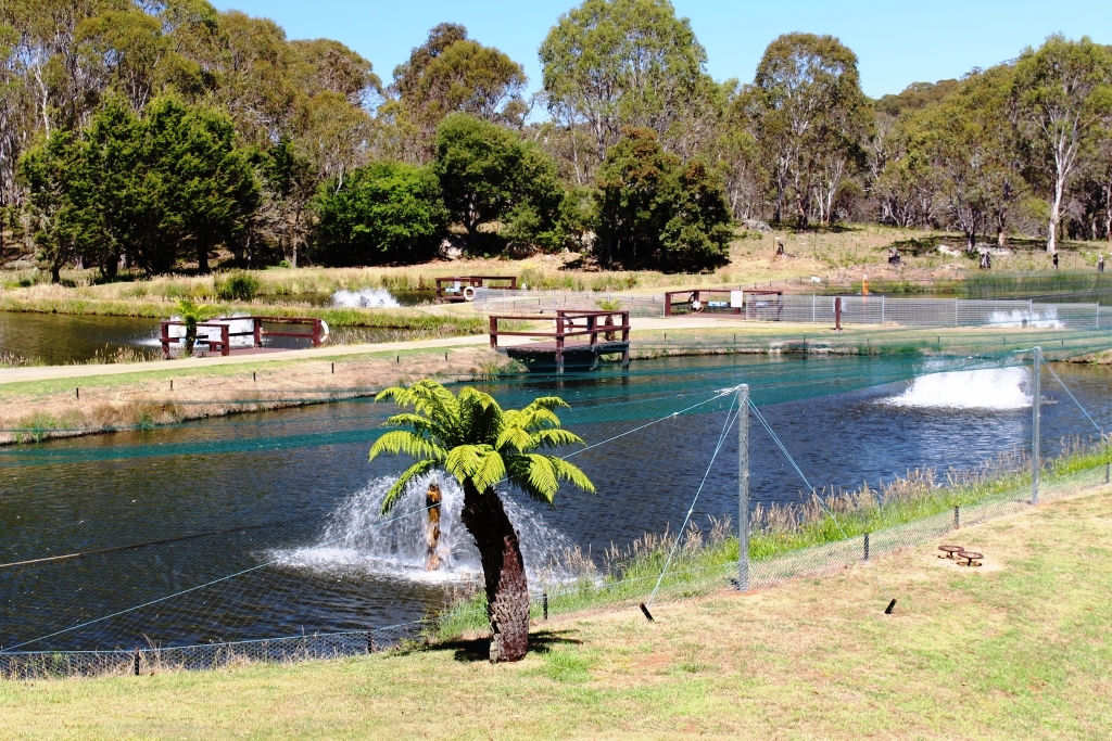
Breeding ponds at trout hatchery

Breeding ponds at trout hatchery

We had passed a trout hatchery on the way to the mountain peak and stopped in to have a look. We took the self guided tour, which started with an explanatory video and finished with a self conducted walk which included feeding the trout from a small bag of fish feed with which had been supplied.

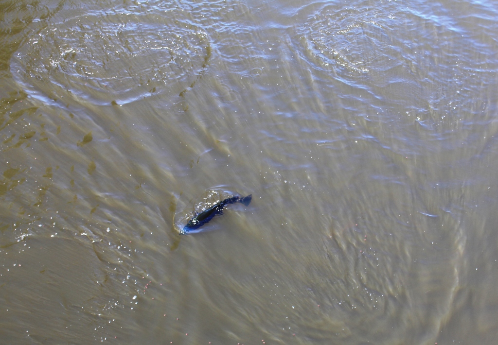
I would love to catch one this size!

I would love to catch one this size!

When I go fishing the activity can reasonably be described as feeding the fish but then I feed them without seeing them. Although warm weather makes trout a bit sluggish there was enough interest to disturb the surface as large fish lunged at the pellets. Summer is a bit off season so there was not a lot going on but we left with an understanding of the process that provides the fingerlings that are used to populate the lakes and streams for the sport of trout anglers.

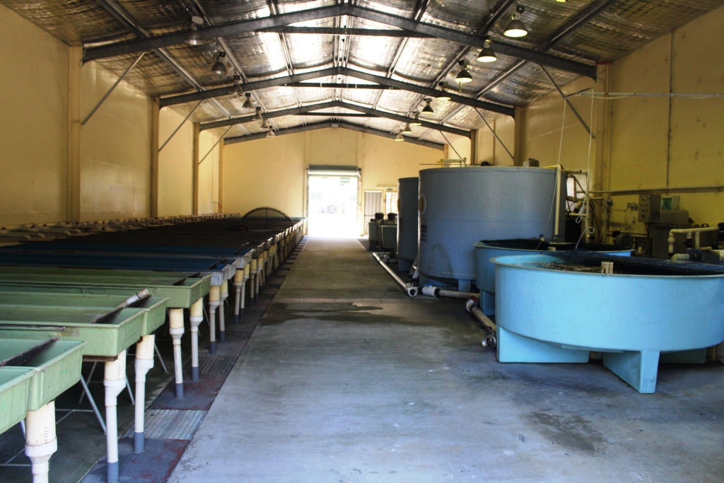
Processing centre for breeding eggs but not operating at this time of the year.

Processing centre for breeding eggs but not operating at this time of the year.

While there we bought some smoked and sliced trout. Does anyone have a loaf of very fresh bread handy?

Back at the van we had lunch, hooked up and headed for Armidale. We made two short detours.


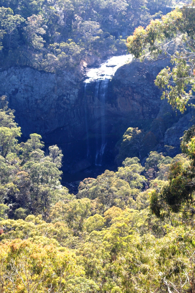
Very dry Wollomombi Falls in the Oxley Wild Rivers National Park

Very dry Wollomombi Falls in the Oxley Wild Rivers National Park

First a turn to the right to check out the tiny town of Wollomombi and a few kilometres later a turn to the left into the northern most part of the Oxley Wild Rivers National Park to check the Wollomombi Gorge. We would also have checked the Wollomombi Falls but lack of rain has left them without even a trickle. But the gorge is spectacular even without water.

The day turned out quite hot. Armidale recorded a top of 34C and it felt it. But just as we finished setting up for the night thunder sounded, to be followed by wind and rain. Storms have continued since then with another one passing as dusk settles. The overnight minimum is forecast to be 11C. Another doona night!

Sydney 2014 – Day 2 – 18th January – Grafton to Ebor via Dorrigo

Just to clarify. We did not share the facilities in Grafton with greyhound races. They had been on the night before. Instead we had a quiet night with little traffic and one train in the distance. We slept through anything else that happened.

The road from Grafton to Dorrigo runs through Coutts Crossing and then follows the Nymboida River into the mountains. The Nymboida canoe centre is on this road. On this river very game (or silly) people do heroic things in canoes and kayaks in white water.

Nymboida Canoe Centre

Nymboida Canoe Centre

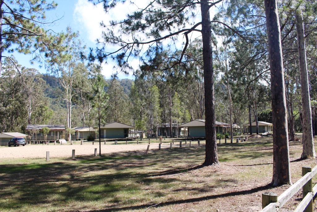
No activity there today. There is probably not enough water coming down due to dry conditions. There are extensive facilities for visitors including camping areas, cabins and caravan sites. Just past the canoe centre and on the banks of the Nymboida River stands the quite new looking Nymboida Hotel, which appears to offer all the normal facilities for travellers and those who want to linger a bit longer.

Armidale Road

Armidale Road and power lines – both going up! Roads never look as steep in photographs.

Then the climb up the mountain starts. The road is narrow and winding. It mostly runs through thick bushland with the occasional cleared rural areas. While not an ideal road to tow a caravan it is quite safe if taken slowly. This is the Armidale Road which joins the Waterfall Way about 10 km north east of Ebor. We left this road at Tyringham and took a short cut through North Dorrigo to Dorrigo itself. Again some steep climbs but by this time we were driving through cleared farming country with rolling green hills almost a far as we could see.

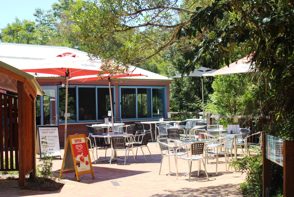
Canopy Caffe Alfresco Area

Outdoor dining area – the Canopy Café, Dorrigo National Park

Sky Walk2 Sky WalkThe National Park is the key attraction at Dorrigo but as it was lunch time when we arrived we decided to try The Canopy Cafe. An excellent meal! Ruth’s club sandwich was big enough to feed more than one club member and my chicken, mushroom and sundried tomato pasta was to die for. And the chips? Made from Dorrigo potatoes, of course.
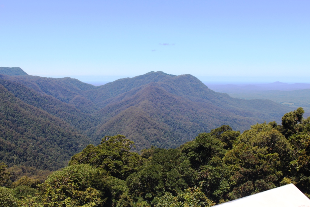
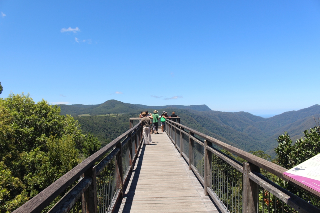
The main attraction at Dorrigo National Park is the Sky Walk, a sort of cat walk that extends out above the rain forest on the escarpment and provides stunning views over the forest, mountain ranges and down the Ballenger River valley to the Pacific Ocean.

Forest, Mountains & Sea

View from Sky Walk

Knee Test in Progress

Knee test in progress

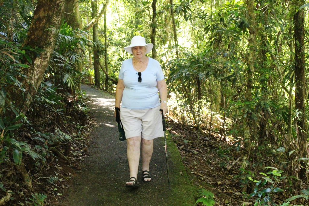
To give Ruth’s knee the promised workout we did an 800 meter rain forest walk with some downhill and up hull sections. The knee passed with flying colours.

Danger Falls

Danger Falls is a popular swimming spot

This is the Waterfall Way after all, so for our first waterfall we took a short drive north of Dorrigo to Dangar Falls. We had been there before but this time there was much more water in the river so it was worth the effort.

Dorrigo Main Street

Main street in Dorrigo


Another unique feature of Dorrigo is that it is the largest railway graveyard in Australia. There are hectares of rolling stock and engines standing on the lines around the rail depot which was, in its day, was the end of the line. The track is so winding that the section to Dorrigo was recognised as the slowest section in all of NSW Rail. I think there were great plans for the collection of railway equipment but there was not much sign of action as we drove past.


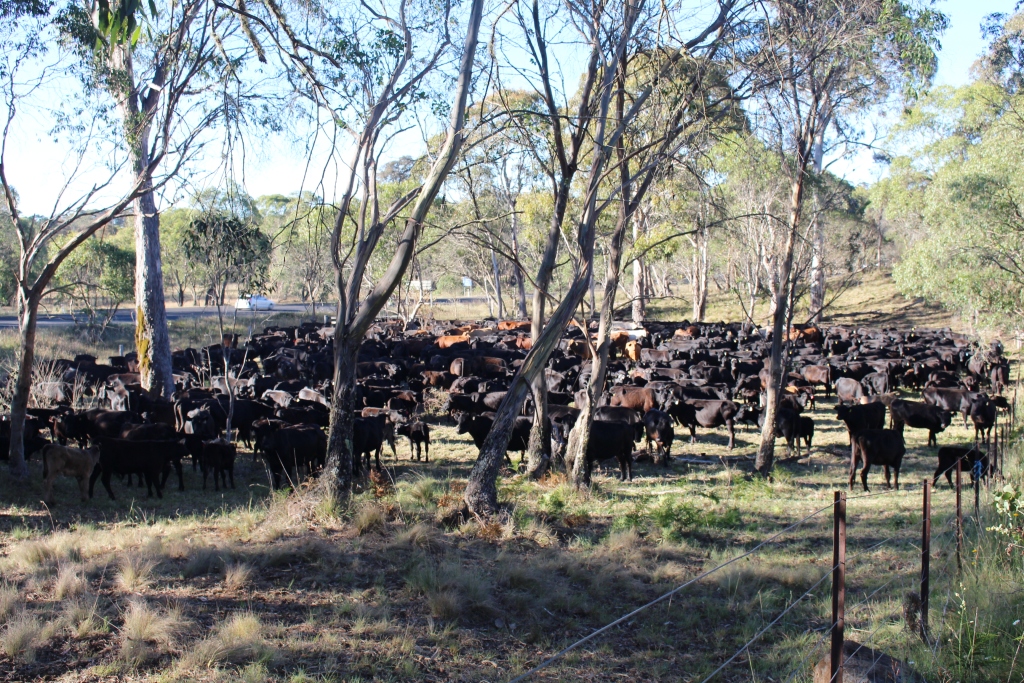
From Dorrigo we then proceeded along the Waterfall Way to Ebor. This piece of road has no flat sections. You are either ascending or descending and the grades are quite steep. But it is only about 47 kilometres so we were soon at the Ebor free camping area. We have only two caravan neighbours but for a while we had about 450 neighbours of the four legged variety. A local farmer was moving his herd between paddocks and was temporally holding them near the gate to the free camp.

Ebor Street

The leafy main street of Ebor


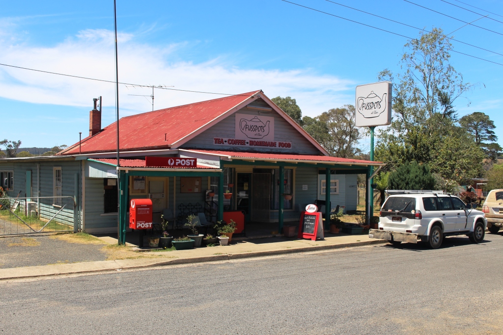
Fussypots at Ebor

Fussypots café at Ebor


Four Legged Neighbours

Four legged neighbours


Talk about noise! But he drove them via a stream for a drink and then moved them on to a paddock further away. We are fairly quick on the uptake, so two of our neighbours joined us for drink. Can’t let the cattle have all the fun!

So we three caravans have been joined by the farmer’s horse for the night, while he has driven home in his 70 series Toyota utility with his three cattle dogs on the tray. We really are in the rural scene.

Sydney 2014 – Day 1 – 17th January – Home to Grafton

We are on the road again, but just for a month. It was a very familiar drive today, down the Gold Coast and Pacific Highways to Grafton, where the overnight stop is at a small caravan park at the Greyhound Racing Club. The “dish lickers” were performing last night, so all is quiet.

Just two stops along the way. Lunch by the Tweed River at Chindra and coffee at Ferry Park near Maclean. Somehow, with the time difference between Queensland and NSW at this time of the year, there is no time for morning tea. We no sooner leave home than it is lunch time.

On the green, green grass of Grafton

Chindra always has interest for us. Over 100 years ago my maternal grandfather operated the pedestrian ferry over the river. The family lived nearby and Mum’s playground was the river bank. She talked of playing with the soldier crabs on a small sandy beach. She had no siblings, so the crabs were probably her main play mates.  I think she enjoyed their stay at Chindra.

The plan for this trip is to stay as much as possible in the higher country to avoid crowded coastal caravan parks and for cooler nights. After a few days at Katoomba (where Ruth and I honeymooned over half a century ago) we will move on to Sydney where we will stay for a week. Daughter Karen is coming home from India for six weeks. She flies into Sydney on Friday 30th January. Younger daughter Briony has a birthday on 3rd February (now resident in Sydney) so we will celebrate her birthday and spend time together. A few days after we travel home, via the coast, Karen goes to Tasmania for a few days but then joins us for a month in Brisbane a couple of days after we get home. We will celebrate what Karen calls “the birthday season” while she is with us. She and Craig have birthdays only a few days apart near the end of February.

Ruth is travelling with a brand new knee. The entire process of the replacement has gone very well and eight weeks on from the big day she has almost full use of that vital joint and not much discomfort. On day 2 of our trip we will give it a bit of a work out as we travel along the Waterfall Way to Armidale.

Until then stay well.