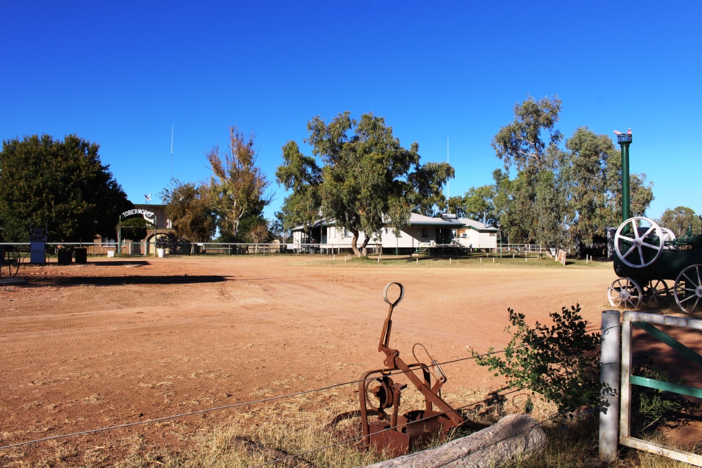
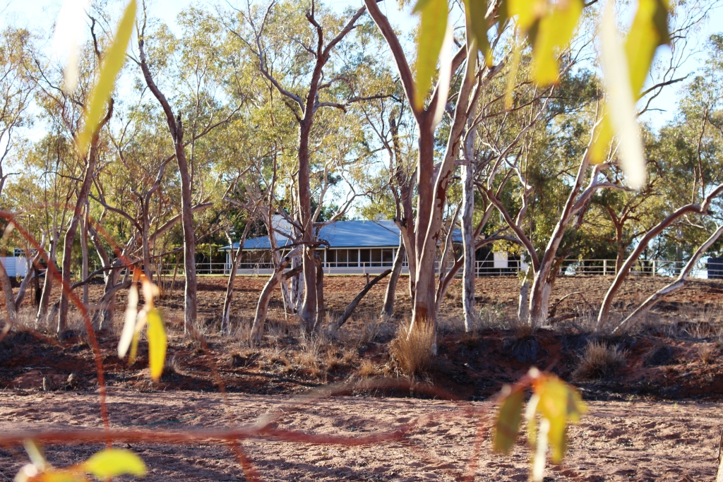
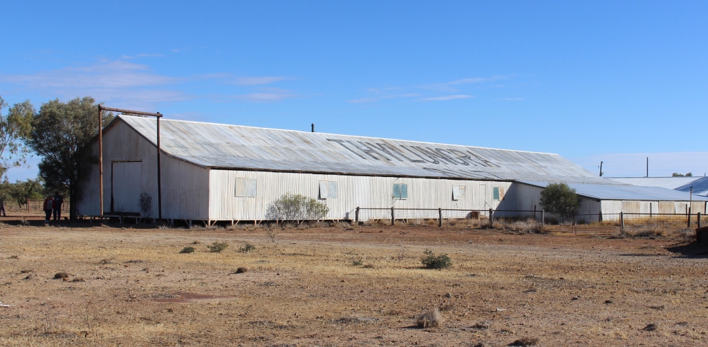
Our previous trip to the Center was impacted by rain. One of the casualties was Rainbow Valley, so it was a must this time. We took advantage of the weekend prior to spending a couple of business days in Alice Springs to make good this omission. For good measure we included the Henbury Meteorite Craters and a one night stay at Stuarts Well Roadhouse.
We had been warned that the access road was rough so expected the 22 km trip in to be fairly slow but the grader had been at work so instead of a rough ride we enjoyed highway comfort.
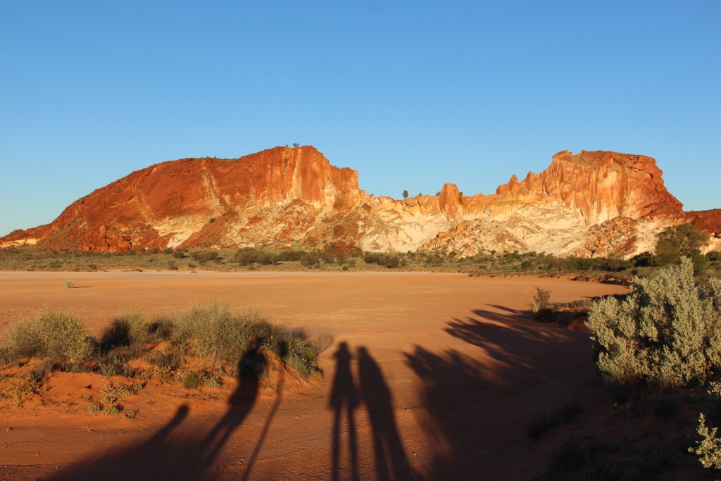
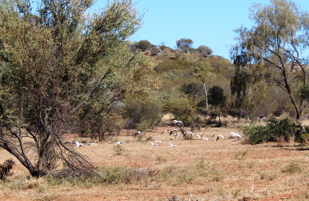
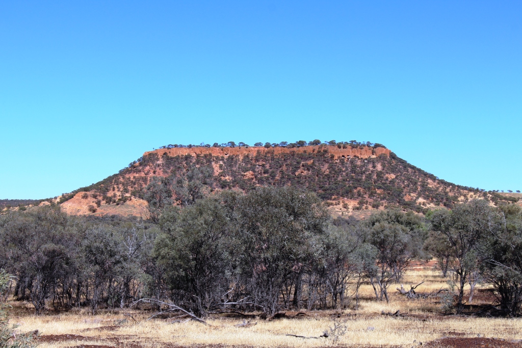
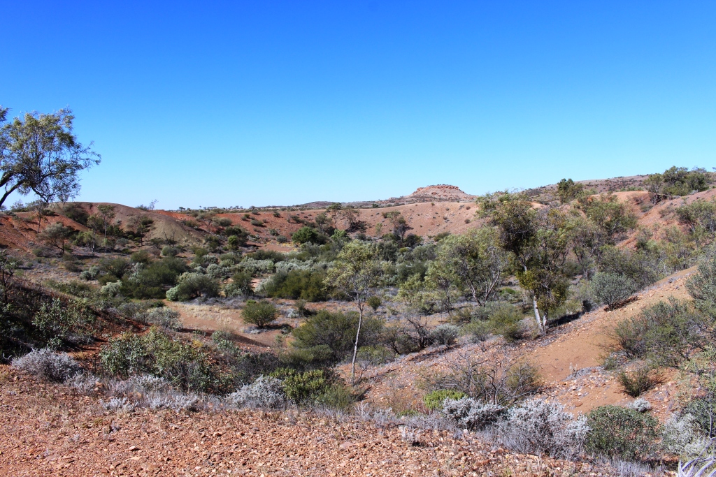
Rainbow Valley – with sunset approaching
Like Uluru (Ayers Rock), much is made of the effect of sunrise and

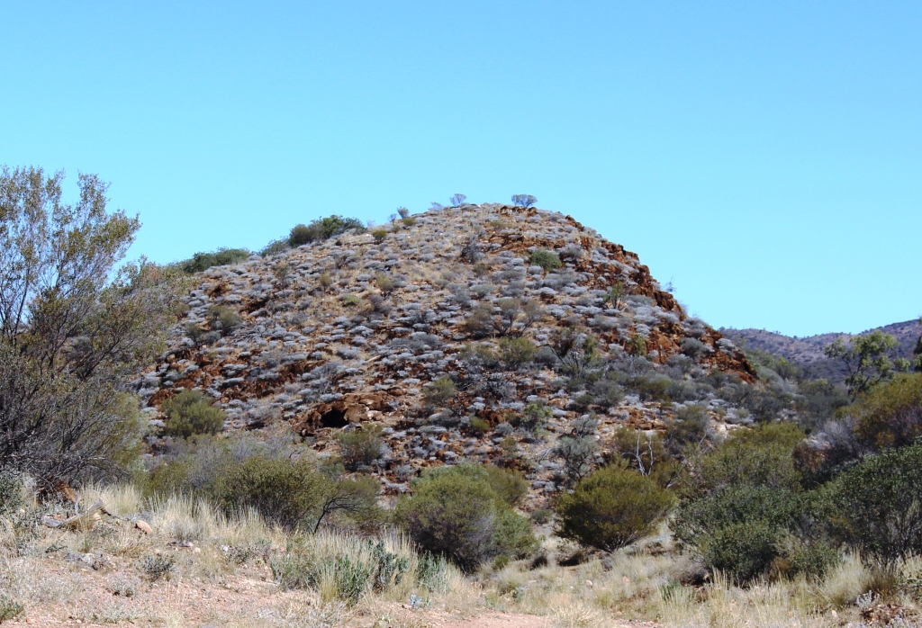
Mushroom Rock
sunset light on the surface of the rock, so we spent the night in the small camping area to allow us to see both. We did the walk to Mushroom Rock, is so doing passing a clay pan and entering the only small valley accessible to us. We returned via the path that leads to the highest vantage point. We joined a group of observers, including a photographer, taking a time lapse series of photos.

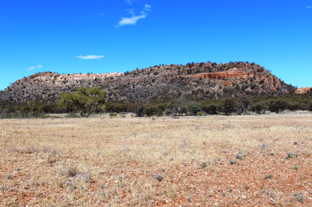
Edge of main rock and neighboring mountain
Places like Rainbow Valley require a reasonable level of imagination. Perhaps I don’t have enough because I did not see anything that remotely resembled a rainbow. The rock face is multi coloured but the shades of colour are subdued and didn’t change much as the sun set. They just got darker, as you would expect. The photographer said that the light was not particularly good and that the best light seemed to occur when conditions were very cold. Still, it was interesting to watch.
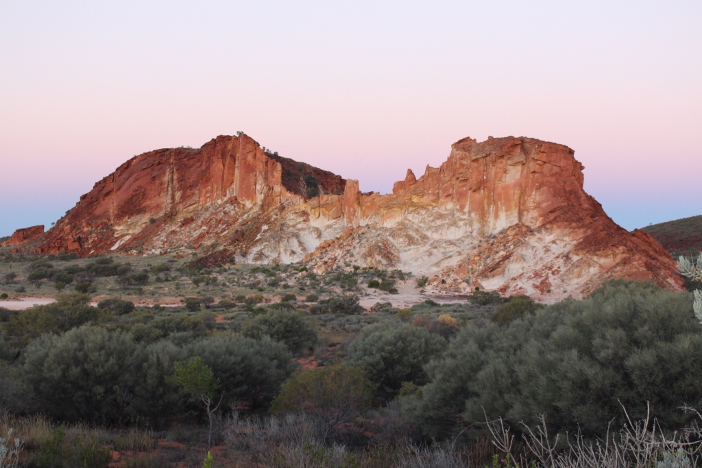
Last shot at night
The rock formation faces west so at sunset is in direct light. At this time of year, from the official observation point, the sun rises a little to the north of the rock face. At first the face of the rock is in shadow, but as the sun rises it’s rays start to pick out the most prominent features until ultimately the entire edifice is bathed in morning sunlight. I found this aspect a more interesting
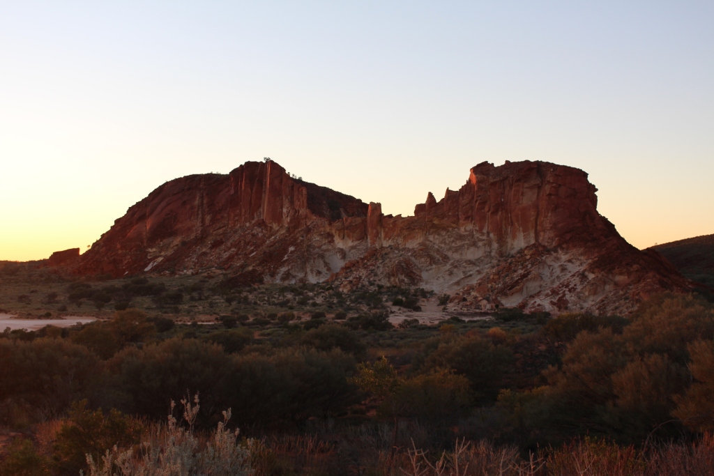
Before sunrise
spectacle.
I am not sure how cold it needed to be to get good colours. The morning was quite cold. I dressed in my warmest woollies but it took the brisk walk to the viewing point to get some warmth into my system. But then it all quickly dissipated in the cool breeze that accompanied the sunrise.

After sunrise
But it was worth the effort to go there. It is a beautiful place.
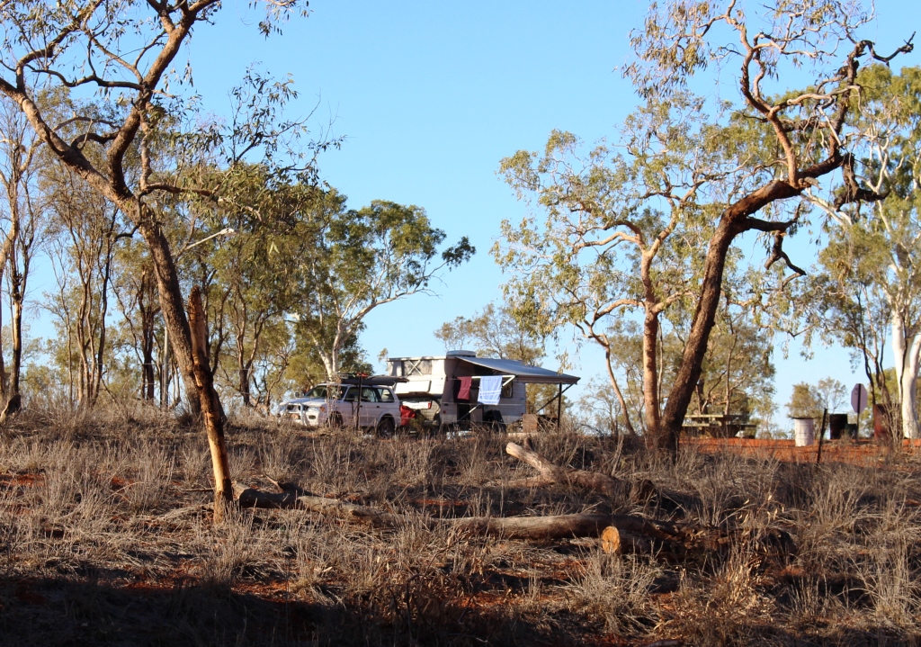
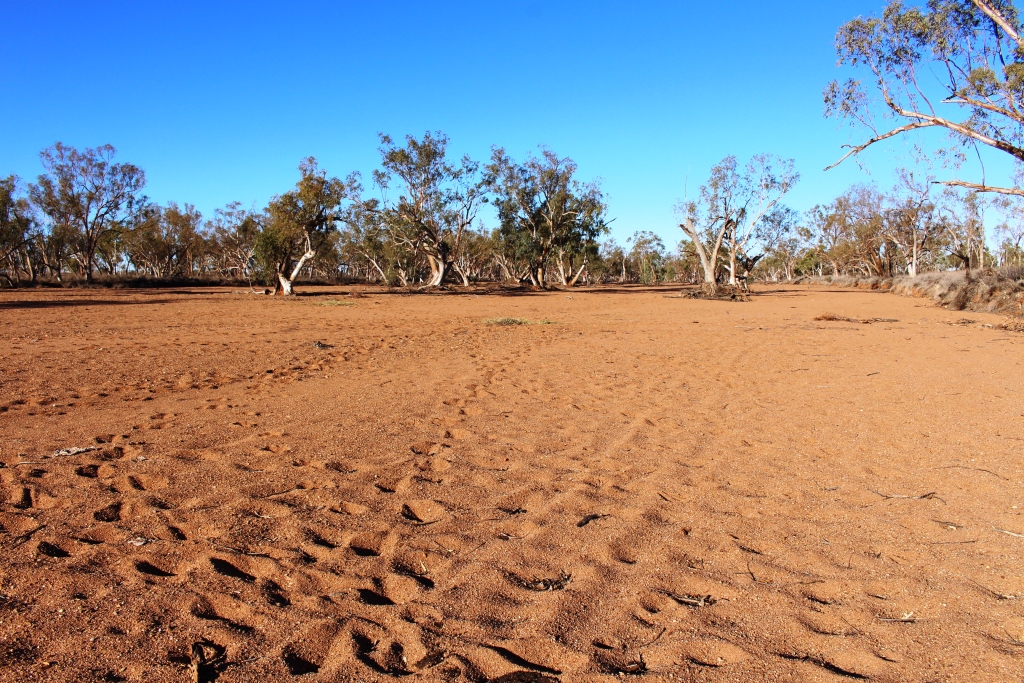
We took the short drive back to the highway and a bit further south, to the Stuarts Well Roadhouse and parked the van for an overnight stop. They have power and showers. Then, as an afternoon activity, we drove a bit further south to inspect the Henbury Meteorite Craters. Many thousands of years ago a meteorite, travelling towards earth at great speed, broke into several pieces and hit the earth on what is now Henbury Station. The result was three large holes in the ground, two of which have weathered into one larger hole. There is no record of the number of dinosaurs killed.
Two craters became one
Over time the elements of wind and rain have softened the damage and changed jagged to round. Soil produced by erosion and seeds, probably transported on the wind and by birds, has generated trees and grass. The smaller depression has captured the flow of a small intermittent stream to produce quite lush vegetation for such an arid area.
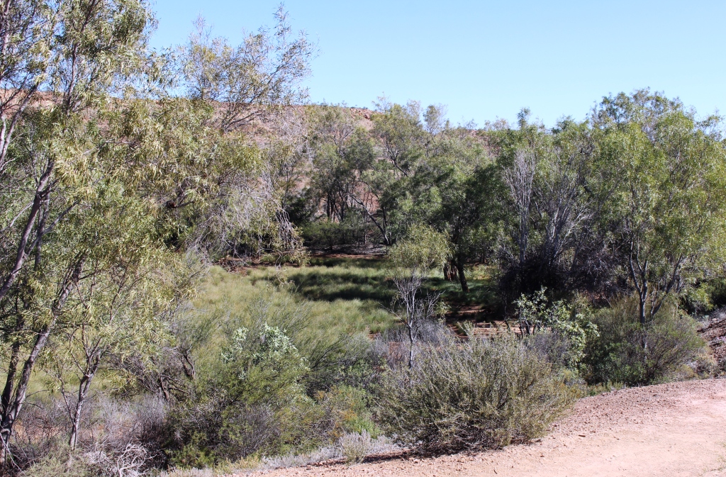
The green crater has a creek flowing into it
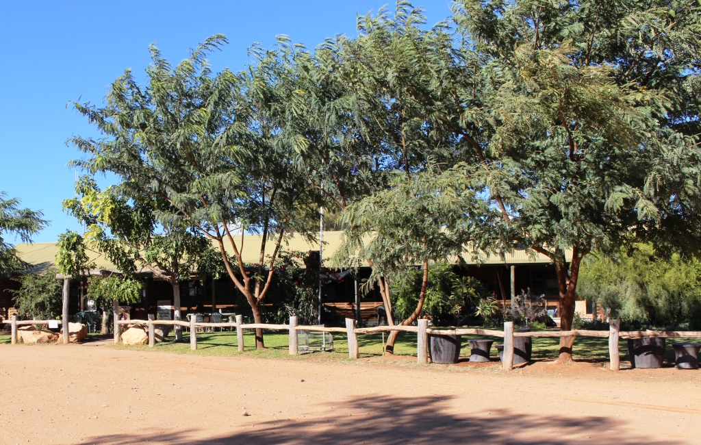
The meteorite produced some smaller fragments that lost momentum and fell short. They are far enough distant to not be part of the main exhibit, which involves a pleasant stroll of about 1.5 km. As is usual, the Northern Territory authorities have provided picnic facilities, a toilet and designated spaces for caravans and tents. But the area is exposed to the four winds and there is no shade other
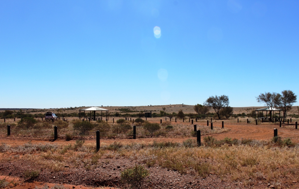
The National Parks camping area
than in the picnic gazebos.
And there are no souvenirs in the form of meteorite fragments. They are all long gone.