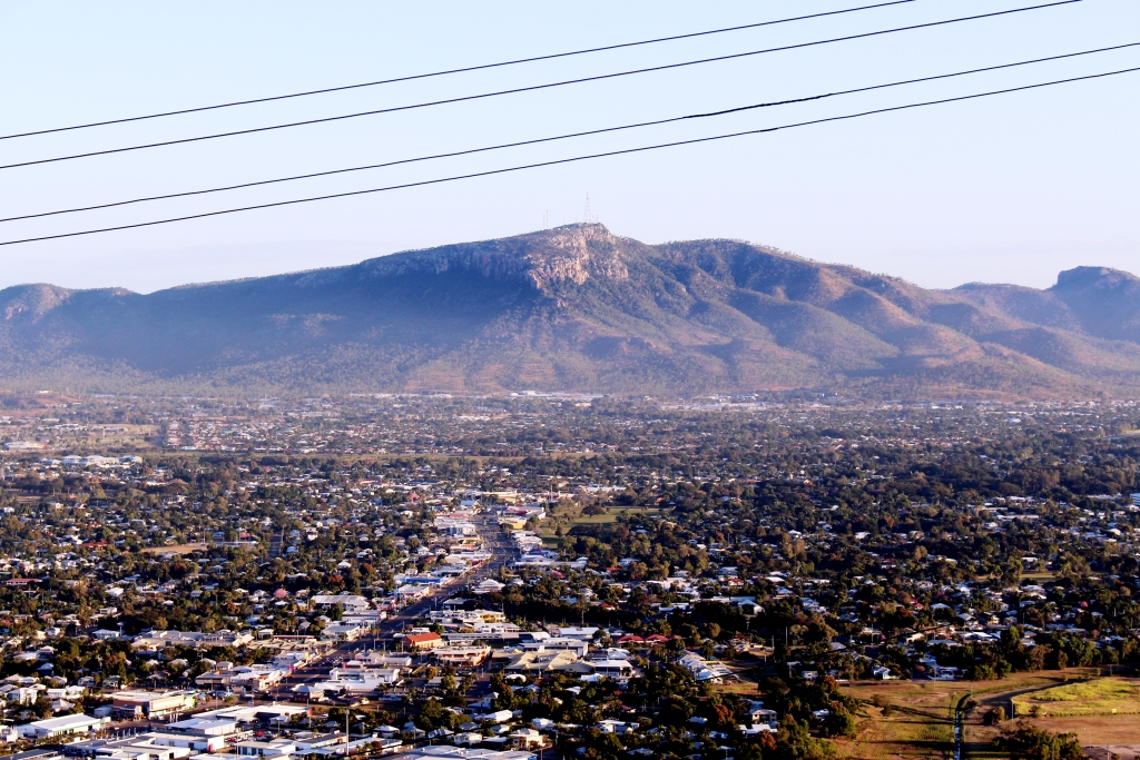
Townsville has a wonderful mountain. It is called Castle Hill. Its battlements tower over the Central Business District with the scenic Strand running along its eastern foundations.
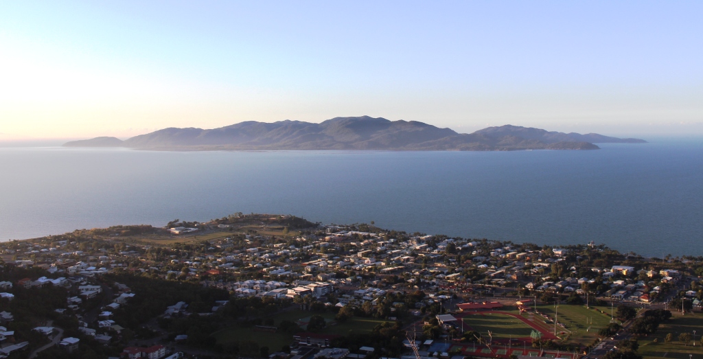
Magnetic Island offshore from Townsville’s beach side suburbs
Great views are to be enjoyed from this vantage point that sweep from Magnetic Island to the east, to the sprawling western suburbs and to coastal plains and mountains to north and south. To the south west stands Townsville’s other viewing platform Mount Stuart, with the regimented neatness of the Army’s Lavarack Barracks at its feet.
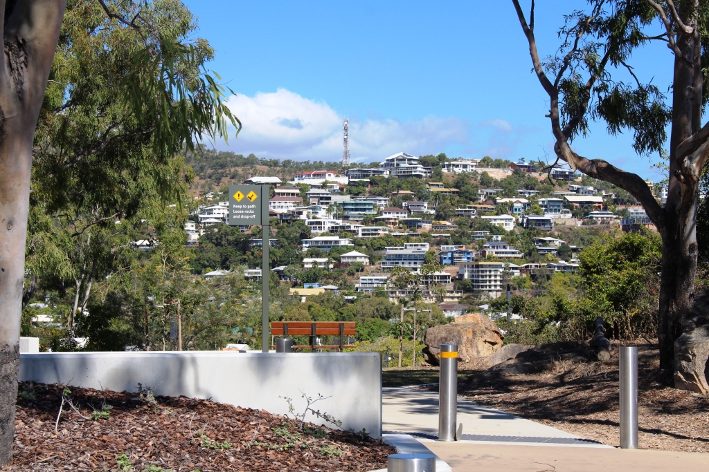
Hill side homes with views over Magnetic Island
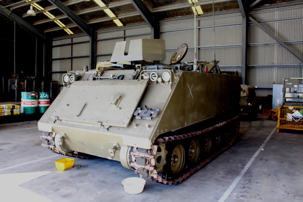
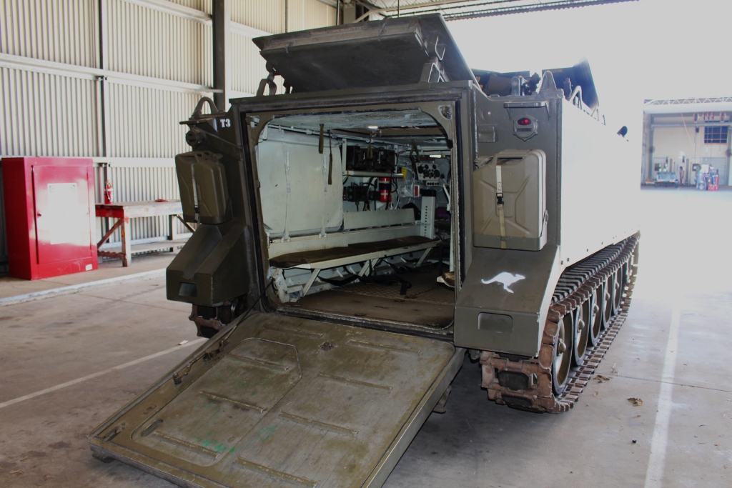
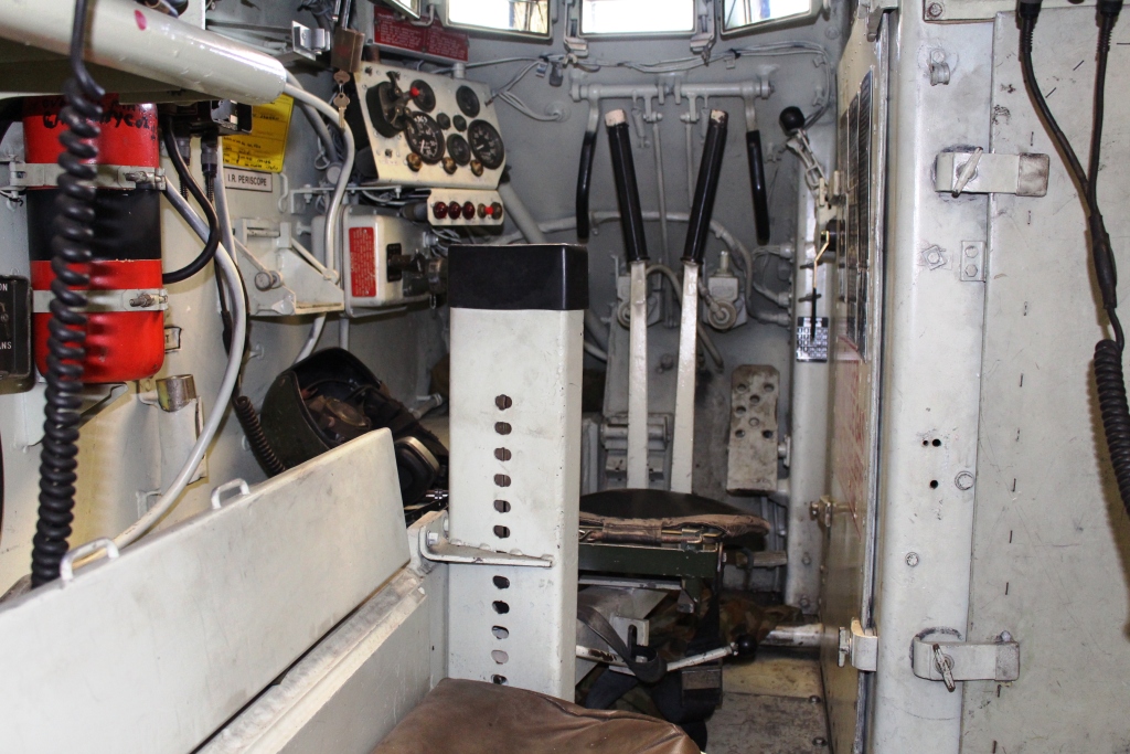
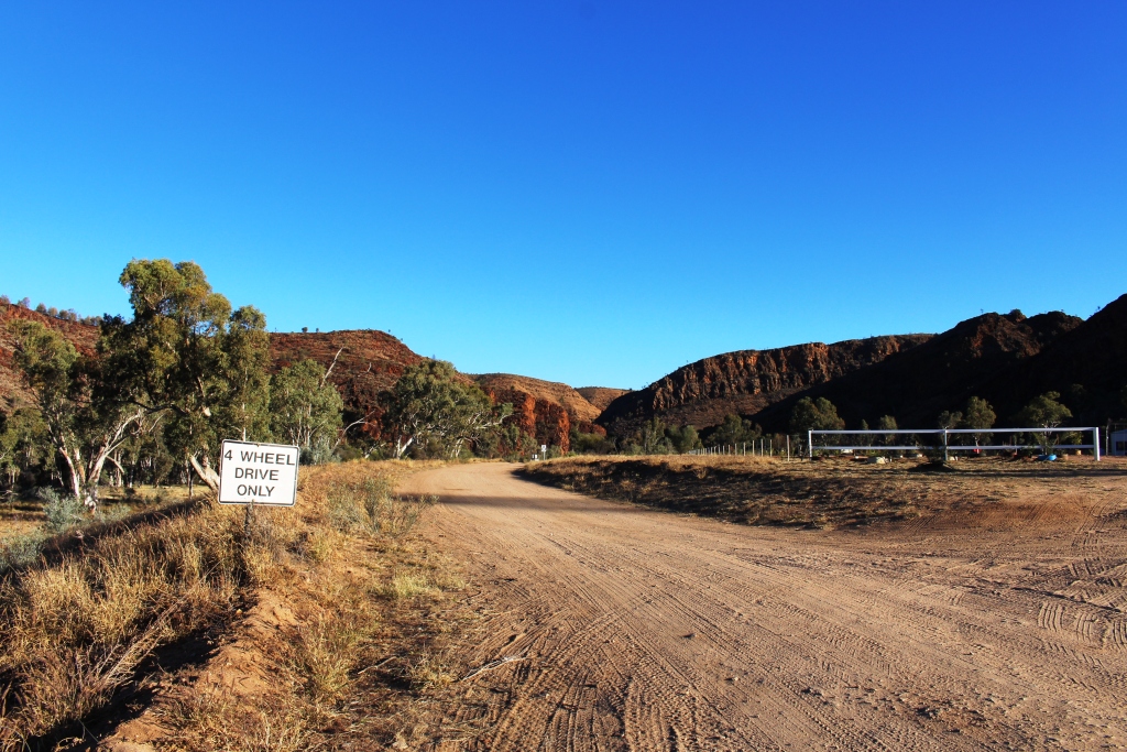
It took us two attempts to reach the summit of Castle Hill. The first attempt was thwarted by the phone call that confirmed our appointment with WO Hema at the military museum. We needed to find a place to turn around on the narrow and steep road to return to earth to keep our appointment. We only found turning space a couple of hundred meters from the top.
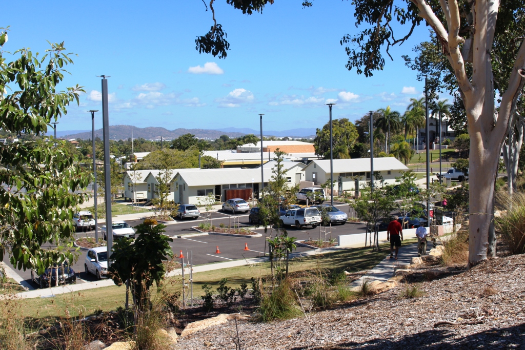
Our second attempt was later in the day, as sunset was approaching. We then discovered the extent to which residents of Townsville use this rocky elevation for exercise. The participants in this activity are mostly young and female but the slim black tighted majority

Misting station at the summit of Castle Hill
are interspersed with the not so slim, older men with looks of grim determination on their faces, the odd younger male on a bicycle. Young mothers with children in pushers were making the climb, some accompanied by young children on foot.
The Council has installed what could best be described as a misting booth at the summit so that hot climbers can cool themselves
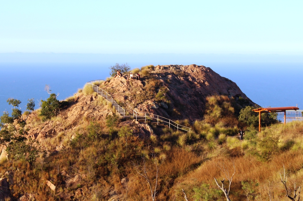
Climbers resting as they wait for the setting of the sun
at the end of the climb. It is not greatly used on a winter afternoon but probably very popular in hotter weather. Some climbers wait to get their breath back, in tranquil solitude or small groups, before starting down again. Others occupy one of the many vantage points to watch the sunset.
Our most northern point on the coast this trip was Ingham. We stayed for three nights so that we
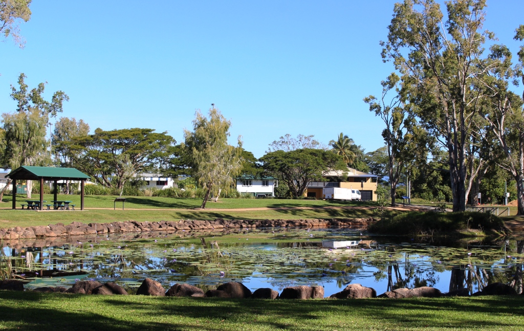
Ingham’s Tyto wetlands are worth a visit
had time to explore the mountains of The Great Dividing Range. This spine that runs the length of our east coast is never far inland in North Queensland. But first we used the afternoon of our arrival to take the drive to Lucinda, a small town adjacent to the southern tip of Hinchinbrook Island, to see the six kilometer long bulk sugar loading jetty.
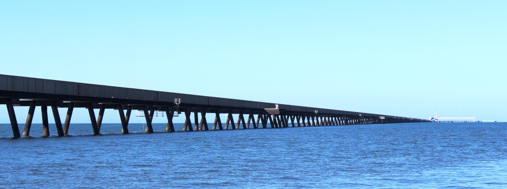
The six kilometre jetty seems to almost reach the horizon
It was a beautiful afternoon, warm with a light breeze. It is not possible to walk along the jetty, which is really a huge conveyor belt with a maintenance road on top, but we walked around the adjoining park, stopping to talk to other strollers or to watch workers replacing the roof of one of the bulk sugar terminal
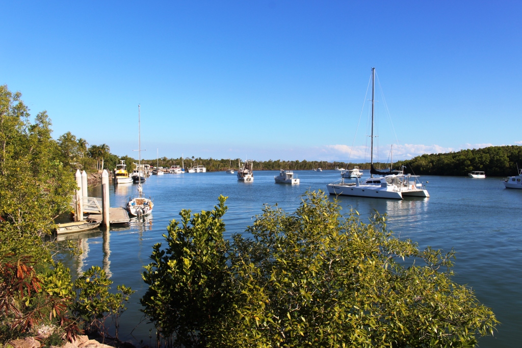
Boats at anchor at Dungeness
buildings. After driving the short distance to the neighboring town of Dungeness we refreshed ourselves with a restoring iced coffee as we enjoyed the view of the rugged peaks of Hinchinbrook.
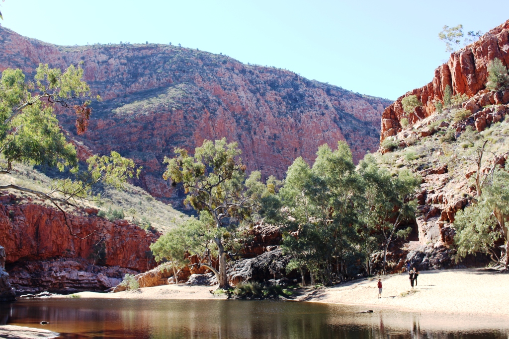
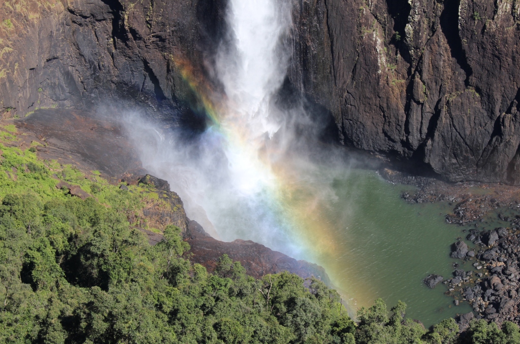
The main reason for our visit to the area, apart from our search for warmth, was to visit Wallaman Falls. For a water fall to be worth visiting, you need water. Last time we were in the area, dry weather had reduced to flow over the falls to little more than a trickle. Current flows are sufficient for a good show.

The full view of Wallaman Falls
Wallaman Falls, at a straight drop of about 230 meters, is the longest drop in Queensland. To get there you drive about 50 km west of Ingham, park in the area provided, then walk about 100 meters to the viewing platforms and there are the falls in all their magnificence.
The water tumbles over the edge of a precipice in a plunge that is unimpeded until it creates a continuous explosion of water on the rocks of the continuation of the stream into which it falls. Nature has dictated that the falls face about north east so are directly lit by sunlight for most of the day. The rays of the sun create rainbows in the spray. The rainbows move up and down the column of water, changing with the position of both sun and viewer. At times, from a particular position you can watch two rainbows move together to become one.
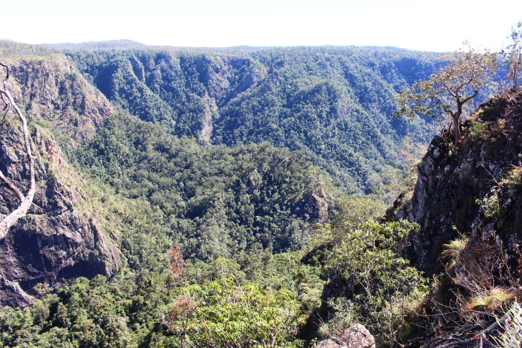
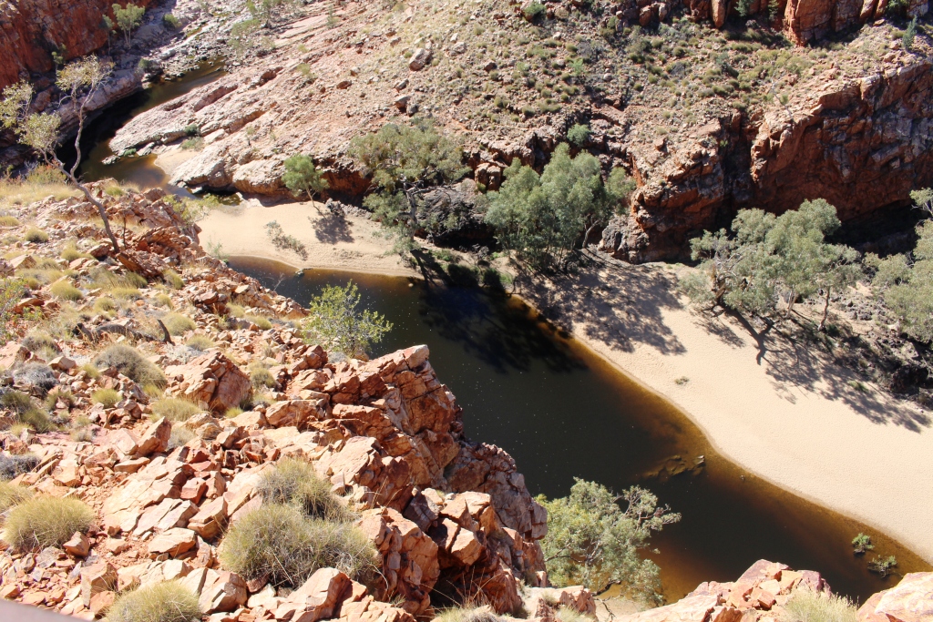
The gorge down stream from Wallaman Falls
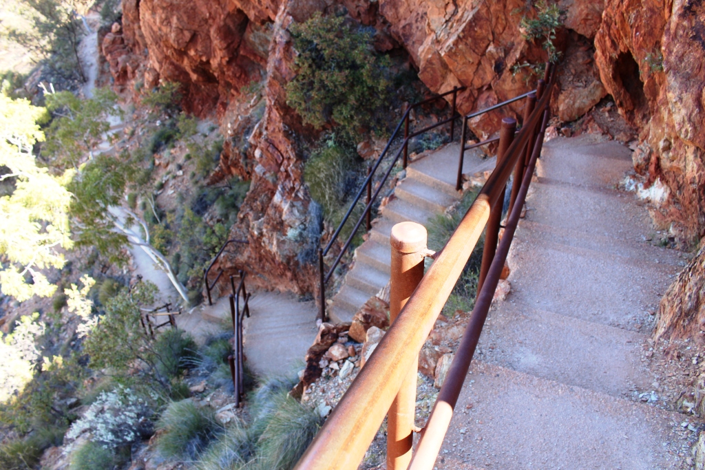
Those with much more energy than I possess can descend by a steep but well formed path to the foot of the falls and no doubt, from that changed vantage point, can view more rainbows in the spray. But the return journey is a kilometer multiplied by two. That requires a lot of energy.
The first 30 km of the drive is through cane fields and grazing
The rainbow in the spray
country. The final 20 km is up the mountain. The road is a good width, but steep and winding for most of the way. Only about 5 km remains unsealed and roadwork in the area suggest that this will soon be fixed.
On our way home we encountered the unexpected! We had slowed as we approached a creek crossing because of the rough surface and noticed that an approaching vehicle had pulled to our side of the road and stopped. So we stopped too. And there, walking casually along the road towards us was a fully grown Cassowary. It was in no hurry and walked within a meter of my open window. Then a third car approached, in a hurry, and the bird was gone, frightened back into the scrub.
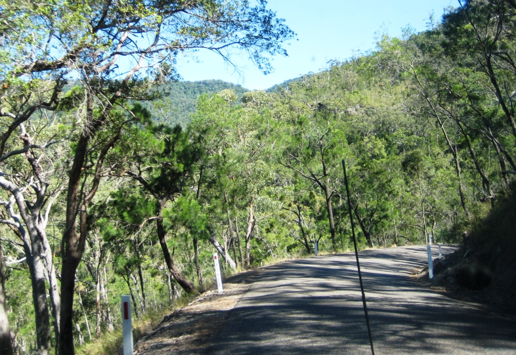
A sample of the narrow Mt Spec Road
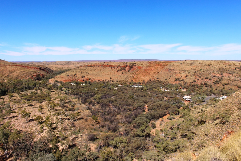
The following day we travelled about 40 km south on the Bruce Highway and drove up the Paluma Range to the mountain top town of Paluma and on a further 12 km to the Paluma Dam. We had tried to do this a couple of years ago but were thwarted by cloud over the mountain. About a kilometer from the top we had encountered thick fog. This time the sky was blue, without a cloud in sight.
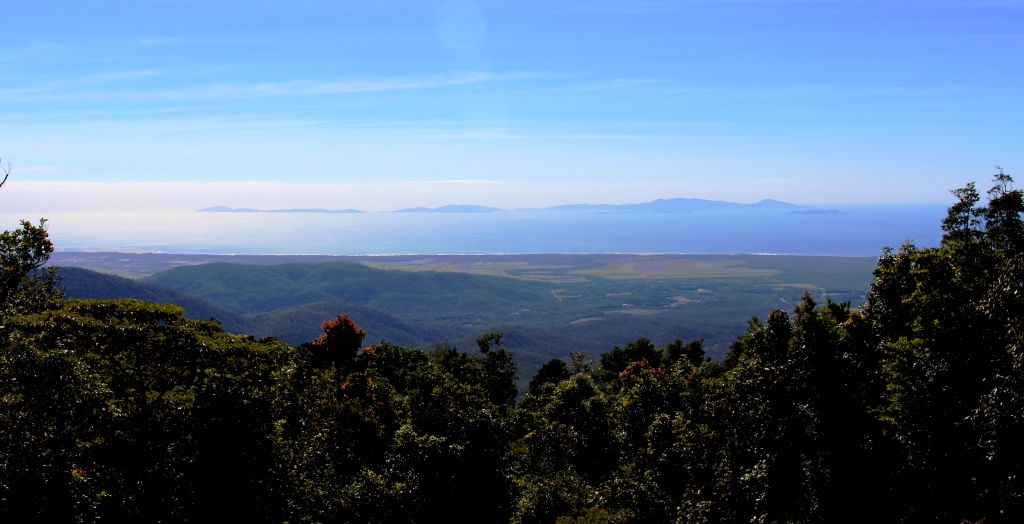
The view from near Paluma
The scenery is not of the standard of the Wallaman Falls drive but the lookout at Paluma provides sweeping views of the coast and off lying Islands, of which Palm Island is the most dominant.
Access is via Mt. Spec Road, which is interesting in its own right. Built during the depression, the construction was accomplished mainly by manpower with little mechanical assistance. The workforce was substantial, probably because men were more readily available than machines. The road climbs and twists its way to the summit providing tempting glances of the view to be seen from the lookout at the top.

Below the bridge over Little Crystal Creek
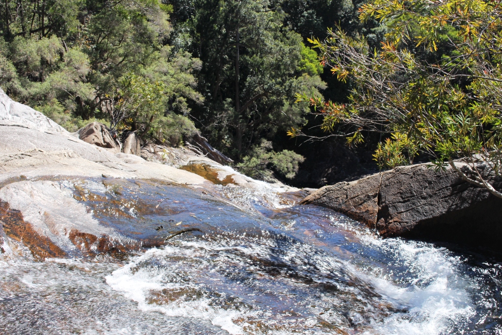
Certainly the most charming spot on the road is the bridge that crosses Little Crystal Creek. It is a single arch structure of concrete but beautifully faced with stone in the manner of so many historic bridges in Australia. But if you simply drive over it you miss the best. For where it spans the creek waterfalls tumble into rock pools that make great swimming holes on warm days. It is a magic place. The amenities block at the picnic area even has a change room.
At the top of Birthday Falls
The drive to the dam is through rain forest and over mountain ridges on a narrow gravel road. About halfway between the town and dam a clearing in the bush provides parking for those who go on the 500 meter walk to the top of the Birthday Falls and perhaps the 500 meter scramble to the bottom. We chose the former and while the view from the top is probably not as good as from the bottom you still get the idea of a stream of water plunging into a valley far below.

The waters of Paluma Dam
The dam is part of Townsville’s water supply but is also a favorite camp site for locals. We met a surprising succession of vehicles as we returned down the range. Paluma is probably something of a weekend retreat for Townsvillians and it was Saturday afternoon. We completed the day with a stop at the Frosty Mango for an ice cream as we returned to Ingham.