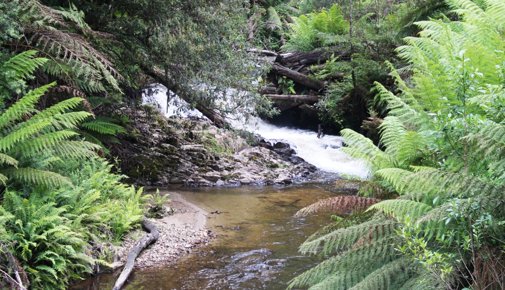
Waterfall near Mt Baw Baw
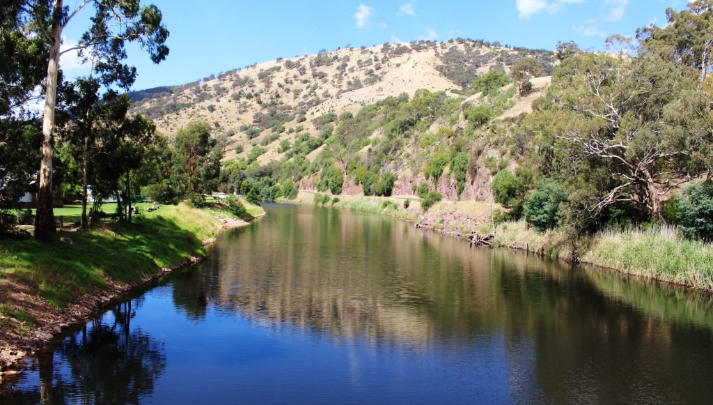
Our visit to Victoria in 2013 included some forays into Victoria’s High County, that alpine range of mountains that extends from the Eastern end of the Victorian border with NSW to the near North East of Melbourne. We had decided that we would come back for a closer look. The decision to spend Christmas with my Victorian siblings provided the opportunity. You see, our children had deserted US for Christmas. Craig and Anne took their children off to the USA to visit Disney Land and Briony decided to join them. Karen remained in India for Christmas. That had always been her plan for this year. My sister Aileen, kindly offered us a place at the Victorian Christmas Dinner table.
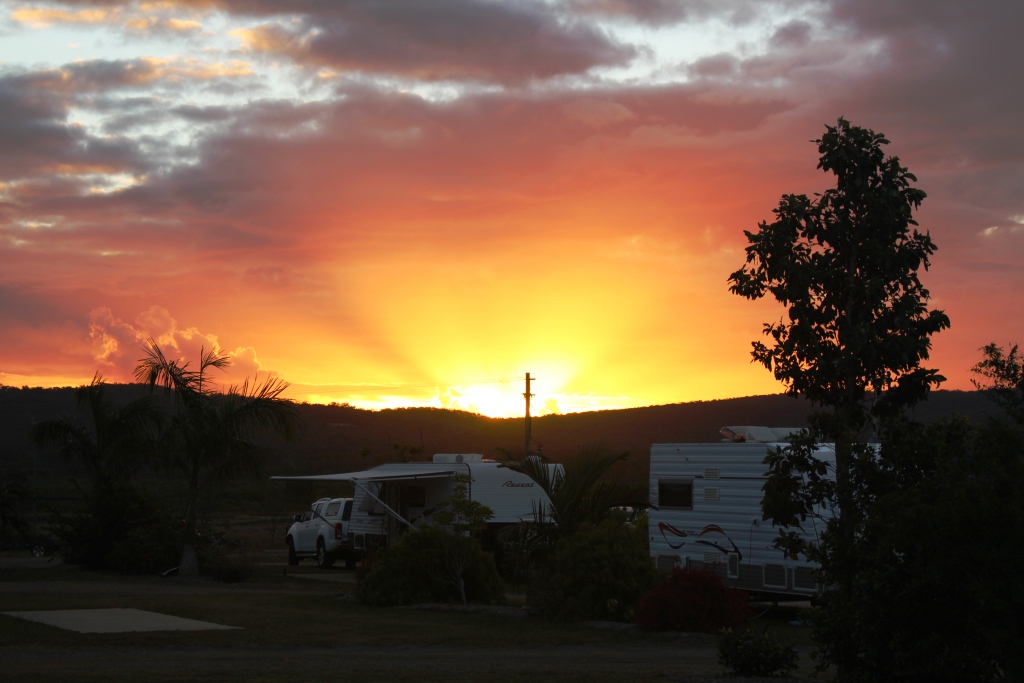
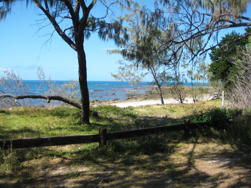
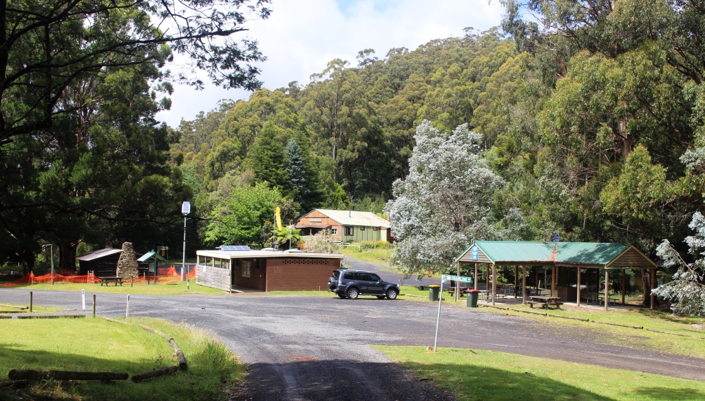
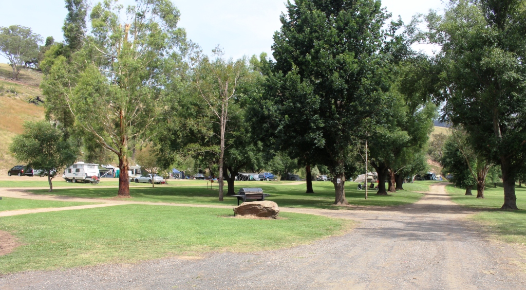
Of course, there was also our friends Thelma and Joe Licheri’s 50th wedding anniversary a few days before Christmas. We caught up with a number of old friends and had a pleasant few days. The period with the Gardners at Drouin provided the opportunity for the first excursion to the High County. On Boxing Day we visited Mount Baw Baw, now one of Victoria’s popular ski resorts.
The picnic area at Tanjil Bren, on the way to Mt Baw Baw
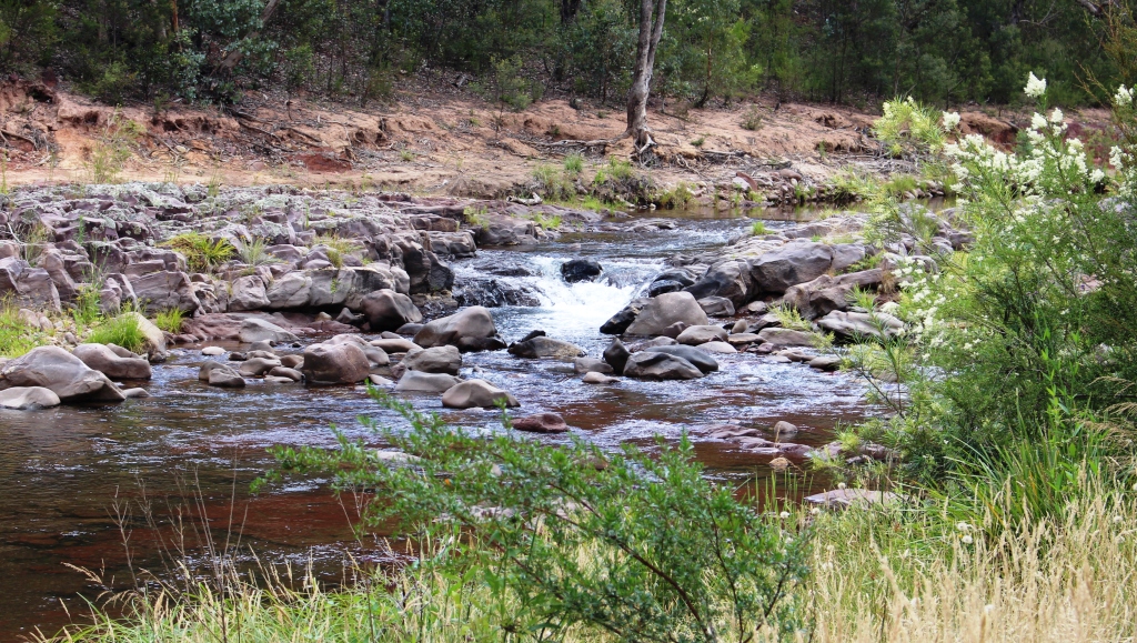
About 55 years ago, with me on a Vespa motor scooter and brother Winston on some sort of motor bike, we rode to the Baw Baw summit on the cusp of the ski season. Whether it was at the beginning or the end of the snow season I do not recall, but I do recall that Winston stepped on some unsupported snow and disappeared from view. I had to haul him out.
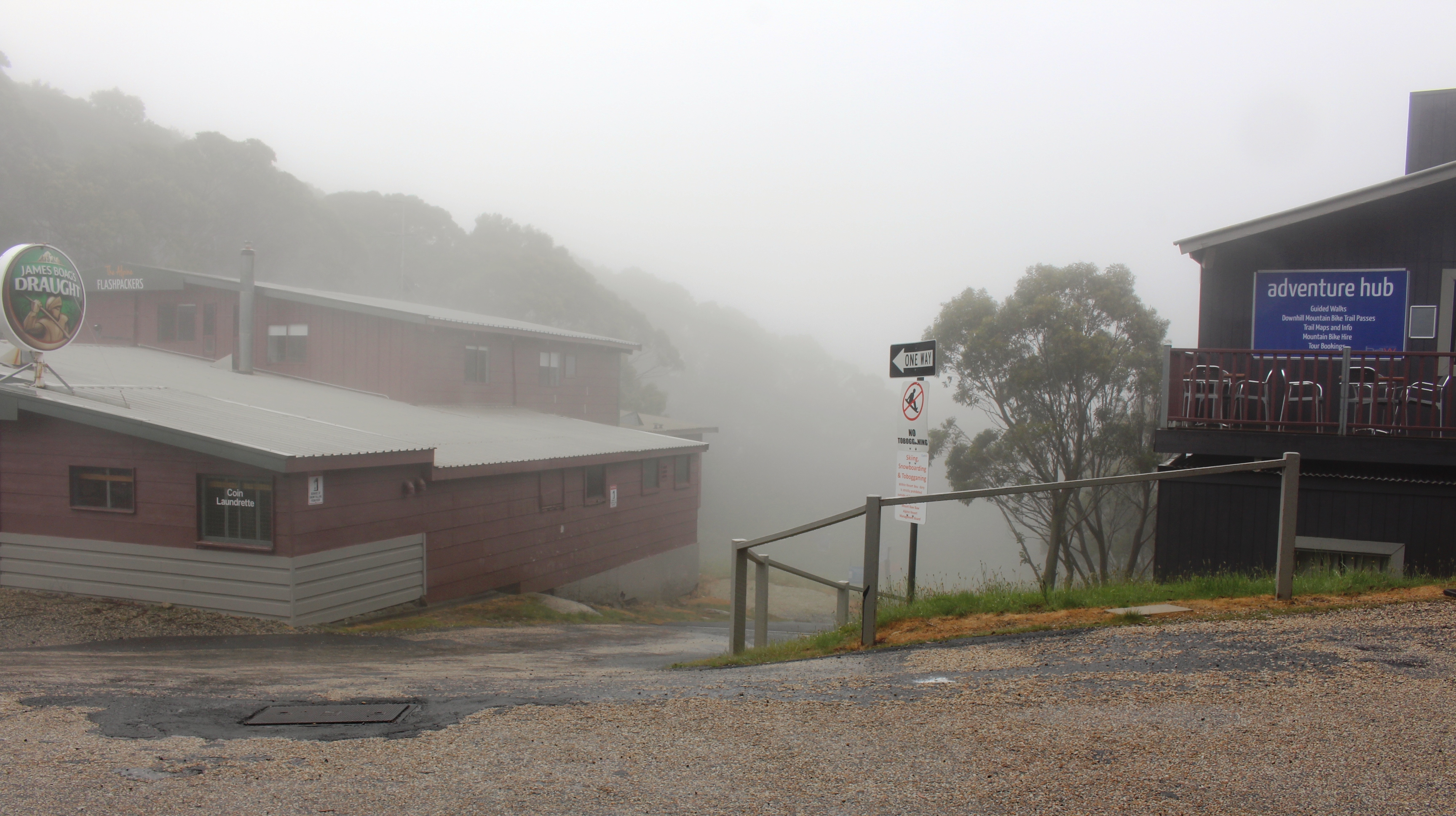
Down a foggy street. There was not much doing down there at this time of the year.
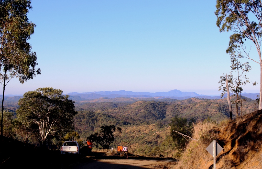
In those days the resort was a few basic lodges with a gravel road of indifferent quality, leading to what passed as the resort centre. It is now a modem resort and can be reached by a good quality sealed road. We drove from Drouin, via Neerim South and Noojee, names familiar from years gone by. There are no guarantees when visiting mountain regions and we arrived at a mountain cloaked in mist to about 300 meters below the summit.
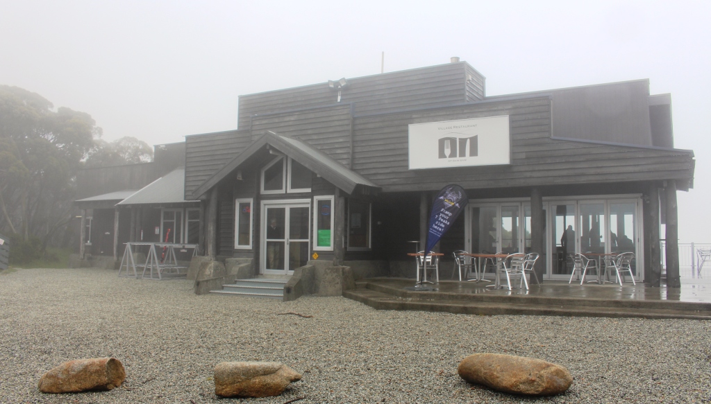
Our luncheon destination sans views
An Internet search and a phone call had assured us that food would be available and we lunched in a modern establishment with floor to ceiling glass that would have given us superb views of the mountains, except for the mist, of course. But lunch was most enjoyable and at its conclusion we returned below the mist line to return home via a partially different route.
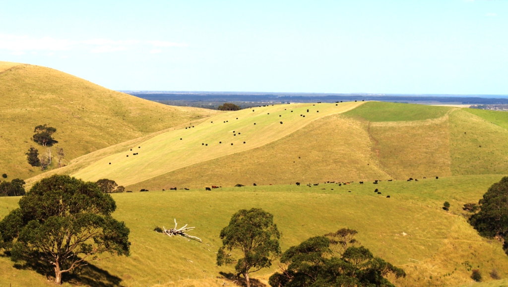
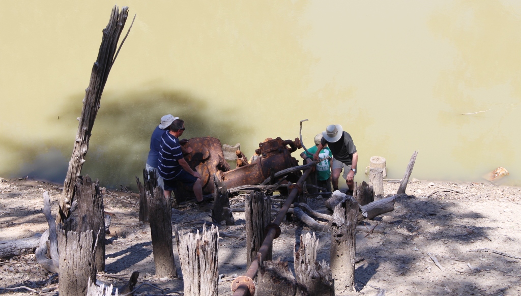
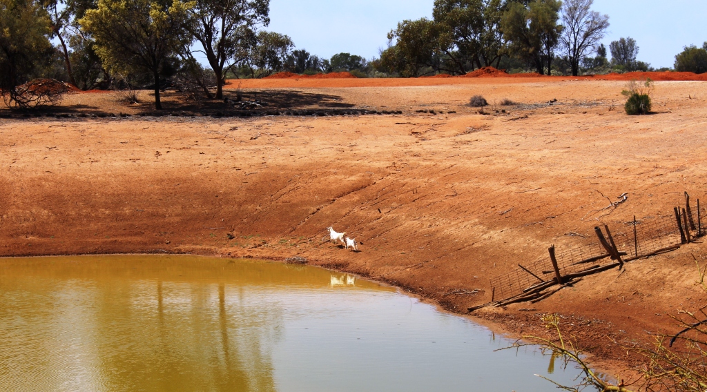
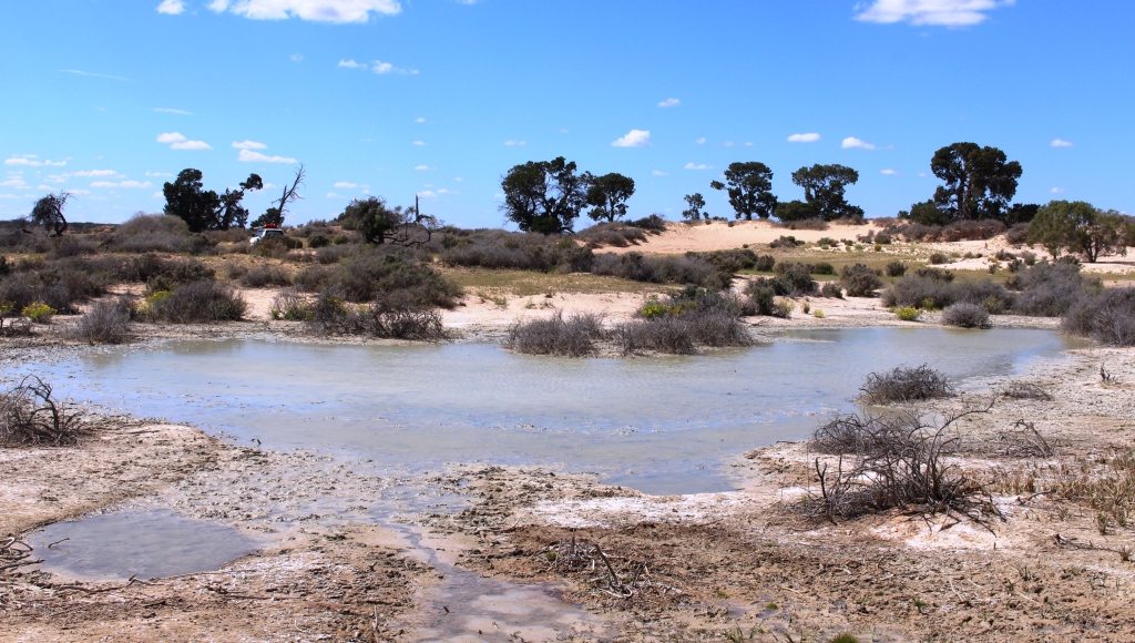
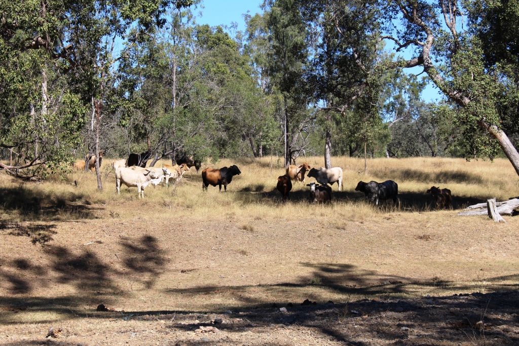
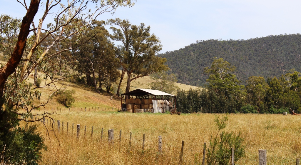
How many cows? Our travels in the outback have made us unaccustomed to such stocking density. Photo in South Gippsland overlooking Corner Inlet.
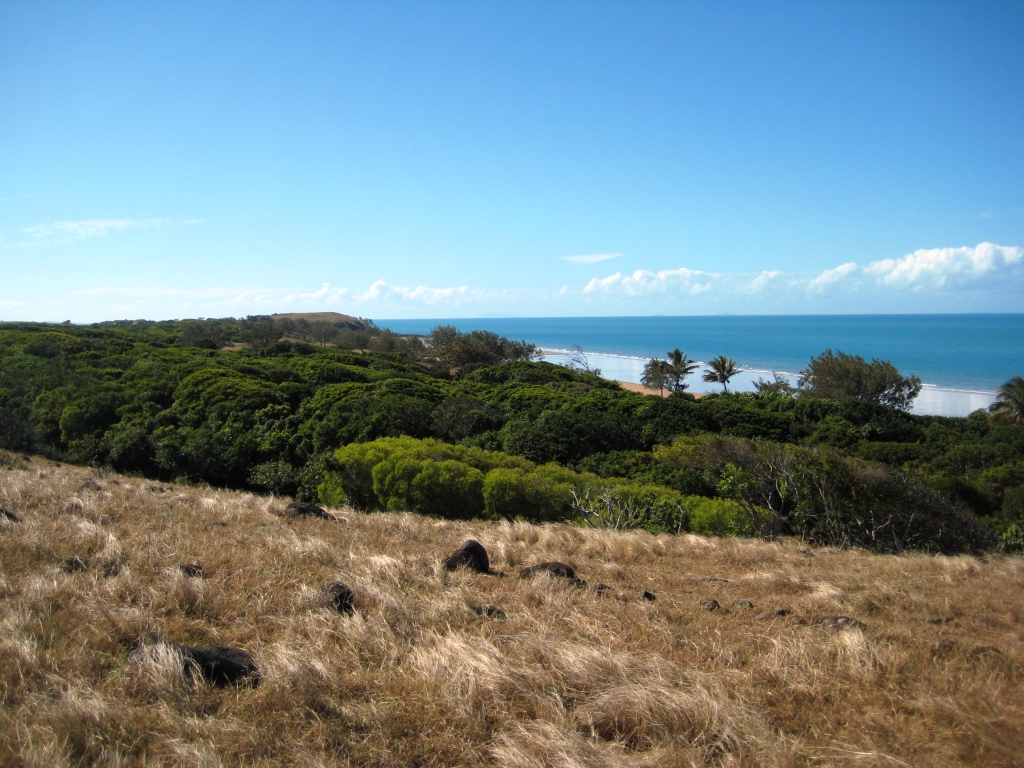
We left Drouin on the day after Boxing Day to travel to South Gippsland. We spent two nights in Foster which we used as a base to make a day trip to Tidal River on Wilson’s Promontory. The popularity of this tourist spot has not diminished the stunning beauty of the area, even when shared with a large proportion of Victoria’s population. It is on our list for a longer visit at a quieter time.
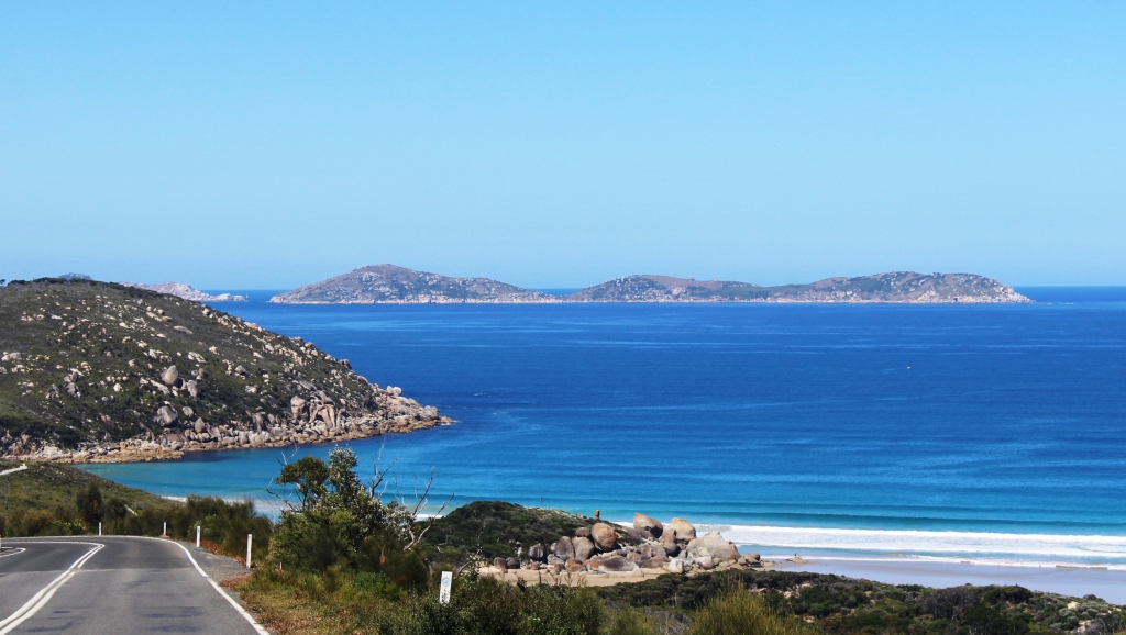
The stunning Glennie Island group come into view as the road returns to the coast not far from Tidal River.

Norman Beach and the mouth of Tidal River.

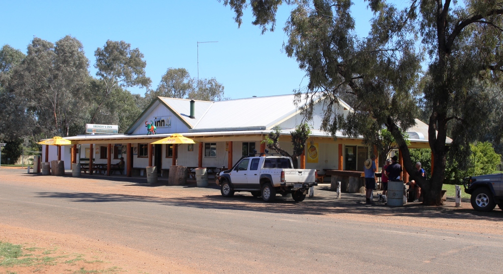
Licola General Store. It has just about everything that a camper needs.
The second excursion to the High County was again to visit a scene of my youthful activities. My first acquaintance with Wilson’s Promontory was to hike in to the lighthouse at the southern tip. Licola was another old hiking destination. I went there to hike into secluded Lake Tali Karng. As I recall, and it was a long time ago, we drove several kilometres along
The Macalister River Valley as you approach Licola.
the Tamboritha Road, parked the car and began our hike. We spent the first night camped on the side of a hill. I remember hauling myself back into the tent a couple of times during the night, as the slope on which we had to camp made it difficult not to slide out, under the wall of the tent. We made it to the lake next morning, camped lake
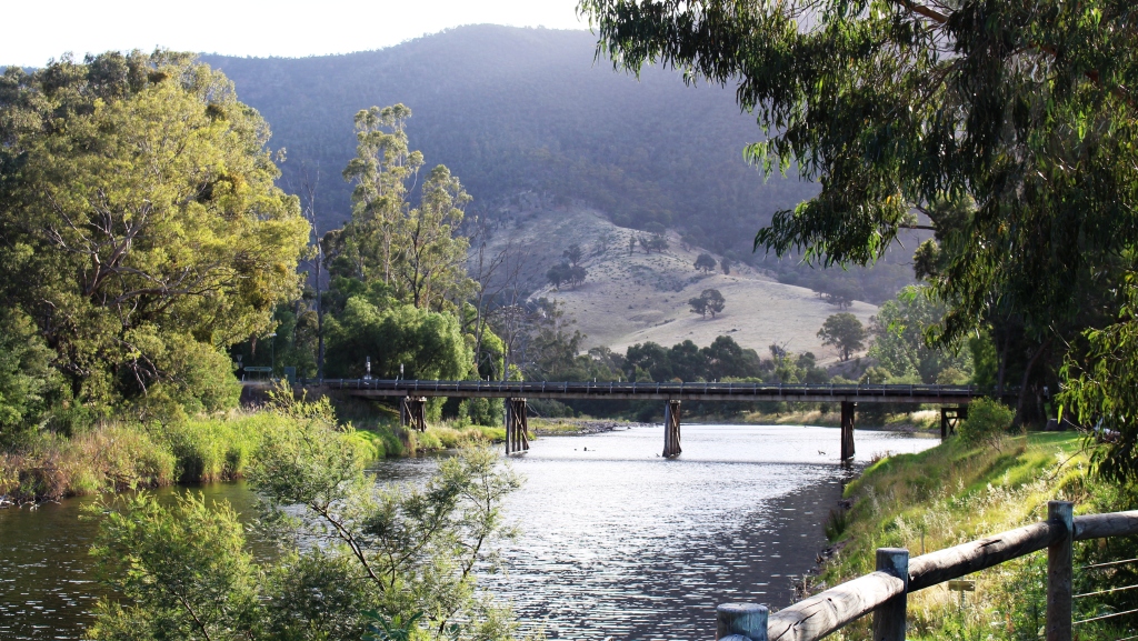
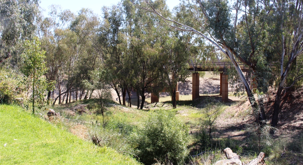
The Bridge over the Macalister at Licola.
side the second night, walking out by a different route on day three. This route brought us out further up the Tamboritha Road, giving as a longer walk along its muddy surface. Fortunately a utility came along, and in what would be illegal today, loaded us and our packs onto the back and delivered us back to our car.

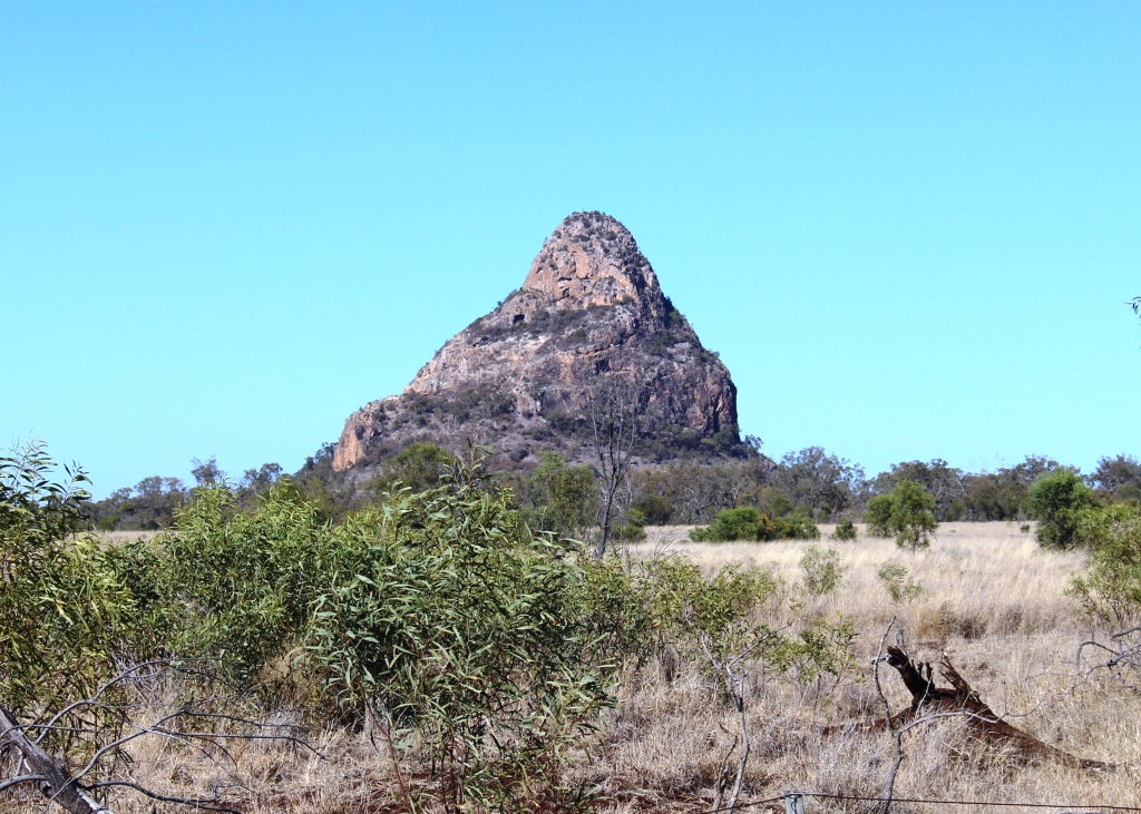
Lake Tali Karng is located at the foot of this mountain.
The attraction of the lake is simply that it is there. Located in the midst of towering mountains it was formed about 1,500 years ago by a large rock fall from The Sentinel, the mountain peak that towers above it. The rock fall dammed the waters of two creeks, forming the lake. Water has never flowed over the rocks but seeps through them, the escaping stream forming the headwaters of the Wellington River.
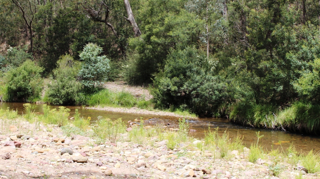
The first river crossing on the Wellington River Track to Lake Tali Karng. There are 16 such crossings.
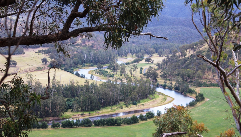
Licola is a former timber milling town that now exists for the bush camping and four wheel drive fraternity. Now quite small, it snuggles in a ravine between the Macalister River and hills that encroach on the valley. The Macalister meanders through a narrow valley for most of its journey, presenting many idyllic views from the road that traverses the hills that constrain it.
The tranquil Macalister River beside the caravan park at Licola.
Glenmaggie Weir, just north of the small town of Heyfield receives its waters.
A few kilometres up stream of Licola the Macalister is joined by the Wellington River and as you already know,Lake Tali Karng is located in the headwaters of the Wellington. The sealed road now ends 22 kilometres along the Tamboritha Road, at the car park at the start of the Tali Karng walk. The Wellington Track generally follows the Wellington Valley. The walking distance to the lake is 17 kilometres and 16 river crossings. Hikers on this walk expect wet feet.
The Wellington River ripples past free camping areas provided by Parks Victoria.
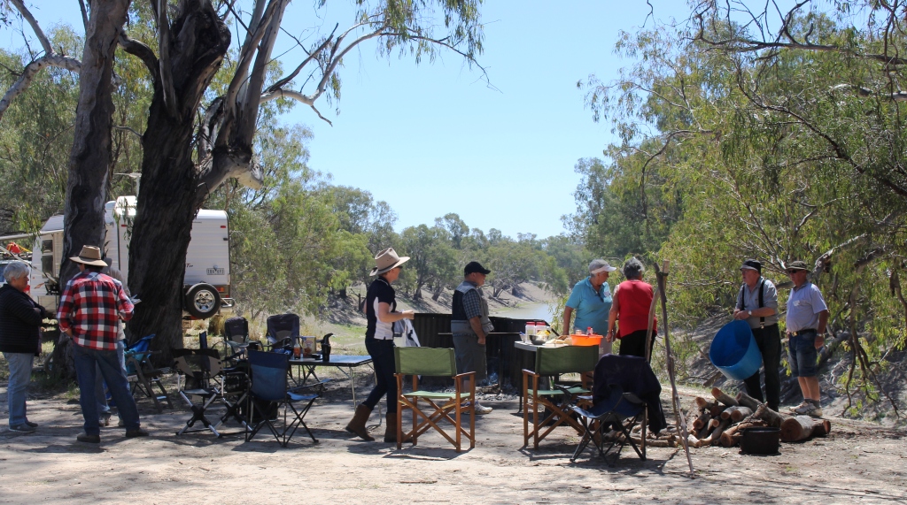
Between Licola and the Tali Karng car park, the Victorian Parks Authority have provided about a dozen bush camps, all of them beside the river. All are free of charge to users and equipped with a single long drop toilet at each site. The sites are sufficiently extensive to provide privacy for campers who claim sites on a first in best dressed basis. A few campers had set up and there were lots of unoccupied sites.
Rather clever positioning of a cattle yard at Tamboritha Saddle, 1300 metres above sea level.
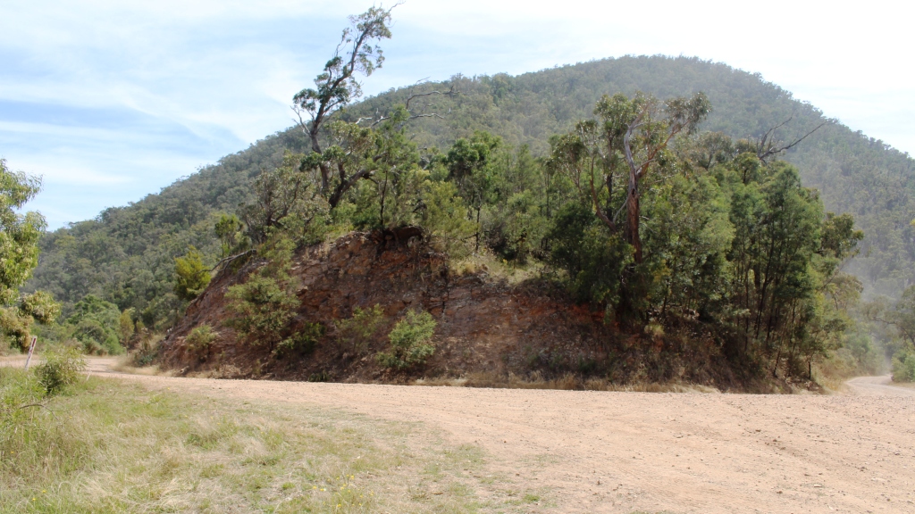
We drove on past the Tali Karng car park, on the gravel road, for about another 15 kilometres, firstly to take in the view at Benison’s Lookout and then to the Tamboritha Saddle. Signage at Benison’s Lookout describes the mountain panorama, identifying the location of the lake and the prominent features of the terrain surrounding it. To me the list was a litany of forgotten names from the distant past.
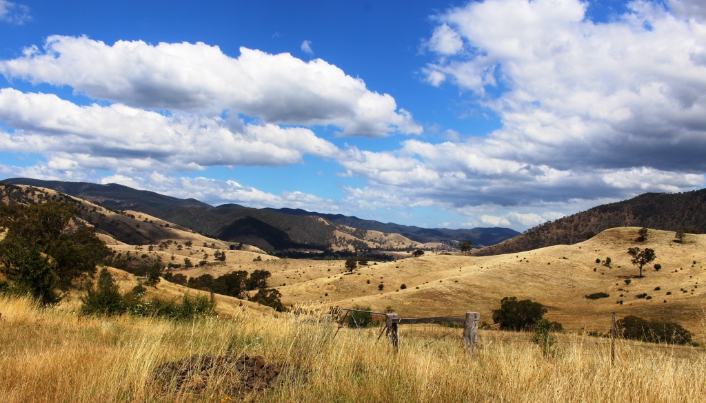
A view along the Macalister Valley from the Licola to Jamieson Road.
We enjoyed our picnic lunch at Tamboritha Saddle, parked under a shady eucalypt, beside the rough log fence of a cattle yard that dates back to the days when grazing of cattle in the summer months was legal. The canny cattle men chose a site where twin trees, suitably spaced, support the rails of the cattle loading ramp.
We had reached an altitude of 1,300 meters, so jackets were necessary to deal with a strong cold wind, but it had been cool all day. Good old Victoria in the summer. Scorching one day; freezing the next.

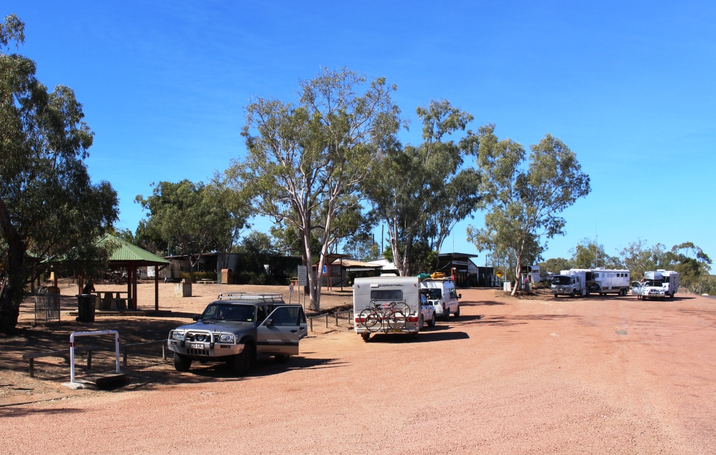
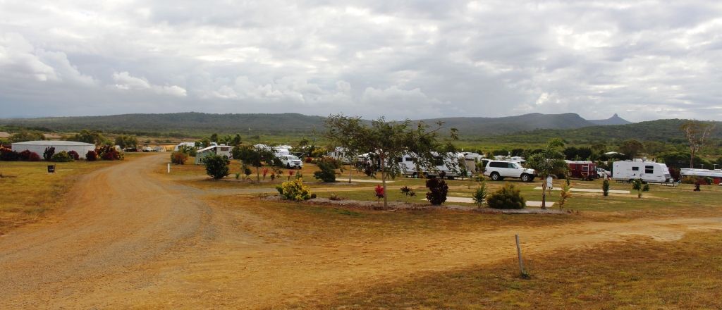
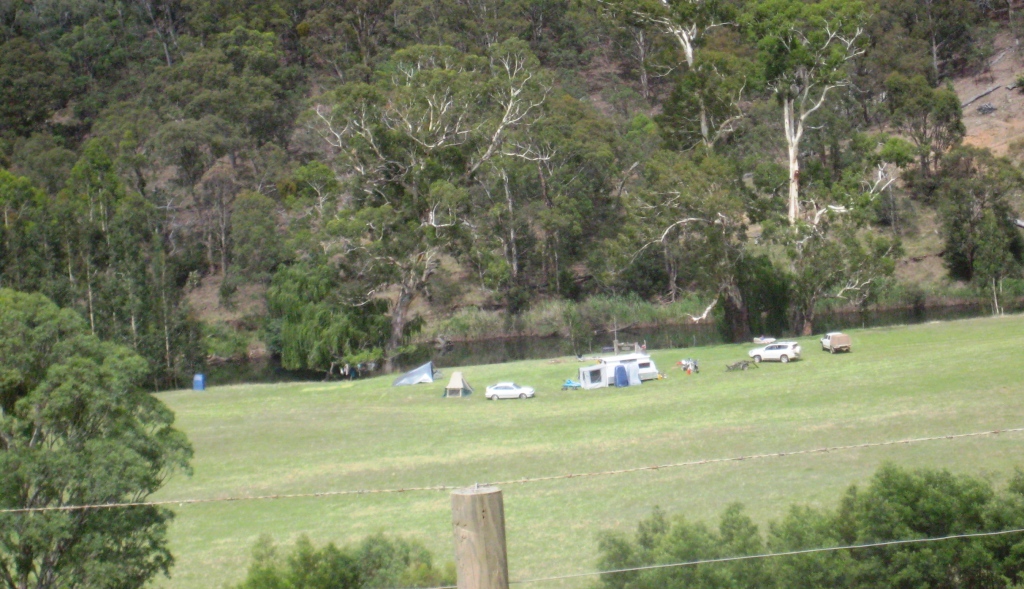
Wonnangatta Caravan Park viewed from the road above.
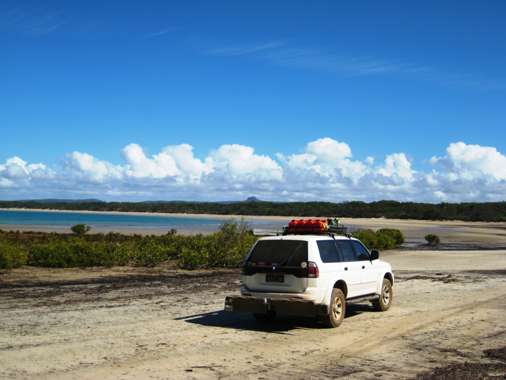
The following day we moved beyond my youthful stamping grounds, but still within the High Country, to the Wonnangatta Caravan Park at Riverford near Dargo. This section of the Victorian Alps is particularly favored by the Victorian FWD community, so articles about it regularly appear in the FWD media. And I have long held a desire to drive over the
The broad spaces of the caravan park from ground level.
Dargo High Plains.
The Wonnangatta Caravan Park provides an excellent base for this part of the High County. Arriving on New Year’s Eve, as we did, we found ourselves in close proximity to a large group who had gathered there for the purpose of celebrating. But they were thoughtful and kept the volume of their boom box well down. We knew that 2014 had gone when we were woken by shouts and car horns. The celebrating group were packing when we left on our day trip. When we returned at the end of the day there was only unoccupied green grass to look at.
This sharp bend was the departure point for Collins Track and out eventual morning tea stop.
Our plan for the day was to get to the old gold mining area of Talbotville if possible, but generally to gain an appreciation of the Wonnangatta and Crooked River Valleys and the mountains that surround them.
Wonnangatta Road starts at the caravan park, running along the top of the hill above it. When studying the map I had noticed Collins Track turned off the road not far along and lead to Collins Hut, which I took to be one of the many miners and cattle men’s huts that dot the area. The map symbol suggested toilet facilities, which made it an ideal morning tea stop.
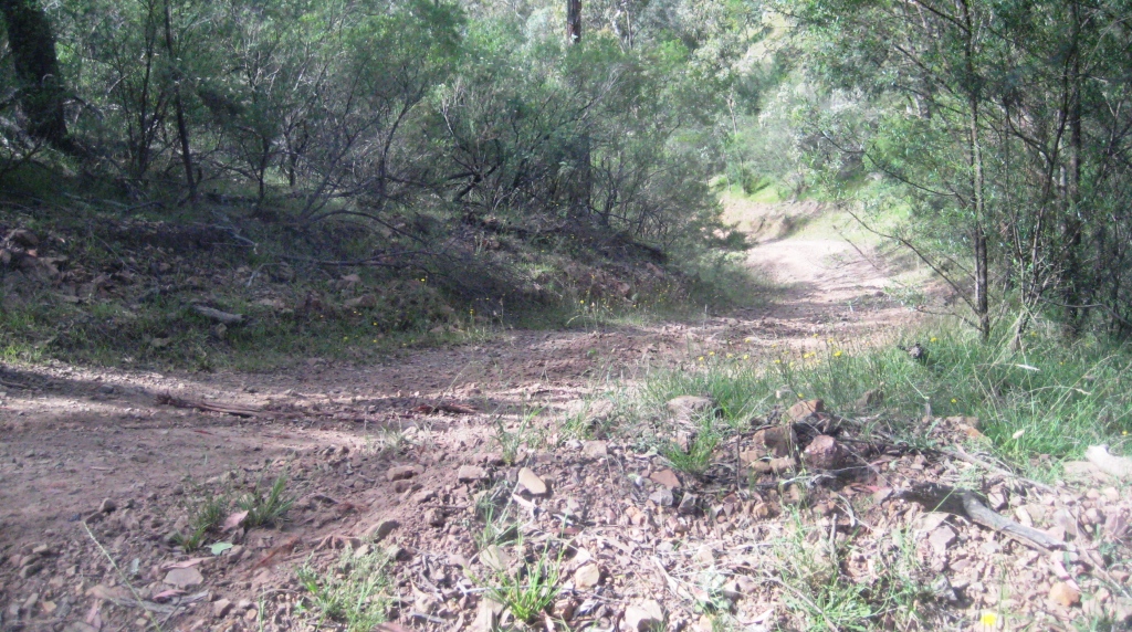
This is where we turned around on Collins Track.
The track was in quite good condition but steep and it became steeper as we descended in low range and low gear. I glanced across at Ruth. The whiteness of her knuckles was plain to see. There are times when discretion is the better part of valor. “Should we turn around?” I received an immediate affirmative response. So we climbed back up to the road and
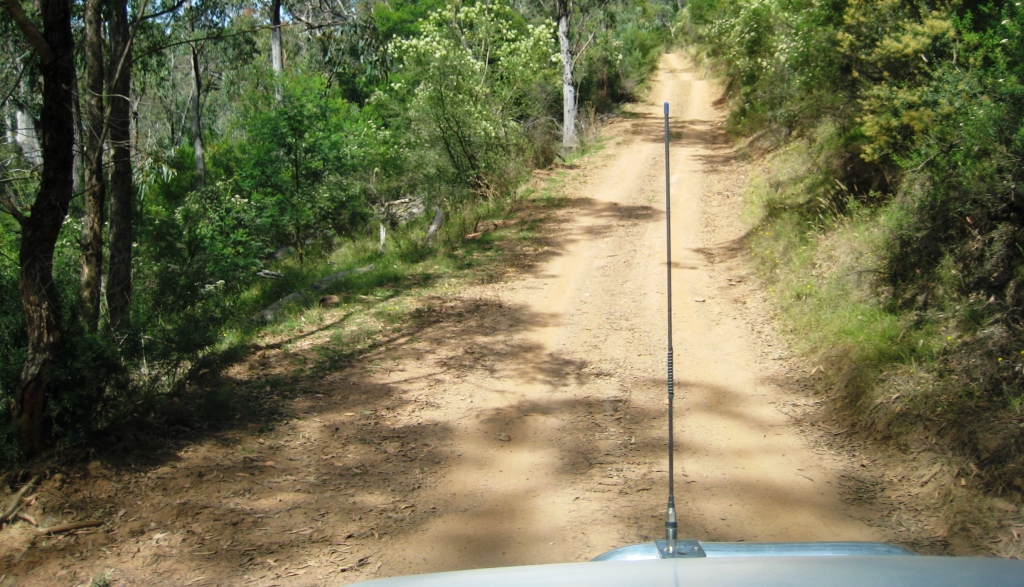
Coming back up Collins Track.
Farms continue to operate in the mountain valleys.
parked beside the entrance to the track. Ruth made coffee while I reduced tyre pressures to improve the quality of the ride.
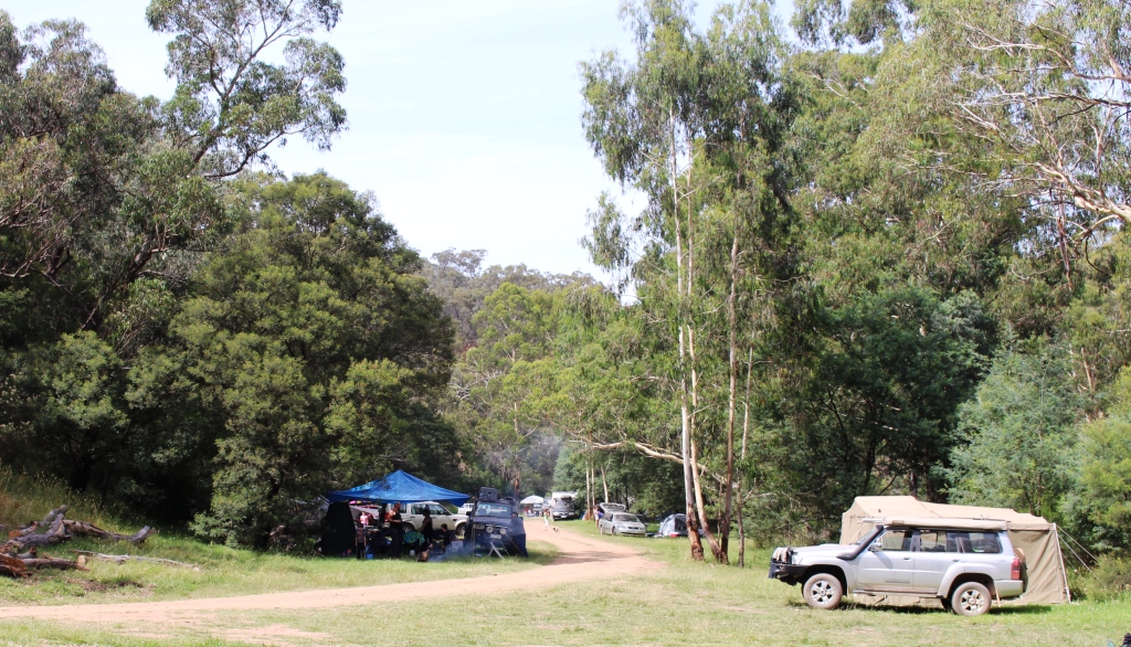
Campers in a free Perks Victoria camp site. I excluded the long drop loo from the photo.
A cloud of dust down the hill, in the direction that we were heading, suggested a 4WD convoy. The leader of a Great Divide Tours tag-along convoy paused to say “Good Morning” and plunged into Collins

Farm lands along the Wonnangatta River.
Track, followed by 6 or 7 tag-along customers who each paused at the entrance to the track to sight the next vehicle, as protocol and safety requires, before themselves plunging down to track. About 10 minutes later we heard the leader inform his followers on the radio that the track was closed and they
would be moving to plan B. We heard them again later in the day but didn’t see them again. So we didn’t miss anything.

Kingwill Bridge over Crooked River west of Dargo.
About 20 kilometres by road from the caravan park a rather rustic and attractive bridge spans the Wonnangatta. It is Kingwill Bridge. In earlier days it would have kept the main road open during times of higher river levels. So as not to spoil the fun, upstream from the bridge is a river crossing where 4WD enthusiasts can get their wheels wet. We were entertained by some of them when we later parked there for lunch.
Not far upstream from the bridge the Wonnangatta is joined by the Crooked River which is an extension of the Wongangarra River. The Wongangarra rises near Mount Hotham while the Wonnangatta continues to the north west towards Eildon Weir. Its headwaters are divided from those feeding Eildon by the highest ridges of the Great Dividing Range.
Water from the Wonnangatta, Wongangarra, and other rivers, flow into the Mitchell and then through Bairnsdale to the Gippsland Lakes. The waters then enter the ocean at Lakes Entrance to add to the waters of Bass Straight. Eildon waters, those that are not used for drinking and irrigation, flow to the Goulburn and thense to the Murray and the Southern Ocean at Goolwa in South Australia. Aren’t our rivers fascinating?
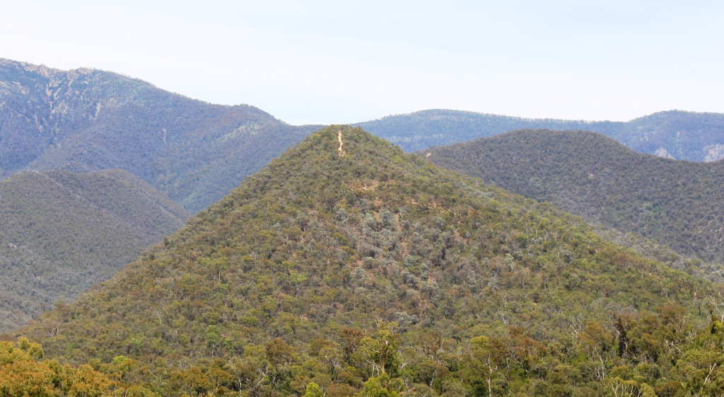
Members of the Four Wheel Drive community come to this area to drive the mountain tracks like this one to the summit of Billy Goat Bluff.
Ignoring for the moment the Talbotville Road sign at the near end of the bridge, we crossed and drove on for about another ten kilometres, travelling through grassy valleys with isolated farm houses and over ridges to reach the next valley and at times on ledges cut into the rocky cliffs that send the stream rippling off in another direction.

But if you can’t drive them it is OK to look. Note the track at the top of the range?
And then there are the camp sites. Mostly visible below the road, some are in officially sanctioned bush camps, sighted by a river and supplied with a solitary long drop toilet, but many more are on farm land nestled under shade trees where the green pastures meet the river bank. I wonder how they got to know the farmer to get permission.
These folk must know the farmer.
The camps are not restricted to tents and camper trailers but include some of the largest caravans on the market. The roads are reasonably good but there are narrow parts where someone would have to back up. I thought of them later when we met a ranger in his utility on a very narrow section of the Talbotville Road. He reversed to find a wider place for us to pass but I think his outside wheels were supported by not much more than air as we squeezed between him and the side of the cutting.

The crossing near Kingwill Bridge allows 4WD owners to wash the dust from their wheels.
We followed this road for about ten kilometres as well but not knowing how much further it was to. Talbotville and knowing that there were several water crossings of unknown depth, we decided to retrace our steps to Kingwill Bridge, where we parked on the river bank in the shade of a large tree.
There are 4WD tracks everywhere
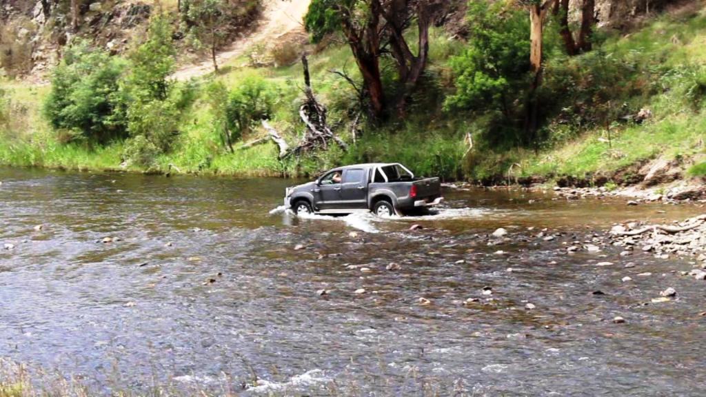
And here is someone actually washing their wheels.
in this area. Most people who come here do so for the tracks, although many simply like to camp beside the rivers and creeks. And we saw one man, dressed in what appeared to be trout fishing attire, closely examining a stream.
Our two way radio was scanning all 80 channels, so we could hear the chatter of groups in the hills near us. I lost track of the number of times that I heard the word “awsome” used to describe the track they were driving.
Farms continue to operate in the mountain valleys.
A group that we had been monitoring came out of a nearby track and towards where we had stopped for lunch at Kingwill Bridge. Once the leader saw the water crossings the bridge was forgotten. First the leader crossed, exercising due caution as befits a leader. Then two girls in a twin cab ute carefully crossed. It may have been their first water crossing. Then the third and last crossed with speed, throwing water up in a great spray, just like the professionals do on TV. Finally numbers 1 and 3 raced each other back across, water spraying all over their vehicles. Perhaps they were just washing off the dust from the track.
Lunch complete, we made our way back to camp, pausing to use the hill behind the caravan park as a vantage point for photographs. But not before we had communicated with the outside world. We had virtually no Telstra coverage at the caravan park but 4 bars there in the middle of the mountains.
Our plan had been to leave next morning via the Dargo High Plains Road to Hotham, then on to Omeo to drive the Omeo Highway. But that was not to be. The camp manager came around on his quad bike to advertise that weather patterns had moved more quickly than expected so that the following day was forecast to be 40 degrees with a total fire ban.
We though about it overnight and decided that it would not be smart to go deeper into the bush in such weather, so decided to retrace our path to the coast. That took care of our plans to see more of the High County. So it is back on the bucket list with other new and unfinished adventures.