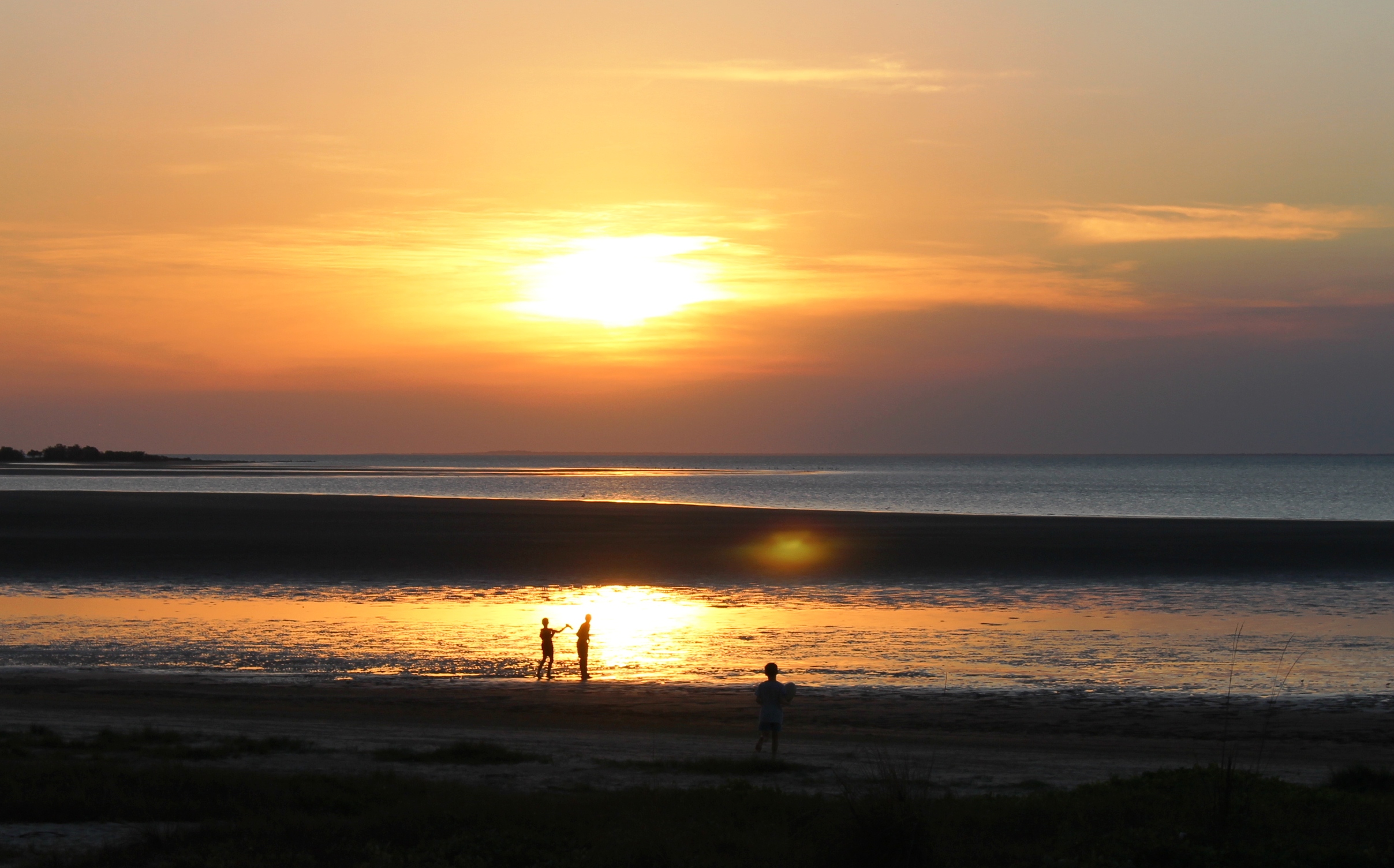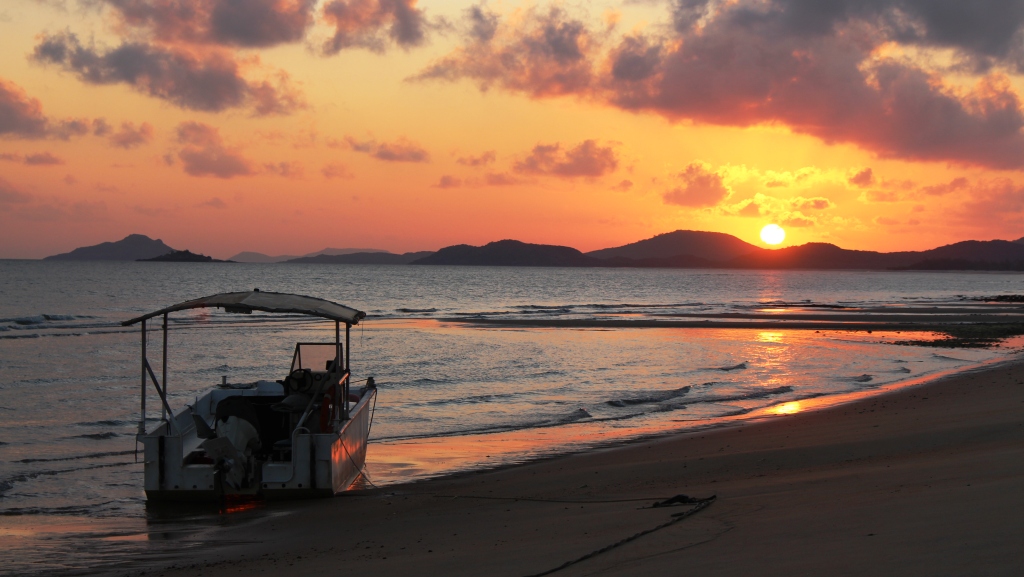
The sun rising over Cape York
Punsand Bay is the most northerly caravan park in Australia. It is located on a stretch of north facing beach, within site of the tip of Cape York. Were it possible to drive along the Beach, but such a journey is prohibited by law, it would be a very short drive indeed.
The resort, of which the camping
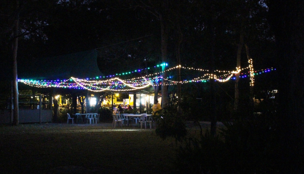
Night view of Punsand Bay restaurant
park is part, is quite old, but under current management is in good condition. The camp sites are spread out along the beach with the front row of sites only a couple of paces from the sand. These are all unpowered sites, occupied by tents, both ground and roof top and camper trailers. We were in the second row in a powered site. We don’t surrender the luxuries of the microwave, electric jug and toaster, or the air-conditioning easily!
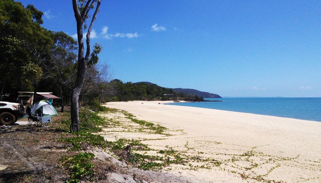
Punsand Beach looking west with camp sites to the left of the photo.

A Punsand Bay pizza
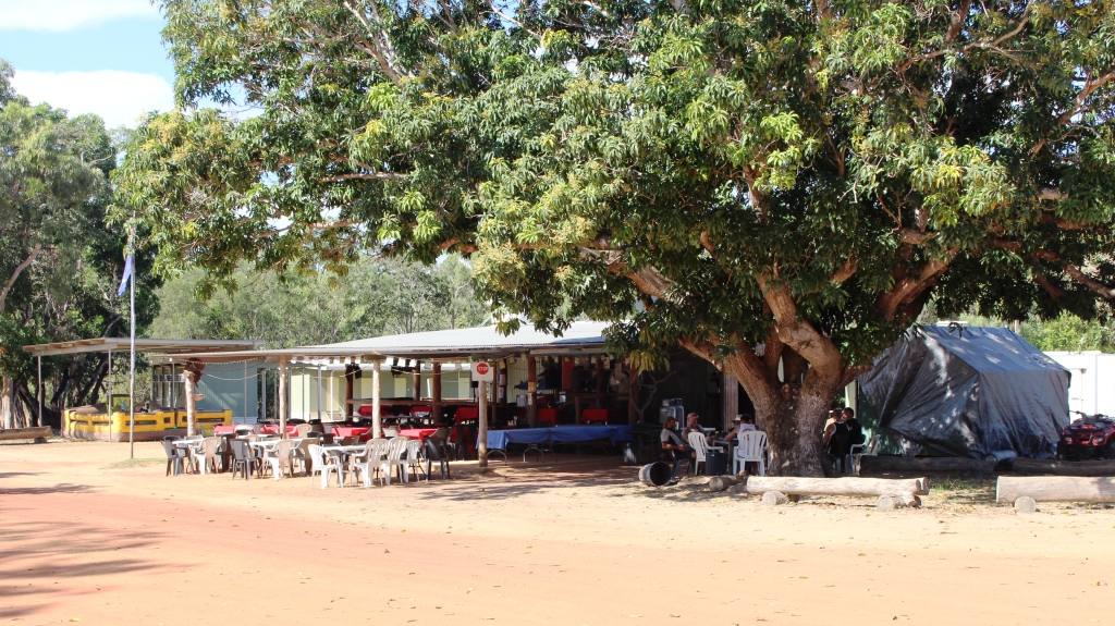
The resort is comprised of a range of cabins, huts, permanent tents and units and a restaurant, which doubles as a coffee shop. Dining prices are on the high side, but that is to be expected this far from civilisation. But the impact of high prices has been addressed by the installation of a wood fired pizza oven. We had adequate food supplies in the van but were drawn to the restaurant on two of our four nights there, by the attraction of pizza.
We spent the first day at Punsand Bayquietly. Some down time was required after the previous day’s distance of 260 km, with the last part as rough as it was. But on day two, after a leisurely morning, we set off for the Tip.
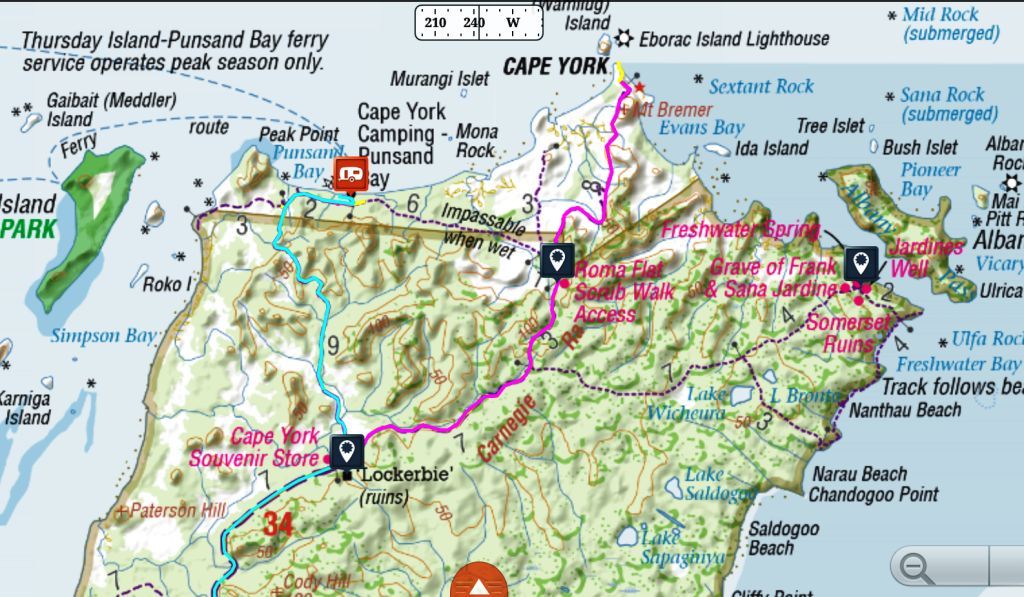
Map of the far north of Cape York

The Crock Tent has a large stock of souvenirs
The map shows our route for the day. We started out at the caravan symbol. The blue line shows our track to the Croc Tent on the Bamaga to Cape York Road. The Purple line then shows the track to the cape. If you expand the picture to full screen you will see a yellow line that runs right to the most northerly point on the Cape. The tracking system that we use for navigation is on my Nexus 7 pad. I took the pad with me to get a photo for the daily blog, but did not turn the tracker off. So it tracked my progress to the waters edge.
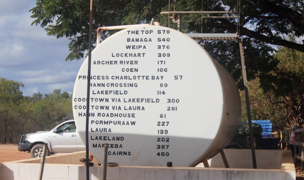
A short cut was available, but notes handed out at registration at Punsand Bay warned against using it, so we did two sides of a triangle by returning to the main road and turning left and north. At this junction is an establishment known as the Croc Tent. It is not really a tent but has a temporary look about it. The Croc tent is a large souvenir shop. It is in a very isolated location and almost totally dependent on those who take the drive to the tip of Cape York for its clientele.
The road from this junction was narrower, more winding and therefore in better condition. Speed plays a major role in damaging unsealed roads and here is an example.
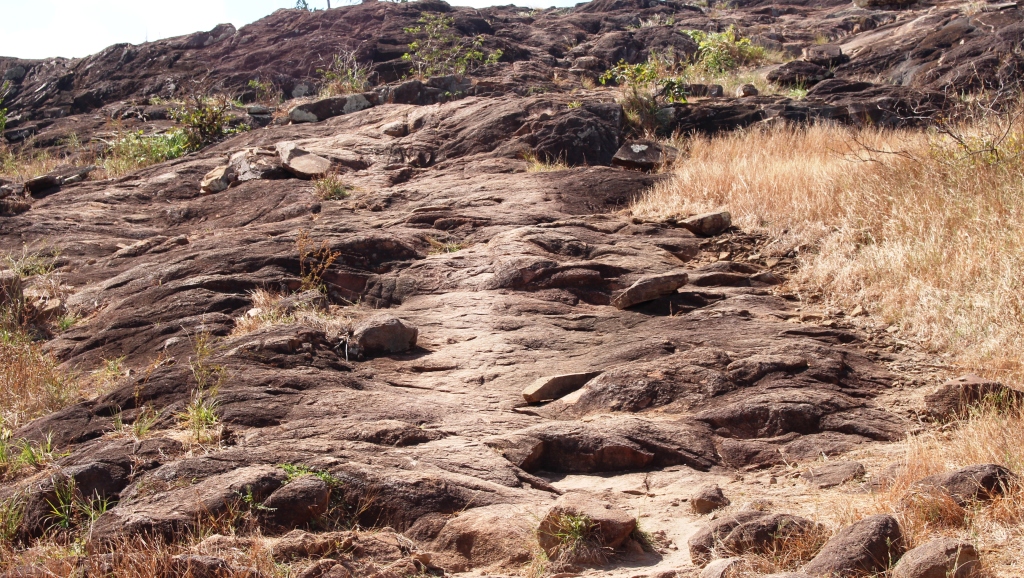
The start of the climb up Cape York headland
After a few more km of winding track, a few creek crossings and depressions and two attractive sections of rain forest, we arrived at the car park. We did not have the road to ourselves, having allowed several less patient vehicles to pass and having met several more who were returning. The car park was almost full but we found a space between a large rock and a large Toyota with its owners entire possessions stacked on top. Well, that’s how it looked.
Ruth reached this point
There are two walking tracks to the tip of the Cape. The easier of the two is to walk down to the beach to the wast of the headland and then on the sand until you reach a path around the rocks, just above sea level, to the point. It is an easy walk but was not available to us because the tide was too high.

That sought after sign
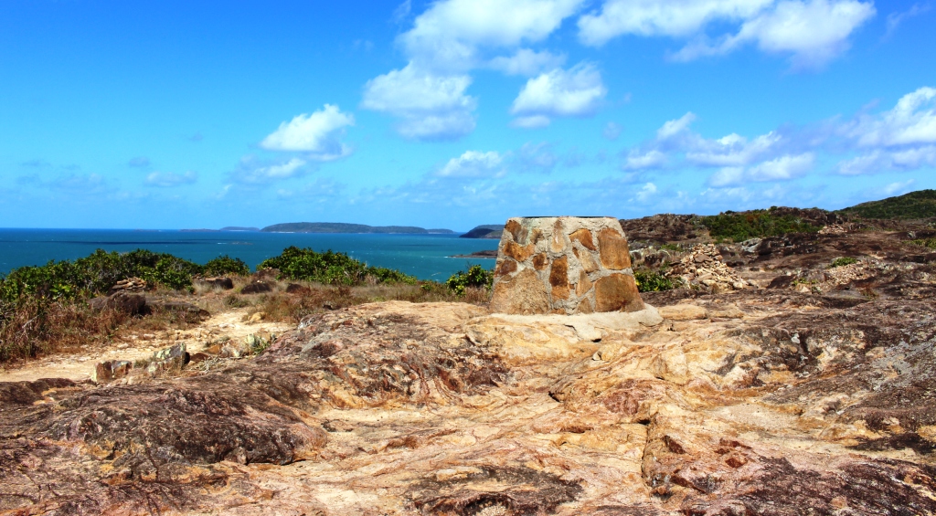
The alternative to paddling through crocodile infested seas is to climb over the headland. Ruth wanted to give it her best shot so we set off up the rocky path. The climb is quite steep in places and the South Easterly Trade winds were blowing a half gale so it was one hand for yourself and the other hand for your hat. We made it to the top to where there is a plaque on a plinth that shows directions and distances to points of interest and from where the views sweep over most of Torres Strait. Ruth decided that she had gone far enough.
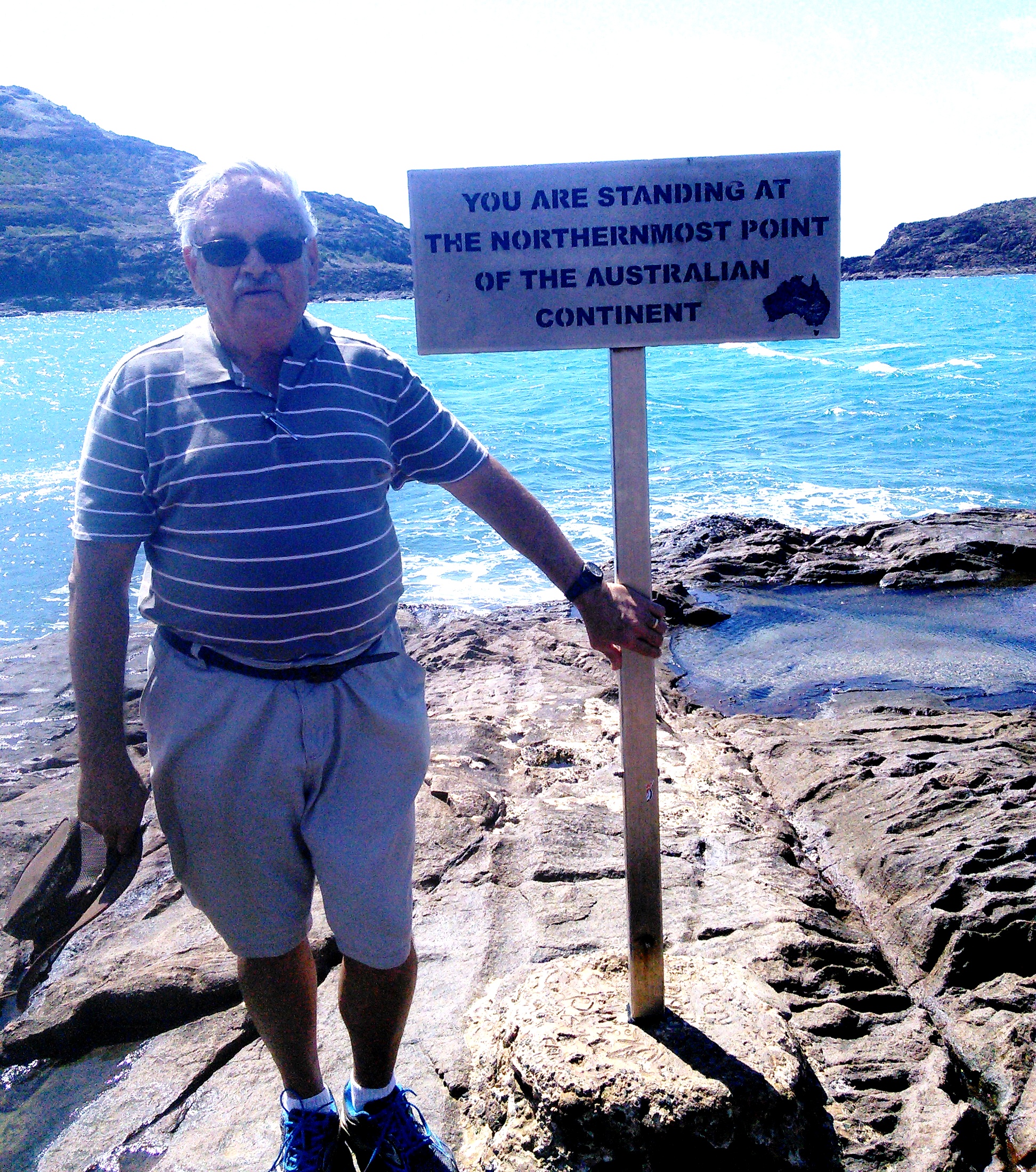
A windblown yours truly at the Tip
I went on, wondering if there would be someone there to take a photo of me standing beside that famous sign. As I reached the final crest and looked down on the tip of the Cape I experienced a real sense of satisfaction. Not the sense of awe that I felt when I first gazed upon Uluru (Ayers Rock) but still a sense of achievement.
We had intended to detour to Somerset on the way home. The road to Somerset turns to the east on the way back to the junction at the Croc Tent but we were feeling a bit knocked out after our climb so we went straight back to camp.
Somerset was the administration centre for the Cape York area in the late nineteenth century until those activities were transferred to Thursday Island in the early twentieth century. Much history was made there and there are still relics to be seen. Pity to miss it, but there you go! You can see where it is from the map above.