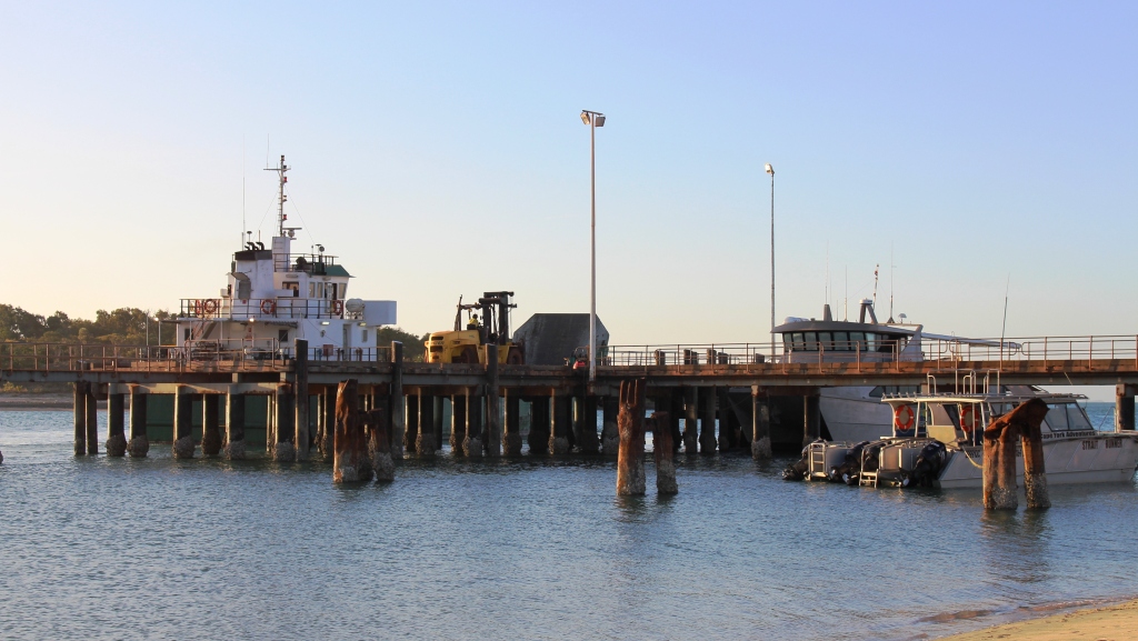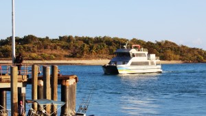
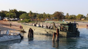
The TI ferry approaching Seisia wharf
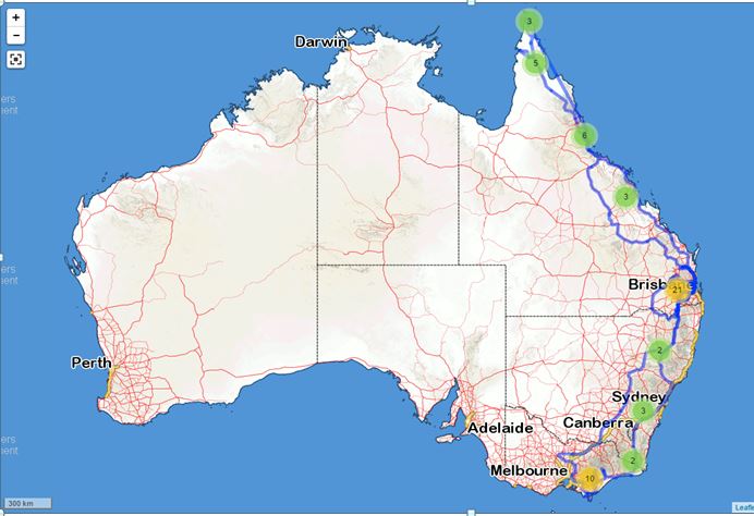
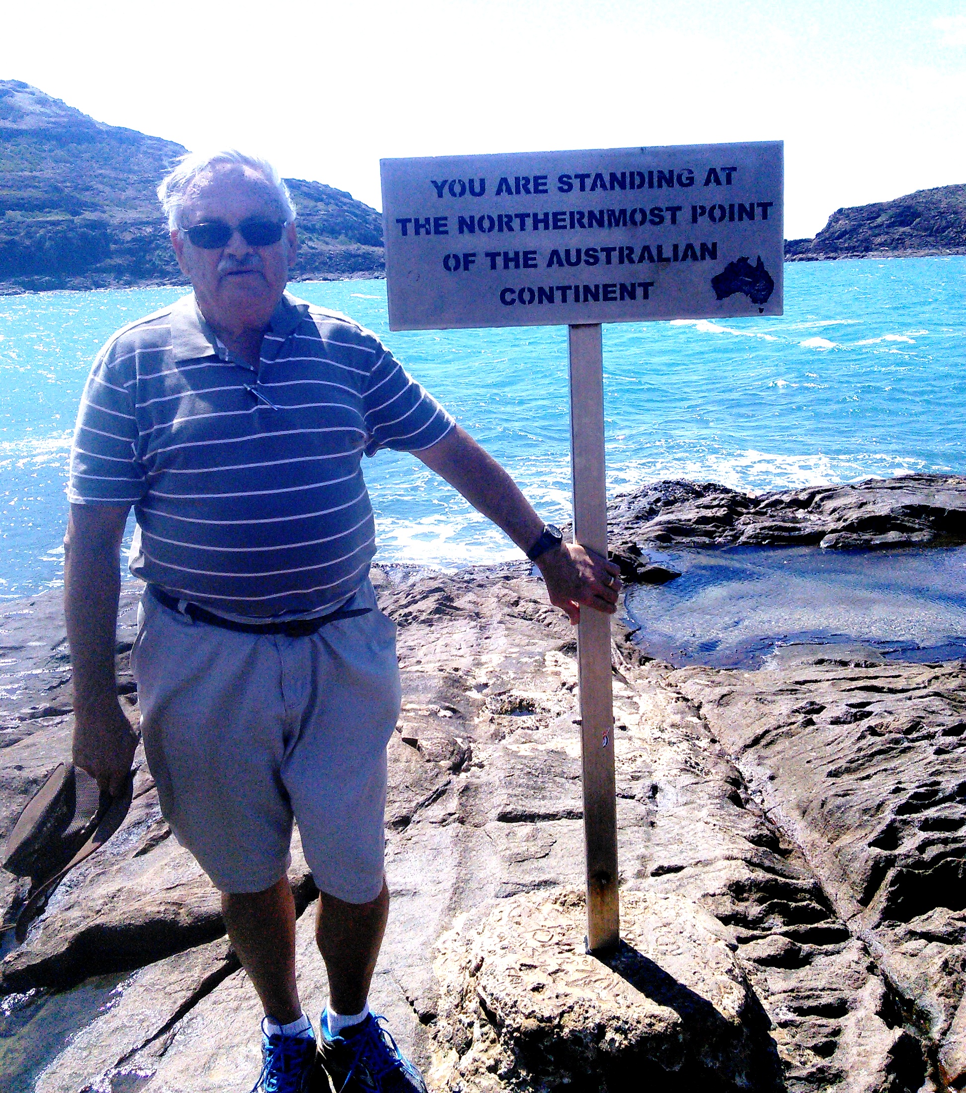
Travelers to the Cape York region normally have among their objectives to stand at the tip of the Cape, the most northern point on the mainland and to visit Thursday Island. We were no different. Having reached the Tip the next agenda item was Thursday Island or TI as it is known to locals. We visited TI twice.
[youtube]https://youtu.be/UfrpftbGjmM[/youtube]
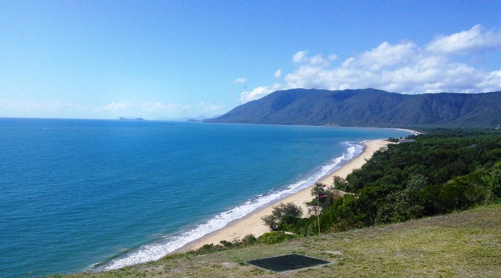
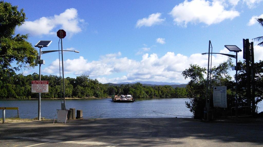
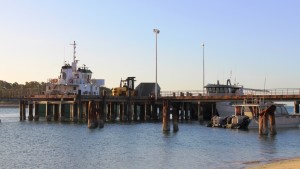
On the day following the experience of standing on the northern most point, we drove over that mostly atrocious road back to Bamaga and then the additional 5 km to the TI ferry terminal at Seisia wharf. And that meant negotiating it again on the way back to Punsand Bay. The extra distance to Seisia is sealed, as are all the roads linking Indigenous communities at the Cape.
Looking towards the town of TI from the ferry terminal
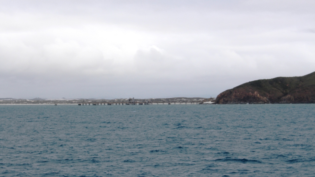
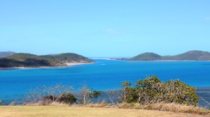
The ferry crossing takes a bit over an hour. For the first part of the journey the ferry is travelling in protected waters but then crosses Endeavor Straight where there is less protection, so it can be a but rough. The route then passes Possession Island, so named by Lt. James Cook in 1770 as it was on this island, after passing through Torrens Straight, that he planted the Union Jack in the soil of the island and claimed the entire East coast of New Holland for King George III. He named the claimed area New Wales.
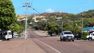
Part of the main street of Thursday Island
The ferry route then passes to the east of Prince of Wales Island, the second largest island in Queensland, after Fraser Island, and finally through the channel between Prince of Wales Island and Horne Island into the protected harbor formed by those two islands and Thursday Island.
Thursday Island was named by Captain William Bligh as he made his way back to civilisation from the mutiny to which he was subjected and for which he is famous. Tuesday, Wednesday, Thursday and Friday Islands were named for the day on which he passed them in a search for water. There are no Saturday, Sunday and Monday Islands, so it is left to speculation that Bligh found water and then took a long weekend.
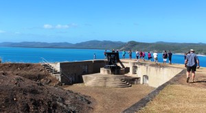
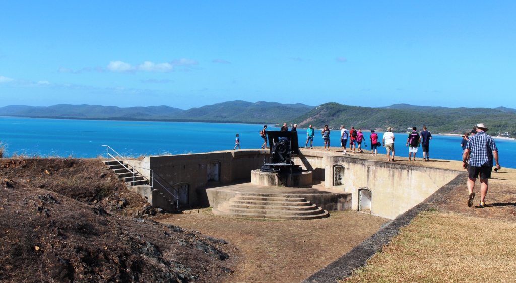
A gun at Green Hill Fort
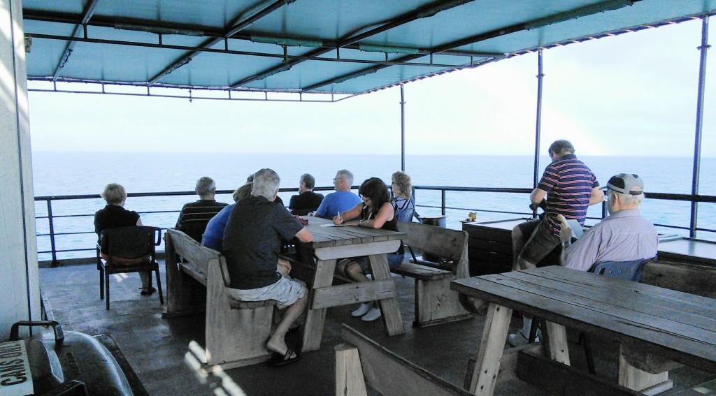
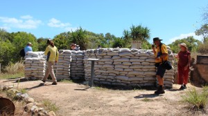
On our first visit, the bus for the TI tour was waiting for us, so we were straight into the program. The first and most interesting feature was Green Hill Fort. Built on a hill on the southern end of the island, it was one of many naval gun installations built around Australia in the 1890s when Australian officialdom thought that the Russians were coming.
One of the passages guarded by the fort
The guns, although no longer usable, remain in place, each one pointing directly at a gap between the islands through which a threat could have come. Some of the passage ways tunneled under the gun emplacements have been converted into a museum, with displays that tell the story of the settlement and the island people whose interests TI administers. The impact of WWII and the involvement of about 800 Islander volunteers is a major feature of the displays.

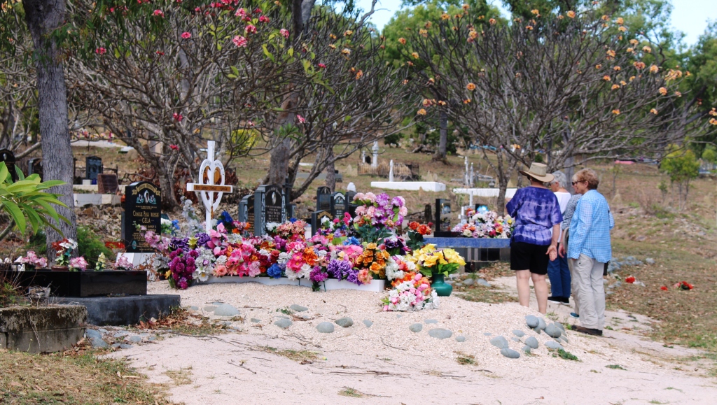
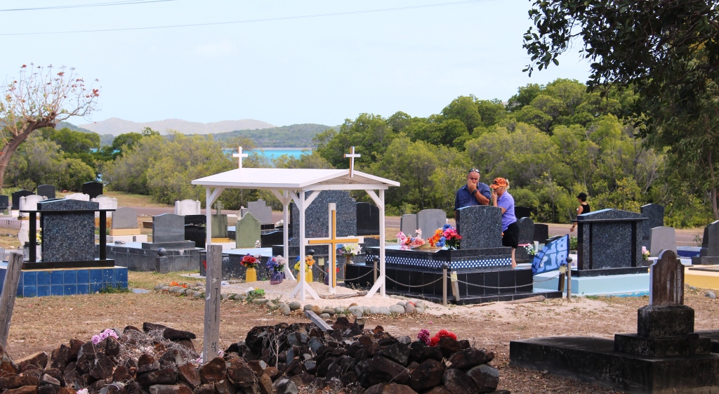
A profusion of flowers at the cemetery
Our next port of call was the cemetery. Traditionally, death is celebrated to a greater extent than that to which most of us are accustomed. Headstones are very ornate with a great deal of detailed information inscribed on them and flowers, both natural and artificial are used in great quantities and to great effect .
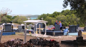
Thursday Island cemetery
As I understand common practice, there is a graveside ceremony upon internment. Then there is a waiting period while the headstone is obtained. Most are shipped in from the south, mainly from Brisbane. On arrival, there is another ceremony for the erecting of the headstone, which remains covered until an unveiling and dedication is held at a later time.

Looking over the town to Horn Island
In addition periodic ceremonies are conducted at the cemetery by various ethnic groups, so you can see that the cemetery is a centre of cultural activity. On the day that we were there, bunting had been hung by Japanese folk, probably in association with the graves of Japanese pearl divers buried there.
The tour then covered the other

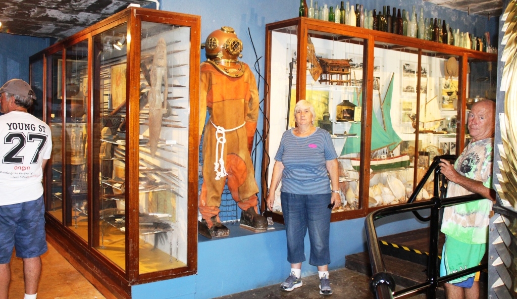
Ruth checking the size of a diving suit in the Green Hill Fort museum
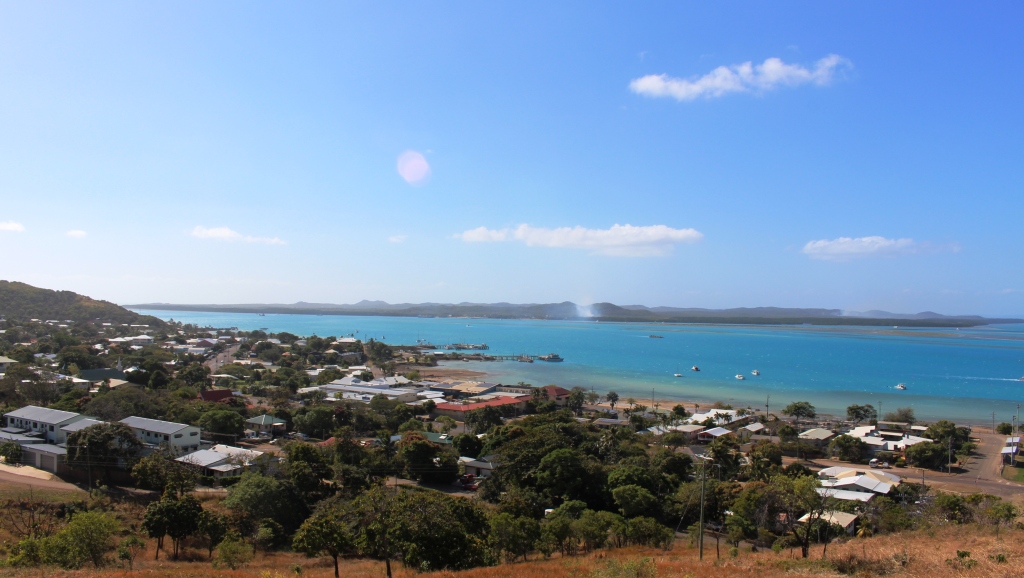
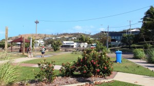
main features of the four mile square island. A multicultural community of about 3,500 resides in this confined space. This would be rather uncomfortable living if it were not for neighboring Horn Island which is much larger, relatively flat and provides the airport, water supply and services such as garbage disposal. The port at which supplies arrive from the south is
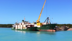
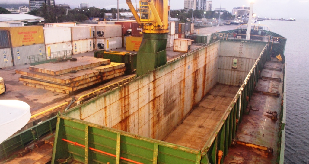
Trinity Bay unloading containers at Horn Island
also on Horn Island.
With our tour of TI at an end, we were transferred by local ferry to Horn Island.

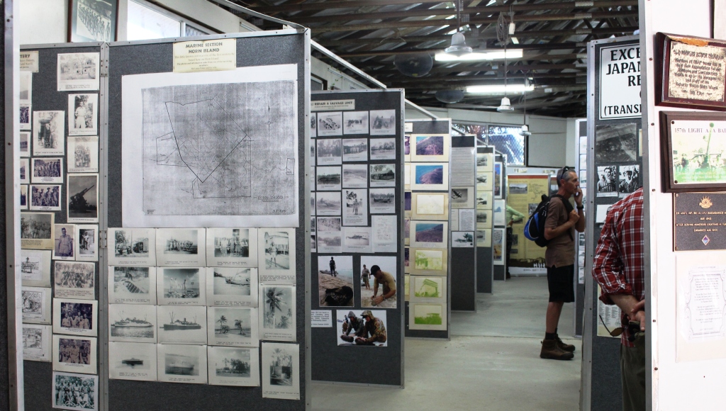
Part of the display in the Horn Island Museum
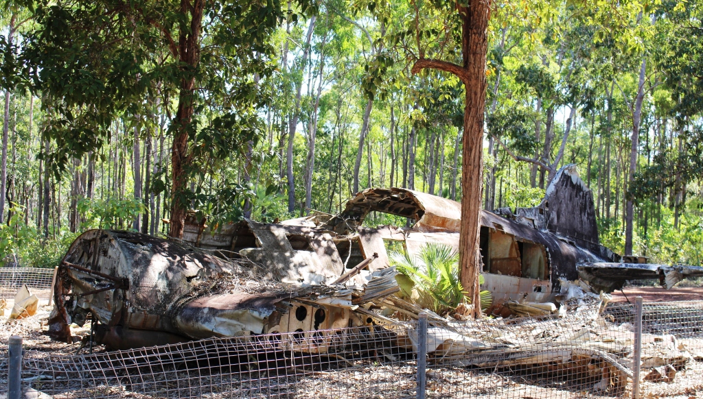
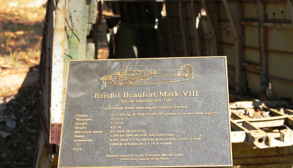
An enterprising young lady named Vanessa came to TI a few years ago as a school teacher. Not necessarily in this order, she married a local and developed an interest in war relics on neighboring Horne Island. There was much military activity on Horne Island during WWII including a forward defense airfield which hosted both Australian and United States air, sea and ground operations. After Darwin, Horn Island was the most attack place in Australia. TI was not attacked at all because over 100 Japanese pearl divers are buried there.
The restored WWII anti aircraft command post on Horn Island
Vanessa and her husband have established a fine museum that tells in great detail the story of the war and the part that Torres Straight Islands played in it. There are also substantial amounts of material on local history and custom.
One section displays the pages of Brisbane’s Courier Mail that contain reports of events in the closing days of the Pacific War. We just happened to be there on the 70th anniversary of VP (Victory in the Pacific) Day. It was quite fascinating to read the reports, 70 years after they were written, on the actual 70th anniversary.
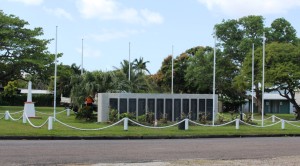
The Thursday Island War Memorial
The tour of the island included time in the museum followed by a tour of military installation sites and aircraft crash sites. Work is under way to preserve some of the better sites. The effort to preserve these relics for future generations is being driven by the enthusiasm of Vanessa and her husband.
Our second visit was a self guided tour. With time on our hands as we waited to board Trinity Bay a return trip to TI had much to recommend it. The senior’s concession fare made a second visit to TI a better financial proposition than an overnight stay, which is what a lot of people do to allow themselves adequate time on Thursday Island.
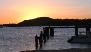
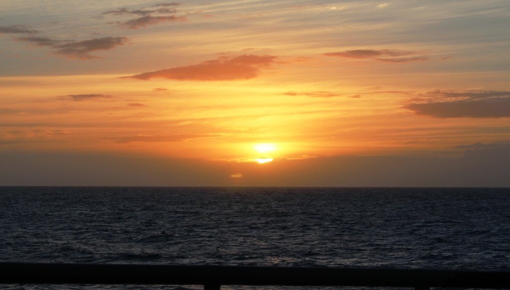
Sunset over Red Island that shelters Seisia harbor
Our first objective was a cappuccino and as we had good reports of The Bakery, which is on the road to the town centre, that was where we headed, only to be met by a sign that said “Sorry. No coffee”. What? A coffee shop without coffee? Almost like a pub with no beer! But a short walk into the main street brought us to Uncle Frank’s Coffee Shop where we not only had our cappuccino but were introduced to deep fried banana cake. I hope I can find a coffee shop in Brisbane that sells it. I will become one of their most regular customers.

Barge activity in Thursday Island harbour
We spent the rest of the time available to us, until the 2.30 departure of the ferry, walking around town, shopping for a bag to take our gear onto the boat and buying souvenirs. The shops are mostly tourist orientated but some bargains were to be had. We lunched at Bobby’s Fish & Chips. We had fish & chips, of course. Bobby’s Fish & Chip shop is locally very well known.
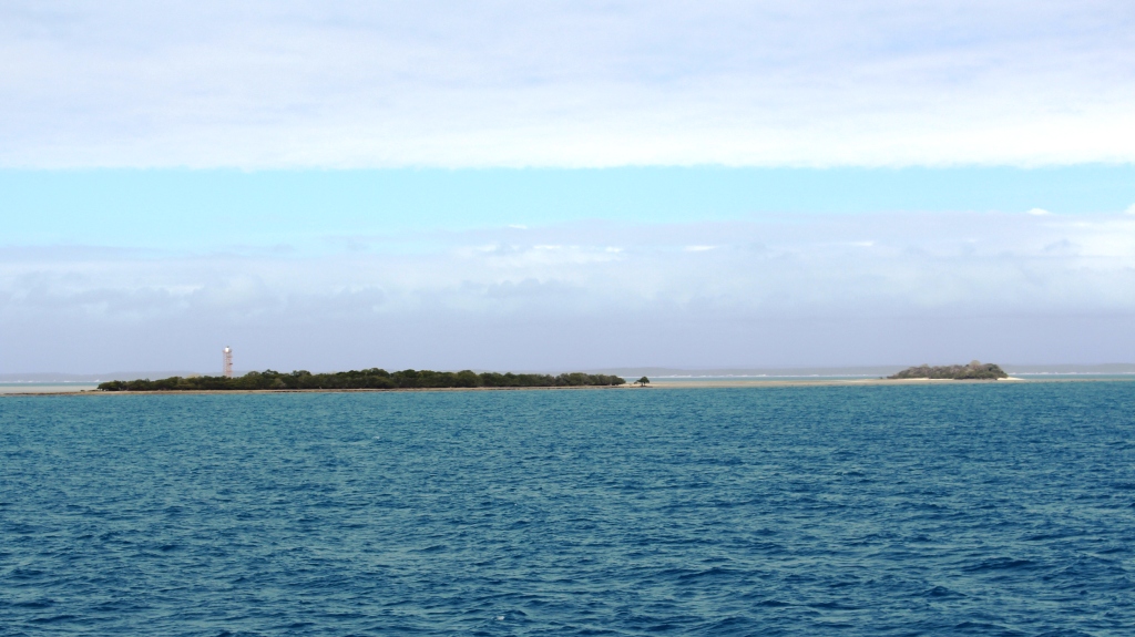
Back early to catch the ferry, we sat in a shelter, looking along the channel between Horn and Prince of Wales Islands, at the distant outline of the Northern Tip of Australia, about 30 kilometres away to the south east. The ferry crossing back to Seisia was a repeat of the trip four days earlier. Our four crossings were smooth with very little movement in the ferry.
The army providing logistical support for a Prime Ministerial visit
Torres Strait is named after Louis Vaz de Torres, who sailed, as second officer through the passage in 1606. The strait was named after him by Scottish geographer Alexander Dalrymple who discovered the existence of the strait from papers captured in the Philippines in 1762. His publishing of the material caused great interest and was part of the reason for the voyage of the Endeavor. Dalrymple was an aspirant for leadership of the expedition but was apparently passed over in favor of James Cook.
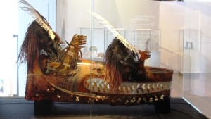
Island ceremonial masks on display in the new cultural centre
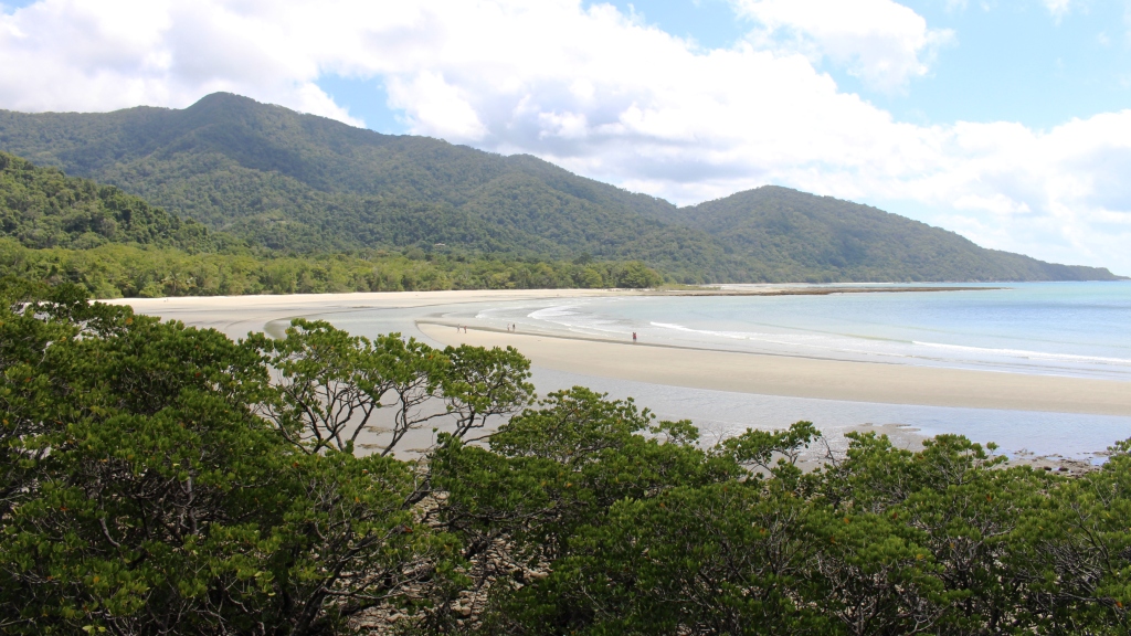
In their turn Bligh and Flinders sailed and explored the area, each naming various islands. There are said to be 274 islands, made up of three different types. Those immediately north of Cape York are part of the Great Dividing Range. Others are volcanic in origin while the remainder are coral cays. Seventeen have permanent populations. A couple of the minor islands have resorts.
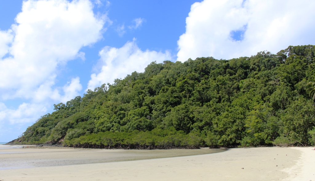
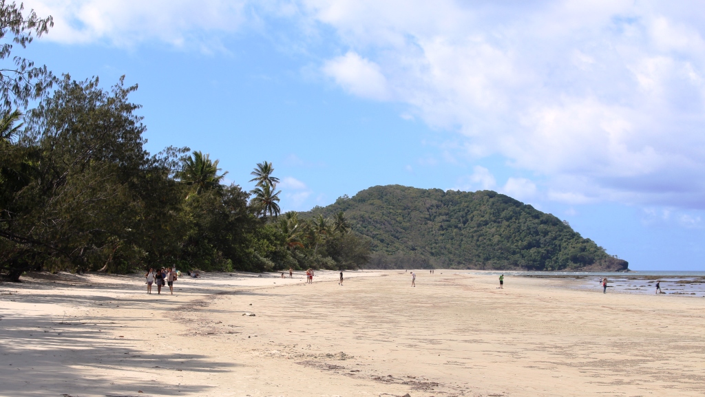
We found the entire area to be most interesting. It has a rich history and a scenic beauty. Any group of tropical islands surrounded by reefs under clear blue seas will always be easy on the eye.
During the 1860s a pearling industry commenced that quickly shifted its focus to the shells of mother of pearl that was used to make buttons. The industry collapsed around 1970 when clothing manufacturers shifted to plastic buttons. It was the mother of pearl recovery from the sea bed that brought divers from many countries of the world to TI, particularly Japanese divers.
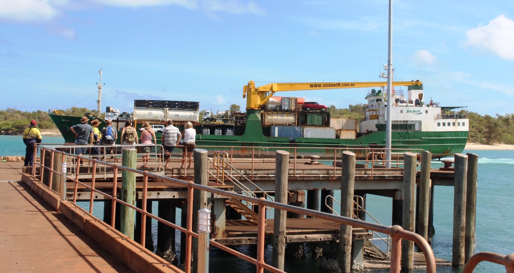
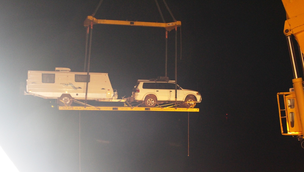
A SeaSwift barge at Seisia wharf
The outlying Torres Strait Islands are supplied by two barges owned by the operators of Trinity Bay. The barges ship containers and other freight that has been brought to Horn Island by Trinity Bay on to the other island communities. One of the barges has accommodation for passengers who can join the “milk run” around the islands. Each voyage takes about 5 days with the route determined by the locations to which freight is to be delivered. A real misery tour!