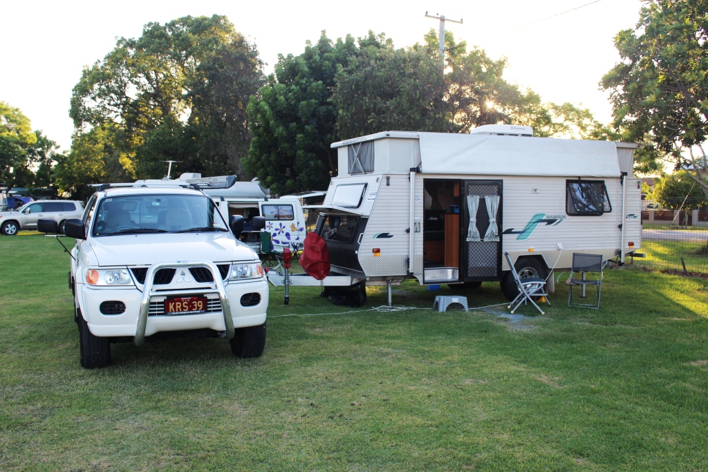
On this part of the trip we were no longer in north Queensland. Windorah is only a little north of due west from Brisbane but it is 1,200 kilometres by road. It was further that that for us as we diverted further to the south due to a change of plan.
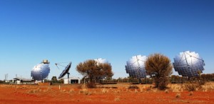
Windorah solar power station
We left Windorah fairly early on a fine sunny day, accompanied by a
pleasant following breeze. Our first stop was on the edge of town to look at Windorah’s much photographed solar power station. These giant panels individually follow the sun, so the one facing the wrong way may have been turned off.
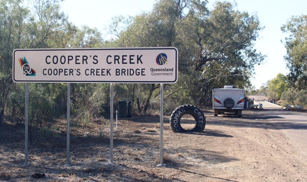
The next point of interest was the bridge on Cooper Creek, which is about 10 kilometres out of town, a bit further towards Quilpie than the road on which we had come in from Longreach. So once again we were on a road that was new to us

The Legendry Cooper Creek near Windorah
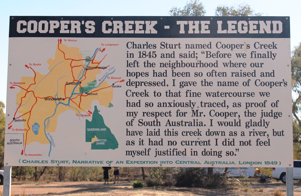
There is debate about the spelling of this legendary creek. Officialdom spells it with an apostrophe “s” but outback purists favour “Cooper Creek” or just “the Cooper”. Not far away from here the Thomson River is joined by the Barcoo River and jointly they become Cooper Creek. Hence the claim that Australia is the only country in the world where rivers flow into creeks.
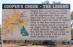
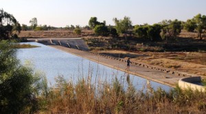
The legend of the naming of the Cooper
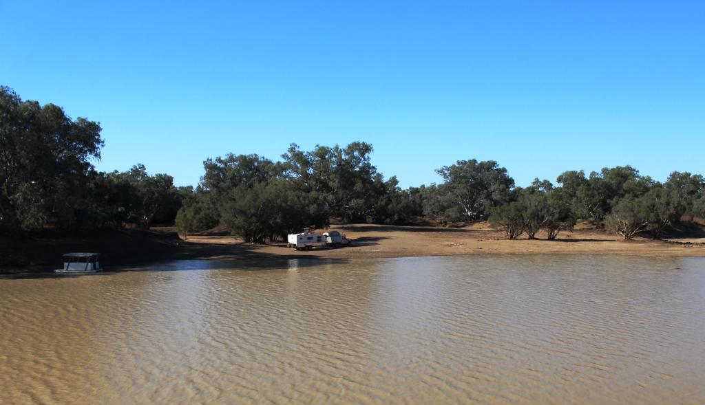
The story about how Cooper Creek became designated a creek rather than a river is told on this sign beside the campers amenities block. The reason goes right back to explorer Charles Sturt in 1845. The banks of Cooper Creek are a well known free camping area. There is plenty of shade and normally good supplies of water with fish and yabbies to be caught. The amenities block was in good condition and clean. This is another Barcoo Shire facility. As we came past there were few campers. Those that were Birdsville bound would have been long gone.
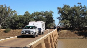
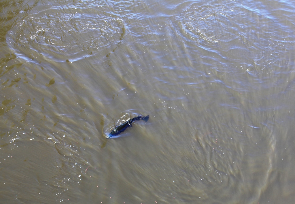
The Cooper Bridge. Some vans were heading east
Some travellers heading in our direction pulled out of the camping area and crossed the bridge as I stopped to take some photos. Note the single lane bridge. It is a solid structure and needs to be. Come flood time and it is well under water.
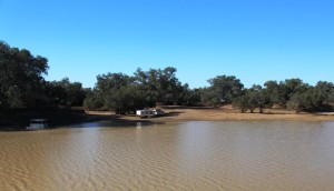
A well positioned Cooper caravaner
The picture opposite shows the amenity that is available to those who arrive early. No doubt these folk planned for a stay of a few days. They have chosen a great spot to spend their time.

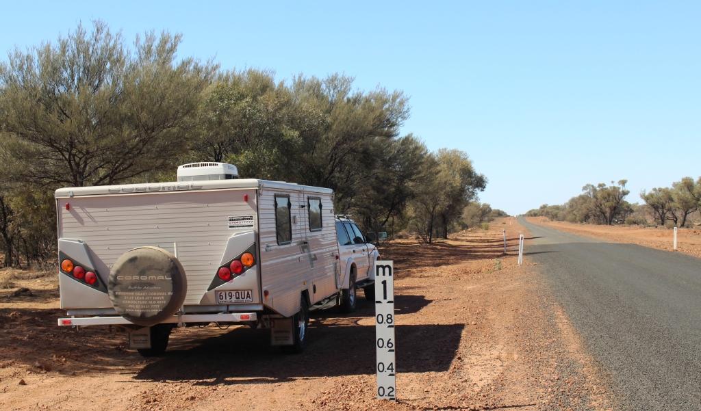
Morning tea in a dry floodway
The drive from Windorah to Quilpie is over 246 kilometres of mostly river plains. There are no more large streams, but there are lots of floodways. We parked in one for morning tea. Cooper Creek flows to Lake Eyre. The Bulloo River at Quilpie does not, but empties out into swamps in north west NSW. The high ground between them is sufficient to create two distinct catchments but was not notiecable as we drove through.

A mini sand dune near Quilpie
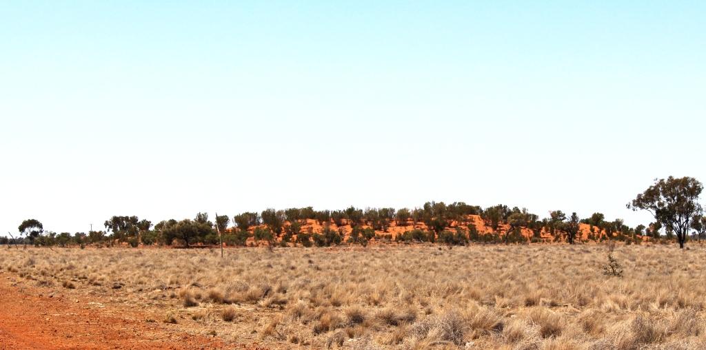
We were traversing grazing country, of course. We saw both cattle and sheep on this drive. Although we were heading into more densely populated areas we were reminded that deserts were not far away by the appearance by the road or in the distance of isolated sand dunes like this one.
We arrived in Quilpie for lunch and immediately turned the air conditioning on. The temperature was above 35 C with a warm breeze. It was the hottest day that we had experienced.
We waited for the sun to rise sufficiently to be out of our eyes when we left next morning. The road out of Quilpie heads almost due east. We continued to meet a string of Birdsville bound vehicles.
Our destination was Mitchell for an overnight stop at the Neil Turner Weir free camping area so our path took us through Charleville and Morven. We were through this area earlier in the year and covered it in our blog then.
We took our lunch break in the dining room of the Morven Road House. There we struck up a conversation with a couple, also from Brisbane, who were diverting through St. George to get home rather than face the almost continuous road works on the Warrego Highway. The Mitchell to St George Road had been in our plans for earlier in the year but the need to return to the Telstra shop in Roma forced us to take a different route. So here was our chance to fill in that gap in our journey over Australian roads.
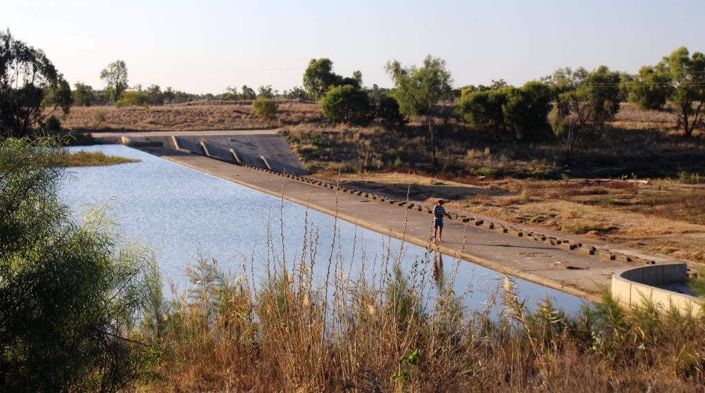
Fishing person at Neil Turner Weir
We spent a pleasant and comfortable night by the weir. The area was quite crowded but most vans had lights out early. Most of them seemed to be Birdsville bound. Many had already departed by the time we emerged from the van next morning.
The Mitchell to St George Road starts as a single lane strip of asphalt with broken edges, winding over a series of low hills, but soon straightens out and widens to become a quite reasonable road. There was very little traffic sharing it so we made good time over its 209 kilometre length, arriving in St George for some quick shopping just before lunch time.
When free camping areas in southern Queensland are under discussion it is almost certain that someone will mention the Nindigully Pub on the Mooney River, south east of St George. The couple back at Morven had referred to it as a great place to stop overnight. We decided to make it a lunch stop.
Nindigully Pub – well over 100 years old
The pub has been in continuous operation since 1864, so I suppose it has quenched a few thirsts and dispensed a few headaches in almost 150 years of operation. Its other claim to fame is its culinary special. It serves the road train burger. I believe assistance is required to eat this burger. It is much too large for one person.
We drove past the building but we did not go in. We parked in the shade to partake of our modest lunch. A sandwich, probably! I wasn’t over impressed with the place as a camping area. It was very dusty and would be a quagmire after rain. The river was like the Yarra and was flowing upside down. (Sorry Victorian readers). But perhaps the charms of the pub eclipse these disadvantages for many thirsty travellers.
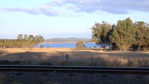
Only a fence between us and the tracks
That day’s journey ended just past the town of Inglewood in southern Queensland at a small caravan park overlooking the waters of the Coolmunda Dam. There were two memorable events that night. Our site in the park was near a railway line. It didn’t look busy but that didn’t stop a very long grain train from passing in the wee small hours. There was no mistaking what it was. It seemed to take half the night to pass.
The other memorable event was temperature related. After 35 C two days before the morning temperature at Coolmunda was just 8 C. Yes, we did turn on the heater.
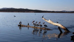
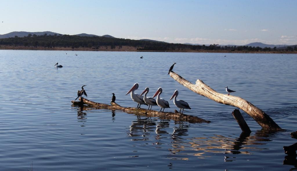
And pelicans all in a row!
Before commencing the final leg of our journey we drove to the dam. This is a popular fishing lake. The caravan park gets most of its business from fishing orientated tourists. It is a pleasant spot with another free camping area on its banks. I can imagine it being crowded during summer holidays. An attractive aspect of this lake was the number and variety of water birds. There would have been more there that we had seen in total up to that point in our trip.
We returned to the Cunningham Highway for a time but left it at Karara and travelled through the fertile Condamine Valley and the towns of Leyburn and Clifton. From Clifton we followed the picturesque Clifton to Gatton Road which returned us to the coastal area through the lush vegetable farms of the Lockyer Valley. After a quick burger at Plainland the next stop was home to those delightful chores of unloading, cleaning and washing.
So there ends another trip! Where to next, you may ask? No decisions yet and there will be nothing significant until 2014 but Cape York has been mentioned. We will need to see what the wet season does before such plans can be finalised.
But of one thing you may be sure. When the time comes near we will certainly let you know.

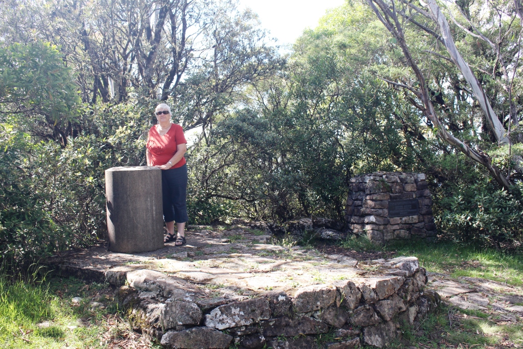


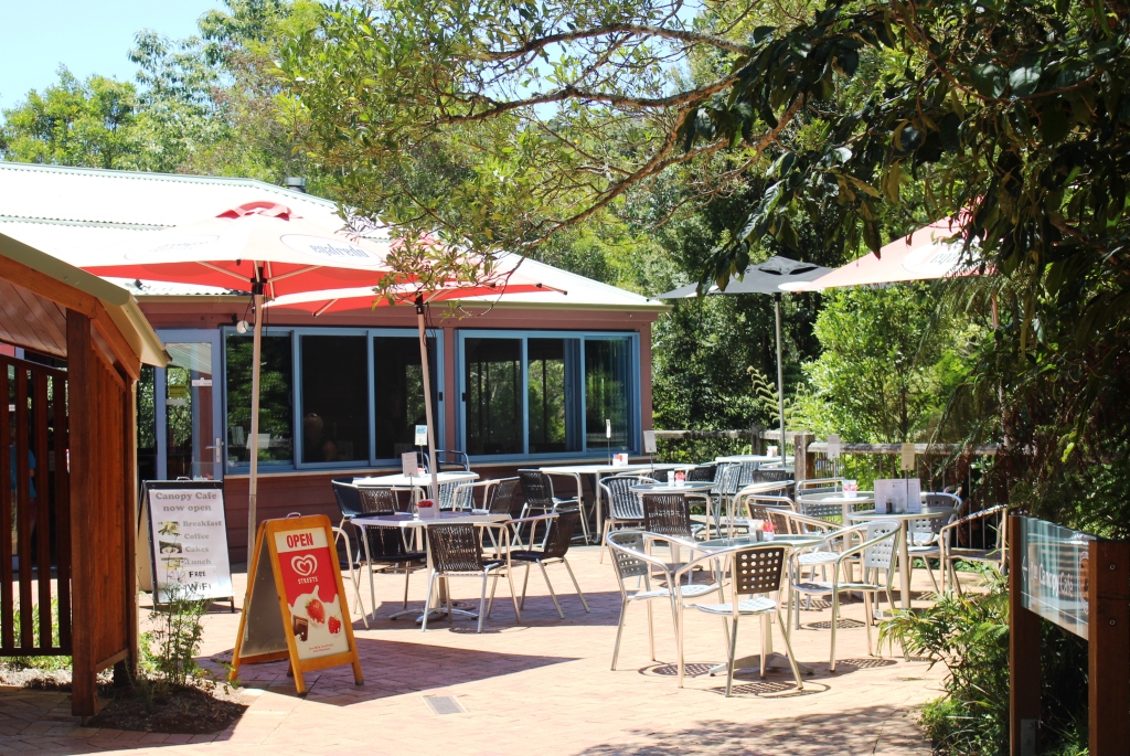
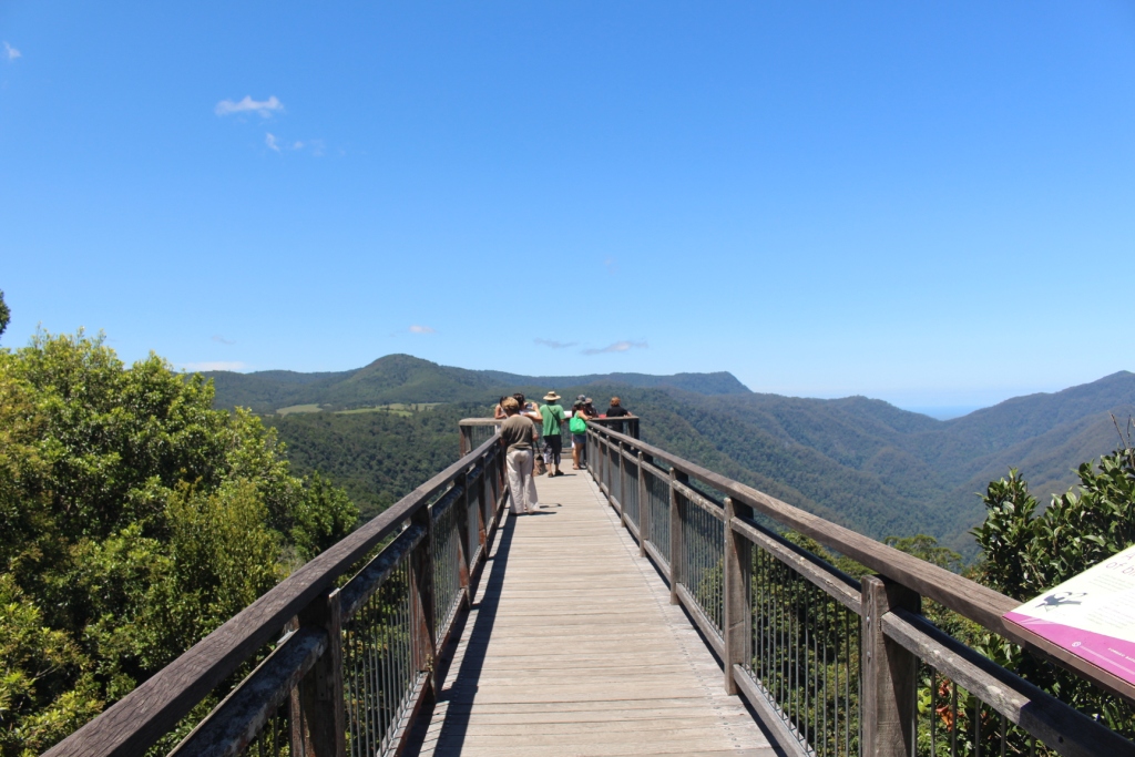
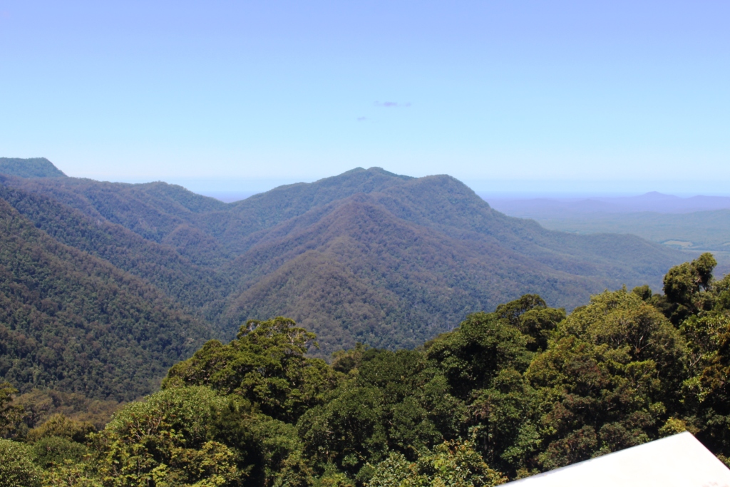
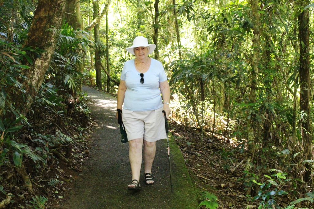
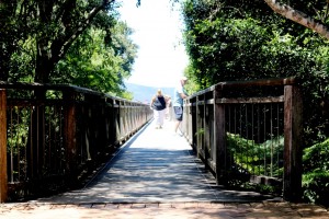 The National Park is the key attraction at Dorrigo but as it was lunch time when we arrived we decided to try The Canopy Cafe. An excellent meal! Ruth’s club sandwich was big enough to feed more than one club member and my chicken, mushroom and sundried tomato pasta was to die for. And the chips? Made from Dorrigo potatoes, of course.