I have been a bit slack. This material is almost a month old. It has taken me this long to get motivated to produce this blog post.
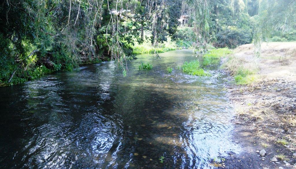
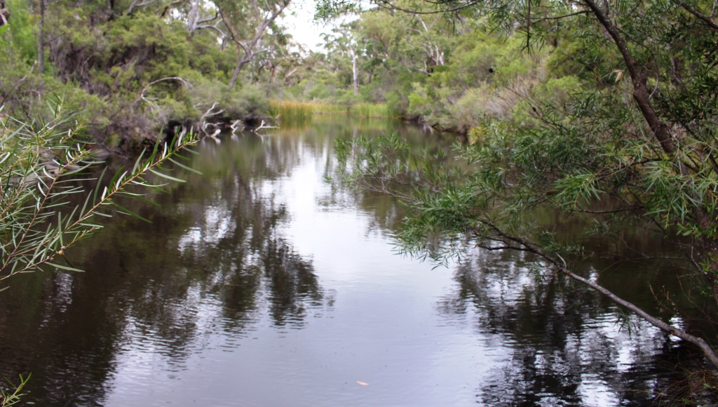
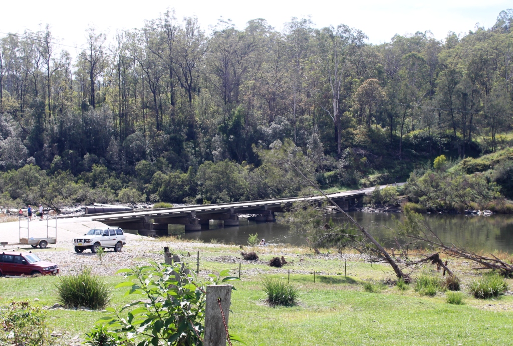
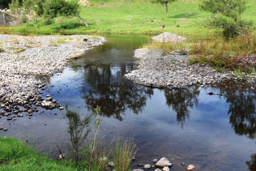
Canungra Creek runs along the back of the camping area
Our travel plans for 2016 include a reasonably substantial trip, which we will do, subject to a couple of contingencies. We normally try to do a short run with the van to check that everything is working before setting out on the main event. We have already found an issue with our Waeco portable fridge. It won’t work properly on 12 volts. This means that it is not cooling while we travel. We need to have that fixed before we leave on the next trip.
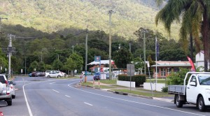
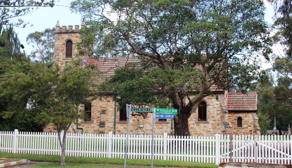
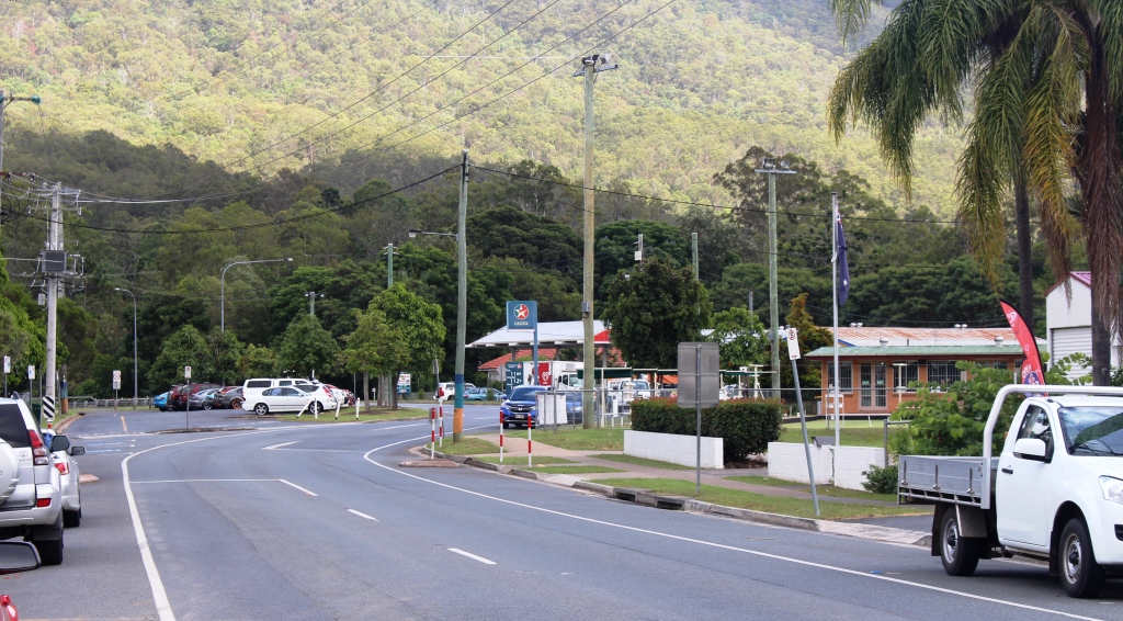
Part of Canungra’s main street
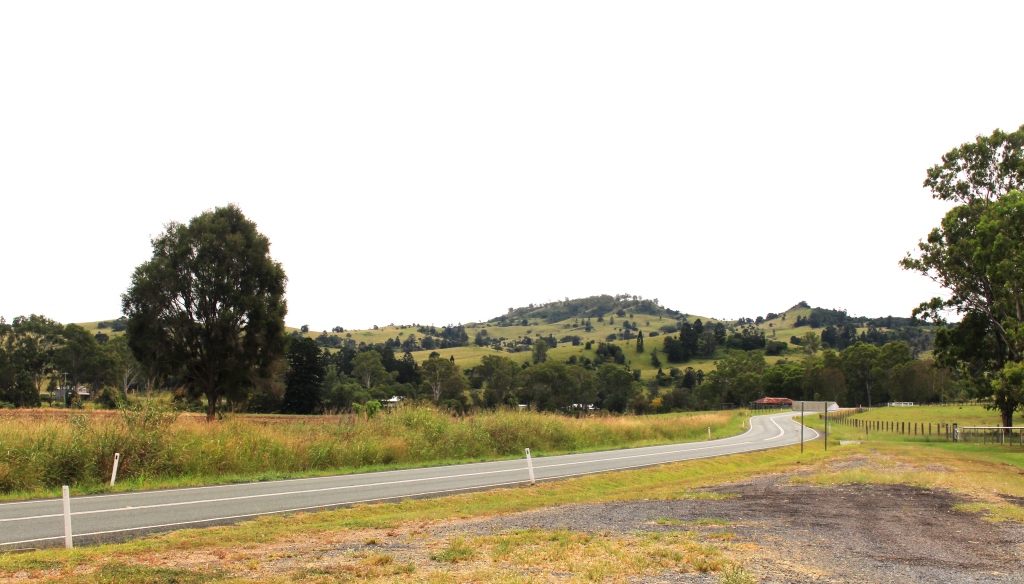
We have just completed a long hot and humid February and not much has changed with forecasts for the early part of March. But a bit of elevation normally means cooler nights, even if the days are just as warm. So our first camp site is at Canungra, to test the theory.
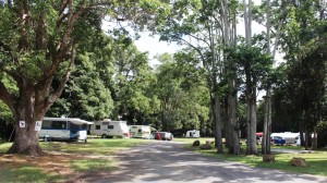
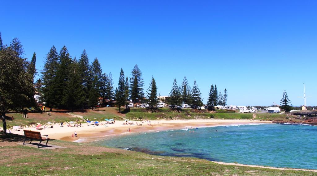
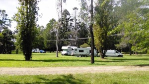
In a grassy corner of Canungra Showgrounds
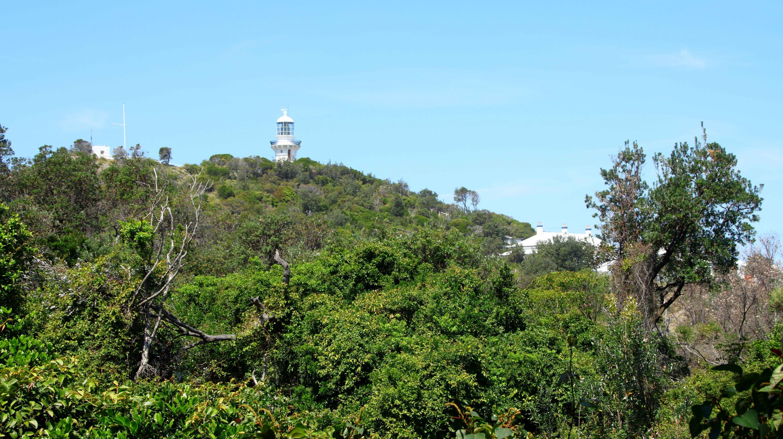
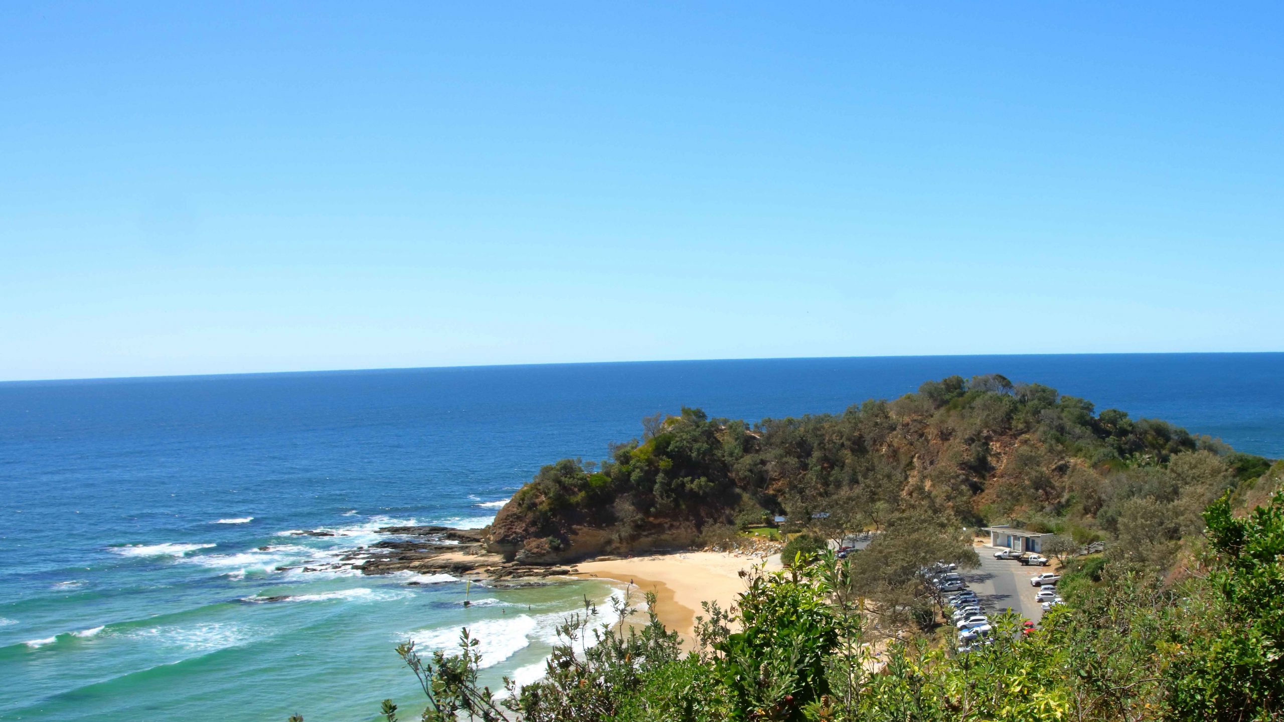
Canungra is not really in the hills but it is close. We have the heights of Mount Tamborine to the north east and a little further away, to the south, is that part of Lamington National Park that hosts the well known O’Reilly’s Rain Forest Retreat. They are both on our list of places to visit while we are here.
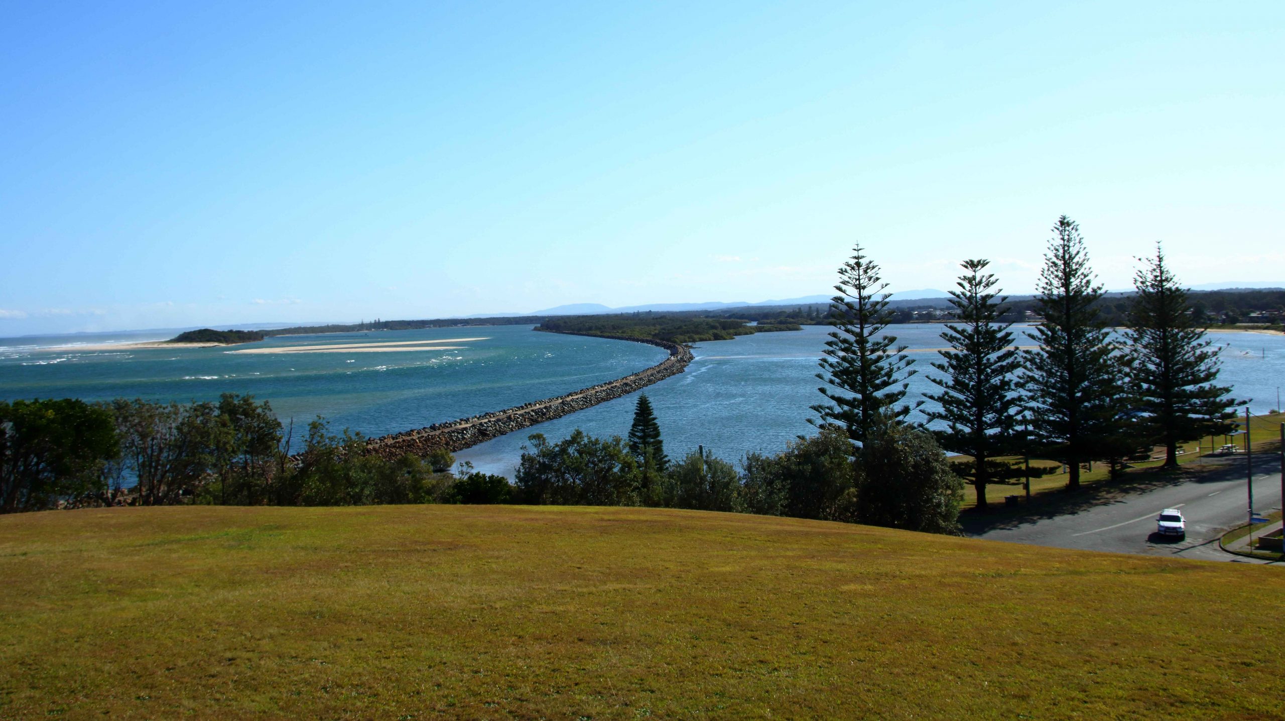
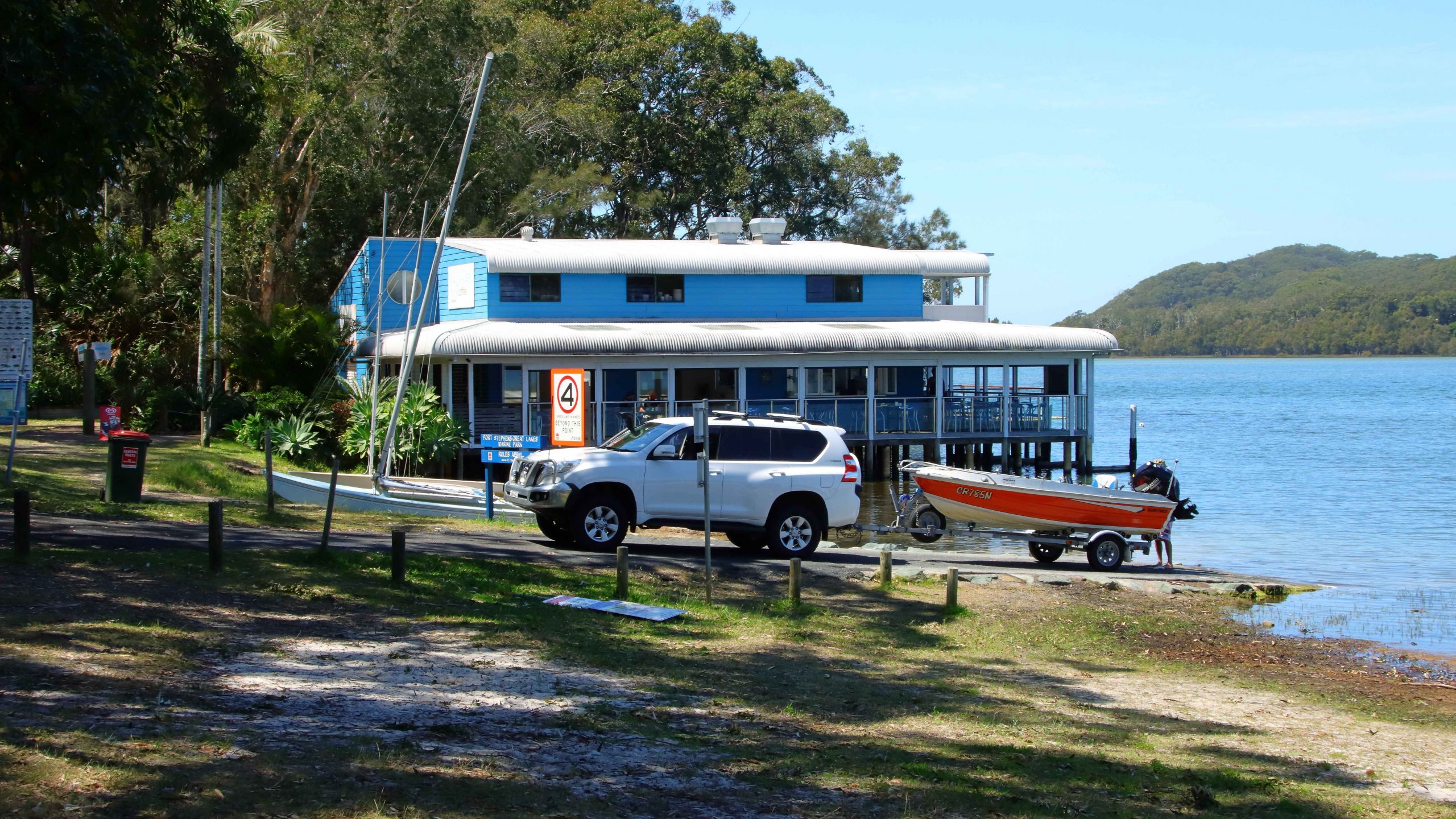
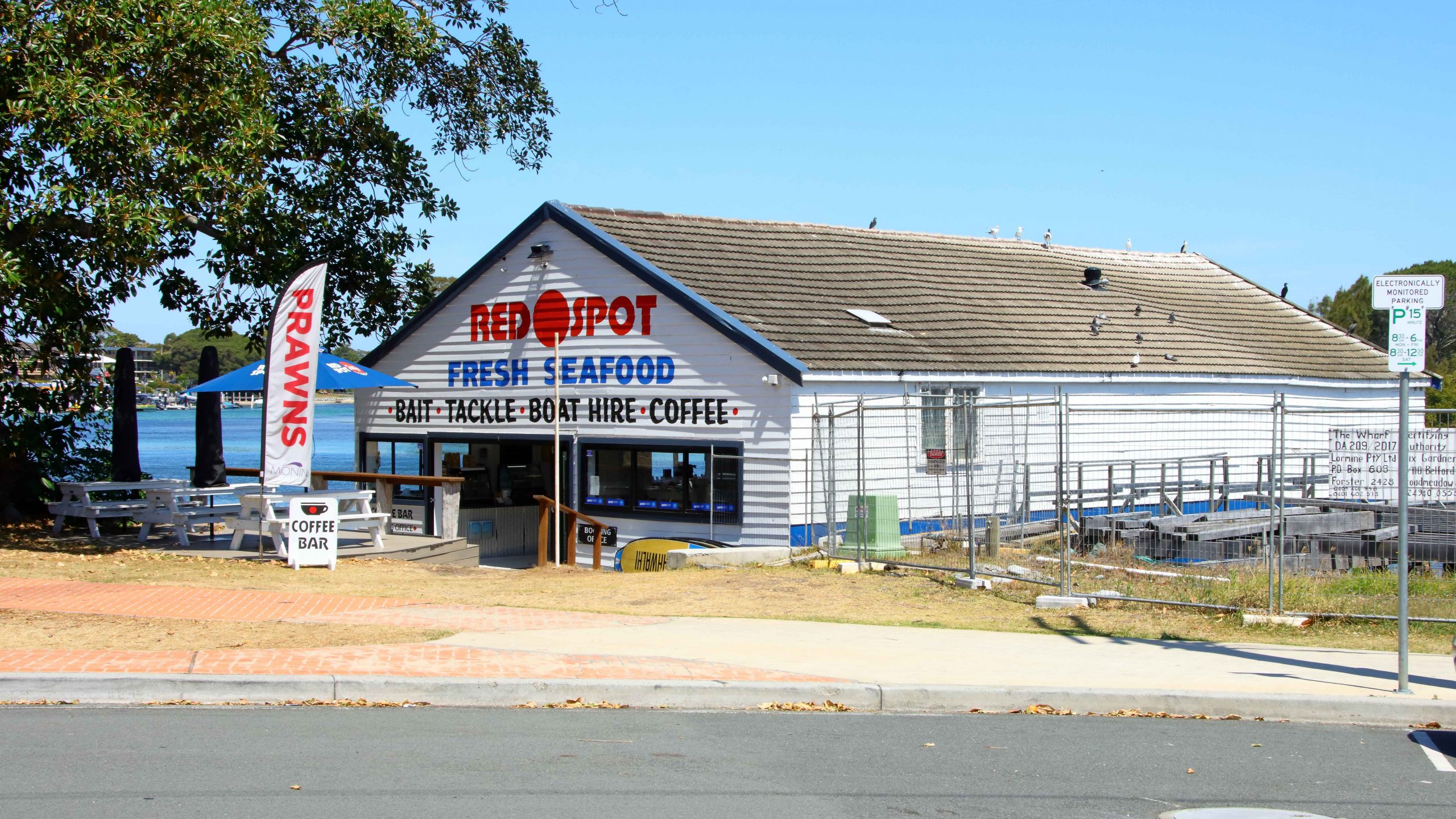
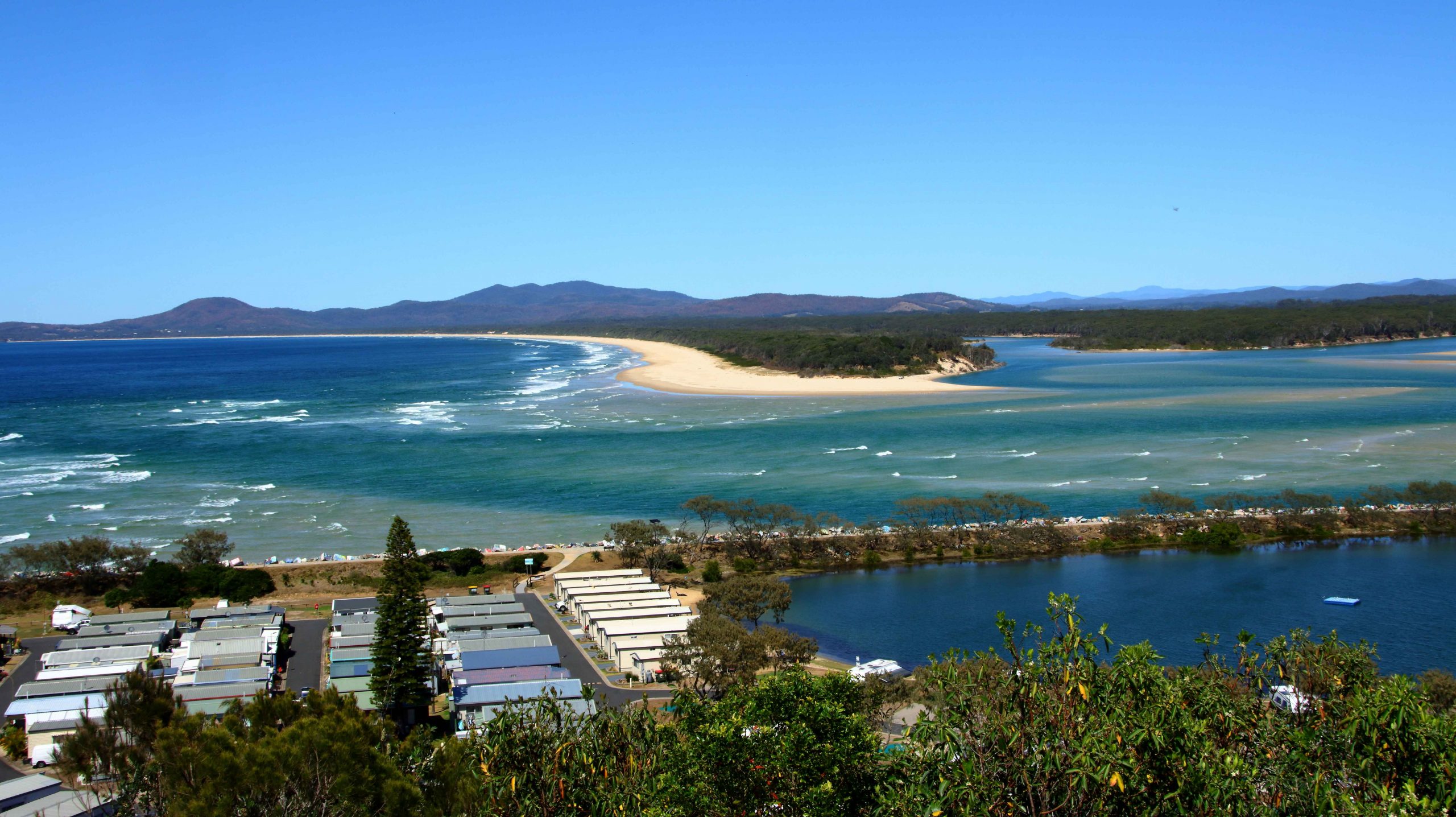
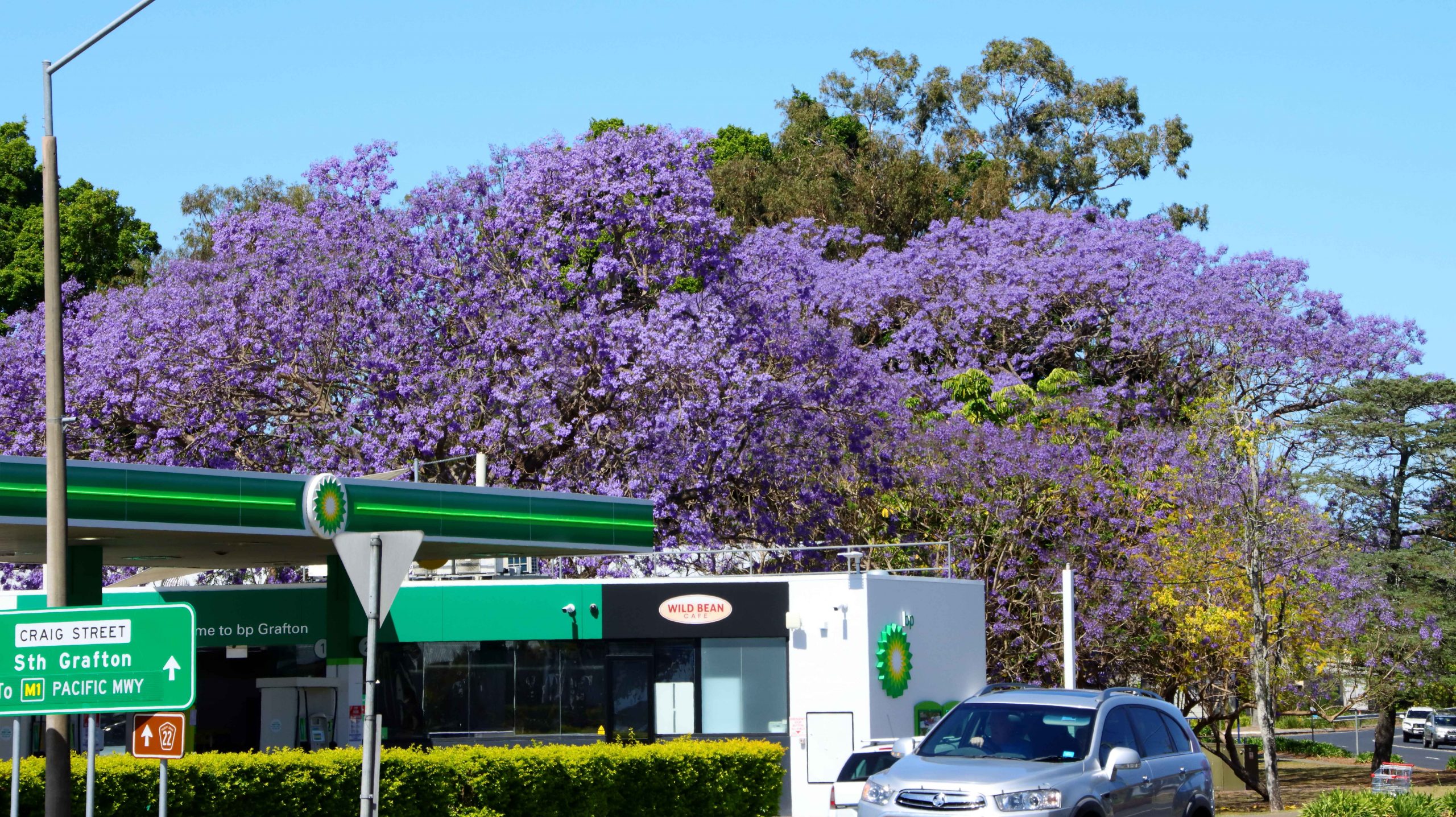
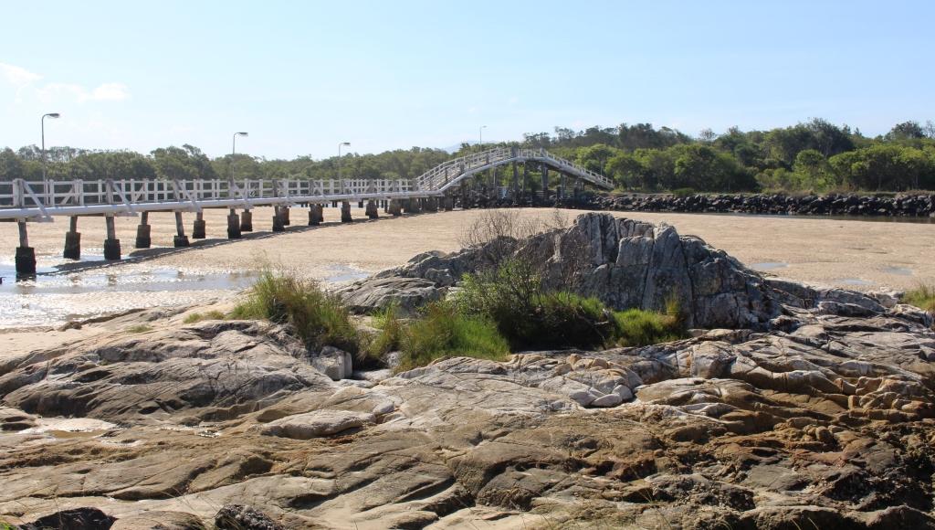
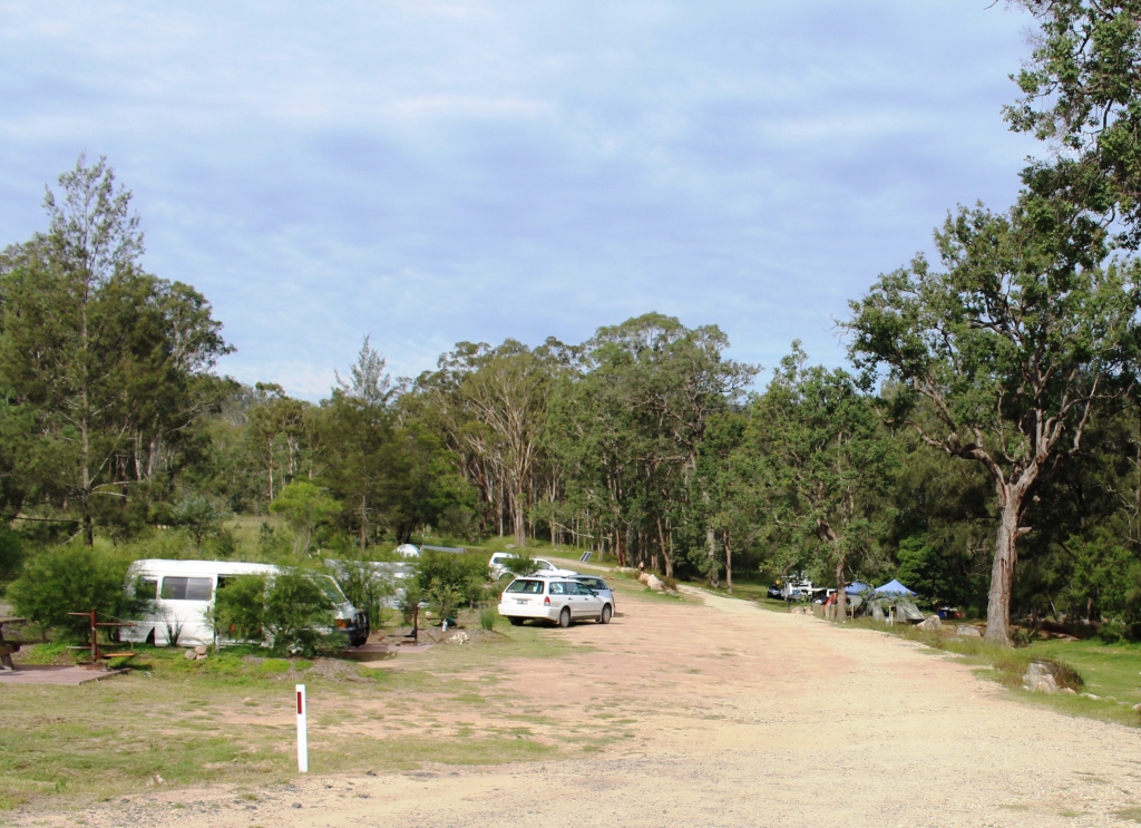
The caravan park at Canungra is

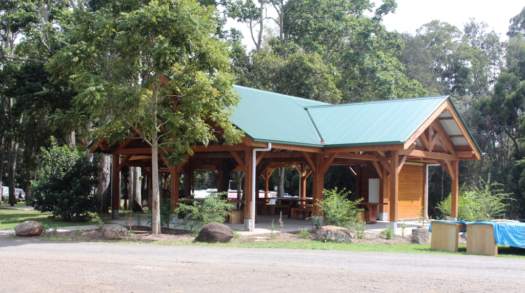
The camping area has a brand new camp kitchen
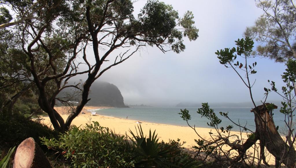
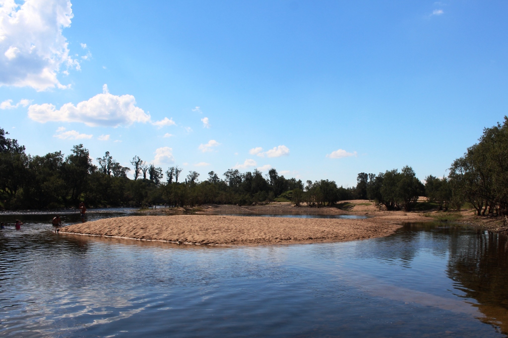
part of the local showground and is set within a bend in the Canungra Creek. Canungra is in the Canungra Valley.
Some sites are in the open, near the events area and exhibition sheds, but we have secured a site beside a clump of trees on a bank overlooking the creek. We are sharing the area with a tent and half a dozen vans of various sizes. It was quite warm as we set up, but as the sun’s passage took it behind the trees, the heat went with it, leaving us to enjoy an unexpected coolness as we sat outside of the van. We had been hiding inside with the air conditioning on before the change occurred.
Day 2 presented clear blue skies at sunrise. Then fog filled the valley and quickly became rain clouds. The Weather Chanel’s prediction of 40% chance of rain became 100%. Drizzle continued until just before we left for our drive, but then cleared away to reveal patches of blue among the grey.
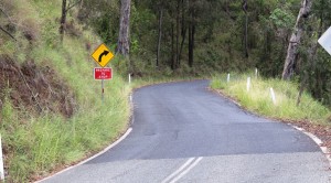
The road to O”Reilly’s Rain Forest Retreat is narrow, winding and steep in parts
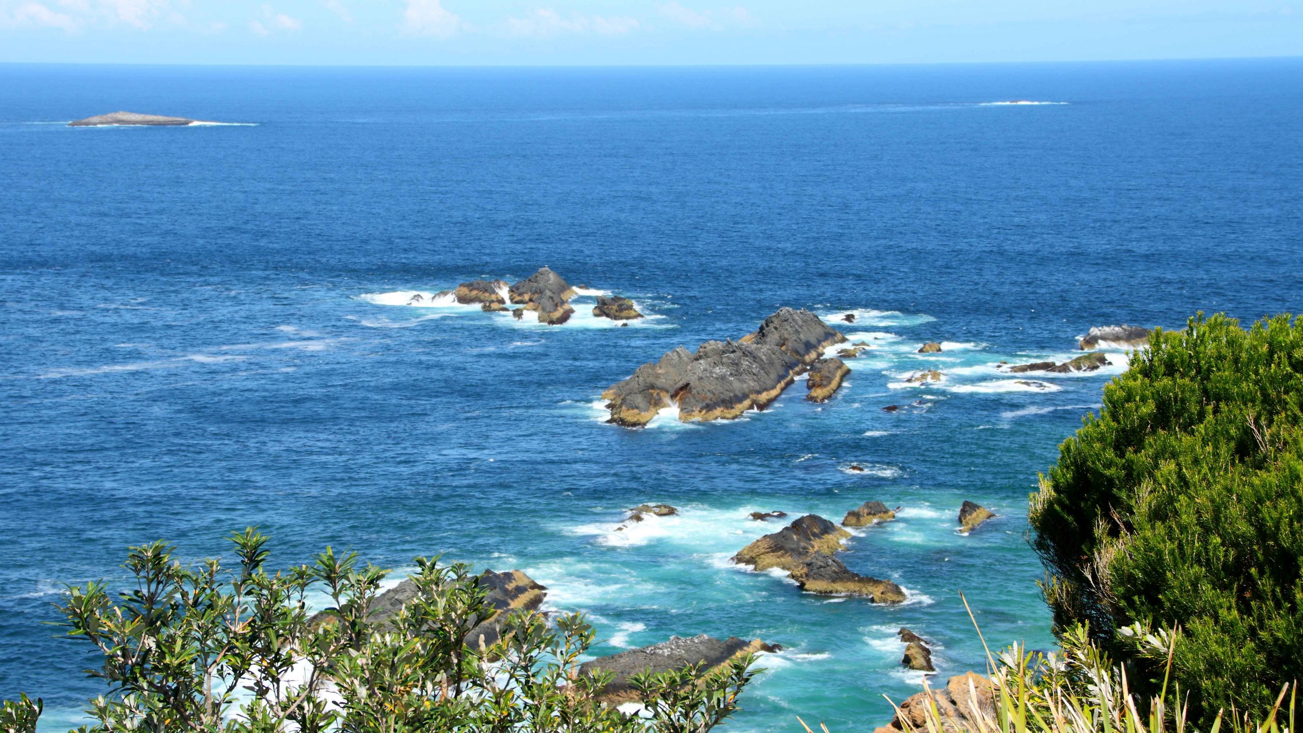
O’Reilly’s Rain Forest Retreat, at Green Mountain in the western part of Lamington National Park, is 36 kilometres from Canungra, firstly along the Canungra Valley and then up the range along a sealed road. There are many short single lane sections, so there seems to be almost as many “Give Way” signs as there are trees. The road was dry for most of the way but that changed. O’Reilly’s is near to 1,000 metres above sea level. Canungra is at a little over 100 metres, so the climb is constant and steep in some sections, often with totally different weather at the top.

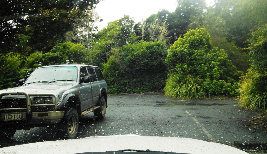
Rain drops on the windscreen and a grey sky
As is often the case with mountain tops, the clouds are not far above. The drizzle had returned, to make things inconvenient, so we looked around for a while, to give the weather a chance to improve, but it wasn’t cooperating. It seems that a shower had moved through the area, as on the return journey the road was wet well down the mountain.
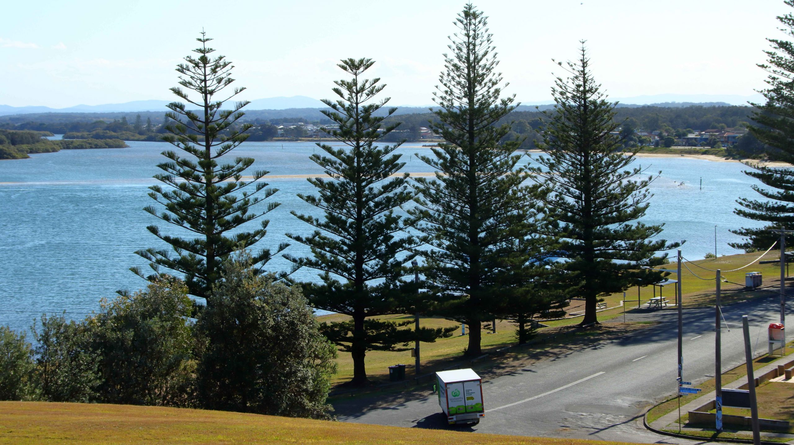
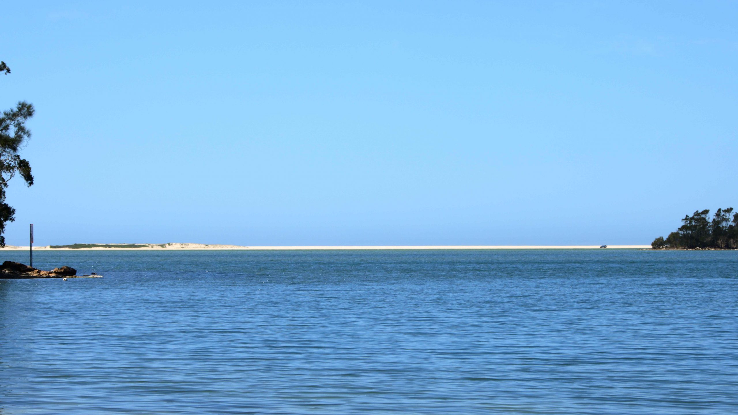
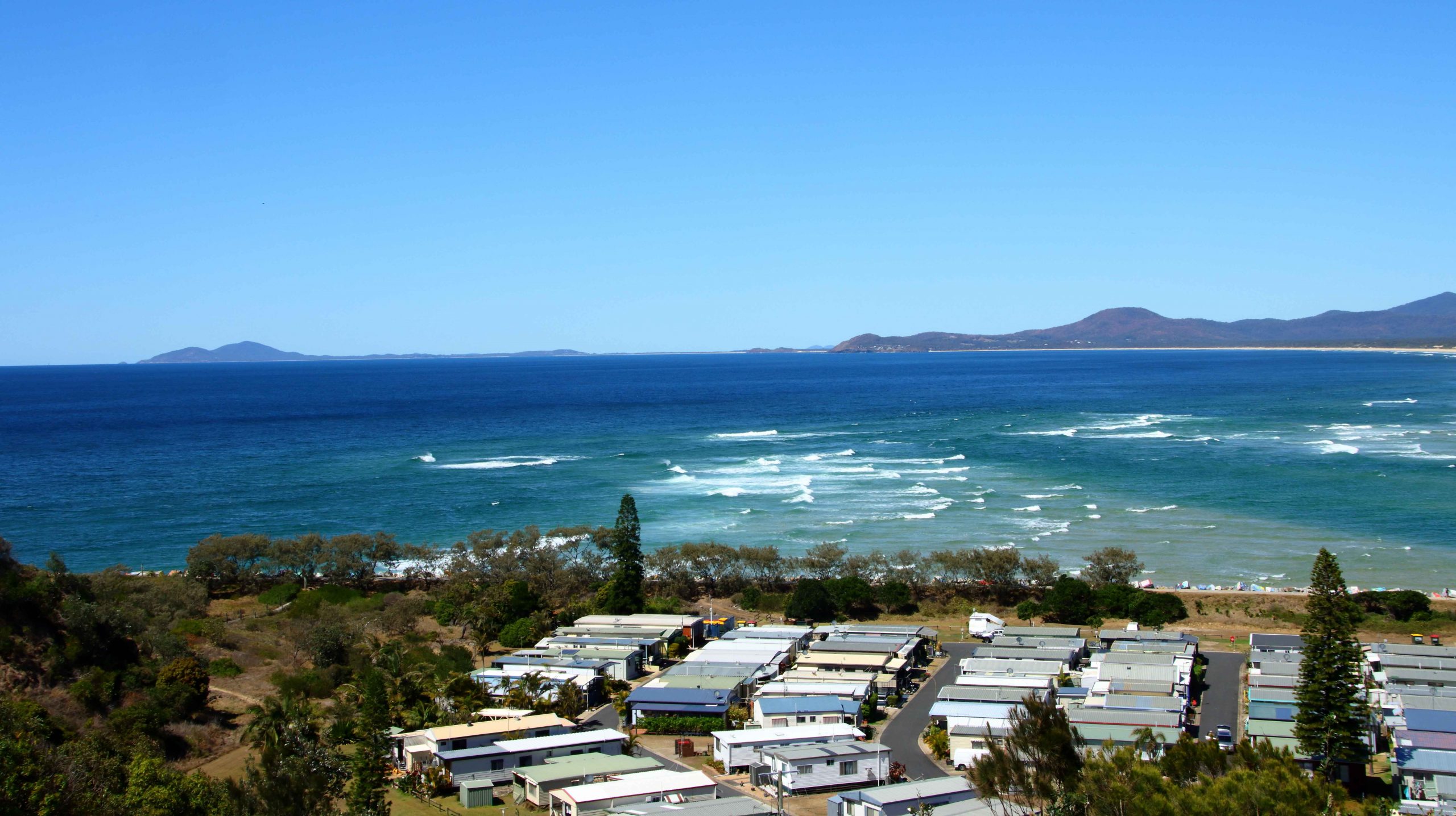
Back at the caravan, the sun was out and a pleasant breeze was keeping things comfortable. The creek seems to have a bit more water in it after the rain. On the far bank the farmer, mounted on his trail bike, has just rounded up his dairy herd. It will soon be time for happy hour. Not for the cows, though. Its milking time for them.
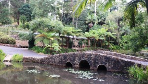
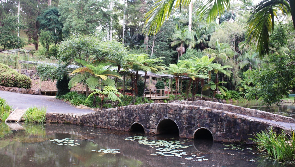
The foot bridge and shelters at the Tamborine Botanical Gardens
Day 3 had a much cooler start. It was great to sleep under a blanket, probably for the first time in about three months. There was a bit of rain overnight, then some early fog, cleared to a fine morning.
It’s only thirteen kilometres up the mountain to North Tamborine, which is the first bit of commercial activity you come to after reaching the top. Then it is just a short run to
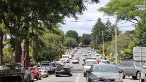
The busy roadway of Gallery Walk
The Gallery Walk, at Eagle Heights, where the action is. The main street is lined with eateries, galleries and a host of other shops, intended to tempt the jaded palette of the Gold Coast tourist who goes up there to escape sun, salt and sunburn for a day. There are three cellar doors offering samples of the local vintage and at least two shops featuring fudge. And of course, massage operators and tarot card readers. And souvenir and gift shops.

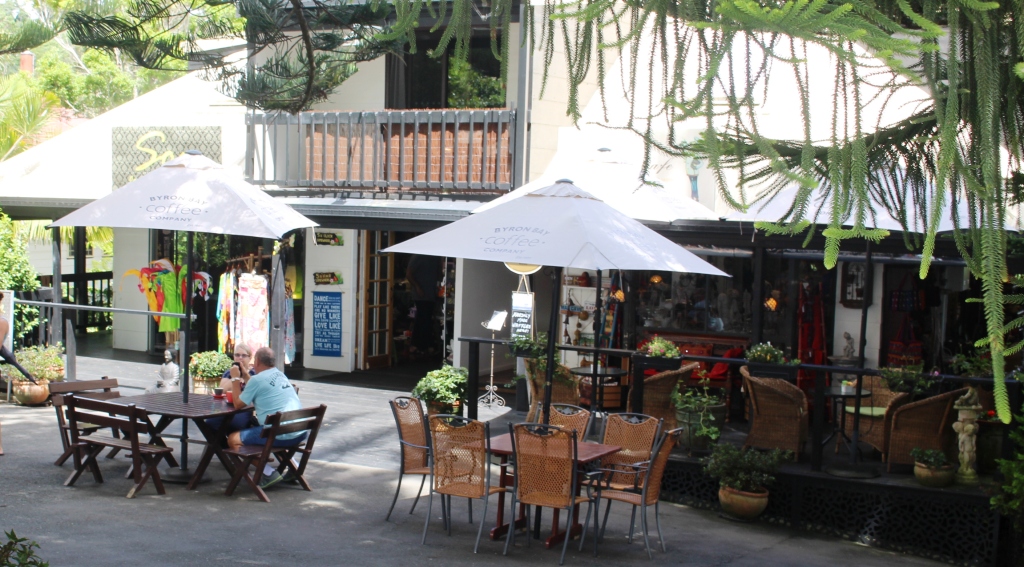
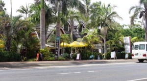
Places to eat are plentiful at Eagle Heights
Our first stop was the Botanical Gardens, where we made our morning coffee in one corner of the picnic shelter, to the back ground sounds of a young child’s birthday party. It was one of those events where young mums turn up with children, pushers, minute bicycles and soccer balls. We walked some of the paths and then moved on to do the mandatory walk down one side of Gallery Walk and back up the other side.
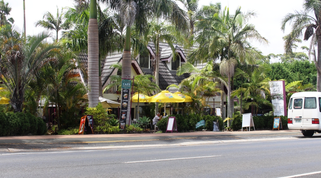
Another eating place on Gallery Walk at Eagle Heights
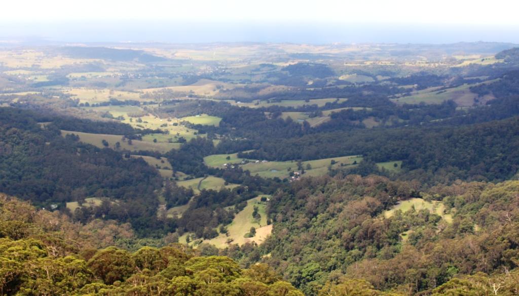
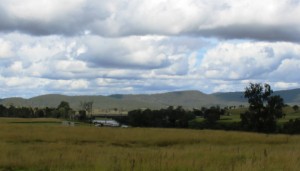
From there, we returned to Tamborine North to drive out to The Knolls National Park to enjoy the views back over the town of Tamborine towards Brisbane.and over the ranges to the west and south. Rows of ranges reach into the distance. With sunshine and a pleasant breeze we decided that this was a great location for lunch so we drove back to Tamborine North for some food and returned to the park to eat. It was a very pleasant lunch spot. On completion we returned to the caravan for a nana nap.
In the early hours of Day 4, we pulled up the doona to supplement sheet and blanket. It was quite a pleasant experience after over three months of nothing more than a sheet. The day dawned sunny and had reached the point of warmth and humidity by the time we had packed to start the day’s journey. A very easy day had been planned, with less than 100 km to Woodenbong, a small town just across the border into NSW, just off the Summerland Way.
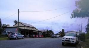
Early Saturday commerce in Rathdowney
After refueling at Beaudesert, we continued on, past the turn to the Kooralbyn Golf Resort to the small rural centre of Rathdowney, for the obligatory morning coffee. At the butchery/coffee shop (yes I know, a strange combination), motor cyclists and the occupants of SUVs were having breakfast or morning coffee while next door, at the general store, others were buying in essential supplies, for their trip into the hills. It was Saturday morning.
Over the road, a visiting team of lady bowlers had arrived for that day’s competition. We did BYO coffee at a table in the small park that separates the shops from Mount Lindsay Highway.
Mount Lindsay, from the highway that bares its name
We passed Mount Lindsay and 11.00 am in Queensland became 12 noon as we had crossed the border into NSW. Another 30 minutes saw us settled into the green and neat nomad community of the Woodenbong Caravan Park, in time for lunch and a quiet afternoon. A breeze tempered the sun’s warmth and abundant shade provided suitable reading and dozing locations.
Another doona night was promised with a low of 13C. That is too cold for me as a daytime temperature but good for sleeping at night.
Motor homes in the Urbenville municipal camping area
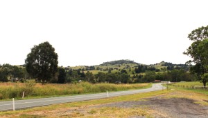
The road south runs through picturesque farm land
Day 5 dawned so quietly that we slept until 7.45 am. Not even a rooster in this small rural town, to wake us. As a result of our tardiness, there was a bit of a scurry to be out by the 10.00 am check out time, but we made it. We drove off into beautiful cool, crisp morning. The theory about coolness at higher altitudes has been proved.
We made for Urbenville, which was only a short distance into our day’s journey, but far enough to make it a coffee stop. We pulled in to look at the Urbenville camp ground, another council run facility similar to Woodenbong, but a bit less formal. It proved a suitable location for our coffee.
As we continued south, we first passed Old Bonalbo and then Bonalbo, which I assume is really New Bonalbo. I had not heard of either town before, but there they were, in the middle of nowhere. Old Bonalbo is a collection of houses up a side street with a couple of business, including the post office, on the main road. A few kilometres south, Bonalbo, also mainly built to the side of the main road, is larger, with a substantial commercial centre. Some businesses were open on this Sunday morning. Shops were also open in Woodenbong and Urbenville. Such weekend services are different to how it was in country towns when I lived in the bush.
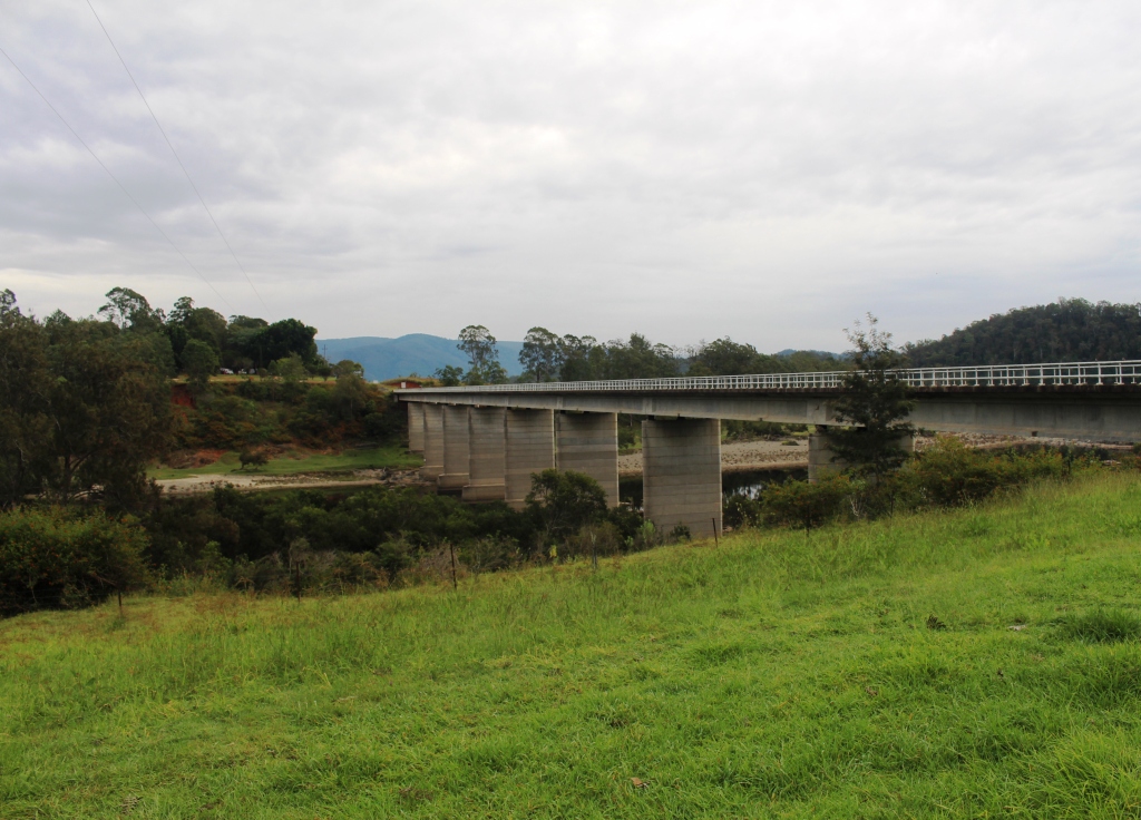
The bridge over the Clarence River at Tabulam
The Bruxner Highway is a good road over its entire length and this includes the Tabulam to Tenterfield section that we travelled, commencing with the magnificent single lane timber bridge over the Clarence River. Altitude increases by about 700 metres as the road crosses a couple of mountain ranges. We stopped at the small town of Drake, which is in a valley between two of the ranges, for lunch, reaching Tenterfield at about 2.00 pm NSW time.
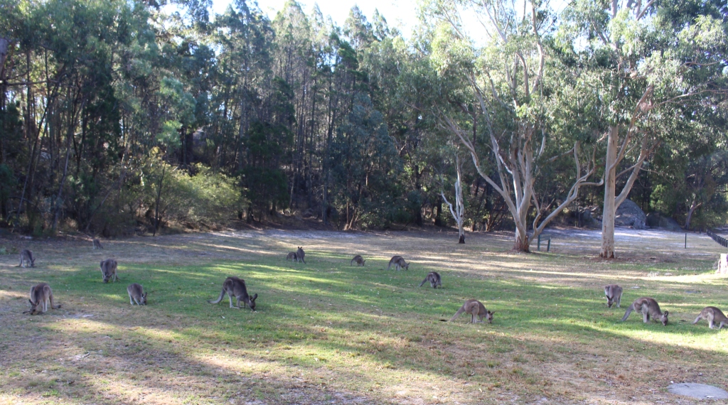
We stopped at Tenterfield to add to our stock of provisions. It is only about 30 km from Tenterfield to Girraween National Park, our location for the next two nights. We arrived at about 2.30 pm Queensland time and settled into our site. This is a rare National Park camp ground with flushing toilets and hot showers. It is about 2/3 full of caravans and camper trailers. Everyone seems relaxed and friendly including the kangaroos and bird life.

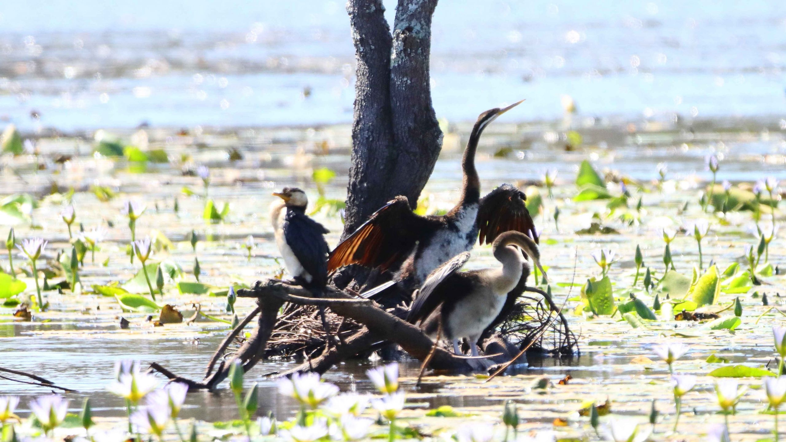
Grazing kangaroos at Girraween
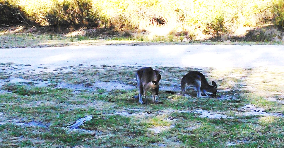
When we arrived, a group of about 20 kangaroos were nibbling the green grass in a fenced area beside the amenities block. For some reason two of their number, a mother and partly grown Joey, judging by their size, separated from the main group, hopped through the area around which the caravans and camper trailers are parked and began feeding a few metres from our van. They were
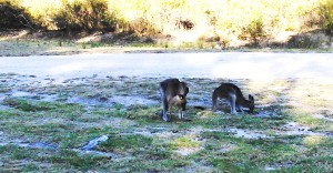
These two were quite friendly, grazing right by the van
not the least bit disturbed by us moving around near them and were still there when we went to bed.
Another overcast morning for Day 5. A strong breeze was disturbing the upper foliage of the trees. It was good walking weather, so we did two morning walks.
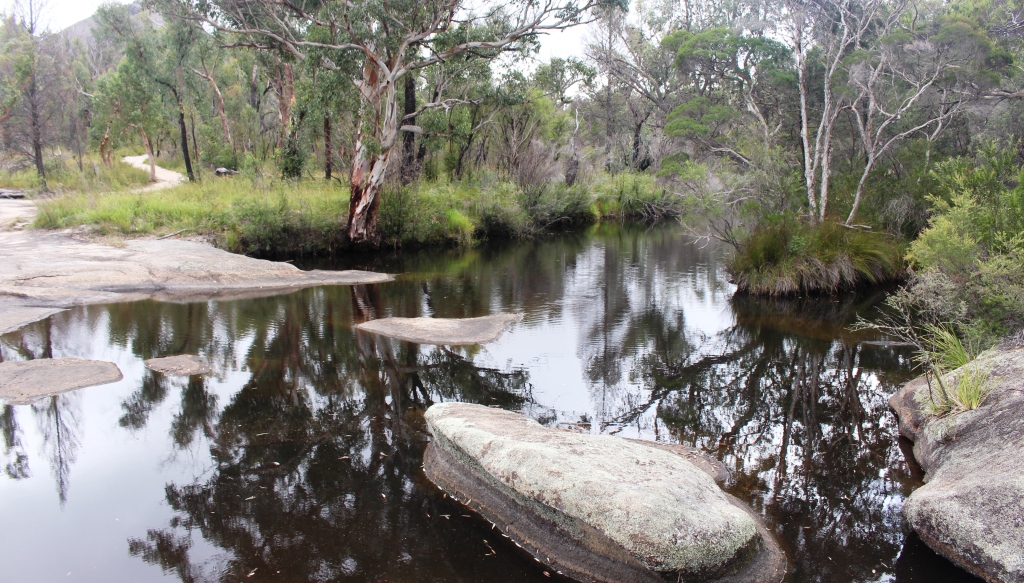
The first was the Wyberba walk, a distance of about 400 metres that

Waterhole in the creek on the Wybera morning walk
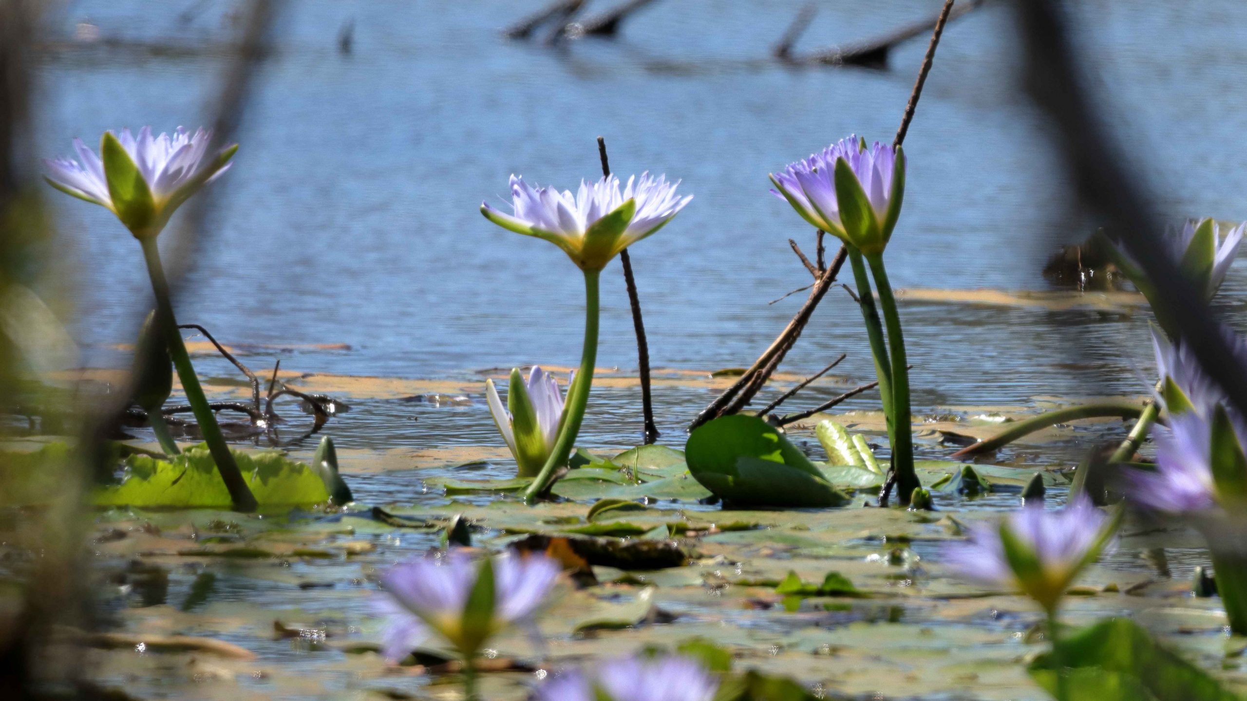
starts at the main car park and runs along Castle Rock Creek, the main stream in this part of the park. Rock pools in this stream are used for swimming, but there were no swimmers about today. Perhaps some will appear later, if the sun comes out.
The first walk completed, we returned to the van for coffee, then drove towards the eastern end of the park to the commencement of

Dr. Roberts Waterhole
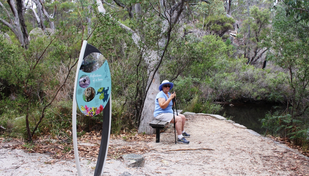
the Dr Roberts Waterhole walk. This is a 1.2 km return stroll along a well graded gravel path to one of the areas of the park used by early settlers. The large waterhole was a reliable swimming location, visited by groups travelling in carts and drays. It is named in honor of one of the main campaigners for the establishment of Girraween as a national park. It was well worth the walk.

A well placed seat has views along the waterhole
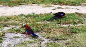
Feeding Rosellas
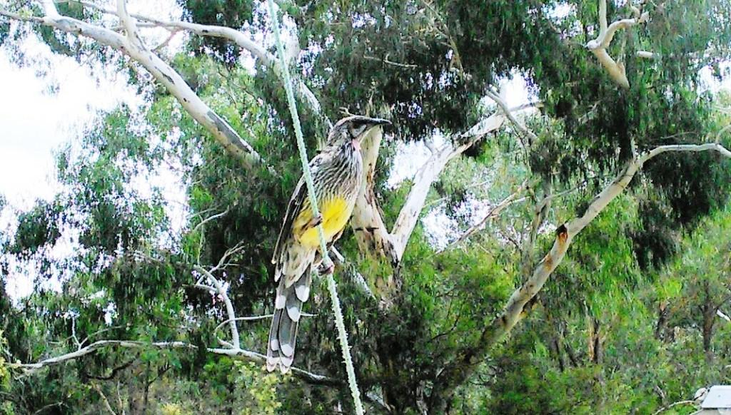
Back at camp, fathered wild life paid us visits during the afternoon. Rosellas were feeding in the grass, with two of them coming quite near to us. They totally ignored me as I photographed them. Then, quite suddenly, what we later identified as a Red Wattle Bird, landed in the guy rope of our awning and was content to remain there as we had a close look and
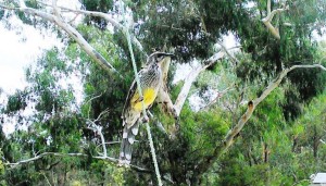
The Red Wattle Bird
took photos. The Red Wattle Bird is identified by small red dangling bits, not unlike ear rings, that hang just behind the eyes, on both sides of the head. We had neither heard of or seen a Red Wattle Bird before. Our bird guide tells us that there are Yellow Wattle Birds in the southern parts of Australia.
Day 6 was going home day. There is one of those days at the end of every trip and I never want to get to it.
This morning a second problem became apparent. The water pump was quieter than normal, a sure sign of a voltage drop in the electrical system. This was surprising as
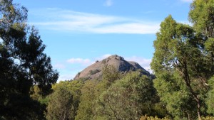
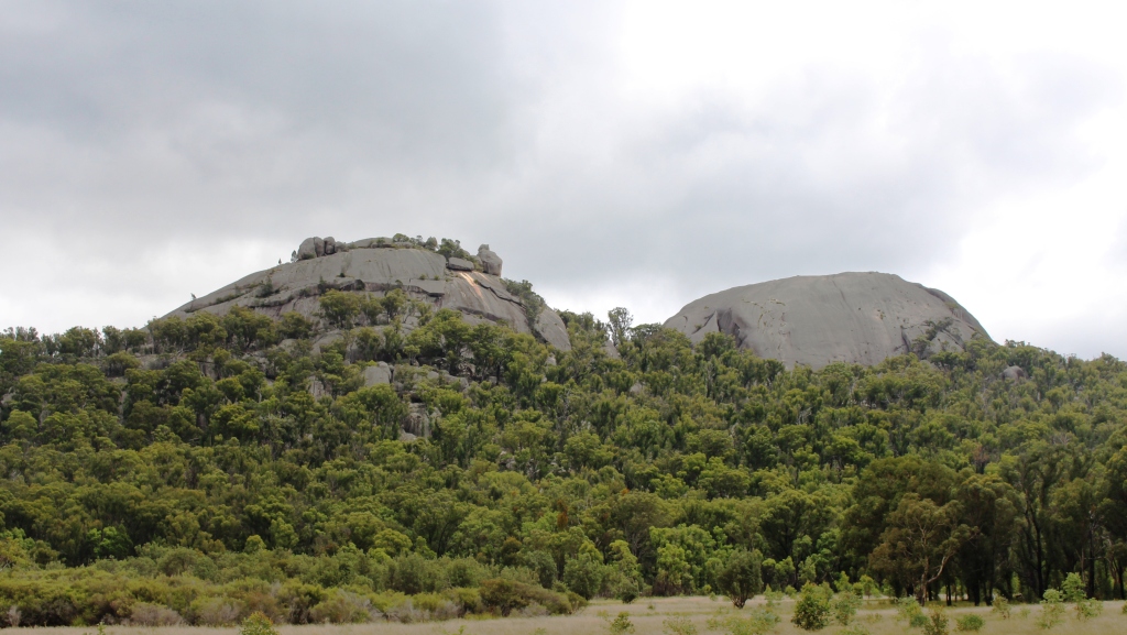
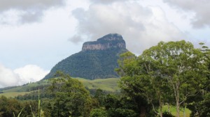
The Pyramid is a prominent feature of Girraween National Park
the battery had tested at a satisfactory level last night. Then the lights on the refrigerator control panel went out. In a national park, with no power, the fridge was operating on gas. So we turned everything else off and the 12 volt control lights came back on but, the battery was showing about 9 volts. Way too low!
Hooked up, with the alternator in the car providing power, the problem was solved in the short term.
The next item on our itinerary was morning coffee with Ruth brother and sister-in-law, at Warwick. Said brother had a birthday in a day or so. We spent a jolly 90 minutes with them and were on again on our way.

Other prominent rocks near the Pyramid
All that was left was to drive home, which we did via the Clifton to Gatton Road, arriving at about 4.00 pm, after a lunch stop at the Heifer Creek rest area at the foot of the Great Dividing Range.
To hark back to the problem with the Waeco portable fridge, the reason for a flashing error light first appeared to be that the “house” battery in the back of the Challenger, that is there to run the Waeco, is past its use by date, so must be replaced. Subsequent testing indicates that the battery in the caravan has also reached the end of its useful life. So two batteries need to be replaced before we head off again.
But there is more. With the battery replaced, the error light on the Waeco was still flashing. So that piece of essential equipment is currently with the service agent for repair.
Better to have happened now than somewhere in the outback. But that’s why we try to do a small trip before we commence a big one.