A Different Way There …. and Back – Post 5

Day 21 – 16th April – North Ryde to Mittagong – 109 Km

Day 22 – 17th April – Around Southern Highlands

The weather didn’t hold. The rain on the way home from the Blue Mountains continued through the night and into the next morning. I can’t remember the last time that I have had to wear wet weather gear to pack up to leave a caravan park. It was not only wet but cold as well. By the time we reached Mittagong the sun was breaking through but it was still cold. We hope that winter has not arrived.
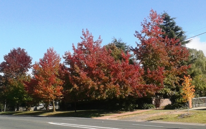
Autumn tints at Mittagong

Autumn tints at Mittagong

The next two days were about visiting relatives and friends. We set up at Mittagong Caravan Park before travelling on to Bowral to visit Ruth’s younger brother and his wife. Wall and Ginny are long term Southern Highlands residents. We had a good “catch up” and an excellent meal.

The next afternoon we visited Cliff and Marion at Burradoo. Ruth and Marion were friends in their teenage years. We have seen them on visits by them or us over the years. It is one of those friendships where each time we meet we simply pick up where we left off last time. We stayed for a bit longer than we had intended so had to make a dash back about 65 Km to Mt. Annan for dinner with Ruth’s youngest sister Dot and her husband Peter and their two beautiful daughters, Deahna and Madison.  Another great meal and a very pleasant evening!

Day 23 – 18th April – Mittagong to Gunning – 131 Km

Our departure from the Southern Highlands marked the end of visiting relatives but we still had one friend to go. My correspondence with Barry Medway started through the ExplorOz.com web site when we both owned Holden Jackaroos. Barry still does. When he heard that we would be passing by he invited us to park our van at his home near Gunning, which is near the better known town of Yass.

We paused at Goulburn to top up supplies and found a park with kerb space to park the van for lunch. In the interests of reporting things “BIG” we paused at the service centre at the southern end of town to see the Big Ram. It dominates the area, dwarfing McDonalds and Subway.
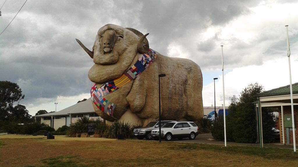
The Big Ram at Goulburn

The Big Ram at Goulburn

Barry is a retired farmer who still lives on his farm property. When we arrived he was busy helping his son to prepare several hundred sheep for shipment. We were invited to dinner with Barry and Ros, his wife, and enjoyed another excellent home cooked meal. We spent the evening discussing many issues including travelling remote parts of Australia. They are off on a trip that will include the Great Central Road that runs west from Ayres Rock and The Pilbara.

The farm house is in an elevated position so we were very aware of the freshening westerly wind that moved to the south west and brought with it memories of Victoria.

We left Barry the next morning assisting his son to load the sheep into trucks for a journey that will ultimately lead them to the dinner table. Perhaps your dinner table?

Day 24 – 19th April – Gunning to Temora – 182 Km

The turn off to Temora is a few kms south of Yass. A service centre is located where the southern entrance to the town leaves the highway which bypasses Yass, as it does Gunning. We refuelled and had morning tea before heading on. The main centre of civilisation on this road is the twin towns of Harden and Murrumburrah that sit cheek by jowl separated only by a small creek. Jointly they represent a substantial community.
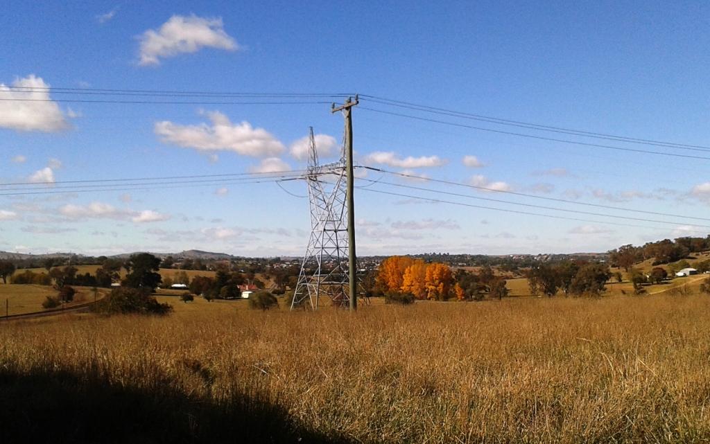
Yass at a distance

Yass at a distance

Temora is larger than I had remembered with a main street lined with older buildings including some that are both stately and colonial. Woolworths and McDonalds are here and even a small branch of Harvey Norman. The many agricultural equipment suppliers confirm that this is a grain area. We drove past many fields of wheat stubble and several silos, most with additional wheat stored under tarpaulins.

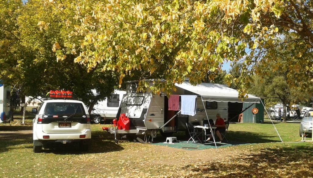
Our van is in the Temora Airport Tourist Park which is part of the airport grounds. As we set up for our stay we could keep an eye on arriving small aircraft as they landed and were carefully lined up at the side of the runway. Towards evening a loud roar alerted us to a small jet fighter taking to the skies to give us an appetiser for tomorrow’s main event.
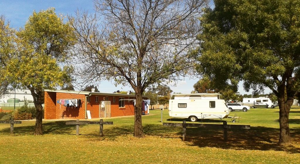
Temora Airport Tourist Park

Temora Airport Tourist Park

Day 25 – 20th April – Temora Military Air Museum
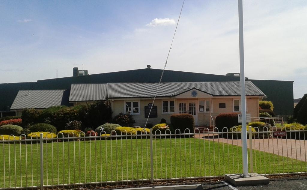
Temora Aviation Museum entrance

Temora Aviation Museum entrance

We have come to Temora for an Angel Flight Fly/Drive In at the Military Aircraft Museum. For those who don’t know of Angel Flight, it is a charity that organises volunteer private pilots to transport people with health and financial problems (the two often go together) from country areas to the city for treatment. Volunteer drivers (I am one of them) meet the plane at the airport and transport the patient and other family members to the place of treatment. I am called an Earth Angel. Pilots are Air Angels.

Angel Flight has been in existence for 10 years. The Fly/Drive In is a celebration of this mile stone. There are many more pilots than drivers as it is easier to fly to a place like Temora than to drive.
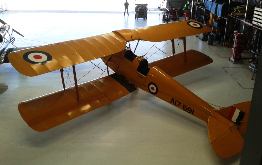
DH-82A Tiger Moth

DH-82A Tiger Moth

Ryan STM S2 USA trainer

Ryan STM S2 USA trainer

The museum is worth a visit. It is located on the site of a WWII pilot training base where Tiger Moth bi-planes were used to provide basic training for fighter and bomber pilots. The older of the aircraft date back to WWII but some come from the Vietnam era. All are capable of flight and on a flying day such as this some four or five aircraft will be demonstrated by experienced pilots. The line up for our visit was a Tiger Moth, a Ryan trainer, a Boomerang which was an Australian designed and built fighter, a genuine WWII Spitfire fighter and a Cessna A-37B Dragonfly, a jet fighter produced during the Vietnam war.

CA-13 Boomerang fighter
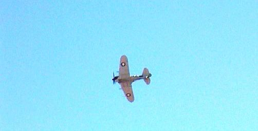
CA-13 Boomerang fighter

CA-13 Boomerang in flight

CA-13 Boomerang in flight


Supermarine Spitfire Mk VIII

Supermarine Spitfire Mk VIII

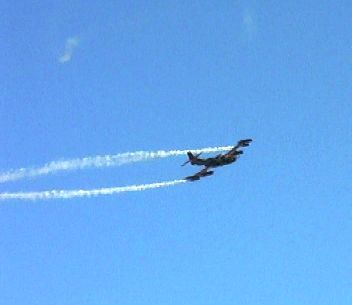
David Lowy, son of Frank of Westfield shopping centre fame, founded and heavily supports the museum. He is a world class aerobatics pilot and has been a world champion. He flies the Cessna jet fighter. It and the other aircraft are flown to demonstrate their capabilities so there is a great deal of noise and much craning of necks as all eyes are skyward. The sound of the Rolls Royce Merlin V12 engine in the Spitfire was a real treat to an former teenage reader of Biggles books like me.
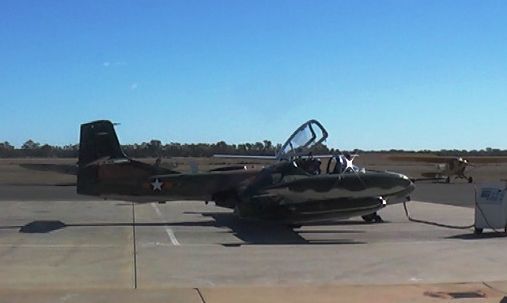
Cessna A-37B Dragonfly Fighter
Cessna A-37B Dragonfly Fighter

Cessna A-37B Dragonfly Fighter in flight

Cessna A-37B Dragonfly Fighter in flight

In the evening we attended a dinner at the Temora RSL club, a sort of 10th birthday callebration. An excellent meal and very few speeches allowed pilots to talk aircraft all night. We Earth Angels and our partners just listened or allowed our attention to wander.If you would like know more about the museum go to www.aviationmuseu.com.au

Day 26 – 21st April 2013 – Temora

A lay day! Work catch up, washing and some reading and blog writing, of course.
A Different Way There ….. and Back – Post 4

Day 15 – 10th April – Mudgee to Woodbury – 310 Km

Day 16 – 11th April – Woodberry

The run to Newcastle was pleasant. The road is good but hilly, so a bit slow towing the van. The coal mines at Ulan seemed larger than last time. We took a morning tea break where the Ulan Cassilis Road meets the Golden Highway and stopped for lunch at a small park in Singleton. We arrived at Woodberry mid-afternoon.

Woodberry is just off the New England Highway, just north of the Hexham Bridge over the Hunter River on the Pacific Highway. Ivan is older than me by about six years and is very active for his age, still caravanning, gardening and wood turning. He recently distinguished himself in the wood turning area by winning this segment at the Newcastle Show.

We spent most of the time just catching up, but he did take us to meet a lady with whom I used to walk, with others, to the Boolambayte School about 65 years ago. The walk was mostly across farm land and bush tracks and was 7 km each way. Neither of us has suffered for the exercise. Indeed, we both should have kept the exercise up! Boolambayte School no longer exists but used to stand by the road now known as The Lakes Way that runs between Bulahdelah and Forster on Lake Wallace.
Ivan and Marjorie (his wife) live just a couple of hundred metres from the main north coast railway line, which is the main coal carrying line from the Hunter Valley coal mines to the Port of Newcastle. Trains of up to four locomotives and 100 wagons ply the line day and night, a train passing every few minutes. Rather interesting sleeping in the caravan in their drive way. But we got enough sleep … between trains.

Day 17 – 12th April – Woodberry to North Ryde – 146 Km

Ruth has a sister who lives with her husband at Hamlyn Terrace, near Wyong just north of Sydney. We had lunch and a chat, partly about our respective travels. They are more ardent travellers than we are but love to travel by train where possible. Their next trip includes Townsville to Mt. Isa which they are doing now in case the service is closed.

We came on to Sydney after lunch and established ourselves at the Lane Cove River Caravan Park. After setting up, we drove to Erskineville (Ersko to the locals) to see our daughter Briony’s new unit, where she has only been in residence for a short time. After delivering a huge bag of Tupperware that we had been storing she took is for a short stroll to where the action is in King Street for a meal in a noisy pub. But the meal was good, particularly the chips. Then home to the van for a good night’s sleep. I have managed to pick up a cold so my sleep was not so good.

Day 18 – 13th April 2013 – North Ryde

Briony was busy today so we had a day to do washing and to catch up on some work responsibilities. The weather continues to produce days in mid 20s and cool to cold nights. It is ideal weather for travelling. Long may it last!

Day 19 – 14th April – Eastern Sydney Coast

The plan was to spend time with Briony. We decided on fish and chips for lunch from the take away at Doyle’s famous sea food restaurant at Watsons Bay. It was a warm day with blue sea and sky so half of Sydney’s population seems to have had the same idea. Not to worry! Let’s drive down the coast until we find a place where we can park. It was a popular beach day and no spot was to be found as we drove past those well known eastern beaches. Finally we gave up and went instead to Eastgardens shopping centre (a big one) where we found a Japanese restaurant and a very tasty and inexpensive meal.

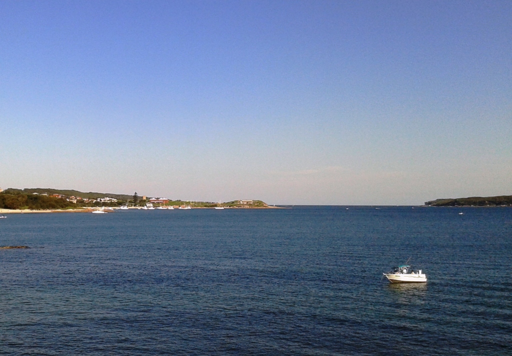
The trip continued south to La Perouse, past Port Botany and onwards until we crossed the Georges River. We turned west returning to Erskineville via the Princes Highway.

La Perouse & Botany Bay Entrance

La Perouse & Botany Bay Entrance

I’m sorry folks, but as I was driving and there were not many opportunities to park I do not have many photos.

Day 20 – 15th April – Blue Mountains & Jenolan Caves – 351 Km Round Trip

Briony doesn’t have a car so we asked her if there was anywhere she would like to go that was not readily accessible to her. After overnight consideration she asked “Is Jenolan Caves too far?”  As it happened Jenolan had been in our original itinerary but we had cut it out to make some other things fit in.

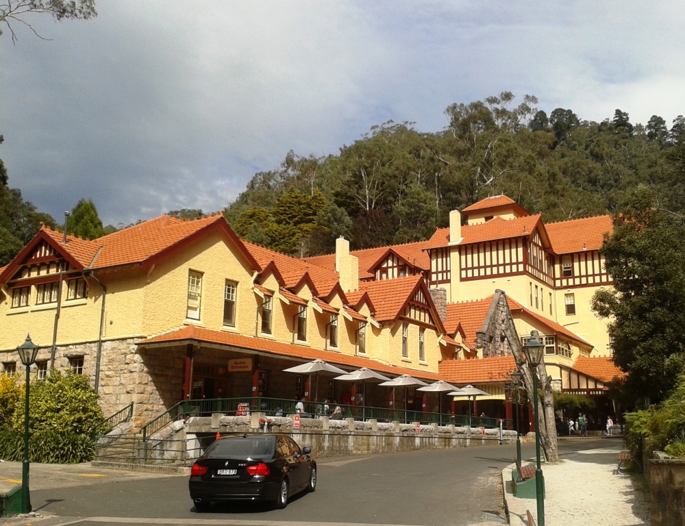
Caves House at Jenolien

Caves House at Jenolien

Caves House through Autumn tints

Caves House through Autumn tints

We collected Briony from the Kiss N Ride at North Ryde station and dived into Sydney peak hour traffic. We were travelling in the opposite direction to most of it but it was bad enough. But the worst part was crossing the Blue Mountains. Most of the distance from Penrith has a top speed of 80 kph but there was road works going on in many parts with speeds down to 40 kph in many places. I almost envied explorers Lawson, Blaxland and Wentworth.

The result was that the trip out took almost 3½ hours. But we don’t get to have long conversations with our youngest daughter very often and besides, Adam Scott winning the US Masters took up some of the journey.

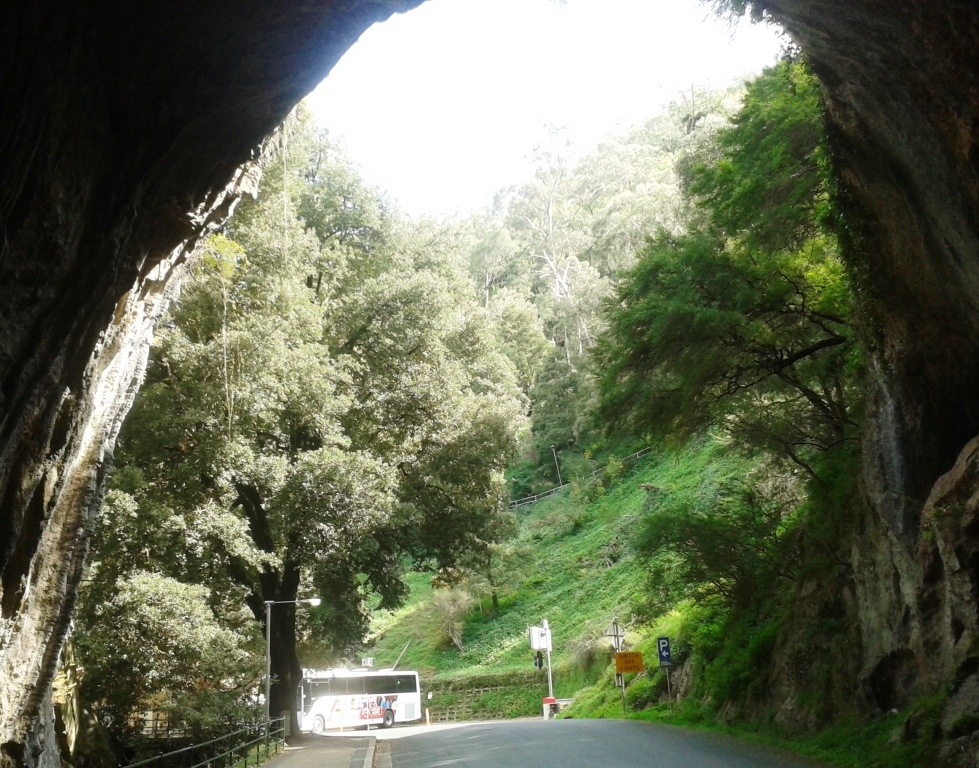
The Grand Arch leads to the cave entrances

The Grand Arch leads to the cave entrances

We arrived at the cave precinct at about 11.00 am, booked a mid-day cave tour and went off to have a late morning tea at the Caves House cafeteria. Caves house looks the same as I recall it from our visit on our honeymoon almost 51 years ago.

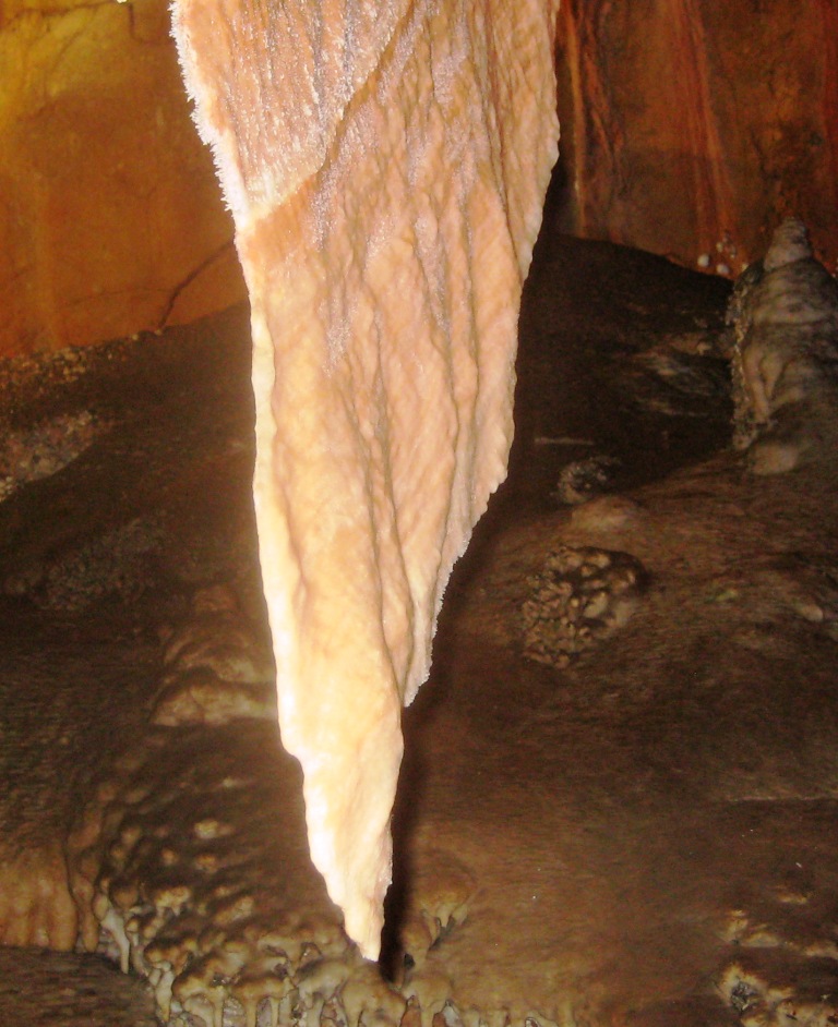
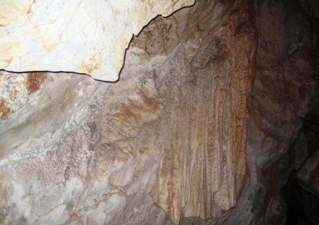
A good example of a shawl formation

A good example of a shawl formation

Briony and I did the combined Imperial and Diamond cave tour while Ruth sat it out and continued work on the latest trauma teddy. There are a lot of steps in all the caves. The one we chose had about 500 but even the easy caves have at least 280. Ruth doesn’t feel very confident about dealing with steps these days.

A Pillar formation

A Pillar formation

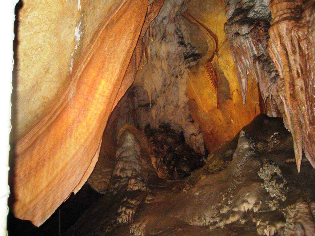
The cave was magnificent. The tour was of 90 minutes duration so there was a lot to see. The cave contains several long galleries that are lined with a constant succession of stalagmites, stalactites, columns, shawls and all the other features that are seen in limestone caves. On the lowest level of the cave an underground stream of the purest and clearest water flows beneath the walkways. We were told that divers descend 100 metres in the stream and could go further if they could dive deeper.

Another shawl formation

Another shawl formation

We emerged none the worse for wear at the conclusion of the tour and went for a late lunch and a much needed cup of coffee. I handled the cave without problem. The cave was a medium standard cave so on that basis I would be prepared to try a difficult cave next visit. Some say that the more difficult caves have the best features.

More formations from the cave
More shawl formations

More shawl formations

More formations from the cave

 
More formations from the cave

But a word of warning! If you visit the caves try to avoid a group that contains a shutter happy Japanese tourist who wants to photograph his wife and children against a background of everything. Try even harder to avoid a group that contains two of them.

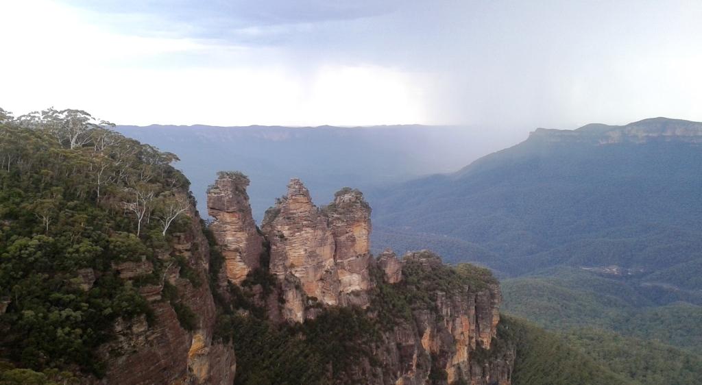
Three Sisters and storms

Three Sisters and storms

Briony had tried to see The Three Sisters at Katoomba a few months ago but they were totally obscured by cloud. To correct that misfortune we decided to visit Echo Point on our way back to Sydney. It was late afternoon by the time we arrived and storms were sweeping over the mountains that are visible from Echo Point, but The Three Sisters were clear of visual obstruction so Briony had a clear view.

Ruth, Briony and the Three Sisters

Ruth, Briony and the Three Sisters

We were disappointed with the support facilities at Echo Point. They do not do justice to the superb view that Echo Point provides. This place is a true Australian tourist ikon.

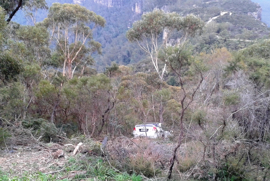
We did the Cliff Drive to once again take in the magnificence of the views. Towards the end of the drive we turned off into the Narrow Neck lookout and met a sight that we did not expect. We looked down and there was a small car, complete with P plate, with its bonnet resting against the very last tree that could stop it from going over about a 500 foot precipice.

It is a long way down!

It is a long way down!

We could not tell if occupants were still in the car and it was far too dangerous to climb down. So we called the police who took details and asked us to wait until someone arrives but called back shortly after to let us know that they knew that the car was there and that a tow had been arranged. It seems unlikely that anyone would have been injured badly but the occupants are some of the luckiest people on earth. Or should that be still on earth?

It was dark by the time we reached the outer suburbs of Sydney and the onset of rain did not help matters. We decided that a quick and easy evening meal was the way to go so just before reaching Briony’s unit we detoured to collect some KFC which we helped Briony demolish. We then returned to the van for a well earned night’s sleep.

A Different Way There …. and Back – Post 3

Days 11 & 12 – 6th & 7th April – Dubbo

We stopped over in Dubbo for three nights to see the Taronga Western Plains Zoo. We have heard good reports of it for years, and have often driven past on our way to and from Melbourne. This time we decided that we would visit it. So after attending to chores and some of the other things that keep the ship running we had lunch and drove out to the zoo. It is only a short distance from the caravan park.

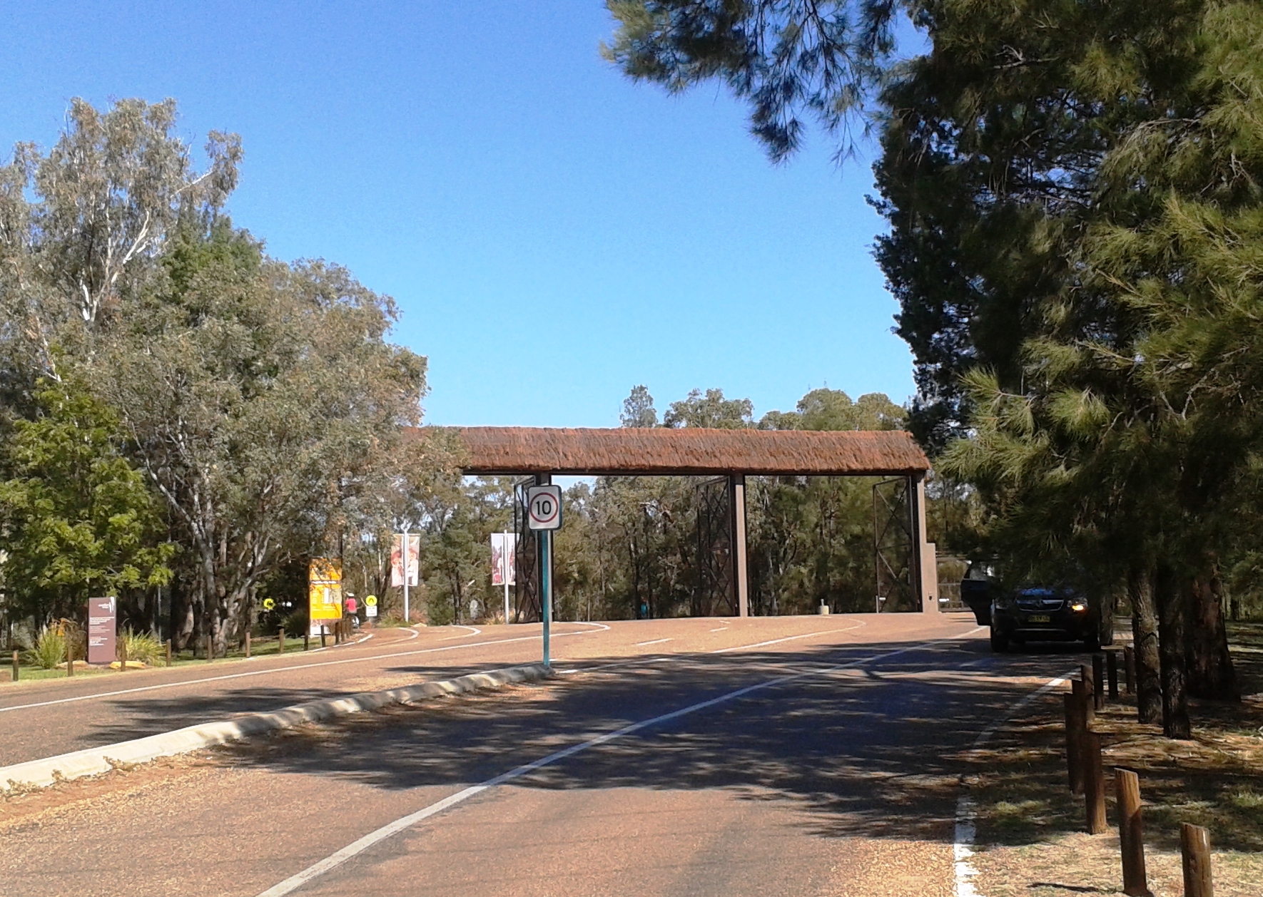
Zoo Enrty

Entry gate to Zoo precinct

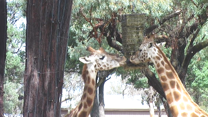
To say that the zoo has been well done is an understatement. After spending over seven hours there I can’t think of any significant improvement to the way that it has been developed. The most common way to see the exhibits is to drive around and park at each enclosure. Some walking is necessary to see all of the exhibits but most can be seen from the road. Alternatively you may hire a golf cart or a bike. Or bring your own bike, if you like.Garaffs 2

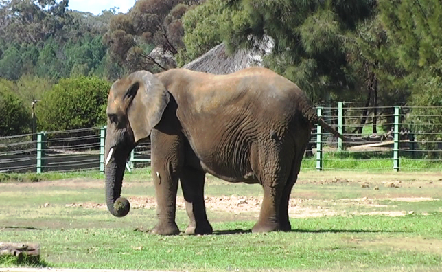
Elephant

The road traverses the park in a series of sweeping loops. This arrangement lends itself to the curved enclosures that provide a good view of animals, even when they think they are hiding. Enclosures are sunken below the road level. Fences are at the foot of mounds constructed between the road and enclosures so that when you get out of your car you ascend the small mound. The fence of the enclosure is right below you at the foot of the mound. You are not overly conscious of the animals being caged as you watch them.

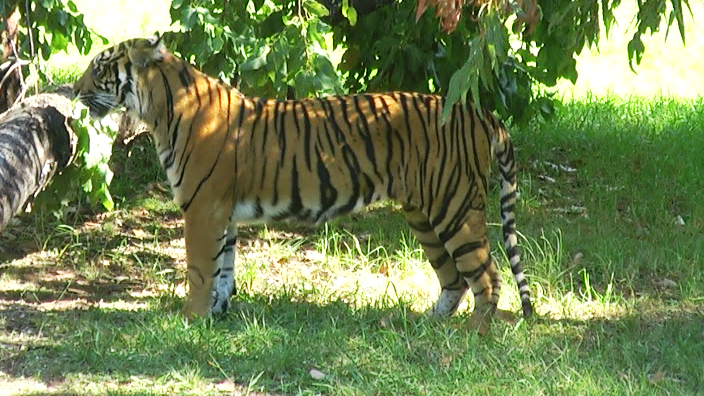
Tiger

Some enclosures have observation decks and the African Viewing Tower allows observation of several enclosures. The zoo covers 300 hectares of open-range country with exhibits built among the scattered scrubby pine trees that are native to the area. Other trees have been added as required.

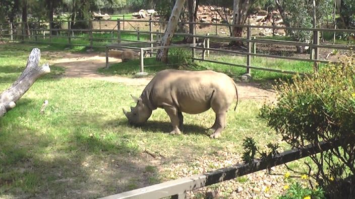
Black Rino

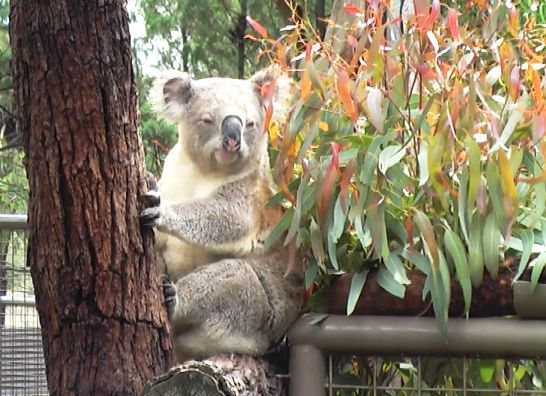
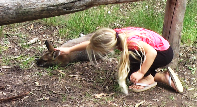
Animals are mainly from Africa and Asia but there is a good display of Australian mammals with the koala as the central exhibit. At home we have koalas in the trees over our side fence but we don’t get the views provided to visitors to the Western Plains Zoo. The wallabies in this enclosure are so tame that children, yes and this old child, were patting them.

Koala

Friendly Wallaby

We spent about two and a half hours there on Saturday and most of Sunday. The cost for an adult to gain access on two consecutive days is $44.00. Excellent value when compared to the entry fee for theme parks in the Gold Coast area.

Dubbo is a very substantial inland city with a population of more than 40,000. I don’t think I have ever seen a town with so many motels. Where do the people come from to fill them?

Day 13 – 8th April – Dubbo to Mudgee – 128 Km

Again under almost cloudless skies we set off on the short trip to Mudgee. The road leads through more grazing country but with a few more hills than we experienced in the Castlereagh valley. We passed through a couple of country towns, the most interesting of which was Goolma.

Looking for a toilet break we found a small stand alone three door structure surrounded by a number of story boards setting out a great amount of information about the attractions to be found along the route that runs from Singleton through Mudgee, Lithgow and Oberon to Canberra.  It was a great example of the kind of promotion that is helping to build tourist numbers in rural Australia.

Loo with Story Boards

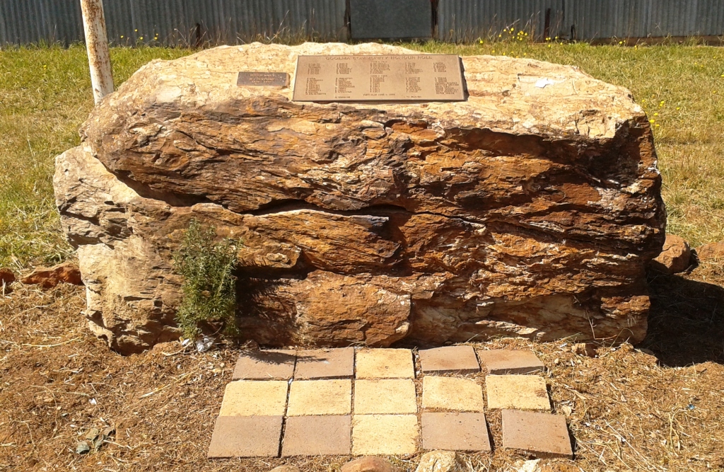
Small Town Memorial

Toilets and War Memorial at Goolma

Opposite, on the other side of the road, a small memorial to lives lost in two World wars and Vietnam has been built. The number of names from such a tiny town is surprising. I guess it is an indication of the higher density of the farm population of the era and the number of farm boys who went to the war.

Parked under shady trees

Under shady Autumn trees at Mudgee

Mudgee is trying to be a tourist town but falling at some hurdles. It is a leafy town after the style of Bright in Victoria but has some distance to go before it reaches that level of sophistication. There are lots of vineyards and as Mudgee is a reasonable week end drive from Sydney or Newcastle it is attracting the latte set in large numbers. It promotes itself as a wine and food centre but on a Monday evening when we wanted to go out to celebrate Ruth’s birthday almost nothing but pubs and clubs were open. With the weekend over most hospitality establishments were taking a couple of days, or nights, off. We did finally find a restaurant open and enjoyed a superb meal.

Day 14 – 9th April – Mudgee

We have been having trouble with fittings coming off the cables from the antenna to the TV. Some unsuccessful DIY on my part!  Last night while looking for a restaurant we saw a Jaycar shop so were on their door step first thing this morning to see if they could put more permanent fittings on. They were able to do so and the result seems to be most successful.

After a haircut (for me) and some shopping (for Ruth) we set off to look at the area, which means look at wineries. I am never enthusiastic about wine tasting when I am not interested in buying. As this was the case today it only took a pushy cellar door attendant and a bad white wine to destroy our motivation. We decided to drive around the area instead, looking at the vineyards from the road and generally getting the feel of the place. There is a great deal to see in the surrounding area. A longer visit in the future could be on the cards.

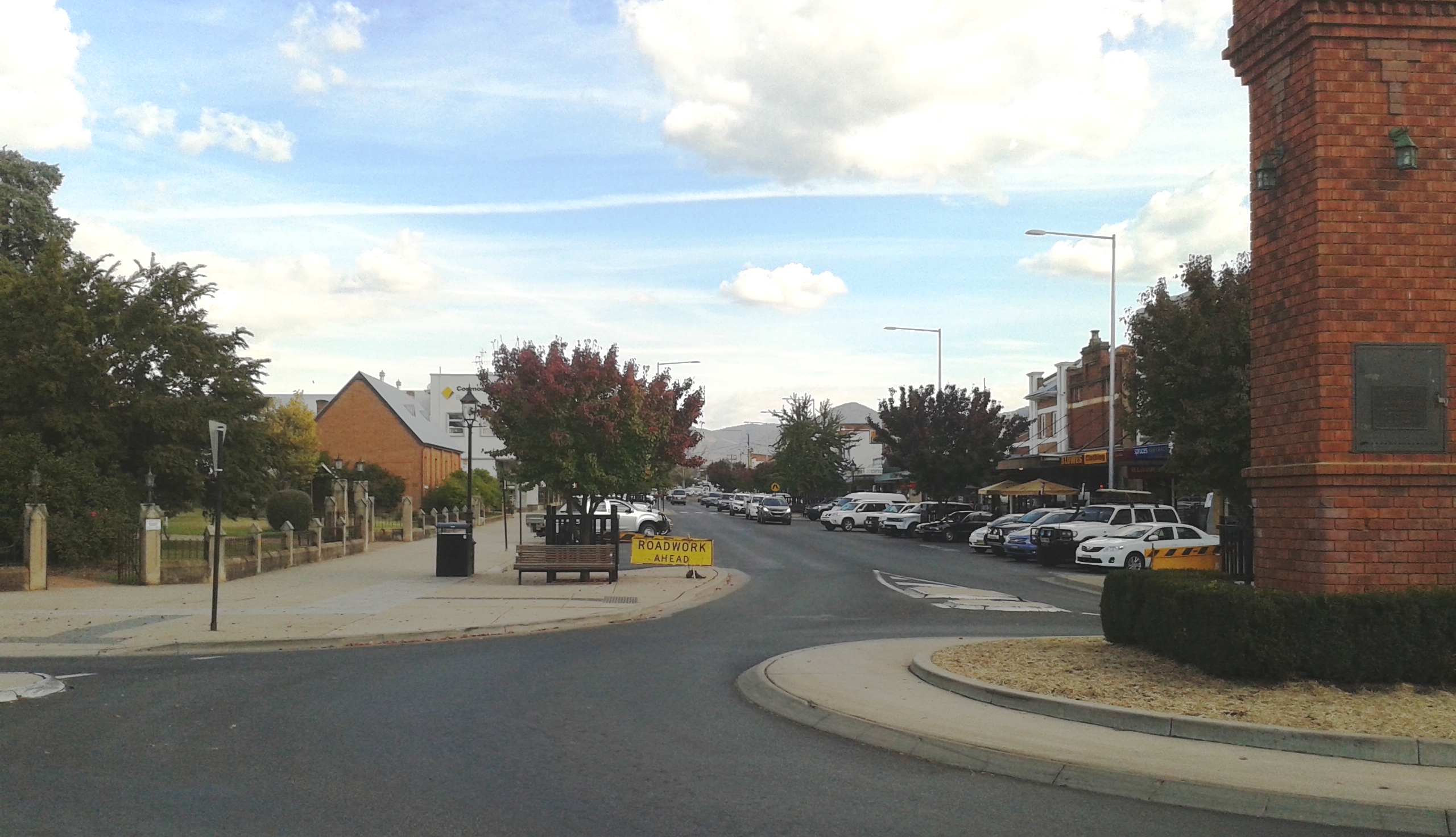
Wide Streets of Mudgee

Wide streets at Mudgee

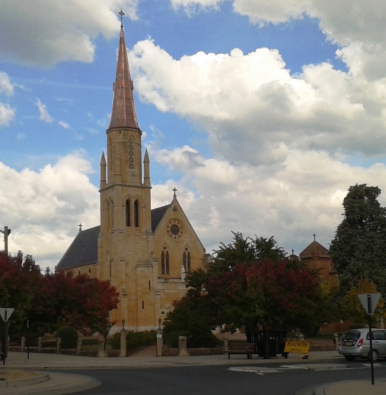
St Marys Church, Mudgee

Saint Marys Church, Mudgee

After lunch we decided to visit the neighbouring town of Gulgong. There are two main roads that link Mudgee and Gulgong. The Castlereagh Highway is a distance of 26 km and Henry Lawson Drive is 30 Km. Yes, this is Henry Lawson country. Lawson was born in Grenfell but spent a great deal of his early life in the area and in Gulgong in particular. The good folk of that town have recognised his former citizenship with a fine museum. It provides a fascinating snapshot of life in Australia in the late nineteenth and early twentieth century’s.

Henry Lawson Museum

The Henry Lawson Centre

Mudgee was built to service rural industries. Its streets are wide enough to turn a 20 animal bullock team. Gulgong is a gold rush town. It was surveyed with its streets following the tracks lined by miners’ tents and shanties. Streets are consequently narrow. In some places when cars are parked on both sides of the street the thoroughfare becomes one way at a time.

Gulgong's Narrow Streets

Narrow streets of Gulgong

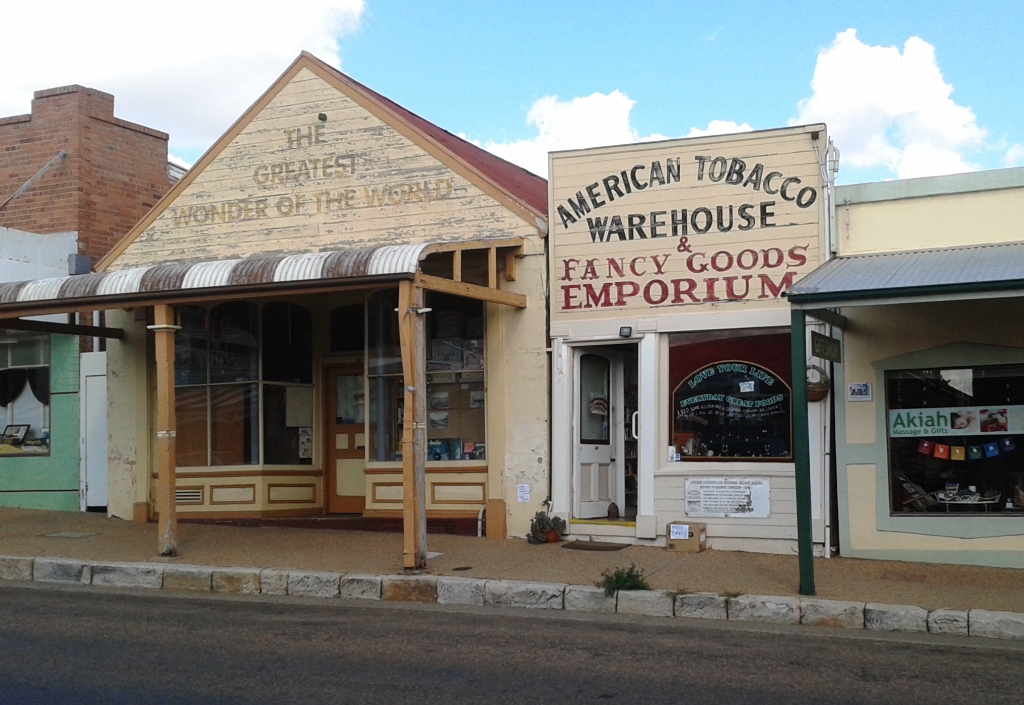
Modern business in old buildings

Modern business in historic buildings

During the 1980s it was realised that changes to Gulgong were destroying a historical treasure so restrictions were put in place. Now a modern society lives and works in a town that is over one hundred years old.

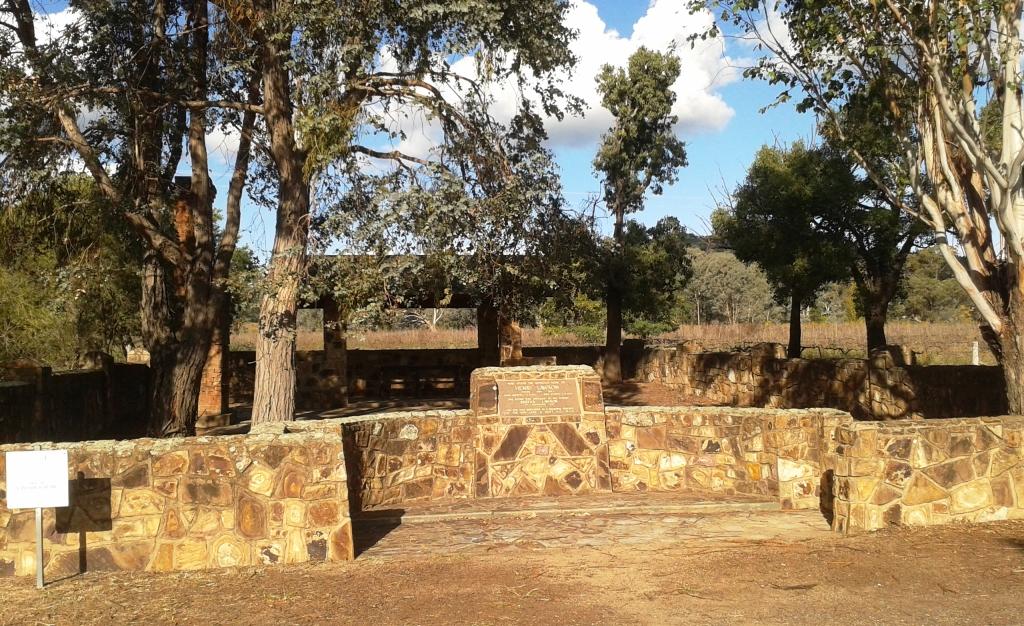
On the way back to Mudgee on Henry Lawson Drive there is a monument to Lawson, built on the site of the old family home. The fireplace still stands. History is around every corner in this area.

Lawson's childhood home memorial

The memorial on the site of the Lawson family home

A Different Way There … And Back – Post 2

Day 5 – 31st March 2013 – Charleville

At some point during the night I turned the air conditioner off and pulled up the doona. Rain had been falling all night. We awoke to a grey sky and weather reports that told us that it was 17C, half of yesterday’s temperature. Are we in Melbourne already?

We got a bit of a fright at lunch time. We turned on a second light and it came on very dimly. We then noticed that the lights had gone out on the refrigerator. Oh no! Not battery charger problems on a one year old van. Fortunately not!  On our short test trip to check on our electrics for bush camps I had to replace a fuse. To get at the fuse box I had to unplug the battery charger … and forgot to plug it back in. So we had been living on charge put into the battery when moving since we left home. The battery had been progressively discharging. All seems well now.

Intermittent rain fell all day so we stayed in the warmth of the van and read, including tourist information in our reading. The forecast for tomorrow is for fine weather, so we will check the place out.

I guess you don’t normally think of a town facing in a particular direction but Charleville definitely faces south, because that is where the tourist money comes from. North Queensland has a wet season and a dry season. Charleville has a “Grey Nomad” season and a “Rest of the Year” season. Charleville is on the main route that Victorians and South Australians take when starting out on The Big Lap (around Australia). Most lappers do the lap in an anticlockwise direction.

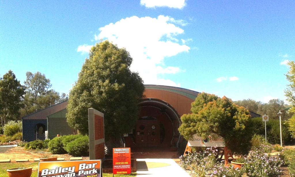
Charleville Info Centre

Charleville Information Centre

Tourist authorities have marketed the town well. The Information Centre is on the Mitchell Highway to the south of the town. Most lappers do the around Australia lap anticlockwise so will only ever approach the town from the south. Their printed material is excellent, particularly the visitors guide that they produced annually. Activities are set out in detail with times, amount of time to allow and the cost. And most things have a cost. Some have a substantial cost. Perhaps they think that grey nomads have money running out of their pockets this early in the circumnavigation.

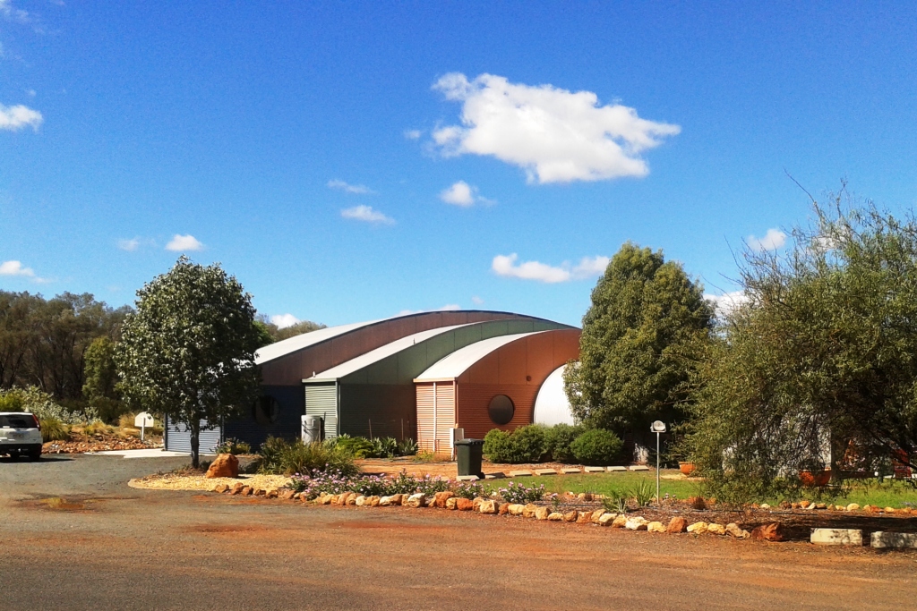
Info and Cosmos Buildings

Cosmos Centre Building

Weather permitting we will look at some of these attractions for you, and us, tomorrow.

Day 6 – 1st April, 2013 – Charleville

Yesterday’s rain was followed by a fine sunny day so, after breakfast, we set off to see the town. We started at the Information Centre, located at the southern entrance to town. It is part of the Charleville Cosmos Centre, which in turn is the jewel in Charleville’s crown. The information centre is modern, contains a very pleasant coffee shop and all the information on other relevant destinations that you could want.

The Cosmos Centre is about looking into the heavens. Charleville normally has an abundance of clear skies so is ideal for things celestial. The main event occurs at night but there are a number of simulated activities, some of them interactive, that can be used in daylight hours to cater for those who don’t get to the evening show. For those who have an interest in such matters, or first timers, it is a great opportunity see the realms beyond.

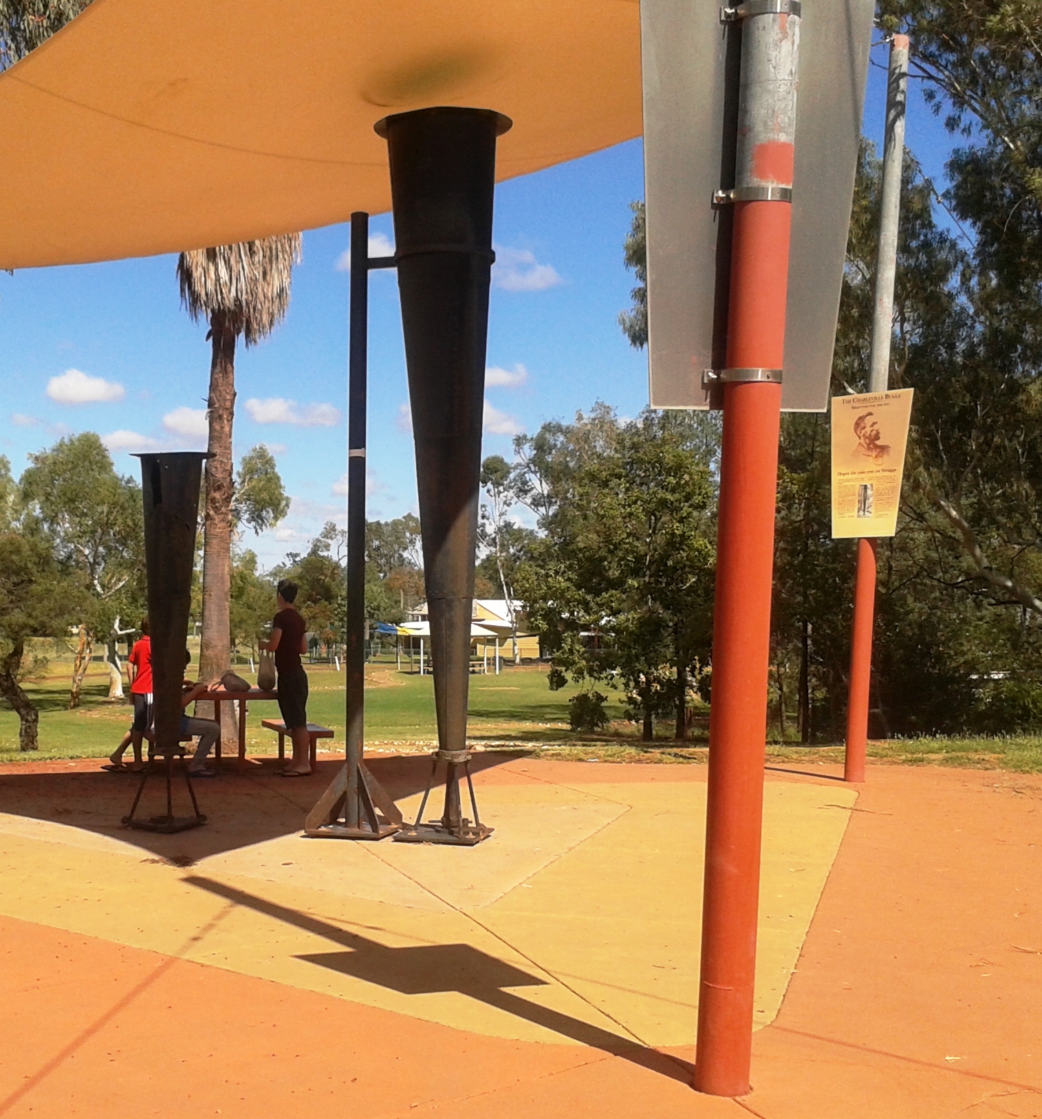
Clement Wragg's Vortex Rain Guns

Clement Wragg’s ineffective Vortex Rain Gun

From there we took a look at meteorologist Clement Wragg’s Vortex rainmaker guns that didn’t make rain and then took the Timber Walk to view samples of the trees and shrubs that grow in the area. As this was Easter Monday the town was closed but we walked the main street to get a feel for the town. All was quiet. Even the famed Hotel Corones was closed for business. The old lady is in need of much TLC but tours and after noon teas are available spasmodically now but will rev up as the southern tourists start to move through.

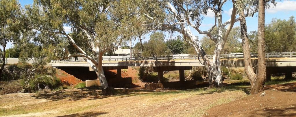
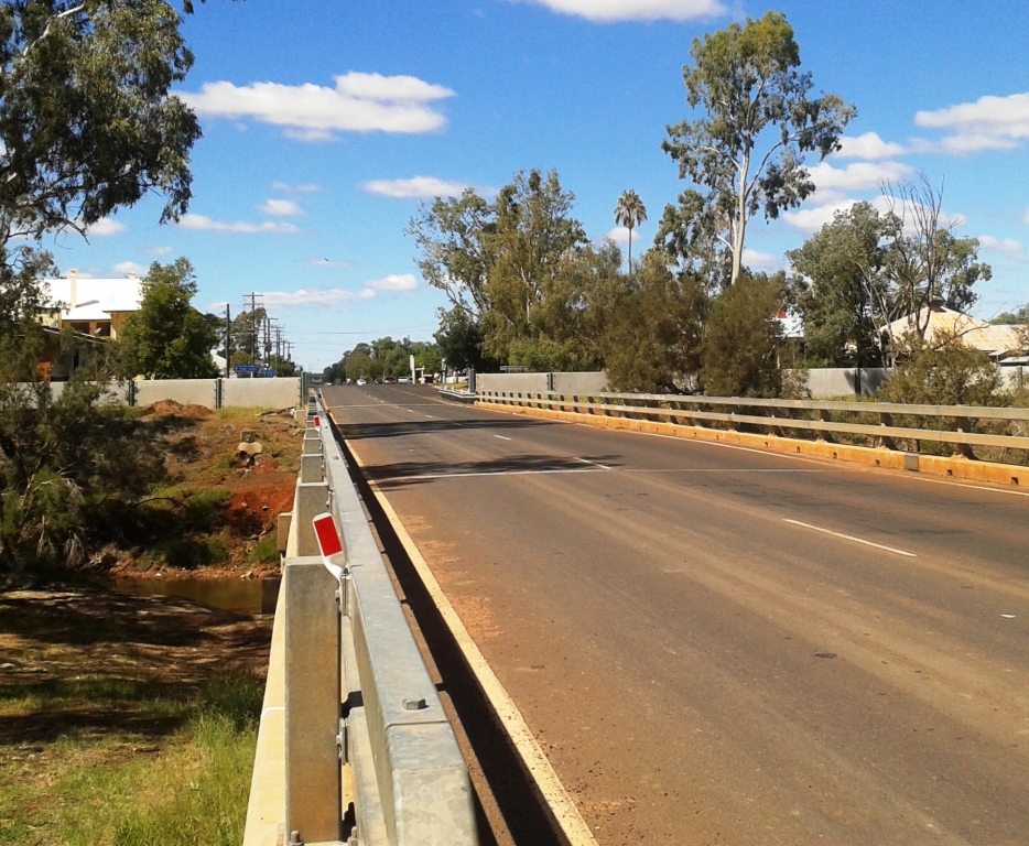
Warrego Bridge & Flood Barrier Bridge & Barrier 2

Two views of the bridge and flood barriers

Charleville floods regularly but now has a flood barrier along the banks of the Warrego River. But the town has that “what’s the use” look about it and could not be described as attractive. It is, in fact, quite down at heal.

Hotel Corones

Hotel Corones looking a little tired

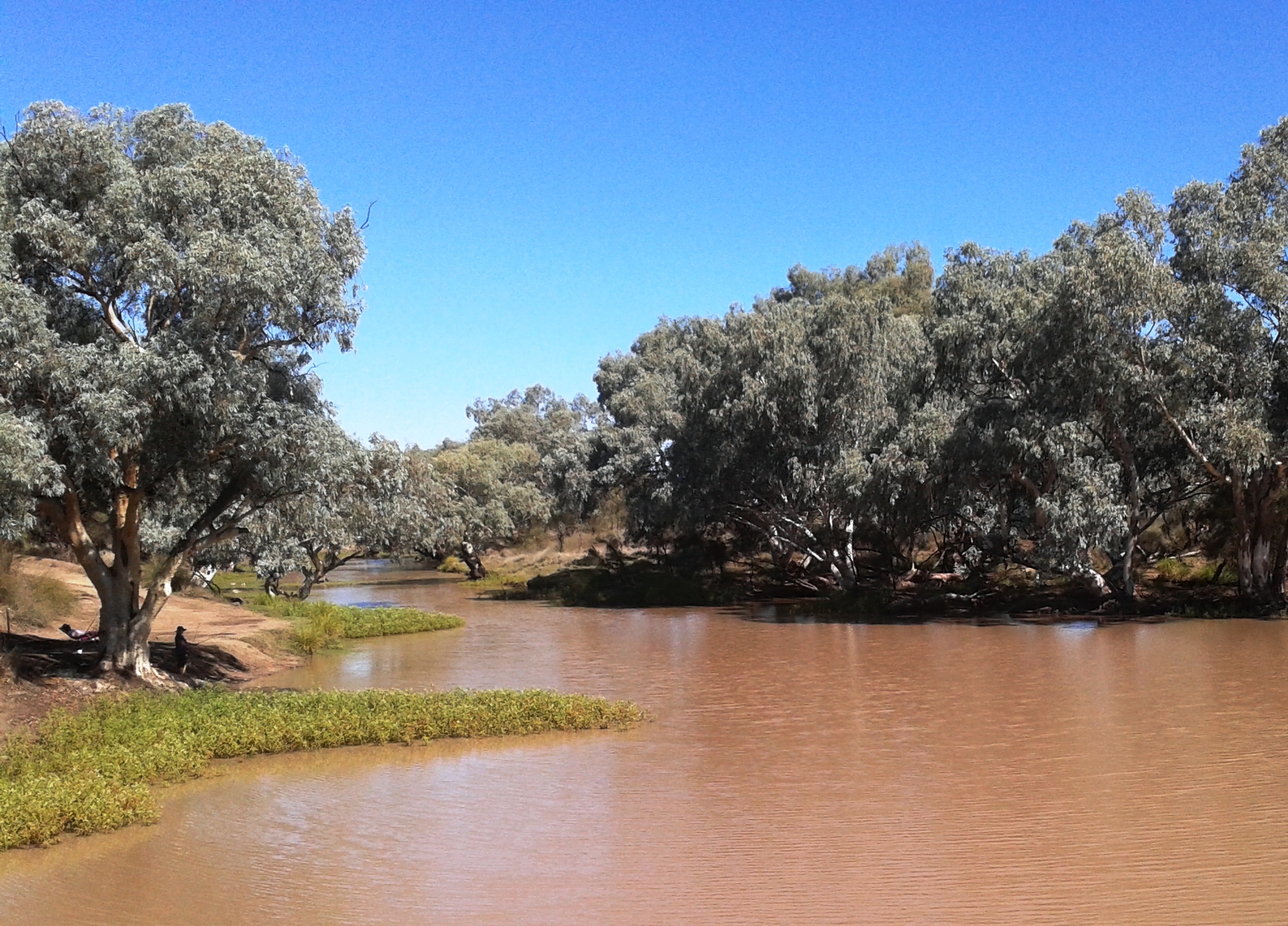
After lunch we drive 20 km out of town to look at Ward River, a local fishing location. We found a body of water larger than the Warrego with fisher folk doing their thing.

Ward River

Broad waters of Ward River

Ward River Fisher Folk

Fishing in the shade

When we came back to the park at lunch time, a sandwich board at the gate proclaimed a camp oven dinner to be available that evening, so we booked. The operators erected a marquee under which they set up metal open fire containers for cooking and ambiance. Attendees were required to bring a chair, plate, bowl and cutlery. The main meal was a large ladle of mashed potatoes covered with an even larger ladle of excellent beef stew with Johnny cakes made of damper mixture. Dessert was apple crumble with custard followed by genuine billy tea. Great meal and we met some great people.

Day 7 – 2nd April – Charleville to Mitchell – 181 km

With only about 180 km back to Mitchell we were able to make a leisurely start and cruised sedately along a road that we had almost to ourselves. The high point was refuelling at Morven.

Neil Turner Weir camp area

Neil Turner Weir camping area

We located the free camp site at Neil Turner Weir and were set up in time for lunch. About an hour later Bruce and Annie arrived. We met this couple at St George last year. They would have been in the Mount Moffatt group but they are off on a four month trip to NT and The Kimberly. We have kept in touch but our paths crossing here gave an opportunity to catch up physically. We examined their new and well fitted Isuzu D-MAX Ute, had dinner and a chat around the camp fire and turned in with almost total darkness and near complete silence. There were probably twenty or so other campers there, but they were all quite as mice.

Early Morning Departure

An early morning departure

Day 8 – 3rd April – Mitchell to St George – 283 km

Our original path from Mitchell was directly to St George but problems with the Wi-Fi function on our wireless broadband modem dictated that we return to Roma, as that is the only town in which we would find a Telstra shop. So, armed with a new 4G Wi-Fi modem that would fit in your pocket, we headed to St. George via Surat. The country is similar to that between Roma and Mitchell but flatter.

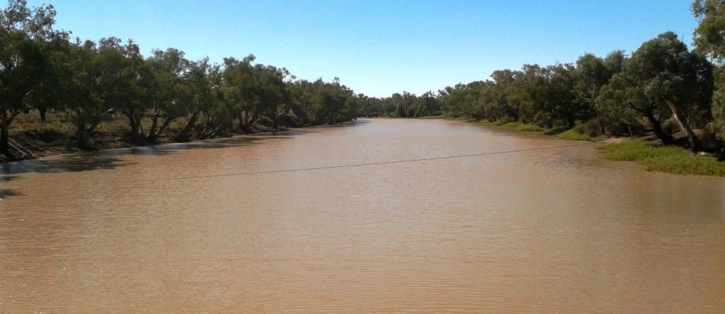
Surat, a name familiar to many from the Surat Basin gas fields, sits on the high bank of the Maranoa River from where its citizens can watch the fairly frequent floods. At the bridge plaques show photos of the river in flood with the tops of the street lights at waist height above the water.

Warrego River not in flood

An unflooded Maranoa River

We spent the night at the Pelican Rest Caravan Park at St George with not a pelican in sight.

Day 9 – 4th April – St George to Lightning Ridge – 230 km

The destination at day’s end was Lightning Ridge to call on another couple that we had met at St George last year and then called on at Lightning Ridge a few days later as we travelled south. Trevor and Margaret live near Murwillumbah in northern NSW but have a family cabin on an old opal mining lease that has been converted to a residential lease. It is in the scrub surrounded by the evidence of opal mining.

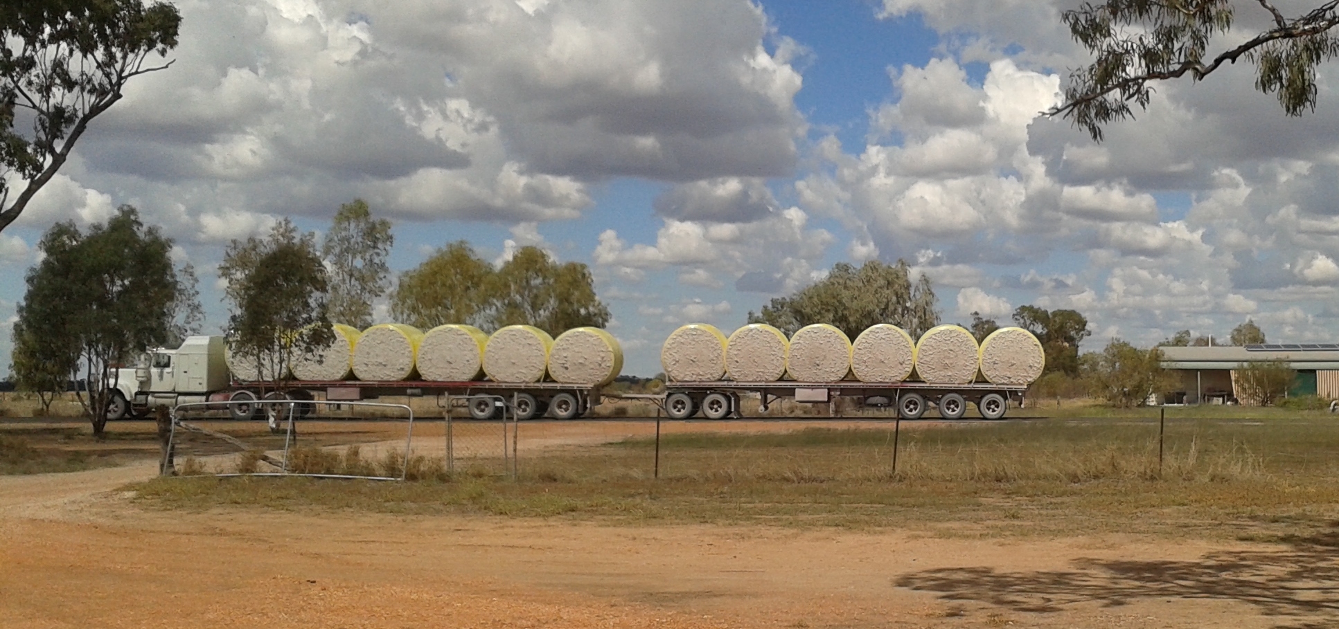
St George is Cotton Central. The harvest is in full swing and the roadside is scattered with the whisps of cotton that blow off as the journey is made to the cotton gin. Trucks like the one below are frequent company on the road.

Cotton bales

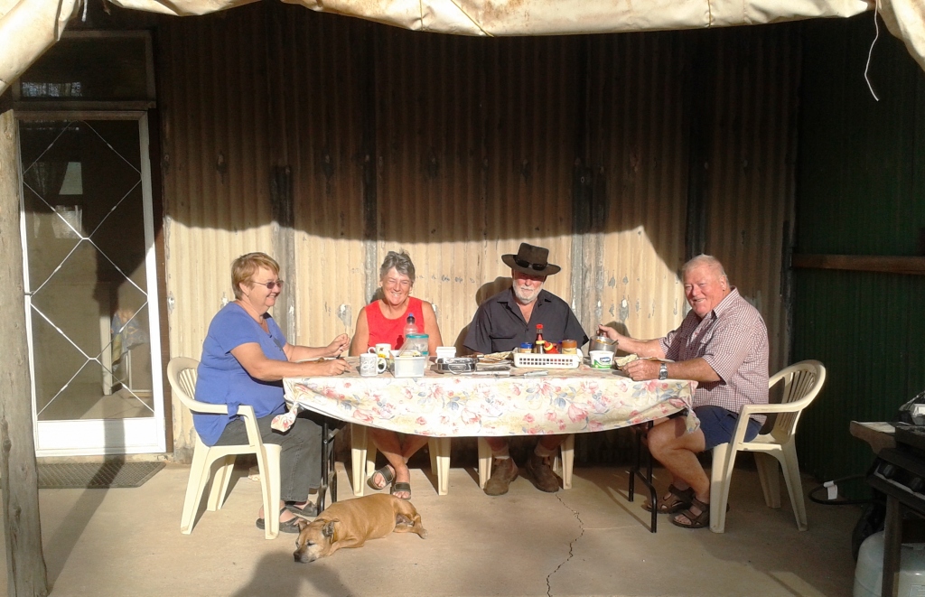
We parked our van in the yard beside their camper and that of Margaret’s brother and his wife (another Margaret) with whom they were travelling. They were only there for a few days so we were lucky that our passing through coincided with their brief stay. A bar-be-cue meal was followed by yet another talk session around a camp fire. Trevor and Margaret, together with the brother and wife, visited the most remote parts of the Kimberly last year, so there was much travel talk to be enjoyed.

Parked at Lightning Ridge

Parked at Lightning Ridge

Our hosts at breakfast

Our hosts at breakfast

Then, another very dark and quite night, but a night that seemed long to this early waking bloggist. Our crossing into NSW the day before meant that the sun did not rise until an hour later. Why can’t these people in the south keep normal time?

Day 10 – 5th April – Lightning Ridge to Dubbo – 357 Km

Today was just a straight forward run from Lightning Ridge to Dubbo. Talk about flat country! From the Central Highlands of Queensland (where we were supposed to be at Mount Moffatt) to the Great Dividing Range north of Melbourne the country hardly hosts a decent hill let alone a mountain.

Castlereagh River

A sandy Castlereagh River

From Walgett we followed the Castlereagh River through Coonamble and Gulargambone (I love that name) with the source of the river in the Warrumbungle Ranges to our left as we approached Dubbo. The Warrumbungle Ranges are quite an impressive sight up close but from a distance they appeared to be almost cowered by the vastness of the gently rising plain. The area is known as the North West Slopes and Plains. An aptly descriptive name!

In the caravan park in Dubbo they placed our modest van between two huge fifth wheelers. They must be trying to stop us getting too big for our boots!