A Different Way There …. and Back – Post 3

Days 11 & 12 – 6th & 7th April – Dubbo

We stopped over in Dubbo for three nights to see the Taronga Western Plains Zoo. We have heard good reports of it for years, and have often driven past on our way to and from Melbourne. This time we decided that we would visit it. So after attending to chores and some of the other things that keep the ship running we had lunch and drove out to the zoo. It is only a short distance from the caravan park.

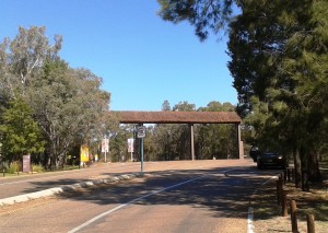
Zoo Enrty

Entry gate to Zoo precinct

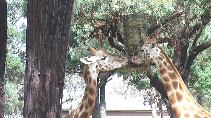
To say that the zoo has been well done is an understatement. After spending over seven hours there I can’t think of any significant improvement to the way that it has been developed. The most common way to see the exhibits is to drive around and park at each enclosure. Some walking is necessary to see all of the exhibits but most can be seen from the road. Alternatively you may hire a golf cart or a bike. Or bring your own bike, if you like.Garaffs 2

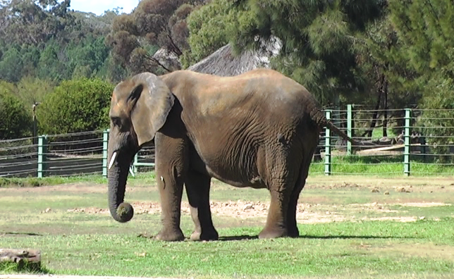
Elephant

The road traverses the park in a series of sweeping loops. This arrangement lends itself to the curved enclosures that provide a good view of animals, even when they think they are hiding. Enclosures are sunken below the road level. Fences are at the foot of mounds constructed between the road and enclosures so that when you get out of your car you ascend the small mound. The fence of the enclosure is right below you at the foot of the mound. You are not overly conscious of the animals being caged as you watch them.

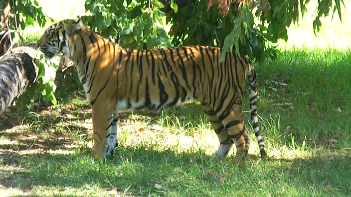
Tiger

Some enclosures have observation decks and the African Viewing Tower allows observation of several enclosures. The zoo covers 300 hectares of open-range country with exhibits built among the scattered scrubby pine trees that are native to the area. Other trees have been added as required.
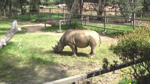
Black Rino

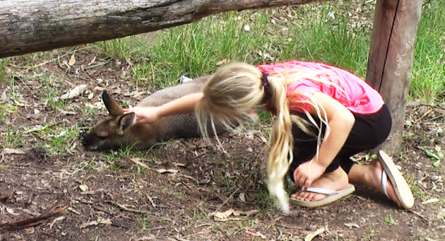
Animals are mainly from Africa and Asia but there is a good display of Australian mammals with the koala as the central exhibit. At home we have koalas in the trees over our side fence but we don’t get the views provided to visitors to the Western Plains Zoo. The wallabies in this enclosure are so tame that children, yes and this old child, were patting them.

Koala

Friendly Wallaby

We spent about two and a half hours there on Saturday and most of Sunday. The cost for an adult to gain access on two consecutive days is $44.00. Excellent value when compared to the entry fee for theme parks in the Gold Coast area.

Dubbo is a very substantial inland city with a population of more than 40,000. I don’t think I have ever seen a town with so many motels. Where do the people come from to fill them?

Day 13 – 8th April – Dubbo to Mudgee – 128 Km

Again under almost cloudless skies we set off on the short trip to Mudgee. The road leads through more grazing country but with a few more hills than we experienced in the Castlereagh valley. We passed through a couple of country towns, the most interesting of which was Goolma.

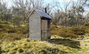
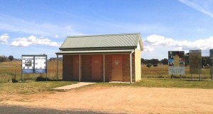
Looking for a toilet break we found a small stand alone three door structure surrounded by a number of story boards setting out a great amount of information about the attractions to be found along the route that runs from Singleton through Mudgee, Lithgow and Oberon to Canberra.  It was a great example of the kind of promotion that is helping to build tourist numbers in rural Australia.

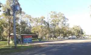
Loo with Story Boards

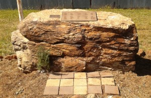
Small Town Memorial

Toilets and War Memorial at Goolma

Opposite, on the other side of the road, a small memorial to lives lost in two World wars and Vietnam has been built. The number of names from such a tiny town is surprising. I guess it is an indication of the higher density of the farm population of the era and the number of farm boys who went to the war.

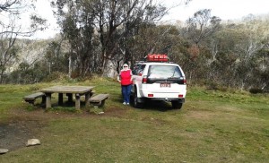
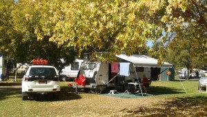
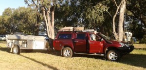
Parked under shady trees

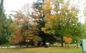
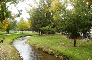
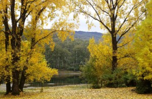
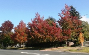
Under shady Autumn trees at Mudgee

Mudgee is trying to be a tourist town but falling at some hurdles. It is a leafy town after the style of Bright in Victoria but has some distance to go before it reaches that level of sophistication. There are lots of vineyards and as Mudgee is a reasonable week end drive from Sydney or Newcastle it is attracting the latte set in large numbers. It promotes itself as a wine and food centre but on a Monday evening when we wanted to go out to celebrate Ruth’s birthday almost nothing but pubs and clubs were open. With the weekend over most hospitality establishments were taking a couple of days, or nights, off. We did finally find a restaurant open and enjoyed a superb meal.

Day 14 – 9th April – Mudgee

We have been having trouble with fittings coming off the cables from the antenna to the TV. Some unsuccessful DIY on my part!  Last night while looking for a restaurant we saw a Jaycar shop so were on their door step first thing this morning to see if they could put more permanent fittings on. They were able to do so and the result seems to be most successful.

After a haircut (for me) and some shopping (for Ruth) we set off to look at the area, which means look at wineries. I am never enthusiastic about wine tasting when I am not interested in buying. As this was the case today it only took a pushy cellar door attendant and a bad white wine to destroy our motivation. We decided to drive around the area instead, looking at the vineyards from the road and generally getting the feel of the place. There is a great deal to see in the surrounding area. A longer visit in the future could be on the cards.

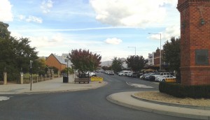
Wide Streets of Mudgee

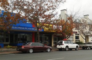
Wide streets at Mudgee

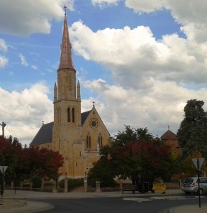
St Marys Church, Mudgee

Saint Marys Church, Mudgee

After lunch we decided to visit the neighbouring town of Gulgong. There are two main roads that link Mudgee and Gulgong. The Castlereagh Highway is a distance of 26 km and Henry Lawson Drive is 30 Km. Yes, this is Henry Lawson country. Lawson was born in Grenfell but spent a great deal of his early life in the area and in Gulgong in particular. The good folk of that town have recognised his former citizenship with a fine museum. It provides a fascinating snapshot of life in Australia in the late nineteenth and early twentieth century’s.

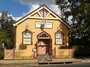
Henry Lawson Museum

The Henry Lawson Centre

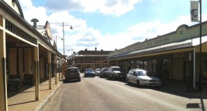
Mudgee was built to service rural industries. Its streets are wide enough to turn a 20 animal bullock team. Gulgong is a gold rush town. It was surveyed with its streets following the tracks lined by miners’ tents and shanties. Streets are consequently narrow. In some places when cars are parked on both sides of the street the thoroughfare becomes one way at a time.

Gulgong's Narrow Streets

Narrow streets of Gulgong

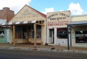
Modern business in old buildings

Modern business in historic buildings

During the 1980s it was realised that changes to Gulgong were destroying a historical treasure so restrictions were put in place. Now a modern society lives and works in a town that is over one hundred years old.

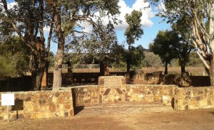
On the way back to Mudgee on Henry Lawson Drive there is a monument to Lawson, built on the site of the old family home. The fireplace still stands. History is around every corner in this area.

Lawson's childhood home memorial

The memorial on the site of the Lawson family home

A Different Way There … And Back – Post 2

Day 5 – 31st March 2013 – Charleville

At some point during the night I turned the air conditioner off and pulled up the doona. Rain had been falling all night. We awoke to a grey sky and weather reports that told us that it was 17C, half of yesterday’s temperature. Are we in Melbourne already?

We got a bit of a fright at lunch time. We turned on a second light and it came on very dimly. We then noticed that the lights had gone out on the refrigerator. Oh no! Not battery charger problems on a one year old van. Fortunately not!  On our short test trip to check on our electrics for bush camps I had to replace a fuse. To get at the fuse box I had to unplug the battery charger … and forgot to plug it back in. So we had been living on charge put into the battery when moving since we left home. The battery had been progressively discharging. All seems well now.

Intermittent rain fell all day so we stayed in the warmth of the van and read, including tourist information in our reading. The forecast for tomorrow is for fine weather, so we will check the place out.

I guess you don’t normally think of a town facing in a particular direction but Charleville definitely faces south, because that is where the tourist money comes from. North Queensland has a wet season and a dry season. Charleville has a “Grey Nomad” season and a “Rest of the Year” season. Charleville is on the main route that Victorians and South Australians take when starting out on The Big Lap (around Australia). Most lappers do the lap in an anticlockwise direction.

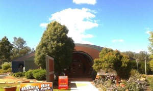
Charleville Info Centre

Charleville Information Centre

Tourist authorities have marketed the town well. The Information Centre is on the Mitchell Highway to the south of the town. Most lappers do the around Australia lap anticlockwise so will only ever approach the town from the south. Their printed material is excellent, particularly the visitors guide that they produced annually. Activities are set out in detail with times, amount of time to allow and the cost. And most things have a cost. Some have a substantial cost. Perhaps they think that grey nomads have money running out of their pockets this early in the circumnavigation.

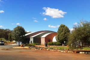
Info and Cosmos Buildings

Cosmos Centre Building

Weather permitting we will look at some of these attractions for you, and us, tomorrow.

Day 6 – 1st April, 2013 – Charleville

Yesterday’s rain was followed by a fine sunny day so, after breakfast, we set off to see the town. We started at the Information Centre, located at the southern entrance to town. It is part of the Charleville Cosmos Centre, which in turn is the jewel in Charleville’s crown. The information centre is modern, contains a very pleasant coffee shop and all the information on other relevant destinations that you could want.

The Cosmos Centre is about looking into the heavens. Charleville normally has an abundance of clear skies so is ideal for things celestial. The main event occurs at night but there are a number of simulated activities, some of them interactive, that can be used in daylight hours to cater for those who don’t get to the evening show. For those who have an interest in such matters, or first timers, it is a great opportunity see the realms beyond.

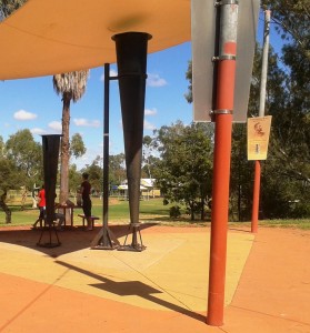
Clement Wragg's Vortex Rain Guns

Clement Wragg’s ineffective Vortex Rain Gun

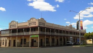
From there we took a look at meteorologist Clement Wragg’s Vortex rainmaker guns that didn’t make rain and then took the Timber Walk to view samples of the trees and shrubs that grow in the area. As this was Easter Monday the town was closed but we walked the main street to get a feel for the town. All was quiet. Even the famed Hotel Corones was closed for business. The old lady is in need of much TLC but tours and after noon teas are available spasmodically now but will rev up as the southern tourists start to move through.

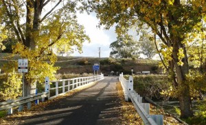
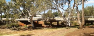
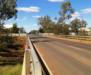
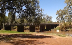
Warrego Bridge & Flood Barrier Bridge & Barrier 2

Two views of the bridge and flood barriers

Charleville floods regularly but now has a flood barrier along the banks of the Warrego River. But the town has that “what’s the use” look about it and could not be described as attractive. It is, in fact, quite down at heal.

Hotel Corones

Hotel Corones looking a little tired

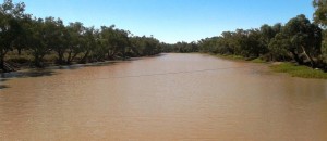
After lunch we drive 20 km out of town to look at Ward River, a local fishing location. We found a body of water larger than the Warrego with fisher folk doing their thing.

Ward River

Broad waters of Ward River

Ward River Fisher Folk

Fishing in the shade

When we came back to the park at lunch time, a sandwich board at the gate proclaimed a camp oven dinner to be available that evening, so we booked. The operators erected a marquee under which they set up metal open fire containers for cooking and ambiance. Attendees were required to bring a chair, plate, bowl and cutlery. The main meal was a large ladle of mashed potatoes covered with an even larger ladle of excellent beef stew with Johnny cakes made of damper mixture. Dessert was apple crumble with custard followed by genuine billy tea. Great meal and we met some great people.
Day 7 – 2nd April – Charleville to Mitchell – 181 km

With only about 180 km back to Mitchell we were able to make a leisurely start and cruised sedately along a road that we had almost to ourselves. The high point was refuelling at Morven.

Neil Turner Weir camp area

Neil Turner Weir camping area

We located the free camp site at Neil Turner Weir and were set up in time for lunch. About an hour later Bruce and Annie arrived. We met this couple at St George last year. They would have been in the Mount Moffatt group but they are off on a four month trip to NT and The Kimberly. We have kept in touch but our paths crossing here gave an opportunity to catch up physically. We examined their new and well fitted Isuzu D-MAX Ute, had dinner and a chat around the camp fire and turned in with almost total darkness and near complete silence. There were probably twenty or so other campers there, but they were all quite as mice.
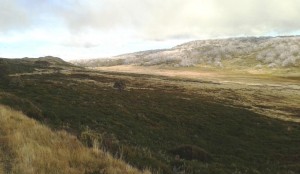
Early Morning Departure

An early morning departure

Day 8 – 3rd April – Mitchell to St George – 283 km

Our original path from Mitchell was directly to St George but problems with the Wi-Fi function on our wireless broadband modem dictated that we return to Roma, as that is the only town in which we would find a Telstra shop. So, armed with a new 4G Wi-Fi modem that would fit in your pocket, we headed to St. George via Surat. The country is similar to that between Roma and Mitchell but flatter.

Surat, a name familiar to many from the Surat Basin gas fields, sits on the high bank of the Maranoa River from where its citizens can watch the fairly frequent floods. At the bridge plaques show photos of the river in flood with the tops of the street lights at waist height above the water.

Warrego River not in flood

An unflooded Maranoa River

We spent the night at the Pelican Rest Caravan Park at St George with not a pelican in sight.

Day 9 – 4th April – St George to Lightning Ridge – 230 km

The destination at day’s end was Lightning Ridge to call on another couple that we had met at St George last year and then called on at Lightning Ridge a few days later as we travelled south. Trevor and Margaret live near Murwillumbah in northern NSW but have a family cabin on an old opal mining lease that has been converted to a residential lease. It is in the scrub surrounded by the evidence of opal mining.

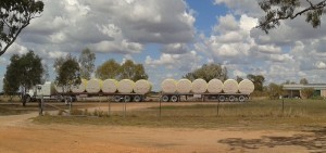
St George is Cotton Central. The harvest is in full swing and the roadside is scattered with the whisps of cotton that blow off as the journey is made to the cotton gin. Trucks like the one below are frequent company on the road.

Cotton bales

We parked our van in the yard beside their camper and that of Margaret’s brother and his wife (another Margaret) with whom they were travelling. They were only there for a few days so we were lucky that our passing through coincided with their brief stay. A bar-be-cue meal was followed by yet another talk session around a camp fire. Trevor and Margaret, together with the brother and wife, visited the most remote parts of the Kimberly last year, so there was much travel talk to be enjoyed.
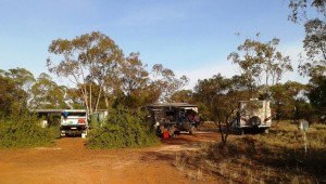
Parked at Lightning Ridge

Parked at Lightning Ridge

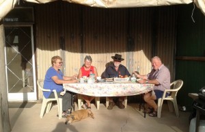
Our hosts at breakfast

Our hosts at breakfast

Then, another very dark and quite night, but a night that seemed long to this early waking bloggist. Our crossing into NSW the day before meant that the sun did not rise until an hour later. Why can’t these people in the south keep normal time?

Day 10 – 5th April – Lightning Ridge to Dubbo – 357 Km

Today was just a straight forward run from Lightning Ridge to Dubbo. Talk about flat country! From the Central Highlands of Queensland (where we were supposed to be at Mount Moffatt) to the Great Dividing Range north of Melbourne the country hardly hosts a decent hill let alone a mountain.

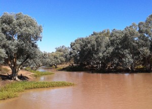
Castlereagh River

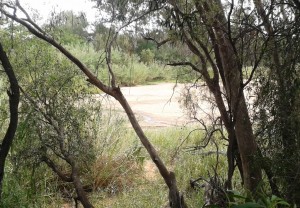
A sandy Castlereagh River

From Walgett we followed the Castlereagh River through Coonamble and Gulargambone (I love that name) with the source of the river in the Warrumbungle Ranges to our left as we approached Dubbo. The Warrumbungle Ranges are quite an impressive sight up close but from a distance they appeared to be almost cowered by the vastness of the gently rising plain. The area is known as the North West Slopes and Plains. An aptly descriptive name!

In the caravan park in Dubbo they placed our modest van between two huge fifth wheelers. They must be trying to stop us getting too big for our boots!

A Different Way There …. and Back – Post 1


Day 1 – 27th March – Home to Bell – 234 km

The early part of our trip has changed. Our visit to the Mount Moffatt section of the Carnarvon Gorge National Park has been cancelled. There has been constant wet weather across the Central Highlands of Queensland to the extent that a number of features in the park have been closed. Because of this  a number of participants pulled out. We were still going in company with the organiser until his wife, who suffers from MS, had a relapse and was ordered by her specialist to rest. So we have called the Mount Moffatt visit off for the time being.
That left us all dressed up with nowhere to go! As we had an arrangement to meet friends at Mitchell we decided to fill in the time exploring the Warrego Highway from Dalby to Charleville.

Ready for the road

Ready for the road

We expected to get away from home by late morning but finally rolled out the gate at a few minutes past 1.00 pm. We took our normal route when heading west – north to Caboolture and then follow the Daguilar Highway to Yarraman where it meets the New England Highway. There we turn south and then south west to Dalby. This time we turned north before reaching Dalby and came to the small town of Bell on the Bunya Highway about 40 km north of Dalby.

Bell CP 1

The amenities block was almost our en suite

Bell is a quiet country town on the Darling Downs. It contains some historic buildings which we will check tomorrow morning. We are resident in the Bell N Whistle Caravan Park. Except for a hand full of permanents we were the only guests. The northern migration of Victorians clearly has not started yet.

Bell CP 2

Perhaps this is the train from which the caravan park got its name

The rain has missed us so far. A storm passed ahead of us near Cooyar but we enjoyed a rainless evening, sitting out until after a very red sun disappeared over the distant, rather flat horizon.

Day 2 – 28th March – Bell to Roma – 307 km

It is normally an easy start when you have been on a drive through site. We did a small tour of Bell before leaving, to get some photos, but then encountered an unexpected problem. The still or image facility on my video camera that I use for most of my still shots that had worked at the caravan park refused duty when I attempted to take photos in the town. So for the time being I am using the camera on my phone or shooting short bursts of video from which I can cut still pictures.

Pictures taken (but later lost. My fault) we journeyed to Roma, refuelled both the car and ourselves and proceeded north west on the Warrego Highway; first stop Chinchilla for some last minute items before shops closed for Easter. Shopping completed we drove out of town for lunch at Chinchilla Weir, before moving on. I lost the pictures of that, too.

We have been hearing about the frantic mining activity on the Darling Downs, but as soon as we reached Dalby we could see the evidence. The highway to Roma is not much different to coastal highways in traffic density. Endless strings of vehicles including many very big trucks. The commercial centre of Chinchilla, which has a Woolworths supermarket, and a McDonalds, was almost like a city mall on Christmas Eve. We were glad to escape back to the relative calm of the busy highway.

We made a stop at Miles to see the well publicised and historic Pioneer Village. A bit pricey at $12 each to see it, but it has been very well done with authentic buildings brought in from their original locations. The buildings are well set up with all the things that I remember from my childhood. It is sobering to realise that your own early years actually reach back into “history”.

Miles Village 5

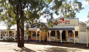
Village street scape

Miles Village 2

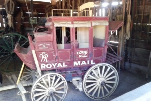
Half size model of Cobb & Co coach

Miles Village 4

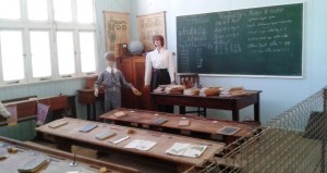
I started my education in a school like this one

Miles Village 3

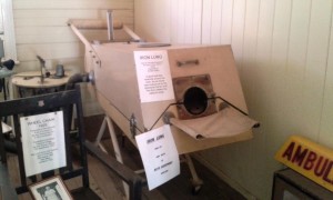
Have you ever heard the expression “Wouldn’t work in an Iron Lung”?

We would have spent the night at Miles but the two caravan parks have beeen converted almost entirely to cabins to capitalise on accommodation requirements for the mining boom. They both looked like building sites, which is what they were. So we phoned ahead to Roma and booked a site. We found later that we had got one of the last available in town. There is a major festival held there over Easter which includes a race meeting and many other activities, so all accommodation is booked out.

Tomorrow we will move on to Mitchell. Roma was only a short stop for fuel on the original itinerary as it is from here that we were to turn north to Injune and then Mount Moffatt, so the activities here would not have impacted us.

Day 3 – 29th March – Roma to Mitchell – 88 km

The cool nights of the west make for good sleeping. We had early morning coffee under the awning. The sun was about to rise, a pale full moon hung in the western sky just above a newly launched hot air balloon that drifted along the horizon. Just part of the rewards of early rising! But I lost those pictures as well.

We have been to Roma before. There was a great deal of evidence of the oil and gas industries when we were here in 2008 but there is a lot more now. The streets of this substantial town are crowded with mining vehicles and equipment in transit to mine sites. Trucks, including road trains, rumble through at all hours.

We called in at the information centre at the Big Rig where there is an exhibition if the petroleum industry and where a light show telling the story of local oil recovery is held most nights. After collecting some information we joined the queue of motorists at the Woolworths service station who, like us, were claiming their discount dockets and then probably joined some of them on the road to Mitchell. We were part of an extended procession of utilities and 4WDs packed with camping equipment some towing trailers with bush bikes, others towing horse floats and the inevitable camper trailers and caravans.

New bridge on the Maranoa River

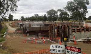
Mitchell is getting a new bridge across the Maranoa River

The Major Mitchell Caravan Park is on the banks of the Maranoa River opposite the town. Our site was on the river bank on grass. We had a very quiet afternoon, reading and doing odd bits and pieces. Mitchell is known for its mineral baths and we had intended to visit them but in deference to Easter, or to a day off, they were closed. Maybe next time!

Mitchell CP

Settled in at the Major Mitchell Caravan Park

A relatively quiet evening at Mitchell!  At a van just across from us a “would be” country and western singer and friends entertained us for two hours or more. They packed up at about 8.45 pm so did not encroach on our slumbers.

Mitchell main street looking west

Looking west down MItchell’s main street

Day 4 – 30th March – Mitchell to Charleville – 181 km

The 180 km to Charleville follows the Warrego Highway to the Warrego River which flows through the town and frequently floods it. The terrain is mostly open farm lands with some agriculture but mostly grazing lands.  In times past it was Merino sheep territory but is now mostly beef, although there is a thriving export goat meat industry in the area. Many of the road trains were returning empty from moving cattle to somewhere. There is plenty of green grass but an acute shortage of drinking water for cattle due to recent lack of rain.

Morning Tea at Morven

Morning tea at Morven

The road also passes through some bush land made up mainly of the kind of scrubby growth that is common in western Queensland.

We were met at Charleville by temperatures in the low 30s with high humidity. A storm is due through tonight or early tomorrow, so there probably will be no relief until then. Unfortunately the air conditioning in the van is not as efficient as the unit at home.

In The Shadow of Mount Warning

We have friends who regularly spend time in their caravan at Kingscliff on the Tweed Coast. We often spend a few days with them, during their stay, normally straight down and back for a few days, but in November last year (2012) we decided to go the long way.

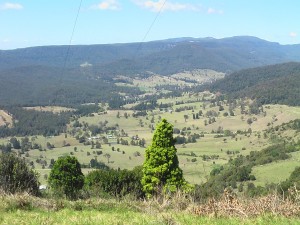
A few weeks earlier we did a day trip to Lamington National Park and on the way stopped for morning tea at a lookout with great views to the Numinbah Valley.

IMGA0674

Numinbah Valley from Rosins Lookout

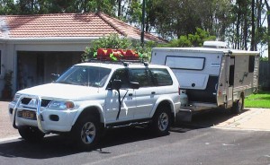
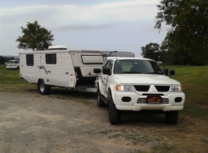
We were reminded that it had been many years since we had driven the Numinbah Valley and decided that we should do so. So, why not go first to the Mount Warning area and then on to Kingscliff. An additional reason for going this way was that we had not done much hilly country since we changed to a Mitsubishi Challenger as a tow vehicle. On the Numinbah Road we could give it a bit of a work out.

Challanger & Coromal

Challenger & Van

We left the Gold Coast Highway at Nerang and headed for Advancetown and then turned south towards the border with NSW. Just past Advancetown a left hand diversion leads to the recently extended Hinze Dam. We did not take the diversion on this occasion as we had visited on the return trip from Lamington. Suffice to say that it is worth a visit if you are spending time in the Gold Coast region.

Our first objective was Natural Bridge which is just north of the border and a short drive from the main road. The drive through the Numinbah Valley follows the Nerang River for a substantial part of the journey. While bush land is always in sight the road is bordered by farm land for much of the drive.

Natural Bridge

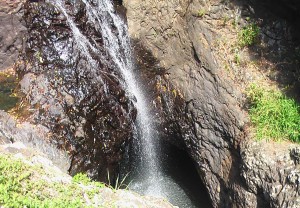
Falls at Natural Bridge

Natural Bridge has changed since we were there with developed timber decked walk ways, and a good amenities area, near the spacious car park. To see Natural Bridge at its best it is necessary to descend fairly long flights of stairs. But the day was warm and we seemed to be feeling our age a bit so we were content to explore the creek above the bridge and to look down into the area where water gushes when there is sufficient to actually gush. No gushing that day, sad to say. Just a steady stream of water over the falls.

After lunching at the car park we continued south, covering the last bit of road that lies within Queensland. The border is at the top of a hill. On the NSW side the terrain falls away sharply and is probably the most spectacular entry that you can make from Queensland into NSW. The view of the Tweed Coast and hinterland is excellent and worth stopping for, but if you are towing a van, as we were, you need to plan ahead. It is probably best to stop in Queensland and walk up through the border crossing to take photos.

While Queensland owns the Numinbah Valley, NSW owns Numinbah township and you pass through it as you ease down the steep gradient towards the Tweed Valley. Second gear with a regular touch of the breaks to maintain a suitable speed saw us safely down. As we had encountered some decent up grades earlier we felt we had a good feel for performance by the Challenger in the hills. Not brilliant, but adequate.

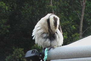
We had booked for two nights at the Mount Warning Caravan Park which is on Mount Warning Road into which we turned shortly before we would have reached Uki. The park was a pleasant surprise. The original park area is fairly heavily populated with permanents. There are also cabins in the older area. But an extension to the park, which seems to be on reserve land,  was exclusively for tourists. Pets are not permitted so the wild life is friendly.

IMGA0711

Friendly Wild Life

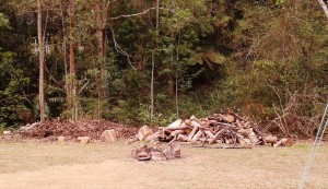
Fire place and wood supply.

Wood ready to go!

You cross a small stream to access this part of the park. On the left is the unpowered camping area and to the right are located the powered sites. The area is grassed. At intervals there are power stands, each containing four power points and four TV cable points. Vans group in fours with a bit of space between groups. Each group has at least one fire ring. The bonus was several piles of fire wood obviously cut from fallen trees but sufficiently dry to burn.

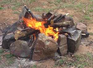
Comforting Fire

Next time we will bring a camp oven!

During my teenage years my father was a timber getter. During school holidays I would accompany him to his work site where one of my jobs was to boil the billy, at least three times a day. Not expecting fire facilities we had no matches or newspaper, but three sheets of paper hand towel, dry leaves and twigs and with one more sheet of twisted paper towel to convey a flame from the gas stove to the fire place and in no time at all we had a successful fire, before which we sat to have our dinner.

But you can’t keep a good camp fire to yourselves, so we invited a couple from a Maui motor home to join us. They were Austrians who had come on holiday to Australia because the recent eclipse of the sun was to occur on the man’s birthday. They were on their way to Cairns for the event. Discussions about the current situation in Europe were also part of the night’s entertainment. Very interesting and informative!

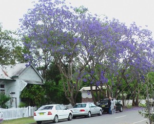
Jackarandas at Tyalgum

Jacaranda in Tyalgum main street.

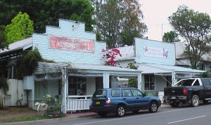
When we are in the Murwillumbah area we try to visit the small town of Tyalgum. As some of you will know, Ruth’s mother died when she and her siblings were relatively young. To avoid splitting up the family an elderly single lady who owned and operated the bakery at Tyalgum sold up and moved to Sydney to house keep, thus becoming something of a surrogate mother to the family. So imagine Ruth’s delight when we discovered that the coffee shop where we had stopped for afternoon tea is operated in part in the old Tyalgum bakery. It was almost like coming home.

Bakery was the right hand building

The old bakery is the building on the right.

Afternoon tea at Tyalgum

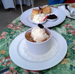
Afternoon tea.

To round the day out we drove up to the Mount Warning car park, greatly enjoying glimpses of the magnificent mountain peak and the rain forest greenery that decorates the sides of the road side stream.

Mt Warning thru power lines

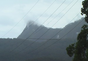
Mount Warning viewed from near Tyalgum

We didn’t visit Uki this time, although it is a good spot for a cup of coffee and a look around, if you have some spare time while staying in the Tweed or southern Gold Coast area. Instead we packed and moved on to catch up with our friends at Kingscliff.