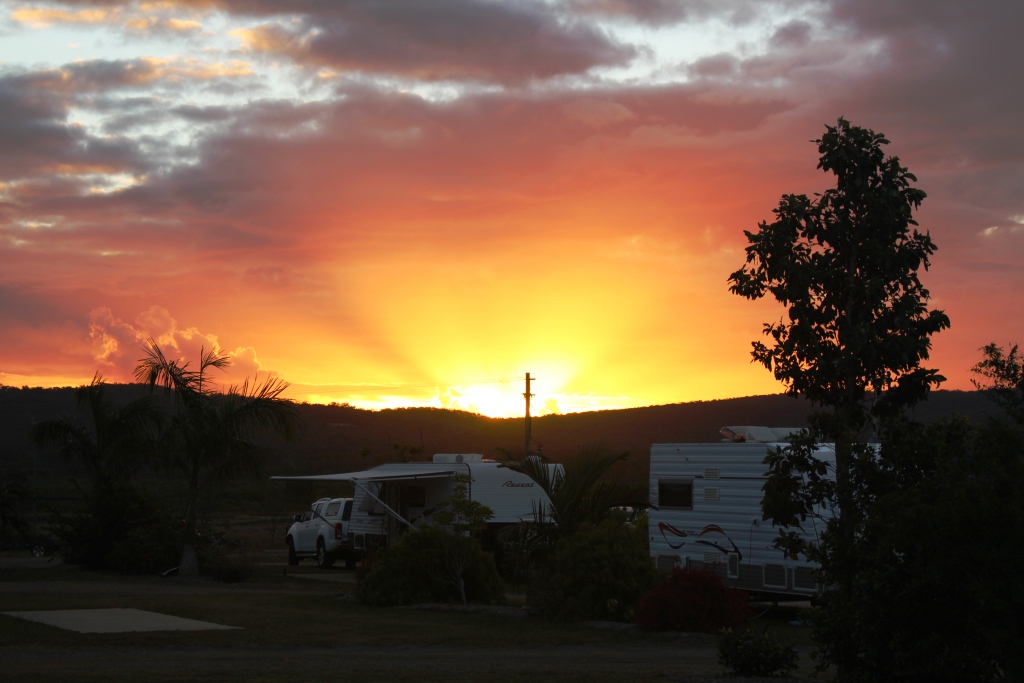
Lovely sunset. We had hardly seen a cloud in six weeks
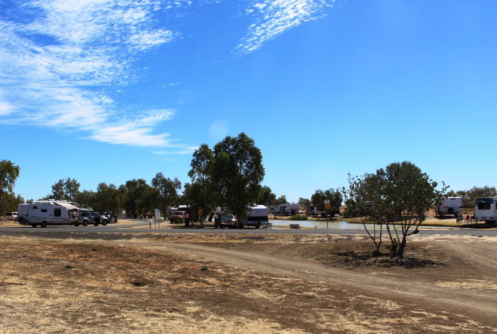
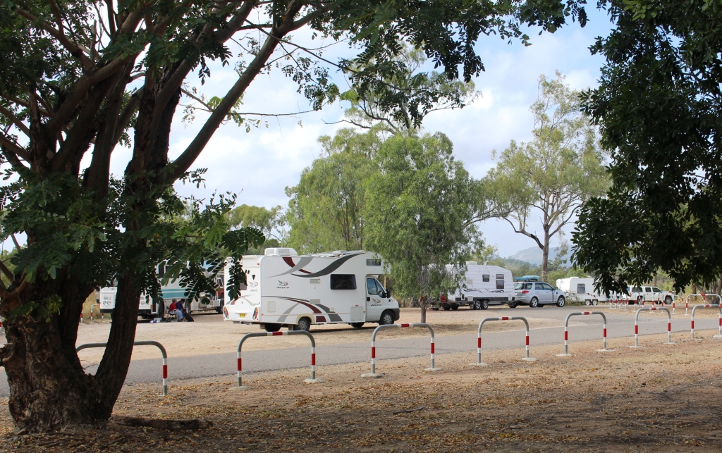
The caravan park south of Sarina, at which we stayed for four nights, is the Cape Palmerston Holiday Park. It is named for its proximity to Cape Palmerston and the Cape Palmerston National Park. The National Park is just a few kilometres to the north.
We were not the first on the beach that day
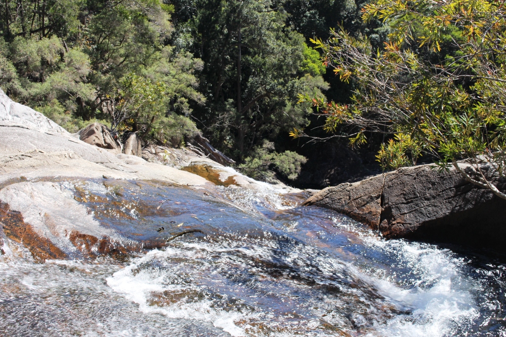
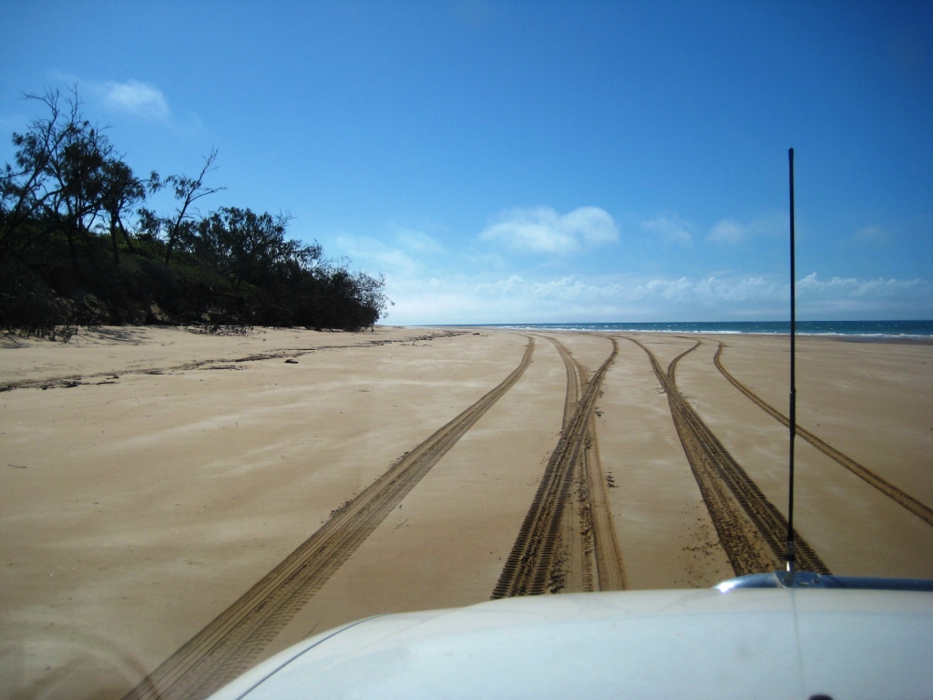
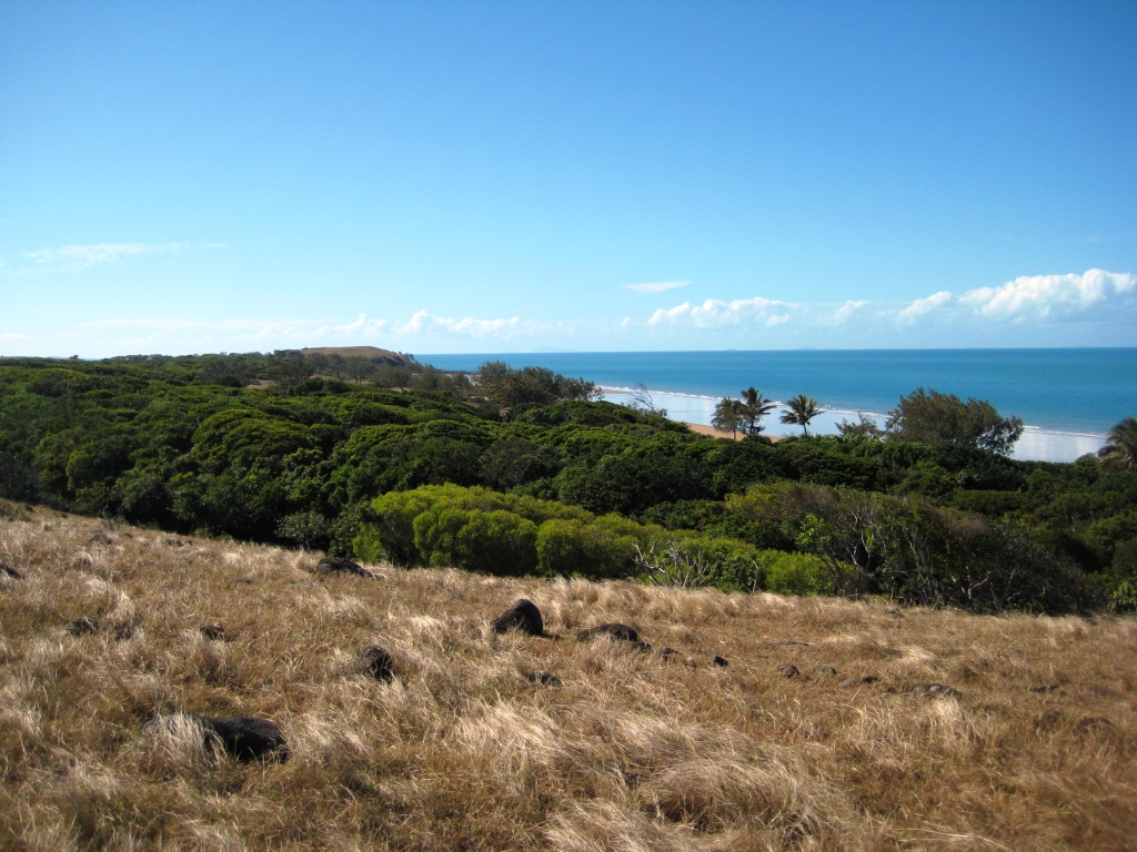
After vegetating for a day, we decided some activity was in order, so we packed a picnic lunch and headed off for the National Park. The initial road was of good quality but once past the park boundary it rapidly deteriorated. There was no improvement until we reached the beach, after which, for the next 8 km, we were on a veritable highway. The ramp to the beach was solid gravel and the beach was wide and flat with only a few soft places. The sky was near to cloudless and a slight breeze blew. And we had it all to ourselves.
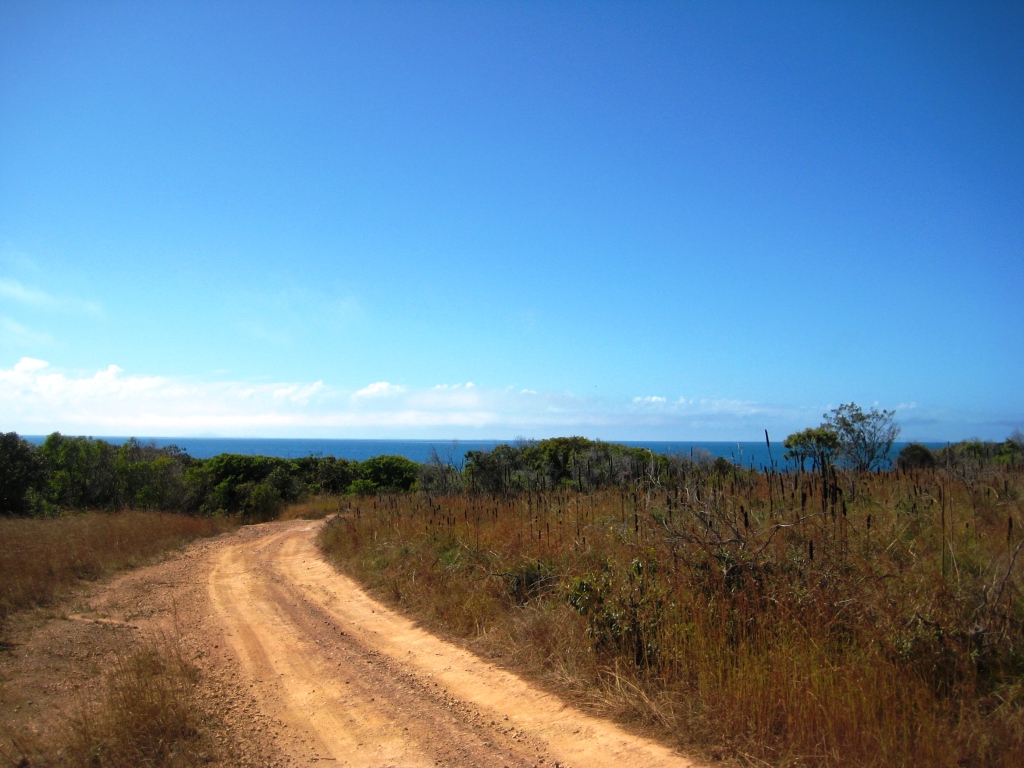
The road emerged from the bush to present this view
The satin ride was short lived. Another gravel ramp lead us to a 4wd track that has probably not seen a piece of maintenance equipment since the mounds were made to stop rain water washing the road away. We made our way carefully over the heavily rutted track, taking considerable pains to place the wheels so as to minimise tyre damage and to not scrape any of the components under the car on high spots on the road. There is good reason for classifying these roads as high clearance only.
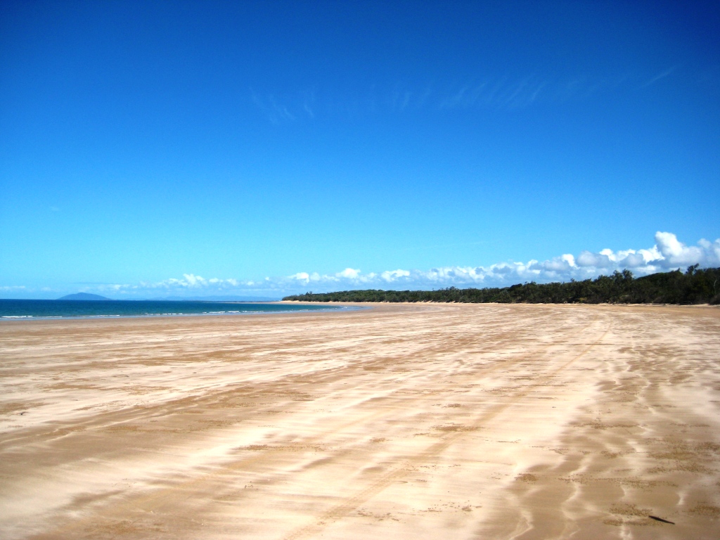
Lots of space on this beach
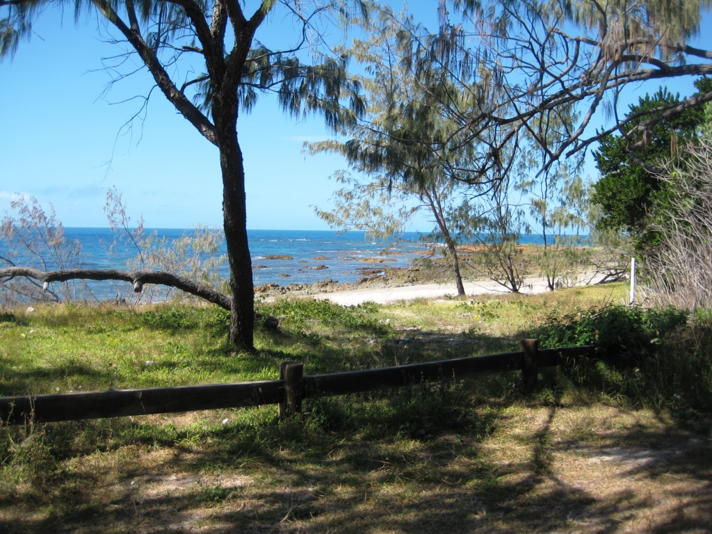
The road winds up from the beach, over higher country with broad views of ocean and islands and back to the beach again at the site of the first camping area. This idyllic spot is only a clear grassed area, its extent marked by scrub on three sides and a low single rail fence along the beach. But it has its own crescent beach and even a launching ramp over the beach, in case you brought your own boat. And it has a toilet.
There was some time to go before lunch could respectably be eaten so we decided to press on further north towards Cape Palmerston. The track did not improve and we were most conscious that every torturous meter forward meant an extra torturous meter back. After about another
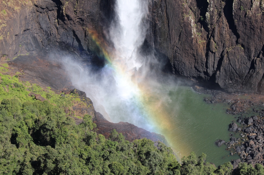
Our lunch time view
kilometer we reached a fork in the road that was not on the map. Rather than chase wild geese we returned to the camping area and enjoyed our lunch of fresh prawn sandwiches with hot coffee. A prawn farm is located next door to the caravan park which enables management to offer large king prawns to their guests at attractive prices. Yum!
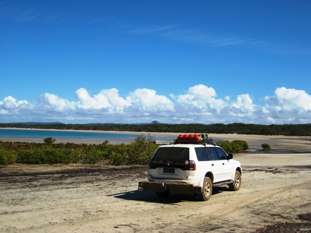
Ready ti drive down the beach
Lunch over, we made our way back the way we had come, down the rough track and along the beach. The tide was well down by now. The tidal range was about 5 meters so 3 hours of ebb tide took the water’s edge a long way down the flat beach.
There was still quite a bit of the day left so we drove through the collection of sea side houses know as Greenhill to see what was there. There were only houses. There is no commercial activity at all. We then retraced our steps a little to drive to Notch Point, the northern protrusion on a promontory that forms the northern extent of a shallow sandy bay not far south of the caravan park.

I think this is called getting away from it all
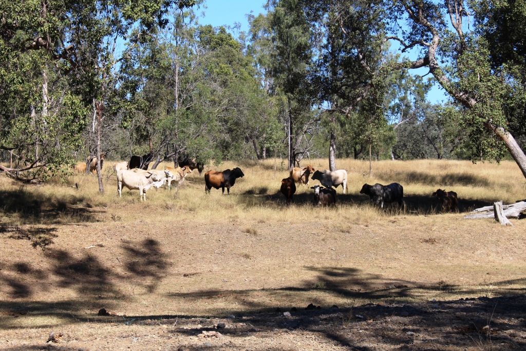
We passed sugar cane fields with the harvest in full swing and some operating aquaculture ventures, probably prawns, and a new facility under construction, before making our way along a rough sandy track to a camping area, totally devoid of creature comforts, but a place of great natural beauty. And probably great fishing as well because fishing is the attraction, not the scenery.
You won’t be shot here but perhaps you could be taken by a croc
But dangerous territory, apparently! To the side of the road towards the water were signs warning of crocodiles and on the landward side, inside a fence that followed the road, signs warning trespassers that they would be prosecuted and their dogs shot.

The view to the south across the bay
Despite these warnings there were the expected tents and camper trailers and some surprisingly large caravans that would have required considerable patience to tow along such a track. On our way out we met a man on foot. We chatted and found that he was another large caravan owner determining if he could get his van in. Someone back along the road somewhere had told him that it was not a place to be missed. His car and van were blocking the road so we “went bush”, as you do under such circumstances, to get around him.
Our next move was to Gladstone to visit Beautiful Betsy. Who, I hear you say?
We had an audience for morning tea
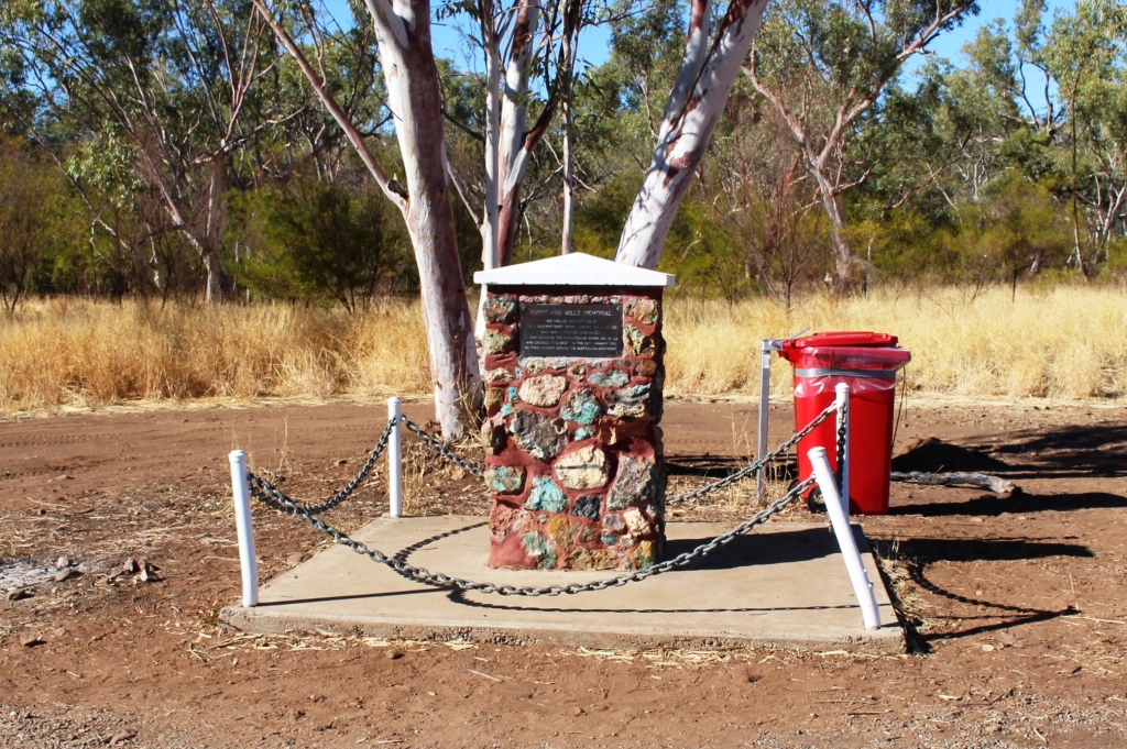
Beautiful Betsy was a USA Liberator bomber that went missing in February 1945 on a flight from Darwin to Brisbane. She was discovered 49 years later, crashed, on the western end of Kroombit Tops, south west of Gladstone. The crash site is now in the Kroombit Tops National Park in a special remembrance area dedicated to the memory of the eight crew who perished with her. She was named for the wife of her first pilot.

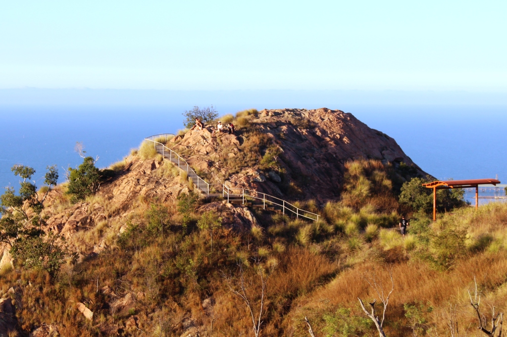
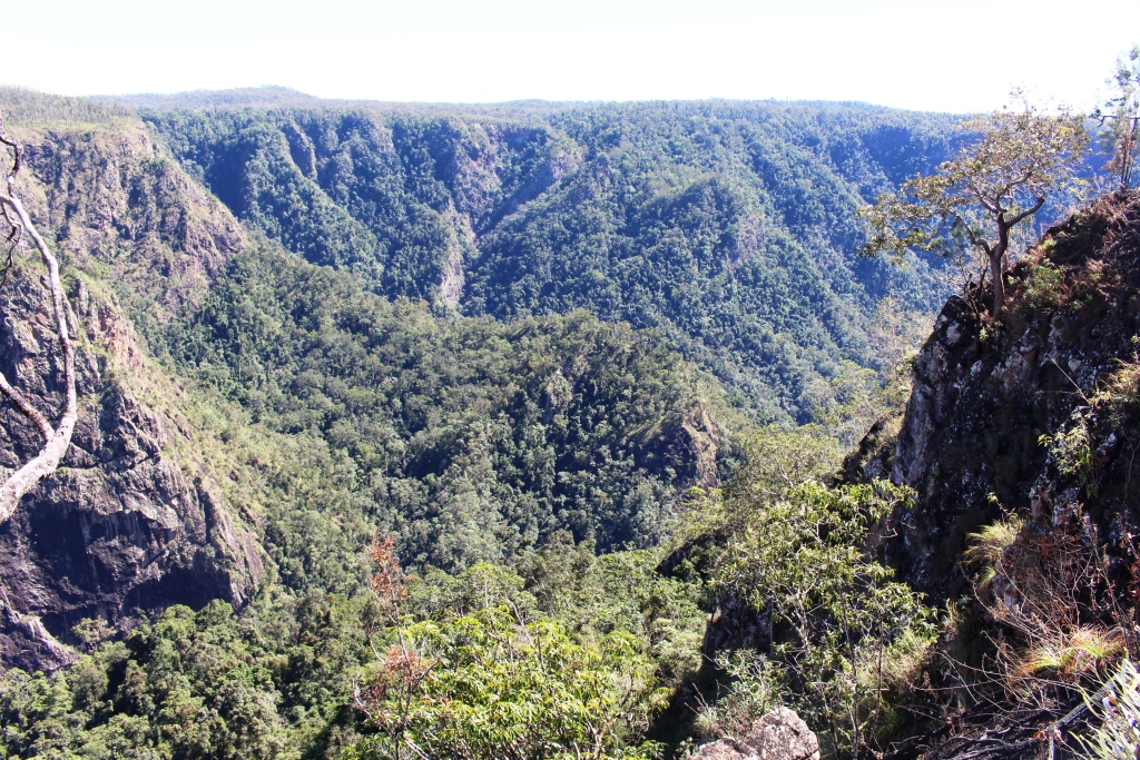
Looking over the plateau to Kroombit Tops
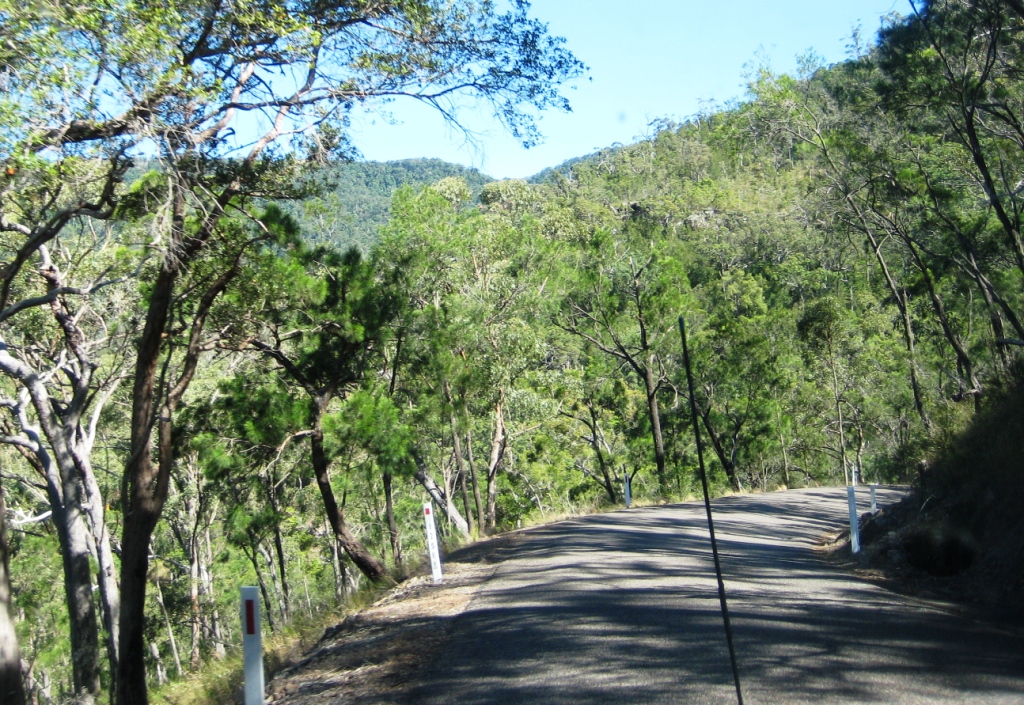
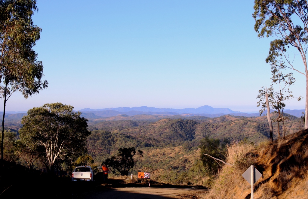
Kroombit Tops is worth a visit, even without Betsy. It rises almost one thousand metres above the coastal plain and provides great views of the coast and the Boyne Valley from the viewing platform on its eastern side. The road from Calliope is categorised as suitable for conventional vehicles. The road up the escarpment is steep and winding but it is sealed. For most of
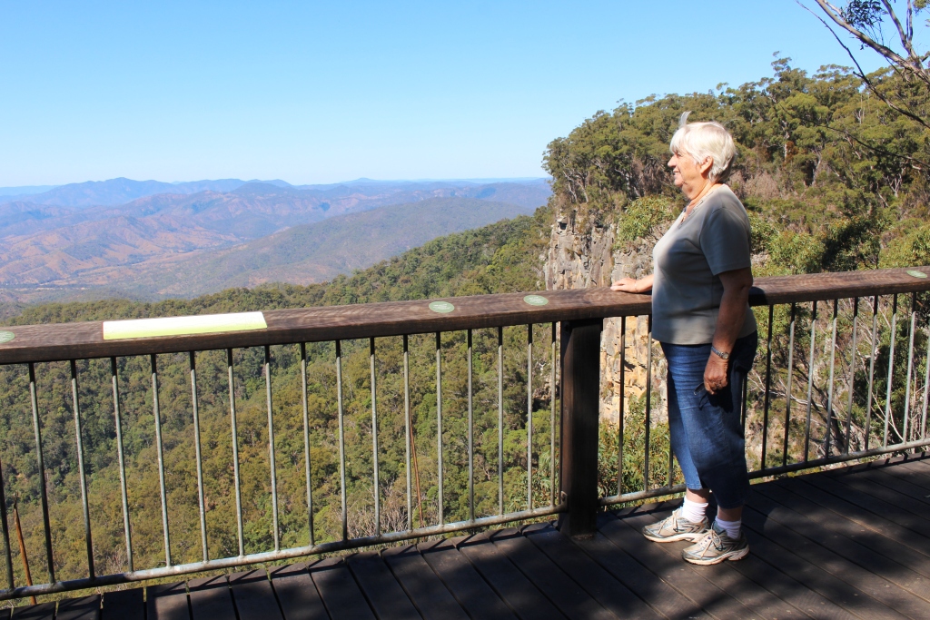
Ruth on the viewing platform enjoying the view
the distance to the steep bit the road is good gravel. From the National Park boundary the surface is fair but would need care in a small vehicle.
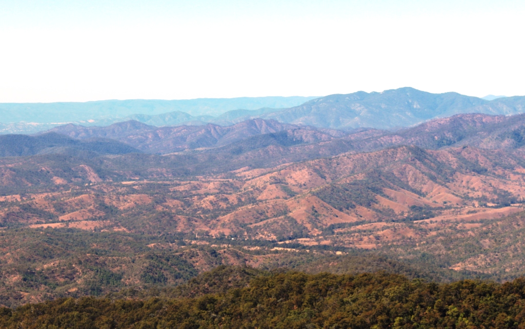
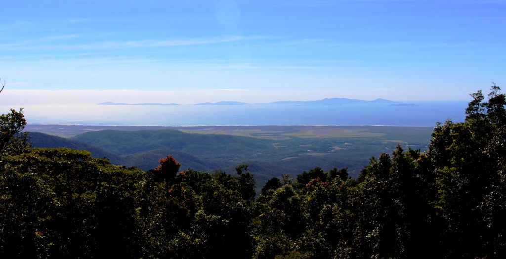
Part of the view from the lookout
The altitude makes for a different climate to that on the coast, with rain forest to the east and dry bush country to the west. Betsy came down on a moderately timbered ridge, only requiring about another
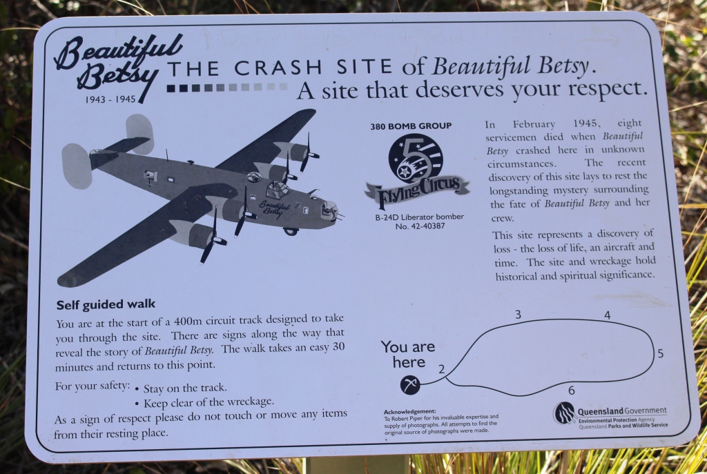
The introductory plaque at the start of the walk
100 metres of altitude to clear it all together. Aviation experts believe that the aircraft was off course and too low. In the predawn light the crew saw the hills in their path, increased power and tried to climb but pancaked into the hillside due to momentum that carried the plane forward before it started to climb.
Betsy was not armed so there was no explosion nor was there a fire. The plane disintegrated on impact.
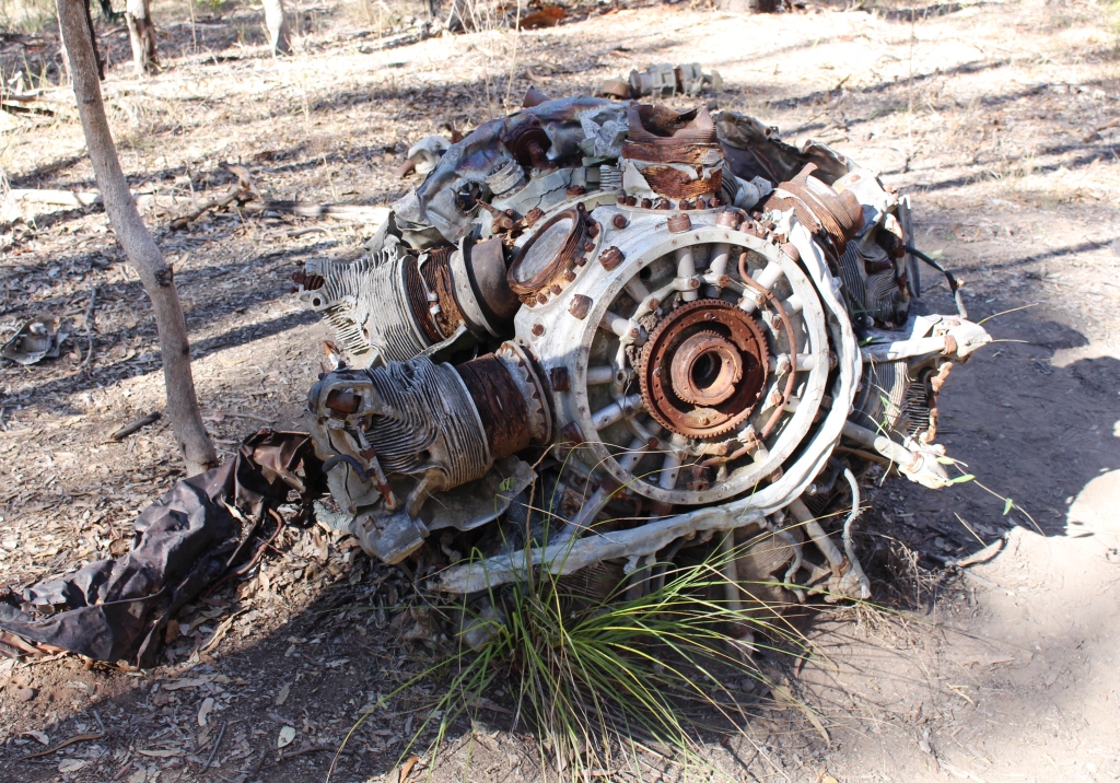
An engine where it came to rest
The four engines broke free and kept going, rolling up the hillside until they stopped near the top. It is thought that all crew died on impact.
Beautifully Betsy had seen service in the Pacific where, during hostilities, the air frame became stressed to the point that it was no longer reliable as a bomber. But it was suitable for lighter duties and, stripped of its armaments was used to fly in more palatable food supplies than the standard fare known to USA airmen as “the Darwin diet”. Its cargo was as diverse as fresh fruit, ice cream and live chickens.

Part of the fuselage and wing

The doomed aircraft and crew
The crash site is on a four wheel drive track that appears to have been pushed through by a bulldozer and then left to fend for itself. Parts are quite steep and rough with exposed boulders and washouts. But the crash site is well kept with a constructed path. Informative plaques have been placed by the path. This arrangement allows visitors to move through the site in an orderly way and to understand what they are seeing.
The view towards Gladstone from the top of the range
Only one other couple was there, moving through the site ahead of us. It was a somber experience, probably a bit more so following recent events involving a passenger aircraft in Europe. One passenger on the aircraft, the remnants of which we were viewing, was on his way to Brisbane to be married. Another was to have been his best man.
Our intention had been to follow the four wheel drive track through the full loop. It becomes a one way track from the turn to the crash site and we soon found out why. After about 200 metres a sign said, “Four Wheel Drive Only. Steep Rocky Decent”. And they were not joking. As far as we knew we were the last people that day in what was a remote area, so we erred on the side of caution and returned by the way we had come.