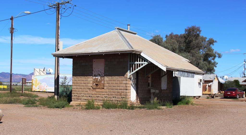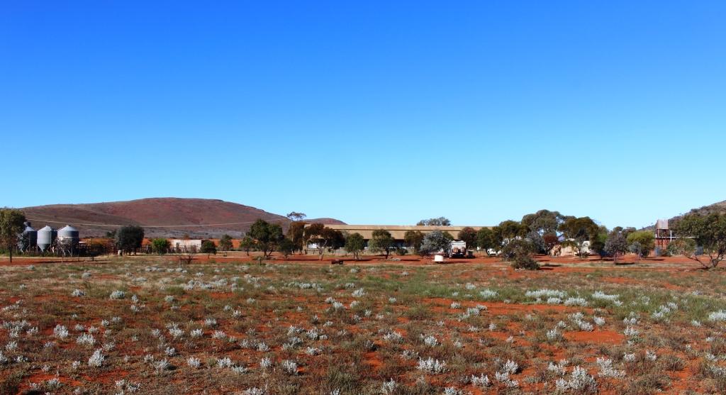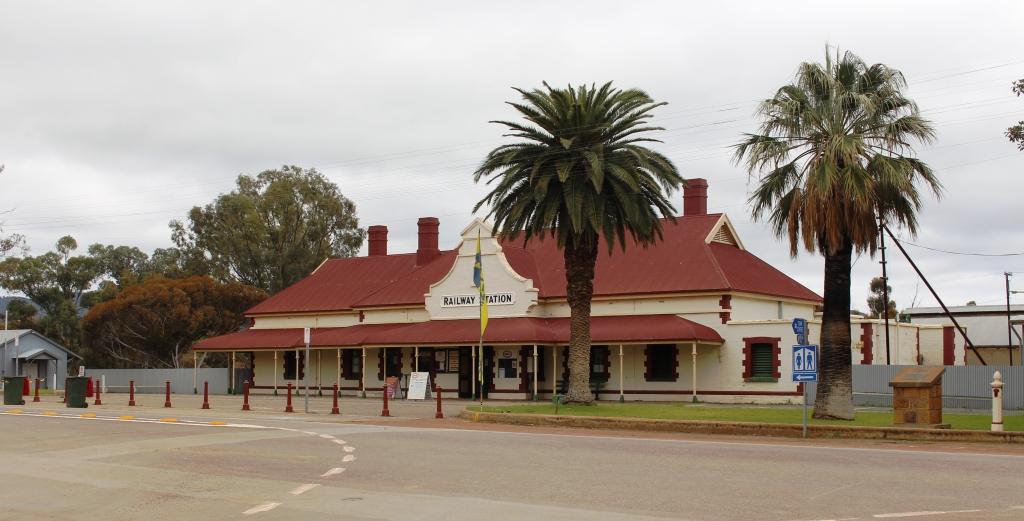
The Quorn Railway Station serviced the Ghan and is now the end of the Pichi Richi line.
We had decided overnight that we would go back to Quorn the next day, irrespective of weather conditions. The sun was shining between the clouds at Hawker but we encountered showers as we drove towards Quorn. We arrived in that town to a very wintry day, with cold south westerly winds and intermittent showers. We were sitting considering our options when I received a message that folk with whom we had earlier contact, who live in Quorn but had been away, had arrived home.
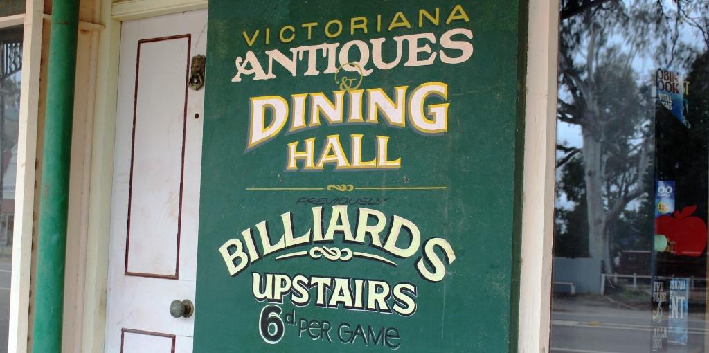
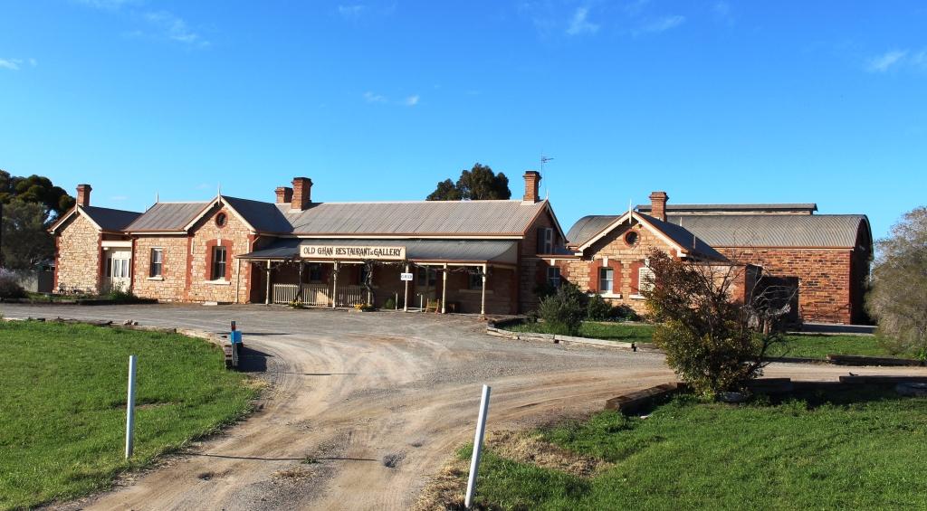
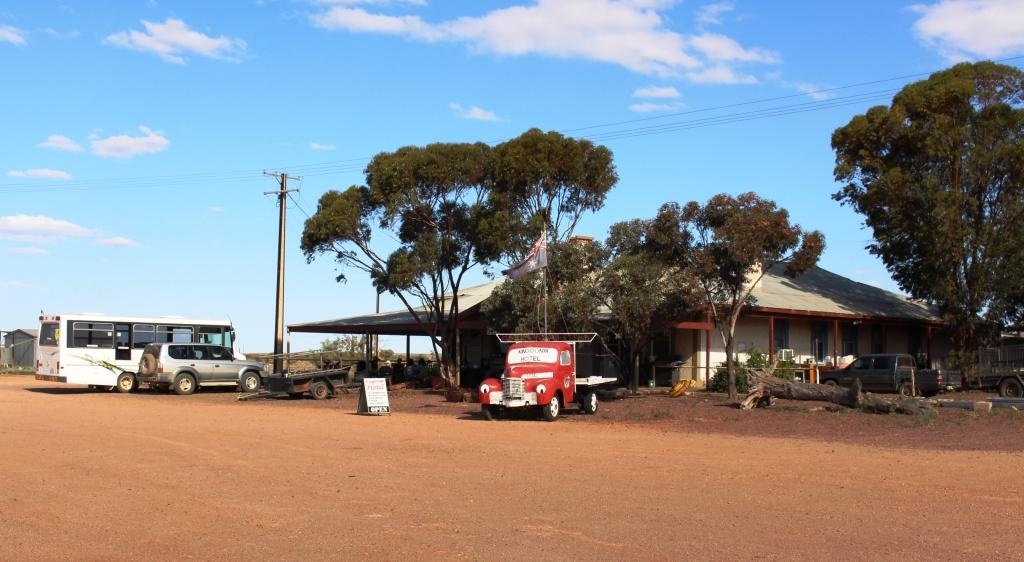
History in Quorn’s main street
Some of you know of my involvement with the www.exploroz.com web site. EcplorOz used to have a “birthday fairy” feature whereby on member’s birthdays a forum post would extend birthday greetings to all whose birthdays fell on that day. Members listed would usually wish each other a happy birthday. In that way I got to know Graham. When I learned that he lived in the Flinders Ranges I asked him questions about the area. It was always understood that when we visited that we would make contact. I had contacted Graham when we had arrived in Port Augusta, only to learn that he and his wife were in Western Australia. They travel around Australia more than we do.
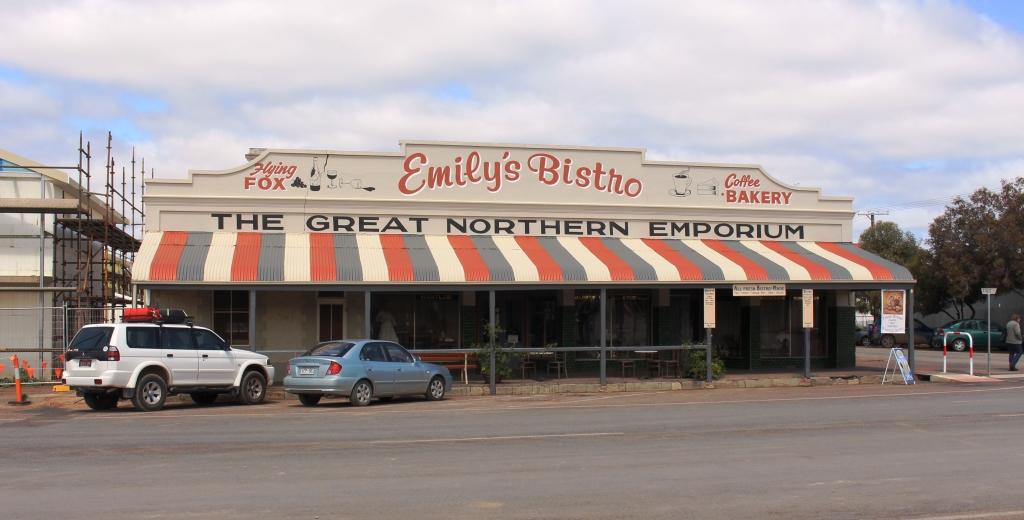
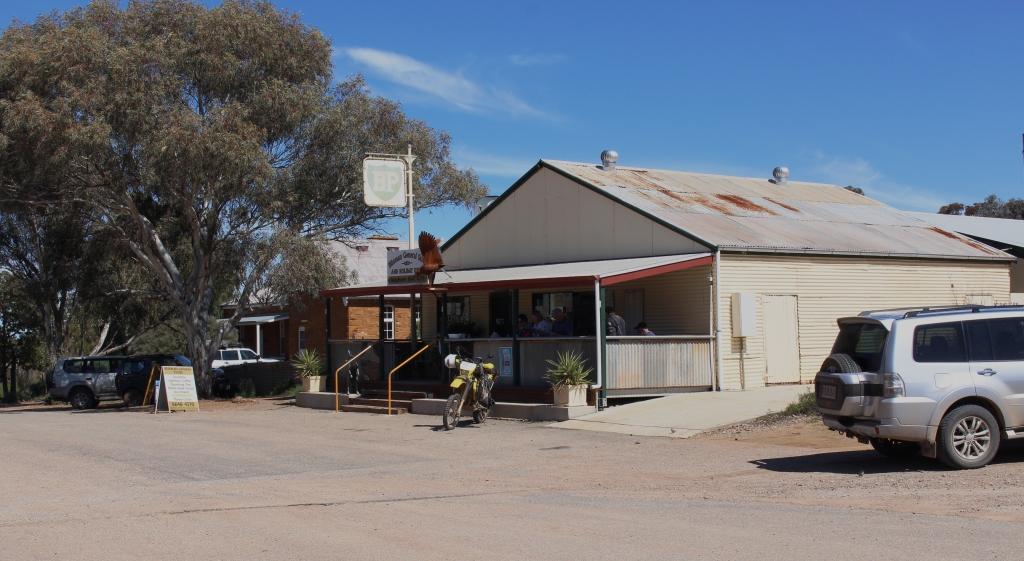
Our meeting place for coffee in Quorn, Emily’s.
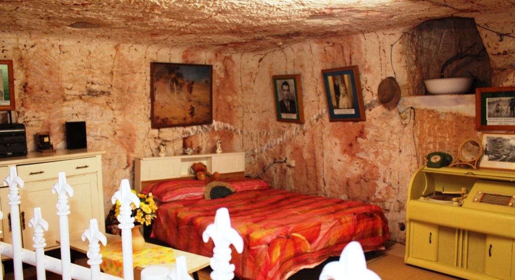
We made contact that afternoon and agreed to meet for coffee the following morning. We met at an interesting bistro and coffee shop called Emily’s. This relatively new business venture has been established in what was previously a general store. Much of its charm is the result of many of the original fittings being left in place. The original grocery shelves occupy one wall and contain a display of grocery and other items from yesteryear. Some of the furnishings are of vintage, but solid, appearance and items such as mannequins, dressed for the period of the original store’s heyday, help to create the atmosphere.
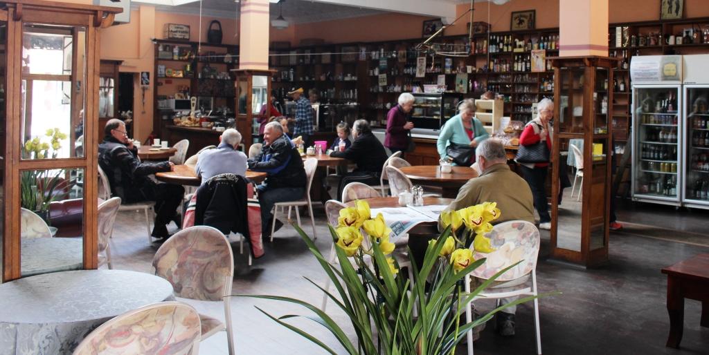
Inside Emily’s Bistro & Coffee Lounge. Note the old fixtures.
Refrigerators and display cases for food are new, with the normal paraphernalia of the modern coffee shop. Behind the scenes is a very modern kitchen with bakery facilities. The output that we sampled, as we got to know Graham and Maxine, were excellent as was the coffee.
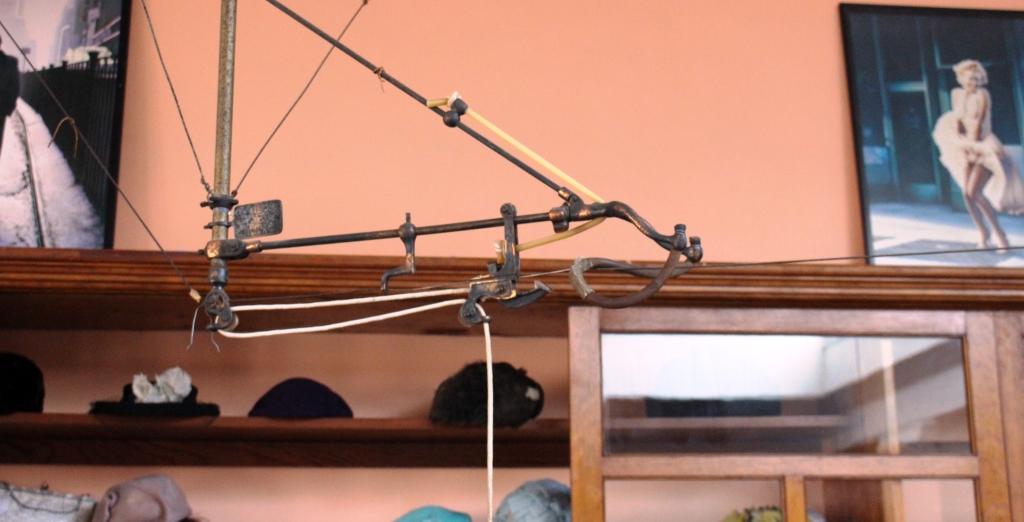
An empty cash transfer machine. A reminder of my youth.
But the retained feature that caught my eye took me back over fifty years to my first job. The general store had used an elevated cash transfer system, known as a flying fox, that conveyed client payments to a central cashier, in small containers sent on their way by a rubber catapult arrangement. I had used one of these contraptions all those years ago.
When I commented to the lady behind the counter on my experience with this old equipment, she asked if I would like to relive old times by pulling the handle to send a container whizzing along its wire. Of course I did! So I was taken into the original cashier’s enclosure and for a moment relived part of my youth.

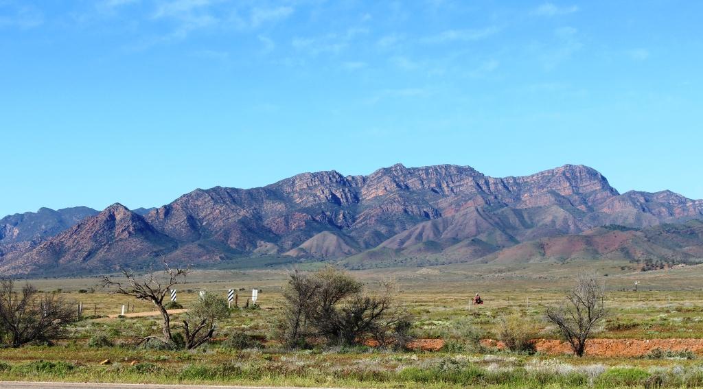
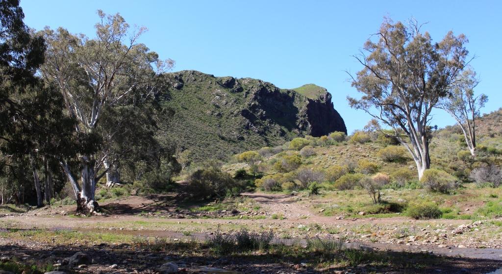
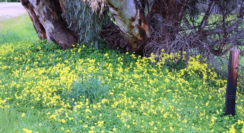
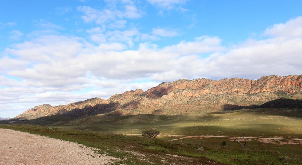
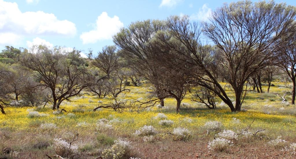
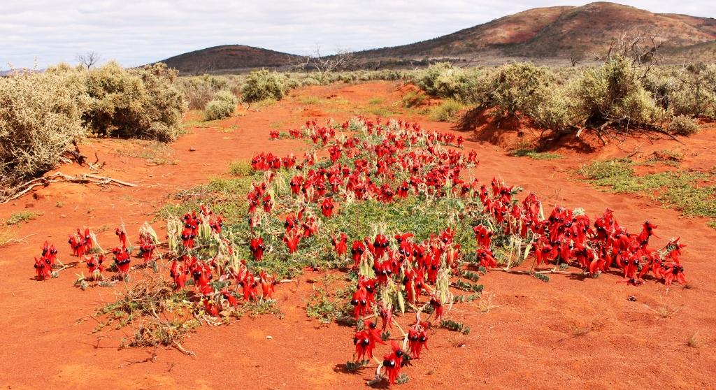
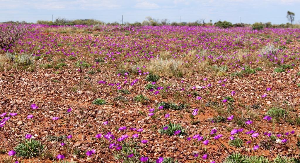
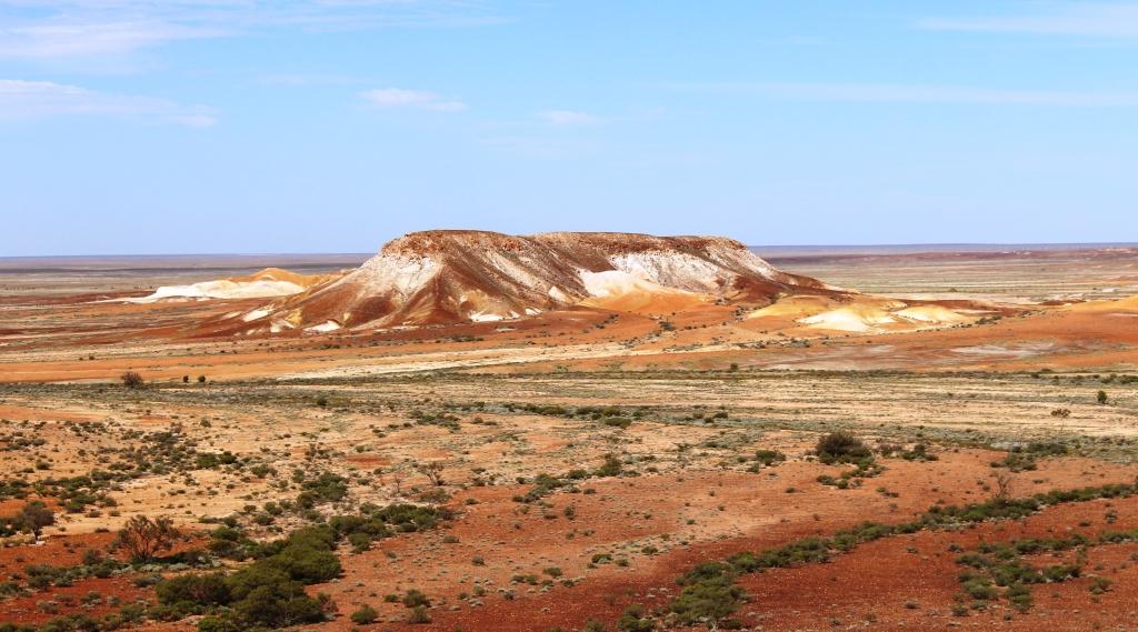
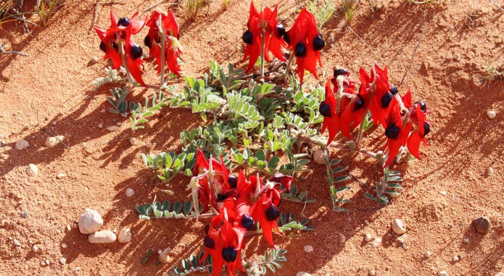
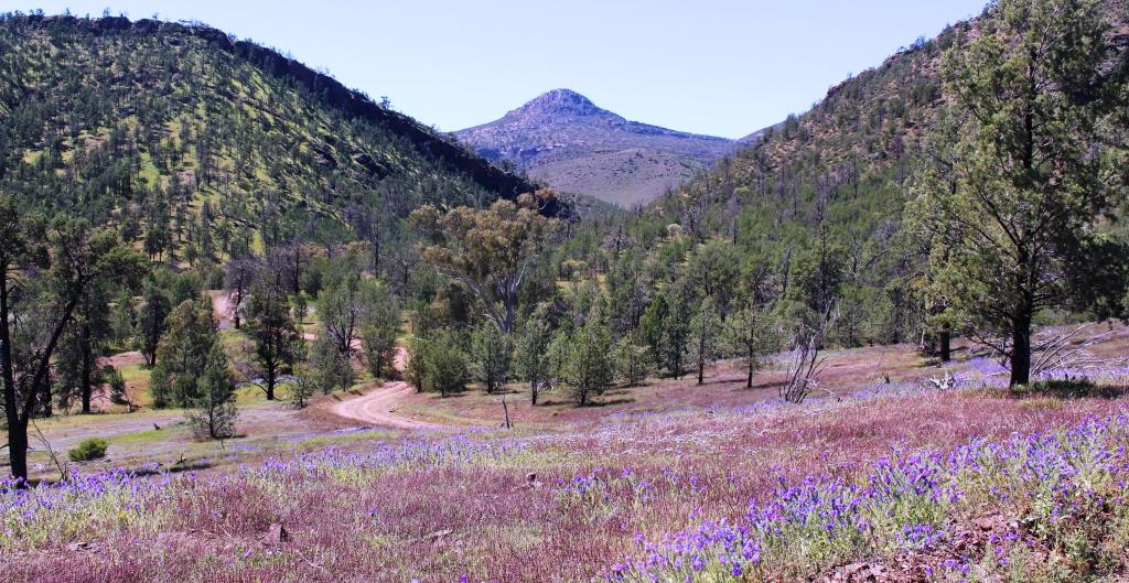
Wild flowers against the background of the northern end of the Elder Range.
During our discussion Graham suggested that we do a drive through Moralana Scenic Drive. The drive links the Hawker to Blinman Road with the Hawker to Parachilna Road by way of a gap in the ranges between the northern end of the Elder Range and the southern walls of Wilpena Pound. Having made that arrangement we parted until the next morning.
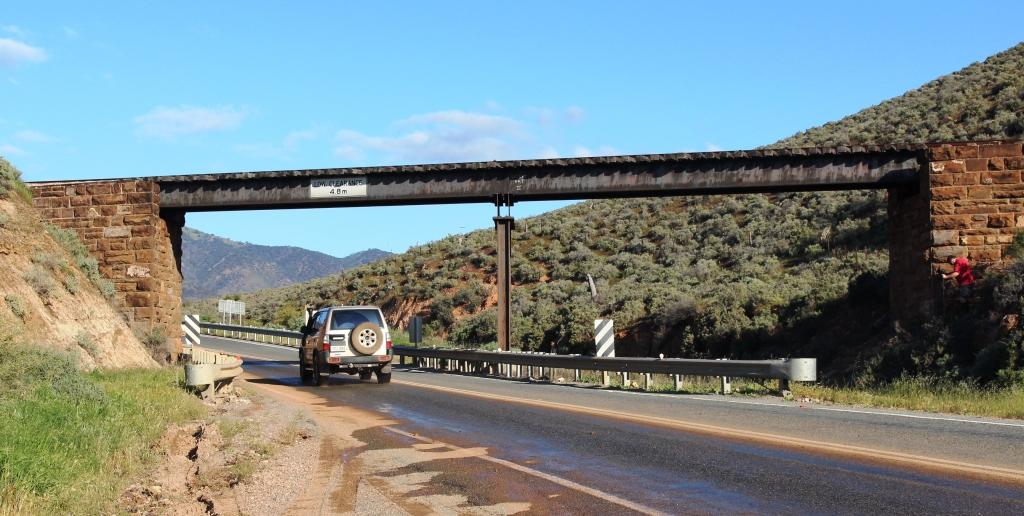
An elevated crossing of the road to Port Augusta by the Pichi Richi Railway. This was formerly the track of the famous Ghan railway to Alice Springs.
After a late lunch, we drove towards Port Augusta, through the Pichi Richi Pass, the gap in the mountains from which the Pichi Richi Railway tales its name. It is an attractive drive, crossing and passing under the railway line several times and with water washing over a normally dry causeway. As we reached the point where we intended to turn around we could see Port Augusta in the distance so we continued on to do some necessary shopping.

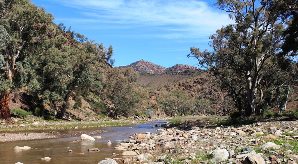
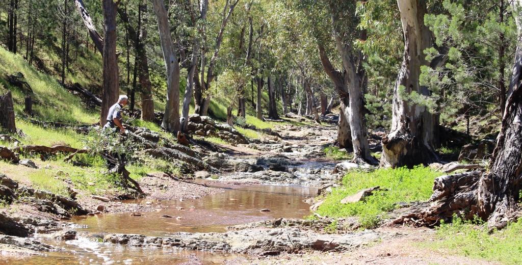
River Red Gums line the banks and stand in the beds of many Flinders Ranges creeks.
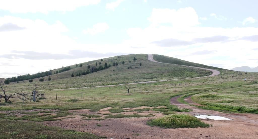
At 10.30 the following morning, Friday, we set off on the 70 kilometre drive back to Hawker and the further 25 kilometres to the start of the Moralana Scenic Drive. The track had only reopened that morning but was not particularly wet, although the streams crossed were mostly running, but shallow. The track is, in reality, station tracks for Arkaba and Merna Mora Stations, through whose grazing land it passes.
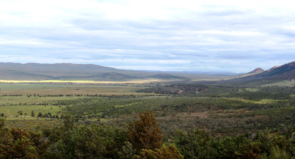
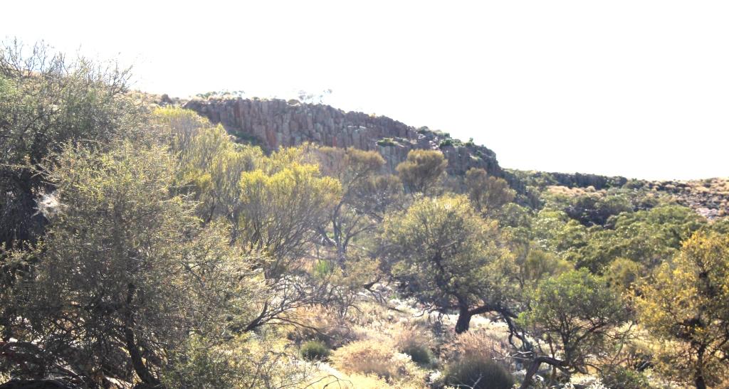
Black Gap provides a hiking trail into Wilpena Pound.
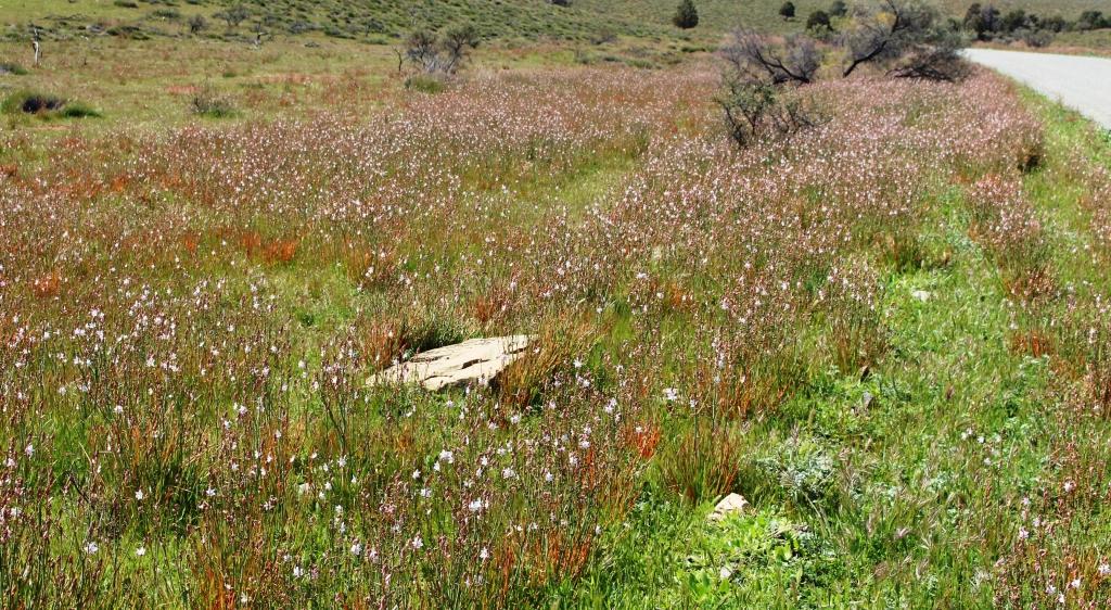
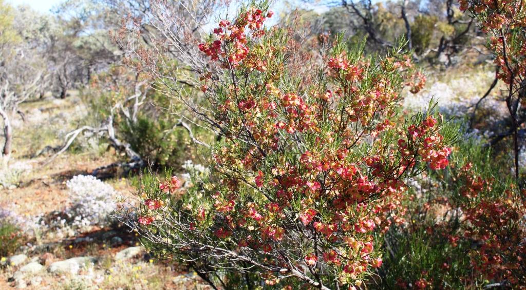
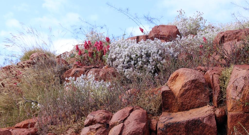
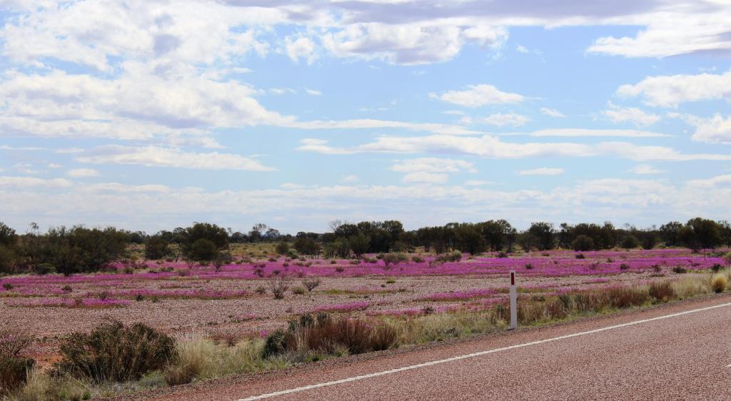
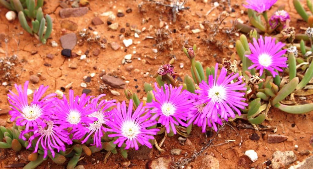
The hills on each side were green with lush grass. Periodically, wild flowers decorated the road side, often running in a blanket of yellow or purple up a hill side or disappearing between the stands of native pines. The occasional kangaroo raised its head to look as us as we passed its feeding place.
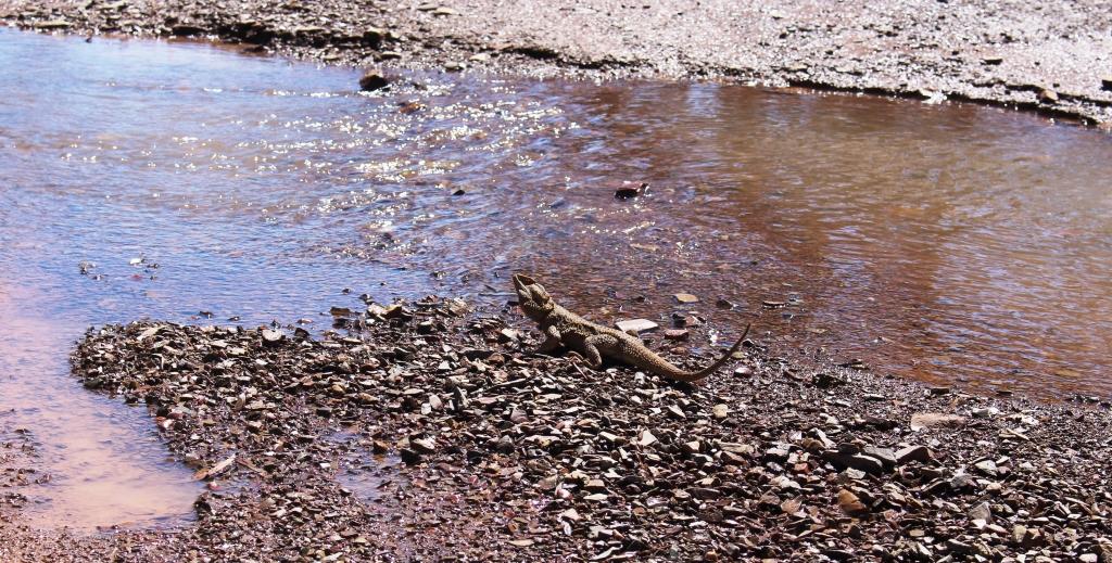
A Bearded Dragon pauses to search the sky while drinking at a running stream – in the middle of the track.
There are two places of particular interest on this road, both near the half way mark. The first is a side track into Black Gap. The creek bed that forms part of the track was flowing with water from the recent rain and was fairly deep in one place. This part of the track was a bit interesting, as water obscured the rocky creek bed, hiding the small boulders over which we had to drive.
The hiking track into Wilpena Pound runs along the banks of this stream.
Black Gap is a hiker’s entrance into Wilpena Pound. The previously mentioned Heysen Trail passes through Black Gap. From the car park at the end of the track it is about a 12 kilometres walk across the floor of the Pound and through the main entrance, to reach the Wilpena Resort. The hills on either side of the track are lightly covered in native pines but were lush with grass. There should have been many happy kangaroos in those hills.
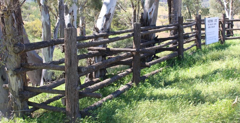
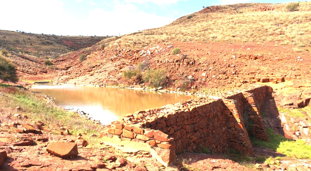
Rebuilt cueing yards are right beside the Meralana Scenic Drive.
Back on the main track, we came to the second point of interest. During the construction of the Overland Telegraph Line native pine trees from the Flinders Ranges were used to support the wires where the line came through the adjoining area and further afield, where there were no suitable trees. The pine logs were pulled out of the mountains using teams of bullocks.
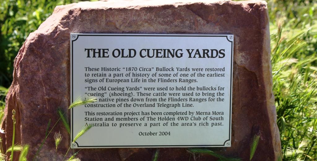
The information plaque at the rebuilt cueing yards
But the Flinders Ranges are mostly comprised of rock which badly damaged the bullocks’ feet. To protect the feet they were fitted with steel shoes, much the same as used with horses. But the bullock shoes were called cues and the process of shoeing was known as cueing. Yards that were used for the cueing process are beside the track by a stream. Merna Mora Station, on whose land the old yards were built and were falling into decay, have rebuilt them and provided a picnic table as well. We paused there for a late morning coffee.
The drive emerges from the ranges and leads over the Moralana Plain to its intersection with the Hawker to Parachilna Road. We completed the drive, through a few more creek beds to reach the sealed road and returned the 40 kilometres or so to Hawker, where we stopped at the Sightseer Café for lunch, before returning to Quorn.
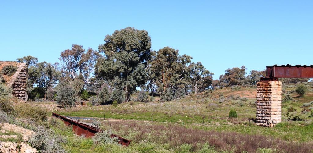
Flood damaged bridge on the old Ghan railway.
On the way back to Quorn from Hawker we got the benefit of local knowledge. We turned from the main road onto a track that, after a couple of kilometres, brought us to a stream that had been bridged all those years ago to carry the line for the Ghan. But in 2011 the bridge that had stood for so long lost a pillar and two spans to the flood waters of that wet year. Stones used in construction of the fallen support pillar weighing at least two tones each, were tumbled down stream for hundreds of metres. One steel span was pushed onto the bank while the other was carried several hundred metres down stream as well.
Hugh Proby’s grave is located near to the place where he lost his life.
We then retraced our steps of about half a century ago, past areas where we had camped and visited. These included Warren Gorge and Proby’s grave. Hugh Proby, third son of an English lord, was drowned in Willochra Creek, north of Quorn, in 1858, after ignoring the advice from an Aboriginal stock man about crossing a flooded creek. The stock man and Proby’s horse survived and lived to see old age. The grave remains a tourist attraction because of the huge marble memorial stone that Proby’s family had shipped from England and transported to a sight near to the location at which he drowned. So the message is naw as it was then. “If its flooded, forget it!”
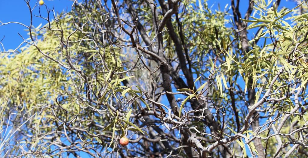
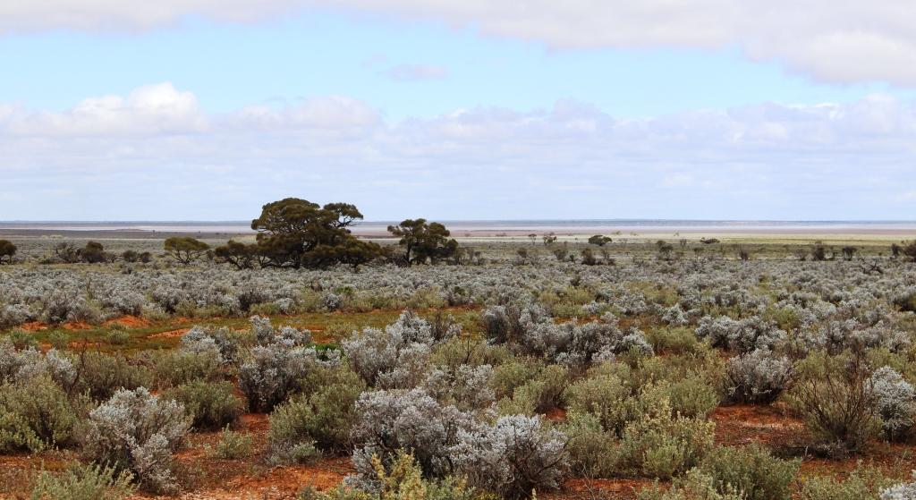
Not much fruit on this Quandong tree.
At one point we stopped beside a couple of Quandong trees to receive a lesson in botany from Graham. Quandong trees grow wild but can be cultivated. They are popular in the Quorn area and common in the gardens of residents. The berry is similar to a cherry but quite tart so apple and much sugar are often added to improve taste. Quandong berries are mainly used to make jam. Quandong jam can be bought almost anywhere in Quorn.

A view along a Quorn footpath.
We said goodbye to our new friends over a cup of tea at their home. We then returned to the caravan park to prepare for departure the next day. We had decided to start making our way home. There was no sign of improvement in the weather. Rain fell again over night, with a minimum temperature of 4 degrees. The outlook for the next couple of weeks was more of the same.
The recent black out in South Australia occurred just two days after we crossed into New South Wales on our way home.