Monday produced a reasonable morning, but cloud moved in during the afternoon and rain arrived by early evening. The rain was fairly constant until the early evening on Tuesday when it reduced to a slow drizzle that went on and on. You become very aware of it under a caravan roof. Wednesday was a good day with long periods of sunshine.

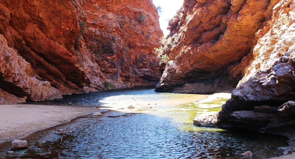
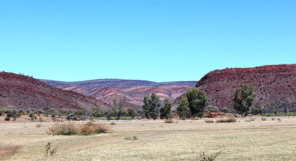
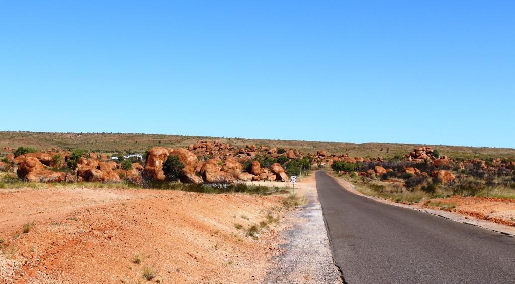
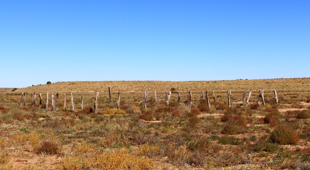
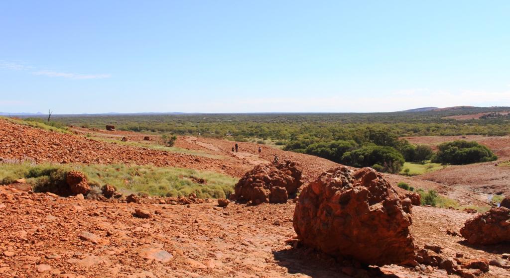
Hills by the road side south of Alice Springs
The rain promised for Thursday did not eventuate although it was cloudy for most of the day, with a few brief periods of sprinkles. We discovered later that the rain all fell to the south, around Coober Pedy. About two seasons worth of it!
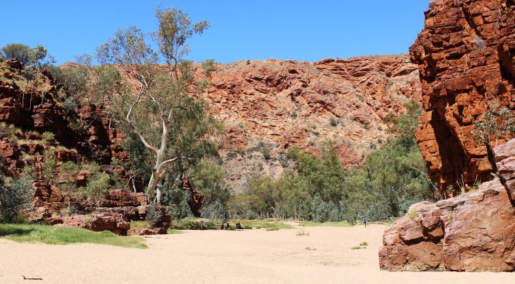
So what does one do to fill in time in Alice Springs while waiting for the weather? Well, I decided to be sick. After a walk along the sandy floor of Trephina Gorge in the midday sun on Sunday I felt a bit more knocked up that I would have expected, but put it down to the warm day. Not as young as I used to be, you know! But by evening I had back aches and headaches and general lethargy. Seems I had picked up a local gastric bug that has been doing the rounds. Ruth had a touch of it as well.
So the diet changed to dry biscuits, toast and Vegemite drinks, with lots of rest. We spent the four days restfully, with only one outing, to buy supplies for the next leg of the journey.
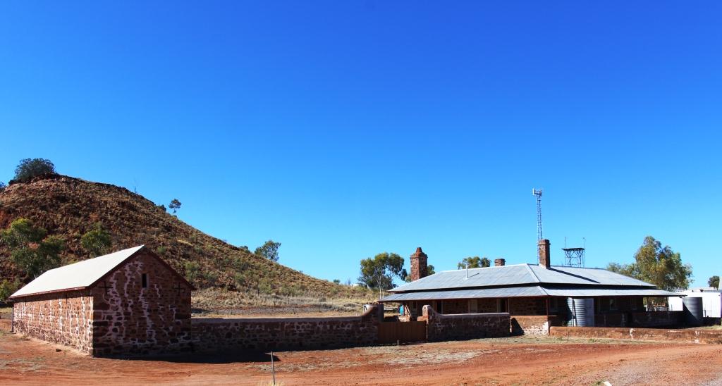
We left town with the exhaust noises of rebuilt classic and hot rod cars ringing in our ears. A gathering of exponents was being hosted by Alice Springs. Some had already arrived in our caravan park and were disturbing the peace.

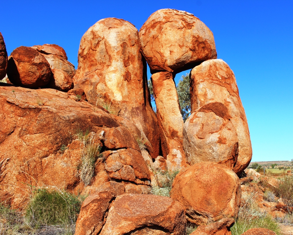
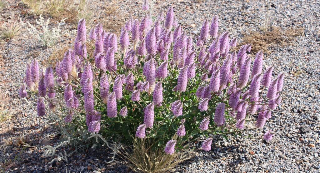
A Waxy Wattle at Erldunda
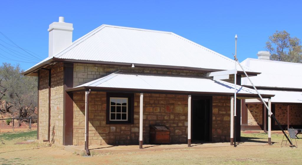
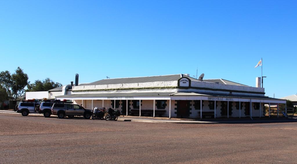
Erldunda is a bit less than 200 kilometres south of Alice, at the intersection of the Lassiter Highway with the Stuart. Lassiter Highway leads to Uluru. The only establishment at the intersection is The Desert Oaks Resort. The Resort is a roadhouse, hotel, motel, tour bus camping area and a caravan park. Quite a good caravan park and it is where we spent Friday night.
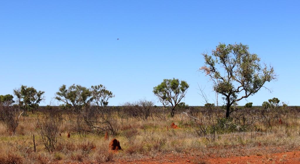
The drive to Erldunda was through more kilometres of green desert, mostly flat but with occasional jump up ranges to give some relief. We were pushing into a cold stiff south-westerly wind, but arrived mid afternoon to a grassy drive through sight. Our neighbors were almost all travelling to the same destination as we are. The caravan park has a platform for viewing sunsets but the cloud was packed solid with not a single glimpse of the sun.

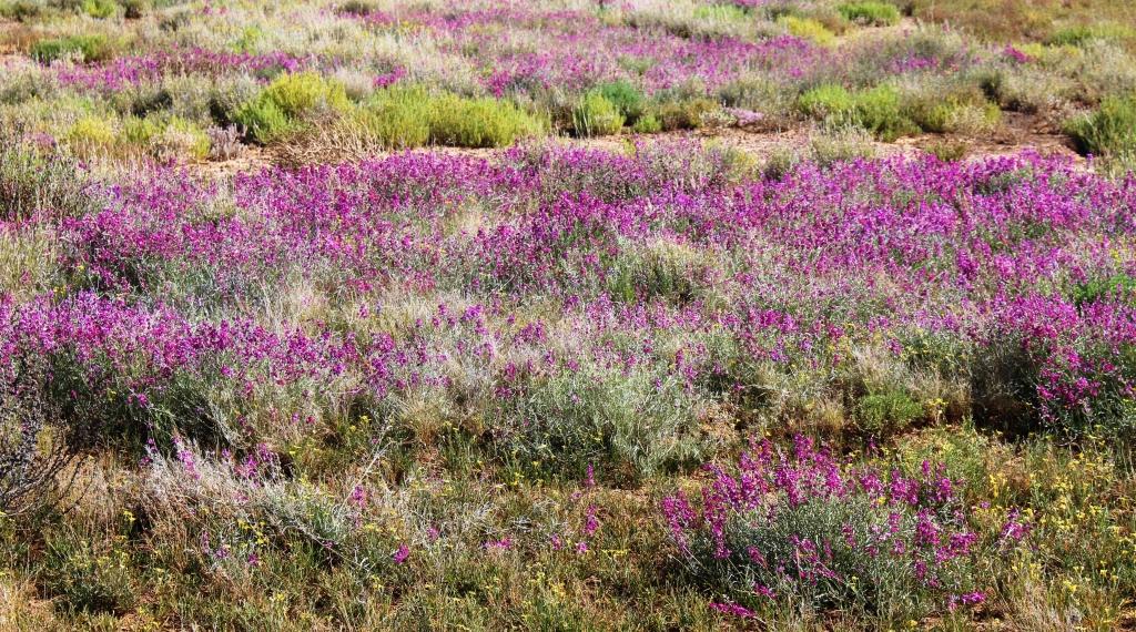
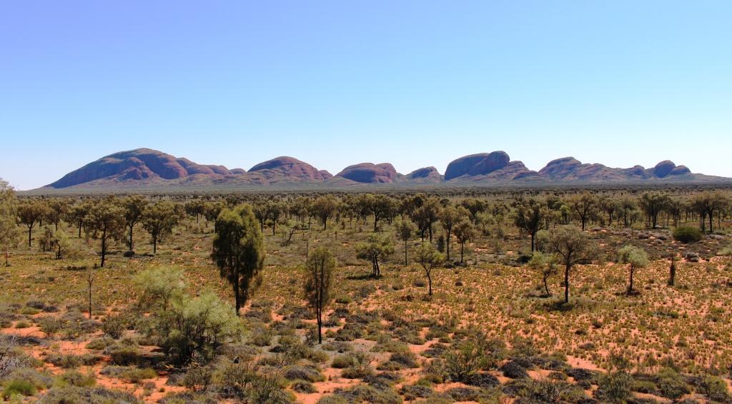
Daisies to the horizon
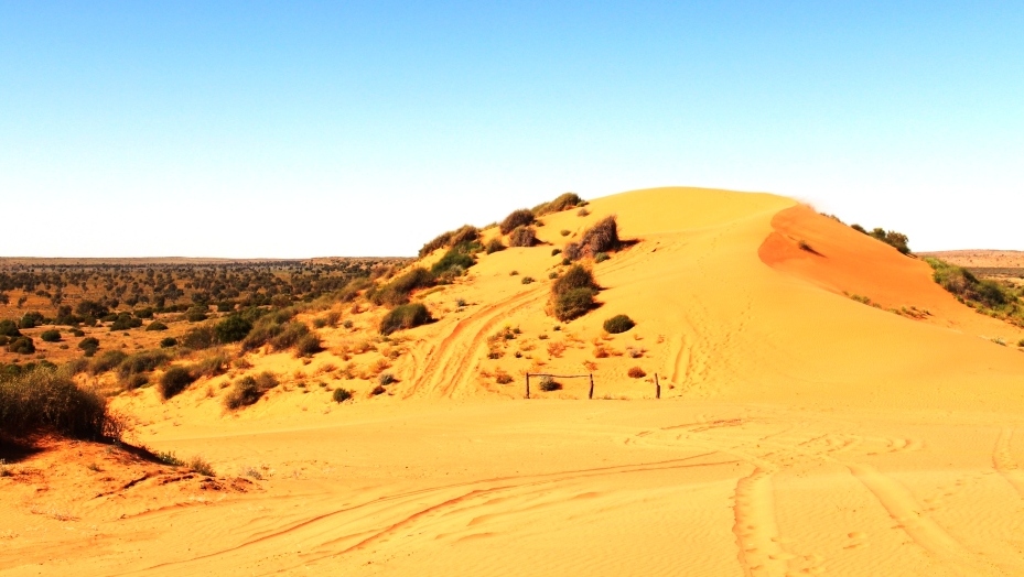
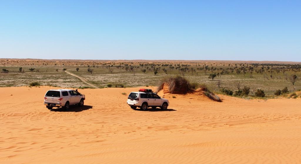
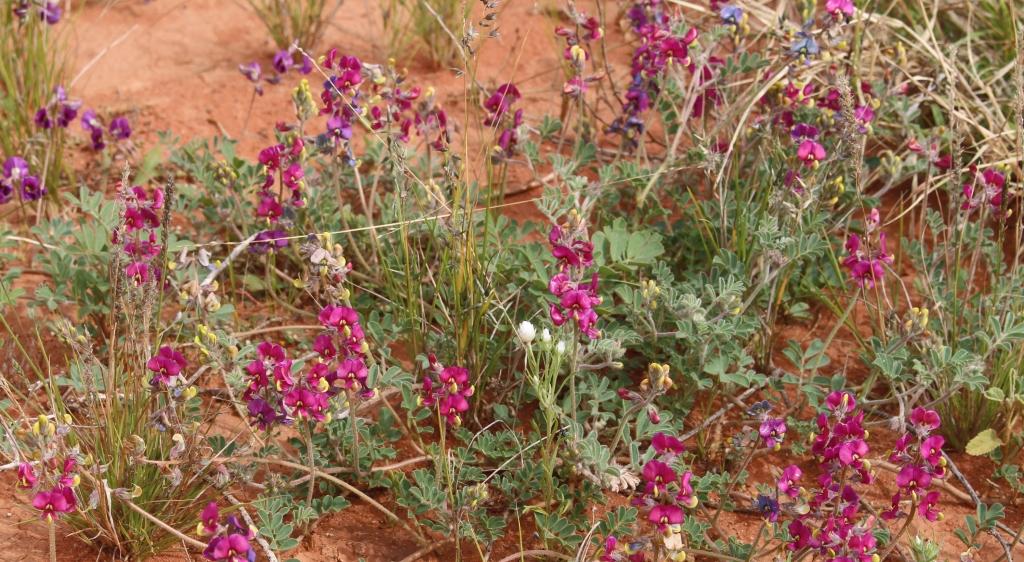
We drove through similar terrain on Saturday but the hills are sand dunes rather than jump ups. Yulara is a further 250 kilometres west from Erldunda and more desert like, but still green. We had been passing wild flowers for a number of weeks and frequency had been increasing, but as we turned west the frequency increased further. Fields of yellow daisies stretched to the horizon, often interspersed with smaller areas of white ones and other wild flowers.
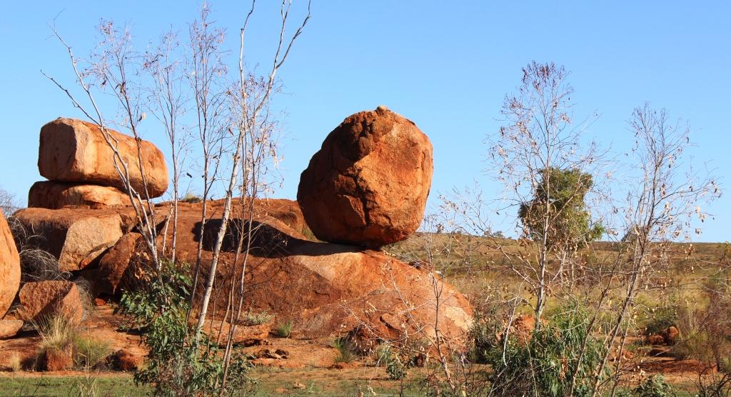
Unknown flower. Who knows what it is?
I am no expert in wild flowers so many sightings remain unidentified. Today I realised that bushes of small yellow blooms were Waxy Wattles. We thought that hectares of shrubs with small mauvish white flowers is Heath, but now find that it is Desert thryptomene. Perhaps readers can help by responding to photographs. I will include “Unknown” in the picture title. Watching for the flowers sure brightens the journey.

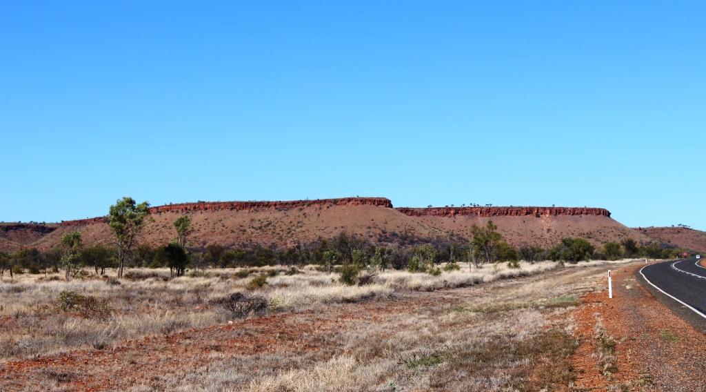
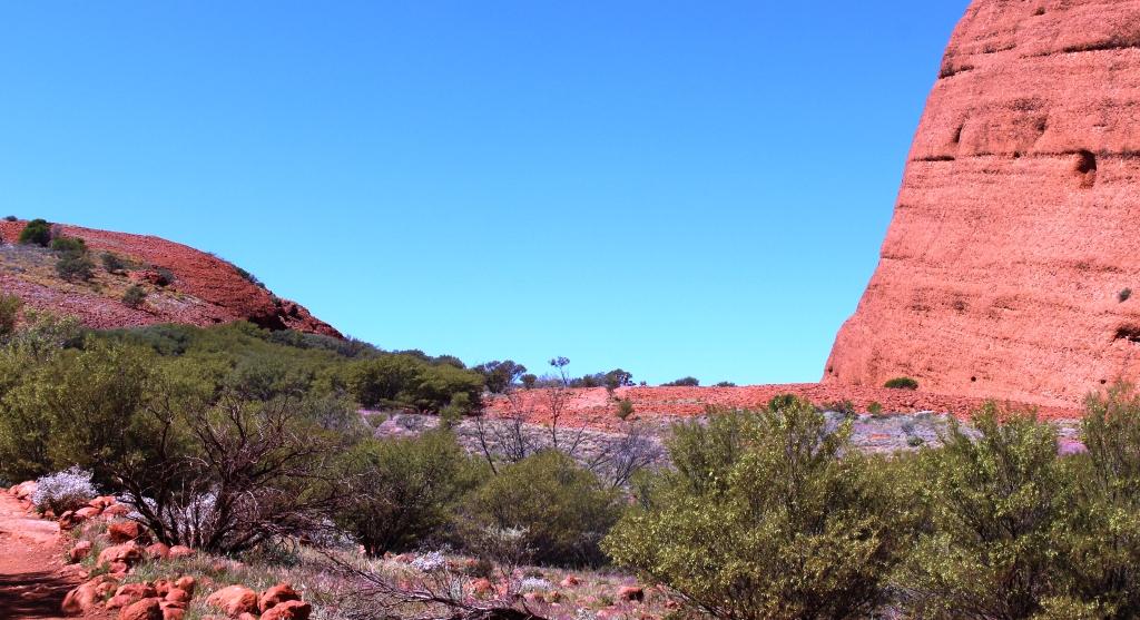
Mount Conner near Curtain Springs is often mistaken for Uluru
Saturday afternoon brought us to Yulara and the Ayers Rock Caravan Park. It is a large park with a high turnover of visitors, as people only seem to stay for a couple of days to see Uluru (Ayres Rock)and its sister range, Kata Tjuta (The Olgas).
A three day National Park pass costs $25 for each of us and the caravan park offers a “pay three and stay four night” special, so we increased our stay by two days. But there is a second reason. Things that we want to see as we go south are not accessible because of rain affected roads. A couple of additional days will give more time for roads to dry out.

Ayres Rock (Uluru) from the camp lookout
We wasted no time in starting the tourist ritual. The first priority is always to gain an uninterrupted view of “The Rock”. Sightings are rare as you approach Yulara, due to a succession of sand hills that obscure the view. Resort designers thoughtfully provided a lookout on a sand dune on the Uluru side of the camp ground, with expanded mesh pathways to the top. So we walked up to see the sun seting on The Rock.
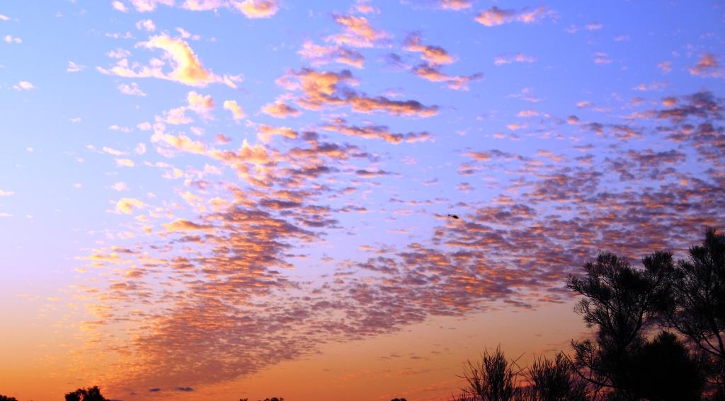
Sunset cloud patterns from the camp lookout
From this distance and direction the result was unspectacular, but the sunset was nice and illuminated some intricate skeins of cloud, remnants of the day’s heavier cloud cover. The accompanying photo demonstrates how attractive they were.
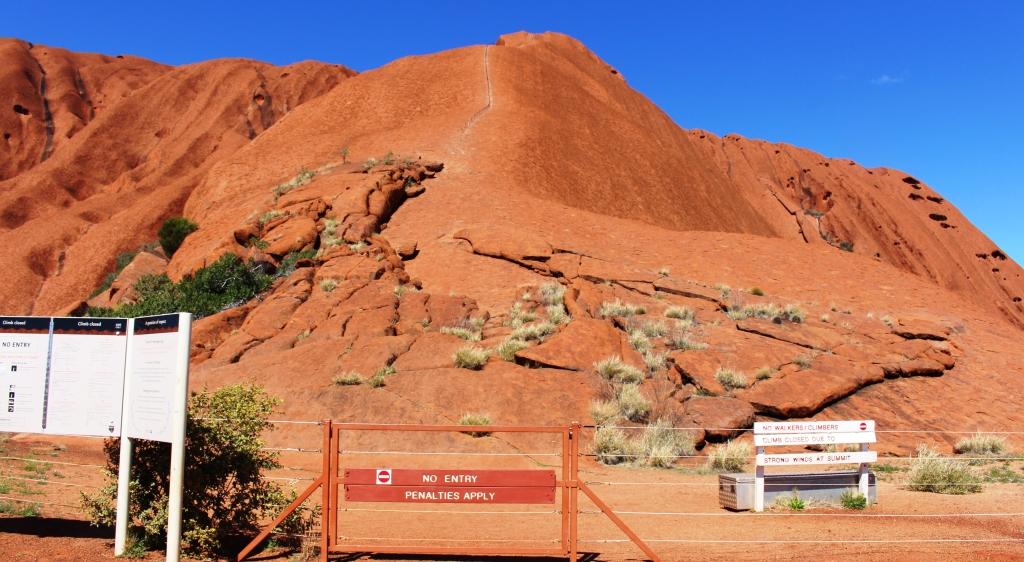
A climbers view of Ayres Rock
On Sunday morning we set off for the national park, parting with $50 at the gate. We drove directly to the area where most visitors start their walk around the base of Uluru and where people climb the rock. There was no one climbing. The climb was closed due to high winds at the summit. It was quite breezy at the base so that made sense. The most prominent signage is that encouraging visitors not to climb.
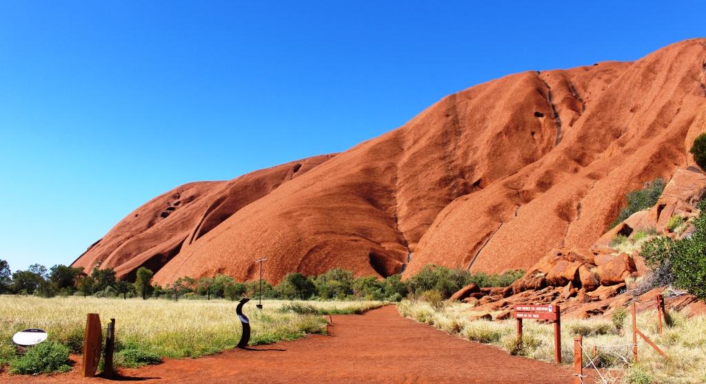
The start of the walking track around the base of Uluru
We then commenced a clockwise drive around the encircling road. We had completed the walk around the base on our last visit in 2010. At a distance of 10.5 km, to do it would be a bit of a stretch. Photo opportunities from the road are limited due to yellow “no standing” lines on both edges of the tar where the road runs adjacent to areas of cultural sacred significance.
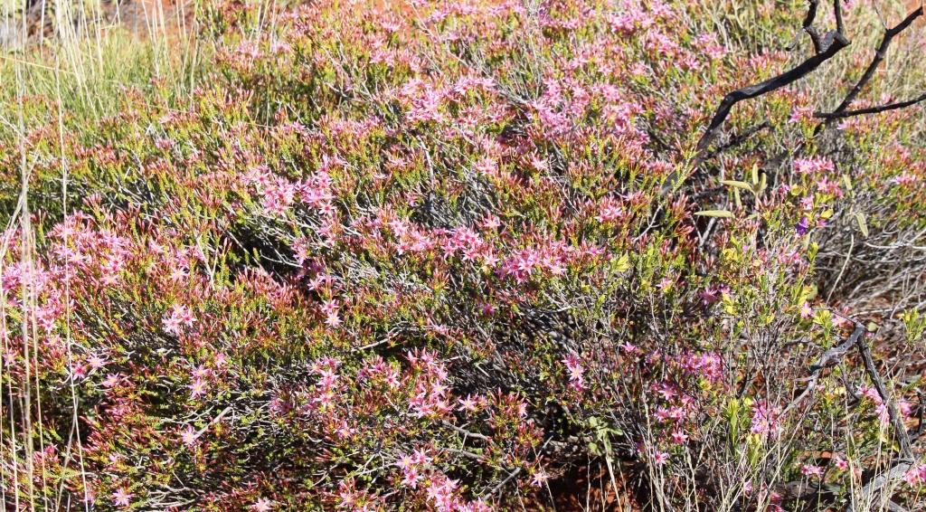
Another unknown flower
The circumnavigation complete, we visited the cultural centre where photography is totally forbidden. It is an extensive building taken up by cultural displays, a gift shop, an art shop and a working Aboriginal art studio. There is also a Holy of Holies. A coffee shop!
On Monday morning we put on our tourist boots again to do the Kuniya Walk into Mutiijulu Waterhole. We had seen this area on our walk last visit and wanted to see it again. On the southern face of Uluru there is a huge “scooped out” valley that acts as a funnel for water
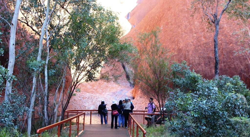
Tourists standing by the pool
off the Rock, which it drains into the waterhole. From there a stream passes along the foot of the Rock and then drains away to marsh land. It is easy to understand the importance of such a water source to locals before water started running out of a tap.
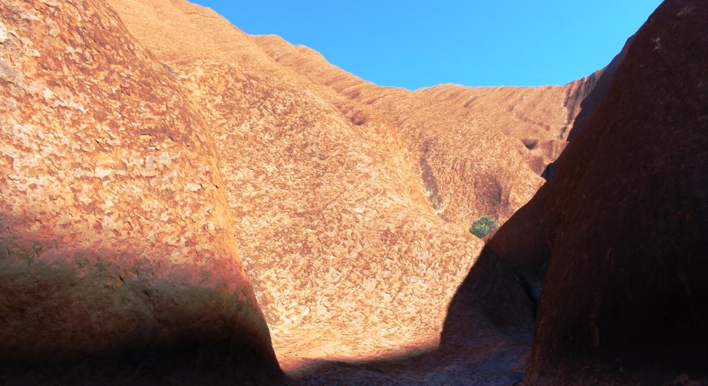
The rock forms a natural funnel
The stream runs along the foot of the rock
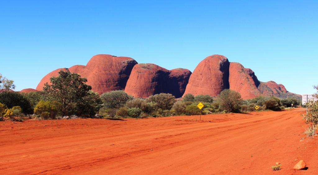
The Olgas from the sunrise viewing area
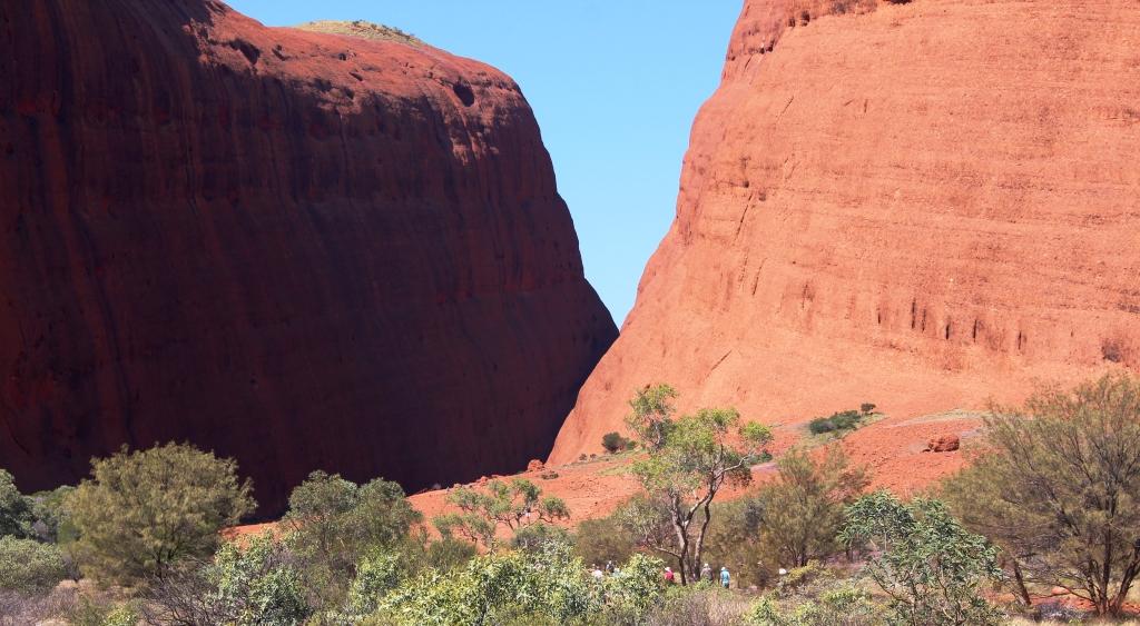
Having completed Uluru, with the exception of a sunset visit still to come, we drove the 45 kilometres to The Olgas, now re-badged as Kata Tjuta, stopping on the way to view this group of domes from the sunrise viewing facility on a sand dune to the east of the range.
Valley of the Winds Walk
I completed two walks, but the terrain was a bit rough for Ruth, so she sat them out. Both walks had been done on our last visit but were worth repeating. I prefer The Olgas to Ayers Rock in many ways. Uluru is huge and awesome but The Olgas have variety, as each dome is different to its neighbor.
The Valley of the Winds walk is sometimes closed as wind velocity can be dangerous. It was open today and I did it first.

More flowers by the math
The track leads at first along the bed of a stream that carries water down a slope, before crossing extensive beds of conglomerate, the rock from which the domes are formed. The path then climbs in a series of steps, over more conglomerate and loose rock, to a saddle between two domes. The view is over more domes in another part of the range. A second walk starts from the saddle. It is a loop into a ravine and around other domes, but it is more demanding and adds another hour or so to the walk.
The domes that form Walpa Gorge
The second walk was into Walpa Gorge. This walk is between the southernmost dome and its counterpart, immediately to the north. Most of this walk is over exposed conglomerate and is a bit like a moon walk. The path follows the lower northern slopes of the southern dome. The rock is intersected periodically by small vegetated streams that drain the upper slope and run to a stream that divides the domes. Foot bridges have been built over the streams for safety and convenience. The Walpa Gorge path leads almost through between the two domes to a rock fall that blocks what would otherwise be a complete passage to the eastern side.
Walking over conglomerate rock in Walpa Gorge

The final part of the Walpa Gorge walk
The walks in Kata Tjuta allow you to get up close and personal with the domes. The Valley of the Winds walk provides elevation for a different perspective to that available from the surrounding plain. Walpa Gorge allows close inspection of the lower reaches of the domes. The stunning addition to what we saw on our last visit is the wild flowers. Wherever there is some soil to give vegetation a toe hold, there are blooms. The sides of the road between Uluru and Kata Tjuta are similarly decorated.
The Olgas from the start of The Great Central Road
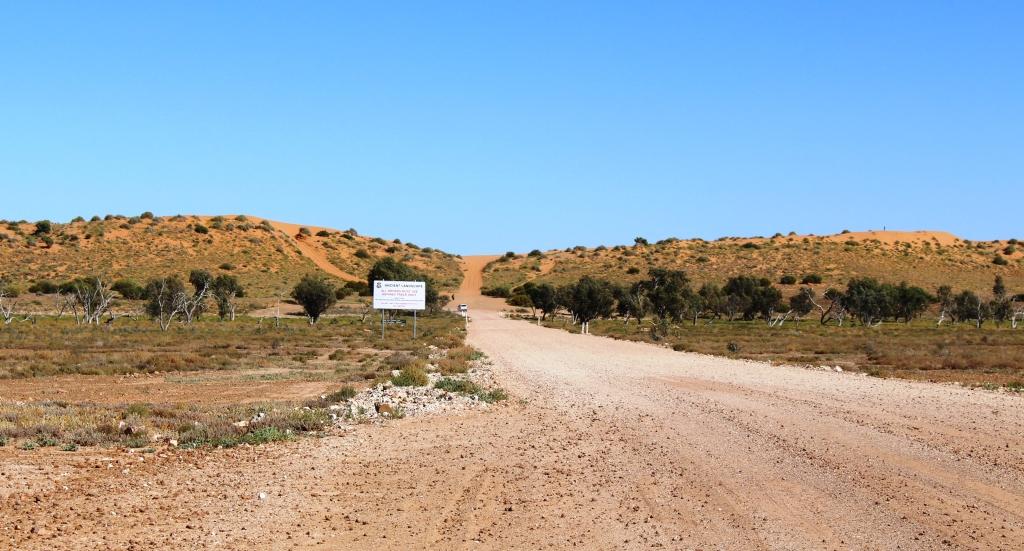
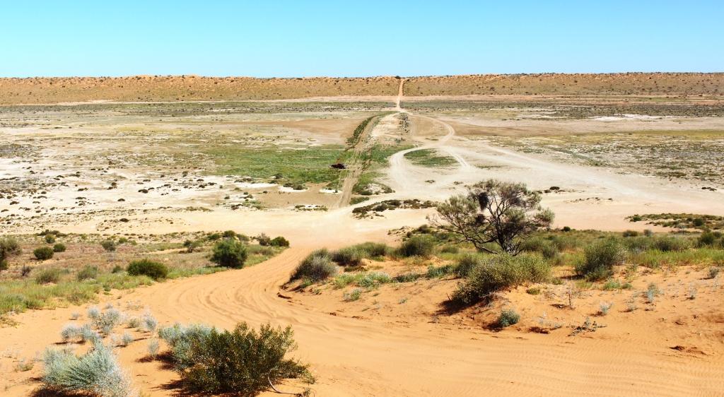
Just before Kata Tjuta is reached from Uluru or Yulara, Tjukaruru Road turns to the west. It is part of the Great Central Road that leads across the western part of the Continent to the West Australia gold fields. It is also part of the Outback Way that stretches from Cairns in the east to Perth in the west. The Outback Way is also known as The Longest Short Cut.
I can never stand at the start of such a road without getting itchy feet. So as a minor indulgence we drove the first few hundred meters of the rutted dirt and took a photo of the road, disappearing into the West. And a final shot of The Olgas from the road.
The final Tuesday evening activity was to go out to watch the changing colours as the setting sun reflects off Uluru. We took soup in a thermos and fresh rolls from the local bakery. The sun doesn’t set until almost 6.30 pm (7.00 pm EST) so that looked after the first course of dinner.

The setting sun touches the top of Ayers Rock. Desert thryptomene and Honey grevillea in the foreground
The signs were not hopeful. There was a heavy bank of cloud obscuring the sun in the west as we drove out to the viewing area. Initially the rock was in the shadow of the cloud but then the sun began to break through and to illuminate different parts of the rock as the sun sank and the clouds moved. There were some great effects, quite different to what we saw last visit when we had a cloud free view.

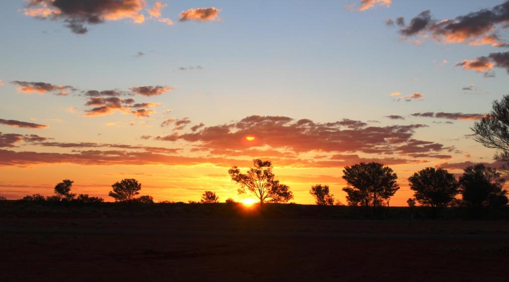
The final sunset at Uluru
We almost missed the final act. We were so focused on Ayers Rock that we were not watching the setting sun behind us. As we started to drive home the road turned us to the west. We were faced with a breath taking sight. Clouds near the horizon and .higher in the sky almost appeared to be on fire. By the time we had parked and got the camera out the very best had gone, but what remained was well worth photographing.
So it was back to camp for the remainder of our evening meal.