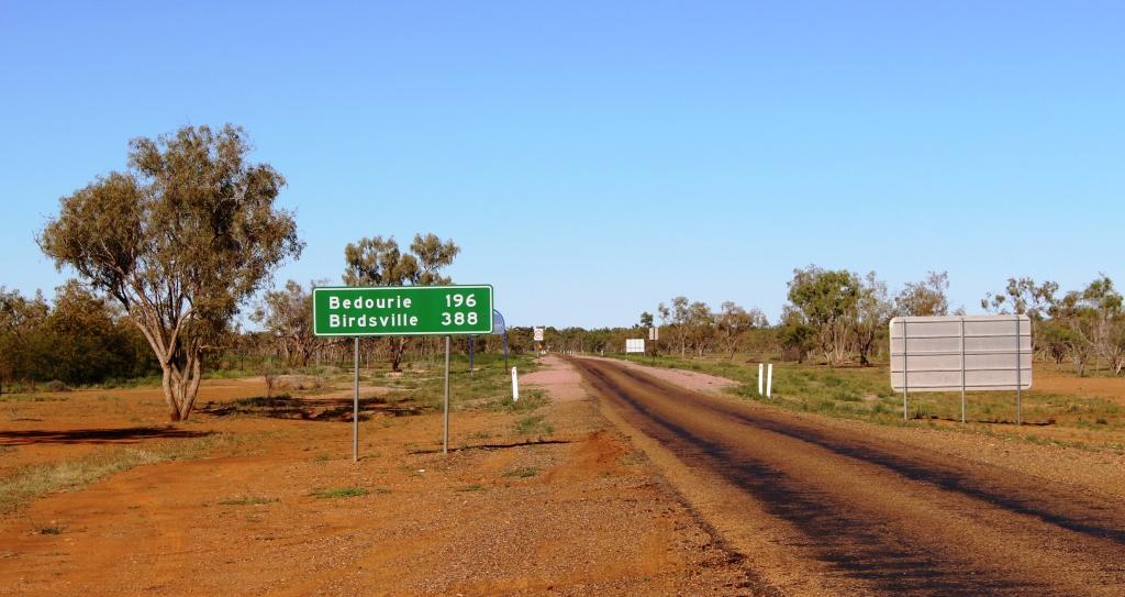
The sign at Boulia for the turn South
It is just less than 400 kilometres from Boulia to Birdsville, neatly dissected by Bedourie, which is about 200 kilometres from both. As there are no other towns on the road we made Bedourie our destination on Saturday and finished the journey on Sunday. On both days we arrived for a late lunch. That allowed us time to look around on our day of arrival.
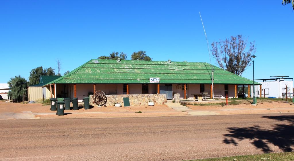
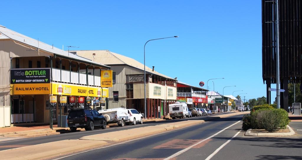
The Royal Hotel Bedourie
Our last visit to Bedourie was by air, during our air tour of the area around Lake Eyre in 2011. The first night of the tour was spent at the historic Royal Hotel at Bedourie. Licensee Jim Smith had provided hospitality beyond the call of duty, so we called to see him. Sadly he was away in Mt. Isa. But we, as the only customers, got talking to the young lady behind the bar. Clearly she was a northern European back packer.
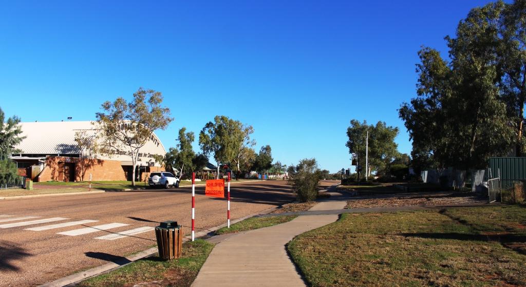
The part of main street at Bedourie
We mentioned that while here, we had visited nearby Cluny Station. That led her to tell us that she had been at a party at Cluny the previous night. Soon other party participants arrived. I could see another party starting, so we said our farewells and departed but with a bit more knowledge of life in this remote town.
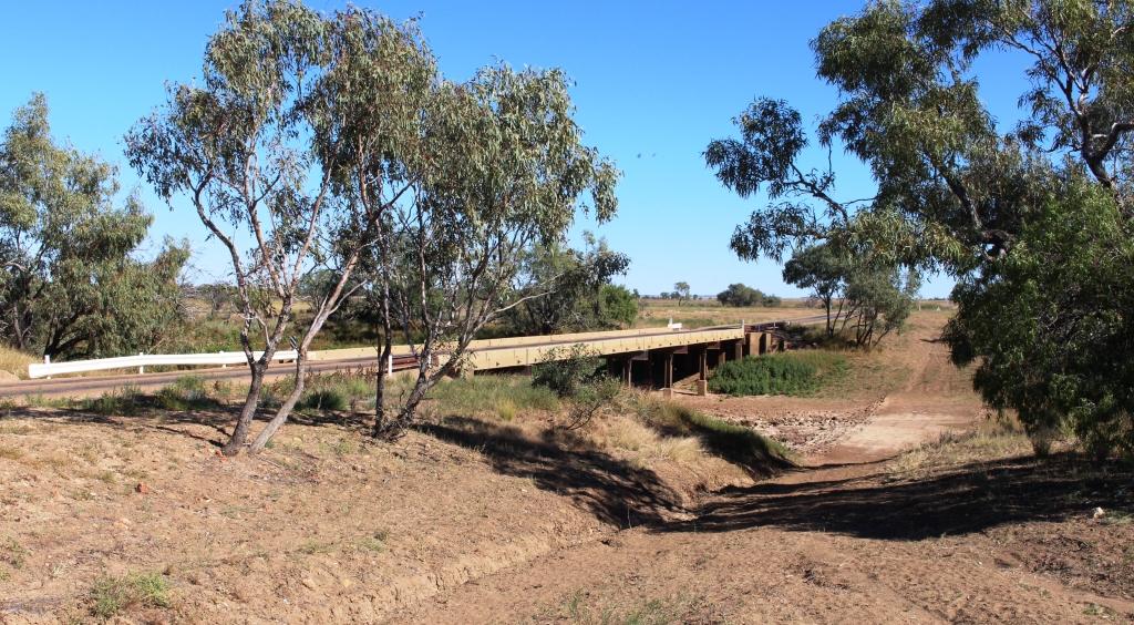
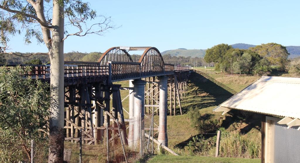
A bridge over one of the channels of the Georgina River
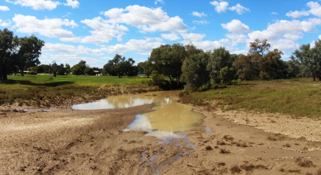
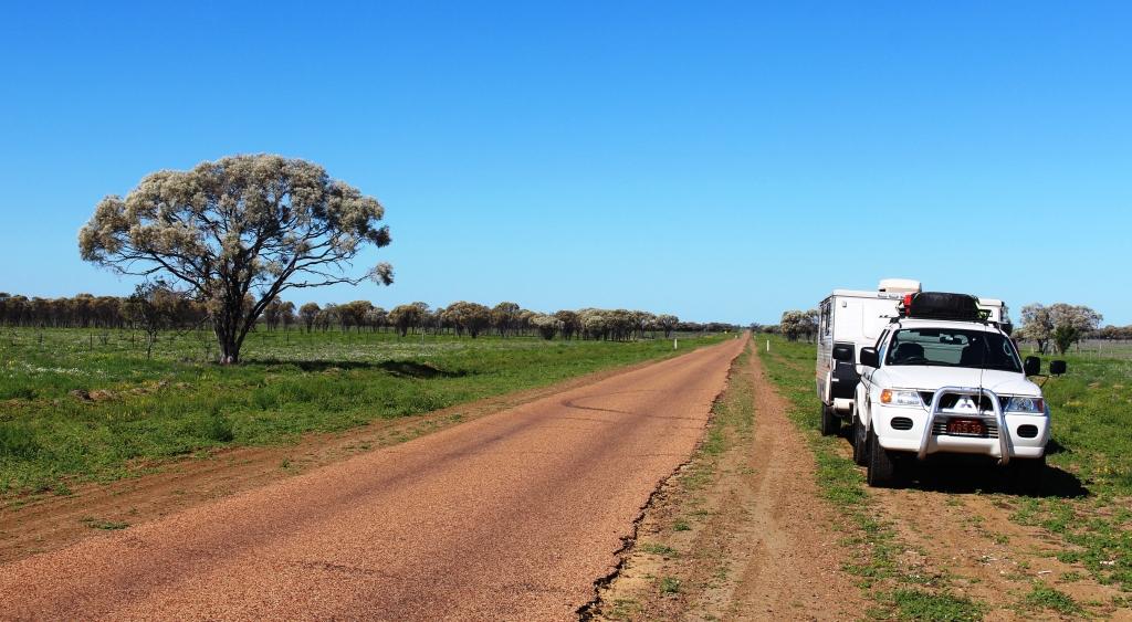
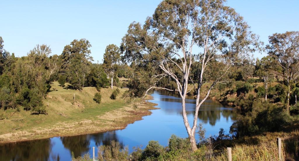
The terrain between Boulia and Birdsville is flat, with few hills. It is the quintessential land of rolling plains. A little less than half way to Bedourie we crossed the Georgina River, which with the Diamantina, drains the north west area of Queensland, ultimately running into Lake Eyre. For most of the way to Bedourie the river and its flood plains were to our left, a never ending swathe of green, mostly treeless plain but with the normal growth of trees along the river.

The marker for the Tropic of Capricorn sits by the road where it crosses a treeless plain
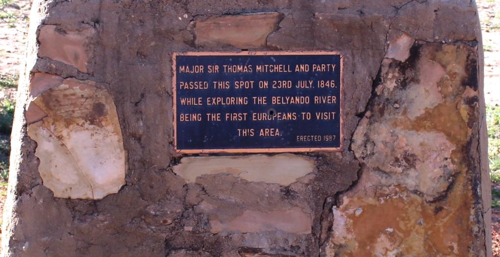
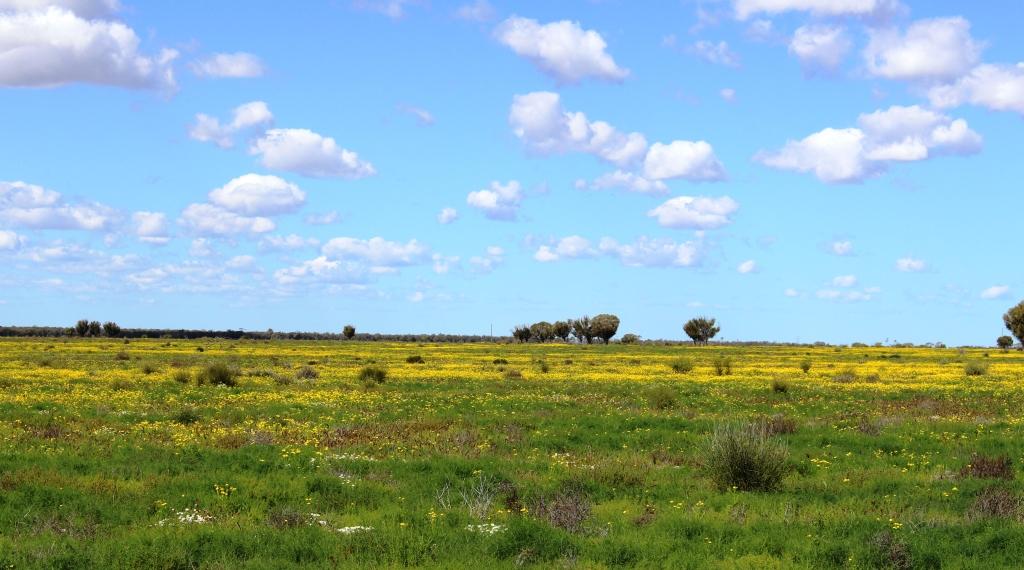
I mentioned a post or two ago about explorer Major Sir Thomas Mitchell and his exploration of the area. One of his discoveries was vast areas of treeless plains covered with natural grasses. The most prominent of the grasses was named in his honour, Mitchell grass. The plains over which we were driving are Mitchell grass plains. This type of treeless country accounts for about 14% of Queensland’s land area.
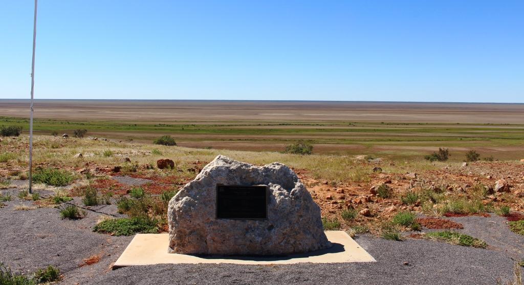
The official marker for the Vaughan Johnson Lookout overlooks Diaimantina flood plains
On the border between Boulia and Diamantina Shires (Diamantina Shire is based on Bedourie), right by the road, is the most prominent hill of the trip. At the summit the councils have built a rest and information area. It is named after and was opened by Hon. Vaughan Johnson, now retired, but a long time member for the Queensland state seat of Gregory and a former government minister.
The steep climb to the lookout
I don’t want to over work the word but the view is magnificent. Through an arc of about 270 degrees the view is over flood plains, now green from recent rain. From this vantage point it is easy to believe that this area was once an inland sea. Equally interesting are the six double sided information boards that provide historical and environmental information. In a protective cage a piece of road building equipment used on the original road is now on display.
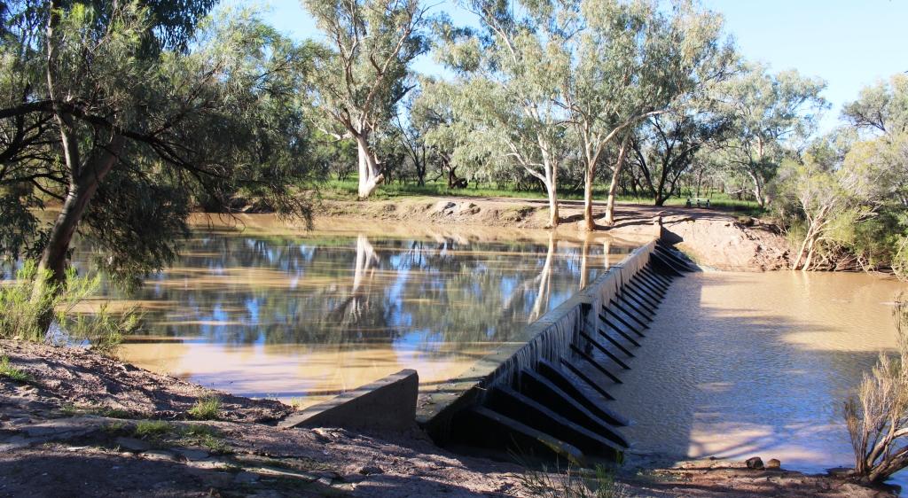
The old causeway over King Creek south of Bedourie
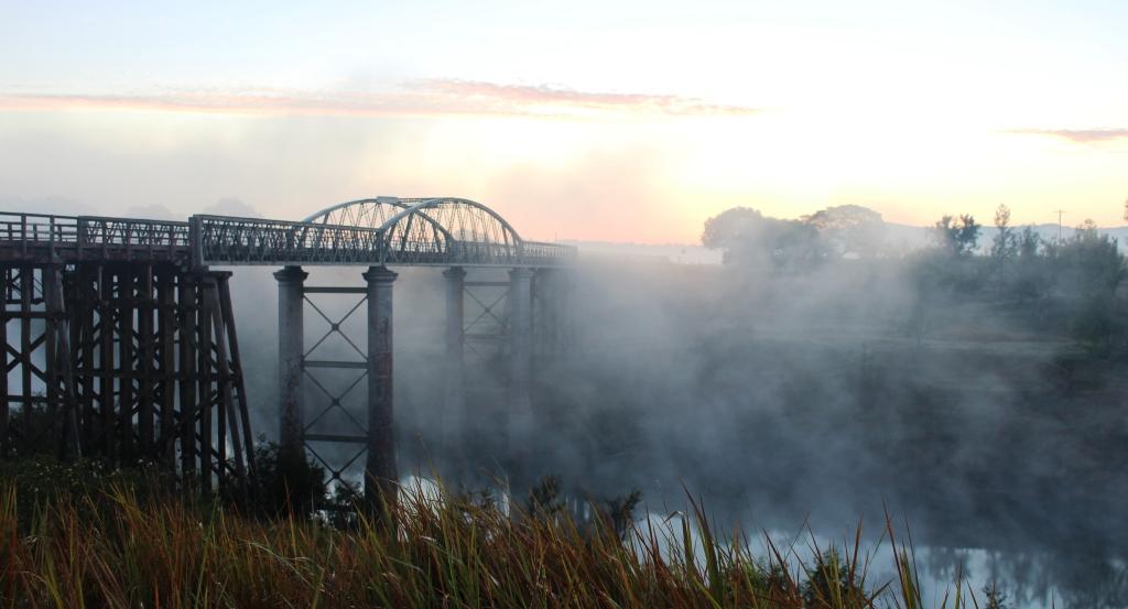
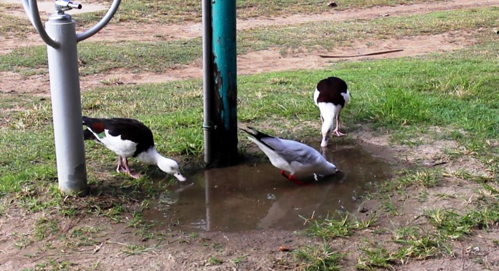
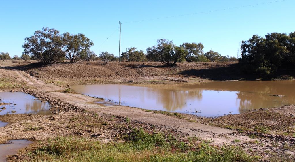
Bedourie is partially surrounded by Eyre Creek, a waterway that follows the road that we were on, now the Eyre Developmental Road, for some distance. A variety of water birds can be sighted at Cuttaburra Waterhole beside the road. The stream finally crosses the road for the last time, a little further south at Cuttaburra Crossing, before heading through a couple of lakes and into the desert, to then run south again to its final destination at Lake Eyre.

The main channel of Eyre at Cutta Burra crossing
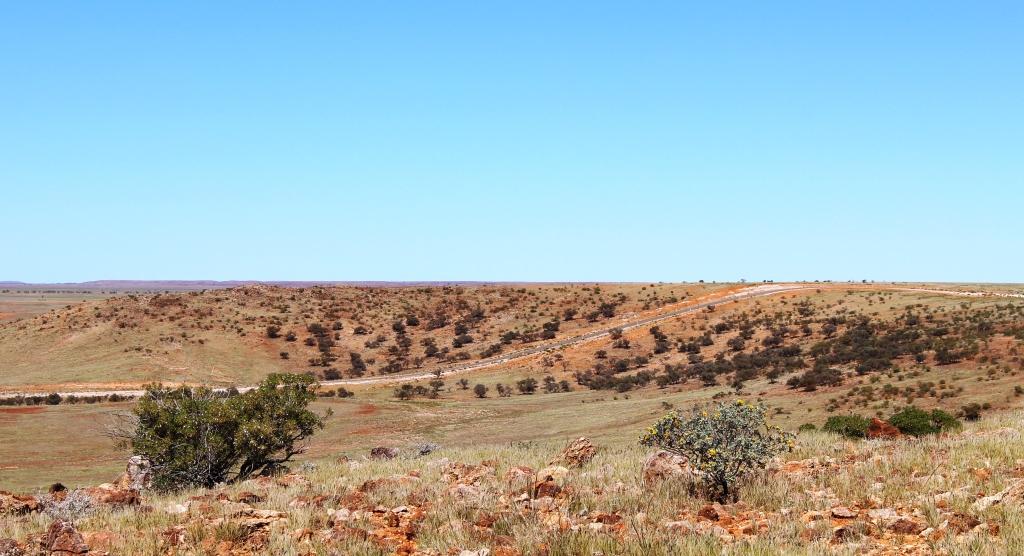
Diamantina Shire describes its municipality as “Where the Desert Meets the Channel Country”. This is an apt description. The further south the less frequent the lush green of newly growing grass and the more frequent becomes the expenses of red gravel, sand and clay patches and the scrubby salt bush type vegetation that dominates in these regions. And then, of course, there is the increased frequency of sand dunes, partially covered with vegetation, that stretch from one horizon to the other.
The sealed road crosses a sand dune south of Bedourie
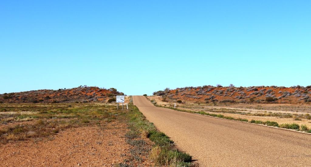
The road was good. There is now only eight kilometres of unsealed road north of Bedourie and a bit less than 80 kilometres between Bedourie and Birdsville. The unsealed sections were in good condition. Our lower than normal average speed was the result of frequent stops to take photos rather than the condition of the road.

The road over Eyre Creek at Glengyle Crossing

Lush vegetation on the flood plains of the Diamantina
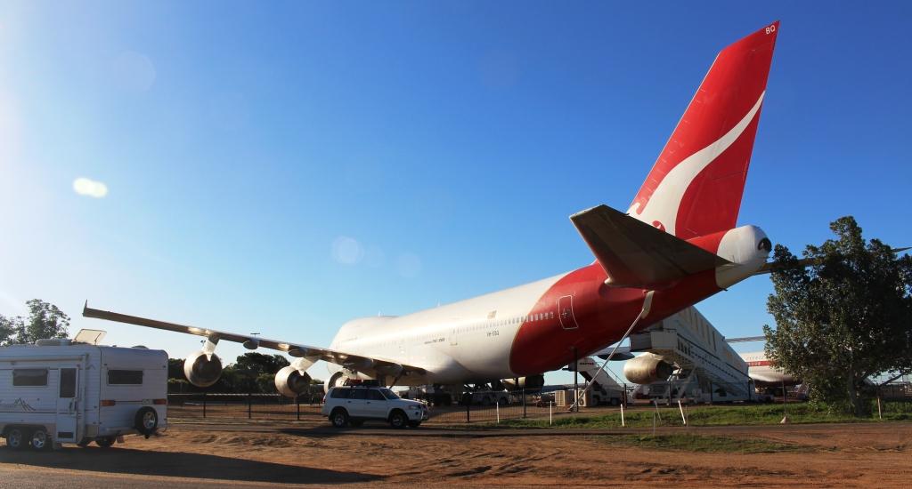
Birdsville, on our arrival, seemed to be full of motor bikes. They were roaring around the streets and the caravan park most of the afternoon. It seems that some groups of bikers are crossing the Simpson Desert and have all arrived in town at once.
This morning, at Bedourie, in our caravan park, I spoke to one motor cyclist involved with a group raising funds for Sudden Infant Death Syndrome (SIDS for Kids). They have two groups crossing the continent from Cape Byron in NSW to Steep Point in WA. Some will cross the Simpson Desert but others will get to Alice Springs via the Donohue and Plenty Highways. They will join up to proceed to Uluru and then cross the Great Central Road and ultimately reach Steep Point, the most westerly point in WA. Challenging stuff! They had already raised about $65,000 as they reached Birdsville