Having heard forecasts of hot weather in Sydney, we packed to leave Katoomba with some reluctance. We had a very straightforward run down the mountain, stopping for coffee just past Penrith and reaching the Lane Cove River Tourist Park at about lunch time.
It was hot, so it was not long until the air conditioner was operating and with the assistance of a fan to circulate the air and comfort was restored.
We had an early start on Thursday to meet Karen’s flight, which arrived at about 6.30 am. Karen is staying with Briony while we are in Sydney, so a North Ryde to Erskineville commute is a daily routine. Briony is working and Karen has some commitments but we are able to spend some valuable time together.
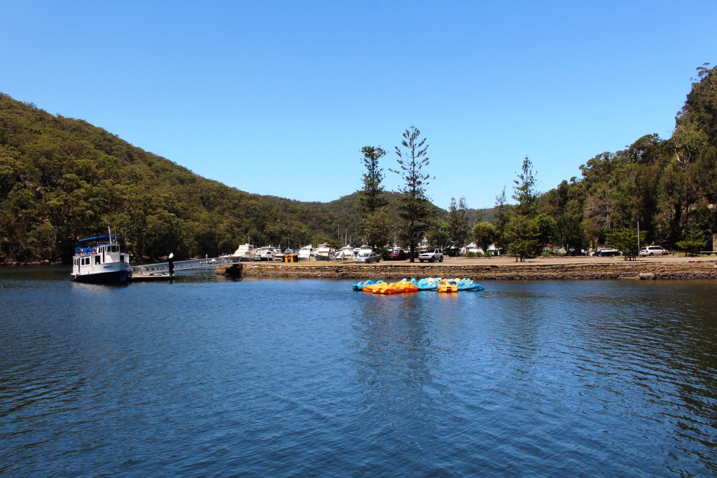
Pleasure boats at Bobbin Head.
On Friday we had a few spare hours in the middle of the day so we took Karen for a picnic at Bobbin Head in the Ku-Ring-gai Chase National Park. On Saturday we (all four of us) commenced our day with brunch at the Sydney Fish Market and then drove out to the home of Ruth’s youngest sister at Mt. Annan for a family gathering. We all eat far too much food but a great time was enjoyed. Much catching up with folk who we do not see very often.
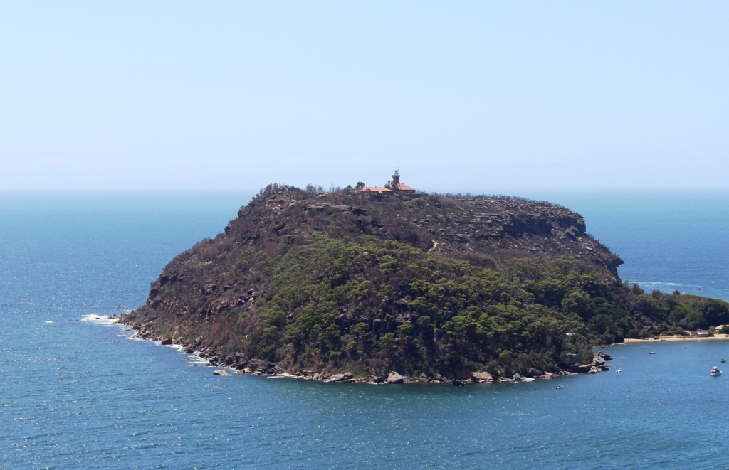
Barrenjoey Head at the mouth of the Hawkesbury River.
The mouth of the Hawkesbury River.
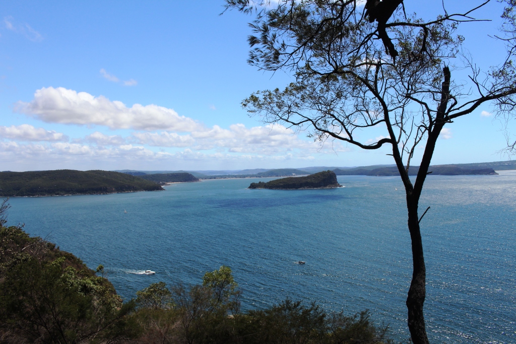
Ruth and I had the day to ourselves on Sunday. We used it to continue our visit to Ku-Ring-Gai, driving out to West Head where magnificent views of Palm Beach, Barrenjoey Head, Lion Island and the extensive waters of Pittwater and the mouth of the Hawkesbury River are laid out like a diorama. Over thirty years ago, during a short term posting to Sydney, we owned a small yacht

Palm Beach and Pittwater.
that we kept on Pittwater, so these waters were our regular weekend playground. The views brought back very pleasant memories.
We later drove along the Northern Beaches as far as Avalon where we found a pleasant small restaurant for lunch. We returned to the caravan via Dee Why. It was in this beach side suburb that Ruth spent her teenage years, so there was a certain nostalgia during this part of the drive.
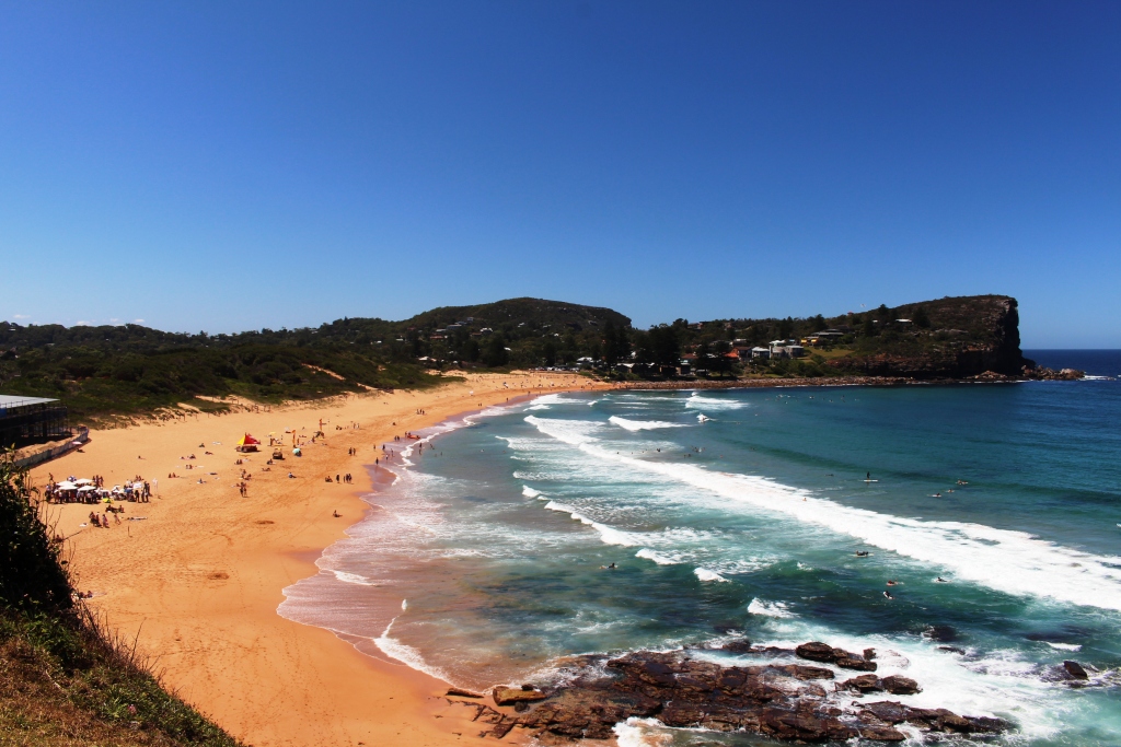
Avalon Beach
Monday was Briony’s birthday. It was a work day for her, so we met her after work at the Red Lantern on Crown, a trendy Vietnamese Restaurant in now fashionable suburb Redfern. The restaurant is operated by TV chef Luke Nguyen, who I had never heard of before, but who everyone else seems to know. Briony is a confirmed “foodie” and had sought out the venue with great care. She had chosen the tasting menu. The food was superb.
Tuesday was our last day in Sydney. It was a cool day and raining. Karen was moving on to stay with friends in Sydney so we spent some time with her in the shelter of a shopping mall before returning to the van to start to pack for our departure the next day. That evening we made our last trip to Erskineville where we had a meal with Briony before saying our farewells and returning to North Ryde. We had spent a very pleasant and happy week with our two daughters who we see together so infrequently.
On Wednesday, still in the family theme, we have come north to Shoal Bay on Port Stephens to spend three days with my elder brother Ivan and his wife Marjorie. They are Novocastrians, so have had only a short journey to reach the Shoal Bay Tourist Park. Their van is parked right next door so coffee and chats are easy and convenient. We will be seeing the sights while here so normal blogging will resume.