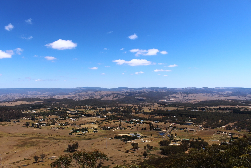
I have wondered for years what is in the Megalong Valley. The answer is – not much!
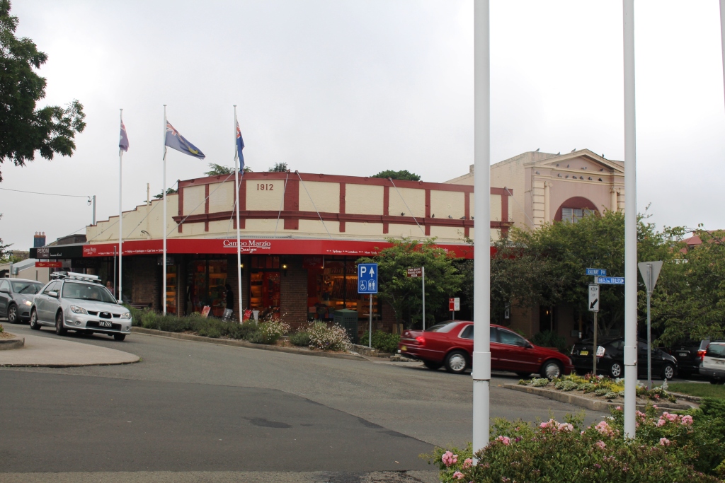
We started the day with a visit to the business district of Katoomba to collect mail and do some shopping. That done, we packed lunch and headed back to Blackheath, from where the road descends into the Megalong Valley.
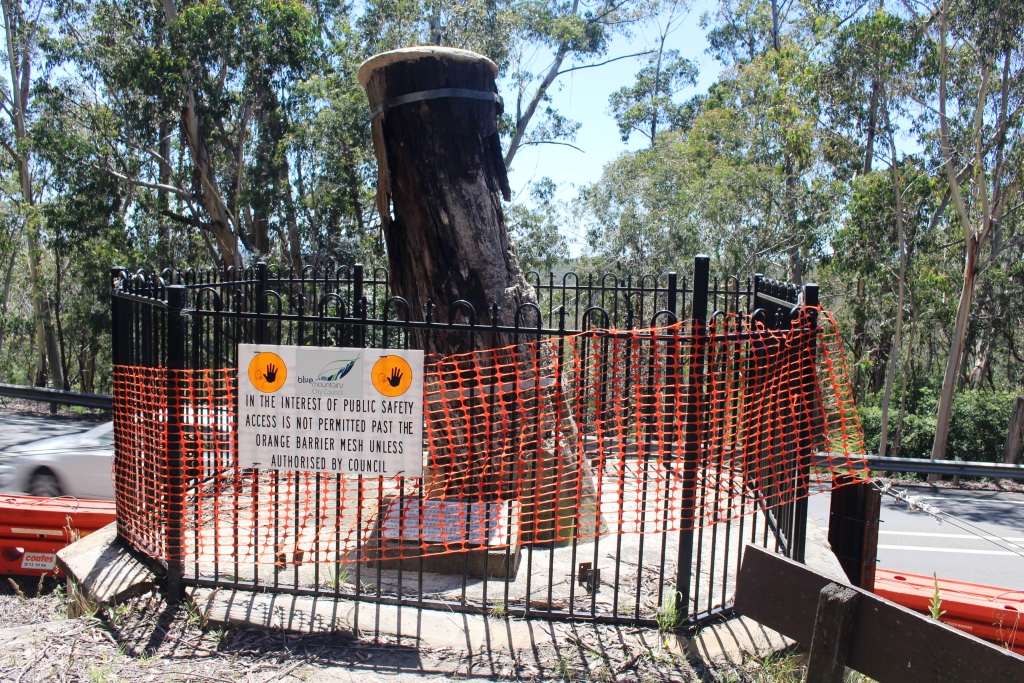
The historic Explorers Tree
On the way we made a call at a historic site known as the Explorers Tree. As the photograph shows, the tree is now a stump, but it’s significance is that it was marked by explorers Lawson, Blaxland and Wentworth in their first crossing of the Blue Mountains. Obviously it needs some TLC.
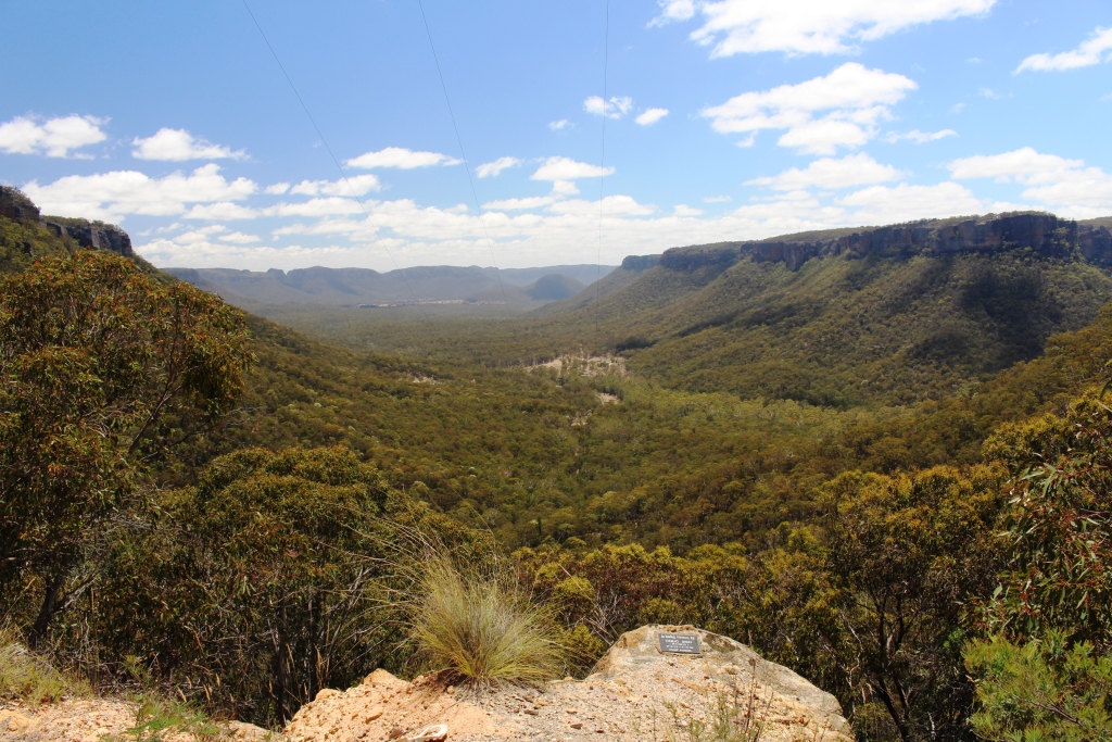
Eight kilometres of sealed, narrow and winding two way road leads to the tiny town of Megalong and for a surprising distance beyond, given that it leads to a dead end.
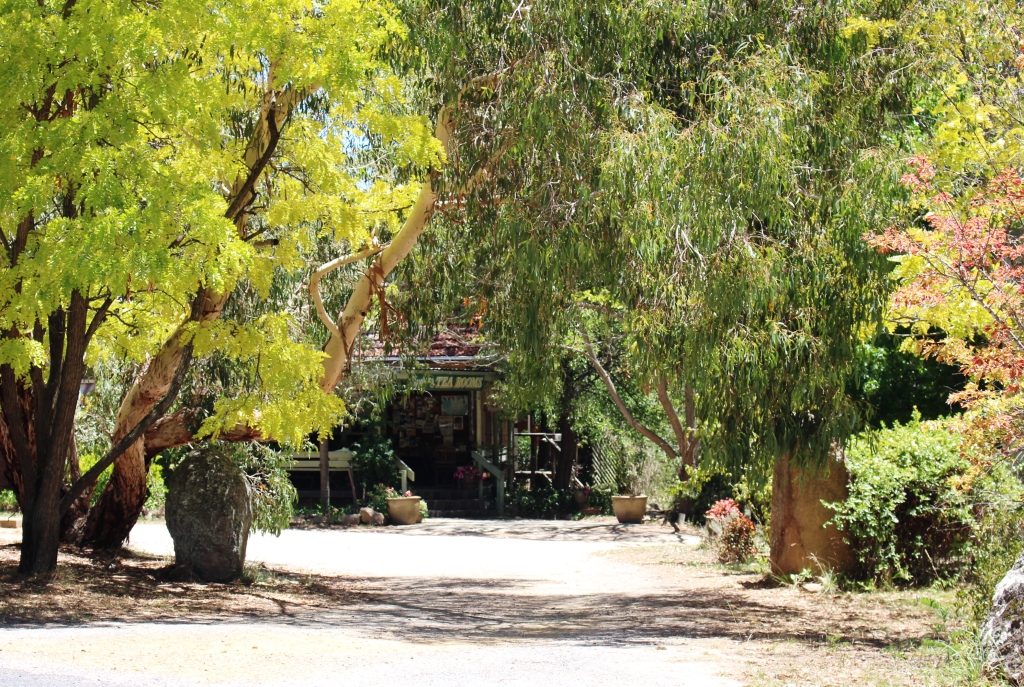
Shady café in Megalong.
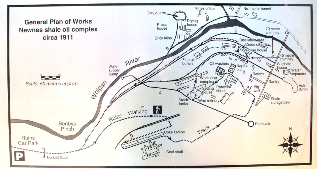
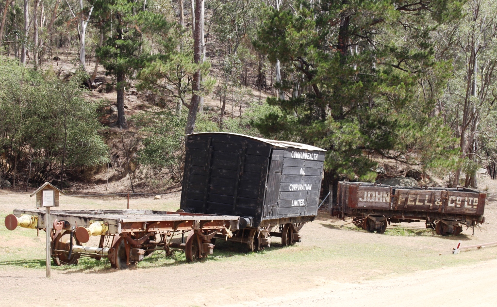
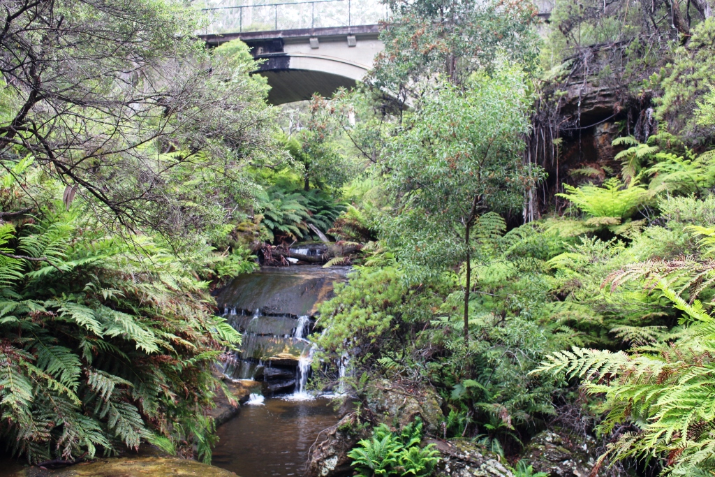
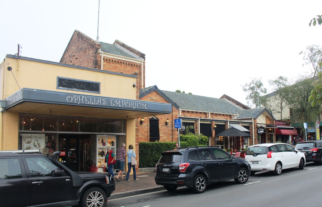
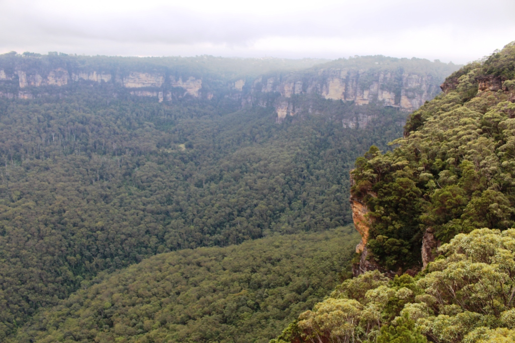
The Megalong Valley is another area of former shale mining, but that was long ago and there are no obvious signs of it today. The area is mostly rural with a little tourist activity. There are a couple of horse trail riding operations and a surprisingly successful cafe/restaurant, judging by the number of laughing and chattering people seated at tables beneath shady trees. Through the town are
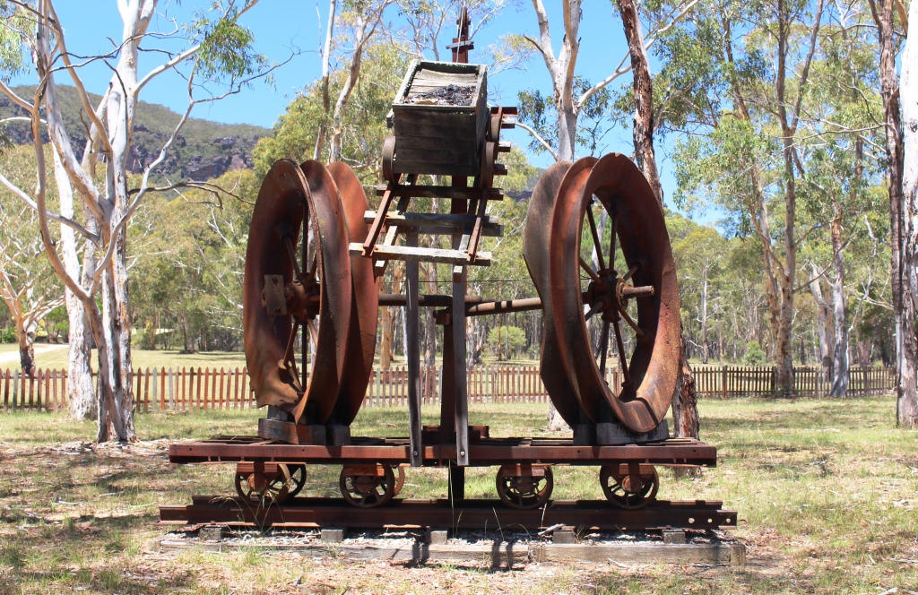
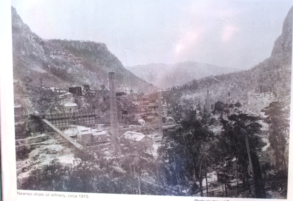
Shale mining memorabilia.
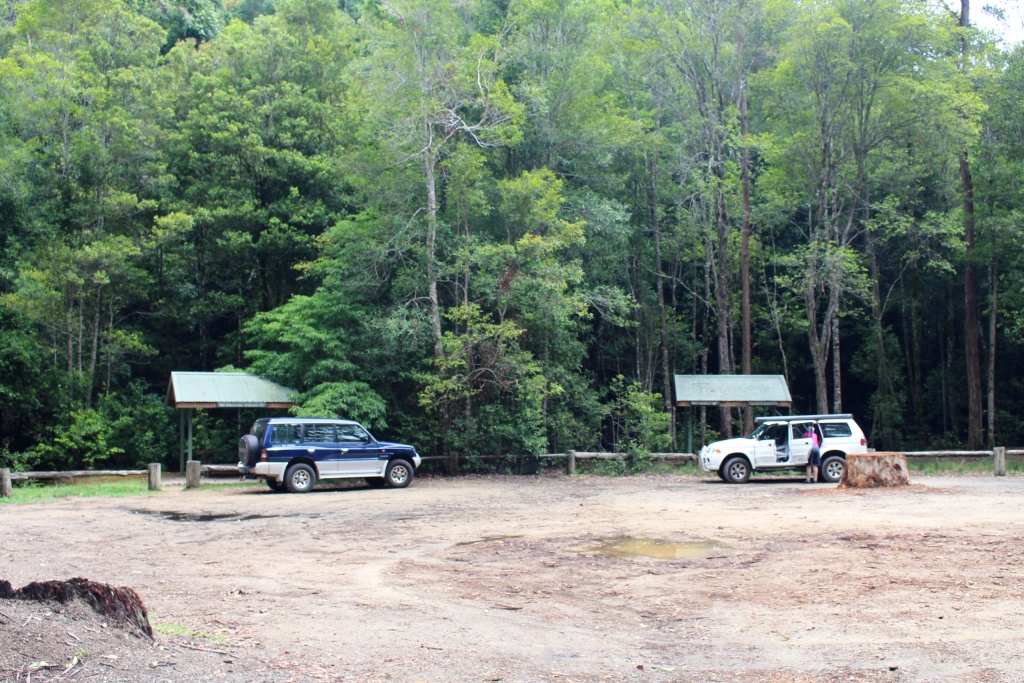
at least three free camp areas with toilets provided, which seem to be favoured by motor homes.
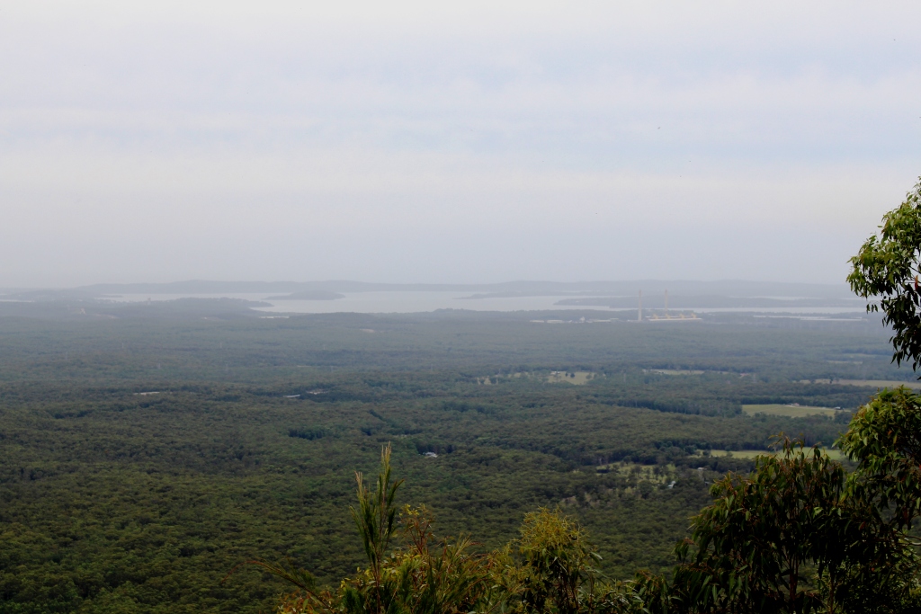
Back at the top of the mountain we turned left to visit Hargreaves Lookout and in so doing drove through the Shipley Plateau area that the tourist brochure claimed to be worth visiting for the orchards there. Obviously the material was written a long time ago and no one has bothered to update it. There is really nothing to see. Prominent signs lead to one apple orchard that clearly has been closed for years.
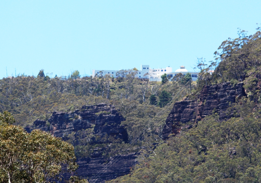
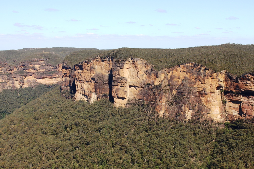
The Hydro Majestic Hotel at Medlow Bath from the Megalong Valley.
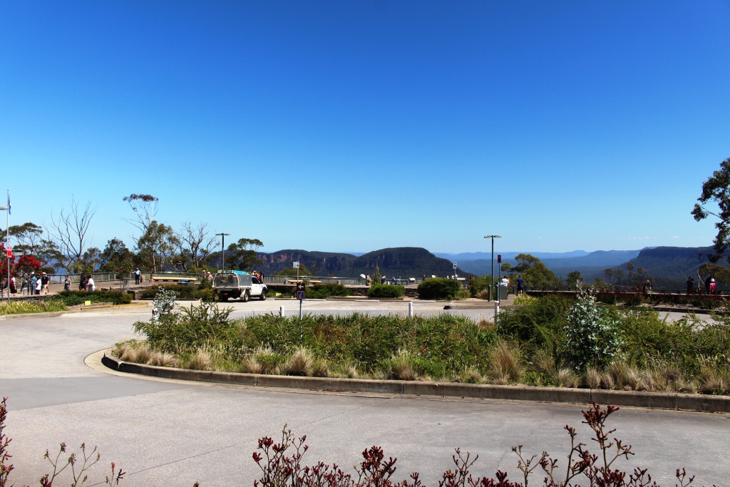
Viewing area at Echo Point.
So, feeling that we had given the Blue Mountains a pretty good going over we came back to Echo Point to once again view the Three Sisters. We had one of the clearest views possible on what was a near perfect summer afternoon. And, unlike most other sisters that I know, they do not look a day older. On the way back to the van we took the short stroll
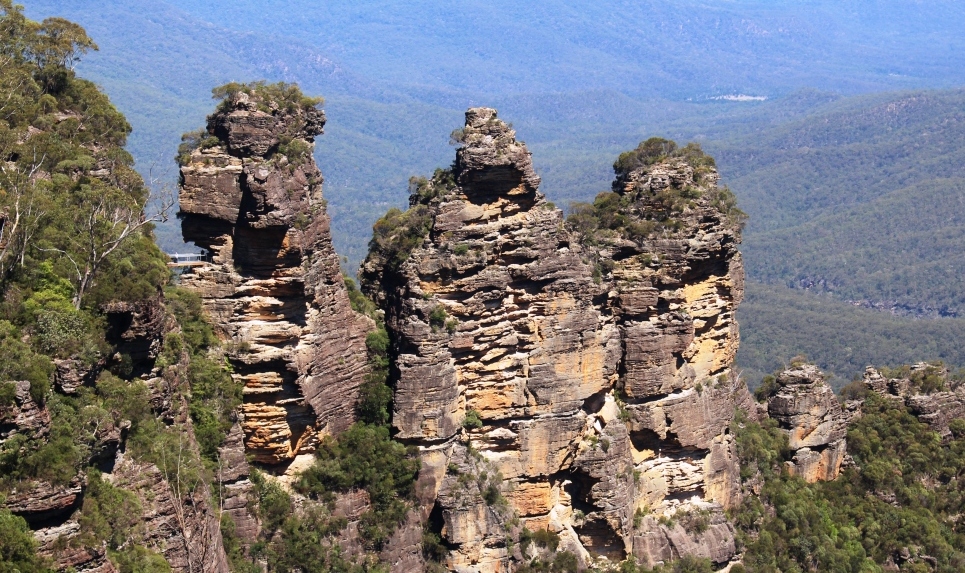
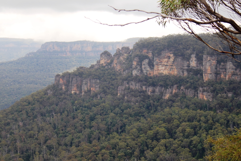
Classic view of the Three Sisters.
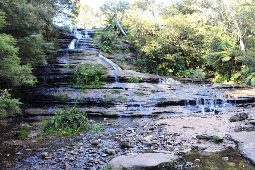
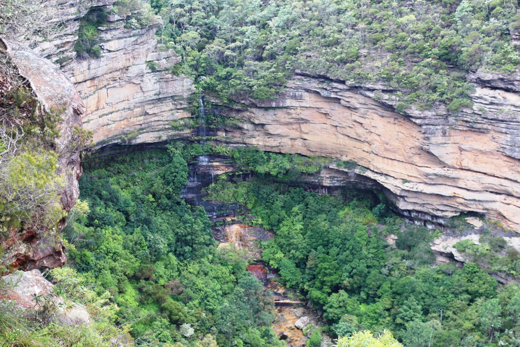
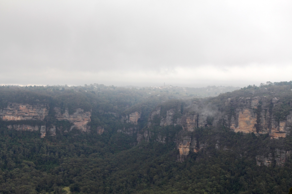
to Cliff Lookout where we had excellent views of the Skyway, Scenic Railway and the newer cable way that also runs to the valley floor. We also saw where Katoomba Creek plunges into the valley from a different view point and Ruth caught a glimpse of Katoomba Falls.
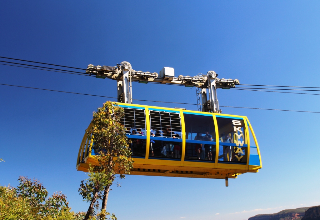
The Skyway car passed over on our walk.
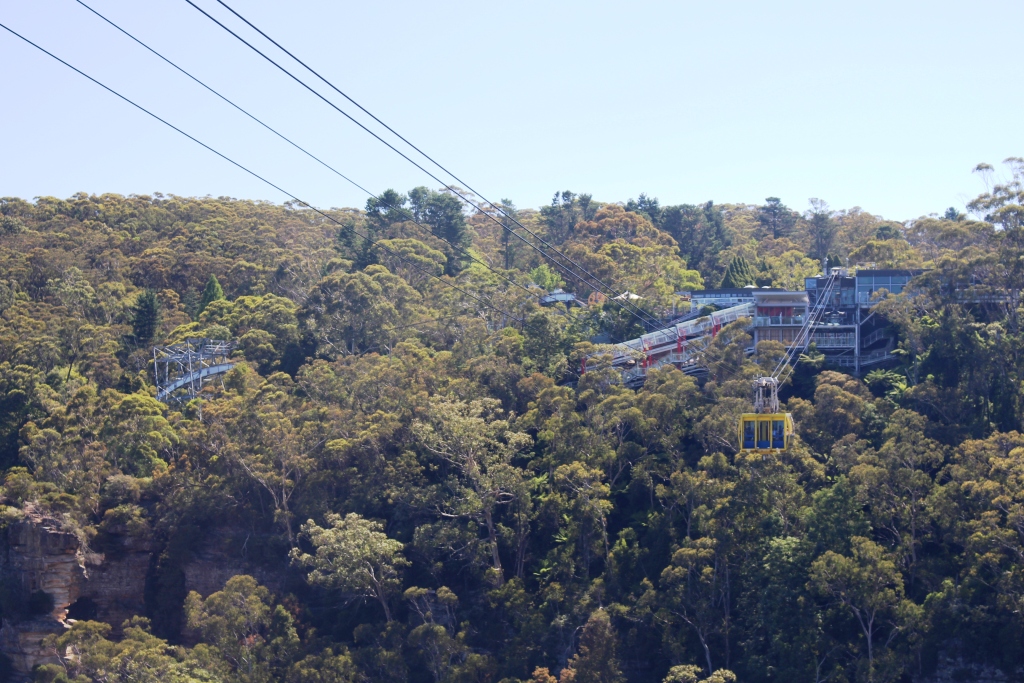
The complex at Scenic World
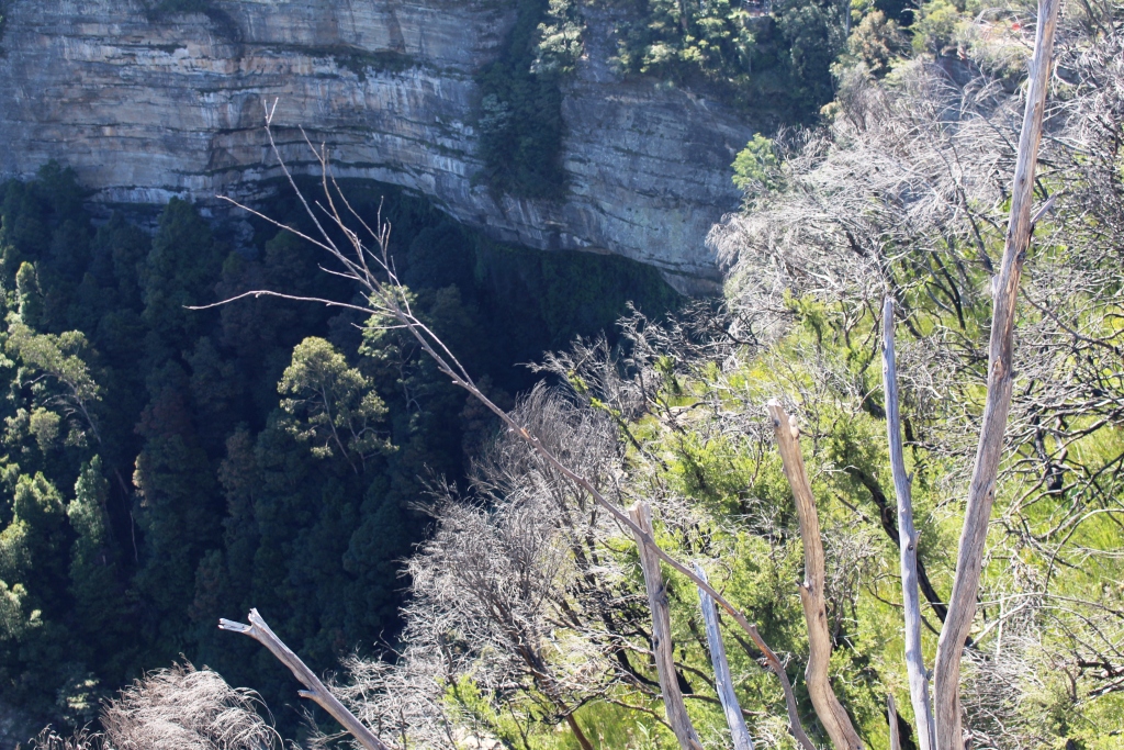
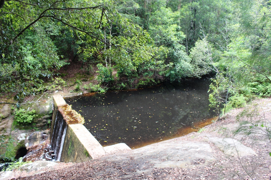
Where Katoomba Creek takes its final plunge.
This visit to the Blue Mountains has been mainly about looking at iconic tourist sites. I would like to return for long enough to do some of the many walks, particularly those that run along cliff tops or descend into the valleys.
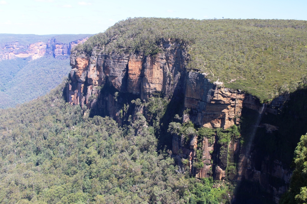
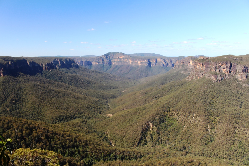
And where are the best mountain views? Govett’s Leap, without a doubt!