Interrupted Journey – North Queensland 2022 – Part 5

Dinosaurs and Brolga

Note: A video link appears at the bottom of this blog post.

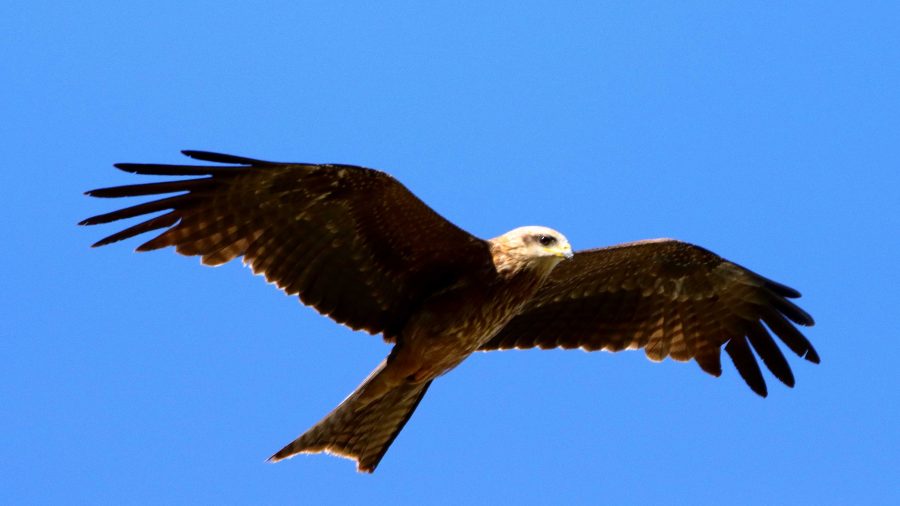
A gliding Black Kite.

All along the highway from about Blackall, roadkill was attended by birds that I thought were a type of Kite and black Crows. Once I got a photo, I was able to identify them as Black Kites. Their appearance and behaviour, such as their swooping flight and that they were in flocks. I posted about Plumed Whistling Ducks and Crested Pigeons in the previous post. So that’s it for Birds at Longreach.

We departed Longreach early to reach Winton in good time as we had a drive of about two and a half hours after Winton, to reach our overnight stop at Hughenden.

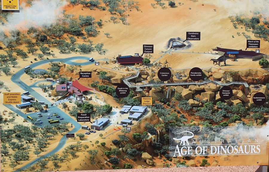
Australian Age of Dinosaurs layout. Entrance road is in the lower left hand corner.
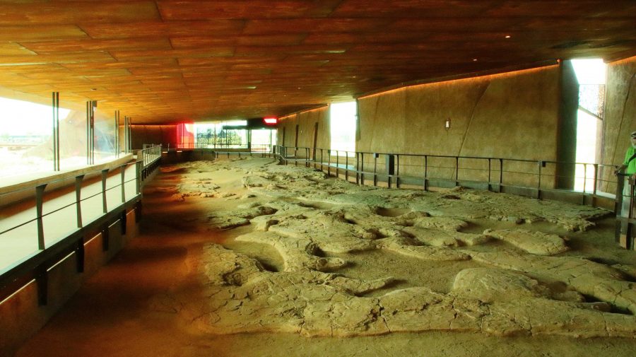
The Dinosaur footprints, recovered from swamp country and reinstalled in a temperature controlled building for display and preservation.

The location of The Australian Age of Dinosaurs is on the Longreach side of Winton, so that helped. Part of the success of this attraction is the brilliant sighting on top of a jump up. The top is quite flat, probably a couple of hundred metres above the grassy plains of the grazing area. Huge rocks have broken away around the edge and moved a short distance to where they have become stable. All of the buildings are on the plateau, but some displays have been built on and among those huge rocks around the plateau rim.

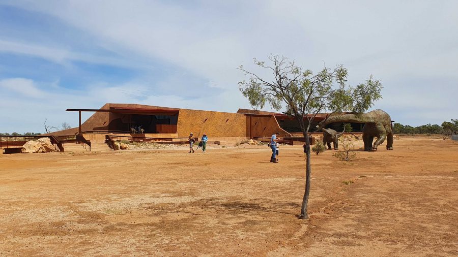
March of the Titanosaurs Building where the footprints are displayed.

We arrived about an hour ahead of our tour and presented ourselves at reception. We were given an earlier tour start. The session required a short trip on a shuttle to the Dinosaur Canyon Outpost. This part is relatively new. It is in a large fully enclosed building into which has been moved a large area of fossilised rock that was found in the lower country. It is part of an ancient swamp where Dinosaur footprints of various sizes have been frozen in time. The guide points out some differences between the footprints and what it is thought the creatures were doing at the time.

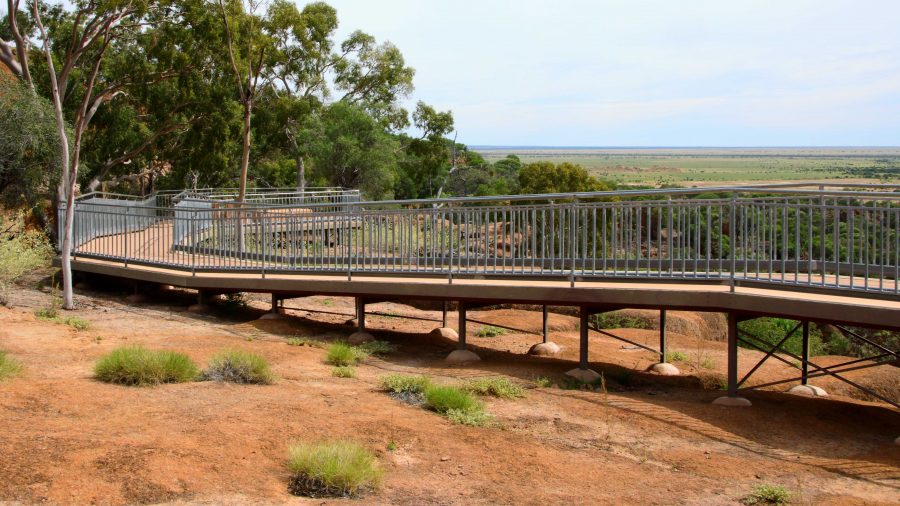
A board walk extends to the Dinosaur Canyon Walk.
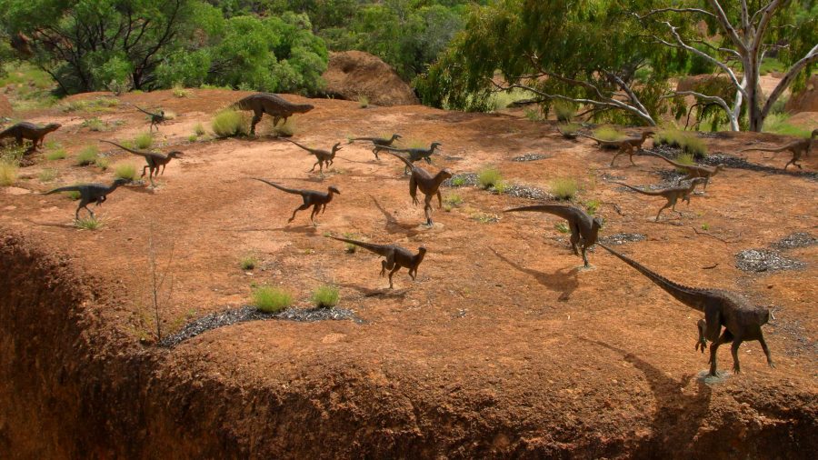
A diorama of Dinosaurs in stampede mode.
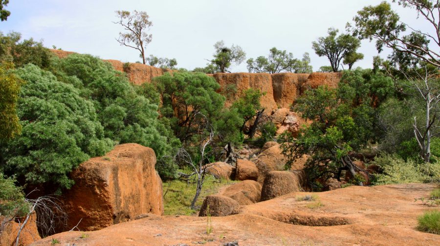
Tumbled boulders at the edge of the Jump Up.

The displays that have been built among the rocks on the side of the jump up, are in this area.

About 50 km away on the Jundah Road south of Winton is the site of the dinosaur stampede. We saw it years ago and found it to be most interesting but inconvenient to get to, because of the condition of the road. So to have this display of similar footprints so easily accessible is a great convenience.

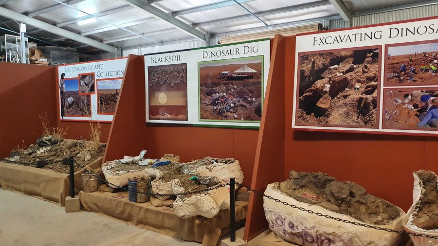
Digs, recovery of fossils and storage of fossils awaiting processing.

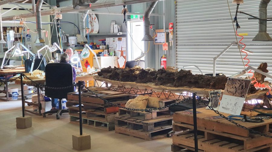
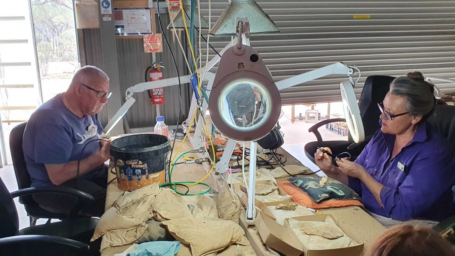
The next part of the tour required a drive or walk of about 500 metres to the laboratory, where the fossils are prepared for display or further research. We were taken through the detail if how digs for fossils are conducted and the fossils secured and brought back for further processing so that the item can be positively identified. Finally we watched as the workers used a variety of tools to remove foreign material without causing damage to the fossil.

Work in progress
Two volunteers working to on fossils.
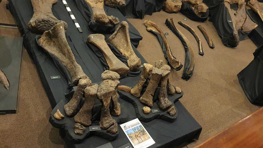
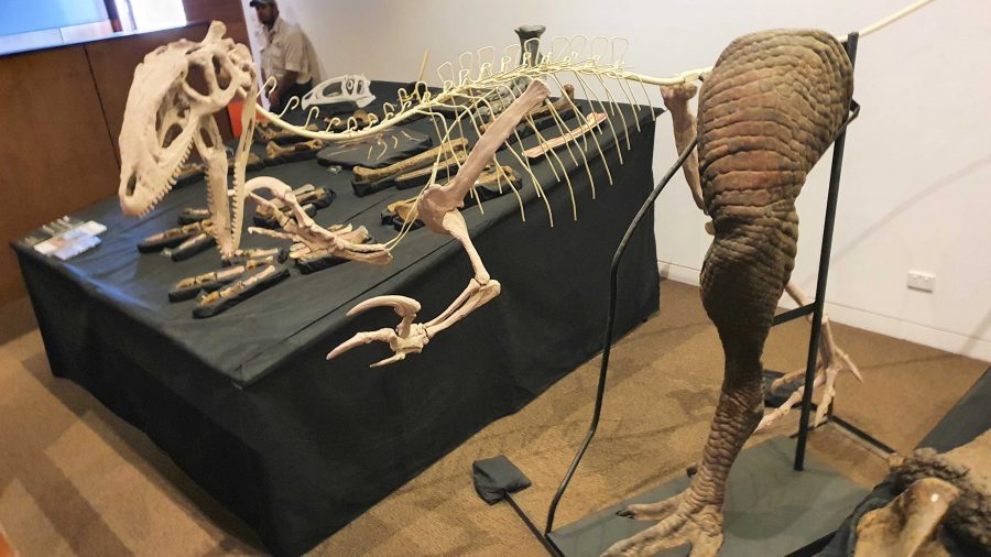
Recovered and restored fossils.

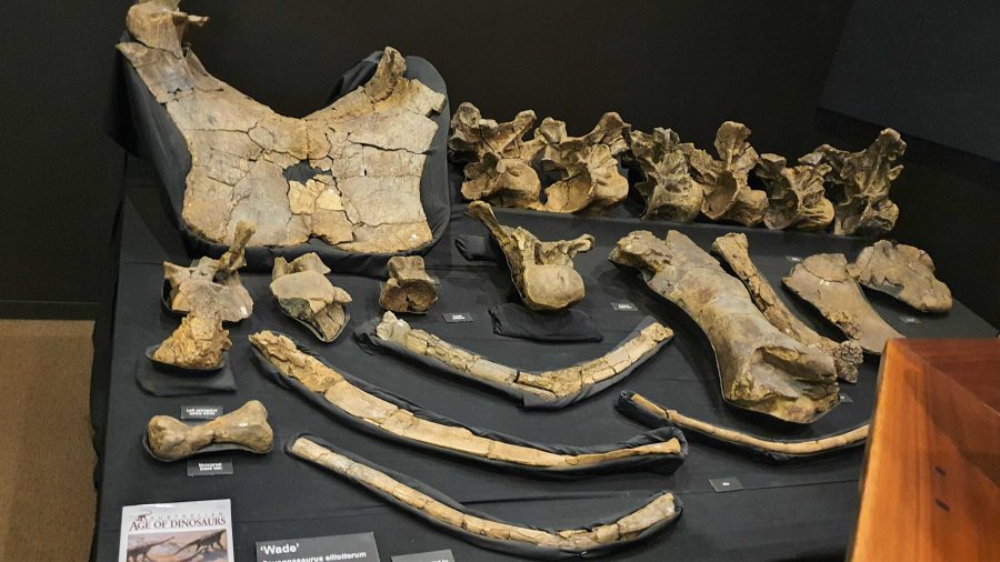
Finally, we returned to the museum at the main building for a presentation of how the finished fossils are used to recreate the original creature, or part of a creature, using genuine parts or parts fabricated to replace the missing bit. These are displayed as models, a leg for example, and in photographs or sketches. There is an interesting display of parts that don’t fit with anything else but are genuine.

More recovered and processed fossils.
An example of the use of fossilised parts to recreate a body part,

Since the café is in the same building as the museum, we had coffee and a sandwich and drove into Winton for a petrol refill at $2.02 per litre. But that now seems cheap compared to $2.15 that I saw on a pump at Redcliffe yesterday.

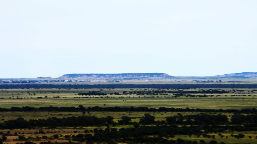
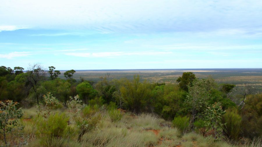
A view from the museum grounds of a distant jump up. Part of Winton about centre left, just below the skyline. The flat topped mountains are a feature of this part of Queensland.
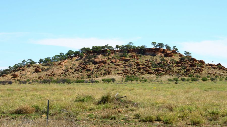
A typical small jump up or mesa in the area.
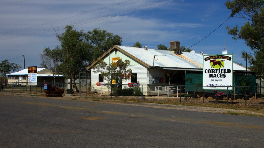
Corfield Hotel, currently closed.

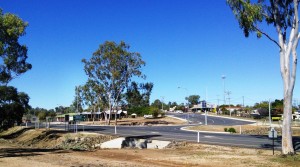
The drive to Hughenden is on sealed road except for the first 15 km that is currently a dirt side track running parallel with an almost completed new road. We stopped at the tiny town of Corfield for a break. This “town” boasted a pub and racetrack. The pub is now permanently closed but I am not sure about the racetrack. They used to conduct a “Corfield Cup” but a lot of those country events were cancelled during the Covid epidemic and have not restarted.

 There are no real towns along this road, just one other notable locality, Stamford that has a school.

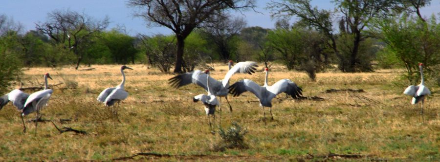
Brolga near Hughenden
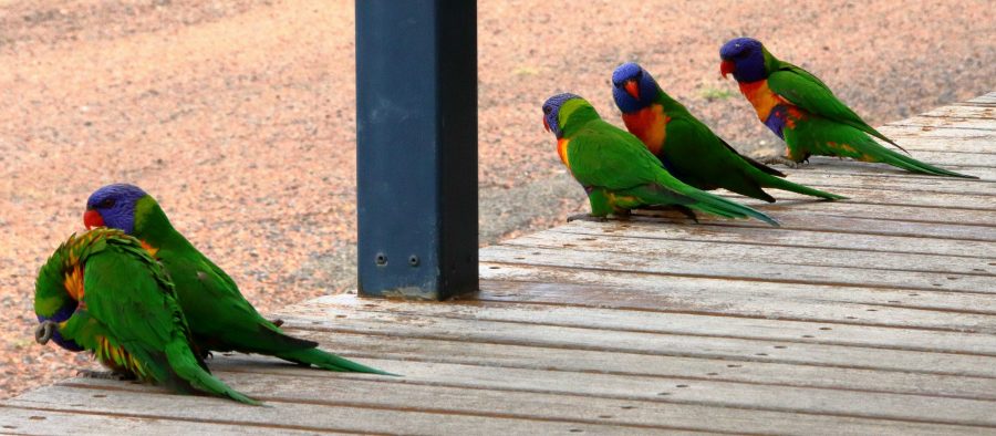
Rainbow Lorikeets on our door step at Hughenden.

About 30 km short of Hughenden, we came across a group of Brolga. The Brolga were in a paddock about 30 km south of our destination. I was separated from the Brolgas by a 4 strand well maintained barbed wire fence, when I took some photos. They kept moving away until I reached the fence. Then they turned around and looked at me. I wonder if they knew that I could not get through the fence.

On our arrival at the caravan park in Hughenden, our doorstep was taken up by Rainbow Lorikeets being fed by a resident. Most flew away but some stayed to see if there was more food on offer.

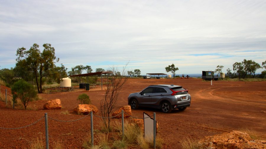
The area at the summit of Mt Walker. All lookouts are joined to the central area by gravel paths.
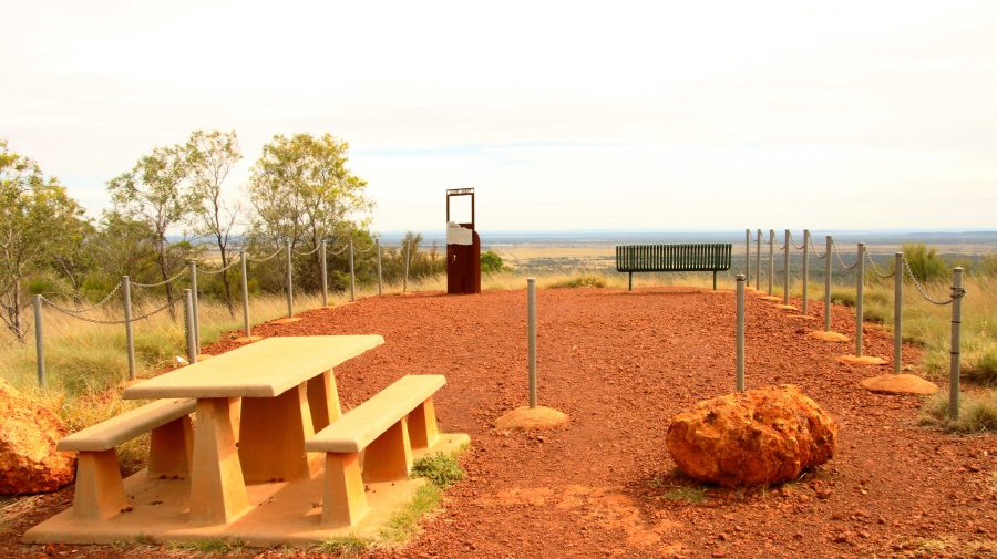
Lookout to the Southeast.

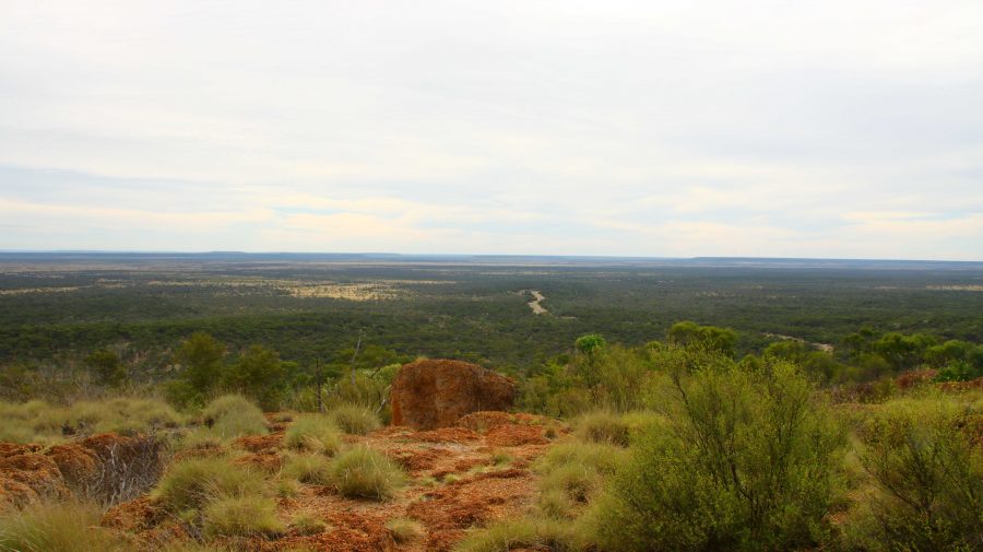
About 10 km south of Hughenden is Mount Walker, named in memory of the leader of an expedition to find Bourke & Wills. It is about 450 metres above sea level but stands well above the surrounding terrain. It is part of two adjoining stations, the owners of which combined with the local council to install a road and visitor facilities. There are about six lookouts that face in all directions, each one providing panoramic views. We made it our first call of the morning, before heading east.

View to the Northeast. The road to Hughenden can be seen below.
Tables and seats are scattered around the area.
White Mountain National Park near Torrens Creek

There are only small towns on this stretch of road, until we reached Charters Towers with its approximately 9,000 population. We did coffee at Torrens Creek and experienced the “excitement” of a 60-truck fertiliser train passing through.

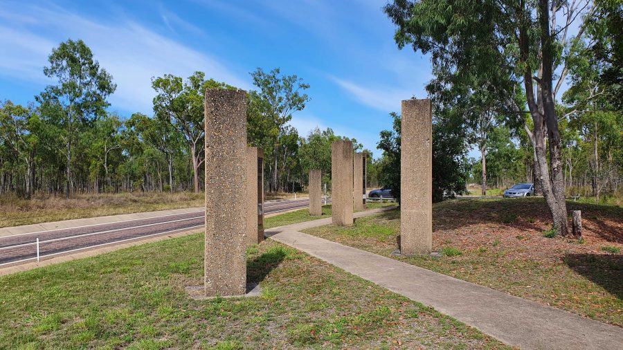
Memorial to the Completion of the Sealing of the Hervey Range Road.

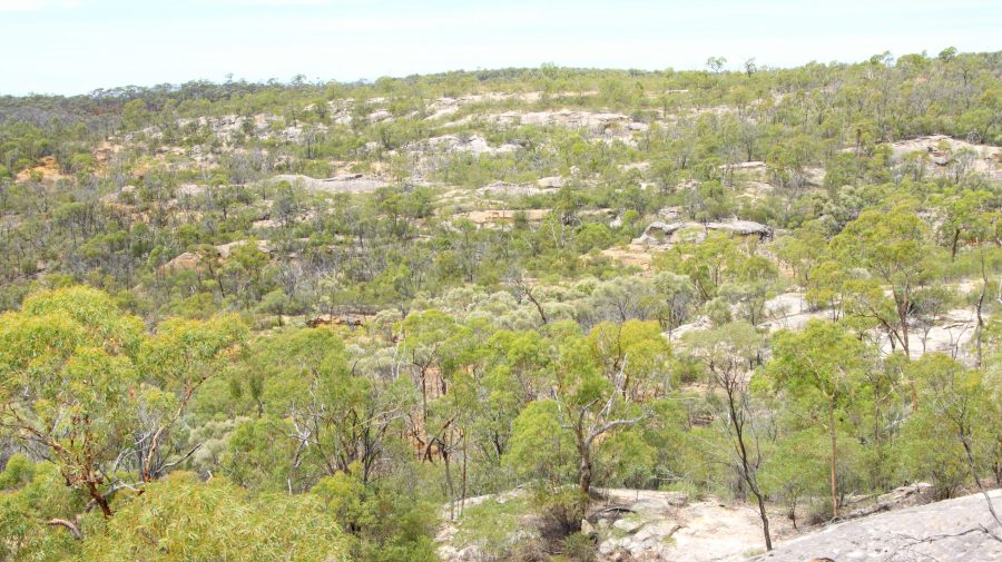
A geological feature of some note, the White Mountain National Park, is a further 30 km. You need a 4WD to get into the park but some of its signature white stone is visible from a rest stop by the highway.

We continued amid little traffic to Charters Towers, where we arrived at about 1 pm. It was pleasing to see petrol at around $1.70 per litre.

After a restful afternoon and evening, we left next morning for Townsville and the ferry terminal, but went the long way. We drove north-west on the Gregory Highway until we reached a place called Basalt, where we turned east into the Hervey Range Road. We stopped to see a memorial to the completion of sealing the road. Hervey Range Road is part of the network of “beef roads” that criss-cross Northwest Queensland. This one takes beef to the processing works at Townsville.

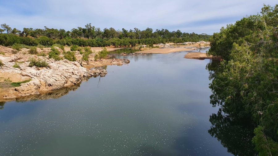
The Burdekin River upstream of the Hervey Range Road Crossing.
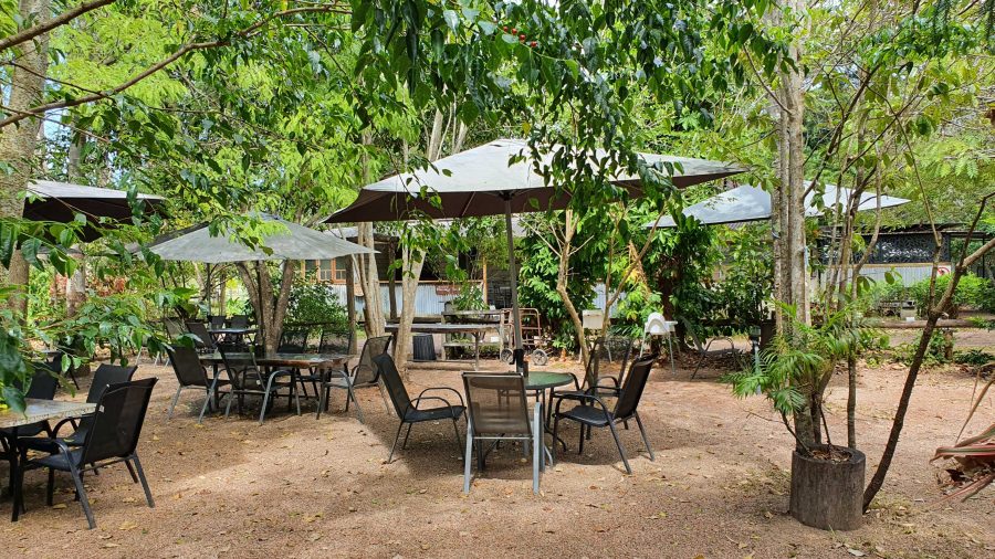
The Hervey Range Tea House without customers. A very present place to stop for a break, Wednesday to Sunday.
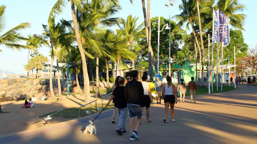
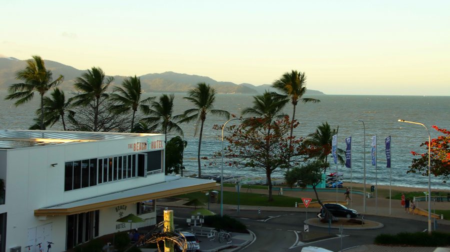
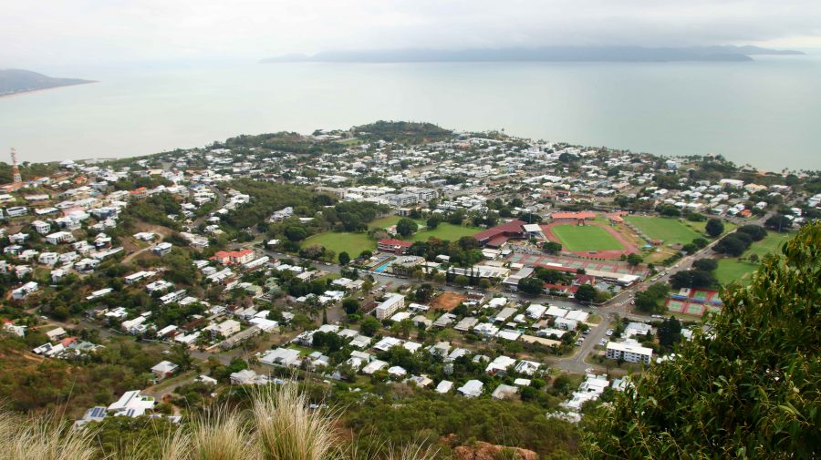
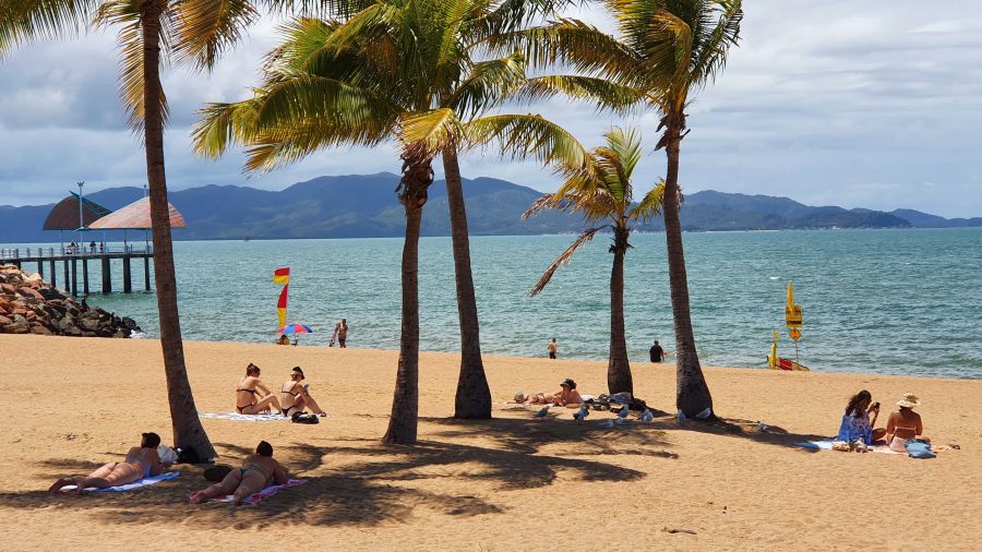
Ah! The Tropics! Beach goers relaxing on Townsville Beach.

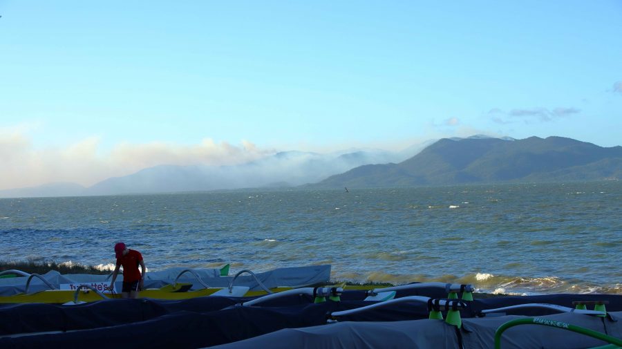
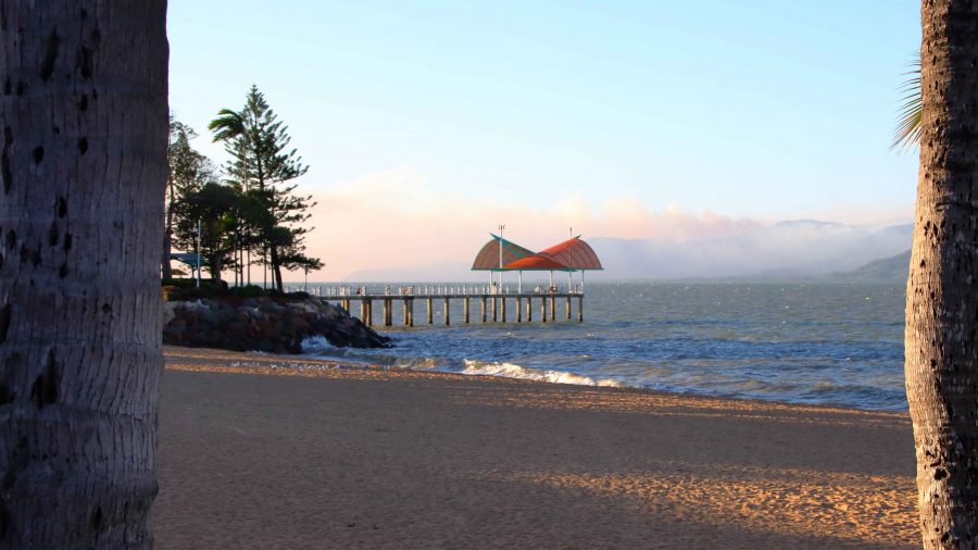
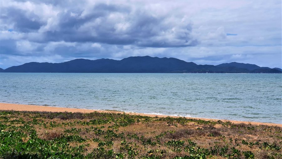
We then crossed the Burdekin River and stopped at the Hervey Range Tea House. The day was Monday, and this is a weekend drive location for Townsville residents. The tea house is closed on Mondays and Tuesdays, but we knew that. There were no coffee stops available until we reached the suburbs of Townsville. Topped up with coffee and with some time to fil in before the departure of the ferry, we found a parking space in The Esplanade where we were able to see Magnetic Island and enjoy the beach, fresh air and sunshine. We caught our ferry with time to spare,

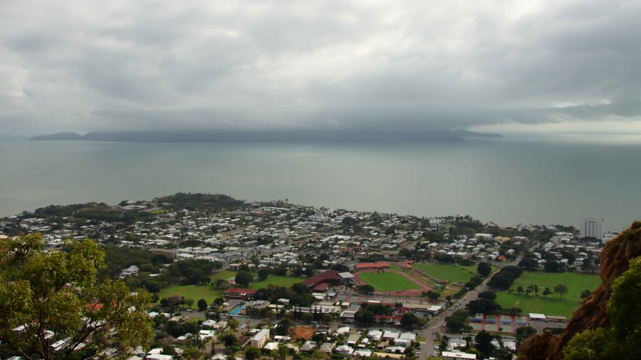
Magnetic Island from Townsville beach.

Days 34 to 37 – Cape York Adventure

We departed Kurrimine Beach on Saturday morning, needing to be home on the next Wednesday; with a little over 1,600 km to do via the coast and a bit more if we took the inland route. Inland won, as that gave us a chance to at least drive through the gem fields. We had intended to spend two or three days there.

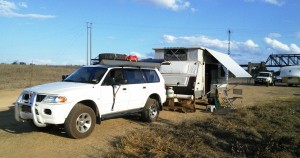
Ready for a quiet night

Ready for a quiet night

We left the Bruce Highway at Townsville and took the Flinders Highway, heading for Charters Towers. The revised plan was to spend the Saturday night at Macrossan Park on the east bank of an almost dry Burdekin River. Macrossan Park is a popular overnight stop, with flushing toilets and cold showers for the Spartan.

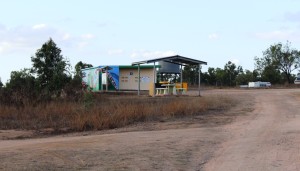
Information shelter and toilets at Macrossan Park

Information shelter and toilets at Macrossan Park

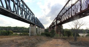
The camping area is between the highway and the railway, which is carried over the river by an impressive iron bridge. With the van set up for a comfortable night I went for a walk, to have a closer look at the rail bridge. Imagine my surprise when I found two rail bridges. It seems that many years ago the original iron bridge was replaced by a new bridge of similar design. The old one probably became unsafe, so a new bridge was built, just a few meters to the south. Once you know that the second bridge is there you see it straight away. But if you are expecting only one bridge then chances are that is what you will see, the structures are so similar.

[youtube]https://youtu.be/vfoHUPAXhUg[/youtube]

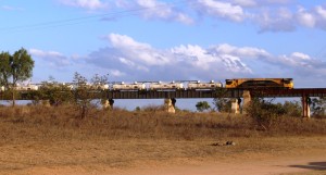
Fertiliser train approaching the main bridge

Fertiliser train approaching the main bridge

Queensland National obliged by sending a long fertiliser train over the bridge before dark and an other one after dark. There was at least one more during the night. The sun slid quietly behind the low range of hills that constitute the horizon, with a tinge of colour in the distant clouds which were rather a dark shade of grey. But the cloud

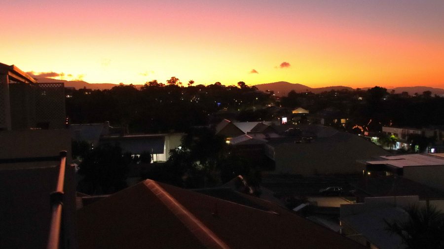
Tinges of sunset on the edge of storm clouds

Tinges of sunset on the edge of storm clouds

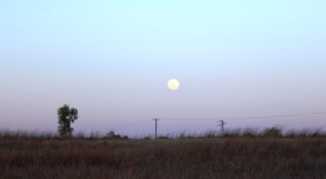
vanished westward with the sun and left us with a full moon rising into a clear sky.


A full moon commences its assent

A full moon commences its assent

Res, there really are two bridges

There really are two bridges

On Sunday morning, a short run brought us to Charters Towers, where we refueled for the run south through Belyando Crossing and Clermont to our next overnight stop. Quite early in the trip we started to see signs of recent reasonably heavy rain. There looked to have been enough rain to put a smile on local farmers’ faces. When we crossed the first range from the coast the previous day, we could see how dry it was. That amount of rain would at least have brought some relief for beleaguered farmers. It certainly explained the grey clouds on the horizon the previous evening.

The Gregory Developmental Road passes through a mix of flat and undulating grazing country on its way through Emerald to Springsure, where it becomes the Dawson Highway, but we were not going that far. We refueled at the Belyando Crossing Roadhouse and continued on into the coal mining area of Clermont where we turned onto minor

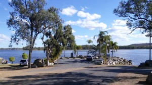
Theresa Creek Dam

Theresa Creek Dam

roads to reach the caravan park at Theresa Creek Dam, about 25 km to the south west of the town. We noticed that one long coal carrying conveyor that was working when we came through this area last year was now stationery, a victim of the slowdown in coal exports, probably.

Theresa Creek Dam has been there for many years with a recreation area for locals on its banks. But in recent years the local council has developed what was formerly an informal camping area into a comfortable caravan park. We lined up with other vans in the overnight area, but at a comfortable distance from our neighbor.  But not for enough away not to hear our next door neighbor’s generator. Peace was restored when it was turned off an hour later but we had spent that time walking about the caravan paek, so were not really inconvenienced.

Rubyvale Post Office

Rubyvale Post Office

After another peaceful night we moved on for our drive through the gem fields. It wasn’t very far, probably about 50 km and we were parked in Rubyvale. Gem mining towns tend to be a bit of a shambles, due, I think, to the kind of people who become gem miners and the limited means with which they initially ply their trade.

Rubyvale town centre

Rubyvale town centre

Rubyvale, however, has a very orderly centre with a general store, post office, caravan park and a new gem display and sales gallery that also houses a stylish coffee shop. There were not many gems in the gallery priced below $1,000 but the commodious coffee shop, probably built with the tourist coach trade in mind, had very affordable Devonshire Tea (or coffee). We also bought a small bag of washed gravel to put aside

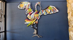
Decorations on the coffee shop wall

Decorations on the coffee shop wall

for sieving with our granddaughters at some suitable time. Perhaps we are sitting on a fortune. And perhaps not! But we may find something worth cutting and mounting into a piece of jewelry.

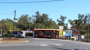
Coffee and scones consumed, we continued on to Sapphire, another ragged town with a less orderly centre than Rubyvale, but it’s town centre is clearly older. After a look around we continued to the

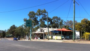
Sapphire General Store

Sapphire General Store

Capricorn Highway and then to a lunch stop at Emerald.

At Emerald we were back on the Gregory Developmental Road for the 56 km to Springsure. It was now a matter of how much further we went that day. We had in mind a river side camp where the Dawson Highway crosses the river from which it takes its name, but the caravans already there appeared to have been inserted by a sardine packing machine. We continued a further 20 km to the largely deserted caravan park in Moura. It is a large park, mostly of motel units and cabins for mine workers.
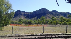
Hills near Springsure

Hills near Springsure

Our site was adjacent to a very noisy Coca-Cola machine that seemed to be trying to freeze its contents. We didn’t check. It was more of a night for hot drinks in this Central Highland town, the sleeping part of which we spent under a doona.

Home was now not much more than 600 km away with two days in hand, so we had the option of spending another night on the road or go for home. I find that these kinds of decisions take care of themselves. As the day progressed it was resolved in favor of going for home. We took a mid morning break at Monto, lunch at Ban Ban Springs and as the afternoon wore on stopped at Kybong, south of Gympie, for a very large container of caffeinated coffee and a serve of crisp hot chips.

So that brought us to the end of 37 days of fascinating adventure. Before we left home I had read a comment on Facebook where someone had remarked that a trip to Cap York was more an adventure than a holiday. That is one reason that I called this series of posts our Cape York Adventure. It’s both, really. Whoever said that you can’t have an adventure while on holiday?
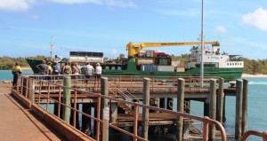
MV Trinity Bay berthed at Saisia wharf

MV Trinity Bay berthed at Saisia wharf

The opportunity to return by ship was pure luck, but the experience added greatly to the memories. I don’t mind driving on rough roads as we have the equipment to handle them, but I don’t go looking for them. If there is a choice of a sealed road that doesn’t take me too far out of my way I will opt for it every time, but there are iconic remote dirt roads and I get a great sense of satisfaction successful driving them.
2015 travels

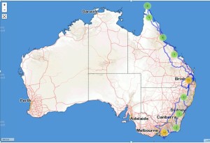
2015 travels. The blue line traces our path.

I have mentioned previously that we track our movements using a satellite tracking device. This provides a recorded track that can be superimposed on a map. I had a look at ours the other day, only to realise that  we had literately travelled from one end of the country to the other during the last twelve months. In the dying days of 2014 we were at Wilson’s Promontory and less than a month ago were at the tip of Cape York. Here is how it looks on the map.

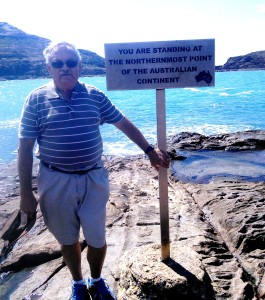
A windblown yours truly at the Tip

A windblown yours truly at the Tip

So, until next time, thanks for coming along with us to the Tip.