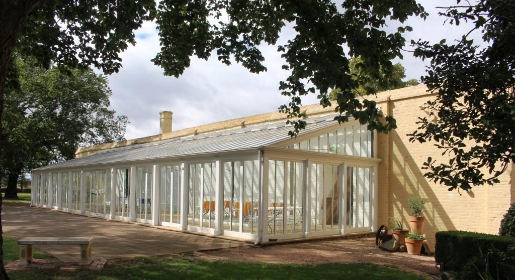
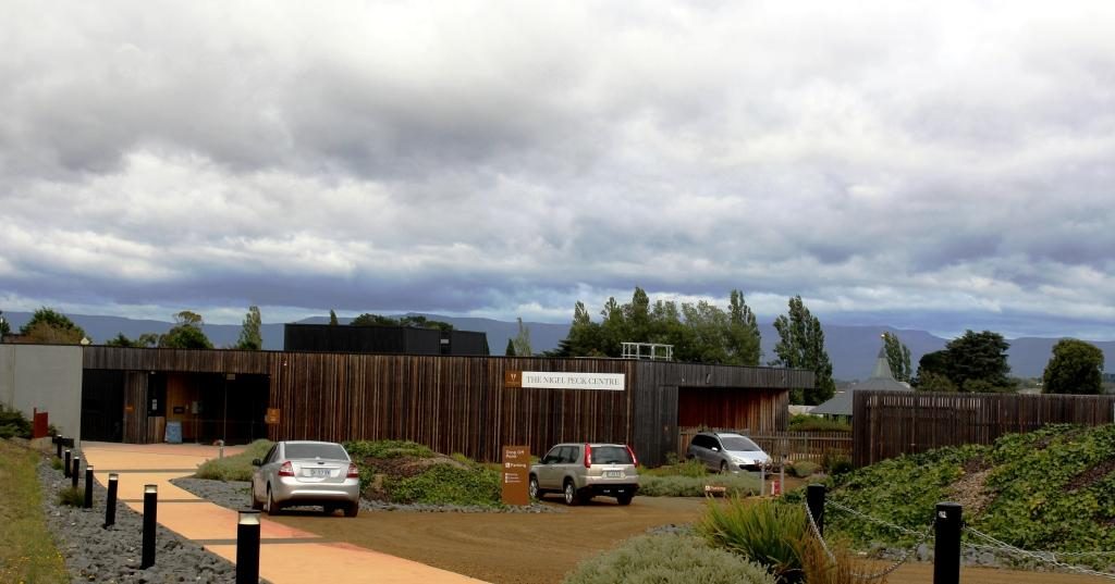
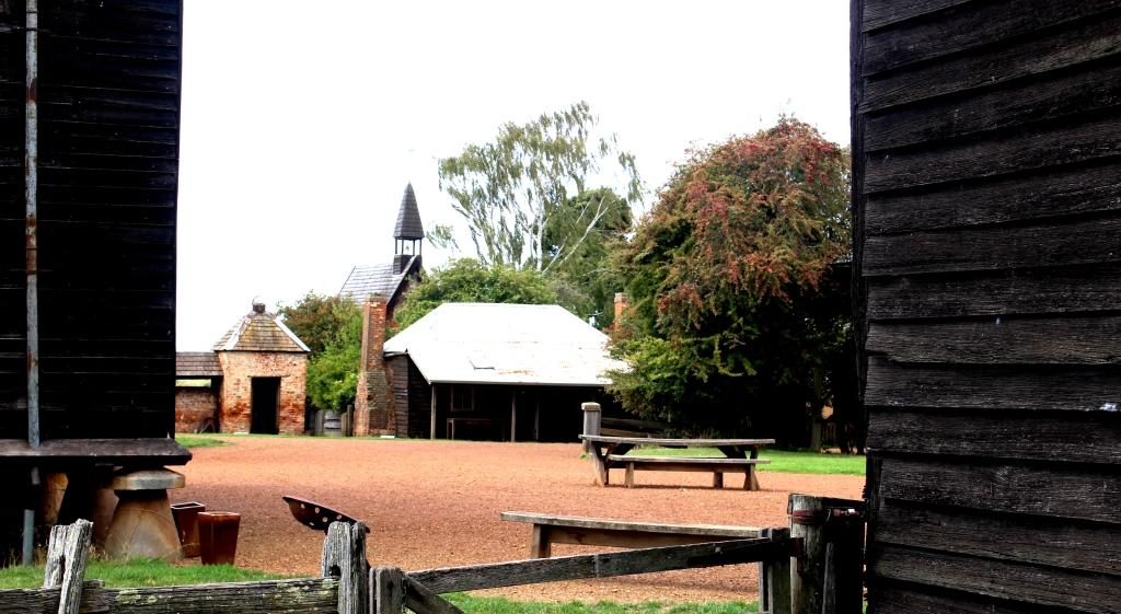
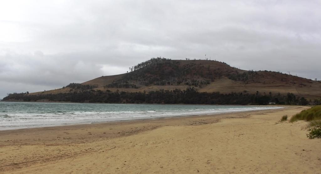
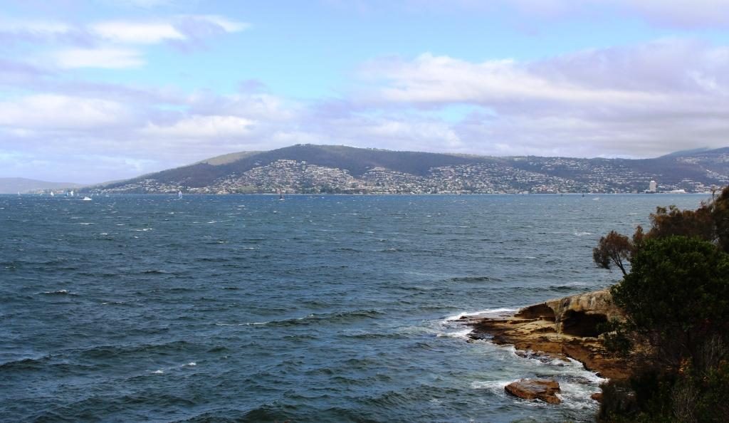
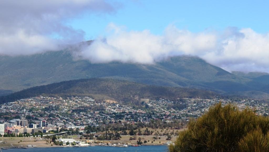
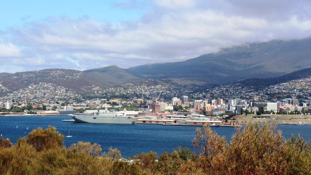
Please Note: At the foot of this post you will find videos covering the material that the blog post contains.
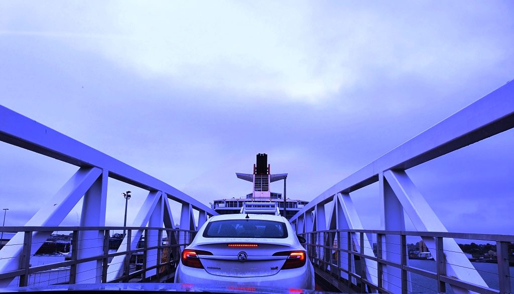
Our location for our last night in Tasmania provided a further benefit as we drove the short distance, through a morning shower, to the ferry. We had to turn at a roundabout that put all the traffic coming out of Devonport to catch the Spirit on our left, giving us right of way. But loading was still a slow progress as the ship arrived late from Melbourne. I felt sorry for the yellow coated attendants as they stood around in the rain waiting for something to happen.
Driving up the ramp to board the Spirit of Tasmania
We had another good Bass
Strait crossing. The expected strong winds did not eventuate. There was a
slight swell running through the Strait but not enough wind to produce white
caps.
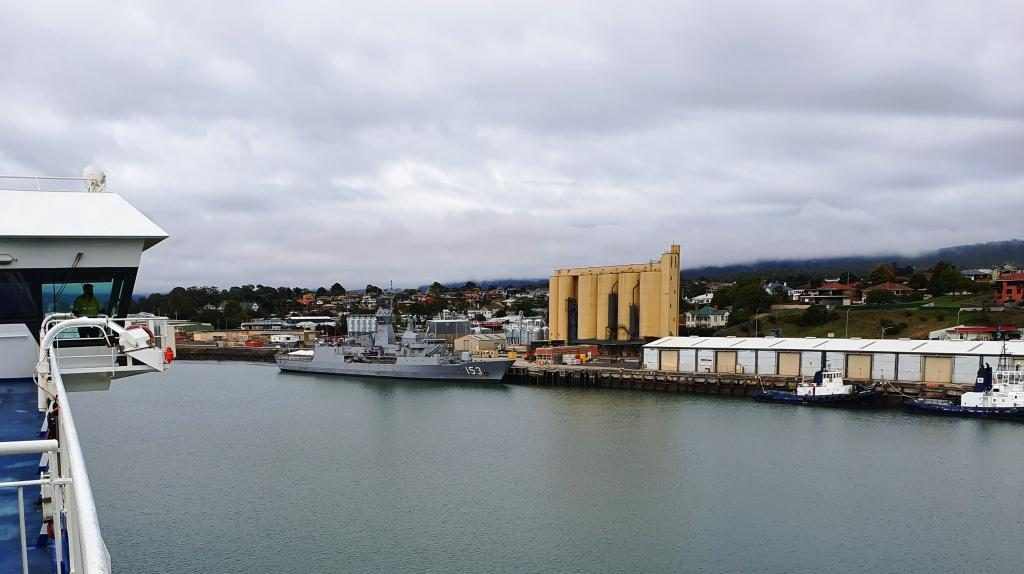
The wharves on the Mersey River and HMAS Stewart visiting its home port
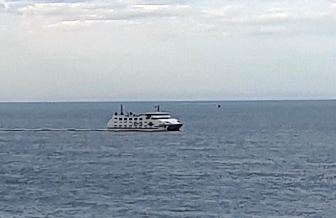
We had travelled south on Spirit of Tasmania One and returned on Spirit of Tasmania Two. They appear to be identical twins and very suited to their task. We had no complaints at all about either of them.
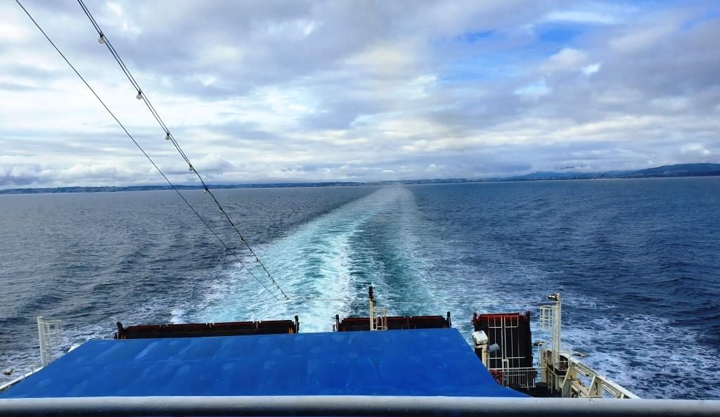
The north coast of Tasmania sliding under the horizon. The flat coast does not suggest the mountainous nature of Tasmanian topography.
We had booked recliner
seats for the return, as a cabin was not needed for a day crossing. The
recliner seats are at the back of the vessel, facing towards the stern. There
are four rows and the seats have full height backs so unless you are in the
first row your view is of the back of the seat in front. So we spent much of
the day in the top deck lounge where the view of the water was good and we were
near food and coffee.
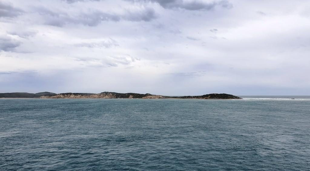
Point Nepean, the eastern headland of Port Philip Bay viewed from inside the heads
We reached Port Philip
Heads in daylight and came up the bay as the daylight faded. We docked in
darkness with the City of Melbourne a mass of lights ahead of us. Disembarking
was a slow process as Melbourne’s peak hour traffic made it difficult for
vehicles exiting the terminal to merge into the traffic flow.
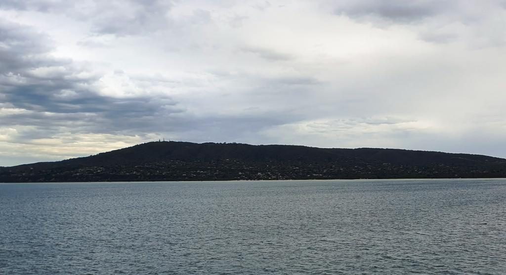
Mount Martha and bay side suburbs of the Mornington Peninsula
But eventually we were moving and making our way through the near city streets to the Monash Freeway. Streets in the near city area have changed since we lived in Victoria and I was working in a near city location. Google maps didn’t have it quite right but we found our way to our hotel in Waverley, without too much drama.
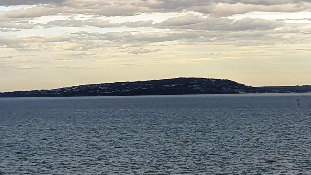
Mount Eliza with its covering of prestigious homes
Friends who we had
called on in Ballina on our way south were in Melbourne for a couple of weeks
and staying quite near to where we were. So we arranged to meet them at a
nearby shopping centre for morning coffee before we headed out to West
Gippsland to where we were spending a few days with my sister and her husband.
A vehicular ferry operates from Sorento to Point Lonsdale
A visit to a supermarket indicated that the shelf stripping that we had seen in Launceston stores was more prevalent that we thought. We now know the full story, of course, but then we thought that the cause was the many Asian tourists with whom we had shared Tasmania.
Empty shelves in a Melbourne supermarket
On Wednesday, after doing
normal family catch ups, we joined our hosts and other family members in a day
out into the mountains that are part of the southern Victorian Alps and lie to
the north of the rolling hills of the agricultural country of West Gippsland.
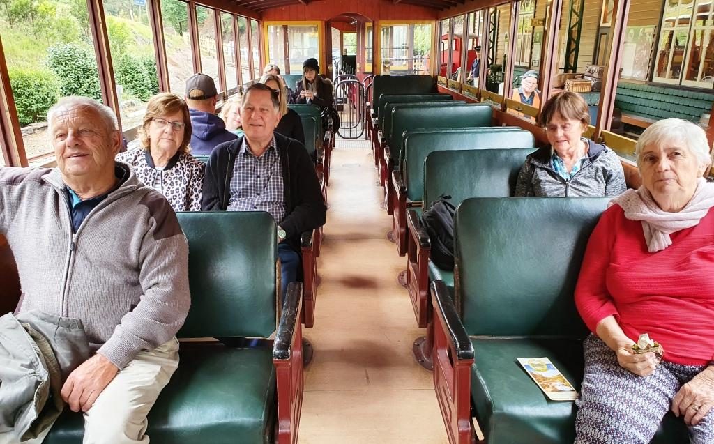
Walhalla Town Ride. Left to Right: Brother Bernard, Sister Aileen, Brother-in-law Colin, Sister-in-law Helen (widow of deceased brother Winston) and Ruth.
Walhalla is a historic gold mining town about 90 km from Drouin. It takes about 90 minutes to drive there. It is a well preserved heritage town with a full sized rebuilt railway that operates on several days of the week. It is popular with all ages and well patronised, particularly at weekends and very popular for school excursions.
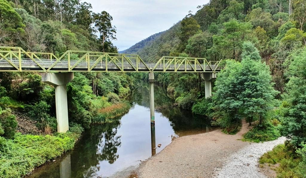
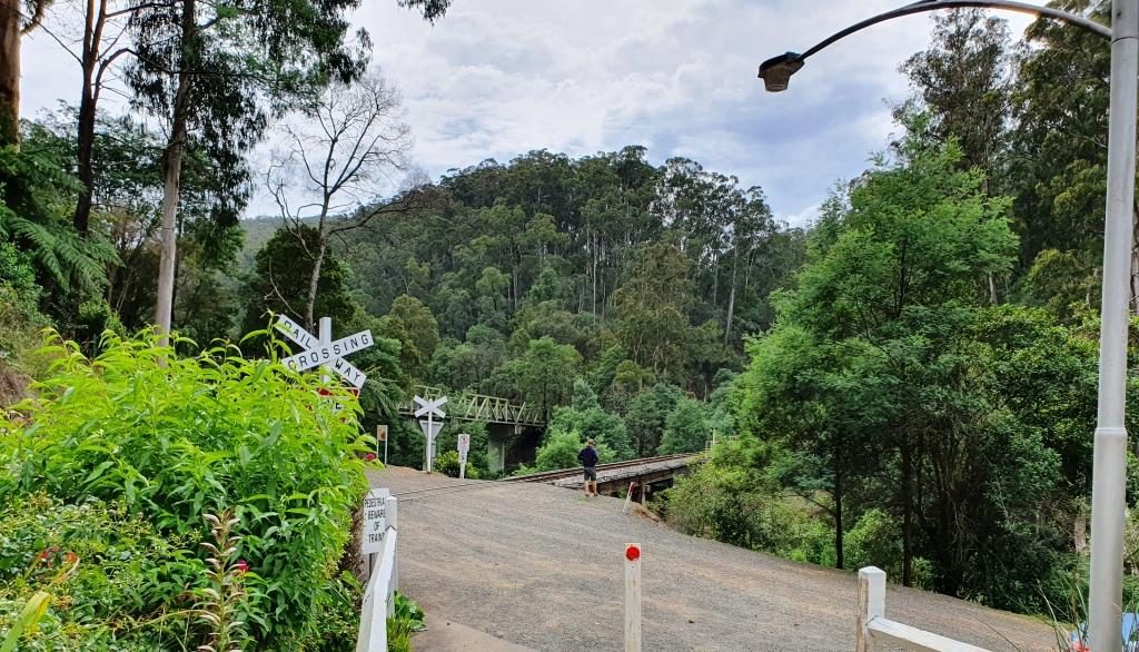
The road bridge over the Tomson River
The original rail connection arrived in the mid 1920s, just as the gold started to be worked out and the town started its decline. In more recent years enthusiastic volunteers restored the line, rolling stock and infrastructure and volunteers continue to operate and maintain it.
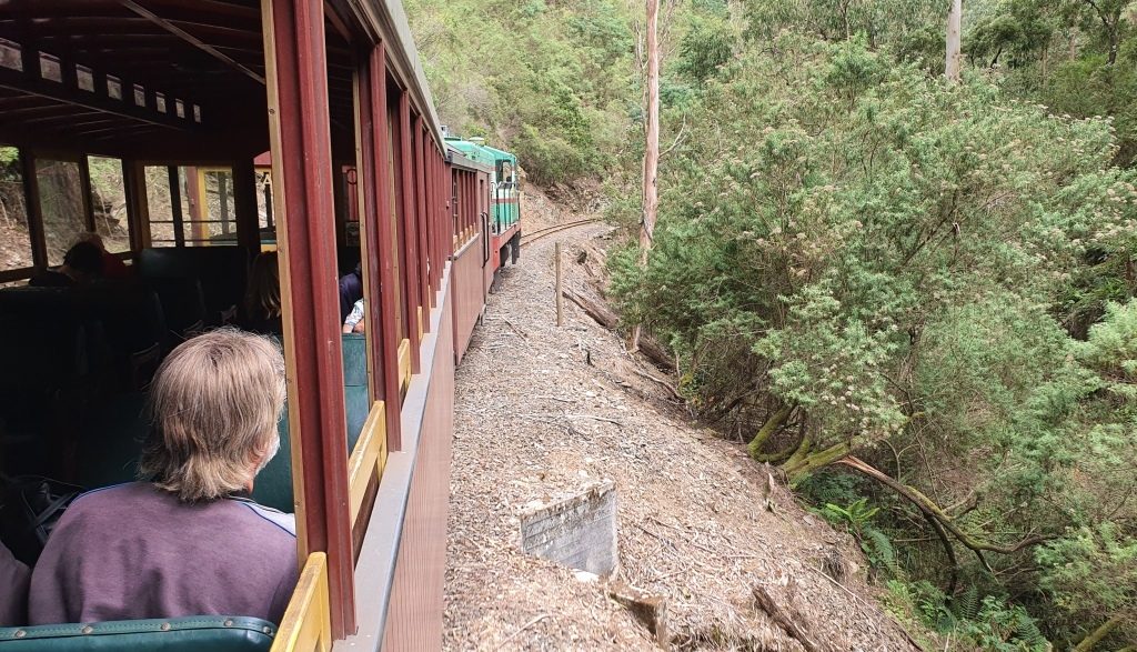
Running along beside Springers Creek on the outward journey.
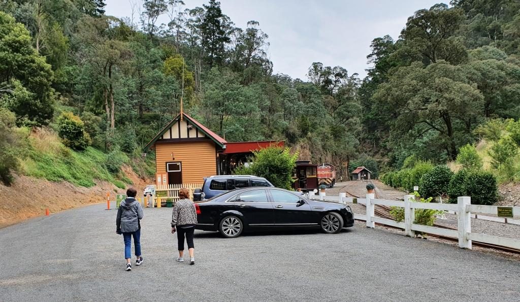
The final few kilometres of the road to Walhalla runs beside the Thomson River before crossing it to then follow its tributary, Springers Creek, to the town. Thomson River Station is located where the road bridge crosses the Thomson. It is to Thomson River Station that the train runs.
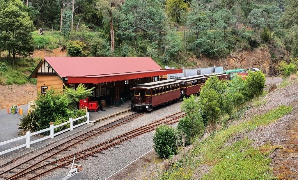
Walhalla Railway Station viewing outboundThe train ready for departure at Walhalla Station
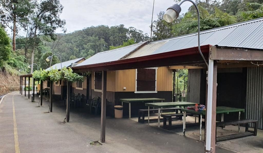
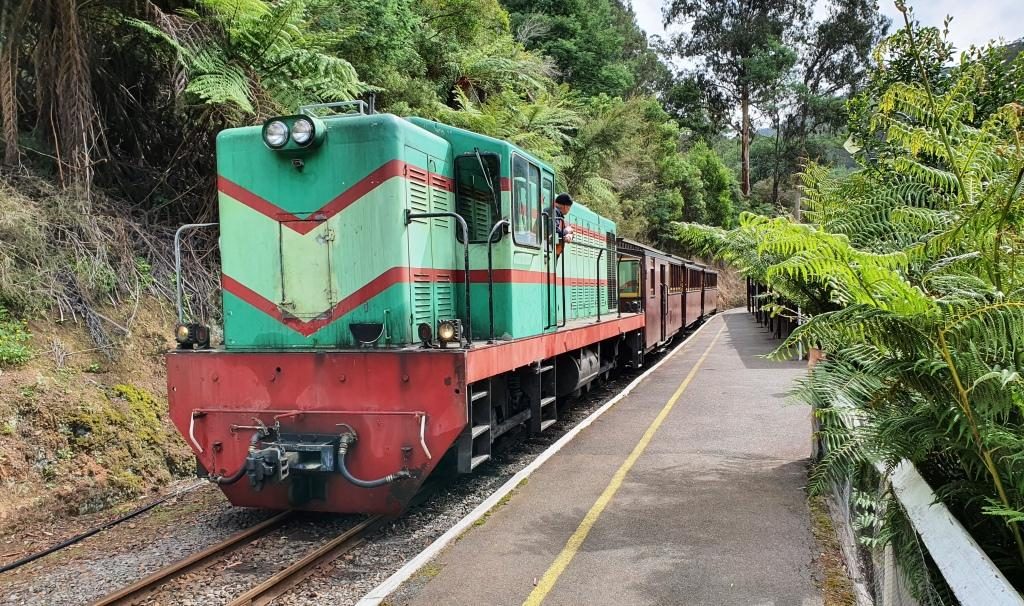
The railway runs along Springers Creek opposite to the road and when fully operational turned downstream beside the river after Thompson River Station. The ride is about 20 minutes out to Thomson River Station which is equipped with refreshment rooms just like the old days. The coffee was dispensed by a machine on the press of a button, so was not of coffee shop quality, but it was coffee and it was past coffee time by then. As we refreshed ourselves the train moved up the track so that the engine could be manoeuvred back to the front of the carriages for the return journey.
Thomson River Station with everyone aboard the trainThe train about to move off to change the engine to the other end for the return journeyThe Thomson River road and rail bridges viewed from the Thomson River Station
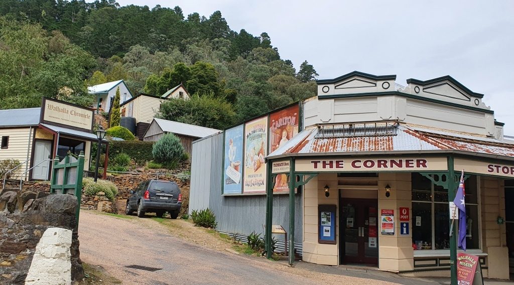
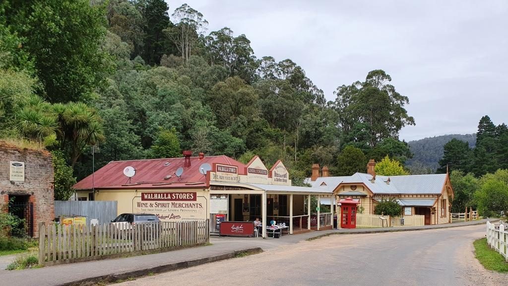
Train ride over, we drove up into the town and followed the main street as it wended its curving way through the narrow valley. The commercial buildings stand beside the road and on the flat land beside the creek, but the rest of the housing steps up the steep hillsides. The accompanying photos tell more of the the story.
Trading continues in original and historic buildings in Walhalla
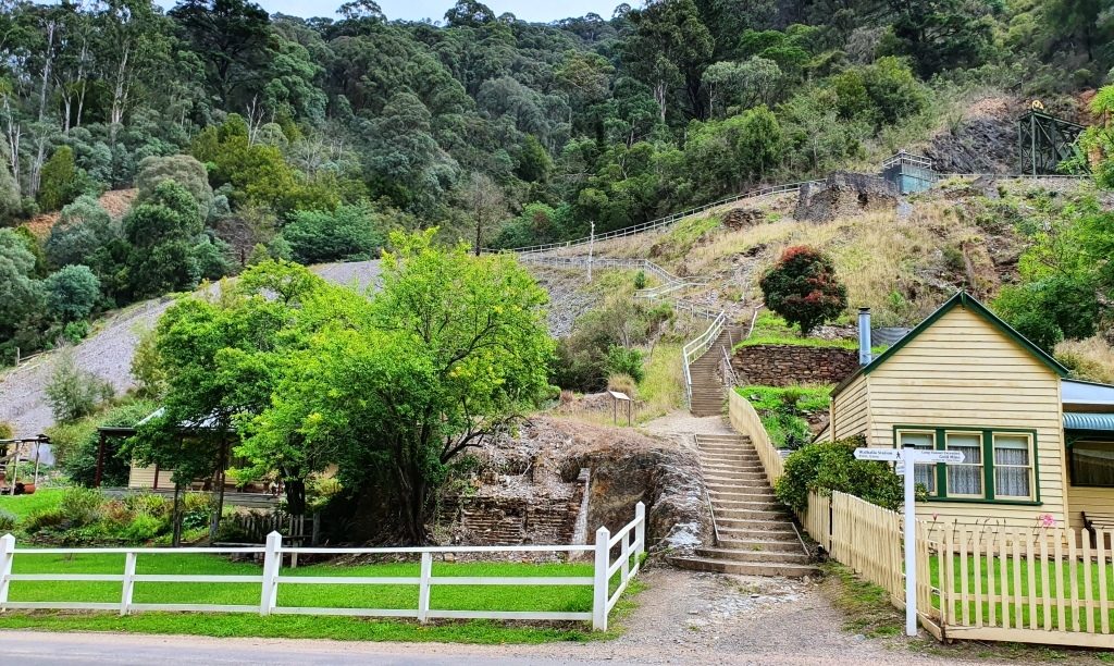
As you enter the town the mining area is on the left with convenient foot tracks and stairs leading to points of interest. We have looked at these before, when we were much younger. We had no difficulty in resisting the temptation to climb the steps that lead to the hillside path.
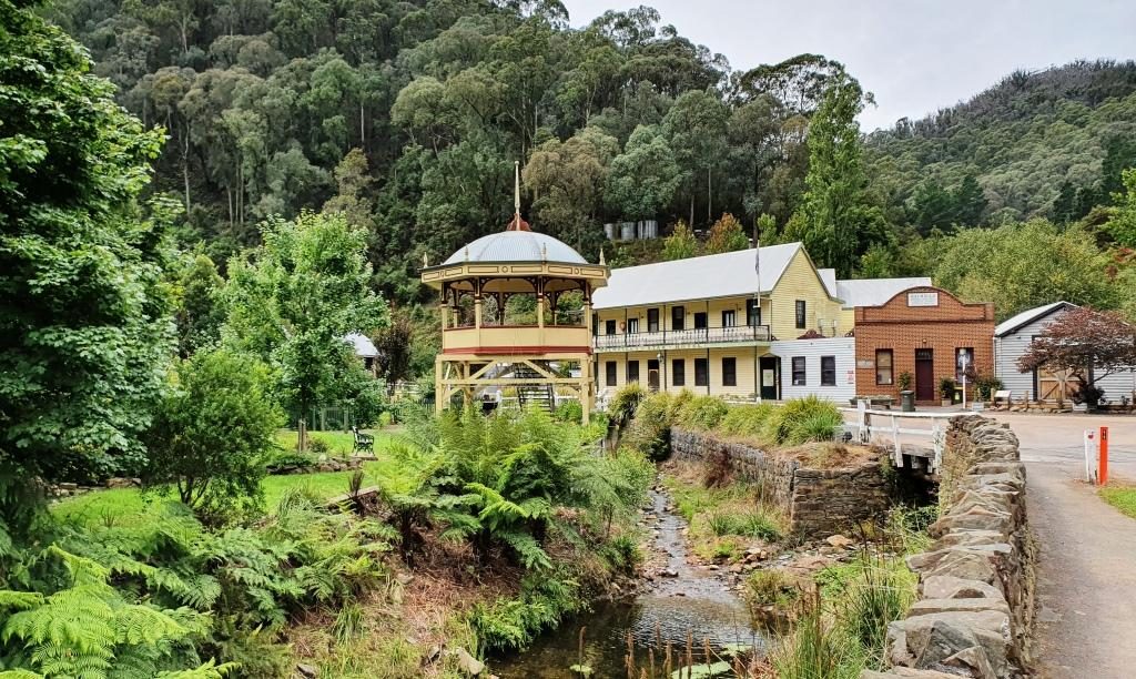
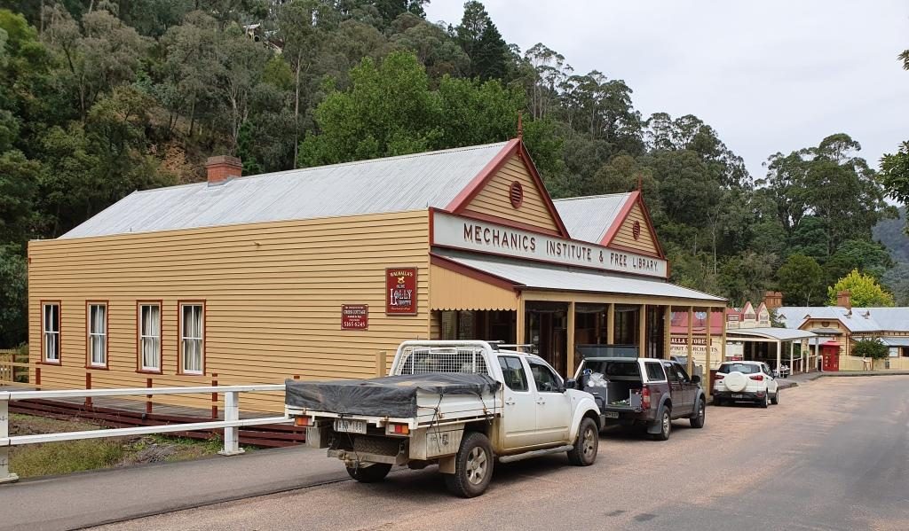
Band Rotunda, Star Hotel (closed) and a solicitors branch office.The old Mechanics Institute building is now used for another purpose
The best known of the
Walhalla gold mines is the Long Tunnel Extended Mine. Access to this mine has
been preserved making it suitable for public inspection. Tours are conducted on
a regular basis and have just recommenced following Covid-19 shut down. $20
will gain entry for adults or $15 if you rate as a senior.
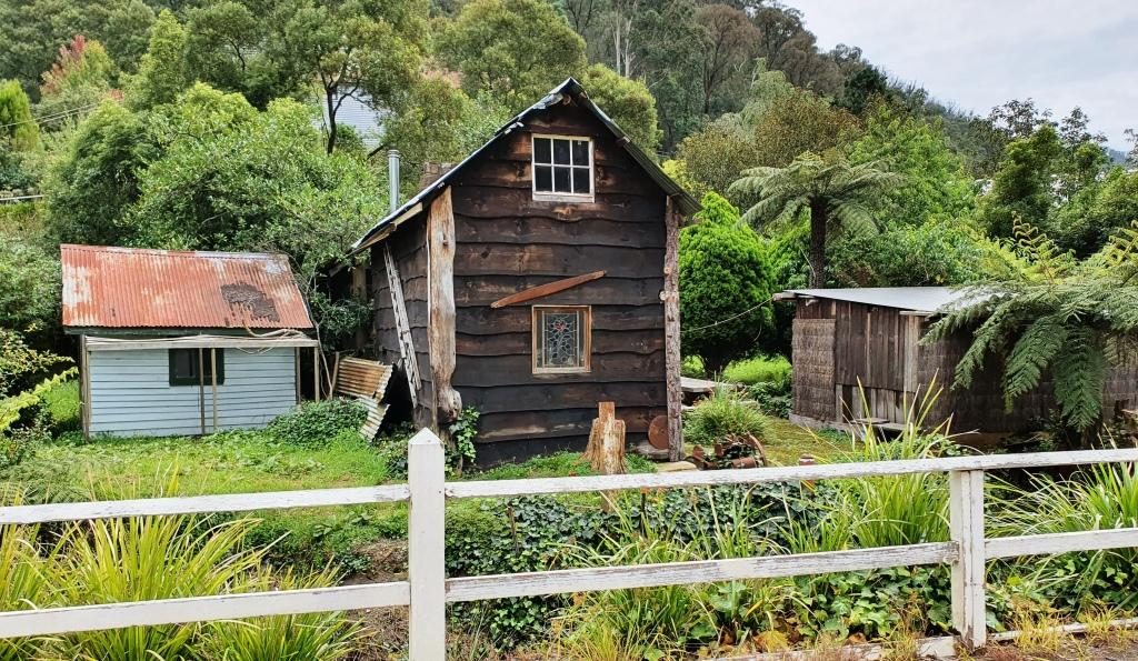
Old buildings beside Springers CreekMore historic buildings that are still in use
From the train we had
seen a group of teen age school children camping beside Springers Creek. As we
came out of the pub after lunch we saw them again. They had made it back to
town and had climbed to the hillside track to take a closer look at the mines.
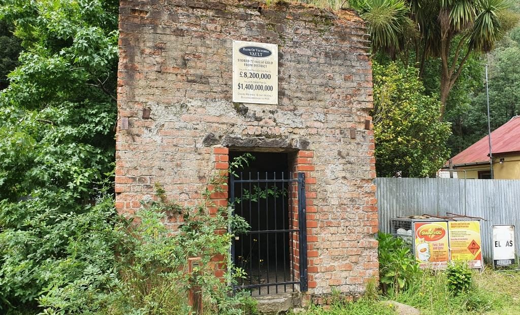
The facade of the original gold storage vaultThe stairway to the Long Tunnel Extended Mine
The only place
available for lunch was the Walhalla Lodge Hotel which is a fairly typical
country pub. The meals were generous in size and hit the spot after our train
ride.
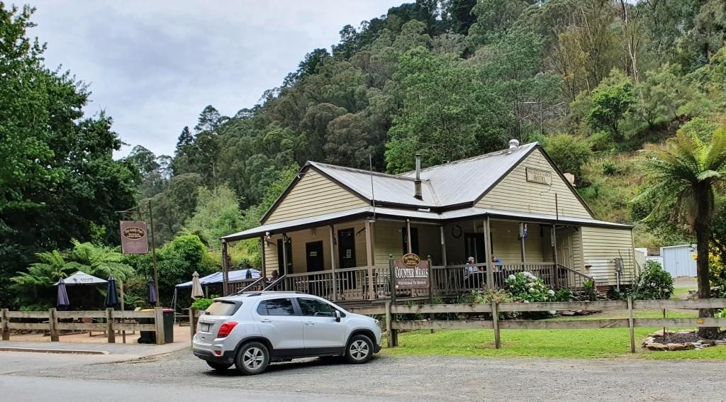
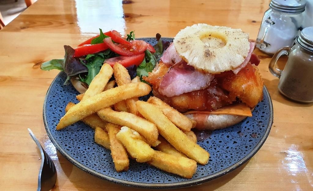
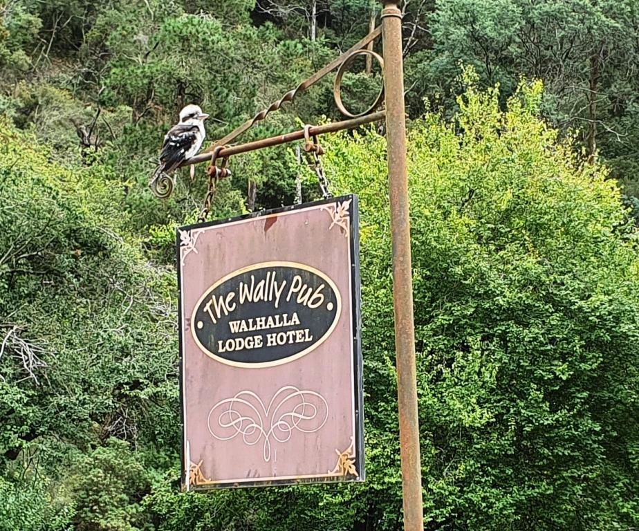
Out luncheon venue, the Walhalla Lodge HotelA more than adequate lunch for oneA Kookaburra waits patiently on the hotel sign. Waiting for scraps perhaps?
On our way back to Drouin we made a detour to look at a house that our niece (sister’s daughter) and her family had just bought but had not yet moved into. Such are the interests of family visits.
Please Note: Videos covering the material in this blog post can be found at the bottom of this post.
We were now down to
our last two days in Tasmania. We had allocated Thursday 28th to the
eastern side of the Tamar Valley and Friday 29th (Leap Year Day) to
the west side and to make our way to Devonport to catch the Spirit of Tasmania
back to Melbourne on Saturday 1st March.
So on Thursday morning we set off to visit the area to the north and north east of Launceston, starting by following the East Tamar Highway on the east side of the river, through Georgetown to Low Head, to see the historic maritime facilities at the mouth of the Tamar River.
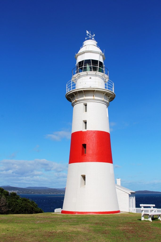
Low Head Lighthouse
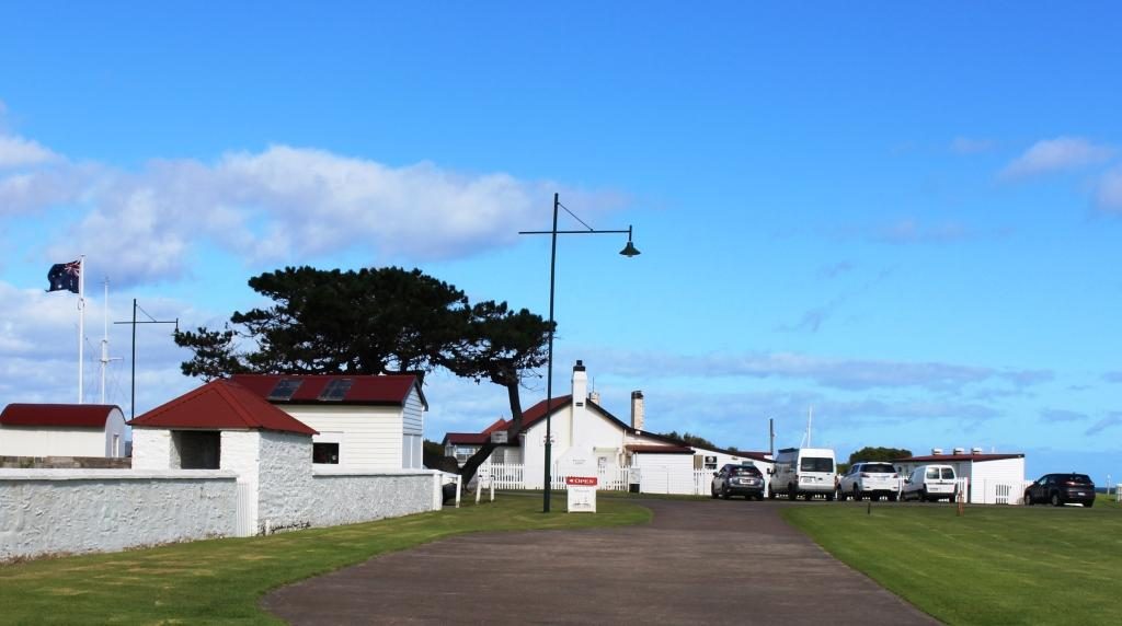
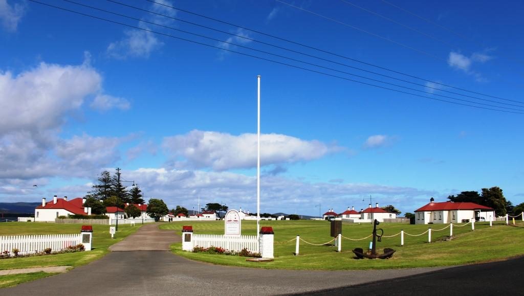
The Low Head lighthouse looks over Bass Strait and the river mouth. The area near the river is dotted with white painted brick houses with red roofs, with more modern and larger houses on the higher ground. These white houses were the homes of the many people needed to run the labour intensive services required in the early days when ships plied the Tamar River right up to Launceston. The original signal station still operates as does the pilot service. Bass Strait looked calm with the icy wind coming from the south west, but the sun was shining so it was pleasant in shelter.
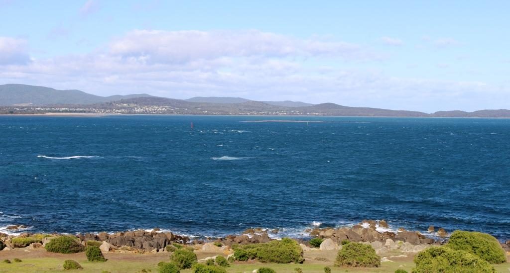
View from the lighthouse at Low Head across the Tamar mouth to Greens Beach on the western headlandThe house at the centre is now a cafe. The building to the left is a maritime museam. The buildings of the signal station surround a village green
We returned to George Town, but history there is not recorded in the continuing use of old buildings. Driving through, it looked like most country towns. The town is built on an inlet from the river called Stone Quarry Bay.
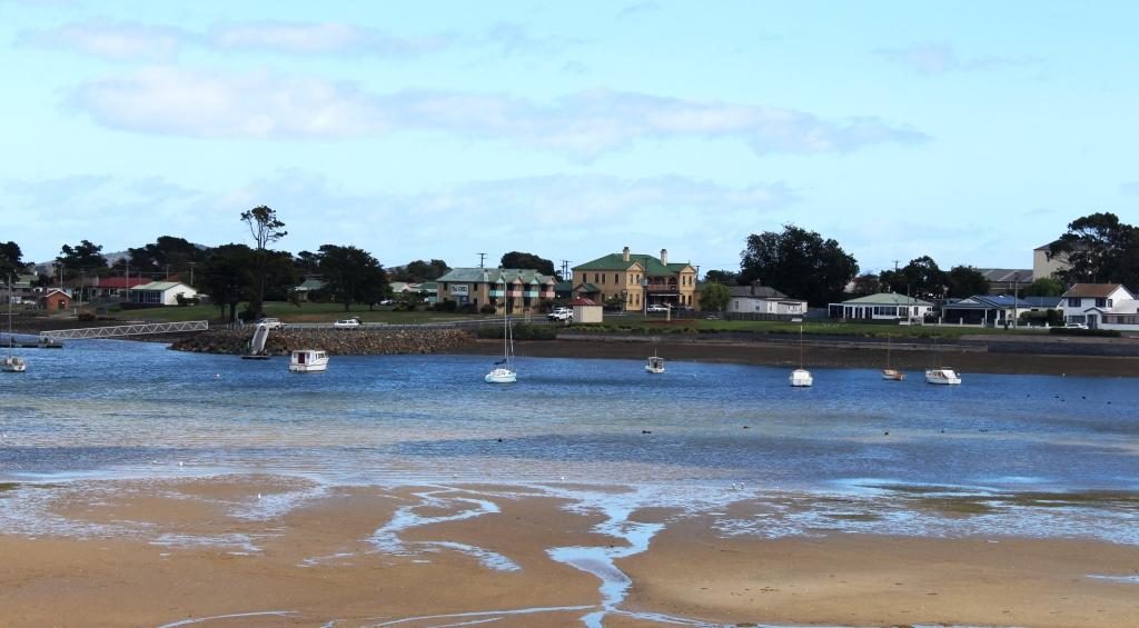
George Town on Stone Quarry Bay
When we drove around to the other side and looked across, older houses were visible that we could not see from the main street and we had a better view of the town centre. A substantial and modern resort, the York Cove Holiday Hotel, on the south bank of the inlet, didn’t look very busy but we did see a house maid trundling her trolley between buildings.
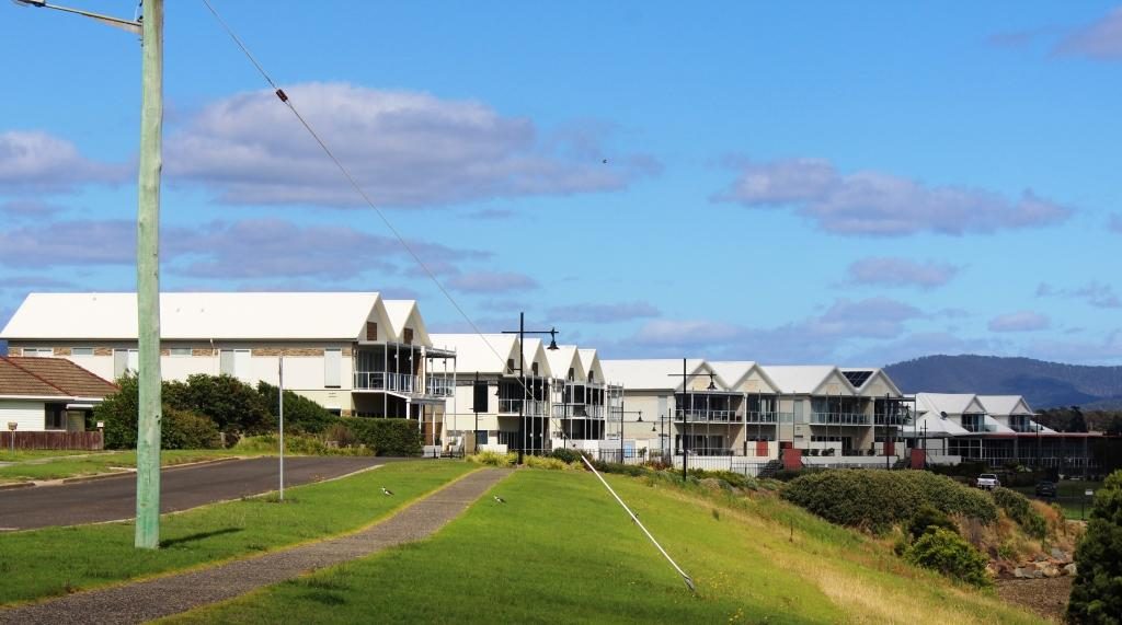
York Cove Holiday Hotel at George Town
Bell Bay is only a short distance south of George Town. It is an
important industrial port with an aluminum refinery, a ferromanganese plant and
a port for handling cargo. It replaced the old docks in Launceston for handling
of freight for this part of Tasmania many years ago.
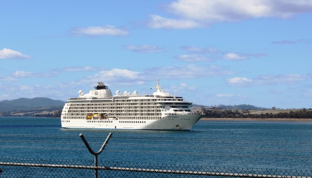
MV The World moored at Bell Bay
Upstream from the port a large white ship was at anchor. We took
it to be a cruise ship visiting Launceston at first but a closer look through
binoculars showed it to be passenger vessel named “The World” but
with no cruise line identification. A Google search informed that it is the
largest private yacht in the world. It is a floating block of apartments owned
by permanent residents and wealthy folk who take their holidays aboard and rent
their apartments when absent. It pulls up for several days at a time at various
ports. It cost $13.5 million to buy into the scheme initially, so it is not for
your every day battler.
We moved on towards Bridport via the north Tasmanian wine trail.
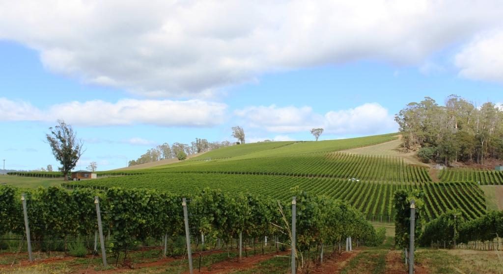
We saw hillsides covered in lush green vines but mostly producing cool climate
white wines. The heavier end of the red wine range seems scarce in Tasmania. Pinot
Noir is as serious as wine production gets. The weather is probably too cold.
If you are looking for a Cab Sav or a Shiraz don’t bother with Tasmania.
Pipers Brook Vineyards
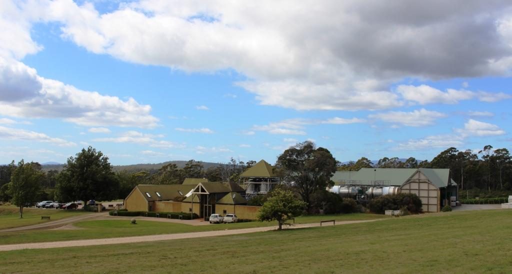
Pipers Brook is a well known brand of white wines. The winery is near to the road so we called in. The entrance driveway passes through a couple of kilometres of vineyards, making it a pleasant drive, but you do start to wonder when you will arrive. There is a cellar door and restaurant. We went in, but I don’t taste when driving and Ruth seldom does, so we had a look at some historical artefacts and then moved on. Winery restaurants are for more leisurely dining than we had in mind for that day.
Pipers Brook Winery and Cellar Door.
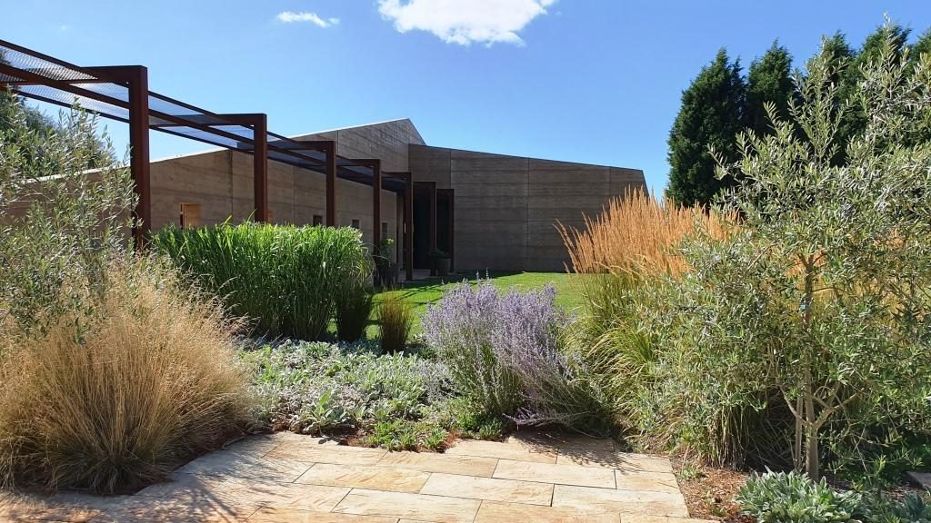
Located quite near to Pipers Brook is Clover Hill Wines. They specialise in sparkling wines produced by traditional methods. The cellar door building was quite new, very modern and attractive in the vineyard setting.
Clover Hill Wines Cellar Door
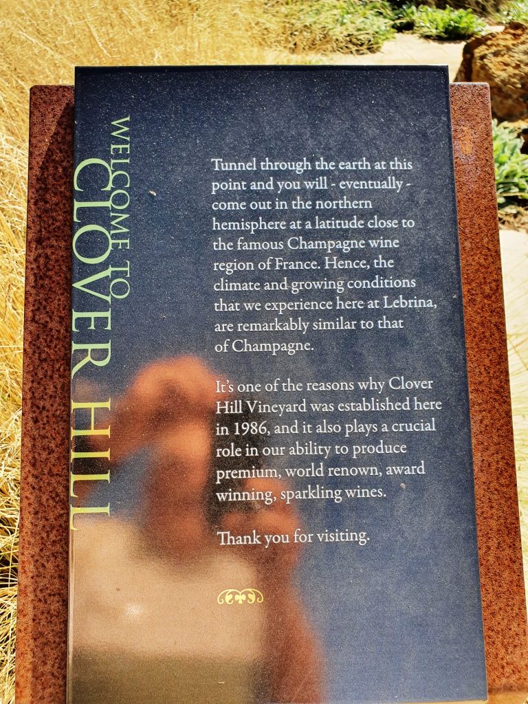
A sign near the buildings advised that if you were to dig through the earth from that spot that you would come up near the champagne area of France. I had always heard that you would come up in China. But France does sound a better proposition right now.
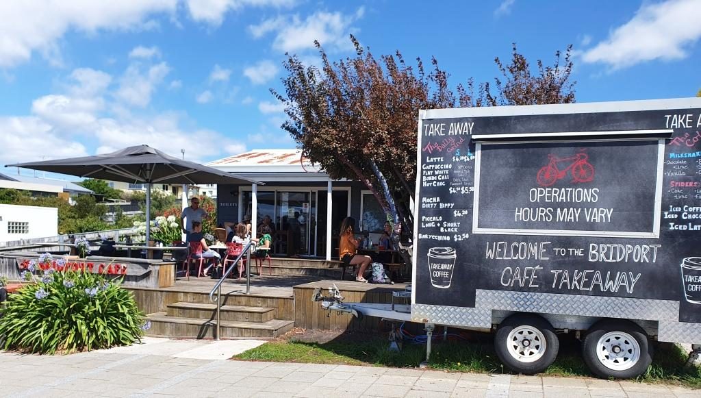
Bridport commands views over Bass Strait and is a pleasant town and is the principle beach side town on the eastern part of the north coast. We found a pleasant cafe that commanded those same views over Bass Strait and with seafood chowder on the menu. Well, what else could we do but go in and order? Ruth settled for fish. Our tastes in food often differ.
Bridport Cafe with indoor and alfresco dining
About 20 km south brought us to Scottsdale, the last major town through which we passed coming over from the east coast a couple of days before. This time we took an alternative road to Launceston that avoided the worst of mountain range. Scottsdale is 62 km from Launceston via the Tasman Highway (over the mountains) and 68 km via Lillydale. It is a substantial town and has a Woolworth’s anchored shopping mall as well as the kind of businesses that support agricultural production.
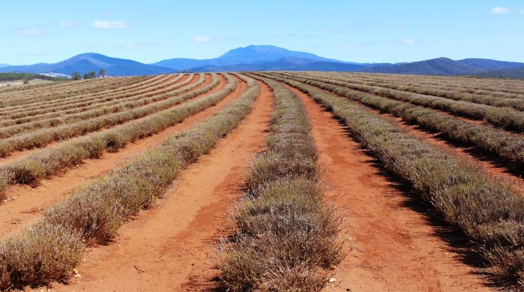
Sadly the lavender was not in bloom at Bridestowe Lavender Farm
The road through Lillydale brought us near to what is, I think, Australia’s largest lavender farm. Bridestowe Lavender Farm grows lavender which is converted to a wide range of products sold in the farm’s retail outlet.
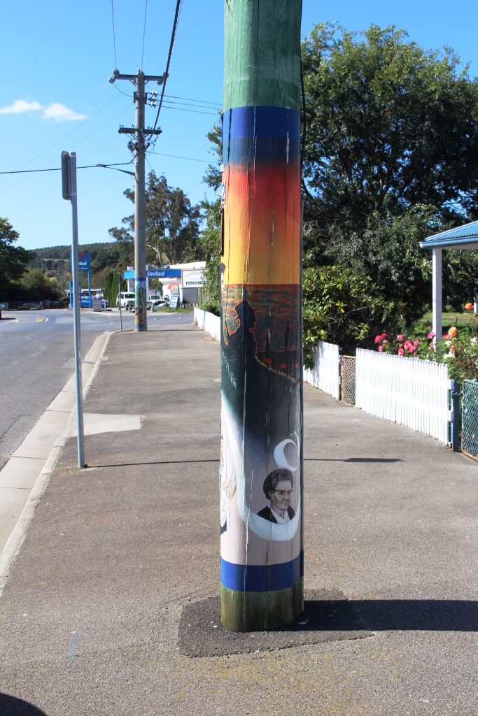
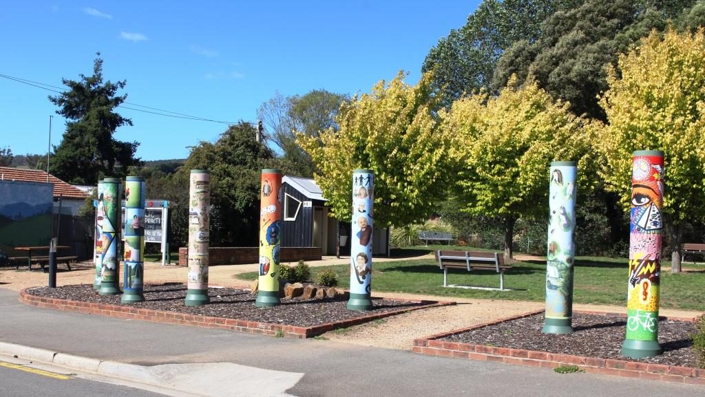
An artist decorated power pole at Lillydale
Later we drove through Lillydale, a town that has attracted artists to take up residence. As a community project, locals have assisted a number of the now local artists to paint murals on the electric power poles. Consequently Lillydale is known as The Town of the Painted Poles. It is about 28 km from Launceston.
Shorter decorated poles surround the park at the rest area.
We checked the time and decided that we would try for seats on
the last Tamar River cruise for the day, if seats were available. We would have
made it except for Launceston’s peak hour. I didn’t know it had one but we were
held up for about 20 minutes as traffic made its way from north to south
through the city. We returned to our unit for another quiet night.
The following morning we packed and loaded the car. As I sat in the seat to drive I noticed a slip of paper under the wiper blade. When I retrieved it I found that it was a note from the old neighbours who we had met on Bruny Island. They had spent the previous night under the same roof as we had.
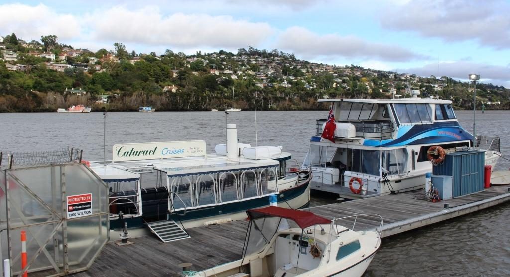
Launceston river cruise ferries. Our craft was the smaller boat with transparent blinds.
Before we set off to
explore the west side of the Tamar we gave the Cataract cruise another try. We
were successful and got tickets for the first cruise.
Walkways and modern accommodation now occupy this part of the river. This is the mouth of the North Esk River.
The opportunity to see Launceston and the Cataract Gorge from the water was better than the commentary from the expatriate Kiwi skipper, but he did add some interesting information. The day was sunny but with the same persistent cold wind that has apparently been blowing all summer. The see through blinds on the cruise boat were kept down.
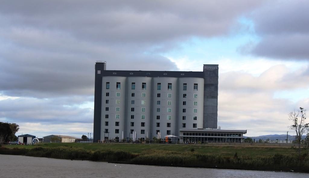
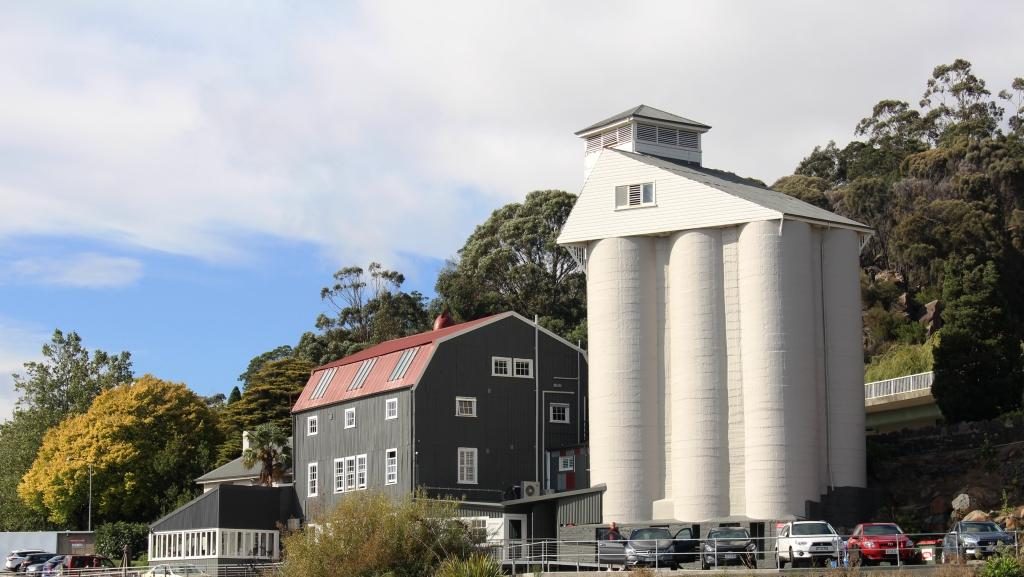
This Peppers hotel was developed in a set of four silos.A house on the western side of the river has its very own set of silos.
There has been a great deal of development of the old Launceston river waterfront with extensive walking and bike ways that run between the river and modern unit developments. Open space has not been forgotten. The development has provided for public access to the river bank. The development includes new hotels like the Pepper’s hotel developed in a set of four grain silos over the North Esk River mouth, directly opposite the tour boat wharf.
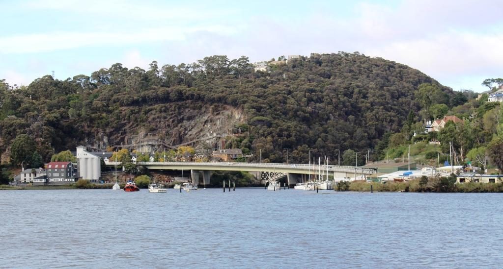
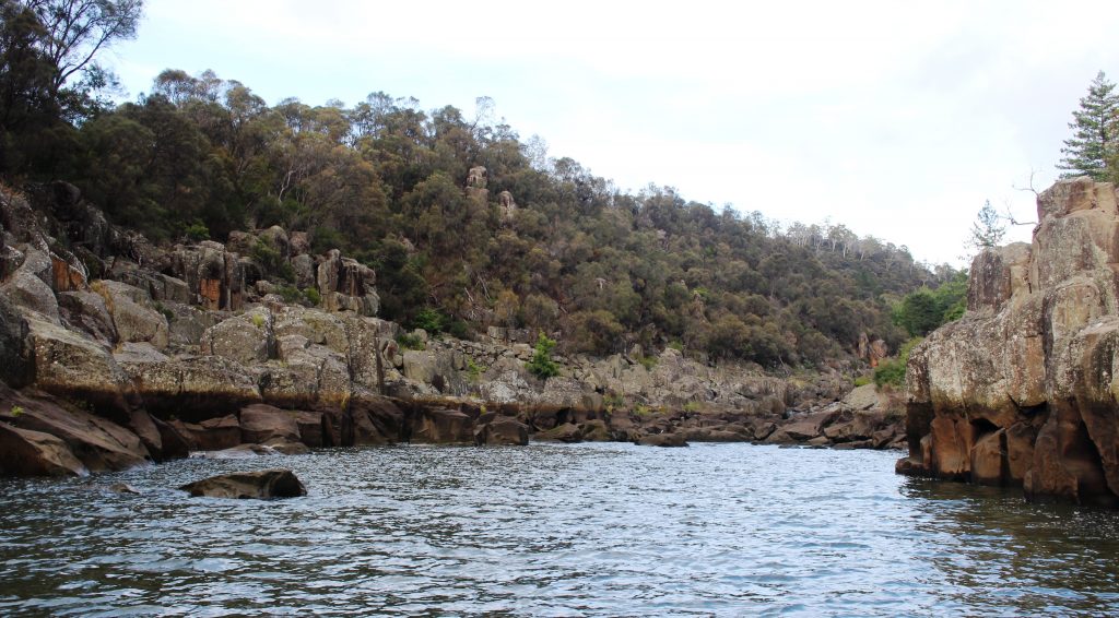
Bridges span the mouth of the South Esk River where it enters the Tamar. Original iron bridges carry local traffic while the new concrete bridge carry the through lanes of the West Tamar Highway.The navigable limit if the South Esk River within Cataract Gorge.
It is at the wharf
area that the Tamar splits into its two major tributaries, the North Esk and
South Esk Rivers. The North Esk River
turns to the east before moving off in a south easterly direction. The South
Esk River flows from south of Launceston, through Cataract Gorge and joins the
Tamar opposite the ferry terminal. We had crossed both Esk rivers on our drive
two days earlier to the stately estate homes to the south of Launceston.
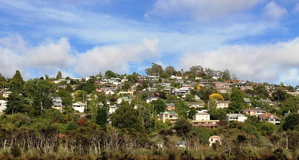
Houses on the western bank of the Tarmar have fine views of the river and the city
We disembarked and set
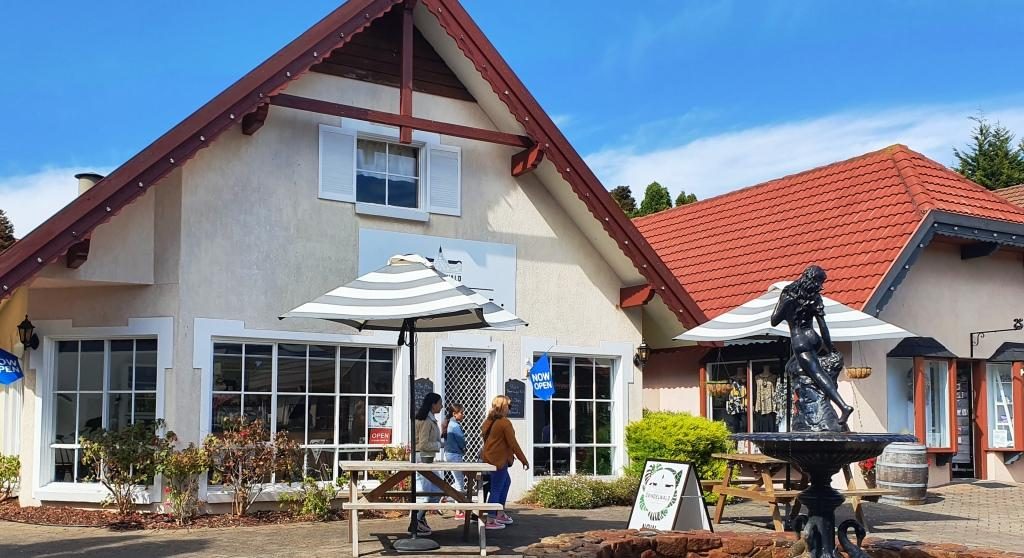
off on the day’s drive. Our first stop was the shopping village at the Aspect
Tamar Valley Resort at Grindelwald. There we found a neat little Swiss bakery
with good coffee and pastries as well as specialty shops, within a Swiss themed
shopping mall.
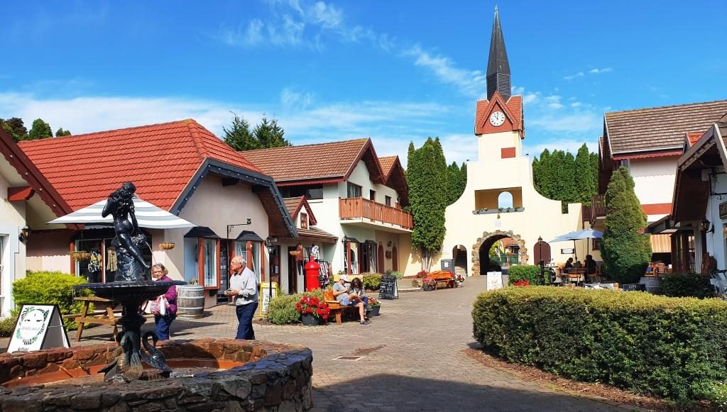
The Grindelwald Swiss themed mallThe Swiss bakery. Choosing a pastry to go with the coffee was quite a challenge
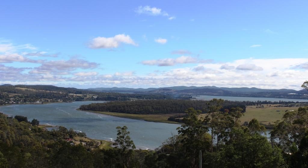
Having returned to the
West Tamar Highway our next stop was Brady’s lookout, named after Tasmanian
bush ranger Matthew Brady. The lookout provides sweeping views of the Tamar,
particularly to the north towards the river mouth.
The Tamar flowing towards Bass Strait from the vantage point of Brady’s Lookout.
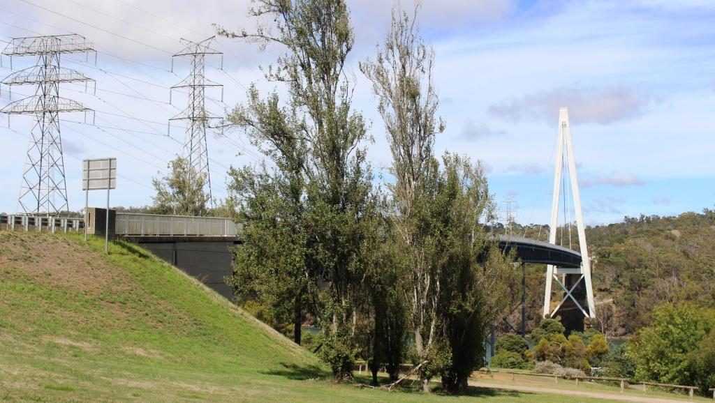
We headed then towards
Beaconsfield, of gold mine collapse fame, but first made a detour to see and
cross the Batman Bridge over the Tamar River. It is a single span “A” frame
bridge with the span supported by cables. It looks quite spectacular but is not
new. But new to us!
The Batman Bridge over the Tamar between Launceston and the river mouth
The mine collapse at Beaconsfield
killed one miner and buried two more for a couple of weeks. The widely
publicized event put the town on the map.
The residents have worked hard to keep it there. The mine was on our
itinerary but our interest was sharpened when we heard a couple of days before
that the mine had been sold to a mining company and there were plans to restart
gold production.
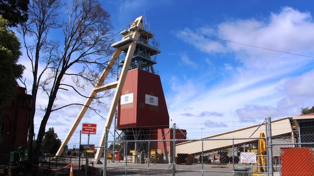
The mine head facilities at Beaconsfield
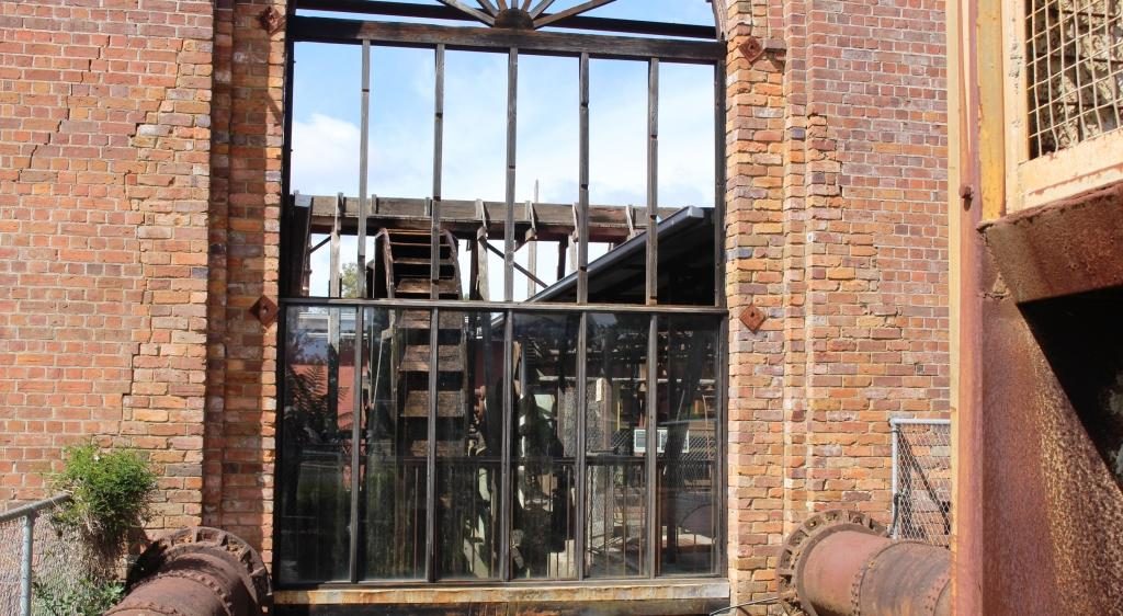
There is real history in old buildings but the heritage centre built to commemorate the mine disaster is the focal point. There is a mining display in part of the original mine buildings but it costs $16 for an adult so you need time to get value. You can get the idea from outside and you can shop in the attached gift shop for souvenirs and the like.
The view of a water wheel through a window.
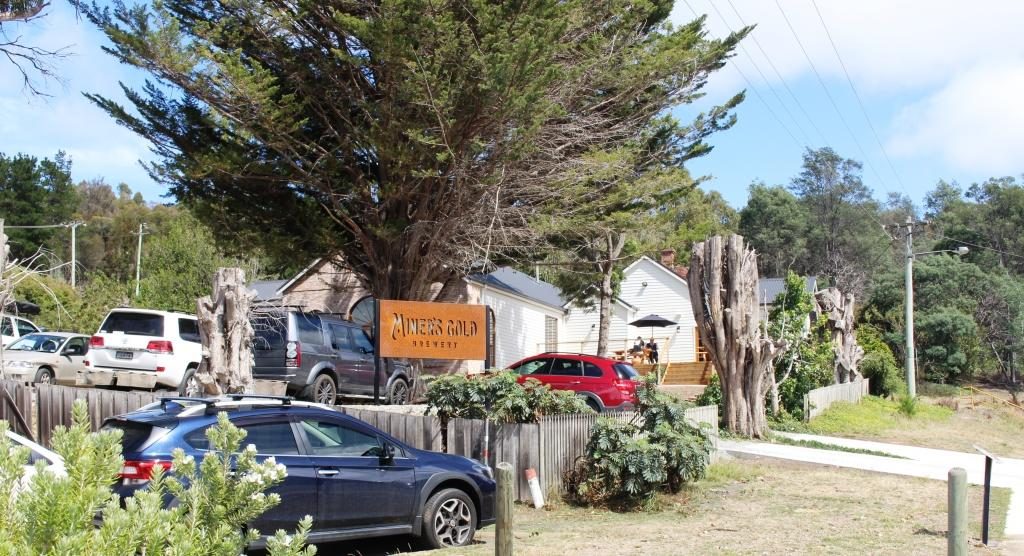
A new brewery has been
built next door that has used the gold theme for a partial free ride. It is
called the Miners Gold Brewery.
Buildings of the Miners Gold Brewery
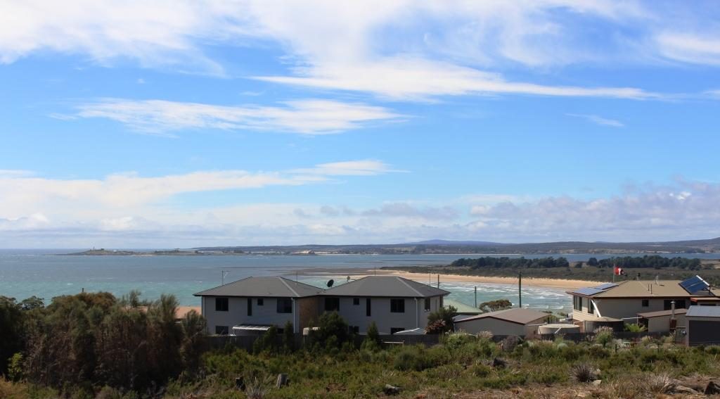
Moving on, we drove directly to Greens Beach, a seaside town immediately opposite Low Head on the west side of the Tamar Mouth. If it has a commercial centre we didn’t find in but it does have many large homes overlooking Bass Strait and the river.
The view over the mouth of the Tamar from Greens Beach. The Low Head Lighthouse is on the tip of the point in the background.
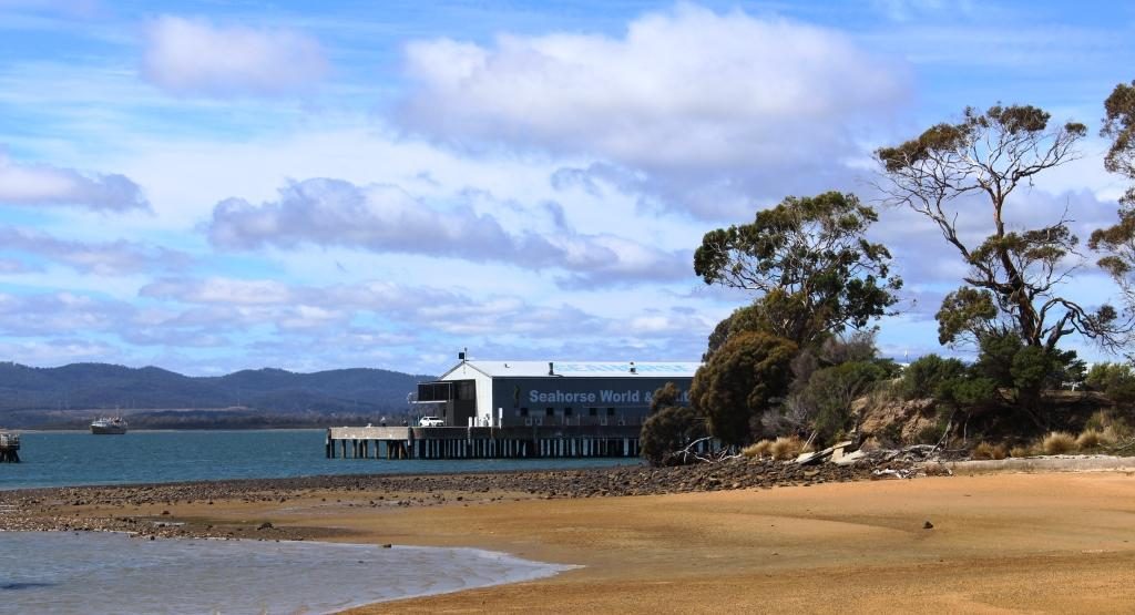
On the way back we
detoured to Beauty Point, a pleasant river side community where, among other
attractions, there is Seahorse World, an aquarium specialising, as you might
guess, in sea horses. On the same wharf structure you will find Platypus House
where you can see platypus and echidnas up close.
Seahorse World. The Platypus aquarium is out of sight behind the trees.
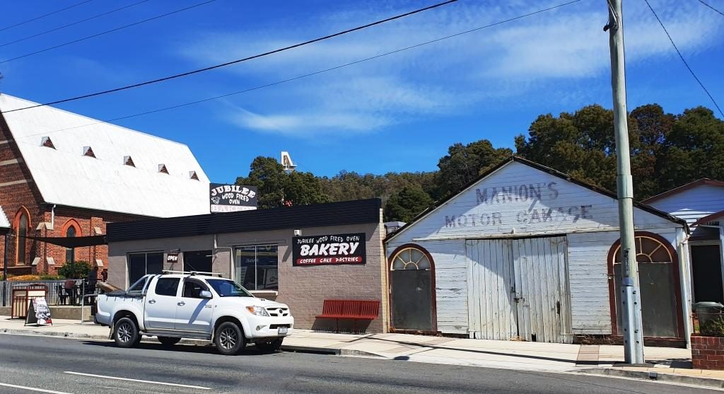
We stopped at the Jubilee Bakery for lunch as we passed back through Beaconsfield and discovered more history. The “Jubilee” part of the name was in honour of the 50th anniversary of the coronation of Queen Victoria. Irishman Paddy Manion opened the bakery in 1887. Some modernisation has since occurred but the original wood fired baking ovens remain in use. So my lunch time paste was cooked in the original wood fired oven, installed in 1887. The story goes that Paddy used to claim that his products were made with holy water because it came off the roof of the church next door.
Bakery and church at Beaconsfield. The holy water may have come from the roof of an earlier building.
We then drove south
over a collection of country roads to Deloraine before joining the Bass Highway
to Devonport.
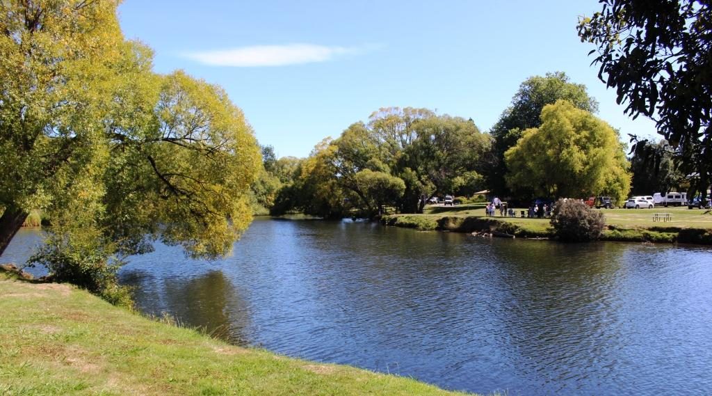
Deloraine has park lands on both banks of the Meander River.
Deloraine, on the
Meander River, is another town of historic buildings. The town is close to the
mountain range known as The Great Western Tiers, named because of the way the
range steps down, with each successive mountain lower than the last, as it
progresses to the North West.
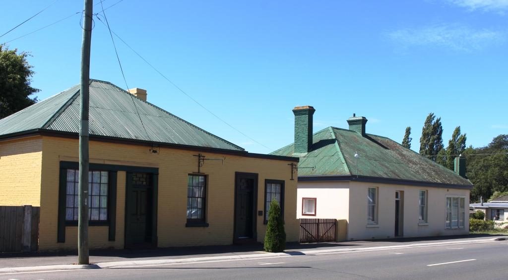
Historic buildings by the road side as you enter Deloraine from Launceston.
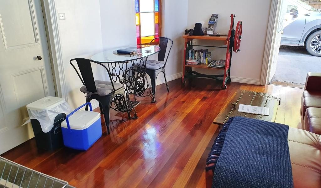
We spent the last night in Tasmania in a unit at the Postmasters Quarters, a modern development of historic buildings at East Devonport. This was another digital reception establishment with the access code texted to us, before our arrival. The interior decoration was a bit quirky but functional and comfortable. The location is within walking distance of the Spirit of Tasmania terminal. There is a pizza shop even closer.
Both table and book shelves were adaptions of machines at The Postmaster’s Quarters.
Please Note: Videos covering the material in this blog post appear at the bottom of this post.
When we drew back the drapes that
morning the sun was a red orb in a strip of blue on the horizon. But that
didn’t last for long. Grey clouds blew in from the west and wiped it all away.
The day’s journey started as a repeat of the drive two days prior, as we needed to go via St Helens to reach the Tasman Highway to Launceston. We only just made it through morning coffee (made on a picnic table and taken back to the warmth of the car) before drops of rain appeared on the windscreen. A few minutes later, as we made our way out of town, we were in drenching rain.
Farming land near Ringarooma
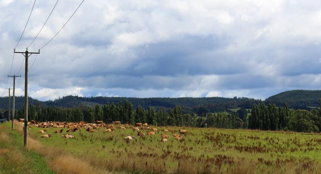
The first part of the drive was mostly beside the sea, with regular ocean views over calm and unruffled waters. The road turns inland at St Helens and meanders its way over mountain after mountain and through valley after valley, until it reaches Launceston. The mountains are almost all heavily timbered but much of the area in the valleys are cleared for farming. We at last saw the emerald green Tasmania of which we had so often been told.
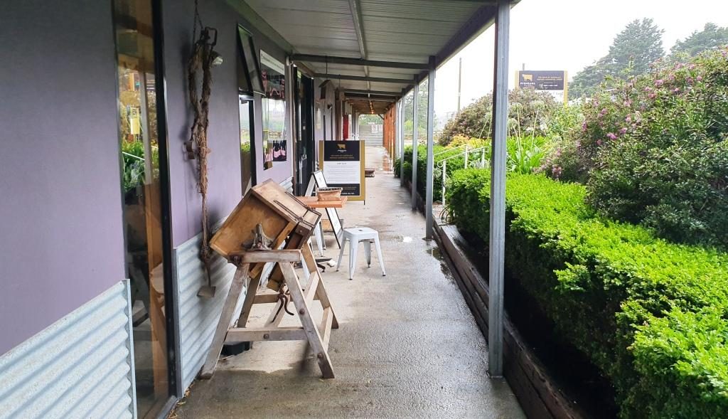
Old cheese making equipment on the veranda of the cafe at Pyengana Cheese
The plan for the day had
included visiting a couple of waterfalls and doing some short scenic walks, but
the rain put a stop to that. So our first tourist stop was at a farm and cheese
factory. Just off the main road at Pyengana, right on the farm, the factory and
a retail outlet and cafe attracts a large proportion of passing tourists from
this relatively busy highway. We had to line up to sample. We bought two cheese
flavours.
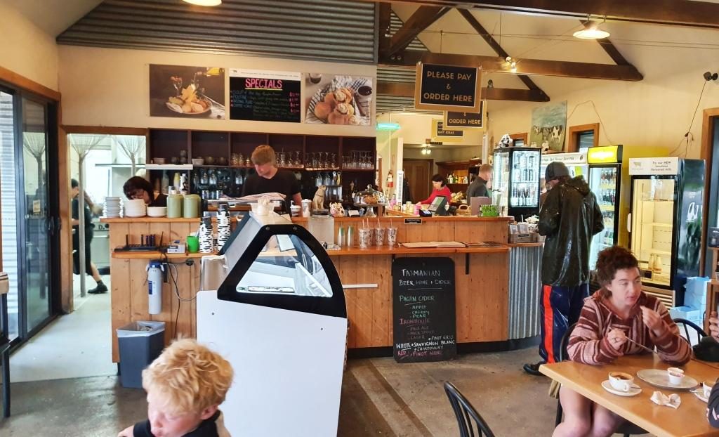
The Pyengana cafe
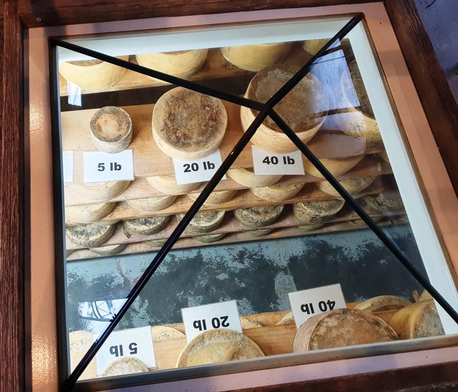
Immediately after we married, Ruth worked in the cheese producing Drouin Butter Factory in West Gippsland. We used to buy full cloth wrapped cheddar rounds, like those displayed at this cheese factory. On this occasion we satisfied ourselves with two small cheese wedges.
Cheeses on display under a glass pyramid in the cafe floor
Further down the road, past
the farm, were a couple of waterfalls, but the rain was too persistent for us to
see them and stay dry. So we returned to the highway and drove on steadily,
because that is the only way to handle Tasmanian roads, particularly in the
rain. But the scenery was attractive, even through the rain, so we did not feel
robbed.
At about midday we reached the old tin mining town of Derby. The tin mines have long been closed but its history and its location on the road to the east coast has kept the town alive.
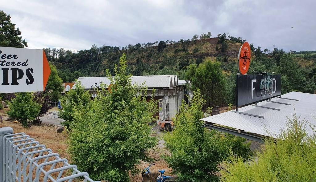
The mountain bike themed cafe at derby. Mullock heaps in the background.
The housing that remains lines the road that runs through the valley. To our right the hill was a large mullock heap from the mining activities.
The mining long gone, Derby has reinvented its self. It has become a Mecca for mountain biking. Bike tracks have been built in the surrounding hills that are drawing competition from around the World. One cafe has committed itself to mountain biking culture, whatever that is.
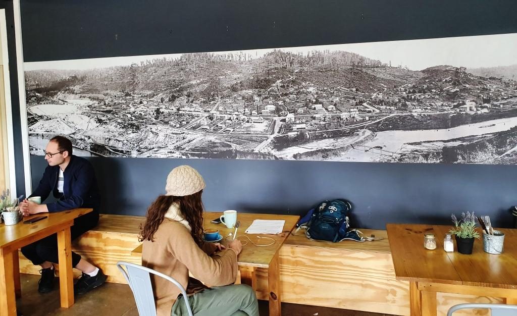
With rain abated we found the Two Doors Down Cafe (there has to be a story to that name) and enjoyed a pleasant lunch. An interesting feature of the cafe was a large picture on the wall showing the town in its mining heyday.
The picture of the old town of Derby displayed on the cafe wall
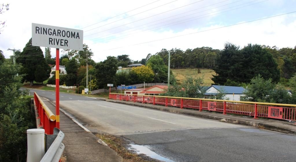
A bit further on we stopped at Branxholme to photograph the Chinese bridge over the Ringarooma River. Branxholme has a strong connection to the history of Chinese miners in Tasmania. It is a key point on what is known as The Trail of the Tin Dragon that links tin mining sites from Launceston to St Helens.
The Chinese bridge at Branxholme
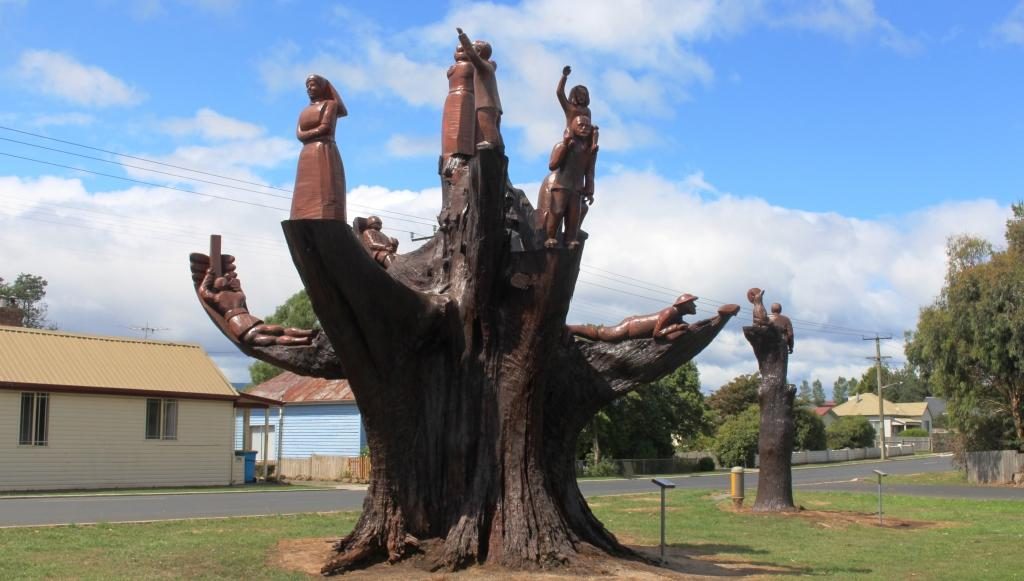
A short distance past Branxholme we detoured on what was not much more than a country lane, towards the town of Ringarooma to find the small town of Legerwood its carved trees. In 1918 seven trees were planted beside the road at the location that in 1936 became Legerwood, one for each of the locals who did not return from WWI.
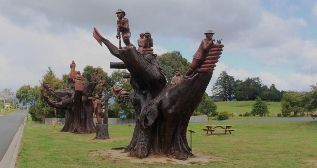
Memorial chain sawed tree stump at Legerwood
By 2001 the trees has become
a safety risk so they were cut back and the stumps were carved into a memorial
for each of the men. The carving was carried out using a chain saw. A plaque on
a stand at each tree tells the individual serviceman’s story. A rest area has
been built behind the memorial trees with space for a few RVs to park
overnight.
A different perspective of the carved memorial trees
The only other stop was at Sideling Lookout near the summit of the Sideling Range, the last mountain before the commencement of the decent into Launceston. Even with low clouds the view was great. A sign says that on a clear day you can see features on the Bass Strait Islands to the north east.
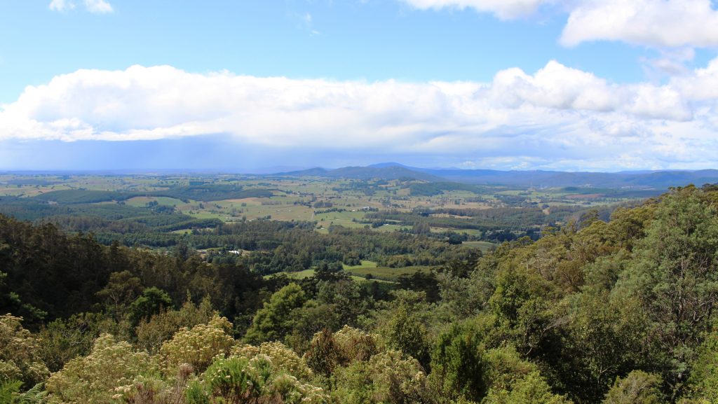
View back towards Scottsdale from Sideling Mountain
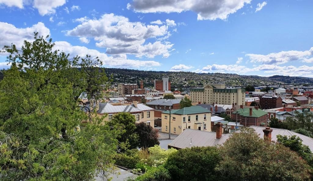
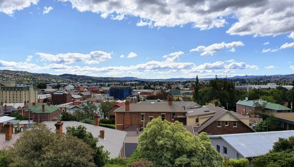
Our Launceston accommodation was at Adina Place Apartments on the steep slope above the Launceston central business district. Adina Apartments is a multi storey block with access to the rooms from a balcony that runs the length of the building, overlooking the road. The views from our windows were to the North and North West along the Tamar Valley.
View towards the north west from our Launceston accommodationLooking north from our unit. The water in the background is the Tamar River
The first day in Launceston was not very holiday friendly. We started out at 14C and (according to the BOM) feeling like 12C, with a strong and cold north-easterly gusting in from somewhere around the freshly fallen snow. It may have got to 16C later in the day. It was hard to tell.
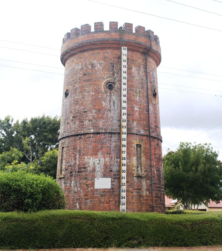
This historic water tower at Evandale is no longer used but kept full of water to help to preserve it.
We had intended to start the day with a visit Ben Lomond, one of the highest mountain peaks in Tasmania and host to some of the local ski fields, but that had to be scrapped with forecasts of low temperatures, wind and possible snow. The plan would have taken us south of Launceston so we stuck with that plan to visit the other items that we had identified. These were mainly National Trust managed homes. All are open to the public for a fee, but with only a morning to spare we were only intending to look at them from the outside and to drive through the country side.
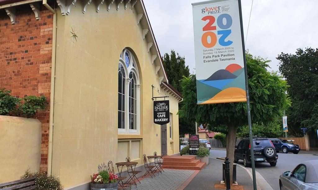
The Evandale Bakery. It was really a licensed cafe but also fulfilled the role of a bakery.
First we drove to Evandale, passing Launceston airport on the way. At Evandale we found a bakery so inviting that we went in for coffee. The warmth was very welcome as was the coffee smell and the wide range of cakes from which to choose.
Evandale, on the old Hobart to Launceston road, has almost all historic houses. It is like an English village. If you built a new house I think that you would need to make it look old to fit in.
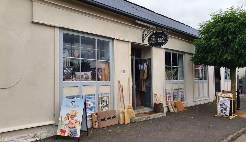
The Evandale Village Store
About a week before we were there Evandale hosted the annual penny farthing bicycle championships. The races are run over a triangular course in the village. A village fair forms part of the event featuring stalls, music, singing, dancing, vintage cars, historical costumes and a grand parade. It must be quite a day.
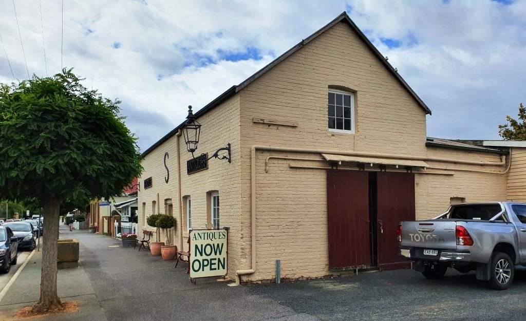
Antiques for sale from truly antique buildings.
Of the National Trust homes that we visited, Clarendon is the stateliest. It was built in 1838 and must have been the centre of colonial social life in the area. Like its piers it is available to host special functions.
Extensions to Clarendon to accommodate functions such as weddings, balls and commercial promotions.
Brickendon and Woolmers Estate, near Longford, were built by the Archer brothers. Brickendon has been operated by the same family since 1824. Woolmers Estates dates back to 1817. Both properties were added to the National Estate in 1910 because their connection to convict history. Both were built by convict labour. The Archer brothers were regarded as humane masters. Jeffrey Archer became a member of parliament and played a role in the ending of transportation.
The visitors centre at Woolmers Estate. This National Trust property hosts functions and offers tourist accommodation.A peep into the back door of Brickendon Estate. The back door is the tourist entrance.
We came back to Launceston to
pay a visit to some friends of Briony at their place of business and then made
our way to Cataract Gorge. This geographic feature is quite close to the City
and surrounded by suburbia.
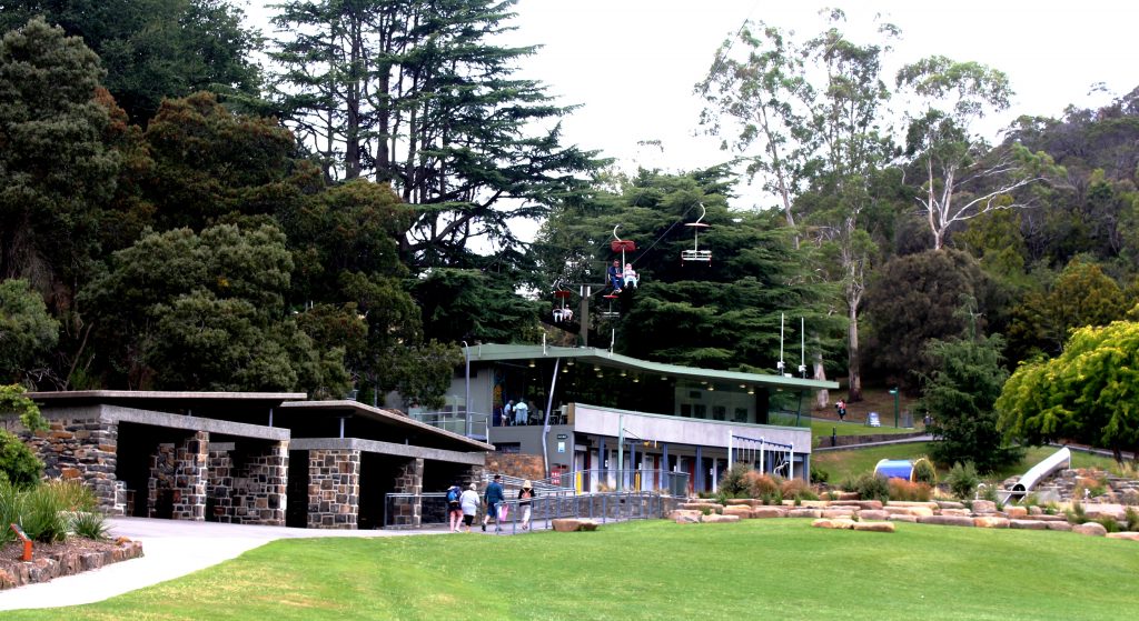
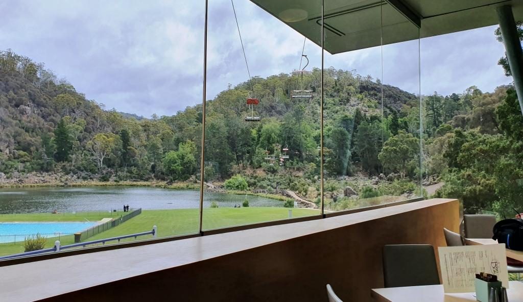
The cafe at Cataract Gorge with the chair lift overhead.
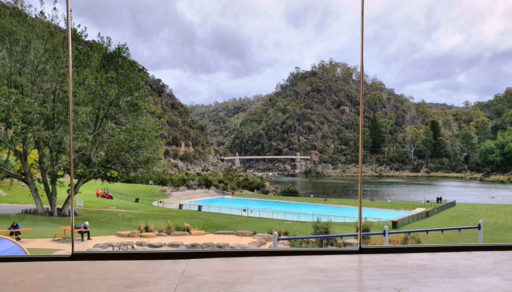
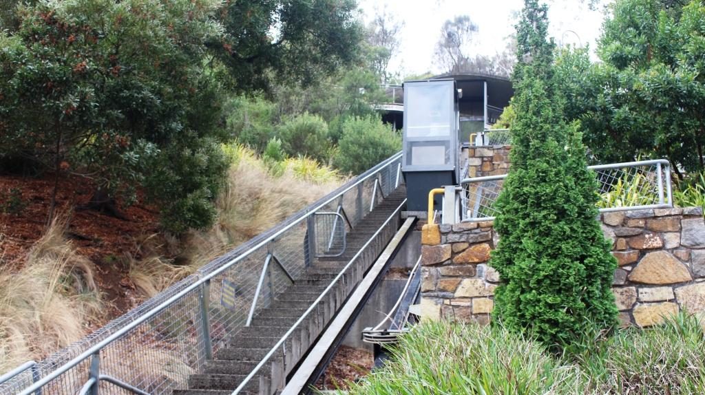
Some of the developments in the gorge have been there for a long time. We remember them from our previous visit. Other features are more recent. A suspension bridge and a chair lift carries people over a small lake and link to various walks. There is a swimming pool, surrounded by lawns, a cafe and a inclined elevator to make it easier for the less mobile to move between the various levels.
Chairlift and pool from the cafe at Cataract Gorge
We started with late lunch in
the café. Then I went for a walk past the pool, returning via the suspension
bridge, while Ruth tried to hide from the cold. We gave the chair lift a miss,
as did almost everyone else that day.
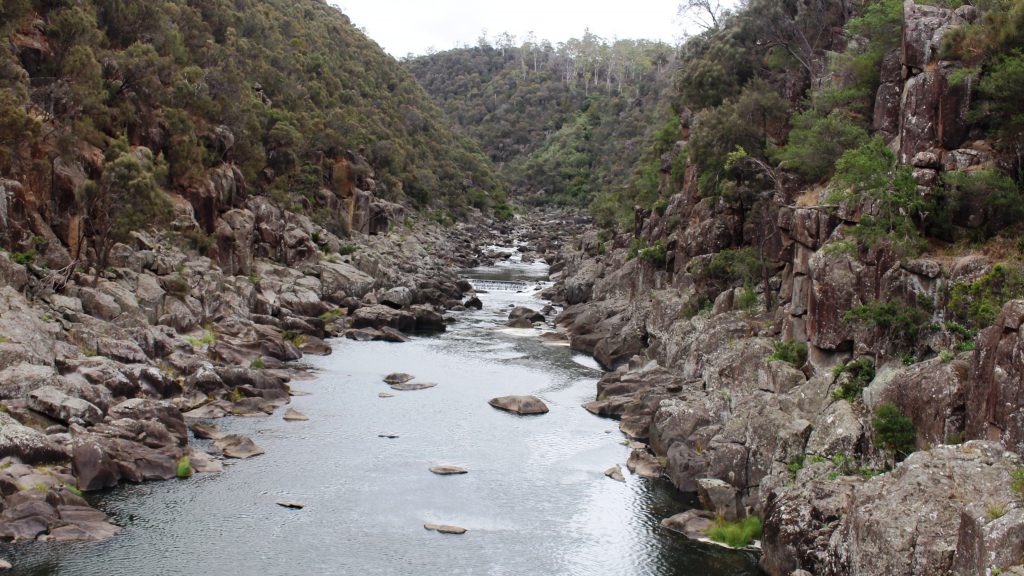
Cataract Gorge pool lake and suspension bridgeThe South Tamar River flows through Cataract Gorge above the suspension bridge. This inclined elevator connects three levels at the Cataract Gorge cafe.
We finished
with a drive through city streets. Launceston is built in a narrow valley with
city and suburbs spreading up the sides of and over the hills. There are
streets that look like the plunge of a roller coaster.
By now there was not much of the day left so we returned to our apartment. It was pleasant to be able to turn the heat up on the air conditioner and settle back in warm comfort for a peaceful evening.
Please Note: Videos covering the material in this blog post can be found at the bottom of the post.
Saturday morning and we awoke to pools of water on the balcony and driveway. The first real rain since we had arrived in Tasmania had fallen over night. Patchy cloud in the morning cleared to a sunny day with a cold south easterly breeze.
We left New Norfolk, heading for Hobart, but we needed to fill in time to check in. So we drove down river, crossed to the east side and made our way to the Tasman Highway that passes the airport and ultimately leads to Port Arthur and the East Coast. We wanted to see what the suburbs over the river from Hobart were like and to view the city from the eastern shore.
The western end of Seven Mile Beach
We made a quick call into Seven Mile Beach. Craig and Anne Sheather and the girls spent a few days there as their Hobart base in December. The beach was bleak, as the cloud cover had intensified and the wind was coming in over the bay. We quickly made thermos coffee and returned to the car to drink it.
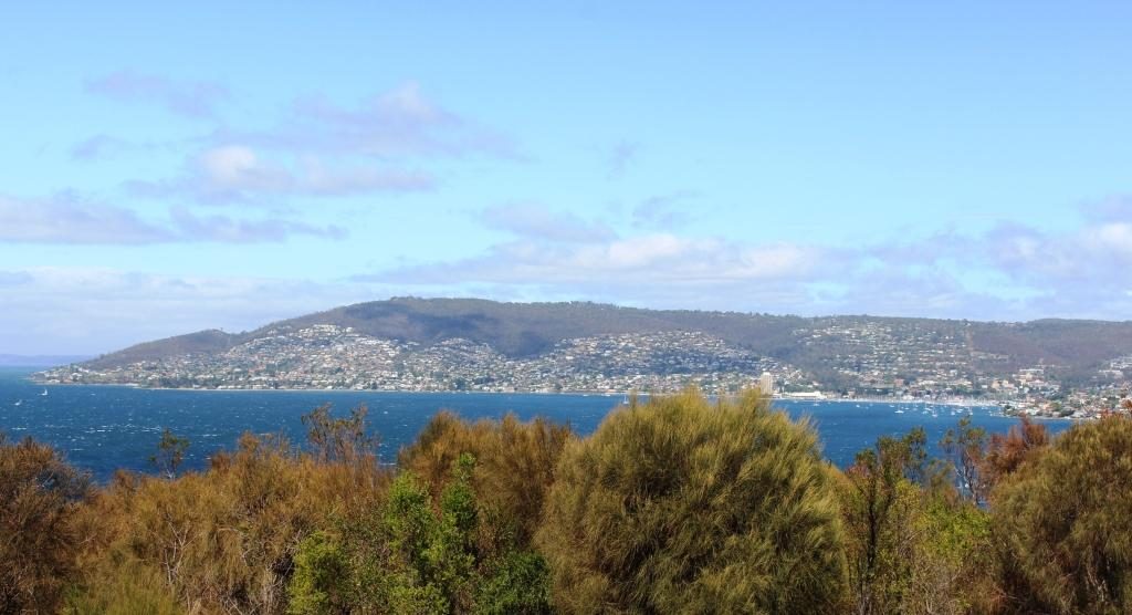
Hobart’s southern most west side suburbs
After retracing our steps back towards Hobart, we turned left and drove down the South Arm Peninsula to the southern end of the bay that is encompassed by the sweep of the peninsula as it turns back to the north. By this time we realised that we were too far south to see Hobart so we turned back north, keeping as close to the western shore of the Derwent as possible.
Cloud covered Mount WellingtonPort and City of Hobart from Rosney Hill Lookout
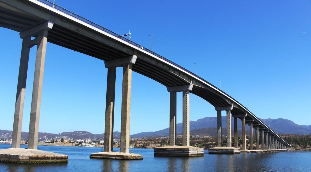
We drove past what used to be the Tasmania cricket ground, now their major sports stadium, and then turned back to the shore at Bellerieve. Then, quite by chance, because we turned left instead or going ahead, we came upon Rosney Hill Lookout near the eastern end of the Tasman Bridge. This elevated lookout gives splendid views of Hobart and it’s immediate suburbs on the west side of the Derwent, as well as of the Tasman Bridge. Mount Wellington provided a backdrop for the city. It’s summit was covered in cloud. Not the day to drive the road to the summit, we decided.
Those western shore suburbs again
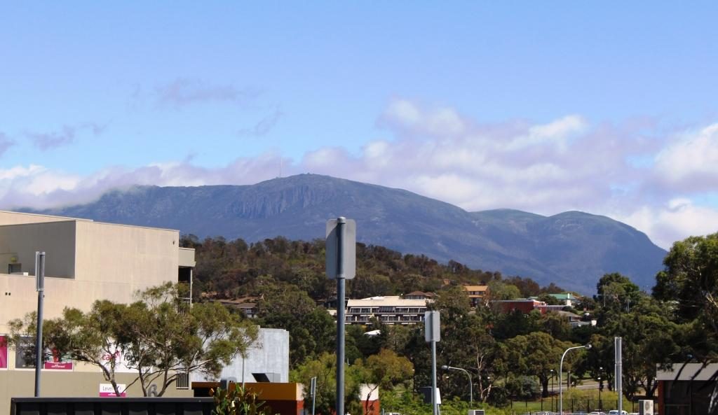
It was now lunch time, so we returned to the Rosney Park Mall in search of food. When we returned to the car Mount Wellington was clear of cloud, so with an hour to go to check in time we decided to drive to Mount Wellington prior to going to Sandy Bay to check in.
Mount Wellington summit is clear. Let’s go!
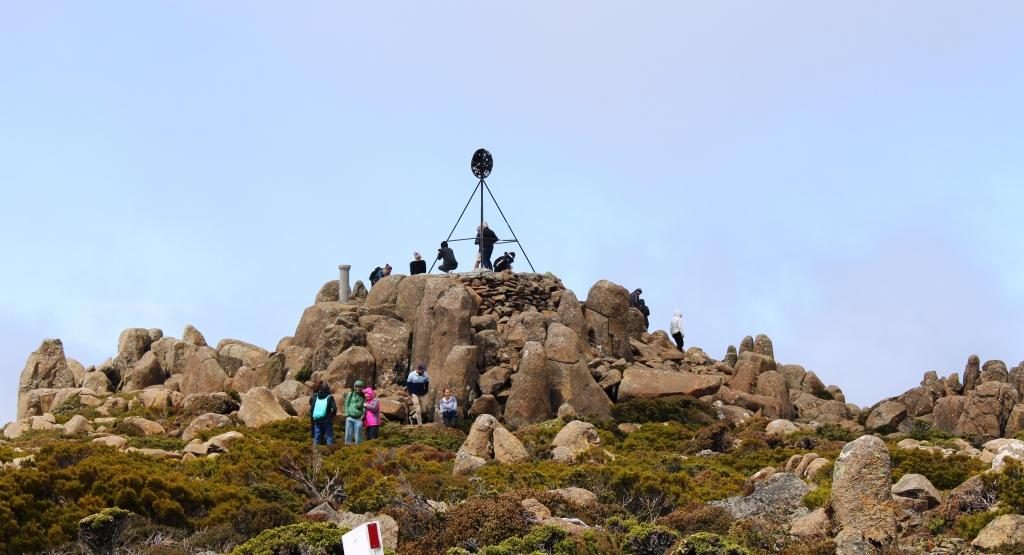
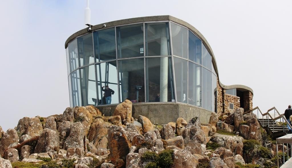
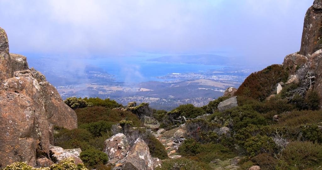
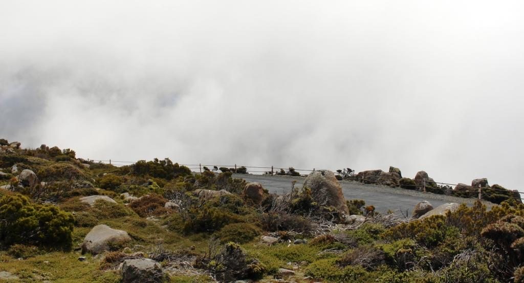
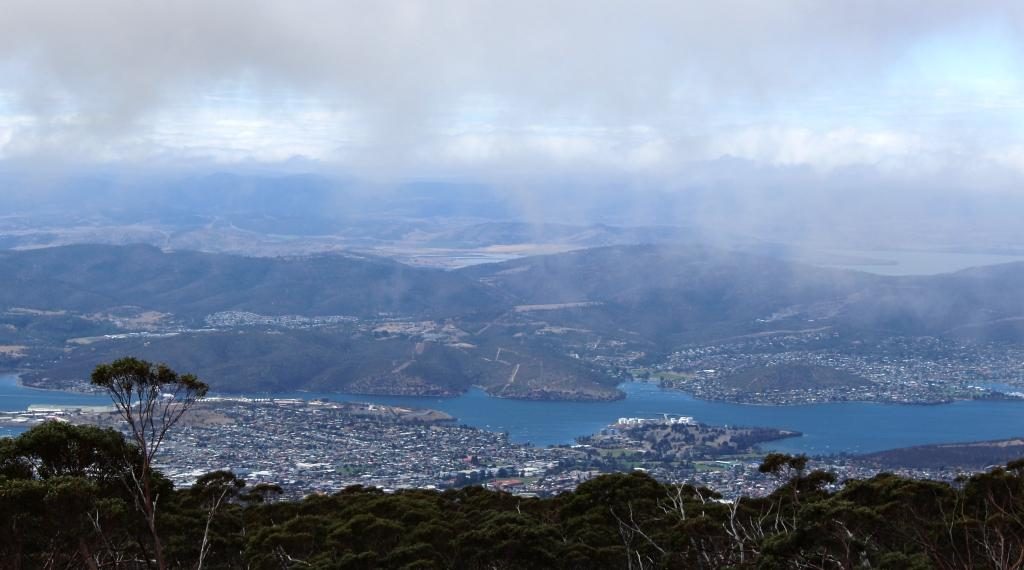
Mountain weather is not to be trusted, particularly as far south as Hobart. As we approached the summit we could see cloud drifting over. By the time that we had parked at the summit only glimpses of the views were to be had through gaps in the cloud. The wind over the summit was strong and cold. Ruth sheltered in the car while I dashed around getting the photos that I could.
The trig point at the summit of Mount Wellington.Mount Wellington viewing shelter gives good views of the city, provided that there are no clouds.Bruny Island through the cloudsCity and the Derwent River The cloud cover is complete but below the summit
There were better photo opportunities down the mountain, but not with the same panorama as that available from the summit, but with less cloud. We stopped while I took a few more shots.
The Derwent upstream of the cityNorth of Hobart and the Tasman Bridge
Our Hobart accommodation was the Bay Hotel Apartments at Sandy Bay, just a short drive from the City. The units are old but have been renovated to provide comfortable accommodation. We stayed for four nights, giving us three days in Hobart.
Our first day in Hobart was Sunday. We opted for a restful morning, so stayed in doors. After lunch we set off to check out the city, particularly the waterfront area. We found a parking station in the City. Street parking was near to impossible.
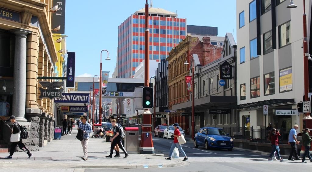
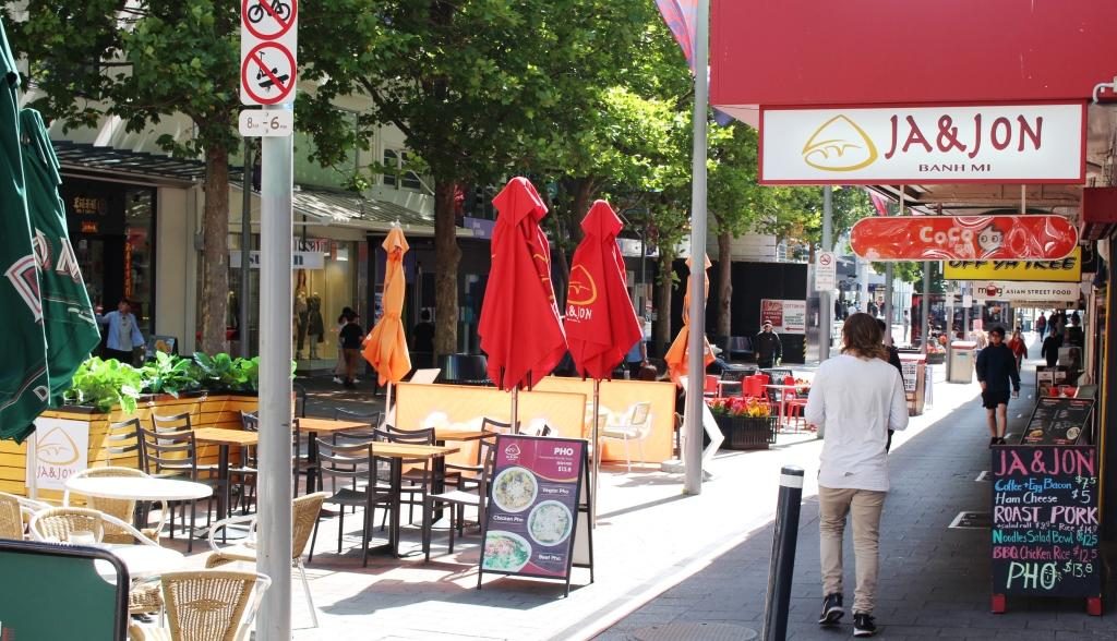
Elizabeth Street, HobartPart of the City Mall
Our first port of call was
the Information Centre where we loaded up with brochures. We then went
dockside, just a short walk away.
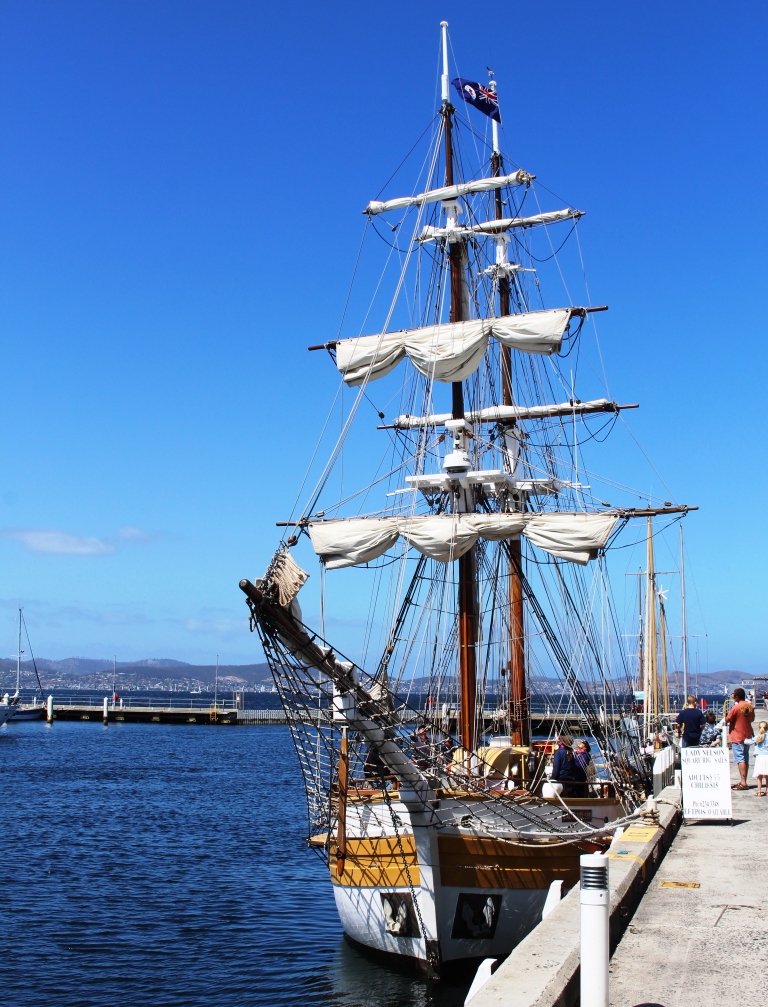
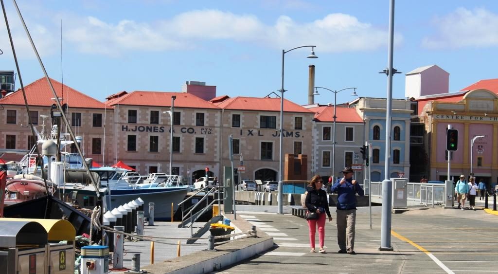
Full size replica of the Lady Nelson. In 1800 the original was the first ship to sail west to east through Bass Strait, shortening the voyage from England to Port Jackson. During the following years Lady Nelson was closely involved with exploring and settlement of Australia, particularly in the establishing of settlements at Hobart, Launceston and Port Philip Bay.The old Henry Jones IXL building is now a the up market Henry Jones Art Hotel
The day was cool but sunny in the afternoon. Despite car parking spaces being full there did not seem to be many people about. The dock area has many eating establishment, plus museums, boat cruises and shopping.
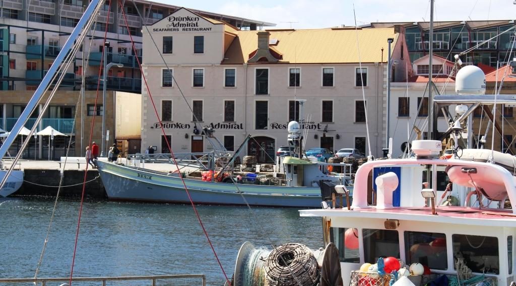
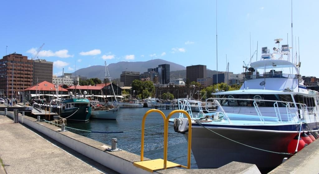
The Drunken Admiral Restaurant behind boats of the Hobart fishing fleetDock, city and mountain
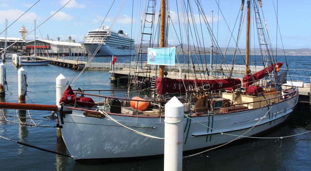
The cruise ship Viking Queen was in port but any resulting increase to the pedestrian traffic was not noticeable. We alternatively wandered and sat, snapping photos all the while.
The cruise ship Viking Queen viewed through the rigging of the sail training vessel Rhona H
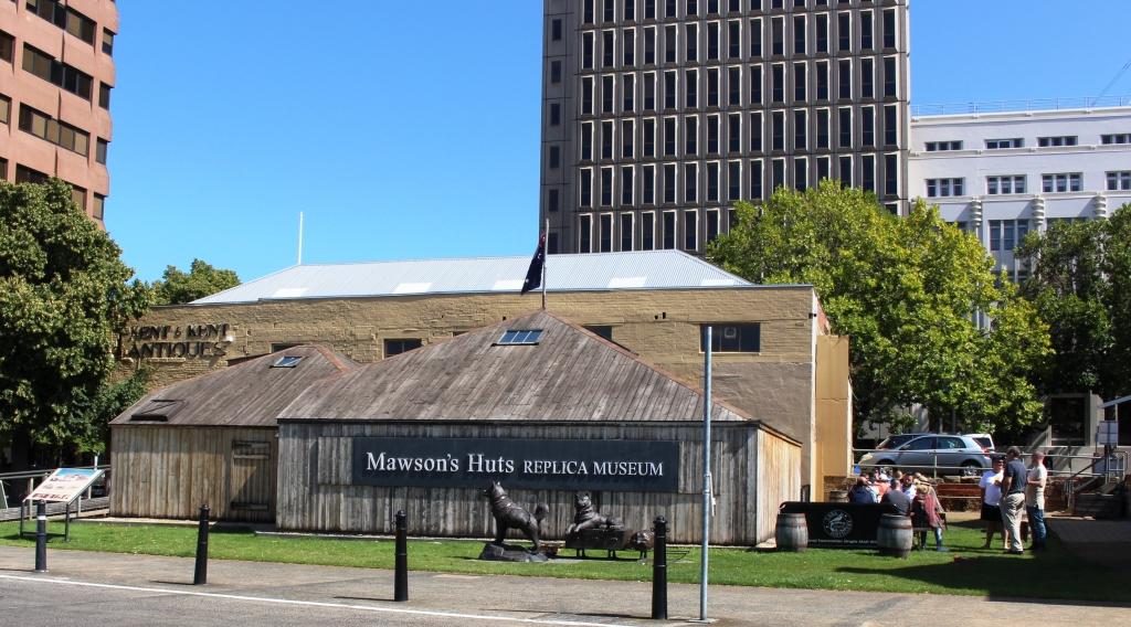
Situated directly behind the Constitution Dock area is a replica of the hut built by Sir Douglas Mawson and his group of polar explorers during the voyage to Antarctica during the period 1911 to 1914. We didn’t tour it, but it is an exact replica and houses a display of artifacks relating to Antarctica and the expedition. Hobart is the port from which services to Australia’s Antarctic bases are provided.
Hobart replica of the hut that Sir Douglas Mawson built during his 1911 to 1914 expedition to Antarctica
Ruth’s sister Judy had suggested we visit the old signal station on Mount Nelson, so we decided to go home that way. The observation point provides excellent views of the maritime approaches to Hobart. Judy also mentioned Devonshire teas at the cafe at the the car park. We can recommend them as well. There are excellent views from the observation area and the cafe.
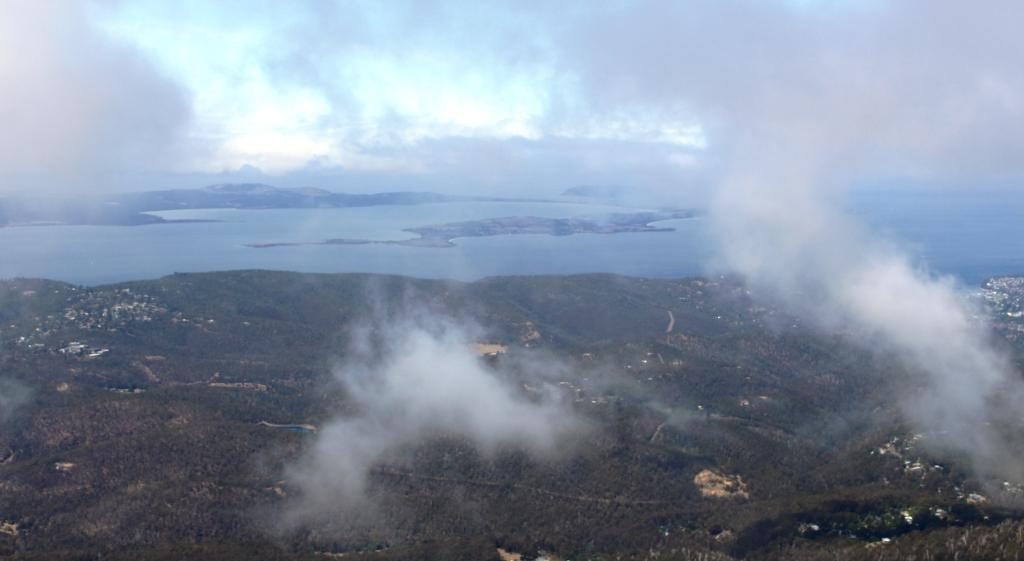
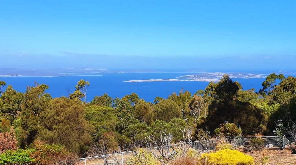
Bruny Island in the foreground and the South Arm Peninsula, in the background. The mouth of the Derwent River lies between. The d’Entrecasteaux Chanel separates Bruny Island from the main island of Tasmania
We then dropped down to the coast road at Wrest Point (literally, the road was very steep) and drove down the coast to Taroona. We didn’t realise that we were almost down to the historic shot tower, but a visit to the tower was on the list of things to do coming back through Hobart, after we had been south to the Huon Valley and Bruny Island.
We then returned to the unit for a quiet evening.
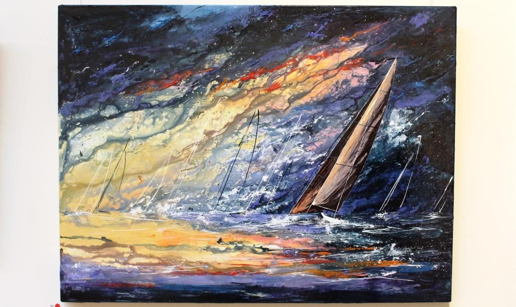
A painting of racing yachts in the Maritime Museum
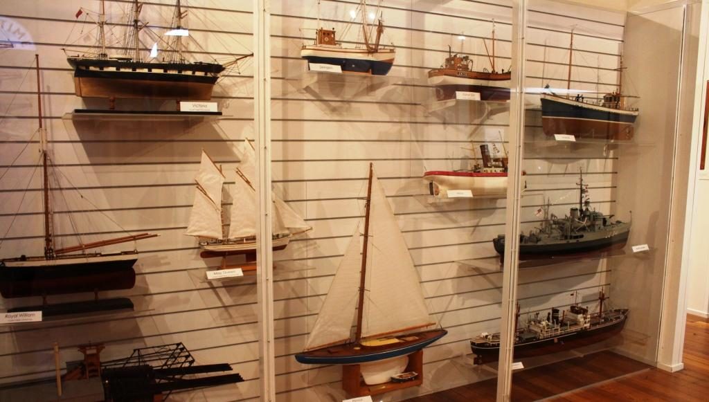
We returned to the city on Monday morning, found a long term parking space and made our way to the Tasmania Maritime Museum. This interesting place is conveniently located over the street from the Information Centre. There is a huge amount of nautical material to absorb, much of it historical. Some was familiar, some new. But it took up the early part of the morning.
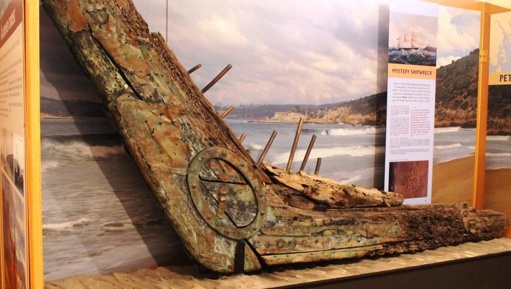
Models of boats in the MuseumThis is part of bow and keel from an unidentified wreck in Tasmanian waters
We had a late coffee and a walk before boarding the Spirit of Hobart for a 90 minute luncheon cruise. The route took us over the Derwent estuary area, both upstream and downstream of the harbour, being informed as we dined about a huge range of historical, political and social happenings. Part of the trip crossed the finishing line of the Sydney Hobart Yacht Race, but going the opposite direction to competing yachts. The lunch was excellent. The trip was really good value.
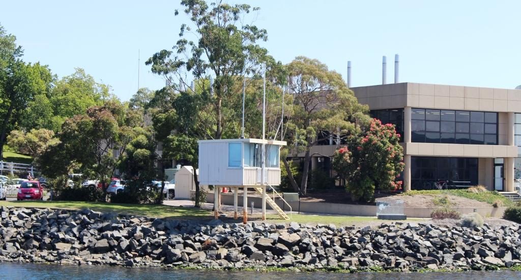
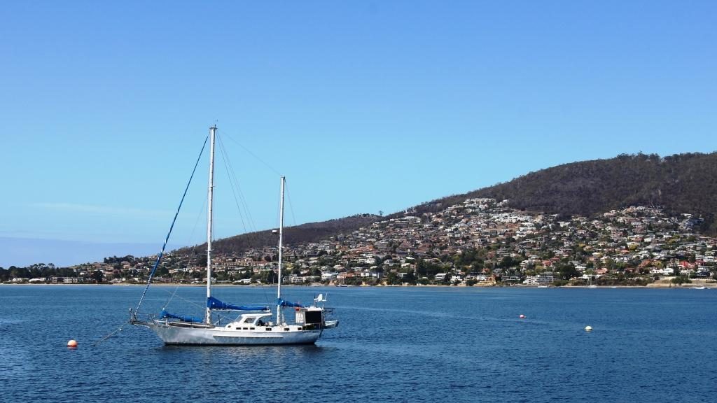
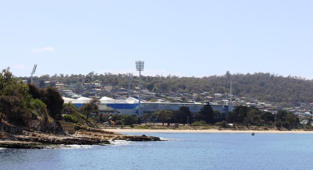
The saloon area of the Spirit of HobartThe judges box at the finishing line for the Sydney Hobart Yacht RaceA moored yacht with some of Hobart’s southern suburbs in the background. They would get a great view of finishing Sydney Hobart yachts from those homes.The former Hobart Cricket ground at Bellerieve is now an all purpose stadiumPassing under the Tasman Bridge
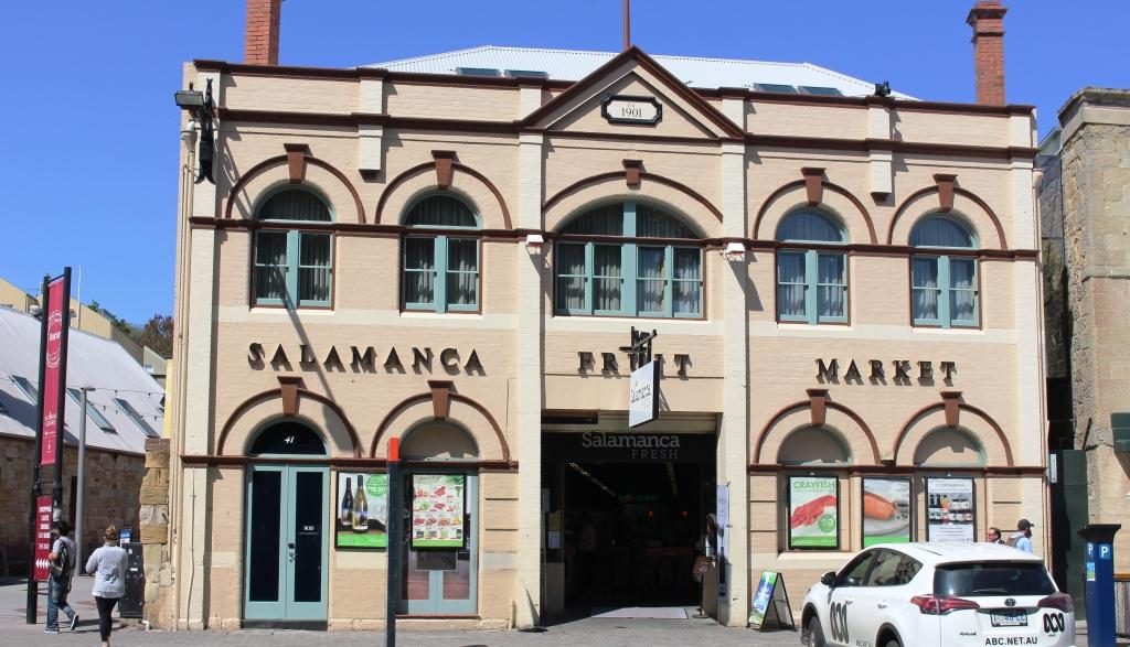
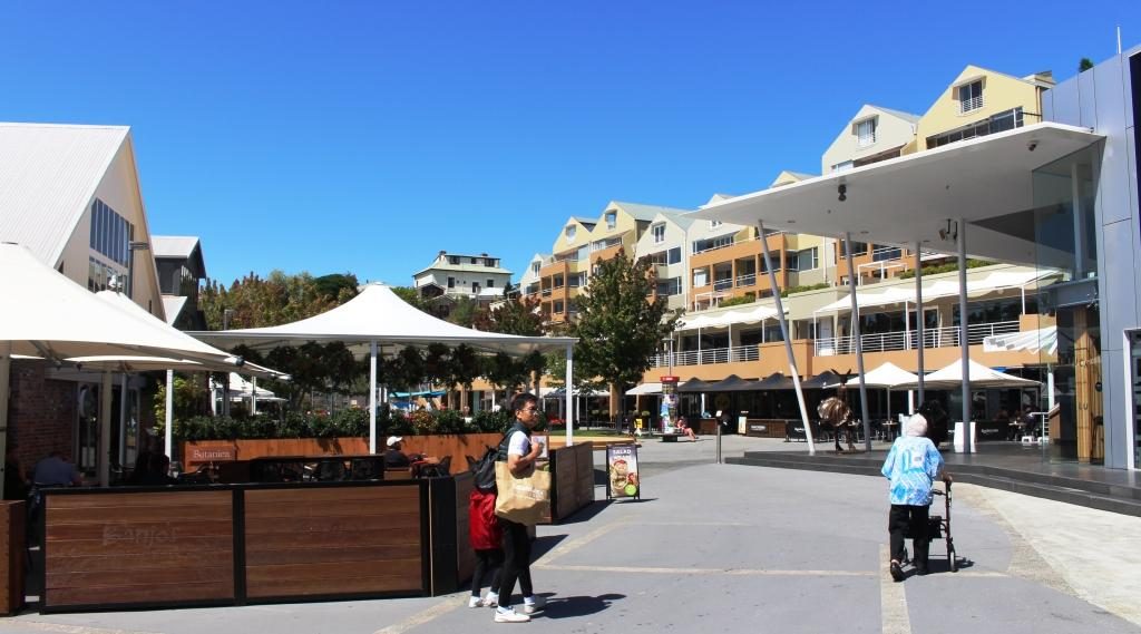
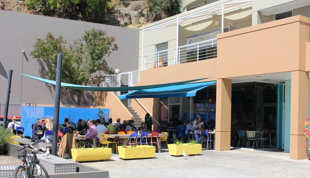
Back on shore, we took the short walk to the Salamanca precinct where old warehouse buildings have been converted to up stairs apartments and to commercial premises down stairs. Many of the businesses are food related. One interesting place is a laundry cafe. Lunch or snacks while the washing machine and the dryer churn seemed to be popular.
Salamanca Fruit MarketCourtyard area at Salamanca Markets.The Salamanca laundry cafe
With some time still left to the afternoon, we drove out to the convict women’s prison at Cascade. Traffic was thick on near city streets because of an accident, so by the time we arrived there was only 20 minutes till closing time. The place is heritage listed and looked interesting so we decided to return the next day. About 10,000 female convicts were sent to Hobart.
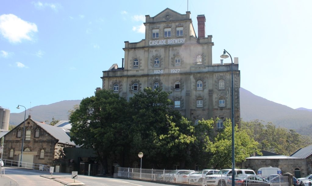
Original buildings at Cascade Brewery
Since we were in Cascade we went another 500 metres or so to take a look at Cascade Brewery. It proved to be a quite substantial establishment. Judging by the size of a tour group that we saw the tours are popular. No doubt a sample of the product is included.
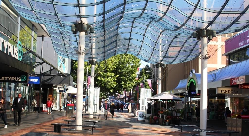
Covered portion of the Hobart city mall
Tuesday was our last day in Hobart, so we started in the city centre, checking shops for a couple of things that we needed. But a city centre is a city centre and they are all similar. From those many years ago when we toured Tasmania I recalled the Cat and Fiddle arcade as a sort of quirky kind of place. We found it again but it is now quite bland. Just a mall with shops.
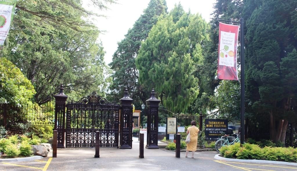
The main gate of the Hobart Botanical Gardens
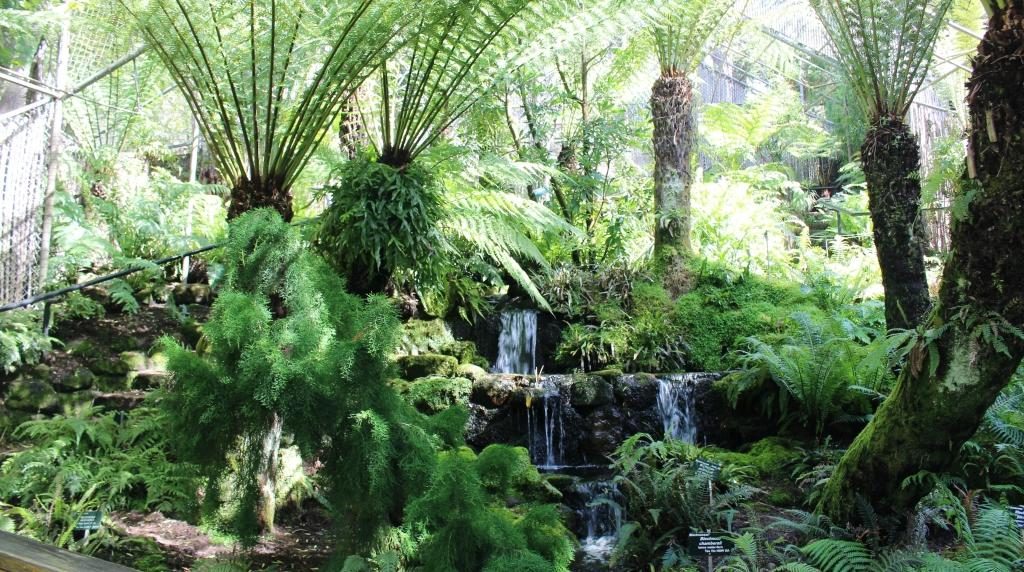
Next stop was the Botanical Gardens. They are located a short drive from the City and parking was not an issue. We walked through sufficient of the area in a couple of hours to get a good feel for the place. Botanical gardens, particularly those in capital cities, rarely disappoint and Hobart’s effort is no exception.
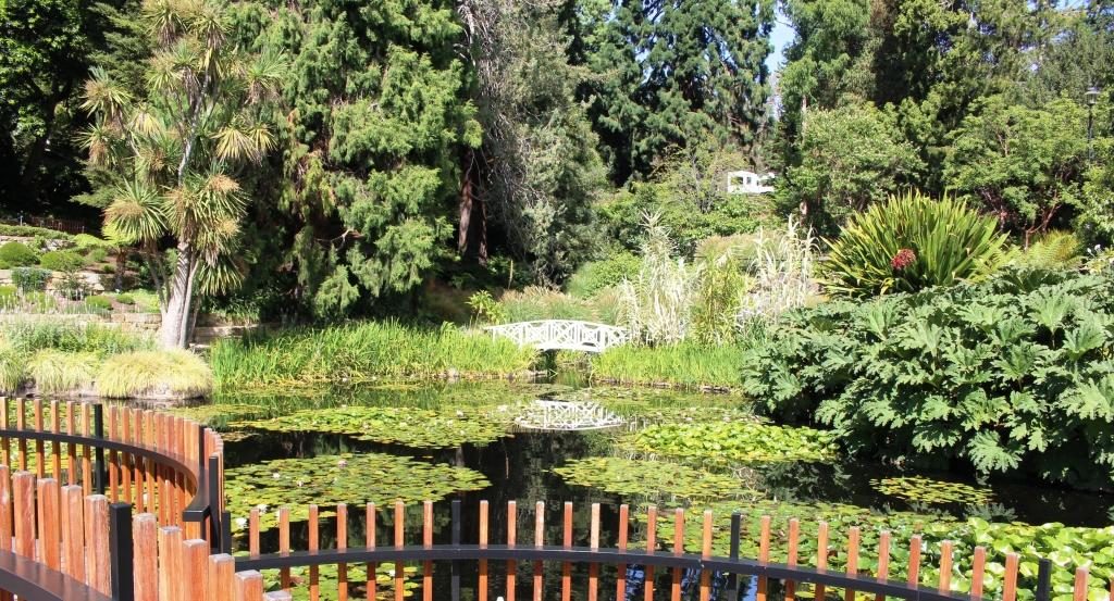
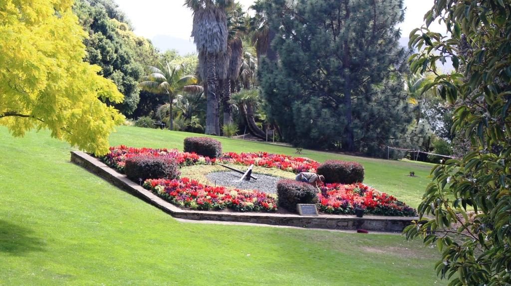
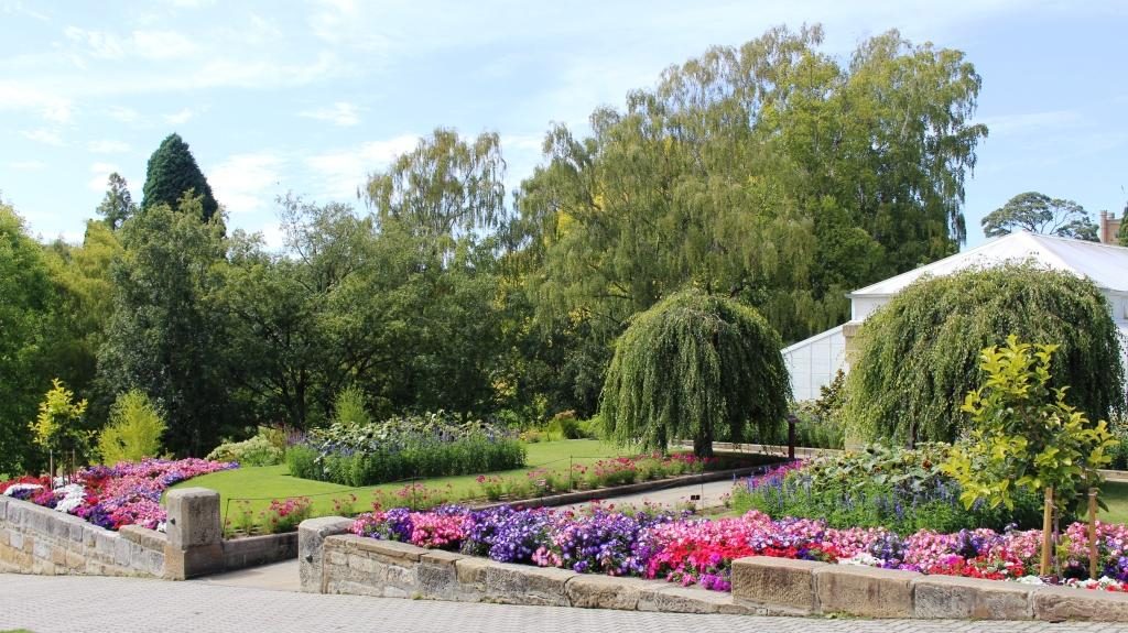
Fern covered waterfall on the hill sideWater Lilly ponds and deckThe floral clock. Sorry about the gardener in the photo. Gardens at the entrance if the conservatory in the gardens
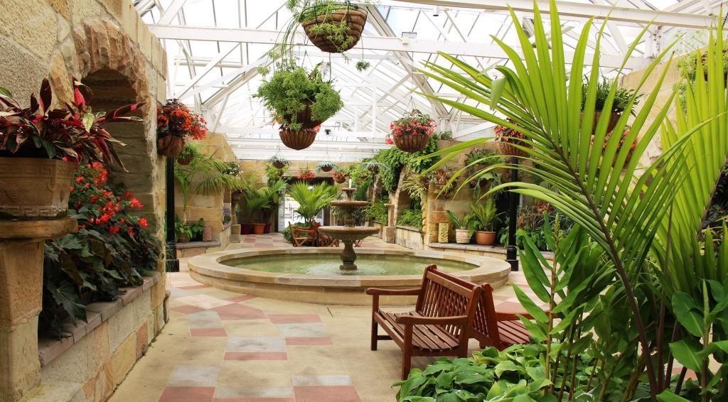
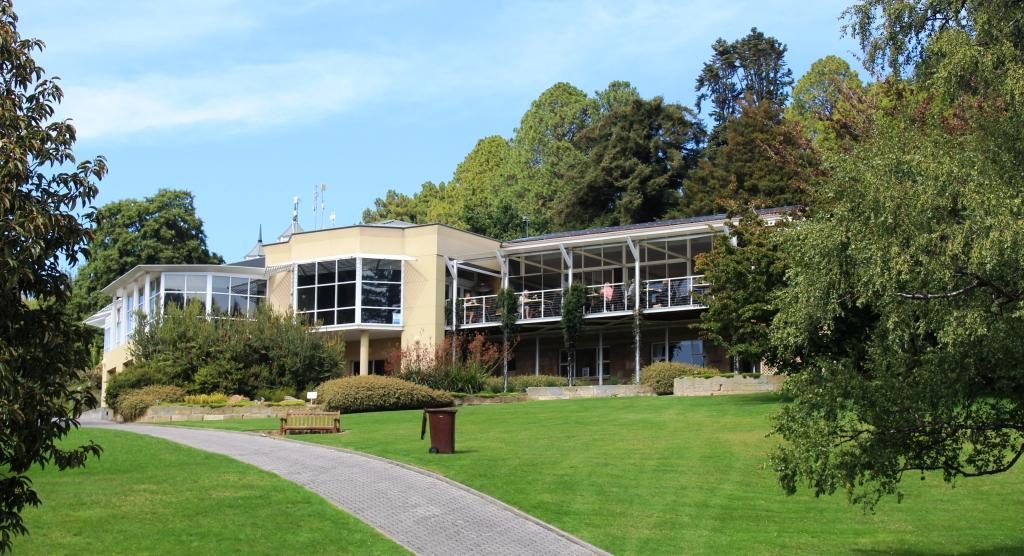
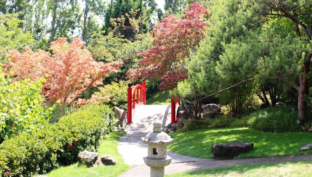
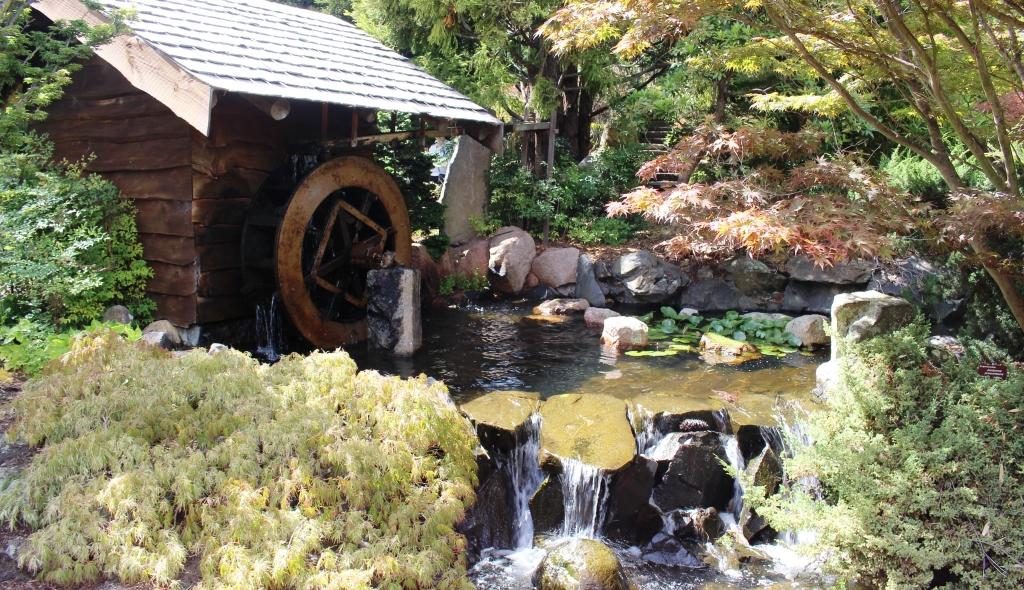
Inside, the conservatory is spacious with seating for those who want to sit for a while.Administration offices, gift shop and cafeEntrance to the Japanese gardenWater wheel and water fall in the Japanese garden
A drive to the northern suburbs followed. We stopped in Glenorchy for some lunch and then came back for a second try at the female convict penitentiary. Back in the day the female convict establishment was called a factory. Placing female convicts into service with Hobart households was part of the transportation plan. To have worked in a factory did not have the stigma of having been an inmate of a prison.
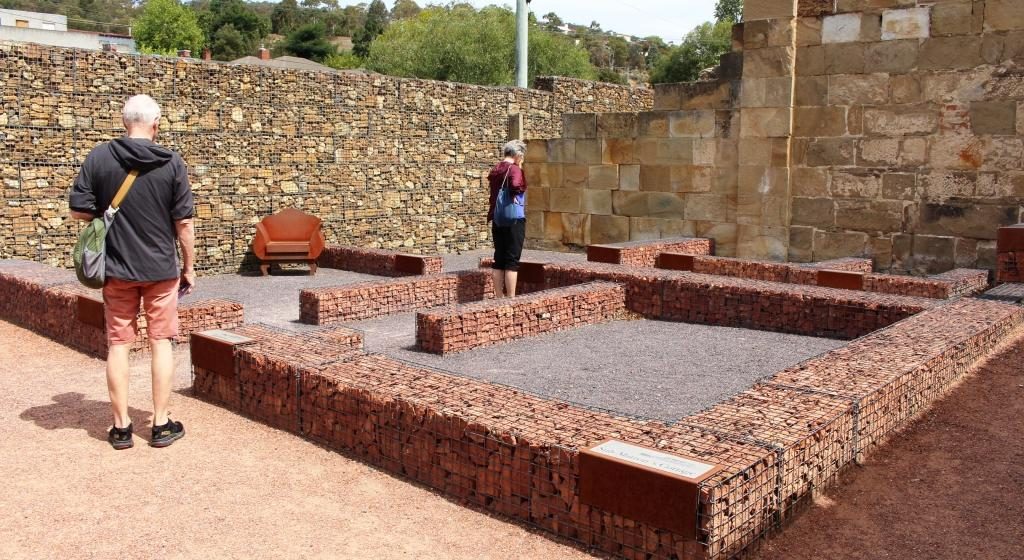
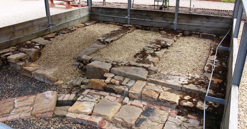
This was the layout of a supervisor’s cottageThe layout of prisoner accommodation buildings with original buildings in the background.An area of original convict workmanship
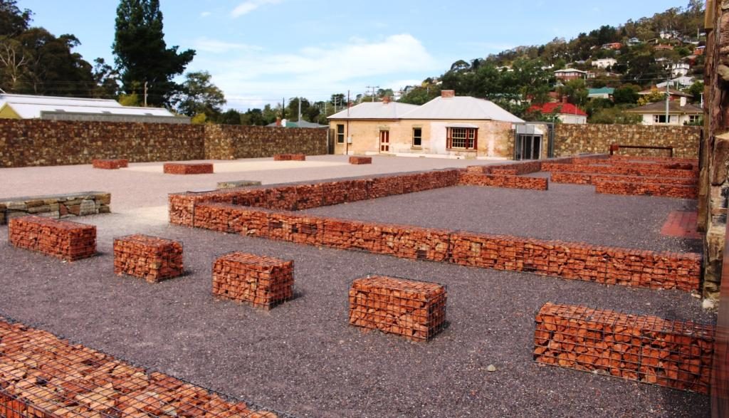
But jails they were, with sentences to be served behind stone walls. A couple of buildings still stand but in most of the area the lay outs of buildings are marked by wire crated stones. Information plaques are widely used to explain it all. It is well worth a visit. Conducted tours are lead by theatre folk, so for a added cost you can have the story told by an actress who will provide a full costumed performance.
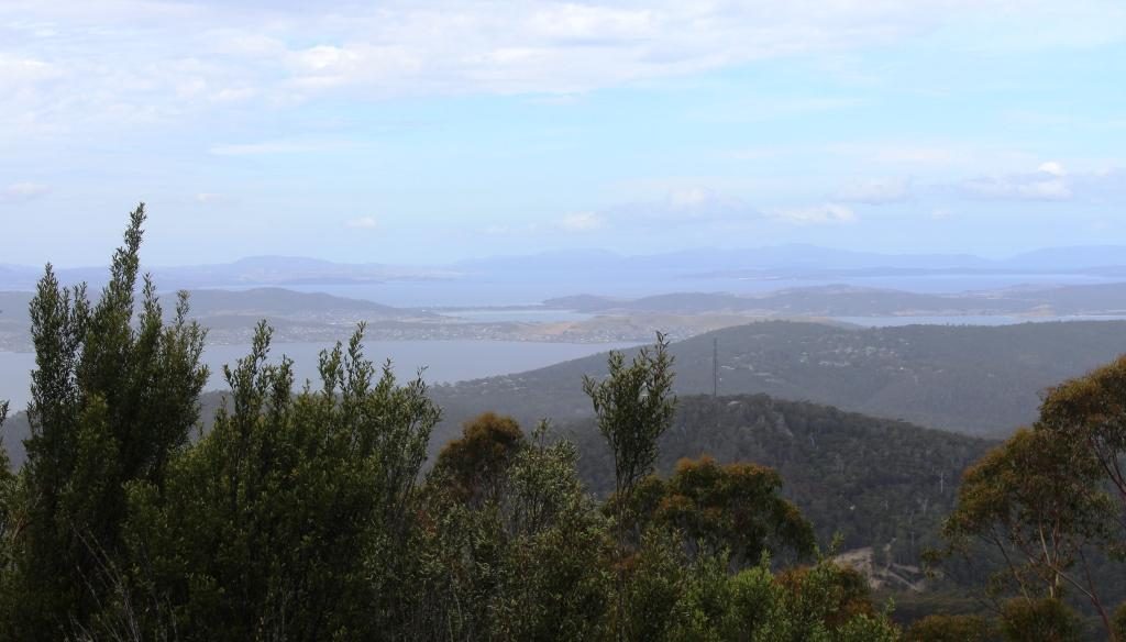
South Arm Peninsula over the Derwent, viewed from part way up Mount Wellington
We looked
up at Mount Wellington again but its summit was playing tag with cloud. So we
drove about half way up to where we were well below the cloud base but there
are lookout points provided at the end of a short walk. The views were worth
the effort.
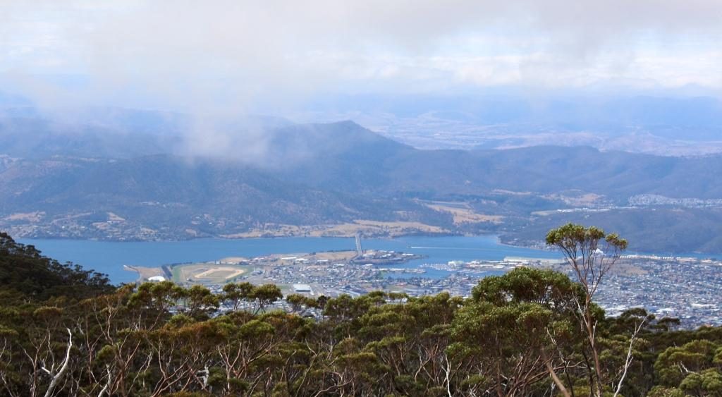
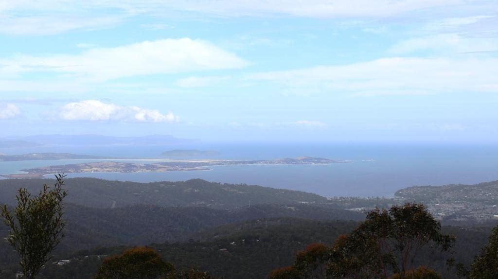
View beyond Hobart and the Derwent over the airport area, Seven Mile Beach and the Tasman Peninsula
We concluded our stay in Hobart by dining out in the evening at The Drunken Admiral Restaurant. Located in one of the wharf side buildings, this well known eatery has been in continuous operation for over forty years. I had dined there when in Hobart on business early in its life, so decided to take Ruth there. I chose the same dish as on the previous visit, the signature dish of seafood chowder. It was as I remembered. The waitress assured me that the recipe had not changed.
Neighbouring tables at The Drunken Admiral where we went to dinner.
Please Note: Videos covering the material in this blog post can be found at the bottom of the post.
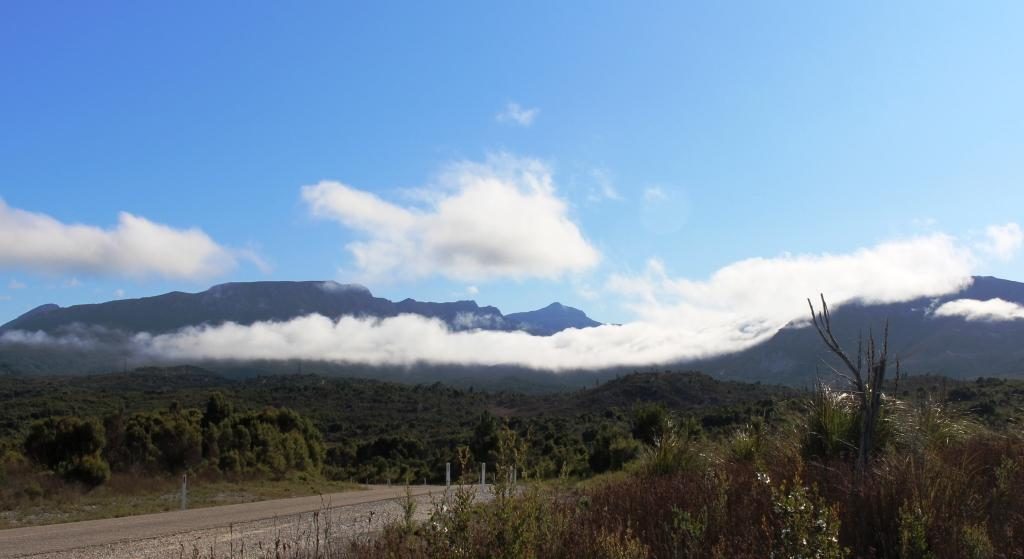
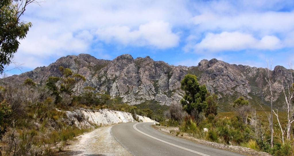
Clouds against mountains approaching Queenstown from Strahan
There was a suspicion of drizzle as we packed the car to leave Strahan. In several areas, as we drove to Queenstown, our way was partly obscured by cloud cover that sat atop the mountains like a blanket. The point from which we viewed the mountains behind Queenstown the previous morning was a totally clouded, with no view at all. As we approached Queenstown, banks of cloud hung in front of the mountain range, but all of the cloud vanished as we drove up the range towards the east to give us an almost cloudless sky.
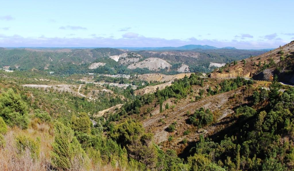
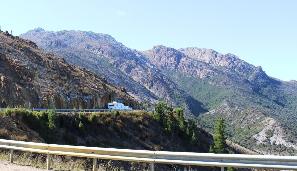
Queenstown from the Lyell Highway heading eastQueenstown in the valley and the road east clinging to the side of the mountainA caravan making its way up the mountain from Queenstown
We paused at Queenstown for
fuel and stopped again at the observation point part way up the baron slopes
for that final view of the town.
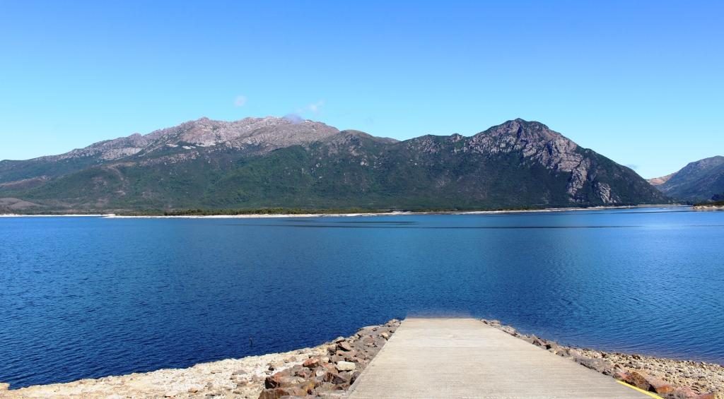
Lake Burberry is one of
Tasmania’s newer dams. The Lyell Highway crosses it by bridge at its narrowest
point. A National Parks camping area on
the east bank provides picnic facilities, so we stopped there for morning
coffee.
Lake Burberry has a good boat launching ramp
The road from the dam to
Derwent Bridge runs through endless national park, and is lined with an
infinite variety of vegetation as it passes over mountain ranges and through
rain forest filled valleys.
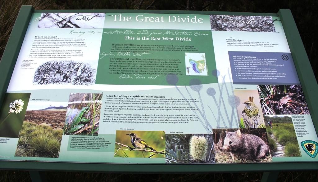
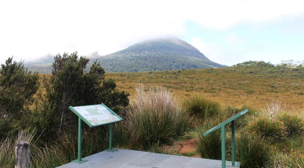
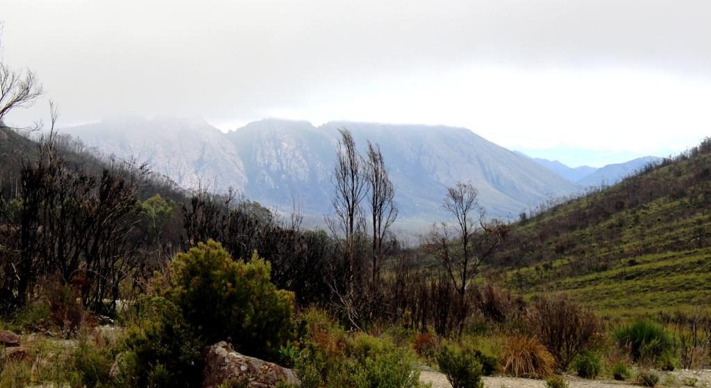
Information at the highest point on the Lyell Highway between Queenstown and Derwent Bridge A view into misty mountains at the geographic high point
At a number of places along
this road there are parking areas giving access to short to medium walks to
features such as lookouts and waterfalls. One parking area is the starting point for
longer walks that extend to several days in the area of the Frenchman’s Cap
range. Another stop marks the highest
point in the range that divides east from west. Interestingly, we could see
Frenchman’s Cap from the boat on Macquarie Harbour. At 1,446 metres it is quite prominent.
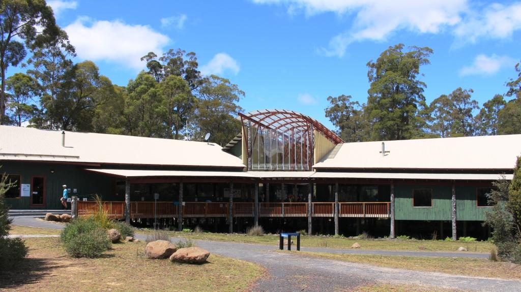
National Park visitor centre at Lake St. Clair
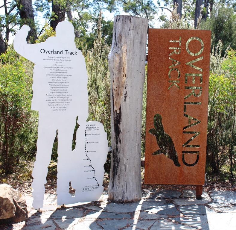
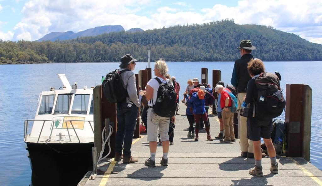
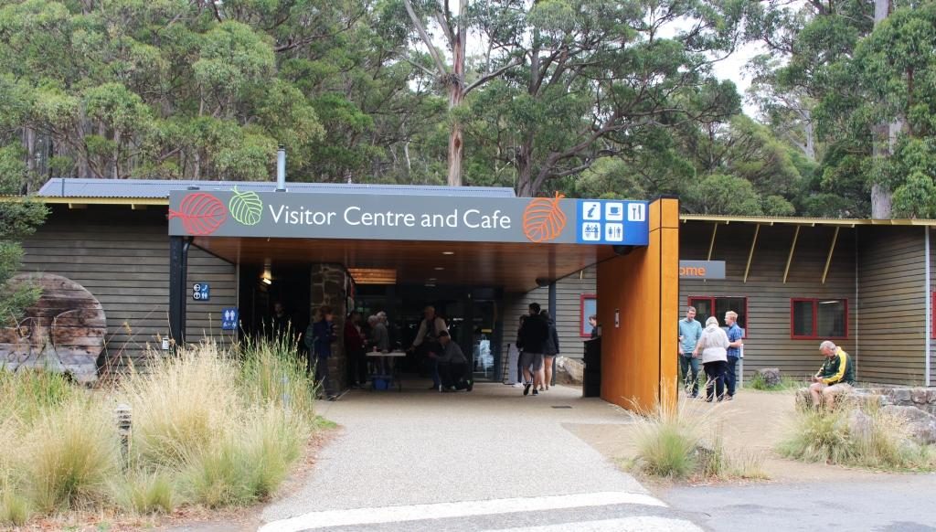
We turned at the small town of Derwent Bridge for the short drive to the Lake St Clair National Park Visitor Centre. As well as being a worthwhile place to call, it is the southern end of the Cradle Mountain to Lake St Clair 6 to 7 day walk. Many hikers, carrying back packs, were either arriving from the walk or waiting to leave to walk north. A ferry service links the southern end of the walk with the visitor centre at Lake St Clair.
The official end of the Overland Trail from Cradle Mountain to Lake St Clair
We had intended to have a
picnic lunch at Lake St Clair, but we were attacked by a swarm of March flies.
Tasmania seems to have a March fly plague but today was the worst that we had
encountered. So the picnic went back in
the car and we took refuge in the restaurant.
Arriving and departing hikers at Lake St Clair ferry
It is about 140 km from
Derwent Bridge, mostly down the Derwent Valley, to New Norfolk. Most of the journey
is through mountainous timbered country. The road passes a number of dams used
for hydro electricity generation. In the
Tarraleah area, we saw a couple of sets of huge water supply pipes descending
steeply into power stations.
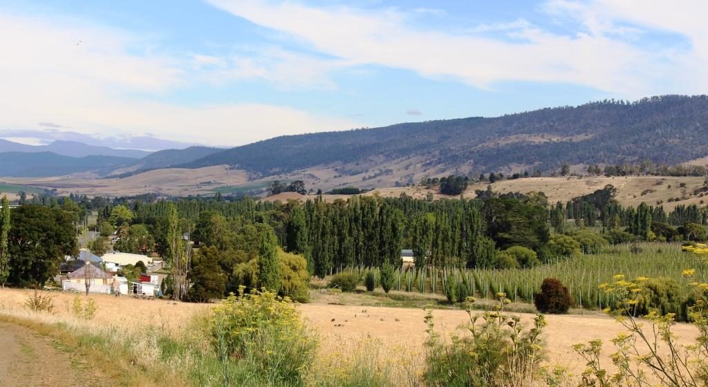
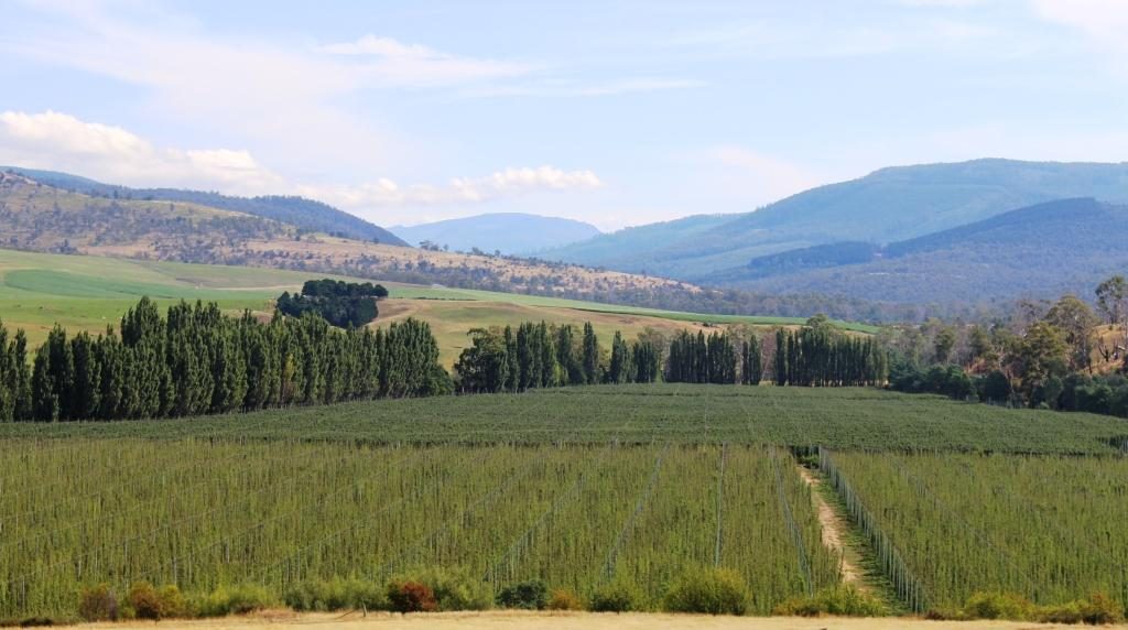
Derwent Valley near New NorfolkHop fields, Derwent Valley
The forests finally give way to farm country with grazing cattle beside the road. Just before New Norfolk, orchards appear along the banks of the Derwent, which is quite a substantial river at this point.
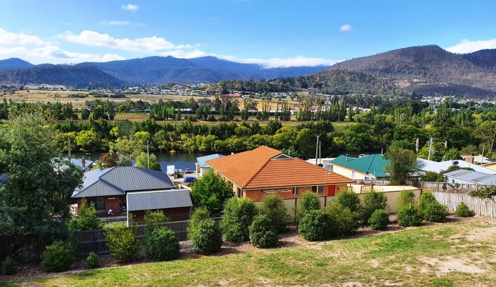
Our apartment was on a hillside overlooking the Derwent River, with views over the town on the eastern bank and the mountains beyond. We were there for three nights. New Norfolk was our first encounter with a digital reception. A sign on the door gave a phone number to call, A code was then sent, by text message. The code was our door key.
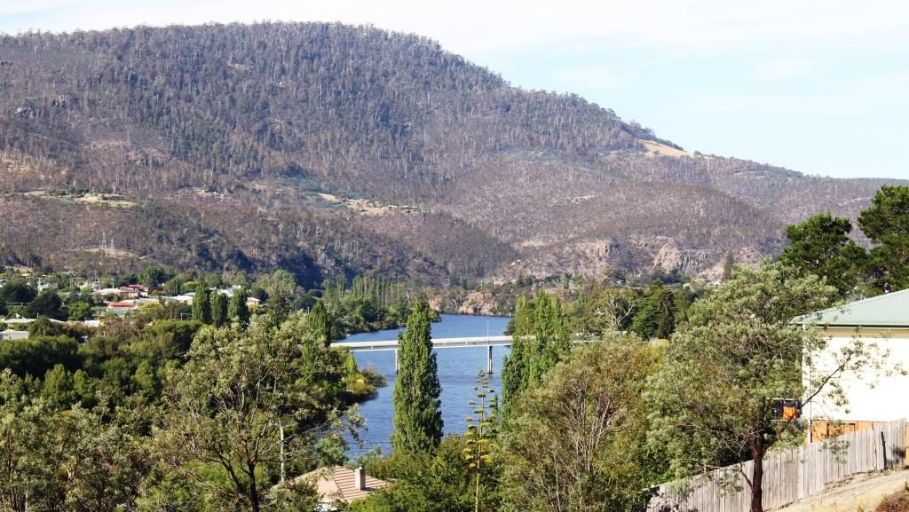
New Norfolk and the Derwent River from our balcony at New NorfolkLyell Highway bridge over the Derwent at New Norfolk
If someone tells you that more
trees should be planted, tell them to visit Tasmania. We spent yet another day
driving through trees, trees and more trees. Tasmania’s south and south west
have an abundance of trees.
We started the day with some
medical maintenance at a New Norfolk pharmacy and then headed for the trees and
the mountains. In Tasmania trees and mountains seem to go together.
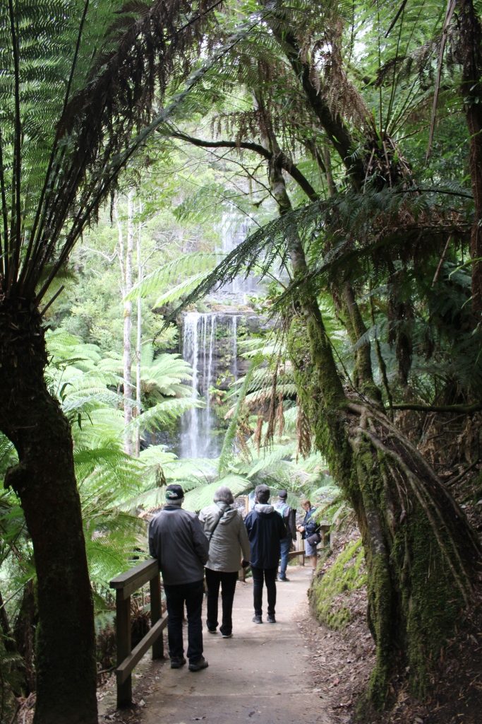
The road on the west side of the Derwent is a shorter route to Mount Field National Park. There is quite a lot to do in this extensive park but time limited us to the short walk to Russell Falls. Like many falls walks the path leads along the ravine that carry the waters of the host stream. The view of the tiered cascade is all the reward needed for the easy 30 minute walk.
Russell Falls, Mount Field National ParkRussell Falls are popular. It was hard to get photos without strangers in them.
Like Lake St Clair, the visitor centre here was busy. There are a number of walks and other attractions and it is only about 80 km from Hobart. Some walks lead to elevations that provide views back along the Derwent Valley to Hobart. Given an absence of cloud, of course.
Mount Field National Park Visitor Centre.
We then drove on a further 95 km along the Gordon River Road to reach the Gordon Dam and Lake Gordon. It is a lonely road passing through a handful of small locations, the last and most substantial of which is Maydena, followed by 70 km of sealed mountain forest road.
Misty mountain on the road to Gordon Dam
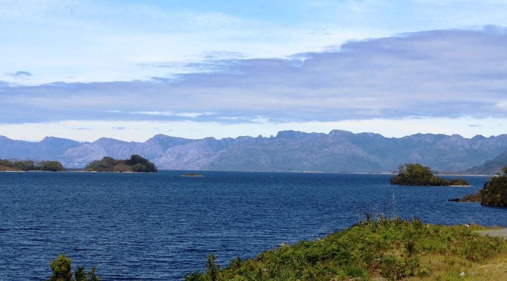
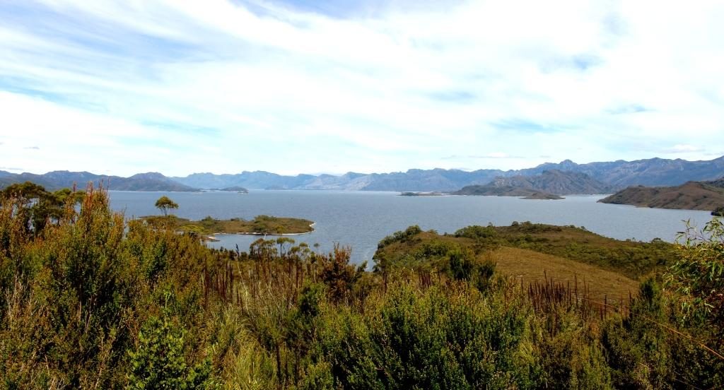
Lake Gordon and its neighbour, the better known Lake Pedder, are just over a ridge from each other at Strathgordon. There was a huge environmental fight over Lake Pedder that the Hydro Commission eventually won, which helped achieve its icon status.
The Sentinel Range near Lake Pedder
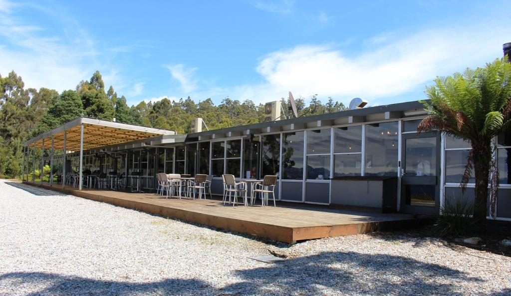
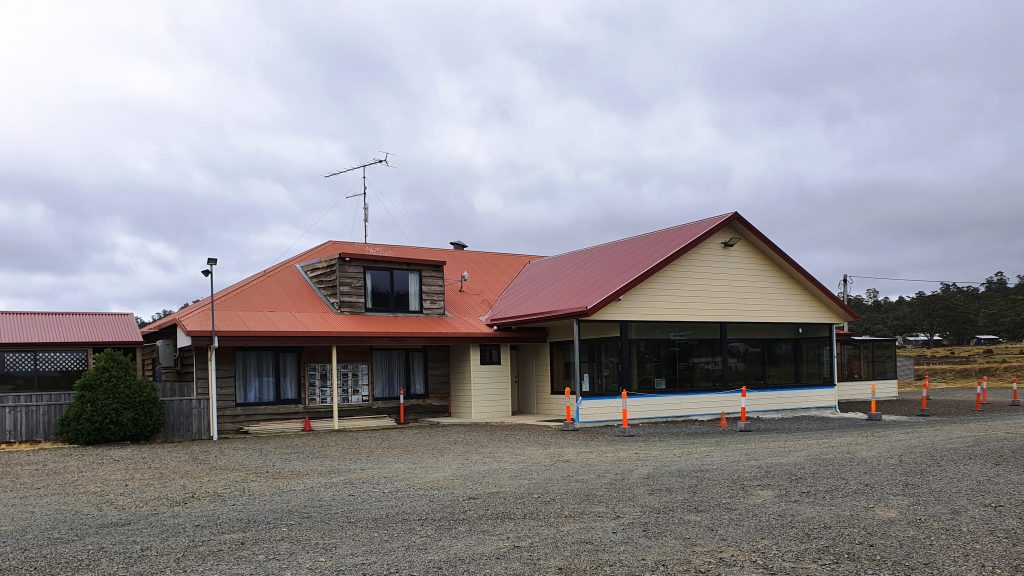
Strathgordon was only ever a dam construction town. Nothing much has changed, with administration and some worker accommodation still there. What was, I think, the single worker facility, is now a wilderness lodge that provides accommodation as well as the facilities of a pub, cafe, restaurant and coffee shop. Fuel is available as well.
Lake Pedder Wilderness LodgeView of Lake Pedder from the Lodge
These huge water storages look fantastic as they lie among the mountain ranges, some of which are densely forested and others massive piles of almost bare rock. A clear sky produced striking reflected blue water.
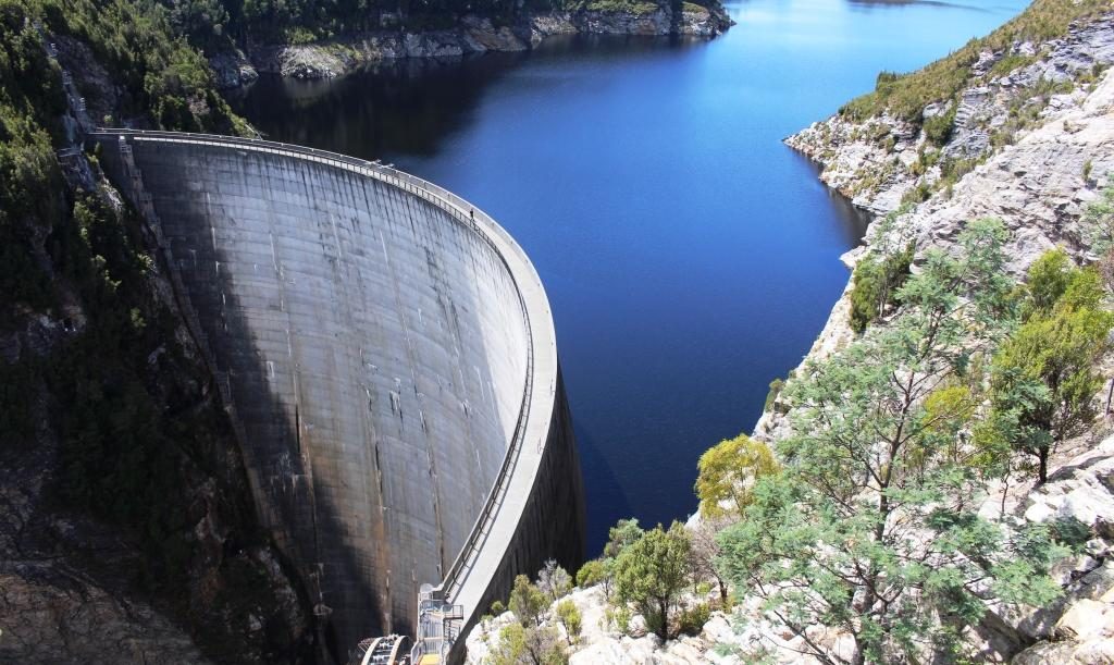
Gordon dam is 140 metres high
The dam that holds back the waters of Lake Gordon is quite a sight at 140 metres high with a pronounced curve in the wall to cope with extreme pressure. Both lakes cover more than 500 square kilometres and hold the equivalent of 37 Sydney harbours.
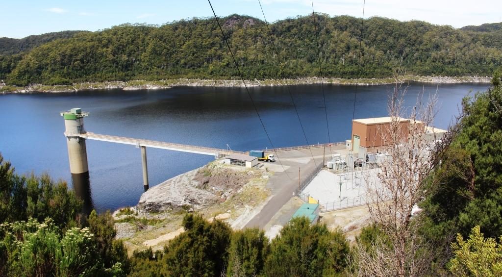
The bottom of the wall of Gordon Dam is accessible by these stairs. It is a long way down.Outlet and part of the power station at Lake GordonLake Pedder from the road to Gordon DamThis channel carries water from Lake Pedder to Lake Gordon
Gordon and Pedder dams are connected by a narrow channel that carries water from Lake Pedder to Lake Gordon. Lake Pedder appears not to have its own hydro power generator. Its water is directed through the Lake Gordon.
The return journey is over the same road as we travelled outward bound. We used Maydena as an ice-cream stop, pleasantly absorbing the warmth of the afternoon sun as we enjoyed the treats. And so, back to our comfortable unit, which was easily the best accommodation that we had so far occupied in Tasmania.
The next day, Friday, dawned
overcast with a chill breeze. Just the day to drive through areas where snow
regularly falls during winter. We were bound for The Great Lake in the Central
Highlands of Tasmania but by an indirect route.
We drove down the east bank of the Derwent River to Bridgewater and joined Highway One, heading north. Downstream from New Norfolk, the river is not as confined by its banks and sprawls into wider expenses of water, some of which are shallow and marshy. The bridge at Bridgewater is at one this wider area so the bridge is rather long with a causeway and a lift section for taller boats.
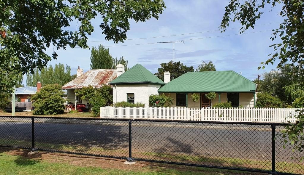
Historic houses at Bothwell are still in use
Highway One, the Midland Highway is the main road link between Launceston and Hobart. After about 50 km we turned left for Bothwell, a small rural town, full of historical buildings. A sheltered corner in the park provided a morning coffee stop and a pause while we looked at history dating back to early settlement in Tasmania. The area was settled by farmers in the 1820s.
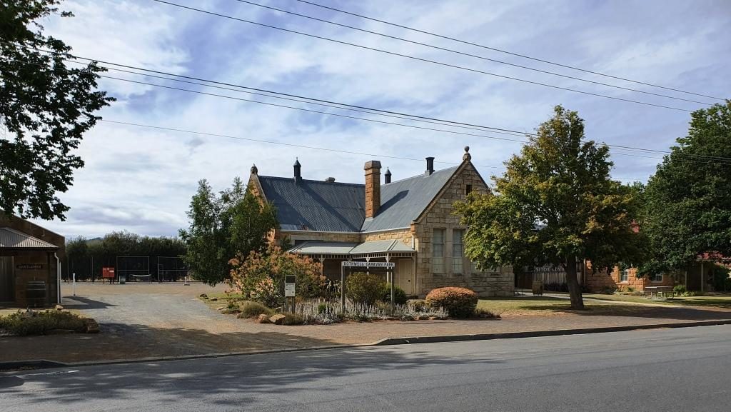
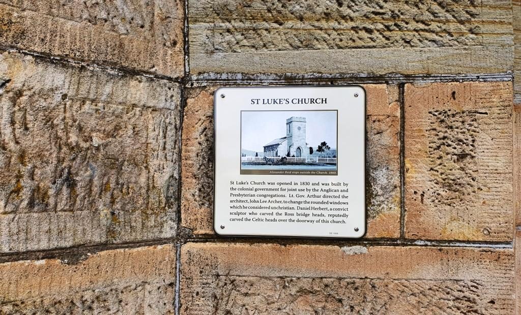
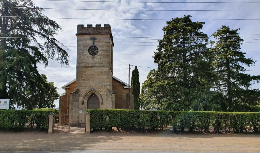
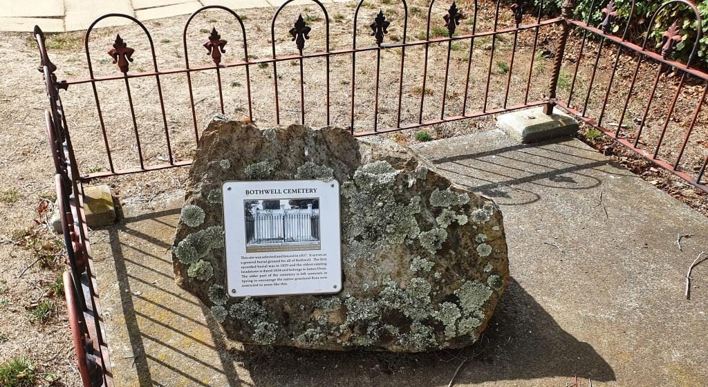
The visitor information centre at BothwellHistoric plaque on St Lukes church in Bothwell, The plaque dates the building at 1830.St Lukes church was built in 1830Part of St Lukes’ cemetery
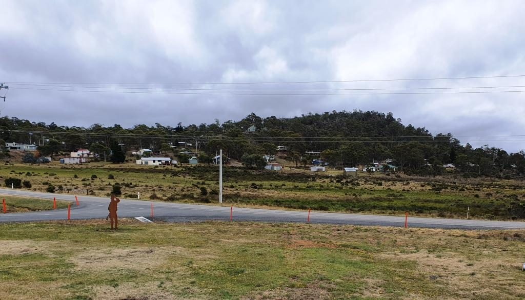
After Bothwell, the road continues to the North West until Miena is reached. Miena is a spread out town of highland holiday houses and well housed permanent residents. A couple of small hills provide lots of water view opportunities over the southern end of the Great Lake.
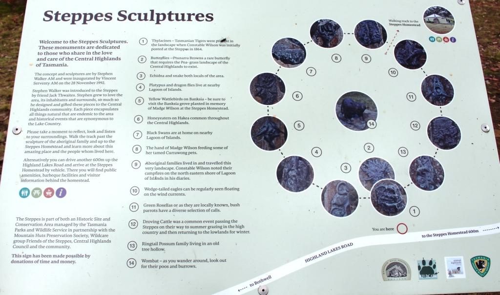
The Steppes Sculptures information board
The only real point of interest along the road to Miena, about half way, is a collection of sculptures, in the bush just off the road. They are at the end of a short dirt road with a small parking area. The road is marked by a simple sign that announces the “Steppes Sculptures”.
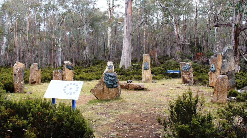
Plinths holding animal sculptures form a circle
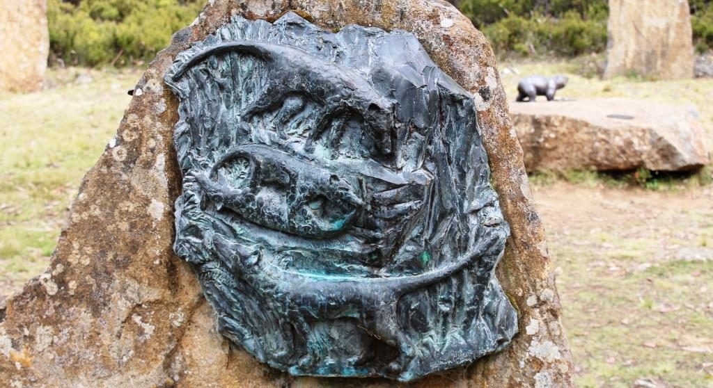
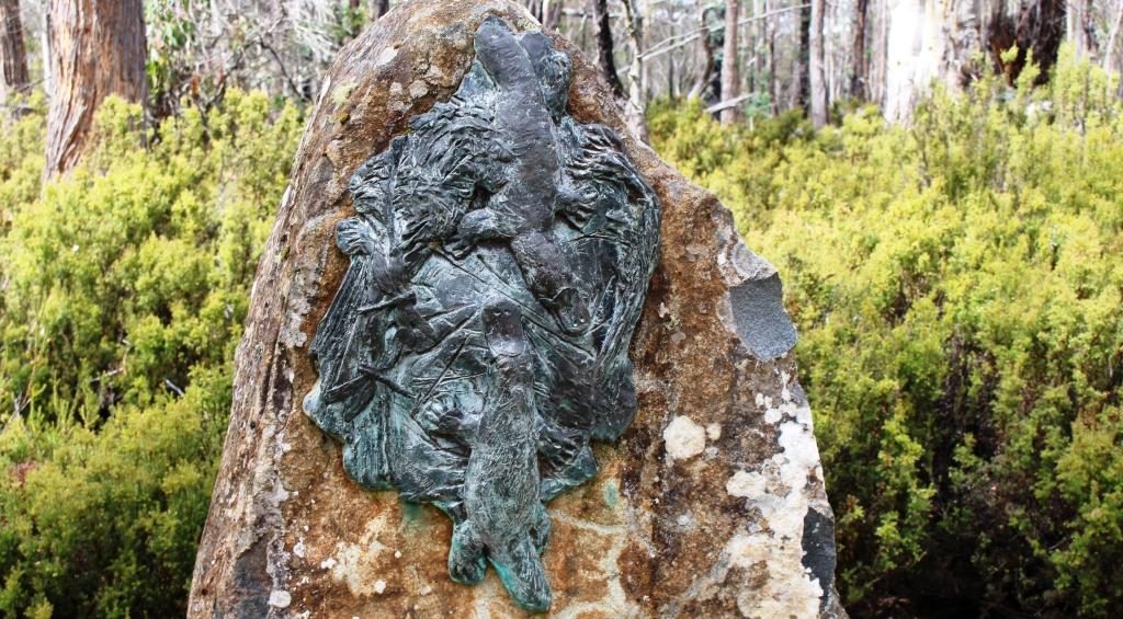
A short walk away a circle of twelve stone plinths each hold a bronze sculpture with a thirteenth in the centre. They are the work of Stephen Walker, a well known sculpture who has work that decorates the Hobart waterfront and who sculpted the whale memorial at Cockle Creek. More of Cockle Creek in a future post.
This appears to be a Tasmanian Devil
Sculpture of Platypus
The area is known as The Steppes, presumably because it is part of the area that “steps” up to the highlands. A historic farm house on the property can be visited either by a short walk or a short drive. We passed up on the house as it is not often open and it was not a day to be out of the car for too long without being rugged up.
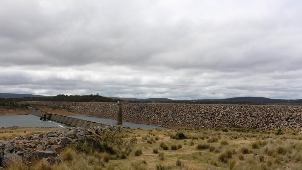
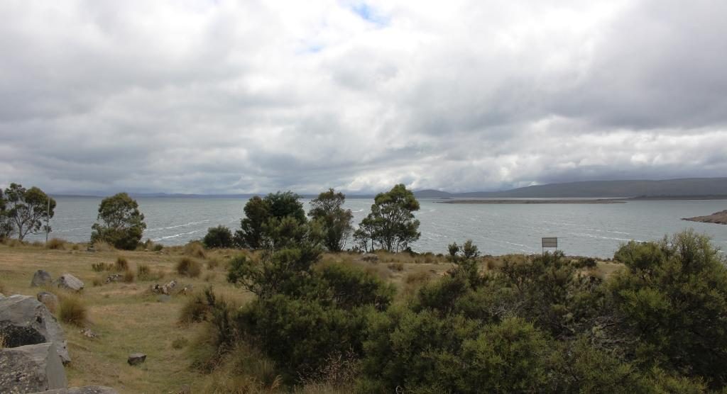
Just before Miena we pulled off the road to look at the Miena Rockfill Dam the construction of which created The Great Lake by backing up the Shannon River and caused two smaller lakes to become one much larger lake. A lookout provides excellent views of the retaining wall and the lake that backs up to the north, way out of sight. On the south side of the lake is Shannon Lagoon. But more of that shortly.
Mienna Rockfil Dam holds back the waters of The Great LakeThe Great Lake viewed from the South
We drove further into this very spread out town and found the Central Highlands Lodge, a sort of guesthouse hotel of the kind that you find in these kinds of places. We were served a good hot meal suitable for the day and, of course, coffee. We then drove on through the town and along the road to the west of the lake that would have taken us to the Bass Highway, but the clouds were below the tops of the distant mountains and showers of rain were moving over the surrounding planes and across the lake. Frankly, it was quite uninviting, so we turned around and headed back into town.
Central Highlands Lodge provided a lunch suitable for a cold dayPart of the town of Miena
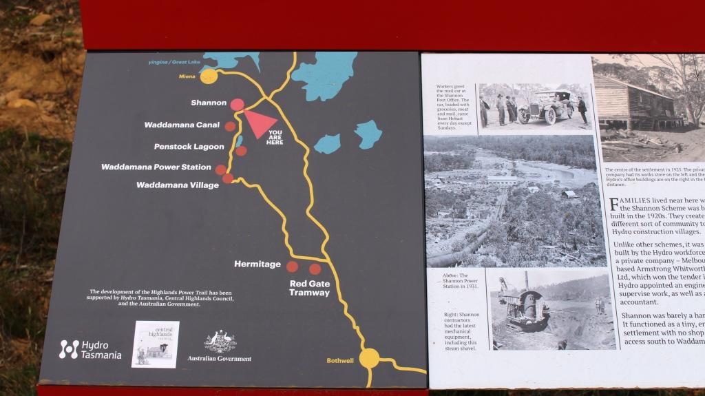
When I was learning about Mount Bischoff tin and Mount Lyell copper at school I was also learning about the Tasmanian hydro electric generation industry and particularly Tarraleah and Waddamana. I remembered Tarraleah because we had spent a night there 45 years ago and it had snowed. We had driven through this town two days before and noted its steeply sloping water pipes feeding the generators. But where was Waddamana? That question was answered on the drive earlier in the day when we had seen a sign pointing to Waddamana and the historic hydro electric trail. The turn was about 15 km back towards Bothwell.
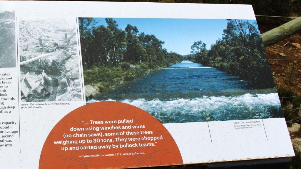
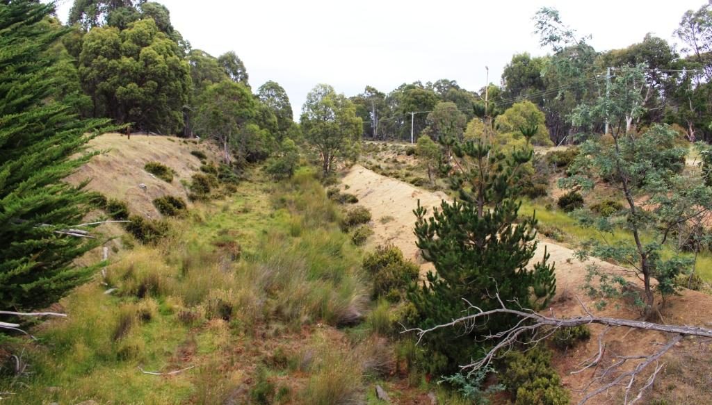
The Historic Hydra Trail had information signs at regular intervals describing the projectThe water supply channel as pictured on the information sign
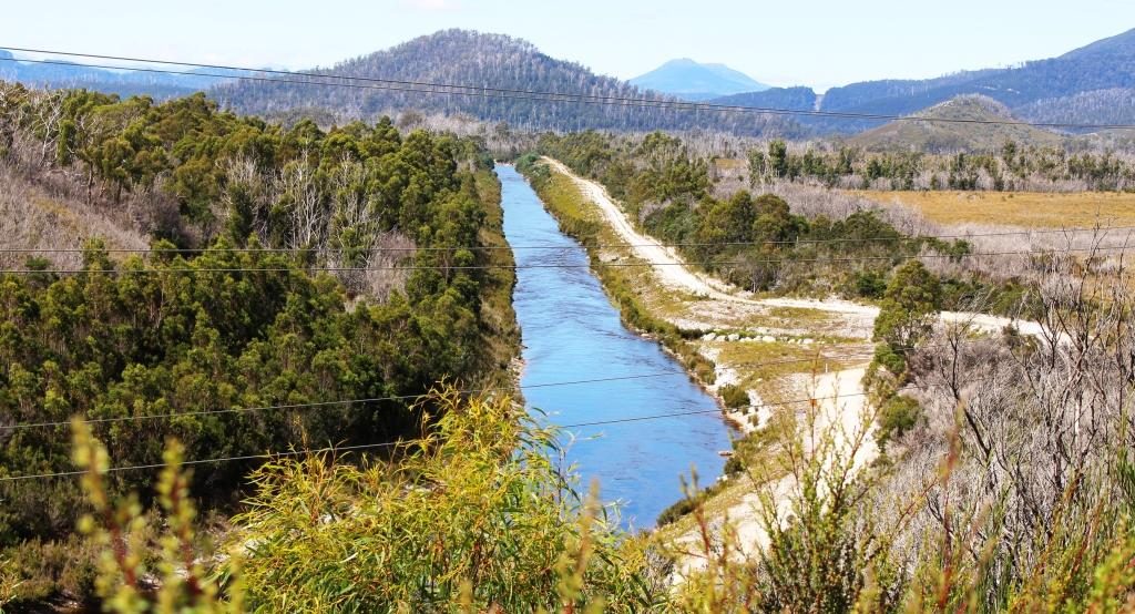
Water supply channel as it is now
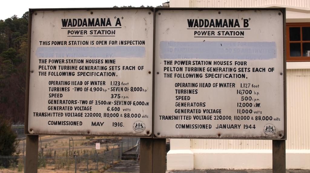
The great lake is the birthplace of serious hydro electricity generation in Australia. It all started in about 1910 when a dam was built at the bottom of The Great Lake which channelled water through pondages and canals to the top of a steep slope and shot it down the slope to Waddamana A power station. The scheme was commissioned in 1916, held up by bad weather and the start of WWI.
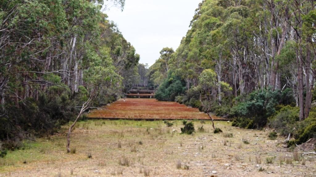
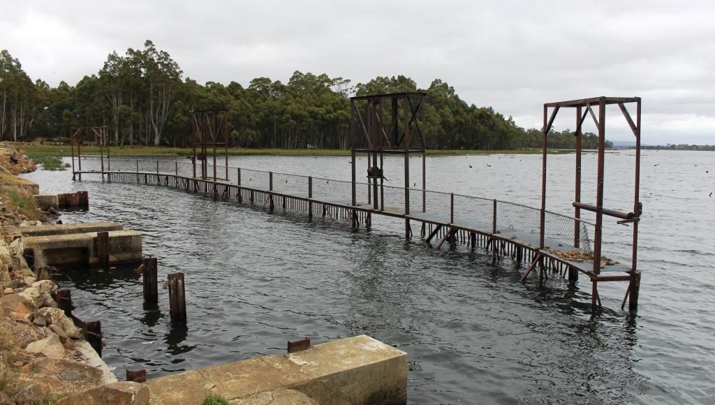
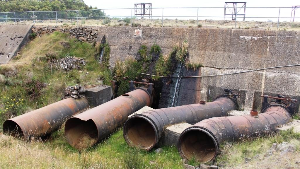
Penstock Lagoon was the final holding basin before the water was released into the channel and pipes that fed the turbinesOld water supply pipes protruding from the retaining wall at Penstock LagoonThis channel leads to the point where the water enters the large pipes for the final plunge to the turbines
Shannon Lagoon was a balancing pondage which fed water into a manmade channel that carried water to Penstock Lagoon. From this temporary storage water was released into another man made channel and then down the precipitous mountain side to Waddamana A. There was a construction town named Shannon but it ceased to exist many years ago.
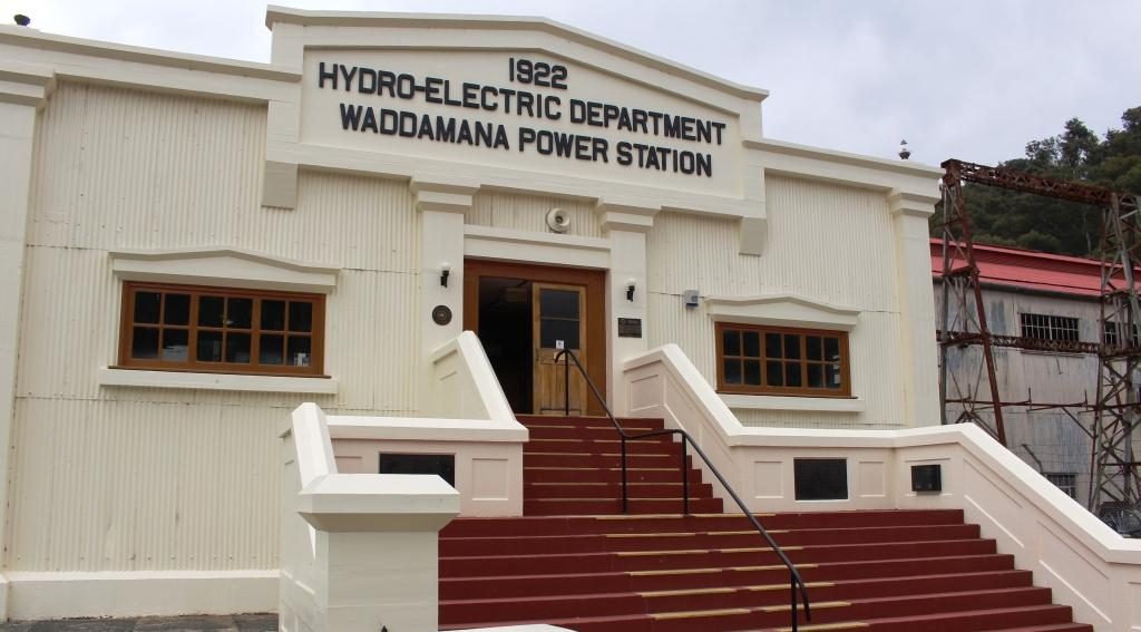
Entrance to Waddamana power stationInformation boards for stations A and B at Waddamana
Waddamana B was commissioned
1946 so was slowed, in its turn, by WWII. This expansion of generation capacity
greatly increased the output of Waddamana and helped to set the paten for
future power generation.
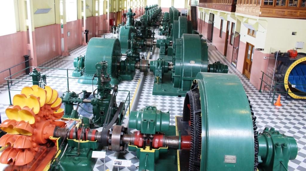
Turbines in Station A. The water was used several times as it flowed through the line of turbines. This photo shows a turbine with its protective cover removed.
Waddamana A is now a museum
with most of its turbines still in place with some cut away to show what really
makes the system work. I was able to walk through among the equipment and
gained a good understanding of it. Most of the pipes that fed water to the
turbines are still in place although truncated and often incomplete.
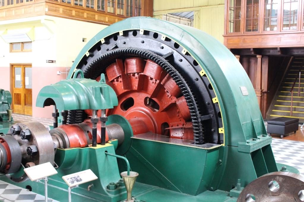
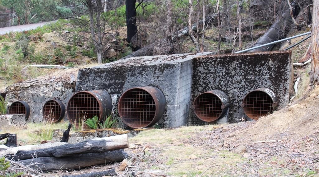
A partly stripped view of the electricity generatorTruncated pipes at the bottom of the hill behind the power stations.
There was a small town at
Waddamana back then which is still there but not used for power station workers
any more. Some of the houses appeared to be occupied. On a hill above the town
and power station a new and substantial wind farm has been built. The wind
vanes were still against the afternoon sky but we heard on the news a few days
later that is had been officially commissioned and was in production.
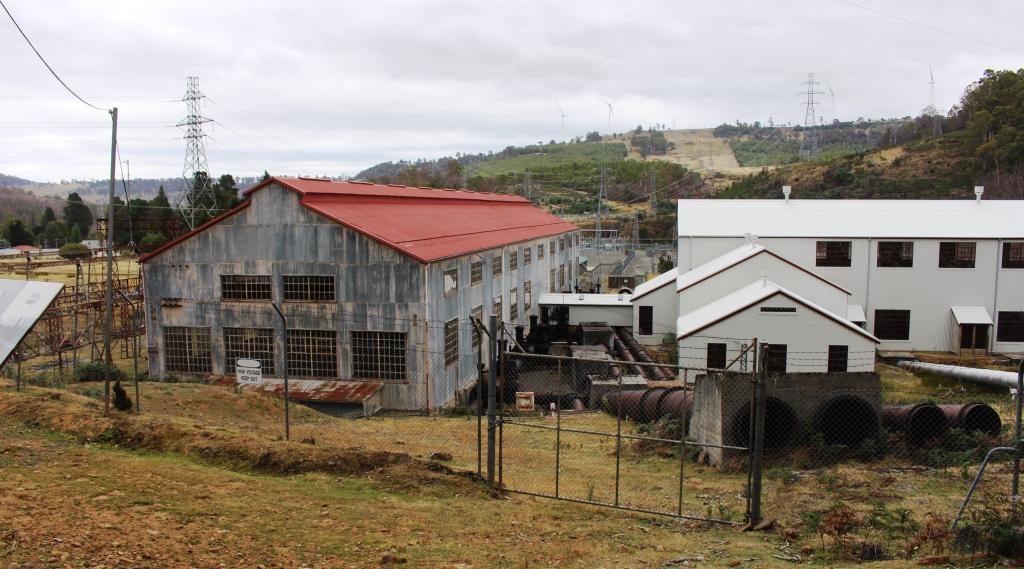
Waddamana A on the left and B on the right,.
We made our way home on an alternative road that was sealed so long ago that it was like driving on gravel but it was in surprisingly good condition. It brought us back to the Lyell Highway at the town of Ouse which is on the Ouse River, a tributary of the Derwent. The final part of our drive was again through the vinyards, orchards and hop fields of the Derwent Valley.