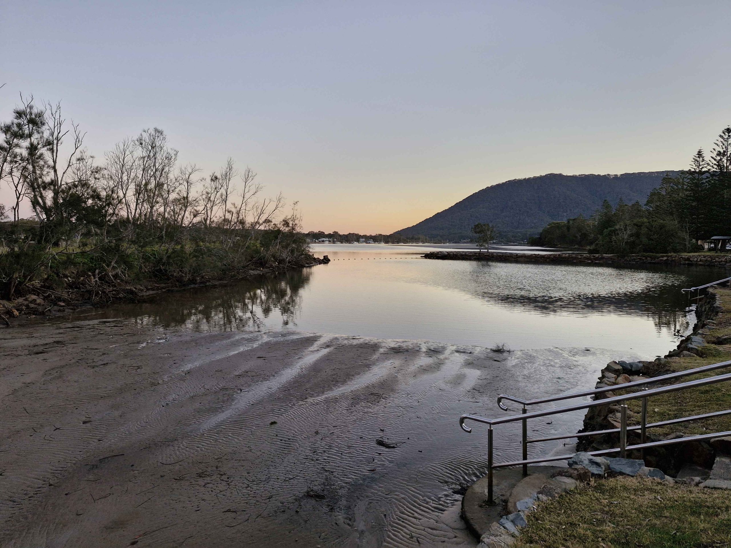
We are both parents, and grand parents, and will never see 70 again and recently cellebrated our 50th wedding anniversary.
Ruth has retired and Kevin has done so partially but with an arrangement that allows extensive periods of travel in out Coromal Magnum off road pop top caravan towed by a 2001 3 litre turbo diesel Holden Jackaroo.
We love the outback with its rugged scenary and wide open spaces but are a bit constrained by the need for regular internet to meet work committments. But we love the coastal areas as well.
The purpose of this blog site is to keep interested people informed of our travels. We report in as often as we reasonably are able with recent doings.
So stand by. The next trip is never too far off.
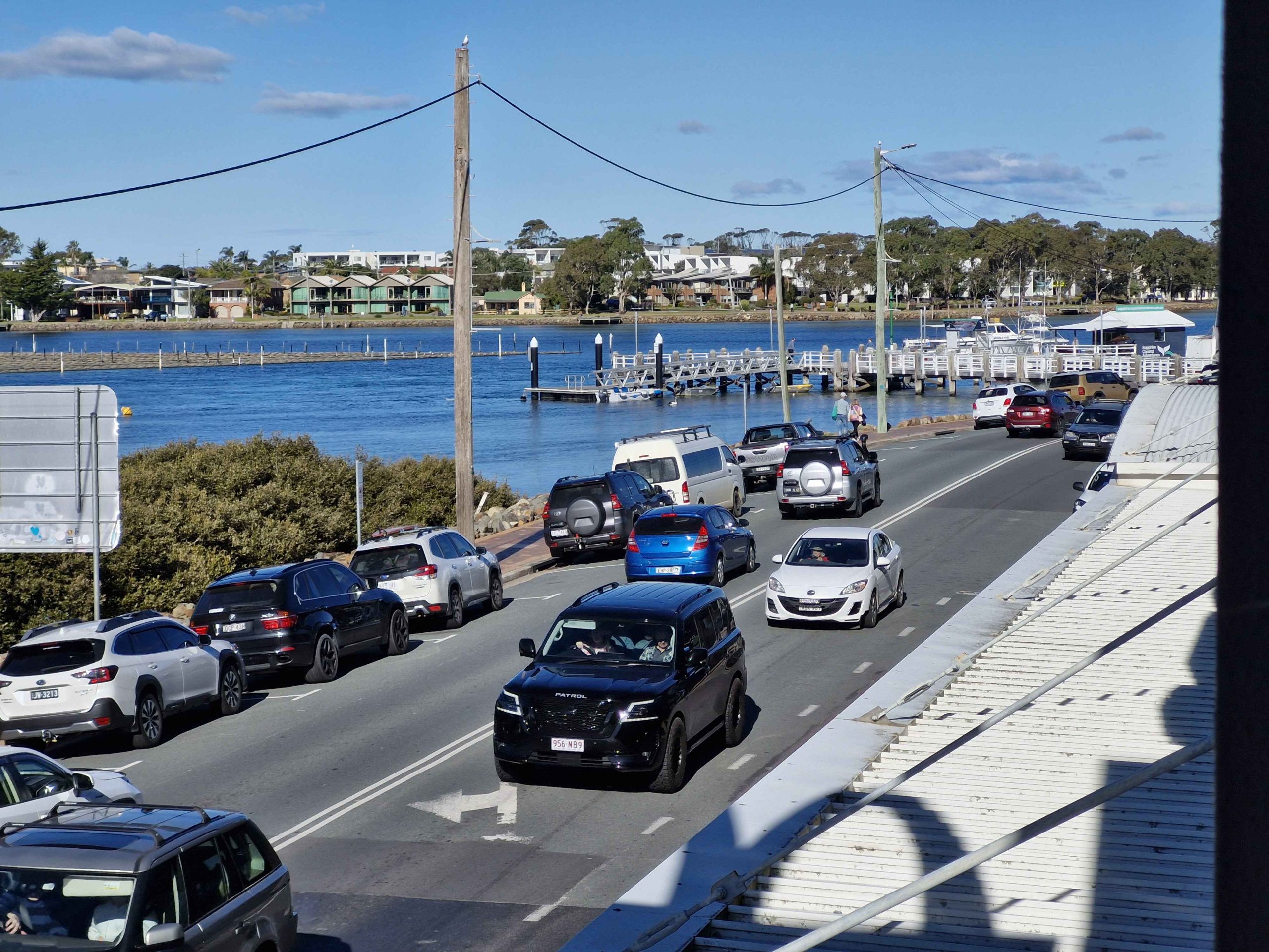
The touring segment of this trip ended at Echuca. From then to the end we were visiting relatives. Plus, the weather turned foul, causing us to choose as much indoor activity at possible. From Echuca we travelled to Warragul in West Gippsland. Then we made our way back to Brisbane via Princes and Pacific Highways. So the rate of photography slowed.
Around Warragul
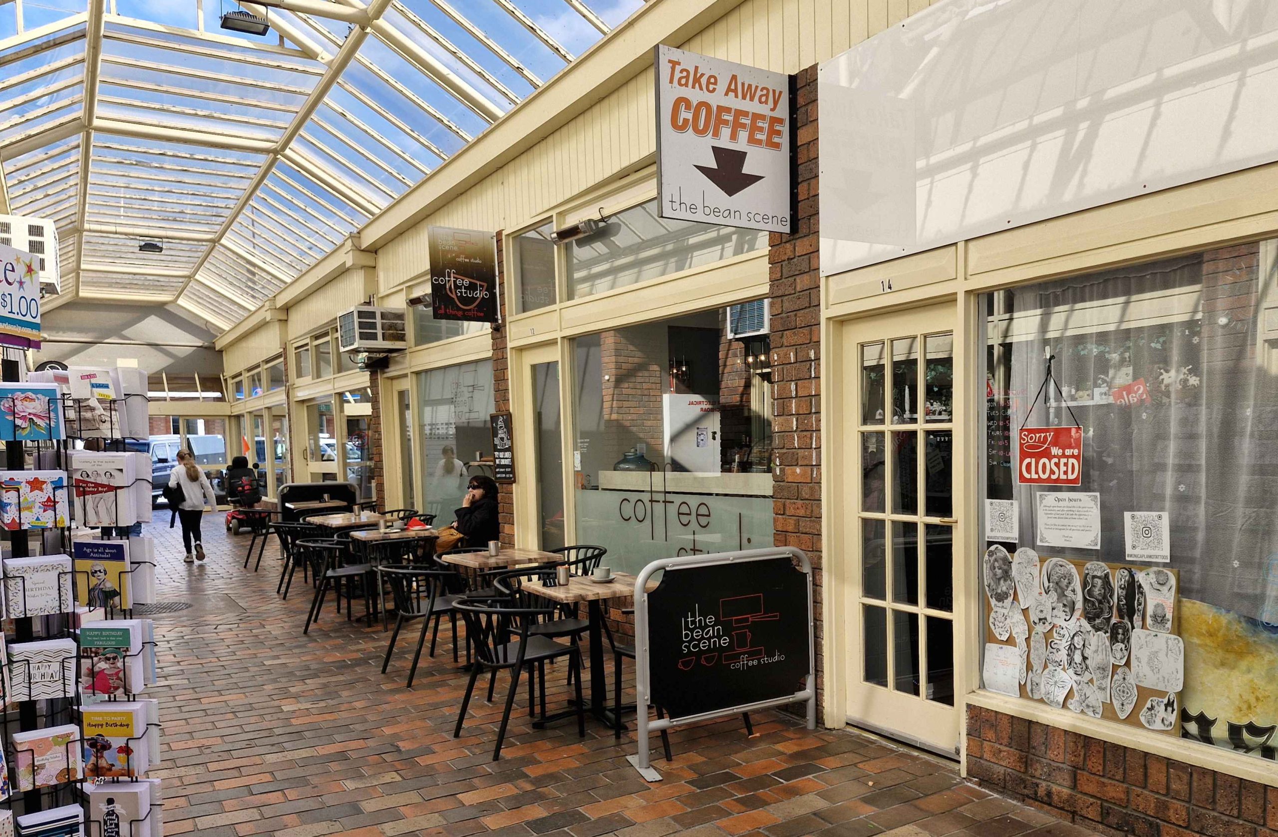
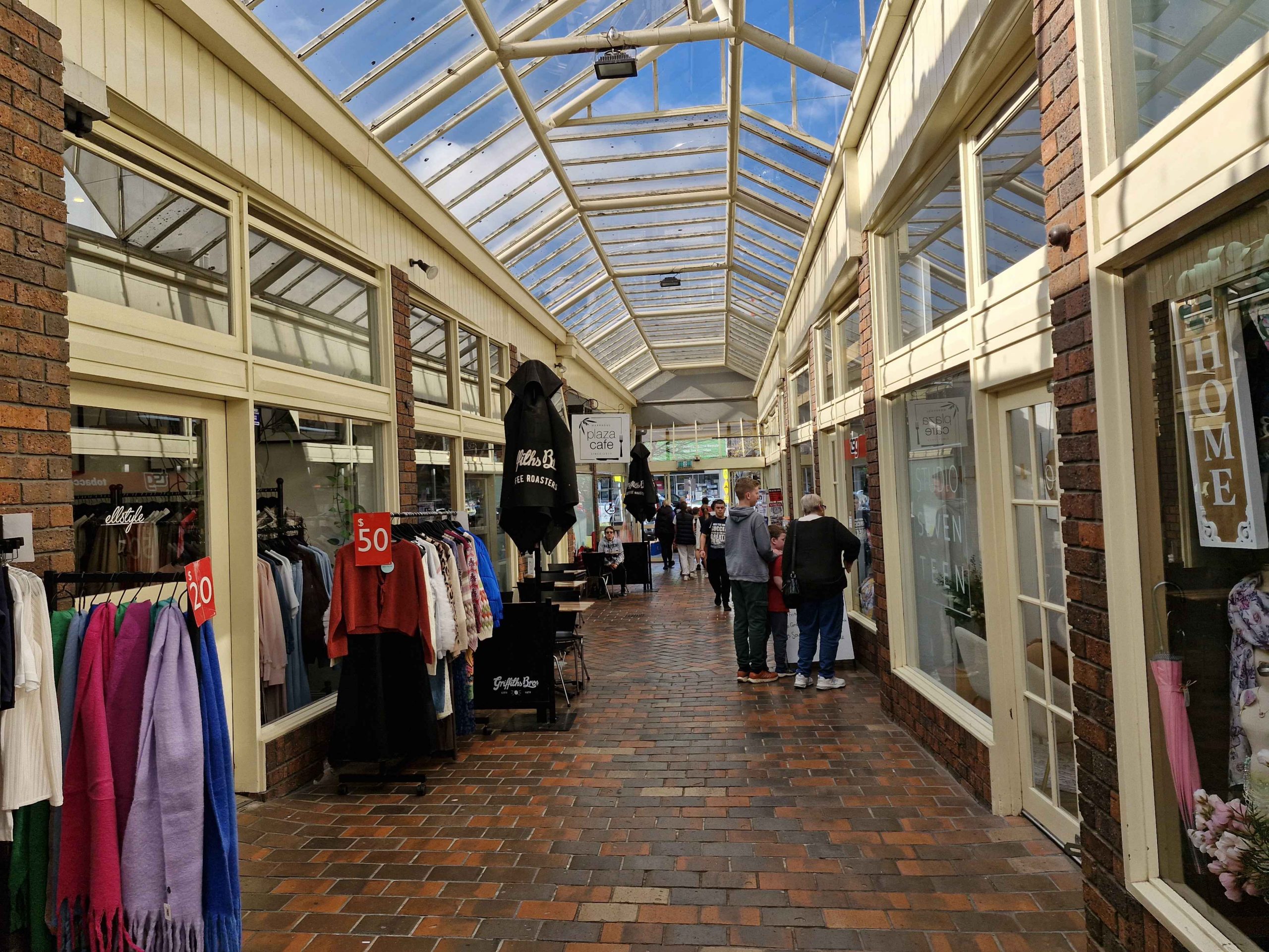
A Shopping Arcade in Warragul.
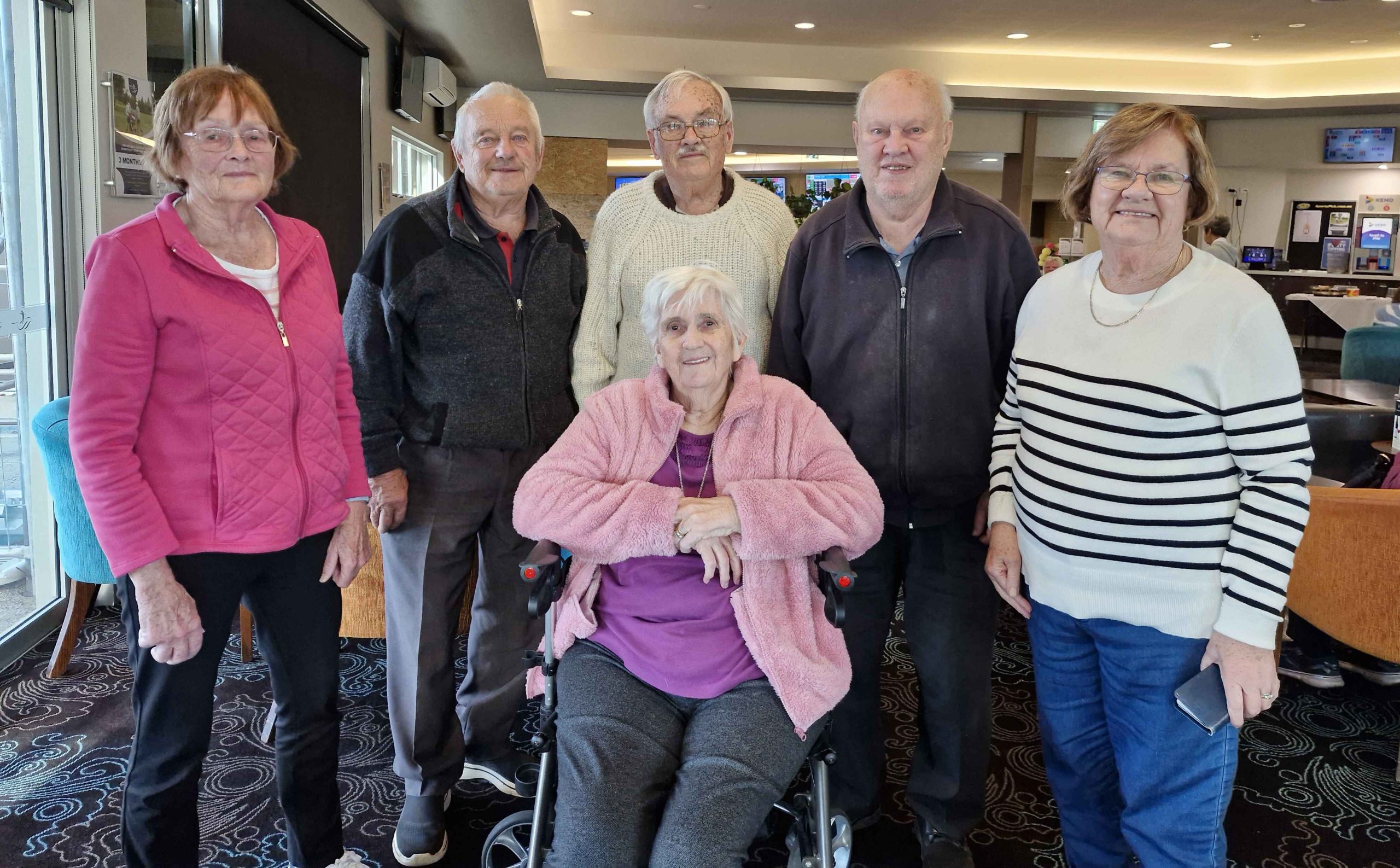
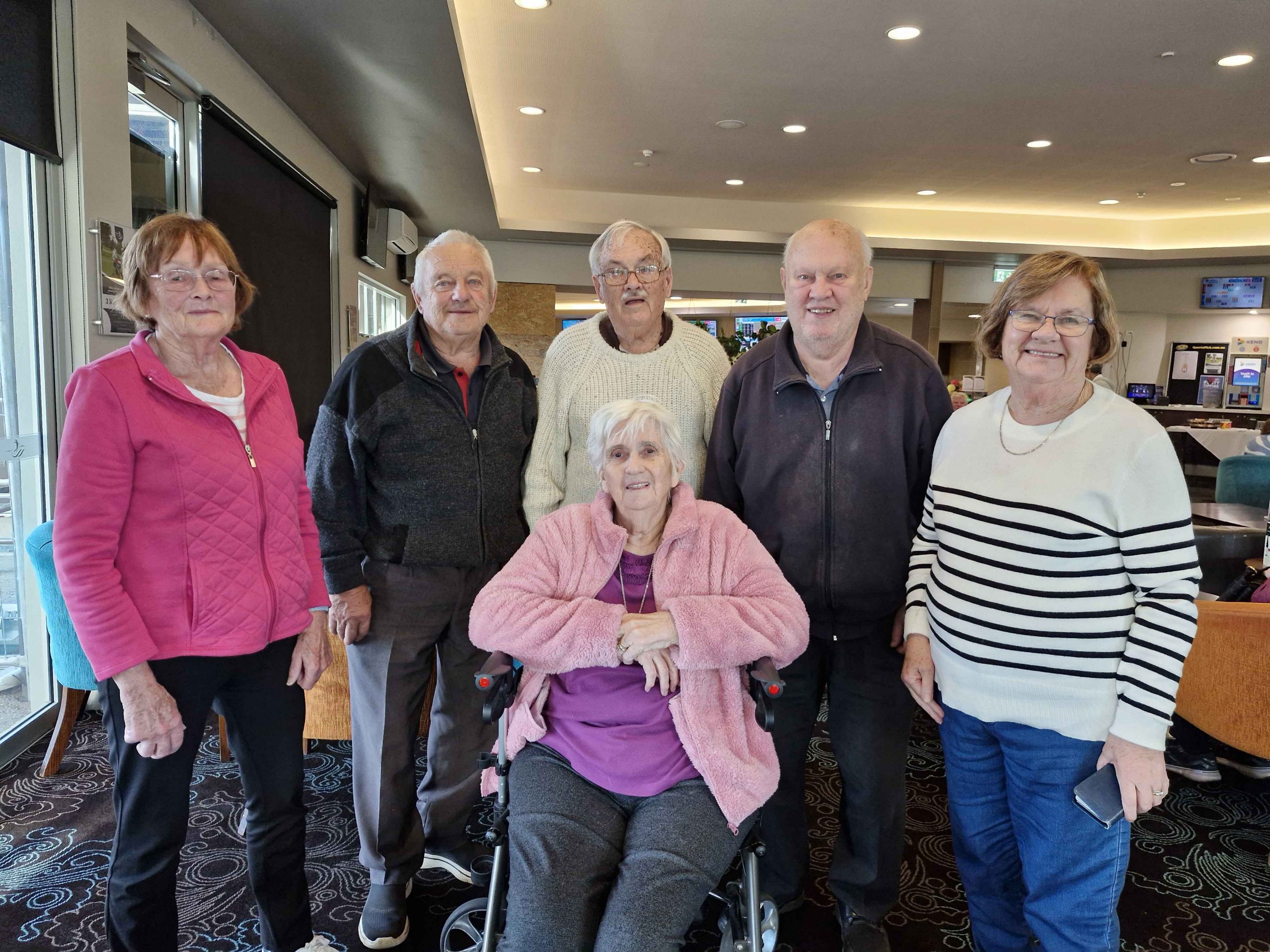
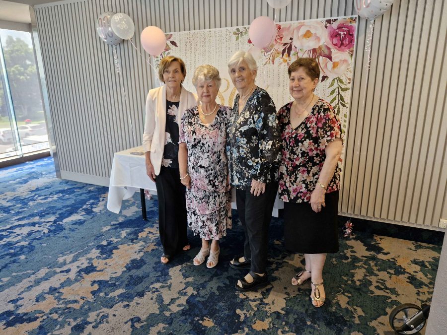
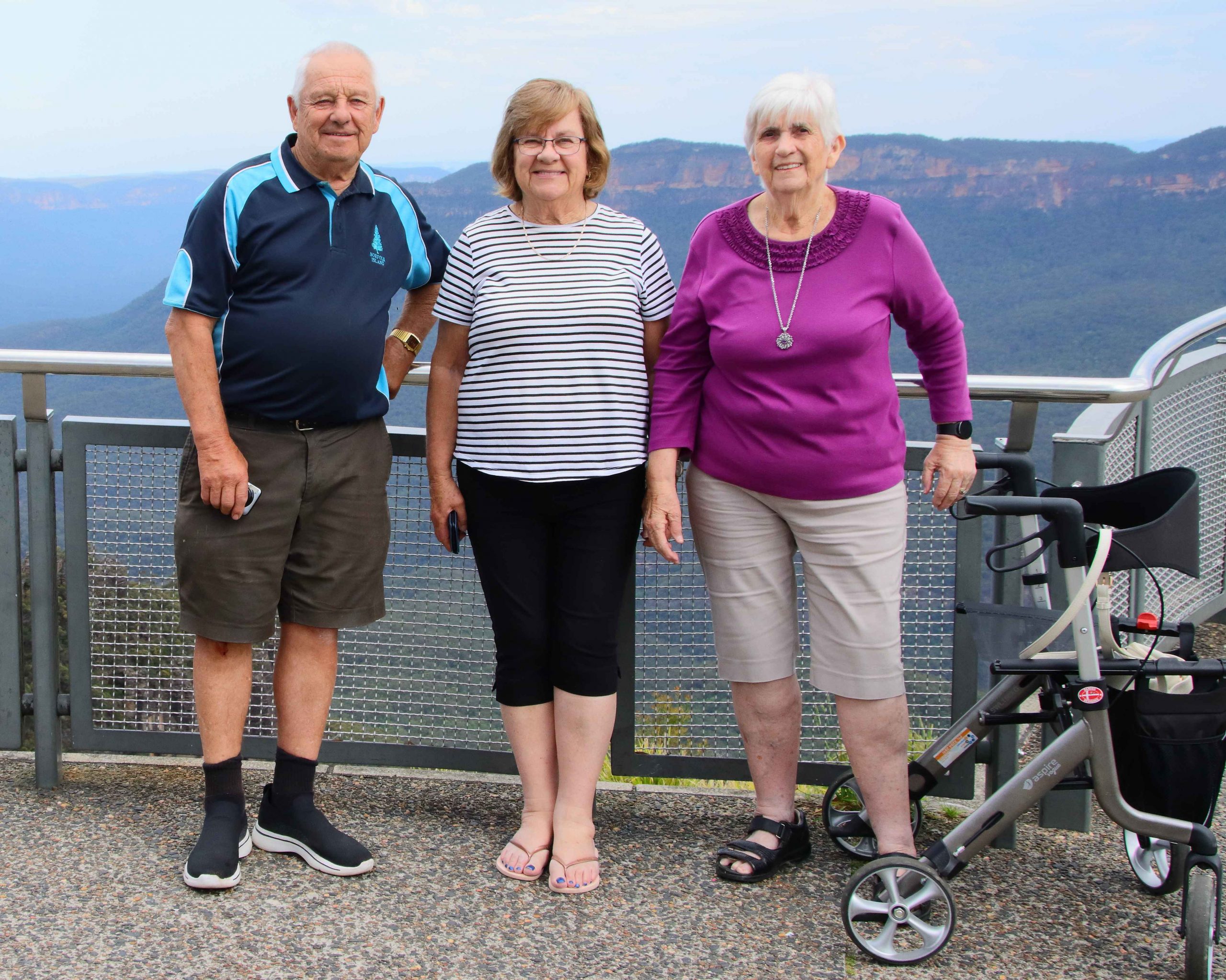
A Family Gallery. Front: Ruth. Rear: Helen Sheather (Sister-in-Law), Bernard Sheather (Brother), Me, Kelvin Sheather (Cousin) Aileen Gardner (My Only Sister).
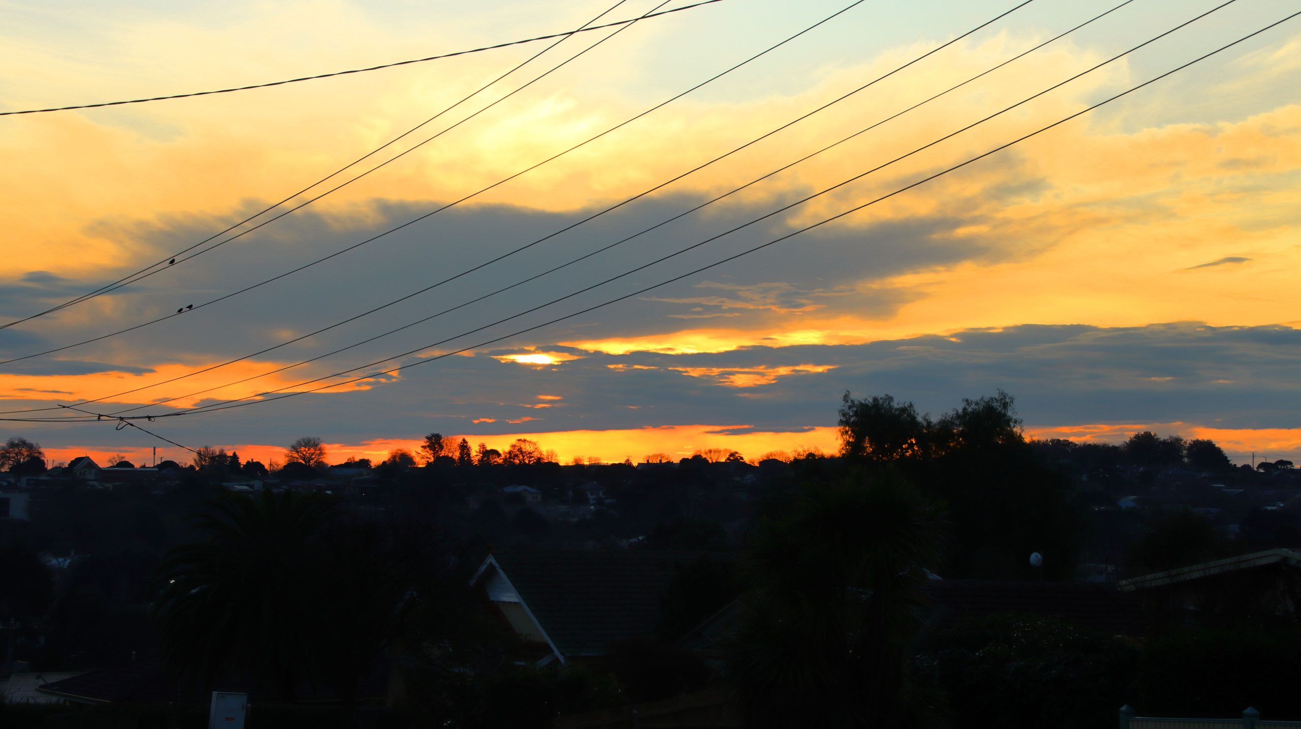
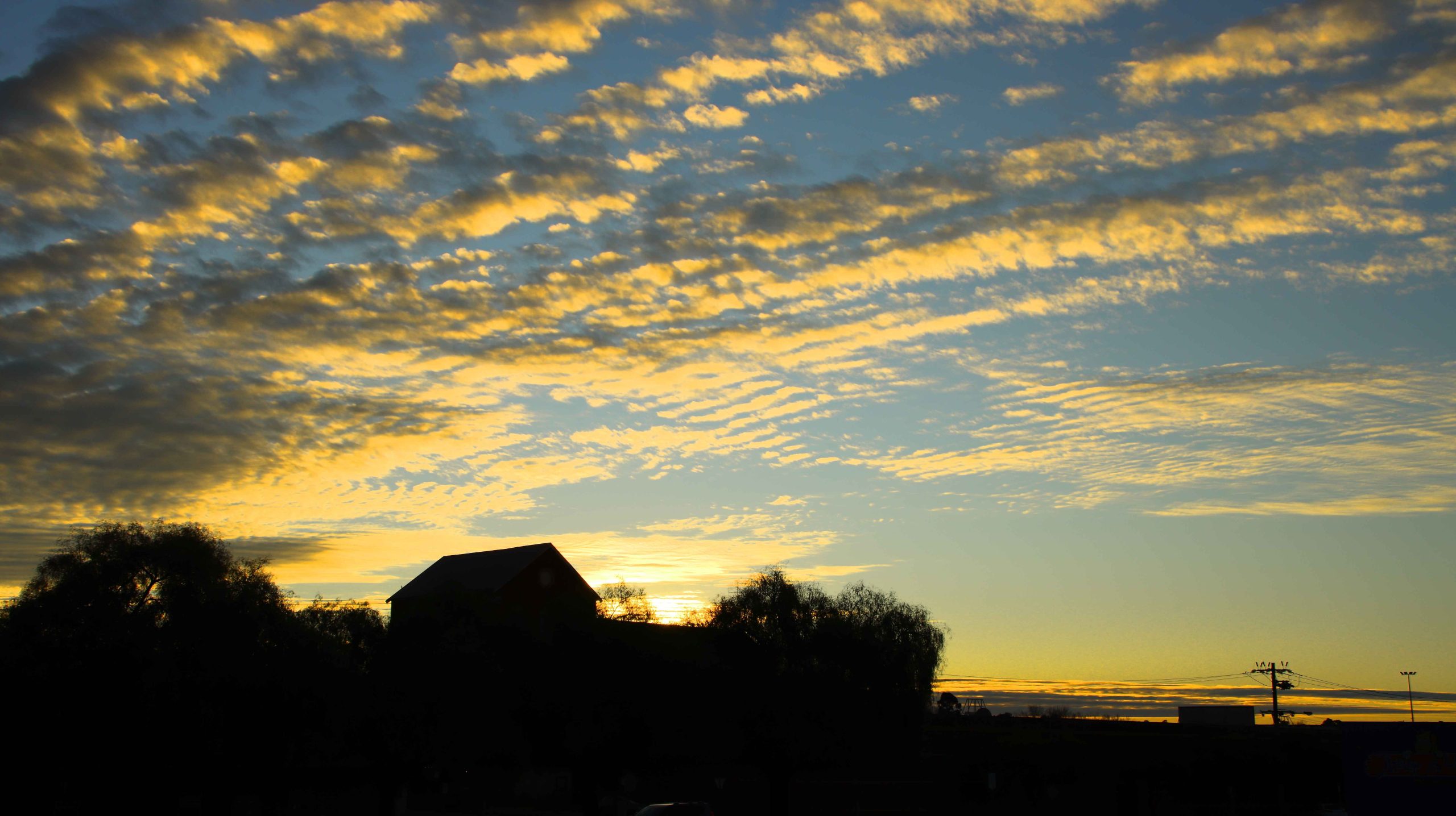
Sunset, Warragul VIC.
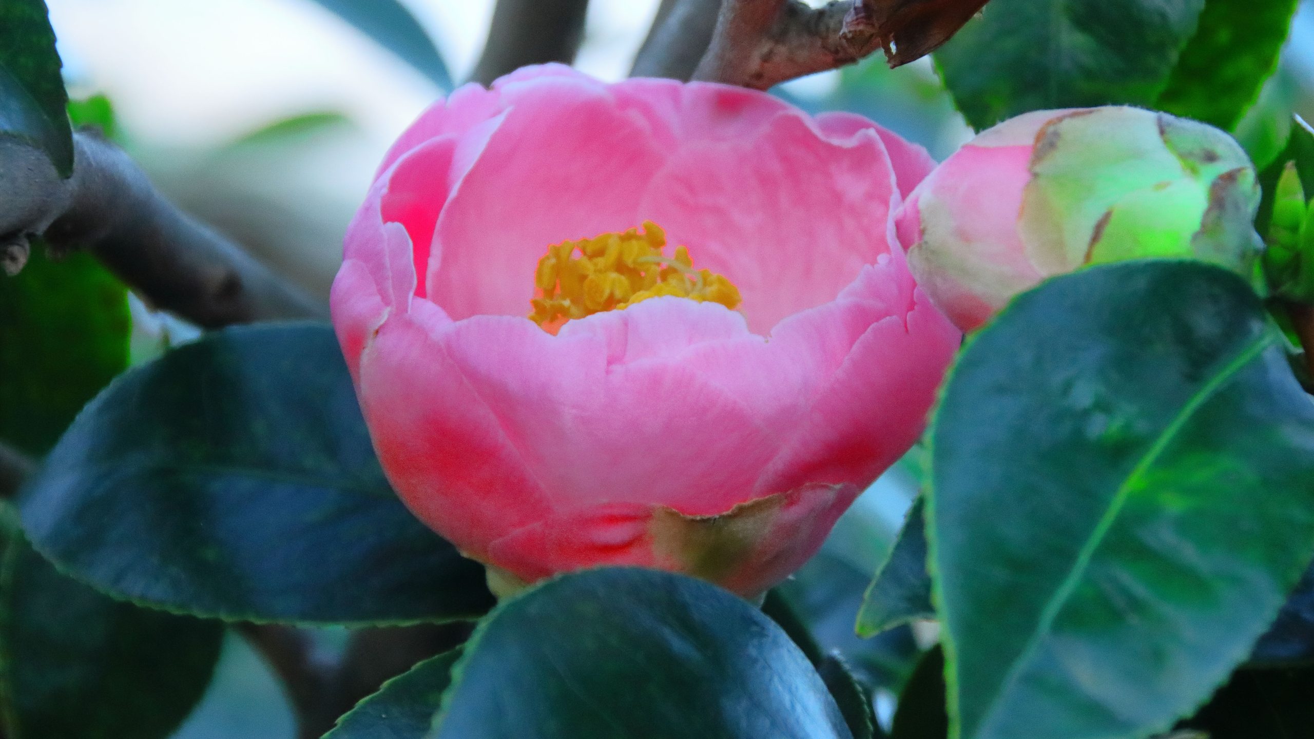
Camelia, Warragul VIC.
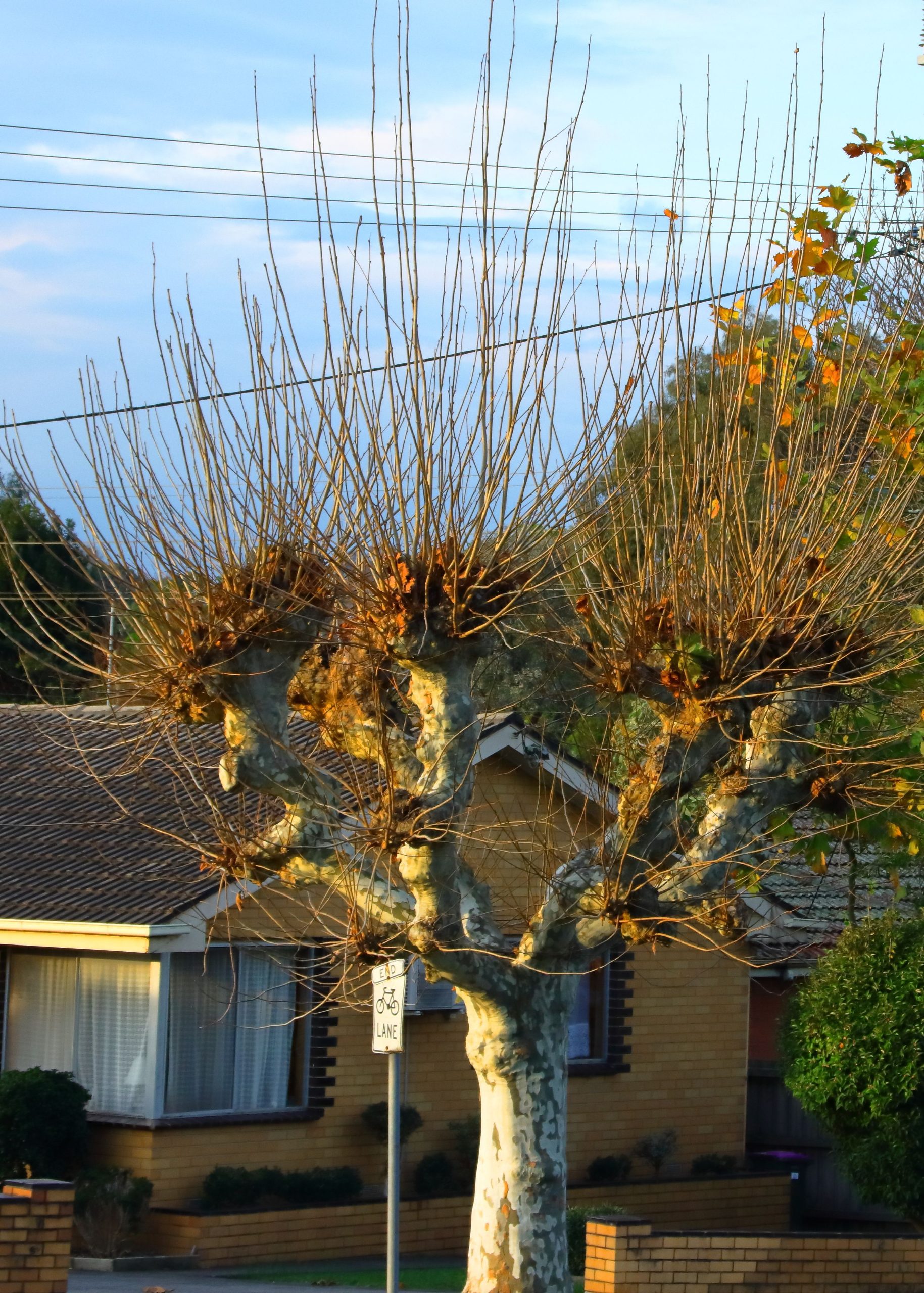
Pollarded London Plane Tree, Warragul VIC.
Phillip Island, Victoria
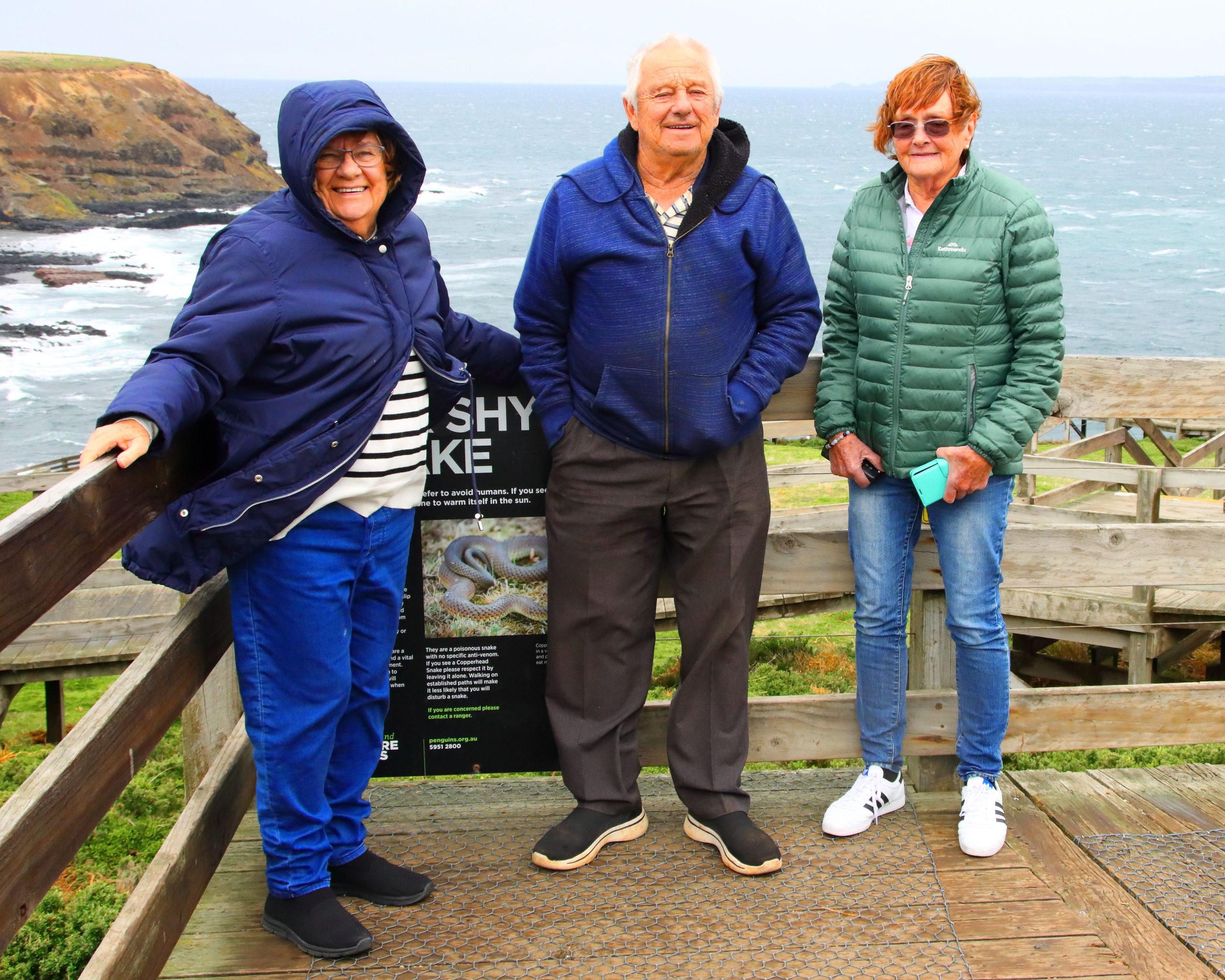
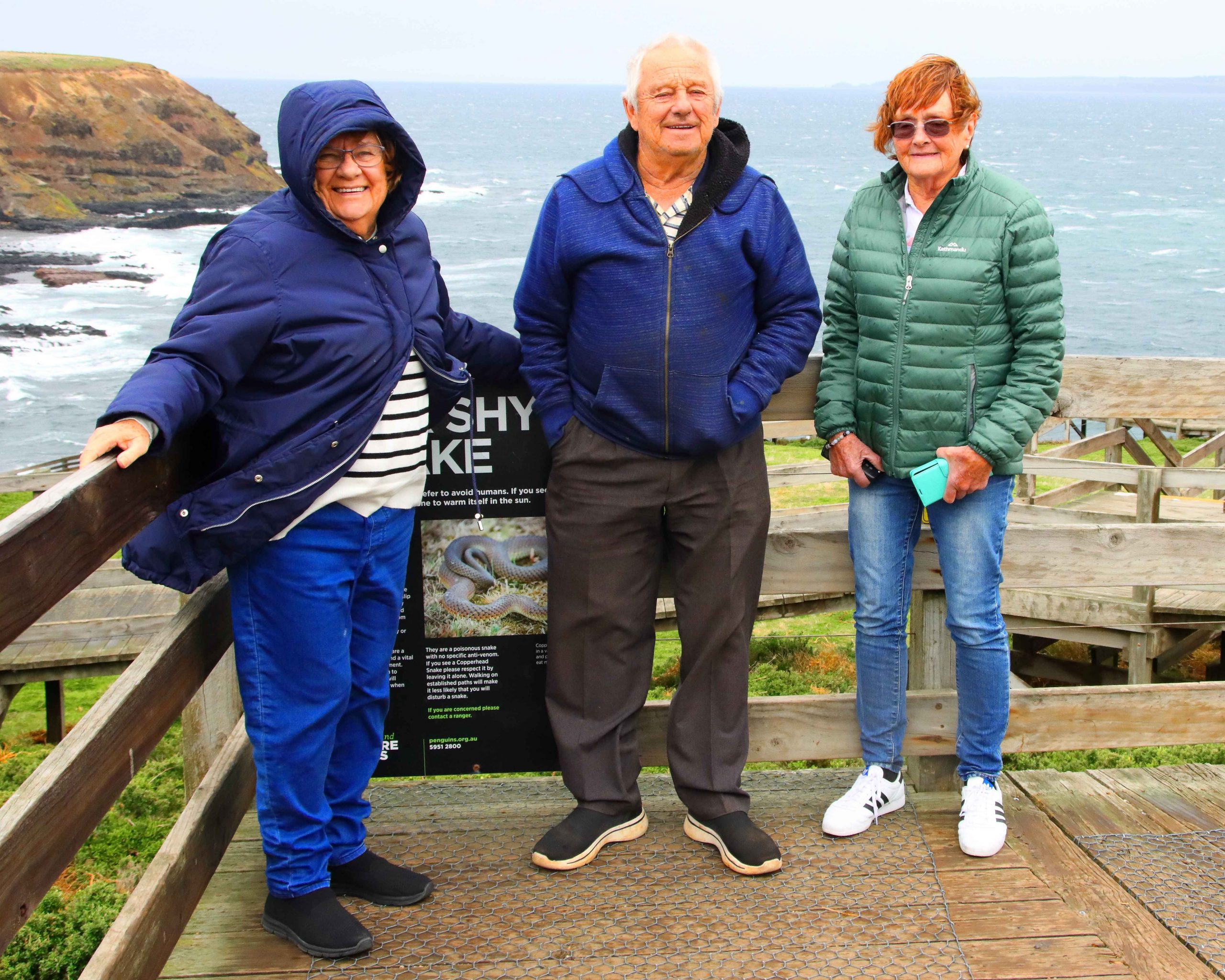
At the Windy End of Phillip Island. L to R. My sister Aileen Gardner, my brother Bernard and my sister-in-law Helen Sheather.
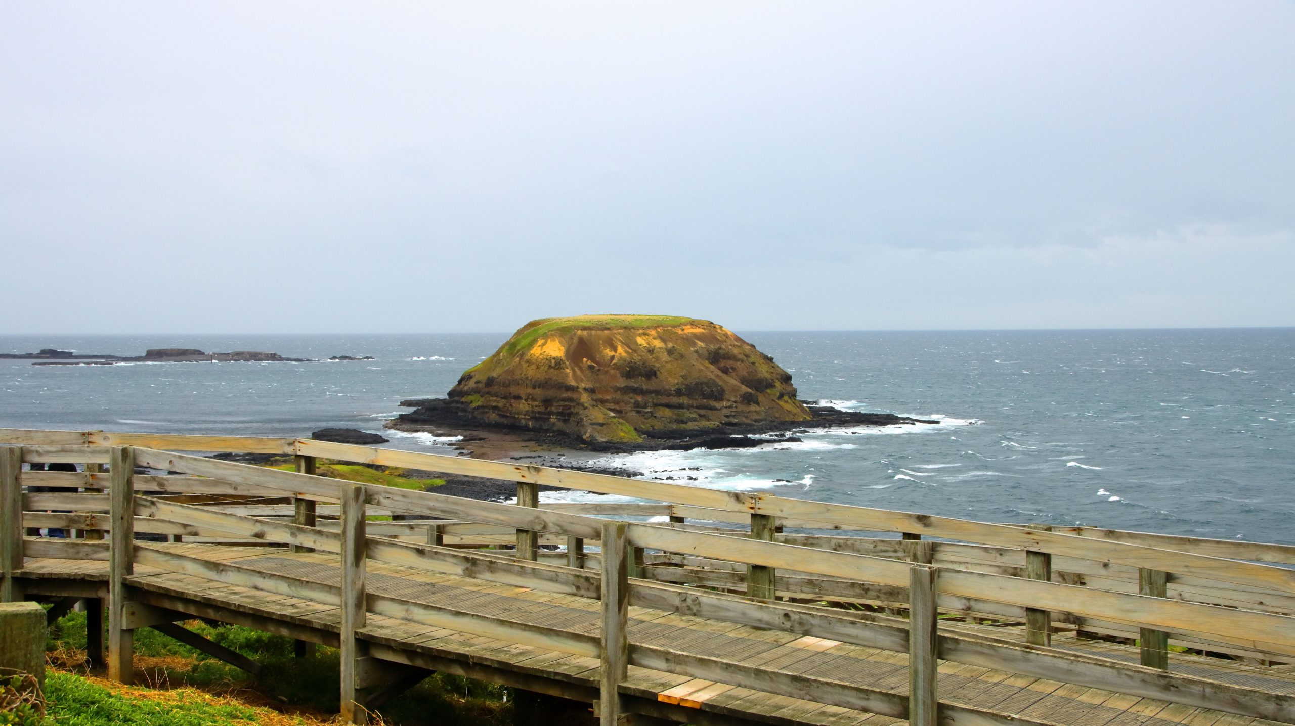
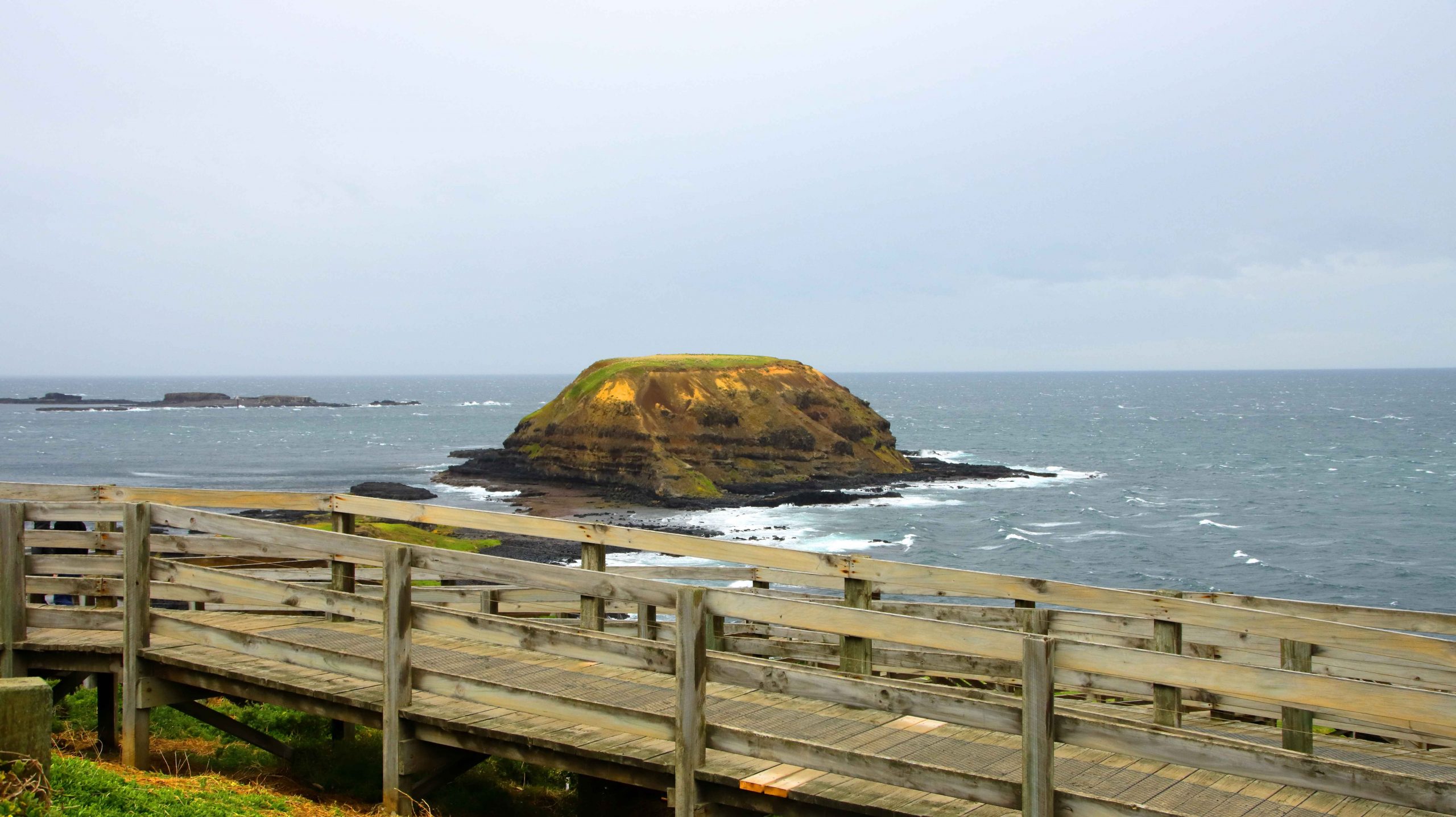
The Nobbies and Walkway, Phillip Island, Victoria.
Merimbula, New South Wales
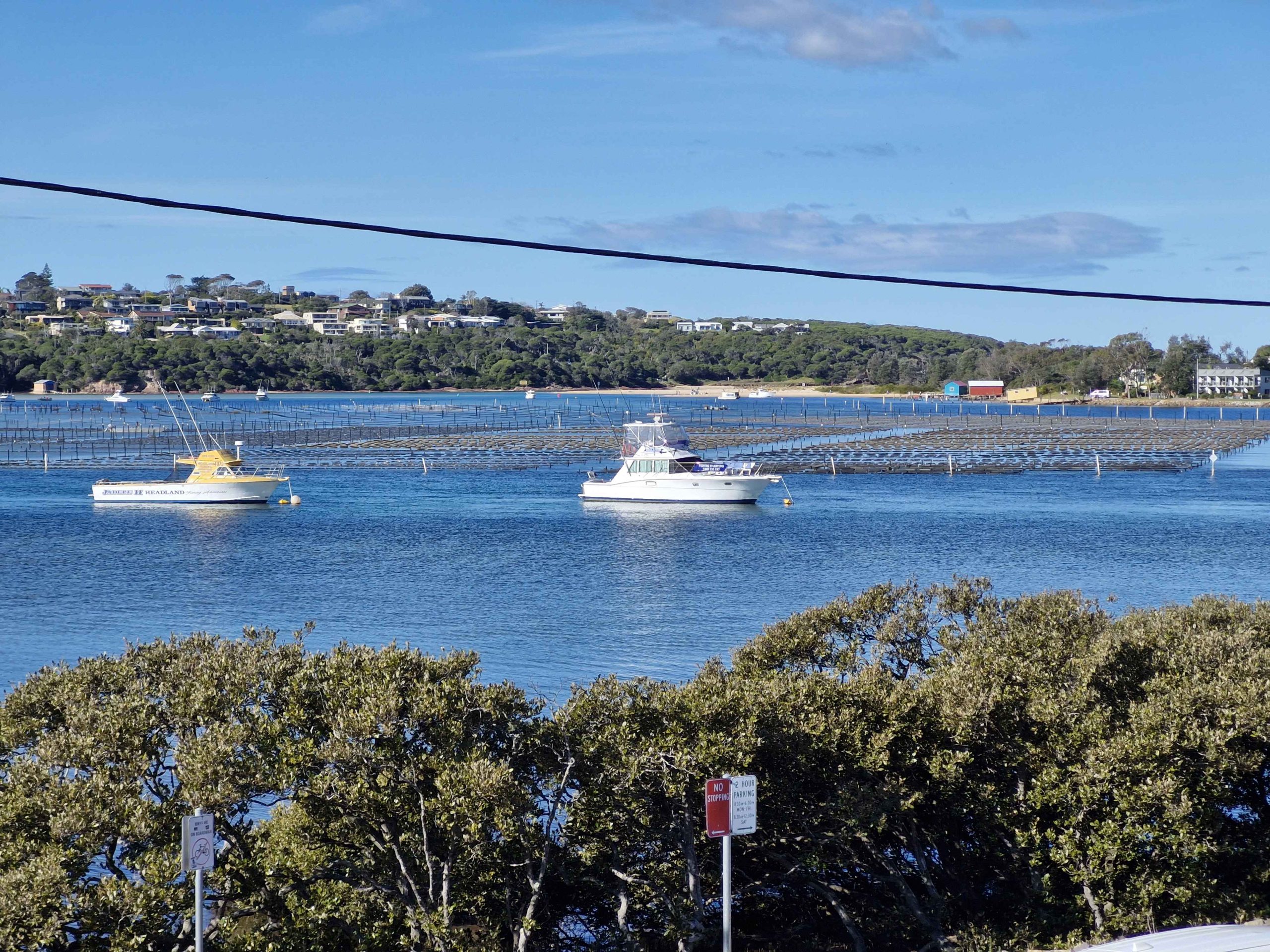
Boats and Oyster Beds at Merimbula.
Merimbula Main Street, Pacific Highway.
Liverpool, New South Wales
Lake More,, Liverpool NSW.Liverpool from Hotel, NSW.
We spent two nights in Echuca and did a ride on a paddle wheel steamer while there. We toured the town and the river front area. So, naturally, I took a few photos.
Echuca Town Area
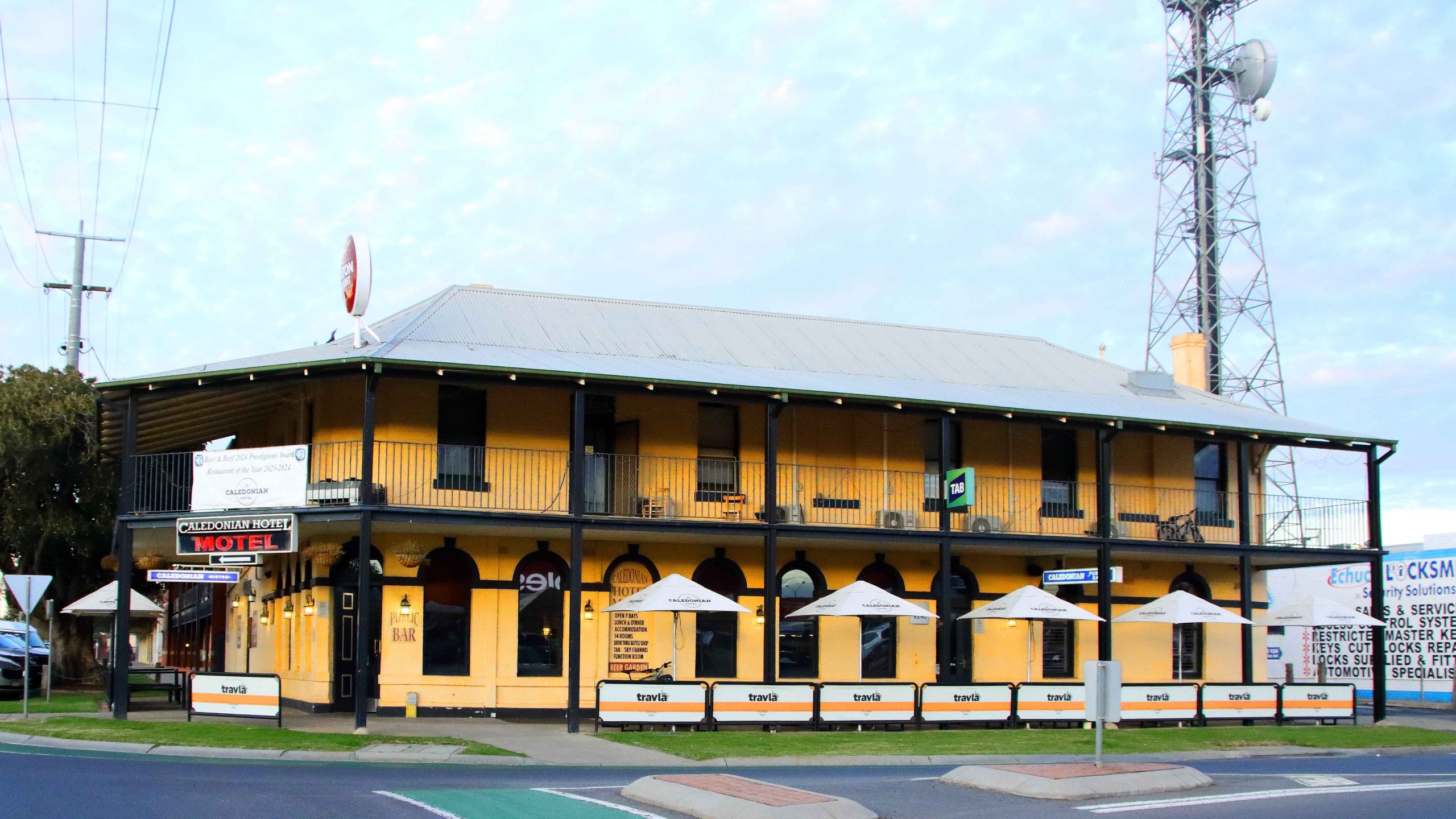
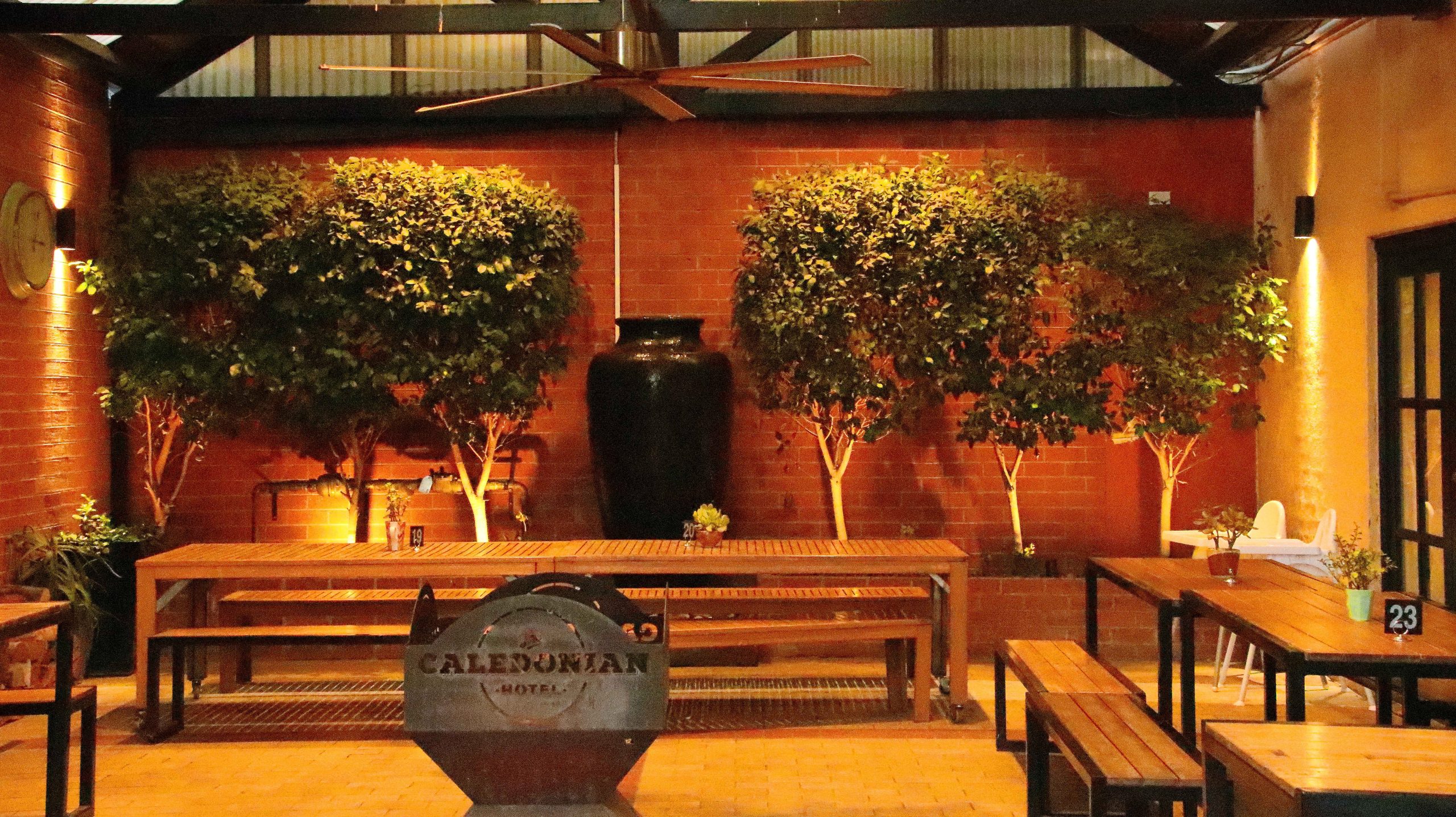
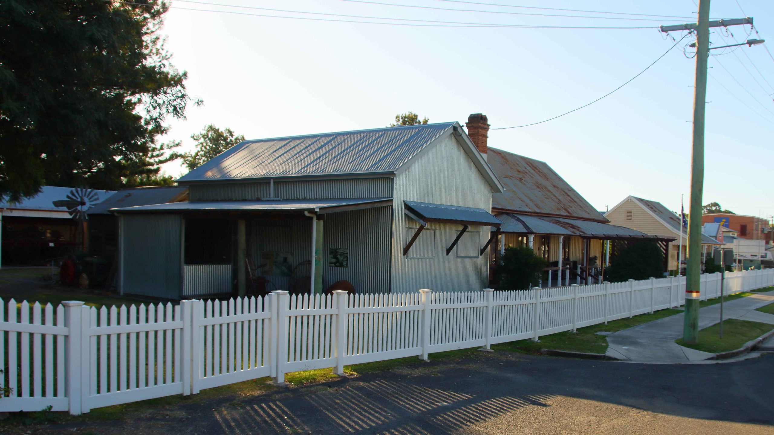
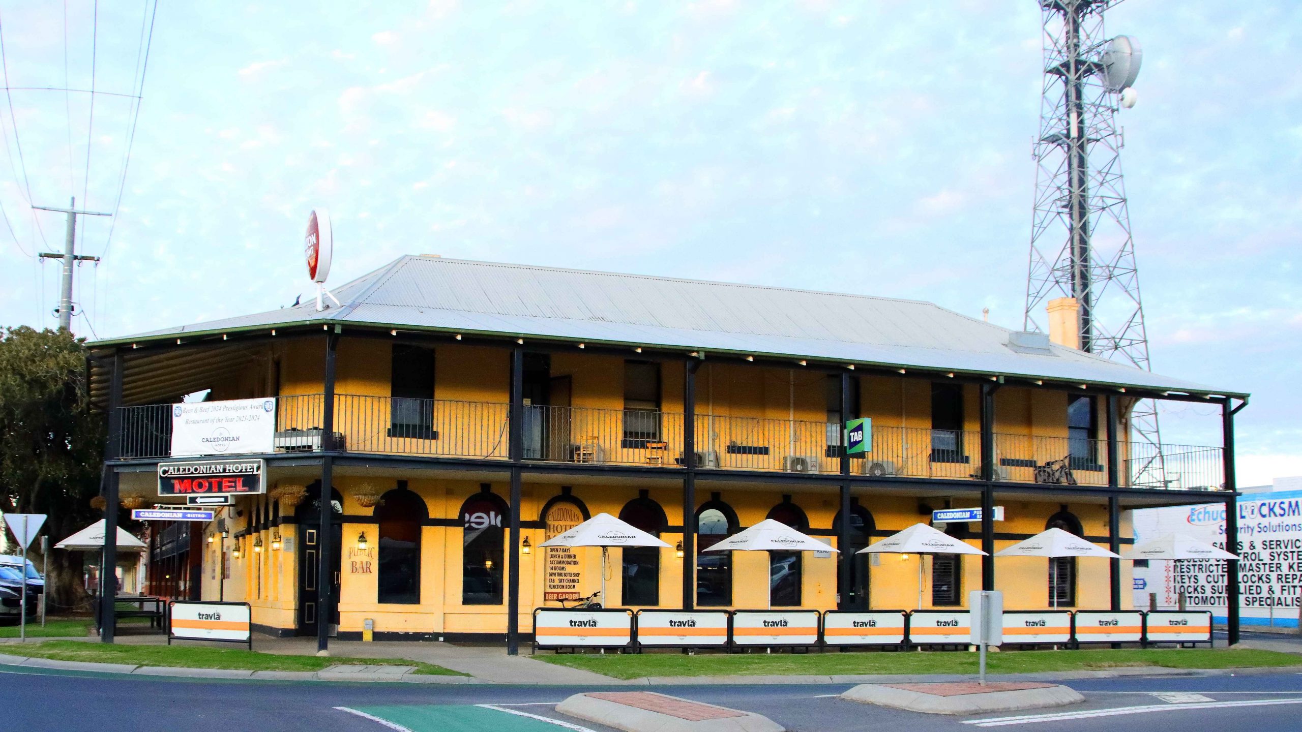
Our accommodation, Caledonian Hotel in Hare Street.
Coffee Shop (Closed) at the Caledonian Hotel, Echuca
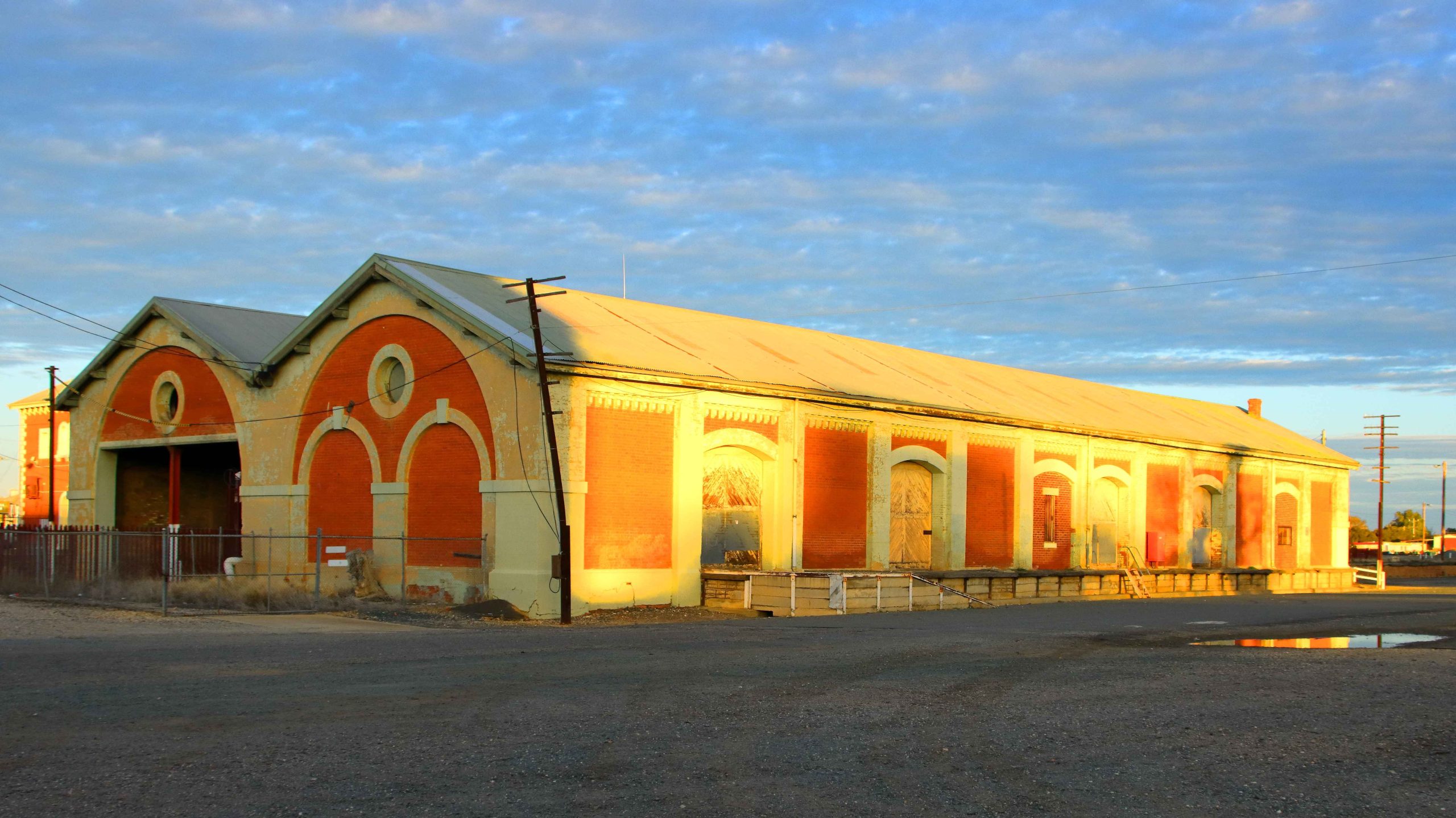
Railway Goods Sheds in the evening light.
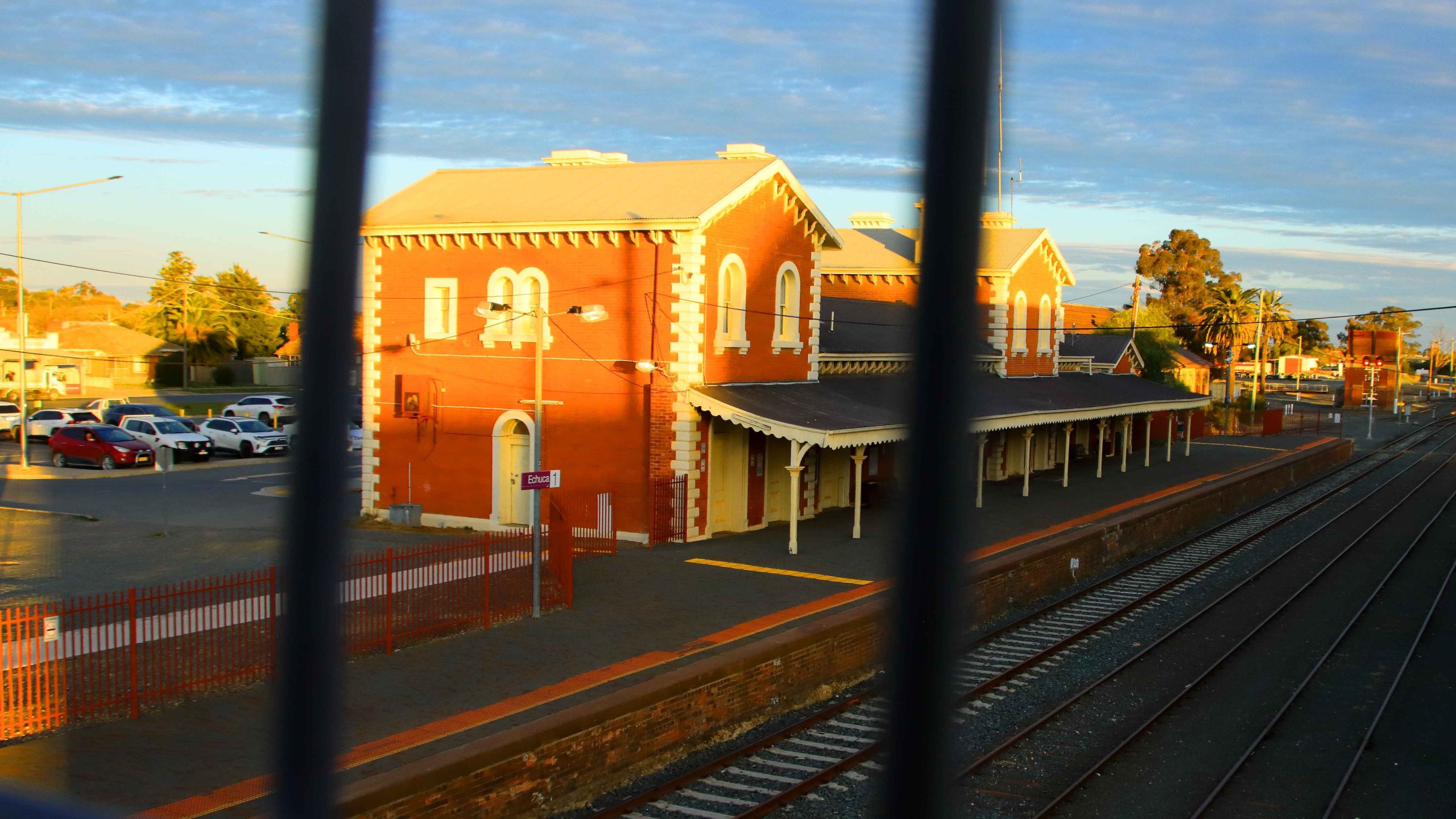
Echuca Railway Station – through the bridge rail.
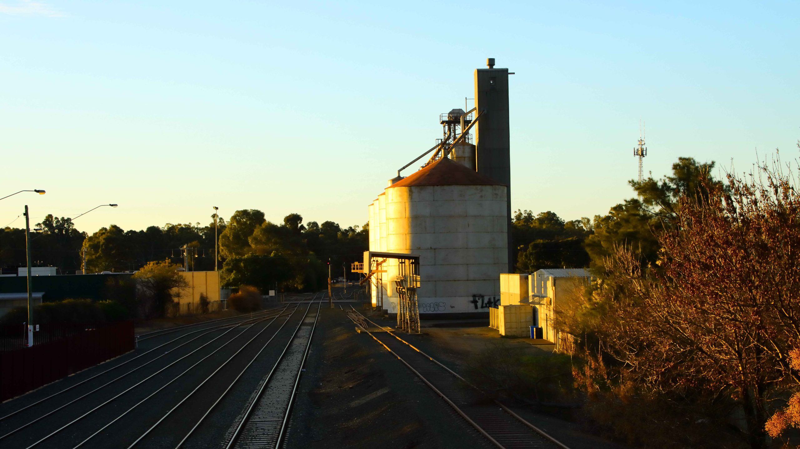
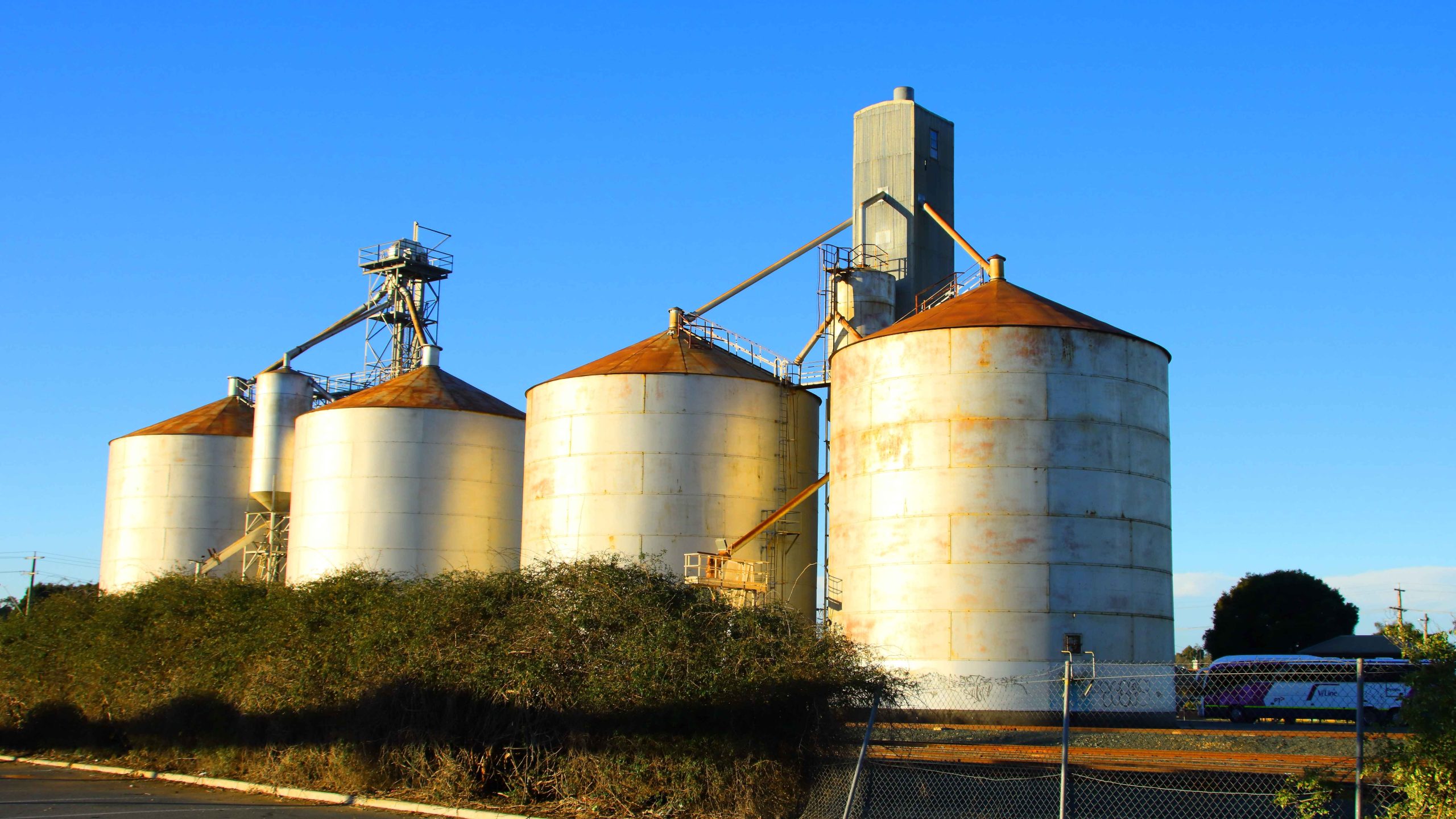
Grain Silos reflect the setting sun.
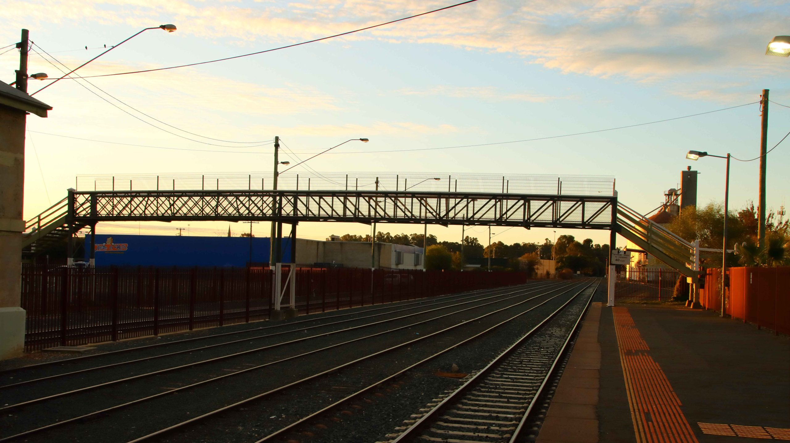
Pedestrian Bridge that links the platfolfms.
Evening Sky Over Railside Buildings.
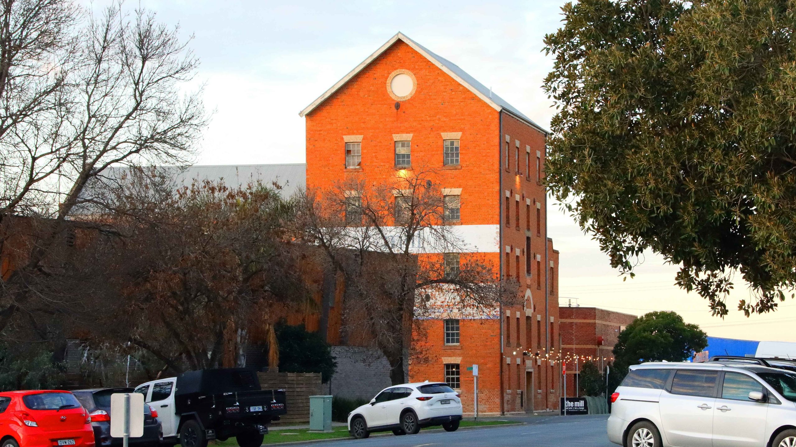
The Old Mill Restaurant.
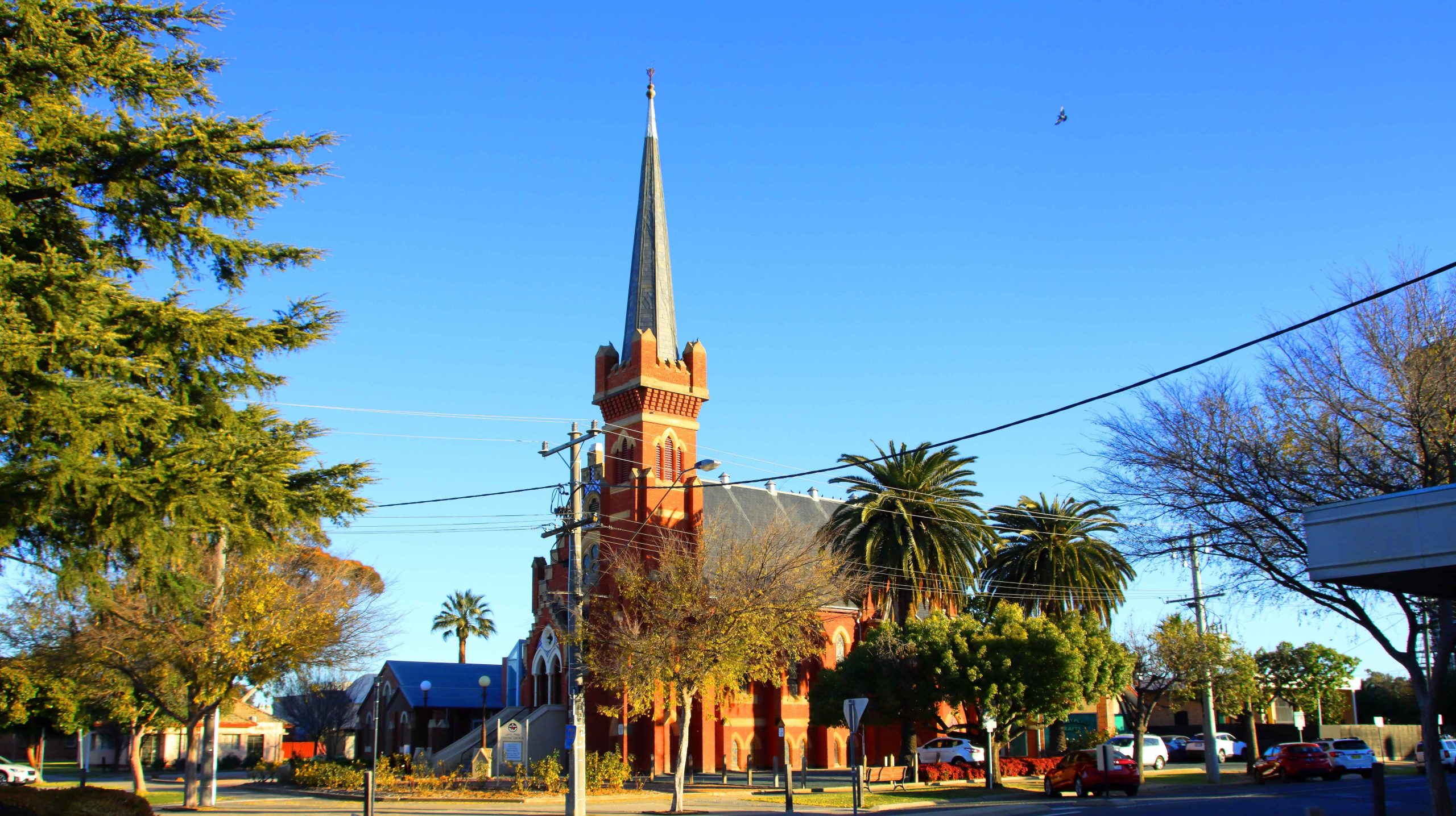
Uniting Church, Echuca.
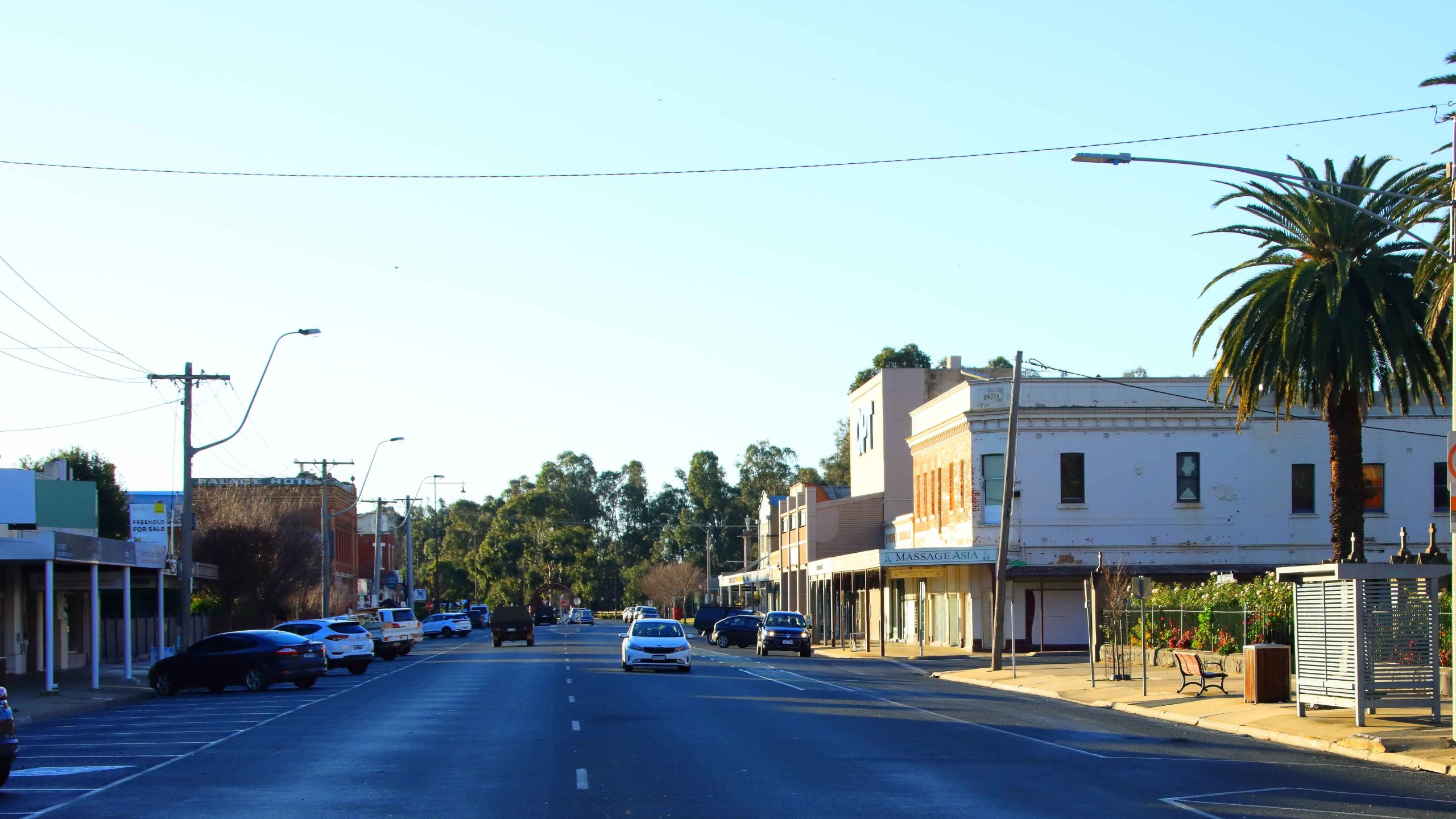
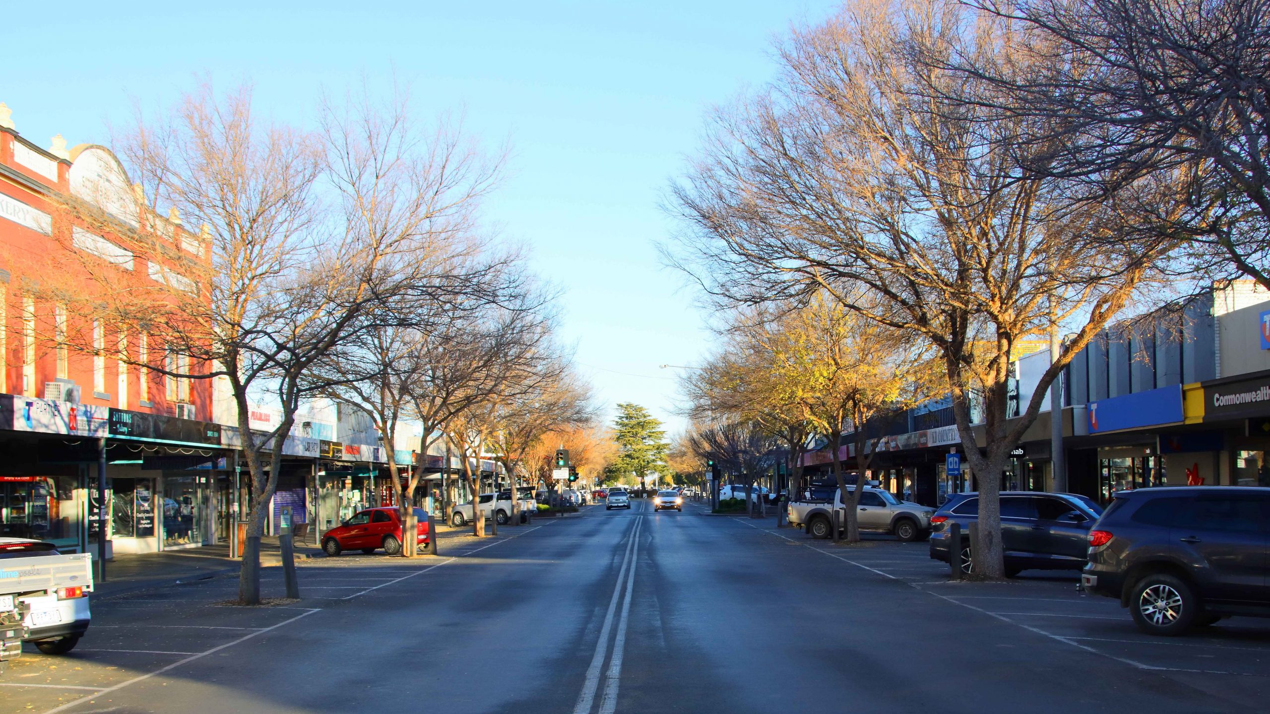
Facing North in High Street, Echuca.
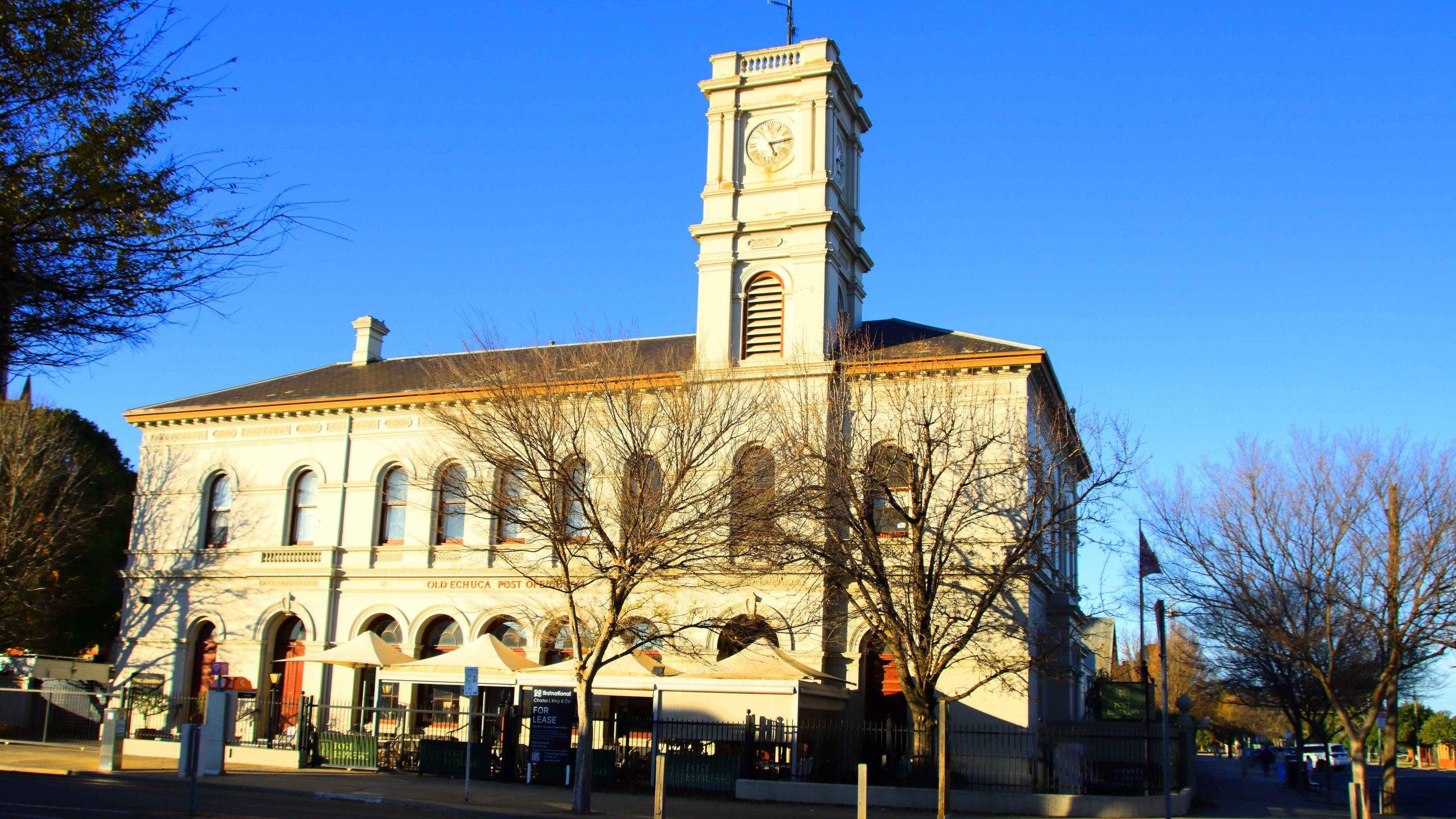
Old Town Hall, Echuca.
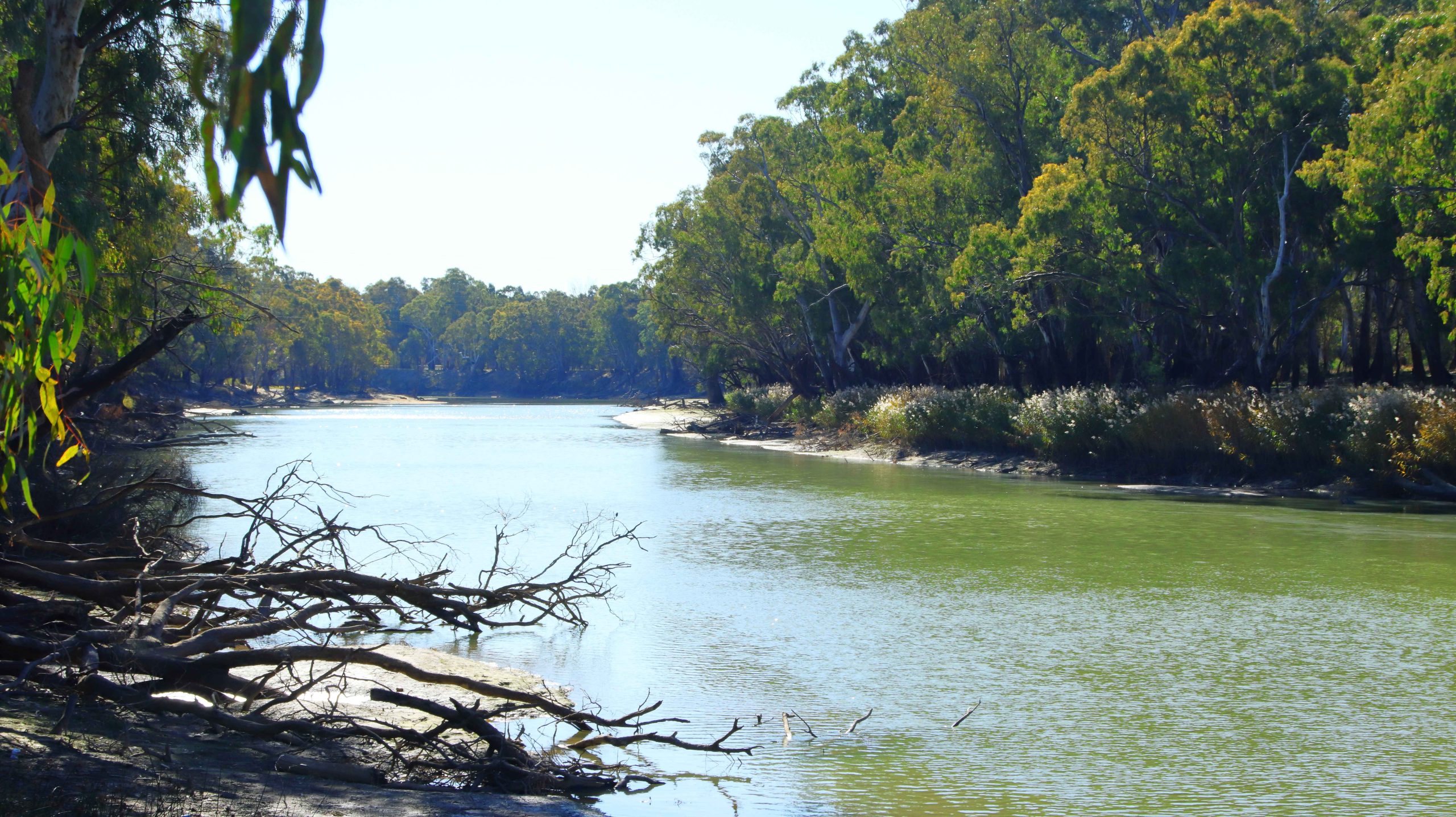
Facing North in Hare Street , Echuca. Trees at The End of the Street Line the Murray River.
Grain Silos at the Railway Station, Echuca.
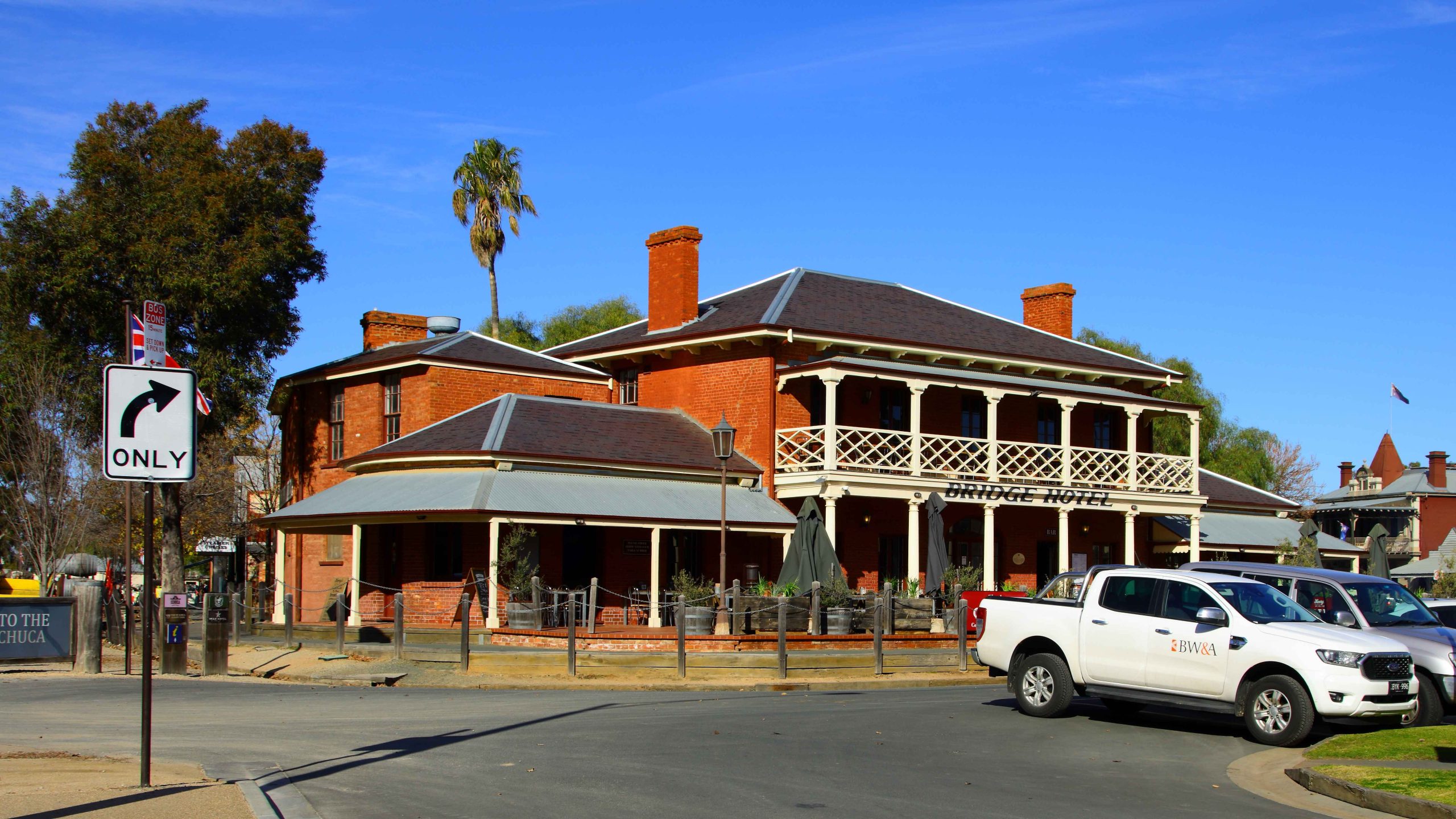
Port of Echuca Precinct
Bridge Hotel, Port Precinct, Echuca.
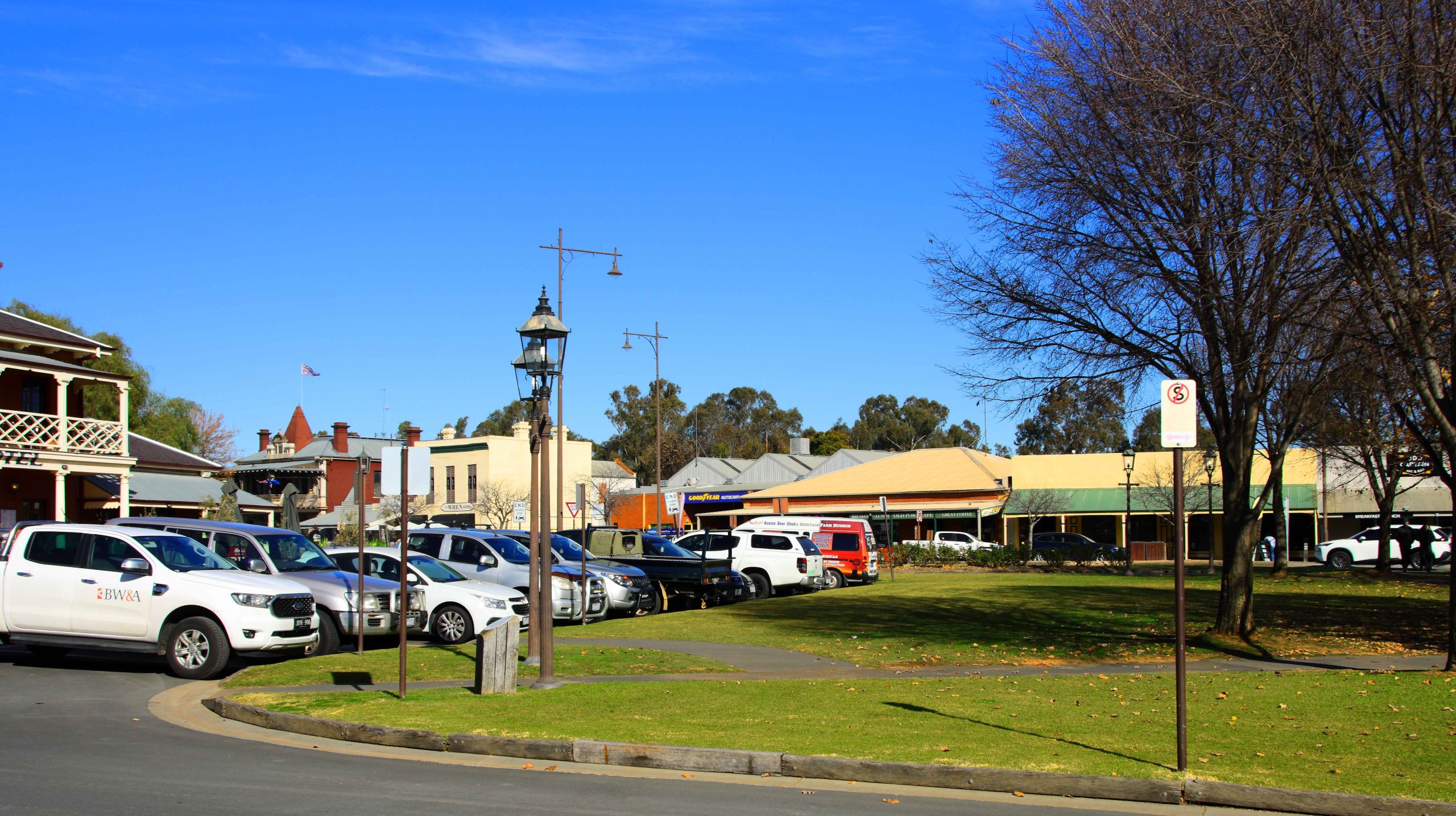
Town Area Near the Port Area, Echuca.
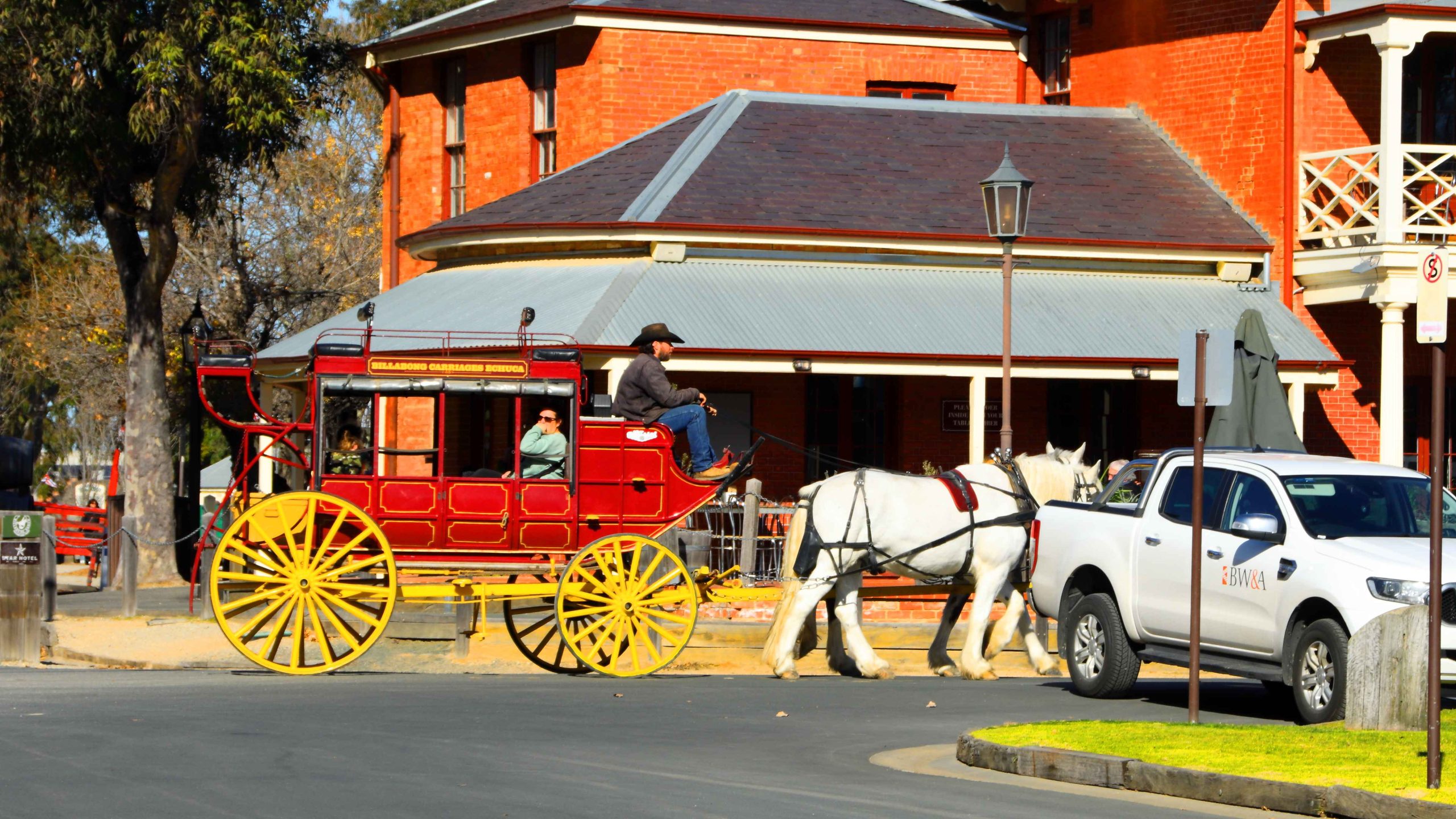
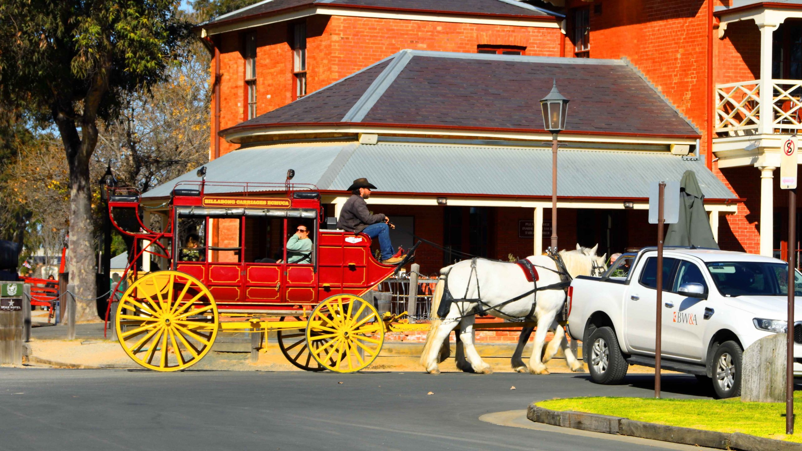
Horse Drawn Carriage Rides Are Available at Port Echuca.
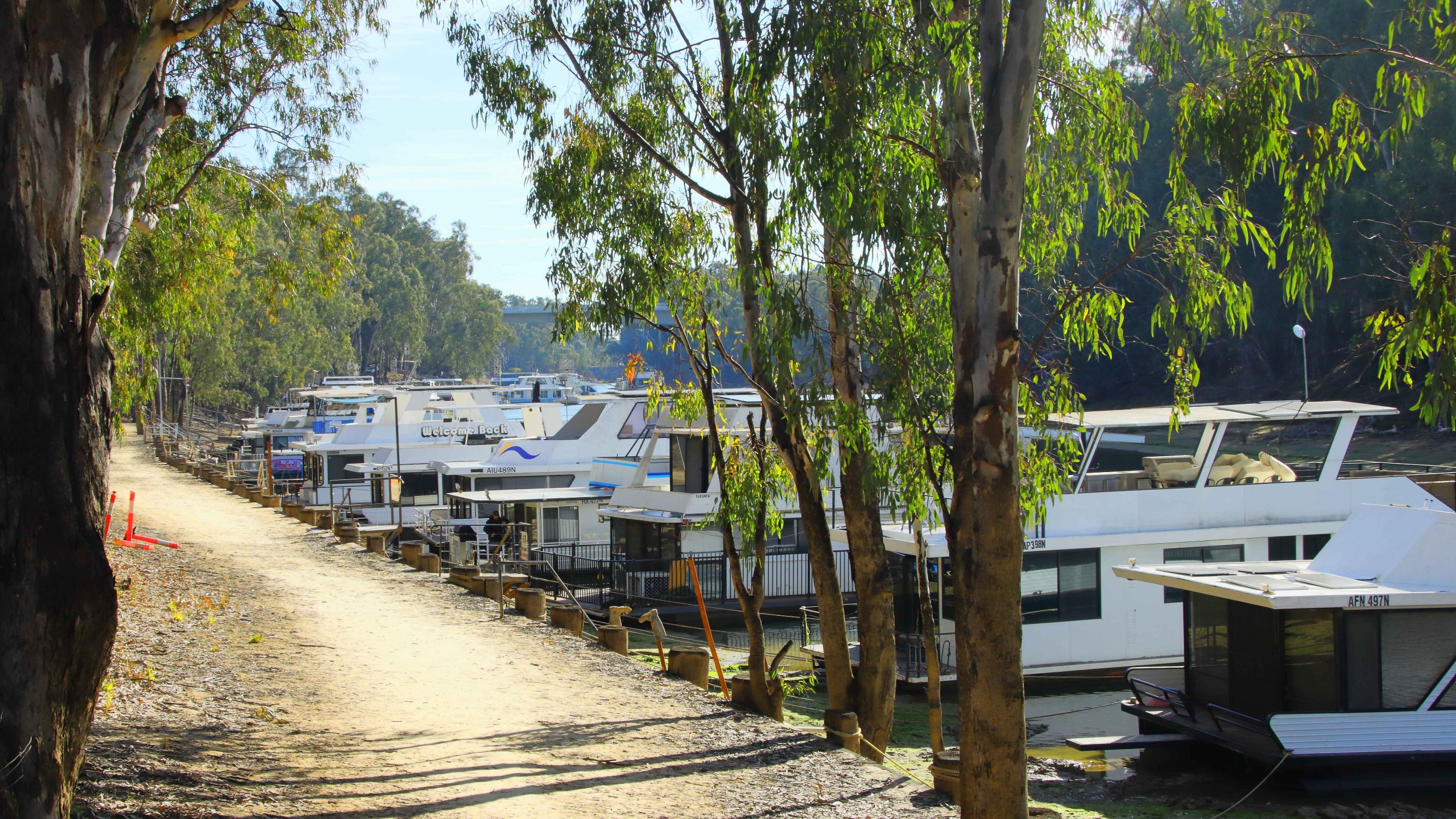
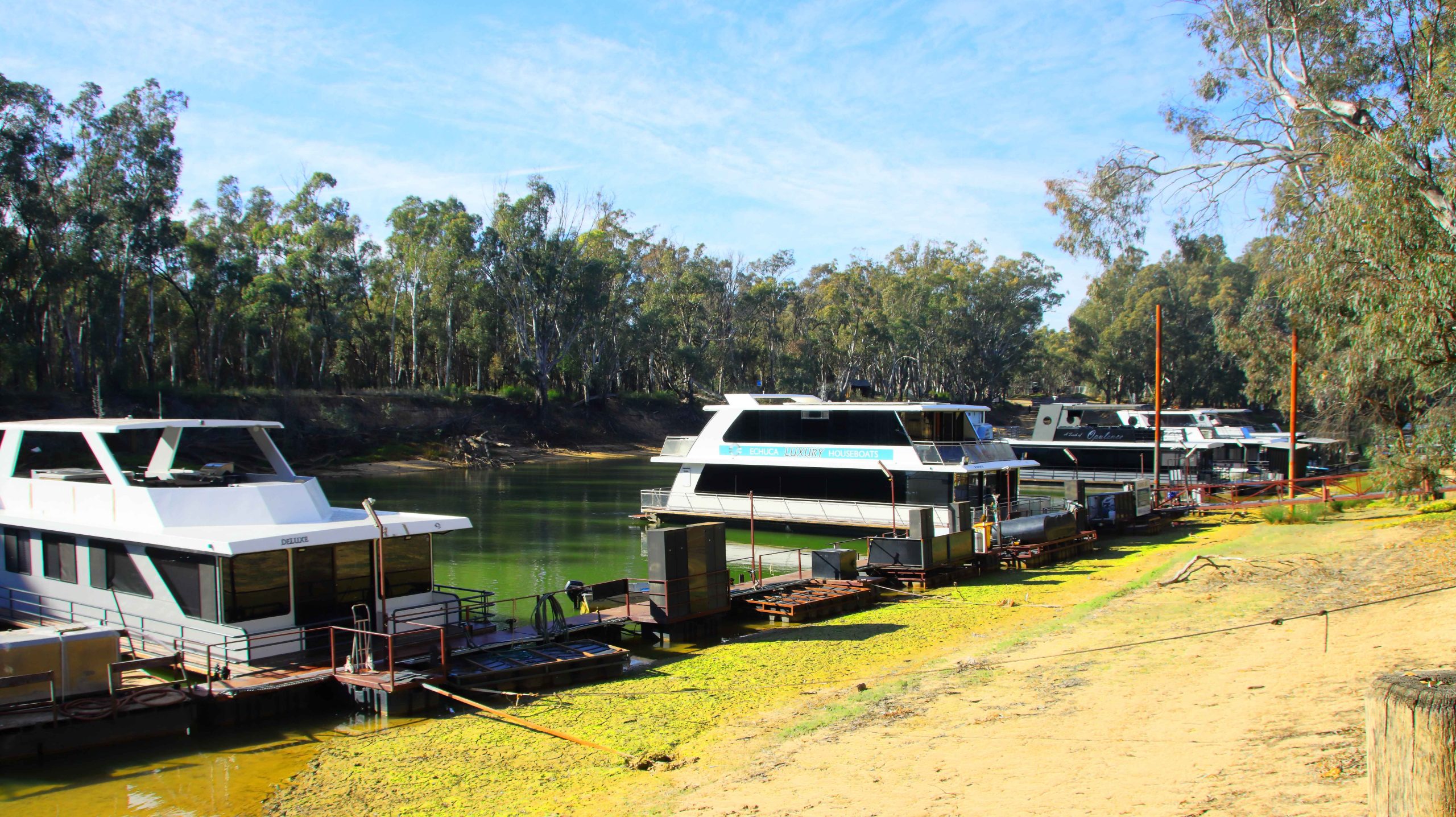
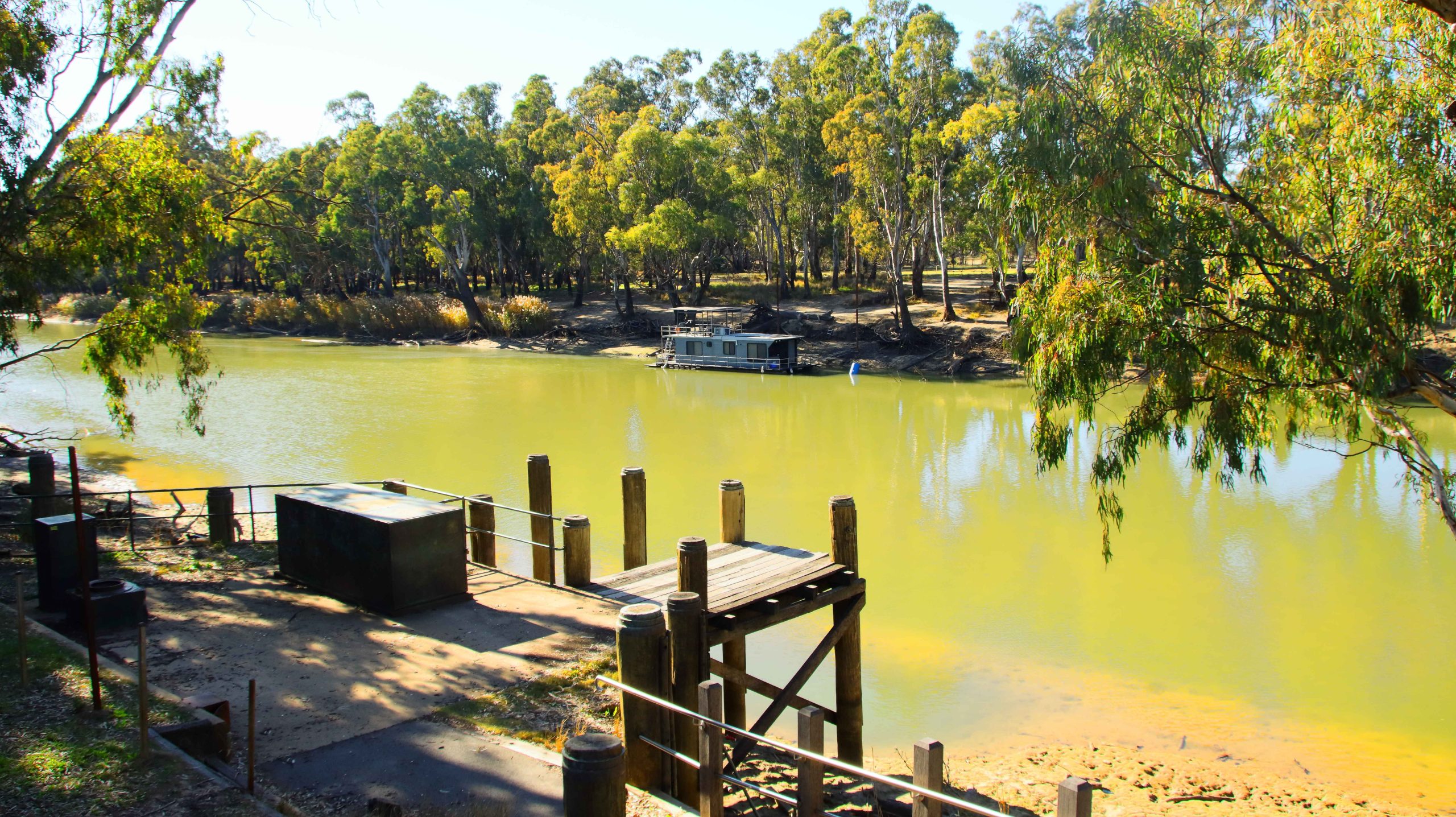
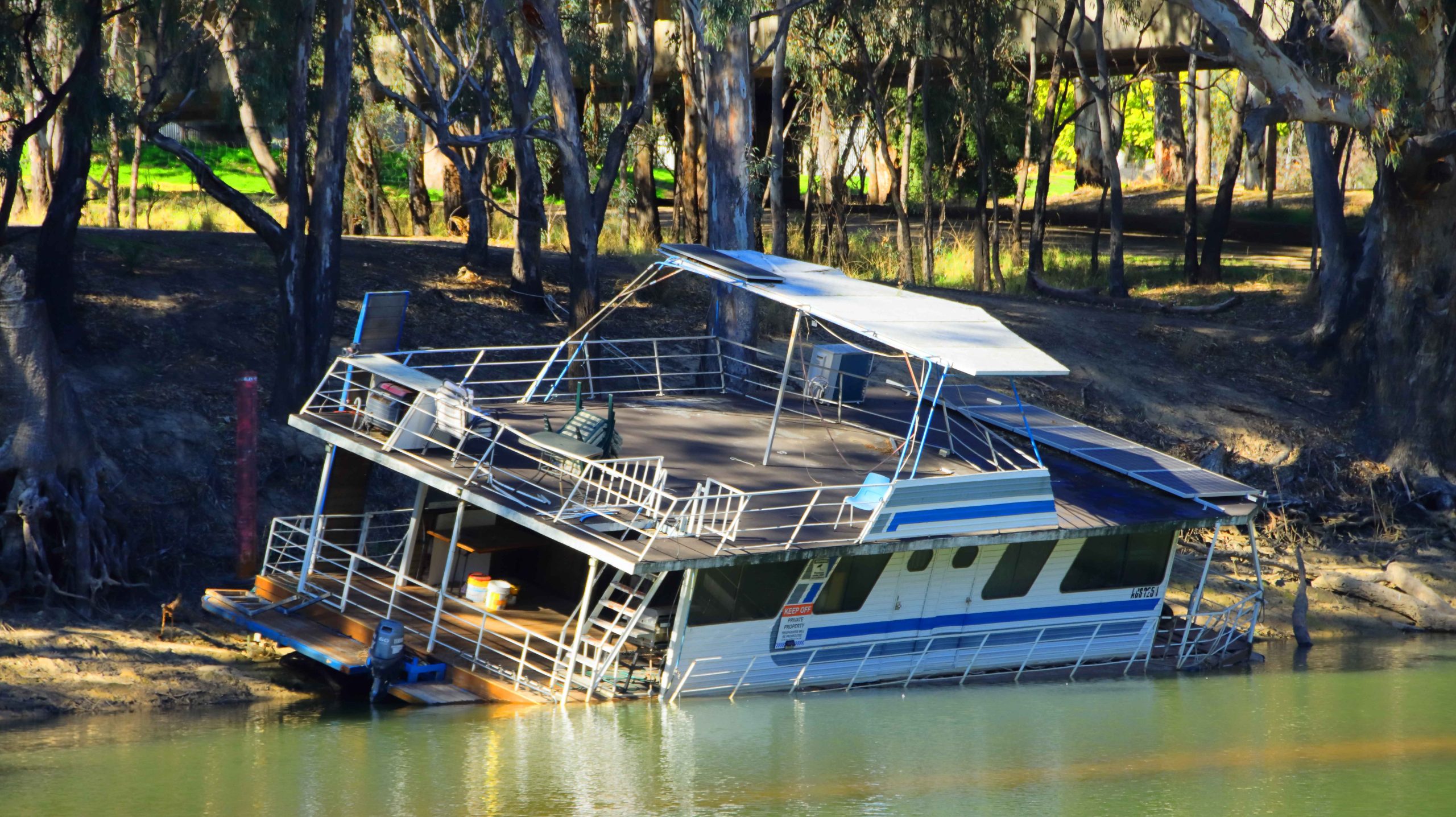
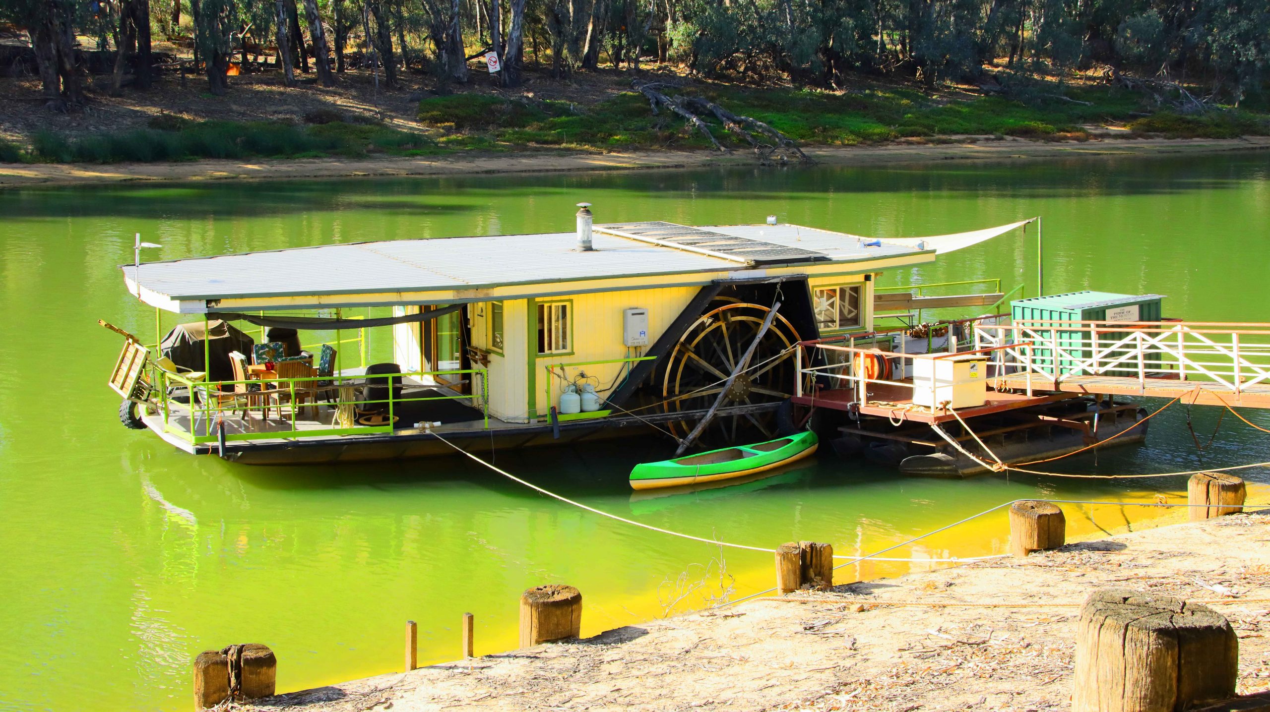
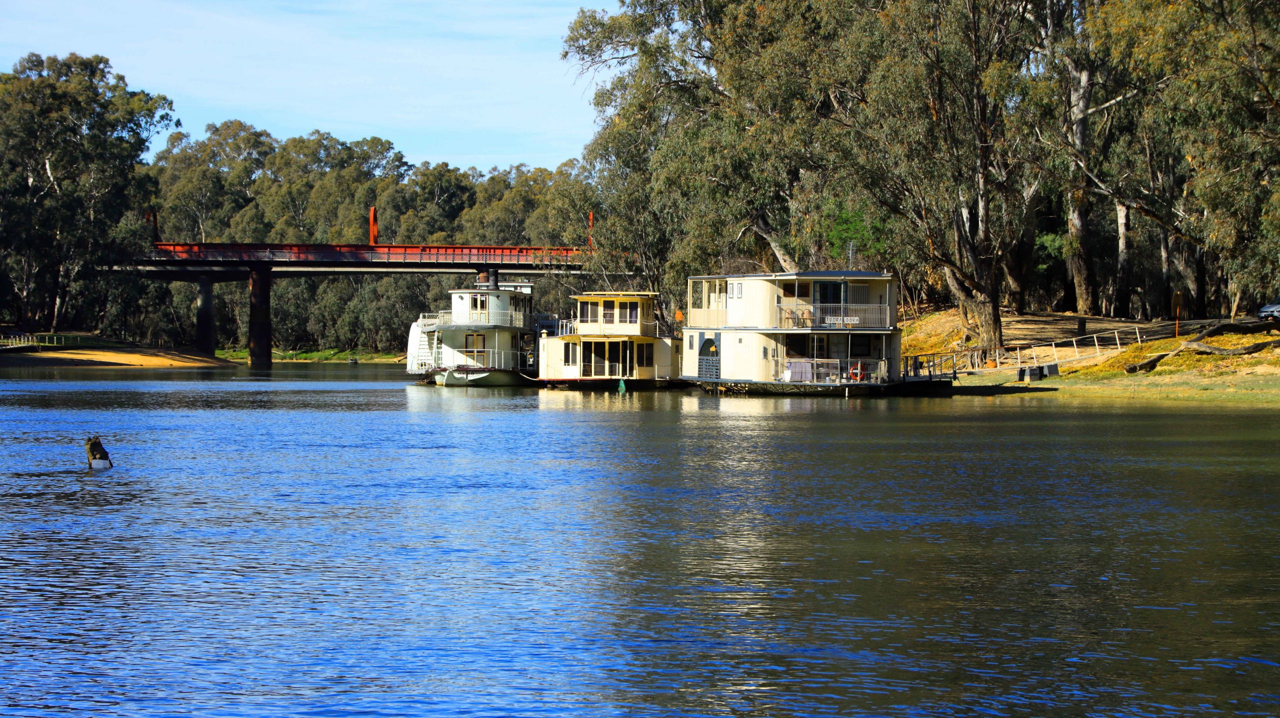
House Boats for Rent, South Bank, Murray River, Echuca.
More Echuca House Boats.
Houseboats, Murray River, Echuca.
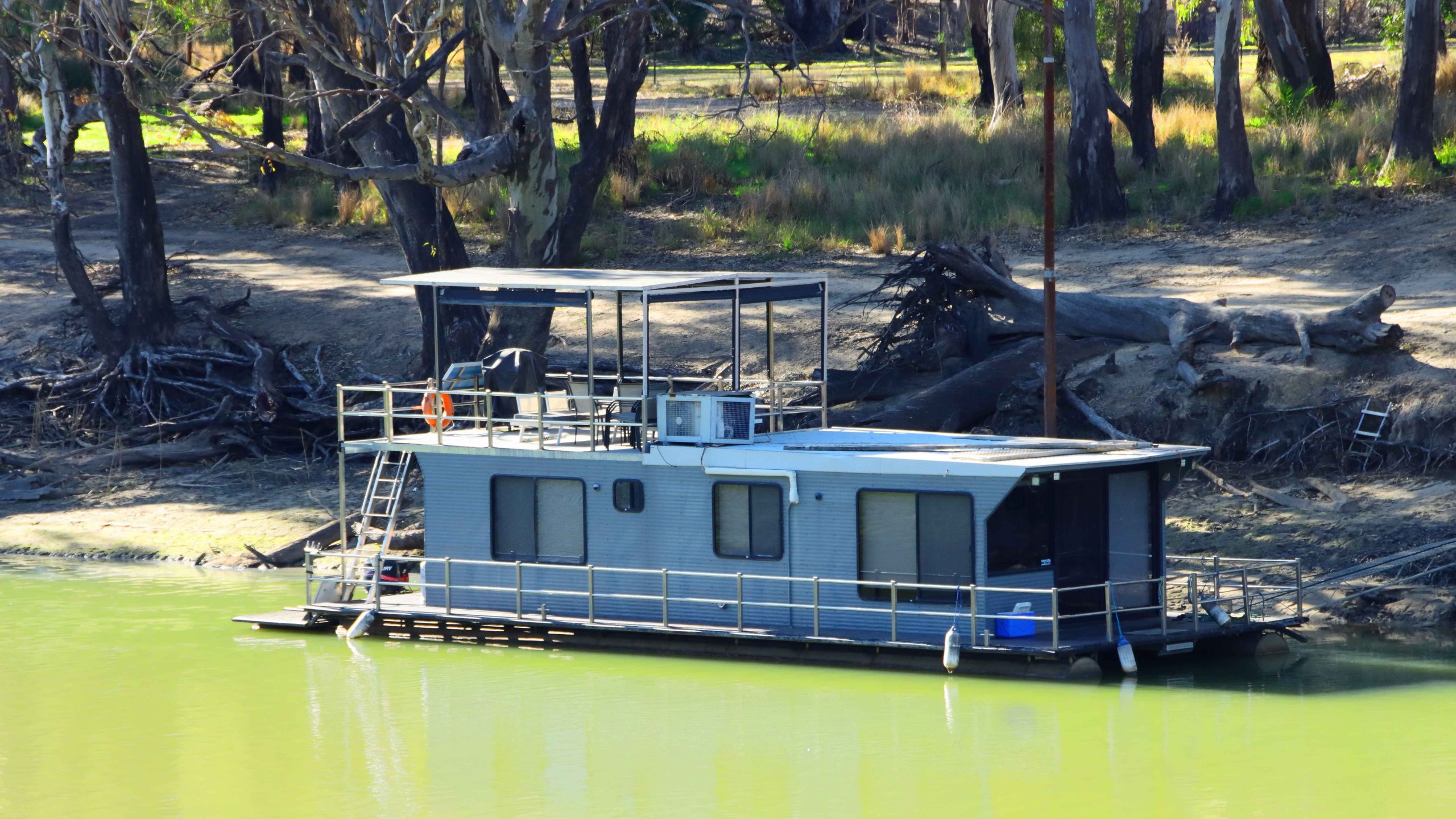
Private Paddle Wheel Houseboat. Echica.
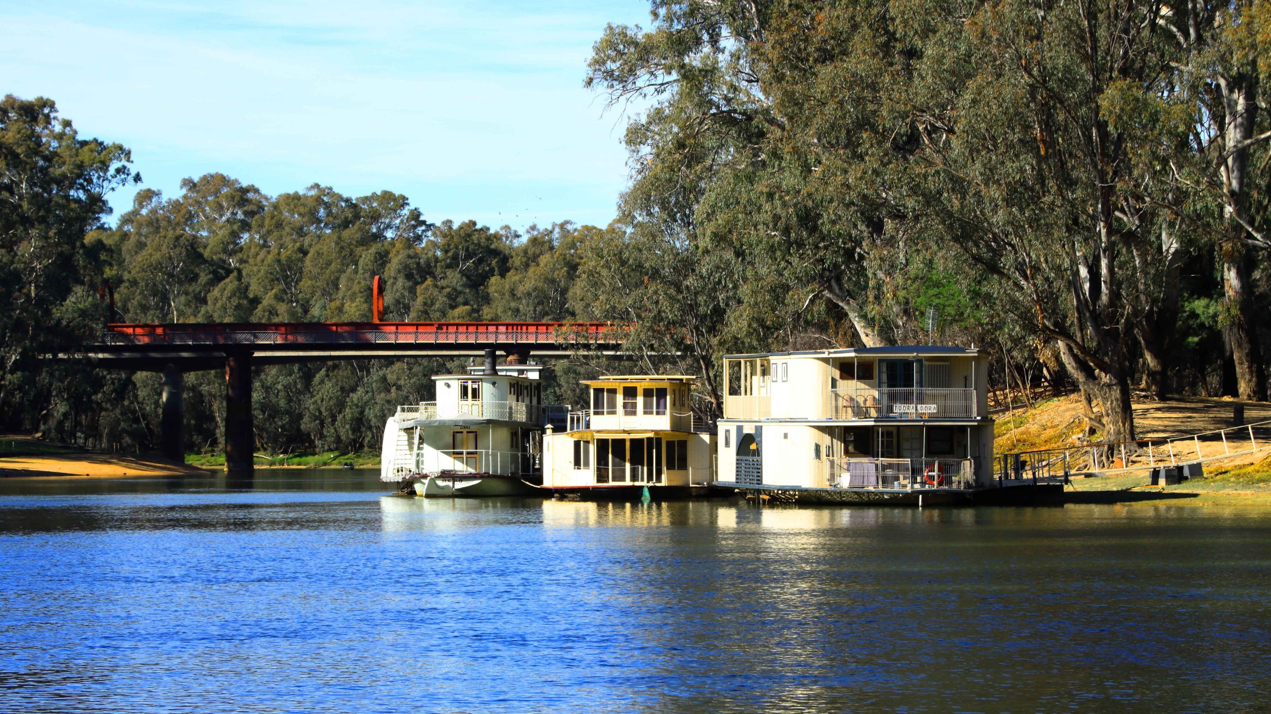
Moored House Boats, near the Original Crossing Bridge into NSW.
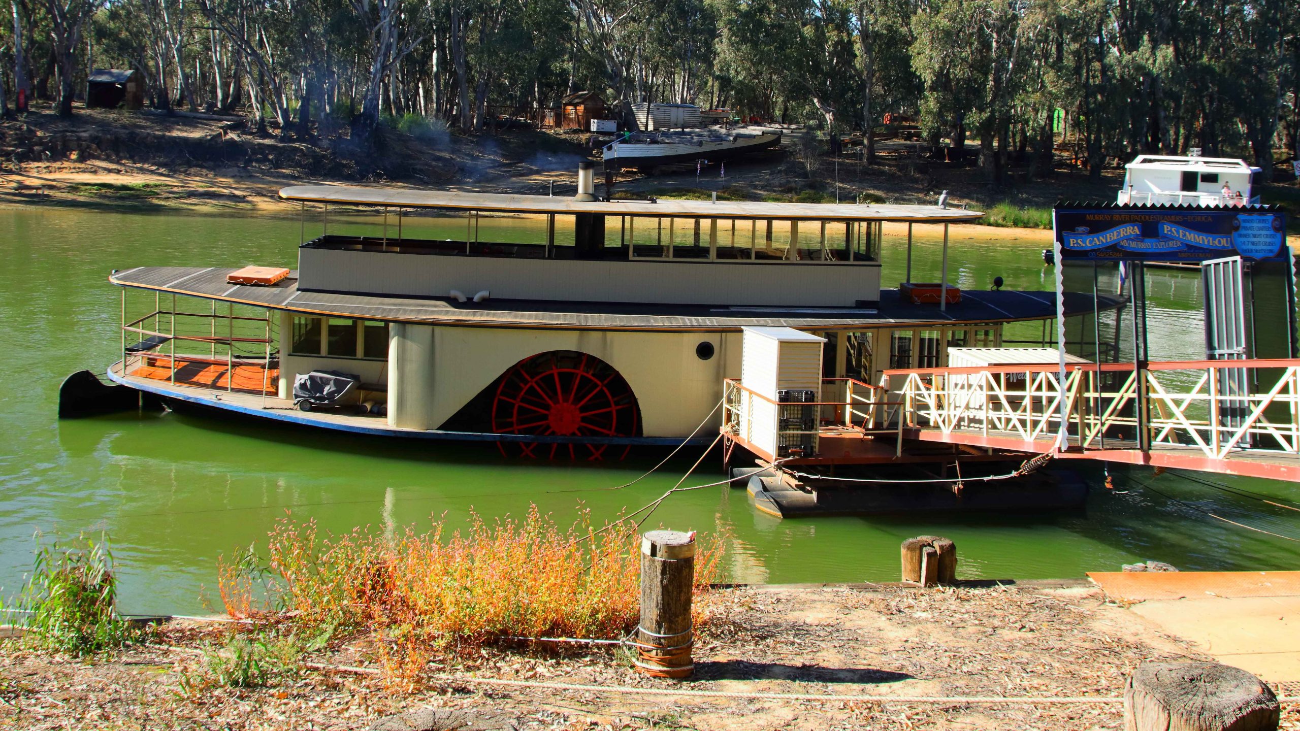
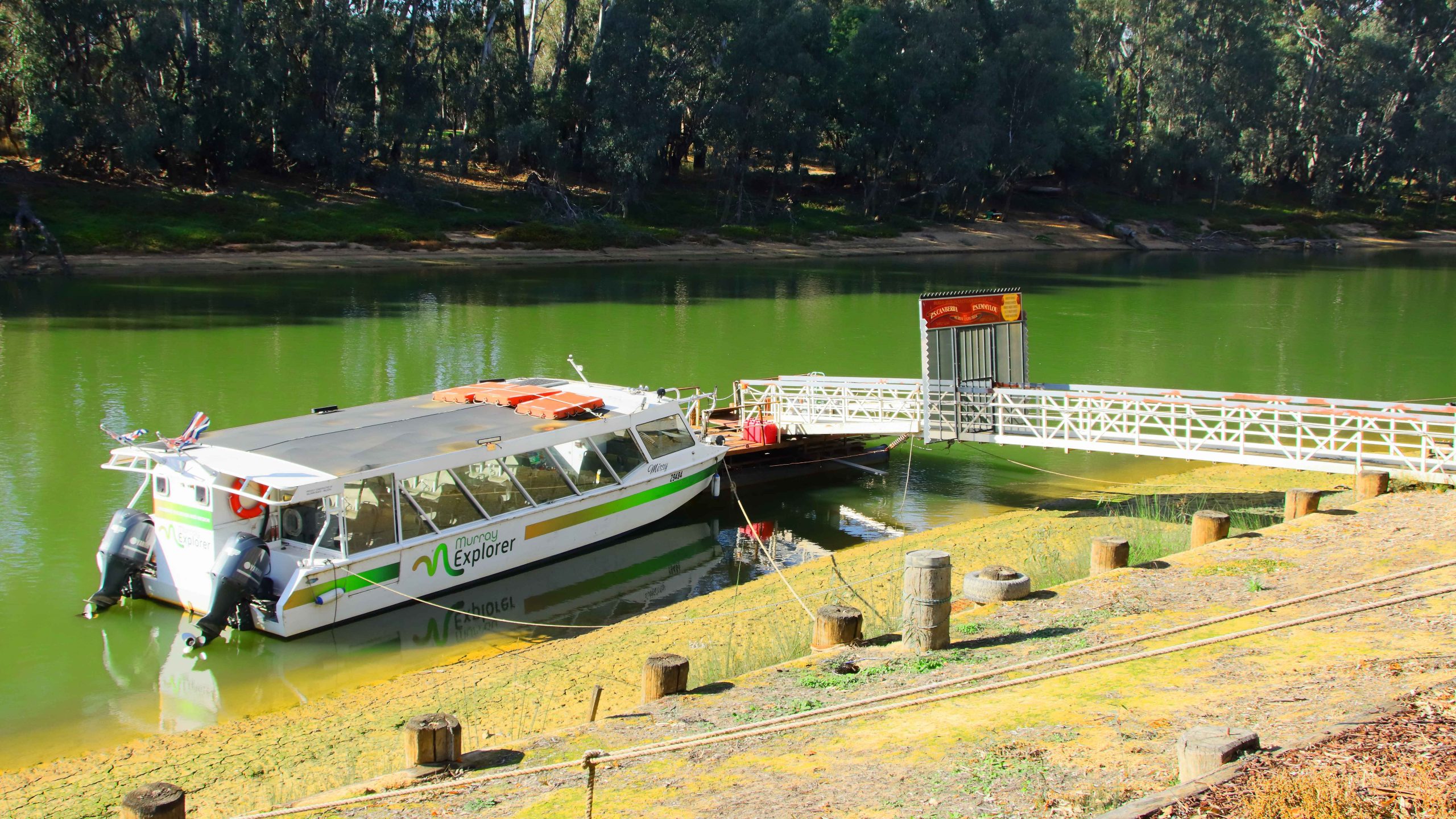
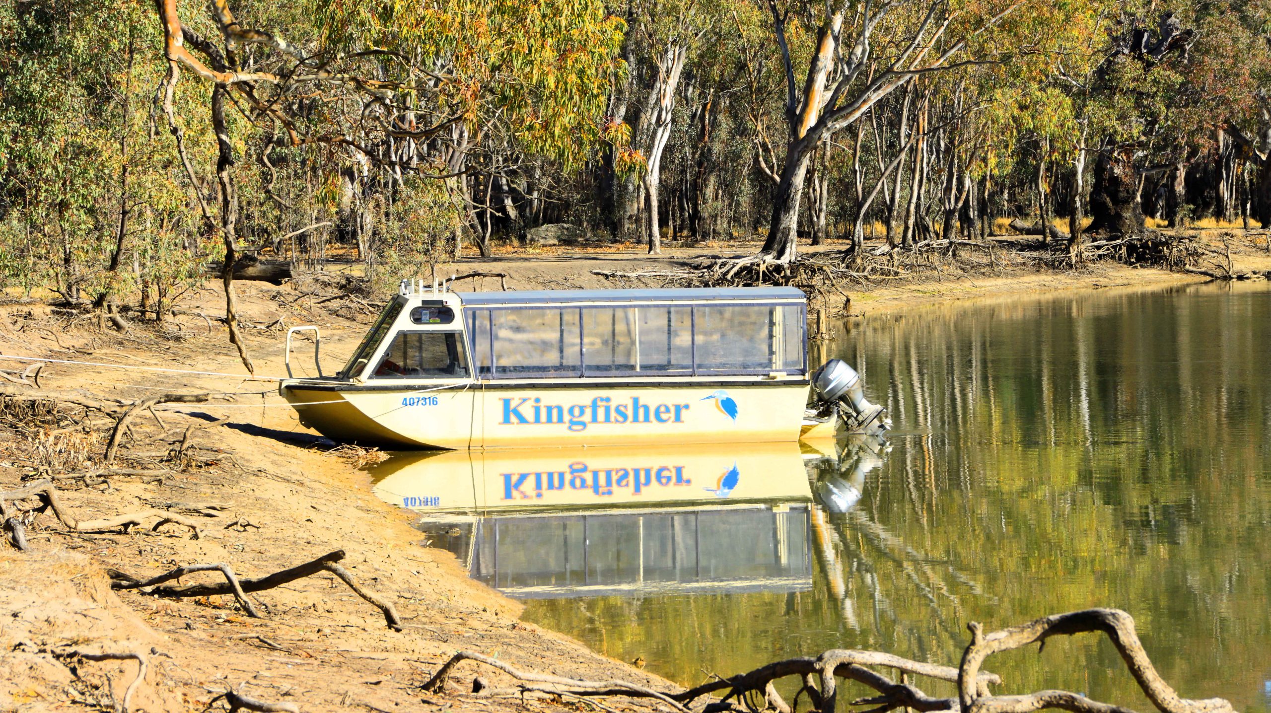
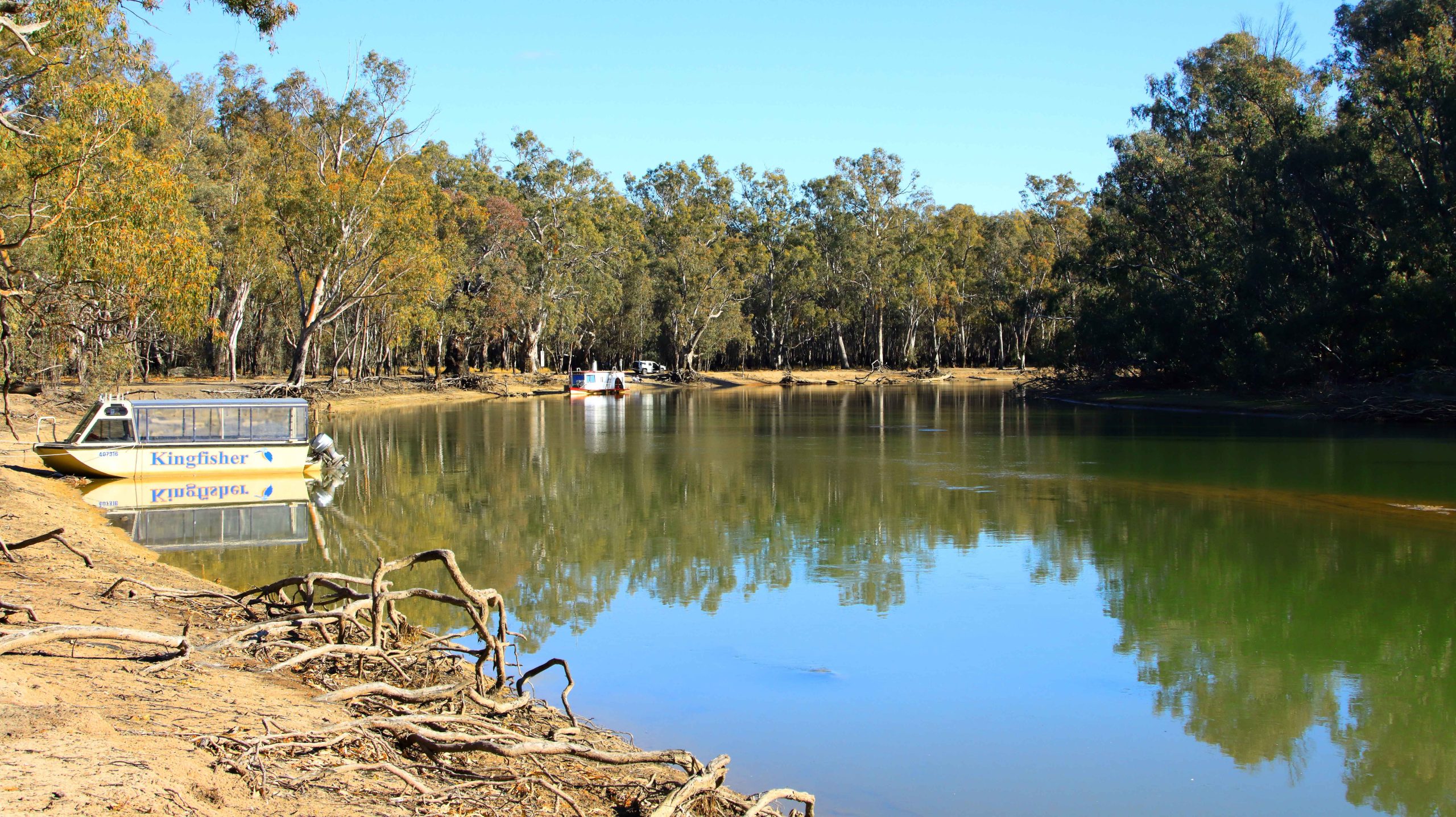
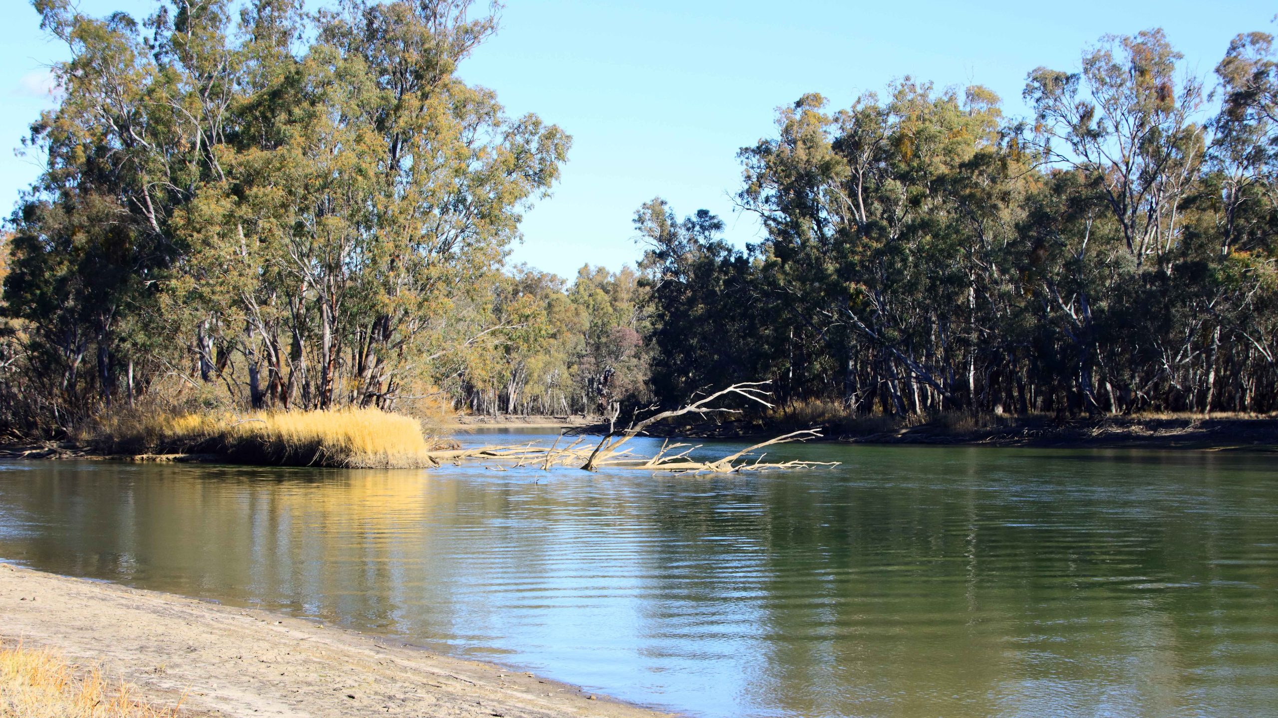
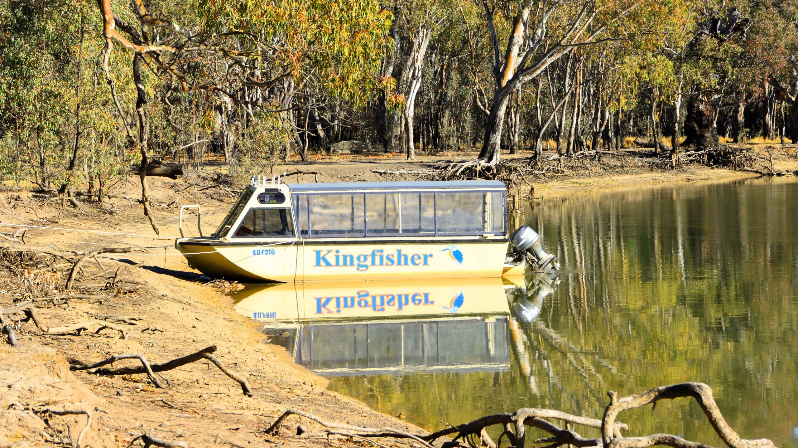
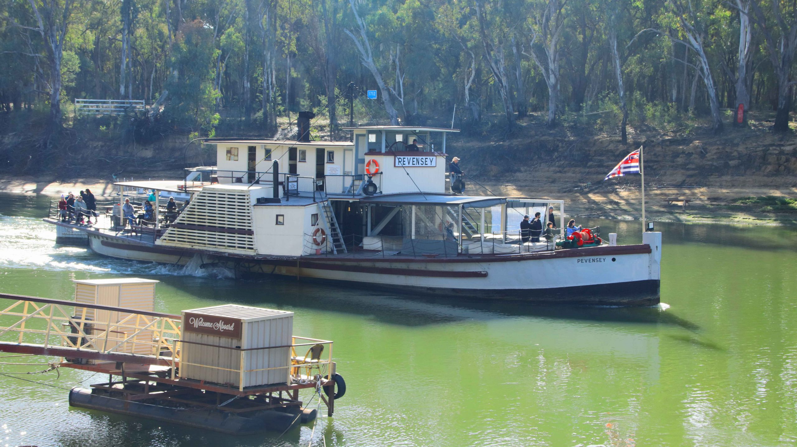
PS Canberra Awaiting Passengers, Murray River, Echuca.
Four hundred kilometres per day keeps oldies like us occupied in just making progress. We stopped for photographs as we could, so there are some distances between the areas covered in this gallery.
Coonabarabran and Gilgandra
Sunset at Coonabarabran NSW.
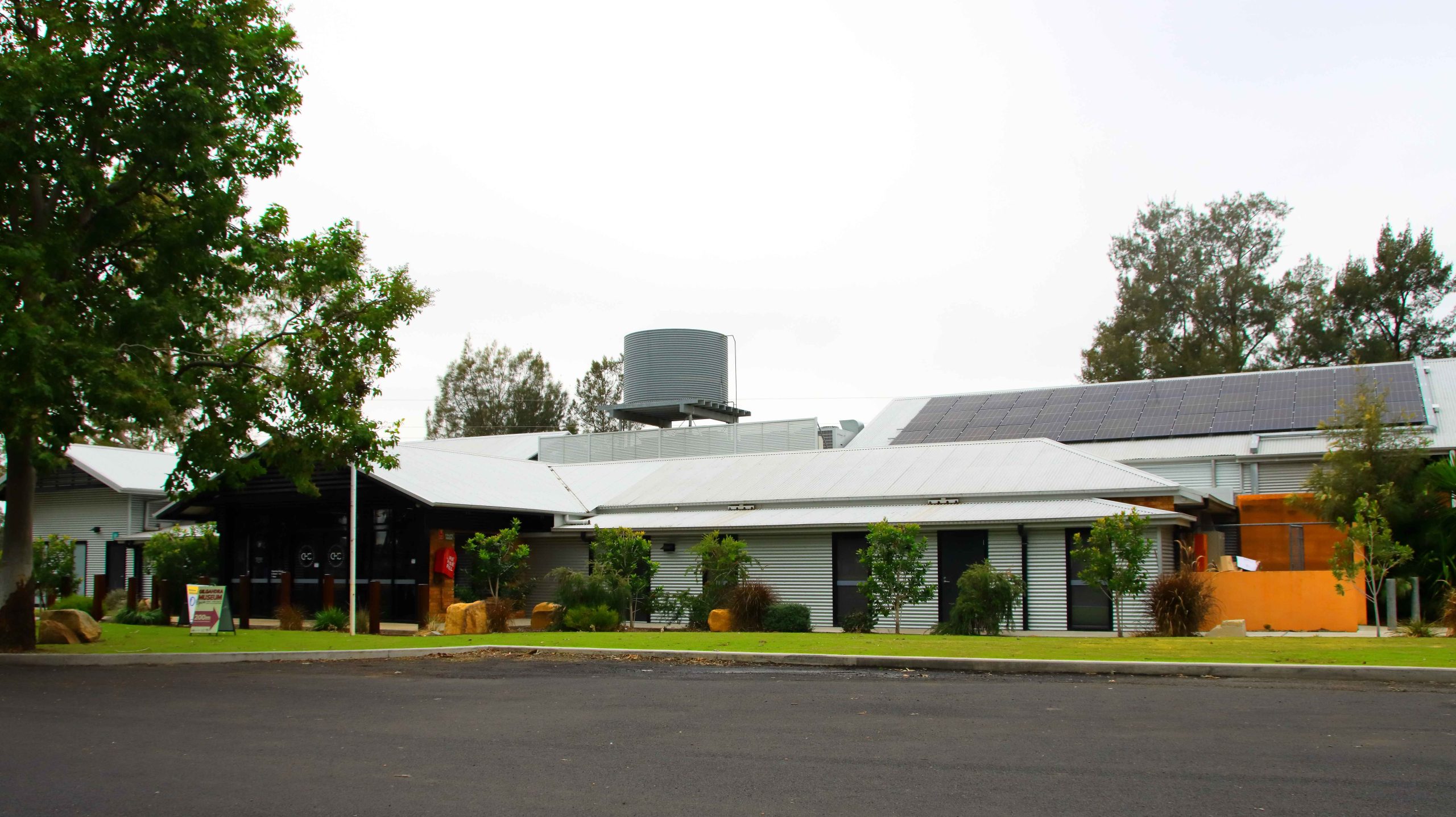
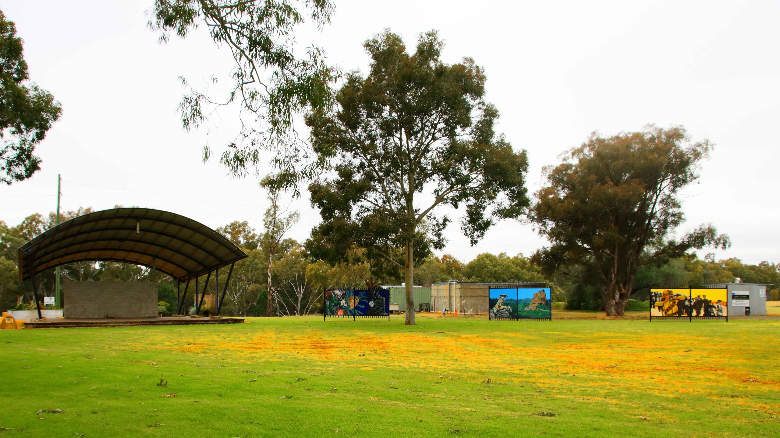
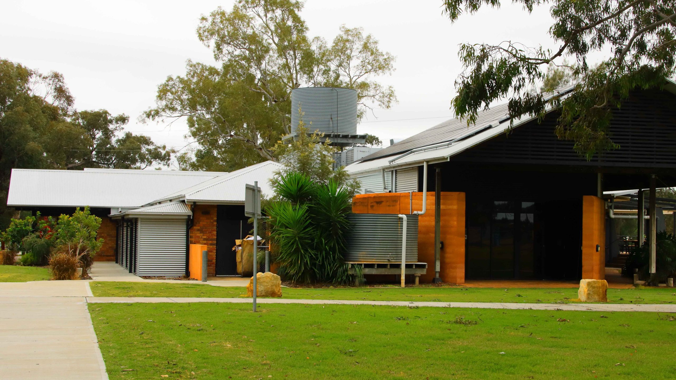
Cooee Information Centre, Gilgandra NSW
Cooee Information Centre, Gilgandra NSW
Cooee Information Centre, Gilgandra NSW
Cooee Information Centre, Gilgandra NSW
Deniliquin
Landing, Edwards River,Deniliquin NSW
Houseboat, Edwards River, Deniliquin NSW
Edwards River, Deniliquin NSW
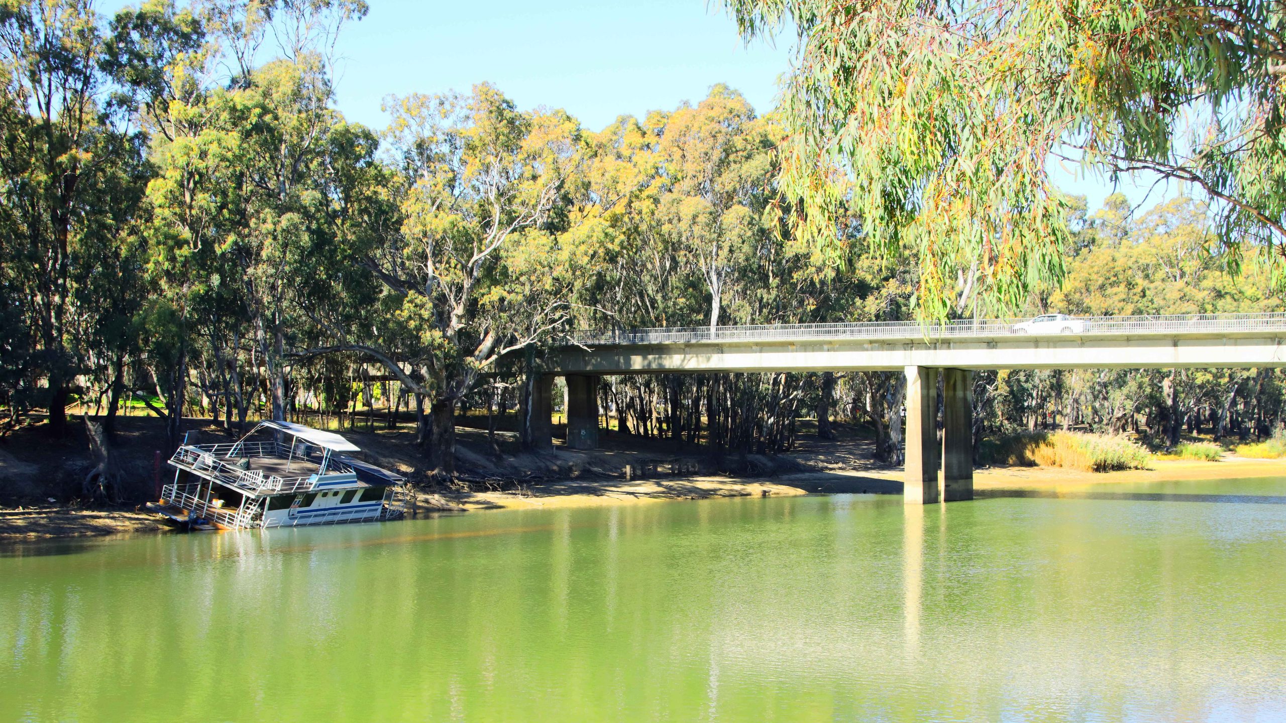
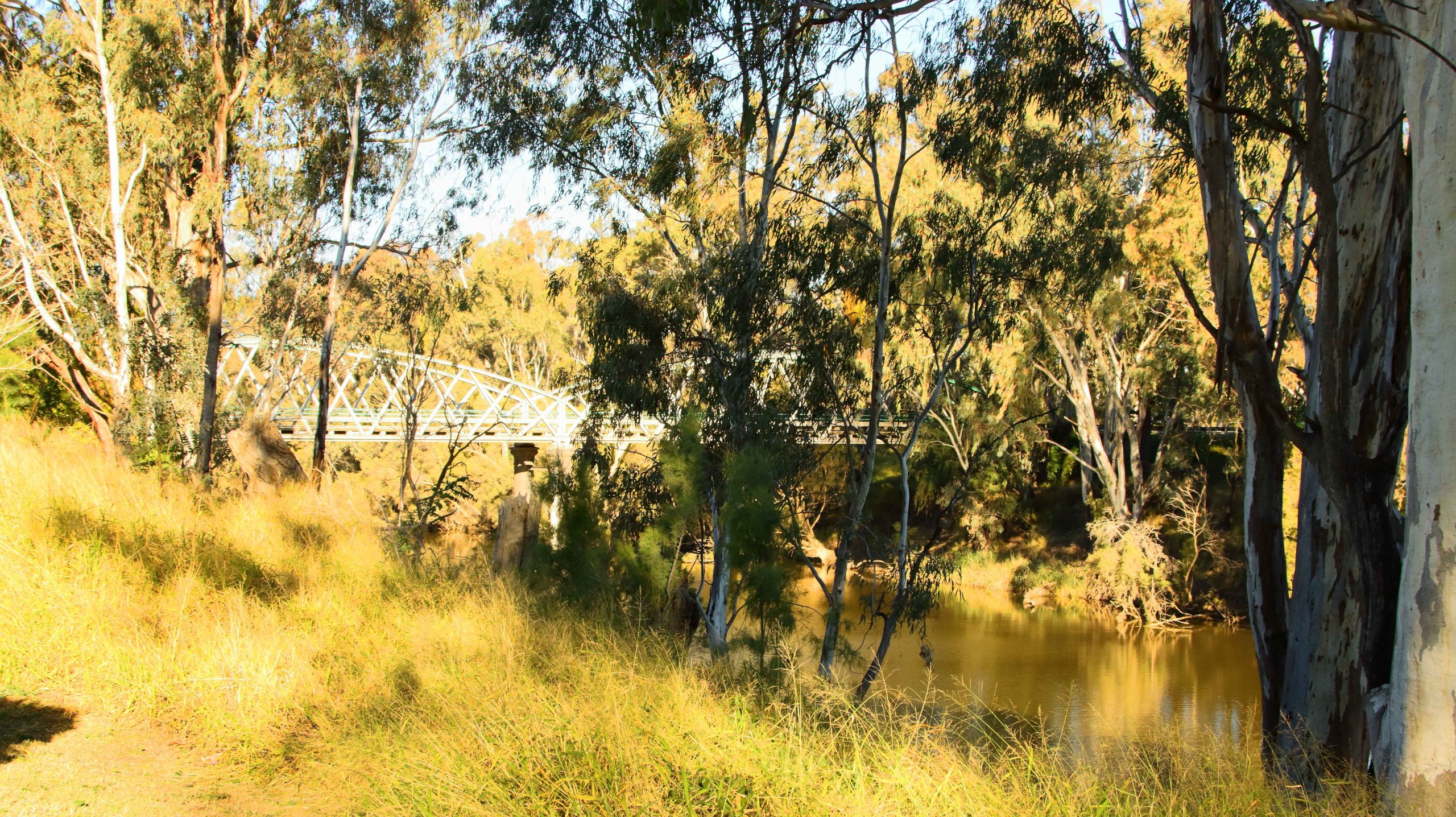
Bridge on Edwards River, Deniliquin NSW
Beached River Boat, Deniliquin NSW
Utility Muster Sign, Deniliquin, NSW
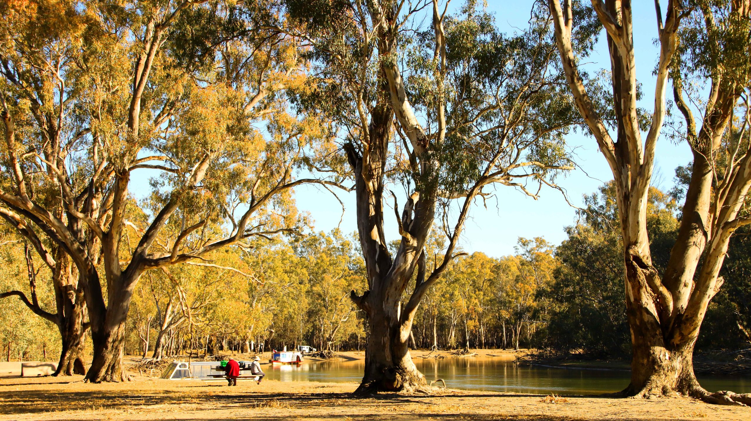
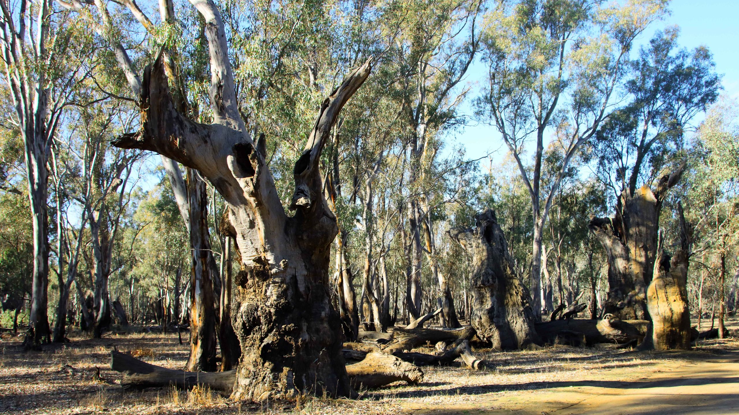
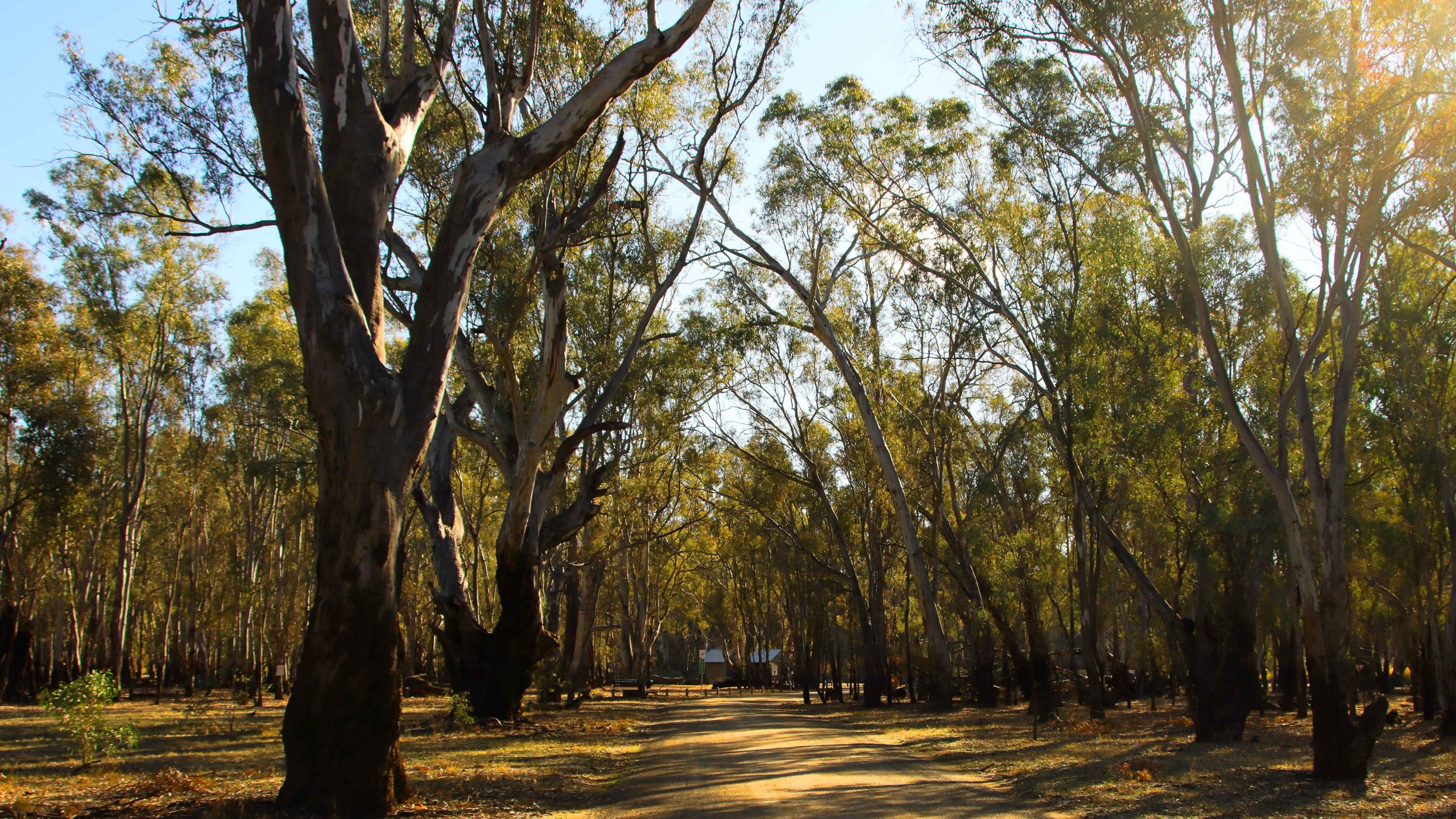
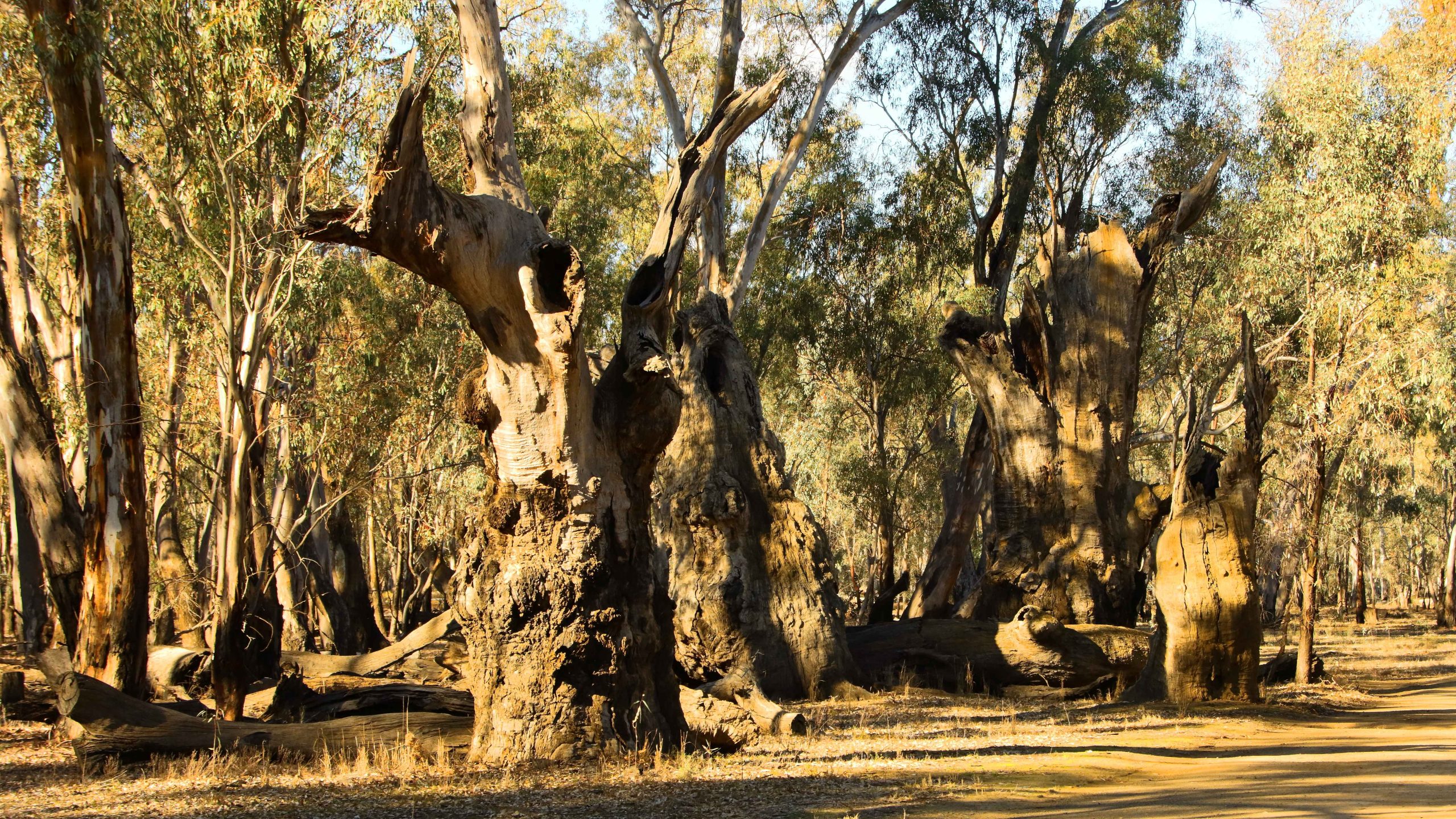
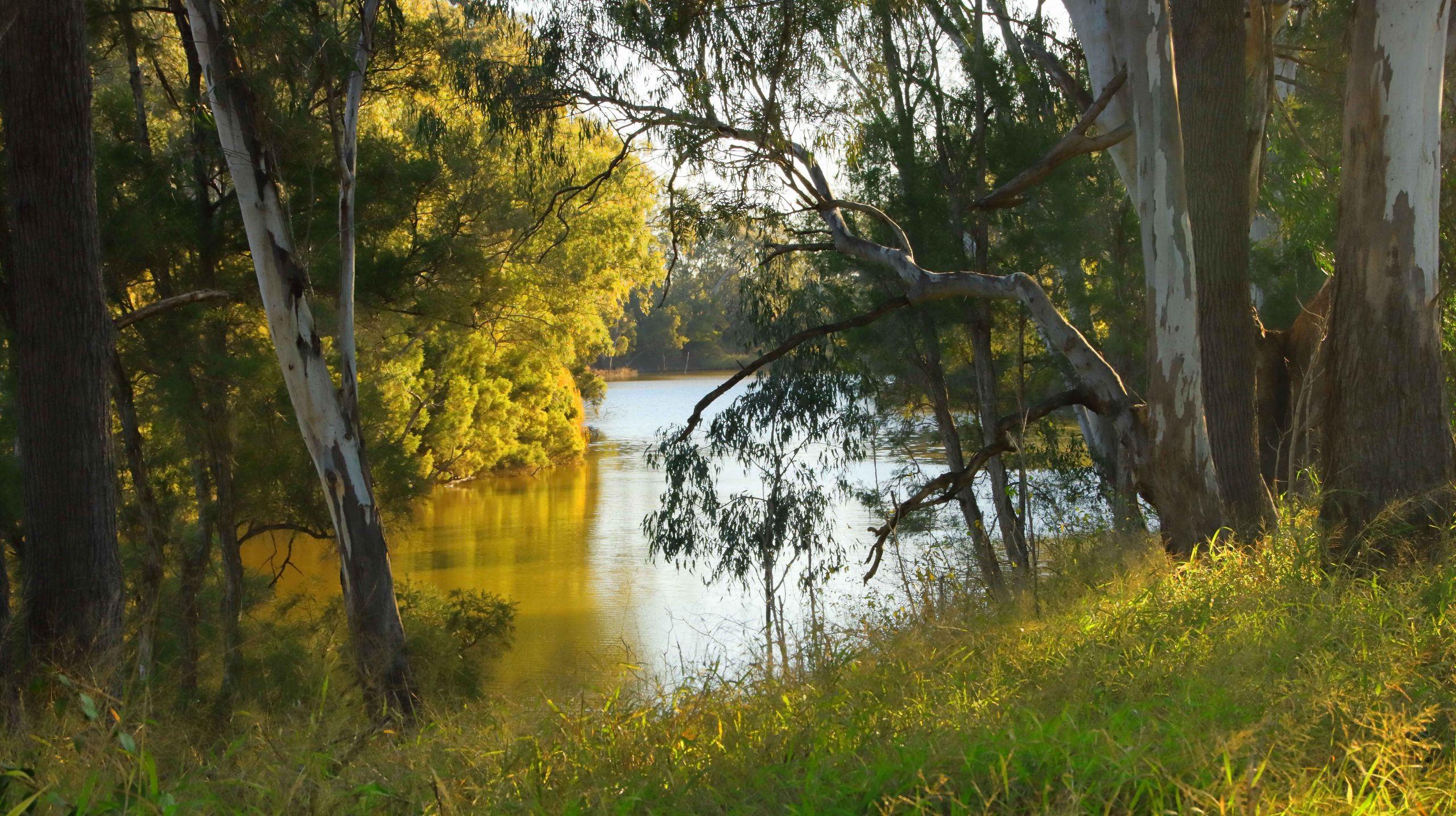
Barmah National Park
Forest Flood Plains, Barmah National Park, Near Echuca
Murray River, Barmah National Park, Near Echuca
Lake Cruise Boat, Murray River, Barmah National Park, Near Echuca
Lake Cruise Boat, Murray River, Barmah National Park, Near Echuca
Murray River, Barmah National Park, Near Echuca
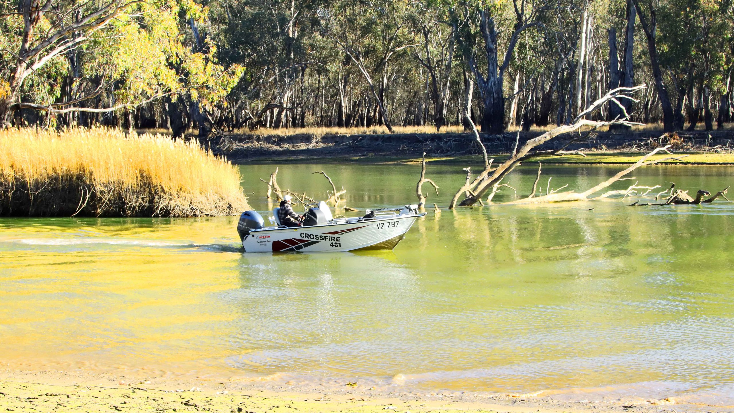
Powerboat Navigating Shallow Water, Murray River, Barmah National Park, Near Echuca
Murray River, Barmah National Park, Near Echuca
Mistletoe, Murray River, Barmah National Park, Near EchucaMurray River, Barmah National Park, Near Echuca
Mistletoe, Barmah National Park near Echuca
Murray River, Barmah National Park, Near EchucaRiver Red Gums. Barmah National Perk near Echuca,
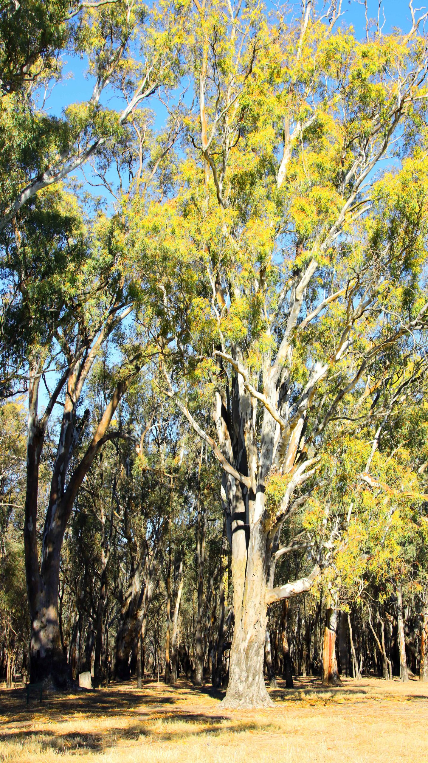
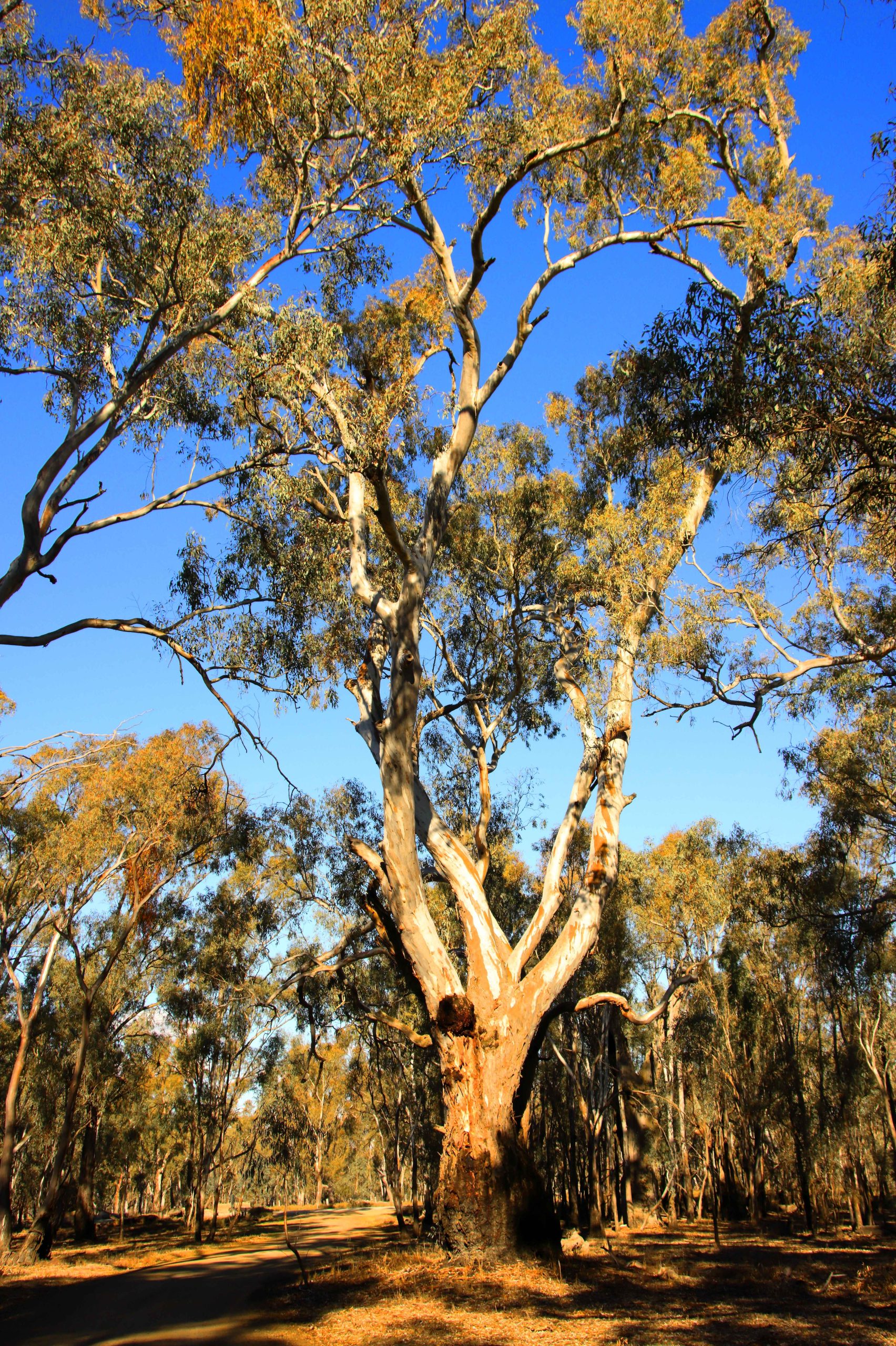
A River Red Gum in the Barmah National Park near Echuca
Boat Mooring Area, Barmah National Perk near Echuca,River Red Gum Stumps, Barmah National Perk near Echuca,
River Red Gum, Barmah National Perk near Echuca,
River Flood Plains, Barmah National Perk near Echuca,River Red Gum Stumps, Barmah National Perk near Echuca,
As we travel, I take a lot of photos and increasingly lots of video. Much more than can be used in our travel blog, Mobilesheathers. To let you see more of my photographic work I have decided to add some photo galleries to our website. We hope that you like the additional material. Photos included in the published blog will repeat.
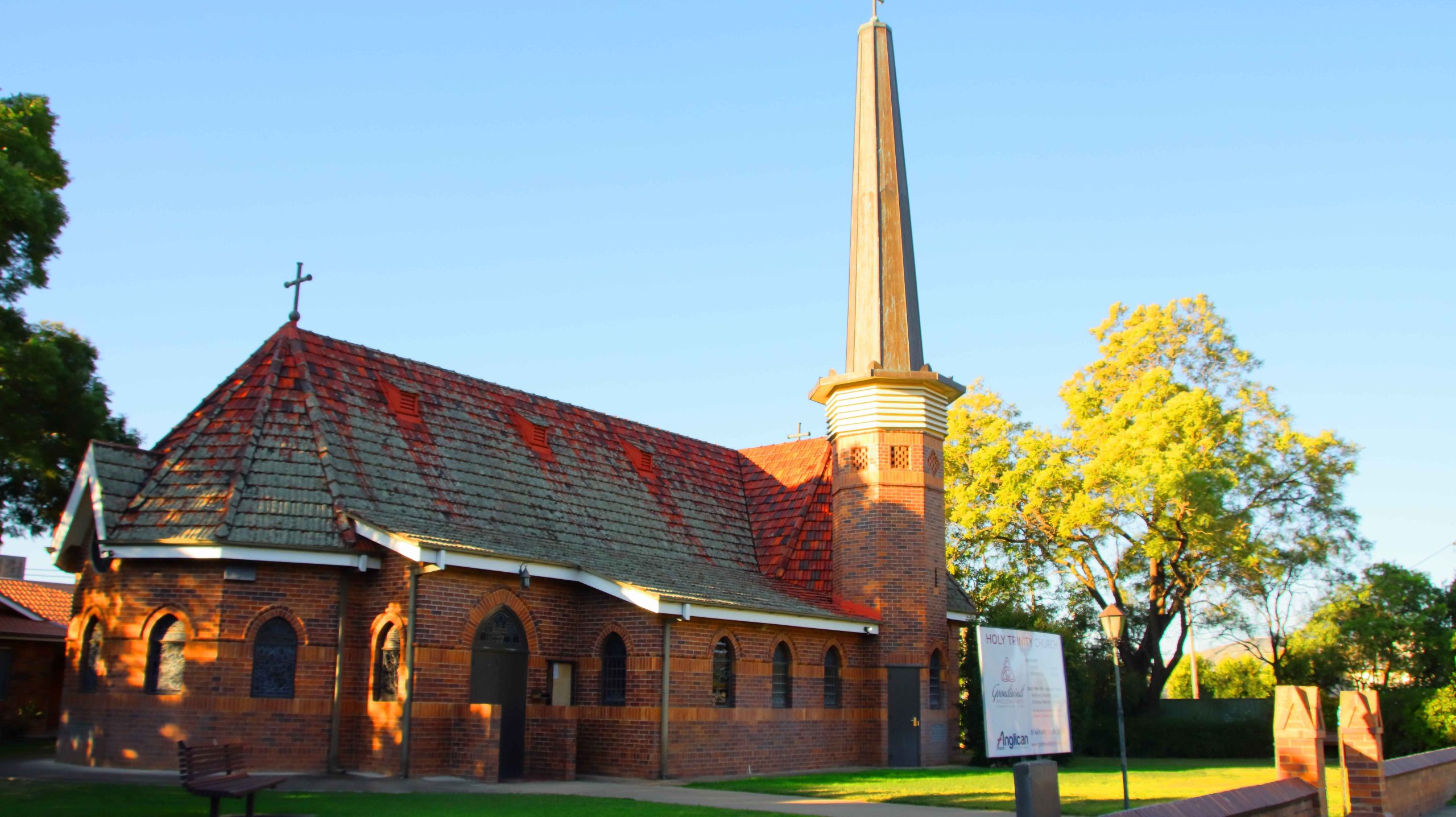
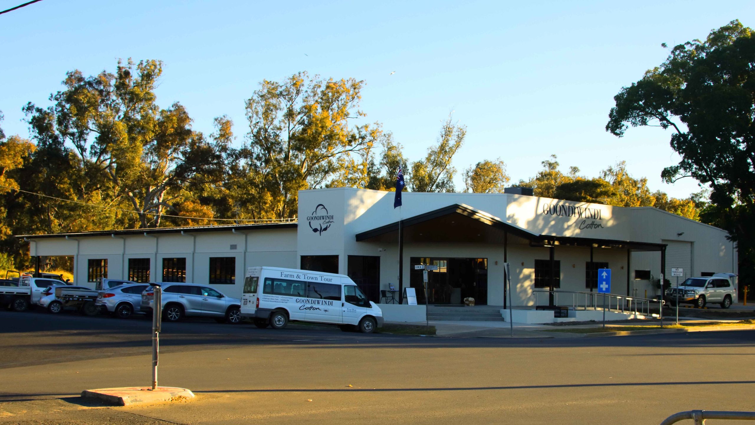
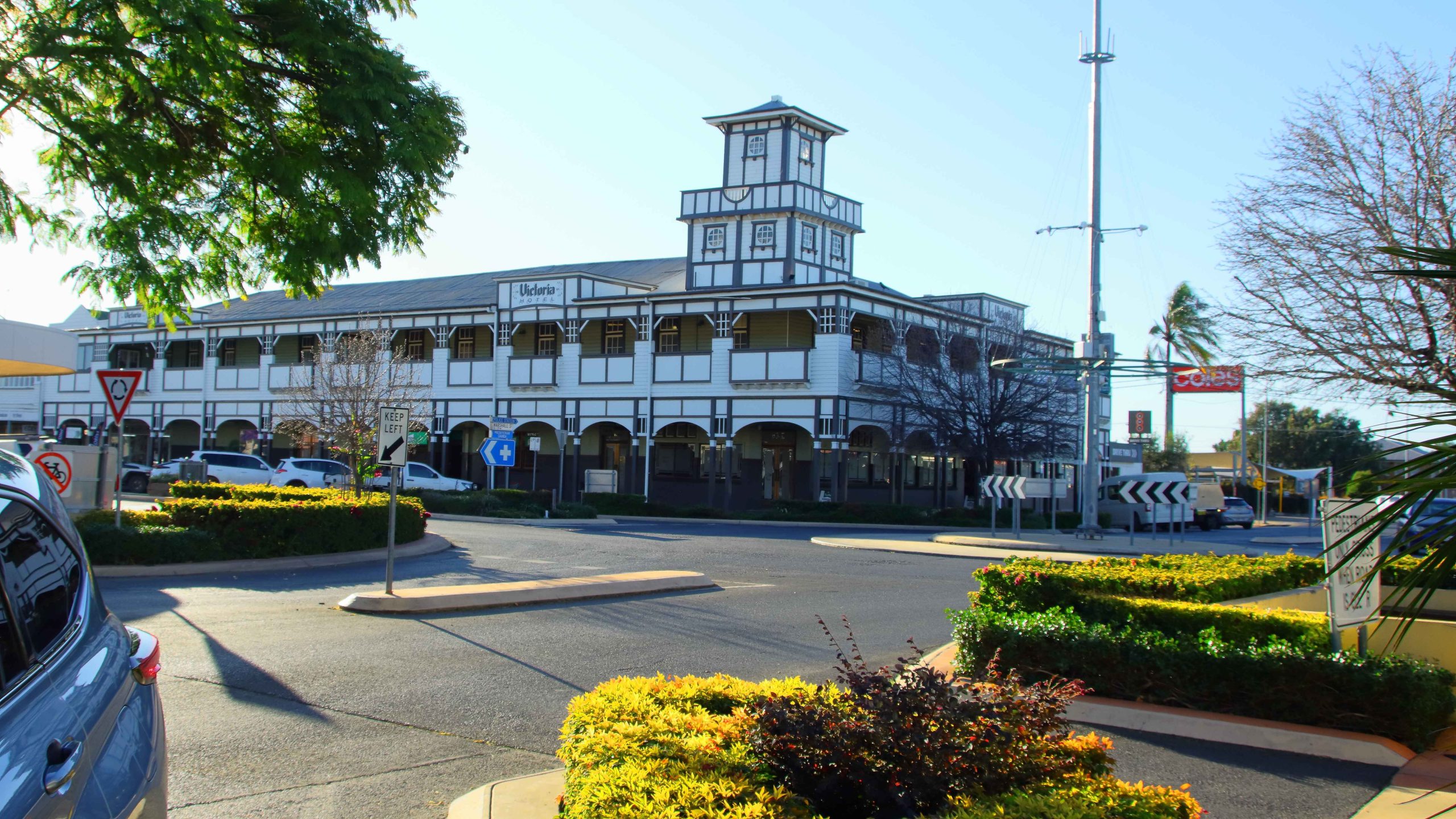
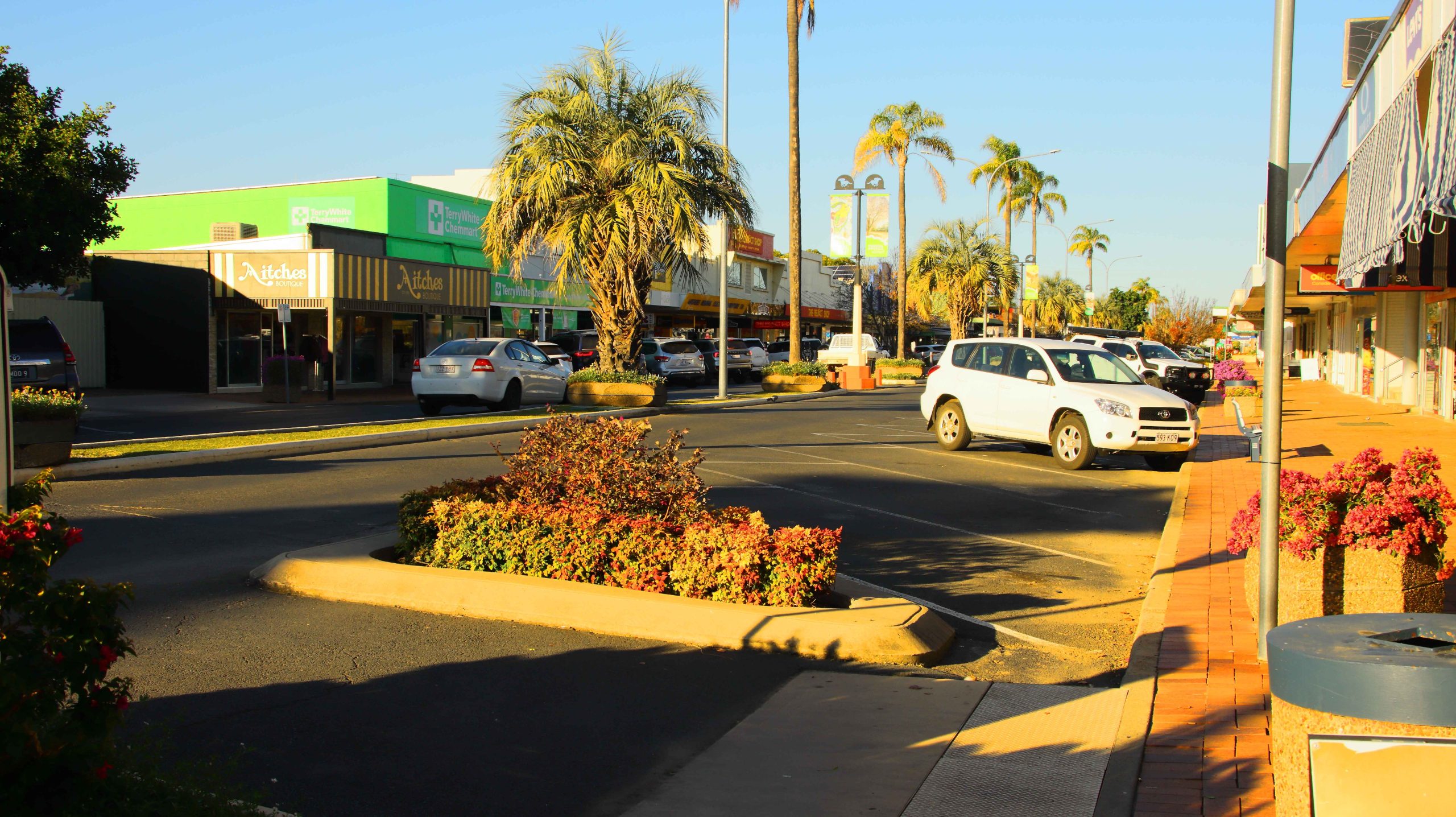
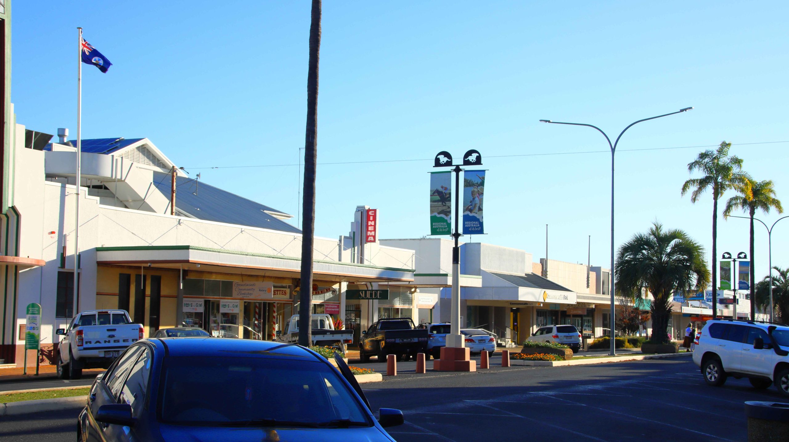
Goondiwindi
Goondiwindi was our first overnight stop, having travelled from Redcliffe, Queensland via the Warrego and Gore Highways and Toowoomba and Milmerran.
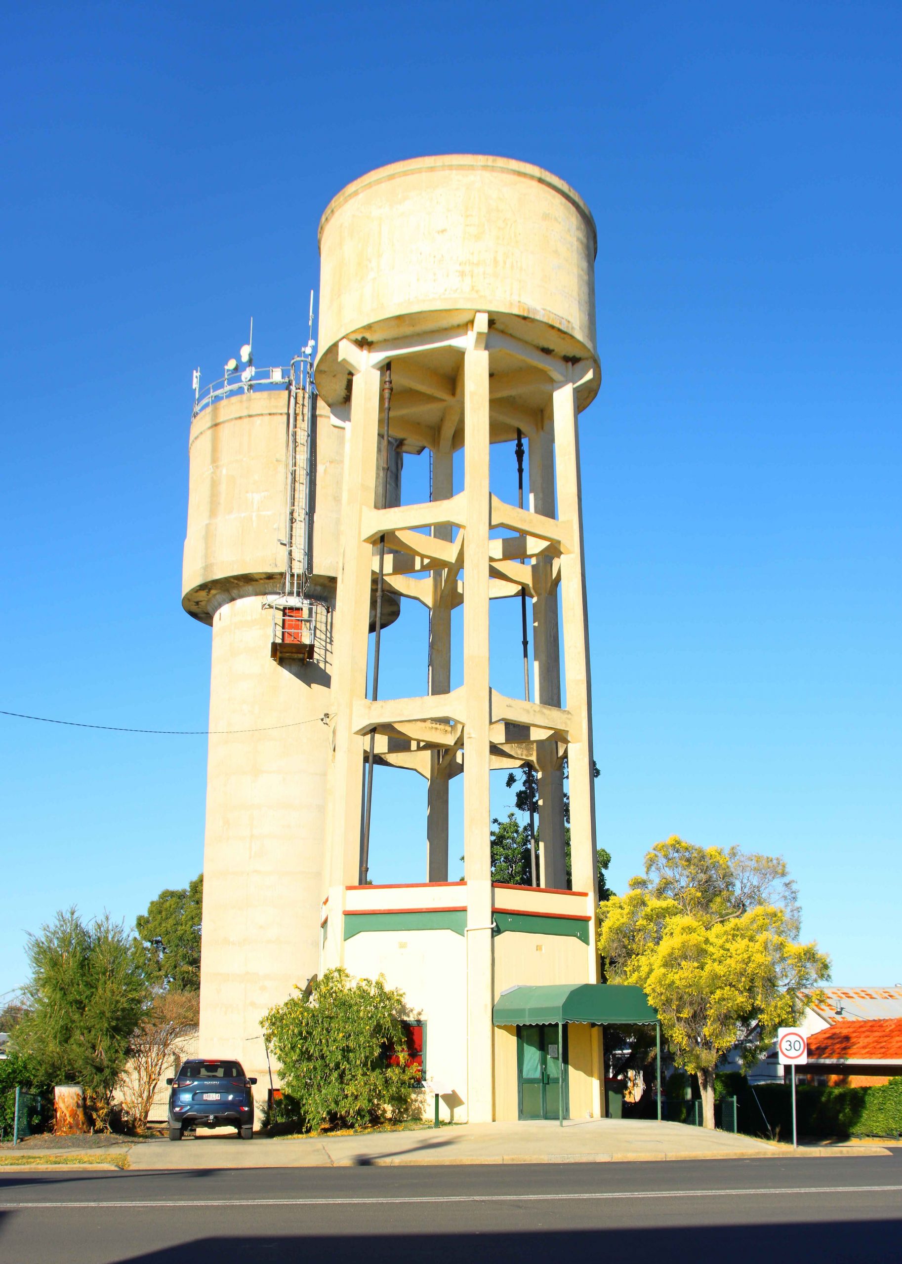
Goondiwindi Water Tower
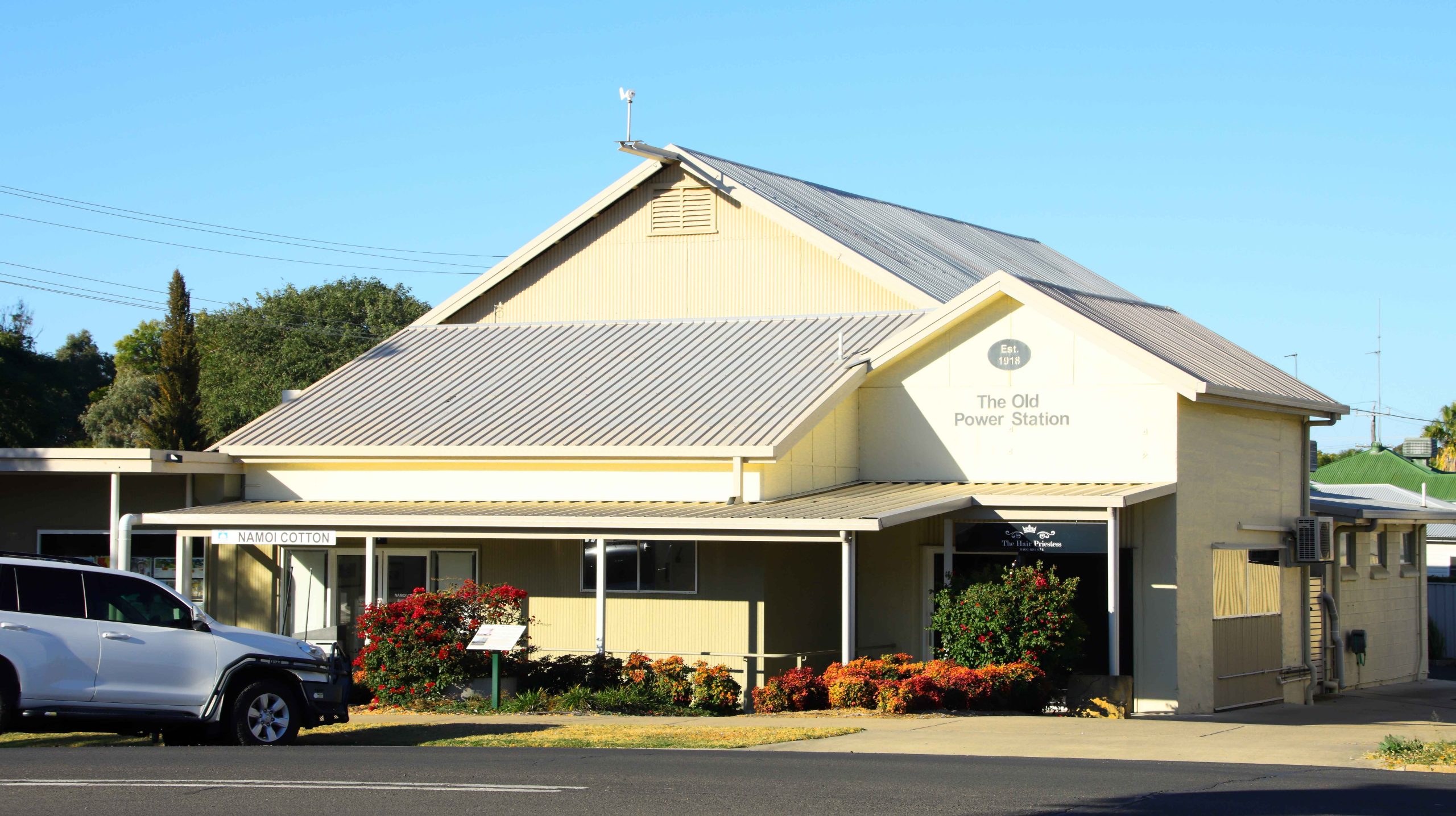
Old Power Station, Goondiwindi
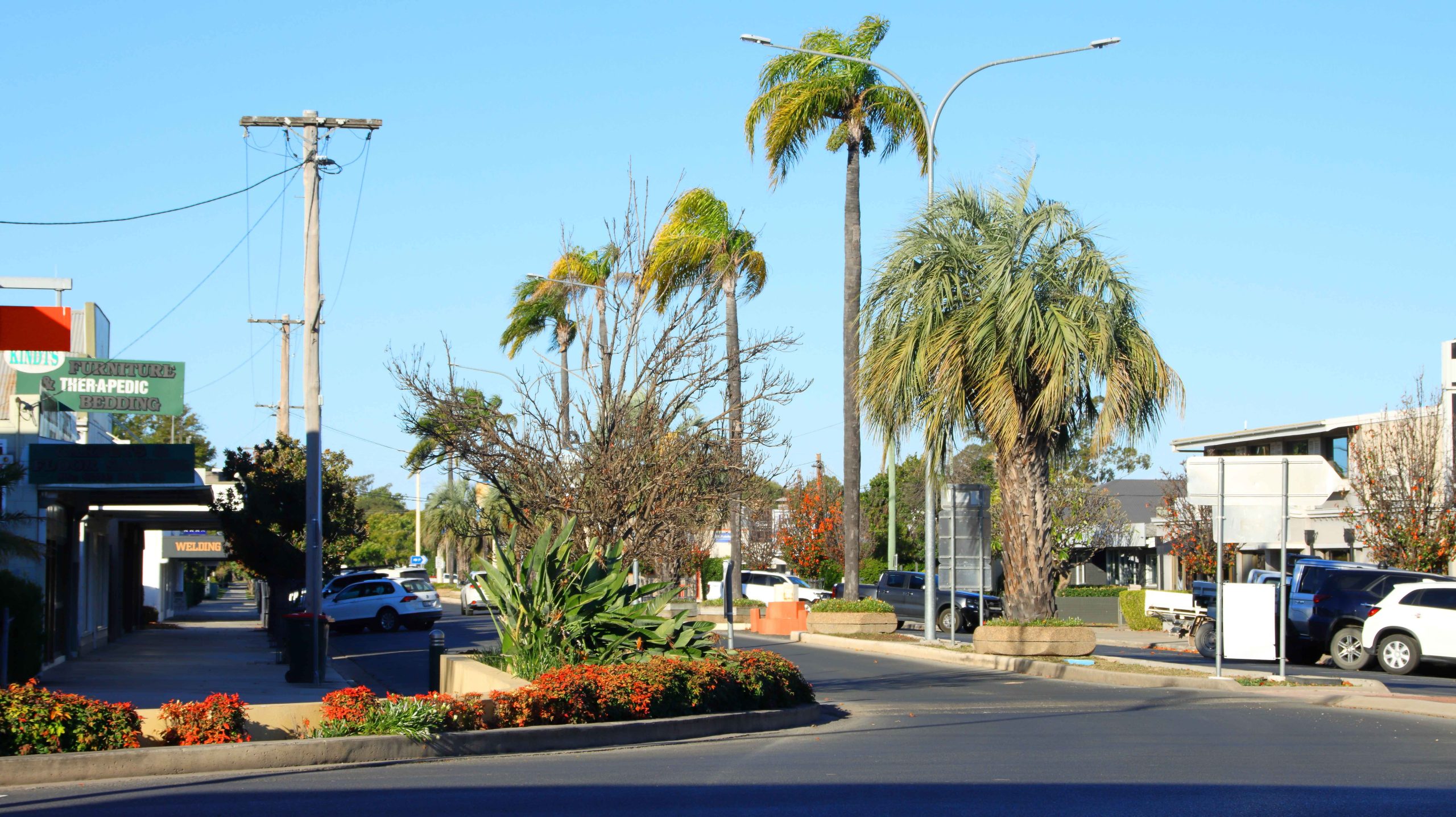
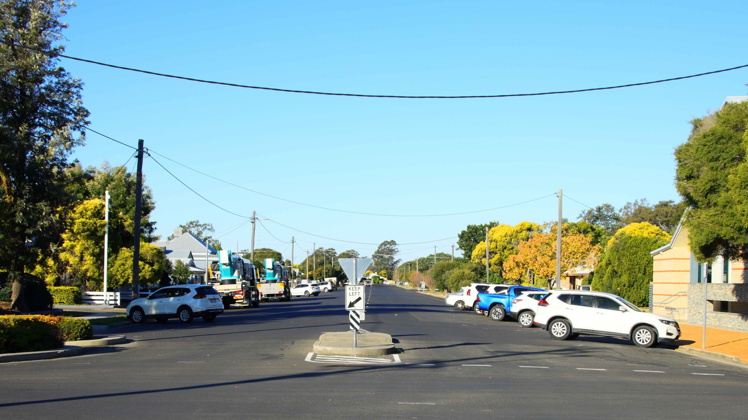
Street Scene. Goondiwindi CBD.
Goondiwindi Main Street.
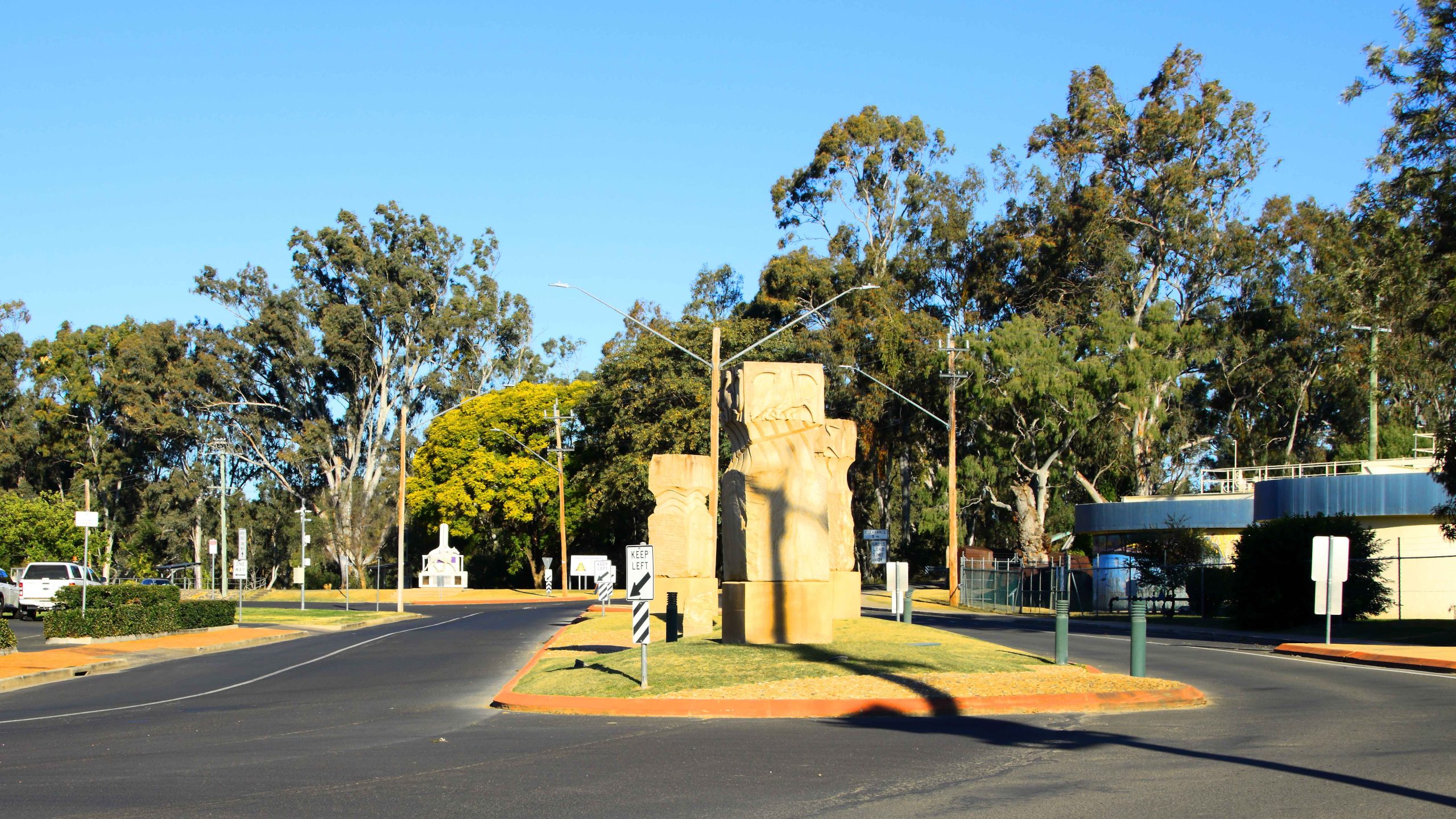
Sandstone Sculpture, Goondiwindi.
Museum, Goondiwindi
Riverside Walk, Goondiwindi
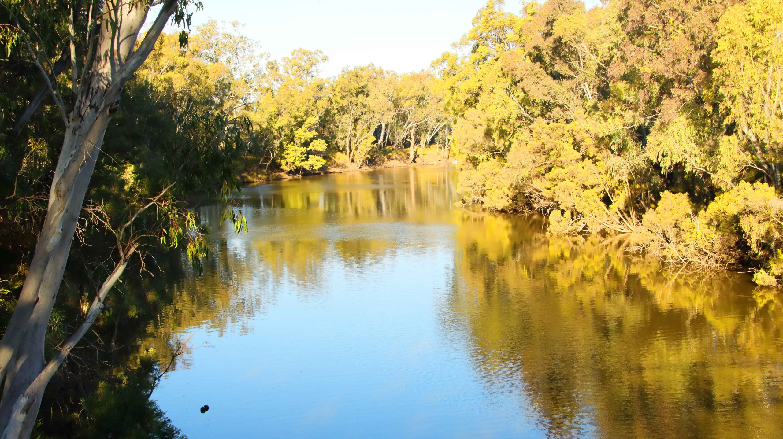
Macintyre River, Goondiwindi
Macintyre River, Goondiwindi
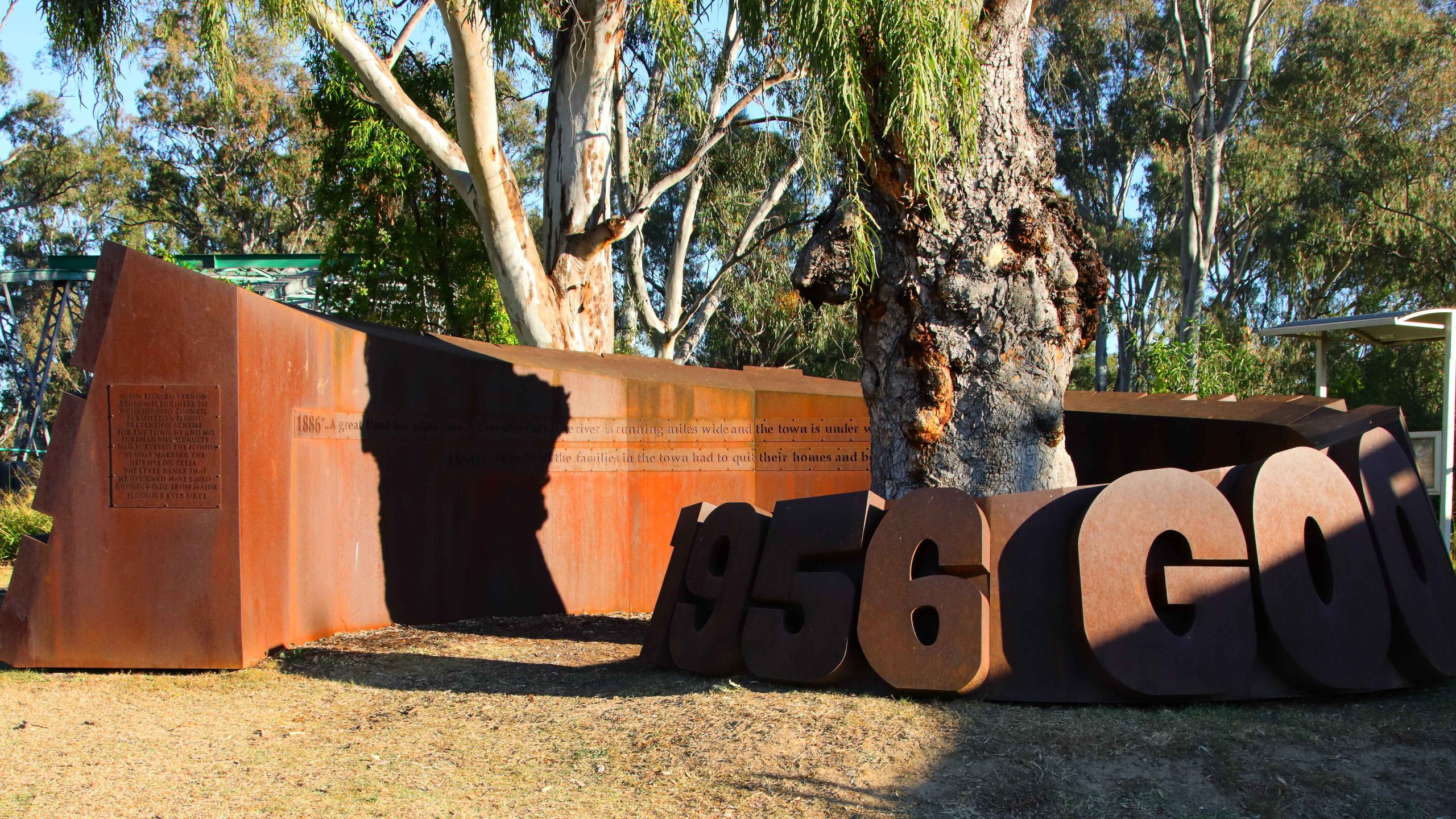
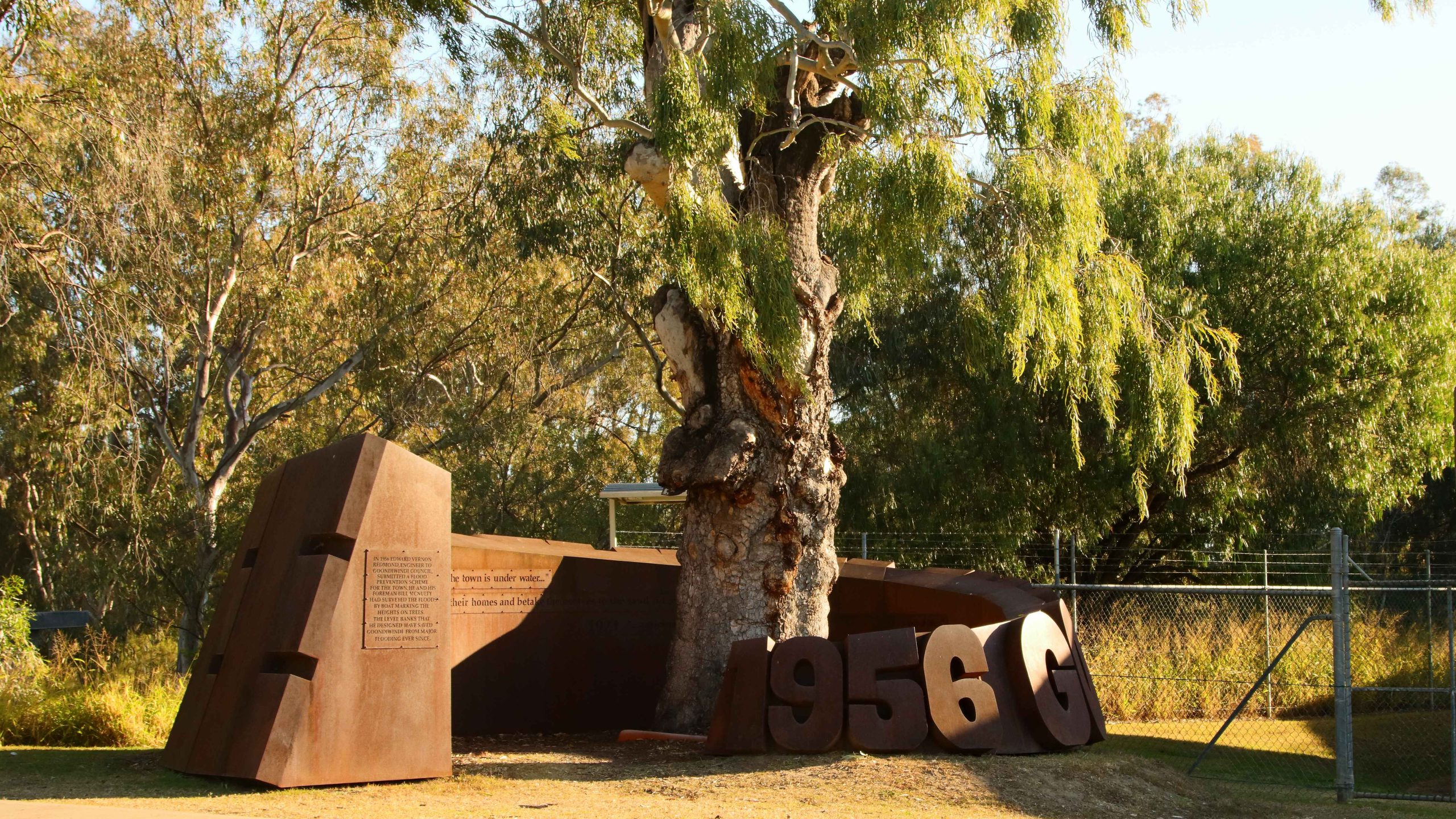
Flood Memorial, Goondiwindi
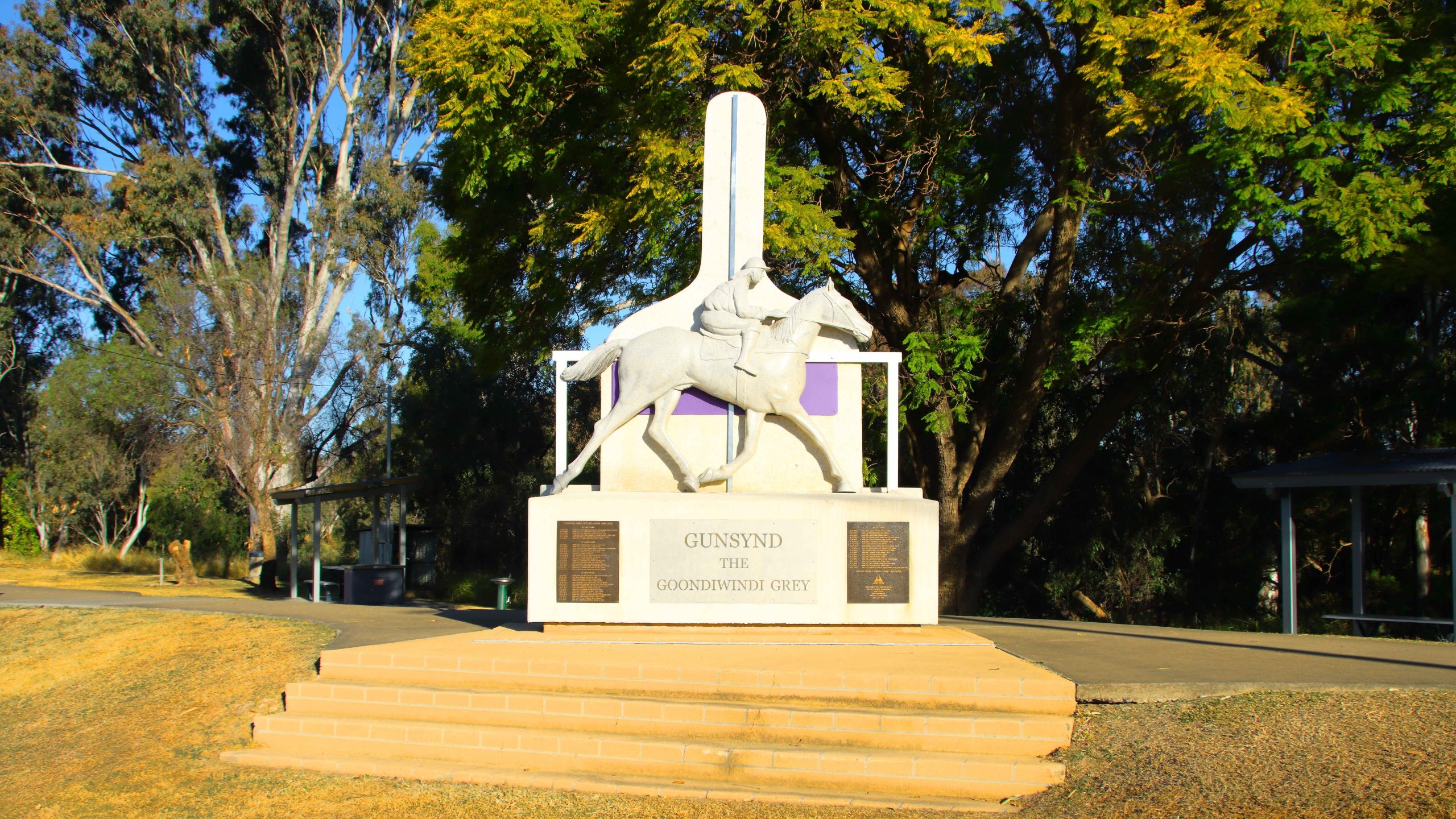
Memorial to Champion Racehorse “Gunsynd the Goondiwindi Grey”
Macintyre River, Goondiwindi.
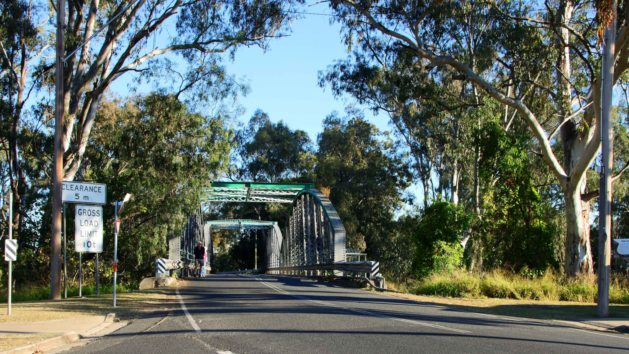
The Original Bridge over the Macintyre River into New South Wales.
Memorial to Record Flood on the Macintyre River.
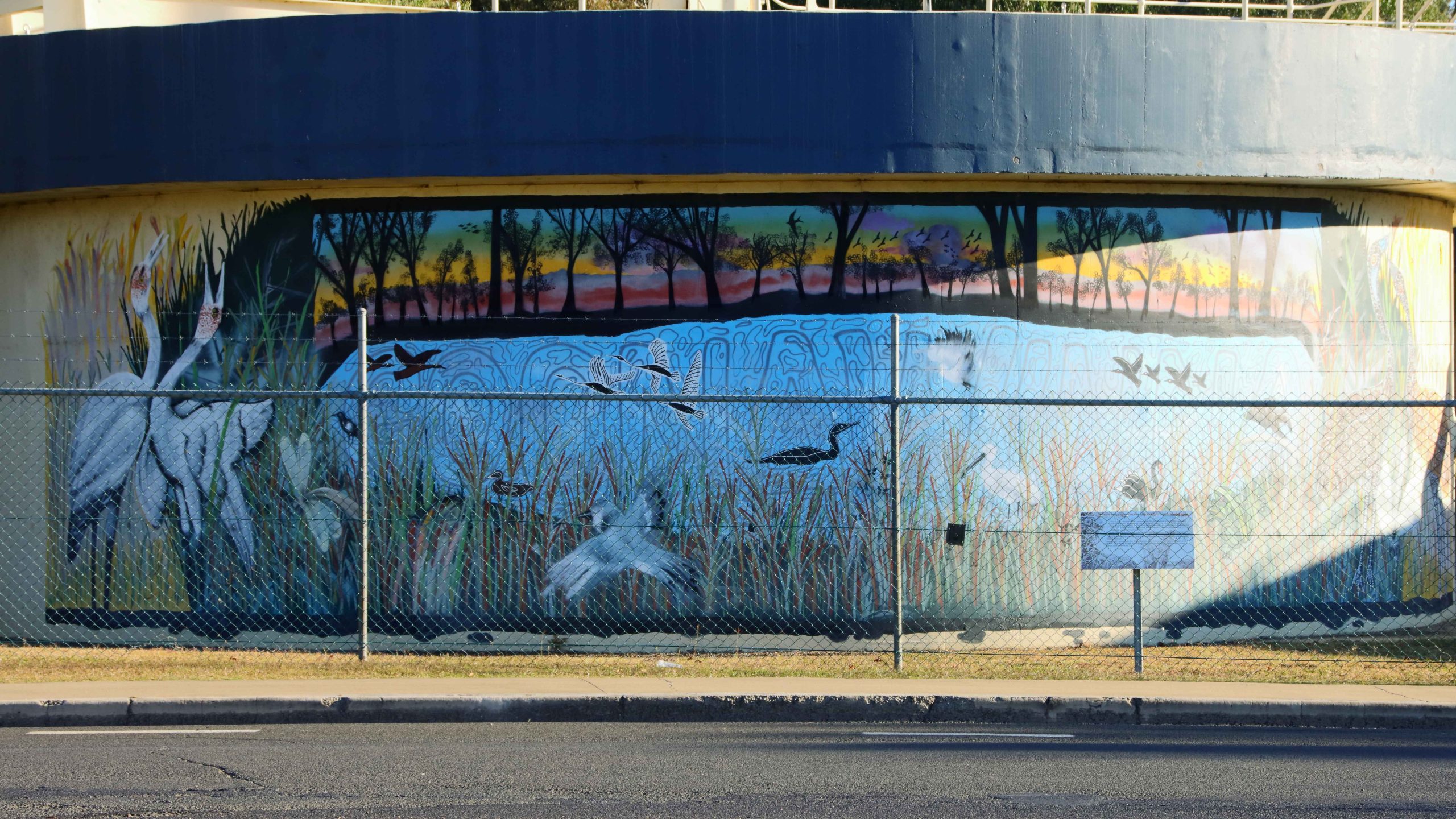
A Mural on Water Settlement Tanks at the Goondiwindi Water Treatment Plant.
In our caravanning days, one rule was that we avoided the south east of Australia during the colder months. Anywhere, south of Brisbane was out of bounds.
The Goondiwindi water pressure tower was near to our motel.
So our decision to visit my siblings in Gippsland was taken with much thought, but finally decided on reluctantly. We have been gone from being residents of Melbourne for more than forty years, so we do not like cold weather at all.
But my one and only sister has recently been moved into care and seemed to be making hard work of it, so we decided to make the trip south. For additional incentive our plans included a call on Ruth’s debilitated younger brother at Bowral in the NSW Southern Highlands and to catch up with our younger daughter in Sydney, but only for dinner.
We set off on 1st July via the Warrego Highway and the Toowoomba Bypass, stopping in for lunch at Millmerran. Shortly after getting back on the road, we were held up by a tourist having laid their caravan on its side on the shoulder of the road. Problem free from there on. The Gore Highway had been improved since we last used it. Busy too, with trucks and caravans, mostly going towards Toowoomba.
Part of the Goondiwindi CBD
This bridge over the Macintyre River leads to NSW and used to be the main crossing between the two states.
A memorial on the bank of the Macintyre to champion racehorse Gunsynd, known as “THe Goondiwindi Grey”.
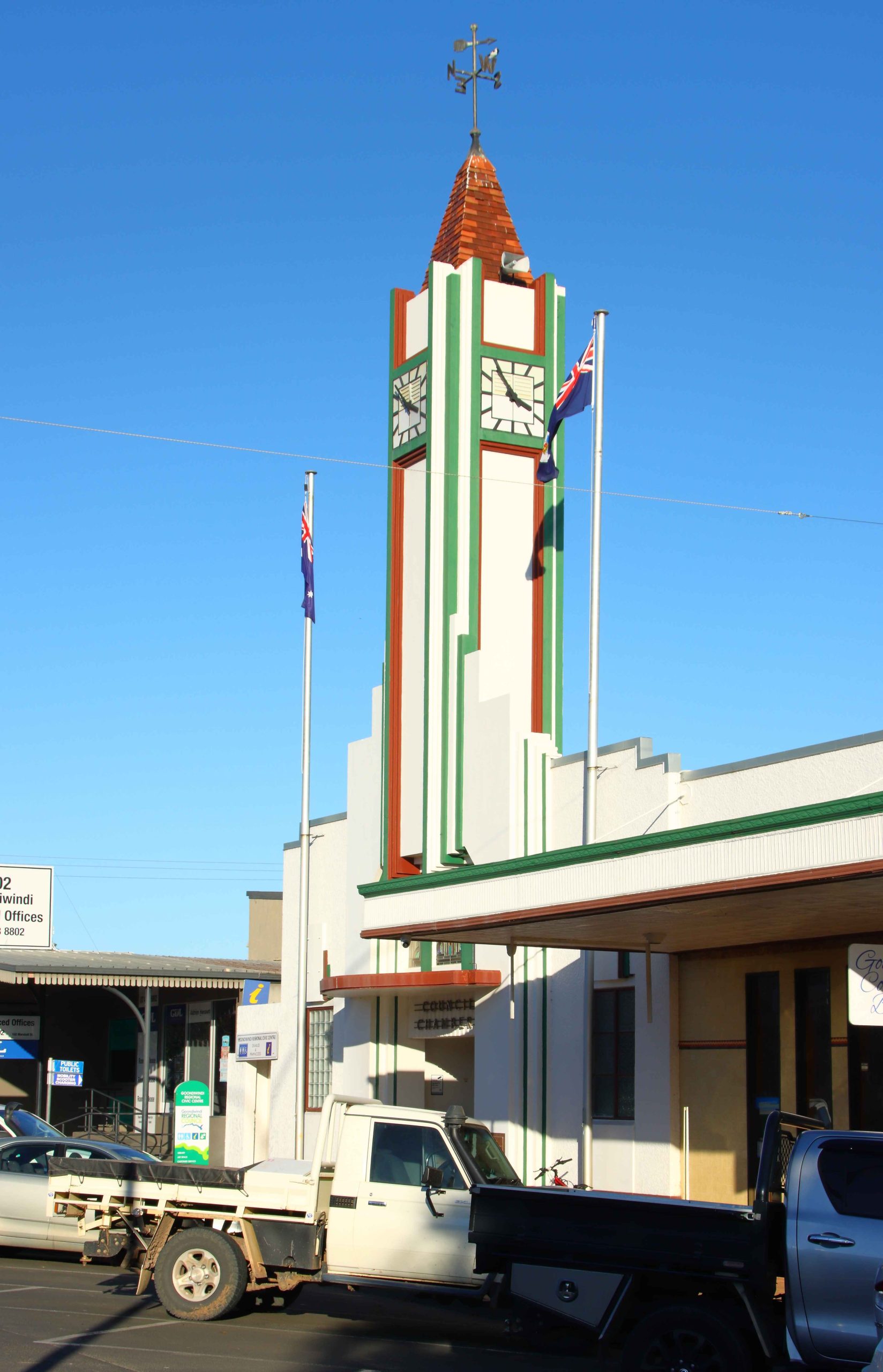
Goondiwindi’s main street clock tower.
A mid-afternoon arrival at our Goondiwindi accommodation. The timing allowed me to do an afternoon walk with my camera, through the central town area and to explore the area near the Macintyre River. Goondiwindi is a substantial town with a population of around ten thousand people.
Day two was a run along the Newell Highway with the overnight stop at Coonabarabran. By the time that we booked into our motel the evening chill had set in, so I squibbed on a walk and stayed inside in the warm motel room instead.
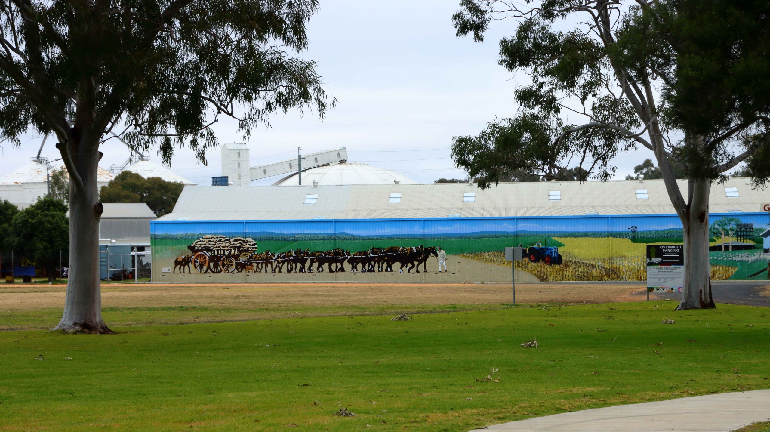
As a concession to advancing age we had broken the trip into shorter daily distances. Our third night was at West Wyalong. We took a break in Gilgandra at the historic Coo-ee Heritage and Information Centre, built to commemorate the start of the famous World War 1 recruiting march that commenced in Gilgandra and concluded at the recruiting office in Sydney. Lunch at Parkes, shopping at Forbes and the night at West Wyalong.
The Coo-ee Heritage and Information Centre at Gilgandra.
A muraL at the Coo-ee Centre almost appears to be part of the landscape.
The Edwards River at Deniliquin.
Day four took us further along the Newell Highway until we reached Jerilderie, where we turned left to reach the Cobb Highway at Deniliquin. This town, famous for its annual Utility muster, is on the Edwards River, a tributary of the Murray. Here we were introduced to paddle wheel steamer country, with examples of these historic craft and shallow draft houseboats, moored to the bank or aground on the bank of the river.
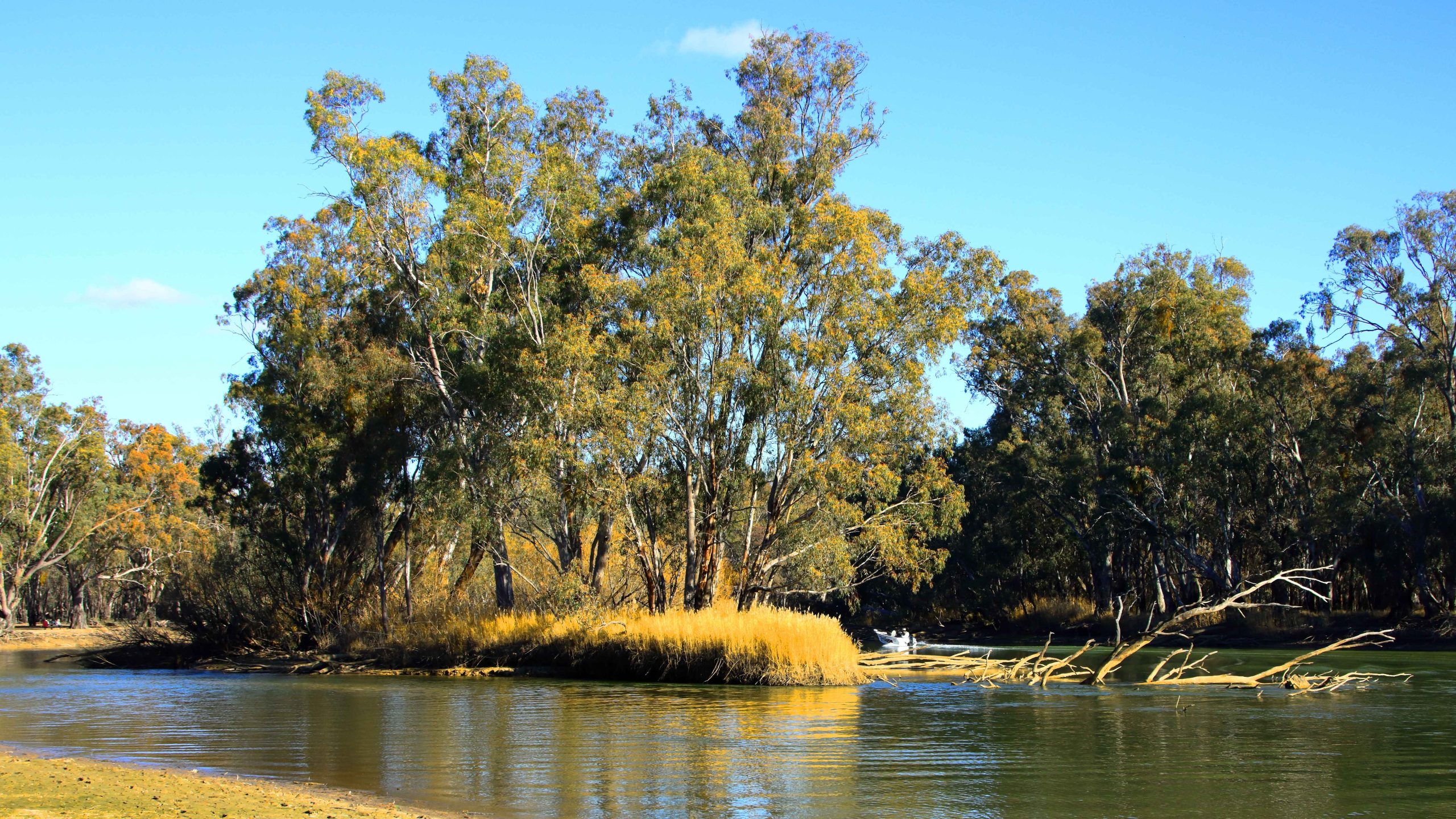
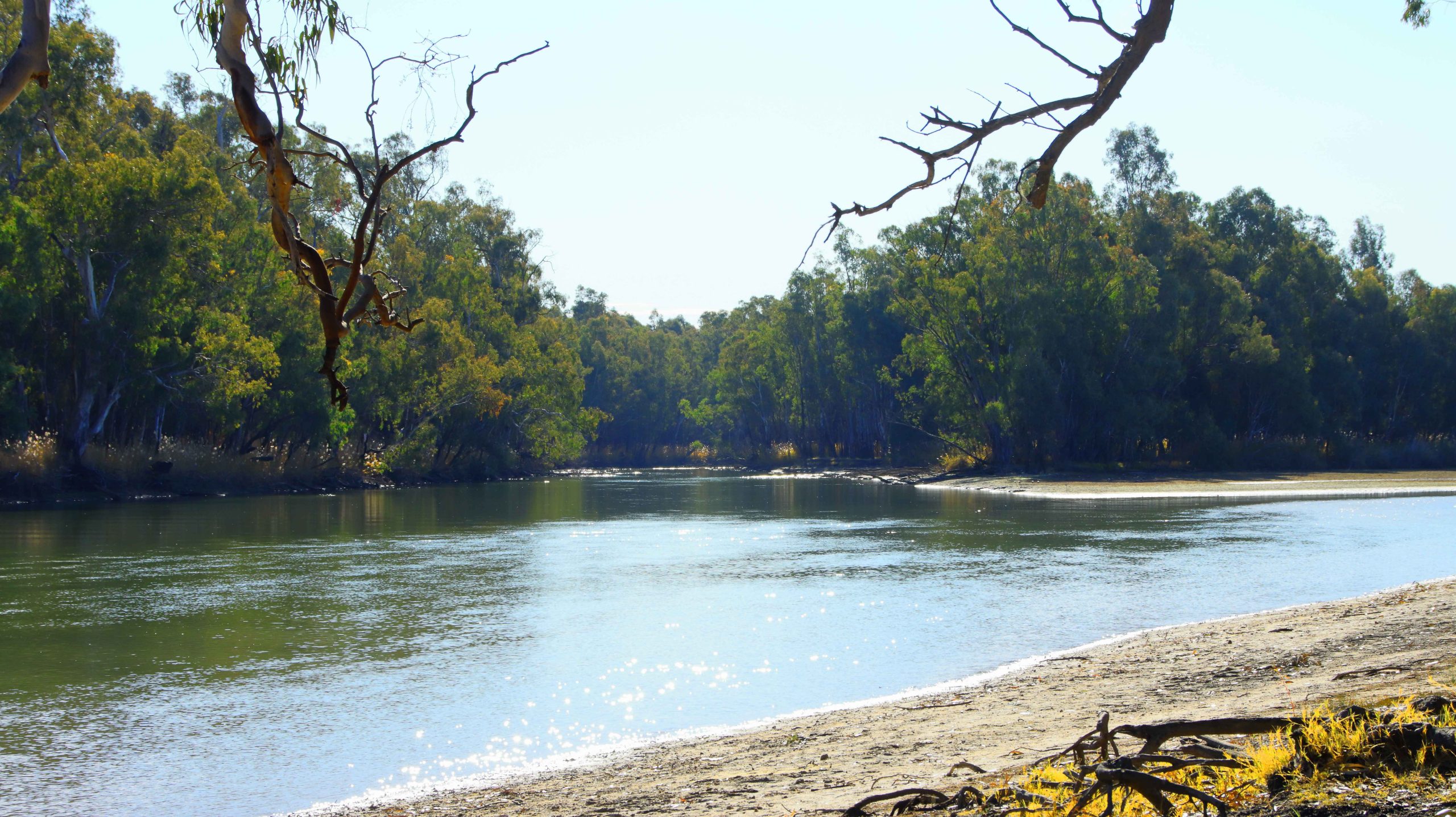
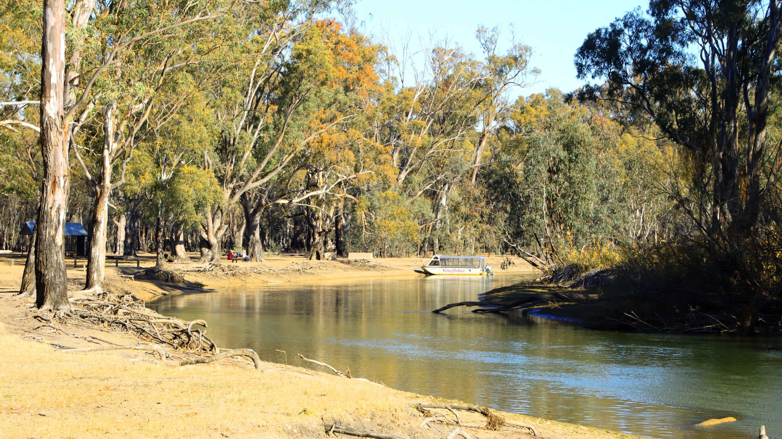
With time in hand, we decided to turn into the Barmah National Park, a lake and flood plain area on the Murray, not far from Echuca. It was on our list to visit so the call today saved us returning the next day. It is only about 20 km off the Cobb Highway.
The Deniliquin Ute Muster is held in the town annually.
Cruises of the lakes at Barmah National Park are available.
The Murray River at Barmah National Park.
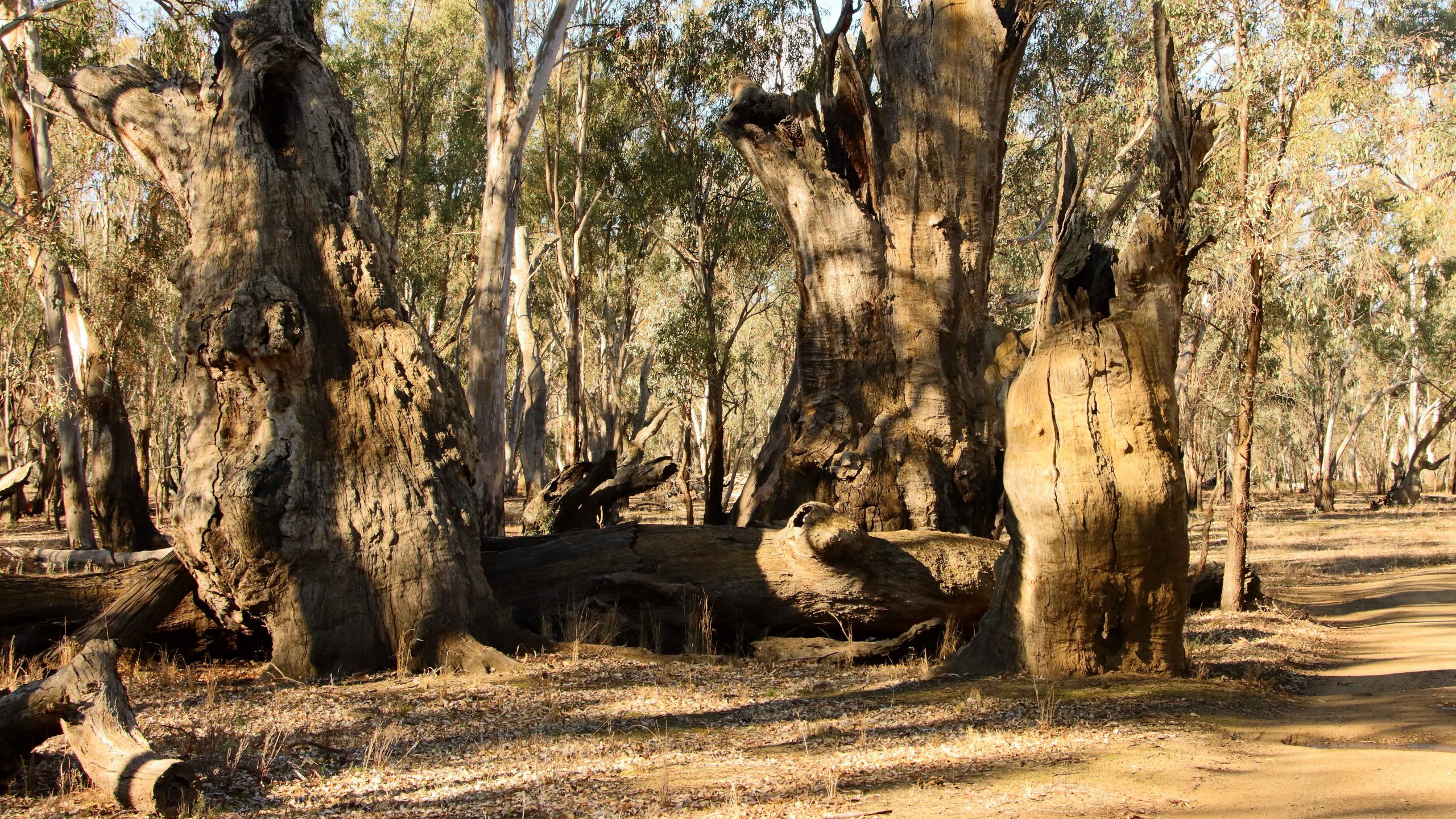
Remains of River Gun giants of the past.
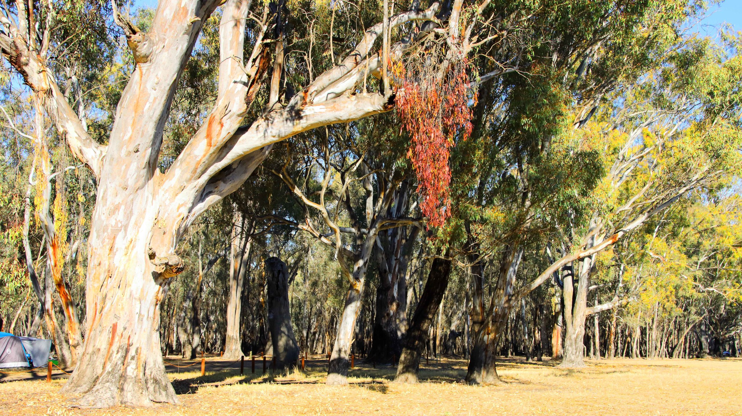
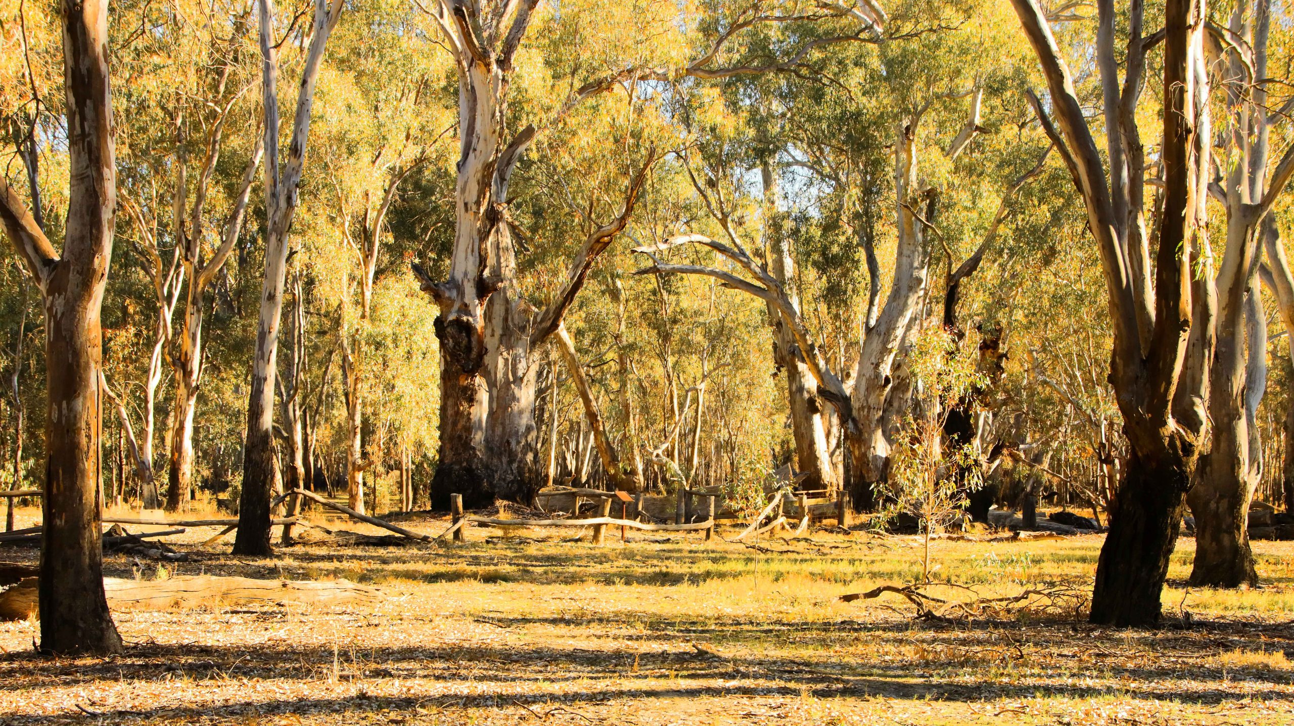
Barmah is a popular area and offers visitor facilities including a cruise boat for tours of the lake. Campers have ready access to a launching ramp near the camping ground and several hundred meters of shore at which boats can be moored. The entire public area is flood plain and evidence of flooding is everywhere. The forest is dotted with huge river gums, most still standing but some have succumbed to the rigors of nature and are slowly crumbling back to vegetable matter. It is worth a visit if you are in the area.
We reached the sizeable town of Moama, on the northern shore of the Murray, in good time and took the new concrete bridge, opened in 2024, over the river, to our hotel on the edge of the CBD. I had time for a camera walk before settling for the night. The evening light was very gentle on the historic buildings of the railway station where I took my walk.
Railway freight sheds in the evening light.
Grain Silos by the railway line that runs on into NWS.
The Caledonian Hotel-Motel, our residence in Echuca
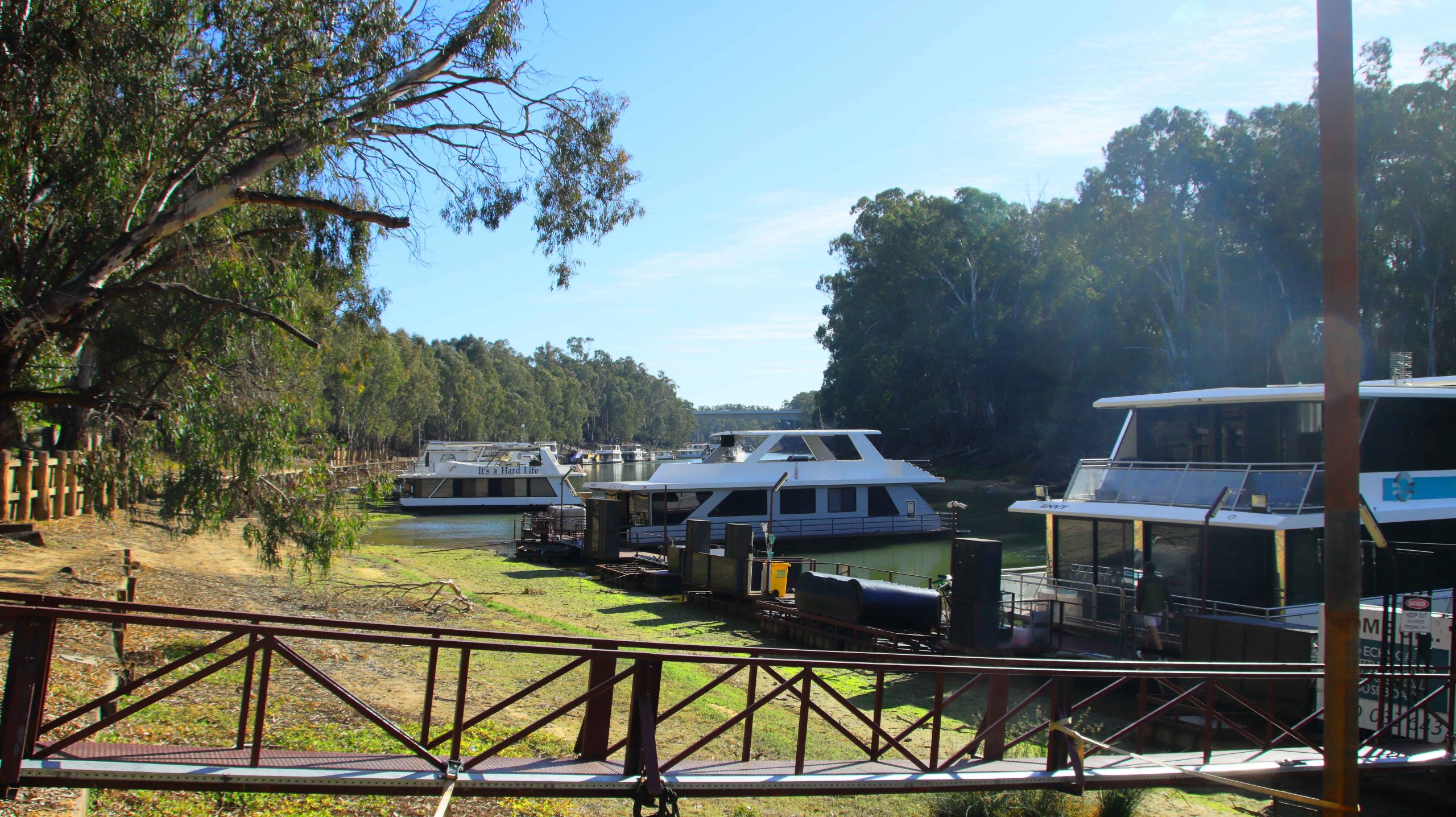
Houseboats moored to the Victorian bank of the Murray River.
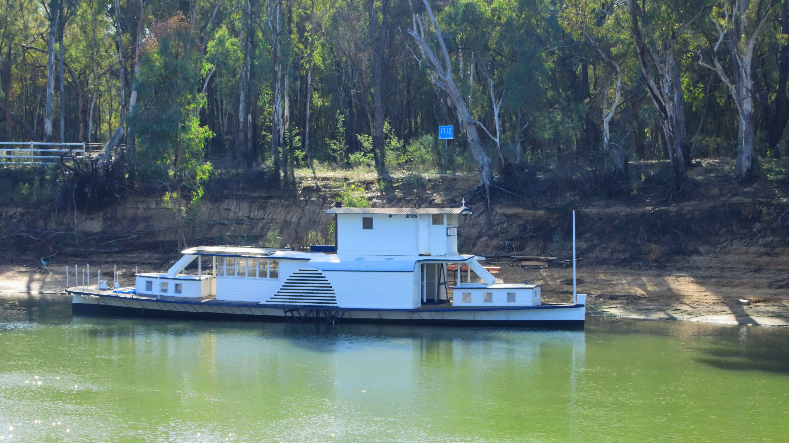
A paddlewheel houseboat
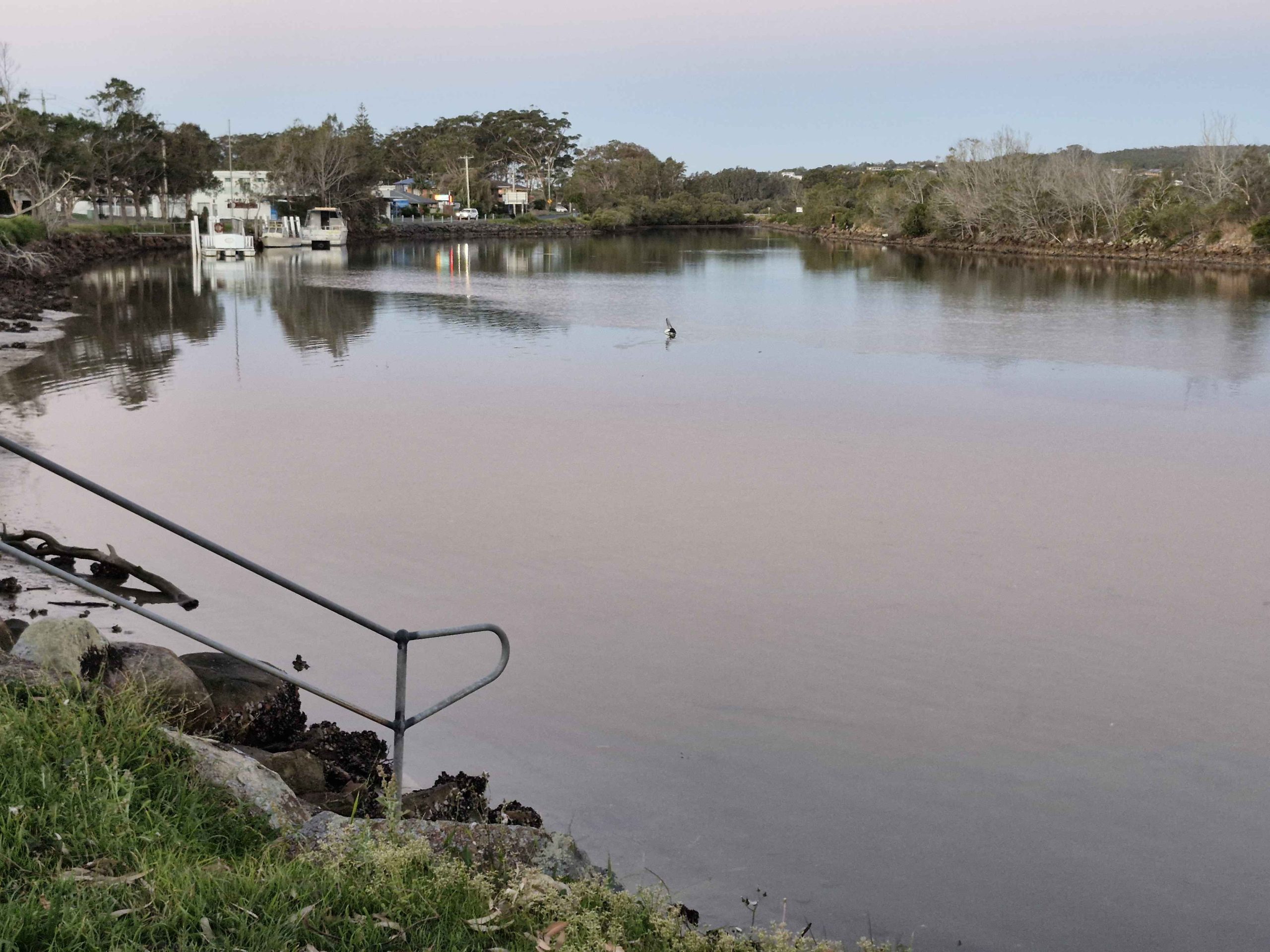
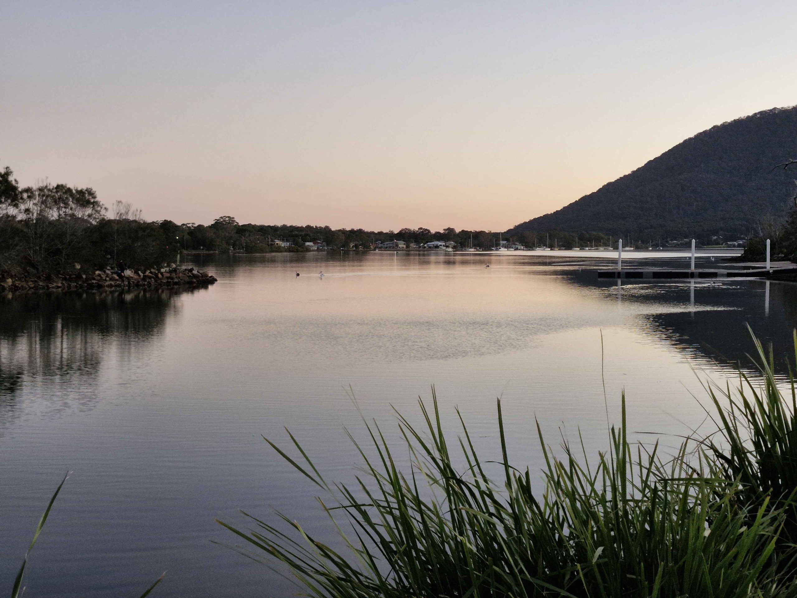
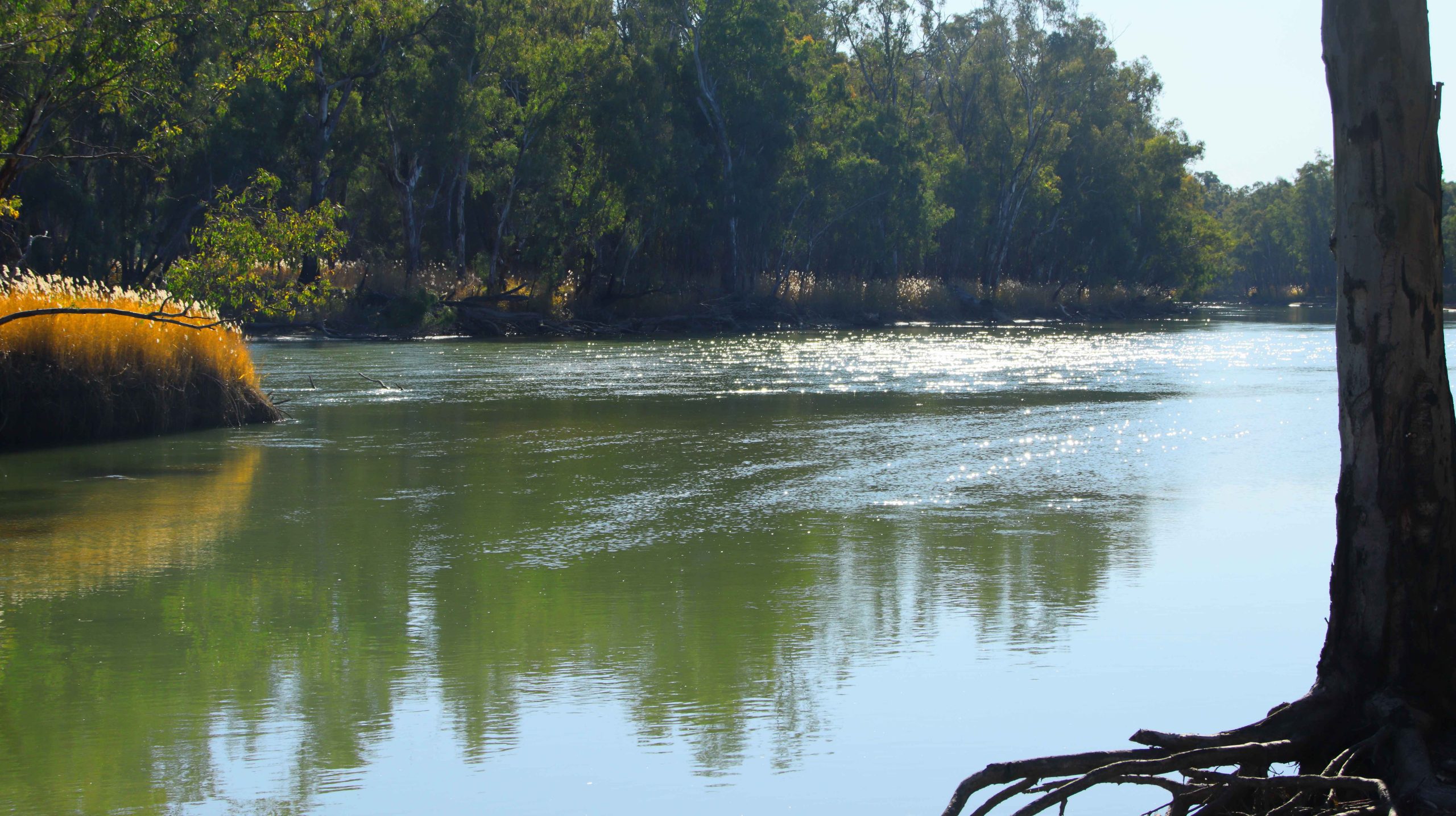
On Saturday morning, day six, we set out initially to find the location of our cruise paddle wheeler. Boating activity is centered on the old port area where the famous high-level wharf, so often seen in photos of the port, is to be found. Two boats were providing paddle wheeler rides, PS Pevensey, which was operating from the old wharf, and PS Canberra that was working from a floating dock a little further down-stream. Both boats were using the same section of the river, virtually taking turns in using the narrow strip of river provided by the low water levels currently in the Murray. The Darling River has had a boost from rains in Queensland but the catchment area for the Murray has received much less rain. It will get a boost from snow melt at the end of winter.
Having located the boarding place, we then went to find the mouth where the Campaspe River joins the Murray. Sadly the road in was only passable to four-wheel drive vehicles. It was a bit too far to walk.
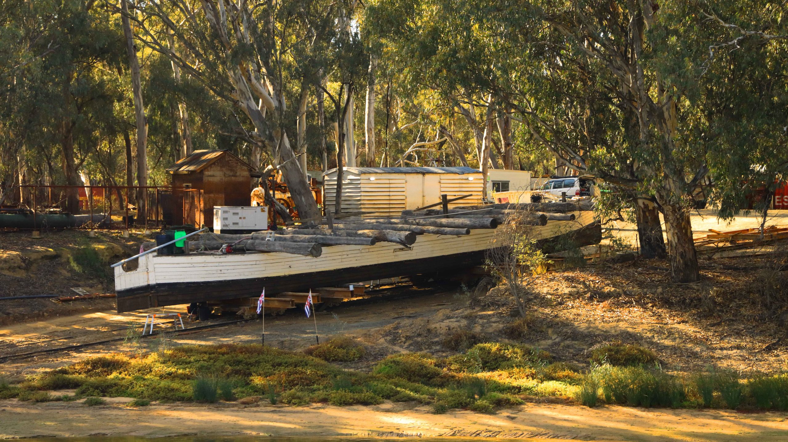
The PS Pevensey, one of the oldest boats on the river.
Houseboats moored near the old river crossing at Echuca
The port precinct is the centre of tourist activity.
High Street, Echuca
We returned to our unit for an early lunch, to make sure that we were in time for boarding at 1.15 PM. During our morning reconnoiter we had established that Ruth would not be able to board, due to the steep angle of the boarding ramp. So we found a parking space that overlooked the boarding area. That was the best that we could do. Mobility limits can be challenging and lead to disappointment at times.
The Old Mill is now home to a restaurant of that name
Echuca’s Old Town Hall.
The cruise lasted an hour. We proceeded up stream to look at the historic wharf structure from the water. Then we turned down stream to retrace our course and paddle our way for about three kilometres. The scenery was mainly exposed river banks and rows of houseboats. Renting a houseboats is one of the things that tourists do when they visit Echuca. But many boats are privately owned. Some of those were in use, with owners basking in the afternoon sun, sheltered from the wind by the banks of the river.
PS Canberra, pictured at the start of this blog, was launched in Mildura in 1913 as a single deck fishing boat. There was a change of ownership, a second deck added and she became a river cruise boat. Canberra was moved to Echuca in 1966 and has remained there ever since.
I shot video during the cruise. Here it is in edited form.
Rain came in over night and produced intermittent showers for the first hour or so of our trip south to Melbourne and then Warragul. Traffic increased as we approached Seymour and stayed with us much of the way to and beyond Melbourne. The rain did not follow us into Gippsland but the weather was cool for our arrival. We booked into our accommodation and called my sister and my brother to announce our arrival and make arrangements to meet the next day.
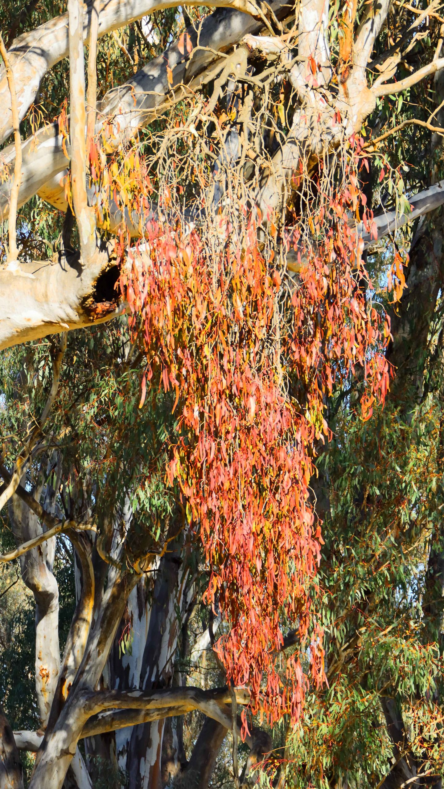
A huge mistletoe on a River Red Gum at Barmah National Park
When away from home, conveniences that you take for granted are just not there. Our motel room was too small to spend much time with four adults in it, so we opted for lunch at a shopping centre where we could escape the cold wind, get coffee (tea for Bernard) and food and talk in some degree of comfort.
I should ad that we had been joined by my youngest brother Bernard, who lives on his farm outside of Drouin, and has done for most of his life. We had collected him in Drouin on our way through.
We had headed back towards Melbourne to the Westfield Fountain Gate centre at Narre Warren. This part of Melbourne we know well, but it is so changed. Ruth and I rented a flat near the railway station at Narre Warren about sixty years ago. It was our third home. Our move there had occurred as a consequence of me changing my job from Drouin to North Clayton. We had taken the first step towards becoming city dwellers.
We found a corner table in a food court. But it was a battle, as we were in the middle of Victorian school holidays. But we found shelter and sustenance, so had a good discussion before returning to Warragul and returning Aileen to her residence.
The next day we were joined by my sister-in-law Helen, widow of my younger brother Winston. I had four siblings, three brothers and a sister. Sister was youngest in the family. My elder and younger brothers passed away over recent years, as did my brother-in-law, leaving my only sister a widow.
Round Island off The Nobbies with the ramp to sea level in the foreground.
We collected Aileen and drove to Bernard’s farm where we moved into his larger car. Helen met us along the way. She is like Bernard, a retiring farmer. By retiring I mean that they have both ceased dairy farming and now raise beef as they wind down their level of productive involvement. Even farmers have to give up work some time.
A quick photo at Nobbies Lookout with Round Island in the top left hand corner. From left Aileen, Bernard and Helen. Ruth was smart and stayed in the car.
Our first stop for the day was San Remo. Talk about bleak weather. Even the life long Victorians were trying to avoid it. We gave up on fish and chips for lunch, got back into our cars and crossed the bridge into Phillip Island, continuing to Cowes, where we found a parking space in front of a suitable eating establishment. Phillip Island Coffee provided shelter, food and coffee. What more could we ask for?
There really isn’t much to do in Cowes on a cold winter day, but knowing how bleak it would be, we still drove out to The Nobbies and experienced the kind of weather that we had anticipated. Just a quick look and a couple of photos and we were back into the cars.
We took a longer way back to Warragul, following the Bass Highway to Wanthaggi where we stopped for coffee and comfort. We then followed the most logical way back to Ripplebrook, the location of Bernard’s farm. Then back to Warragul to deliver Aileen before returning to our motel and turning on the heater.
Standing behind Ruth, from the left, Helen, Bernard, Me, Cousin Kelvin and Aileen.
Wednesday was our last day. Ruth and I joined Aileen for very leisurely coffee at the coffee shop at her residence. We then moved on to The Warragul golf club restaurant where we met again with Helen and Bernard, plus a cousin, Kelvin Sheather, who also lives in the area.
We normally use the golf club for family catch ups and have been doing so for several years. It provides all the facilities that we need for lunch plus a lounge area where we can spend extended time in each other’s company. We went for a bit of a drive around the newer parts of Warragul before saying our farewells to my little sister.
The arcade where the gas company office was located is to the right. The main change since our time there, is the glass roof.
Warragul has grown and matured since our departure. I know its streets intermittently because for about four years I tramped them once a month, reading gas metres, as part of my clerical employment, by first The Colonial Gas Association and later The Gas & Fuel Corporation of Victoria, after a company take over. The office is still there after about sixty five years but is now a coffee shop.
Thursday morning and time to head on back towards home. Catchups planned for Bowral, Sydney and Toronto.
We both felt a bit under the weather from the start. We had developed coughs and congested airways. We didn’t think we had the dreaded Covid, as part of checking into Aileen’s accommodation was facial recognition, including a temperature check. Neither of us had elevated temperatures. We stopped at Morwell for Strepsils to ease throats but continued on to Orbost for our first night. The weather was still very cold and windy.
Boats and Oyster beds at Merimbula, NSW.
Next morning, at Eden, we called at a pharmacy for something to suppress Ruth’s cough and came away with three medications. We stopped for lunch at Merimbula but then made a detour to Bermagui to see if we could spot a coastal rock feature known as the Horses Head. We could see no sign of it where I thought it to be, so we moved on to our motel at Moruya.
We were on full health watch as we were now to within twenty-four hours of our next family call, this one with the most critical health aspects attached. We continued up the coast to Wollongong before turning inland to spend the night at Picton, at a motel on the old Hume Highway. We stopped for lunch at Kiama, along with most of the tourists visiting the area south of Sydney that day. Or so it seemed.
During the evening we talked to our family at Bowral and decided that the risk of passing on our ailments was too great. That was a good decision, because on returning home Ruth was diagnosed with influenza, despite having had anti flu injections. Our daughter Briony took a pass on our dinner arrangement. She is busy at work and doesn’t need a dose of the flu.
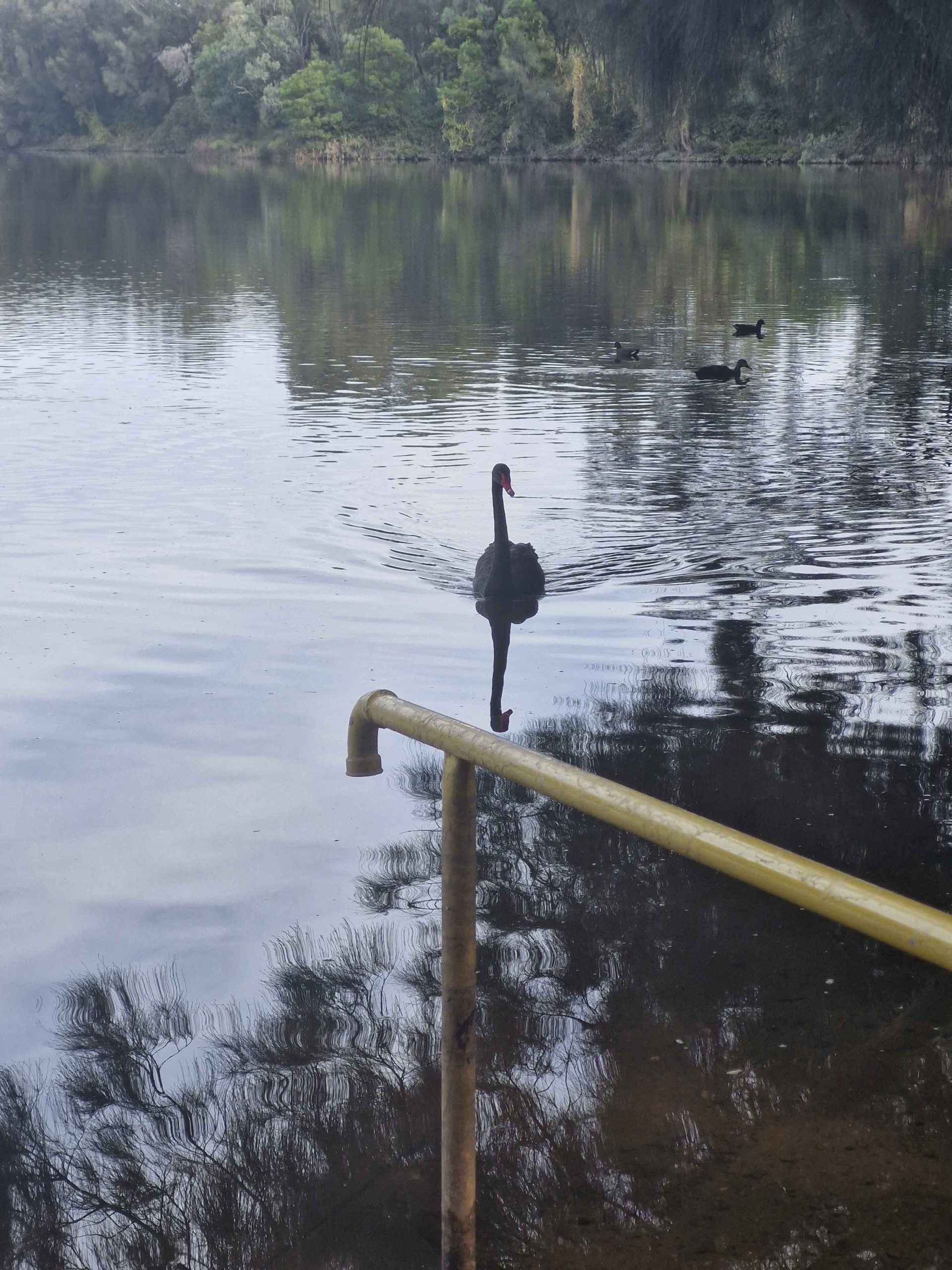
An inquisitive Swan on Georges River, Liverpool
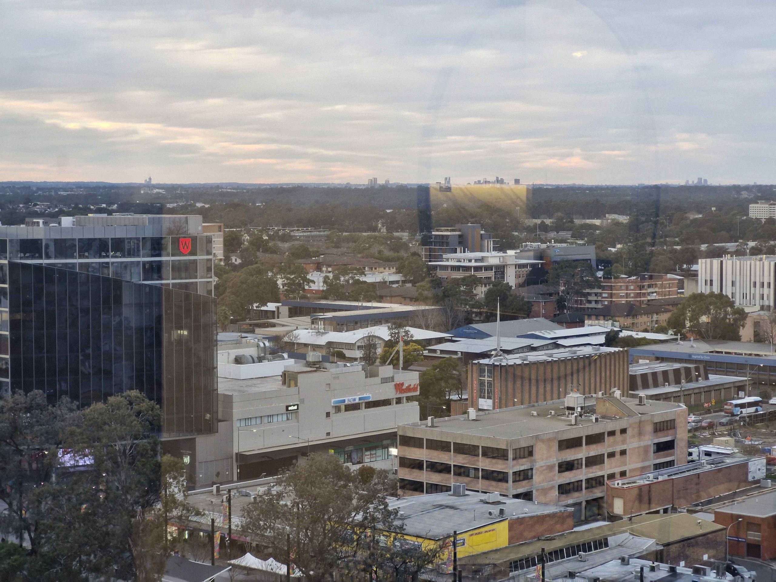
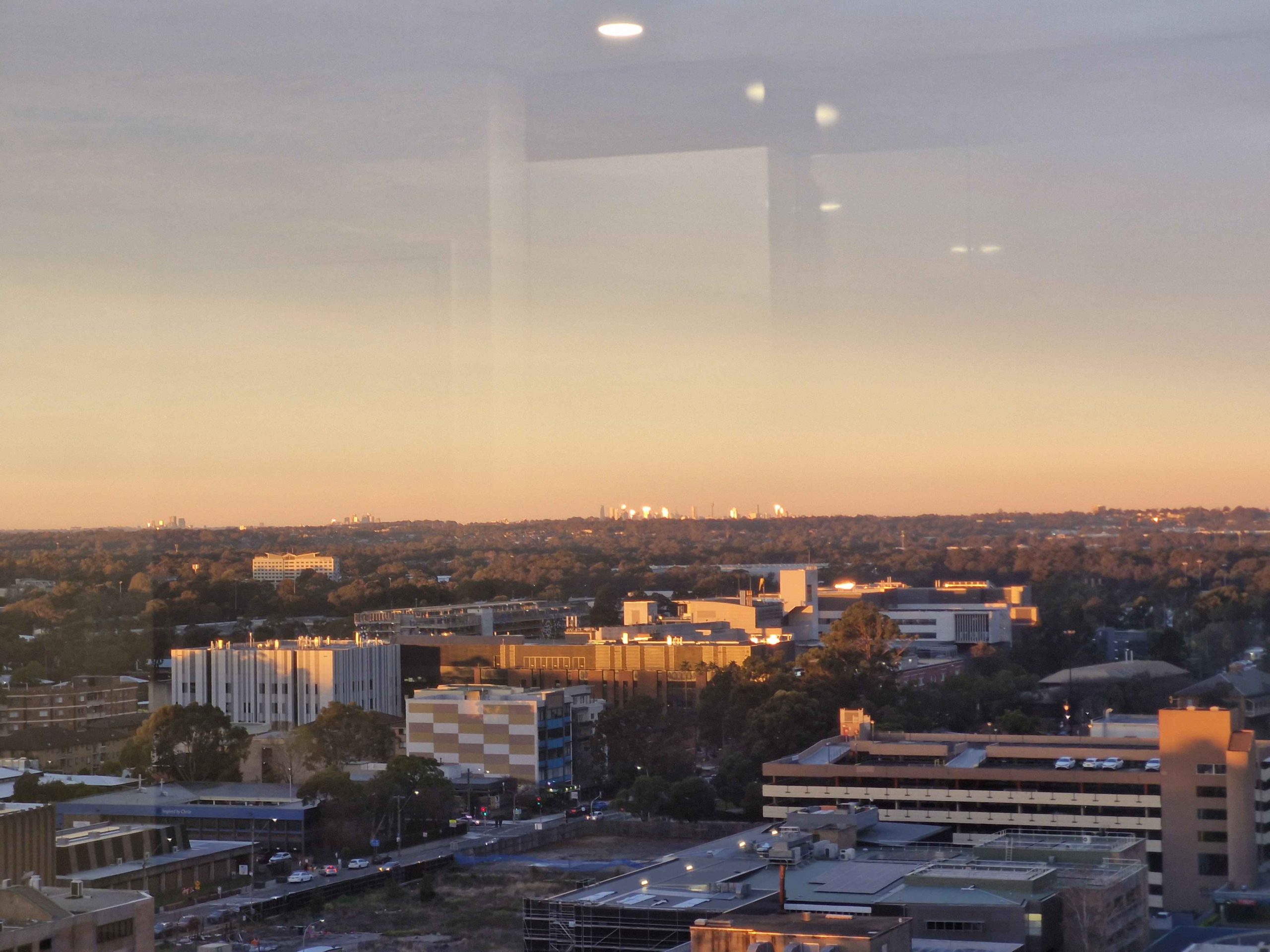
Evening light on Liverpool buildings.
Our Sydney accommodation at Liverpool had been booked and paid for, with a check in time of 2.00 PM. So we found a sunny spot in a park by the Georges River and sat and read. I did a short walk. Then we found a place for lunch and then booked in to our hotel. Our tenth floor room provided views att the way to the City of Sydney particularly as the sun set.
This brought us to Monday morning again, so we made our way through Sydney morning traffic to that strip of adventure known as the Pacific Highway to Newcastle. We were impressed by the progress made on the Raymond Terrace bypass.
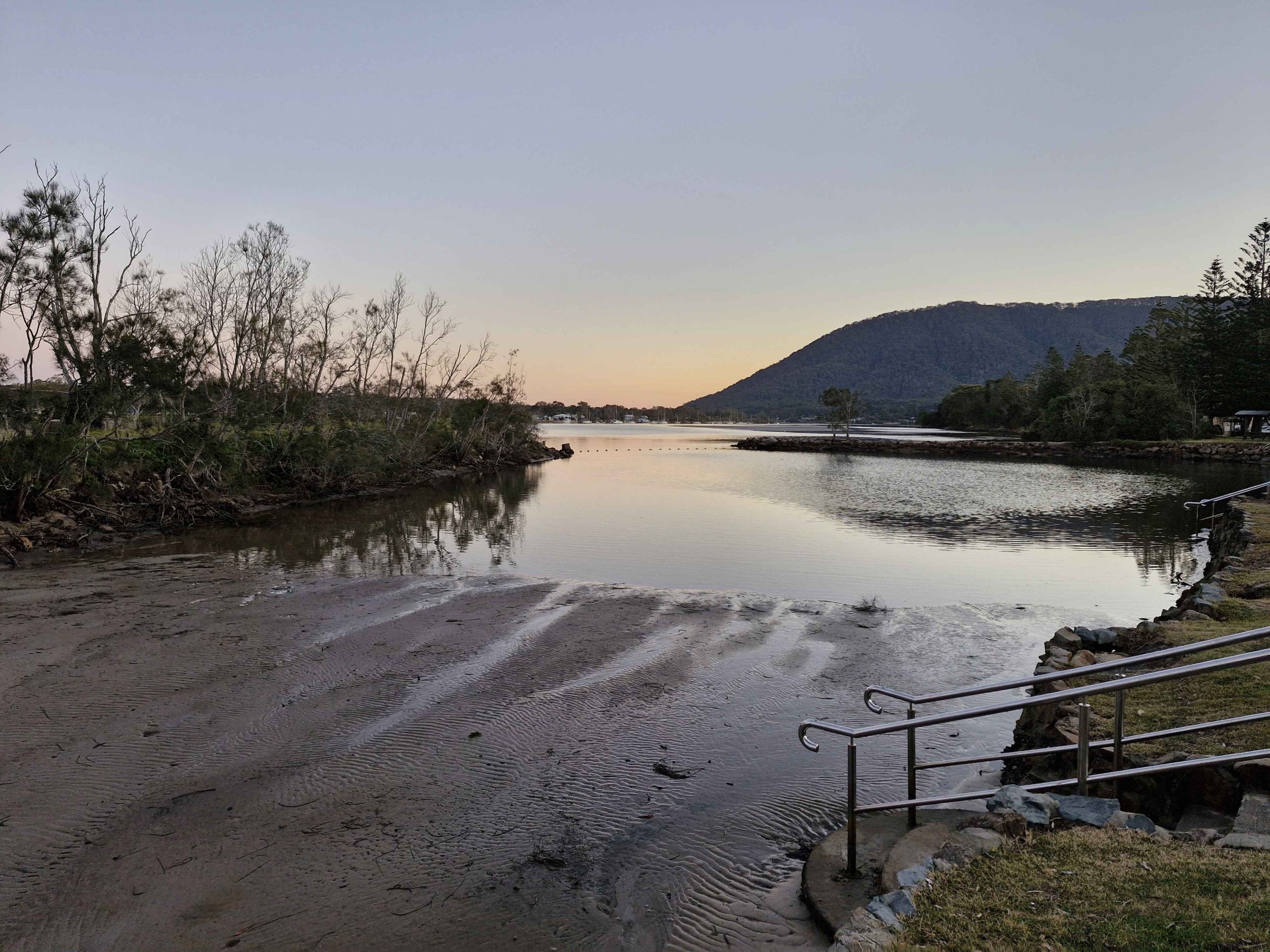
The Camden Haven River at Laurieton NSW.
Our stop was at Laurieton for the night. Chinese takeaway for dinner. We had planned a stop for the following night at Yamba, with a final run home the next day. But we decided to abandon the Yamba booking and drive through. We were again impressed with progress on the Coffs Harbor bypass. It is a bit hard to work out how much longer the construction will take, as so much of it can’t be seen from the existing road.
A clear run to home with only a modest delay on the Gateway Arterial. As we had travelled north the weather had improved, warmer and with less wind. After the first day with a soar throat, my symptoms had disappeared and I felt quite well. Not so Ruth, who coughed and slept her way home.
So, we arrived home on Tuesday and achieved a doctor appointment on Thursday. Ruth was diagnosed with influenza, right on the cusp of phenomena. But she responded well to antibiotics and is now back to near normal.
We felt the trip was worth while, despite the disappointments of the second half. But the experiences did teach us that Melbourne and Gippsland are not a good idea for us in Winter.
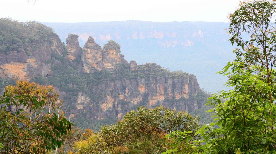
The Three Sisters were a bit further away than yesterday.
Wednesday was a day out of the tourist brochure, but Thursday dawned with total cloud cover. Happily, rain held off until about 3.00 PM. Aileen had had another bad night with her back and needed the services of another chiropractor. She found an appointment in Blackheath at mid-day. That left us with a morning to fill in.
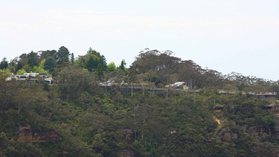
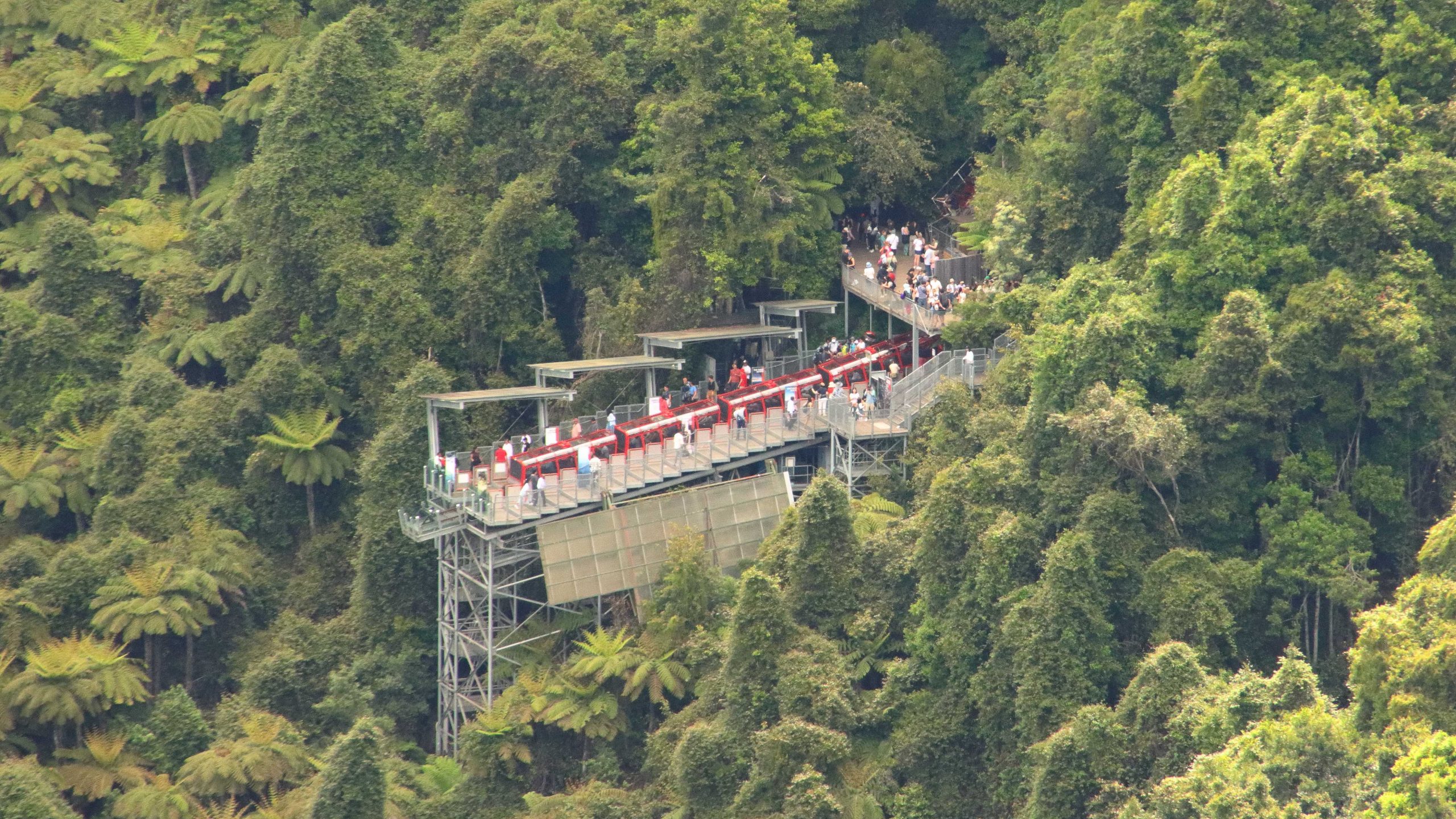
Scenic World is high on the cliff edge.
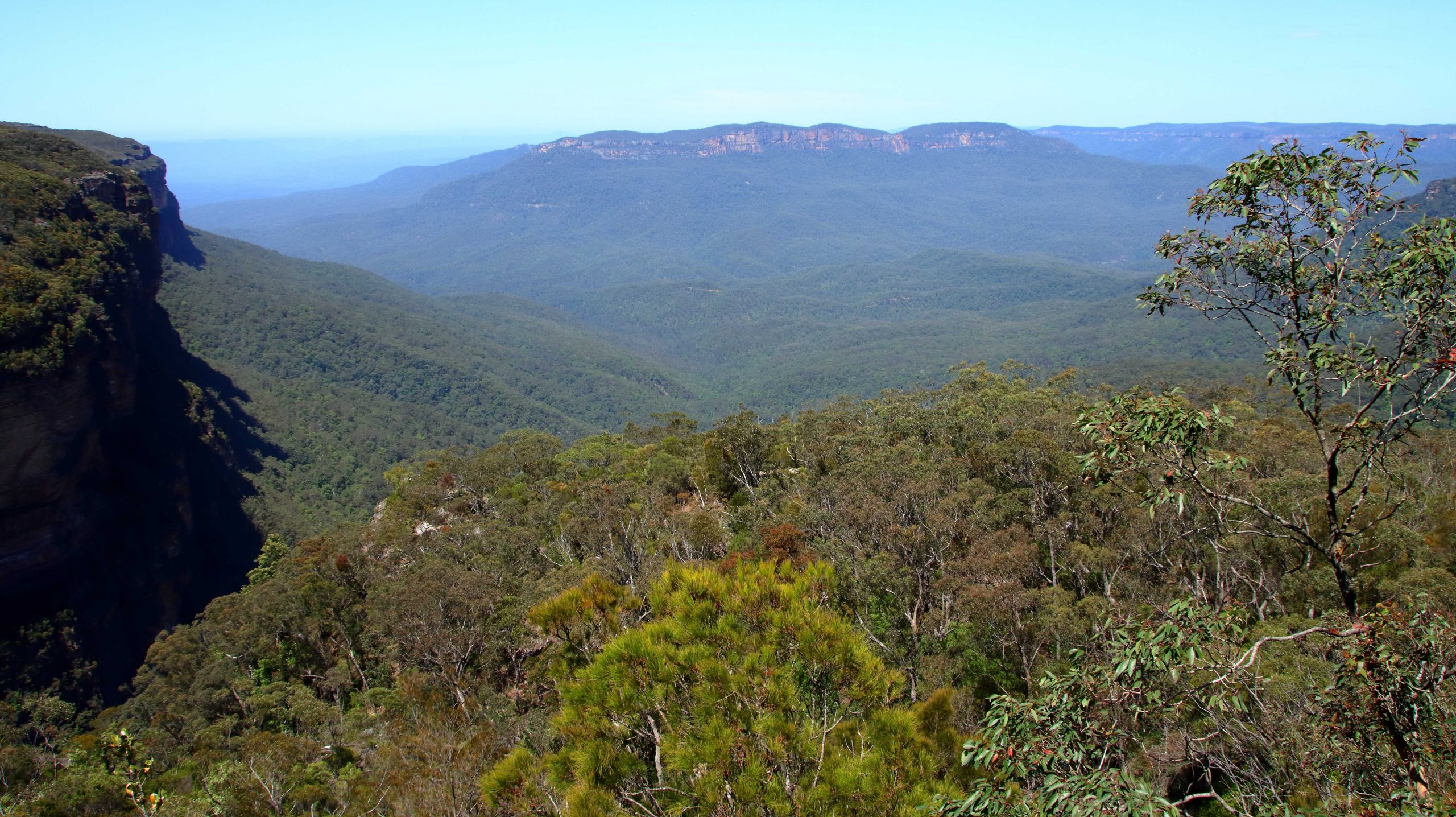
We returned to Katoomba to drive some of the cliff top roads that provide views to the Jameson Valley. It was more of the same from the two previous days, but Blue Mountain scenery can stand some repeats. We stopped at a couple of lookouts, but the heavy cloud meant that the colours were subdued and nowhere near their best.
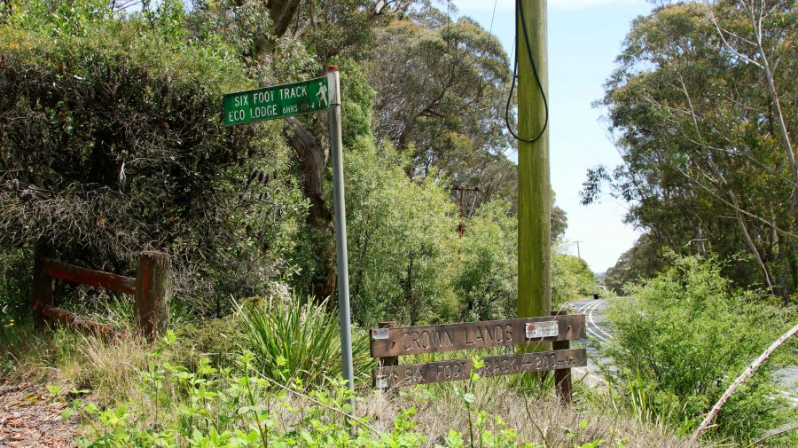
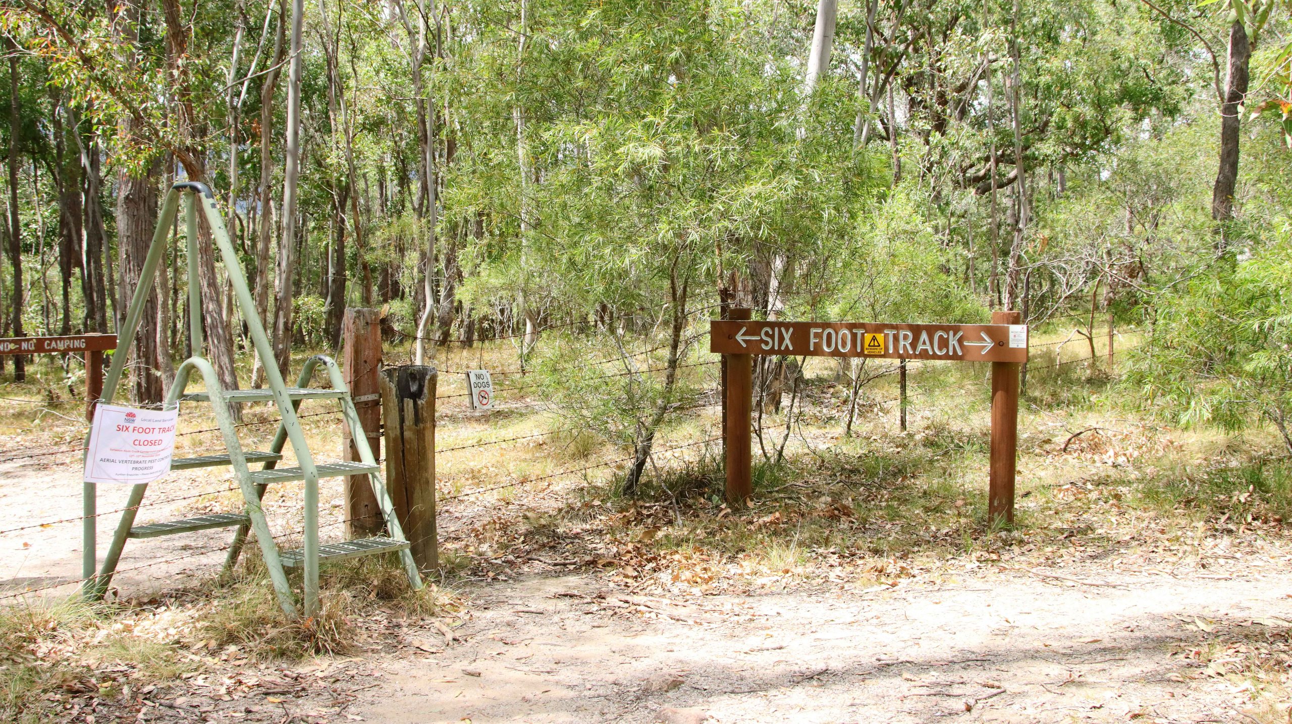
The Six Foot Track start.
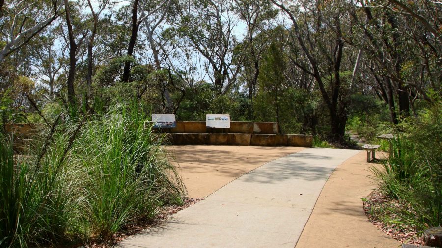
For some older scenery we returned to the old site of Explorers Tree and confirmed that the rellick was no longer there. But on the other hand we did discover the Katoomba end of The Six Foot Track. It now begins at an eco-cultural plaza, I guess you would call it, with history and Aboriginal culture sharing prominence. The quality of the trail head path does not continue very far.
The former site of the Explorers Tree.
We returned to Blackheath for Aileen to subject herself to another pummelling. Then lunch at a gourmet sandwich shop in the main street of Blackheath. Different and very tasty.
Sadly, this is where my photos of the Blue Mountains end. I took some shots at Mount Wilson and on the way down the mountain to Lithgow but they are not on my camera or phone. It is a mystery.
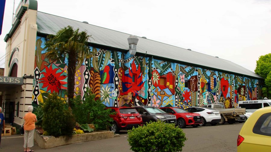
A mural on the old theatre in Blackheath.
We still had an afternoon to fill. The last time that Ruth and had driven west to east over the Blue Mountains we had used the Bells Line of Road, the main link between Lithgow and Richmond on the Nepean River. I had noticed a turn to the left east of the small town of Bell, to Mount Wilson. This small town became our destination.
From Blackheath we had a 32 km drive, the last 10 km or so on winding mountain roads. We found that we were in an area not unlike some of the less developed parts of the Dandenong Ranges in Victoria. The area is elevated with roads leading to large acreages blocks containing substantial houses with extensive gardens.
Another view into the Grosse Valley
There is a small commercial centre but no one was there. The area offers a number of walks but it would require a much better day to entice me onto any of them. At least we now know what is there.
Returning to Bell, we continued on towards Lithgow, hoping to take a look at the Zig Zag Railway, the heritage listed original railway that climbed the mountain from Lithgow. When I planned the trip, a ride on the railway was to have been on our itinerary, until I discovered that the train only operated on Friday to Monday. Rain had started by the time we reached Clarence Station, the top station of the Zig Zag Railway, so we drove past.
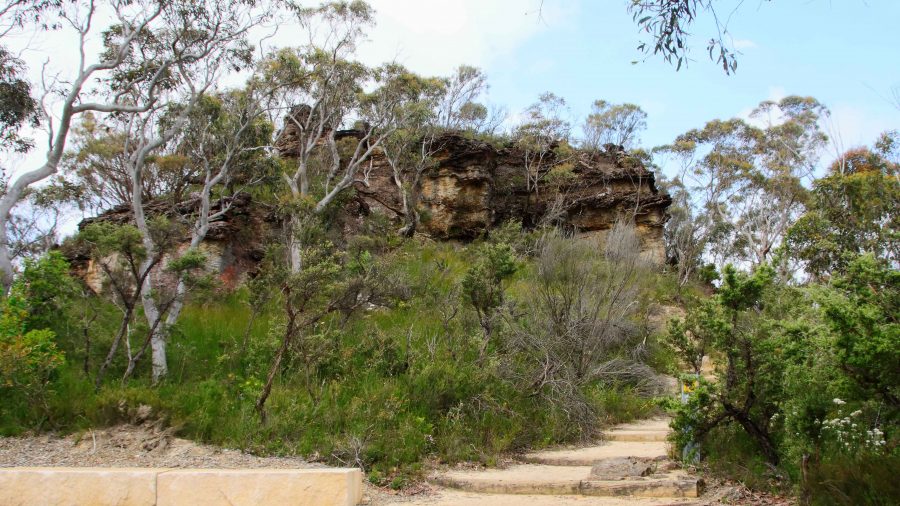
Anvil Rock
To cover new territory, we continued down the mountain to Lithgow, returning to Blackheath via Hartley and the Mount Victoria Pass. Beside the highway, we could see the new road being constructed, towards the base of the mountain where the tunnel will start.
Each time we drove to or from Katoomba we passed, in Blackheath main street, the Blackheath fish and chip shop. We subsequently discovered that the shop had opened about a year after Ruth and I had honeymooned in Katoomba. So, when dinner time approach Bernard and I sallied forth and acquired four seafood boxes. They provided a very satisfactory meal.
Thelma, Ruth flanked by old friends.
On Friday morning we were out of bed early as we all had a distance to cover before nightfall. We left Blackheath at around 8.30 AM, Aileen and Bernard bound for Cooma and Ruth and I for Coffs Harbour. It was a long day, but we used the tollway tunnel system to escape Sydney. Further north,we were interested to see the scope of the highway extensions under way to link the northern end of the Newcastle Bypass with the highway north of Raymond Terrace.
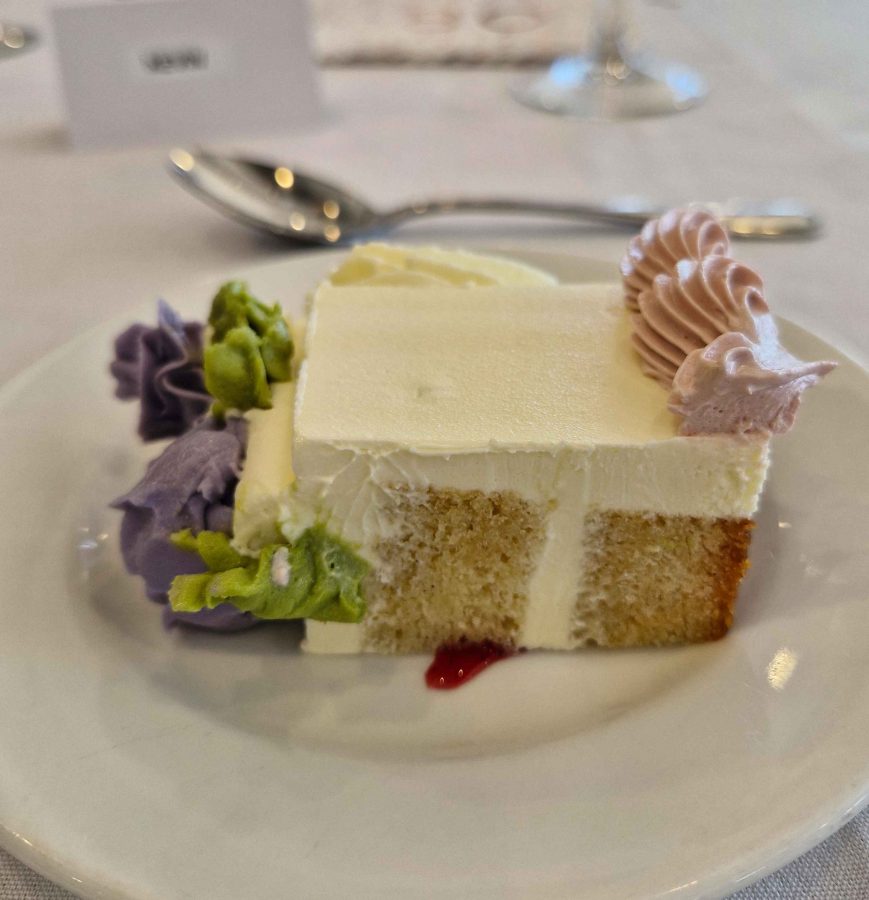
The birthday cake became desert.
A short drive on Saturday morning brought us to the RSL Club in Ballina and the eightieth birthday celebration that was the gneisses of the whole trip south. It was a successful event. We renewed acquaintances with folk from our days in Melbourne who we have not seen for a very long time.
Next morning, with the family of our new eighty-year-old, we enjoyed the views over Shelly Beach from a café, as we shared brunch with visitors who had come to Ballina for the celebration. Suitably refuelled, we climbed back into the car for the last three hours of our trip.
Aileen had hurt her back yesterday morning, of all things, putting her trousers on. Tuesday night had been a bad night for her, so the priority for Wednesday morning was to find a chiropractor. She located one in Katoomba, with an appointment just after lunch. That determined the direction in which our sightseeing lay that day, but it was not much different to what we had in mind.
Wentworth Falls
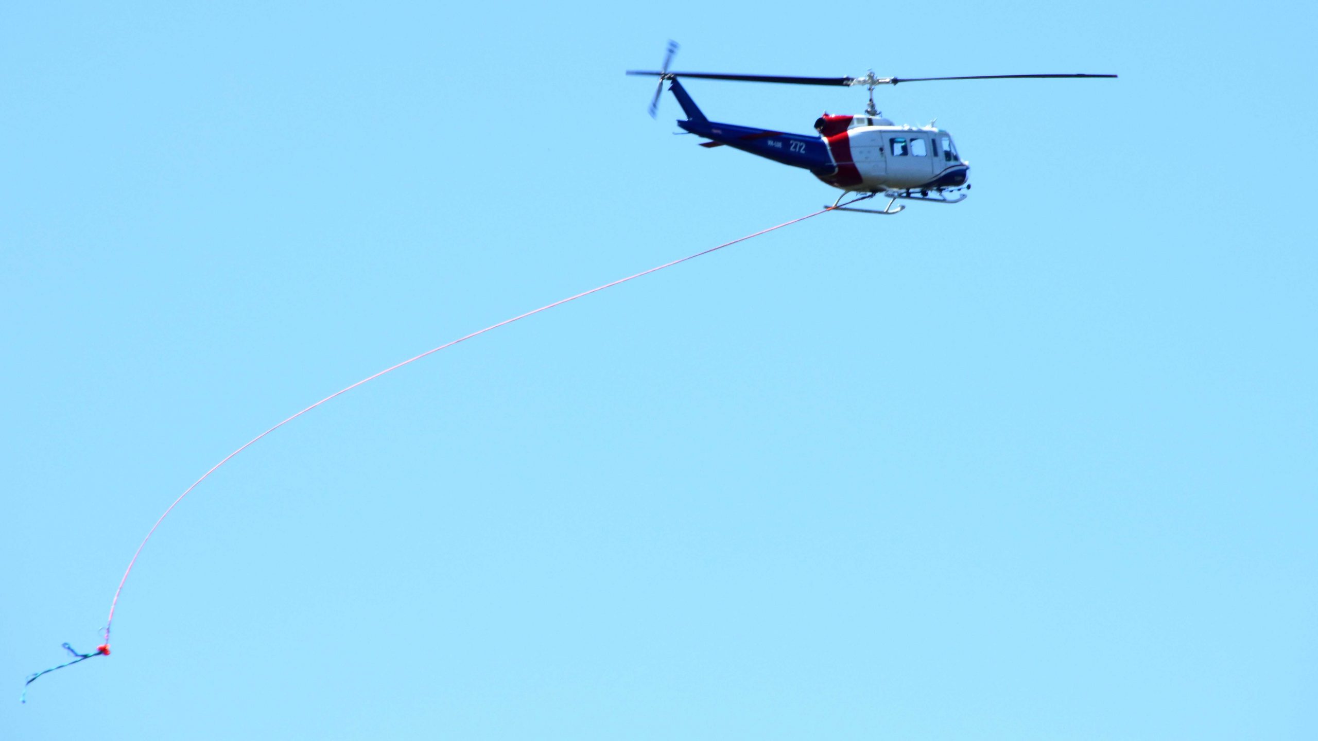
We started our tourist day at Wentworth Falls. As we approached the parking area for the walk to the viewing point we noticed smoke in the air, then spotted a helicopter with a water bucket underneath. Must only have been a small fire as the smoke reduced quickly but was still a bit of an obstacle to clear photos. Views into Jamieson Valley were good but when we moved along to the viewing Point for Wentworth Falls, the flow of water over the drop was a bit disappointing.
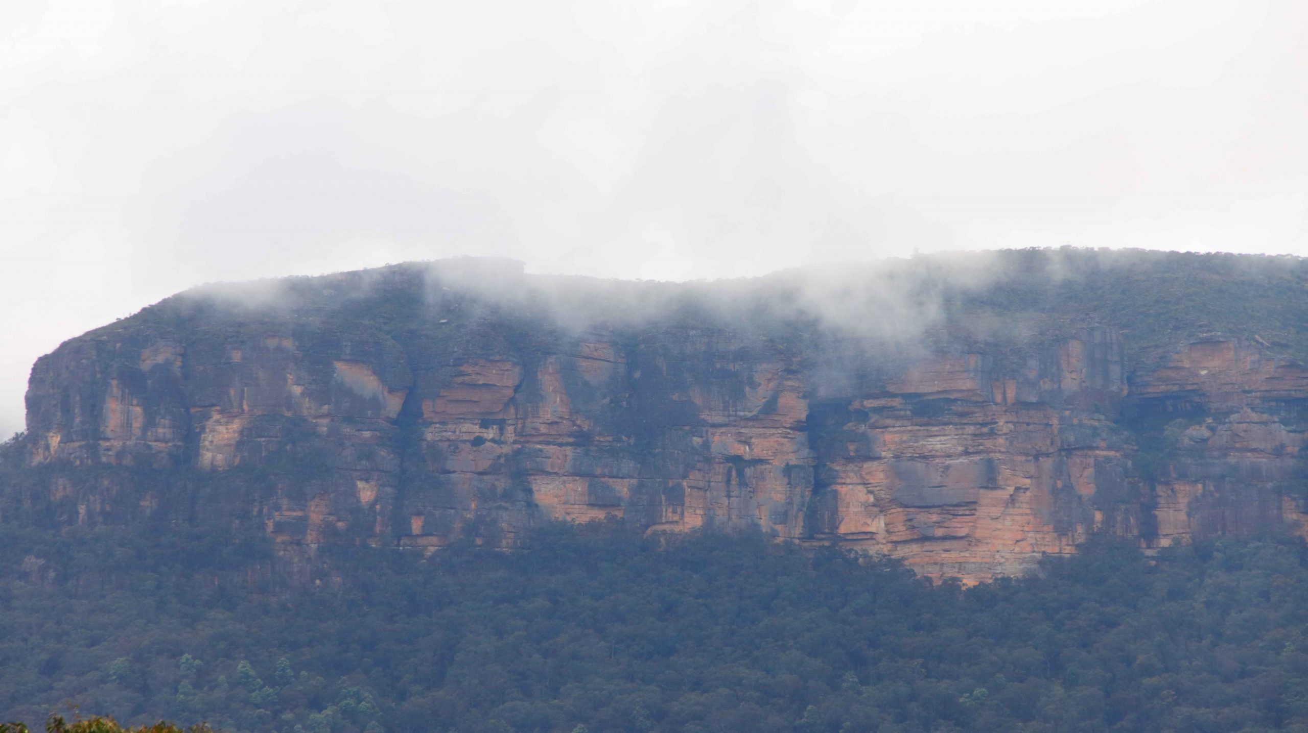
Sublime Point Lookout
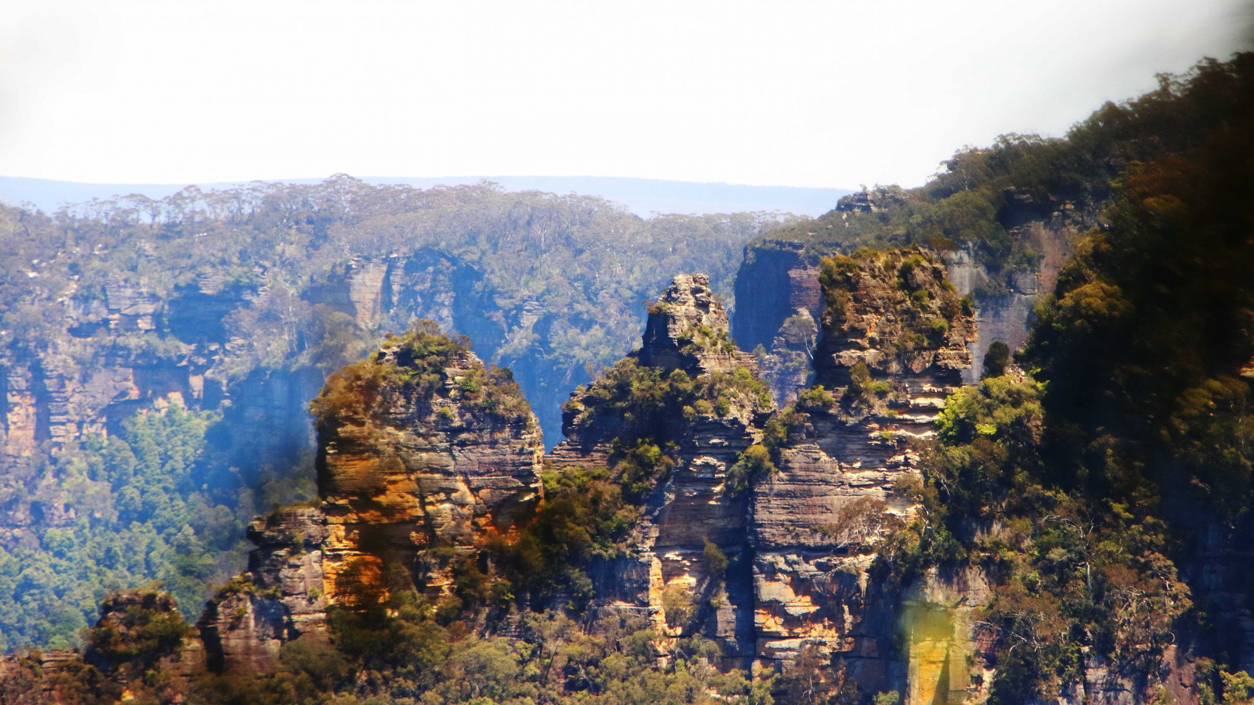
The less seen side if Thr Three Sisters.
View into the Jamison Valley from Wentworth Falls
The next stop was Sublime Point, where we walked down to the top viewing area that gave us a view of the lower lookout. Sublime Point protrudes into Jamieson Valley further than any of the other promontories, so does provide a top vantage point. It also provides a view of the back of The Three Sisters.
Next in order was Leura and the Leura Cascades but most of the area was closed to the public with car parks sealed off with temporary gates.
By now it was nearing lunch time. We found a parking space under the library and took the lift up to a cafe on an upper level. The chiropractor was located just over the street. I walked Aileen over while Bernard and Ruth waited.
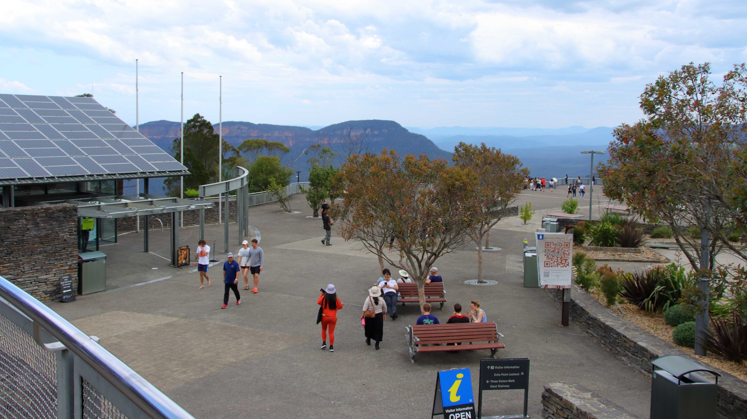
The viewing area at Echo Point
The fire control helicopter at Wentworth Falls. Note the bucket in the lower left hand corner.
Aileen felt better, so we continued our drive. As we were close to Echo Point we resumed there, taking in the views of mountains and valley and taking those mandatory photos. We went back to have another look at Leura Falls area but had no better luck. Finally we drove to Katoomba Falls. Again, there was not much flow in the stream and as it is quite a long walk out to the point where the water actually falls, we decided to give it a miss and move on.
That mandatory photo but I didn’t get the Sisters in the background.
The Jamison Valley terminal of the Scenic Railway.
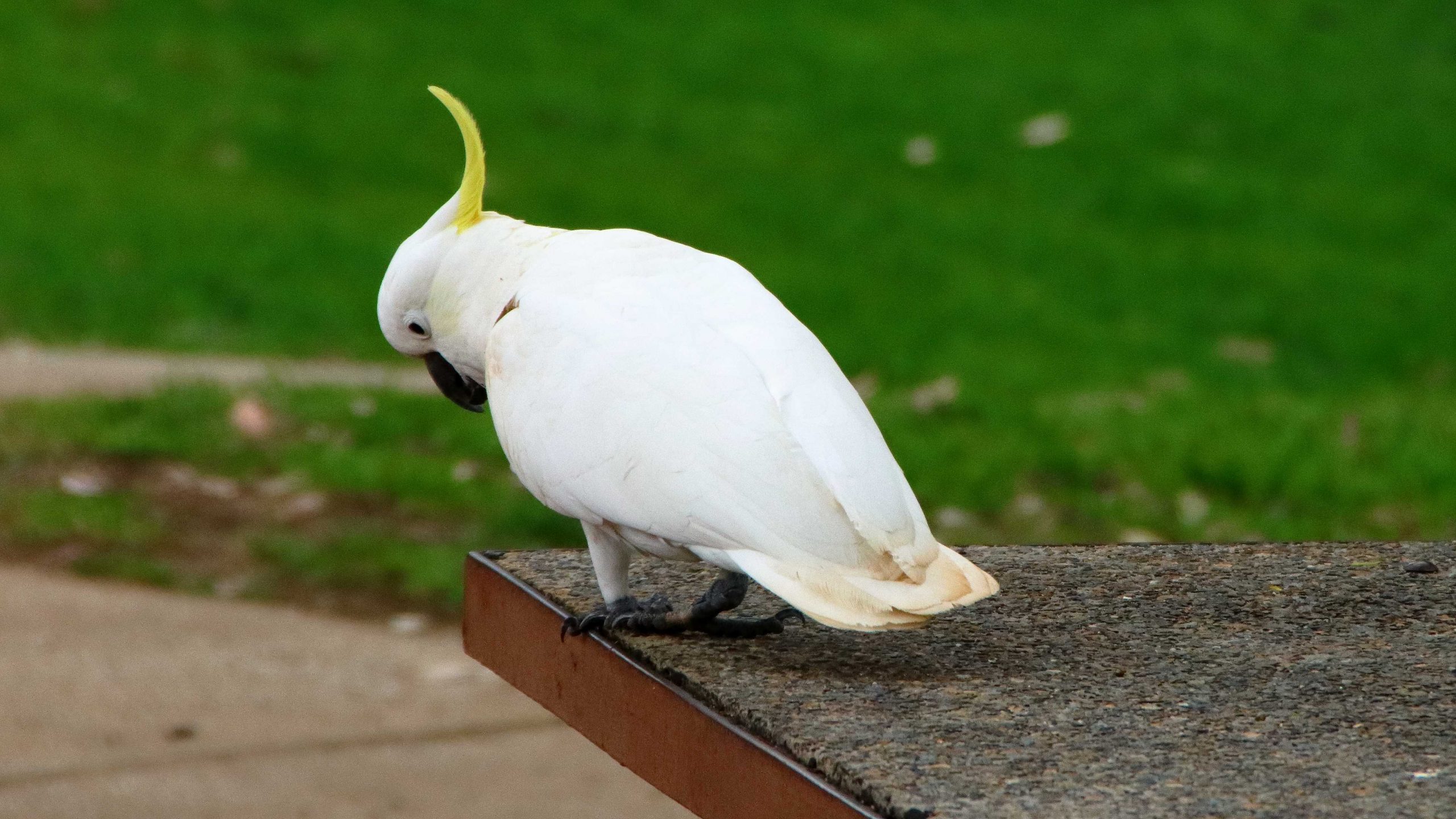
A Sulphur-crested Cockatoo at Katoomba Falls
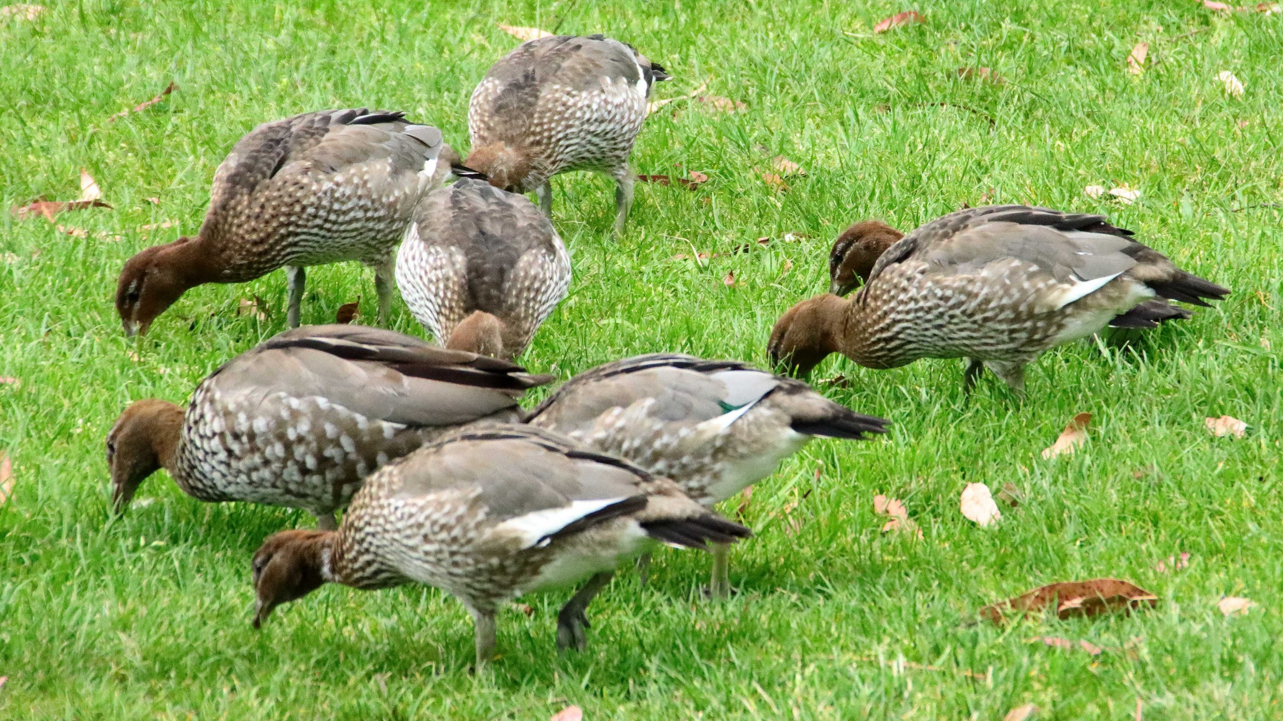
Heads down and eat. Wood Ducks also at Katoomba Falls.
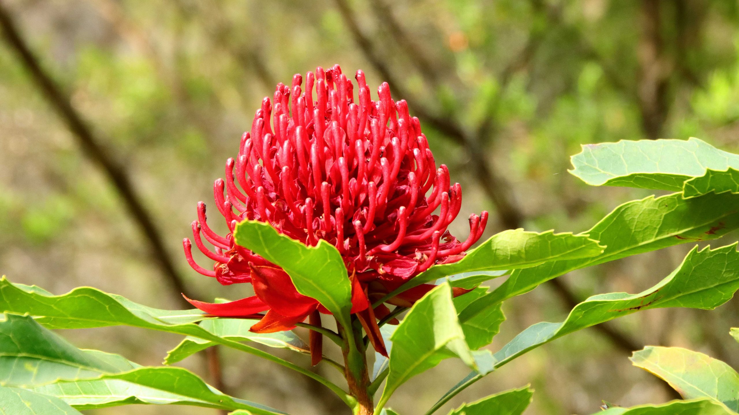
The Waratah, floral emblem of New South Wales.
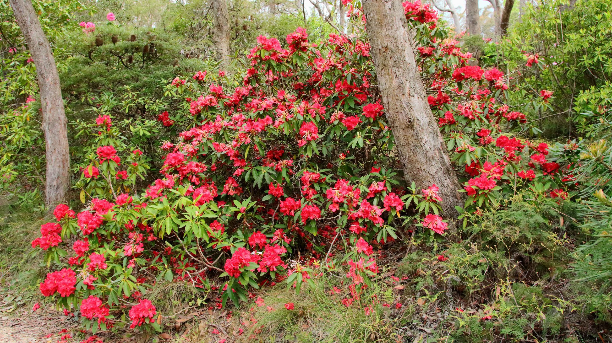
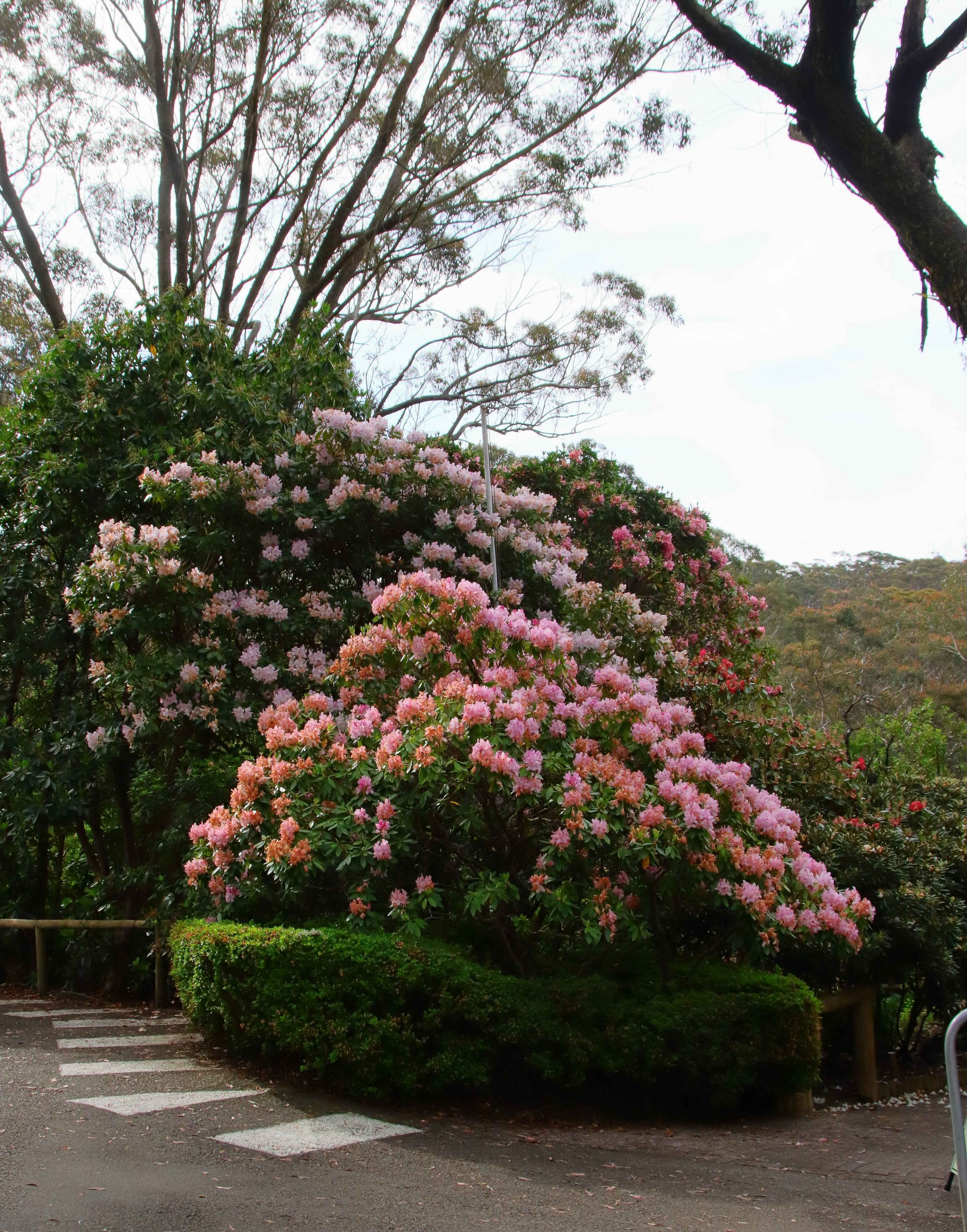
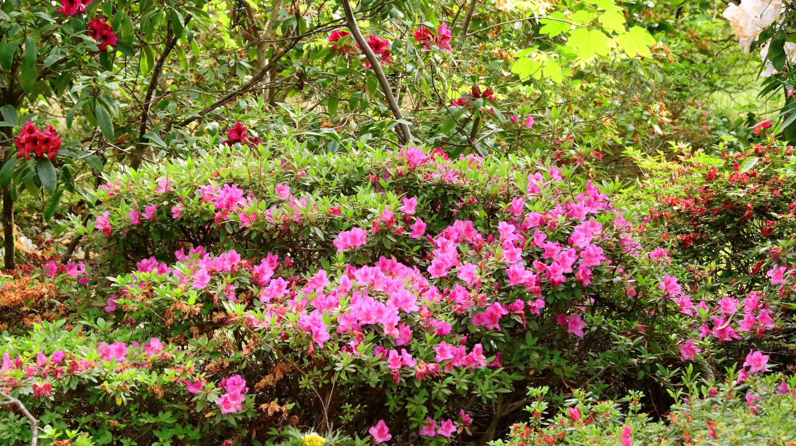
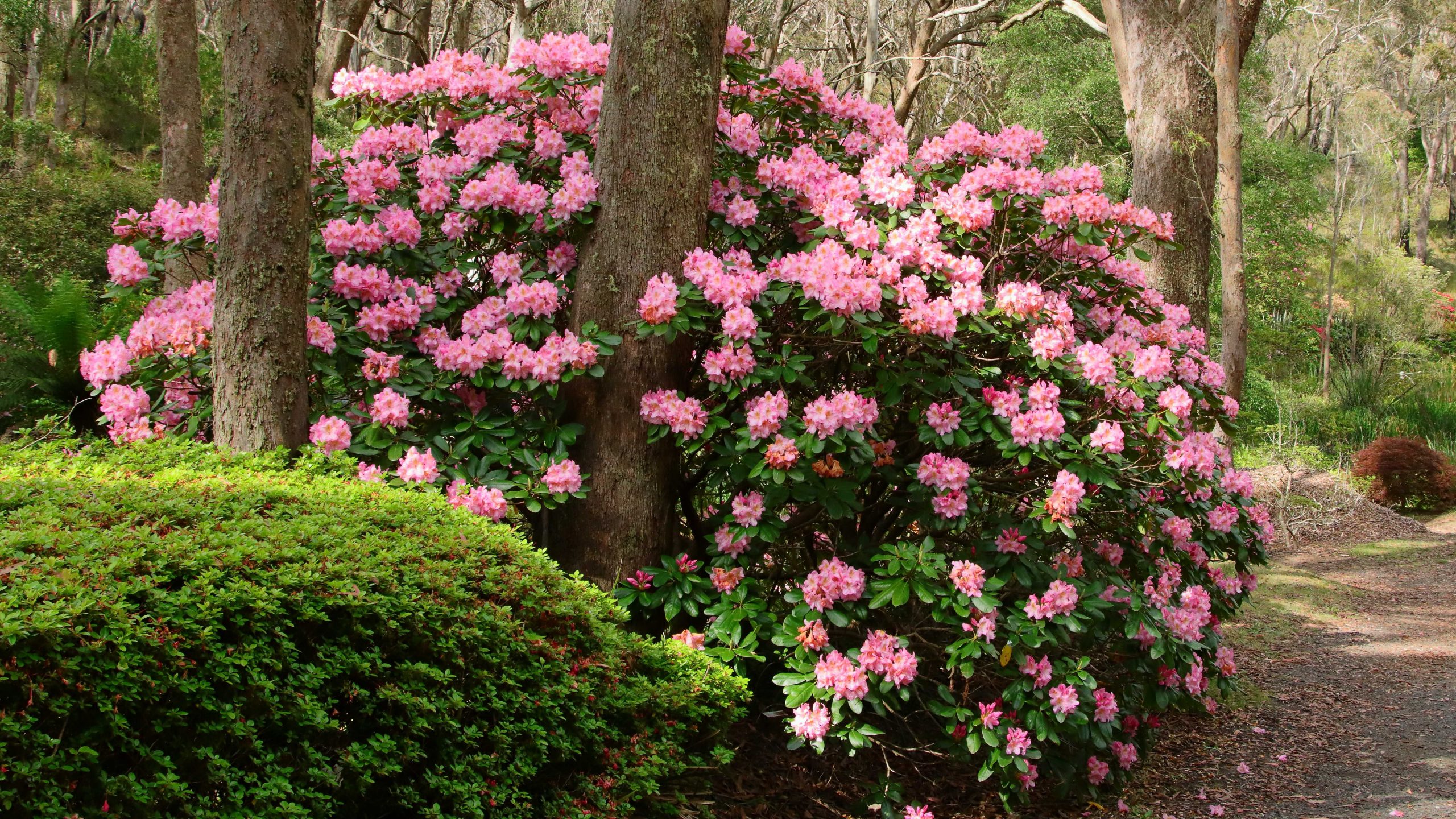
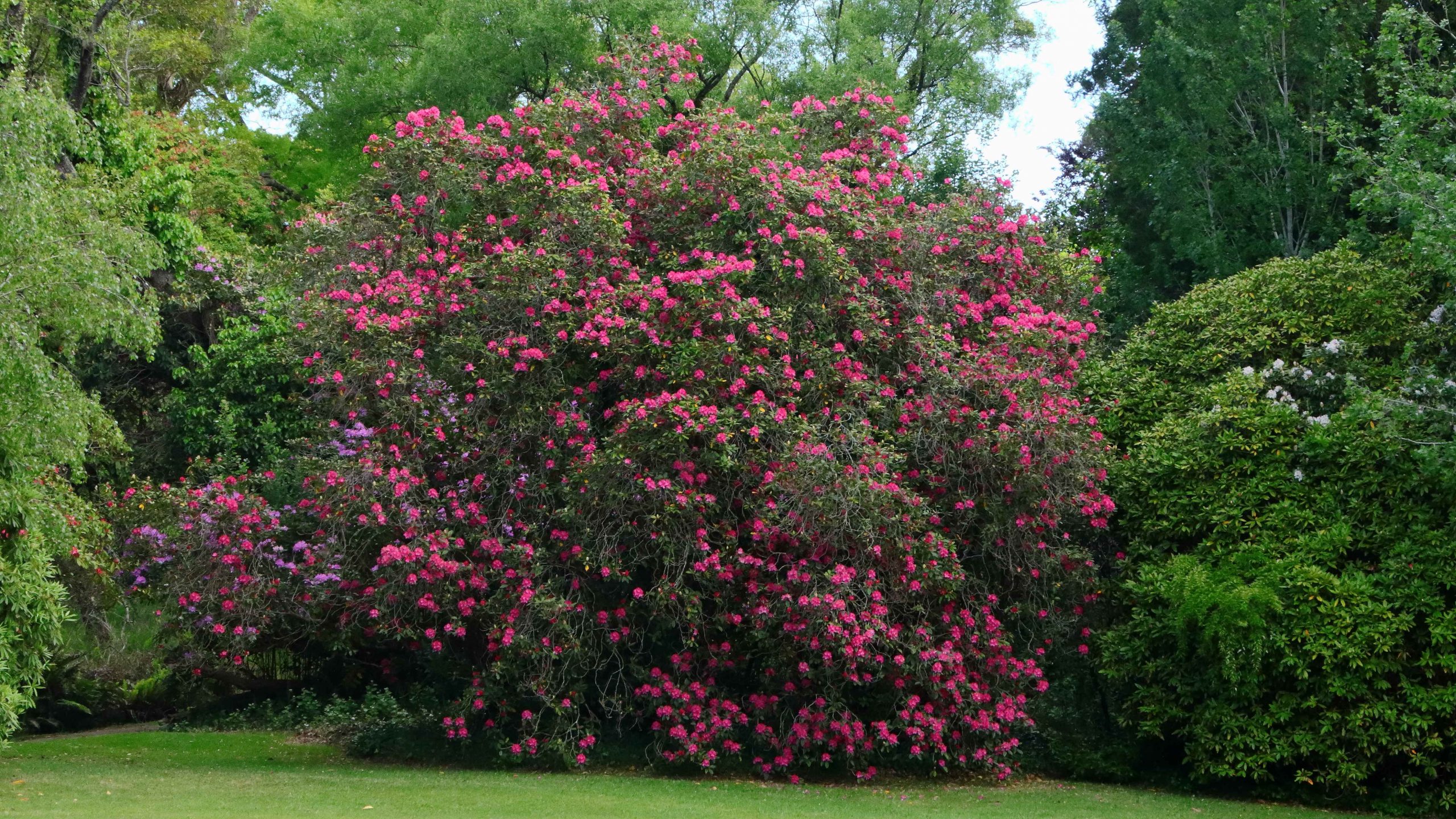
With the Katoomba area pretty much done, we returned to Blackheath to visit the Campbell Rhododendron Gardens. Rhododendrons grow well in the mountains with specimens of this family of shrubs adorning private gardens at evert turn. Despite the uniform floral theme, the gardens are worth a visit. Ruth and I previously visited about six years ago.
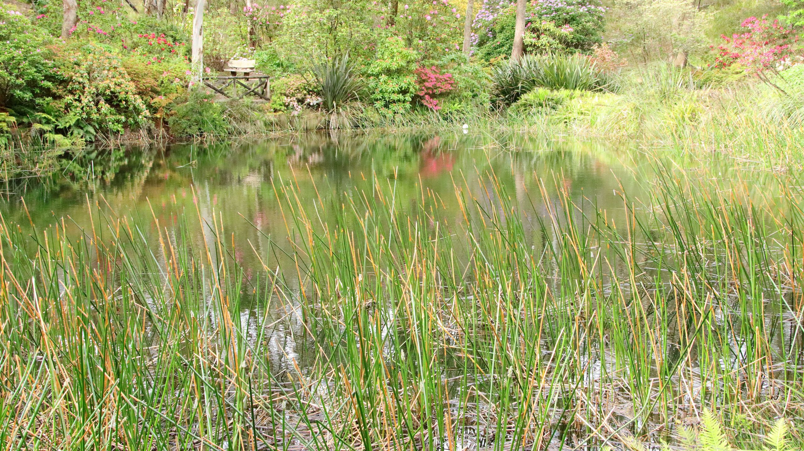
The gardens are spread over a timbered hillside with the blooms juxtaposed with native trees that provide natural shelter. A stream runs through the lower area with lagoons that provide reflections and a home for water birds. Sadly, many of the blooms were past their best but still provide a blaze of colour over the hillside. There is an entry fee of $5.
A Rhododendron in the gardens
A pool in the stream that runs through the lower levels of the gardens.
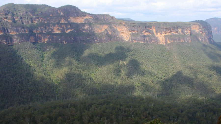
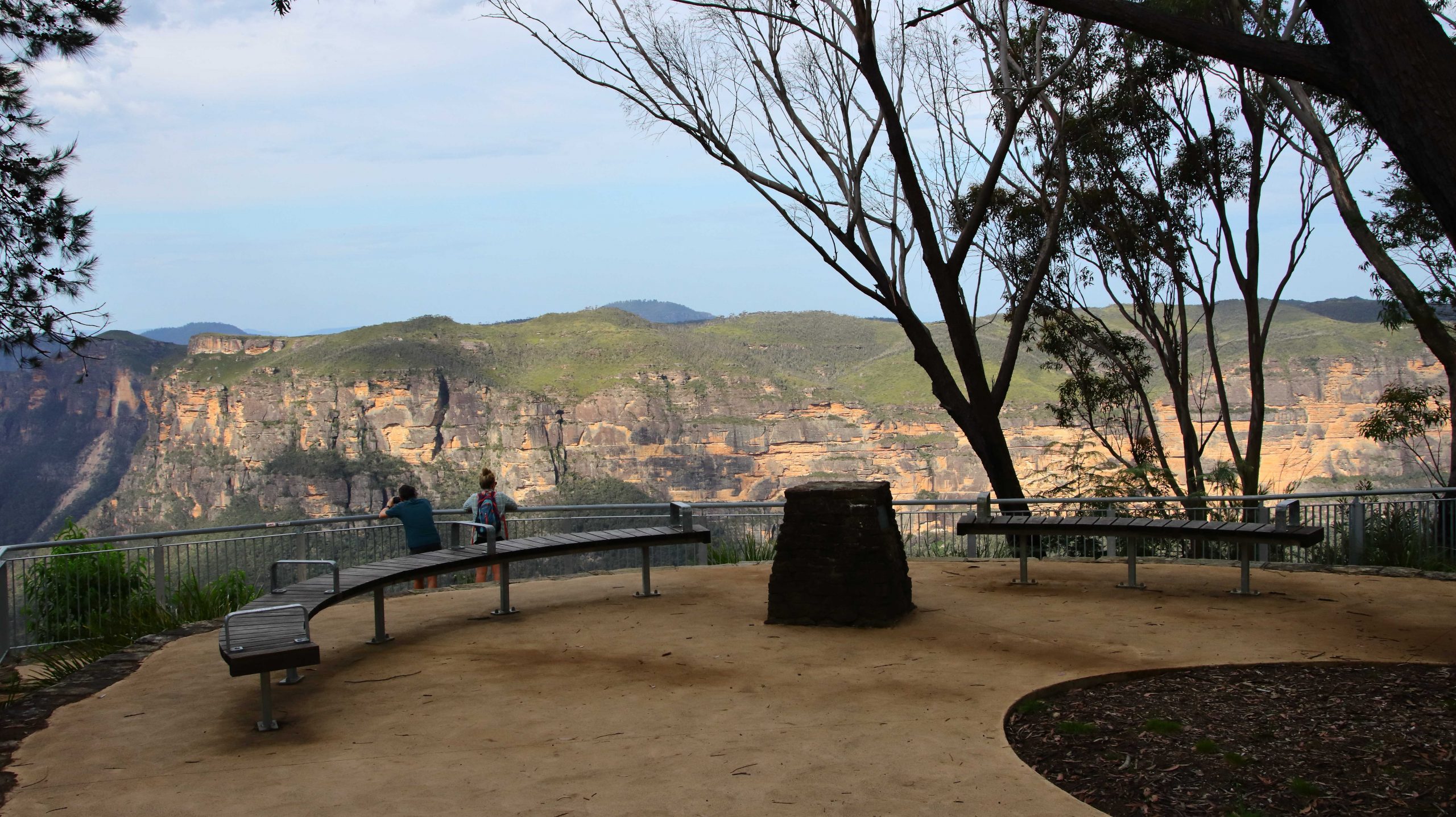
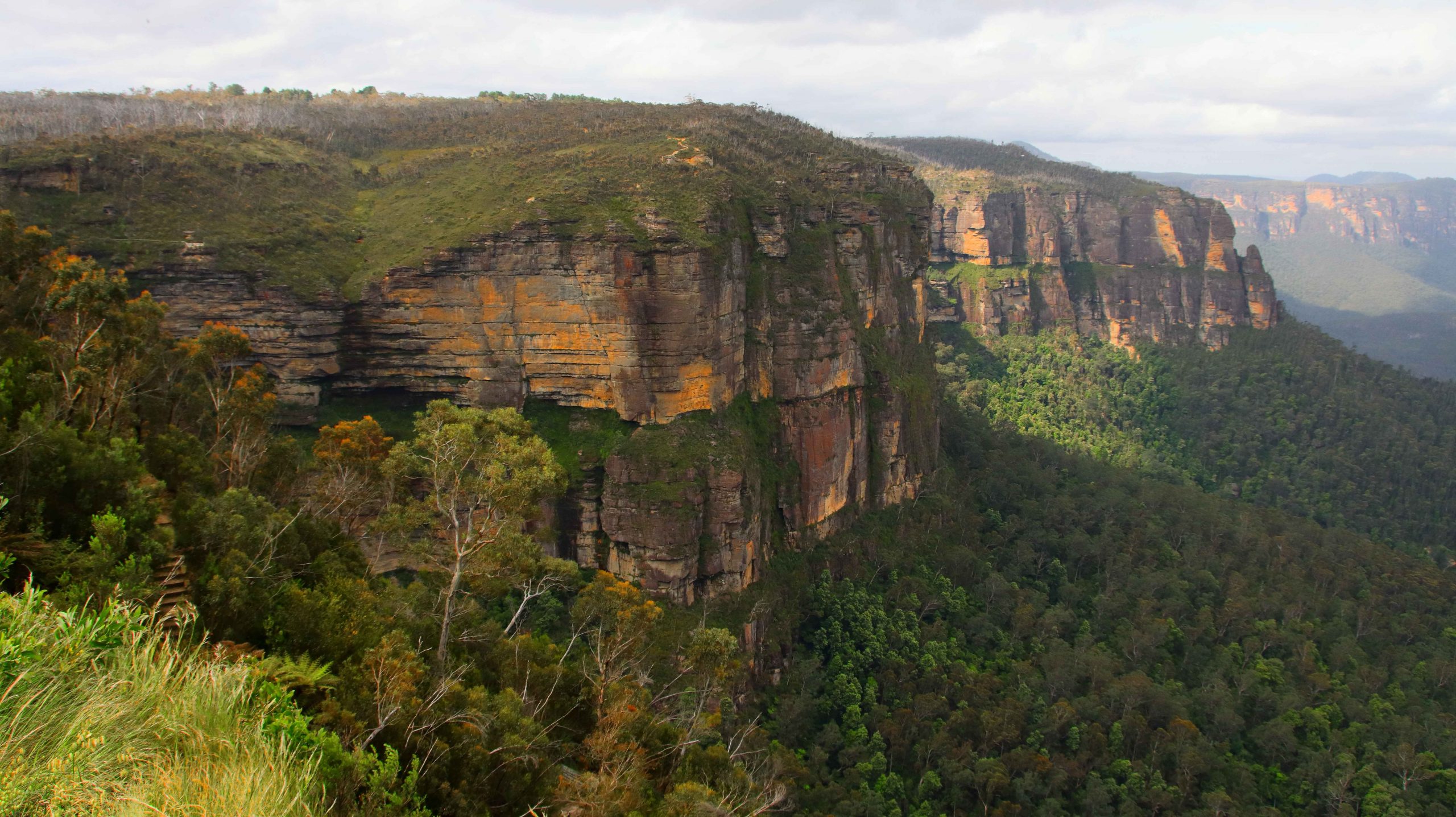
Evans Lookout and Grosas Valley
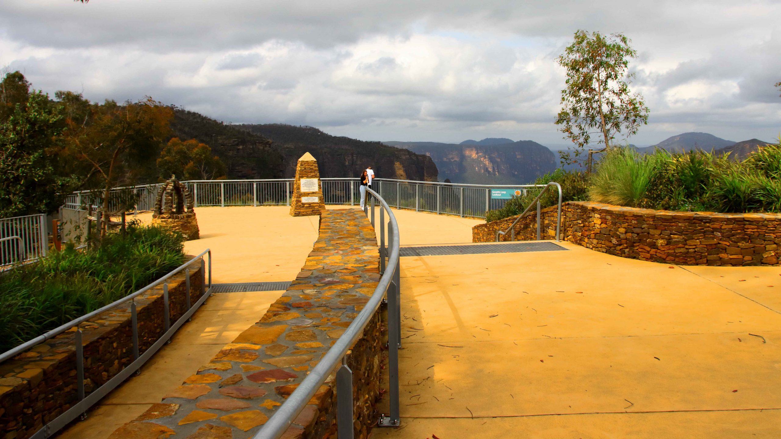
There is another verry good lookout in this area, just south of Blackheath. Evans Lookout provides views into the Gross Valley and of some of the best Sandstone cliffs in the area. It provides parking for one end of the Evans Lookout to Govetts Leap walk, a very popular walk through what is known as the Grand Canyon. This is a walk that I would have loved to do but I am afraid that time has passed me by.
A view over the Grosse Valley from Evans Lookout.
By this time Aileen was feeling the effects of the chiropractor’s pummelling so we returned to our cabin to rest and prepare for dinner. Bernard is a keen golfer so decided that we should patronise the Blackheath Golf Club for dinner. We had another pleasant meal and had the dining room almost to ourselves.
That was not, however, the end of our day. Aileen turned eighty on 28th November this year. We could not pass up the opportunity to celebrate. We had shouted her dinner and Ruth had purchased a birthday cake and candles. When we returned to our cabin we continued the birthday celebration with cake. The candles could not be lit because we did not have matches and it was too late to try to borrow some. We sang “Happy birthday” and talked.
Then bed time. That is always a great time of day at our age.
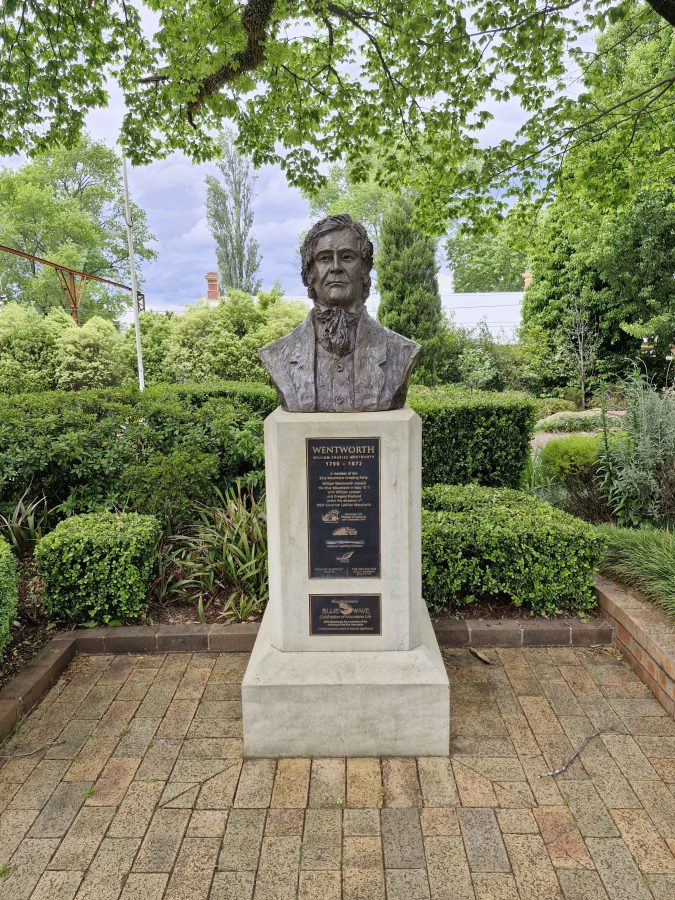
A statue to the memory of William Charles Wentworth in Wentworth Falls
Today is the day on which we meet Aileen and Bernard at Blackheath. They are arriving from an overnight stop at Cooma and Ruth and I from three nights at Cronulla.
With time to spare, we stuck to surface roads and left tunnels to the local commuters. We took a rest break at the large Penrith shopping centre, to purchase some necessary supplies and enjoy morning coffee. We proceeded via the old Great Western Highway, crossing the Nepean River on the old bridge and re-joining the new freeway at Blaxland.
The four-lane highway now reaches west of Katoomba and is kept clear of local traffic to some degree by service roads. That can make finding somewhere to pull off a bit more difficult. We did a bit of backtracking but finally found a cafe in the main street of Wentworth Falls for lunch. It was located in the old Wentworth post-office building and offered a pleasant environment for a break. We understand towns that have lost their post-office. We have lost our PO at Redcliffe, too.
We arrived at our lodgings at about 2.00 PM with our rellies arriving about thirty minutes later. Our cabin was on the side of a hill, giving us views over the park. We soon were settled in with a cuppa. I took a walk with my camera as the evening approached. We adjourned to a local pub for dinner.
This photo understates the density of the fog.
Waiting for the fog to clear.
Fog rising from the escarpment. These cliffs are near Medlow Bath.
Tuesday dawned fog bound. It finally lifted at about 10.00 AM so we set off to explore. Govetts Leap with its views into the Gross Valley was just down the road from our cabin so we started there. As expected, it was still fog bound. So we set off for lower country, returning to Blackheath and making our way down the steep narrow road to Megalong Valley. And is was particularly narrow as several hundred meters of half of the road had slidden down the hill during recent heavy rain. A weight limit was in place that would impact larger vehicles.
Trees in bloom were everywhere. This one was over the road from the caravan park.
Our drive took us past the tea house, primary school and Megalong Creek to the point where the Six Foot Track crosses Megalong Road. During the period since we last visited, a couple of wineries and an eco lodge have been established.
The Six Foot Track was closed for pest eradication so there was no walkers. This track was built to provide access for passenger carrying horses transporting tourists from Katoomba to Jenolan Caves in the early days. The track is 42 km long and provides the running track for an annual marathon. It can be walked in about three days. Two if you hurry. It’s name is drawn from the original specification that required it to be built at least six feet wide to allow two loaded horses to pass.
The Six Foot Track where it crosses the Megalong Valley Road.
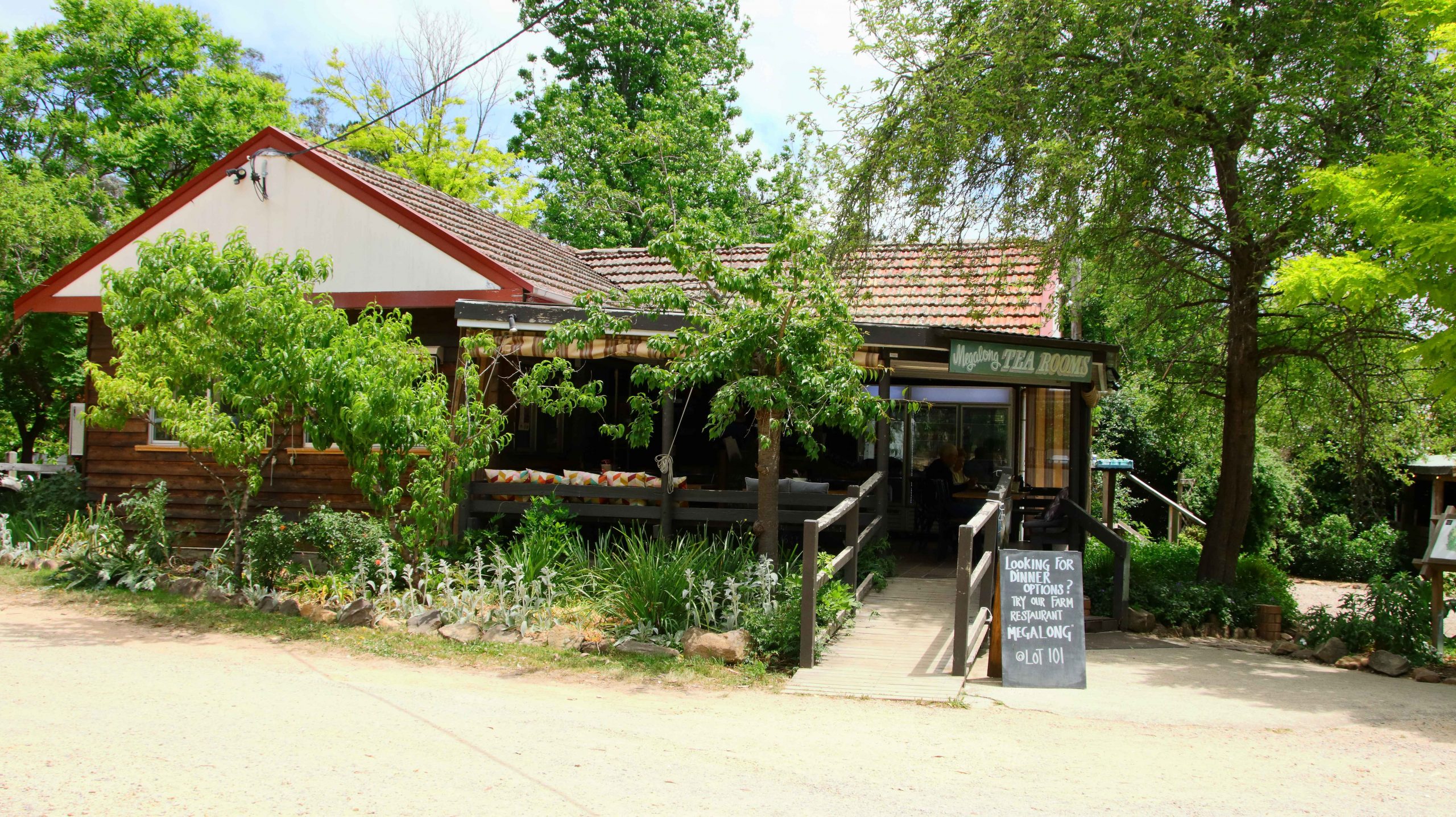
Megalong Valley Tea Rooms serves good coffee and food.
The Megalong Valley Tea House was our lunch destination and provided acceptable food and coffee. Or tea for Bernard. There were a few flies about and cicadas serenaded us from the trees, leaving us in no doubt that we were in the bush.
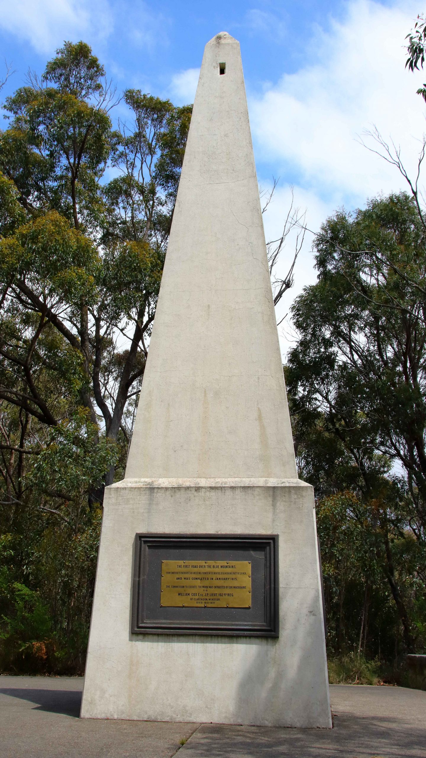
The memorial to the Blue Mountain Crossing. Each of its sides tell part of the story.
With a full afternoon ahead of us we drove first to Mount Victoria and then Mount York. Mount Victoria is on the Great Western Highway, just before it plunges down Mount Victoria Pass through Hartley. However the best views to the west are to be seen from Mount York, just 5.5 km along Mount York Road to the north west.
Mount York has a number of monuments to exploration, plus a parking and camping area. There are many mountain tracks and rock climbs in the area. Through a stone archway is a pointed rectangular based monument that commutates, among other things, the first crossing of the Blue Mountains.
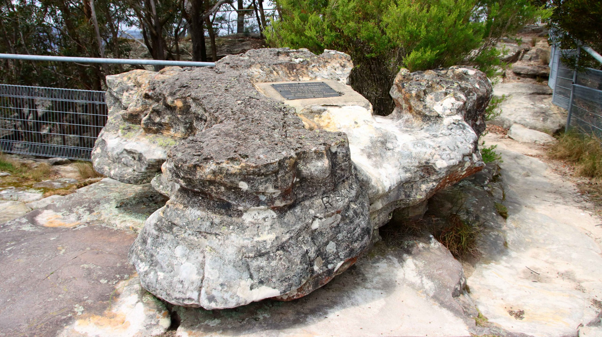
Along another track is a fenced lookout and Eddy Rock. Eddy Rock is a memorial to Commissioner Eddy who was in charge of NSW Railways when the railway was extended from Sydney to beyond the mountains. The views from Eddy Rock are spectacular and reach from Hartley, over Cox’s River towards Lithgow. Much green grass and acreage living.
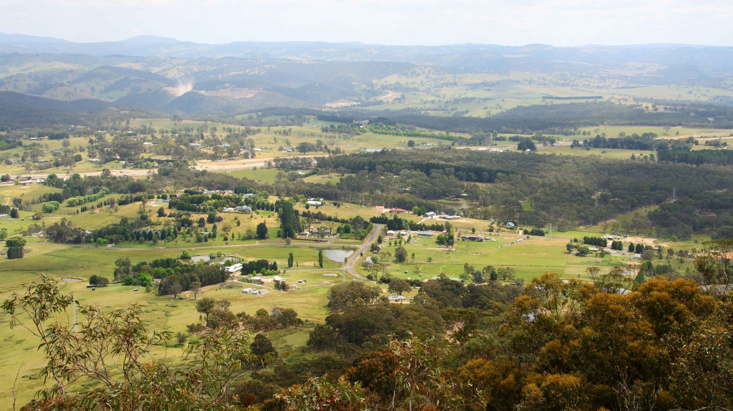
Part of the view from Mount York, towards Lithgow. The access lanes to the Mount Victoria tunnel are in the upper left of the photo.
Eddy Rock, the memorial to the NSW Railway Commissioner.
I had read reports of a tunnel to built to provide a less steep road from the west to the top of the Blue Mountains. We had seen significant road works at Medlow Bath. Standing on the lookout at Mount York we could see extensive road duplication approaching the steep mountain side where the Great Western Highway starts its climb. Some research provided the information that a tunnel is under construction. It will steadily climb from the west and join the current highway between Blackheath and Medlow Bath.
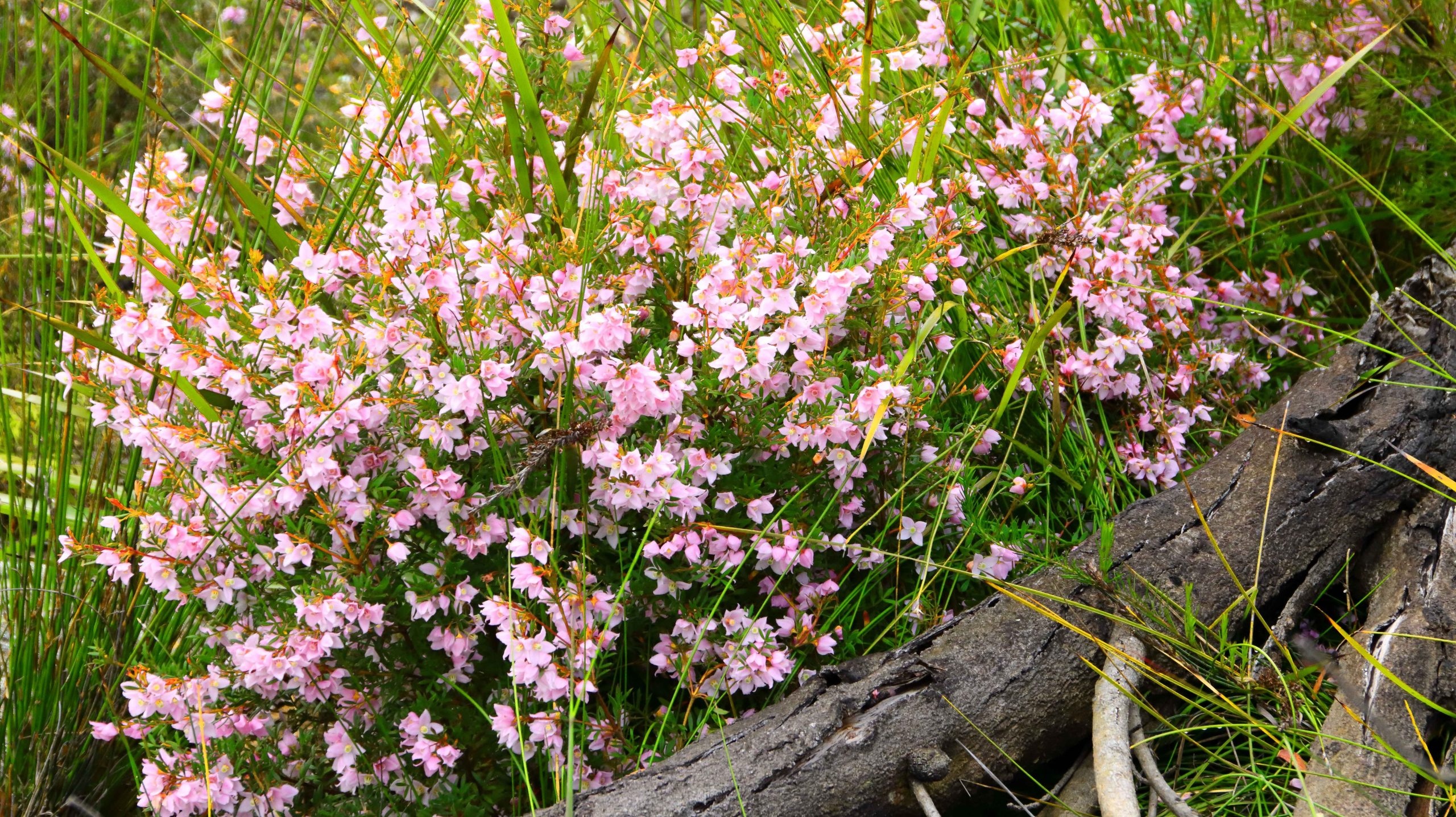
Boronia blooms at Anvil Rock carpark.
From Mount York we worked our way back to Blackheath via various lookouts including Anvil Rock, Perry Lookdown and finally Govetts Leap Lookout.
There was a good wildflower display at Anvil Rock car park and Perry Lookdown provided more views of the Gross Valley. I think it is called a lookdown because of the views that it provides of the forest on the valley floor.
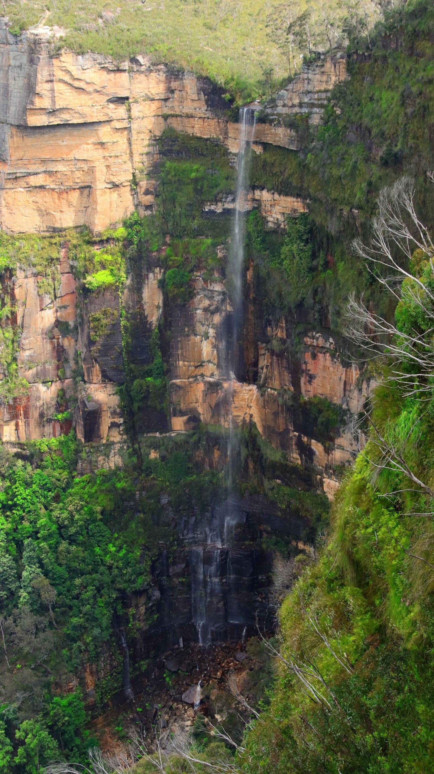
Bridal Veil Falls at Govetts Leap.
Govetts Leap is very popular as the size of the parking and viewing area suggests. It is said to have gained its name when a government surveyor named Govett jumped his horse over a cliff side fence, landing on a narrow ledge between the fence and a sheer drop of several hundred metres.
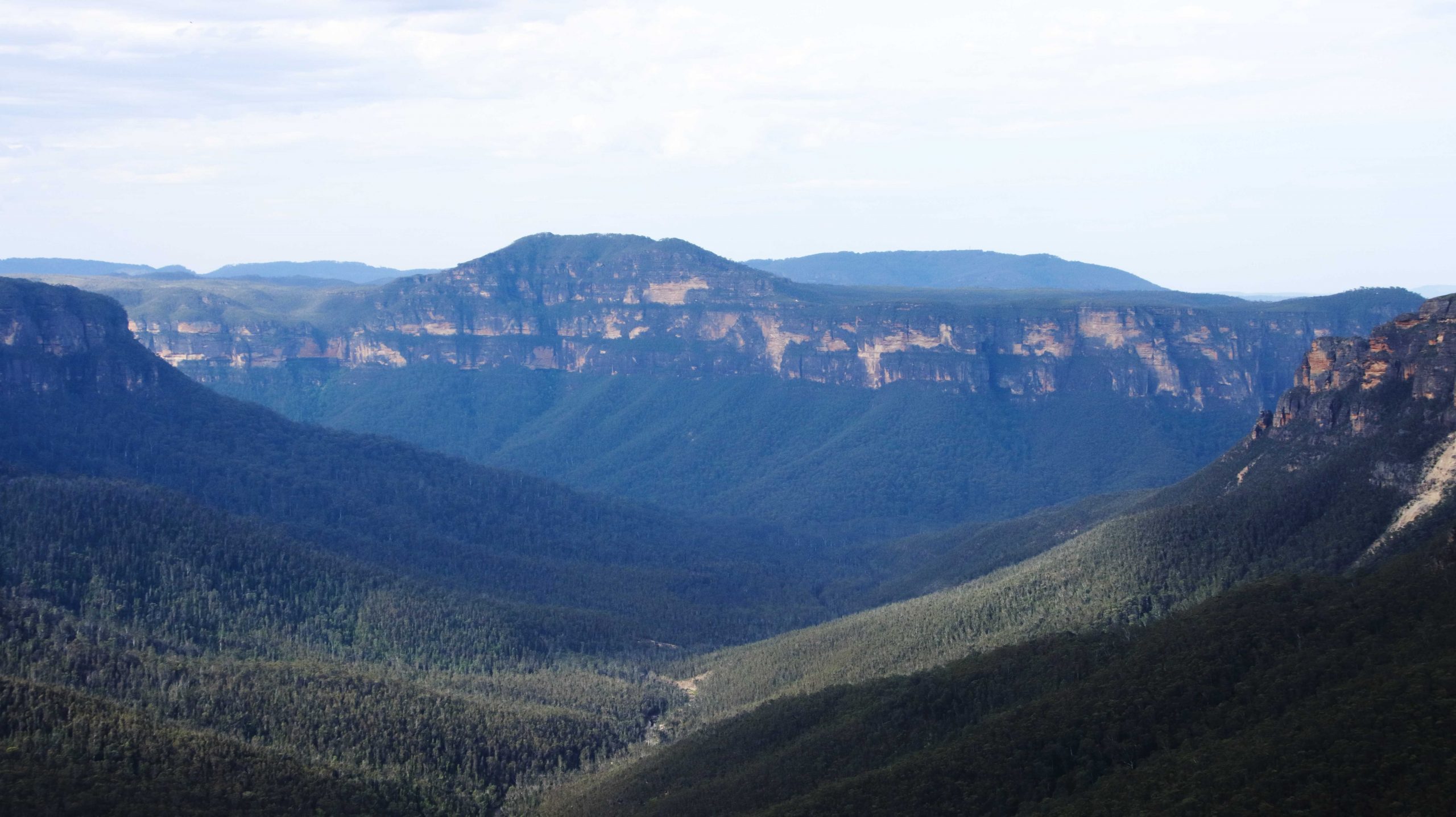
Govetts Leap Lookout provides excellent views into the Gross Valley and of the mountain ranges that form it. There are many broad expanses of Sandstone that reflects the sun’s rays on a sunny day. The lookout also provides stunning views of Bridal Veil Falls that drop 180 meters from a stream on the plateau to the valley floor. The water flow was not great but the sheer drop makes up for that. We have seen these falls with more water flowing and they look great. There are several walks in the area, some of them involving many hundreds of steps. Down and then back up!
The mountains viewed from Govetts Leap across the Grosse Valley.
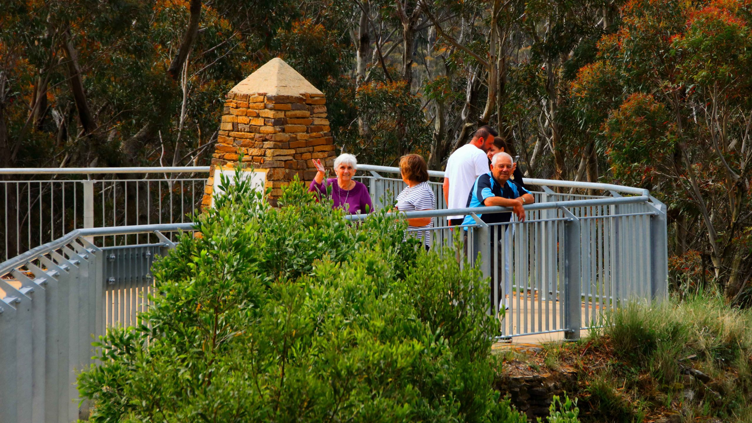
An almost deserted Govetts Leap Lookout.
Ruth, Aileen and Bernard looking out from Govetts Leap.
We returned to the cabin to prepare for the evening. Bernard, a keen golfer, suggested the golf club. We enjoyed a very good meal, but almost had the club dining room to ourselves.
But the day was not quite over. On 28th November Aileen will turn 80. We could not let the event pass without celebrating, so we bought a birthday cake and some candles. We returned to the cabin after dinner to cut the cake and sing “Happy Birthday” but found that we had no matches to light the candles. Undaunted, the candles remained unlit and we dealt with most of the cake. finishing the task with coffee next morning.
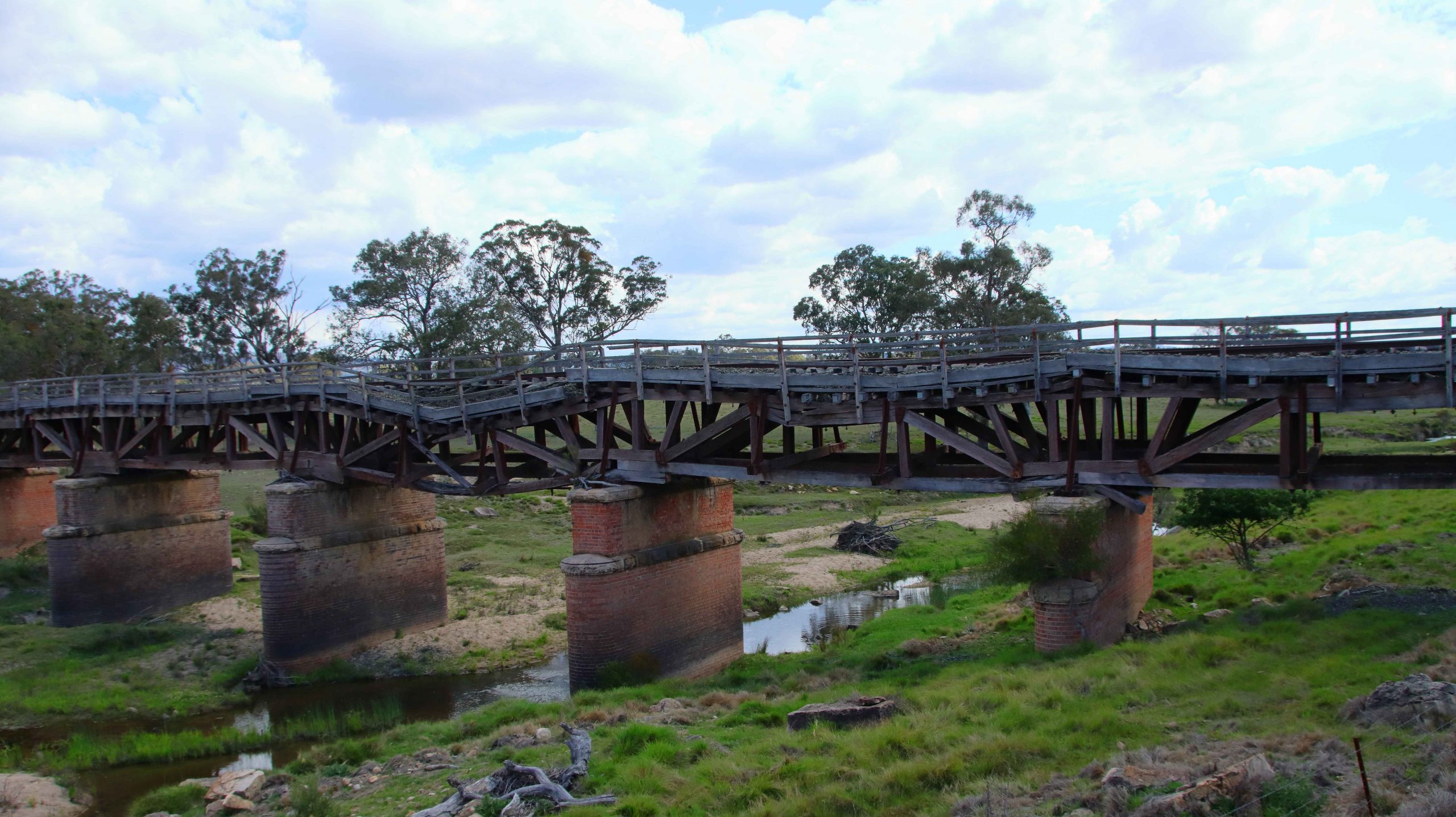
The ruined bridge on the old railway over Tenterfield Creek. Northern NSW.
About six months ago Ruth and I received an invitation from a couple who have been close friends for sixty years, to attend Thelma’s eightieth birthday party. We first knew Thelma and Joe in Melbourne. We have now been in Brisbane for about forty years. About five years ago they abandoned cold Melbourne for sunny Ballina, on the north coast of New South Wales. We had noted at the time of the invitation that the trip to Ballina might just be extended to further south.
My remaining siblings in West Gippsland, Victoria made contact more recently, to remind Ruth and I of our agreement to meet them halfway every so often, suggesting that it was about time that we did it again. So, after taking time constraints into account, we agreed to meet in the Blue Mountains for the first four days in the first week of November. This resulted in the planning of a trip that would put us in touch with most of our relative who live in and around Sydney as well as the Victorian siblings.
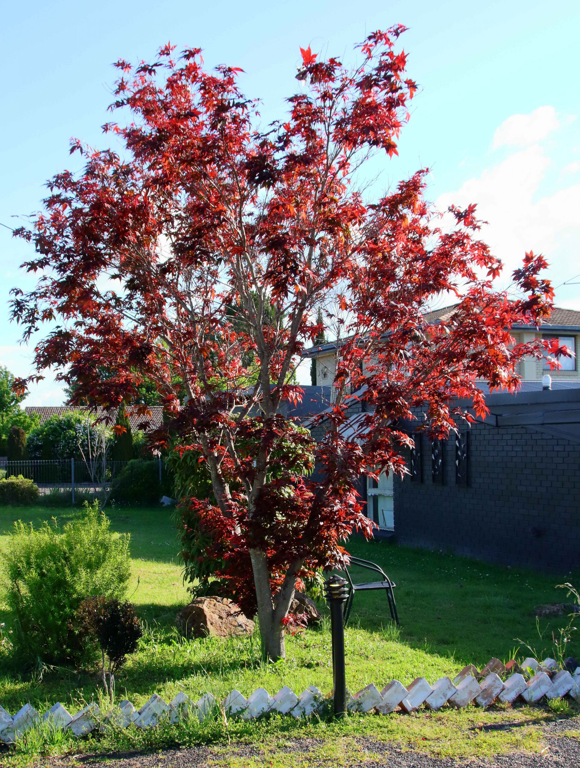
Is this a Japanese Maple? It looked very pretty in the afternoon light.
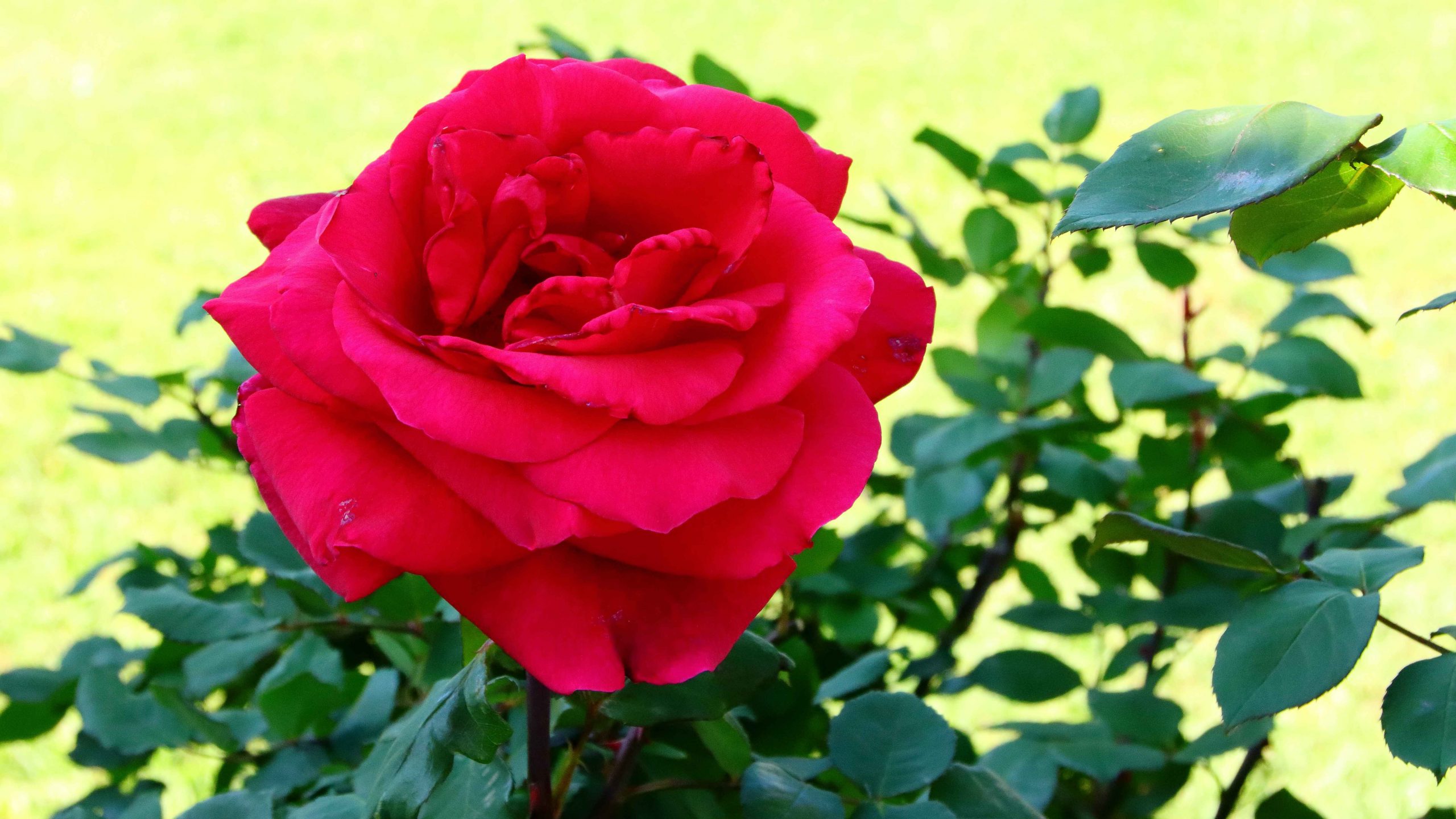
A footpath side rose, one of many in this garden
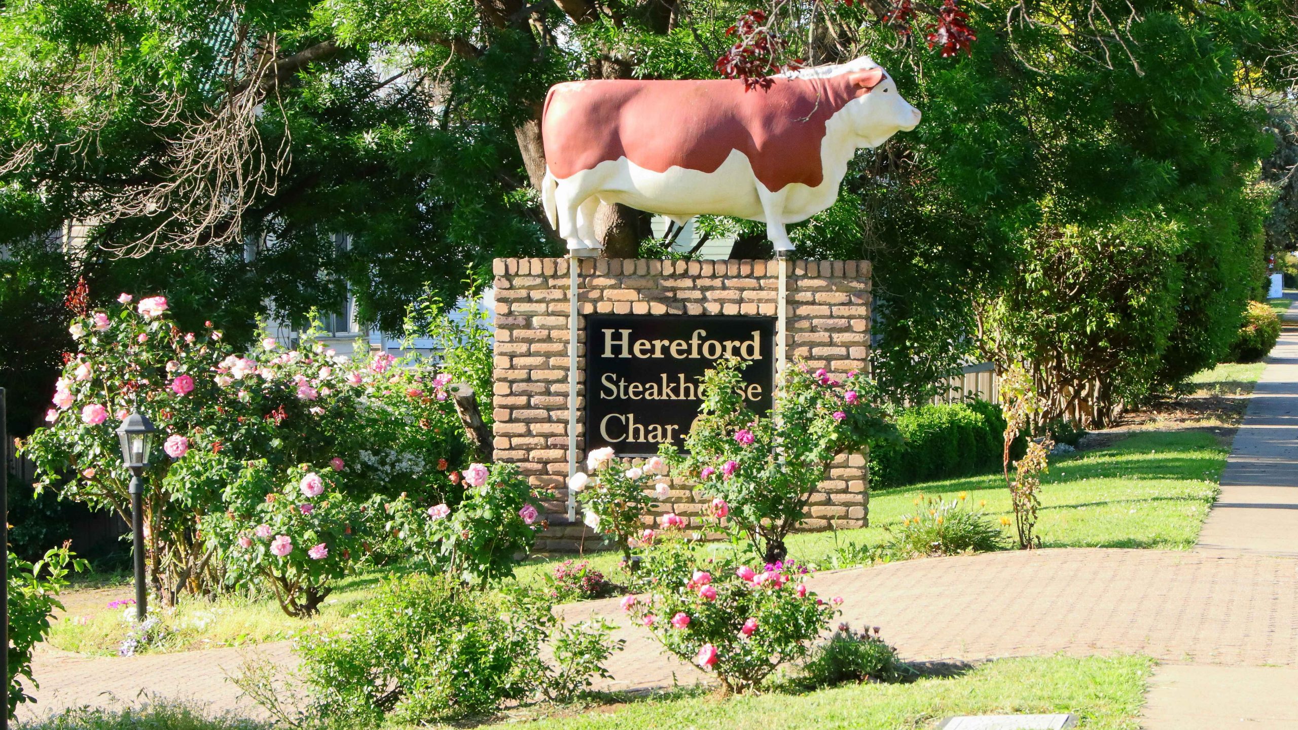
The statue of a bull has stood outside the steakhouse for many years.
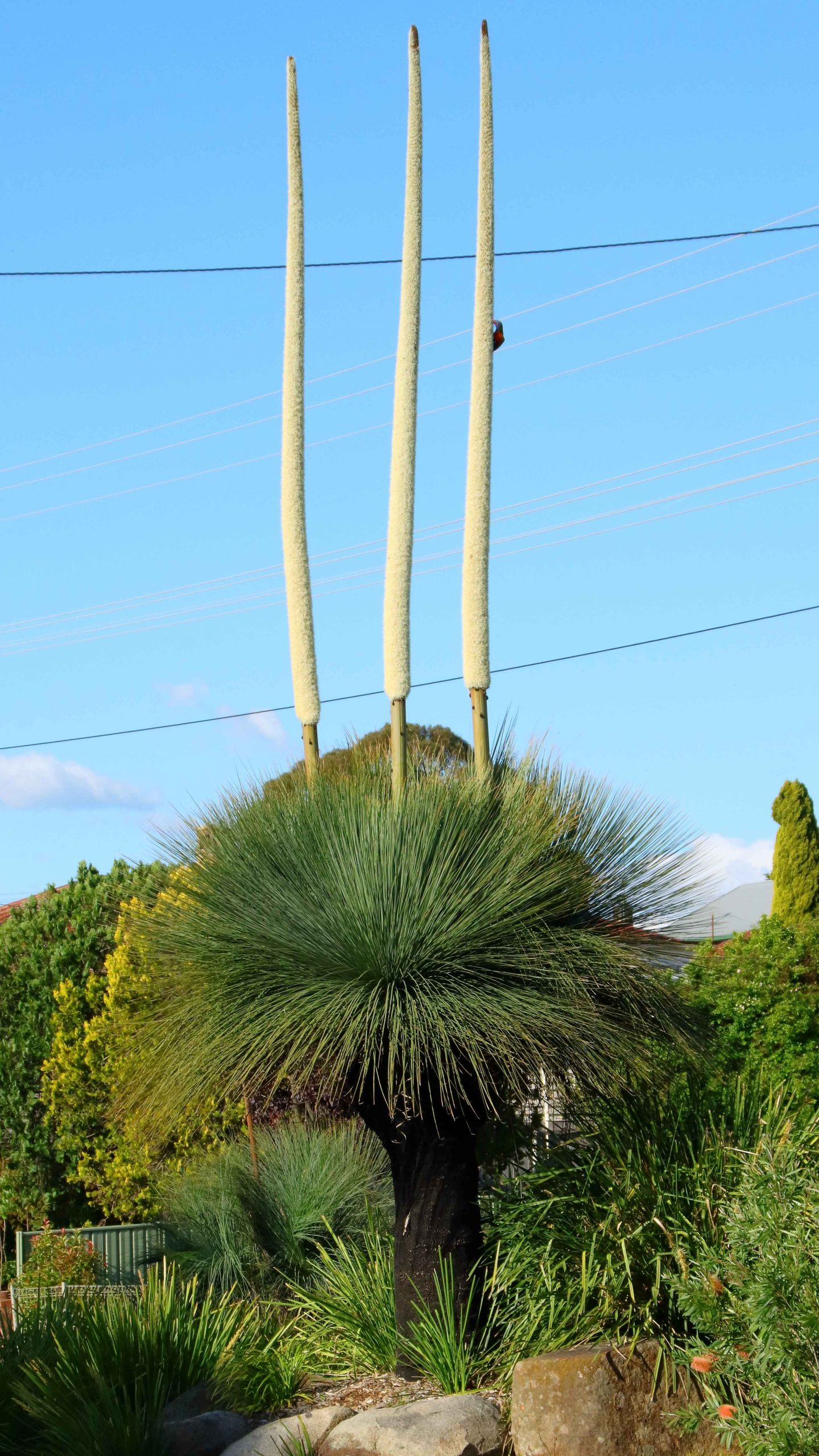
A Grass Tree in the highway media strip.
We departed Redcliffe on Tuesday 29th October with Glen Innes as our first overnight stop. As we have aged, we eat less, so normally buy a small evening meal that can be heated in a microwave and eaten in our room. Before eating, I normally go for a walk to maintain my thee million steps per year regime. It was a pleasant walk along the edge of the New England Highway. As is usual, my camera and walkabout lens accompanied me.
On Wednesday morning, instead of proceeding south to Armidale and Tamworth, we turned west to Inverell and towards the highway now known as Fossickers Way. Initially we turned south to Copeton Dam on the Gwyder River. The dam was a construction project with which I had an association. A transport company for which I had worked back in the day, had been involved in transporting construction materials to the dam construction site.
My employer had purchased a Guyra based transport company to help balance freight volumes between Sydney and Brisbane. There is no money in running empty trucks around the country. The Guyra operation had the contract to transport asbestos from the Woods Reef mine near Barraba. During that period I had spent part of almost every week in the New England area, merging the accounts and systems of the Guyra company into its new parent company’s systems. Given what subsequently happened to the asbestos industry, I was interested to return after about fifty years, to see what remained.
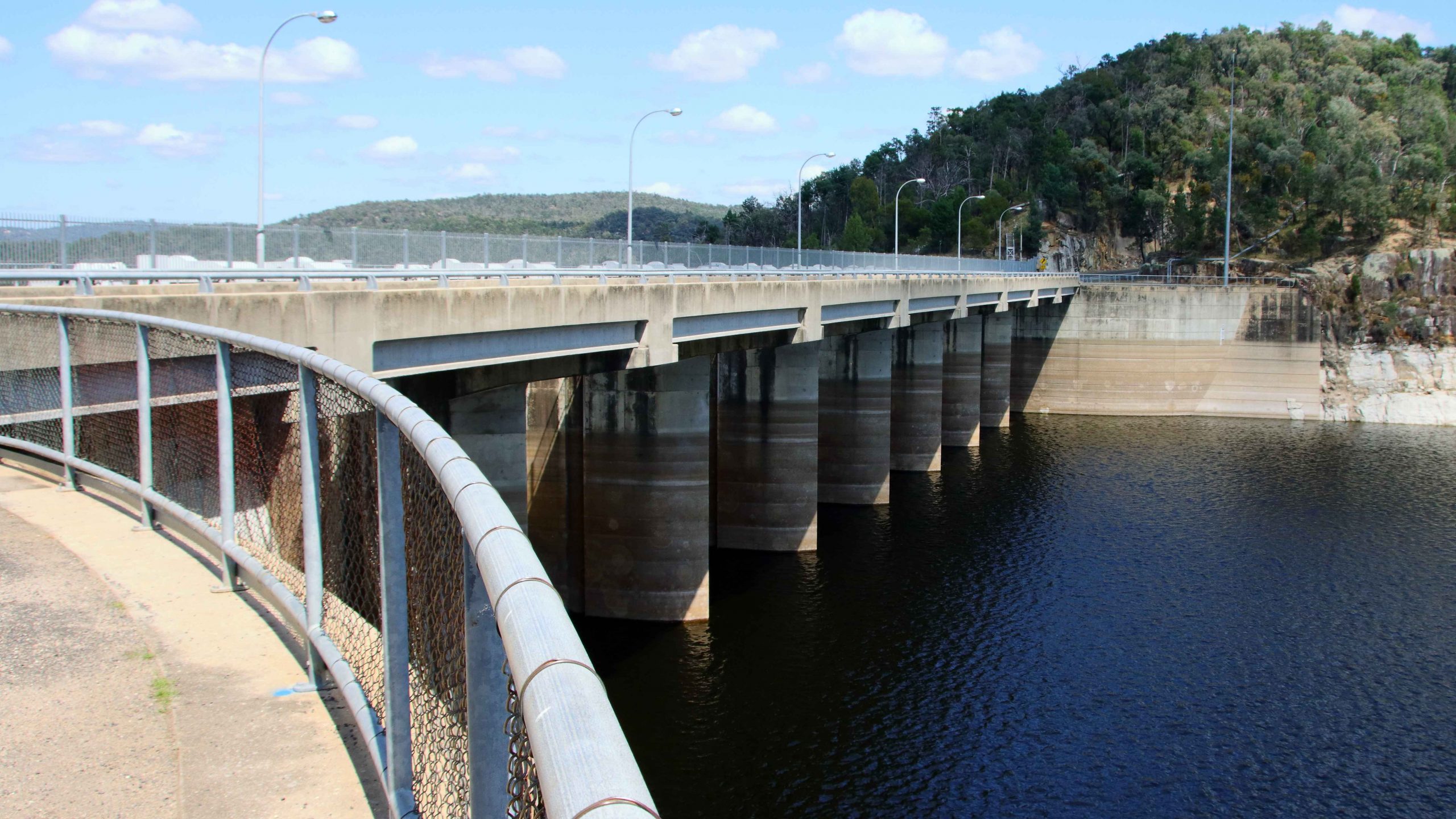
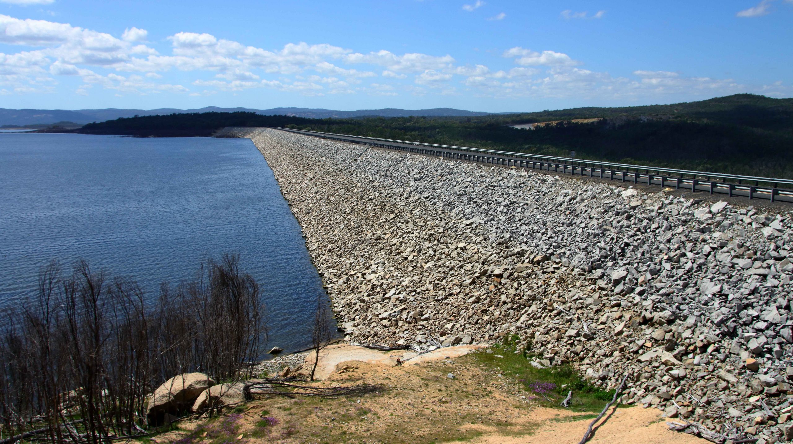
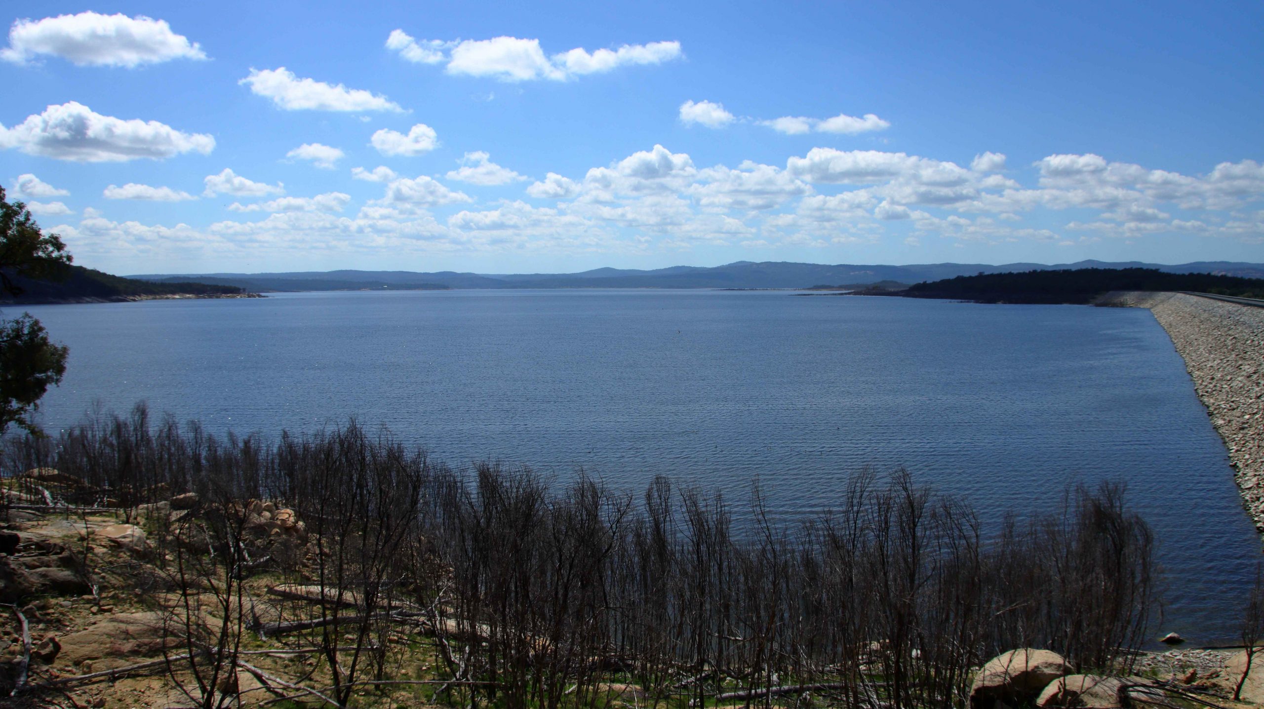
The main dam structure at Copeton.
A saddle wall over the adjoining stream greatly increases the capacity of the dam.
A view over the waters of Copeton Dam.
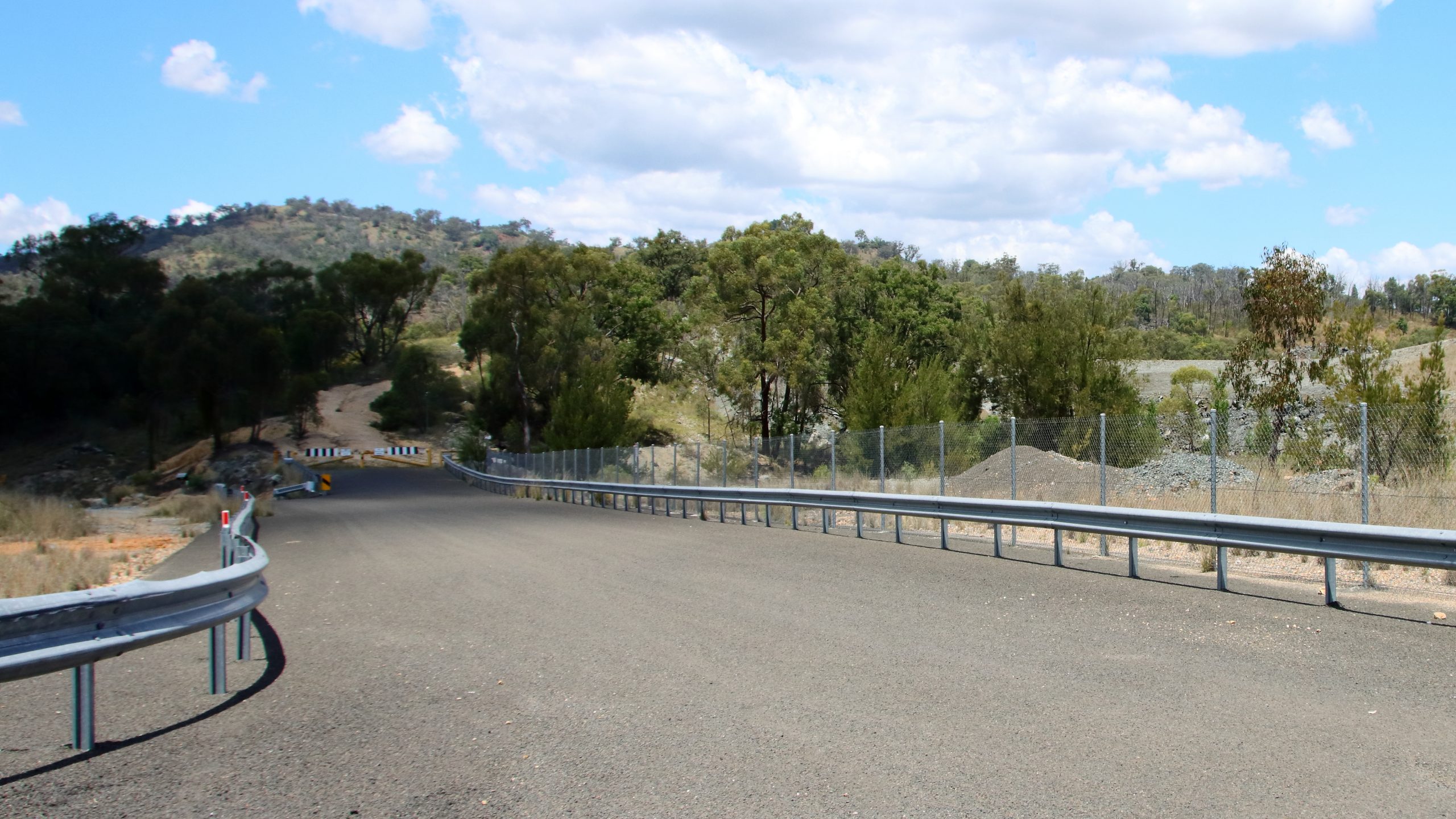
Access to Copeton Dam is not as I remembered it. An easily accessed caravan park that I recalled on the shores of the dam is now behind a steel security fence. I am not sure if it was open, as there did not seem to be much activity. We drove on to Bingara for a coffee break. Our previous call at this attractive town was probably ten years ago. Bingara is also on the Gwyder River.
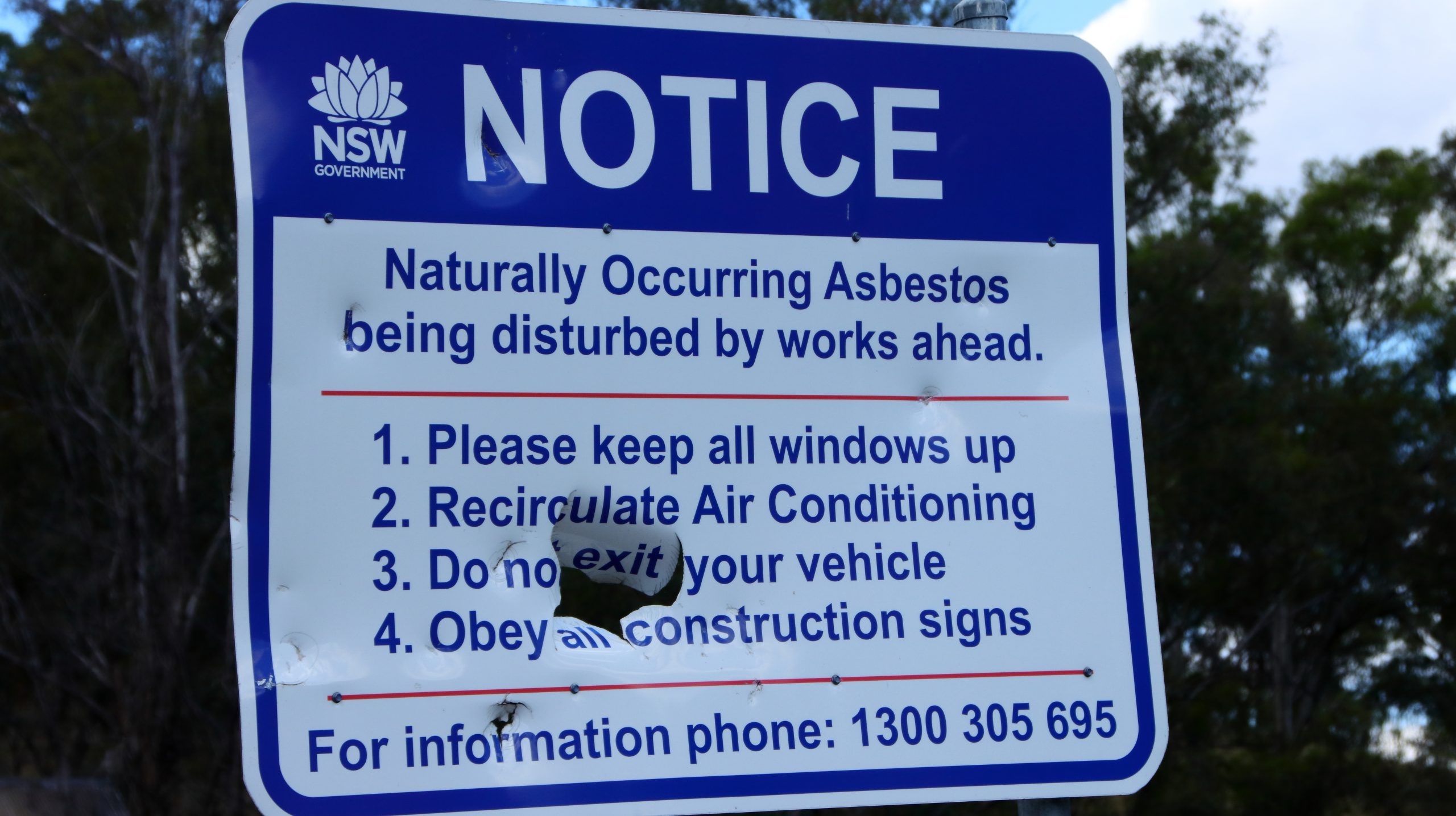
The barricaded entrance to the old asbestos mine
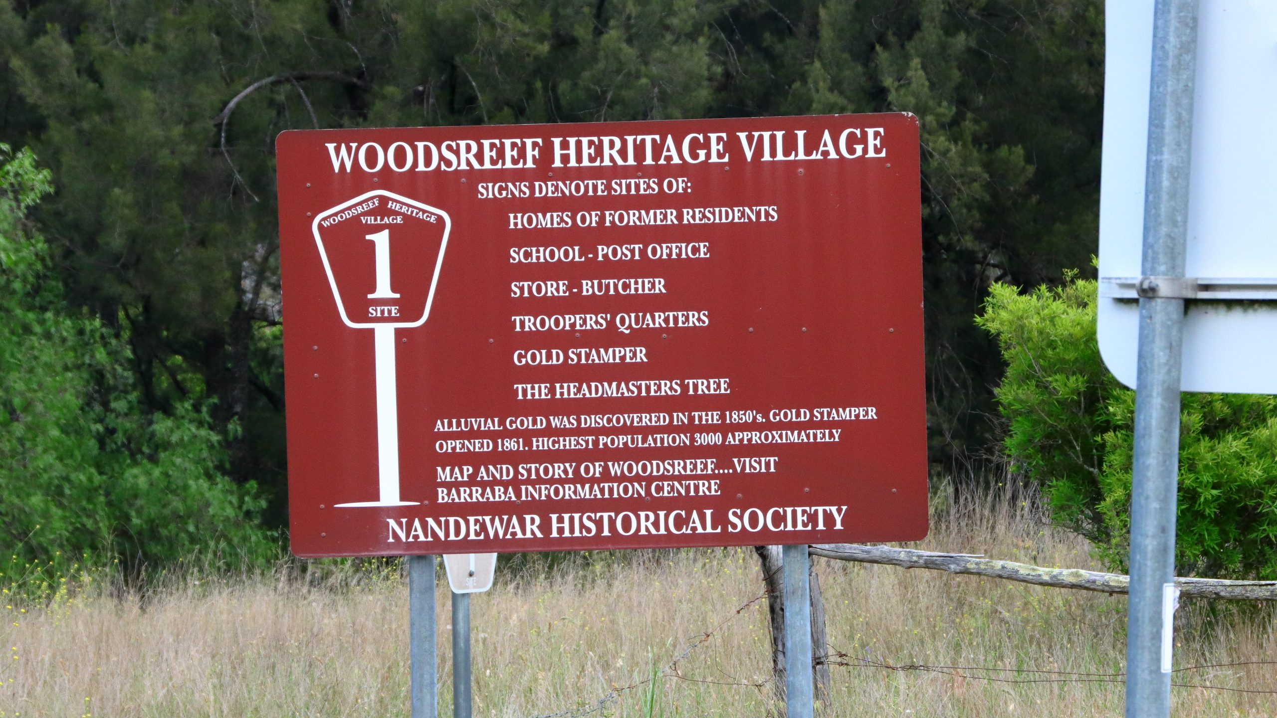
The turn off Fossickers Way onto Woods Reef Road is a couple of kilometres north of Barraba. The location of the now non-existent town of Woods Reef and the mine, is around 17 kilometres from Fossickers Way. The huge scar across a hillside came as a surprise. I had only visited the mine sight once in 1977 and mining continued for another nine years after that.
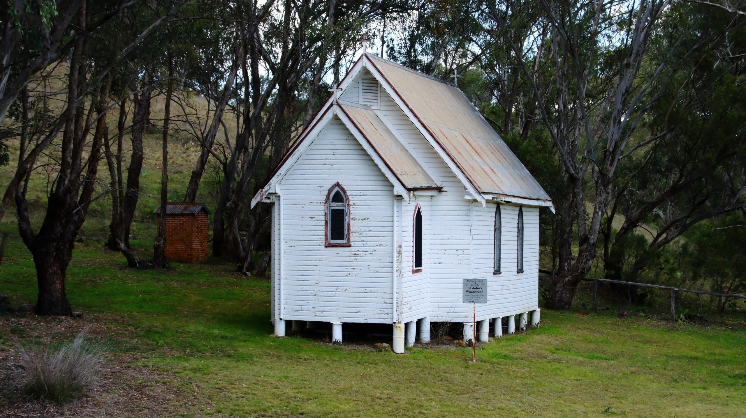
St Luke’s Anglican Church is all that remains of the town of Woods Reef.
What I didn’t know until we visited the site was that Woods Reef had formally been a gold mining town. Gold was discovered in the late 1850s and a fully functioning village sprung up with the required support facilities. At its peak there were about 3,000 residents. But gold ran out in the late 1860s and the village disappeared. At some later time, a historical trail was established. It may still have been accessible at the time of my visit, but the asbestos scare would have killed it stone dead. But signs and a locked gate remain. So does St Locke’s Anglican Church which clearly has had more recent use.
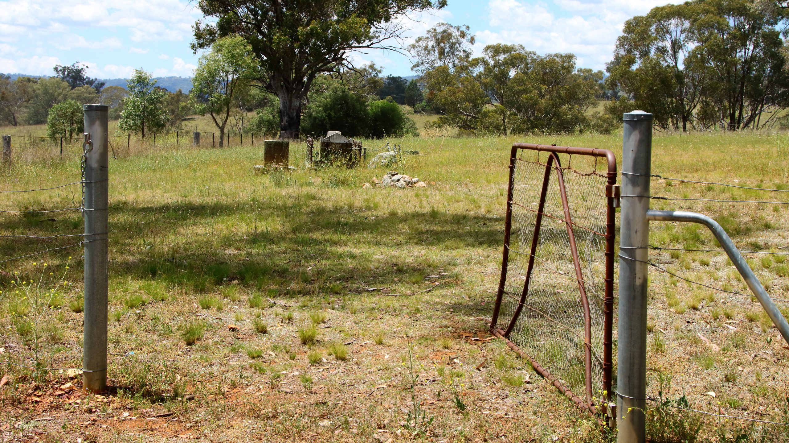
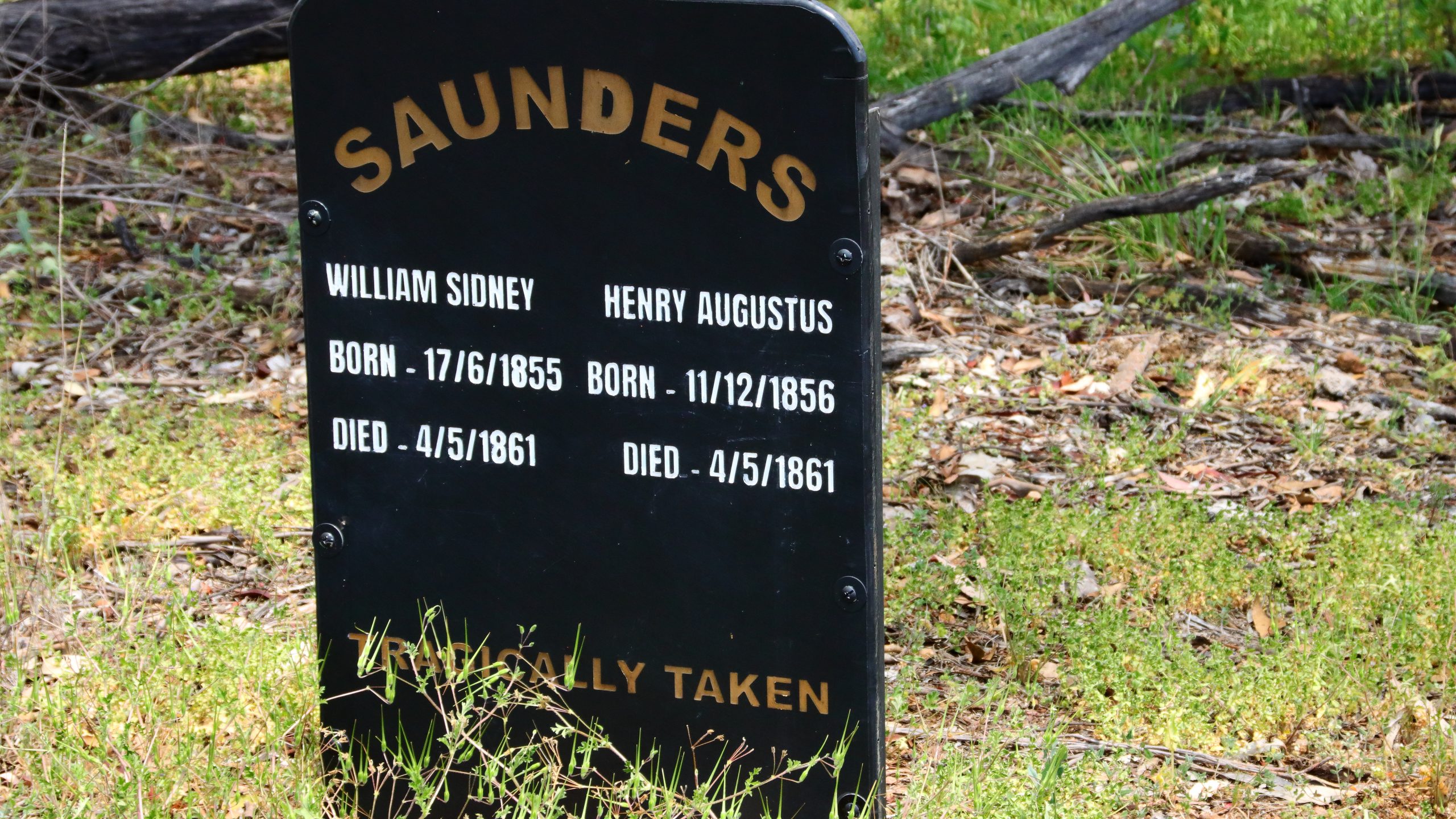
We drove into the historic cemetery and photographed some isolated graves. The gate was open, as if expecting visitors or a funeral.
OPen cemetery gates
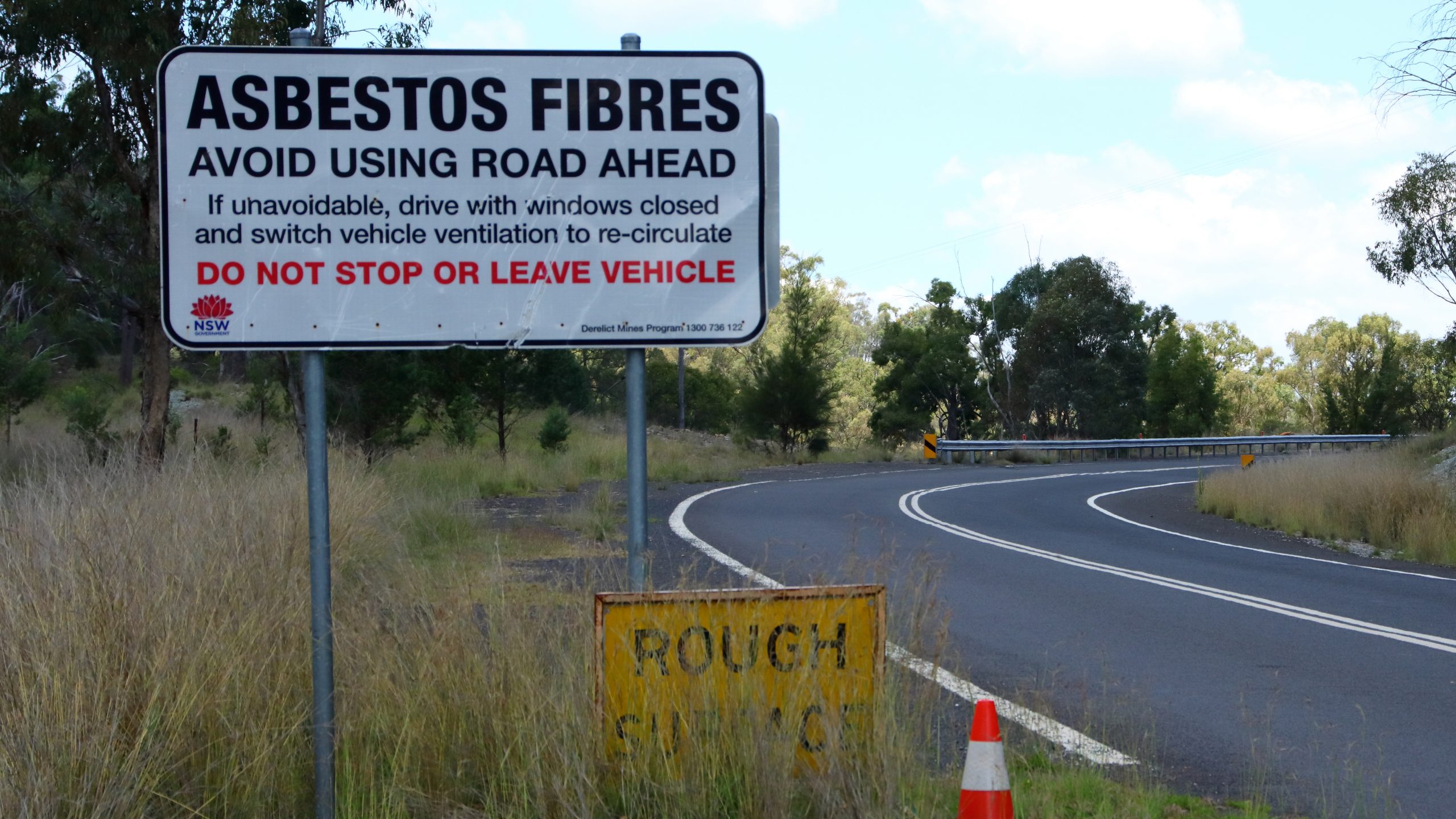
The mine is fenced and the access roads obstructed with piles of dirt. Warning signs have been placed beside the road but are now showing signs of weathering and other damage.
Roadside asbestosis warning sign.
The sign appears to have been a target for someone.
A sign remaining from the days of walking tours through the old village.
We stopped for lunch in Barraba. I remember hearing about a verbal altercation between a local farmer and a mine manager. The farmer was objecting to the mine activity. The mine manager told him that but for the mine tumble weed world be blowing down the main street. There was no sign of tumble weed but, Barraba is now a very sleepy town.
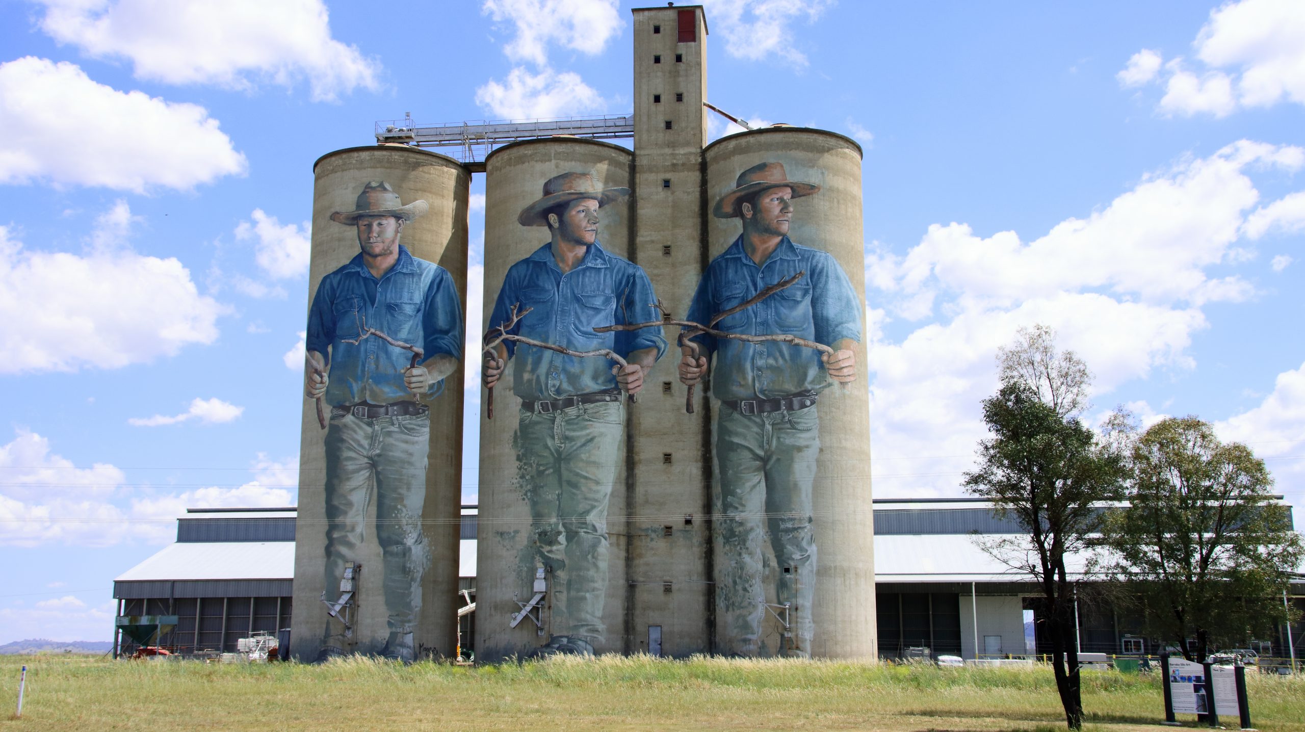
Silo art south of Barraba.
We journeyed on to Newcastle for the night, visiting relatives in Toronto and West Wallsend the following day. We drove on to Cronulla on Friday afternoon. On Saturday we did a tour to Bowral in the Southern Highlands and Mount Annan near Campbelltown, to catch Ruth’s brother and a sister. On Sunday our daughter came from Erskineville to join us for lunch. She provided some detail about her recent six-week trip to Europe. She has inherited my itchy feet.
We woke early on Thursday morning, as daylight flooded into our bedroom. I arose to greet the morning and to photograph the sunrise. Out on the horizon was an inbound cruise ship, sister ship to the boat in port yesterday.
As sunrises go, this one’s a bit disappointing
There was little cloud, so no early indication of where the sun would rise. I waited well beyond the published time of sunrise and then realised that old Sol was coming up right behind the highest mountain peak opposite to Airlie Beach. So, there was no brilliantly coloured sunrise to photograph.
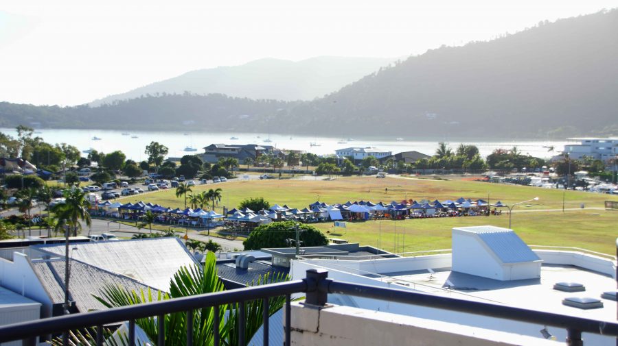
Our view towards the ocean with the cruise day markets in the open space
In the open area between the town and Port of Airlie, a market was taking shape. I assume that it is there for the additional visitors that the cruise ships bring to town. Even with the extra numbers, the town did not seem all that busy. But I guess many of the day visitors were doing things among the islands or on the reef.
Coffee was on offer here but there was no seating or view
Around mid-morning we went out looking for coffee and headed towards Cannonvale, hoping for a water view. The only place that fitted our specifications was crowded. I took a walk along the Bicentennial Walking Track to build my days step count. We then went back to the town area of Airlie Beach where we achieved our coffee location objectives.
A small residential enclave at Cannonvale
Part of the Bicentennial waterside walking track
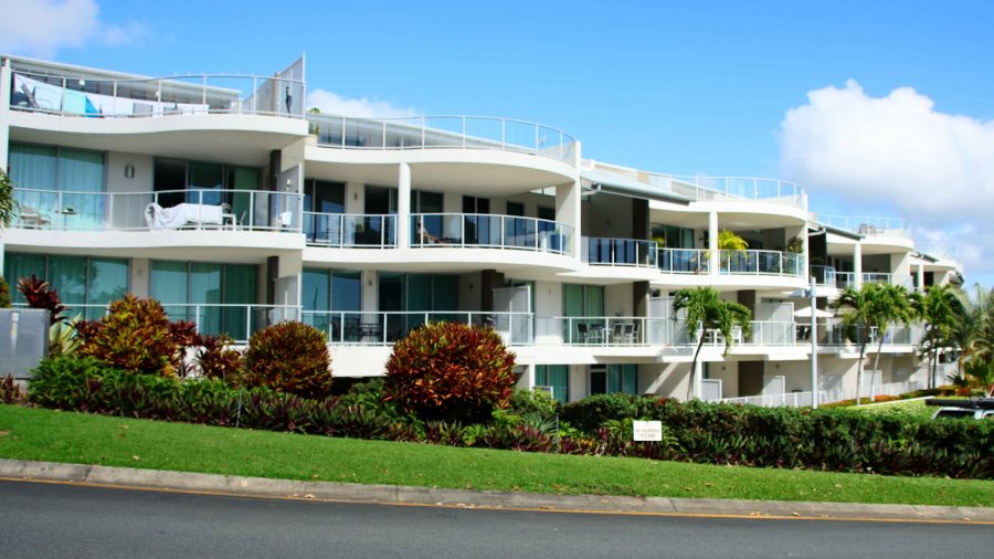
Marina Shores apartments neat the Airlie Beach boat harbour
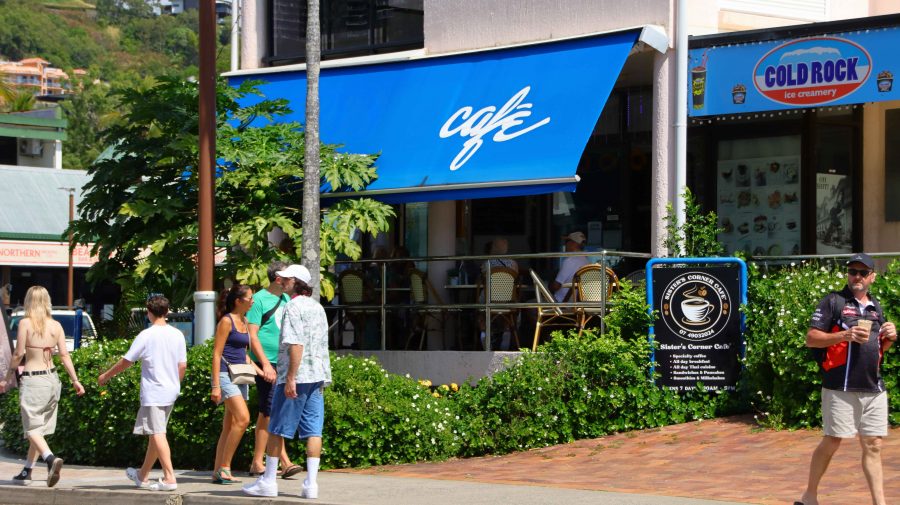
Our eventual coffee venu in Airlie Beach
The man who took our coffee order asked if we were off the cruise ship. That lead to a discussion during which he told us that he was a retired charter skipper, so we talked Whitsunday Islands and cruising for a few minutes. As a retired recreational sailor myself and having chartered a catamaran in the Whitsundays with a group, this was something of a reminiscence, bringing back pleasant memories.
Our Airlie Beach stop was for two nights, for a bit of a break. We did not have a fixed program. We looked around at familiar sights, then returned to our unit to enjoy the view, lunch and a sleep, in that order.
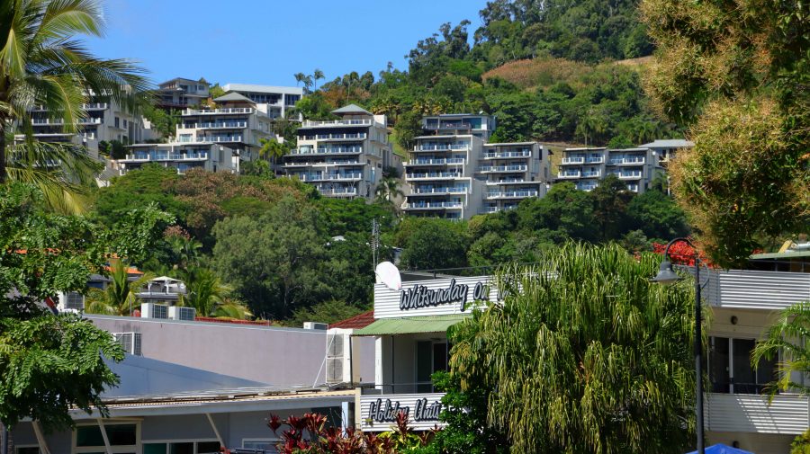
Hillside residential has views that bring visitors back
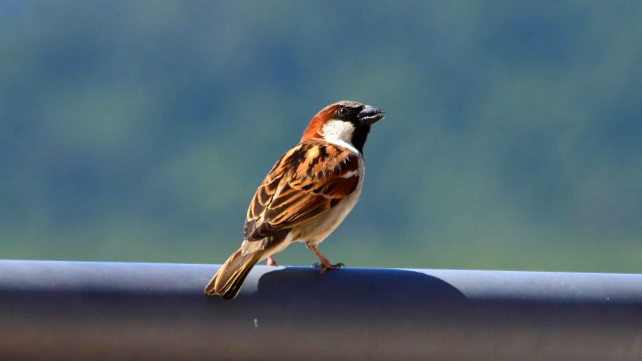
A House Sparrow briefly alighted on our balcony rail
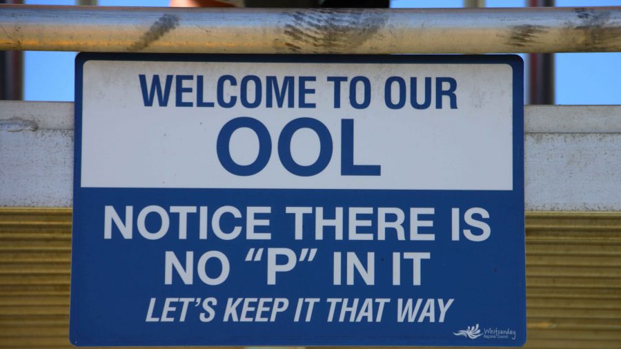
Tongue-in-Cheek sign at the Airlie pool
Ruth seated in part of the bar dining area at Northerlies Bar
Suitably rested, we drove out through Cannonvale to Woodwark to check out Northerlies, a large pub and bistro that provides magnificent views back to Airlie Beach. Too soon to eat again, we made do with one drink and returned to our unit for another restful evening.
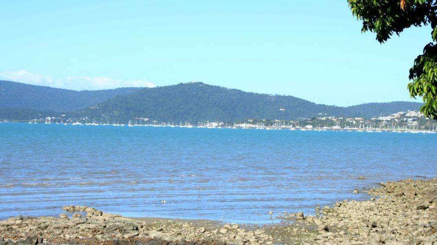
Airlie Beach from Northerlies at Cannonvale
There had been speculation about morning fog at Cannonvale on the evening news. Airlie was clear and almost cloudless as we checked out, but heavy banks of fog blanketed most of Cannonvale but only effected the road in a couple of places.
A mostly deserted Kinka Beach
Yeppoon, on the coast near Rockhampton, was our destination for the day. There is a good rest stop at Waverley Creek, north of Marlborough, that we have used for years. Once again, we stopped there for lunch. A fellow traveller stopped by to tell us of an explosion that had closed the highway south of Gladstone. We were not going that far on this day, so we paid little attention and continued on to Yeppoon and then Kinka Beach for the night.
A small sample of the Magpie Geese in the swamp at Emu Park
After booking in to our motel, we drove to nearby Emu Park for supplies. I noticed some Magpie Geese beside the road on the way in. On our return we stopped to have a closer look, The geese had taken over a large area of swamp with heads poking out of the reeds. Hundreds of them.
Later, on the evening news, we heard all about the explosion and learned that the highway would be closed for several days. The explosion had been caused by a double road train carrying a full load of Ammonium Nitrate, the explosive used in the coal mines inland from the coast. The explosive had become mixed with diesel from the prime mover and did exactly what it was designed to do. BOOM.
On Saturday morning, when we reached South Rockhampton, signs confirmed Highway closure near Bororen, south of Gladstone. A section of two-lane highway had been demolished. No traffic could pass.
We considered back roads to take us to our next accommodation at Bargara, on the coast near Bundaberg. Finally, we decided to make directly for home. Our new route led through Mount Morgan, Biloela, Monto and Mundubbera, returning to the Bruce highway at Gympie, less than 150 km from home.
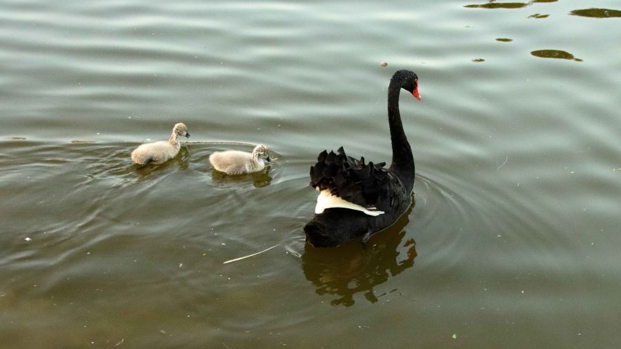
Swan and Cygnets at Lake Alford, Gympie
Weekend traffic meant fewer large trucks. The section of the road between Dululu and Biloela was undergoing extensive repairs necessitated by recent high rainfall. We were stopped at red lights for roadwork probably between fifteen and twenty times. Despite such interruptions we were making good time. We stopped at Biloela for a refuelling break for the car and ourselves and for a late lunch break at the road junction at Ban Ban Springs, east of Gayndah.
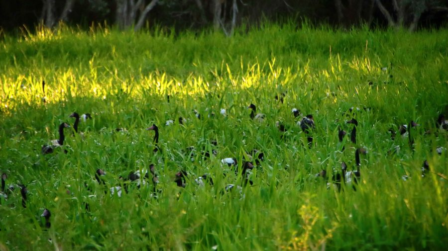
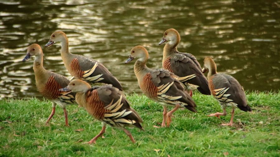
A flock of Plumed Whistling Ducks
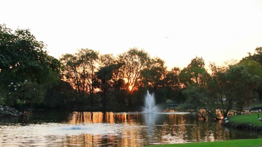
Then, at Gympie, we took a final break at Lake Alford, the rest area just south of the town. The lake is a water bird sanctuary. I fitted the birding lens to my camera and took a stroll. The sun was about to set and the birds were active as they so often are at the end of the day. The result was some good bird photos and shots of the setting sun and afterglow, for good measure.
It was an easy run from there on divided highway all the way to our turn from the highway at Burpengary.
Dusk at Lake Alford, Gympie
Now in our mid-eighties and with Ruth’s mobility issues we have handled this trip quite well, we think. Well enough to have our next trip planned. Late in October we intend to go south again, to meet relatives and see more of this wonderful country in which we live.