Far North Queensland 2024 – Days 3 to 5 – Rockhampton to Cairns.

Area near the river and CBD in Rockhampton

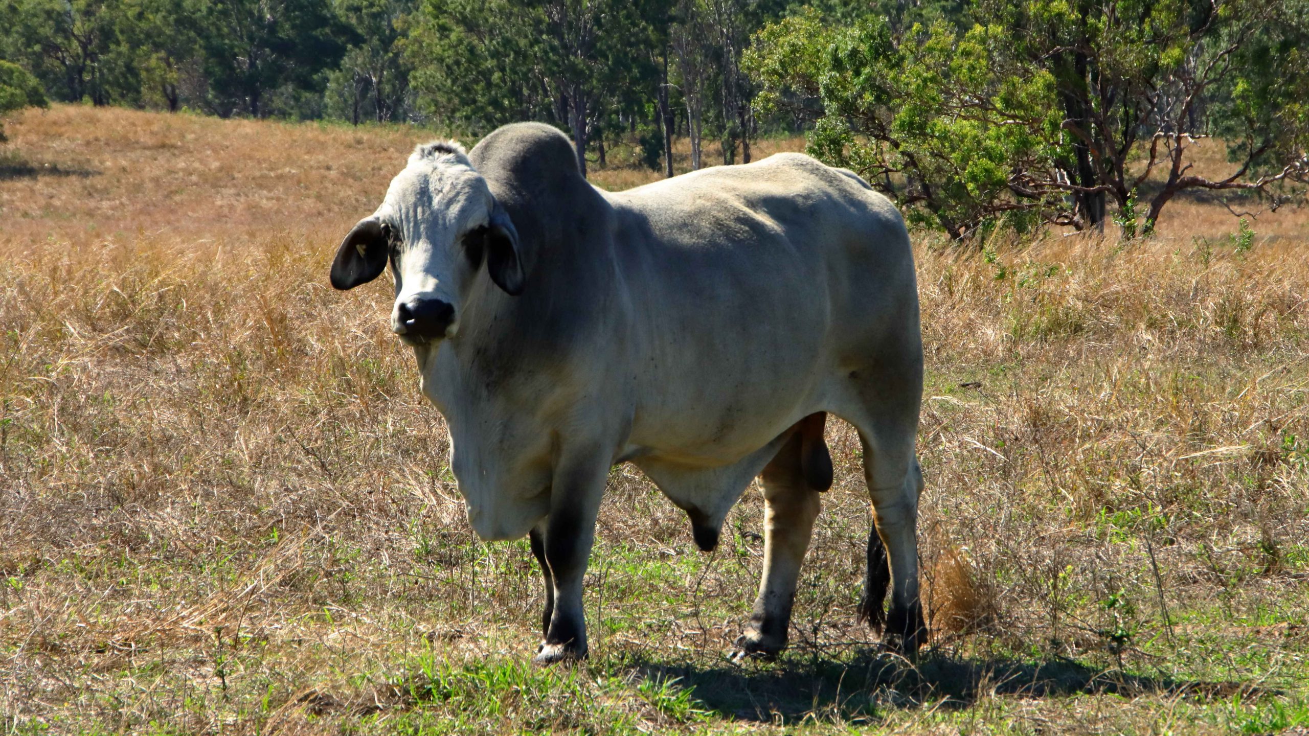
In the days before we set off for Far North Queensland, my Facebook news feed had regularly thrown up tourism advertisements from Rockhampton tourist authorities promoting the magnificent views available from the lookout at Mount Archer and a tree top walk on the same mountain top. That all sounded good, so after a short drive along the banks of the Fitzroy River on the South side, we crossed the river and took the road to Mount Archer.

Much of the mountain is a national park, the boundaries of which commence at the bottom of the hill. Like most national parks the roads have a 40-kph speed limit. We were immediately behind a tourist bus which was climbing the mountain at 20-kph. The road is very winding but after a while the bus driver signalled us past and we were able to return to the speed limit.

A limited view of the Fitzroy River from Mount Archer
Rockhampton from the neighbouring residential area
Parkland by the river near Rockhampton CBD

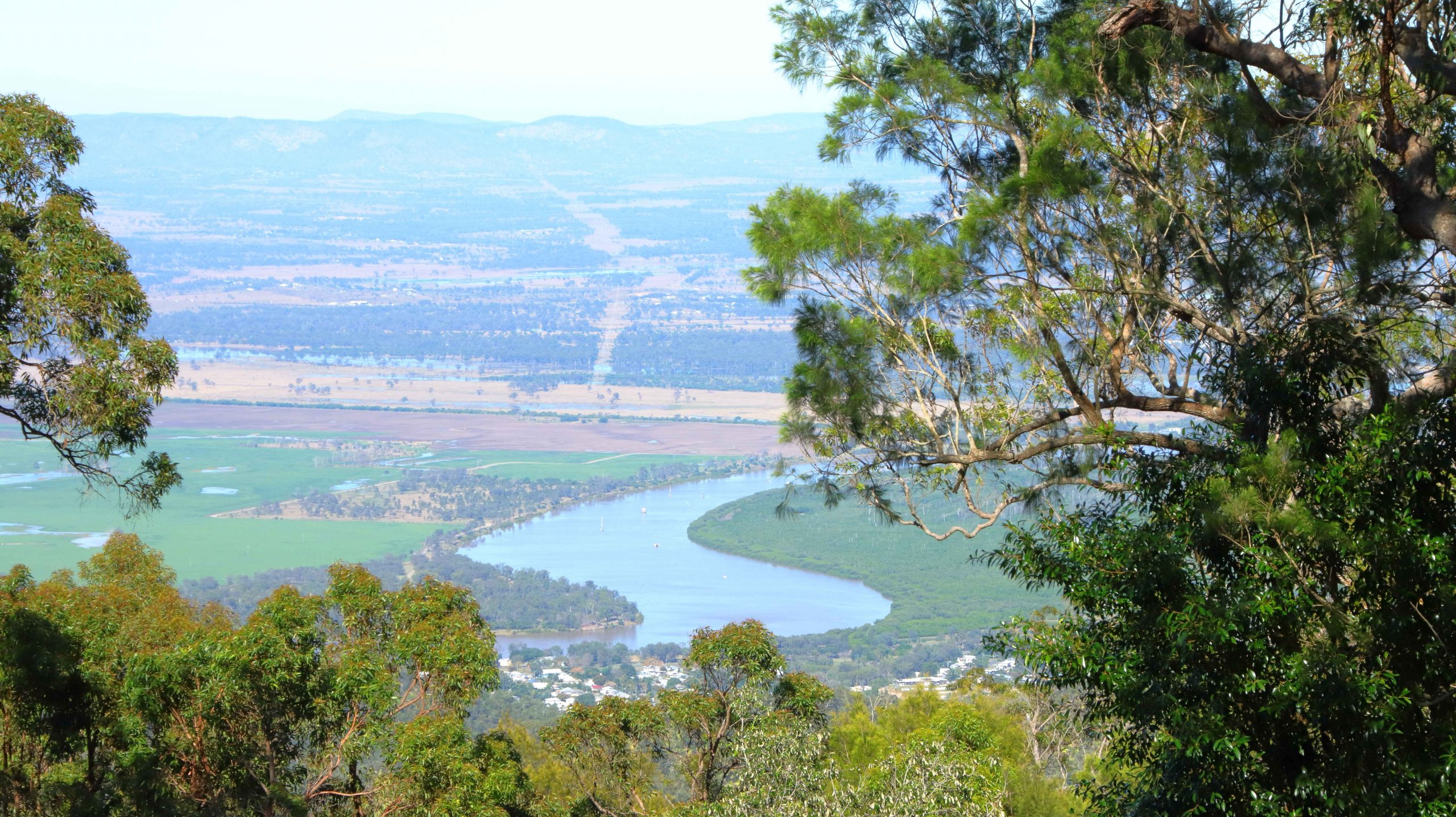
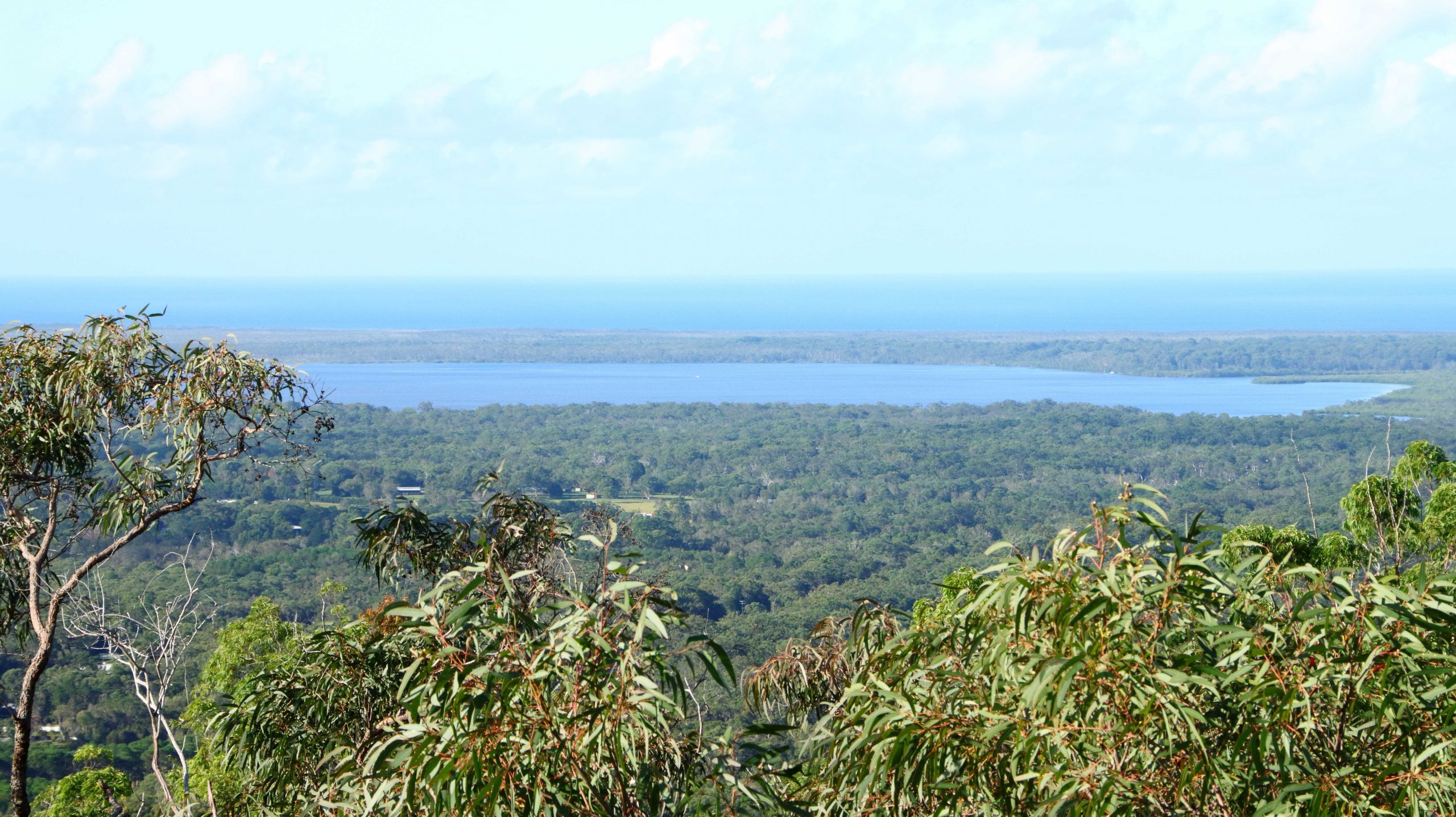
We reached the summit, but what a disappointment! When the lookout was first built the views probably were spectacular. But it seems that the influence of Green councillors has precluded trimming of the trees, to the point where they obscure most of the view. One of our fellow visitors was lamenting that he had not brought his chain saw,

Public area at Mount Archer

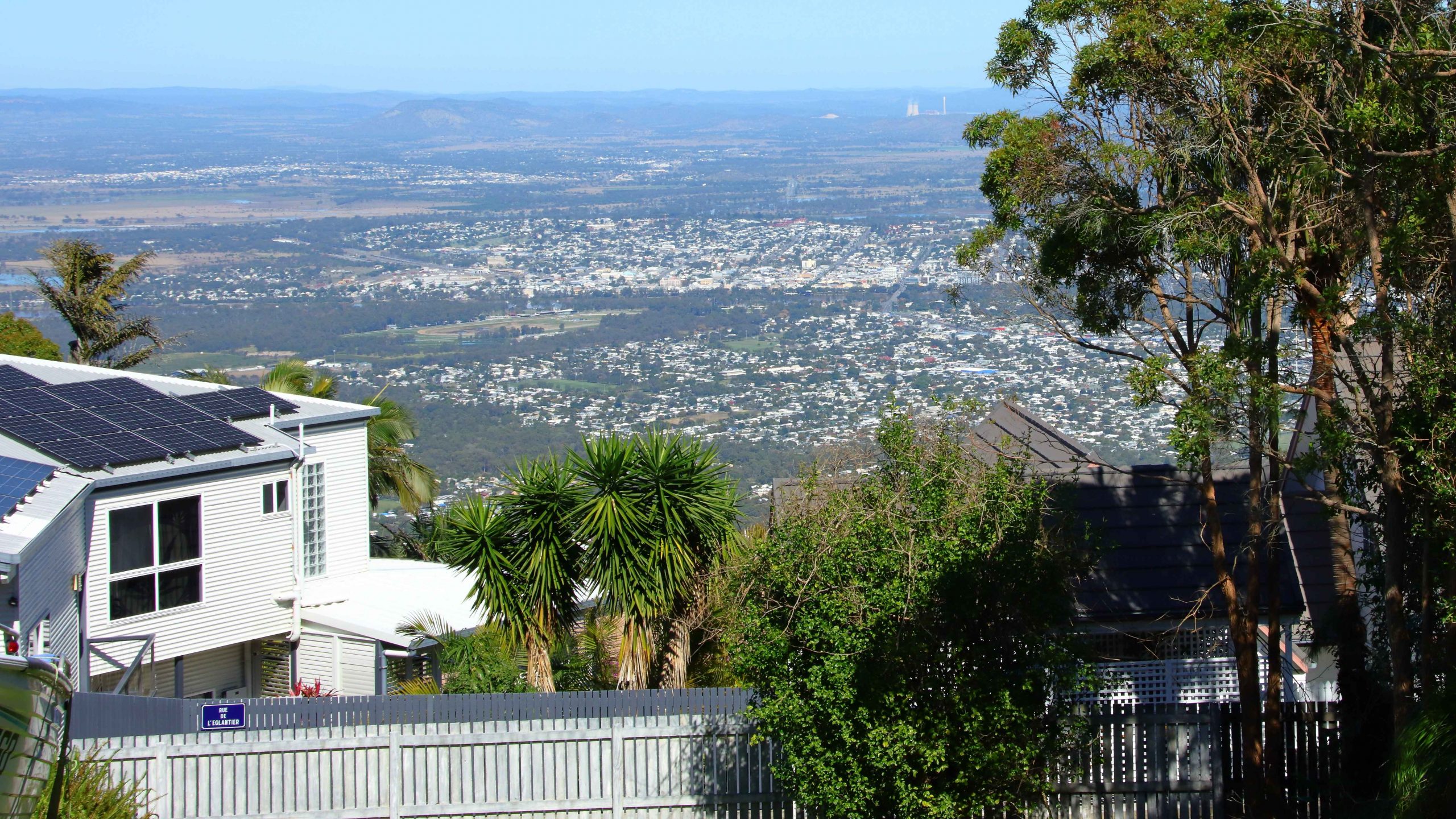
Of the treetop walk we could find no sign, nor any mention of it on the signage at the park entrance. The best views are to be had from the small area of residential development that shares the mountain top with the national park and enjoys permanent spectacular views.

Our Bowen cabin with our car parked at the front stairs

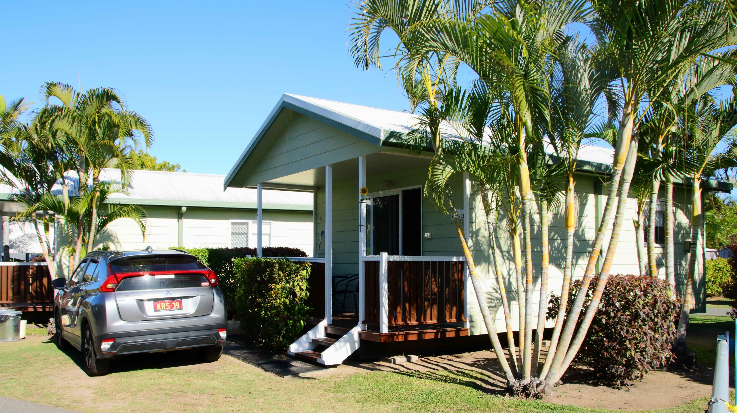
We had booked a caravan park cabin in Bowen for two nights. It was a while since we had spent much time in Bowen, which is an attractive regional centre, with some excellent tourist facilities. The cabin was in good condition, fairly new and comfortable. It was located at the Queen’s Beach Tourist Village, which was packed with grey nomads.

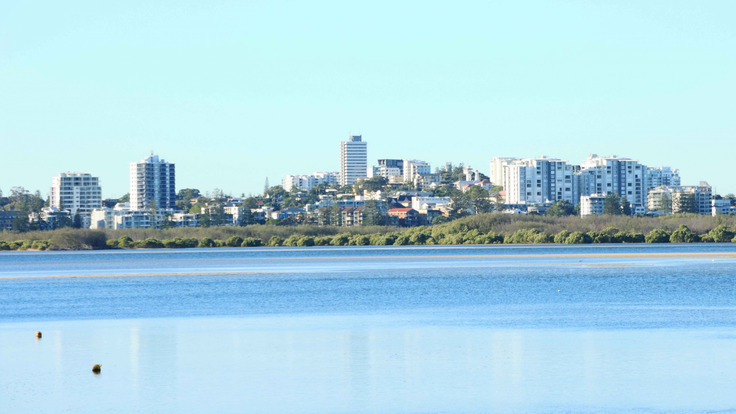
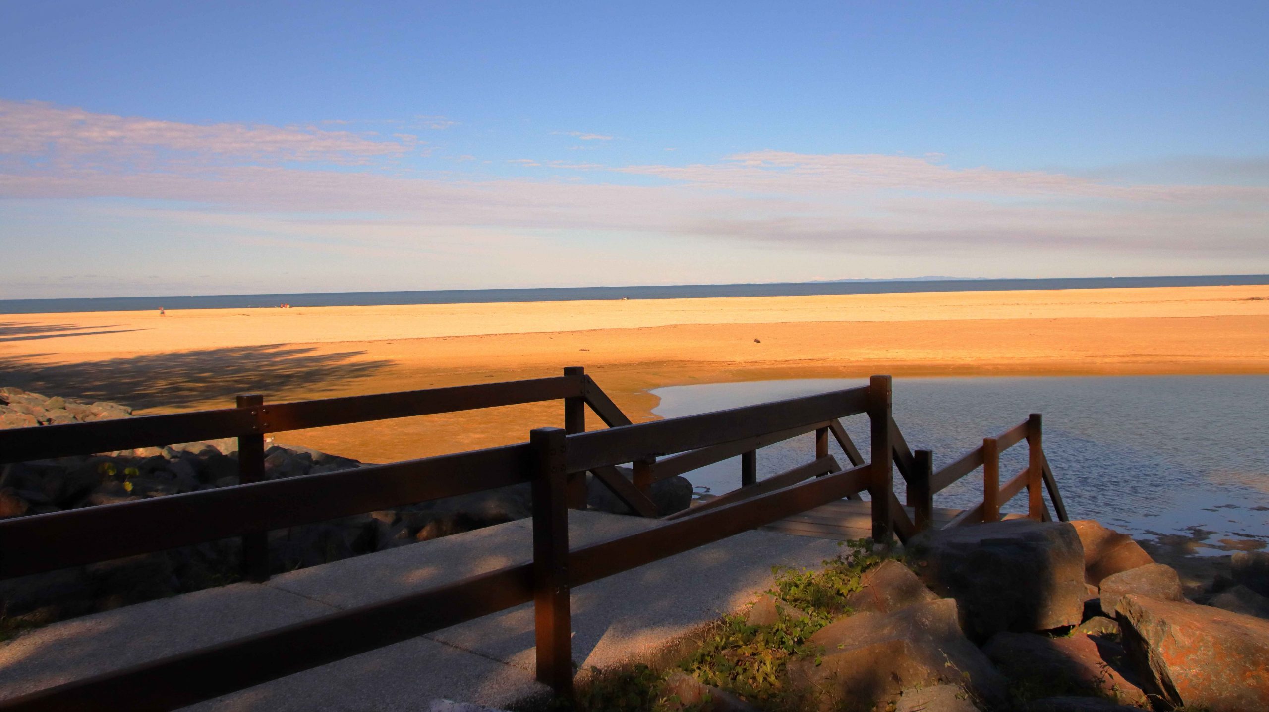
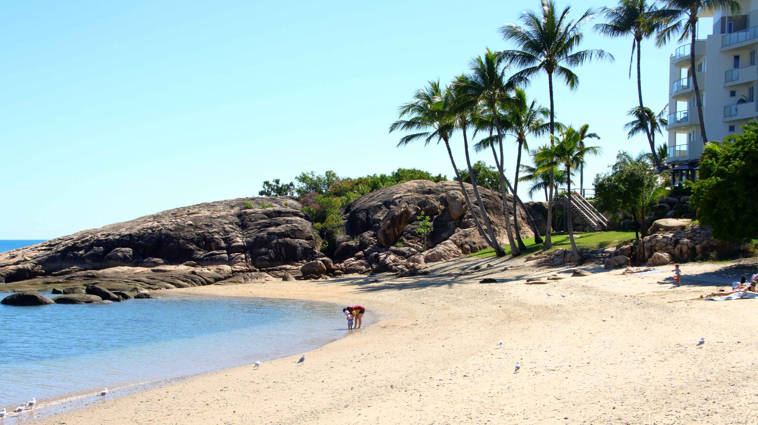
Bowen is located on a peninsula and has both a northern and southern aspect. Horseshoe Beach at the north-eastern tip provides an easterly aspect as well.

Near the mouth of the Don River
Kings Beach between Horseshoe Beach and Flagstaff Hill
Coral Cove at the North-easterly tip of the North facing beaches

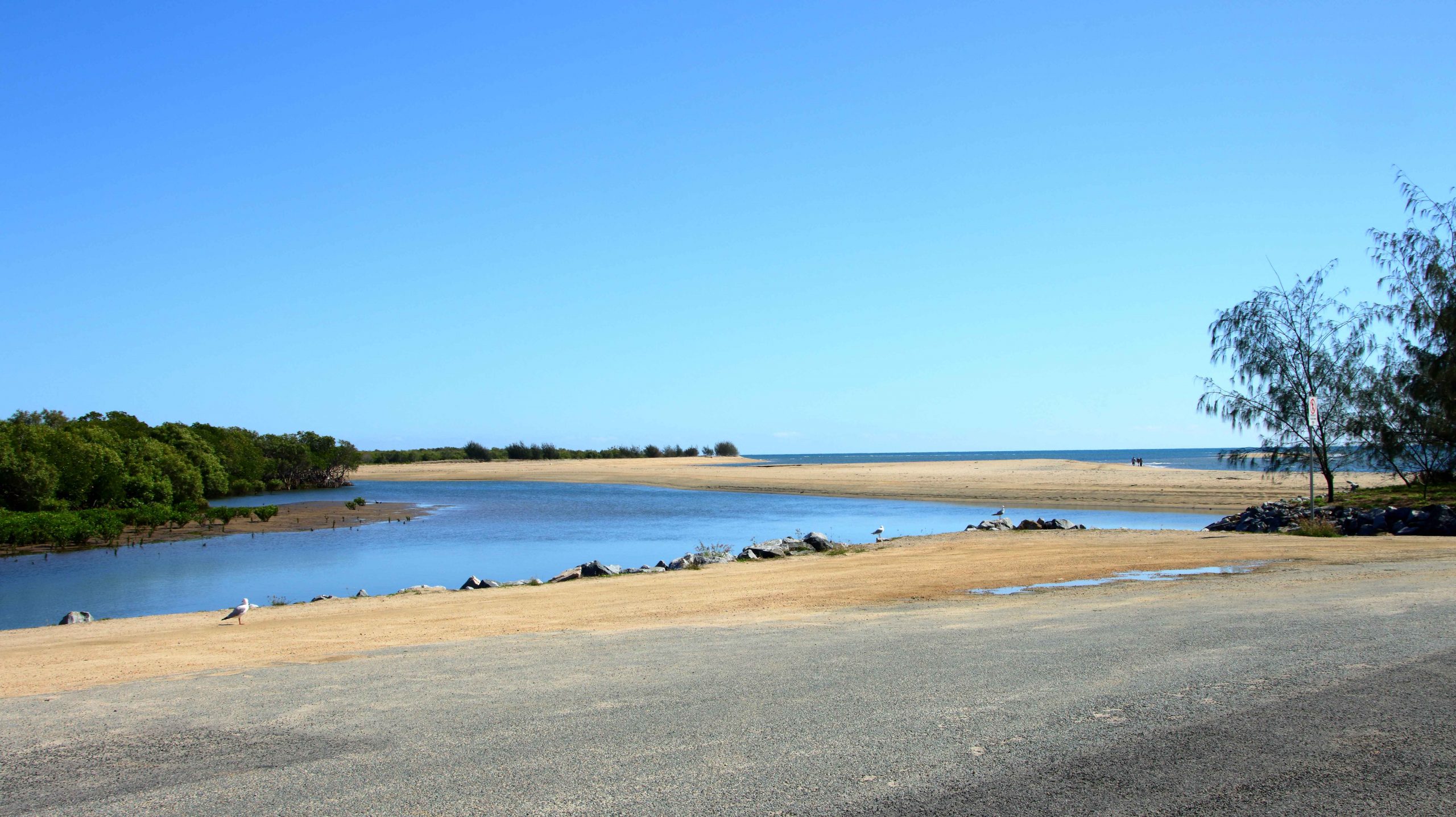
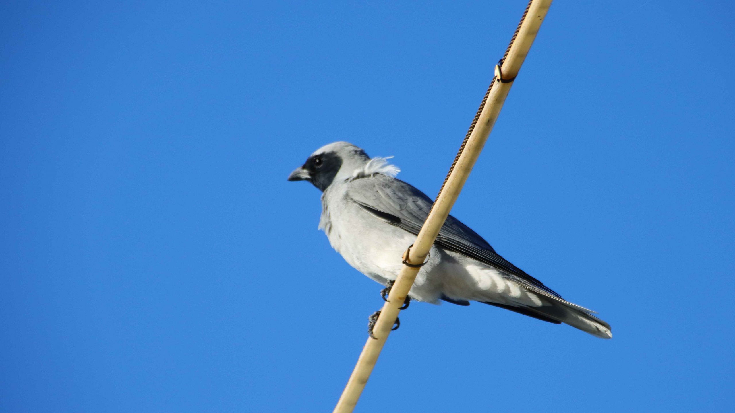
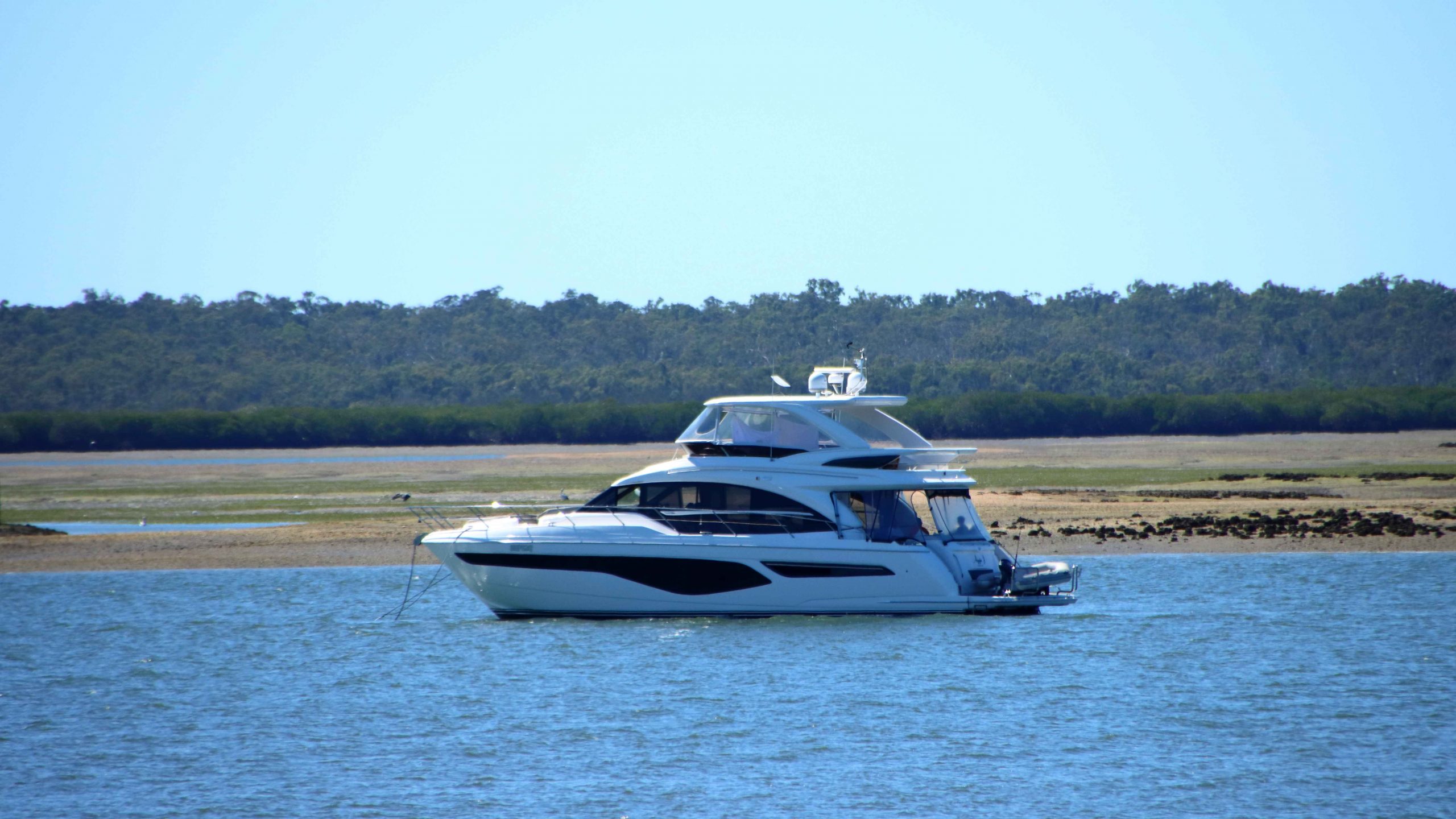
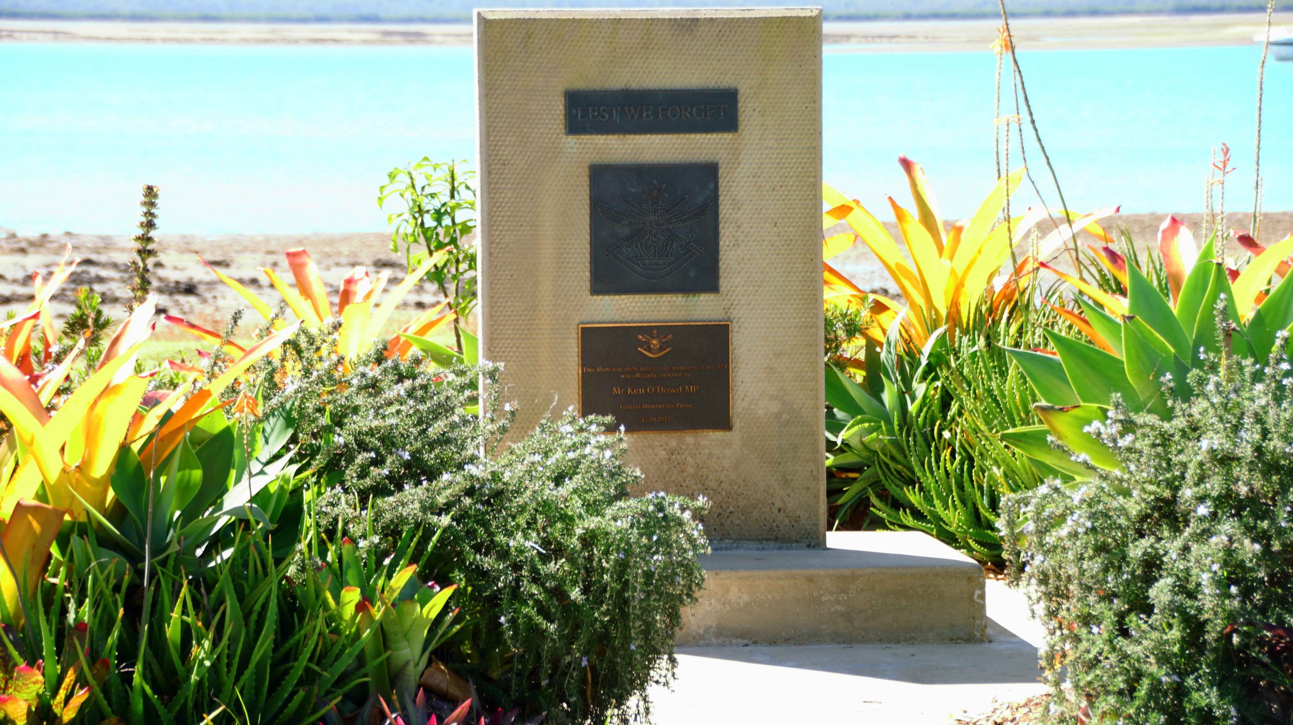
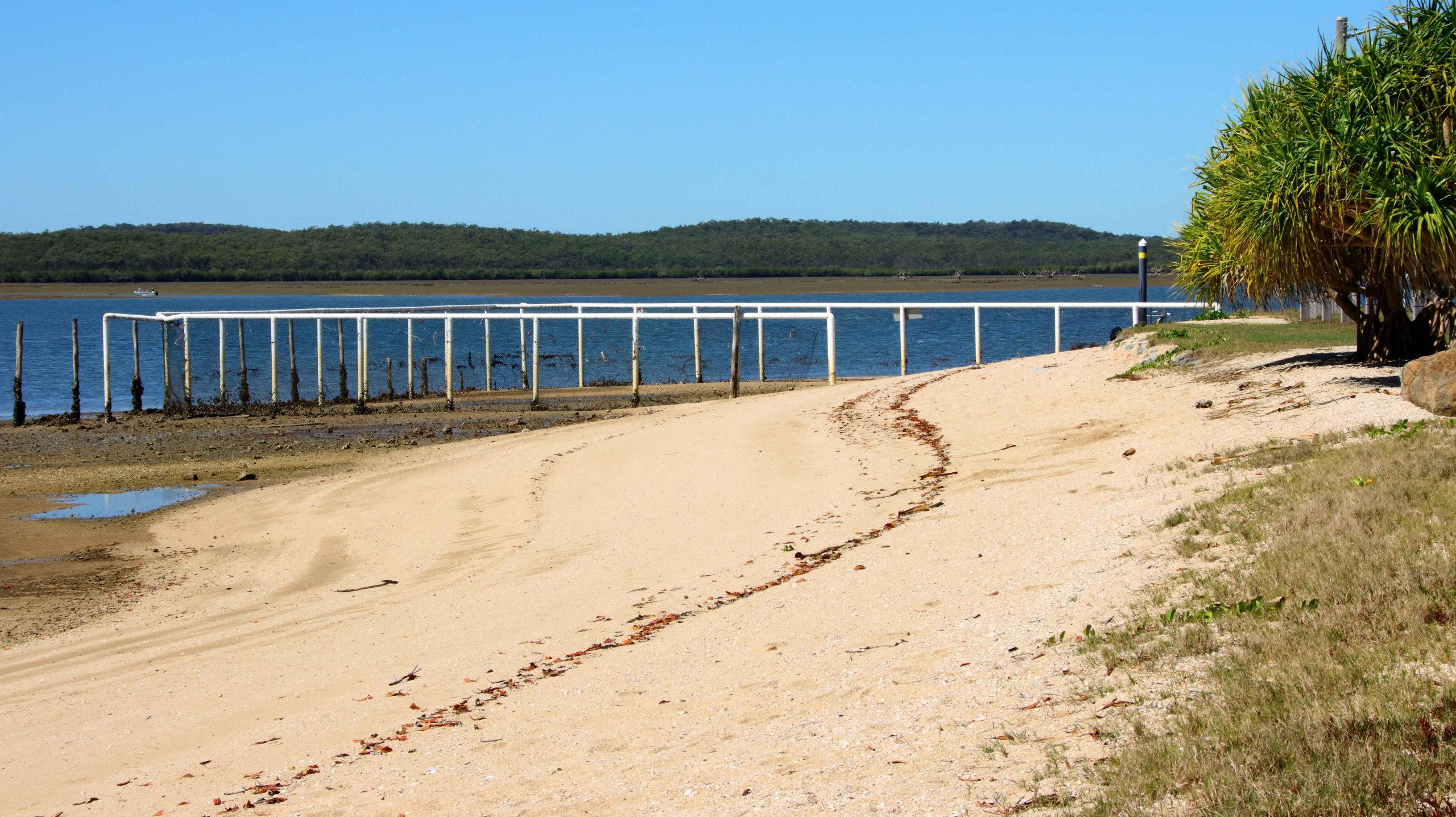
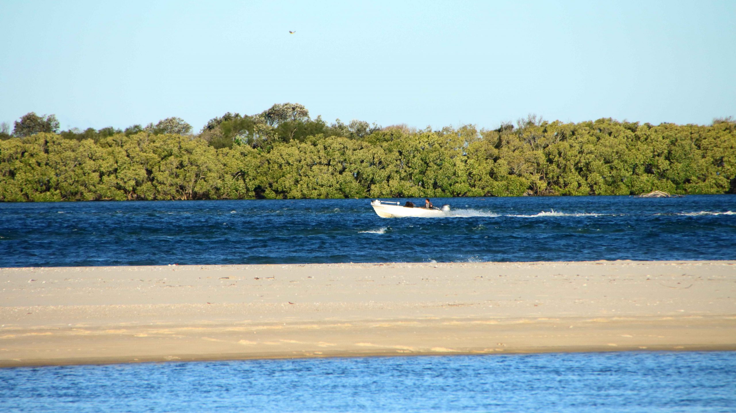
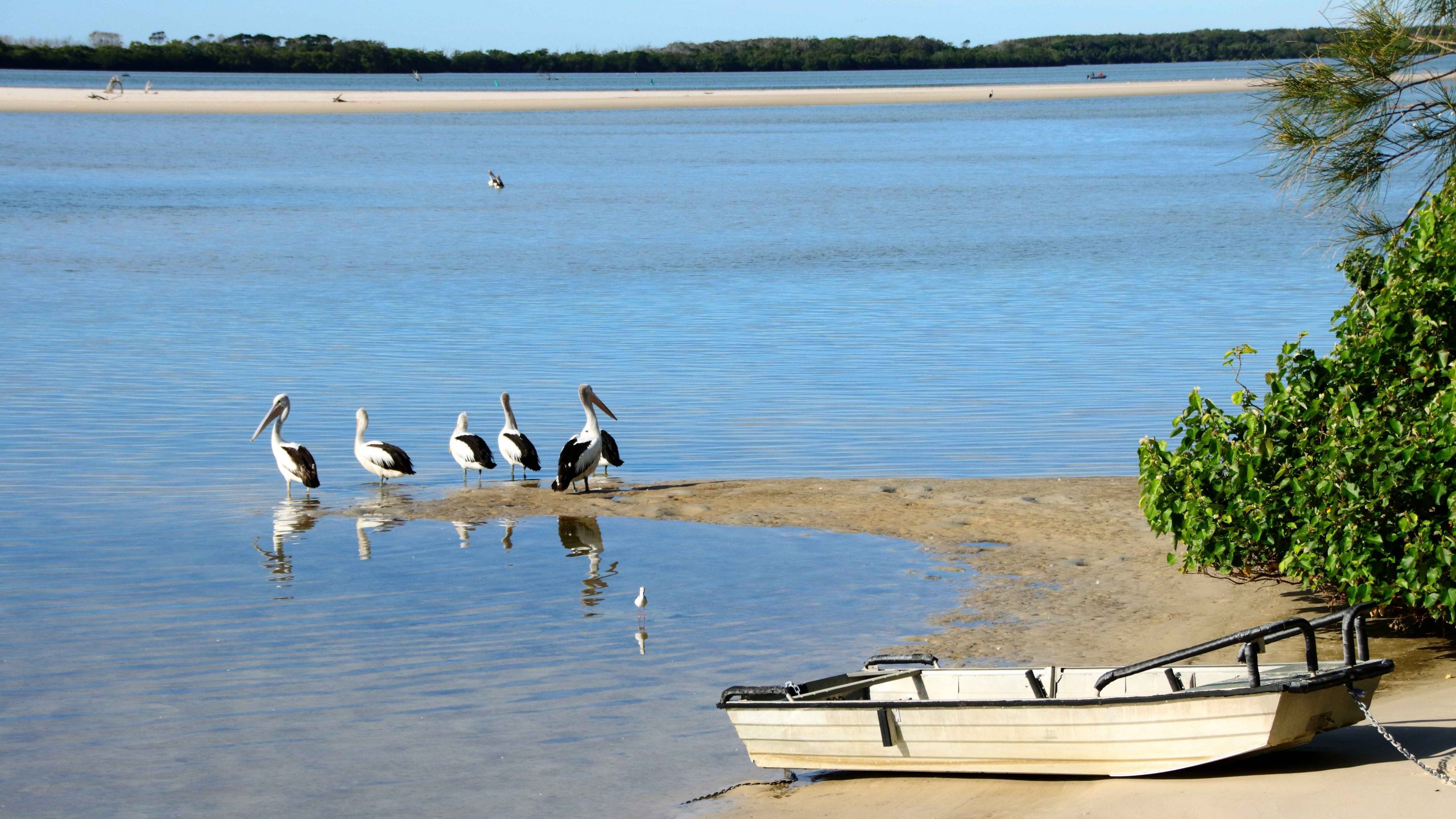
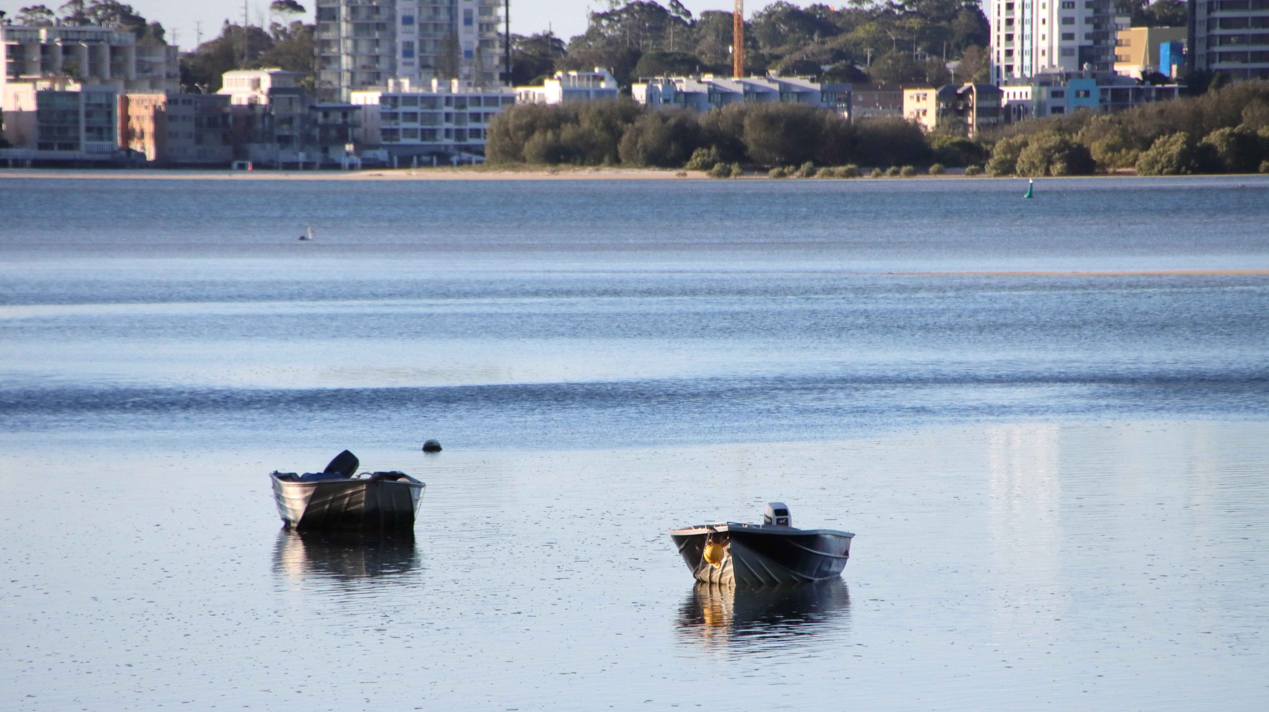
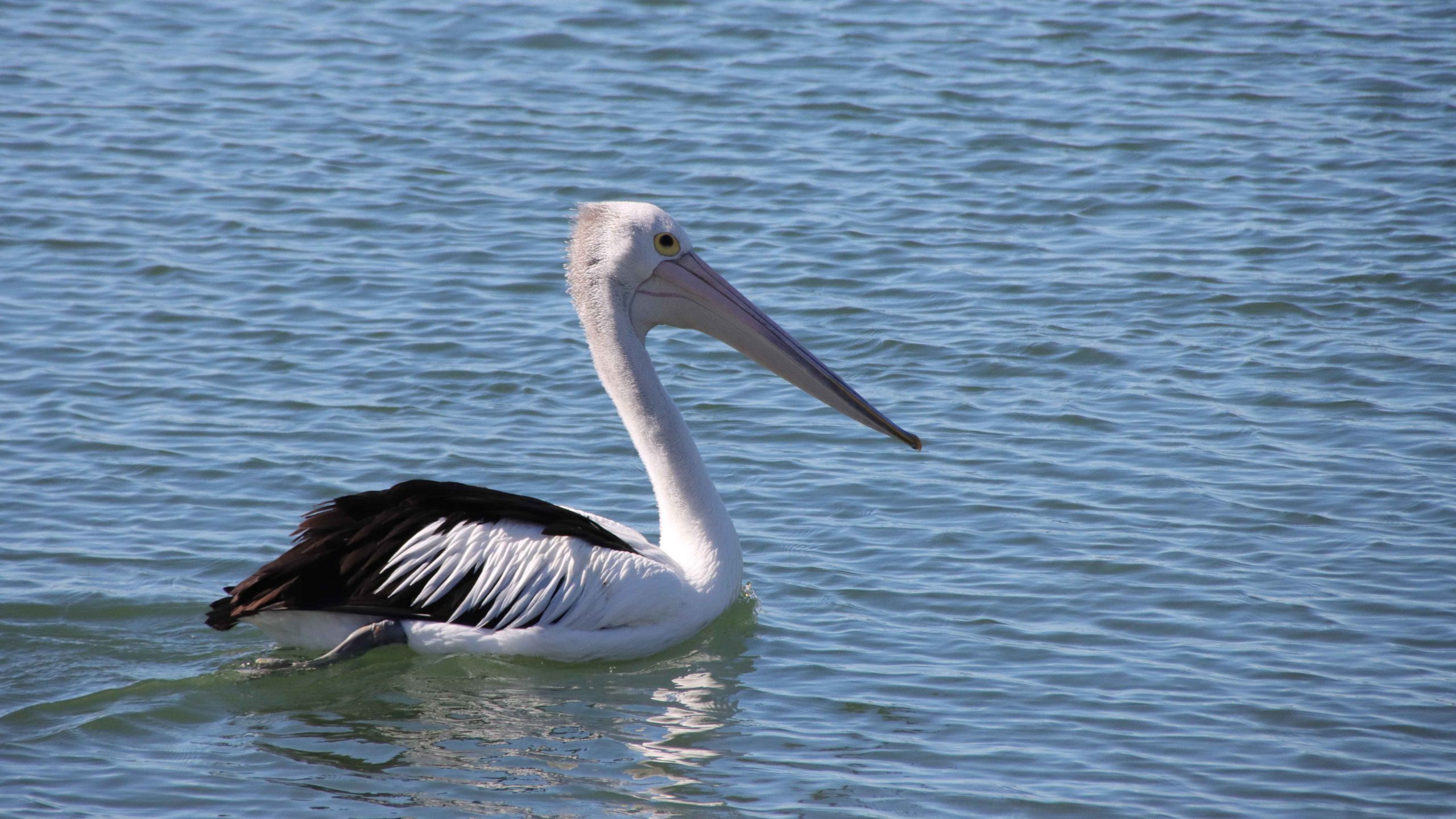
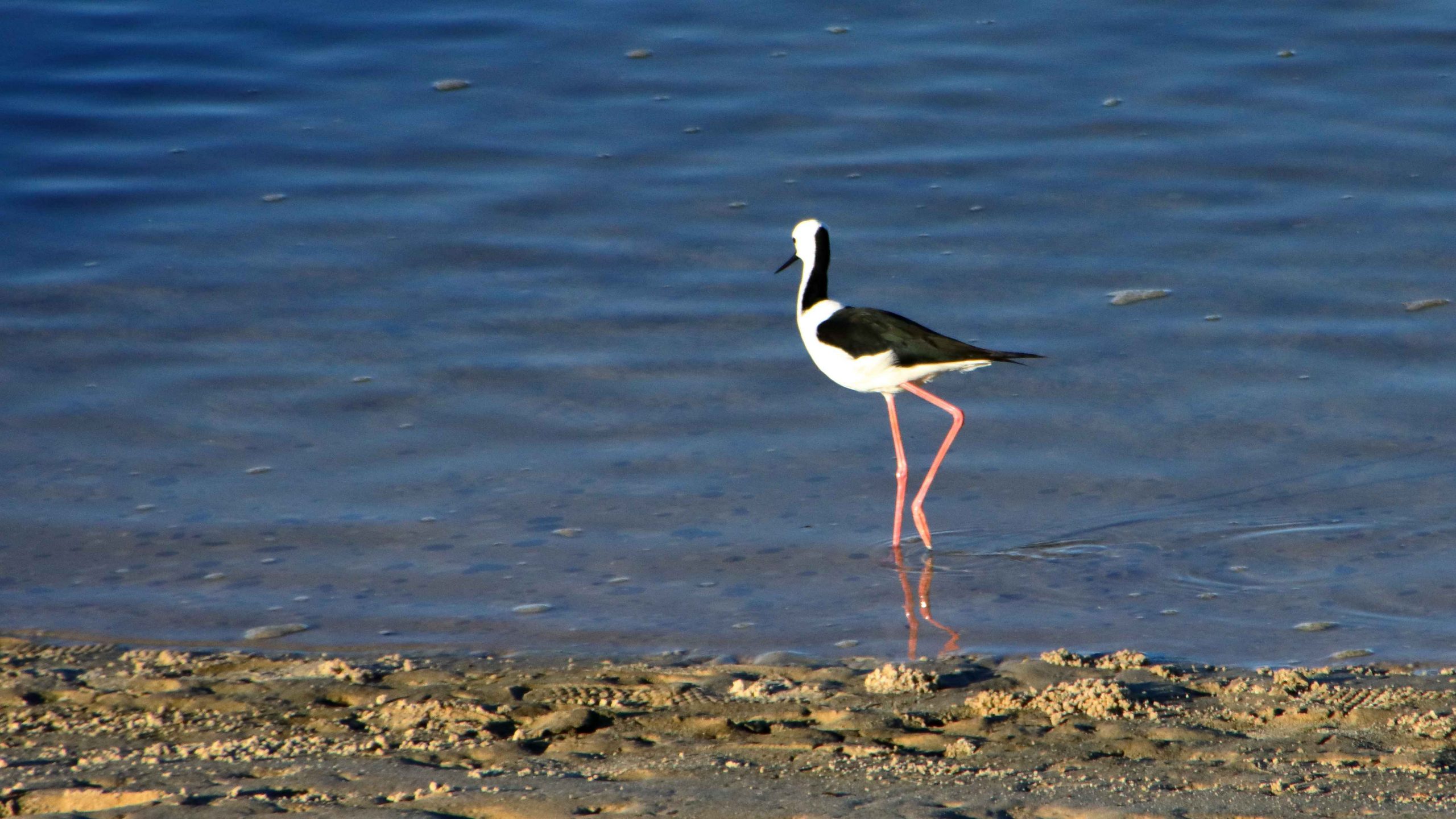
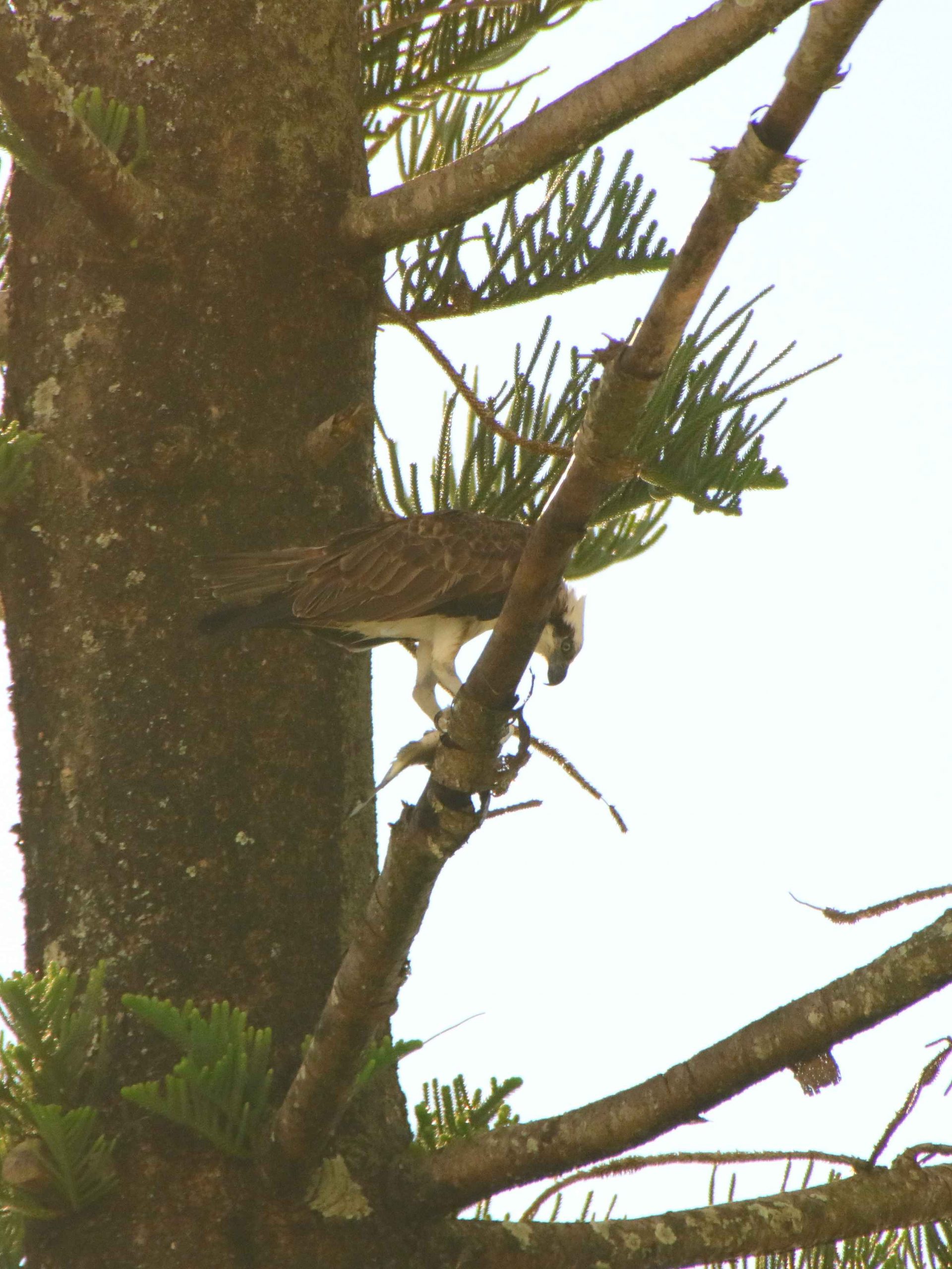
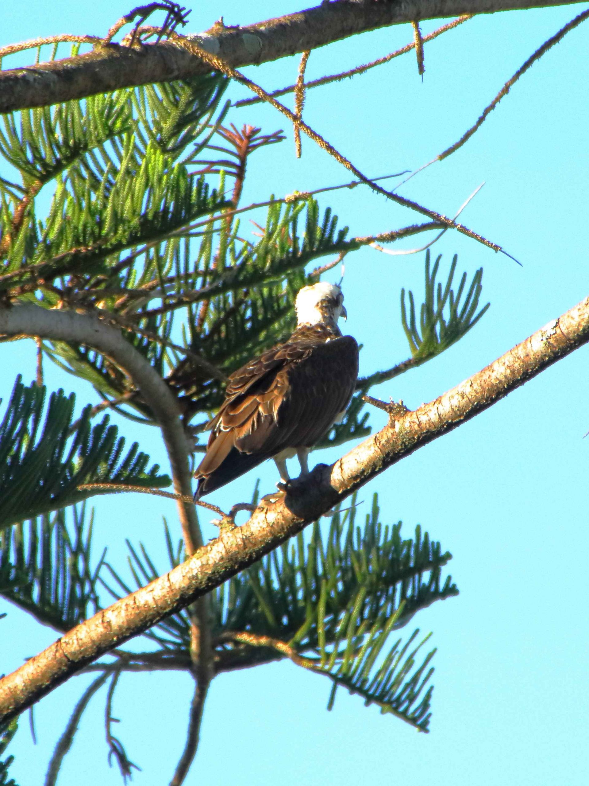
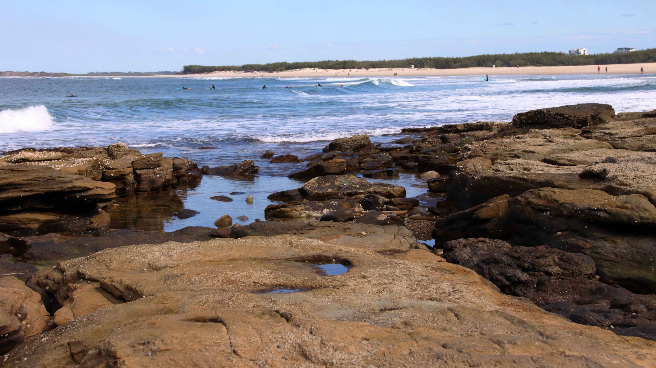
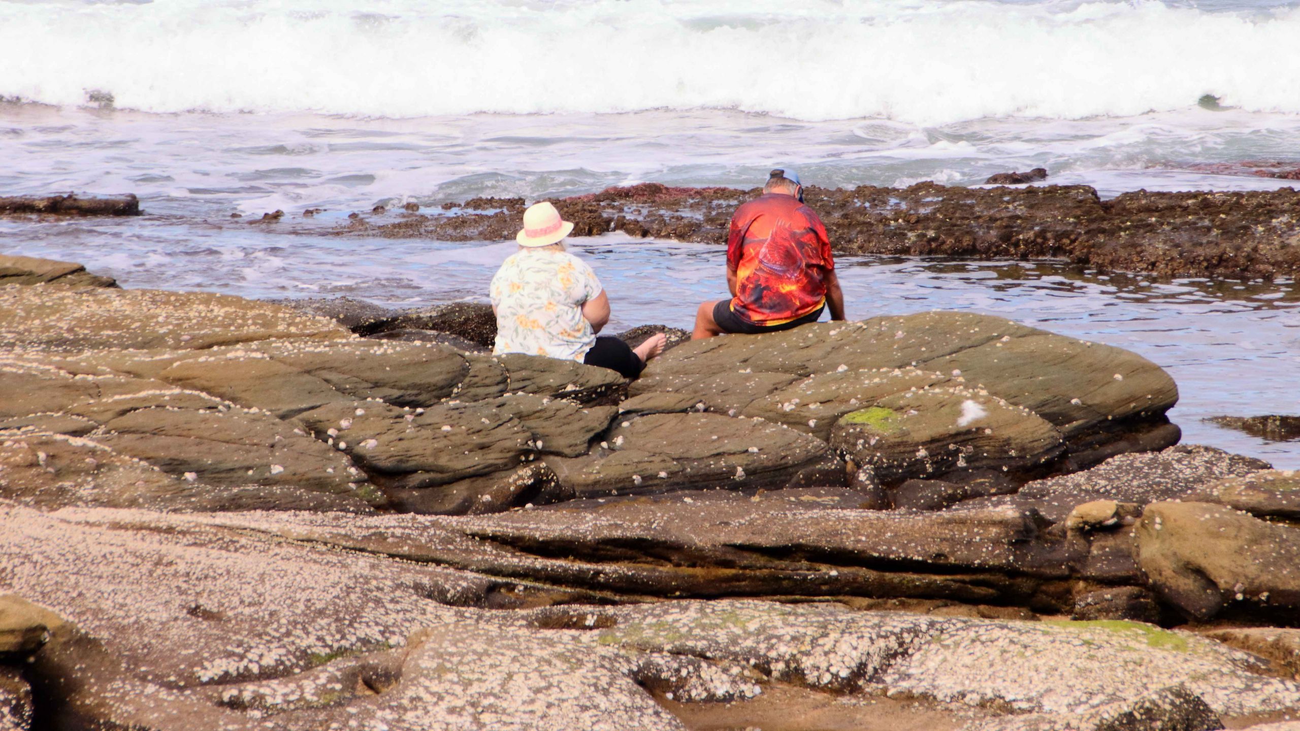
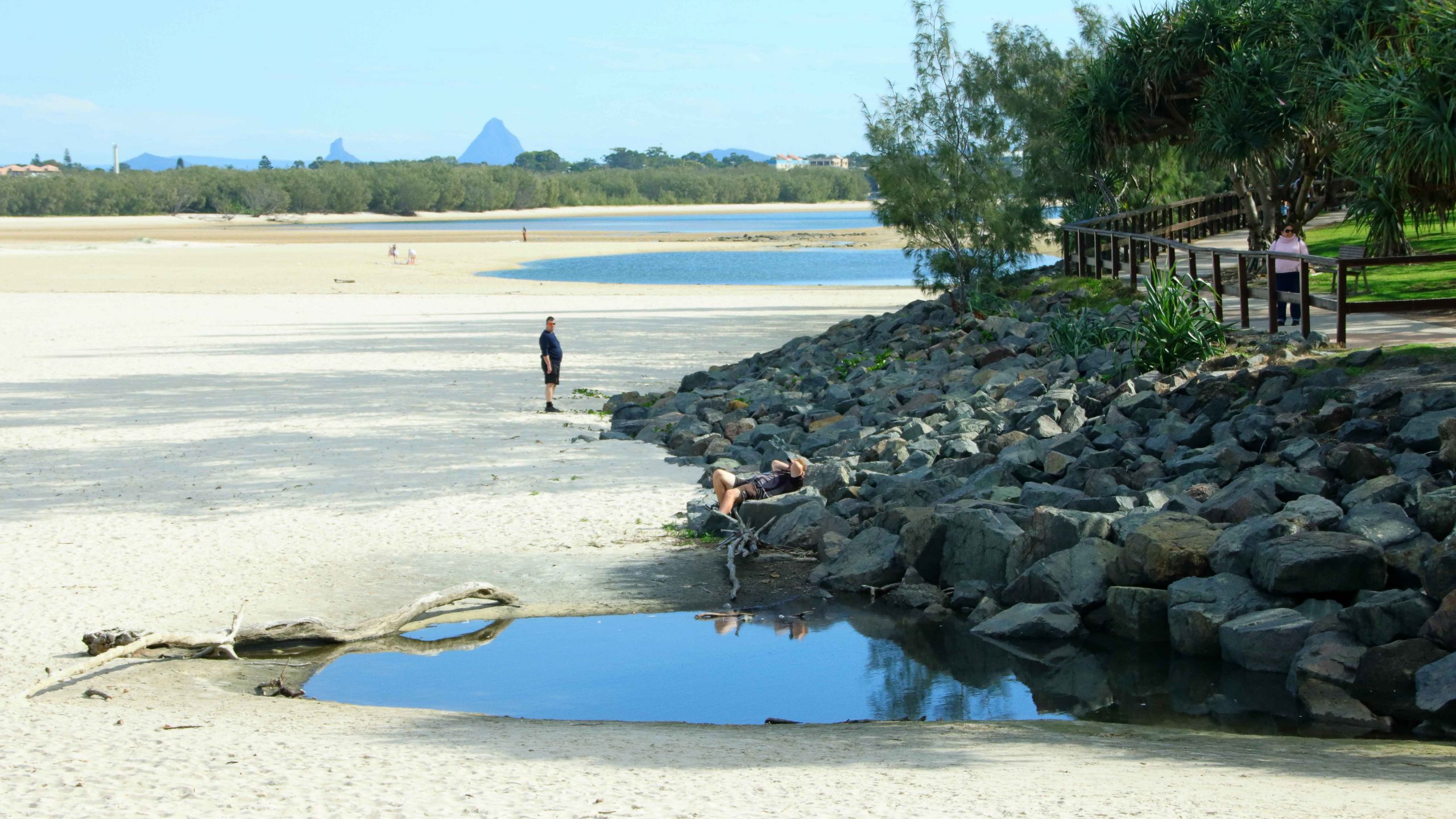
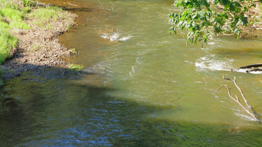
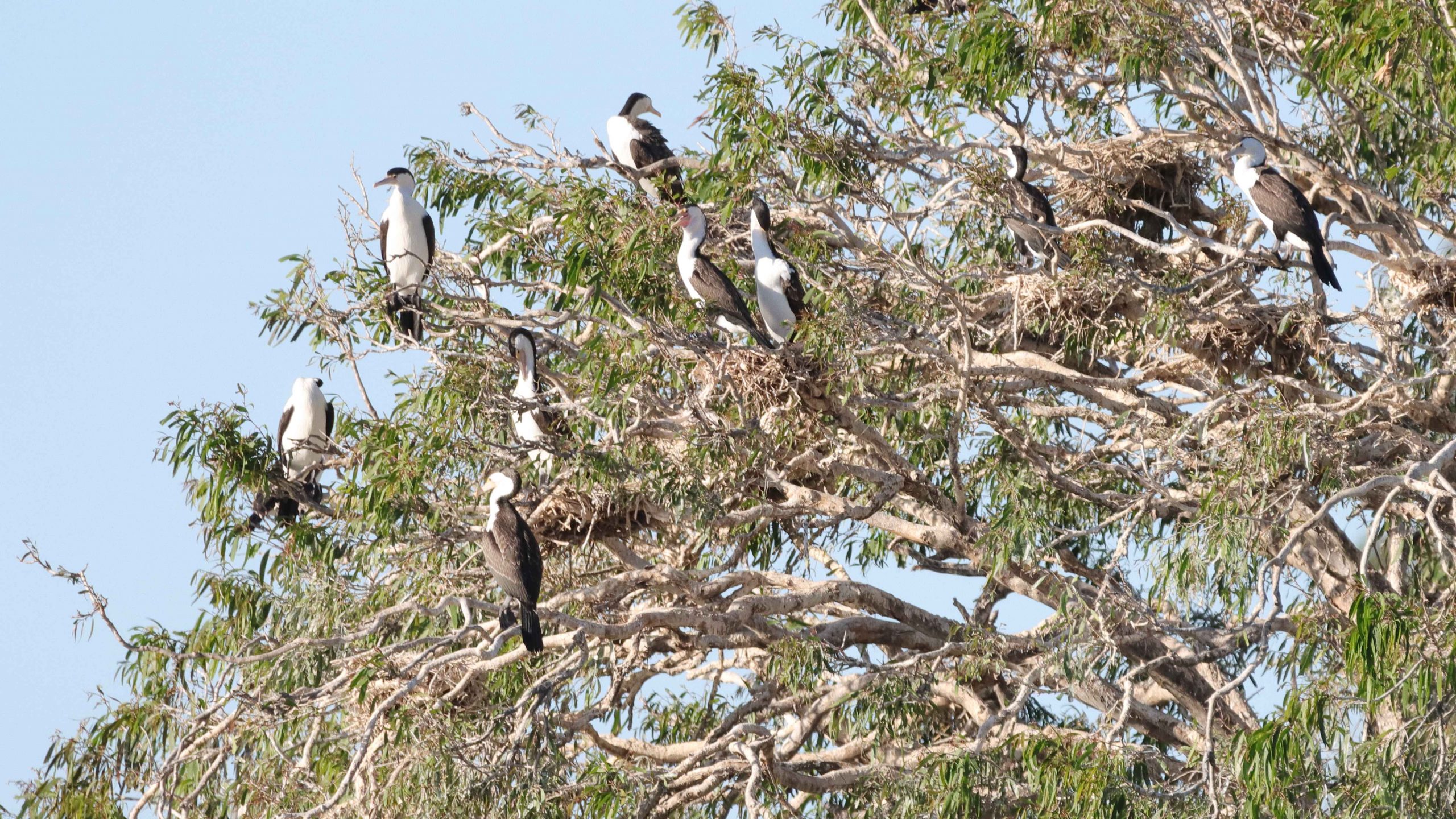
On the day we had available, we started at the mouth of the Don River and worked our way east to Horseshoe Beach and Rose Bay. The day was perfect and holiday makers were making the most of it. We made a quick call at Mullers Lagoon to check for bird life before visiting the main town centre. On our last visit here we still had a caravan and stayed at the caravan park by the harbour.

North Head Island Lighthouse marks the northern point of the entrance to Bowen Harbour

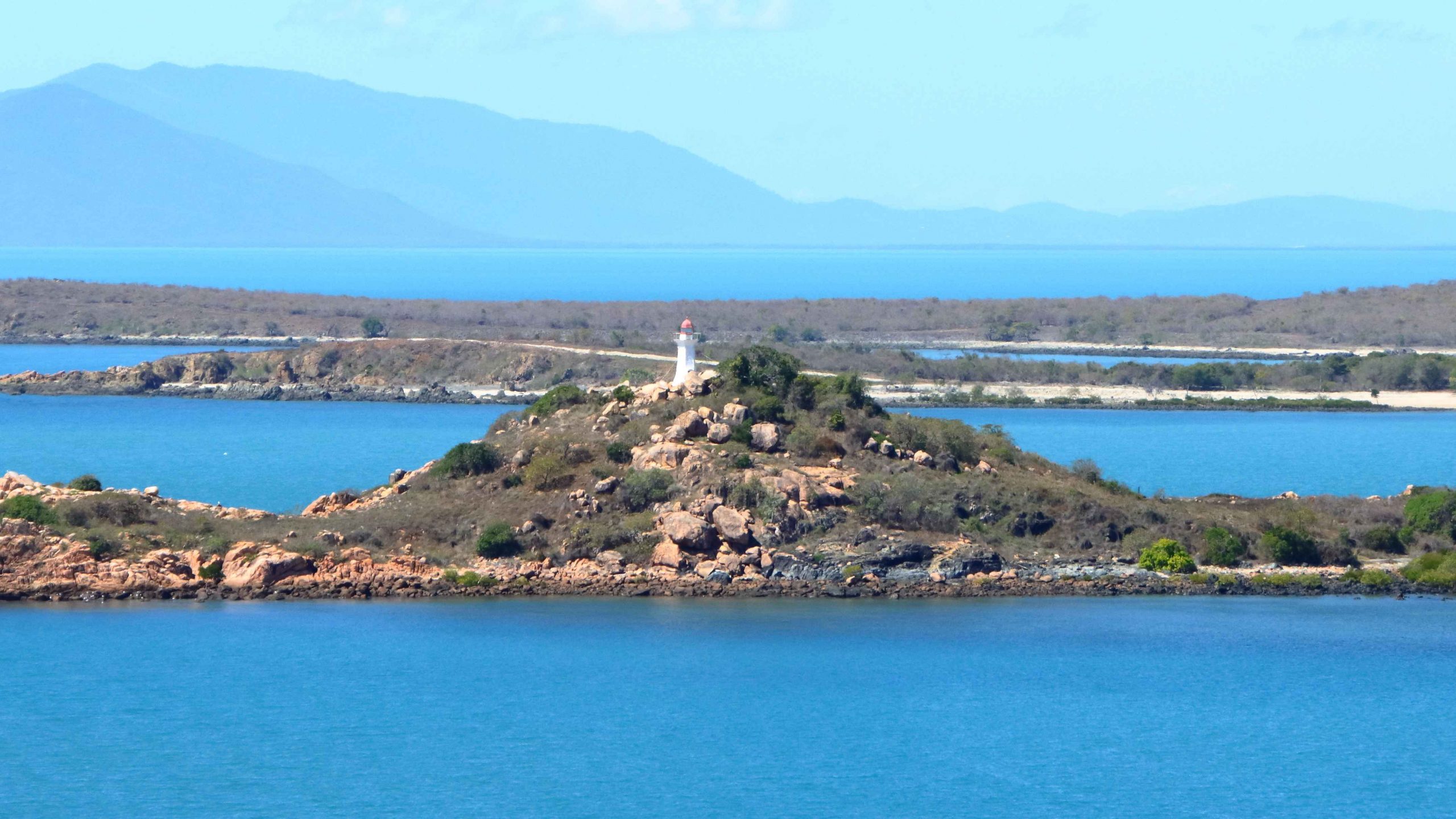
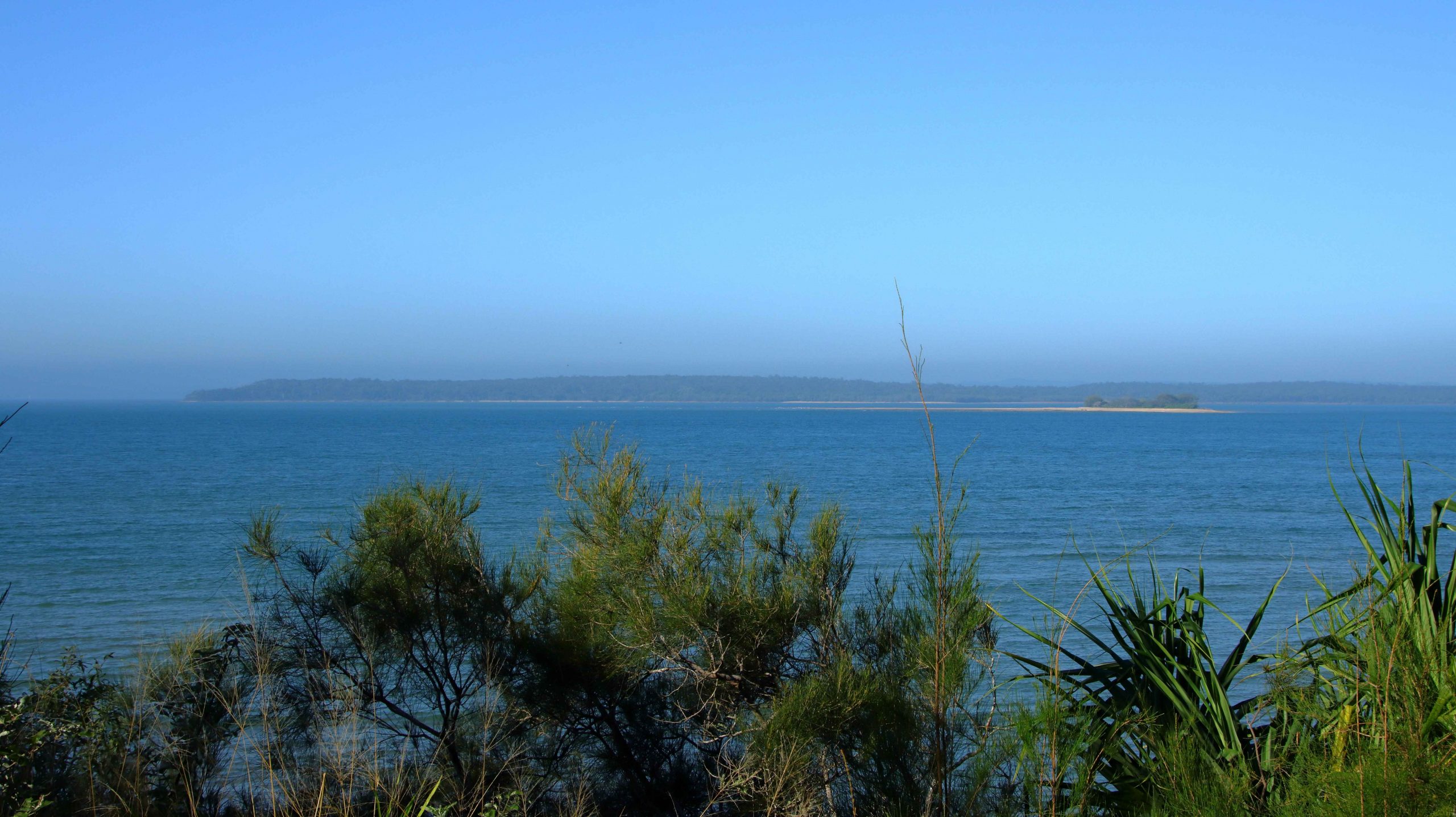
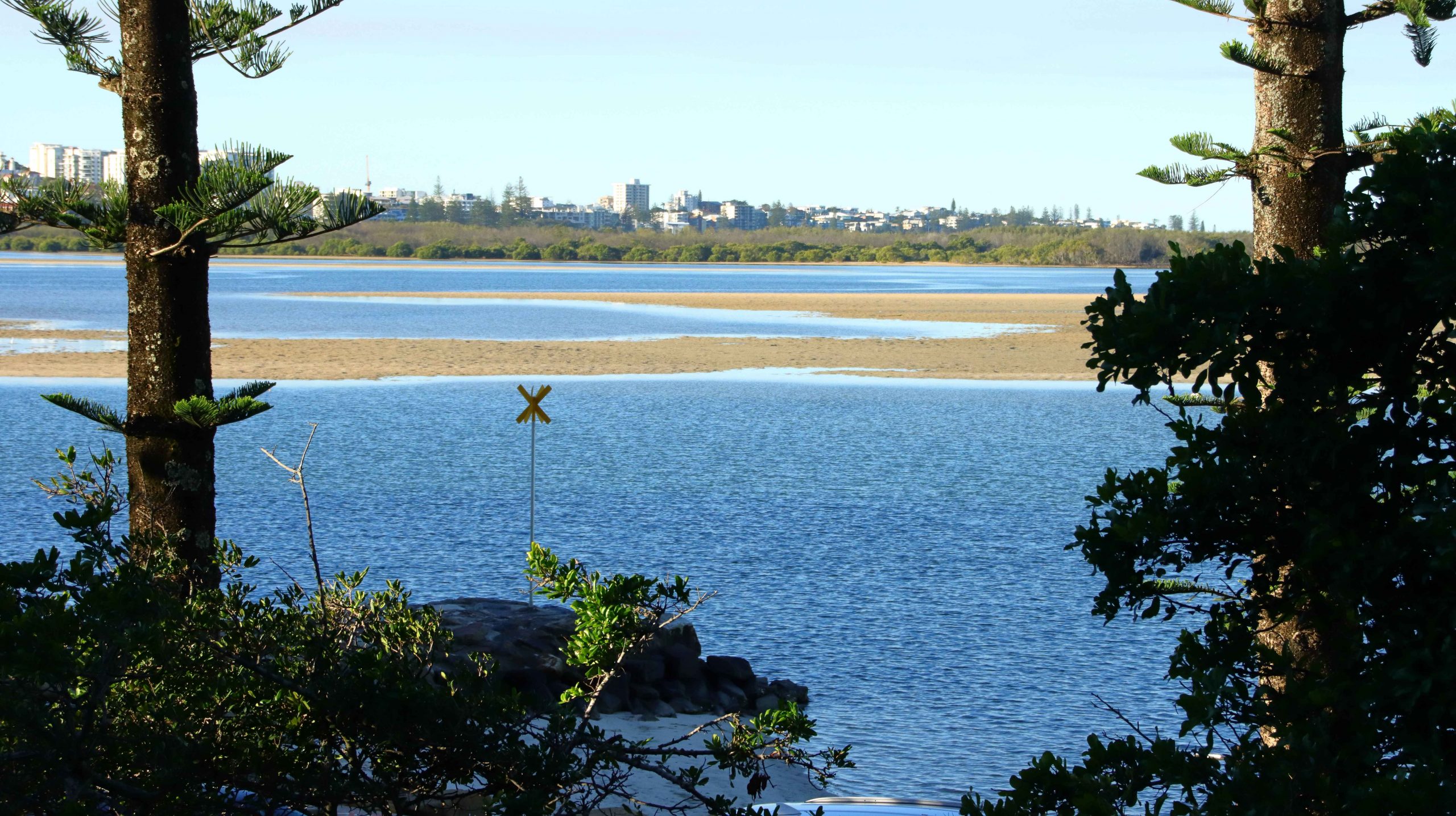
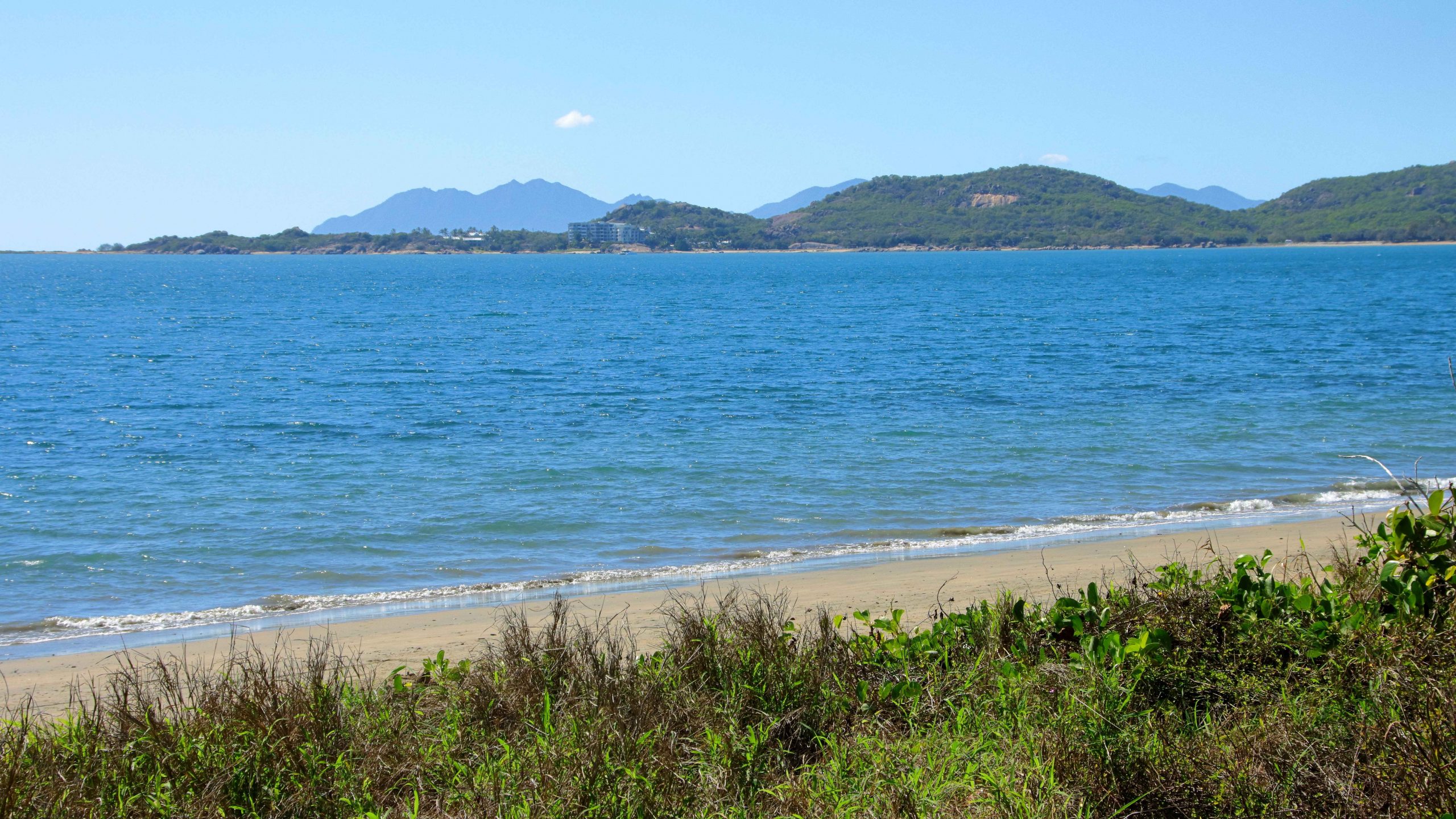
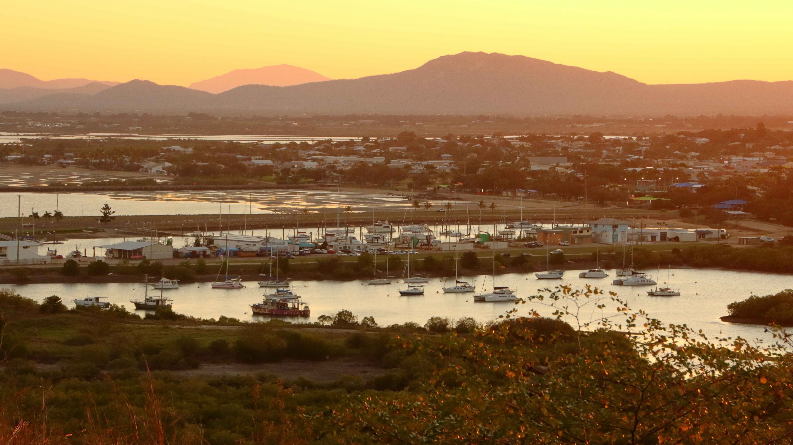
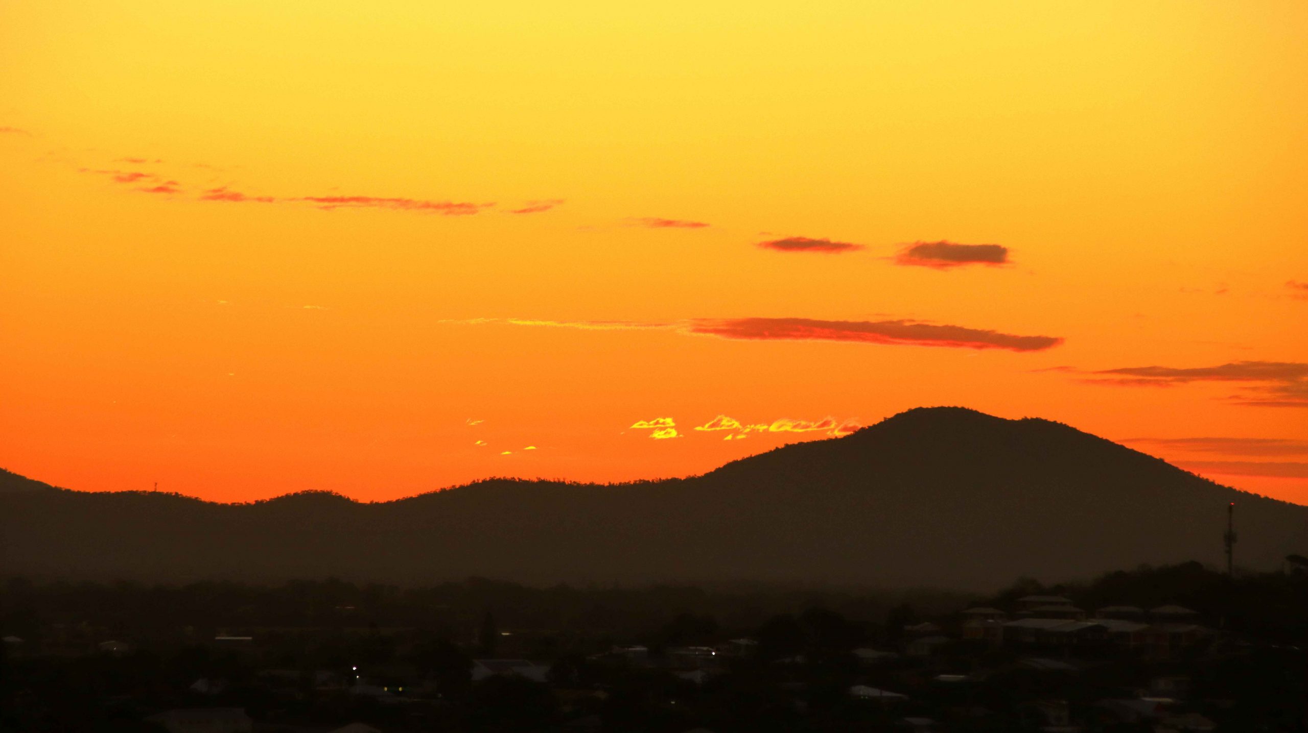
Finally, we drove to the summit of Flagstaff Hill for the views over the town and back south over the bay to Cape Gloucester and Gloucester Island, before returning to the cabin for lunch and a rest.

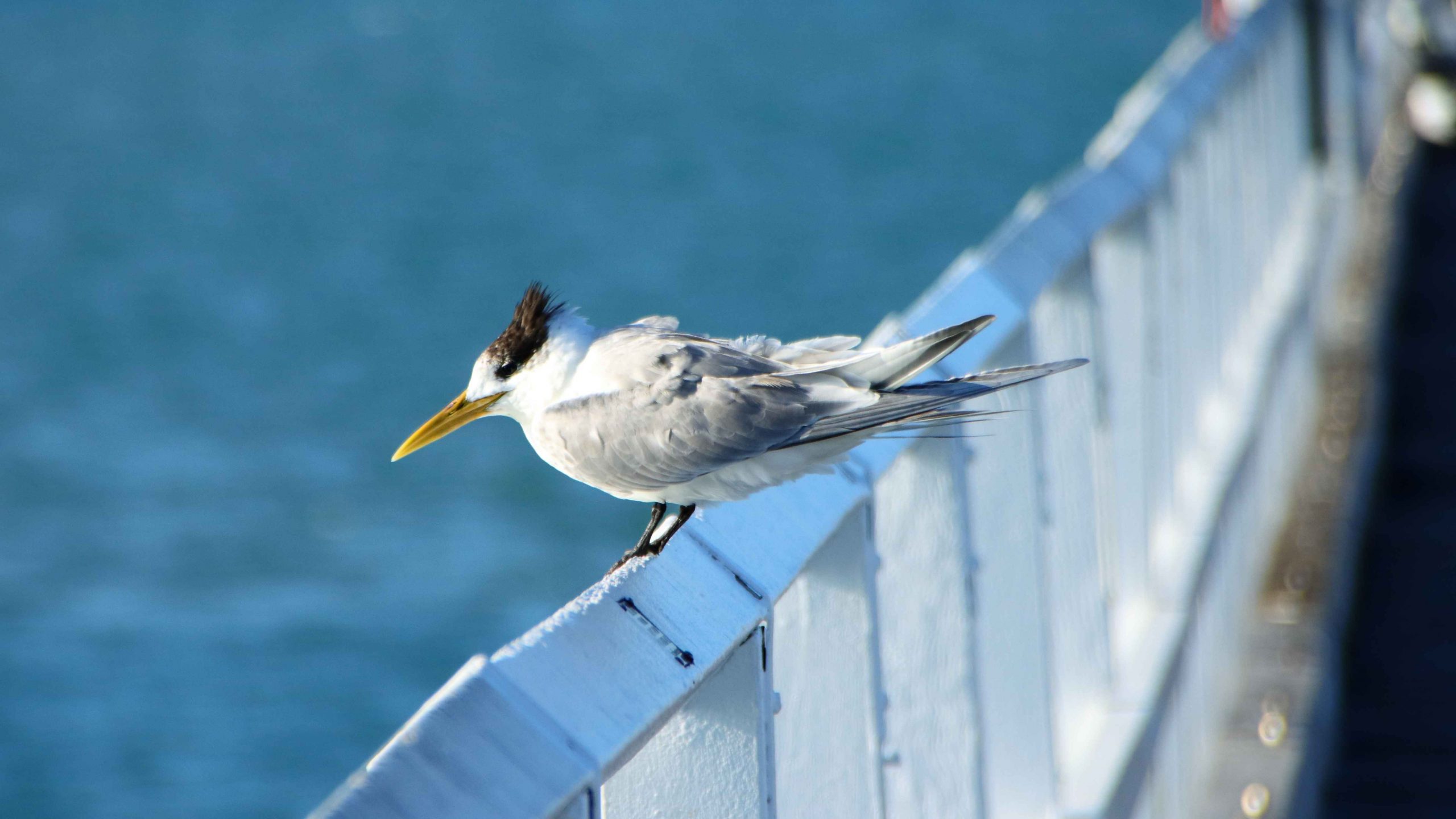
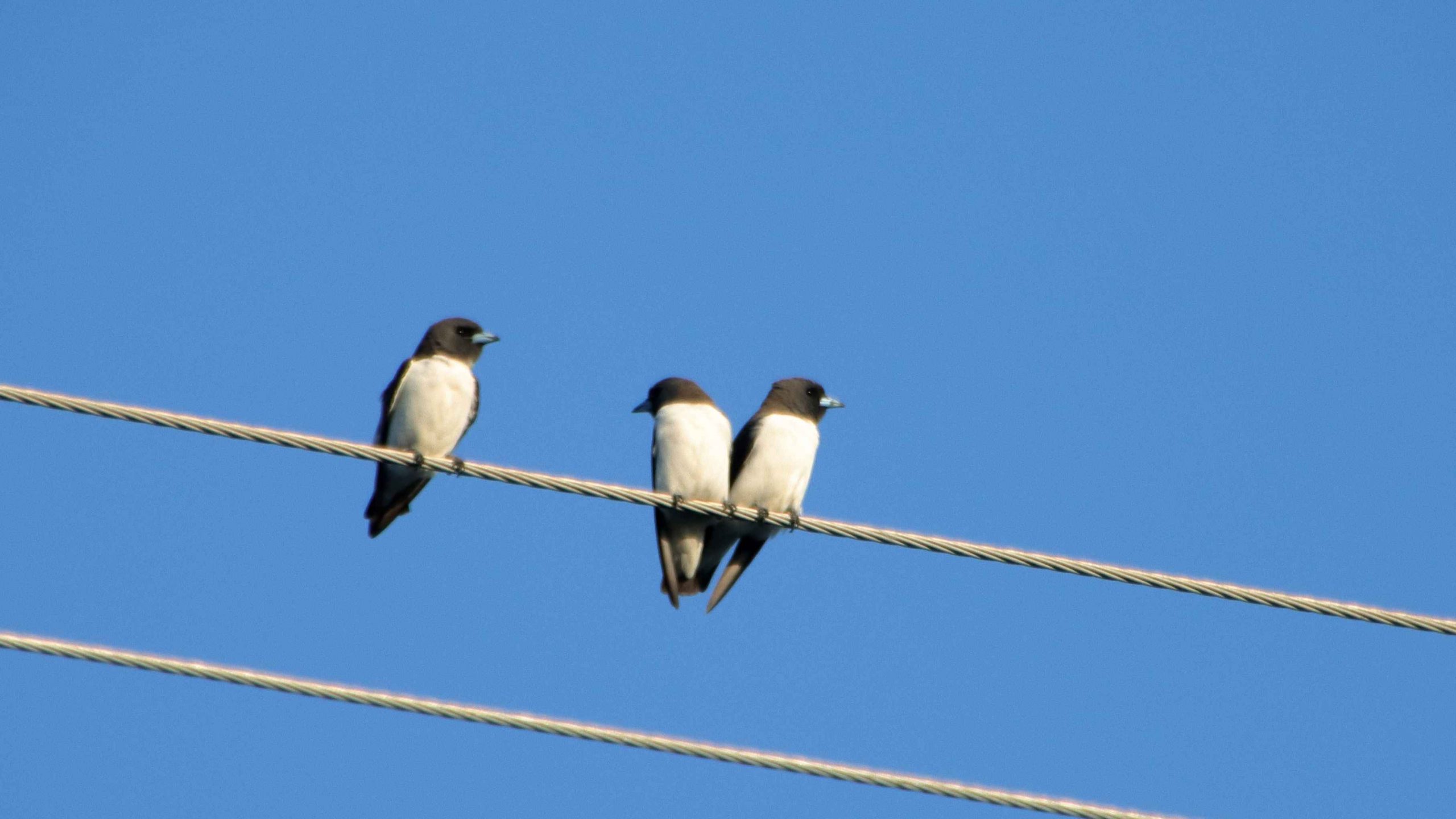
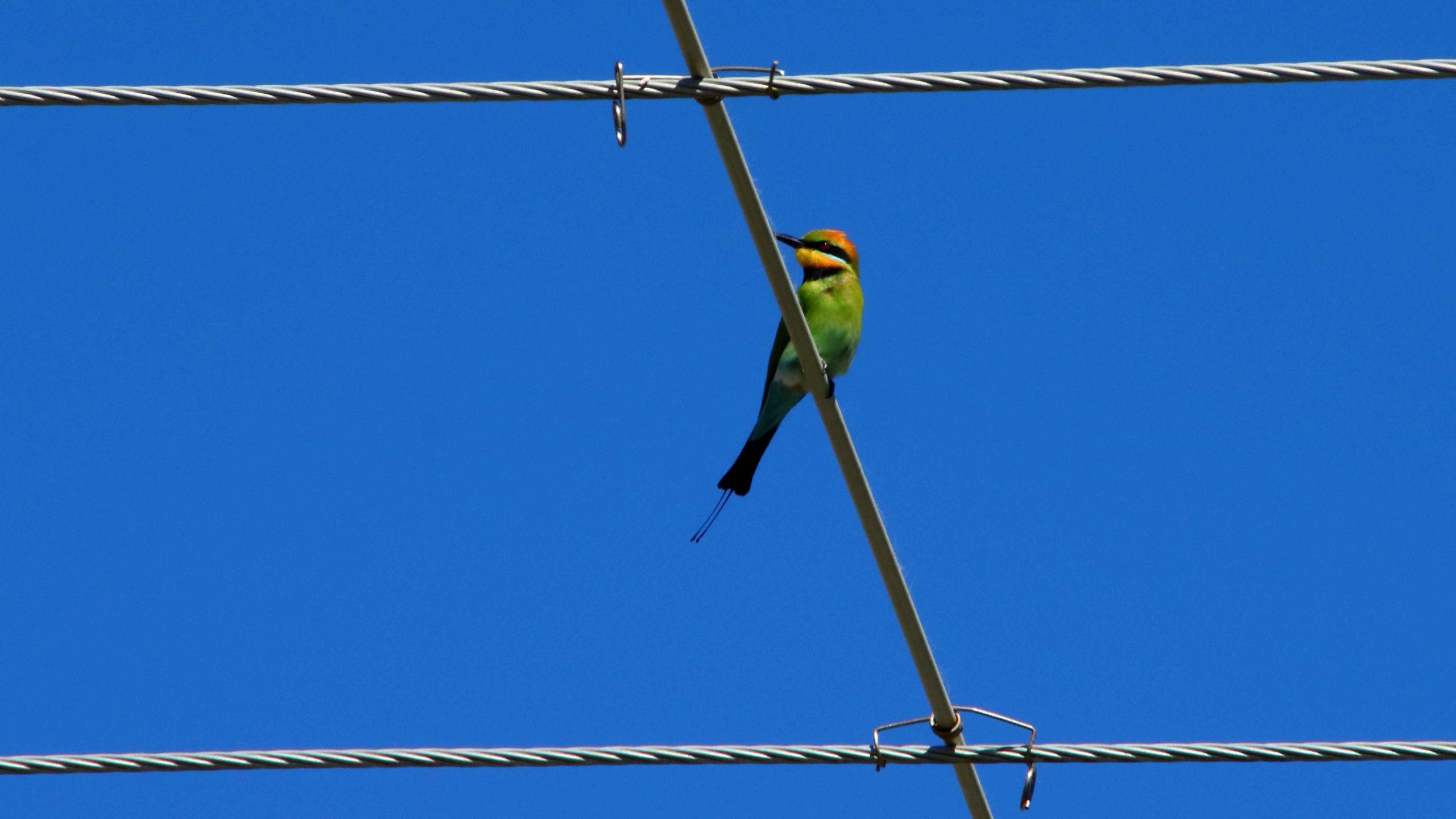
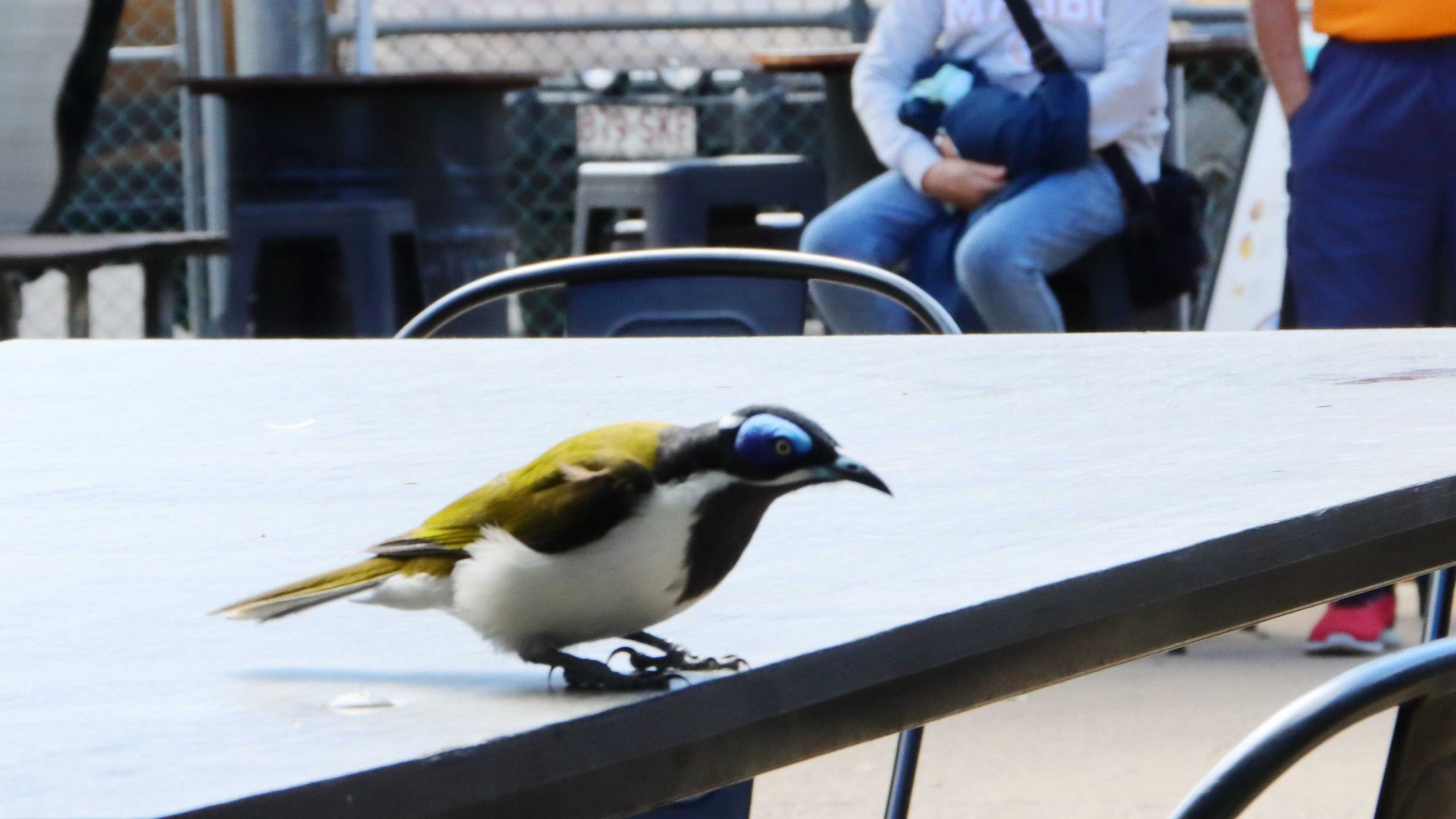
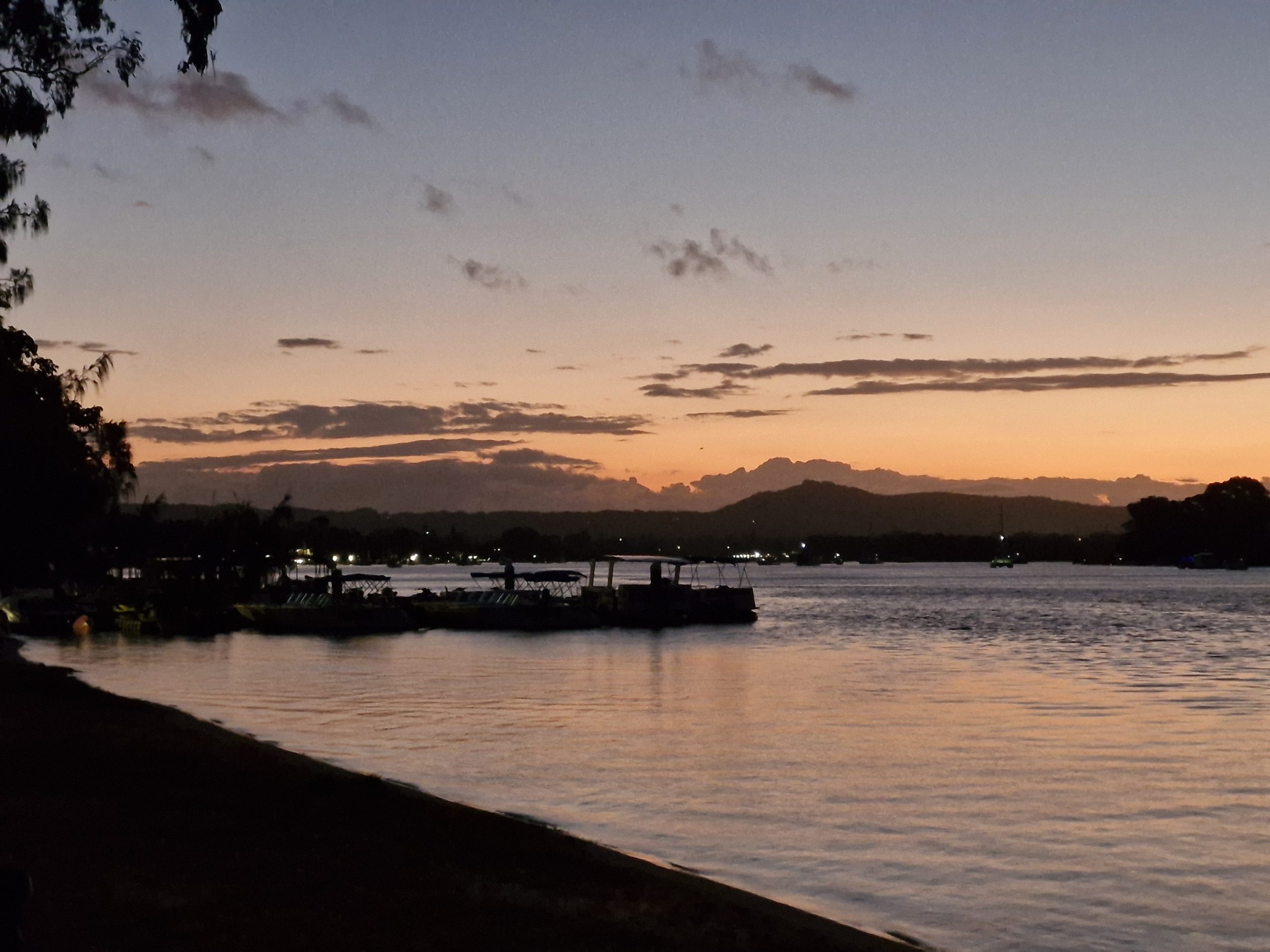
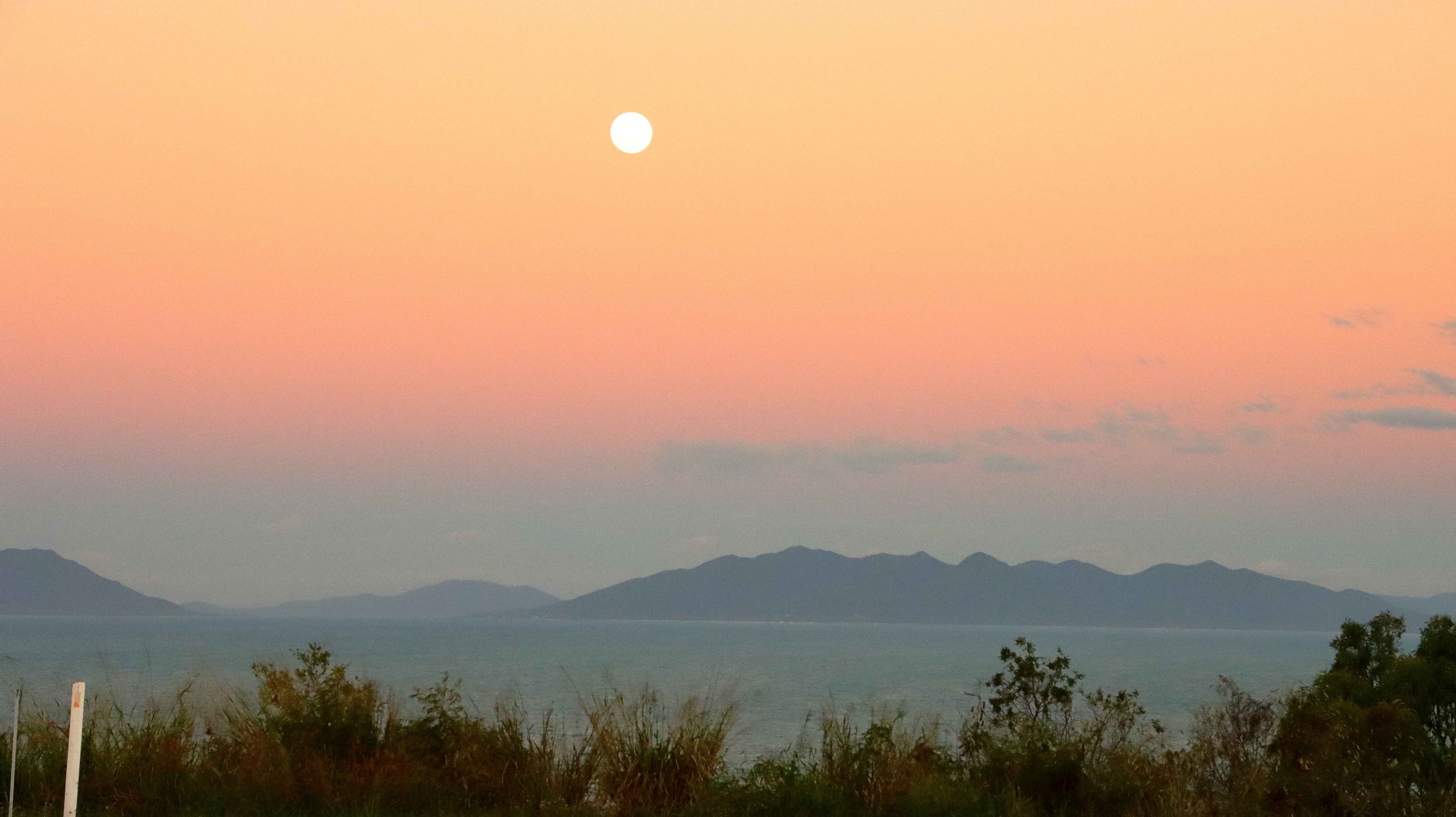
At about 4.00 PM we returned to Muller Lagoon for some bird photography and from there went back to Flagstaff Hill to watch the sunset from that vantage point. It wasn’t a great night for sunset colour, as there was almost no cloud cover to the west, but to watch the changing light on Bowen Harbour and the moon rise over Gloucester Island was not a bad substitute.

Tomato crop at a Bowen farm

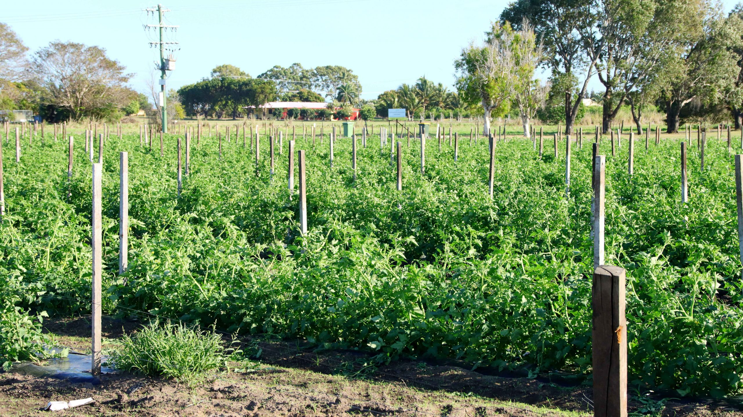
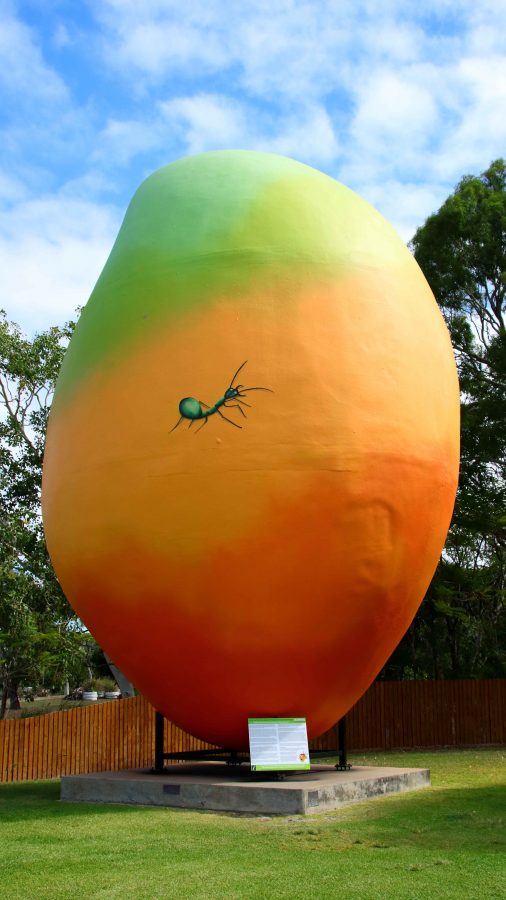
On successive trips north we have noticed the increase in horticulture and market gardens, that seem to be expanding around the larger towns and occupying some of the land formally used for sugar cane production. Bowen has mangos aplenty as indicated by the Big Mango at the southern approach to the town, but tomatoes are now very much in evidence. I wonder if we will ever see a Big Tomato at the entrance to the town.

A nesting tree of Little Pied Cormorants
Bowen and Harbour in the fading light
The Moon rising over Gloucester Island
Sunset over The Great Dividing Range

Bowen is a coal town with many of its residents employed at the gigantic coal loading facility at Abbott Point, just 30 km to the north. In addition, I would think it an ideal location for fly in fly out employees in the mines of the Bowen Basin just over the range to the west. Perhaps drive in drive out as well.

The Big Mango is located at the Visitor Information Centre at the southern entrance to the town

On Tuesday morning we departed to Cairns under cloudy skies. By Townsville the sky had darkened and as we passed through Ingham and approached the mountains near Hinchinbrook Island, the rain started to fall in earnest. An umbrella was required to leave the car for lunch at Innisfail, during what was, according to the news, a 50 mm fall of rain.

Just south of Cairns the rain abated, but returned after we had settled into our motel unit in North Cairns. When it rains during holidays you just have to deal with it. The greater problem was that in booking I had failed to specify a ground floor room, so Ruth had to make it up fourteen steps. We dealt with that problem, for the four nights that we were there, by going out in the morning and returning at the end of the day, when all activities were done.

Far North Queensland Again – 2024 – Days 1 &  2

Note: Click on pictures to enlarge.

Each year, as winter arrives in South East Queensland, I start to make comments about moving to Cairns. At least for the remainder of the Winter. But it is in jest. To do so is not practically achievable. But we can visit.

Fraser Island viewed from Matthew Flinders LOokout
Fraser Island viewed from Matthew Flinders Lookout

Since our retirement in 2009, we have tried to spend as much of Winter as possible travelling in warmer climes, even if that created the need to travel through colder areas coming from or going to the warmer parts of the country.

For the last few years, at least since we sold our caravan, we have travelled North, usually during August. By the start of August, the colder weather has usually got to me to the extent that a chance to start Spring early is very persuasive. We missed last year, as our daughter who works in India, was back in Australia, but this year we put plans in place.

Ariadne was the first ship to bring settlers direct;y yo Hervey region

Originally the plans were to go to Cairns by train, with a sleeper berth on the Spirit of Queensland but we ultimately recognised that Ruth’s balance and mobility issues made that a poor choice. That arrangement would have had us returning home by air but we recognised that air travel out of a regional airport also had its problems. So, we decided that I would drive, but that we would take it in easy stages. We sort of did that, but necessity did dictate some variations.

Memorial and Plaque to commemorate the landing of Lt Flinders at Hervey Bay.

We left home on 16th August with Hervey Bay our first destination. We left home after morning coffee and made Gympie by lunch time. The new bypass is not yet open, but beyond barriers we could see the new dual carriageway stretching ahead of us. We came into town for lunch and departed in the direction of Rainbow Beach until we reached the road to Maryborough, which we followed to that town and proceeded to Urangan.

A Crested Tern in the rail of Urangan Pier.

While looking at maps before departure I had noticed the Matthew Flinders Lookout that is located between Urangan Harbor and the Urangan Pier. The lookout provided photographic opportunities, a parking space and toilets. Afterwards we moved the short distance to the base of the pier. Ruth remained in the car but I took more photos as I added to my daily step count along the famous Pier.

Our motel was at Pialba. After settling in I took my camera on a walk to acquire supplies for the evening. Perched on a power line just behind the motel I spied some birds, which I photographed. They were new to me and when compared to my bird identification book turned out to be a Black-face Cuckoo-shrike and a small group of White-breasted Swallow.

Black-faced Cuckoo-shrike
White-breasted Swallow
Pleasure boat at anchor at Turkey Beach

Rockhampton was our next destination. Just a little under 400 km for the day, we added about another 50 km by doing a detour to Turkey Beach, a town that most motorists just pass by. Turkey Beach is one of the few, perhaps the only, outpost of civilisation between Seventeen Seventy and Tannum Sands. It is a fishing village on one of the many inlets from the ocean that extend among the peninsulas and Mangrove swamps of the area.

Kangaroos at Turkey Beach picnic area
Memorial to Mr Ken O’Dowd MP former federal member for Wide Bay
Stinger free swimming enclosure
Rainbow Bee-eater on a power line

A good picnic area with amenities and a general store are its main amenities along with a launching ramp and stinger free swimming enclosure. A couple of women, enjoying the playground facilities with their children, assured us that it was a magic place to live.

A short drive, during which we stopped to examine a couple of American Brahmin bulls, brought is to the regional city of Rockhampton, situated as it is beside the broad waters of the Fitzroy River, with its many moored boats and hidden crocodiles.

Turkey Creek general store
Now, that is a lot of Bull

Three Days at Golden Beach

Our son and daughter-in-law kindly gave Ruth and I a short break at a time share resort at Golden Beach, near Caloundra Queensland. The Ramada Resort is located right on the shores of Pumicestone Passage, opposite the recent break through by the ocean of the narrow peninsula that is North Bribie Island, thus creating a new passage. This change has greatly improved the view of shipping moving to and from the Port of Brisbane.

Caloundra from Golden Beach
Passing boat
Pelicans on the Beach

Golden Beach is a suburb of Caloundra, situated a couple of kilometres to the Southwest of the main business and tourist centre. It is a precinct of medium high rise, with apartment buildings rising to about 10 floors. The commercial centre has support businesses including pharmacies, real estate agents, hairdressers and restaurants, cafes and coffee shops. It gets quite busy, particularly to and including lunch time.

Moored dinghys

We arrived at the resort late morning and went through the arrival procedure. Our room, on the second floor, provided fine views of Pumicestone Passage and the waters of North Moreton Bay. The welcome included coffee.

There is normally a bit of shopping to be done when you settle into a resort, so we visited the nearest shopping mall to deal with that problem, made more vital as I had forgotten to pack my pajamas. We returned to our room for a leisurely afternoon.

Just Trees
Pelicans were always in view
Black-winged Stilt

A walk is always on my agenda, so I set out with my camera for a stroll beside the water. The sun was shining and a slight breeze was blowing. As I returned, a large container ship was heading out to ports unknown. It was surprisingly close to the shore as it turned around the last channel marker to head out to sea.

We catered for ourselves for our evening meal and retired at our normal time. But the sun shining through the new gap in Bribe Island woke us early, so we started our day with coffee and breakfast while we enjoyed the warmth of the sun. In our own unit, we don’t see the sun until later in the day.

Osprey standing on the remains of breakfast
Possibly the same Osprey looking for its next meal

Before we ventured out for the day, I walked out onto our balcony and noticed an Eastern Osprey sitting on a branch of one of the Norfolk Pines that line the shore. As I watched, the bird flew off but a couple of minutes later returned with a reasonable size fish secured in the claws of one foot. It landed back on the original limb, stood on its catch until it stopped flapping around and then proceeded to eat it. Not all at once though. I went to get my camera. By the time that I returned it had stopped eating and had secured the remains of the fish under one foot. The food chain in operation!

The first coffee provider that we visited

After visiting a local café for coffee, we took a drive to look at some of the more recently completed areas, to the west of Kawana Lakes but drove via Currimundi Beach. We hadn’t been there for quite a while but nothing much had changed from last time.

I think the suburb was Birtinya. We found a new shopping mall, which we explored. Everything was new and shiny. The shops were not busy, but it was still early in the week.

Birtinya Shopping Centre
Mooloolaba Pilot Boat Returning to Port

From Birtinya we drove to Point Cartwright, the Headland around which boats from south turn to gain the shelter of the Mooloolah River. The marine facilities in the river include the pilot station for pilotage through the Great Barrier Reef to Cape York. We parked for a few minutes to take in the excellent beach views from the parking area, before returning to Kawana Waters shopping centre for lunch. We returned to our unit mid-afternoon and again took it easy with a self-catered and simple evening meal.

Cafe Sisily where I enjoyed Cannoli

A former workmate, now resident in one of Caloundra’s several rapidly developing satellites, picked up from a Facebook post that we were in the area and messaged, suggesting we meet for coffee. What a good idea!

So, our last day started with a meeting in an excellent coffee shop just a short walk from our resort. I was introduced to the delights of Cannoli. Somehow, I have reached my considerable age without trying it. It was delightful and is now on the morning coffee menu of possibilities. It was a pleasant catch up with Sandy, who we had not seen for quite some time.

The new Caloundra Bar, the northern entrance to Pumicestone Passage
The Ferris Wheel at Happy Valley Beach
Rocky area of Happy Valley Beach

After lunch at our unit, we drove to Happy Valley and parked where Ruth had a good view of the ocean while I walked the board walk to Kings Beach, to get in some steps and to take some photographs. The weather was pleasantly warm with a scattering of sunbathers on the beach.

A couple relaxing by the sea
Sand covers the area of the old Caloundra bar
A different view of the Happy Valley board walk
The new area of sand at Bulcock Beach.

The breakthrough of the ocean to Pumicestone Passage has led to the old bar at Bulcock Beach totally silting up. Now, where once the tide swept into and out of Pumicestone Passage there is now a sand dune that is no longer breached even by the highest tides. I wandered over part of the sand filled area, photographing as I progressed, until returning to the car and then to our unit.

Since this was our last night, we dined at the Copper Spoon Thai Restaurant on the resort grounds. We enjoyed a delicious meal, savoring the delightful flavors for which good Thai food is known.

Caloundra between the Pine trees

All that was left of the short break, after another restful night, was breakfast and the drive home next morning.

A Drive in the Country

The recently departed long, hot and wet summer and early Autumn was far from ideal for travel. And after all, that is what my blog posts are mostly about.

Two planned trips to Queensland’s Granite Belt and New South Wales New England, were aborted for both family and weather reasons. Although that trip may still occur, it is not yet bloggable and may never eventuate anyway.

But good things come to those who patiently wait. The weather forecast for Queensland’s Labor Day public holiday was predicted to be a ray of sunshine between the clouds and so it proved to be.

Kenilworth bakery and doughnuts
Kenilworth Friendly Grocer

Still hankering after Autumn colours, I recalled some Facebook comments from months ago, where a grove of trees near Kenilworth seemed to present possibilities. Unless you have word from the horse’s mouth, there can be no certainty about the timing of the appearance of Autumn colours.

We left home after breakfast, stopping at Wild Horse Mountain or coffee. At the north end of Nambour, we turned inland to Mapleton, followed the precipitous descent of Obi Obi Road and then Obi Obi Creek, to Kenilworth. Everything is so green at the moment. It was an enjoyable drive.

A Queue for the Loo
A visit from a Blue-faced Honeyeater

Lunch time had come, so we found a parking space after a bit of a search. Kenilworth is a poplar town on a sunny public holiday. We then walked the short distance to the Kenilworth Dairy, where lunch and cheese were both offered. Lunch first, then cheese.

As we waited for lunch to arrive, I took  couple of photos and rested my camera on the table. Suddenly, like out of nowhere, a Blue-faced Honeyeater landed on the adjoining table. There was no time for bird photography settings. It was grab and shoot and the bird was gone. You be the judge of the resulting photo.

Obi Obi Creek, near Kenilworth

We walked around town, as you do, while I took a few photos. Then we drove out to the grove of trees that, if they possessed an decency at all, would have presented leaves with all the colours of the Autumn spectrum. But no such luck. I am sure the I had located the correct trees, but my timing was obviously out. But I photographed them I took some photos of Obi Obi Creek as well. The grove of trees is at the head of this post.

The day had improved from its quite reasonable start. There was more blue sky than clouds and the temperature was delightful. Of the alternatives available to us we chose to drive toward Noosa. A recollection of a desire to climb Mount Tinbeerwah, located between Cooroy and Noosa, surfaced, so that is where we went.

Lake Cooroibah on the Noosa River

Ruth stayed with the car and I took the track to the summit, not sure if I would go all the way. But once on the track it was hard to turn back and the views improved as I climbed. The track is concrete with inlaid stones for most of the way with some sloping bare rocks and a few short flights with steps. Where needed, the stairs have handrails.

THe Summit of Mount Tinbeerwah

A roofed observation deck is at the summit. Rails enclose the area, as the peak is surrounded on three sides by precipitous cliffs. There were half a dozen people up there, all much younger than I am. One young fellow said that he was staying to photograph the sunset. The path down would be quite safe, even in declining light.

Dredging is currently in progress at the Mount of the Noosa River. We drove through Noosaville, appreciating the beauty of the river in the late afternoon and deciding that we would return for fish and chips in the twilight.

Noosa town and river through afternoon haze
The Noosa River bar in after noon light

Noosa Heads was its normal busy self. We patiently made our way to Hastings Street and slowly followed, as part of the traffic, along its narrow way. Almost every parking space along the road that leads to the river was taken. Those vacant were too far back to allow for an easy walk to the river.

This tree is a survivor of fire beside the Tinbeerwah car park.

We turned and slowly progressed to Noosaville, securing a parking spot adjacent to the river, a short walk from the vender of fish and chips. We found a table in the alfresco dining area and placed our order. There are always too many chips, but there certainly was adequate fish and assorted sea food. Quite a feast

More photos were taken at Noosaville, of course, ensuring a pleasant couple of hours next day as I processed them. Some accompany this blog.

We always enjoy Kenilworth and Noosa. I think this was the first time that we had visited them both on the same day.

In case you were wondering, the day after the public holiday was another nice day, despite the forecast to the contrary.

Cruising at Day’s End. Noosa River.
Noosa River Sunset

Tramping Around Brisbane – Gardens, Towers & Bridges

Note: A link to a video of the walk appears at the foot of this post.

When your hobby is photography, then you must take photos. And the more photos the better. With digital photography, taking photos continues to be both an indoor and outdoor recreation. Outdoors to take photos and afterwards, with the assistance of a computer and appropriate software, to process the photos. I find processing to be every bit as satisfying as actually composing the photo and pressing the shutter release. Just like it was all those years ago with black and white photography in the darkroom.

The Signature Bougainville at Southbank

I hadn’t been out for a while. Expected opportunities evaporated for a couple of locations, so a determined effort was needed. On Monday morning of the week of 27th November 2023 I got up early, showered, dressed and breakfasted and drove to Sandgate Railway Station. I chose Sandgate as the Cleveland train departs from there and passes through South Brisbane Station, thus avoiding a change of trains at Central Station.

The Brisbane Eye Against City Background
Using Colour in Architecture

My first objective was coffee on the Goodwill pedestrian bridge, one of the links between the south and north banks of the river, adjacent to the Queensland University of Technology Gardens Point Campus. This walking route took me down Grey Street in South Brisbane and past the western boundary of the Southbank Parklands.

Goodwill Bridge from Near QUT

The winding trellis of Bougainvillea that runs like a spine through the gardens at the Parklands is at its blooming best. The tropical wetland feature area was lush with spring greenery. We have received some very handy rain showers over this part of Brisbane in recent weeks, so the tourist areas at the back of the parklands had that freshly washed look about them.

The approach to the elevated bridge provides fine views of the river and the development along its banks. At its western end the bridge passes above the Queensland Maritime Museum, providing good views of HMAS Diamantina in its permanent dry dock and the many additional items displayed outside of the actual museum buildings.

Deck of the Goodwill Bridge

Goodwill Brew is a coffee dispensing caravan part way over the bridge. I had a choice of seating, so enjoyed my coffee watching pedestrians, cyclists and scooter riders crossing the bridge, Rivercats and other craft fussing about while I changed the lens and set up for the next stage of my walk.

As I have grown older I have become more interested in making videos. The interest first arose when I wanted to turn the still images of our travels into a more internet friendly form. I had a video camera for a while but when technology passed it by I decided to return to a Single Lens Reflex camera. But by that point SLR had been replaced by DSLR. The ability to produce still images and quality video was a winning combination.

Queensland Maritime Museum and HMAS Diamantina
Goodwill Bridge and QUT

About 18 months age I purchased a Canon EOS 90D with kit lenses but upgraded to a decent telephoto for bird photography and a 18-250mm zoom for general use and videos. I have recently bought my first prime lens in a long time, a Canon 50mm lens. It is fondly known by owners as a “nifty fifty”. At f1.8 it is by far my fastest lens.

QUT Ferry Terminal and South Bank

I did give some serious consideration to buying a new mirrorless camera body but decided to stick with established technology. I am very happy with the Canon EOS 80D.

The purpose of this outing was to capture video of two large building projects under way in Brisbane. They are the Queens Wharf project that will house, among other things, a new casino and a new pedestrian bridge to link the lower east of the city with Kangaroo Point. Both are multi billion dollar and multi year projects. Both are well under way. Between the two sites I walked through the Brisbane Botanic Gardens.

The Queens Wharf Projext
The Bridge Between the Two Queens Wharf Buildings.

As I mentioned, the first part of my walk was through the streets to the west of Southbank Parklands. I fitted my newly acquired Canon 50mm prime lens. I am happy with the images produced by this camera and lens combination. After coffee I changed to a Sigma 18-250mm zoom lens which serves as my walk around lens and my video lens. To complete the setup I added a telescopic monopod with a pan and tilt head to mount the camera. There are advantages in using a tripod to shoot video but the monopod is much lighter and easier to carry.

Southbank Entrance to Goodwill Bridge

The Queens Wharf Project is under construction in the vicinity of the old Queens Wharf, which occupied part of the site on the bank of the Brisbane River, about mid city and overlooking Southbank and the motor-way that leads to Captain Cook Bridge. The almost complete Neville Bonner Bridge will provide a pedestrian link between the new casino and Southbank Parklands.

Flowers in Queensland Botanic Gardens
THe Work Area for Kangaroo Point Footbridge

The building nearest to the river is the shorter of the two. It is a horseshoe shape with the adjoining tower built at the open end of the horseshoe. The tower will rise to the level similar to neighbouring buildings. The online promotional blurb claims the site as an integrated tourist precinct including a casino, hotels, retail and accommodation.

When completed it will be well worth visiting and will, as claimed, raise Brisbane’s profile as an international tourist destination.

Artists Impression of Finished Project.

From Queens Wharf I walked via the entrance to Queensland University of Technology, through part of the Botanic Gardens to the riverside pathway that leads to the Eagle Street Pier area. The old pier area is under major reconstruction but the part that was of interest to me on this walk was the new Kangaroo Point pedestrian bridge.

The bridge is quite a structure. It is well under way. Its defining characteristic is a mid-river pilon that will support the cables that in turn will suspend the walkway at a level that will allow river traffic to pass underneath. Construction has cut the riverside walkway at this point, so it is necessary to return to the city streets to make your way past this obstacle.

Kangaroo Point Footbridge and Storey Bridge

The pier area, had previously housed several restaurants and provided moorings for the Kookaburra Queen paddle wheel restaurants that we still had from Expo 88. But it looks like the paddle wheelers have gone. Major construction will take place when the bridge works, that take up a large area of shore space, are completed. The current bridge works area takes up much of the footprint of the final development.

St Stephens Cathedral is crowded by a cluster of high rise buildings.

Having reached this point I had seen what I came to see and photograph, so I grabbed some lunch and walked to Central Station for my train, via the grounds of St Stephens Cathedral and Post Office Square.