The Road Home – The Manning Coast & Home – October 2023

First glimpse of the Sugarloaf Point Lighthouse at Seal Rocks near Bungwahl, NSW.

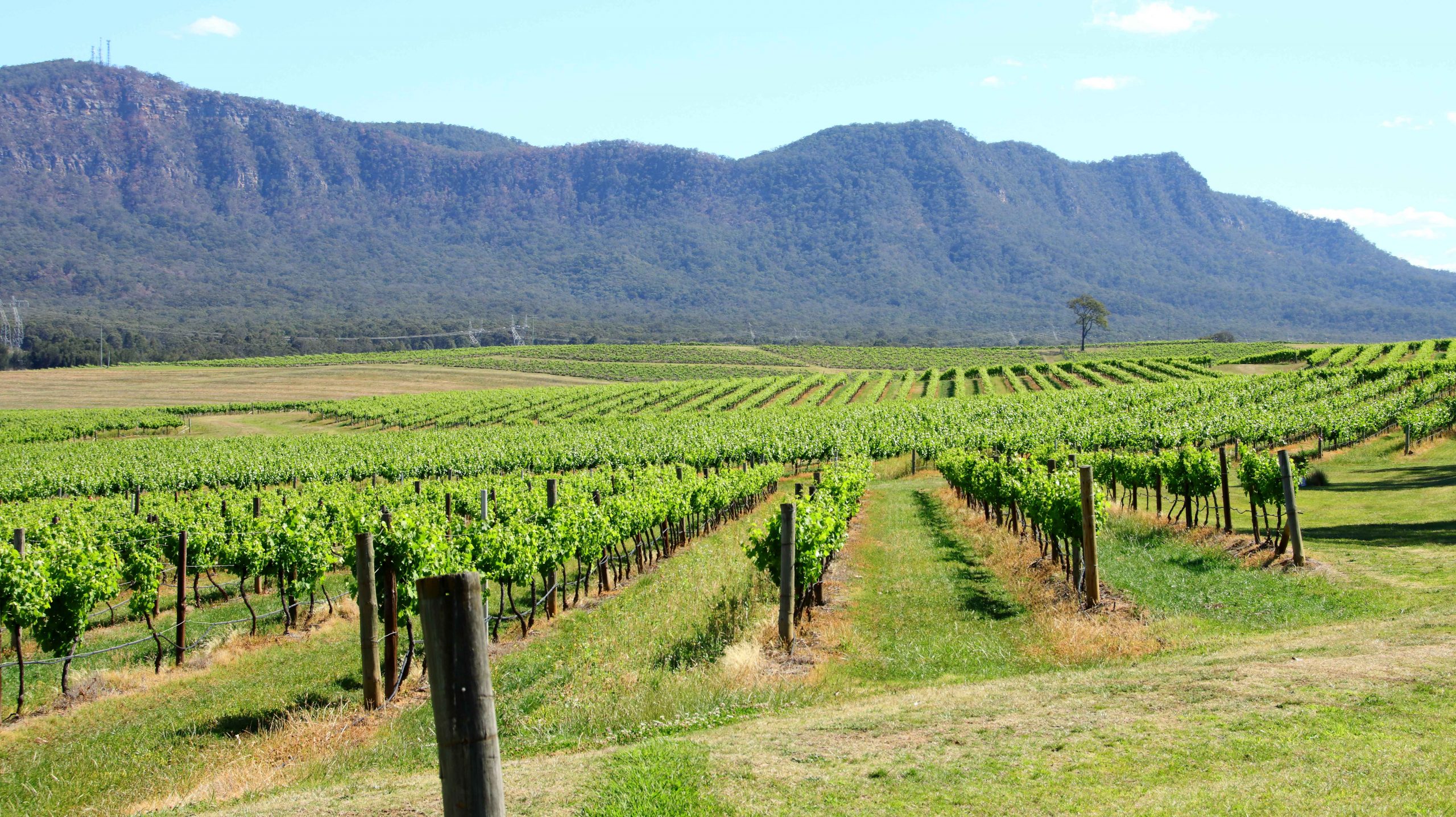
Our destination that day, Tuesday, was Harrington at the mouth of the Manning River, near Taree, the town where I was born almost eighty-four years ago. We stopped for coffee at Raymond Terrace, then kept to the highway that now bypasses Bulahdelah, the town of my youth. We were headed for Seal Rocks, on the coast near the eastern end of the Myall Lakes.

The rocks on which the sighting of Seals generated the name of the area.

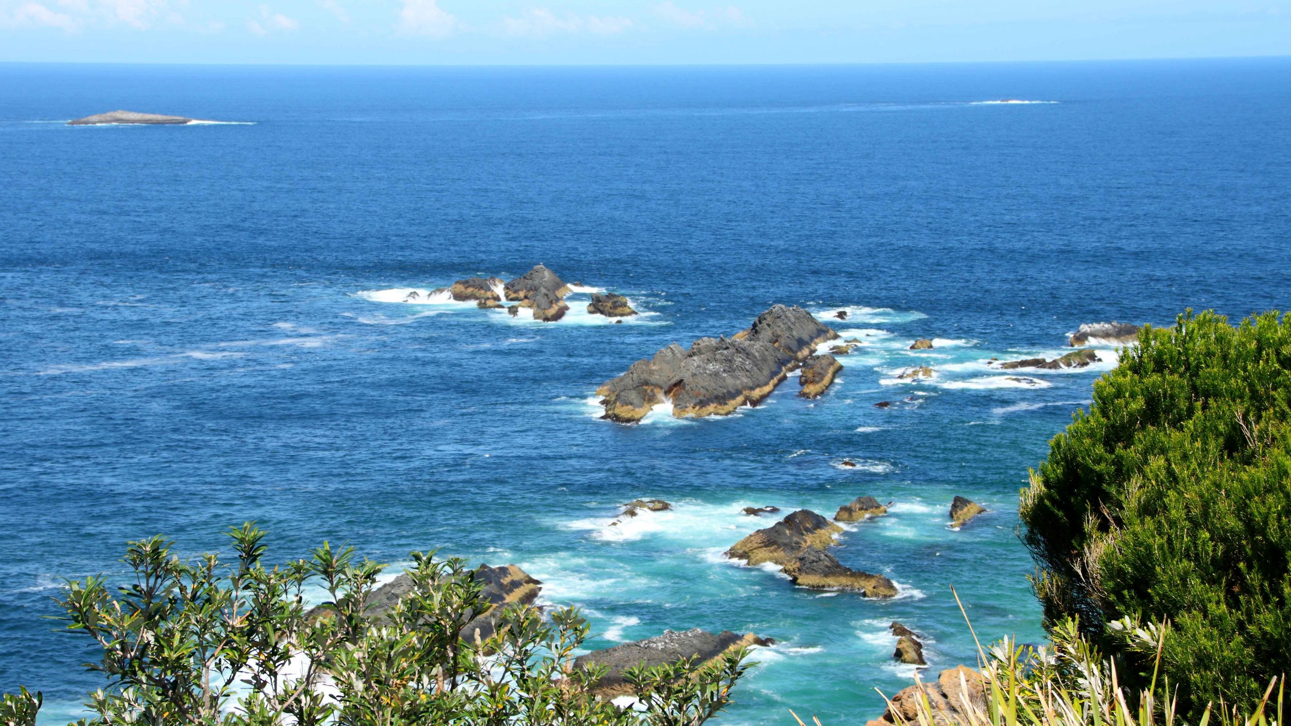
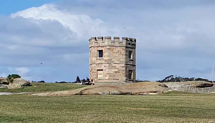
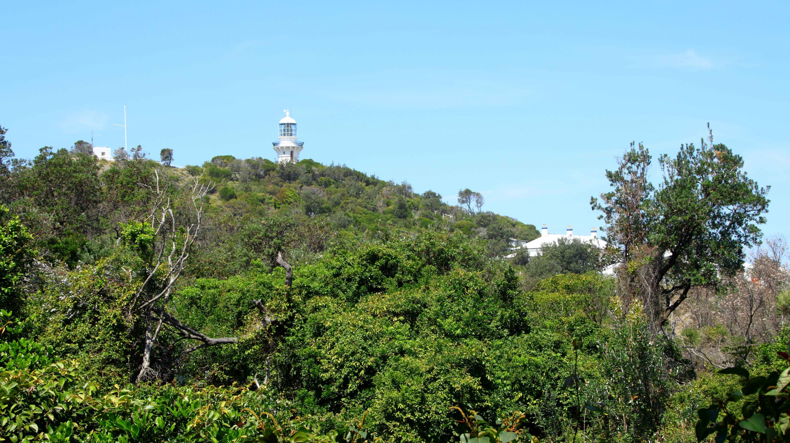
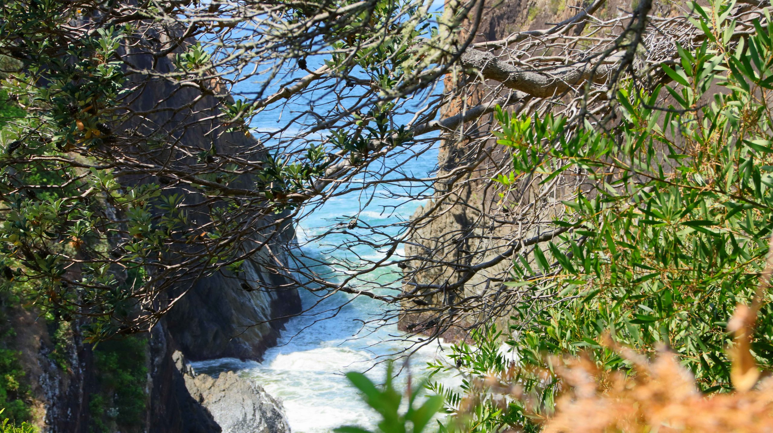
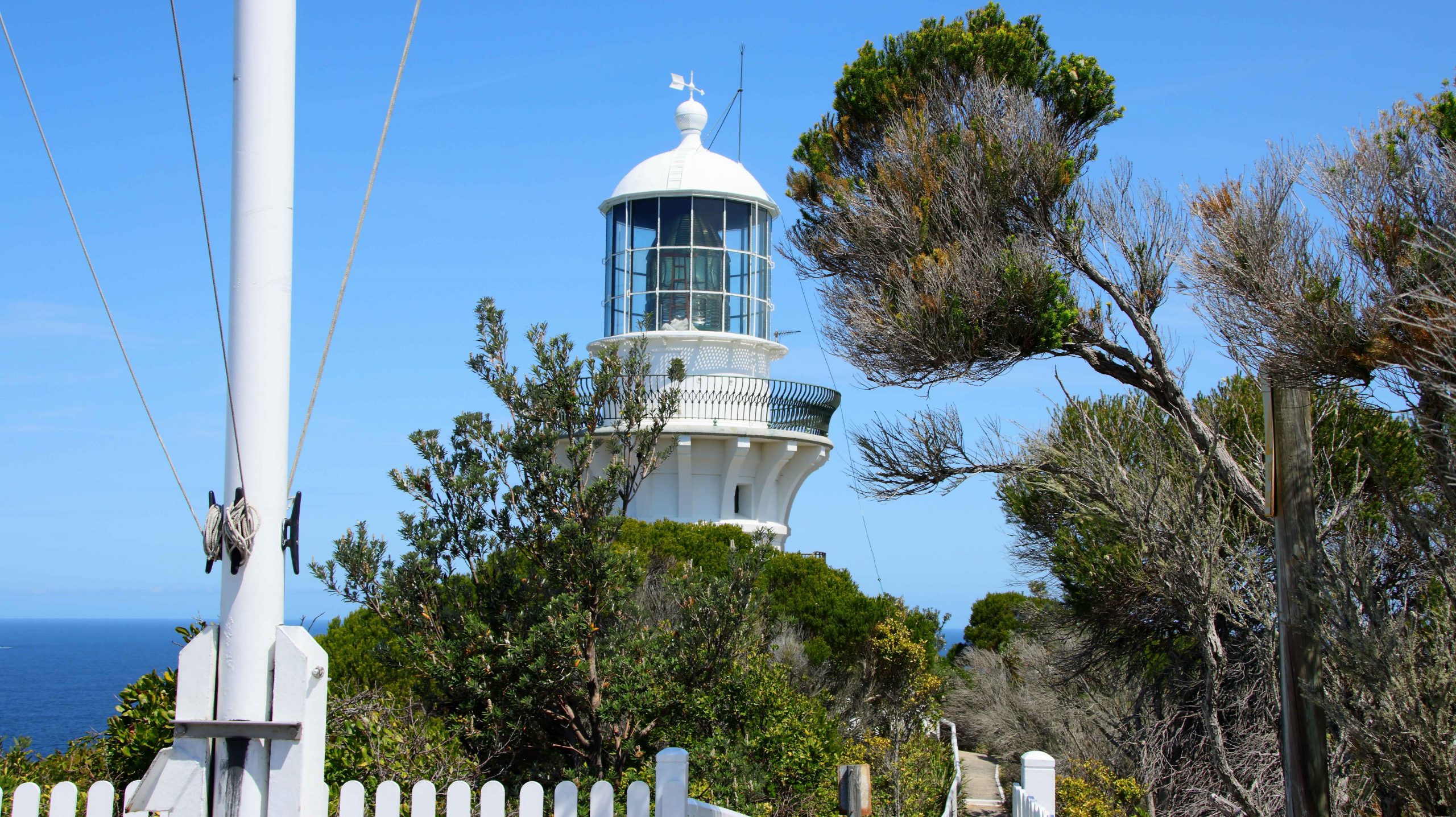
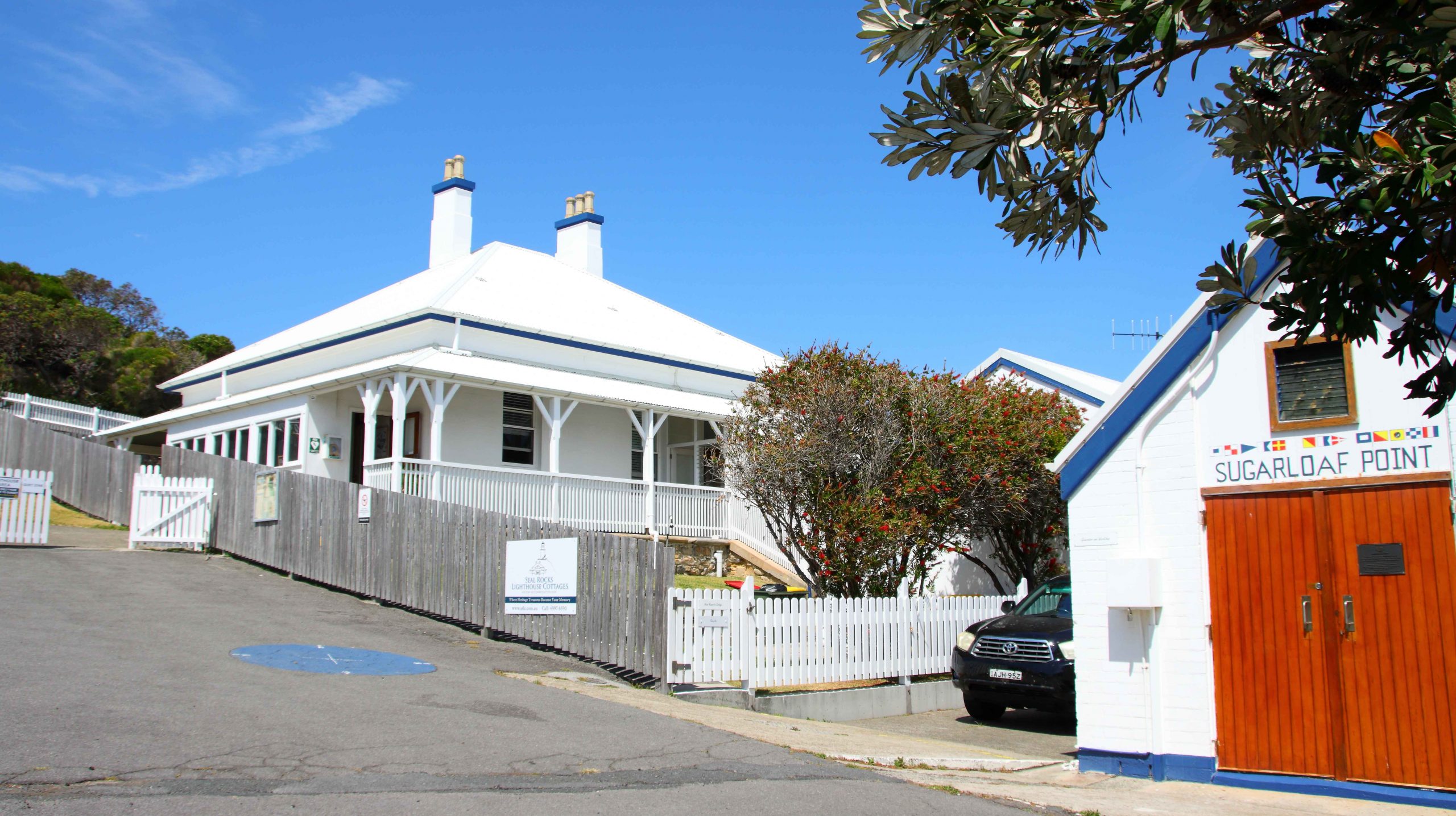
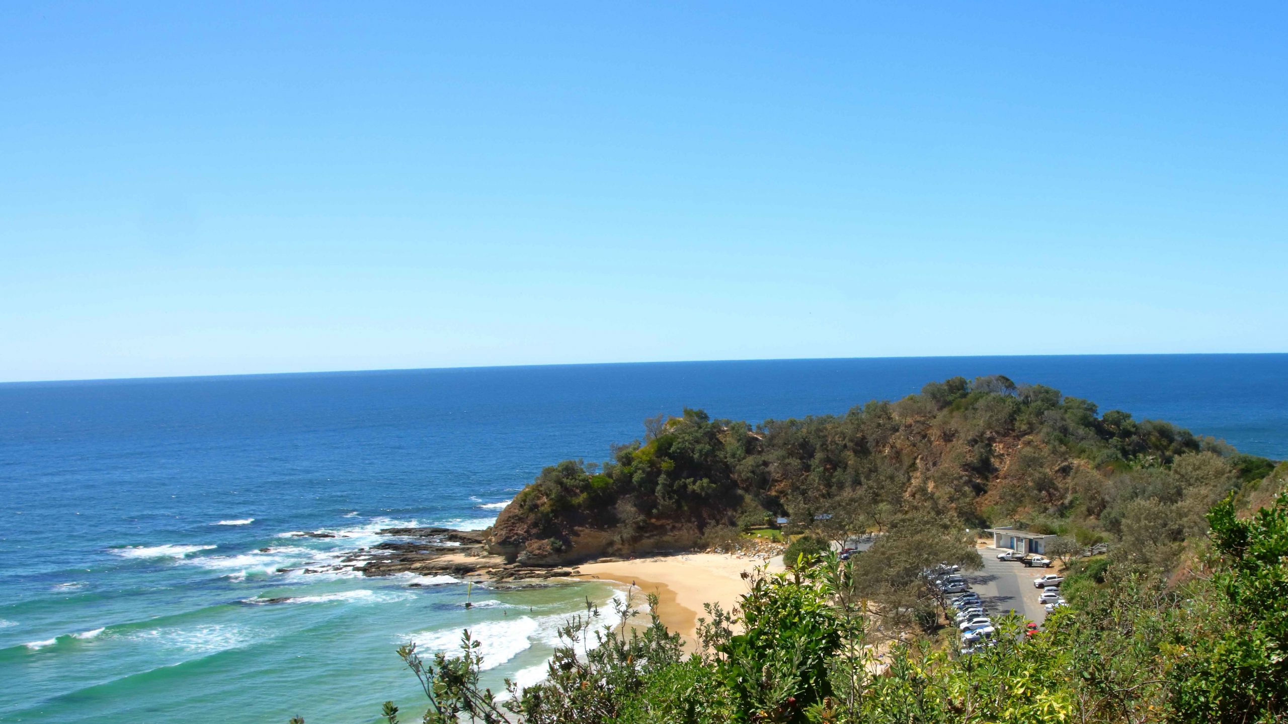
Seal Rocks has some significance to me as it was a place that my father always wanted to go to fish. But around thirty years ago it was the first landfall sighted on the second morning of our voyage when I sailed a yacht bought in Sydney up the coast to Brisbane. I climbed to the lighthouse on my recent visit to look down onto the rocks from which it gets its name. They are low and flat and not all that conspicuous from the water, hence the lighthouse that is still in operation. The rocks do however appear much more significant from the deck of a small yacht, particularly one that you own and must navigate safely past the rocks.

Surging waves at the base of the headland of Sugarloaf Point.
Lighthouse Beach at Seal Rocks, NSW.
Seal Rocks lighthouse is an active lighthouse but long since converted to automatic operation.

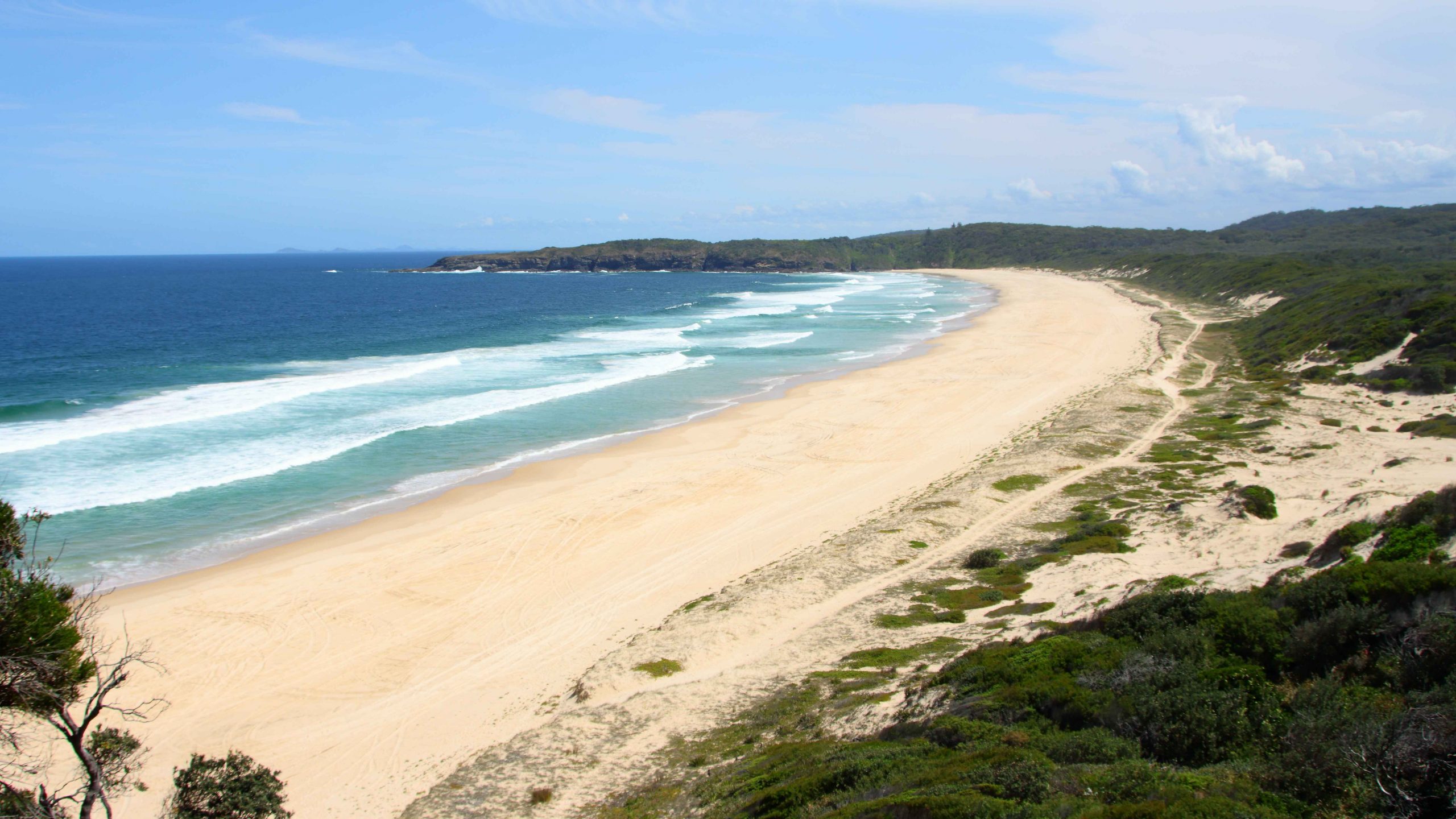
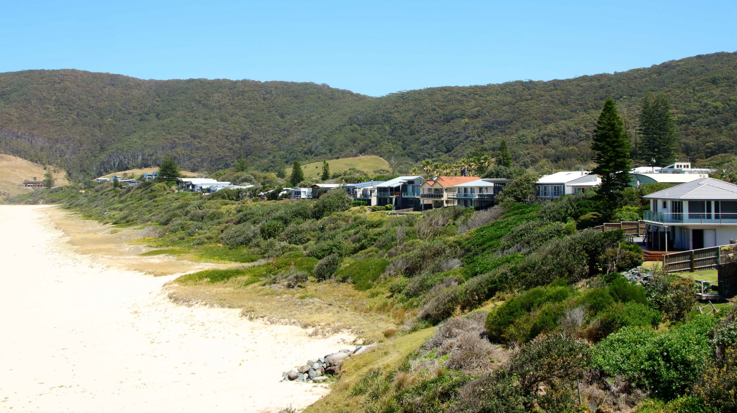
Like much of that coast, it is a very attractive with a surprising number of good quality houses and a caravan park. Its popularity is drawn from its kindness to the fishermen who visit it and the pleasant beaches that keep families happy and compensate for the attention of the fisherman (hunter gatherer?) being directed elsewhere.

An original lighthouse keeper residence and the local lifesaving club building at Sugarloaf Point.
Boat Beach, Seal Rock. The lighthouse is over the hill to the right.
Number One Beach at Seal Rocks, NSW.
A juvenile Osprey waiting for food at its National Parks provided nesting platform north of Tiona on The Lakes Way, NSW.

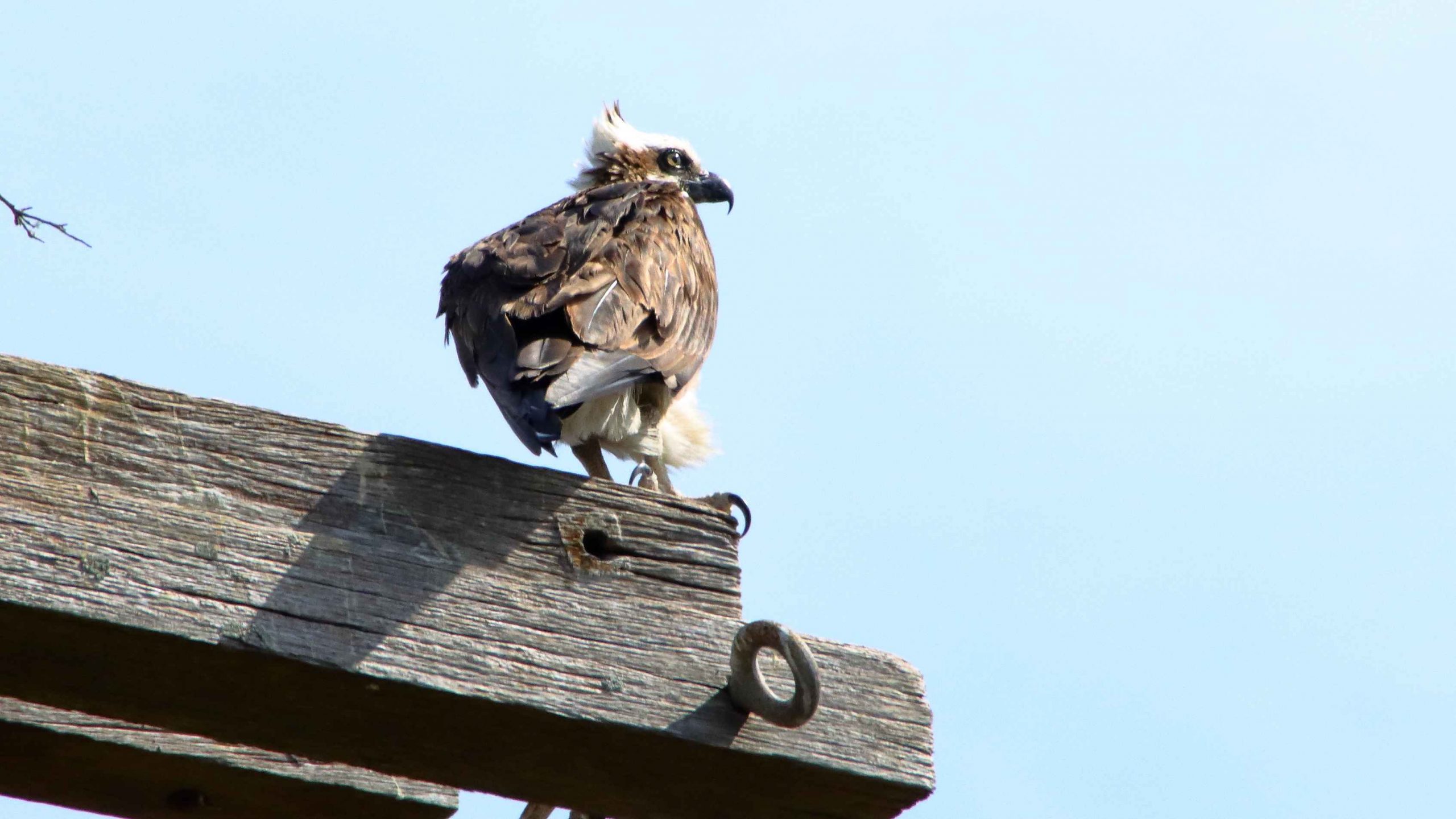
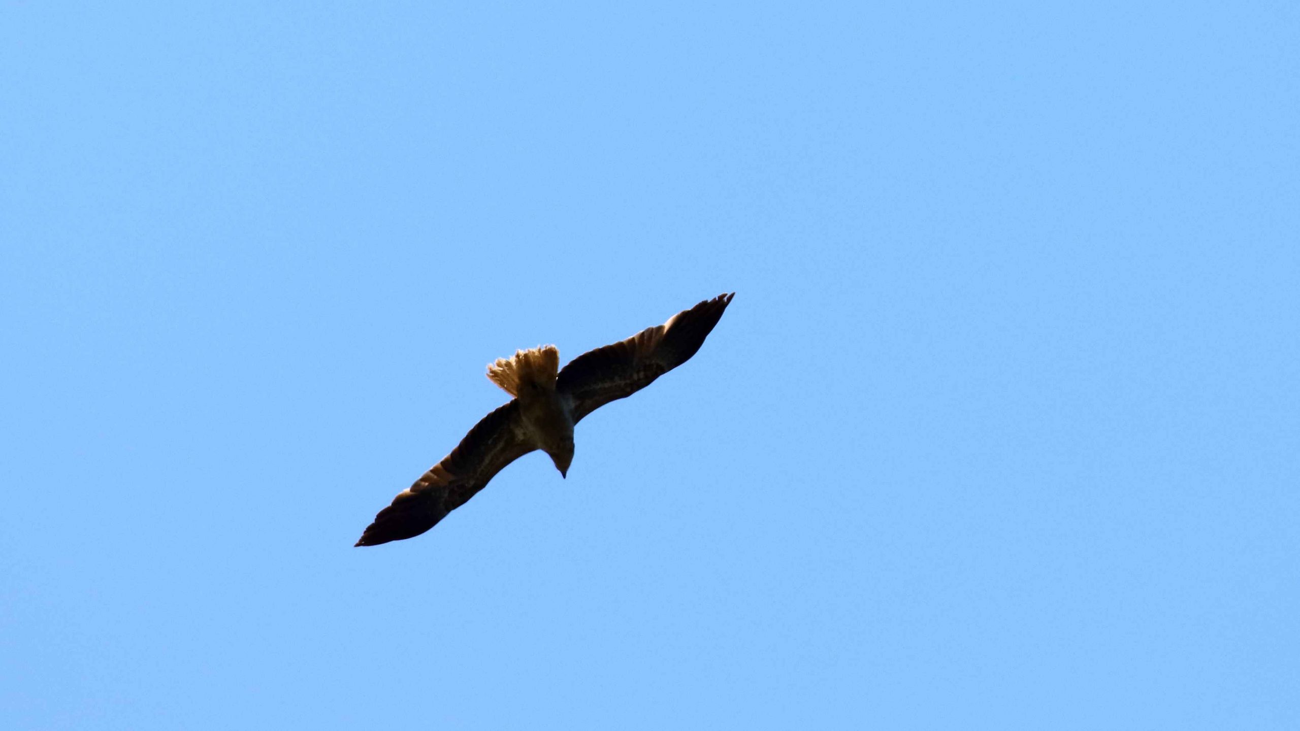
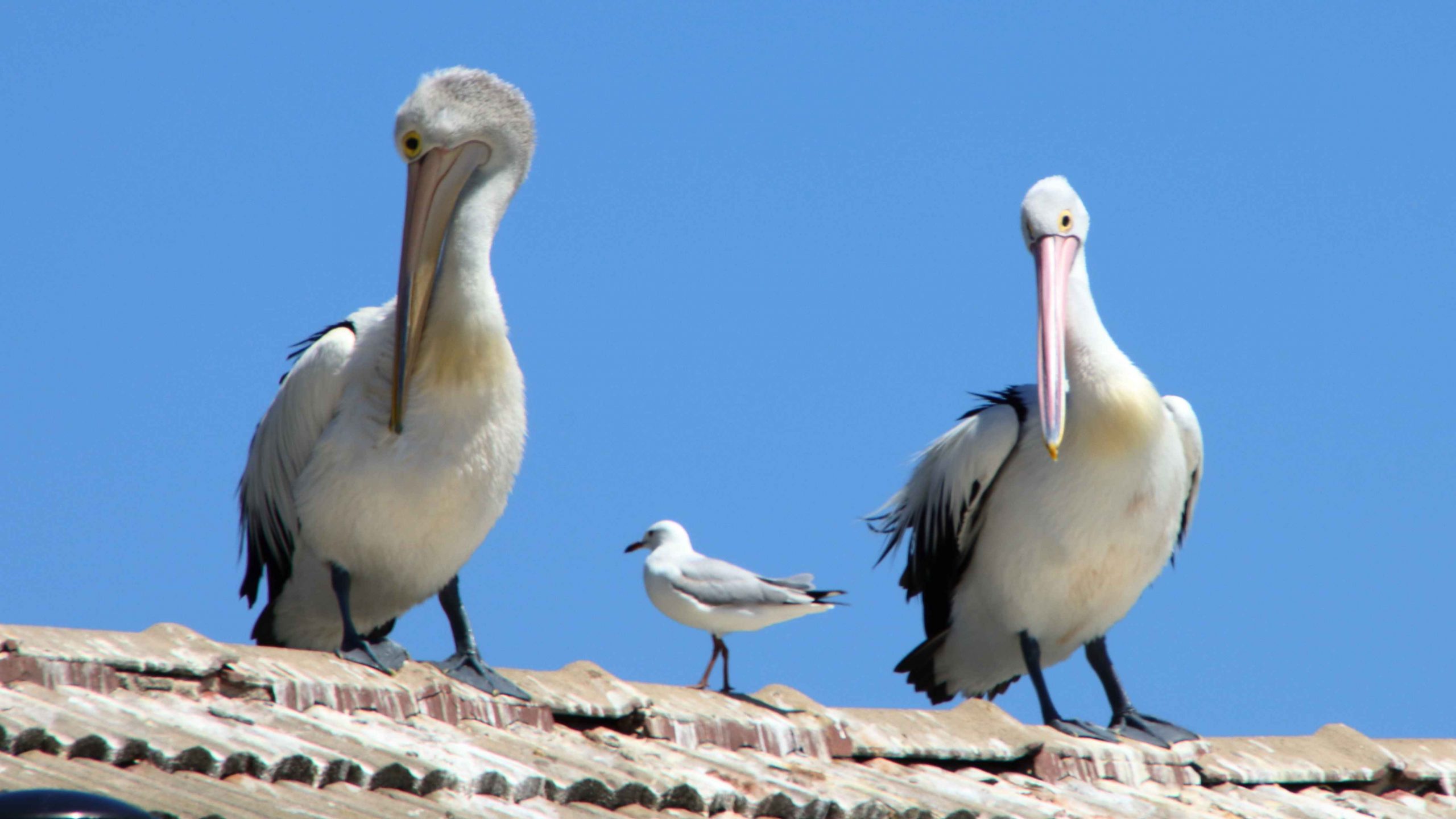
After Seal Rocks we returned to The Lakes Way and continued towards Forster, pausing at a Osprey nesting platform to photograph a juvenile bird that was perched, probably waiting to be fed. After a quick lunch for ourselves in Forster, we continued on our way to Harrington to occupy our cabin.

Crowdy Head Harbour at the mouth of the Manning River, NSW.

We had booked Harrington for two nights but were offered a third night at half rate, which we accepted. But when we checked in their booking system was down. “We will fix the problem tomorrow”, they said. But when tomorrow came and the system was back online, they discovered that the cabin had been booked by someone else for that night. They didn’t offer an alternative and we didn’t ask. Instead, we booked one night at a motel in Taree.

Great Eastern Egret at Cattai Wetlands, Coopernook, NSW.
A gliding Brahminy Kite at Cattai Wetlands.
Australian Darter and Little Pied Cormorant. They wouldn’t need to travel far for food.

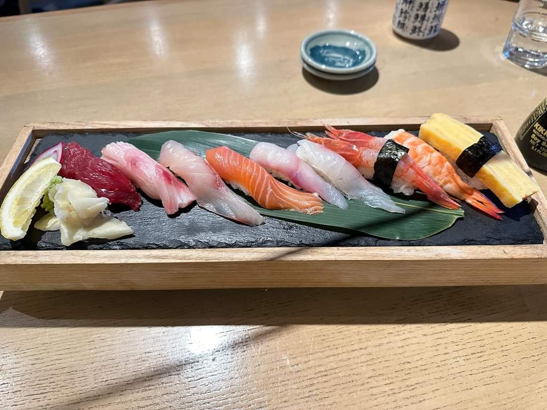
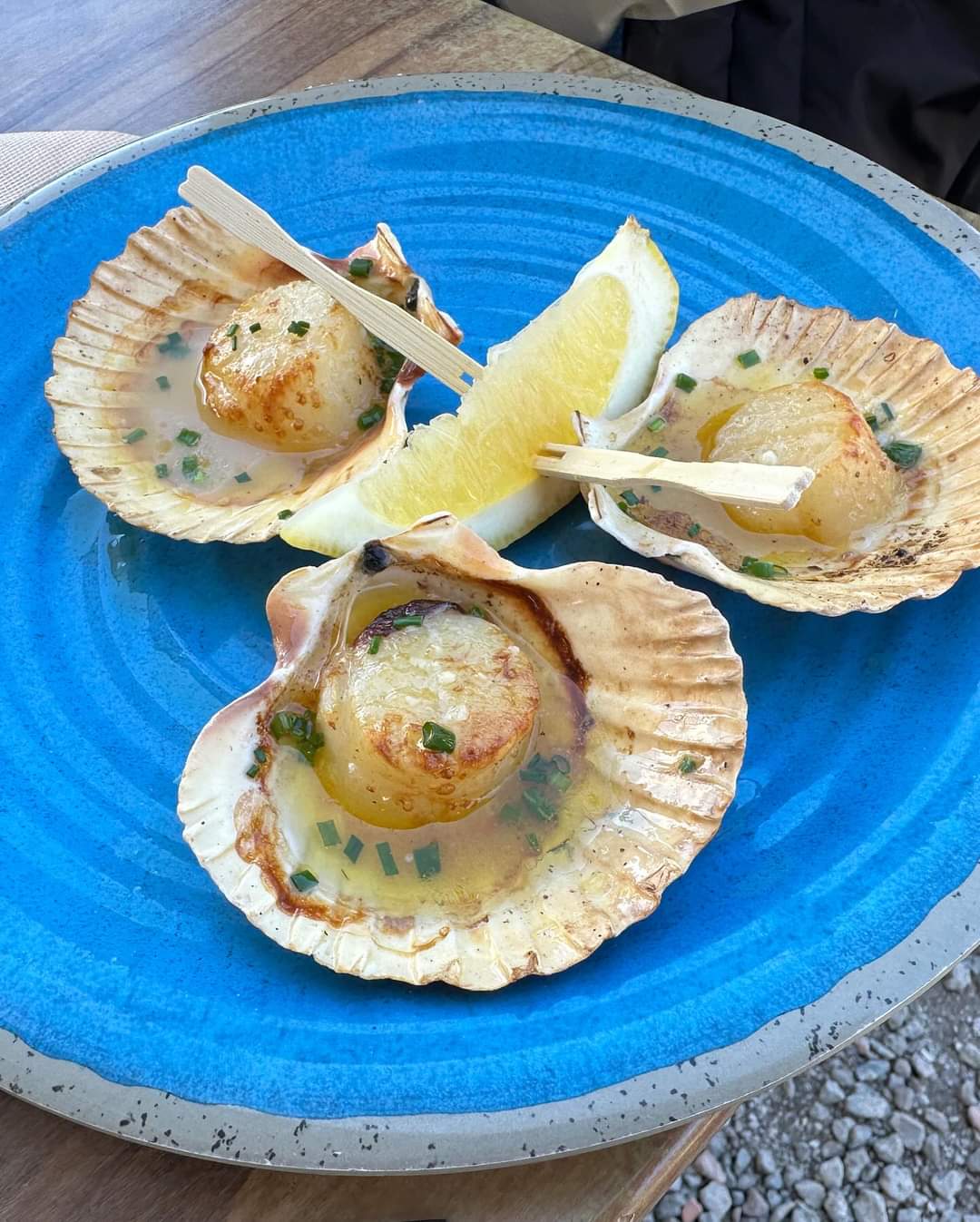
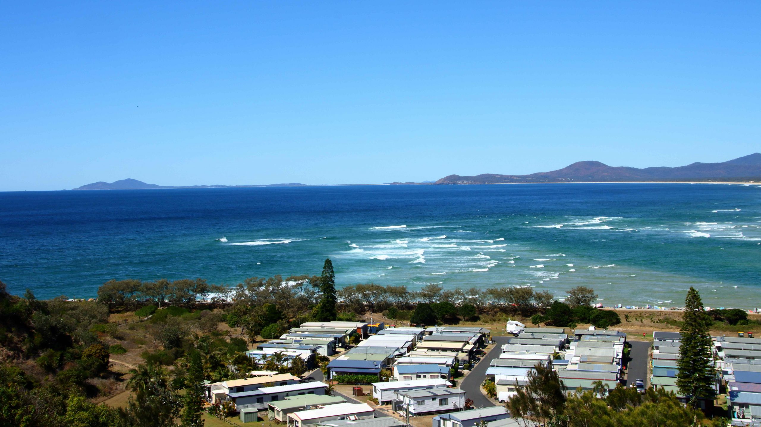
On our first day in Harrington, we spent the morning catching up on washing followed by a sea food lunch at neighbouring Crowdy Head. A sea food meal as we watched the sea, with Whales frolicking in Crowdy Bay wa just the ticket. We weren’t complaining at all.

There were multiple hectares of waterlilies at Cattai Wetlands.
More waterlillies

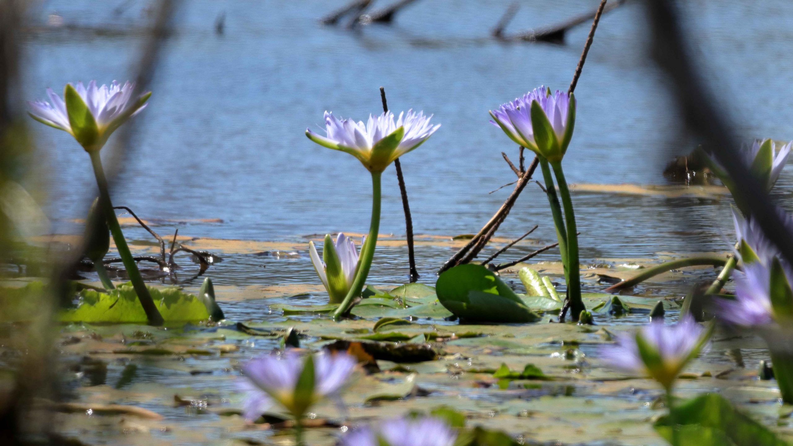
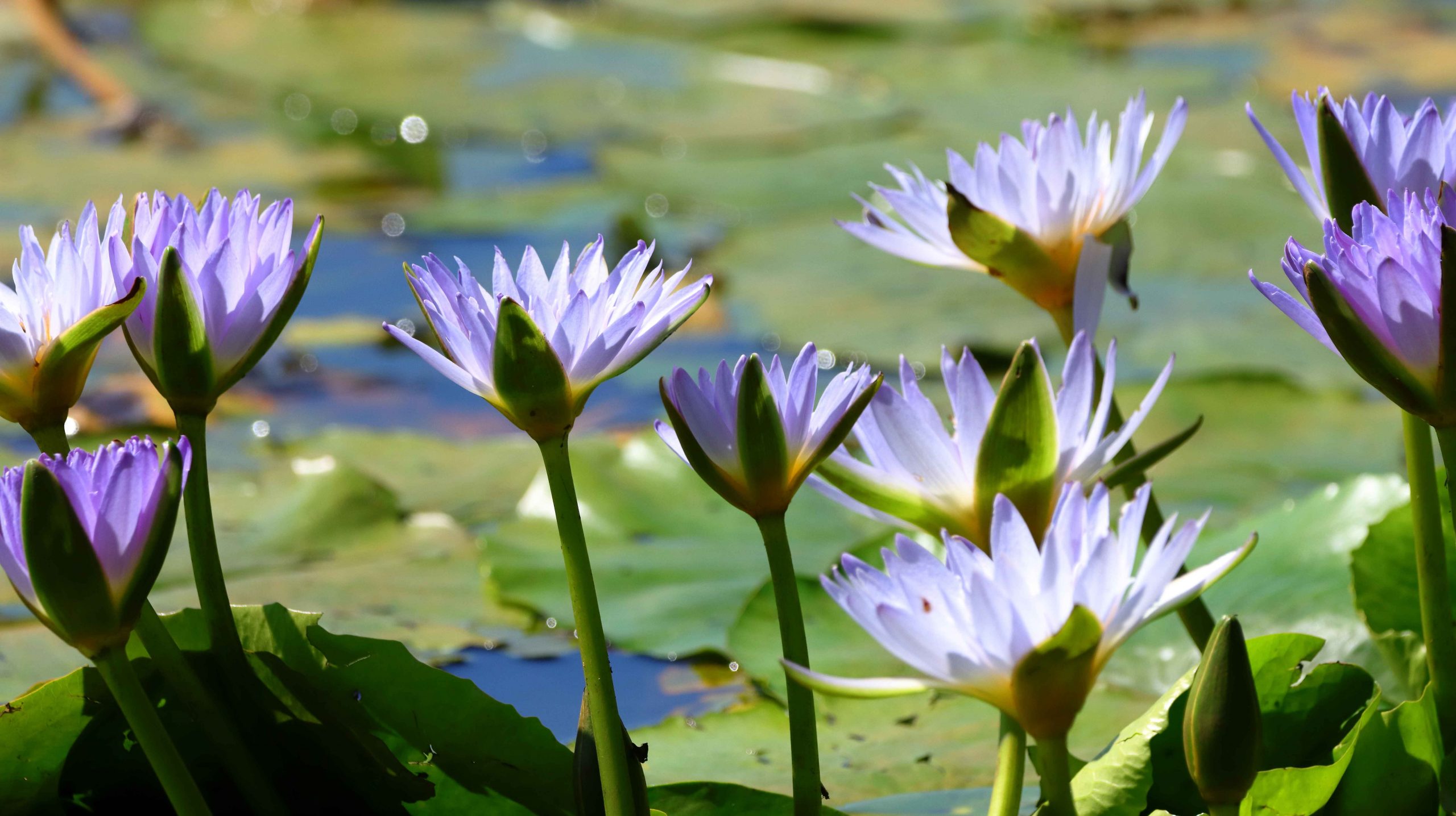
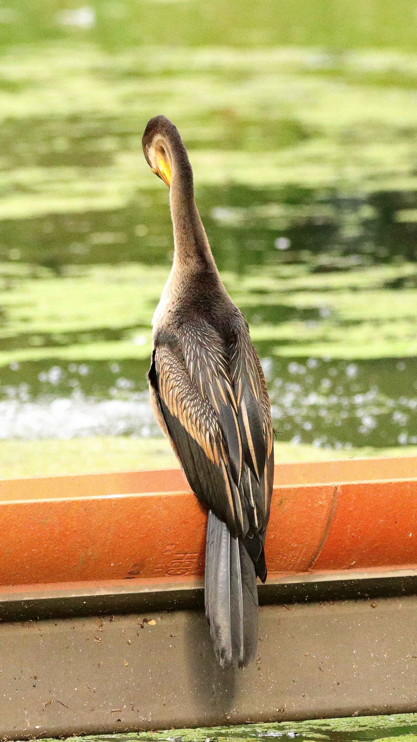
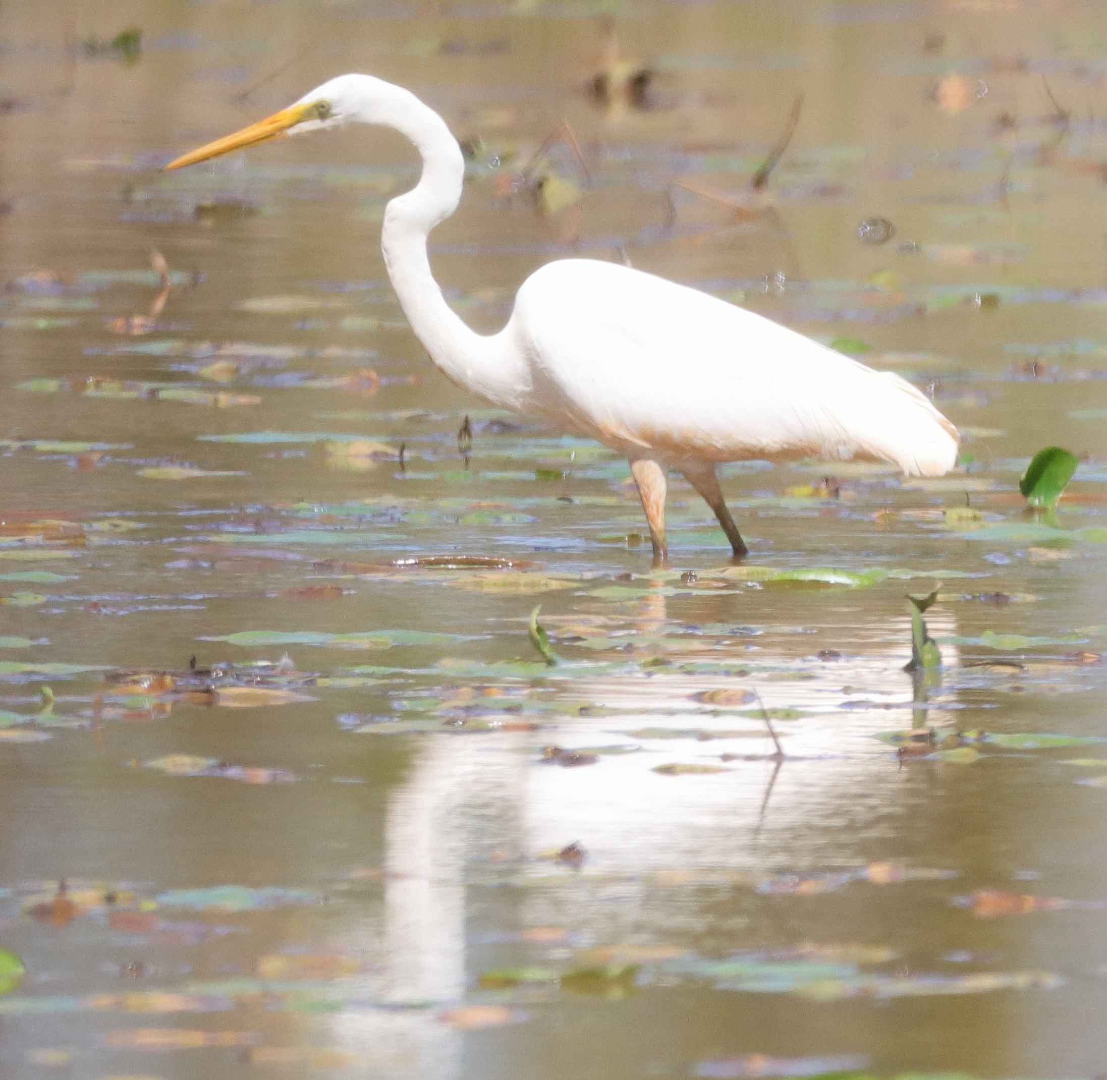
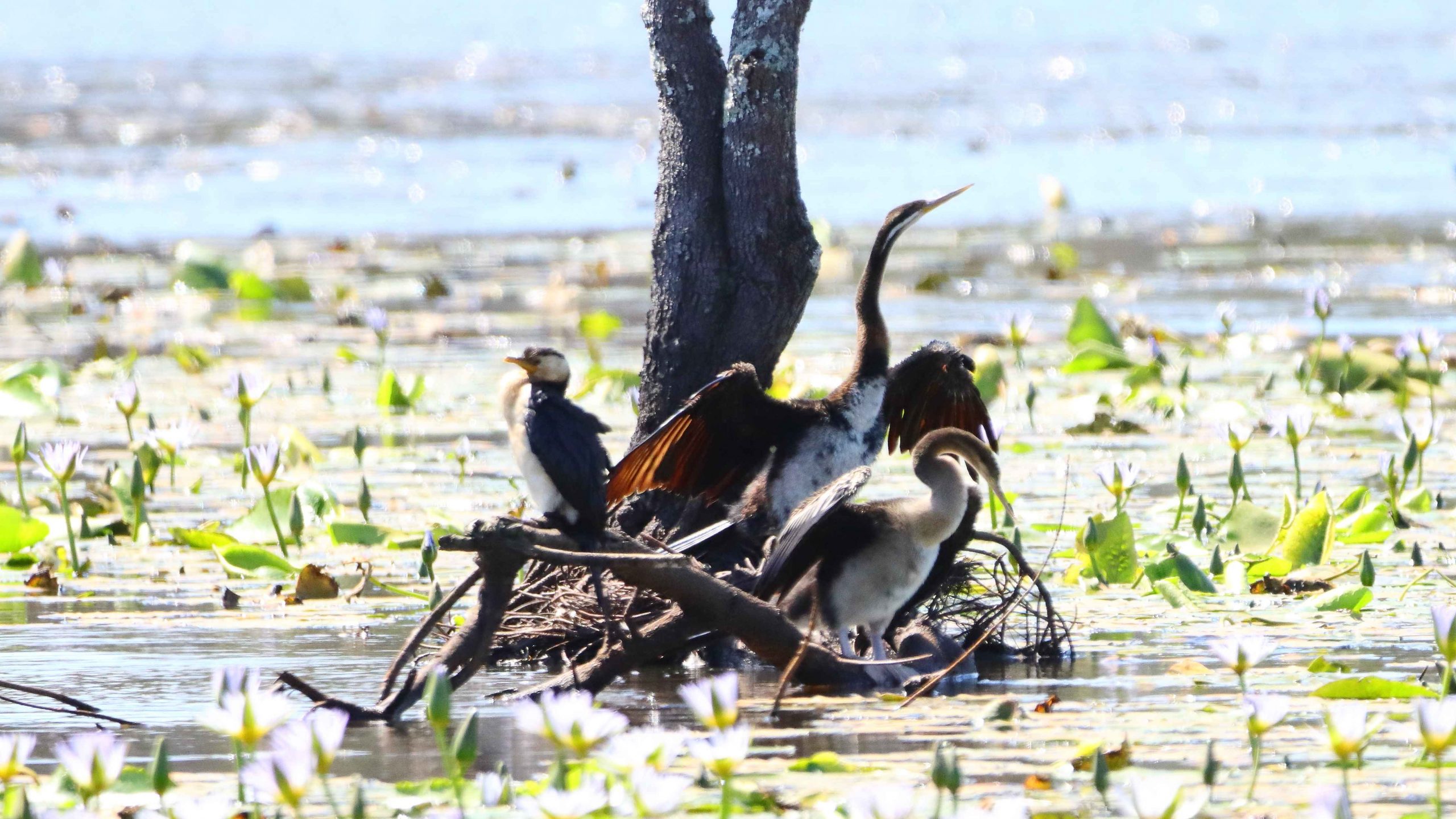
After lunch we drove back past Harrington to the Pacific Highway at Coopernook so that I could take a walk around the 2.5-kilometre track at Cattai Wetlands. The position of the sun was a problem, morning would have been better, but I saw and photographed a few birds and viewed wide areas of water lilies. I am a bit of a fan of water lilies. The walk was most enjoyable but was terminated at increased speed when I realised, about three quarters of the way around, that I was running out of time. The area closed at 3.00 pm, just 20 minutes away.

The famous Gantry. So well known that an eating place in town is named after it, The Gantry.

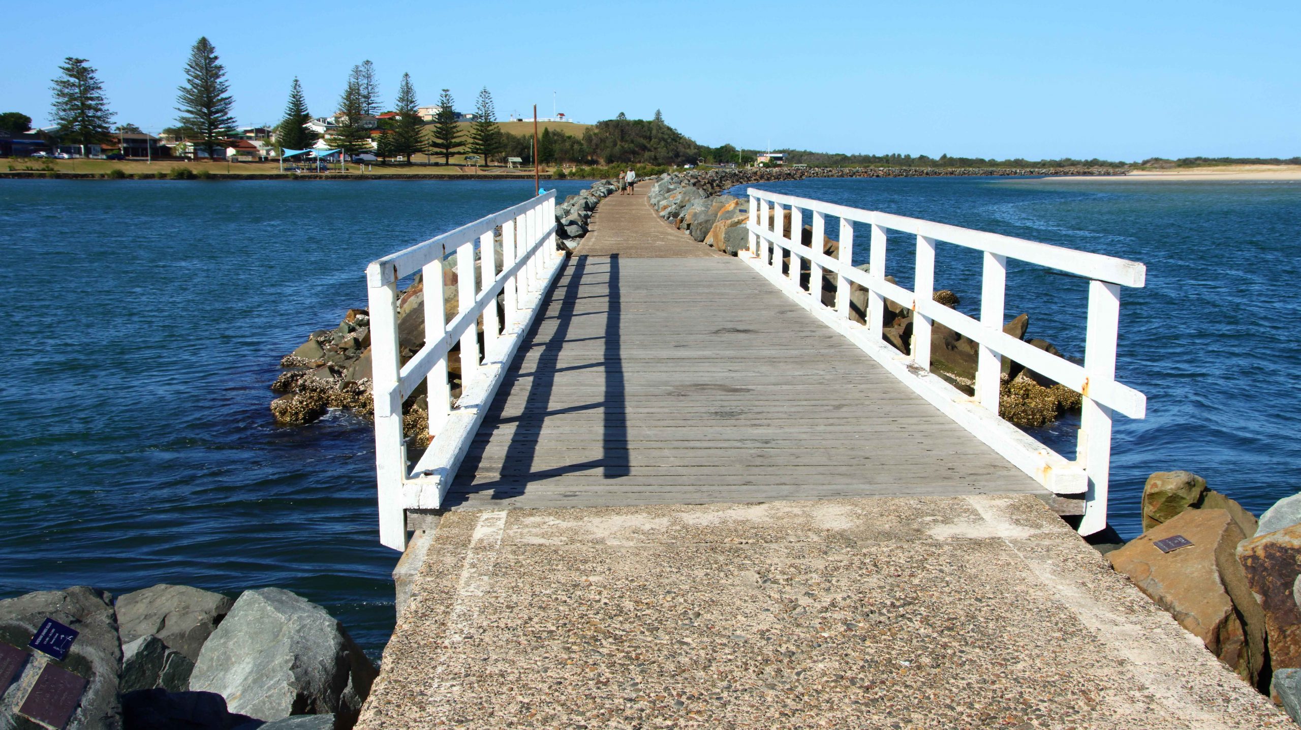
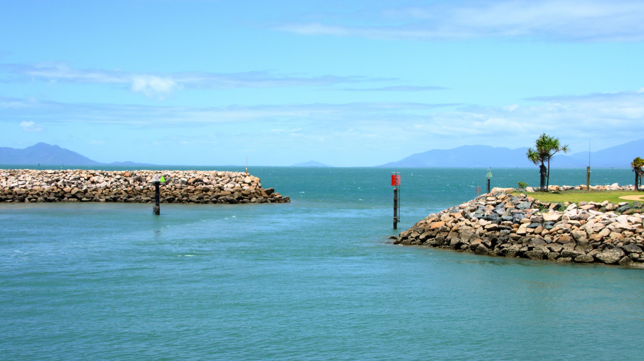
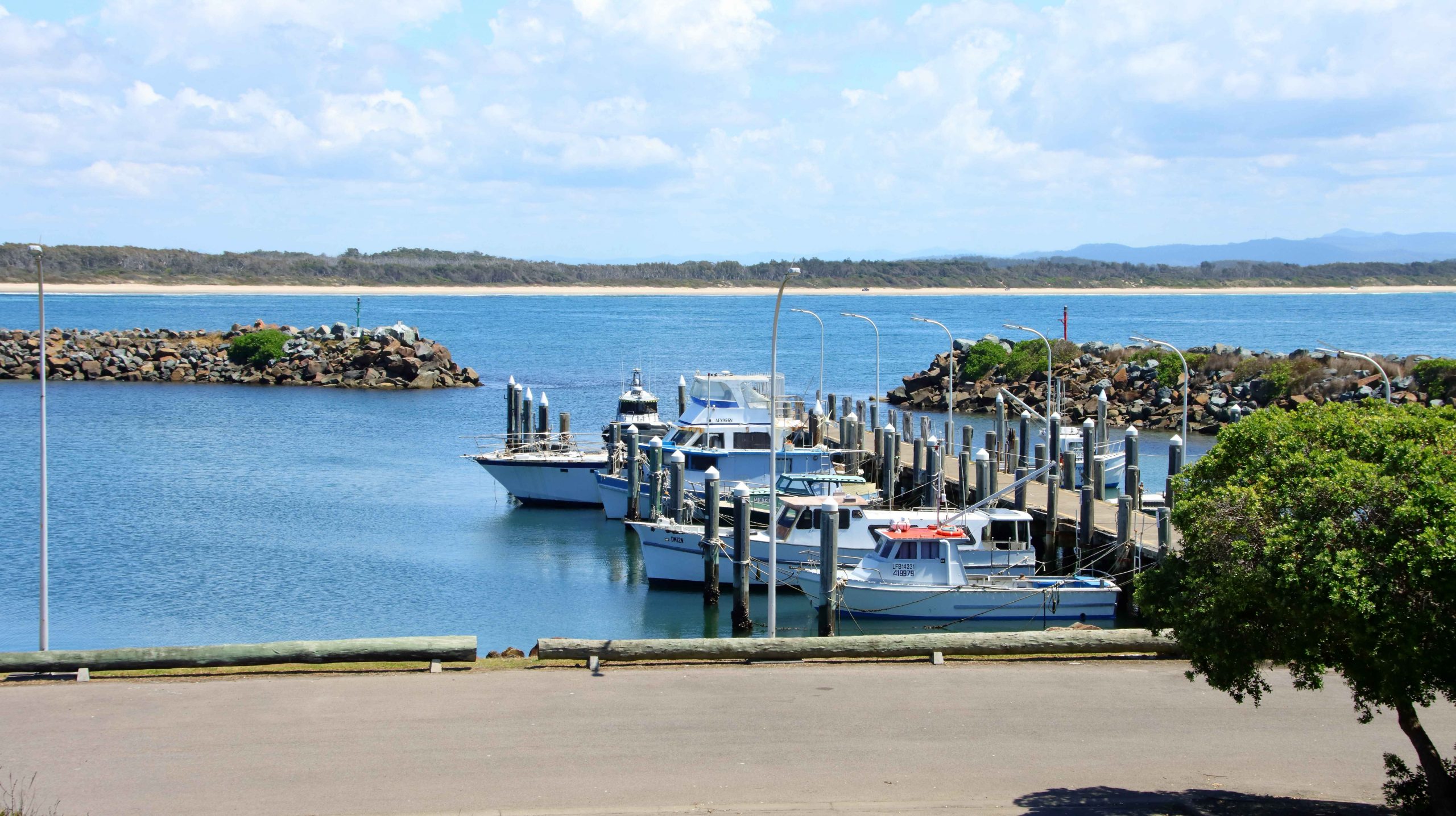
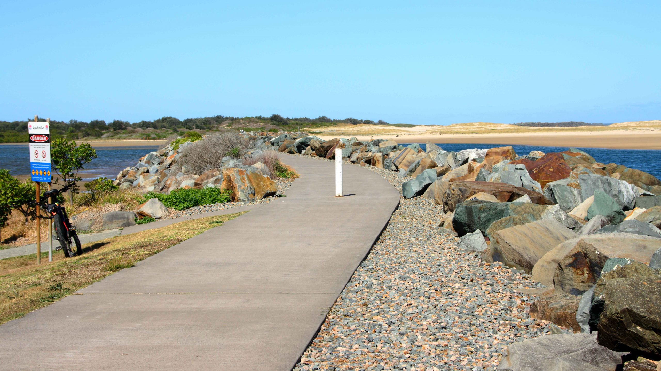
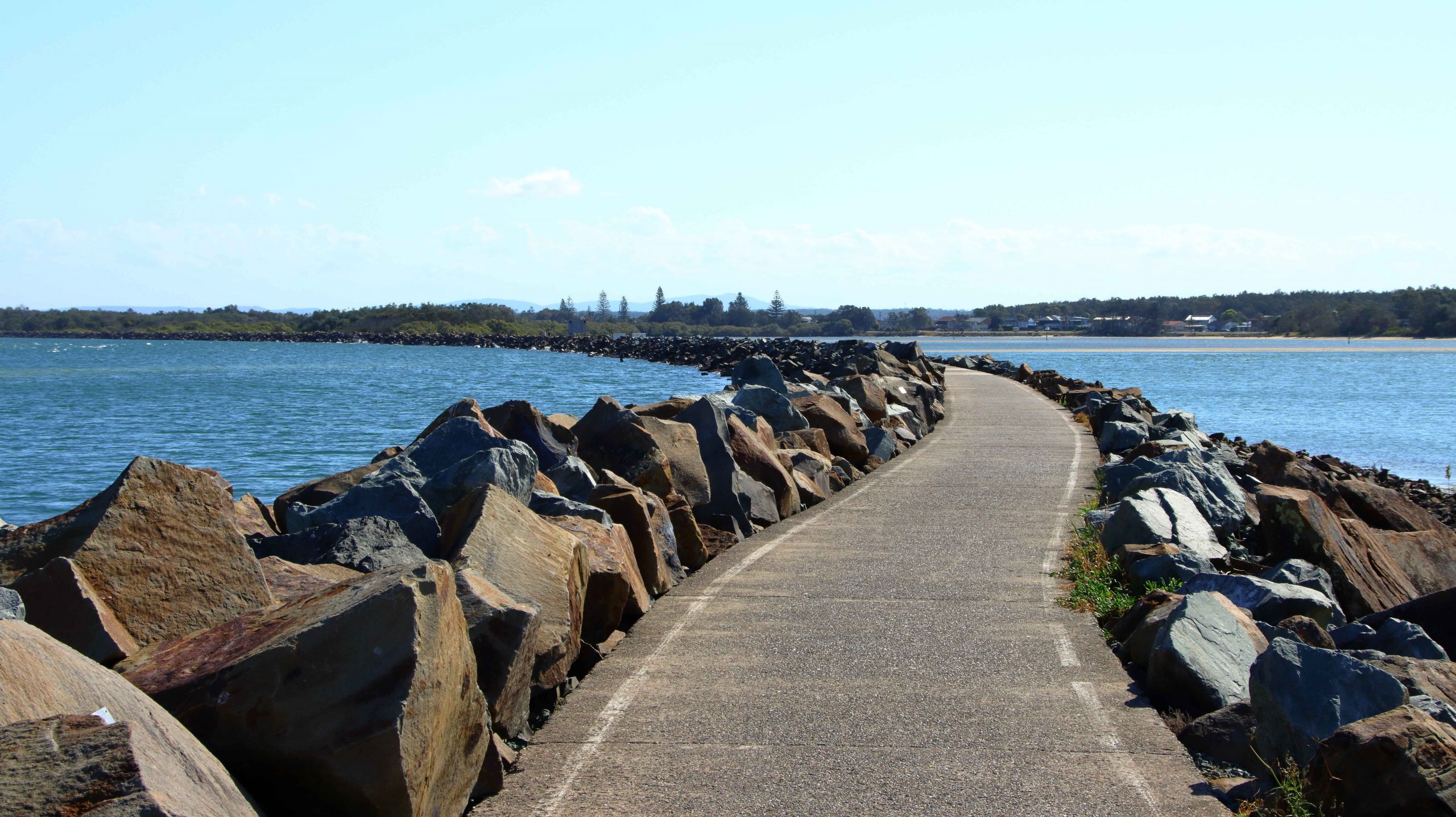
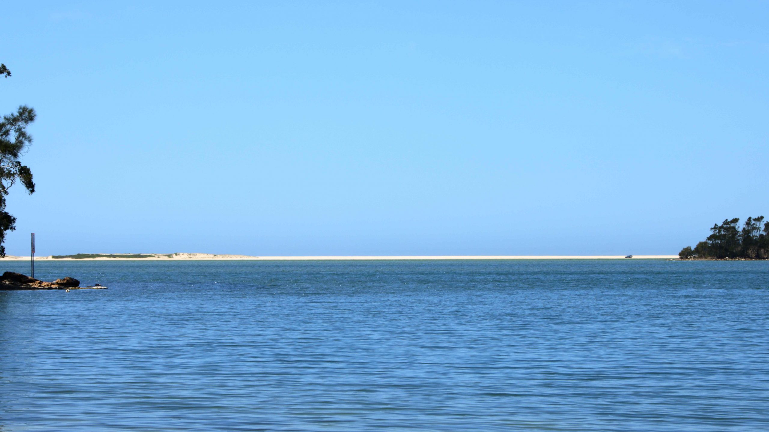
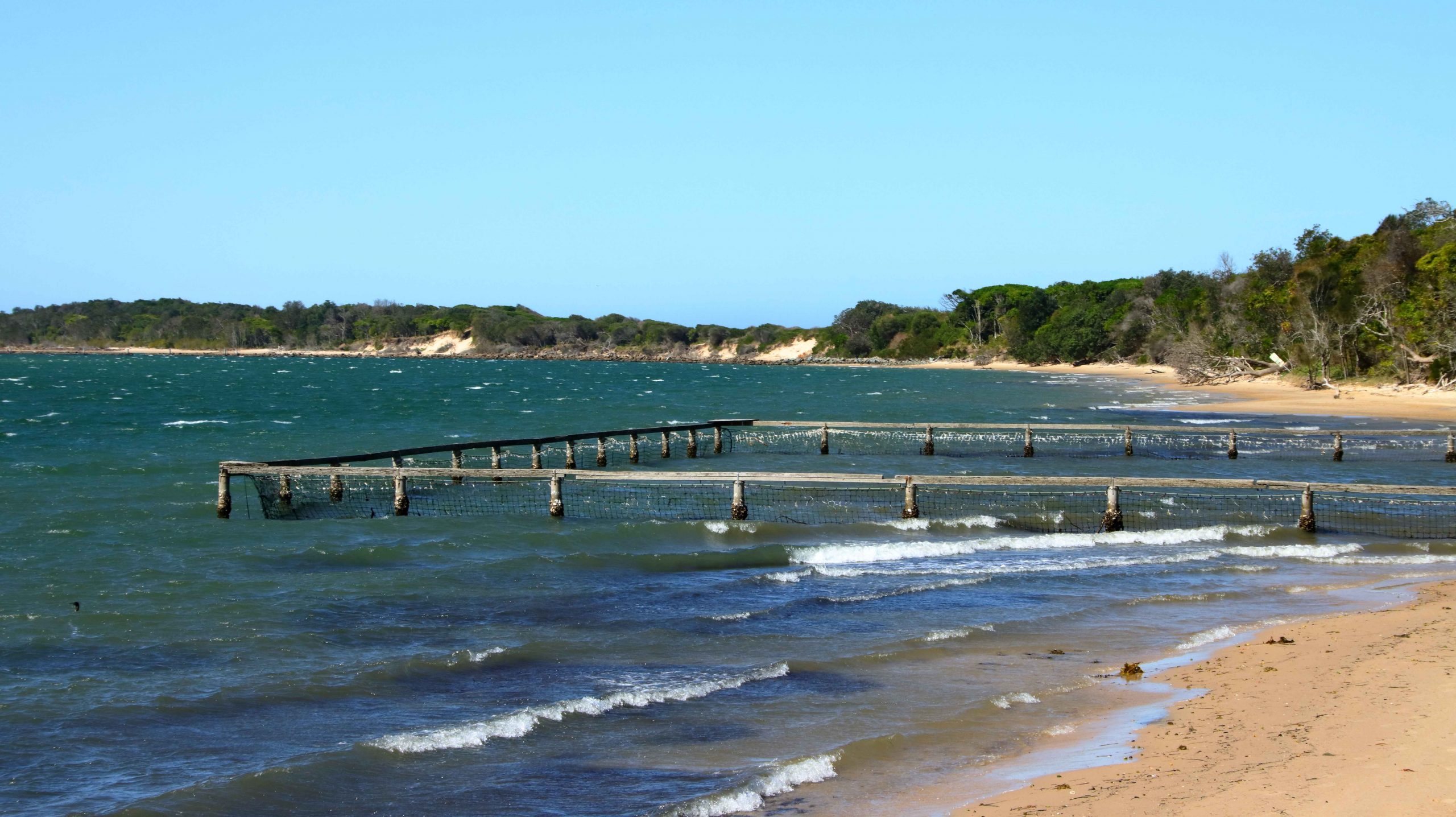
Finally, before we returned to our cabin, I did a walk along the rock training wall at Harrington. This wall was a favourite fishing site for my father from the days of his youth and a site to which he took us on holidays a number of times. It was also a favourite with my late brother Ivan. Despite the pleasantness of the afternoon there was not a fishing person in sight. I walked about 75% of its length, pausing to read many of the memorial tributes to departed fishermen that have been fixed to the rocks along the wall.

The stone wall has a bridged gap, known as The Gantry. I recall it being one of Dad’s favourites fishing spots. The wall is built out to an island that is near to the river bank which together with the wall forms an anabranch of the river. The Gantry allows for the ebb and flow of the tides into the lagoon, formed by the wall.

The Eastern end of the Harrington training wall.
The main training wall at Harrington with the river to the left and the lagoon and anabranch of the river to the right.
Manning Point on the southern bank of the Manning, through afternoon salt haze.
Pilot Hill at Harrington. Ships were guided over the bar from this vantage point in the early days of settlement.
The Training Wall and Manning Point from Pilot Hill. You can see the size of the lagoon. Tidal waters flow to and from it through The Gantry.
Norfolk Pines in Harrington’s main street with the lagoon behind.
The main street of Wootton and The Wotton Way.

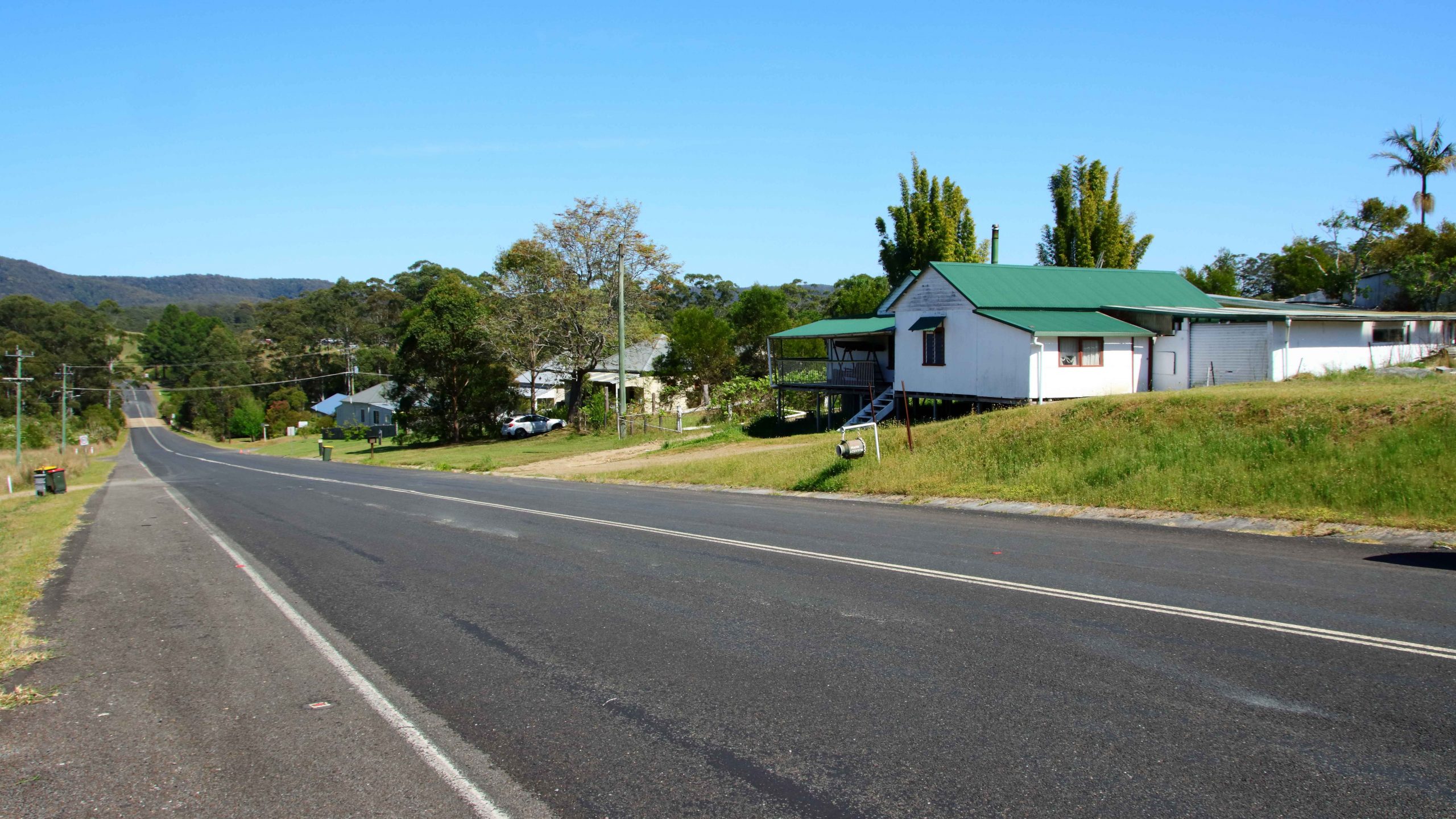
Thursday was exploring day. We turned south and turned into Wootton Way which, when we lived on it was called plain old Wootton Road. It was part of a string of roads that lead from near Newcastle to Taree. In their early married life my parents tried to eek a living out of a soldiers settlement block on Newmans Road, that joined Wootton Road at Wotton. The road is still mainly gravel with some patches of sealed road where the road crosses streams. I lived there as a baby and again about 75 years ago, so was not surprised that much did not look familiar. I suspect that the old house is long gone. I think I identified the location, but it was hard to be sure.

Myall Lake at Mayres Point on The Lakes Way.

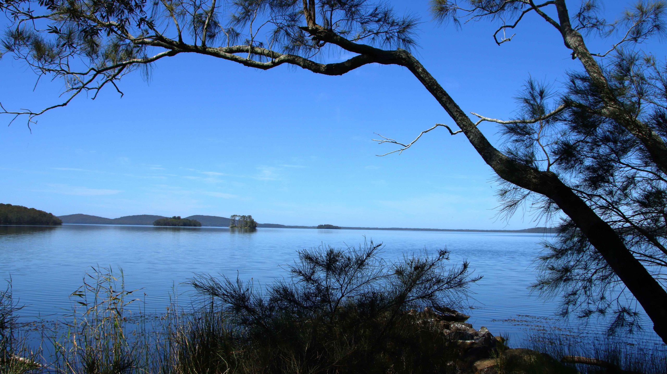
From Wootton we accessed The Lakes Way via Wattley Hill Road, a road that has been there since first settlement in the area, but one over which I had never travelled. We drove in to Myall Lake to check out the sight of Sunday School picnics of three quarters of a century ago. It is now all overgrown.

The Boat House at Smiths Lake, south of Forster, NSW. The building contains a cafe and boating facilities.
The sand bar that separates Smith Lake from the Pacific Ocean. The town of Sandbar is to the left, right on the coast.
Blueys Beach is just off The Lakes Way near Pacific Palms. It was favourite beach for locals in my youth and had only beach shacks.

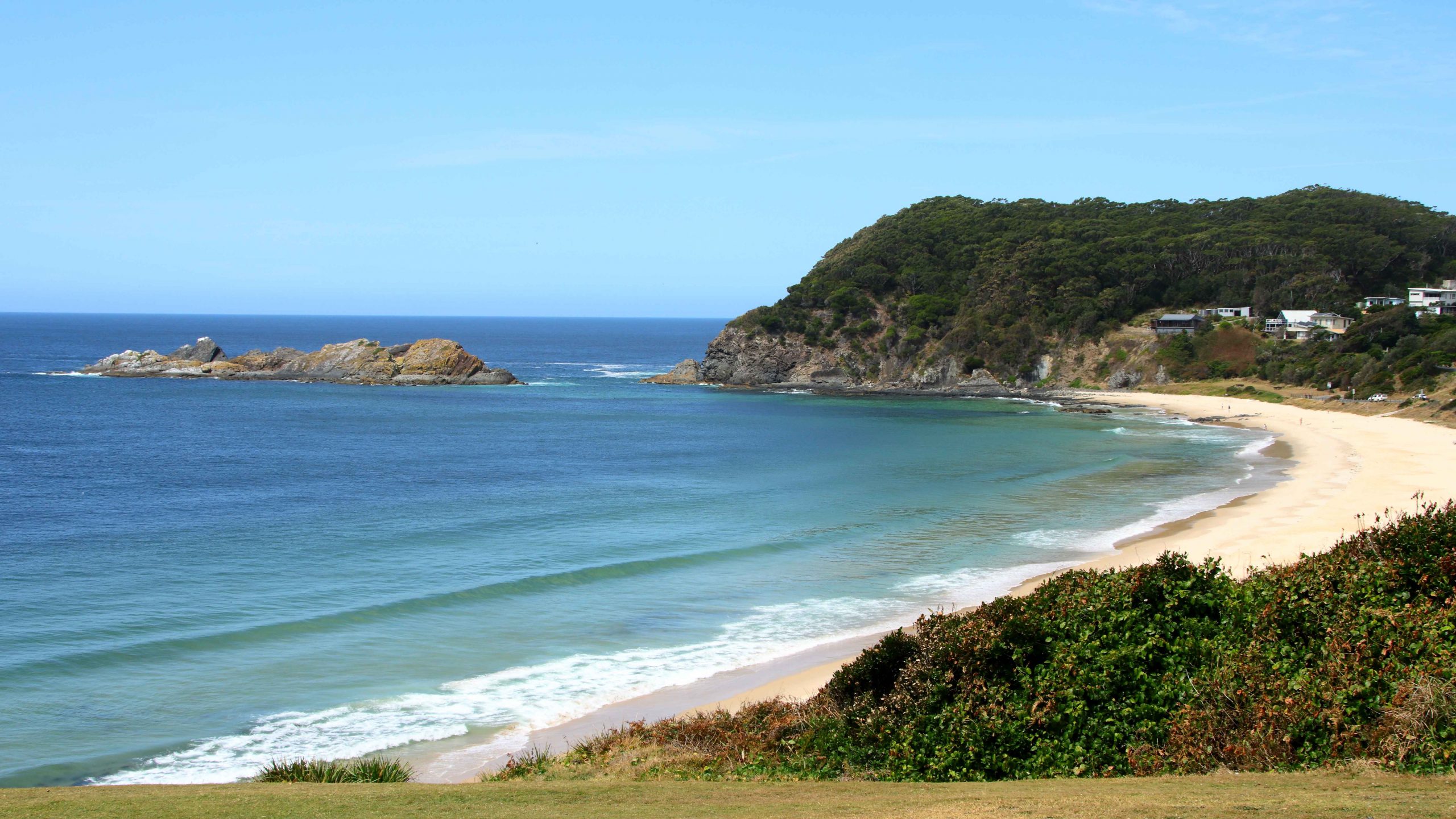
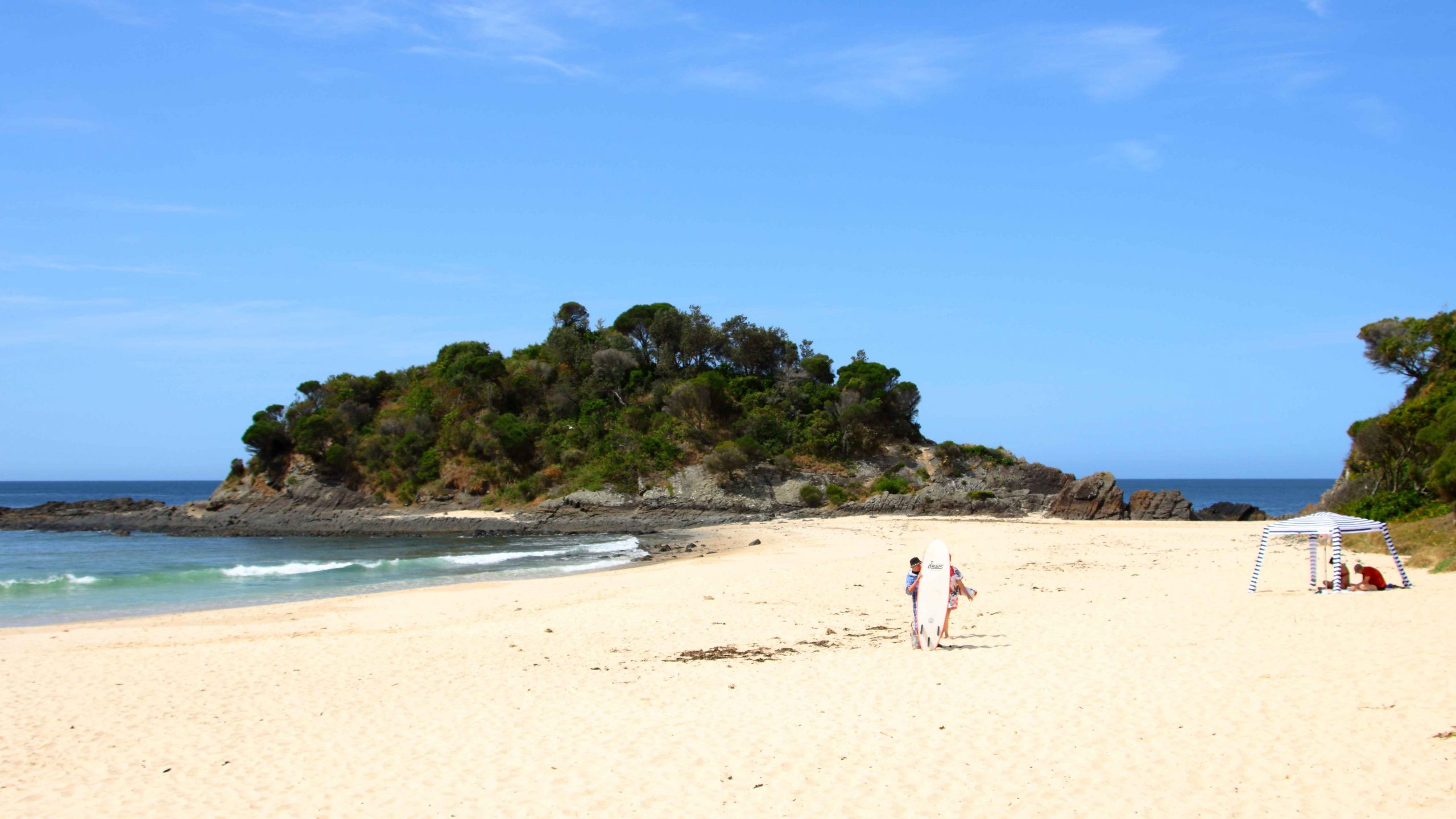
We called in to several beaches that we frequented in younger days including Smith Lake, Pacific Palms, Blueys beach and Elizabeth Beach. We again stopped at Forster for lunch.

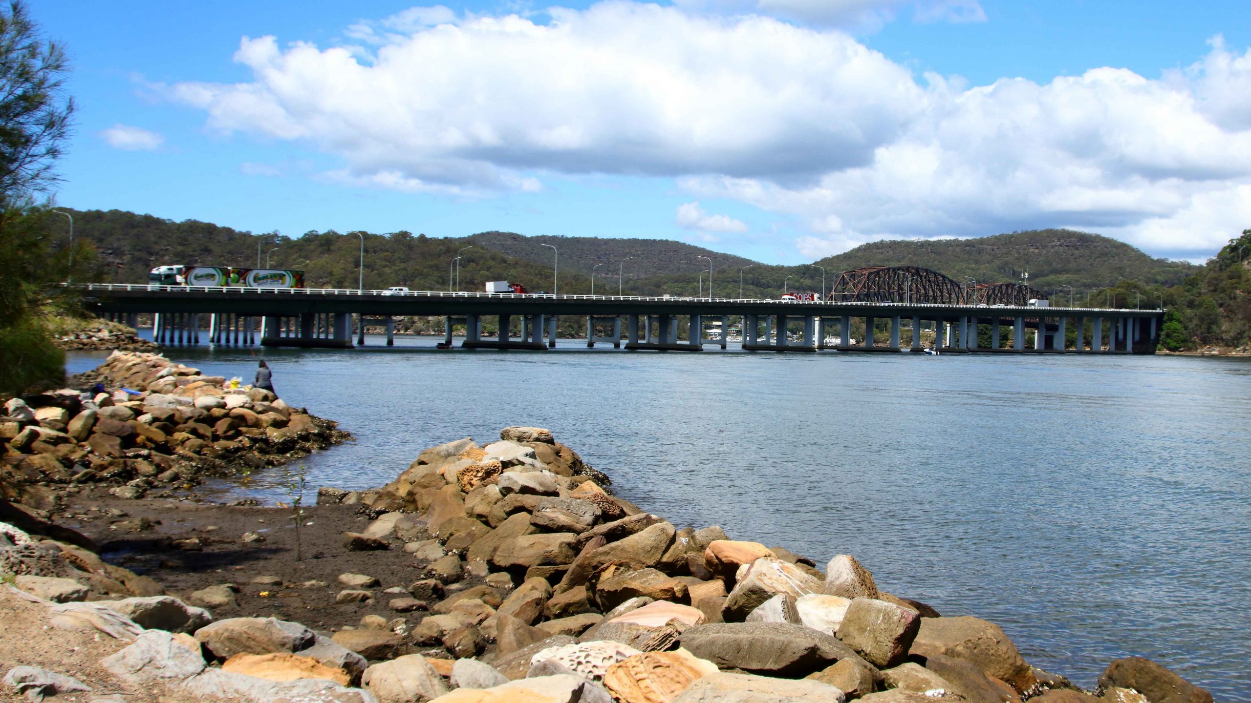
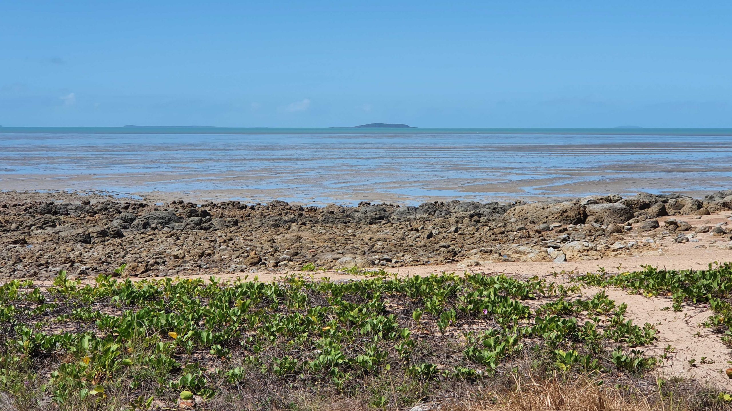
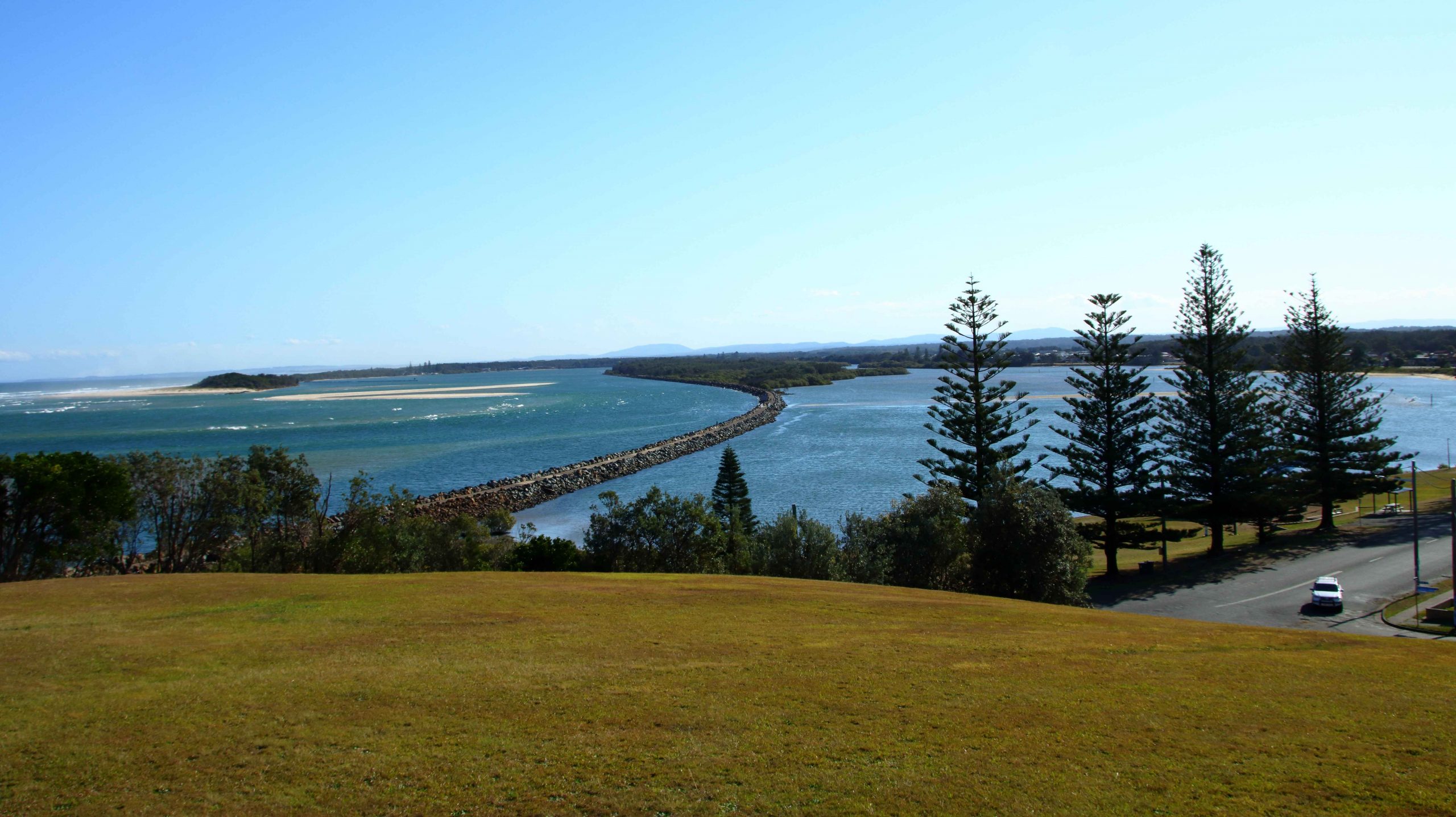
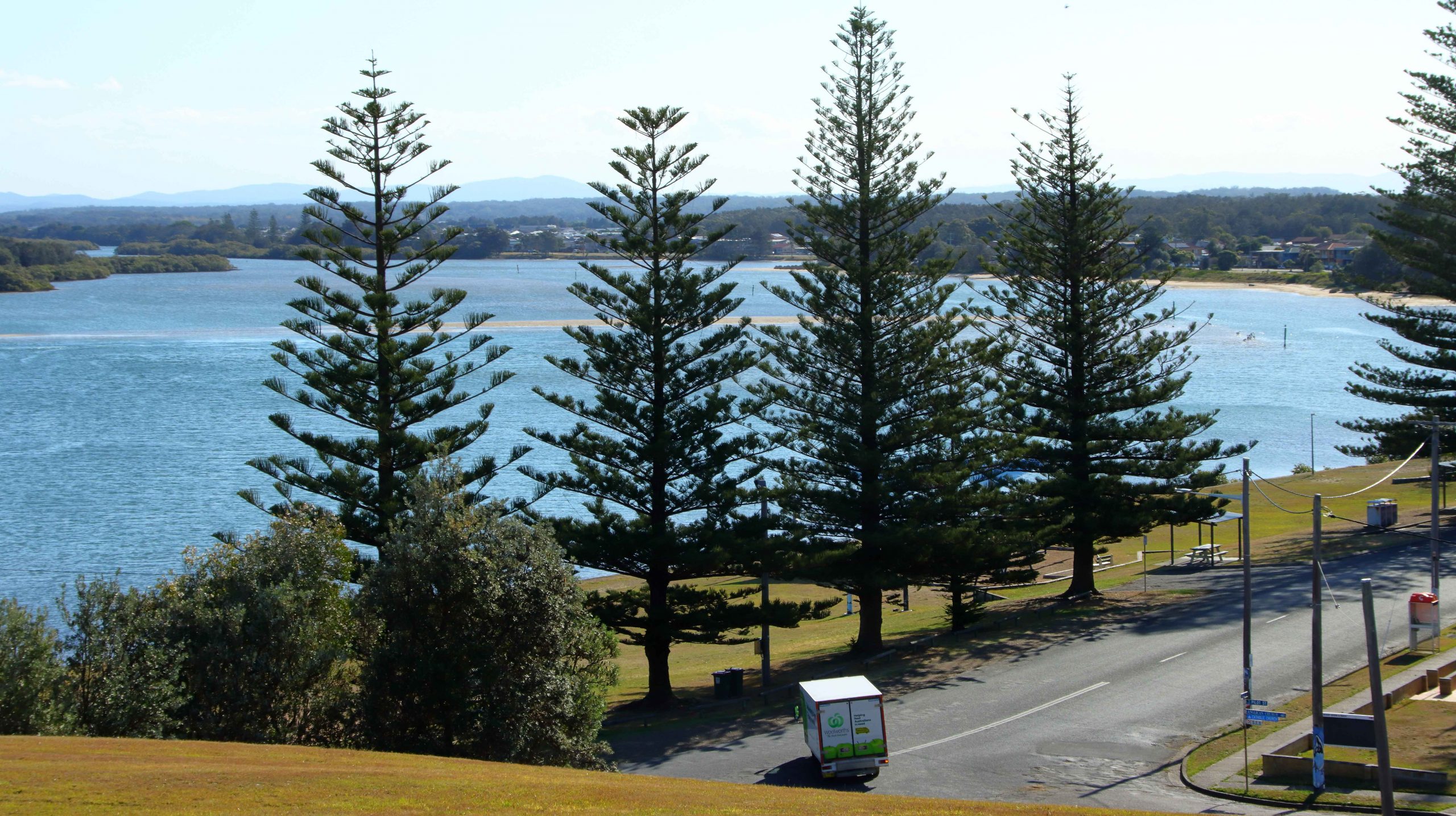
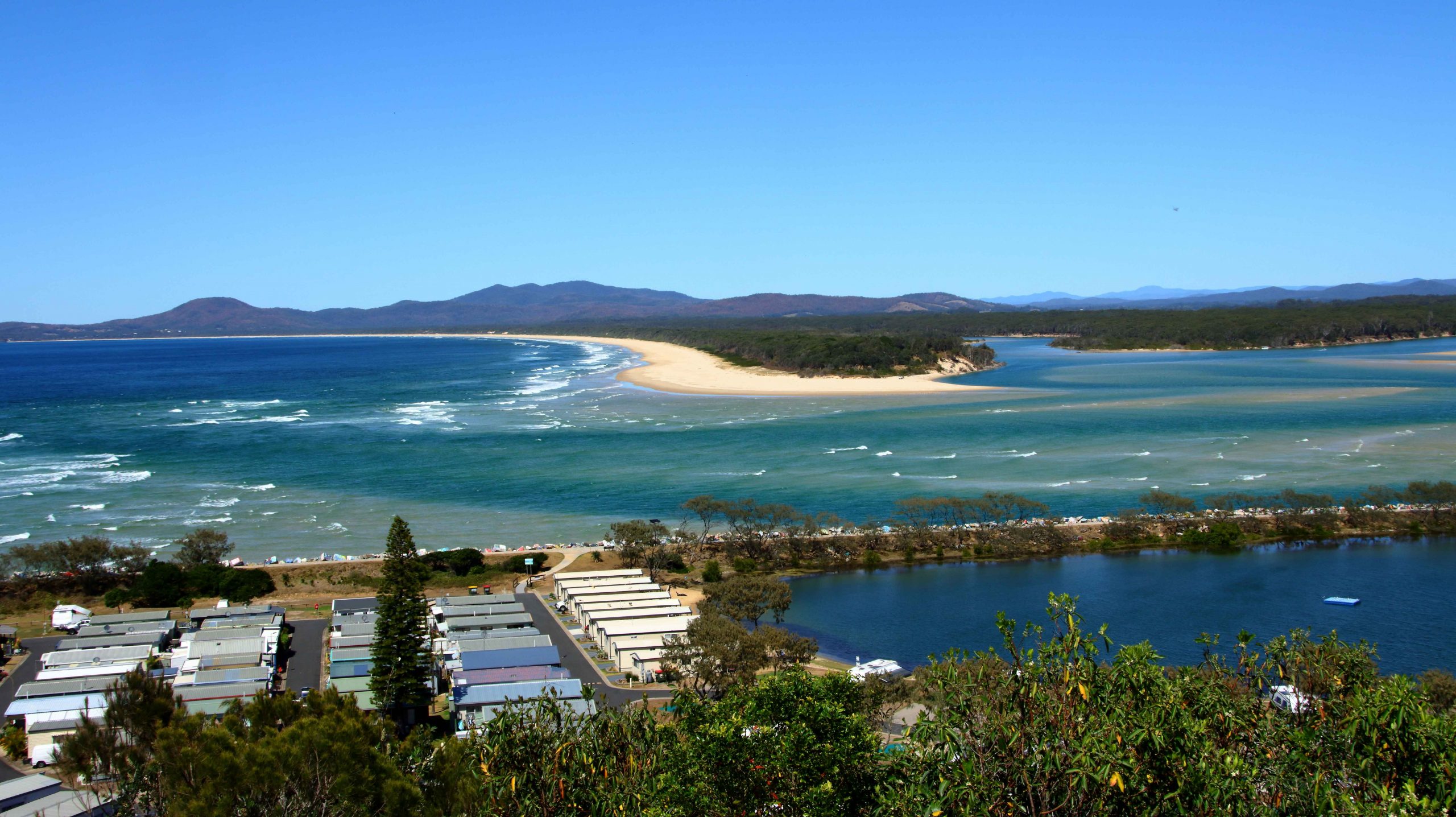
On our way from Forster to Taree we diverged so that we could look at Harrington across the river. The diversion lead us over some of the islands that make up the Manning River Estuary. Harrington is clearly visible from there. Manning Point has some tourist facilities but is much smaller than Harrington.

Jetty near the shopping centre at Forster, NSW.
The old Forster fishing cooperative now sells fishing supplies, has a cafe which of course sells coffee.
Pelicans roosting on the boat shed roof at Forster, NSW.
The shark proof swimming enclosure at Manning Point.
Harrington through the Pine trees at Manning Point.
The mouth of the Nambucca River at Nambucca Heads, NSW.

We spent our night in Taree, setting out next day, our last day but one, on the four hundred plus kilometres to Ballina. We made two diversions. The first into Nambucca Heads trying to find a coffee shop. We ended up at the service centre back on the highway. The town was parked out, but we did get to a couple of lookouts and one beach. Nambucca Heads is worth a longer visit.

Shelly Beach at Nambucca Heads, NSW.
The coast south of Nambucca to Scotts Head and Smokey Cape (South West Rocks) in the far distance.
The Anglican Cathedral at Grafton, NSW.

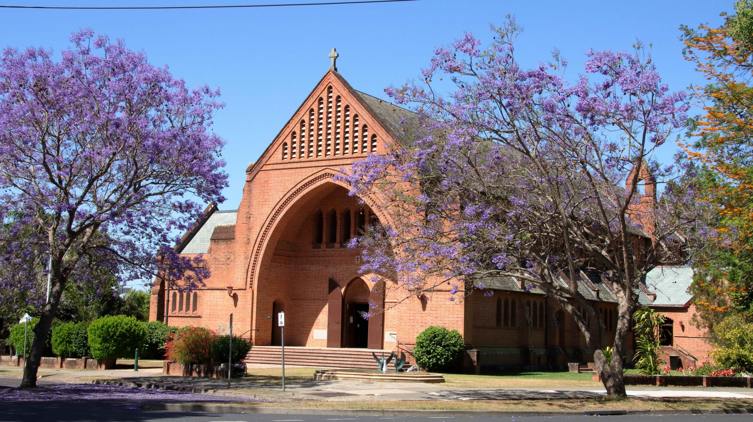
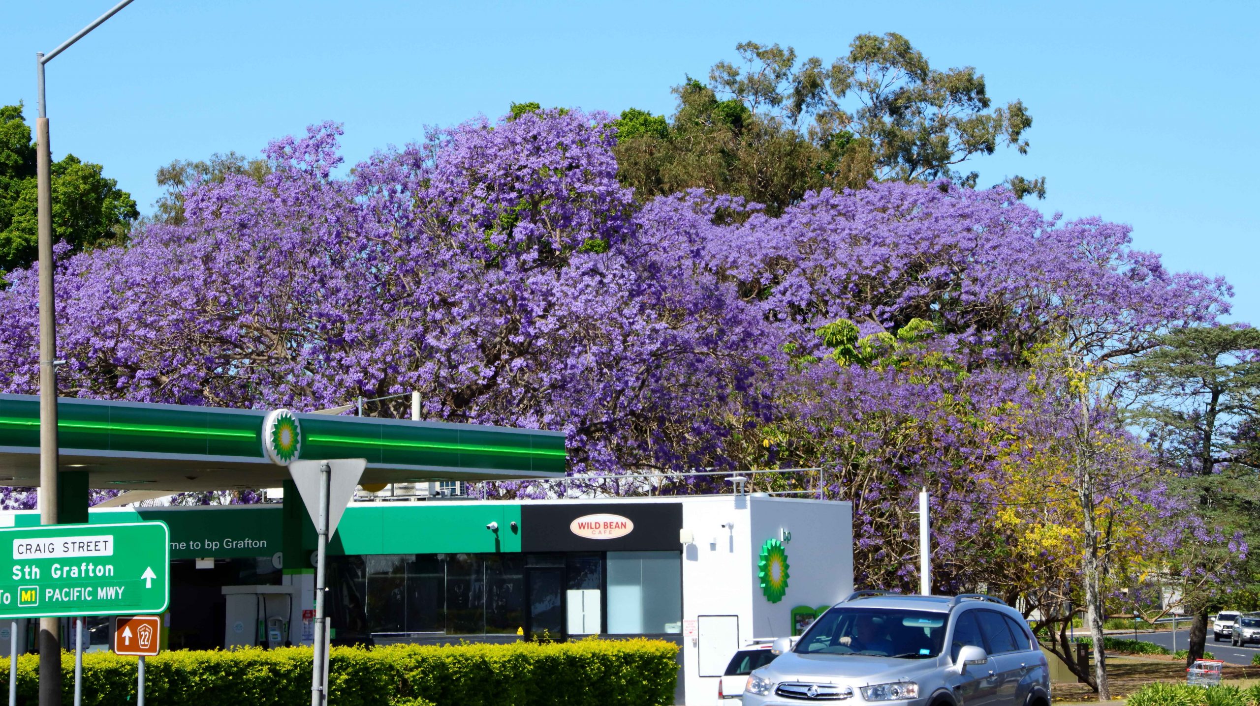
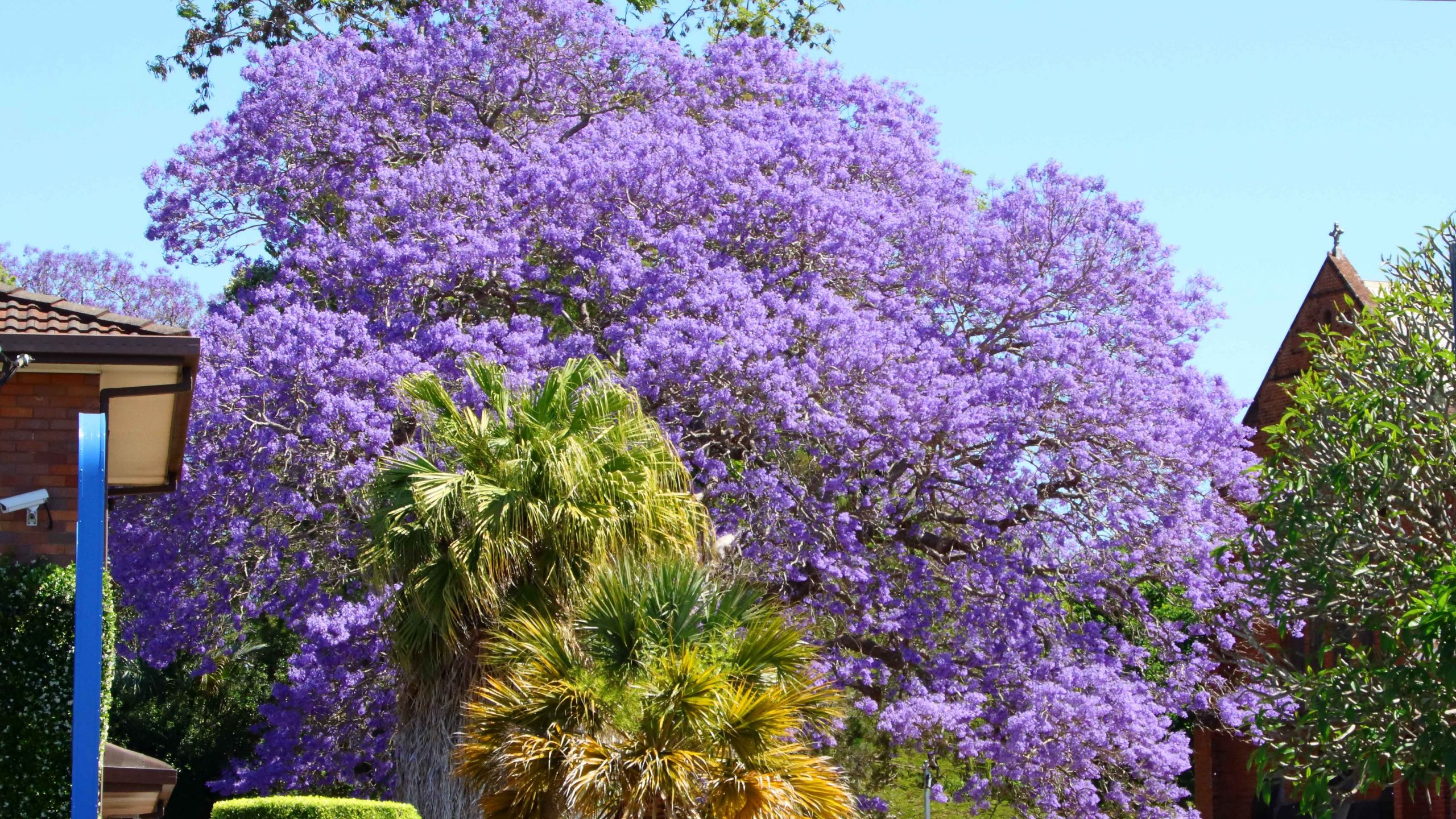
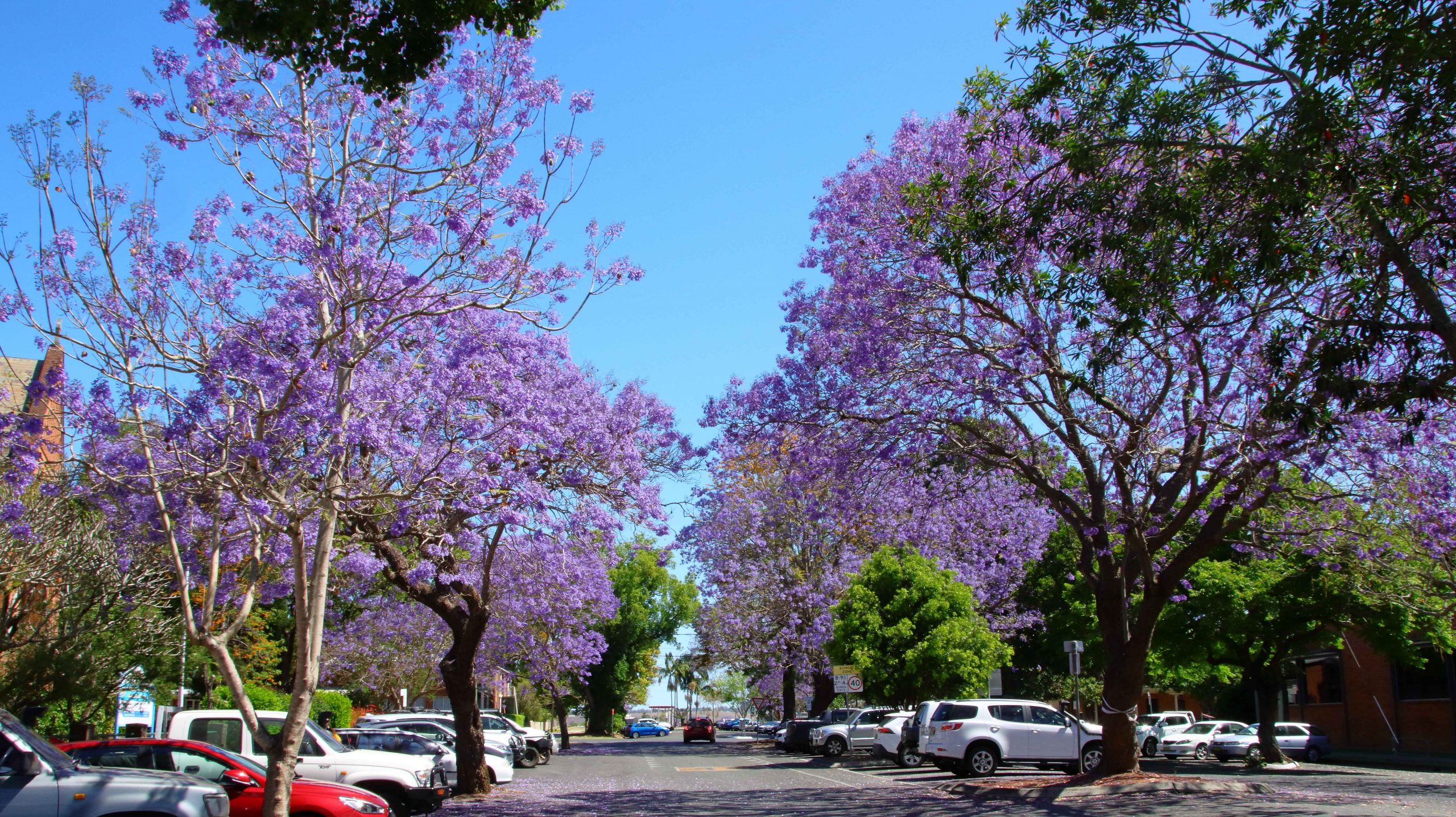
Finally, we drove through Grafton to find lunch and photograph Jacarandas. There seems to be less of the distinctive purple trees than I remember from previous visits. Lunch done, we departed the town over the new bridge over the Clarence River and re-joined the highway at Tyndale, to continue the drive to Ballina.

Jacaranda trees at Grafton NSW

After another brief and pleasant visit with Joe and Thelma we proceeded home, arriving mid afternoon. So ends another drive along that most familiar coast.

The Road Home – The Great Northern Road – October 2023

Before our 10.00 am checkout we took the elevator to the roof garden on 15th floor. That vantage point provides views of the area, including the Sir Kingsford-Smith Airport.

Sydney Airport from the roof garden of Meriton Suites Hotel in Mascot, Sydney.

Enjoying reduced traffic, we headed north through Sydney suburbia. As we approached the Hawkesbury River we were experiencing caffeine withdrawal so we turned into Brooklyn, to the Brooklyn Corner coffee shop, across the street from the Brooklyn Hotel.

A solitary coffee drinker at the next table struck up a conversation with us, probably after seeing our Queensland registration plate. He had just returned to his old hometown after forty years living in the Brisbane suburb of Windsor. He lives in Mooney Mooney, where we had lunch the previous day. Coffee cups empty, he headed home, and we returned to the car to resume our journey.

Historic culvert on Great Northern Road, Wollombi, NSW.
A plaque at the sight of an historic culvert on the Great Northern Road, Wollombi, NSW.

Our day end destination was Cessnock, but we turned from the highway at Calga and took the road through Central Mangrove to the historic town of Wollombi, a very pleasant drive of 78 kilometres, through mostly farmland and bush. Near the locality of Bucketty, the road that we were on intersects with the old Great Northern Road. The Great Northern Road was the first road ever built between Sydney and Newcastle. It was convict built so is over two hundred years old. That’s old for a structure in Australia. Some road works, particularly culverts, have been preserved and memorialised. Although they no longer carry the road they are intact and serviceable.

ST Johns Anglican Church, Wollombi, NSW.

The road from Calga to Bucketty is George Downes Drive. Together with the Northern end of the Great Northern Road it still provides a useful link into the Hunter Valley. The road appears to be popular with motor bike riders, as it is part of a circuit to and through the Hunter Valley wine region and back to Sydney via the M1 Motorway. Calga to Wollombi provides lots of those sweeping curves so beloved by motorcyclists.

Eating establishments in the main street of Wollombi NSW.

Tourist traffic has kept Wollombi a viable town. Two roads lead into the wine region from there, either via Broke or directly to Cessnock.

Wollombi has a number of eating establishments in its main street, plus a tavern at the southern entrance. There are two historic churches and an old wares shop with an aging but stately Bentley for sale at the entrance. The town also has one of the best constructed and maintained amenities blocks at its rest area, that we have seen in a long time.

St Michael the Archangel Roman Catholic Private Chapel and the old wares shop. complete with a dated Bentleigh car.

We left Woolombi along Wollombi Road that runs beside and crosses Wollombi Brook, a stream that ultimately makes its way to the Hunter River. Broke is a small town on the fringe of the wine area. We passed many vineyards and wineries with their supporting infrastructure. I love the disciplined order of vineyards, particularly when they are set out on undulating ground, the rows forming parallel threads of green. It is particularly so now, as the vines are set with juvenile bunches of fruit.

Wollombi Tavern – on the left as you enter the town from Sydney.
Tavern outdoor area. It was a light day for motor bikes.
Grape vines in the Hunter Valley near the mountains that form its southern boundary.

We reached our cabin in Cessnock via queues of traffic caused by road works on the only access street. We had replenished our supplies for a quiet night in after reaching town, so didn’t have to experience the delay a second time. The following morning, as we approached the exit road to execute a right hand turn, we were confronted by a line of banked traffic reaching out of sight to our left. But as the traffic control lights changed to green a kind lady at the head of the stream of traffic signalled to us to enter. We appreciated the kind gesture.

The NBN transmission tower on Mount Sugarloaf

The previous night we had decided to start our day with a visit to Mount Sugarloaf, the mountain behind Newcastle on which the television transmission masts are located. The shortest route from Cessnock took us over country roads. At one point we passed the large decorative gates of the homestead on a grazing property. We could see a waterway behind the house as we turned a bend in the road and drove up a hill. The increased elevation provided a view of a huge modern house built on the edge of a very large dam. Not far from the main house, also on the water’s edge, was the remains of an old brick building, possibly the original homestead. It was such a tranquil scene that we continued to look at it for several minutes. The featured photo at the head of this post is our view after driving past the property.

It is many years since we had last visited Mount Sugarloaf. We found it is virtually unchanged. Despite the views over the Greater Newcastle area, including the Port on a clear day that it provides, no work has been done to turn it into the tourist attraction that it could undoubtedly be. I passed on the walk to the summit. It was a bit steep for my old legs.

To cap things off, visibility was not good due to a heavy haze, as the photo below demonstrates.

The view over the Newcastle area from Sugarloaf. The city is out there in the line between land and ocean.

There is more to come from the activities on this day. That will be part of the next blog post.

South to Sydney – October 2023

Our daughter Kara works and lives in India. As she is an Australian citizen, she must return to Australia at least every five years to renew her visa. Kara is involved in that process right now.

Visiting Relatives and friends fills a great proportion of her time. We chose her necessary journey to Sydney to offer transport and combined with a visit to relatives and friends, thus killing to birds with the same stone, as the saying goes.

Pleasure boats anchored at Warners Bay, near to our Newcastle motel.

We departed Redcliffe on Wednesday 4th October but only travelled to Ballina, where we spent the night with friends Thelma and Joe, who have been mentioned in these pages previously. They are among our oldest friends and have known Kara all of her life. As usual they provided a pleasant overnight stay.

On Friday we covered the six hundred plus kilometres to Newcastle with the next day spent calling on two of Kara’s aunts and an uncle. There our paths diverged. Kara caught a train back to Port Macquarie to spend time with friends there while Ruth and I continued on to visit daughter Briony in Sydney, after spending Friday night in Newcastle.

We first called on Briony at her Erskineville unit where we were unable to stay as she currently has a visiting English flat mate. We had booked at the Mascot Merriton Suits, so with Briony in tow we went to book in. Formalities complete we walked around the corner for lunch.

Frenchman’s Bay, La Perouse with jetty construction on the left.
The Macquarie Watch Tower was built by Governor Macquarie in 1821-22 to house troops keeping watch for smugglers at La Perouse on Botany Bay. It is among the oldest Colonial structures remaining in Australia.

Rather than just sit around and talk we took a drive to La Peruse for some great views of Botany Bay on an almost cloudless day. We found a parking space after a search so that we could enjoy the views and absorb the history of the place. A new ferry terminal is under construction. It will become the northern end of a ferry service from a matching new terminal at Kurnell.

On our way to dinner at one of the outside restaurants at the new Marrickville shopping centre, we drove through that east coast residential area that parallels the coast from Cape Banks to Bronte. Every available square centimeter has been built on already, but they still find space for more. Literally thousands of million dollar plus houses. Who could ever assess their value?

Sashimi entre at the Japanese restaurant at Marrickville.

Eating with Briony is always an adventure. This Saturday evening was no exception. A Japanese restaurant provided the location for our culinary adventures. I had not dined on Ramen cuisine previously and I am afraid that I can’t remember the names of dishes, but it was very tasty and satisfying. The food met the requirement to be easy to chew, a present necessity as Ruth breaks in a new upper denture.

Pleasure boats in the Empire Marina at Bobbin Head.
Waterside Bistro at Bobbin Head.
Part of the picnic area at Bobbin Head in the Kar-ang-gui Chase National Park

Briony didn’t have any place that she wanted to visit on Sunday. She said that we were the visitors and should go where we wanted. But when I said that we would head for the water ways of the Ku-ring-gai Chase National Park she miraculously discovered the Hawkesbury River Oyster Farm at Mooney Mooney. It is not a coincidence that she loves oysters.

A Pelican at Brooklyn with its head pulled in.

We coffee’d up from the takeaway at Briony’s units and headed north over the Harbour Bridge and along the highway to the most northern turn to Bobbin Head. All was relatively quiet on a Sunday morning, but the cafe at the Empire Marina had a reasonable breakfast morning and their lunch trade was making its way through the gate in reasonable numbers.

Our lunch booking was for 1.30 pm, so we had some time to spare. We called in at Brooklyn where we were entertained by Pelicans looking for food. The solitary fisherman retrieving his boat had let them down, it seems. With time to spare we returned to the rest area by the Hawkesbury River.

The Hawkesbury River road bridges. both new and old.

The restaurant is at the bottom of a step pinch on the riverbank which would have been a scramble for Ruth and her walker but a departing customer provided a vacant parking space right at the front door. Sometimes you get a win.

Oysters Mornay at Hawksbury River Oyster Farm. My favourite way to eat oysters.
Entre of Scallops Mornay at the oyster farm restaurant.

The restaurant takes bookings, but there is no table service other than for delivering hot food. Orders are placed at the counter. You carry cold dishes to the table yourself. We had a combination. Fresh King Prawns, Oysters mornay and mint flavoured and battered fish with salad. In Brooklyn Briony had acquired three small bottles of Champagne. The tables are right beside the river. The queue waiting to place orders didn’t seem to get any shorter even though the service was quick. Very pleasant!

Diners waiting to place orders at Hawkesbury River Oyster Farm.

We drove back towards Sydney, cutting across suburbia to Terry Hills where we took the turn to West Head and Church Point. A sign warned that the West Head Lookout was closed for renovation, but we drove out there anyway. Briony had not been there before, although she was with on many of our river excursions when resident in Castle Hill. The road temporarily terminates before the view is in sight. We retraced our steps and turned for Church Point.

Dining by the Hawkesbury River. Photo just after we had vacated our table.

Church Point was an important place in our lives during one of my business transfers to Sydney. Our small yacht was moored there, so it was the starting point for many of our aquatic adventures.

We returned to the south side via Mona Vale Road and Ryde Road and the Pyrmont Bridge. It was back to work for Briony next day, so we dropped her off for a quiet night and returned to Mascot for a quiet night of our own.

We make our way home in the next blog.

Visiting Relatives and Alpine New South Wales

Those of you who have followed our travels will be aware that we give a high priority to keeping in touch with family and have done so more frequently as we have all aged. We have seen this as a responsibility partly, at least, brought about by our frequent moves, particularly the move to Brisbane about forty years ago.

Increasing age does not make travelling any easier. We had suggested to my two remaining siblings that Victoria was a long way from Brisbane and that they might make the task easier for us by meeting us half way, or at least some of the way. Earlier this year they called us on the offer. I am always on for a trip to the alpine regions outside of the snow season so we agreed that meeting at Jindabyne in the Snowy Mountains was a suitable compromise. The southern most relatives to visit on this trip live at Bowral in the Southern Highlands of New South Wales. Not that much further to Jindabyne.

But it was a close-run thing with the snow season. A week after we visited, areas around Thredbo, not far from Jindabyne, had snow.

Poplars by the highway south of Glen Innes

We chose the New England Highway as our route to Newcastle where our first call was to be made. A drive through the Granite Belt and New England areas is not to be missed in Autumn. The colours did not disappoint but our opportunities to see them did. We were delayed for an hour just south of Wallangarra by a two-vehicle collision that blocked the highway for over an hour. Darkness accompanied our arrival at Armidale for the night and low cloud and drizzle greeted us next morning for our drive to Newcastle.

Autumn colour opposite our motel in Armidale.

The next morning, Friday, we first called on sister-in-law Marjorie in her retirement home that overlooks Lake Macquarie. We then moved on to call on Ruth’s sister Judy and Alan her husband at West Wallsend. Finally, after a call to brother Ivan’s newly completed grave at Ryhope cemetery, we completed our journey to our daughter’s unit in Erskineville, through Sydney Friday afternoon peak hour traffic.

Visiting Rainbow Lorikeet on Briony’s sixth floor balcony rail.
Newtown street scene. I don’t know why the young lady was sitting there.
Lots of quality graffiti artwork. It adds to the ambiance.

We spent a quiet morning on Saturday. In the afternoon I walked to near-by Newtown to do some street photography. On Sunday morning Briony accompanied us to brunch at Mount Annan Botanic Gardens Café where we met Ruth’s sister Dorothy and her family. We returned via Costco at Casula for some bulk shopping. Later in the afternoon I spent a couple of hours photographing birds and humans at Sydney Park which offers wetlands and an elevated viewing position overlooking that part of Sydney. The park is right across the street from Briony’s unit.

View from the top of the hill in Sydney Park. Looking towards Redfern.
An Australian Darter at the Sydney Park wetlands.
Family group at brunch at Mount Annan.

An 8.00 AM departure saw us at Ruth’s younger brother’s home at Bowral for a coffee stop. Wallace is in advanced stages of a wasting disease that has robbed him of movement and speech but not mental capacity. But he never complains and communicates to the best of his ability. Ruth is particularly close to his wife and her sister-in-law Ginny. The visit was both a sad and happy time.

Bernard and Aileen had arrived at the caravan park at Jindabyne where our cabins were located when we checked in. So we had a bit of a chat over a cup of tea and went out to dinner. We were at Jindabyne for three nights. We dined at three different eating establishments on the three nights and spent the days seeing the sites.

The Snowy River near to its source.

On Tuesday we drove to Charlotte Pass, diverting to visit the Guthega power station and follow the Snowy River until we turned into a gravel road that took us back to Kosciuszko Road at Smiggin Holes.

Charlotte Pass viewed from the lookout above the resort.

The car park at the lookout above Charlotte Pass village was busy but we grabbed a parking spot for long enough to walk the board walk to the lookout that gives such a great view of the Kosciuszko range, including Kosciuszko’s peak and the Snowy River making its way through the valley at is feet, to the dams that interrupt is path to the ocean at Marlo in Victoria. This view always makes me want to don my hiking shoes and take off into the mountains. Instead, we drove to the village for a late morning coffee, or in Bernard’s case, a cup of tea.

The pipeline leading to Guthega power station.
Jindabyne from the Mount Kosciuszko Road.
Jindabyne Dam that holds back the waters of Lake Jindabyne on the Snowy River.

After a stop for photographs of Lake Jindabyne and the town we visited the dam that holds back the waters of the lake. Water levels are quite high as we could see as we drove over the road the previous day. The dam serves as a platform for the main road into Jindabyne and the Snowy Mountains.

On Wednesday we drove towards Thredbo on the Alpine Way, first stopping for a look at Crackenback Resort. What a beautiful place, with attractive accommodation huddled around the lake. A Eurasian Coot completed the picture as it coasted across the calm waters, creating its own ripples.

Reflections of Crackenback Resort on Lake Crackenback.

Before calling at Thredbo, we drove on to The Pilot Lookout, Dead Horse Gap and the Cascades on Dead Horse Creek. Reports have it that wild brumbies can be seen at Dead Horse Gap, although a place so named seems an unlikely place for brumbies to gather. The only thing of note was a sign advising that a section of the park was closed for vermin eradication. Perhaps the brumbies had been warned, although the sign did say that they were excluded from the cull.

The Cascades on the Dead Horse Gap Creek near the junction with Thredbo River.
The Thredbo River near the alpine resort town of Thredbo.

We drove into Thredbo but found it to be largely inaccessible due to tourists and tradesman who had got there before we did and areas barricaded off by witches’ hats by the workers. We had intended to ride the tourist chair lift that takes visitors to the main skiing area and the track to Kosciusko but we could not park close enough to the lifts to make that an achievable objective.

We hadn’t even managed to get ourselves a cup of coffee, so we returned to our units for a soup and toast lunch and a cup of coffee. It was good soup weather, although better than we expected. Both touring days provided brilliant blue skies and temperatures in the low twenties. Nights were cold, well below 10C.

The view towards Thredbo from Dead Horse Gap on the Alpine Way.

On Thursday 27th April we departed Jindabyne, Aileen and Bernard for a few days at Merimbula and we to return home but by an indirect route. We had enjoyed our few days together and departed resolved to repeat the exercise before too long.

The western end of Lake Eucumbene at Providence Portal.

Ruth and I drove back to the road to the Snowy Mountains Highway and Tumut. We drove through relocated Adaminaby and stopped in at Providence Portal where water from elsewhere in the mountains runs into the western extremity of Lake Eucumbene. From there we paused for a comfort stop at deserted Kiandra, then proceeding through Tumut to Gundagai, where we stopped for lunch.

Tumut is the location of much of the work on Snowy Hydro II but we saw little activity, most of which was off the beaten track or underground.

Cowra sunset.

We spent Thursday night at Cowra, proceeding through Blayney, Bathurst and Lithgow and along the Bells Line of Road to Mount Tomah to visit the Blue Mountains Botanic Gardens. Two previous attempts to visit had been frustrated by fog and rain. The wait was worth while. The garden is actually a series of small gardens comprised of mostly trees and shrubs with fountains and rockeries with waterfalls and pools. There is an excellent visitor centre with a very handy café.

Autumn in Mount Tomah gardens.
Fountain Terrace, viewed through the archway at Mount Tomah.

We journeyed on through Kurrajong, Richmond and Windsor to Vineyard where we spent the night at a large hotel with an attendant motel. A very nice seafood dinner ensued.

A damp morning followed for our drive along the Putty Road to Singleton. The Grey Gum Café at Putty normally teams with motor bikes on weekends but motor bike riders had been discouraged or delayed by the wet. We shared the establishment for coffee with a couple of motorists and a solitary motor bike rider.

Our overnight objective was Tamworth with a side trip to Nundle. Nundle is one of those towns to which signposts point as you drive by down the main road. We knew of it from our regular use of the New England Highway and my transport days involvement in the New England area. More recently, for some unknown reason it had started popping up on my Facebook news feed.

Nundle is a small and attractive farming community with the addition of a historic woollen mill, one of the last operating in Australia. The mill is still owned and operated by its original founding family who started it over a century ago. The brilliant Autumn foliage really lifted the town on what was by then a very dull afternoon.

With the day drawing in we drove up to Hanging Rock Lookout with rain threatening to return. To be able to see the hanging aspects of the rock clearly required a different vantage point but the lookout did provide great views of the surrounding mountains.

Entrance to the Nundle Woollen Mill.
Part of the manufacturing equipment at Nundle Woollen Mill.
Autumn colour in the park at Nundle.

On our drive to Tamworth, we passed Chaffey Dam on the Peel River, of interest to me because of my involvement in the transport of materials to the sight during its construction.

Rain had returned by the time we reached our Tamworth motel and the forecasts made it clear that the precipitation would continue next day. We had planned to visit a couple of other places connected with my earlier association with the area but when we realised that we could still cancel our Inverell motel we decided to do so and head home a day earlier.

More New England colour near Glen Innes NSW.

We departed Tamworth with the clouds well below the surrounding mountains. Rain and drizzle continued but by the time that we stopped at Glen Innis for coffee the temperature was up to 10C. By lunch time at Warwick it had reached 15C. Once we had crossed the Great Dividing Range it increased further. We arrived home on rather a balmy evening, reminding us of one of the reasons that we live here.

So, another successful trip of around 3,500 kilometres completed with most objectives achieved. We don’t have any other travel plans currently although we will probably do something else in the near future. What ever it is we will keep you informed.

Interrupted Journey – North Queensland 2022 – Part 7

Travelling Home

A video link appears at the bottom of this blog post.

On Board the Magnetic Island Ferry

On disembarking from the Magnetic Island ferry, we headed directly to Bowen, pausing only for necessities and roadwork. We stayed at the Bowen Arrow Motel. Now, who could resist it with a name like that?

More roadworks south of Bowen. One 20 km strip with 15 km at 60 kph and the other 5 at 80 kph. Traffic was not heavy, so the drive was pleasant. The skies were partly cloudy with enough sprinkles at Proserpine to kick the automatic wipers into action for a swish or two.

We used the Mackay Ring Road for the first time. It completely misses the city, leaving the Bruce (north bound) at the BP truck stop south of town, runs west for about 3 km and then turns north to re-join the Bruce near Farleigh sugar mill. Three km at 80 kph and 8 at 100 kph. Saves a bit of time and city traffic.

Ferry Arriving at Nelly Bay.
Nelly Bay Harbour Entrance from Inside.

If you break a Bowen to Brisbane trip into three days travel, then Marlborough is where you end up on the first night. We have stayed there in the caravan, but never used the motel. It is dated, perhaps bit tired, but so are we. But we had a comfortable night and a good meal in the restaurant. There are also workers camps on site, so they get good patronage from camp occupants.

Our Lunchtime View at Clairview.
BarraCrab Caravan Park at Clairview.
Caravans at Marlborough Motel & Caravan Park.

We stopped for lunch at Clairview. The caravan park has grown and is now called the BarraCrab Caravan Park and boasts a bistro and bar. But we ate our sandwiches seated in a picnic shelter overlooking the Coral Sea….with the tide out.

The final two days of our trip were just more driving but keeping daily distance to about 400 km. We did morning coffee at a pie cart at the south of Rockhampton.

We turned off at Fred Haig Dam, just north of Gin Gin. This dam holds back the waters of Lake Monduran. It supplies irrigation water to Bundaberg primary producers. We had spent a night there about 12 years ago. It has a good caravan park, built below the retaining wall and patronised by Barramundi fishermen.

We spent Saturday night at Childers in a pleasant motel on the southern end of town. Childers proved to be the start of cool wet weather. We had intermittent rain all the way home.

A View From the Top Deck of the Ferry.

South of Maryborough, in fact south of Tiaro, a sign by the highway advises of a tourist drive through Bauple. We have both seen and ignored it many times. But this was the day that we finally succumbed to curiosity and took the drive.

The Retaining Wall at Fred Haig Dam.

Bauple is a small, old town but that is about all. Not much there but we did see a sign advising of a “bypass meeting” which suggests that the highway diversion around Gympie might just be diverting through Bauple. We didn’t stop for photos

It was too wet for a picnic morning coffee so we called at The Coffee Club at Gympie. This store of TCC has about the best range of cakes of any and seems to be a popular meeting place for Gympieites. It is always busy.

We arrived home at about 12.30 pm and got on with unpacking. Another successful trip under our belt, despite being interrupted.

Guest Cabins Overlook Lake Monduran.

Thanks, Ruth, for agreeing to being dragged around the bush again. I am never so happy as when I am driving down another remote country road, in pursuit of another bit of Australiana. Ruth knows that you can’t take the bush out of the boy. Even when he has become an old boy.