It is some time since I last posted to my blog. Age and some illness has slowed us down and the Summer just passed did not provide much in the way of good days to go for a drive. But Labor Day in Queensland provided such a fine opportunity that we took to the road with a destination in mind.
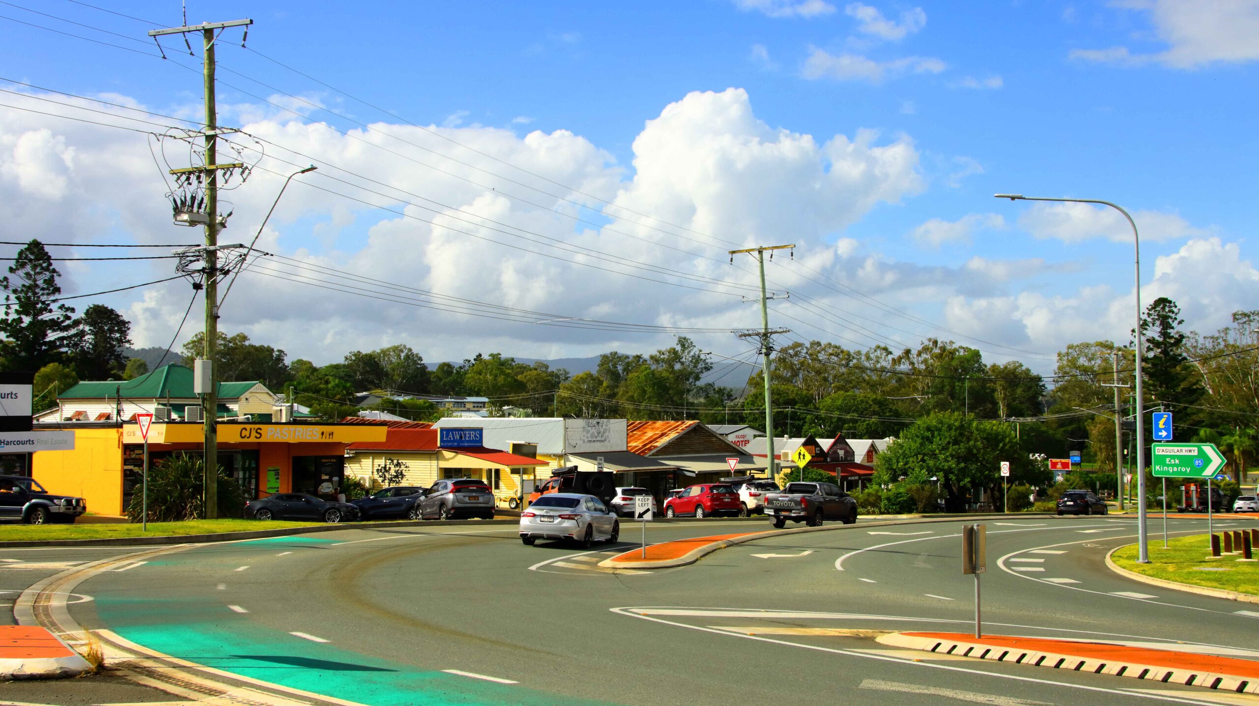
Part of the main street of Kilcoy
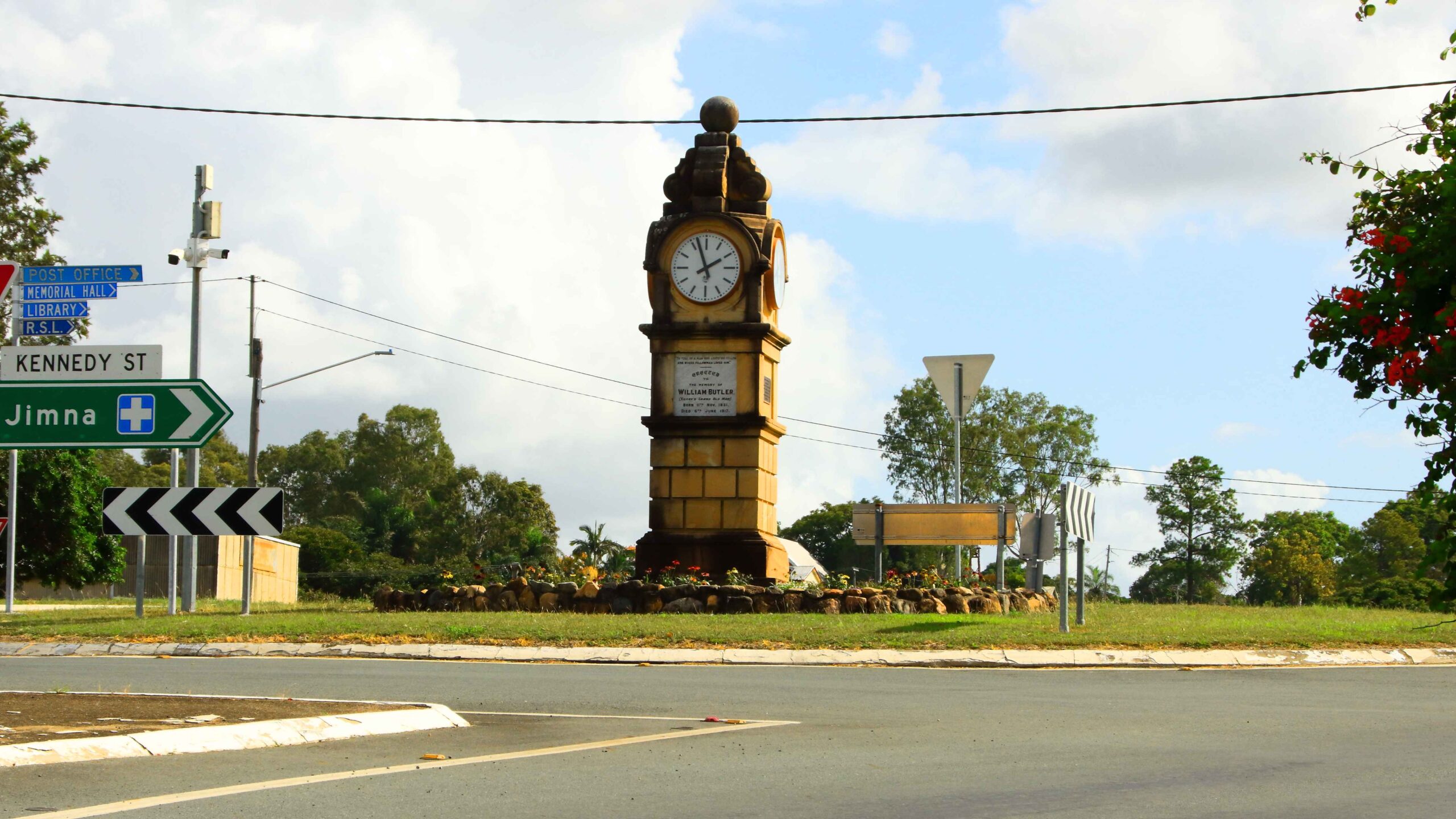
Kilcoy has a clock tower that stands just off the highway, on top of the hill
So, equipped with camera, we headed out. On reaching the Bruce Highway we turned North until Caboolture where we turned into the D`Agula Highway and proceeded through to Woodford. Traffic was relatively light on the Bruce Highway for Northbound travellers but quite heavy moving South.
After turning into Neurum Road we noticed a substantial amount of building at the Woodford Correctional Centre. The nature of the buildings suggested increases to low security prisoners, as the new building is outside the main prison walls. I guess it is to provide additional accommodation for those caught out by Queensland’s tough on crime policies.
A new bridge under construction over the Stanley River
River immediately down stream of the crossing
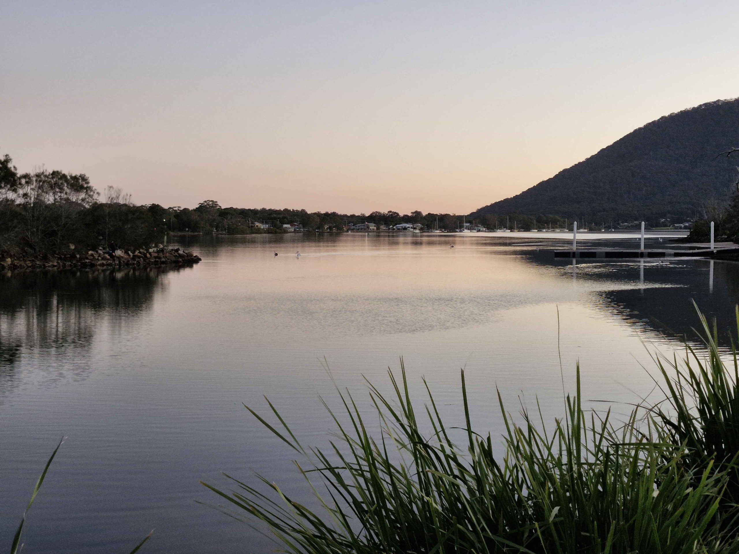
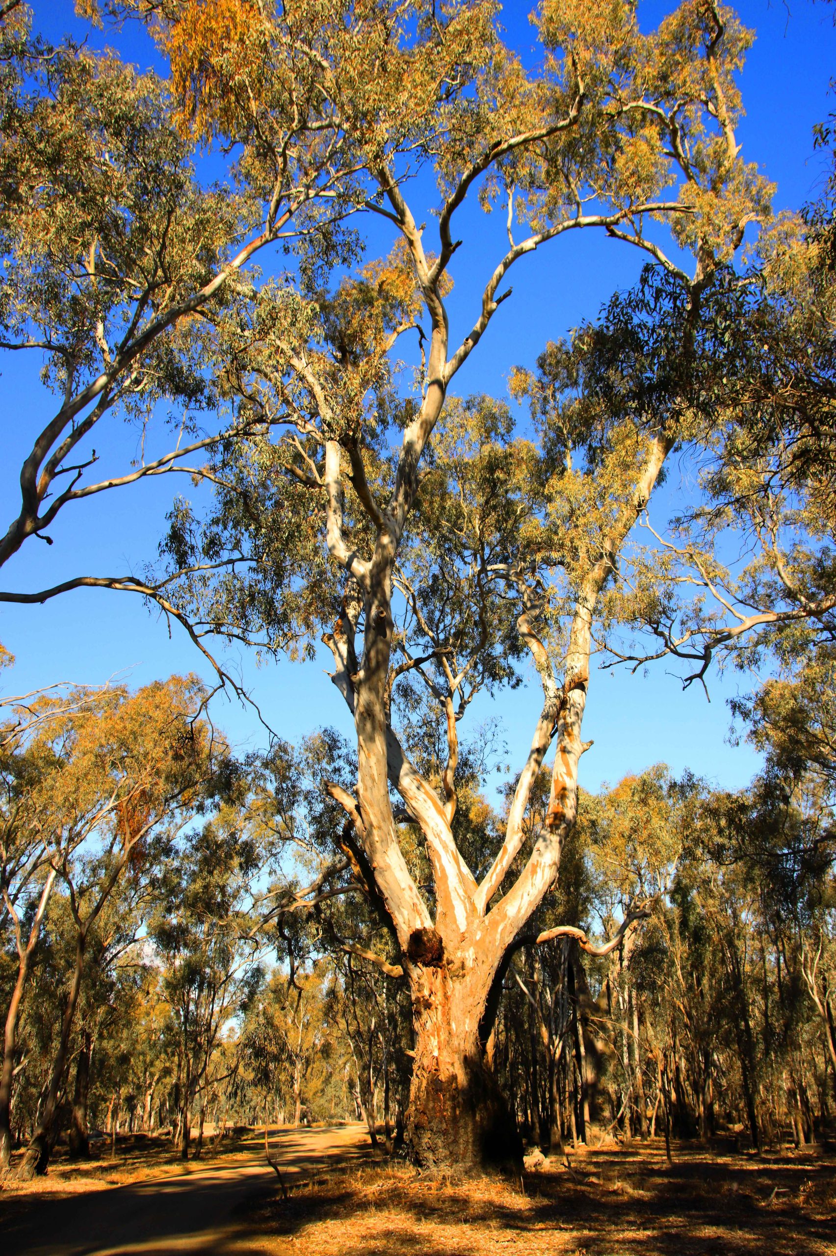
The road passes through rolling farmland covering the broad Stanley River Valley and the side valleys that feed into the main stream. The Stanley River is the main river feeding into the Somerset Dam. The Kilcoy Creek flows through the town of Kilcoy and along an adjacent valley to the west. Together they provide a substantial proportion of the water flowing into Somerset.
Down stream of the bridge over the river, the stream broadens and retains the added width until it reaches the head waters of Somerset Dam.
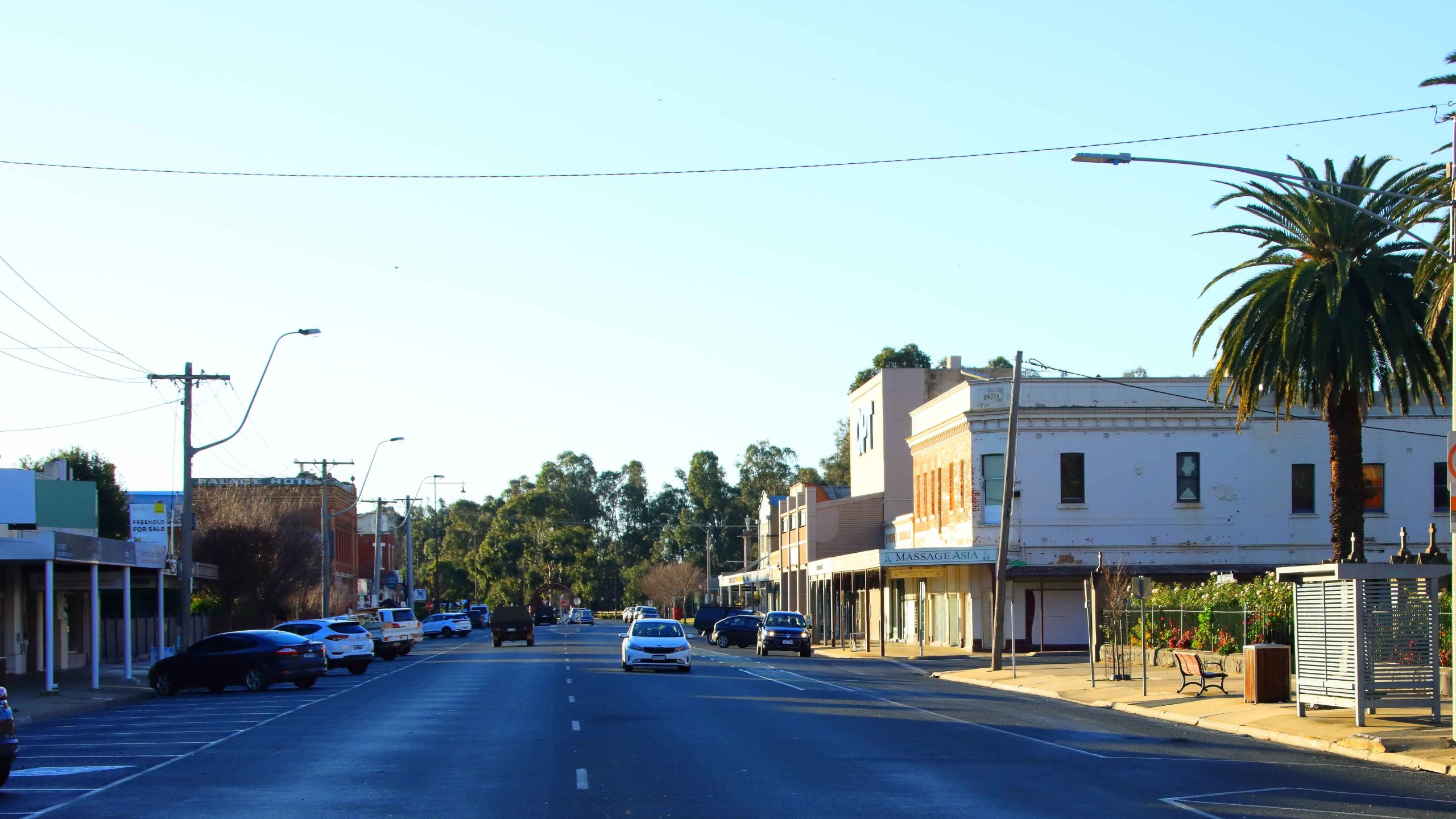
The Exchange Hotel is located on the eastern side of the town.
We continued our drive into Kilcoy, making a comfort stop at the newish facilities beside Kilcoy Creek and then drove the short distance to the eastern side of the town. We have eaten at the Kilcoy branch of CJ’s Pastries before, so went directly there for a quick lunch. We obviously made the same decision as many others, as the queue to place an order almost reached the back door.
One of several bridges over Sandy Creek
The gently runnung waters of Sandy Creek
We left town via the D’Aguilar Highway, but turned left into Sandy Creek Road, which we followed until its intersection with Mary Smokes Creek Road. We then followed Mary Smokes Creek Road, following it back to the highway, stopping to take some photos at one of the road crossings of Sandy Creek.
Our drive home was among moderate traffic. But we did take the precaution of returning home via Caboolture, rather than chancing heavy traffic by returning to the Bruce Highway at Caboolture East.
The touring segment of this trip ended at Echuca. From then to the end we were visiting relatives. Plus, the weather turned foul, causing us to choose as much indoor activity at possible. From Echuca we travelled to Warragul in West Gippsland. Then we made our way back to Brisbane via Princes and Pacific Highways. So the rate of photography slowed.
Around Warragul
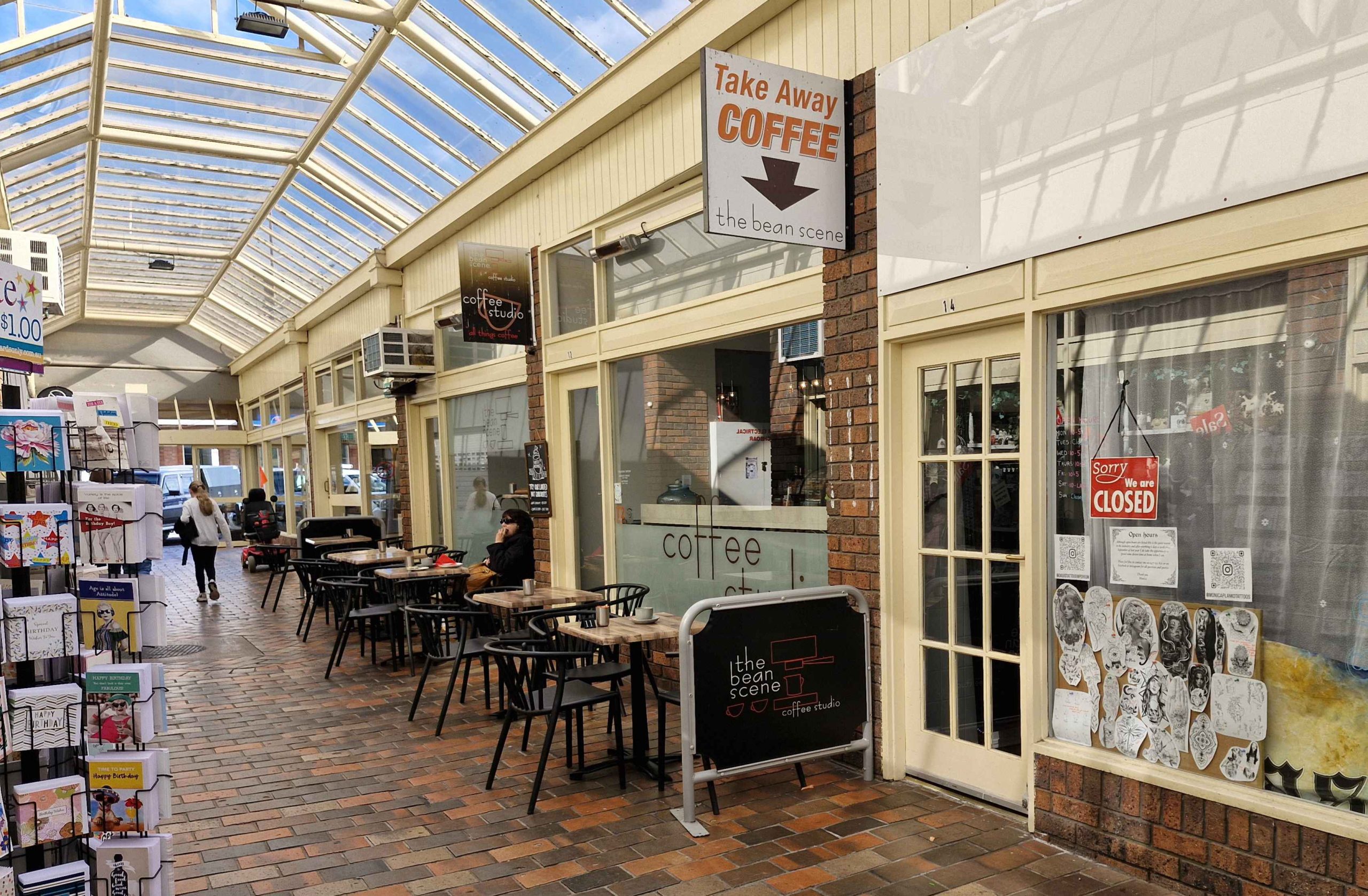
A Shopping Arcade in Warragul.
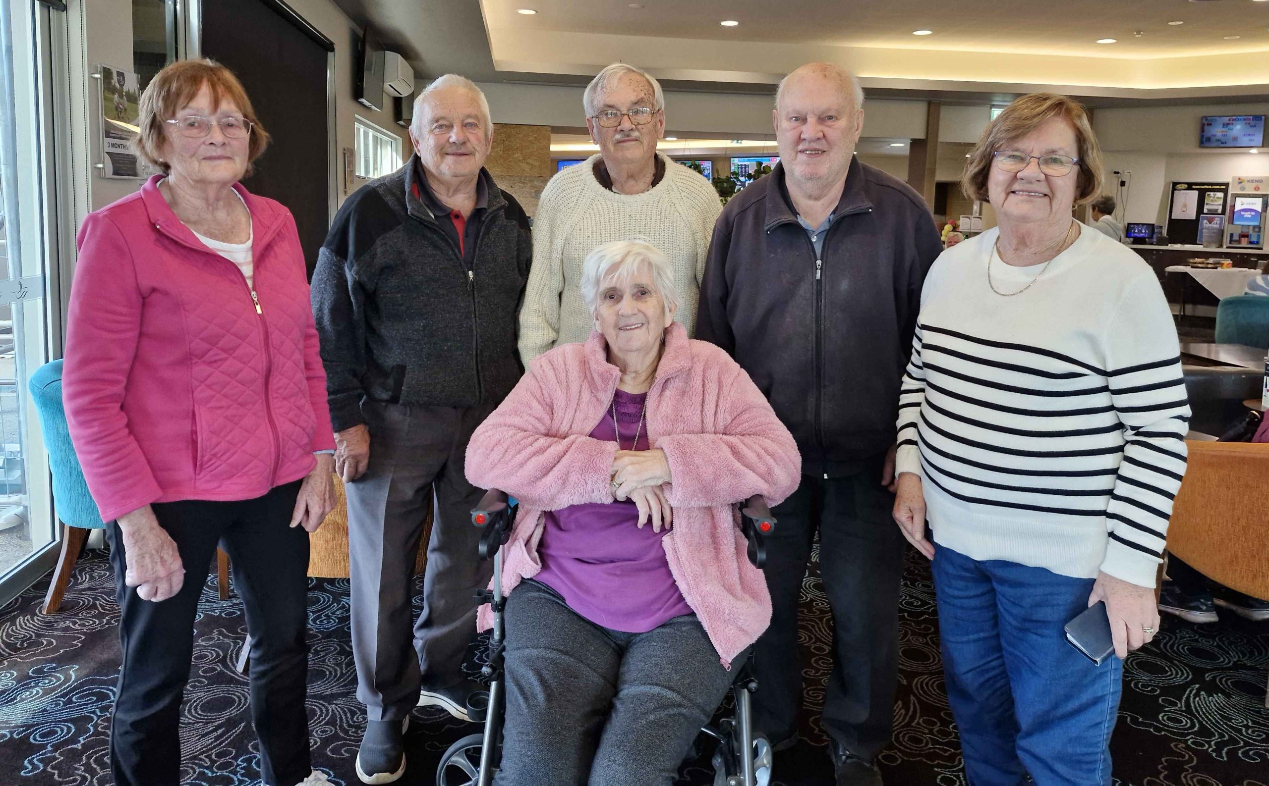
A Family Gallery. Front: Ruth. Rear: Helen Sheather (Sister-in-Law), Bernard Sheather (Brother), Me, Kelvin Sheather (Cousin) Aileen Gardner (My Only Sister).
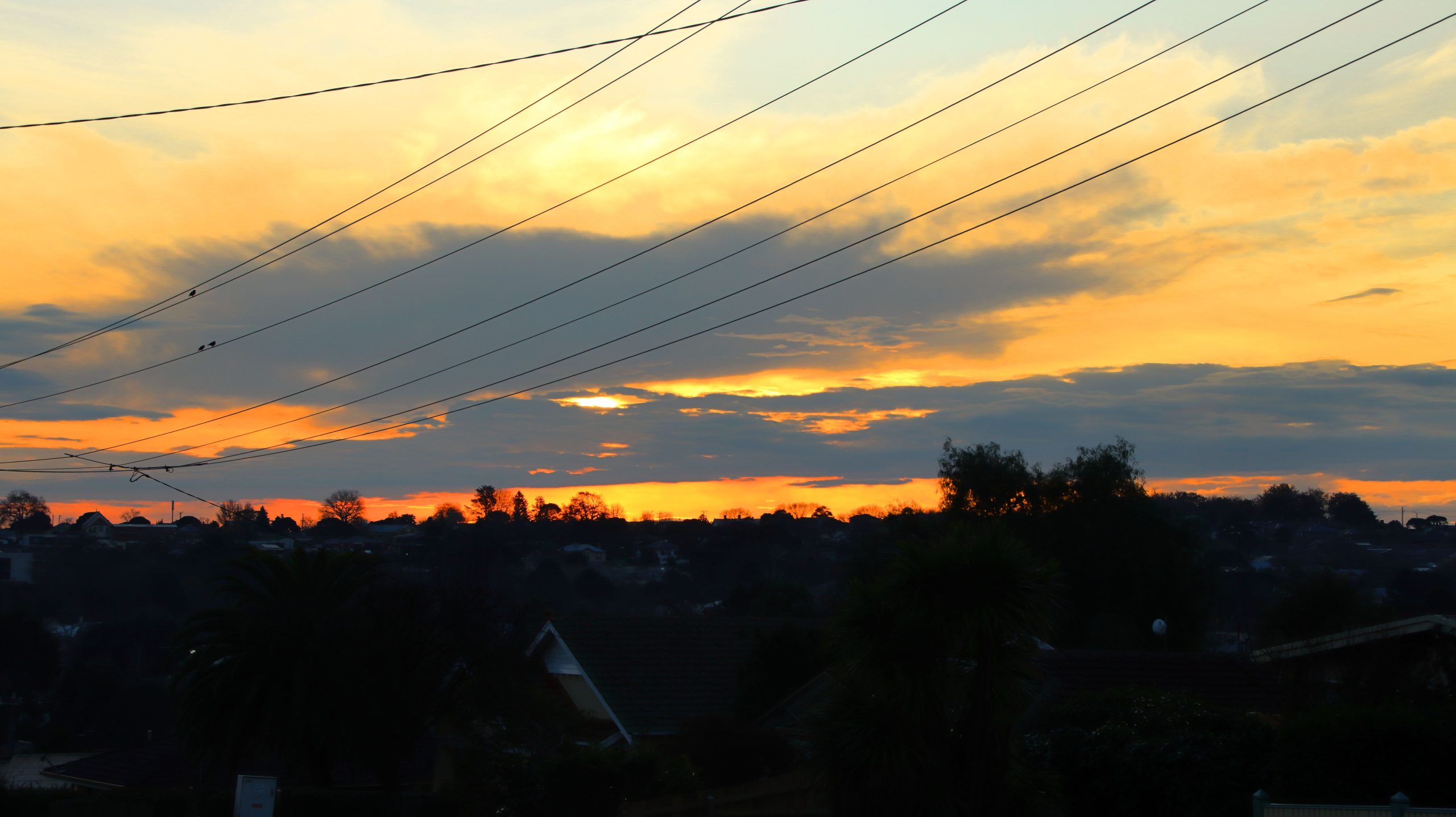
Sunset, Warragul VIC.
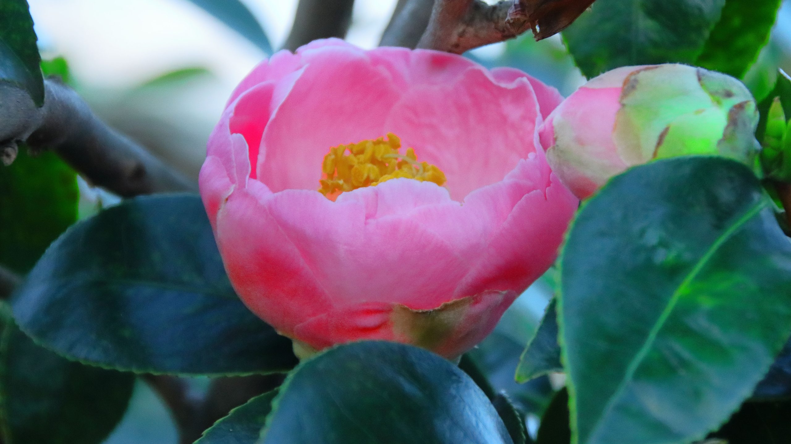
Camelia, Warragul VIC.
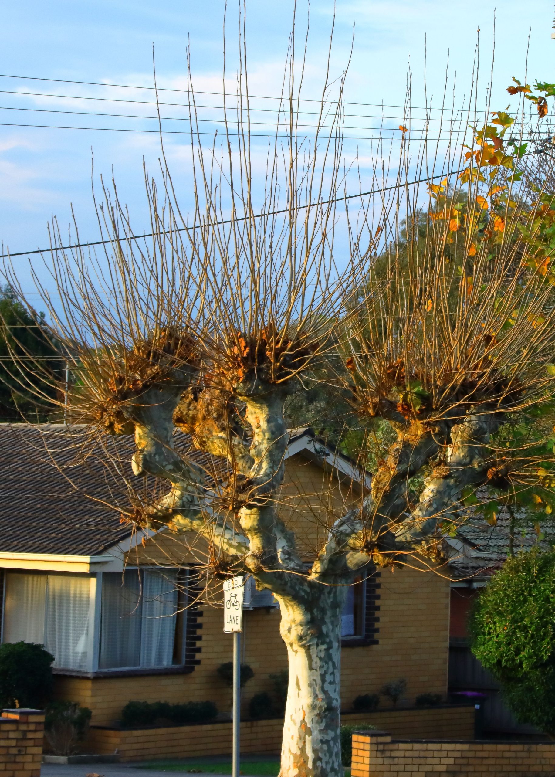
Pollarded London Plane Tree, Warragul VIC.
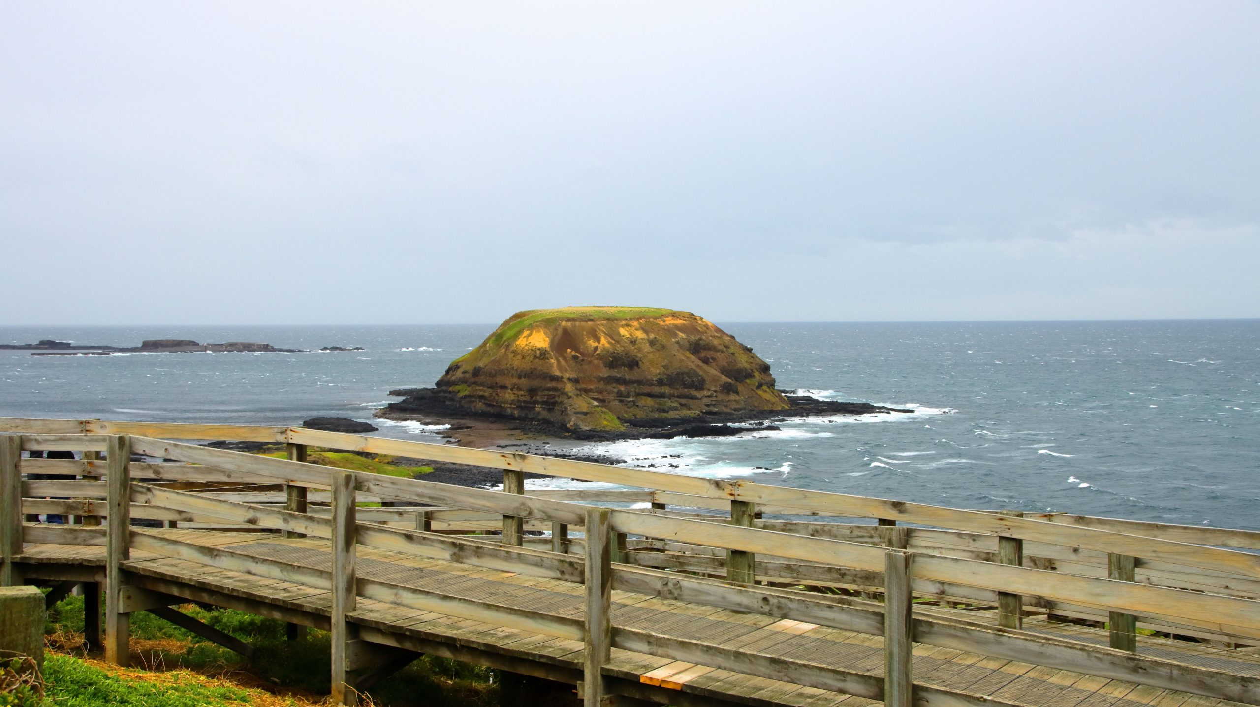
Phillip Island, Victoria
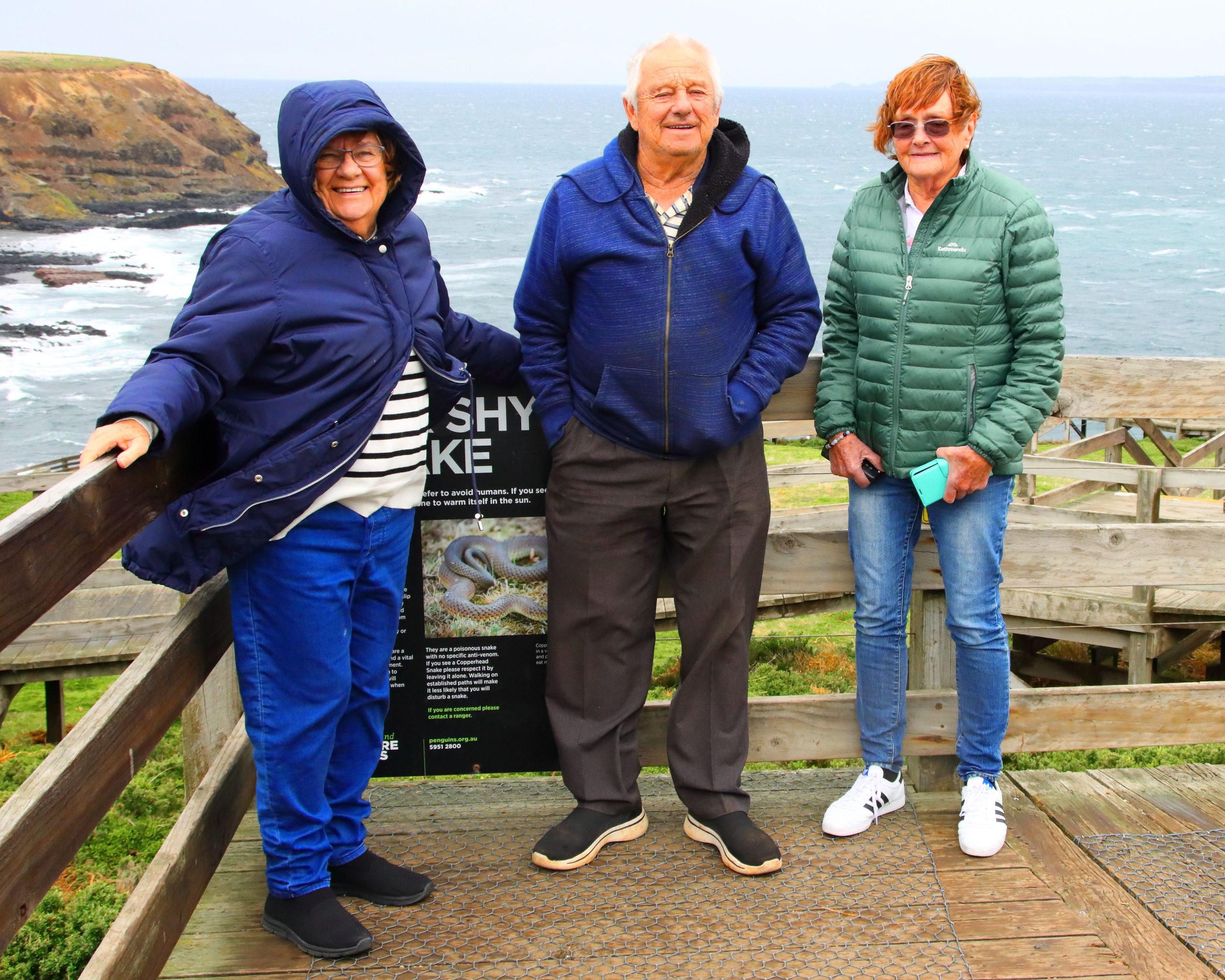
At the Windy End of Phillip Island. L to R. My sister Aileen Gardner, my brother Bernard and my sister-in-law Helen Sheather.
The Nobbies and Walkway, Phillip Island, Victoria.
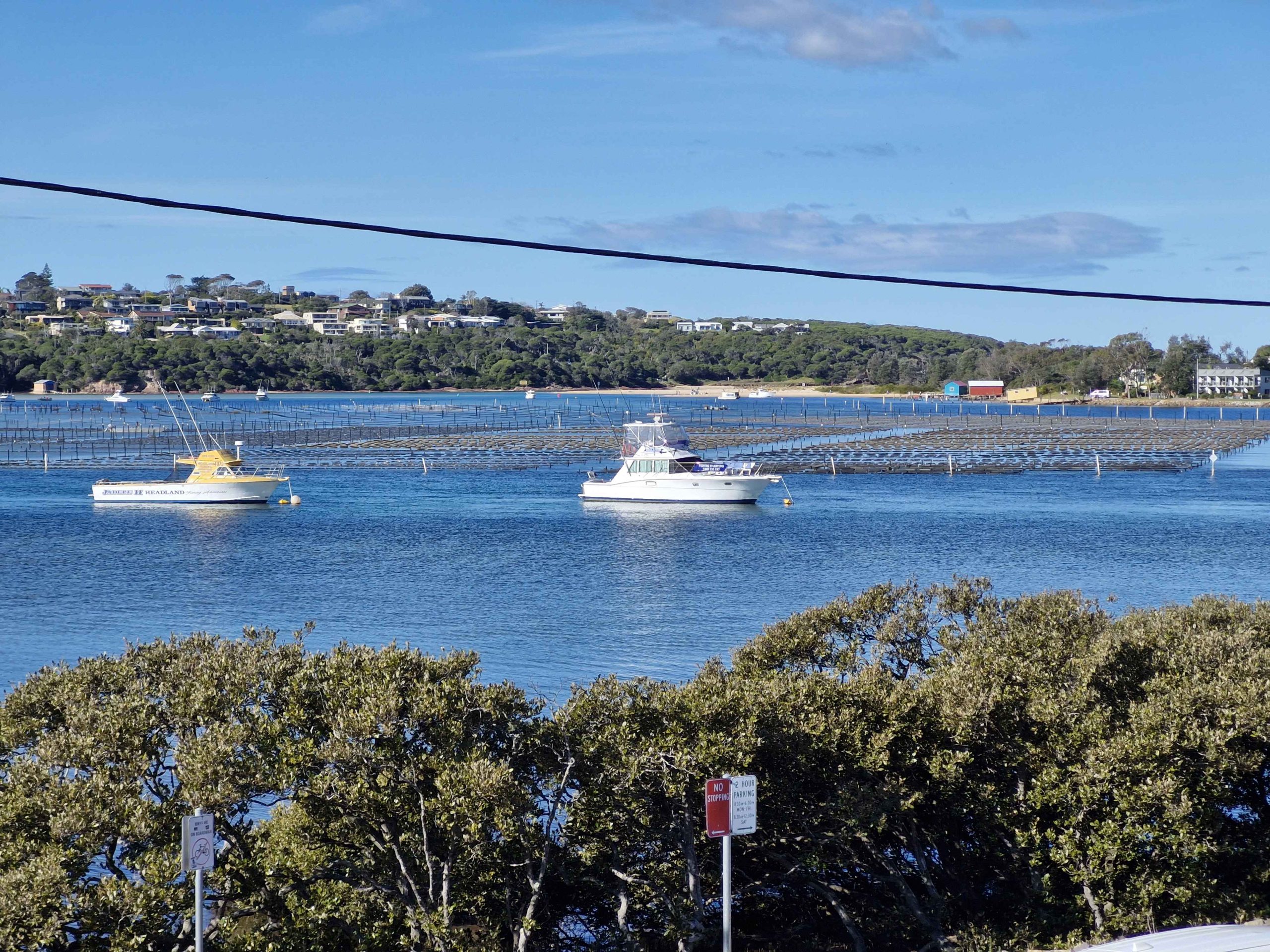
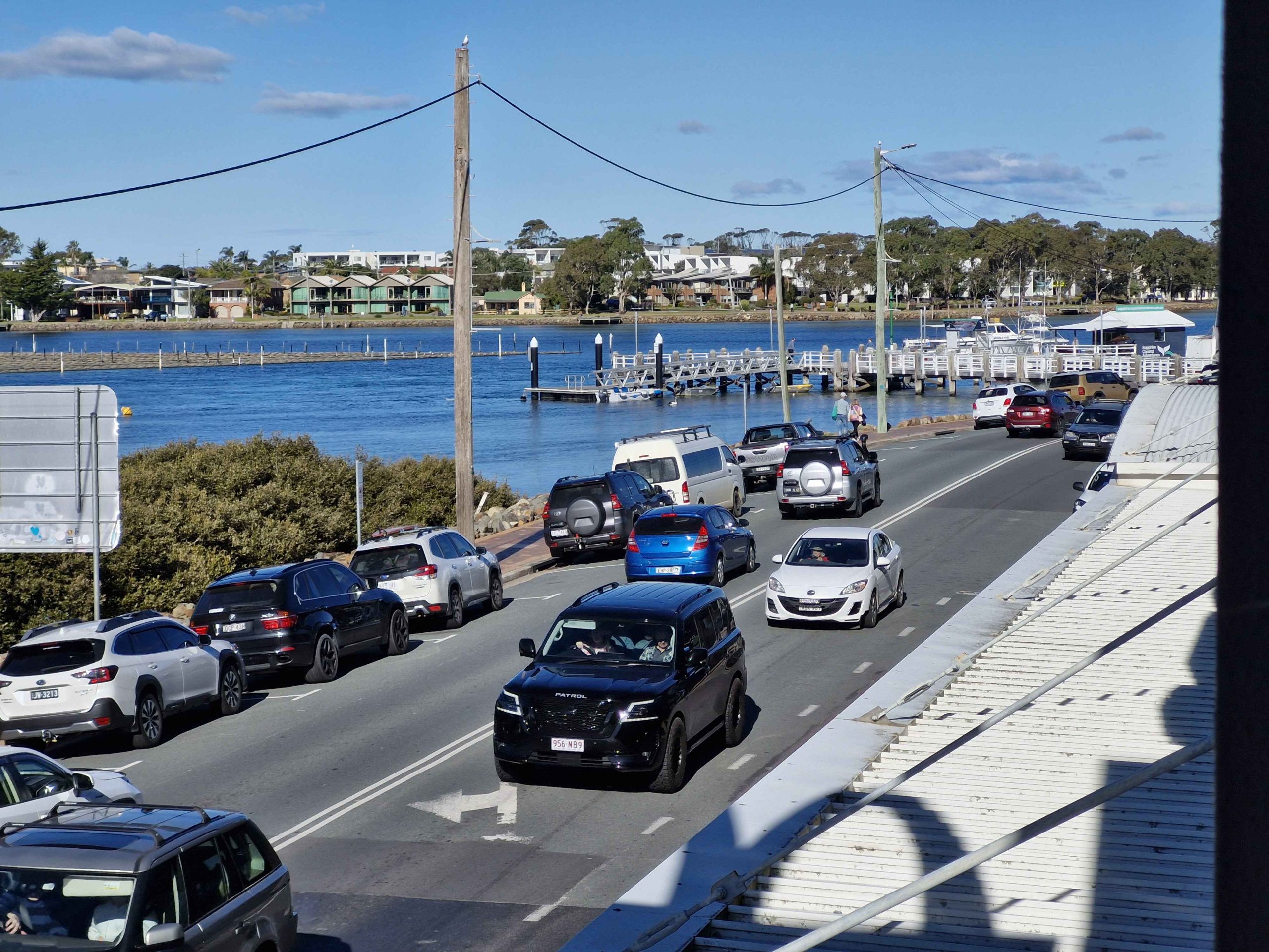
Merimbula, New South Wales
Boats and Oyster Beds at Merimbula.
Merimbula Main Street, Pacific Highway.
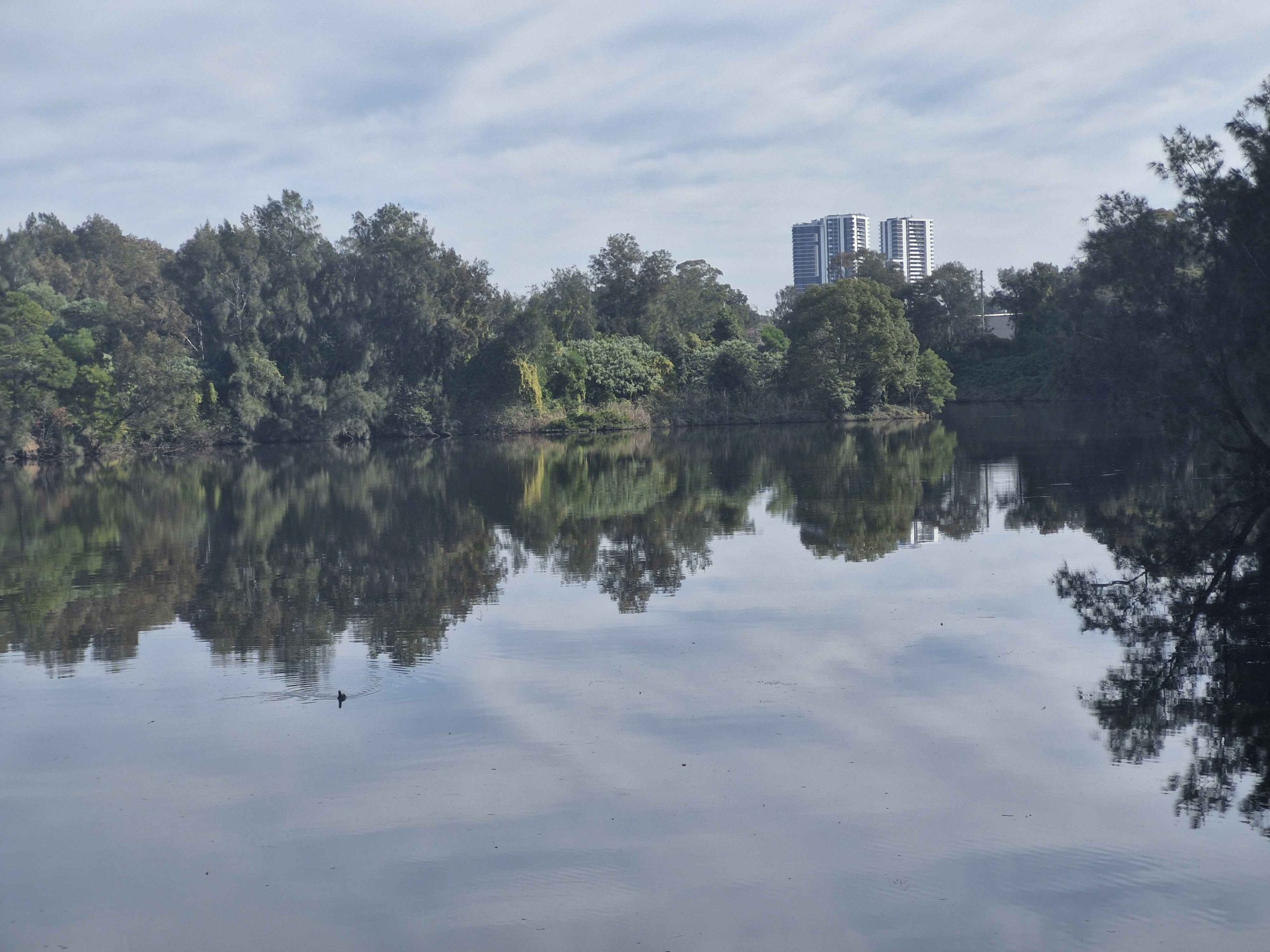
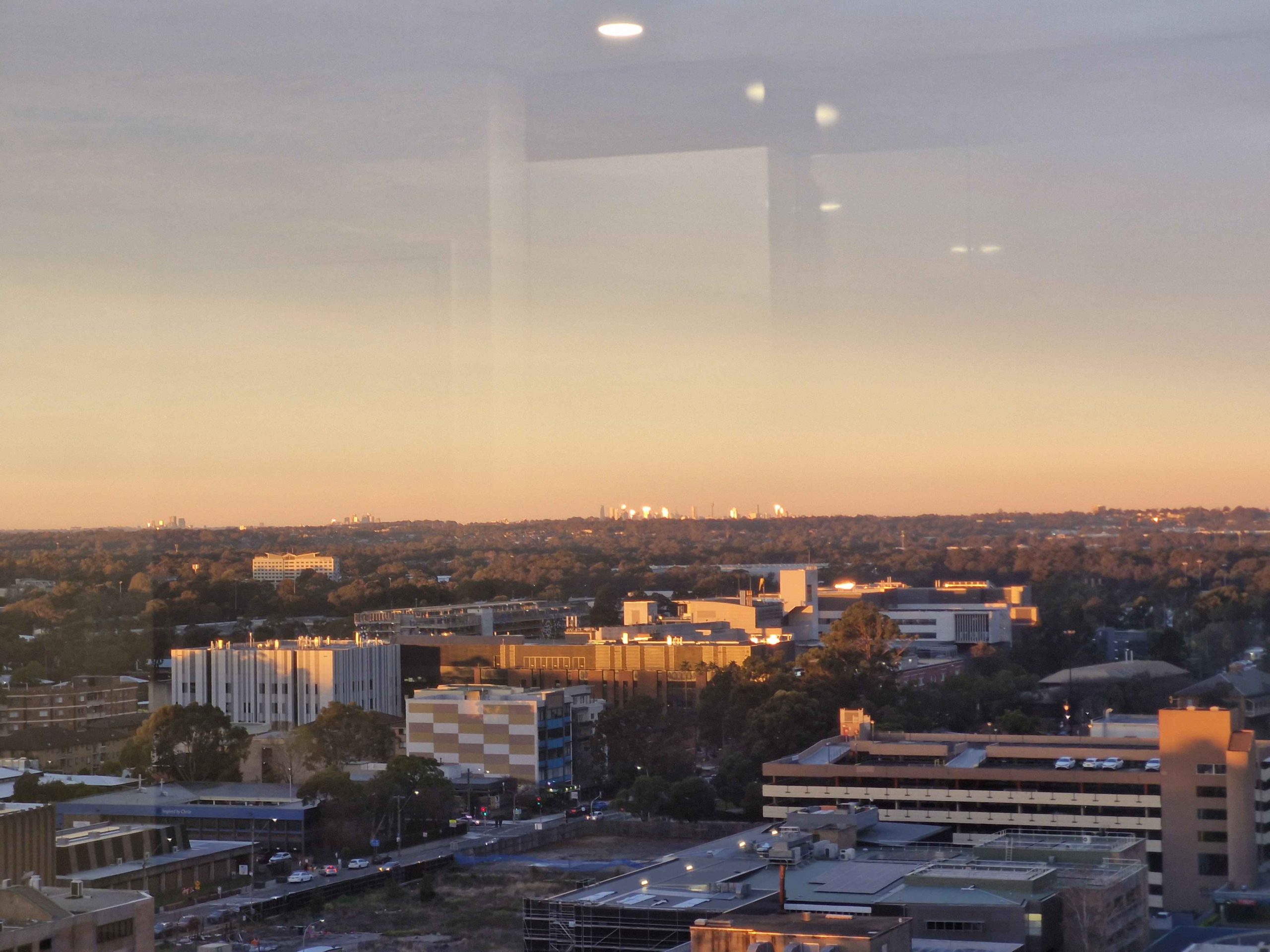
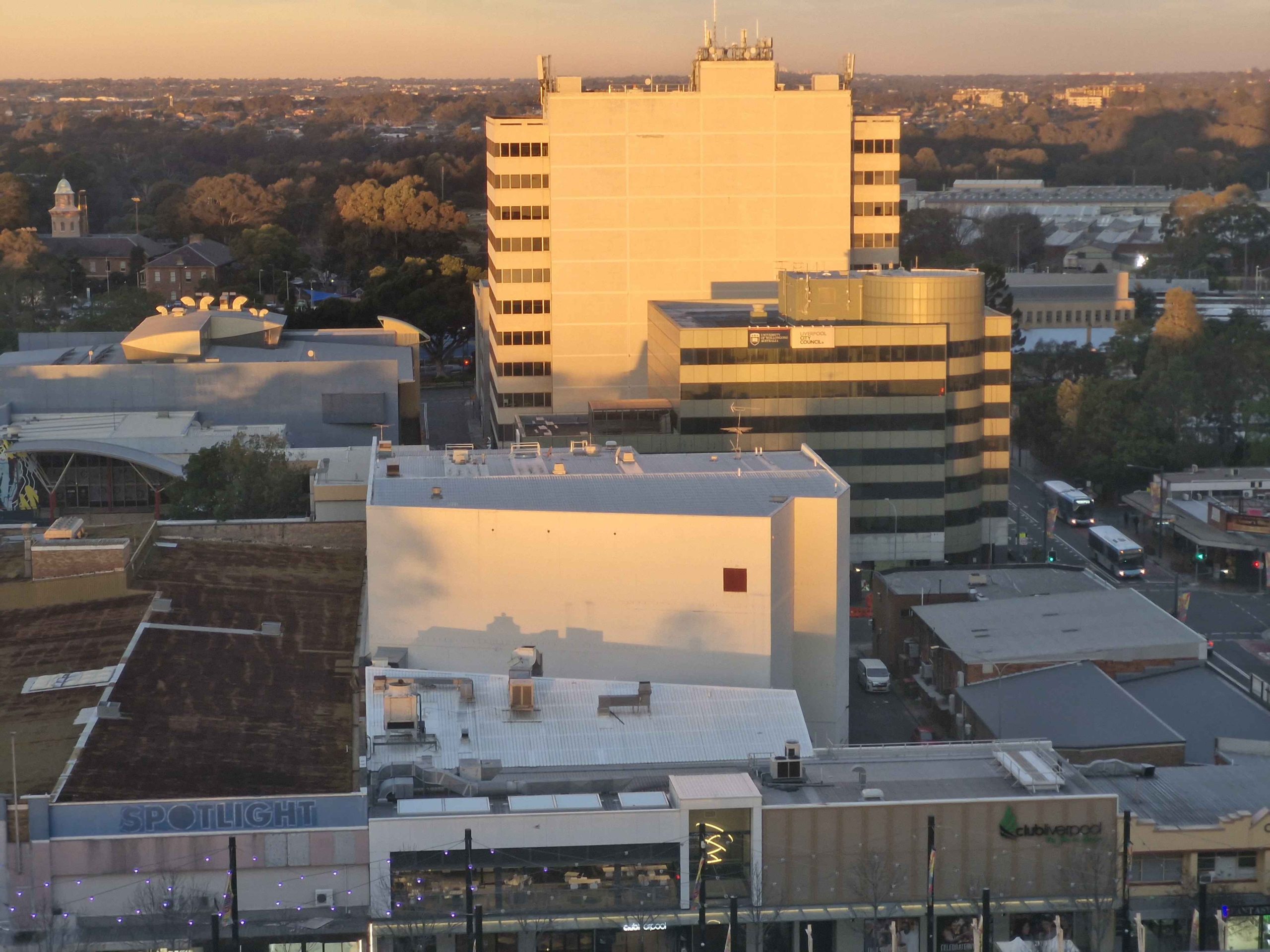
Liverpool, New South Wales
Lake More,, Liverpool NSW.Liverpool from Hotel, NSW.
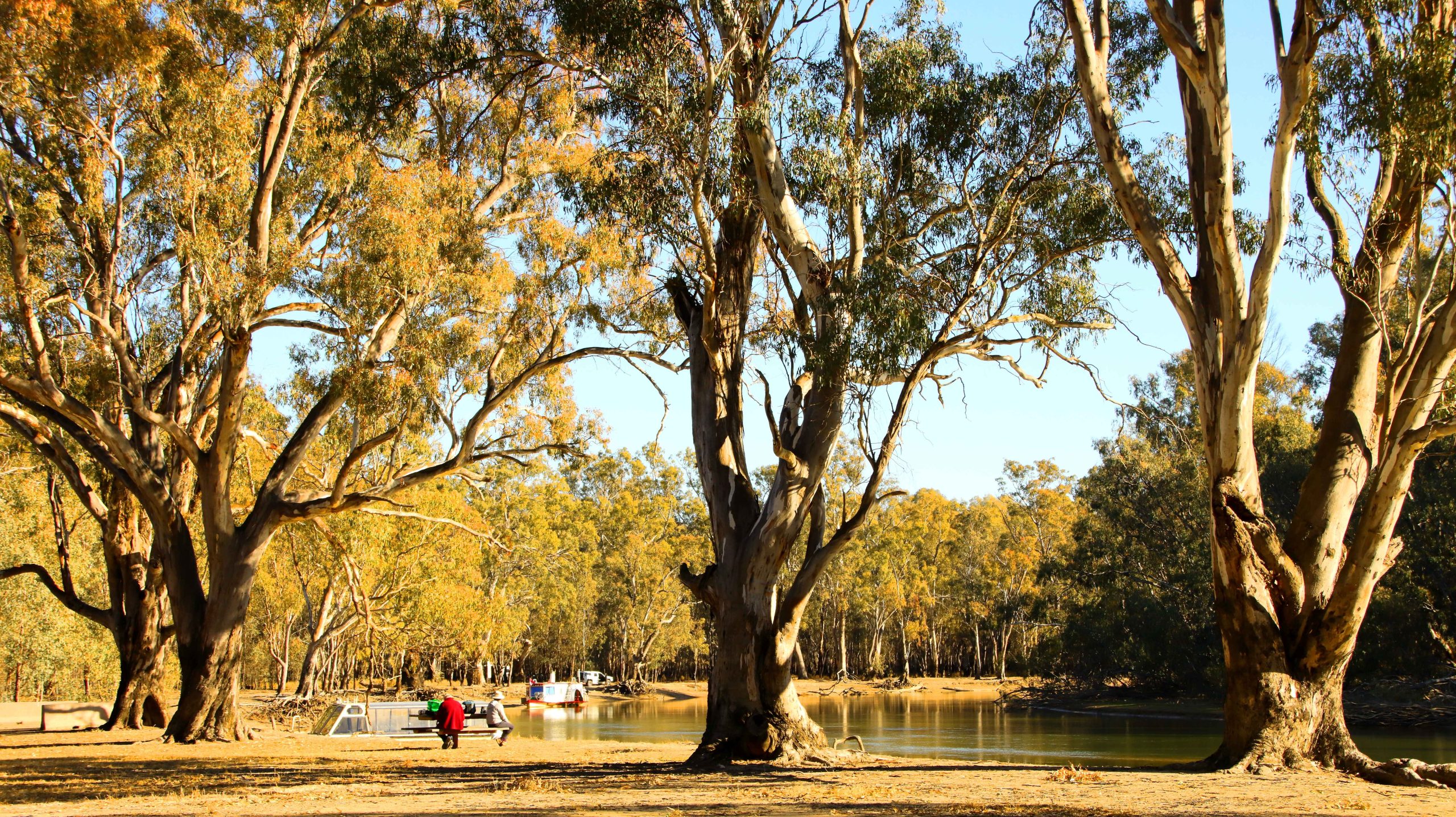
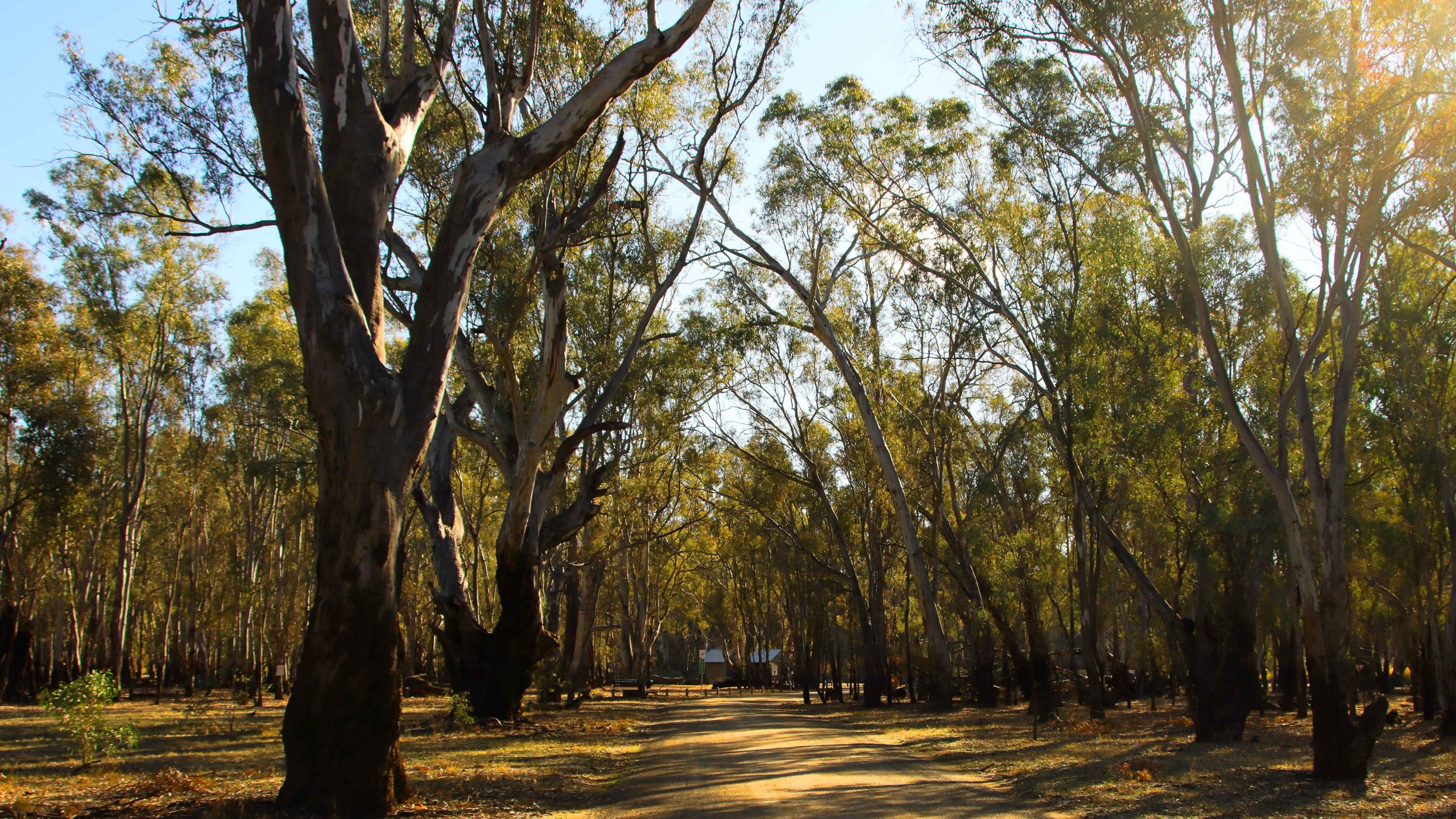
We spent two nights in Echuca and did a ride on a paddle wheel steamer while there. We toured the town and the river front area. So, naturally, I took a few photos.
Echuca Town Area
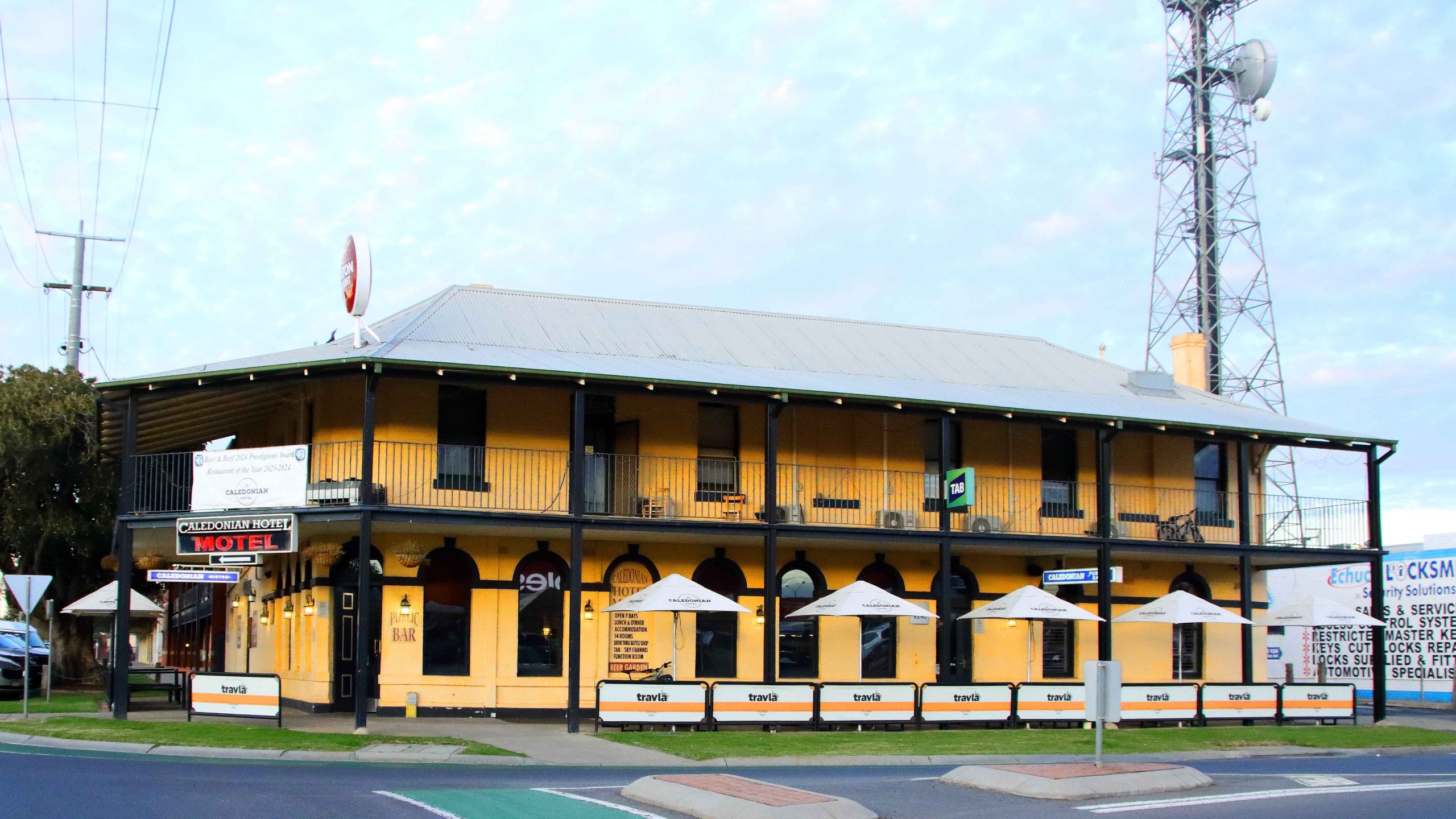
Our accommodation, Caledonian Hotel in Hare Street.
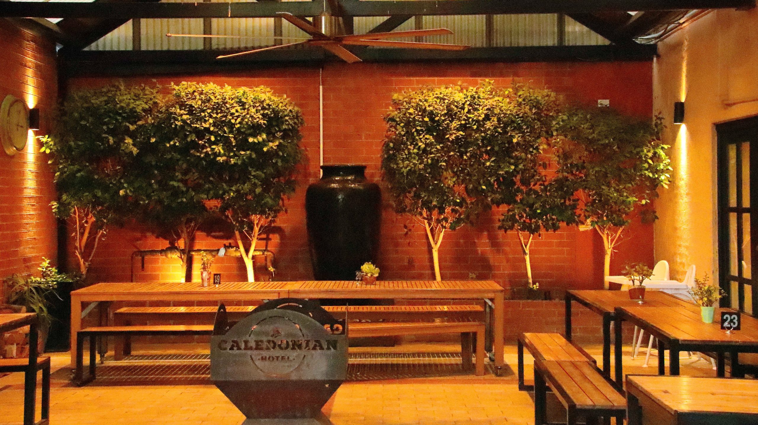
Coffee Shop (Closed) at the Caledonian Hotel, Echuca
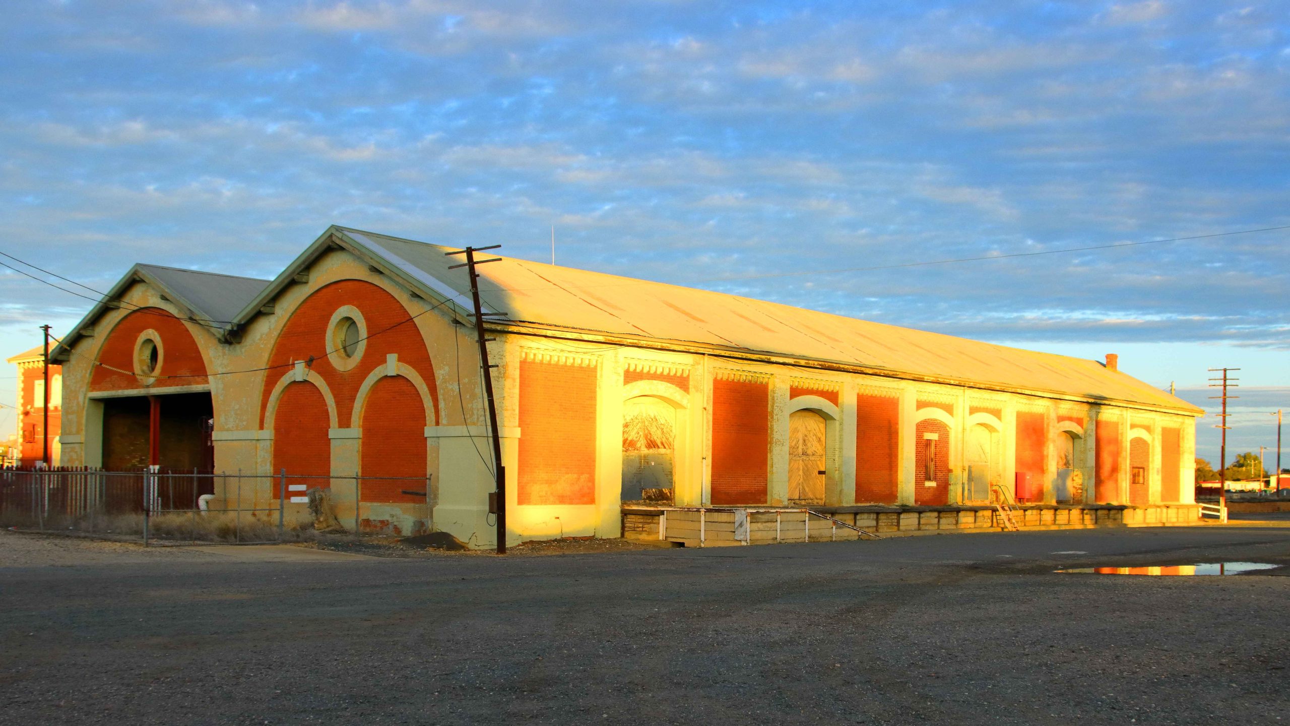
Railway Goods Sheds in the evening light.
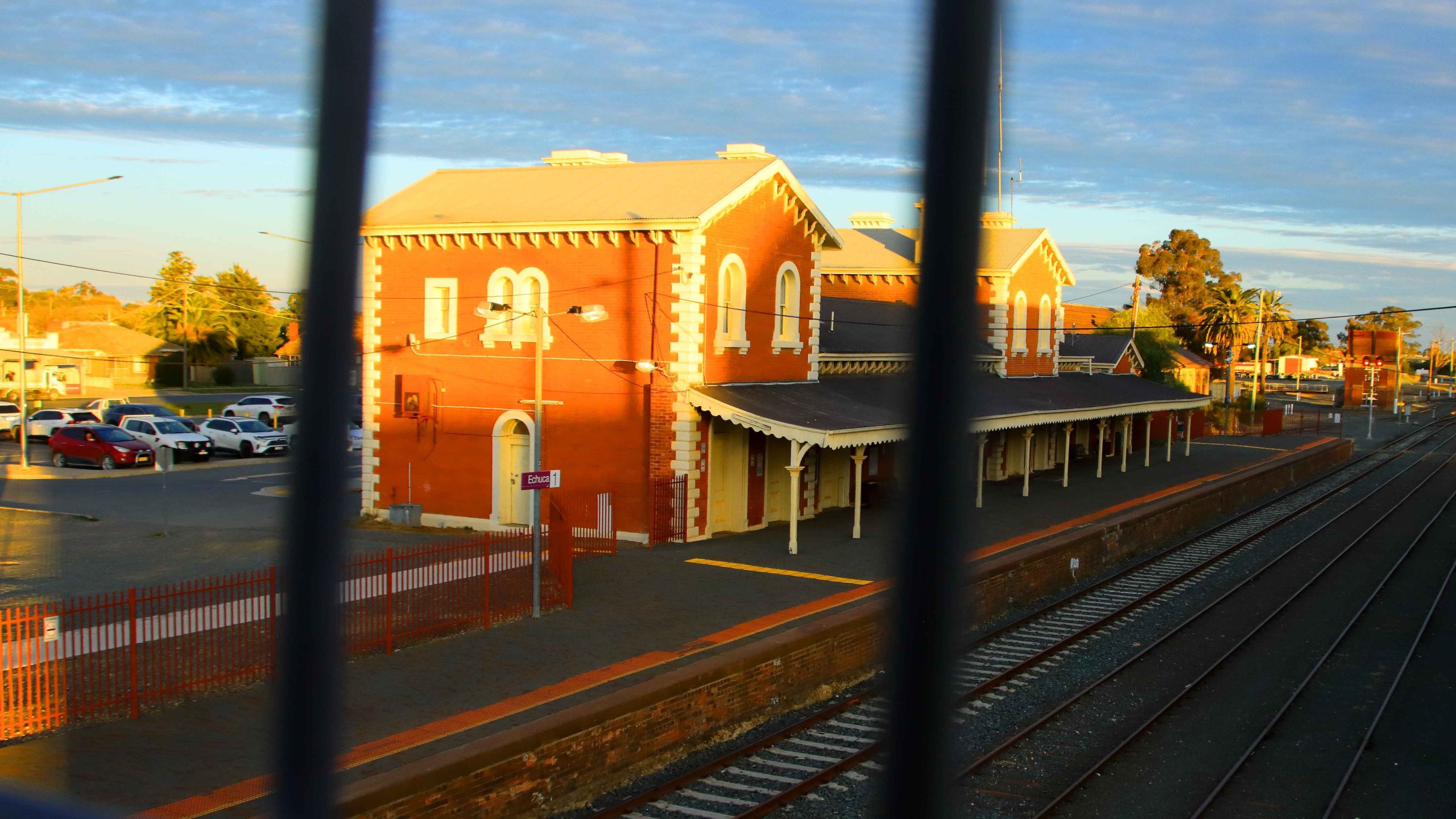
Echuca Railway Station – through the bridge rail.
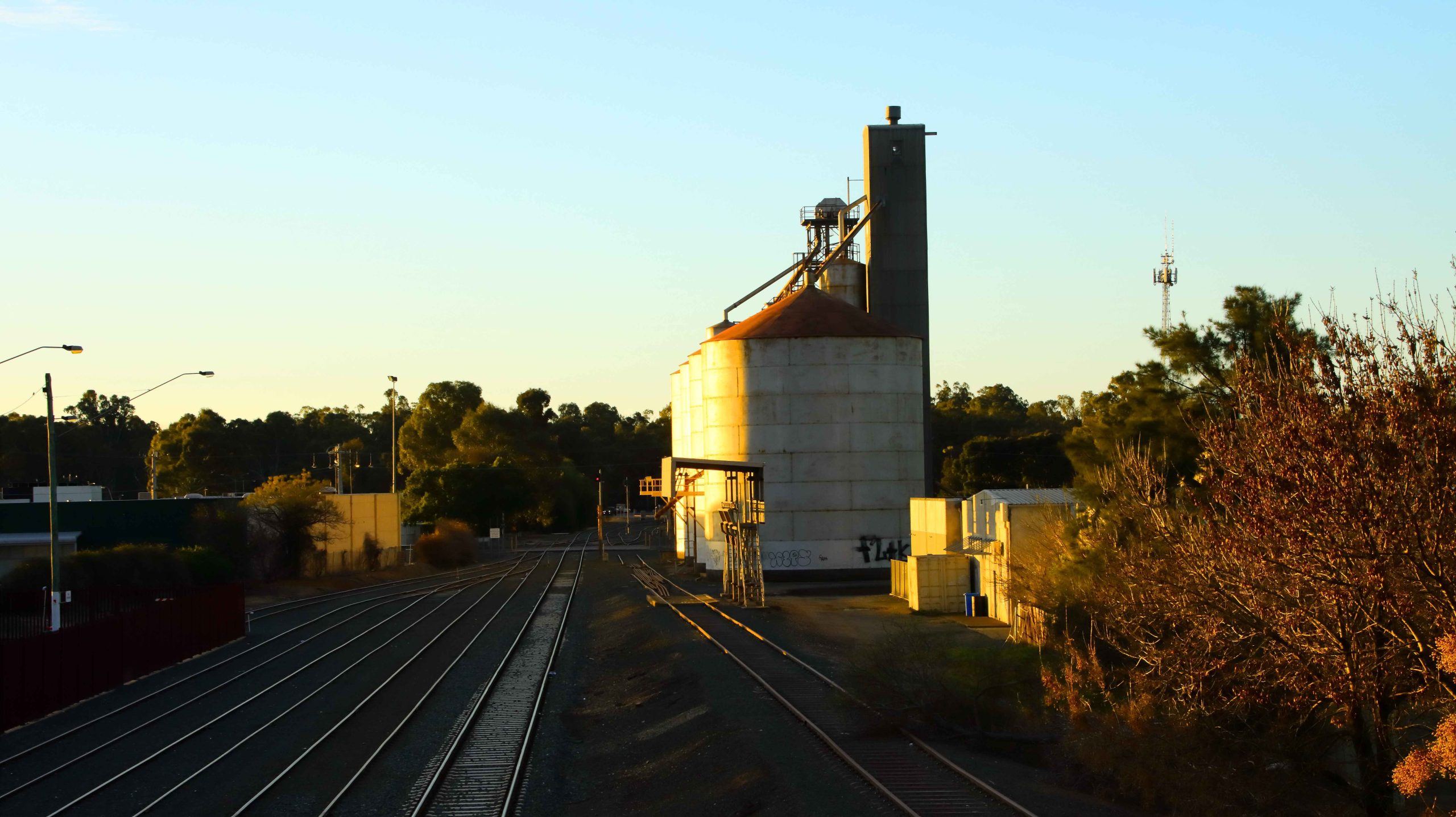
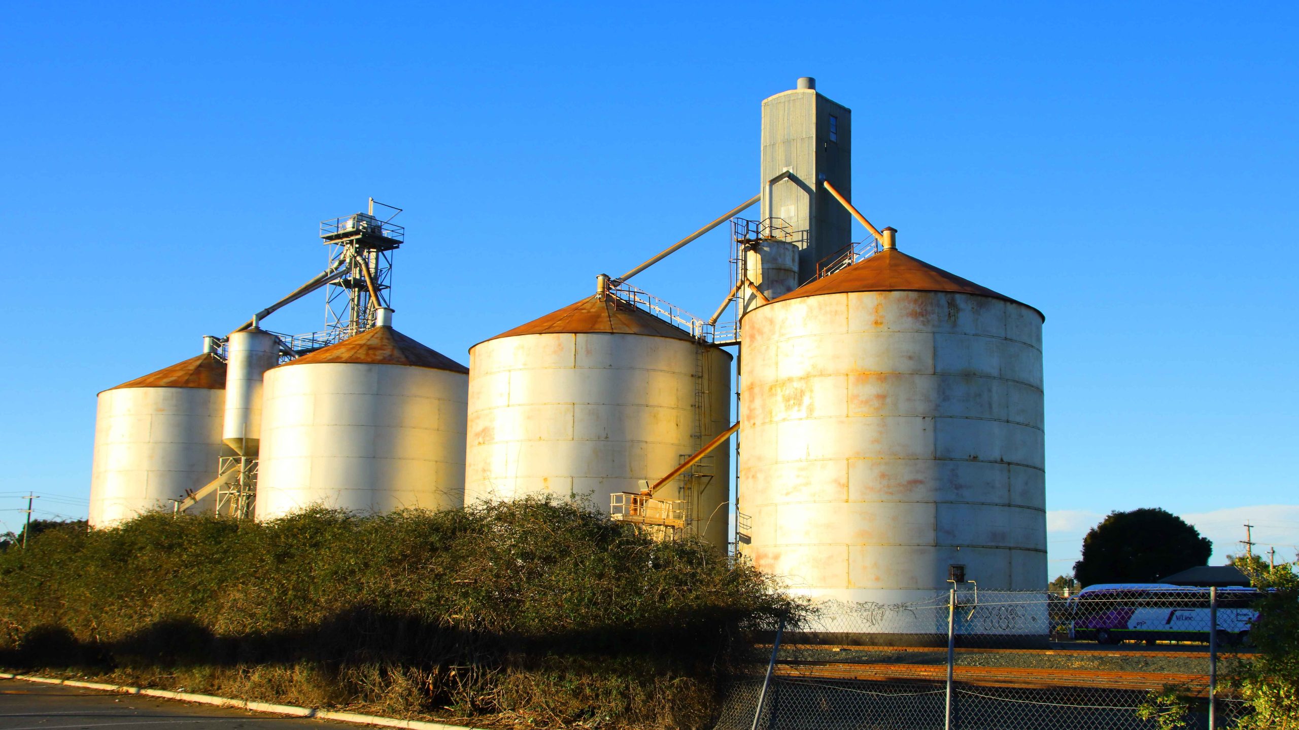
Grain Silos reflect the setting sun.
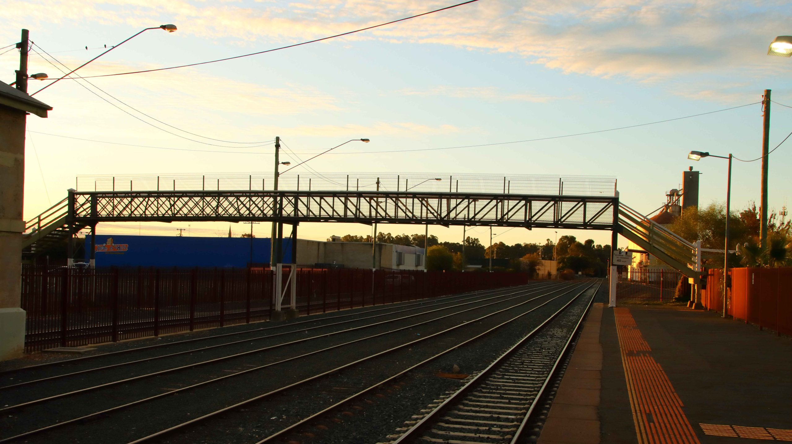
Pedestrian Bridge that links the platfolfms.
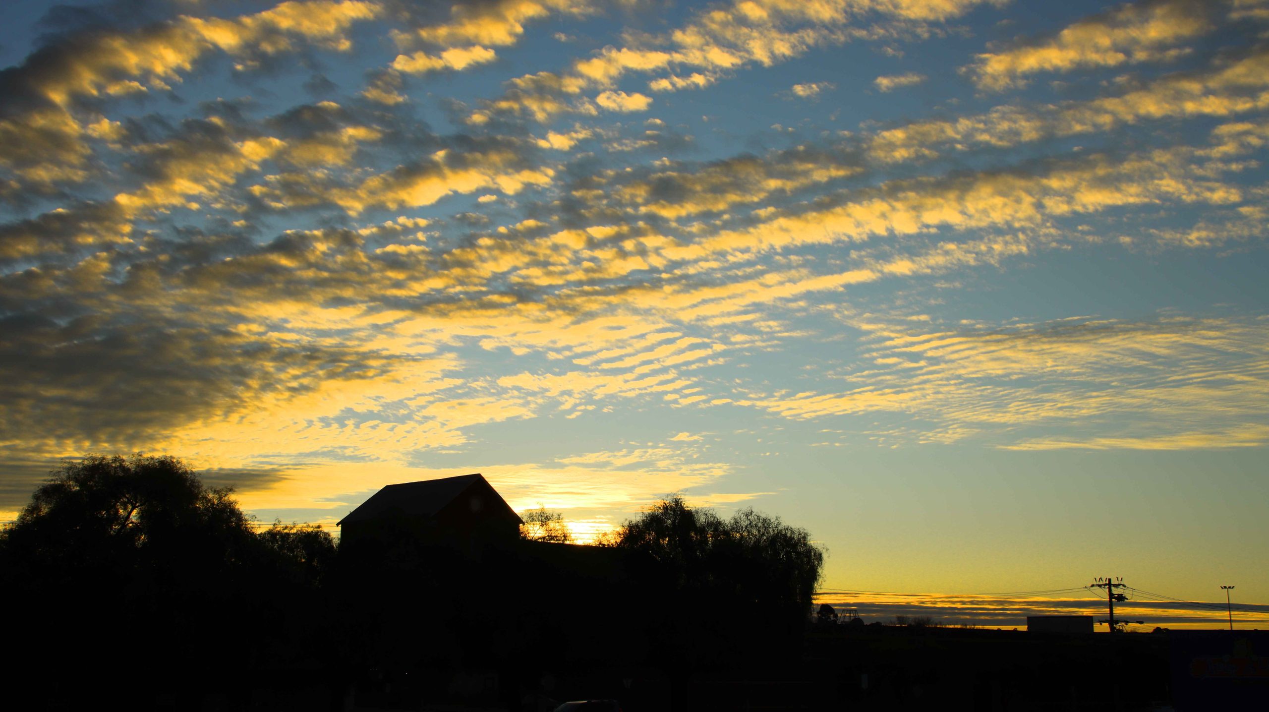
Evening Sky Over Railside Buildings.
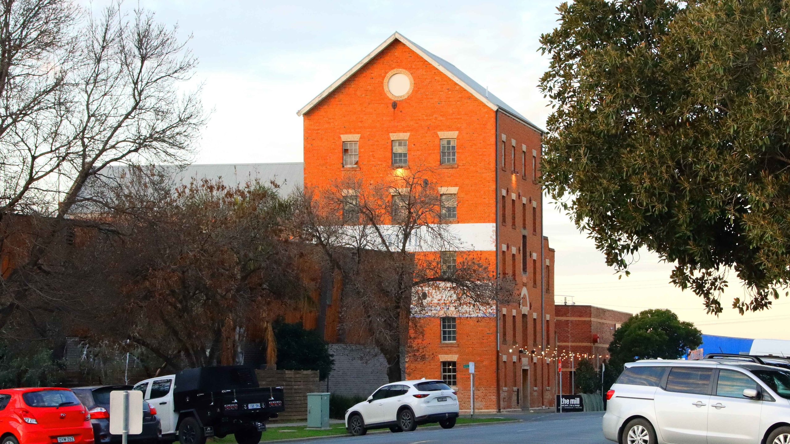
The Old Mill Restaurant.
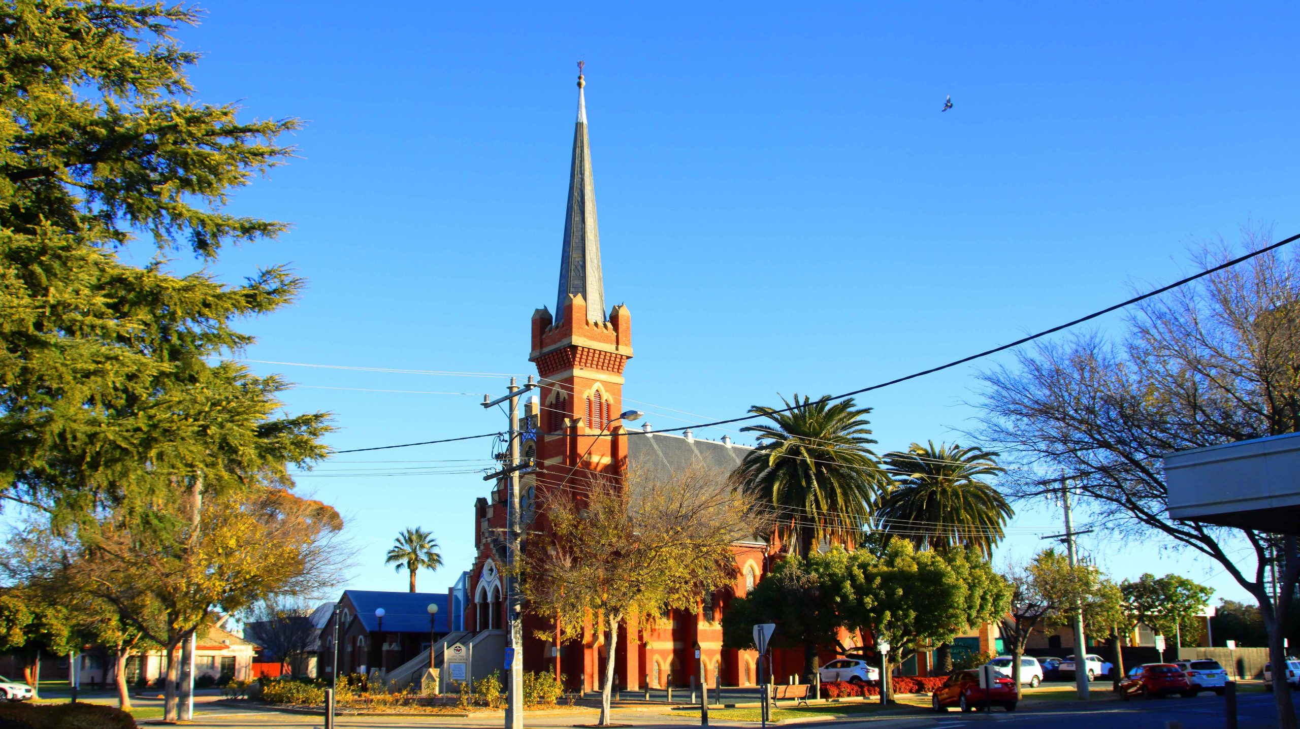
Uniting Church, Echuca.
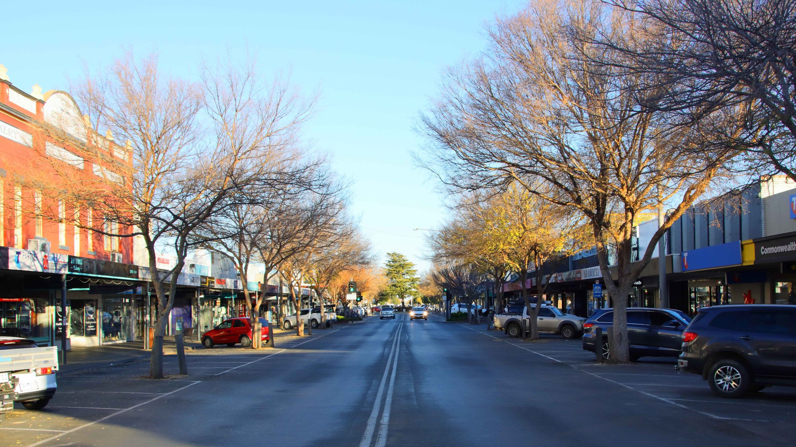
Facing North in High Street, Echuca.
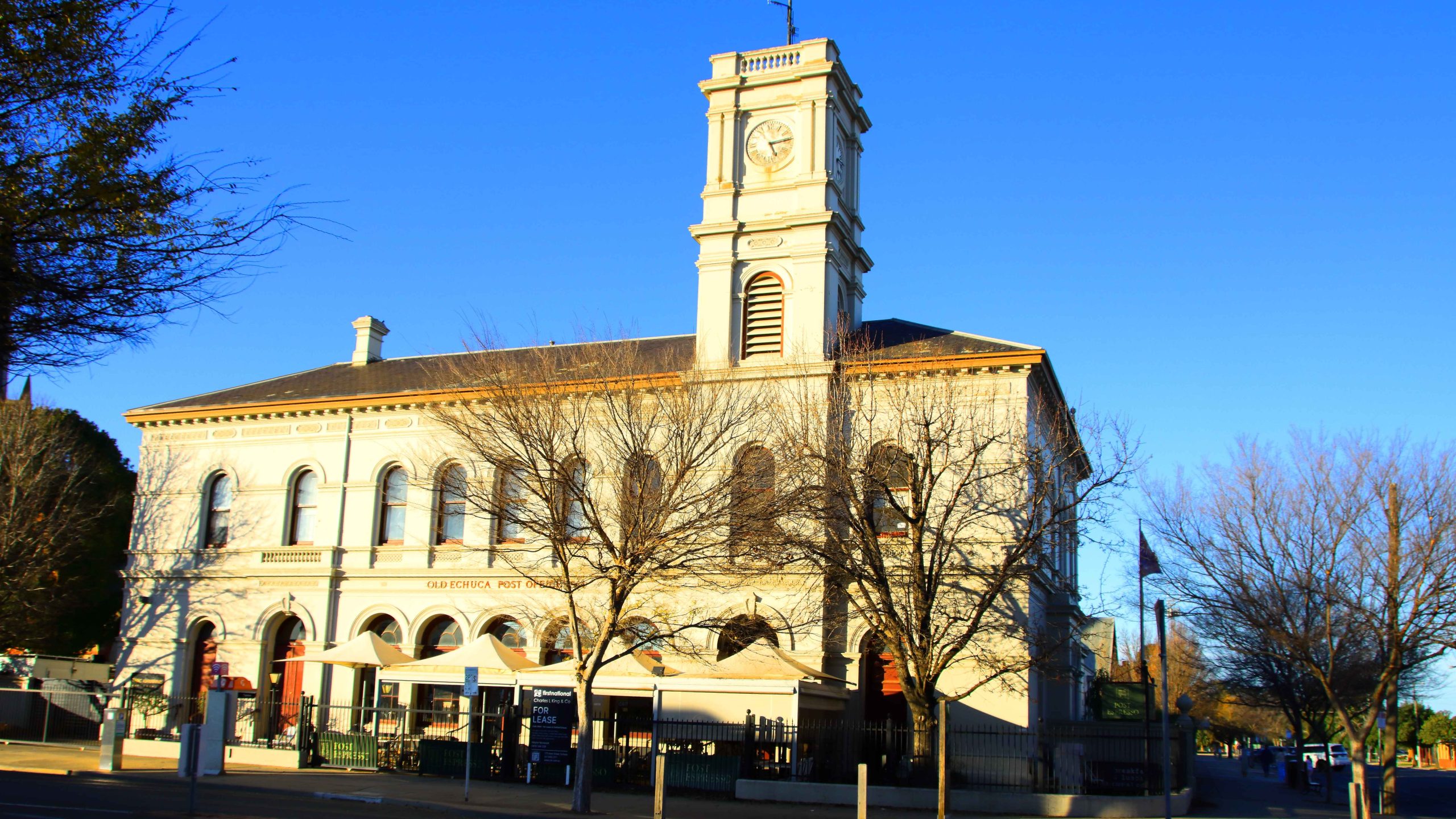
Old Town Hall, Echuca.
Facing North in Hare Street , Echuca. Trees at The End of the Street Line the Murray River.
Grain Silos at the Railway Station, Echuca.
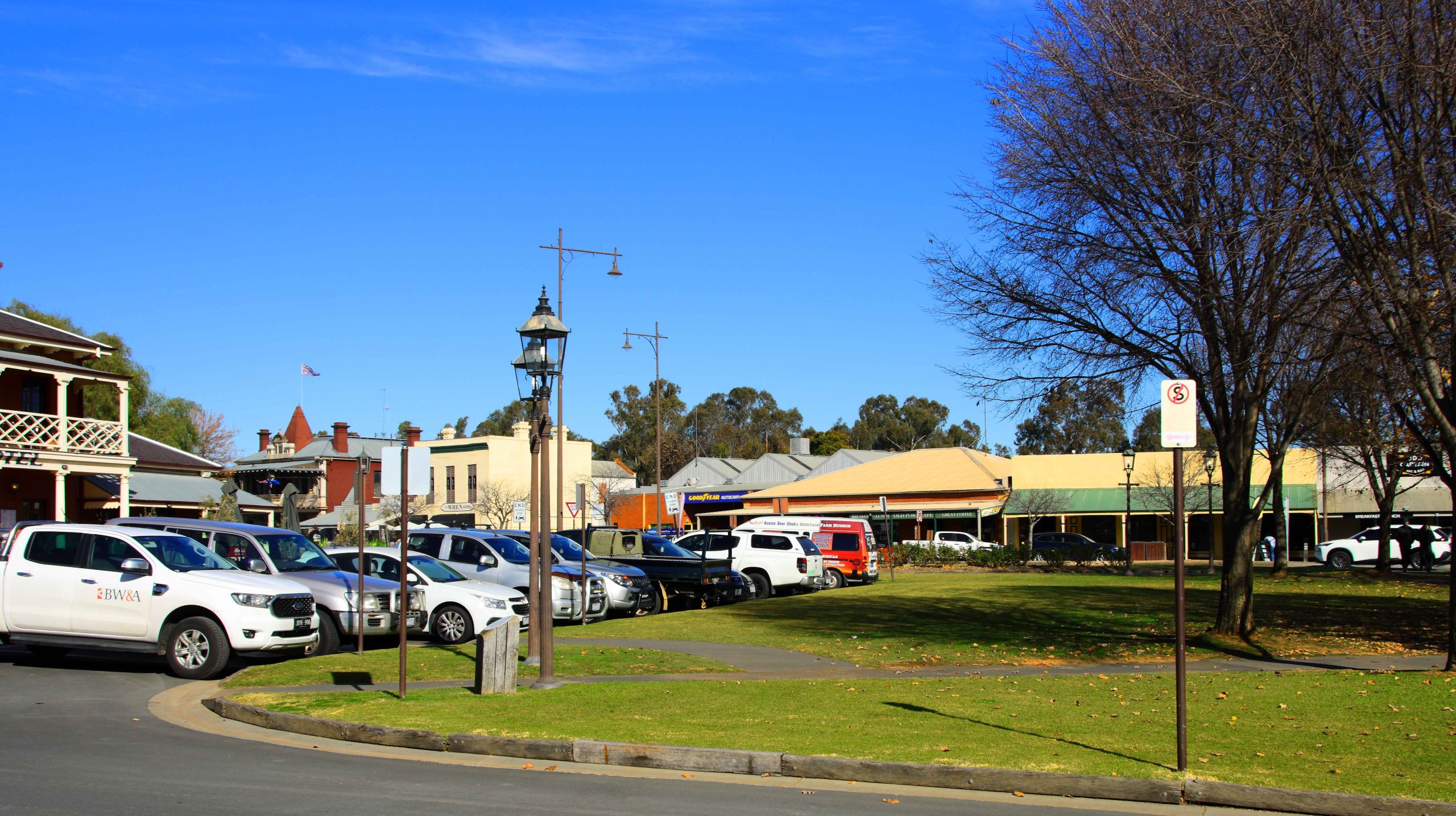
Port of Echuca Precinct
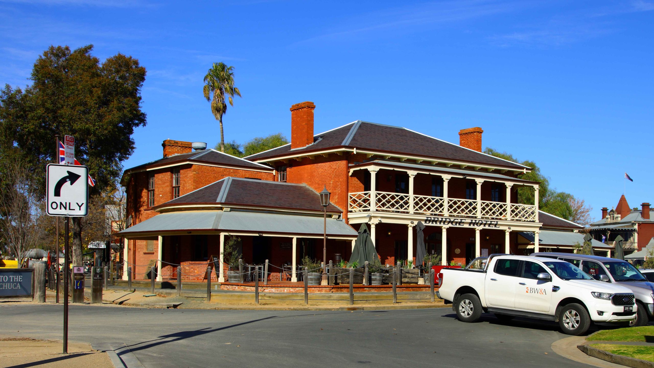
Bridge Hotel, Port Precinct, Echuca.
Town Area Near the Port Area, Echuca.
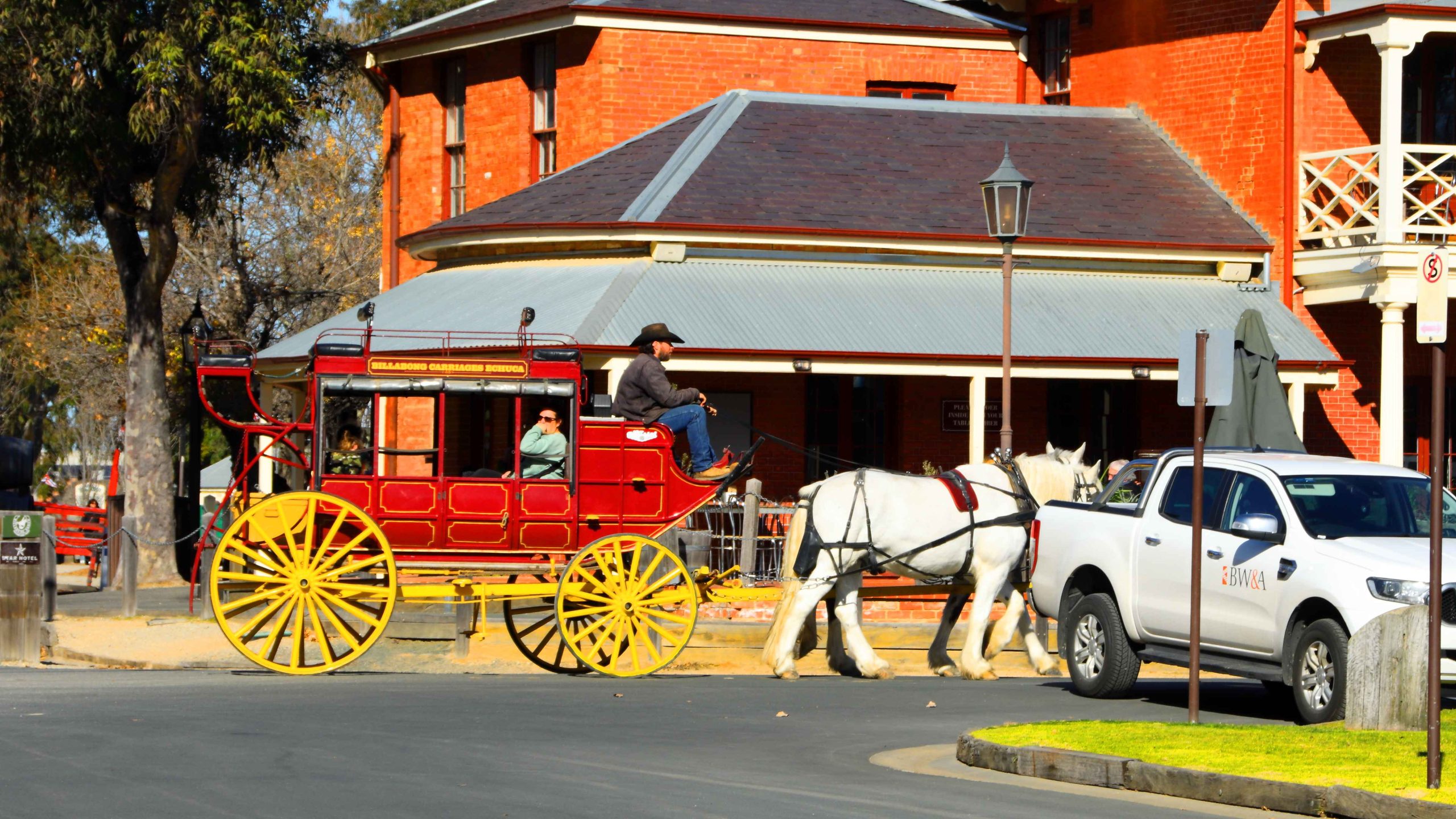
Horse Drawn Carriage Rides Are Available at Port Echuca.
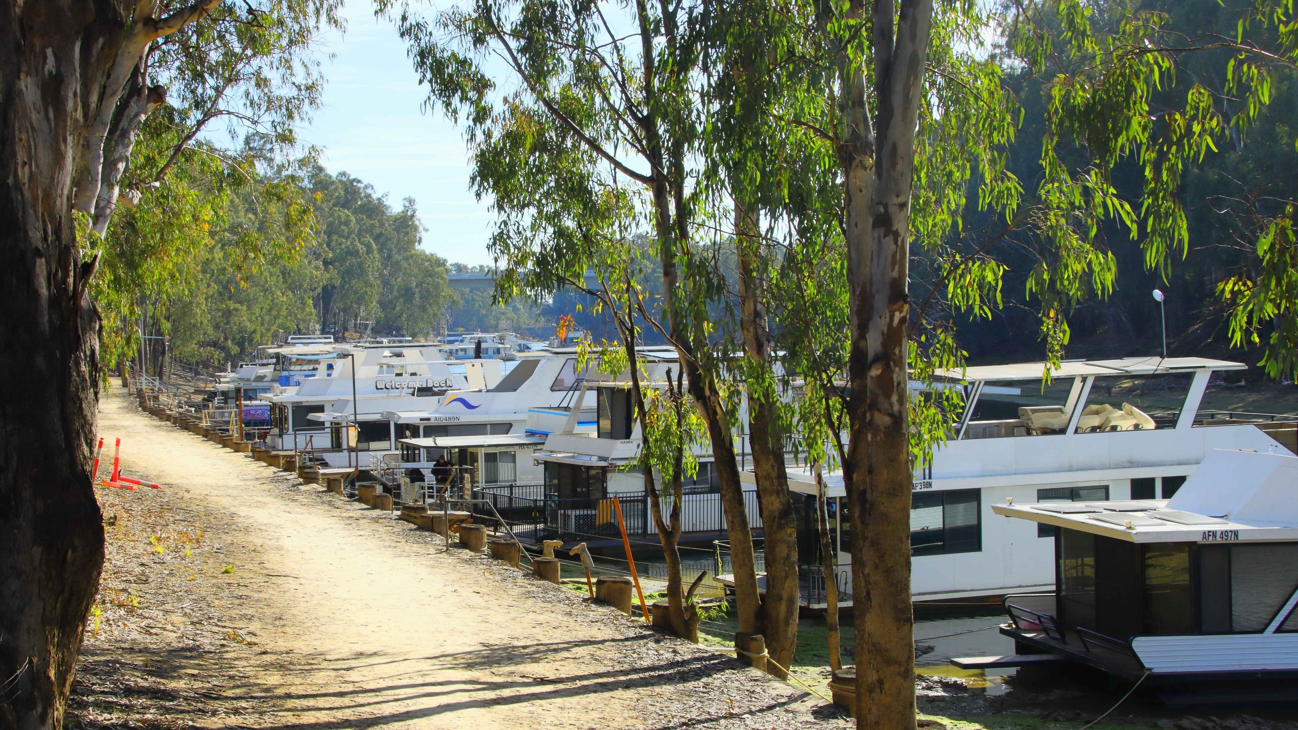
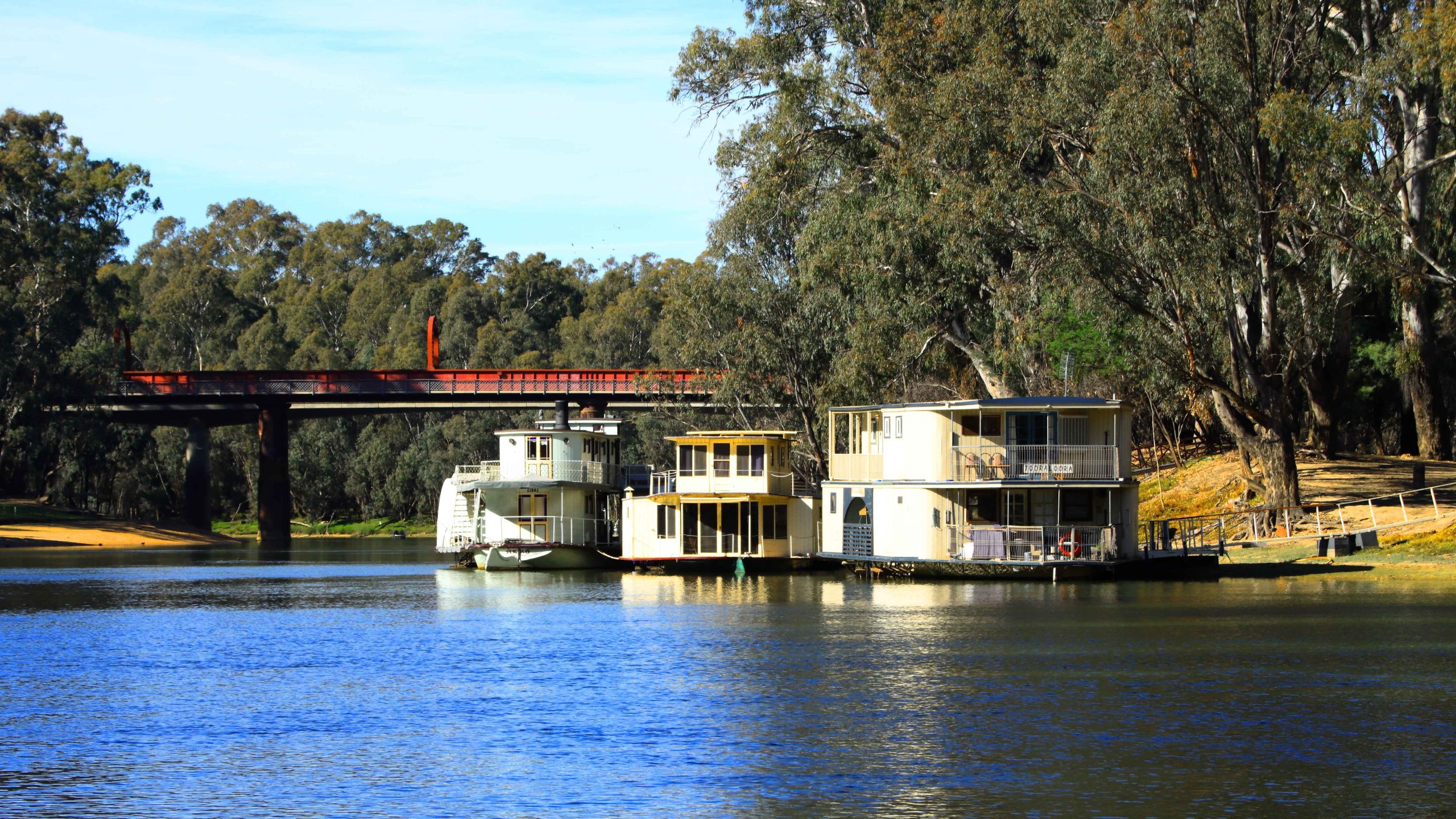
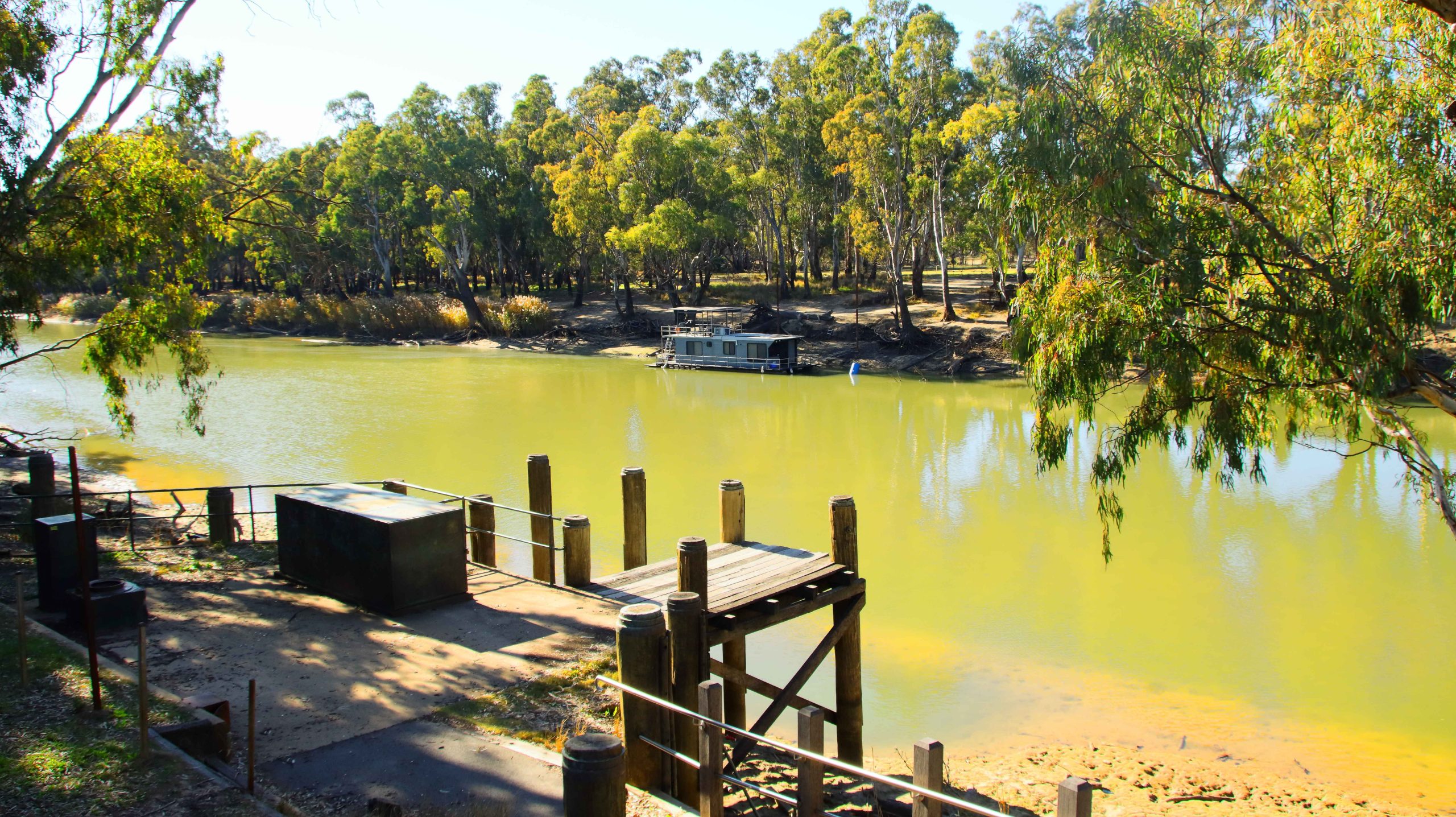
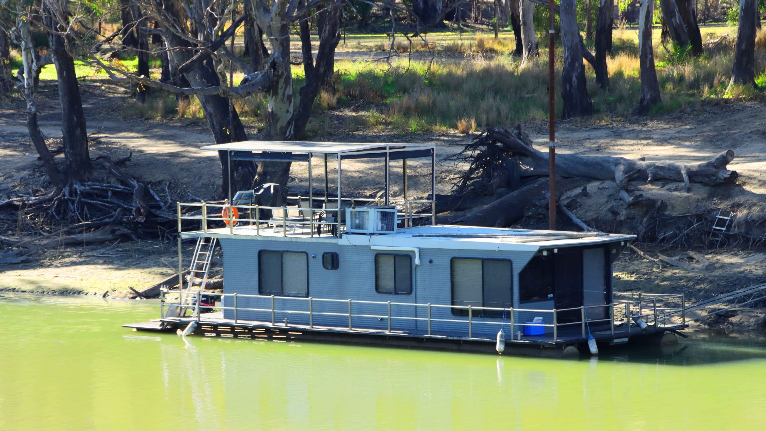
House Boats for Rent, South Bank, Murray River, Echuca.
More Echuca House Boats.
Houseboats, Murray River, Echuca.
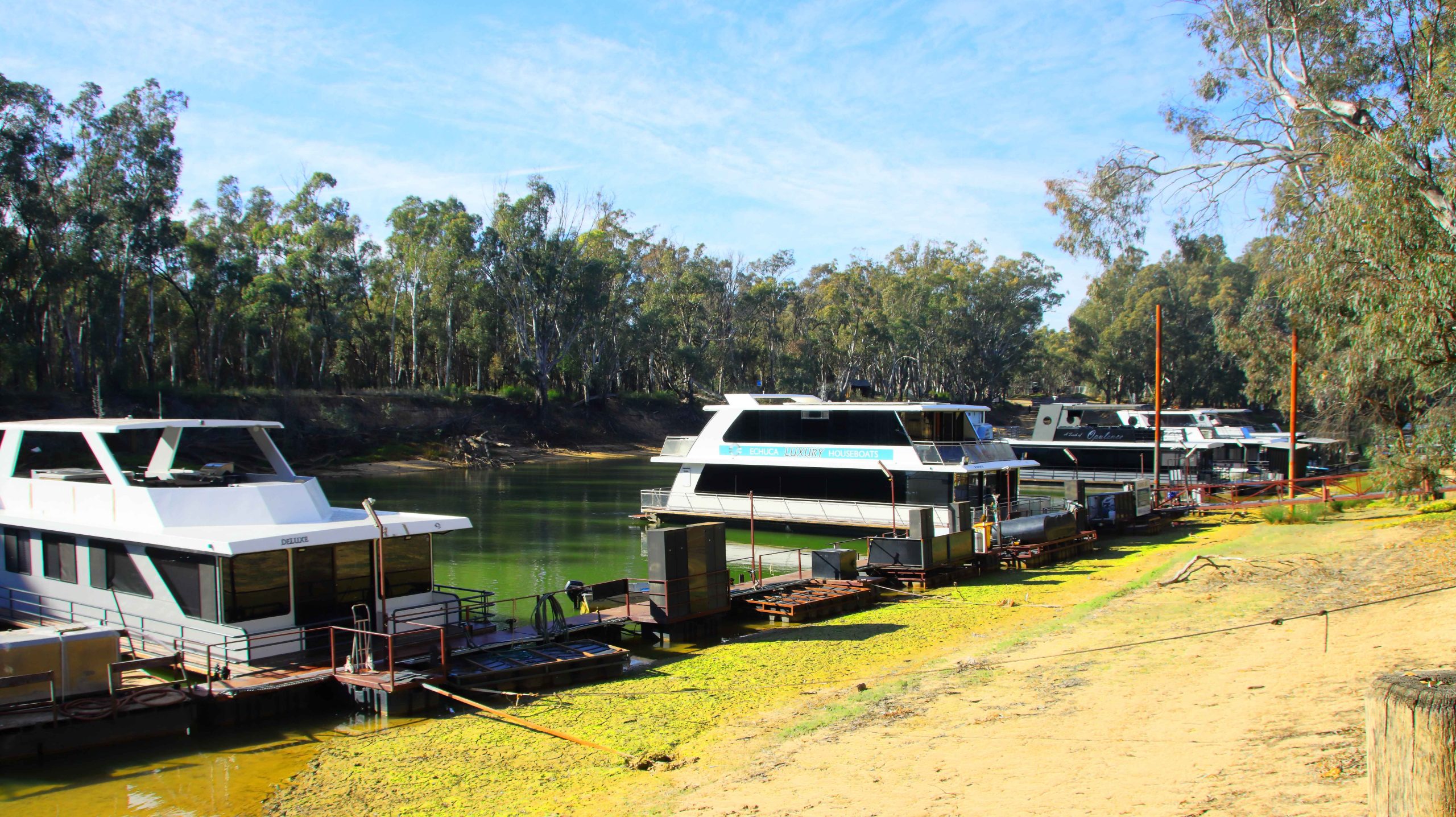
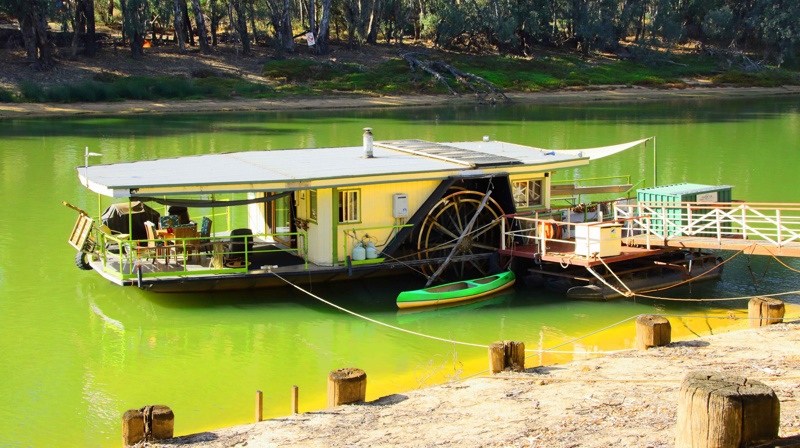
Private Paddle Wheel Houseboat. Echica.
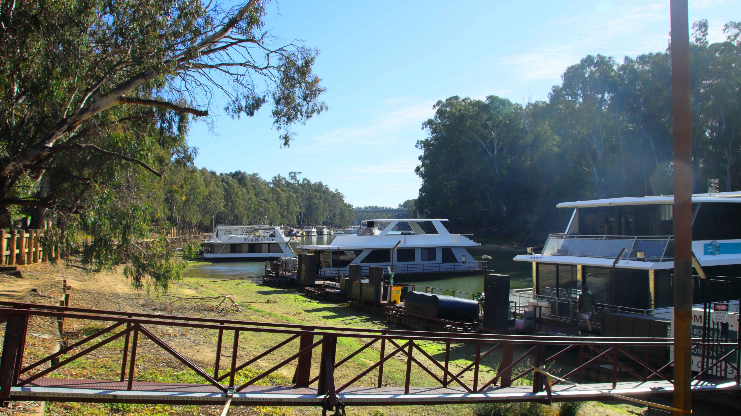
Moored House Boats, near the Original Crossing Bridge into NSW.
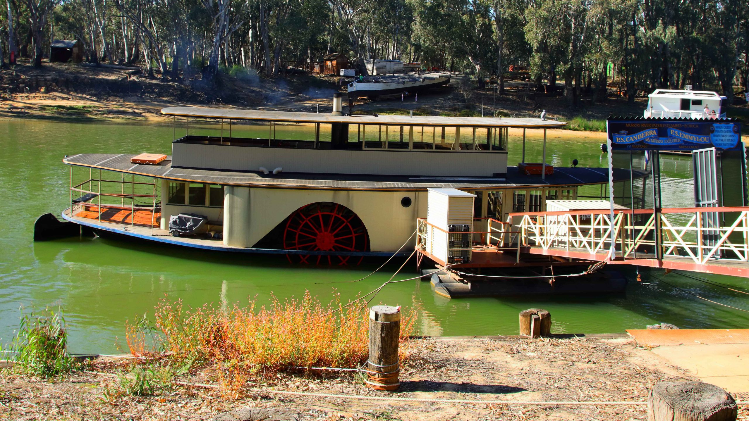
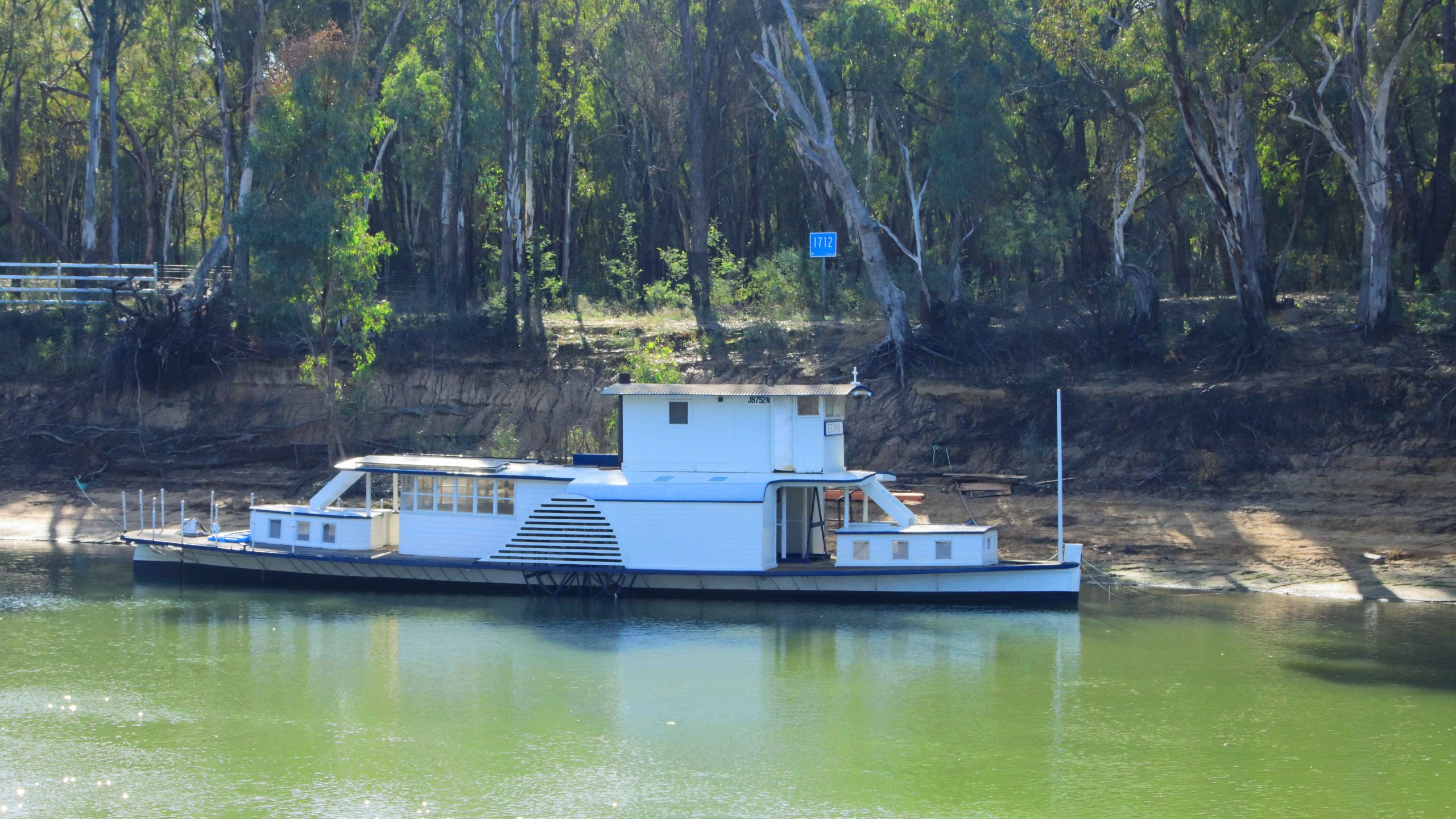
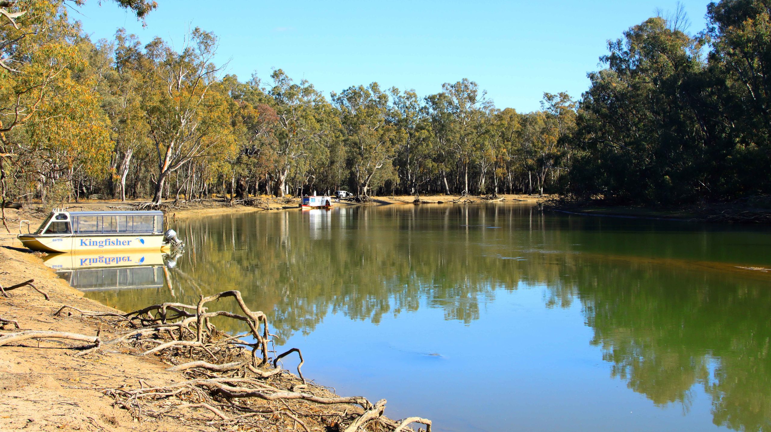
PS Canberra Awaiting Passengers, Murray River, Echuca.
Four hundred kilometres per day keeps oldies like us occupied in just making progress. We stopped for photographs as we could, so there are some distances between the areas covered in this gallery.
Coonabarabran and Gilgandra
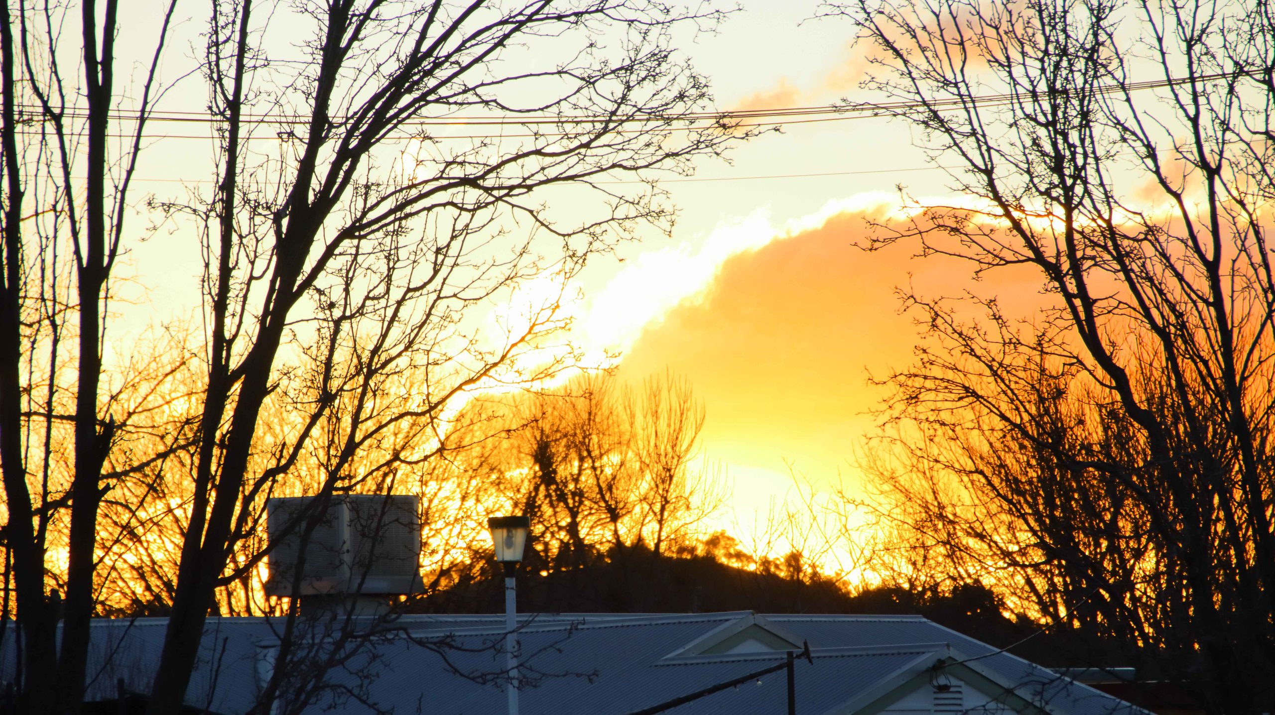
Sunset at Coonabarabran NSW.
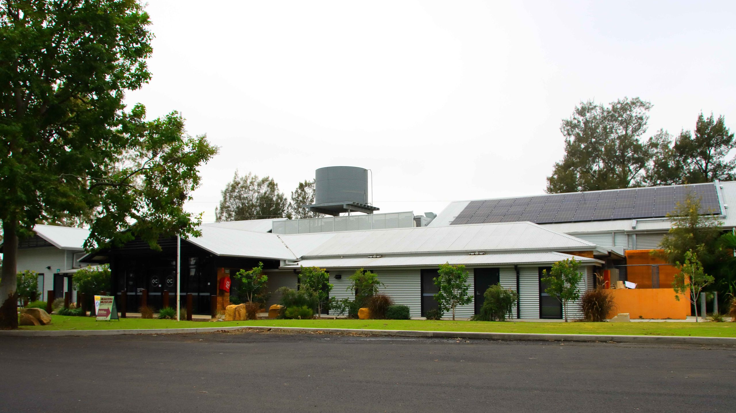
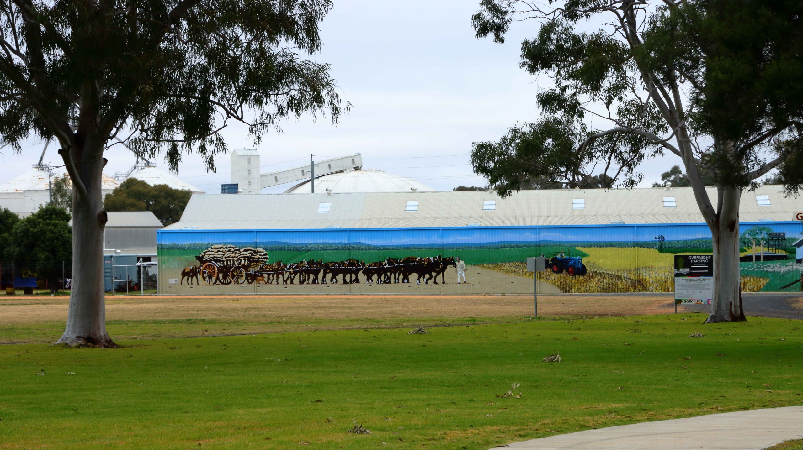
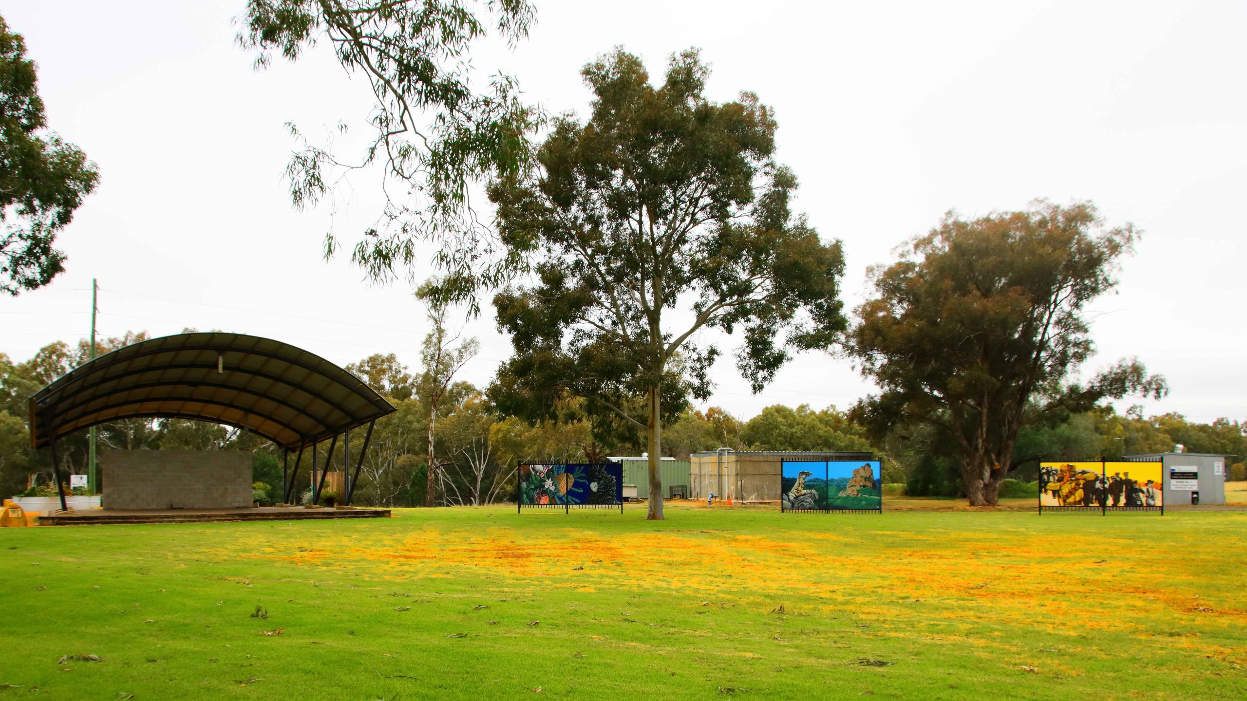
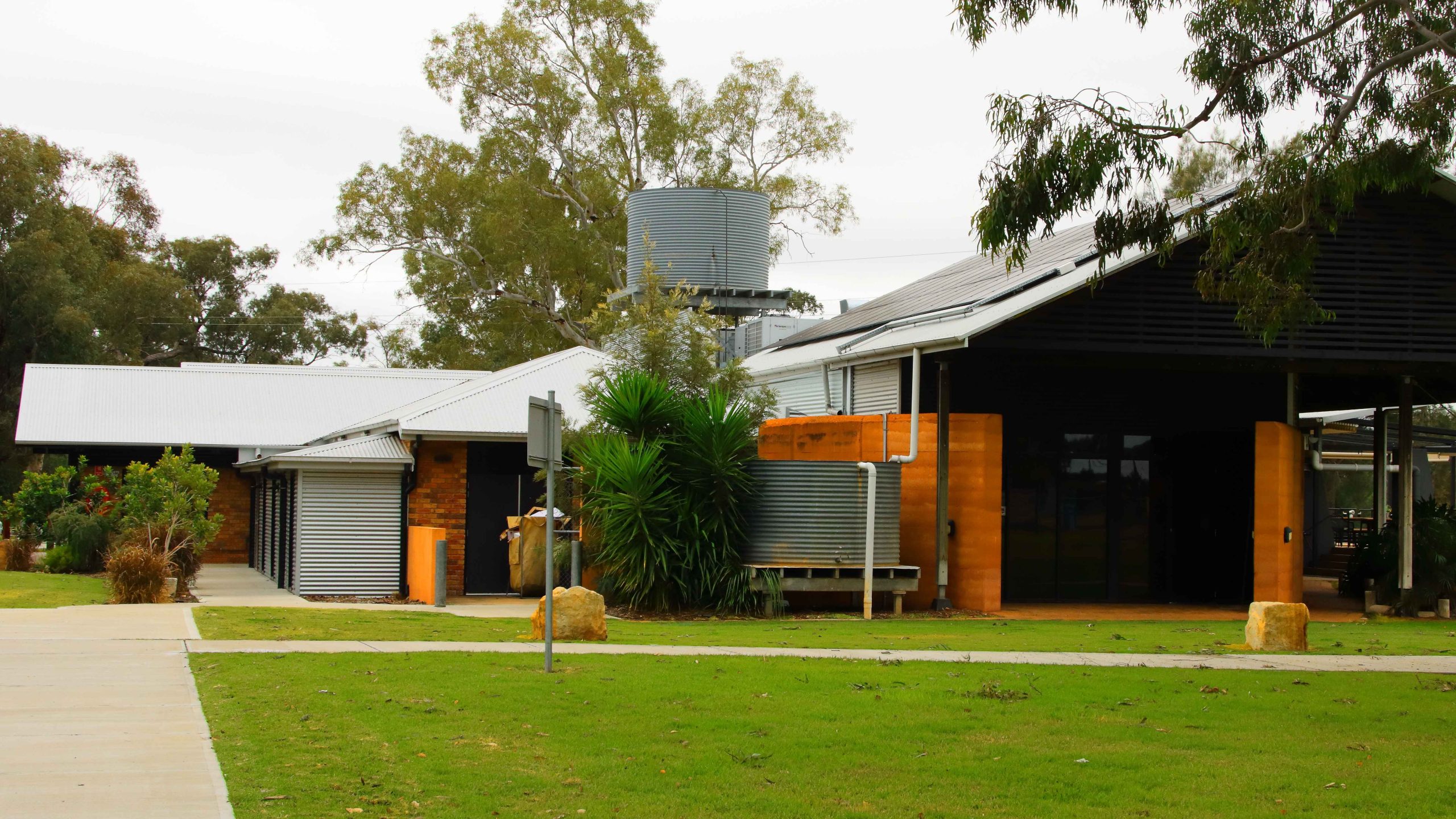
Cooee Information Centre, Gilgandra NSW
Cooee Information Centre, Gilgandra NSW
Cooee Information Centre, Gilgandra NSW
Cooee Information Centre, Gilgandra NSW
Deniliquin
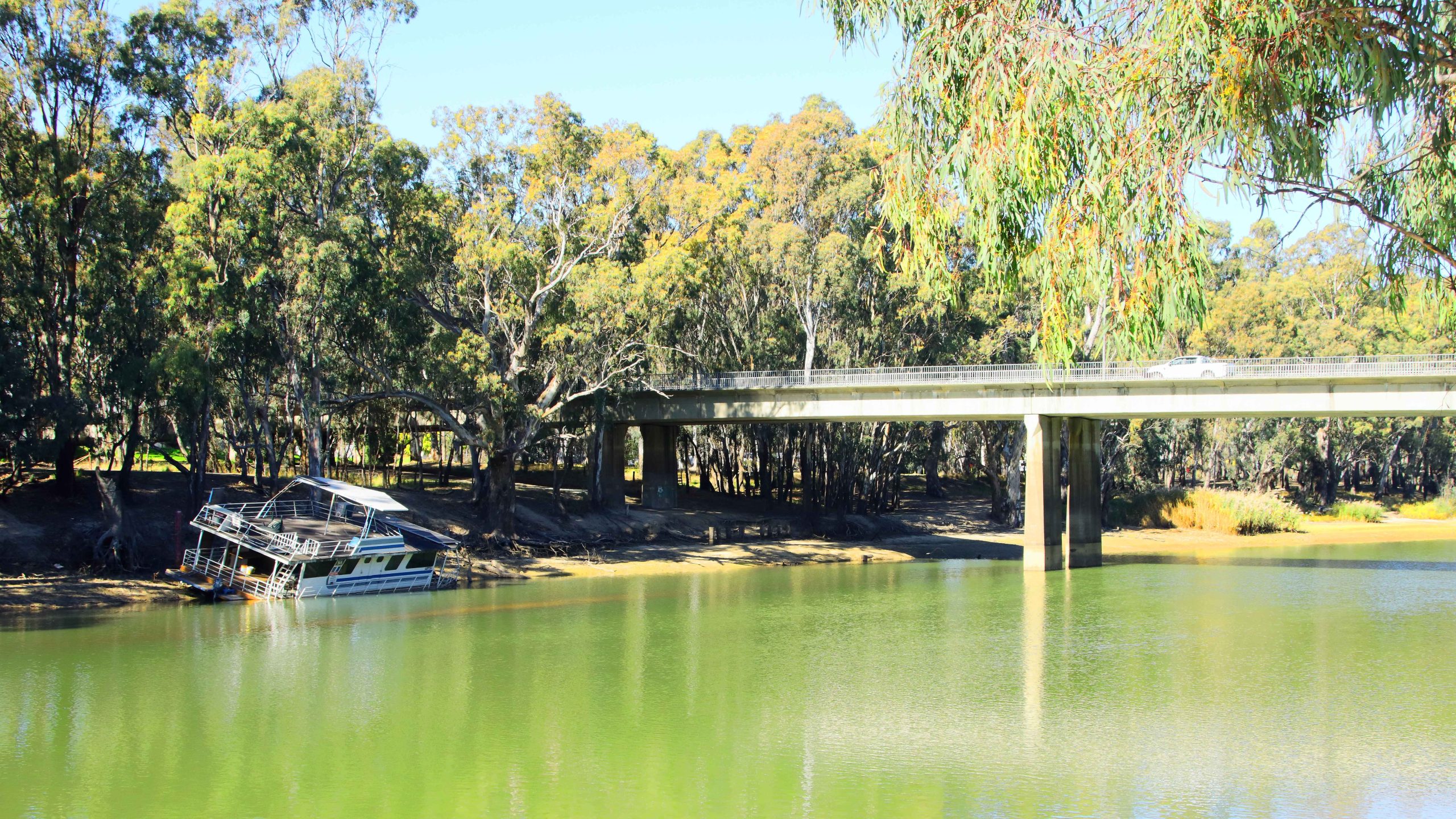
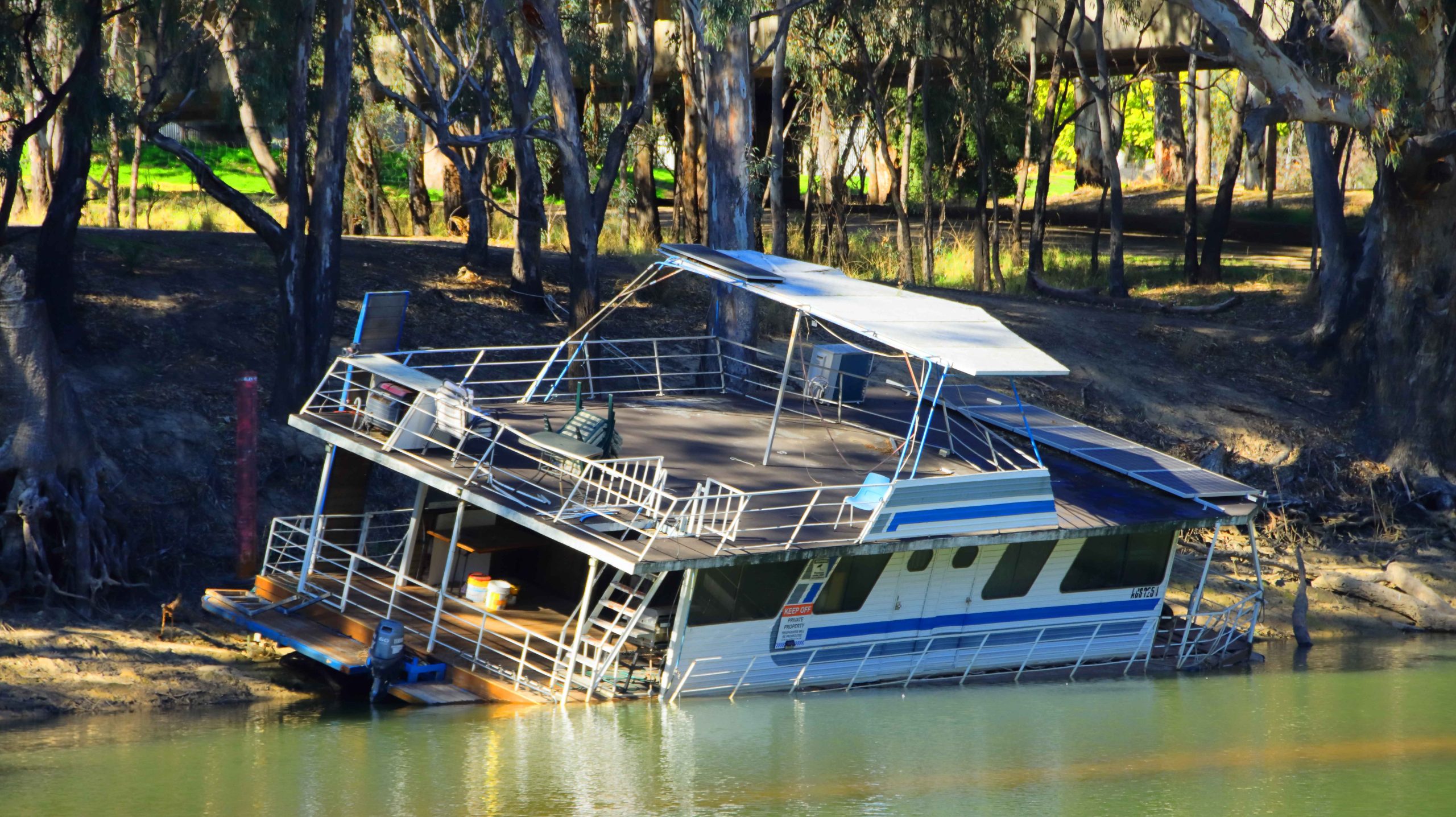
Landing, Edwards River,Deniliquin NSW
Houseboat, Edwards River, Deniliquin NSW
Edwards River, Deniliquin NSW
Bridge on Edwards River, Deniliquin NSW
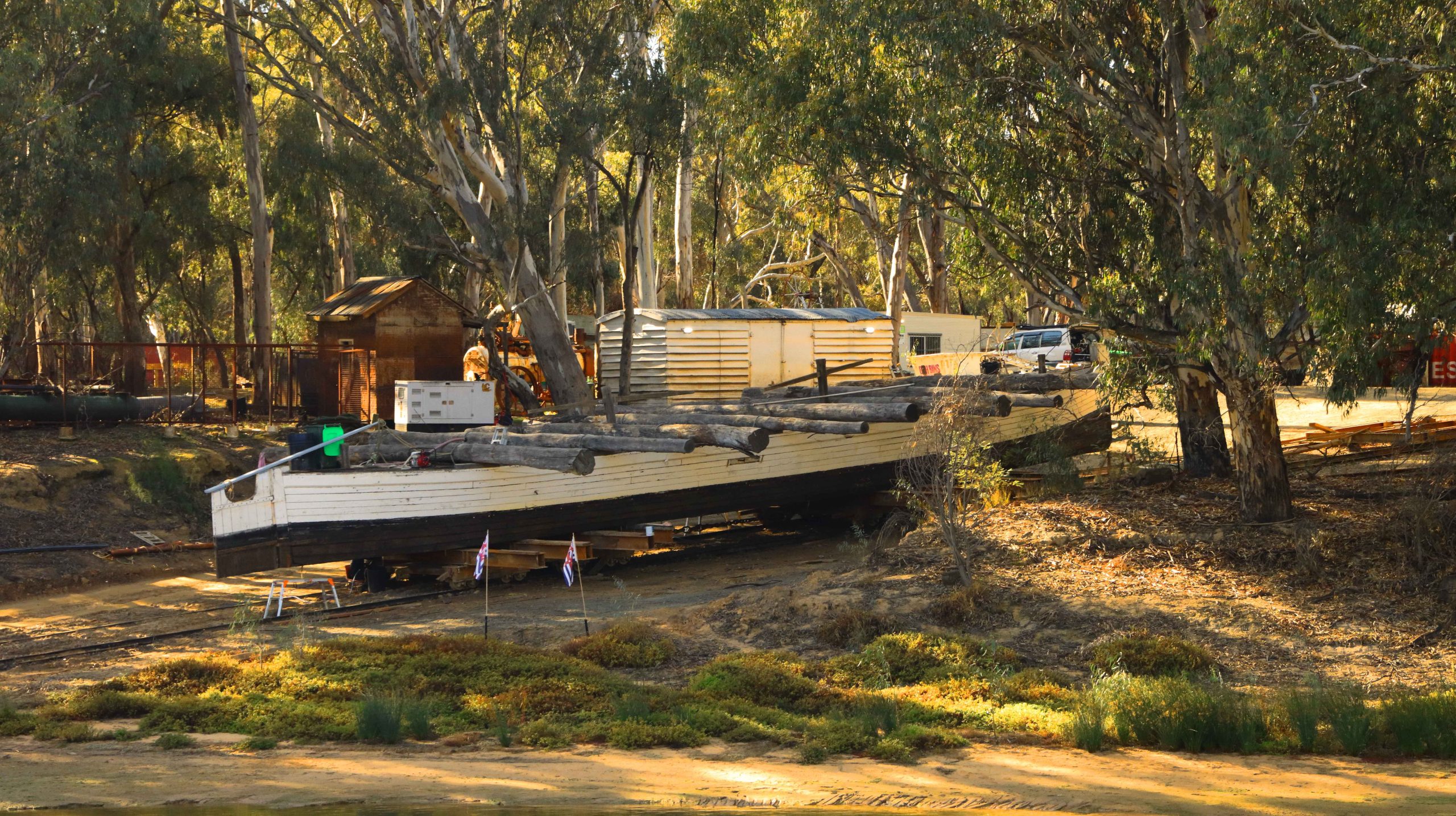
Beached River Boat, Deniliquin NSW
Utility Muster Sign, Deniliquin, NSW
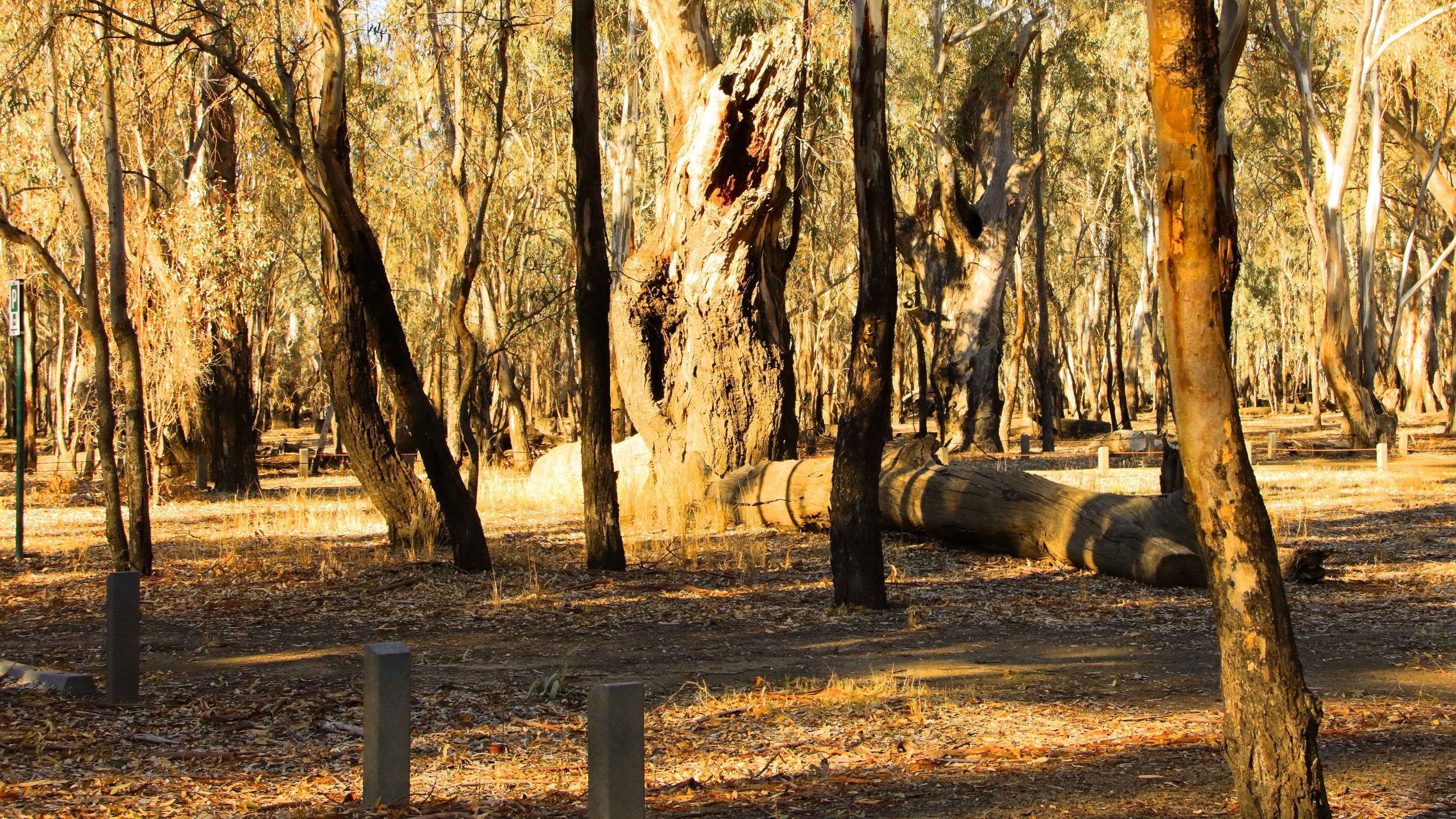
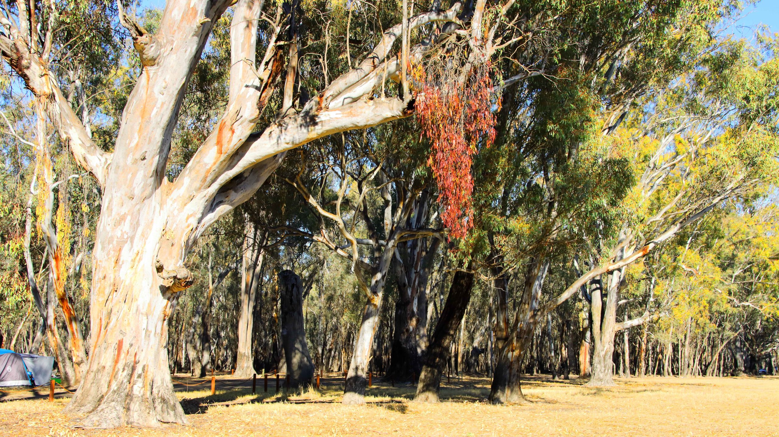
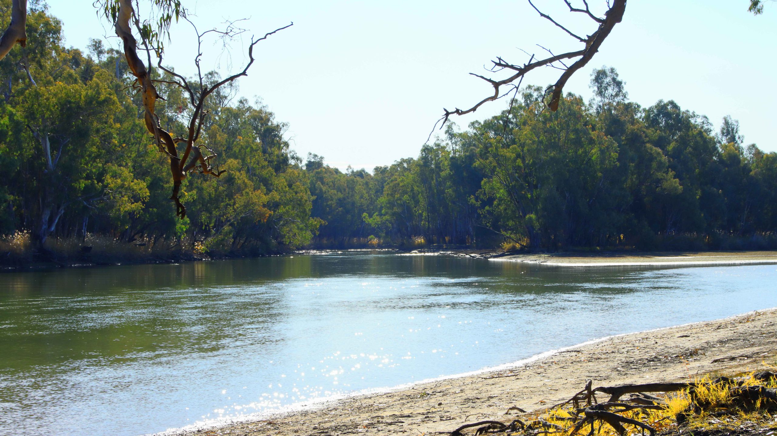
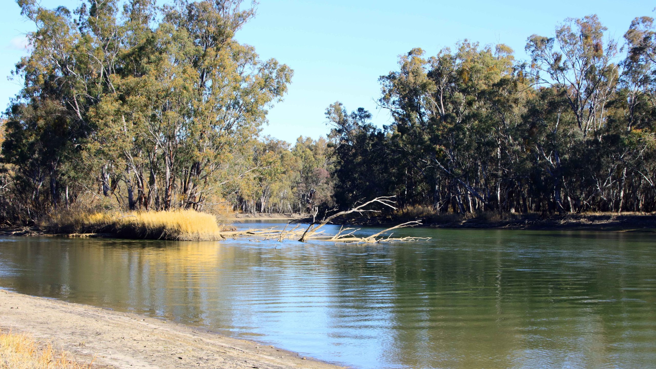
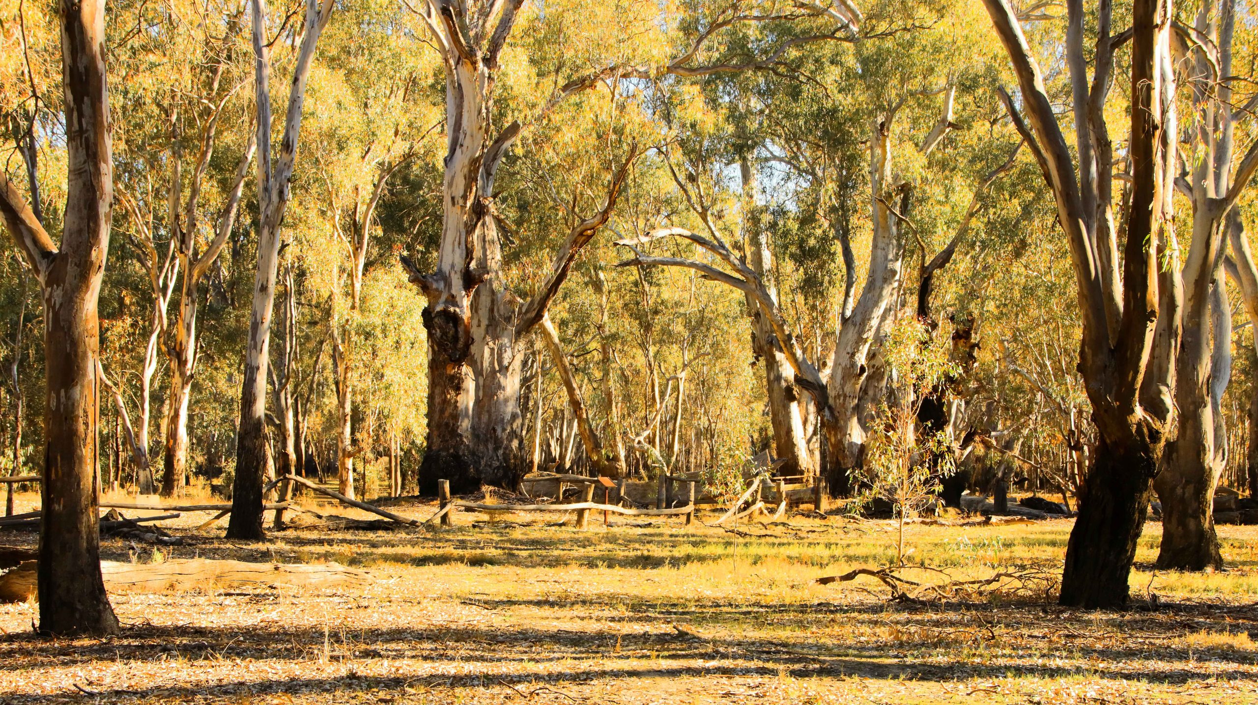
Barmah National Park
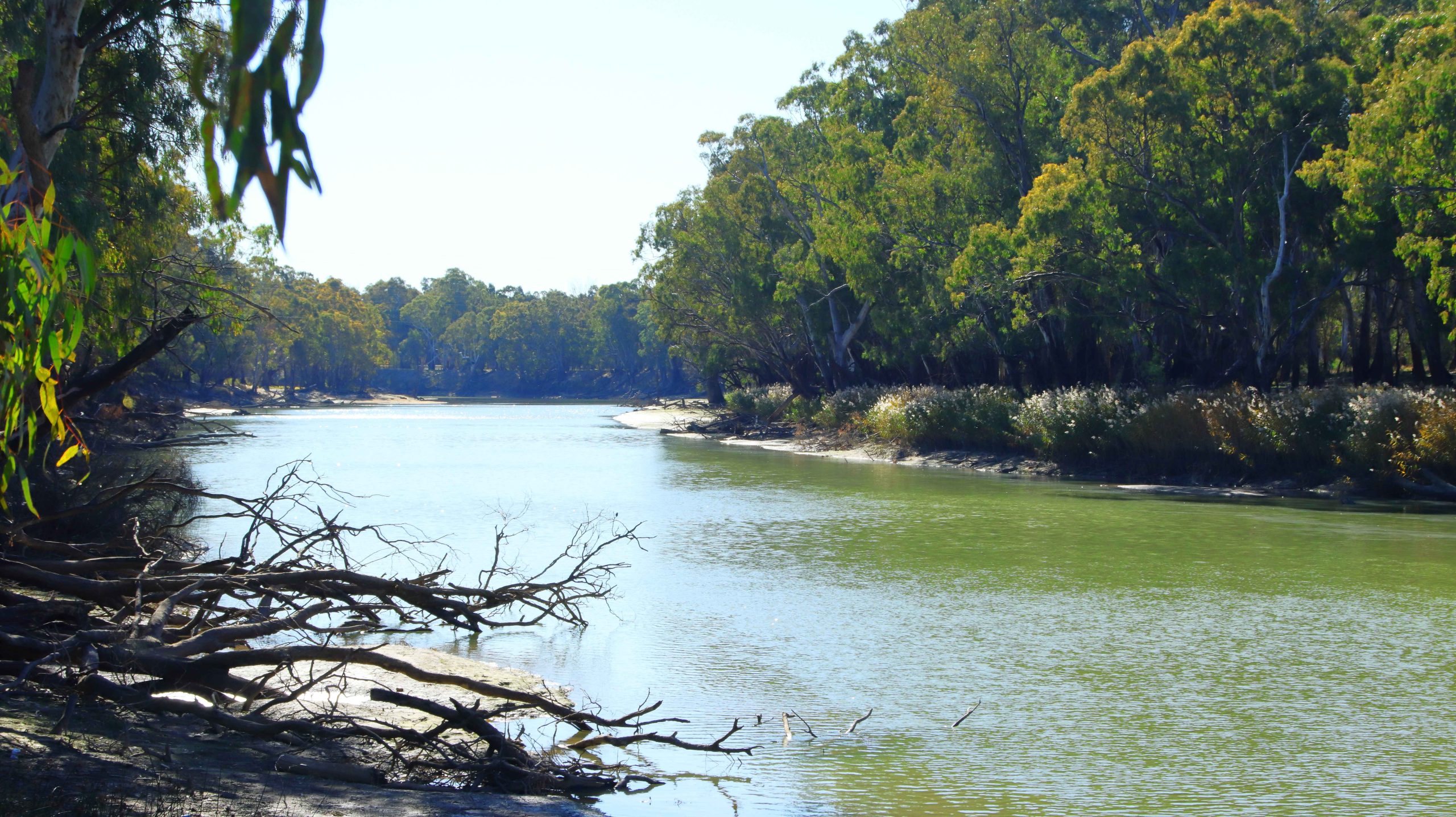
Forest Flood Plains, Barmah National Park, Near Echuca
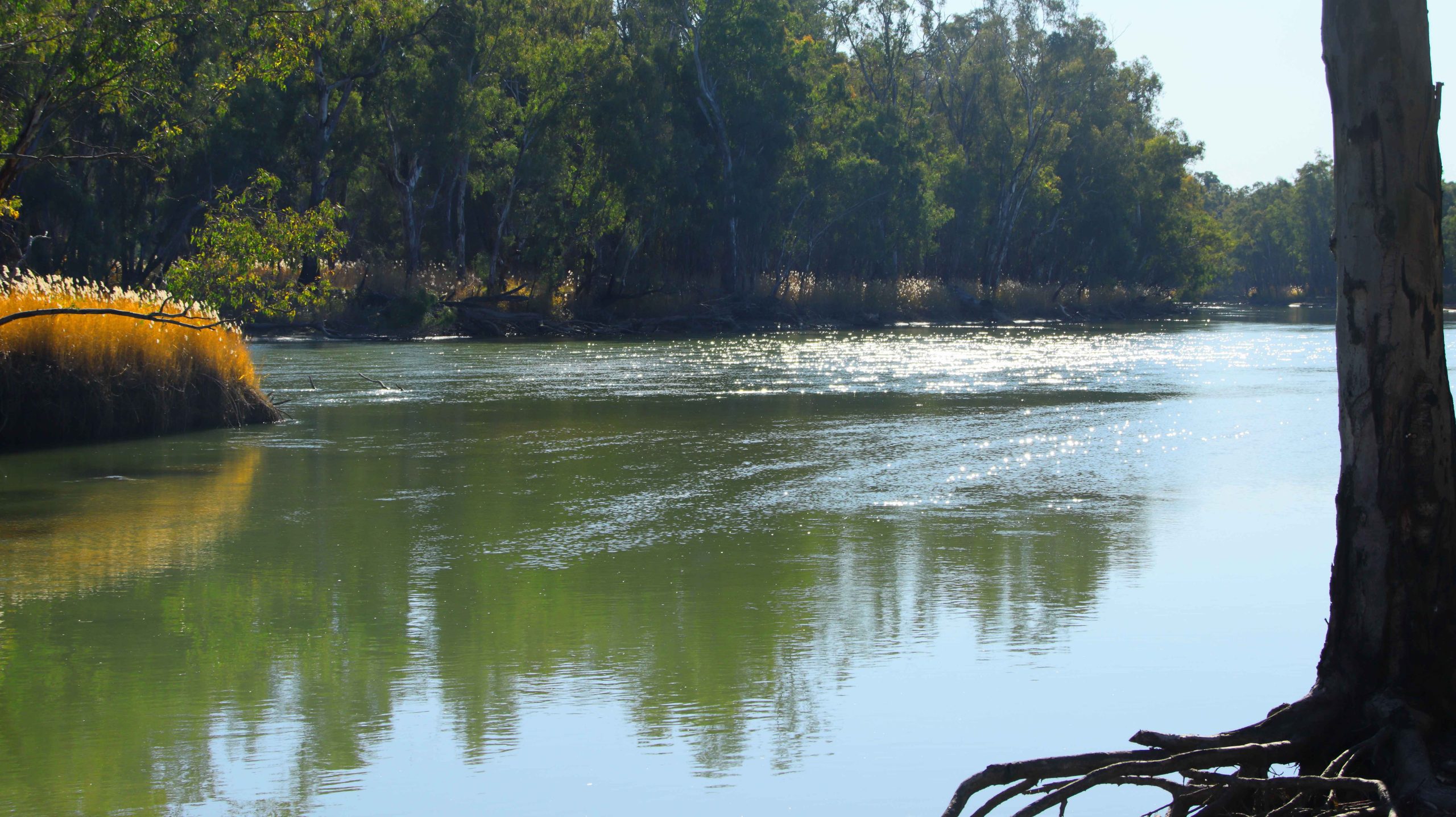
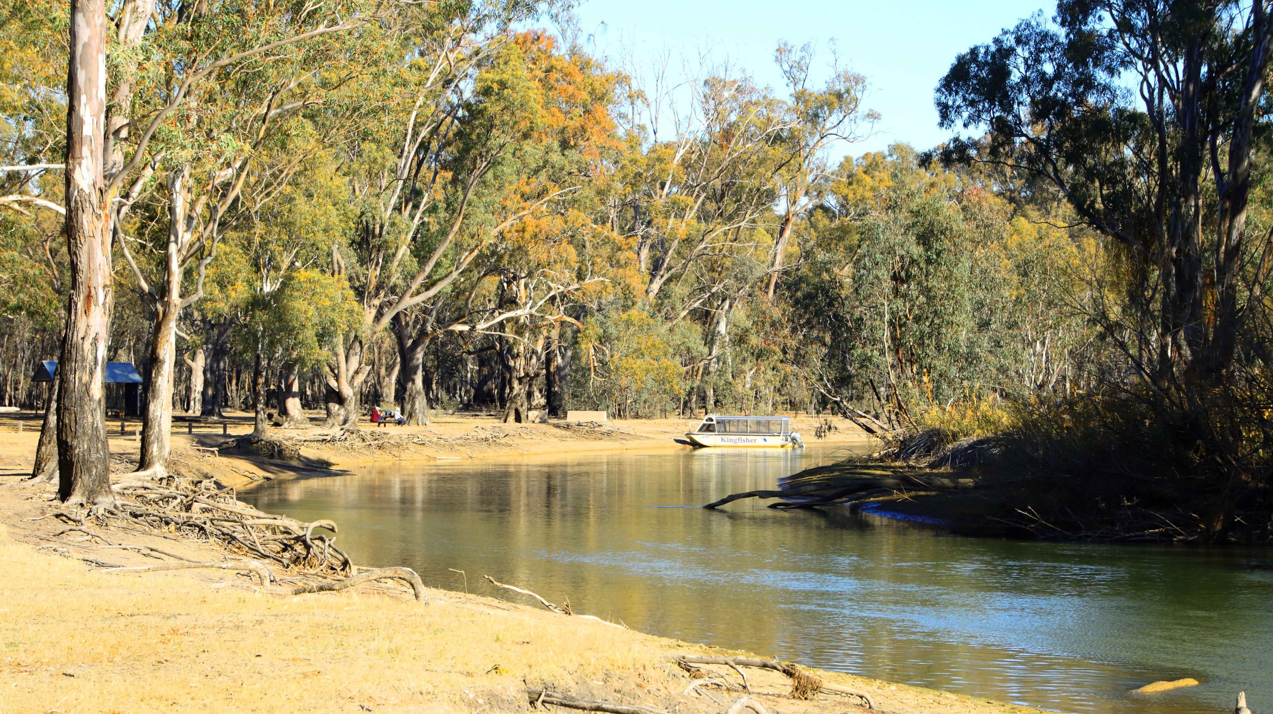
Murray River, Barmah National Park, Near Echuca
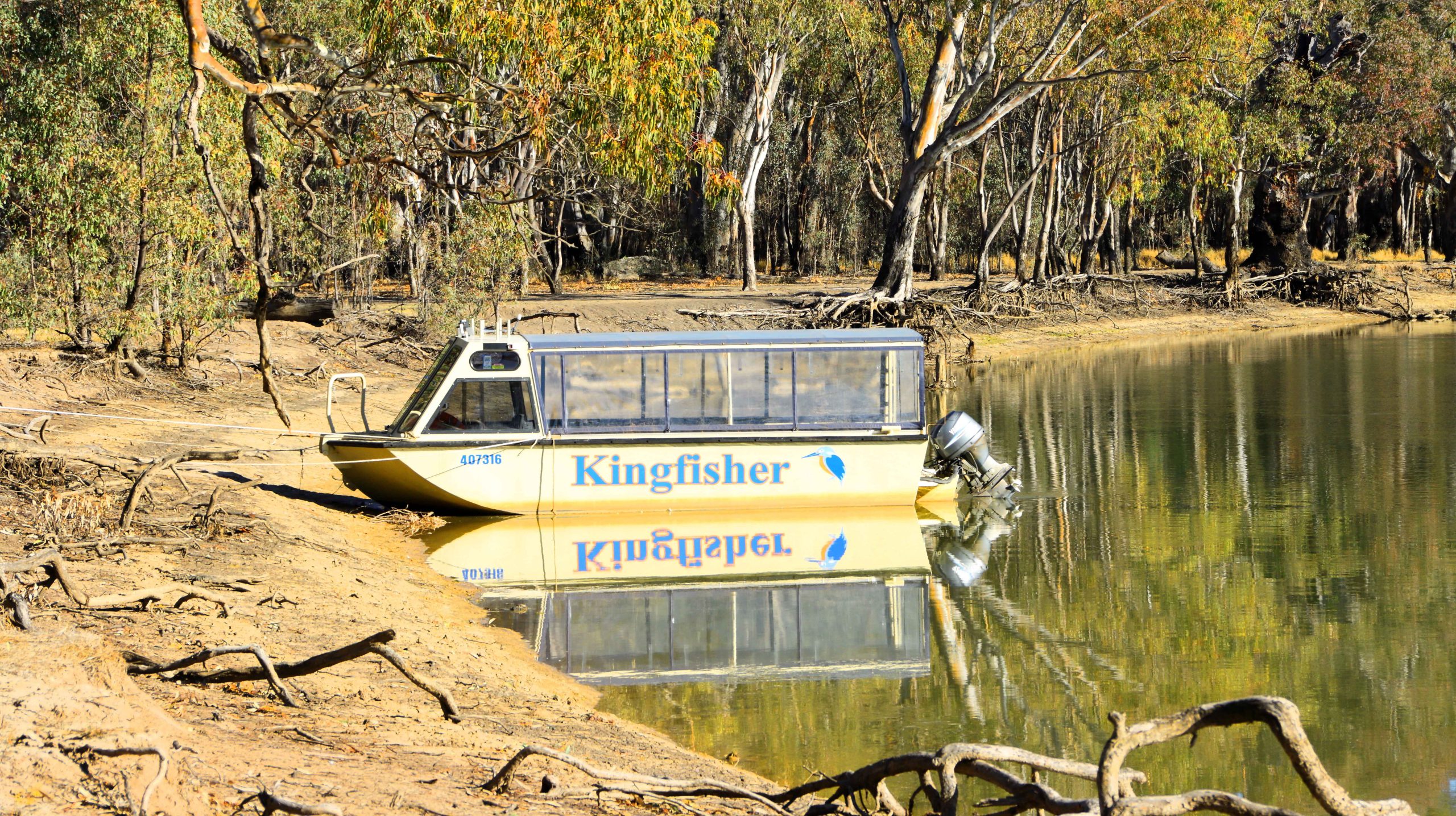
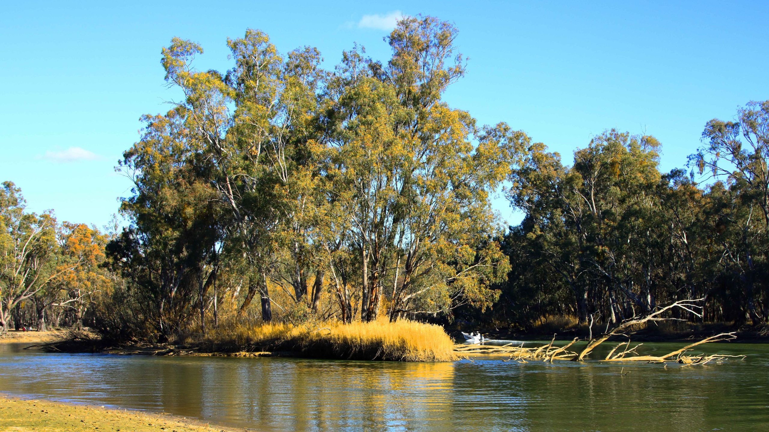
Lake Cruise Boat, Murray River, Barmah National Park, Near Echuca
Lake Cruise Boat, Murray River, Barmah National Park, Near Echuca
Murray River, Barmah National Park, Near Echuca
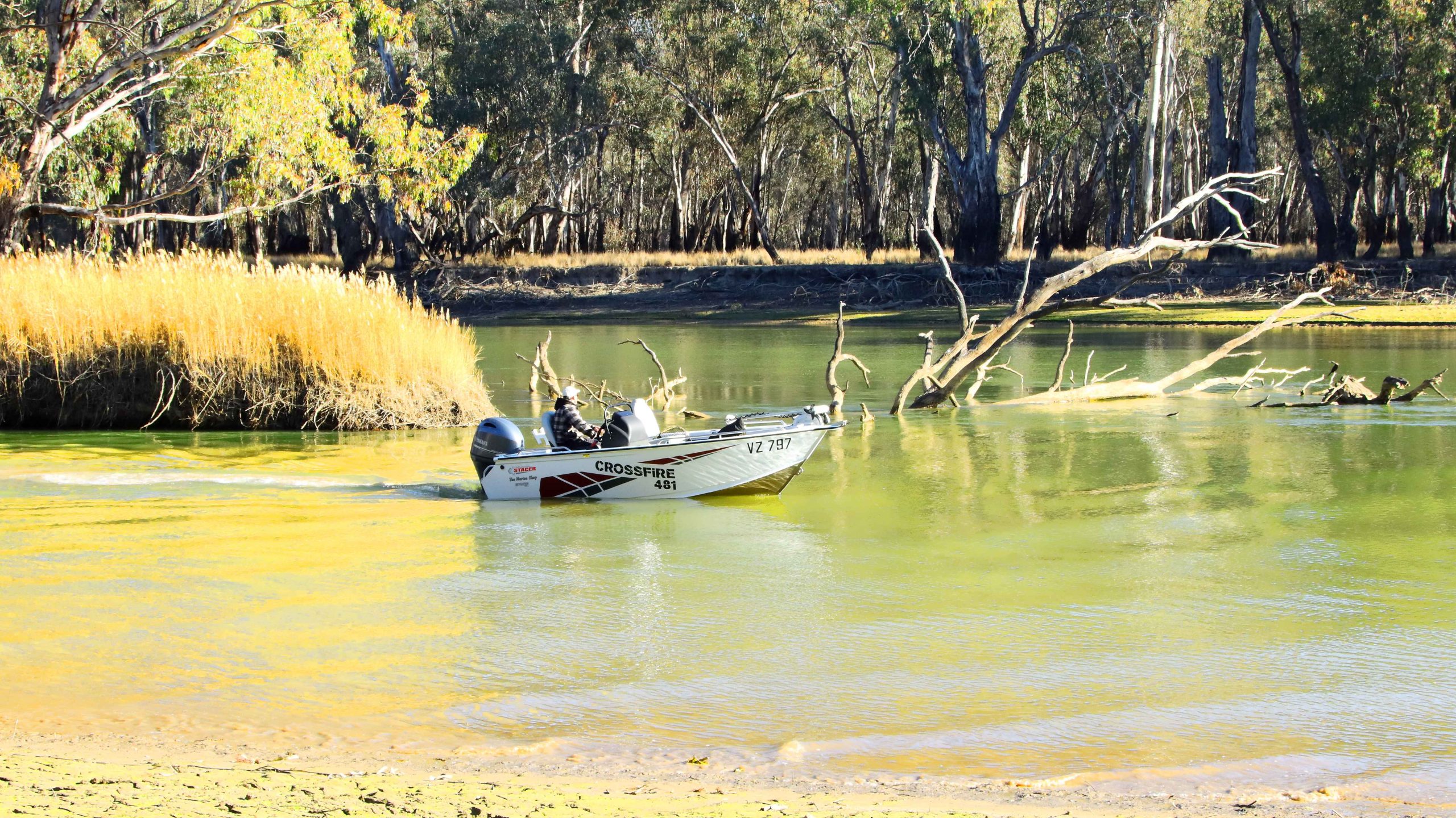
Powerboat Navigating Shallow Water, Murray River, Barmah National Park, Near Echuca
Murray River, Barmah National Park, Near Echuca
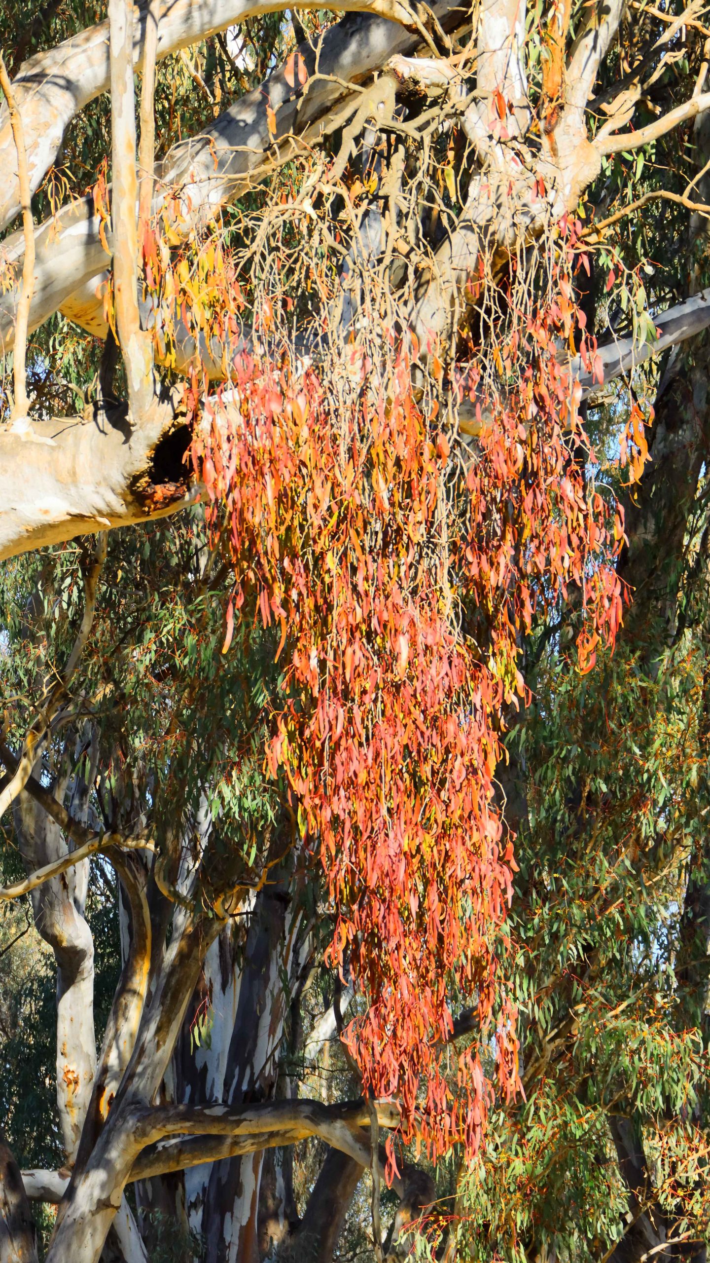
Mistletoe, Murray River, Barmah National Park, Near EchucaMurray River, Barmah National Park, Near Echuca
Mistletoe, Barmah National Park near Echuca
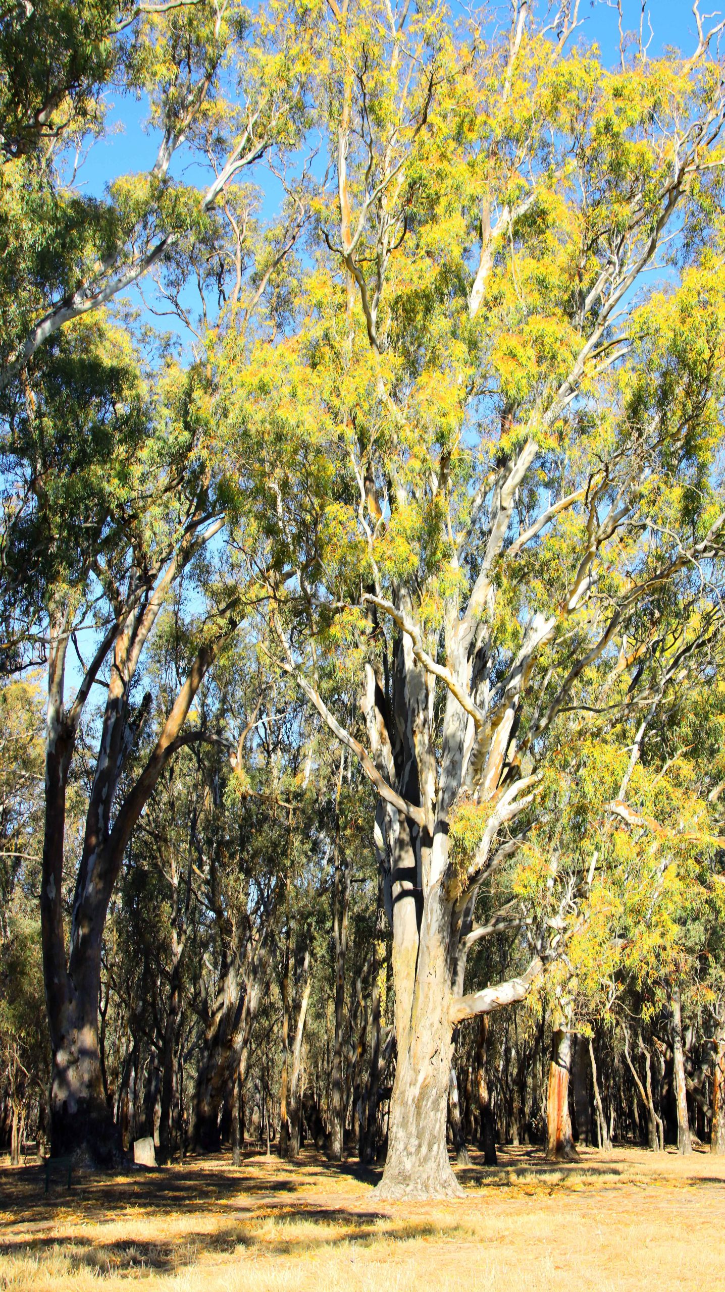
Murray River, Barmah National Park, Near EchucaRiver Red Gums. Barmah National Perk near Echuca,
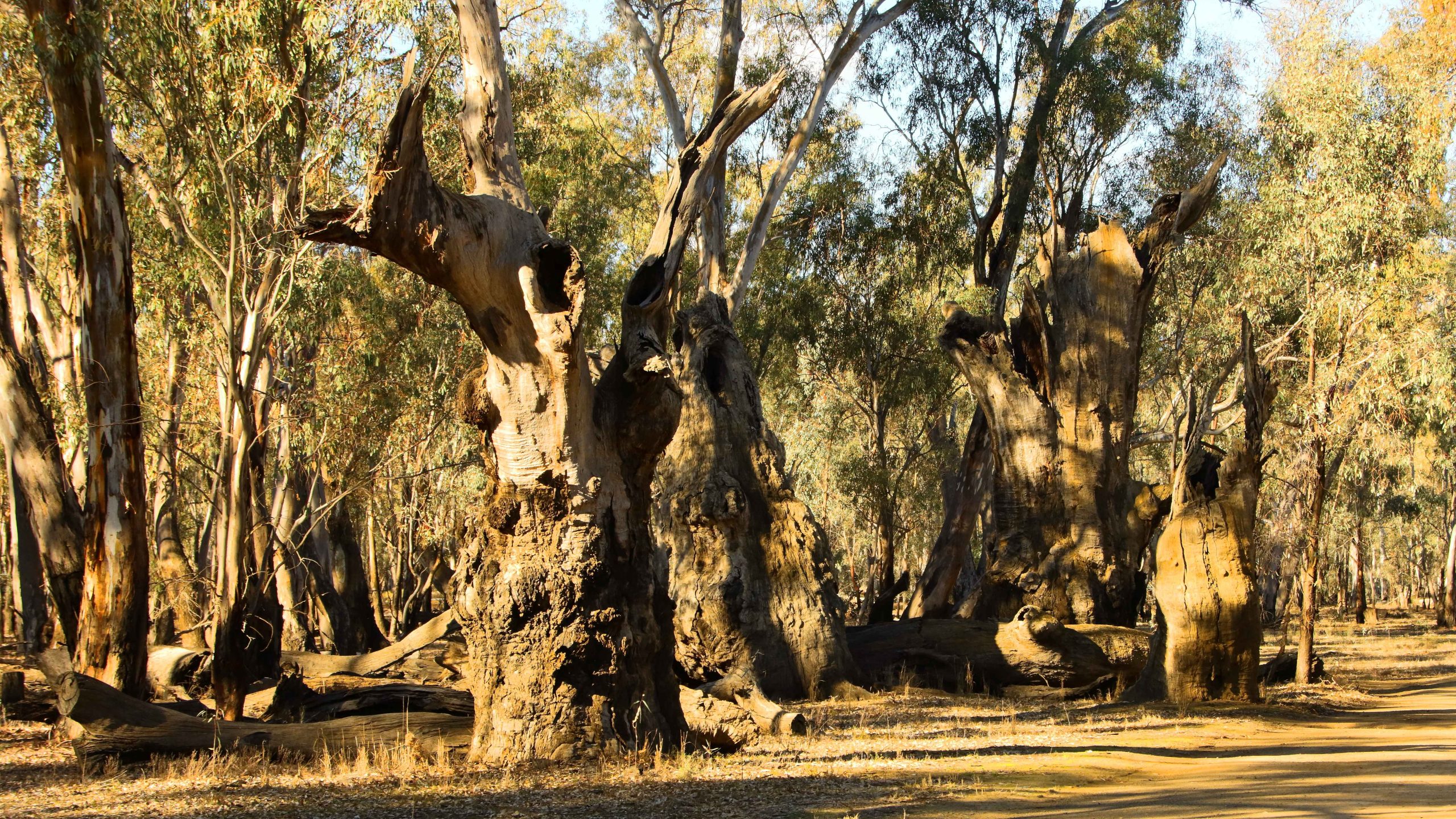
A River Red Gum in the Barmah National Park near Echuca
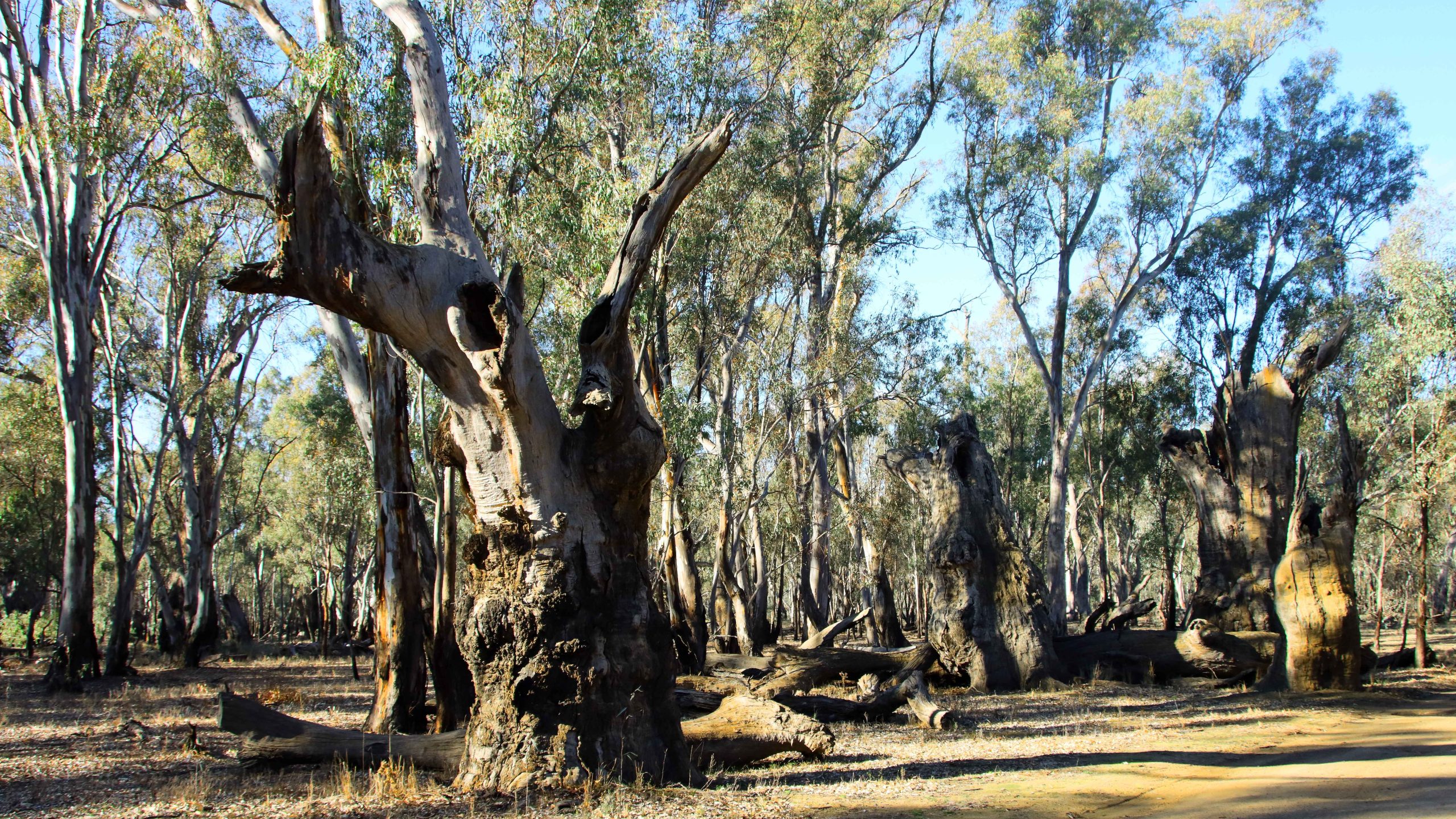
Boat Mooring Area, Barmah National Perk near Echuca,River Red Gum Stumps, Barmah National Perk near Echuca,
River Red Gum, Barmah National Perk near Echuca,
River Flood Plains, Barmah National Perk near Echuca,River Red Gum Stumps, Barmah National Perk near Echuca,
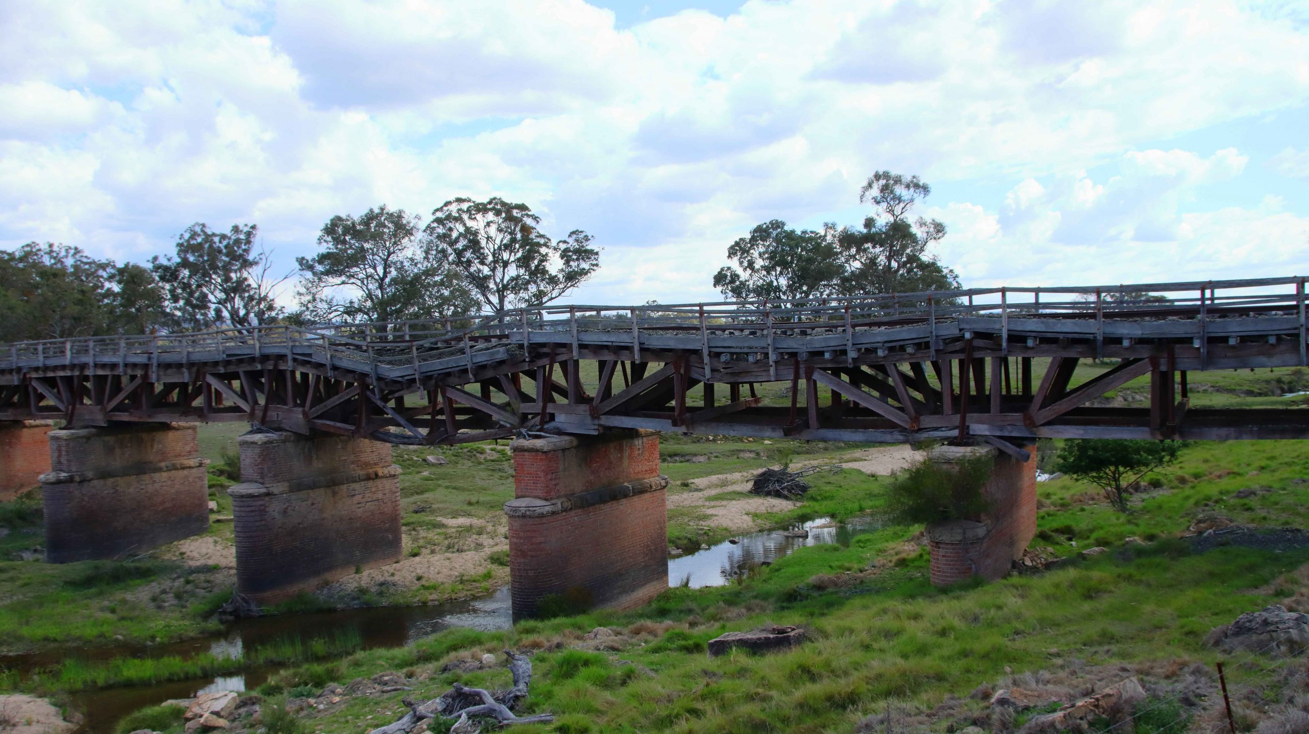
The ruined bridge on the old railway over Tenterfield Creek. Northern NSW.
About six months ago Ruth and I received an invitation from a couple who have been close friends for sixty years, to attend Thelma’s eightieth birthday party. We first knew Thelma and Joe in Melbourne. We have now been in Brisbane for about forty years. About five years ago they abandoned cold Melbourne for sunny Ballina, on the north coast of New South Wales. We had noted at the time of the invitation that the trip to Ballina might just be extended to further south.
My remaining siblings in West Gippsland, Victoria made contact more recently, to remind Ruth and I of our agreement to meet them halfway every so often, suggesting that it was about time that we did it again. So, after taking time constraints into account, we agreed to meet in the Blue Mountains for the first four days in the first week of November. This resulted in the planning of a trip that would put us in touch with most of our relative who live in and around Sydney as well as the Victorian siblings.
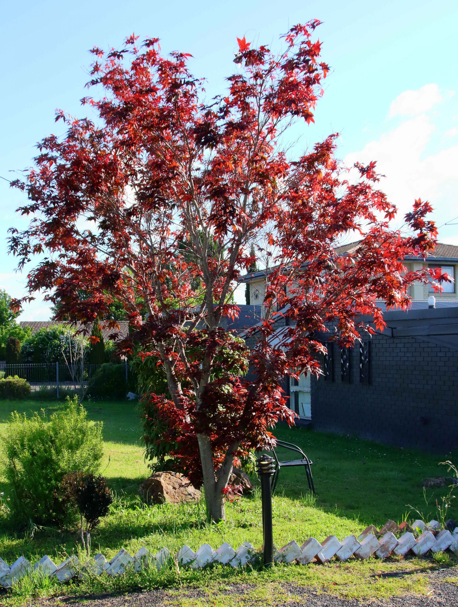
Is this a Japanese Maple? It looked very pretty in the afternoon light.
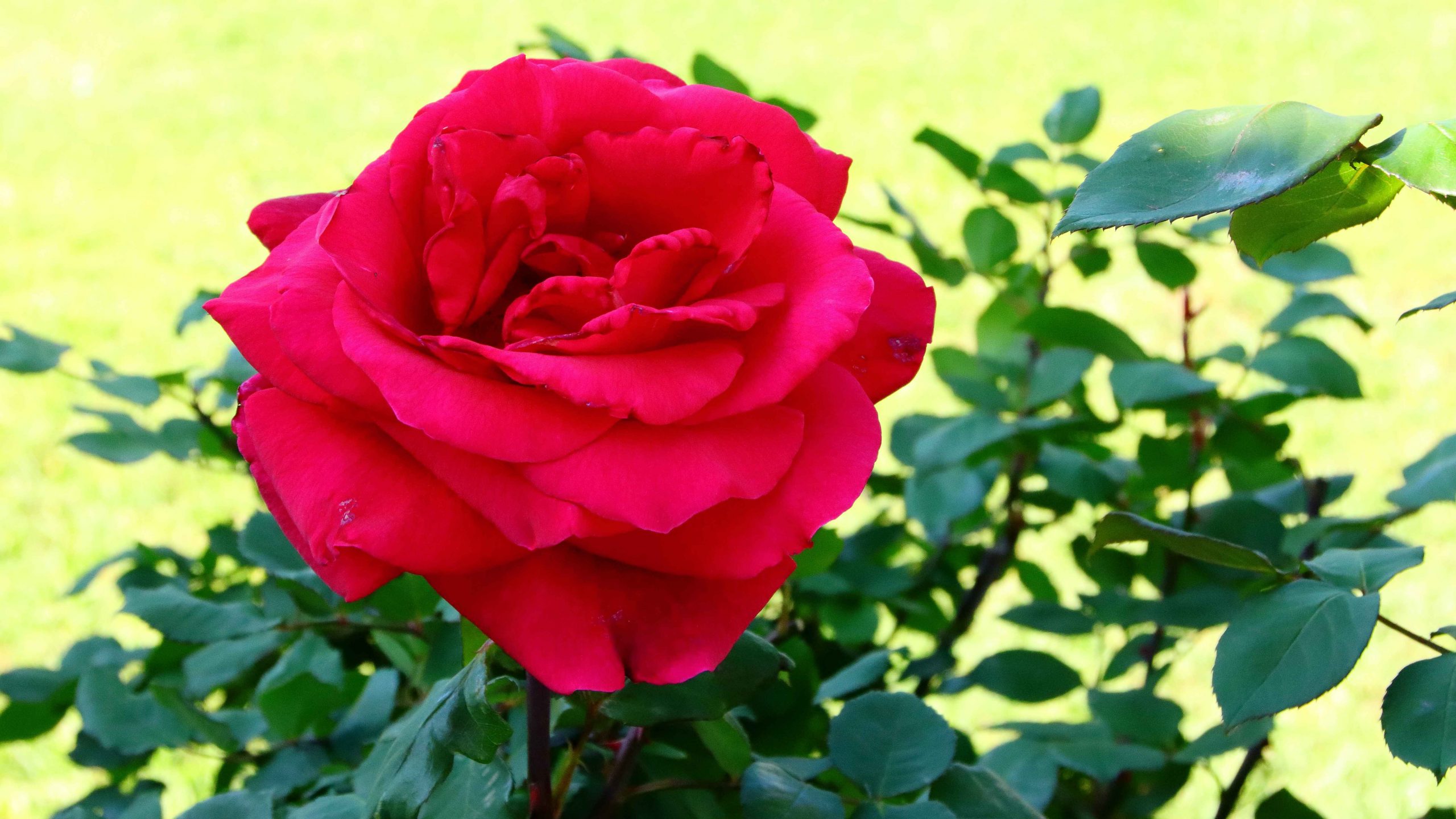
A footpath side rose, one of many in this garden
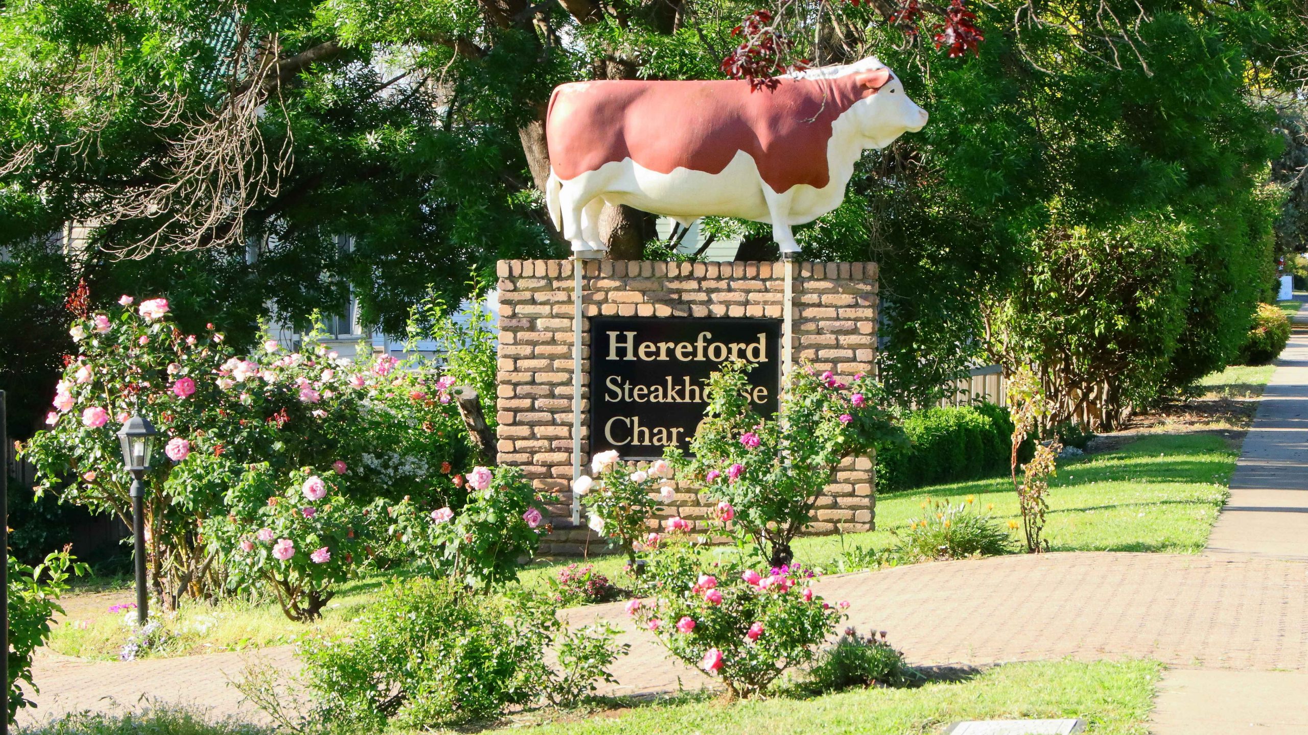
The statue of a bull has stood outside the steakhouse for many years.
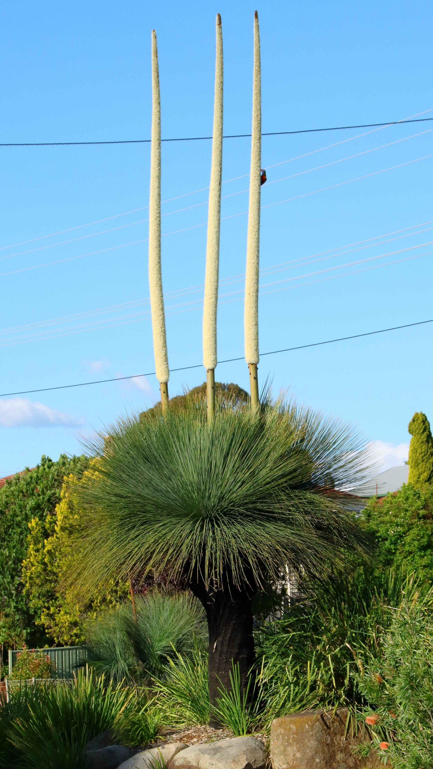
A Grass Tree in the highway media strip.
We departed Redcliffe on Tuesday 29th October with Glen Innes as our first overnight stop. As we have aged, we eat less, so normally buy a small evening meal that can be heated in a microwave and eaten in our room. Before eating, I normally go for a walk to maintain my thee million steps per year regime. It was a pleasant walk along the edge of the New England Highway. As is usual, my camera and walkabout lens accompanied me.
On Wednesday morning, instead of proceeding south to Armidale and Tamworth, we turned west to Inverell and towards the highway now known as Fossickers Way. Initially we turned south to Copeton Dam on the Gwyder River. The dam was a construction project with which I had an association. A transport company for which I had worked back in the day, had been involved in transporting construction materials to the dam construction site.
My employer had purchased a Guyra based transport company to help balance freight volumes between Sydney and Brisbane. There is no money in running empty trucks around the country. The Guyra operation had the contract to transport asbestos from the Woods Reef mine near Barraba. During that period I had spent part of almost every week in the New England area, merging the accounts and systems of the Guyra company into its new parent company’s systems. Given what subsequently happened to the asbestos industry, I was interested to return after about fifty years, to see what remained.
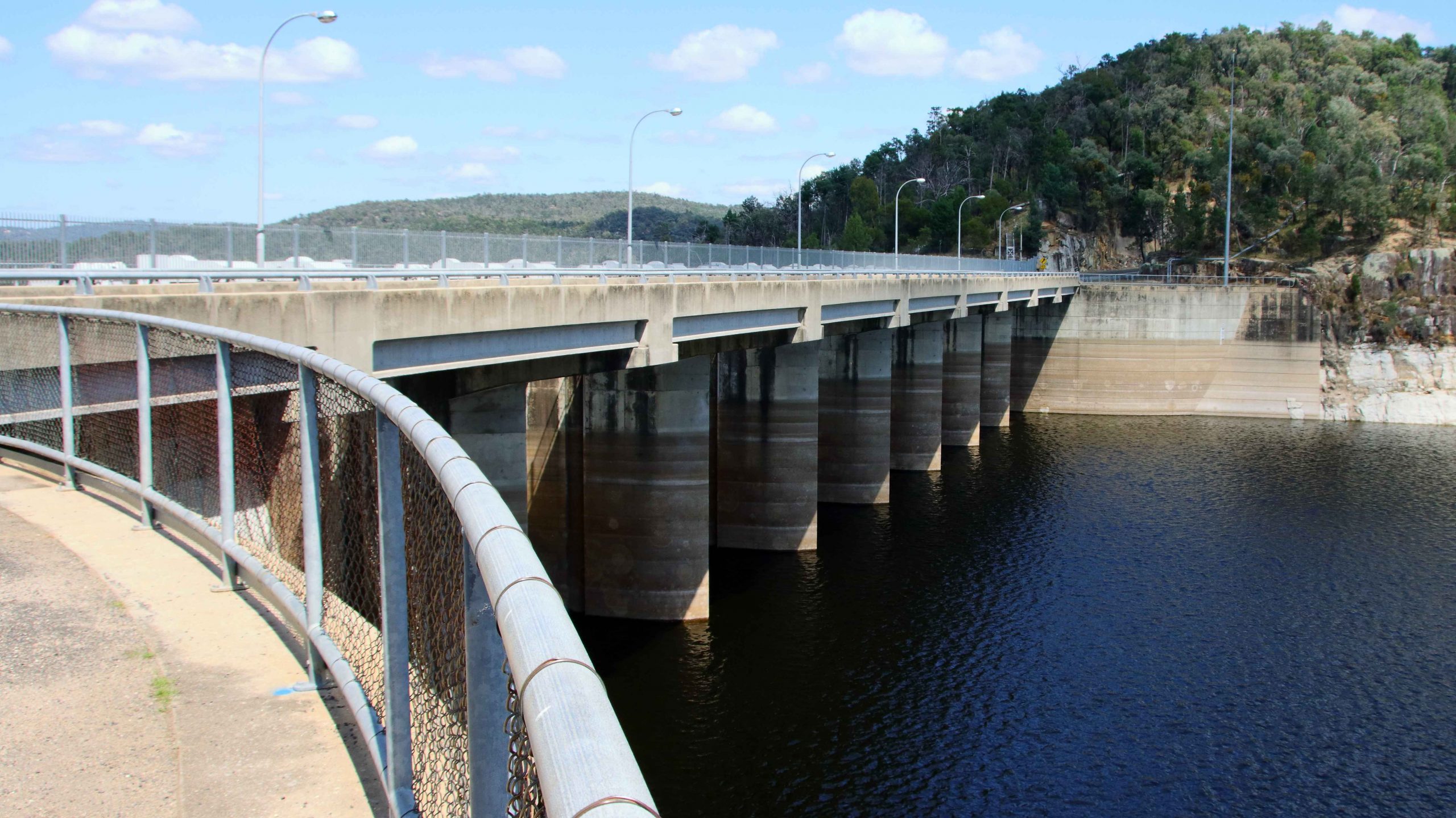
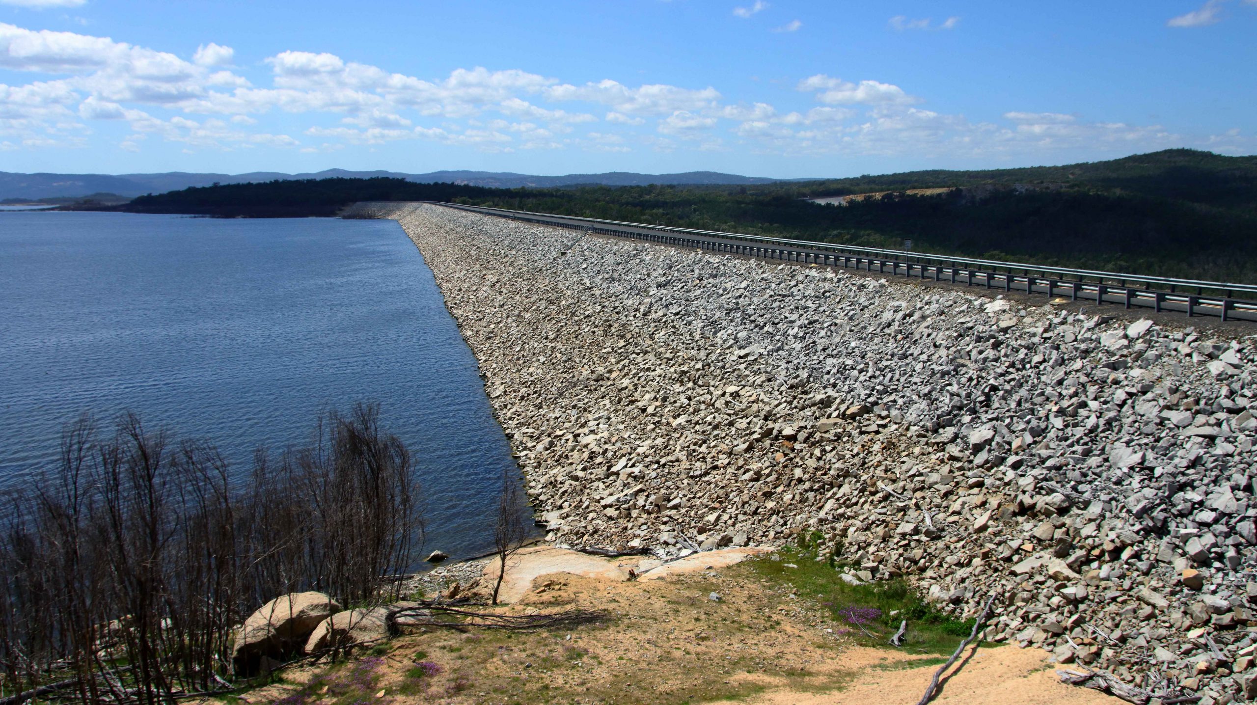
The main dam structure at Copeton.
A saddle wall over the adjoining stream greatly increases the capacity of the dam.
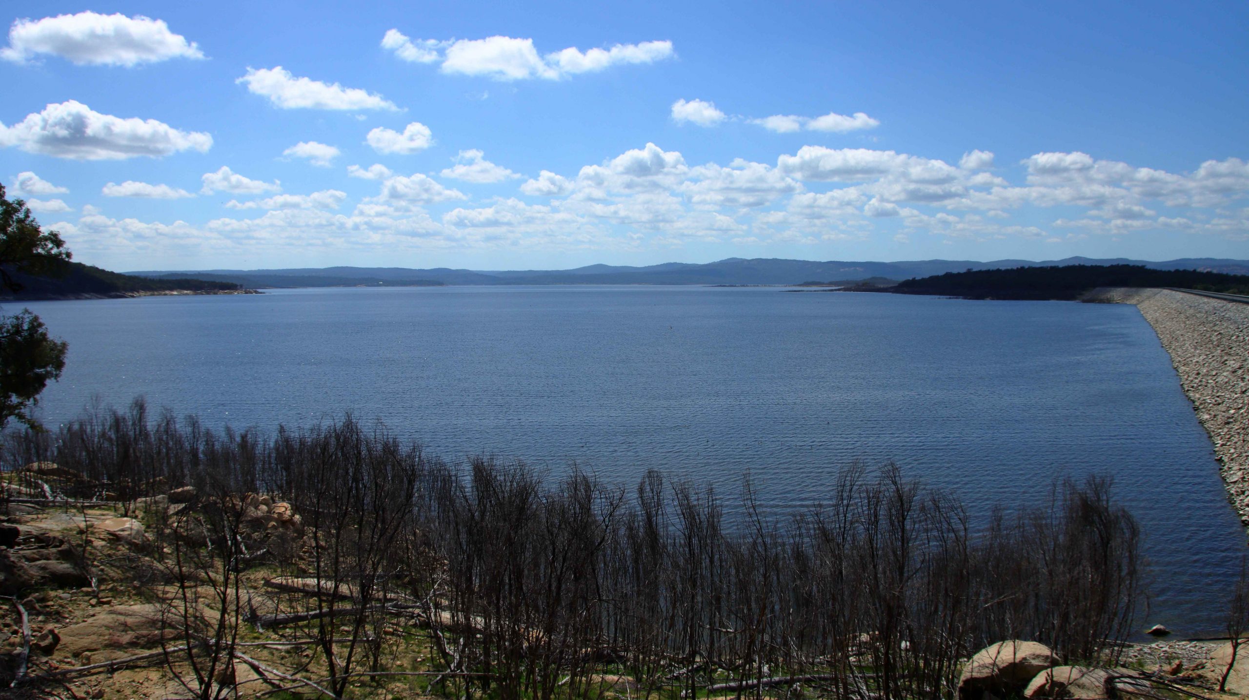
A view over the waters of Copeton Dam.
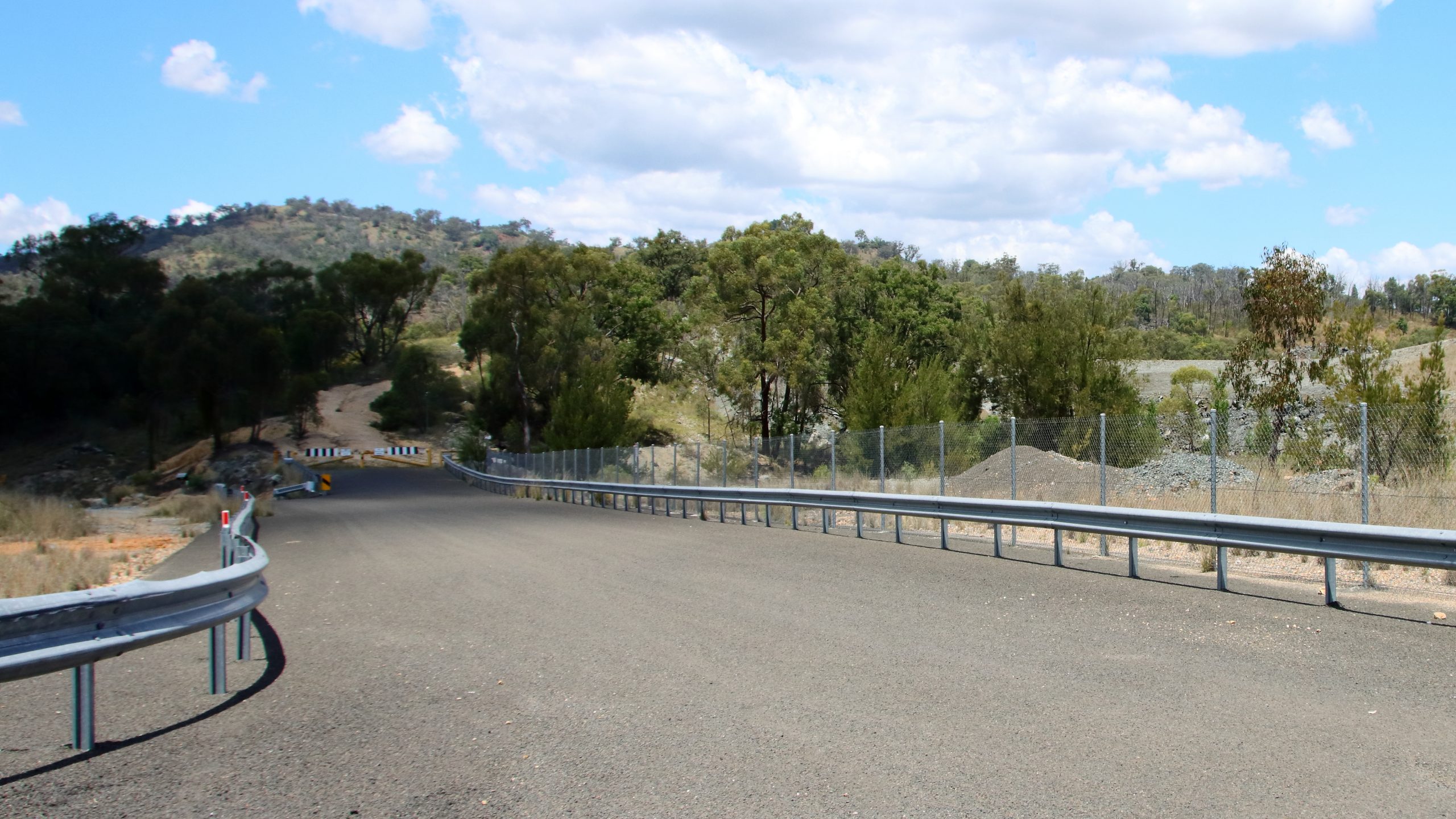
Access to Copeton Dam is not as I remembered it. An easily accessed caravan park that I recalled on the shores of the dam is now behind a steel security fence. I am not sure if it was open, as there did not seem to be much activity. We drove on to Bingara for a coffee break. Our previous call at this attractive town was probably ten years ago. Bingara is also on the Gwyder River.
The barricaded entrance to the old asbestos mine
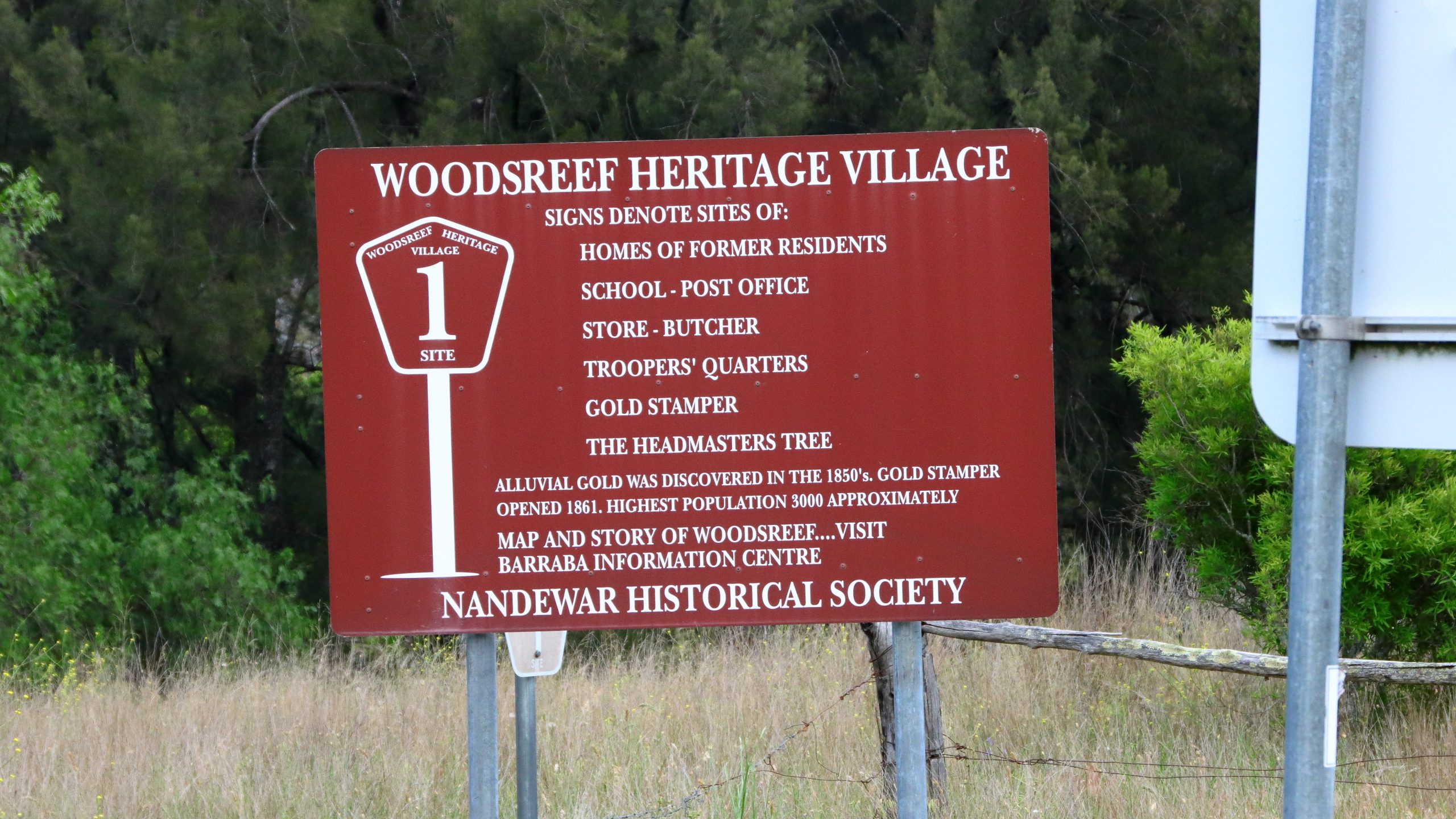
The turn off Fossickers Way onto Woods Reef Road is a couple of kilometres north of Barraba. The location of the now non-existent town of Woods Reef and the mine, is around 17 kilometres from Fossickers Way. The huge scar across a hillside came as a surprise. I had only visited the mine sight once in 1977 and mining continued for another nine years after that.
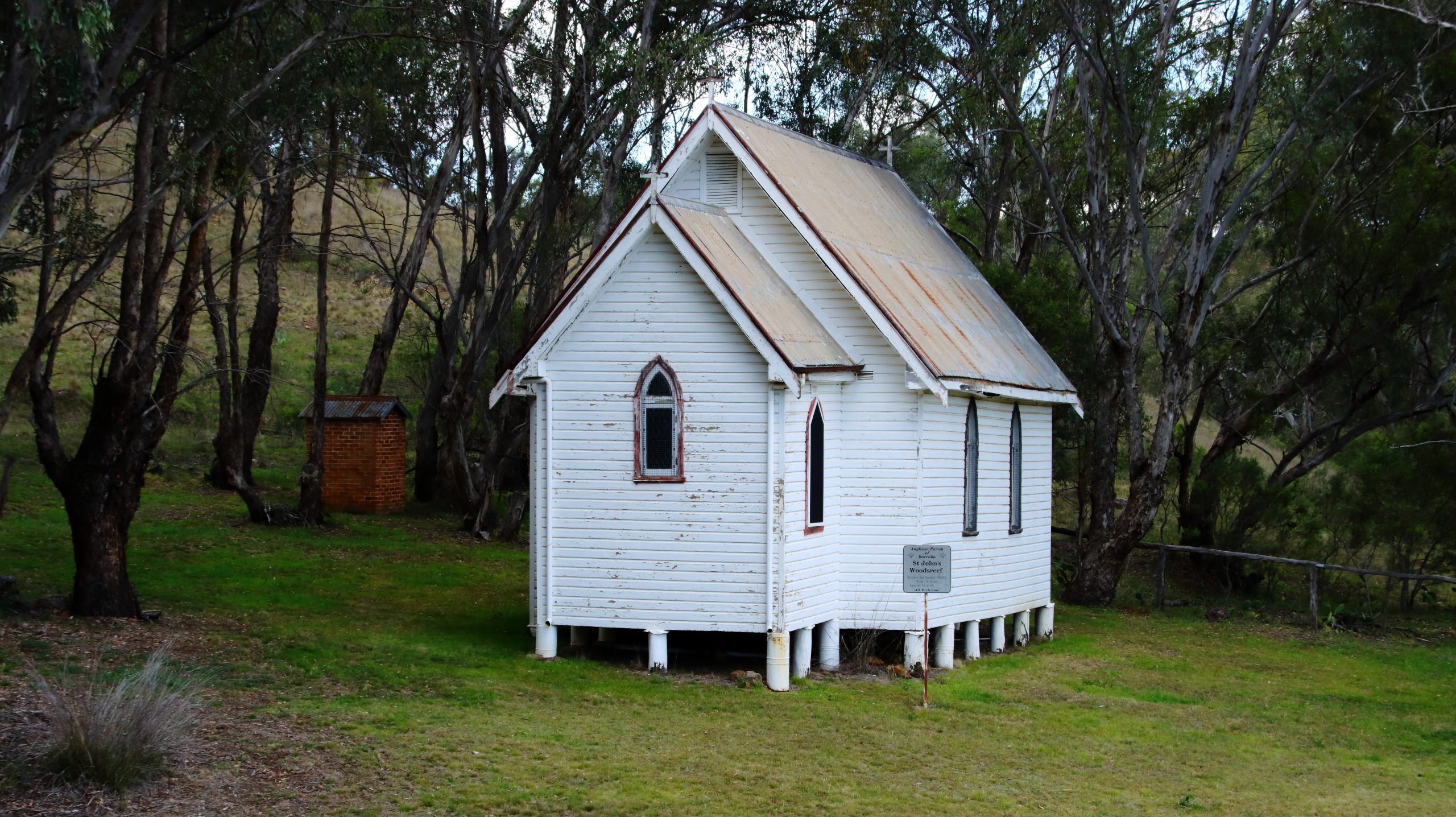
St Luke’s Anglican Church is all that remains of the town of Woods Reef.
What I didn’t know until we visited the site was that Woods Reef had formally been a gold mining town. Gold was discovered in the late 1850s and a fully functioning village sprung up with the required support facilities. At its peak there were about 3,000 residents. But gold ran out in the late 1860s and the village disappeared. At some later time, a historical trail was established. It may still have been accessible at the time of my visit, but the asbestos scare would have killed it stone dead. But signs and a locked gate remain. So does St Locke’s Anglican Church which clearly has had more recent use.
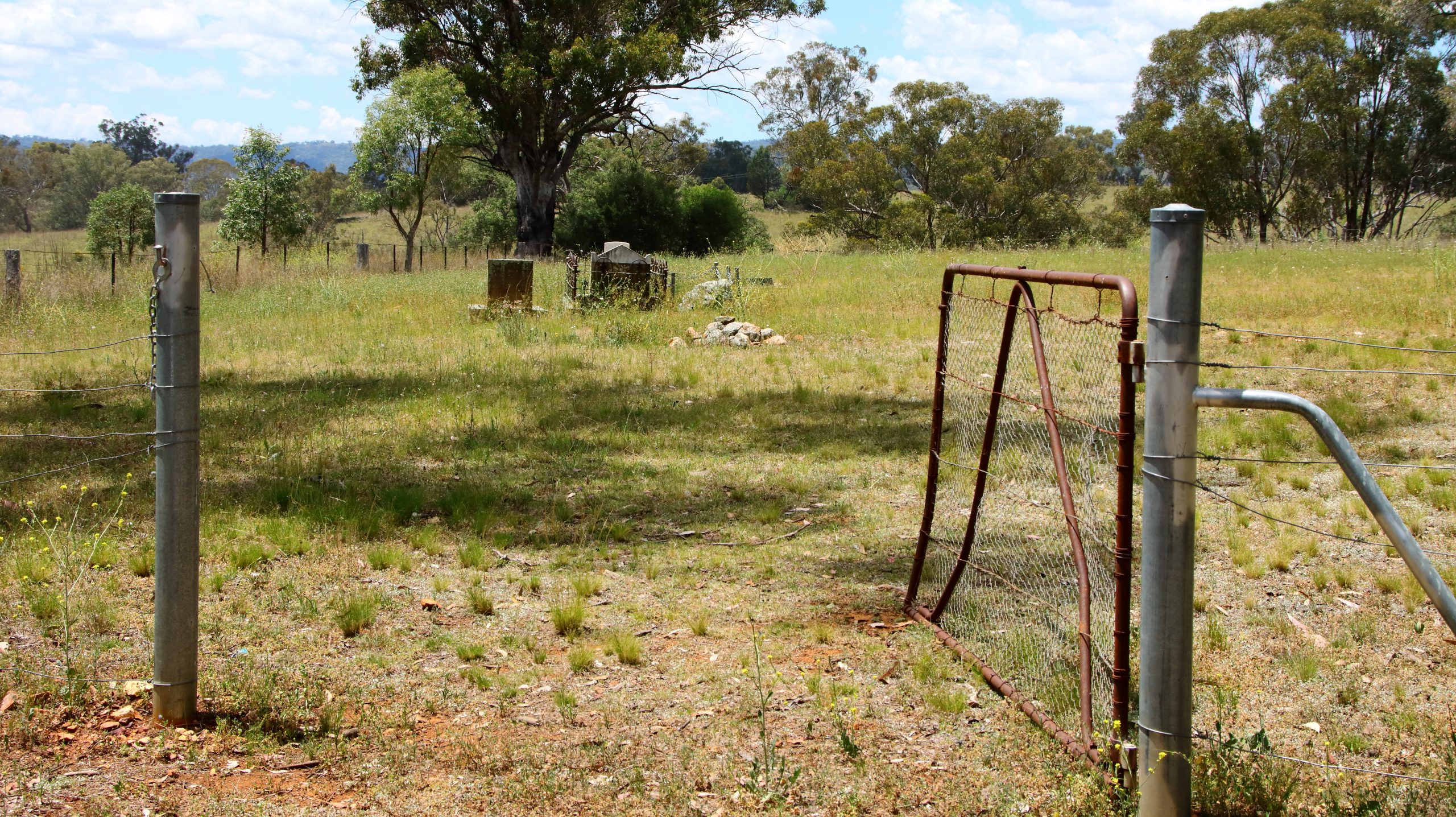
We drove into the historic cemetery and photographed some isolated graves. The gate was open, as if expecting visitors or a funeral.
OPen cemetery gates
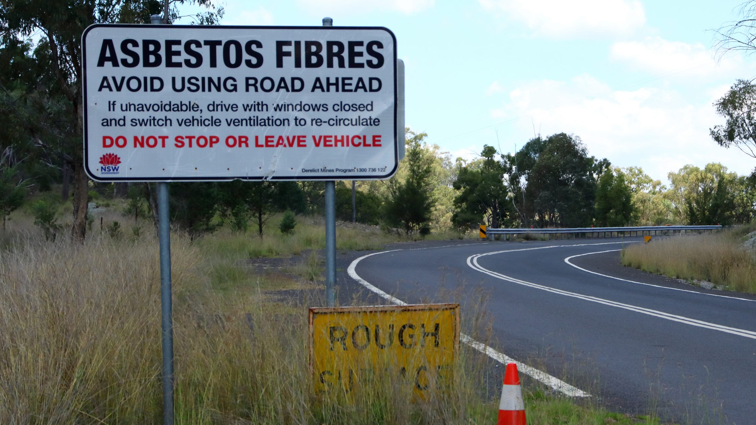
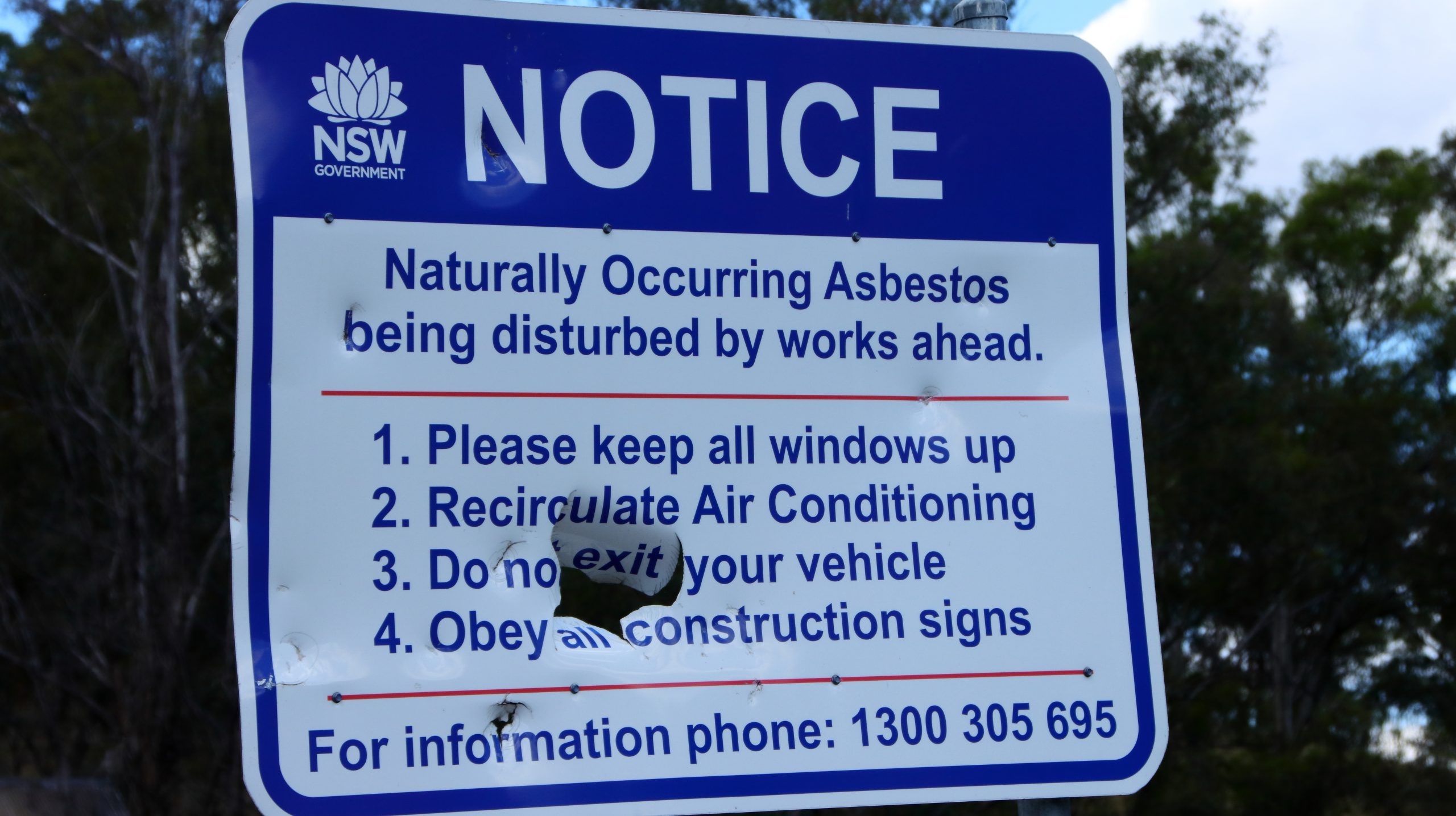
The mine is fenced and the access roads obstructed with piles of dirt. Warning signs have been placed beside the road but are now showing signs of weathering and other damage.
Roadside asbestosis warning sign.
The sign appears to have been a target for someone.
A sign remaining from the days of walking tours through the old village.
We stopped for lunch in Barraba. I remember hearing about a verbal altercation between a local farmer and a mine manager. The farmer was objecting to the mine activity. The mine manager told him that but for the mine tumble weed world be blowing down the main street. There was no sign of tumble weed but, Barraba is now a very sleepy town.
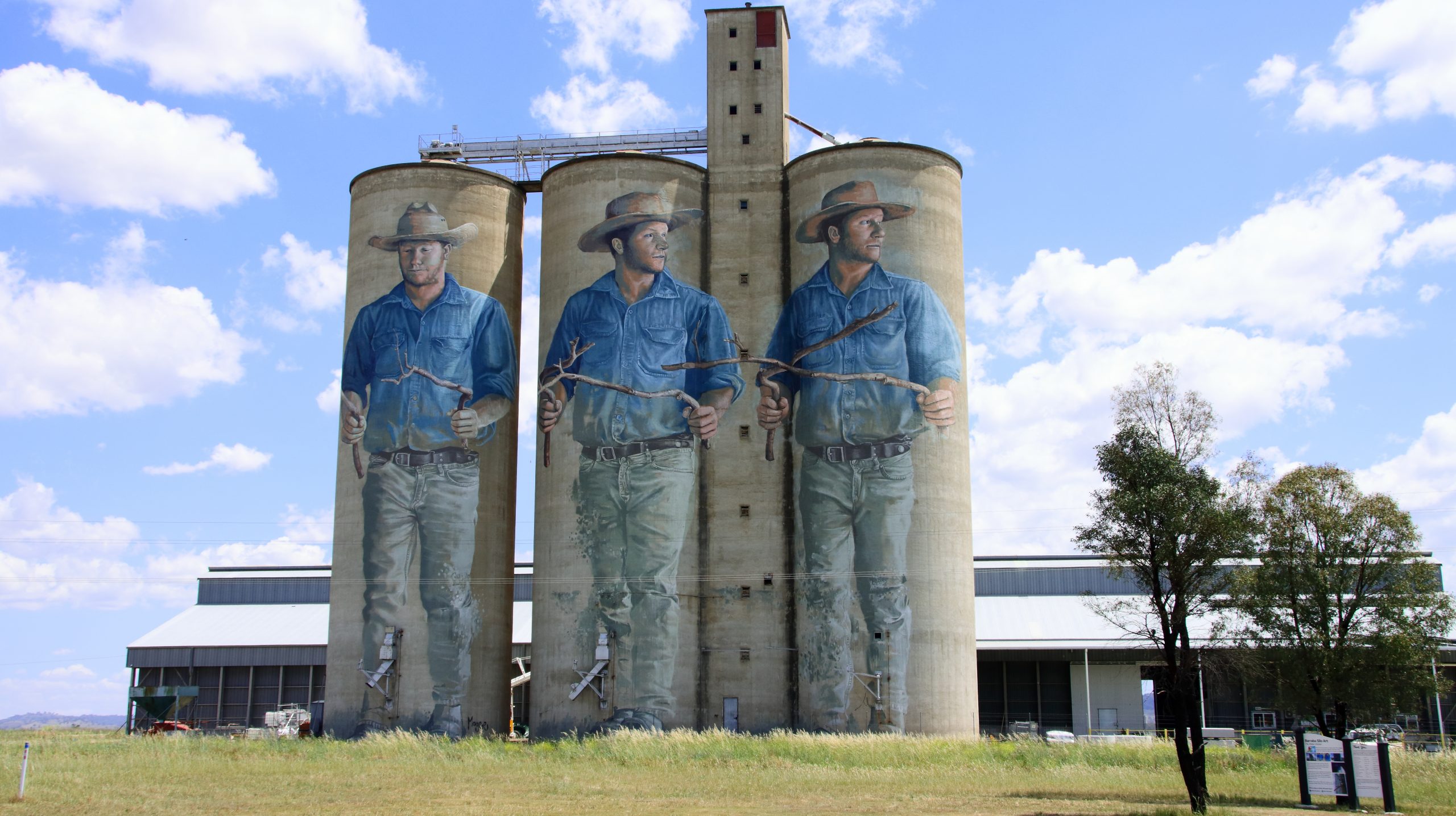
Silo art south of Barraba.
We journeyed on to Newcastle for the night, visiting relatives in Toronto and West Wallsend the following day. We drove on to Cronulla on Friday afternoon. On Saturday we did a tour to Bowral in the Southern Highlands and Mount Annan near Campbelltown, to catch Ruth’s brother and a sister. On Sunday our daughter came from Erskineville to join us for lunch. She provided some detail about her recent six-week trip to Europe. She has inherited my itchy feet.