Our original plan for our return had been a short drive to Atherton and then to return to Redcliffe via the inland route, through Charters Towers, Emerald, Roma and then home. But forecasts were predicting that burst of warmer weather towards the end of August. When we realised that the day we were to arrive in Roma the temperature was predicted to be 37C we recast our plans. We had come north looking for warmth, not heat.
We were not able to cancel our Atherton motel booking so left it in place. It is not that much further to go south from Cairns via the Palmerston Highway to Innisfail, so that is what we did. Our new plans included a night at Townsville, two at Airlie Beach and then one each at Yeppoon and Bargara.
From our brunch break at Smithfield, we drove directly to Mareeba, stopping only at road works. That meant several stops. Our one stop in Mareeba was at Coffee Works where we enjoyed an ice-cream and acquired a bottle of their own locally made chocolate liquor. It is among our daughter-in-law’s favourite tipples, so makes a good present. This time for her birthday.
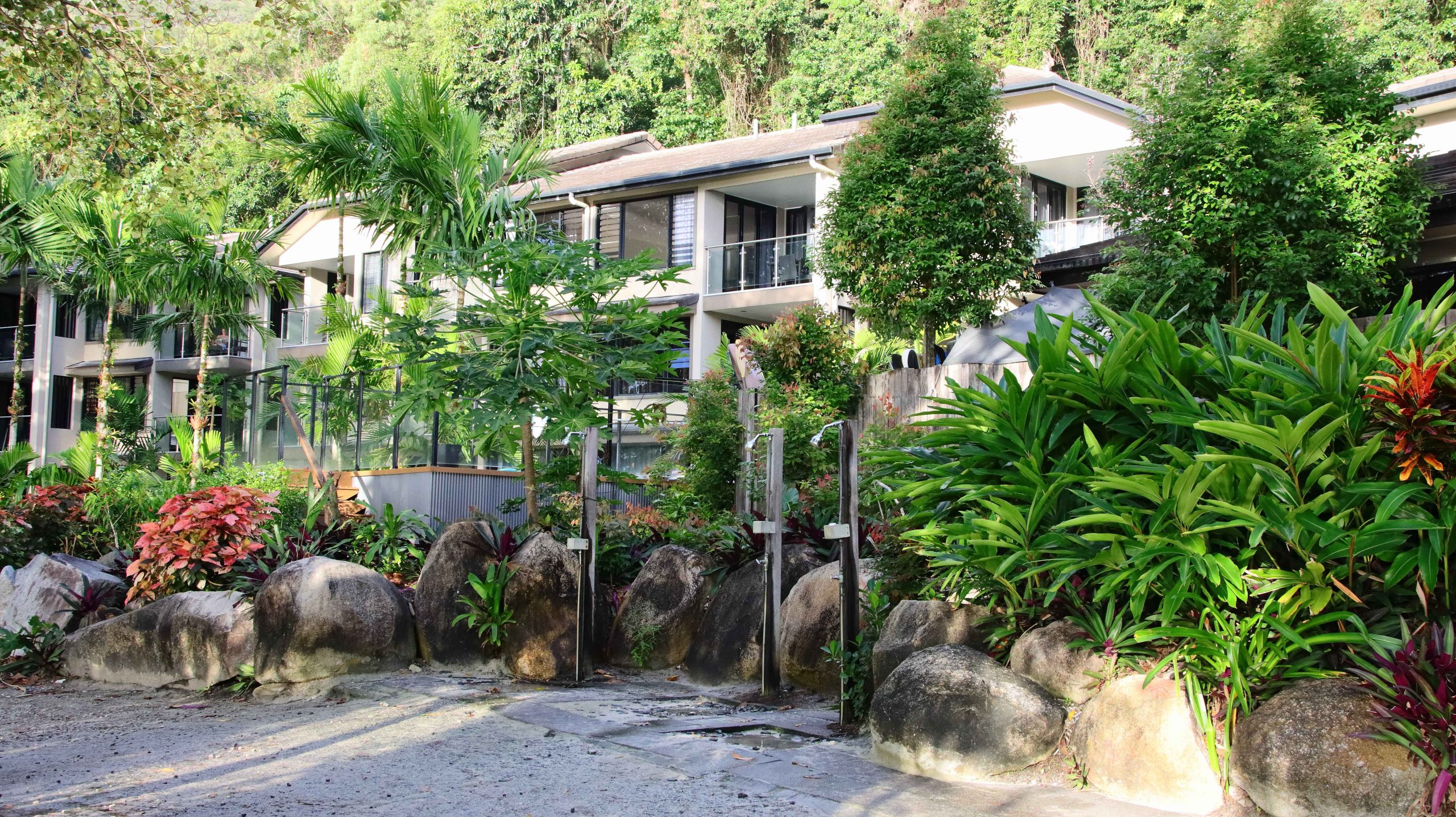
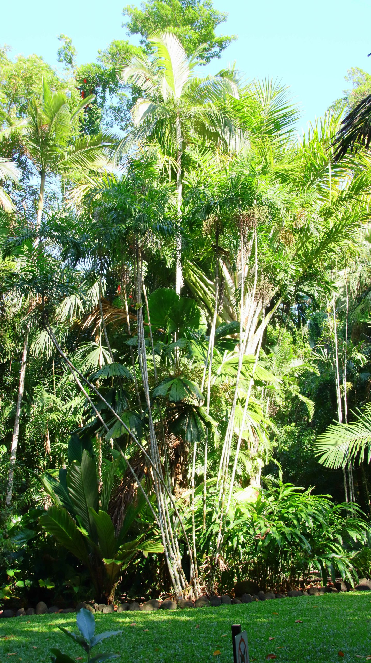
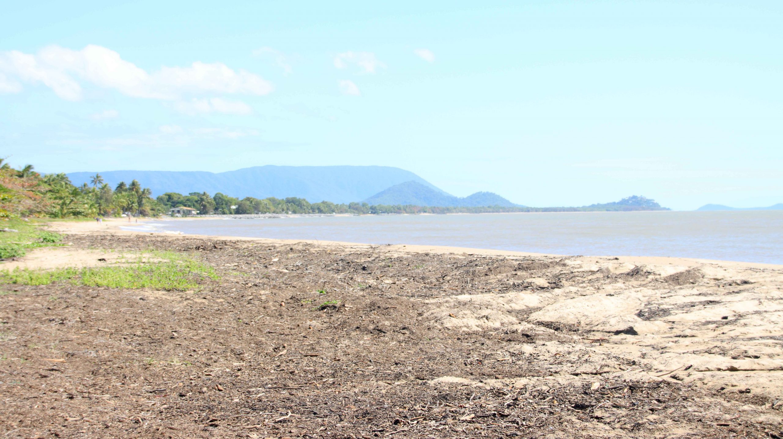
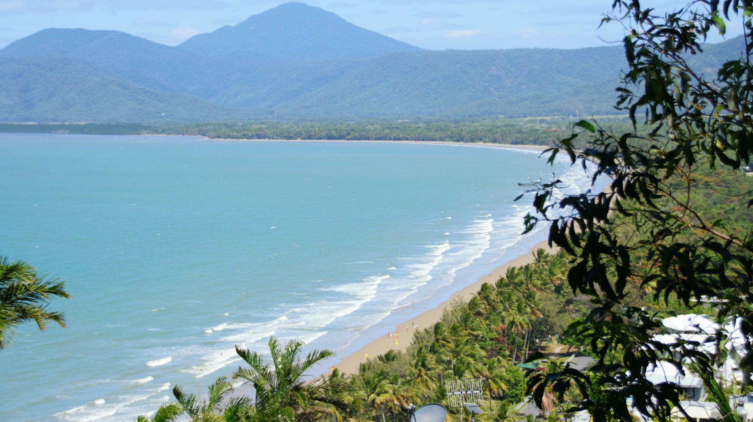
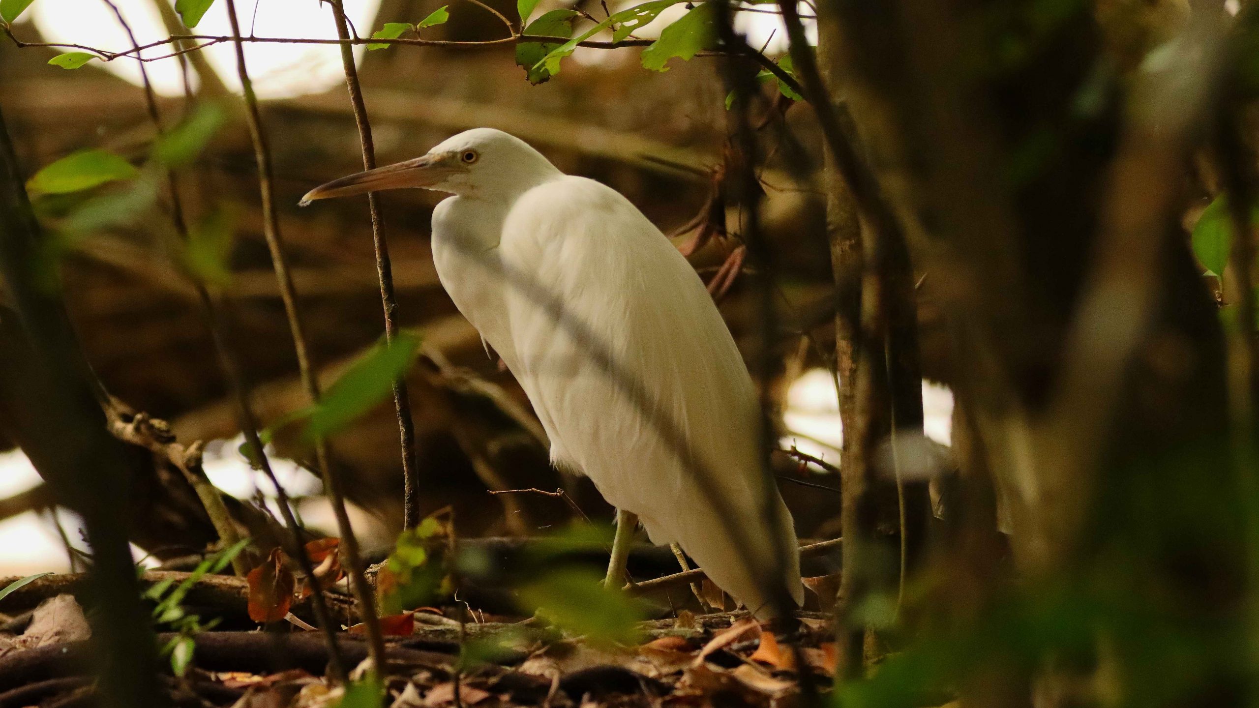
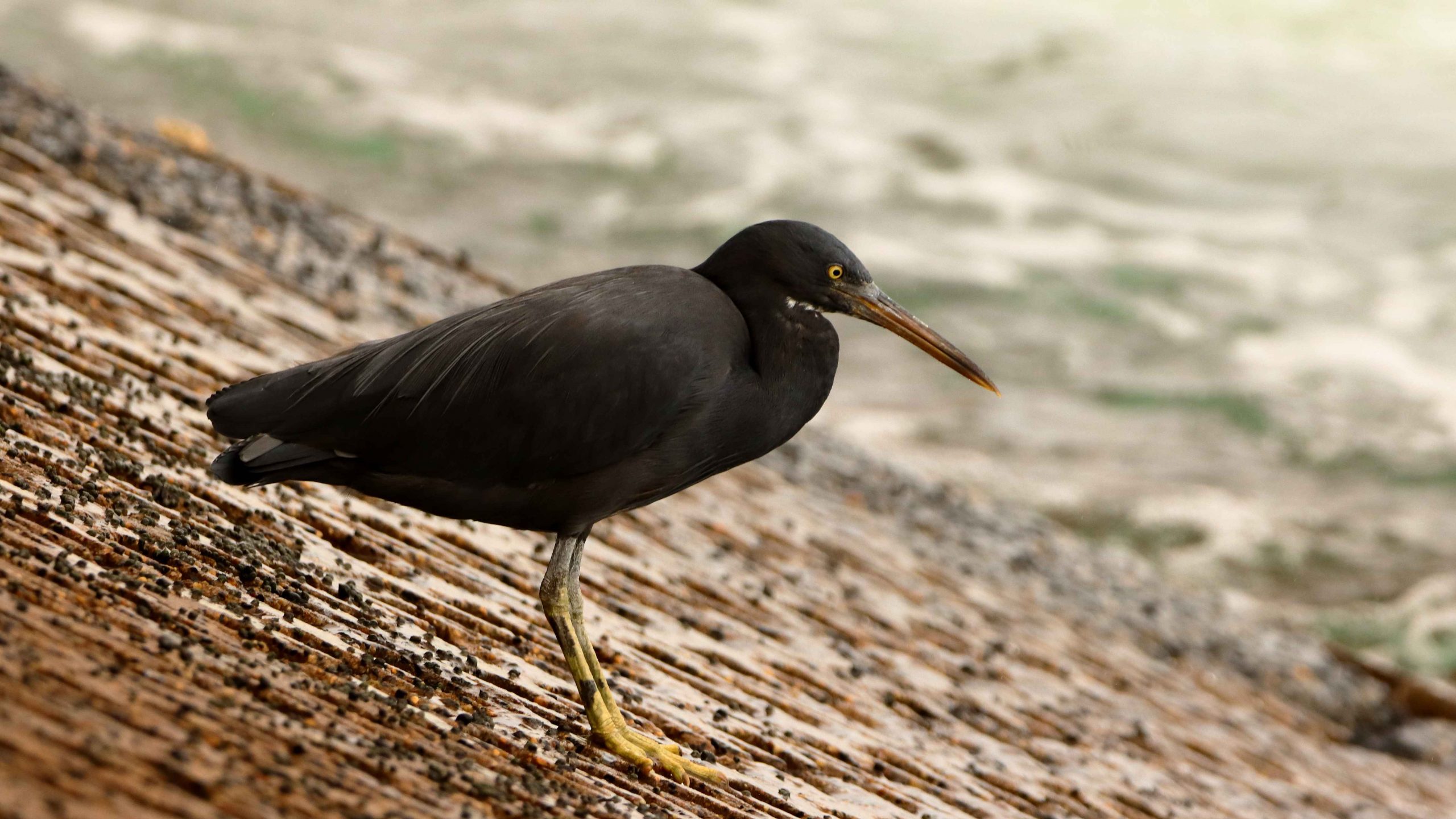
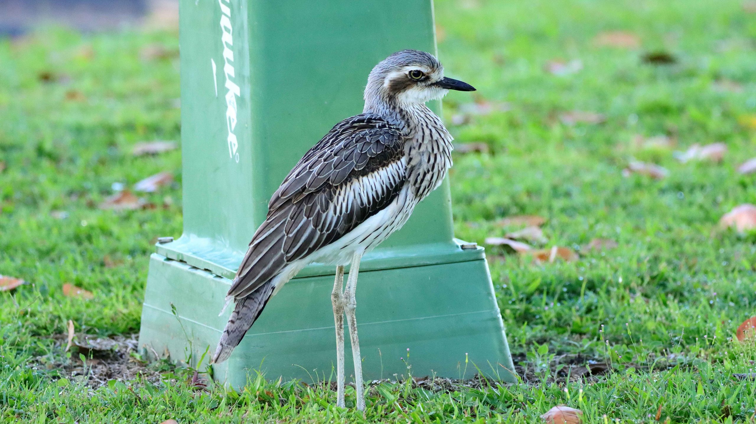
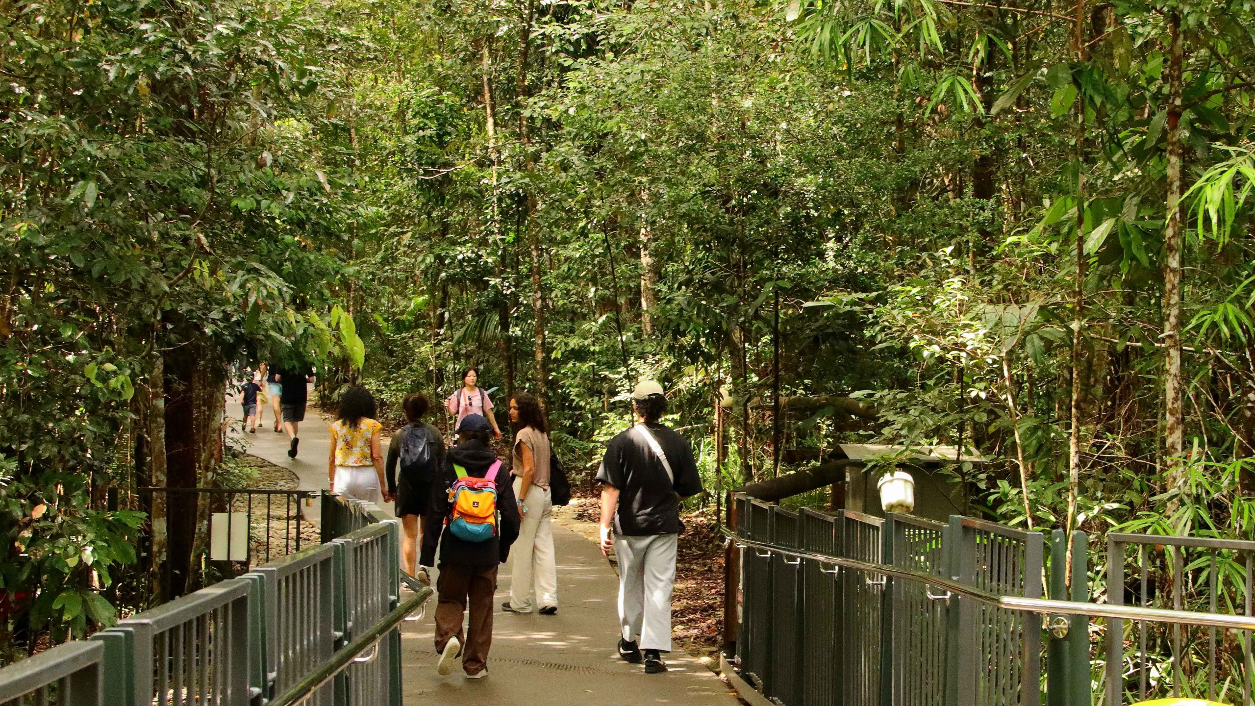
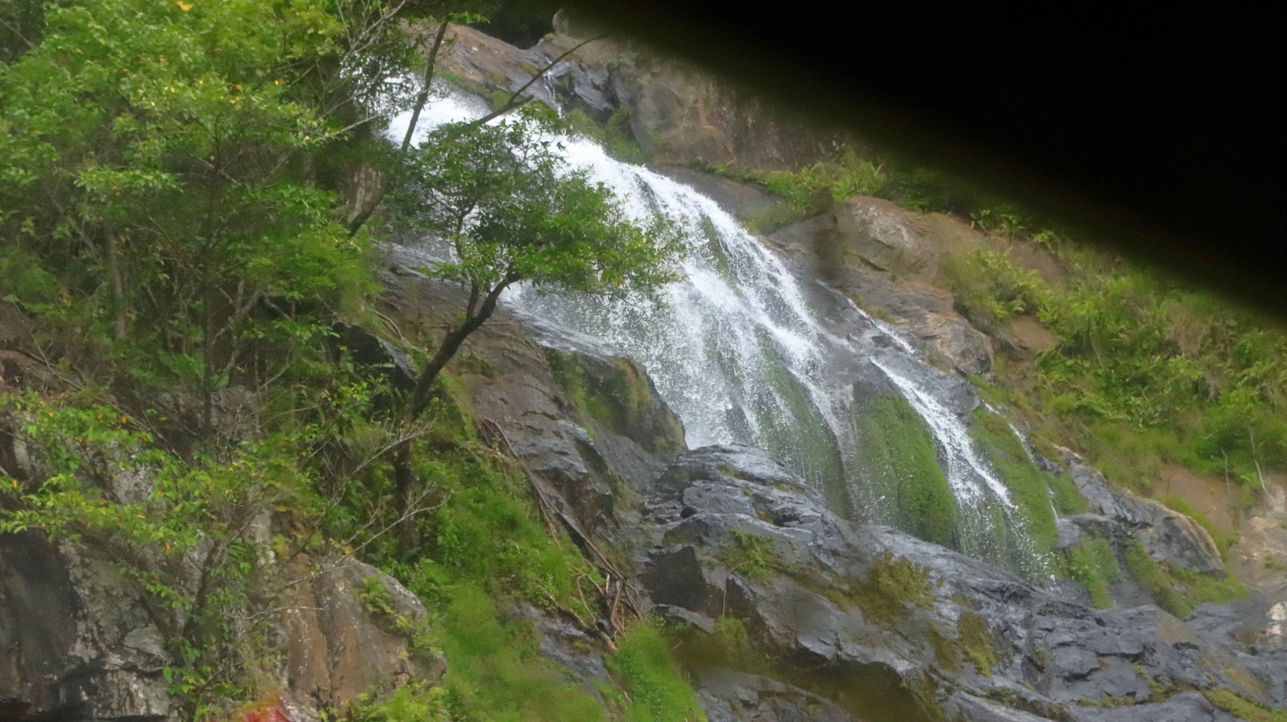
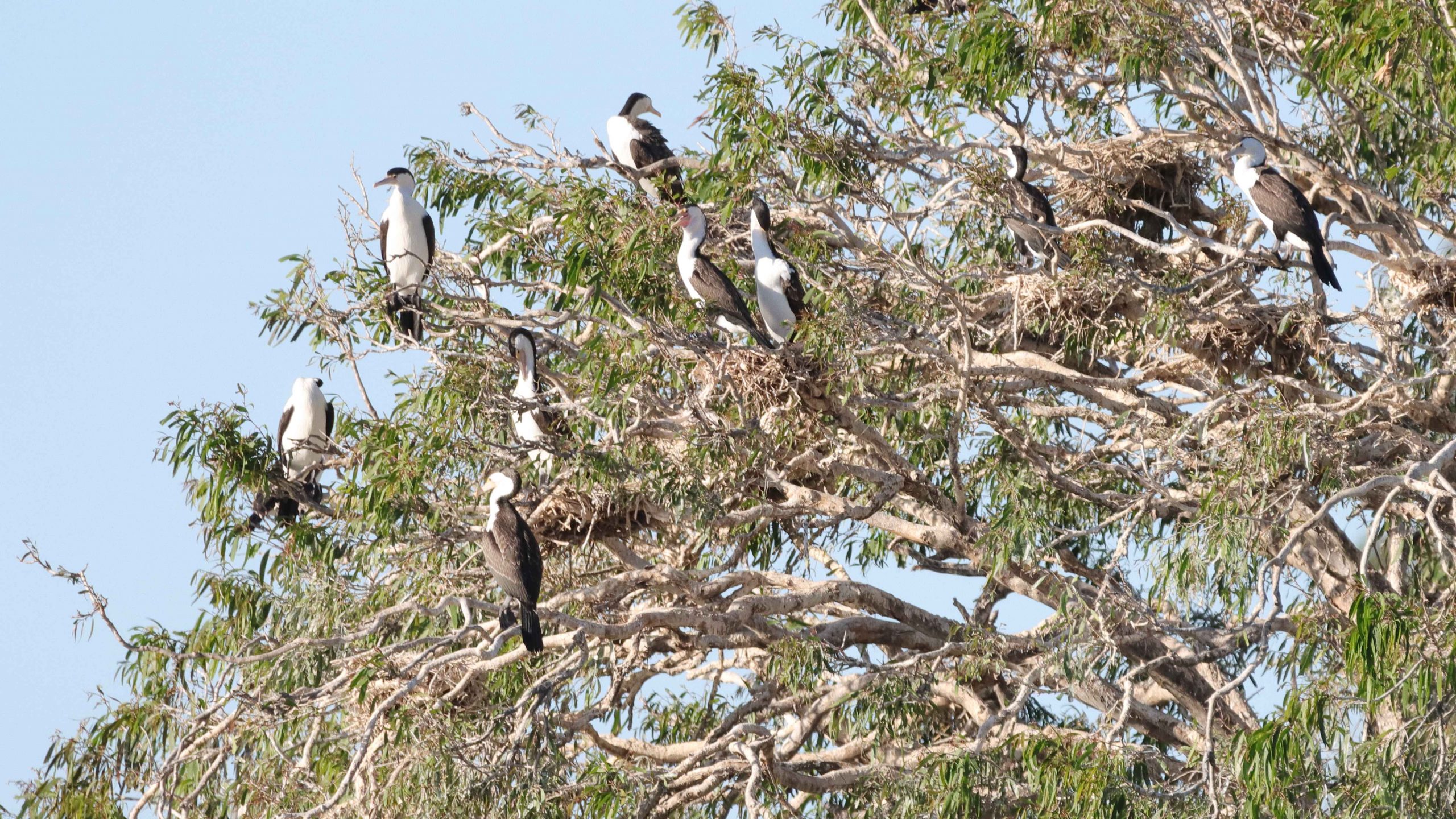
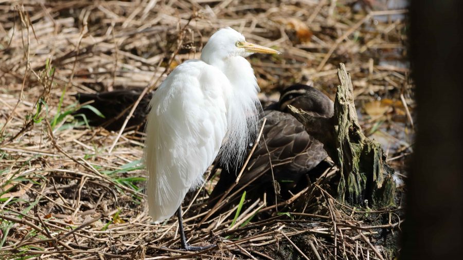
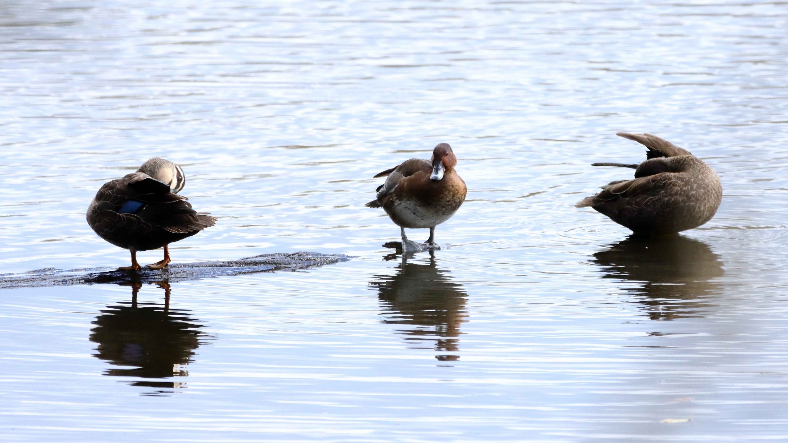
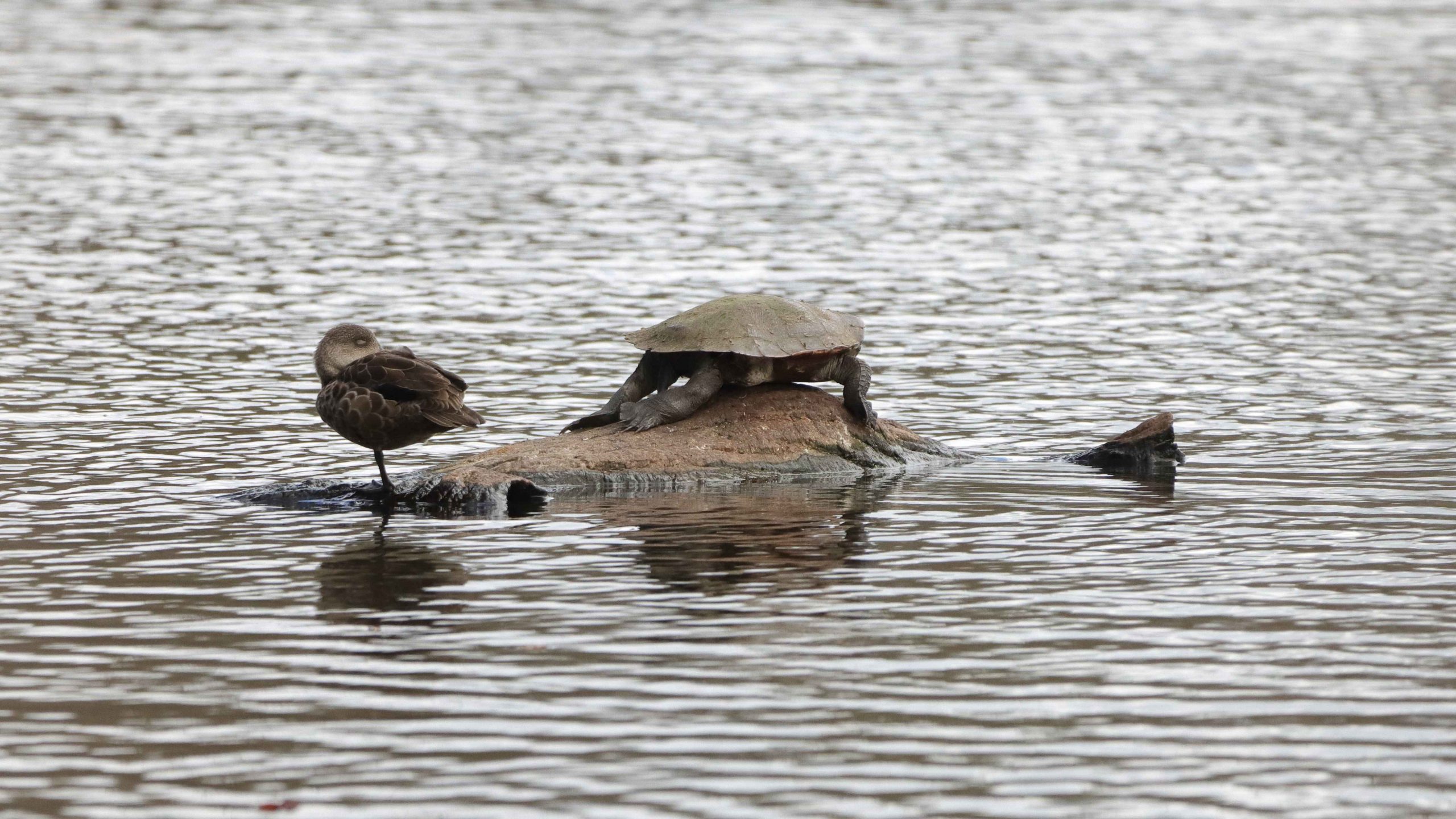
Before going to our Atherton accommodation, we drove to the south of the town, to Hastie’s Lagoon, a water bird sanctuary. The area around the lagoon is really a national park. It boasts an impressive two-level bird hide. But Atherton birds are every bit as smart as birds in other places and were mostly sitting or floating just beyond the the extreme range of my longest lens.
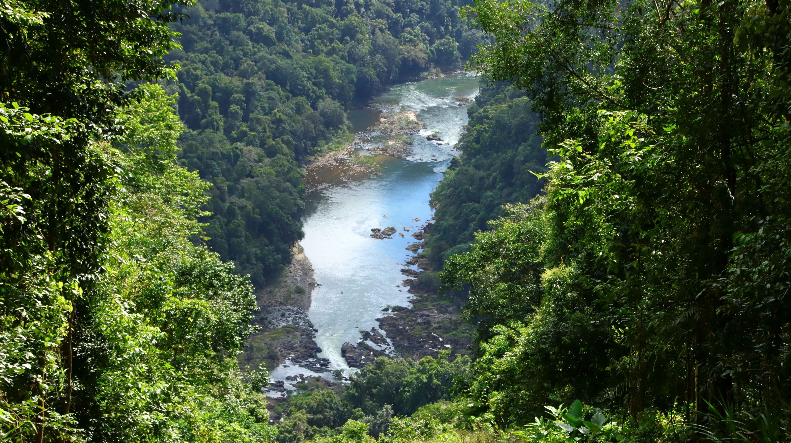
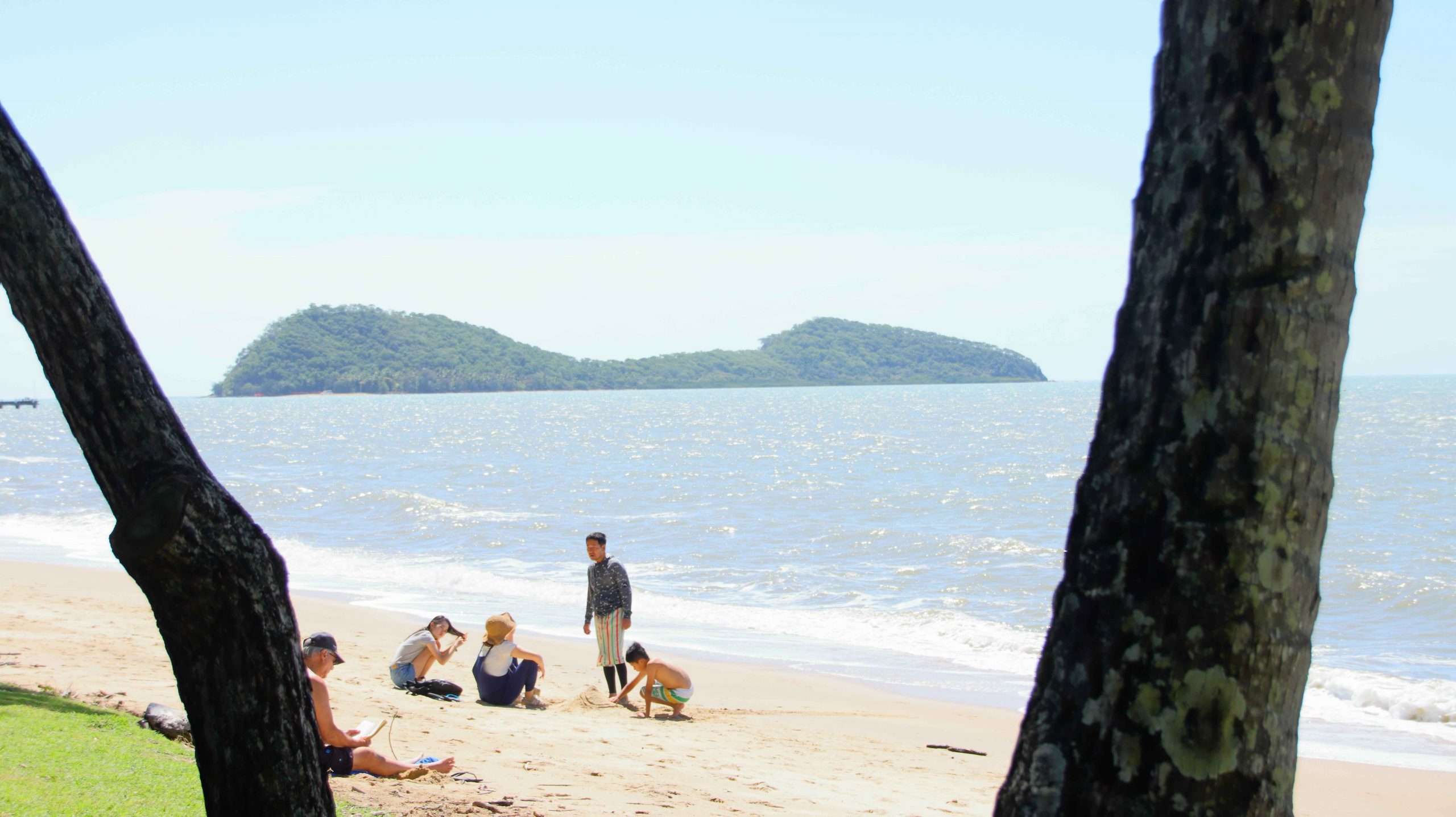
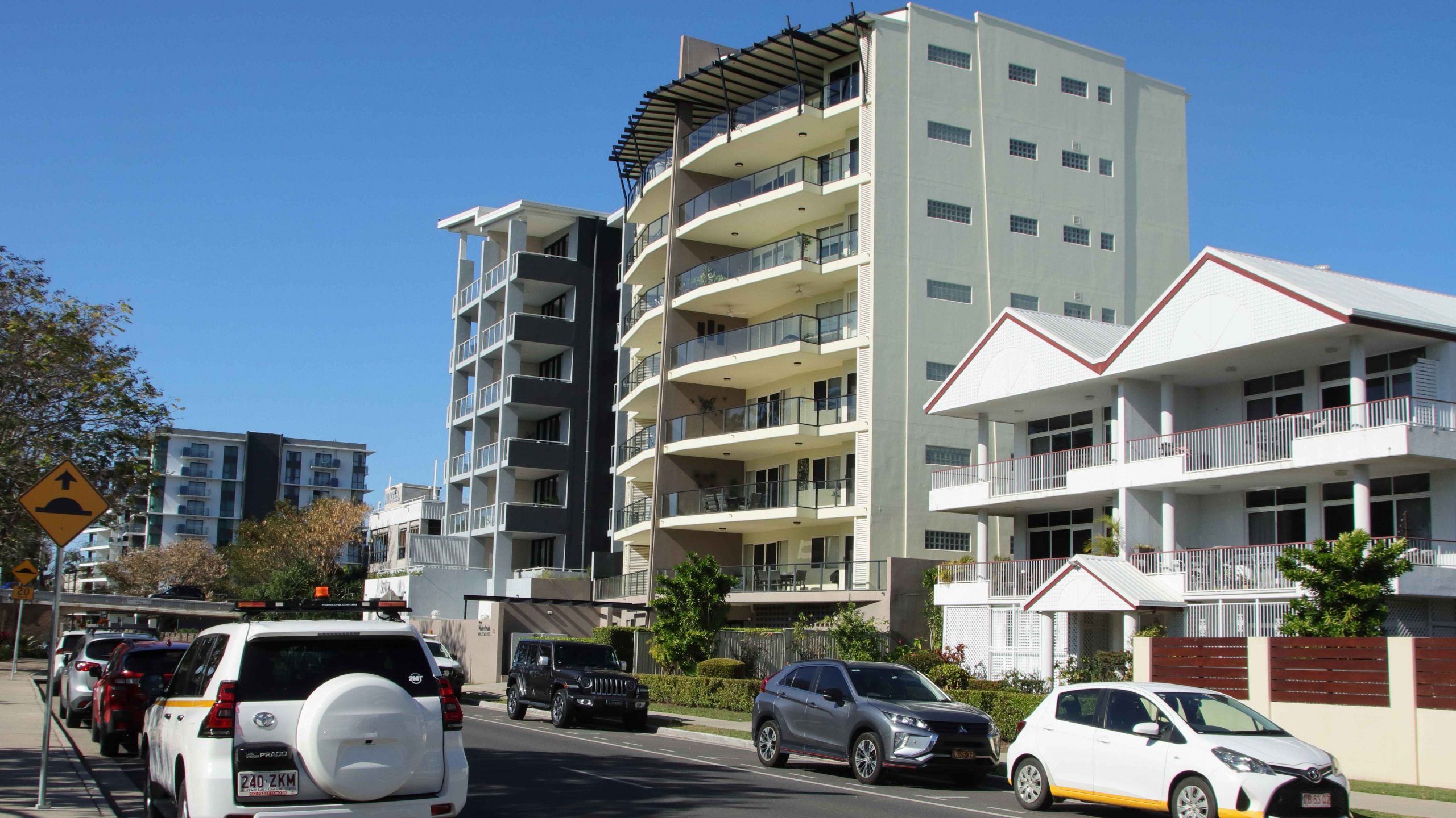
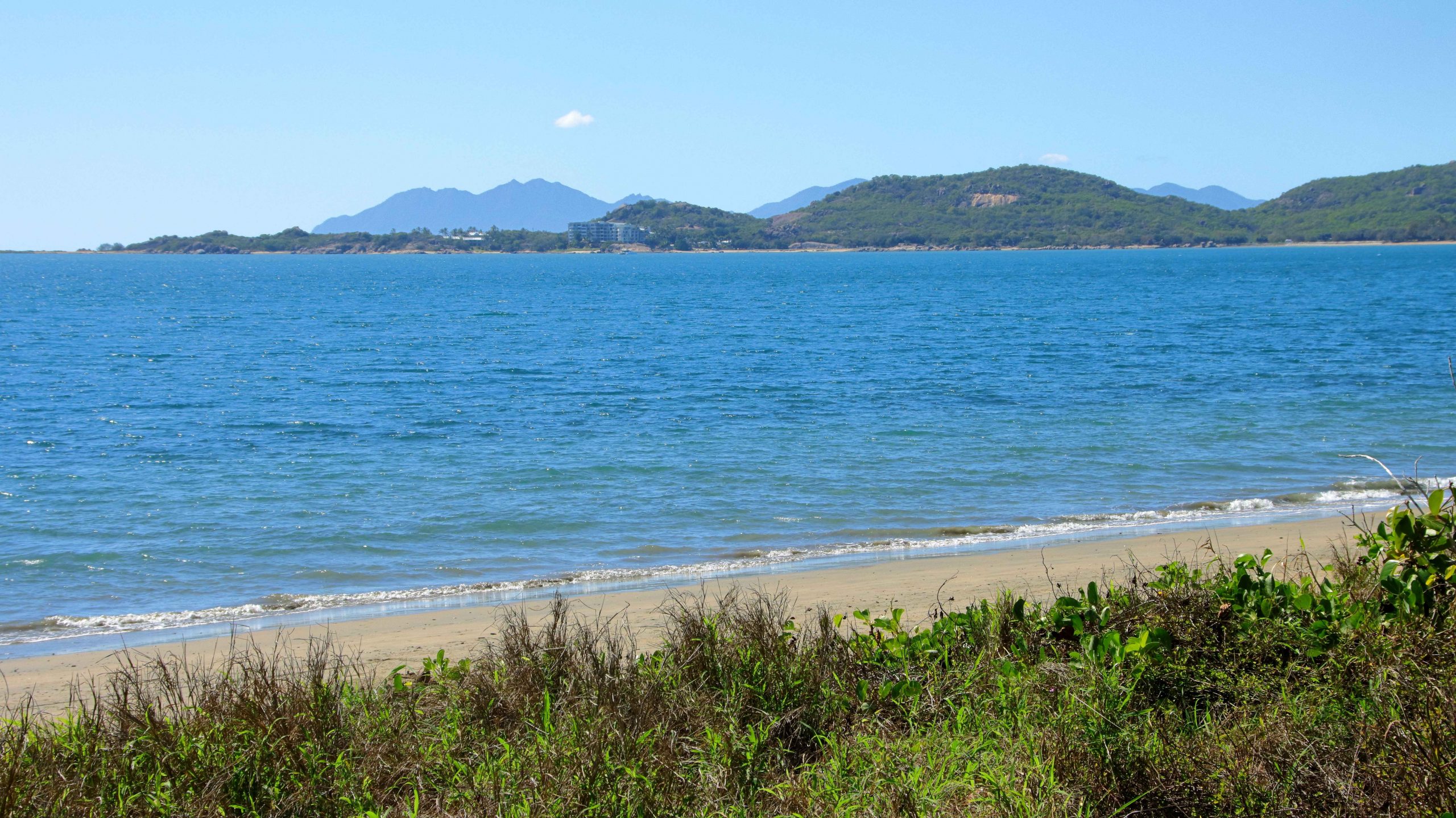
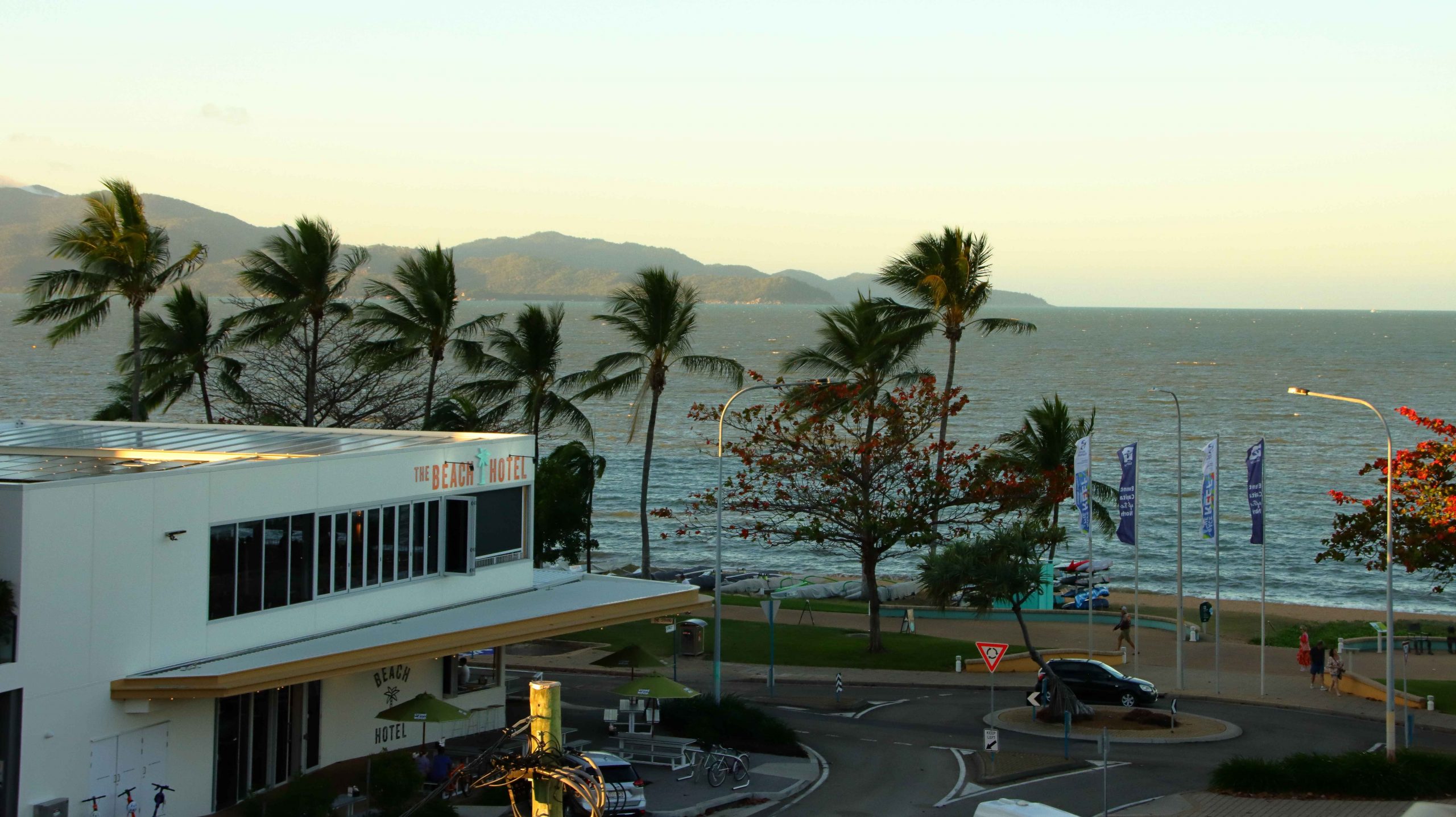
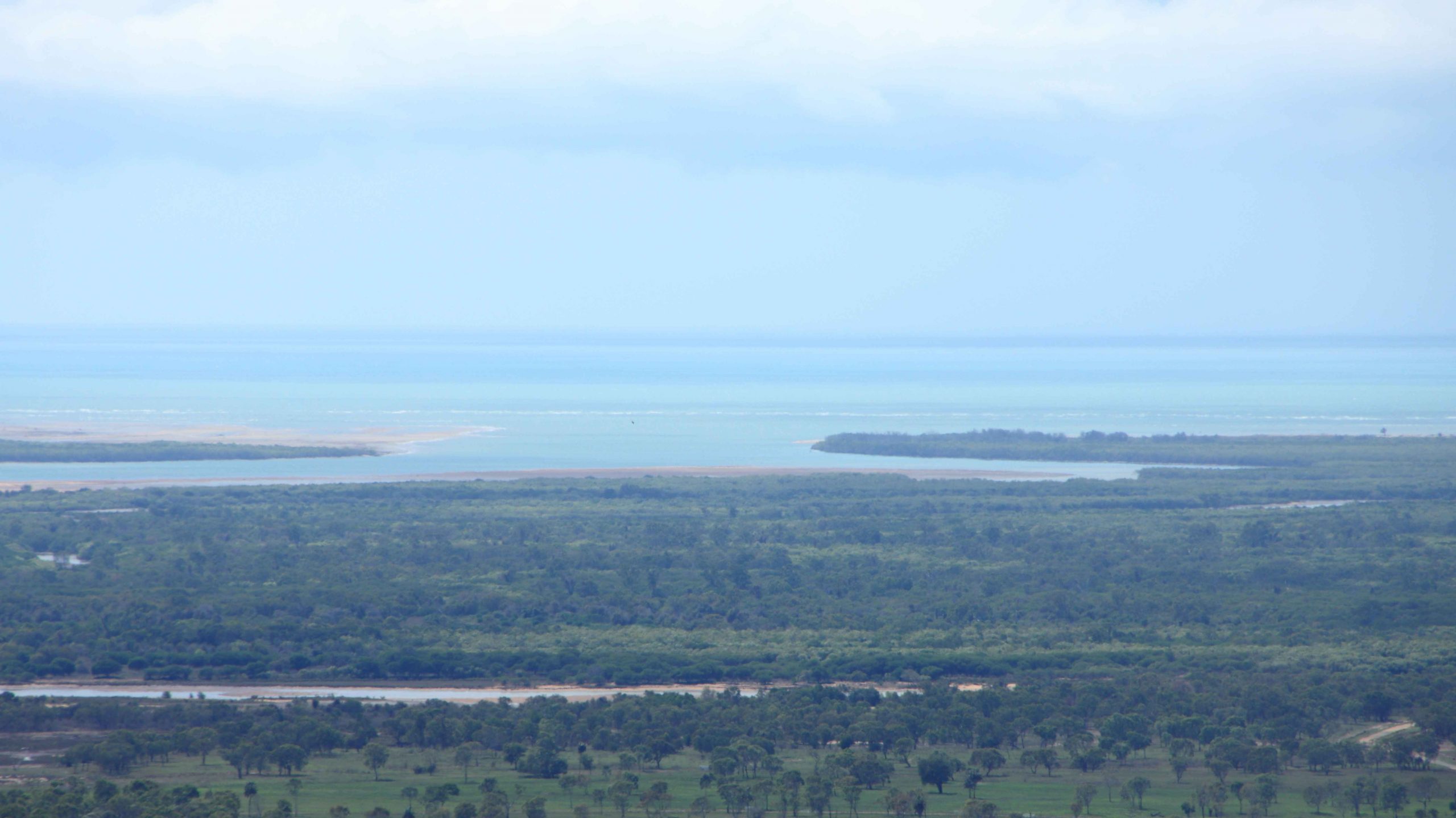
Next day, Tuesday, we had an uneventful trip to Townsville with breaks to view the one place where the North Johnson River Innisfail, coffee at North Innisfail and the Hinchinbrook lookout. We stopped for lunch at Ingham before heading to our Townsville accommodation, one block back from The Strand. We had views of The Strand area and out to Magnetic Island.
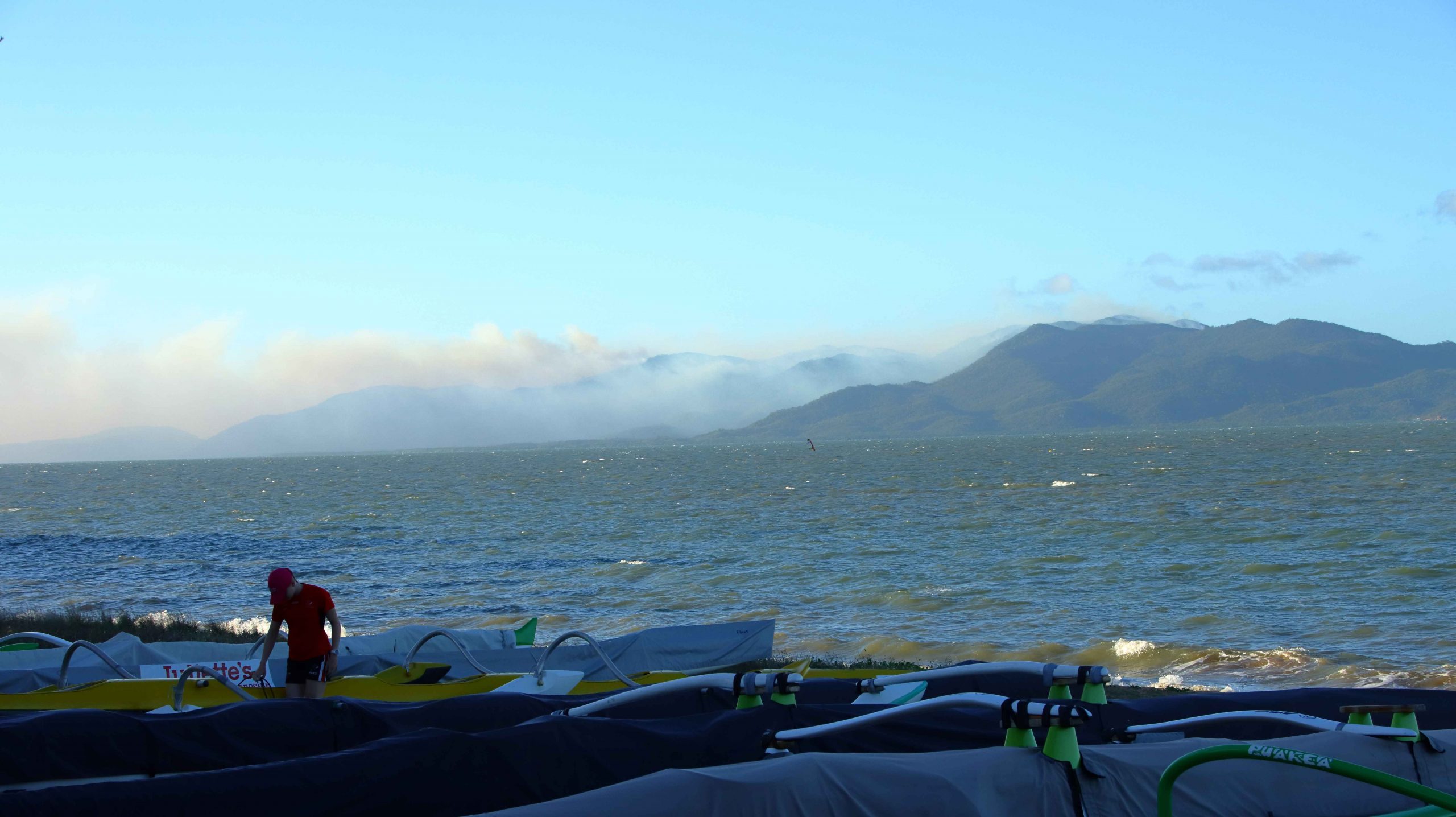
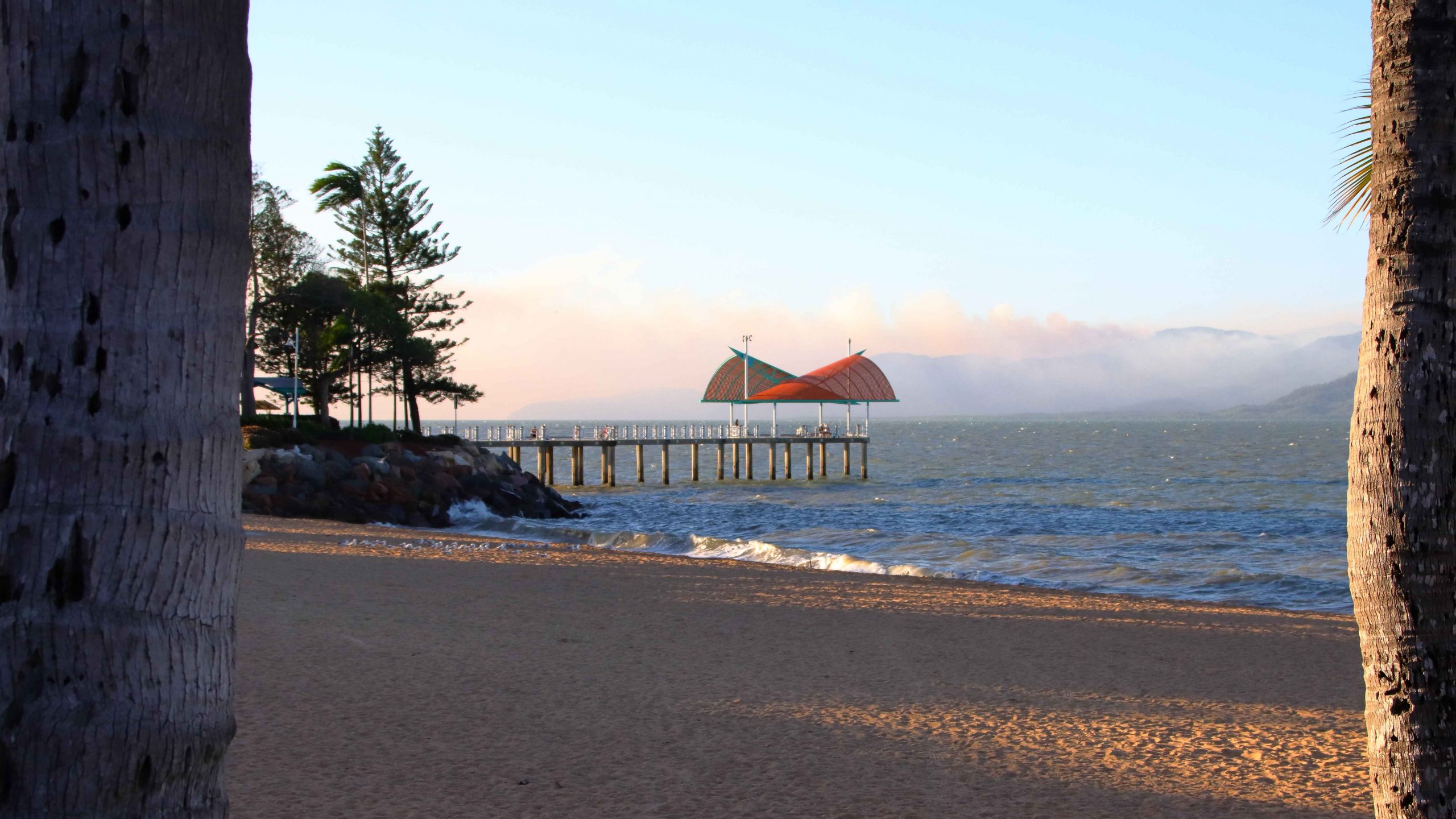
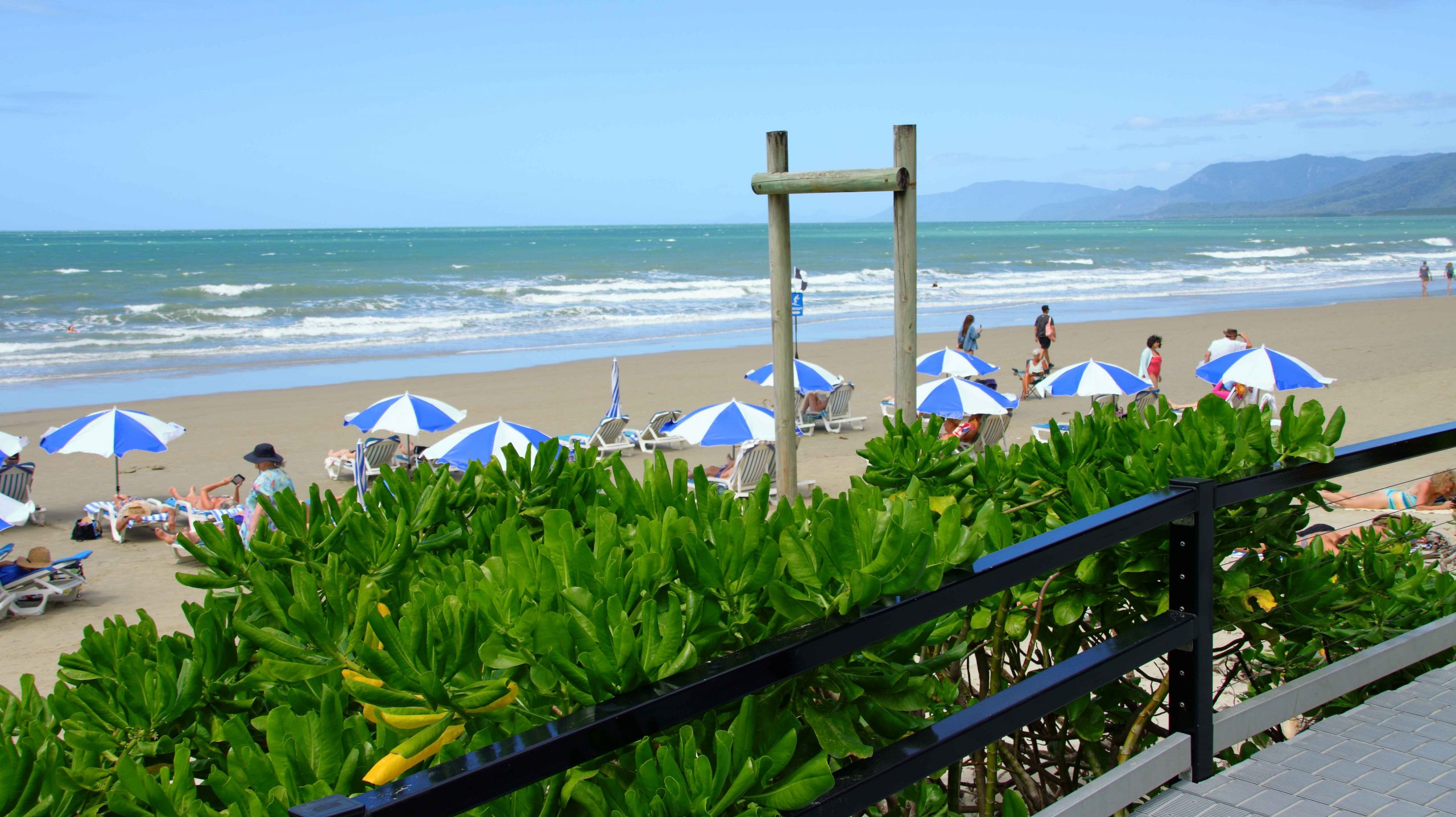
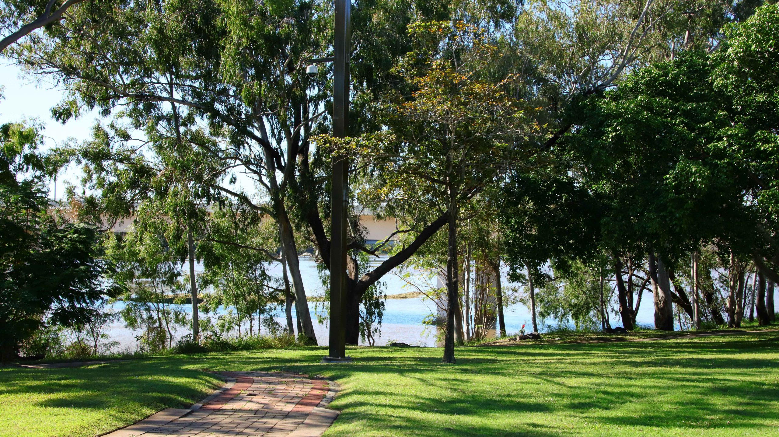
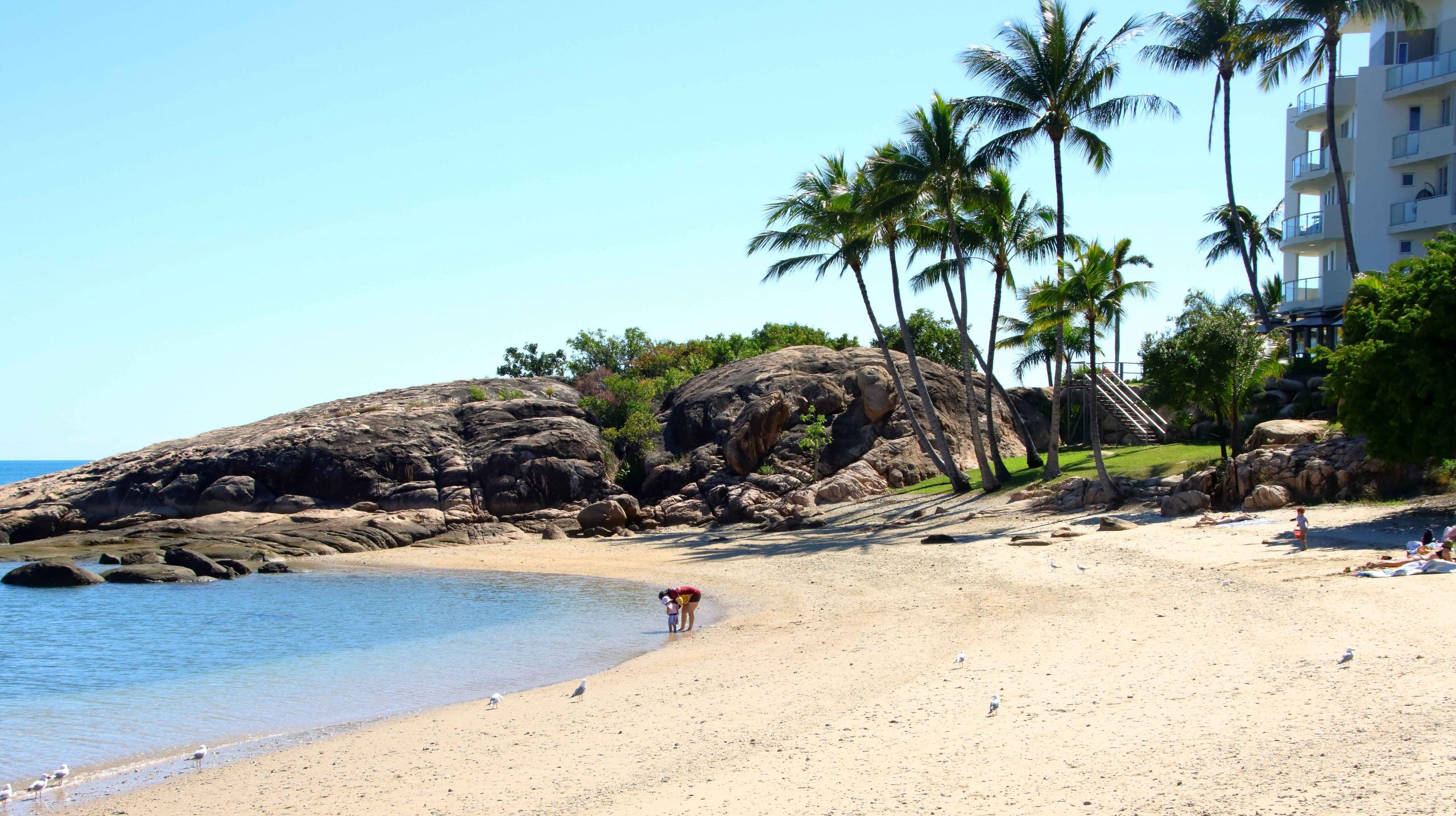
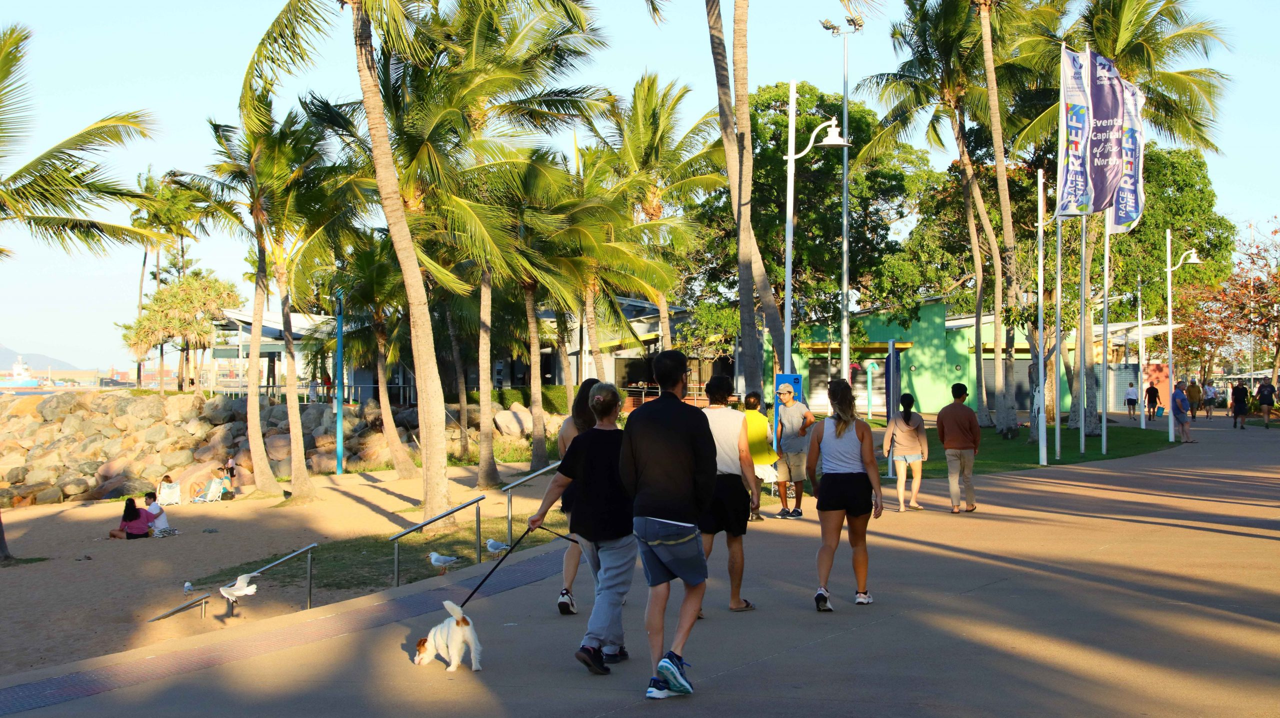
I took a stroll to The Strand and did my daily walk, in company with some of Townsville’s early evening walkers. I stopped to take photos while most other walkers just walked. We were all enjoying a pleasant evening.
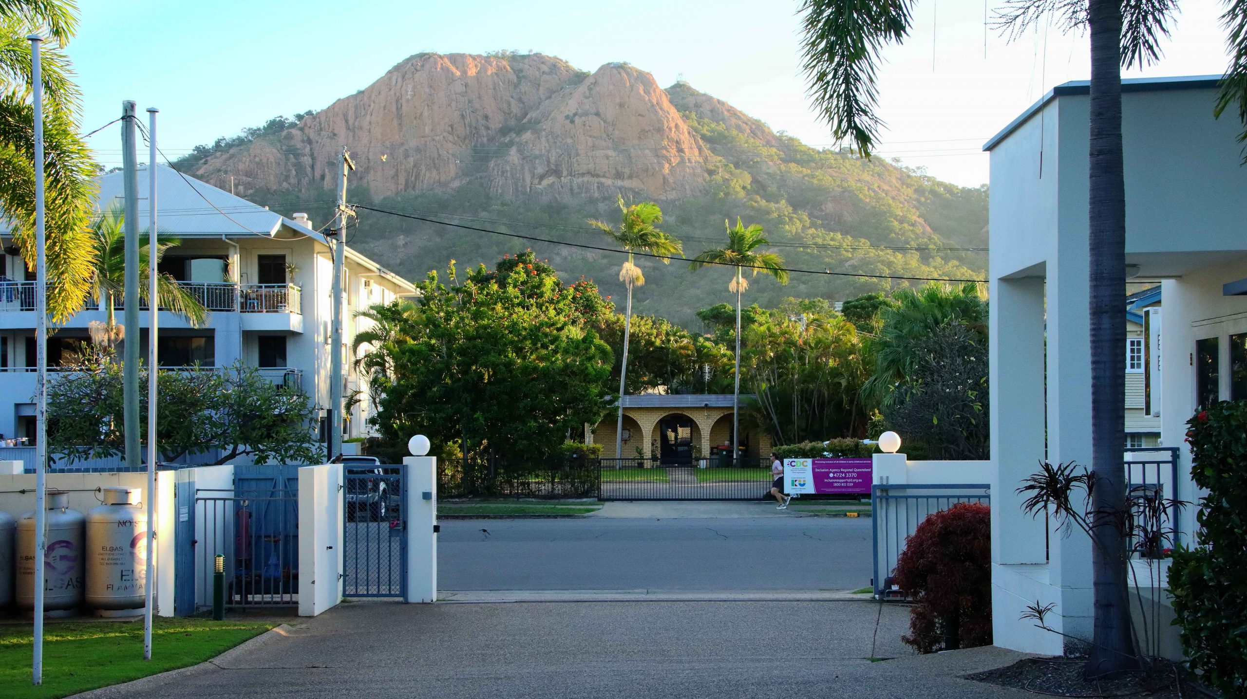
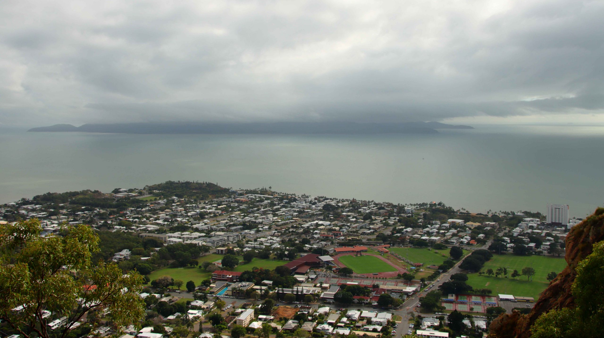
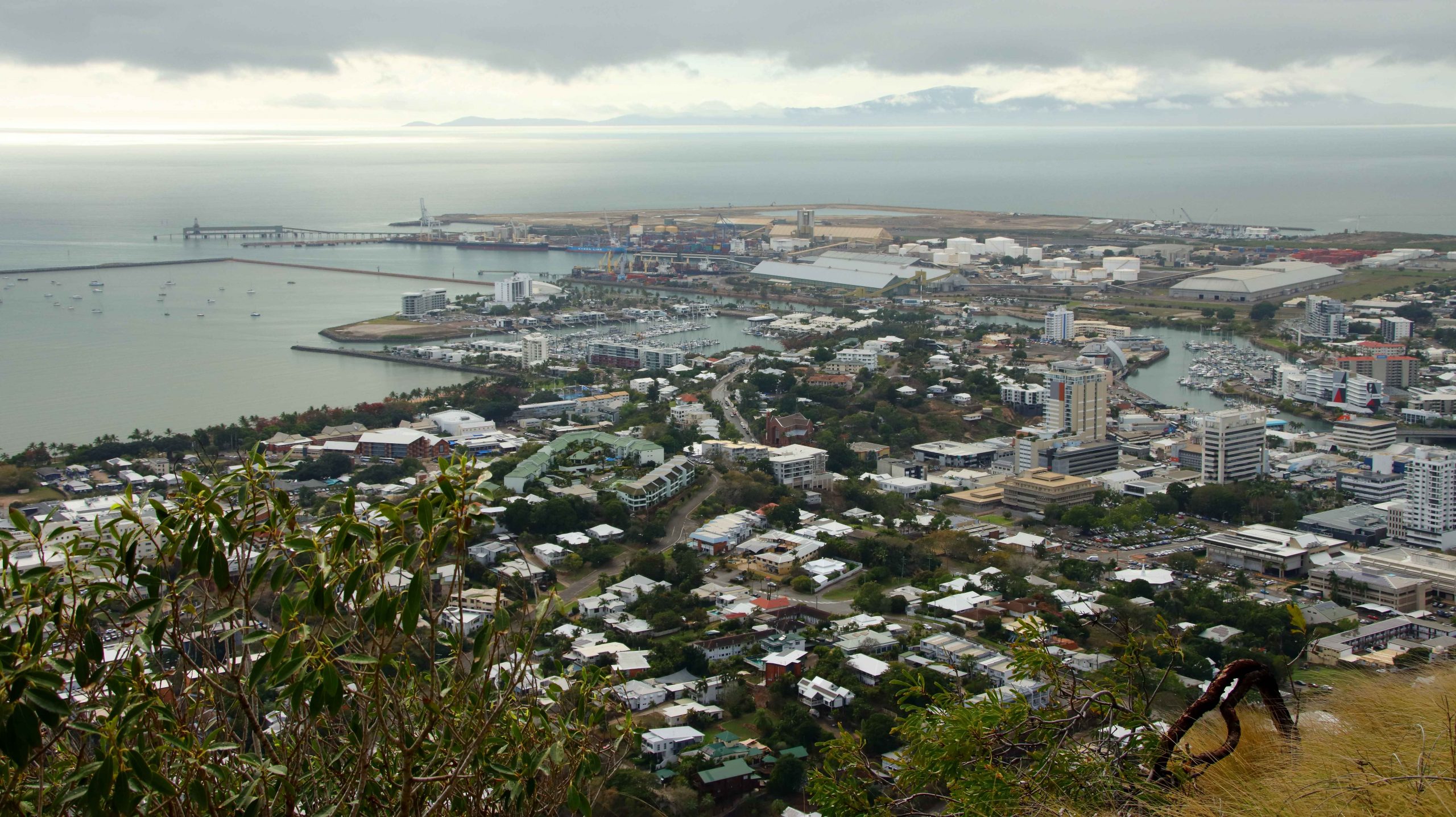
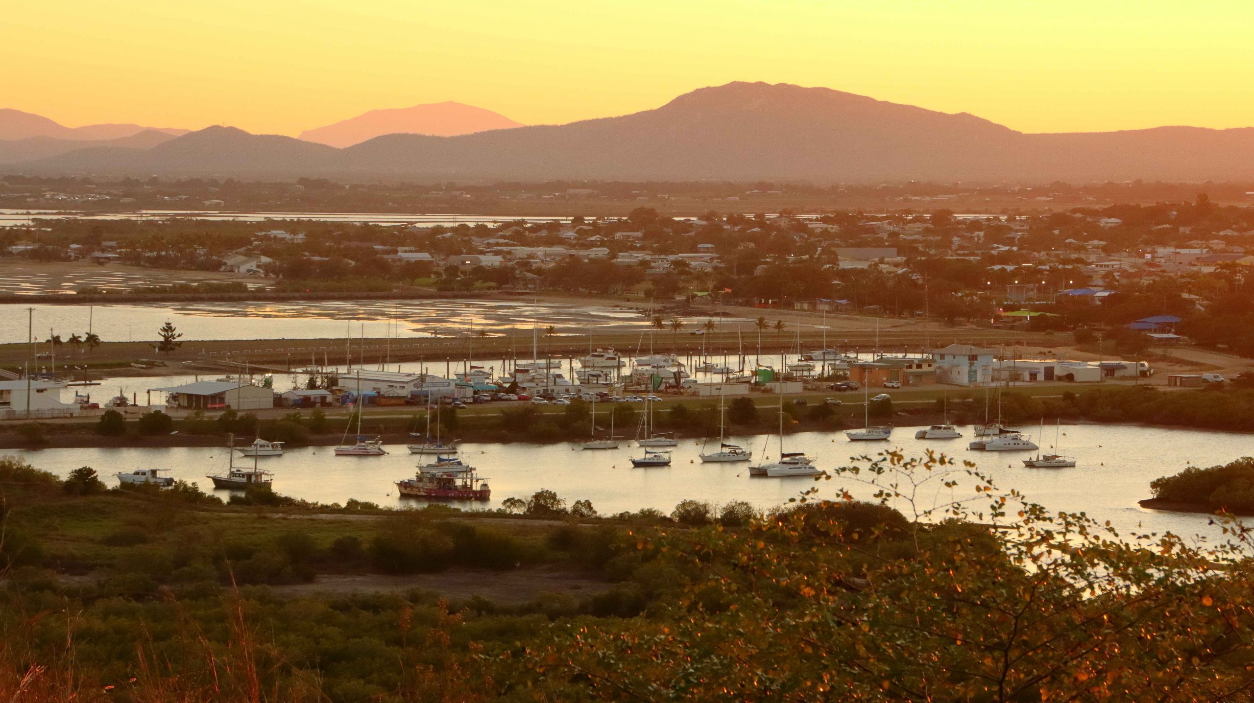
Wednesday dawned with total cloud cover and a ground mist. As we were packing, a light shower drifted in from the ocean temporarily obscuring Castle Hill. As the lookout at the top of that huge pile of rocks was our first objective for the day, we watched with mild anxiety, but good luck prevailed. By the time the we checked out and set off the rain had cleared and some lighter areas of cloud were starting to show.
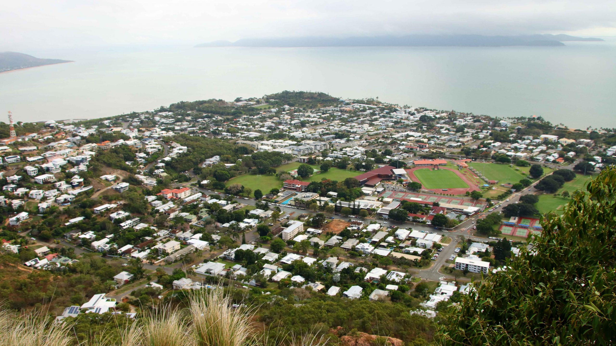
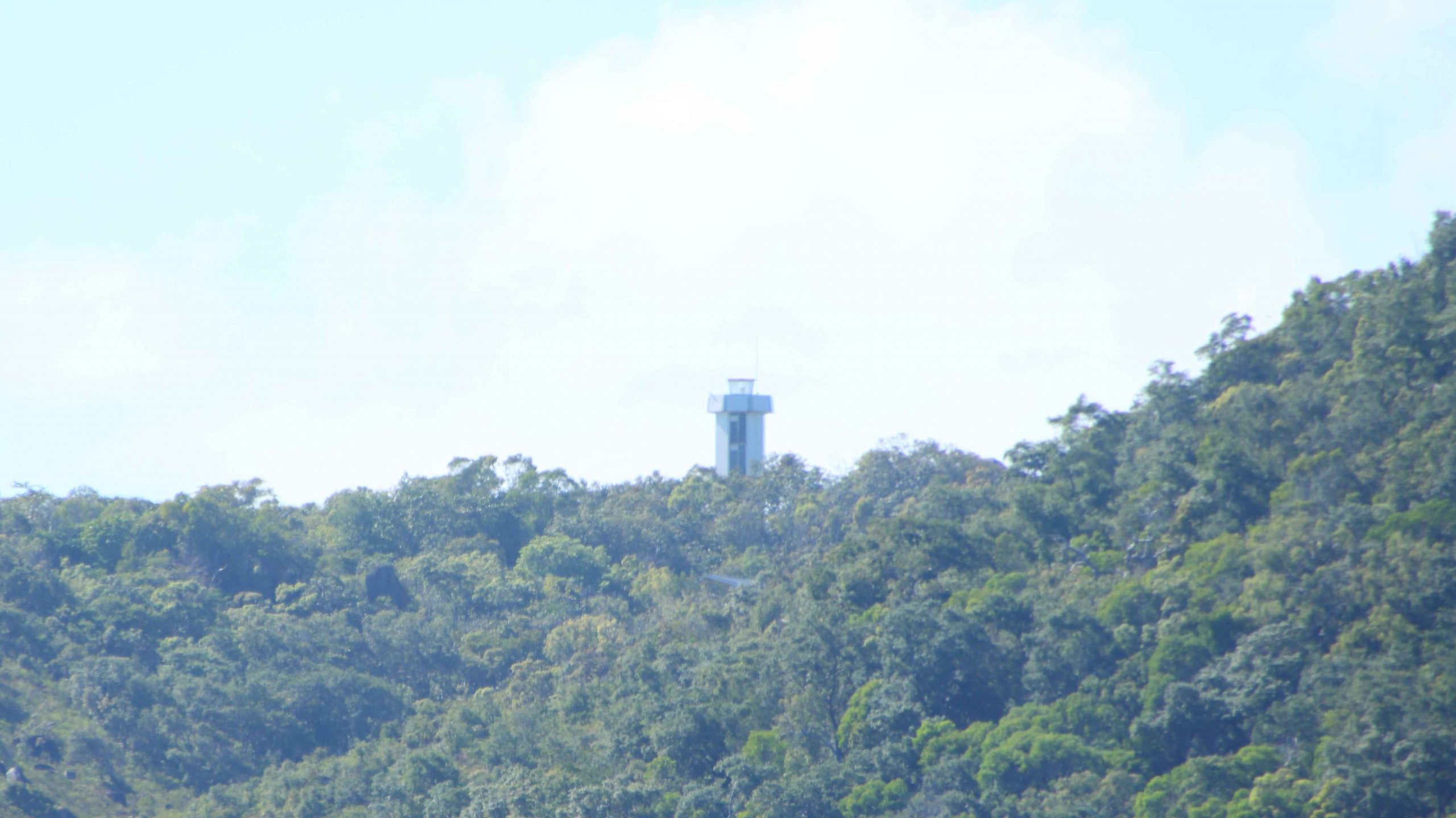
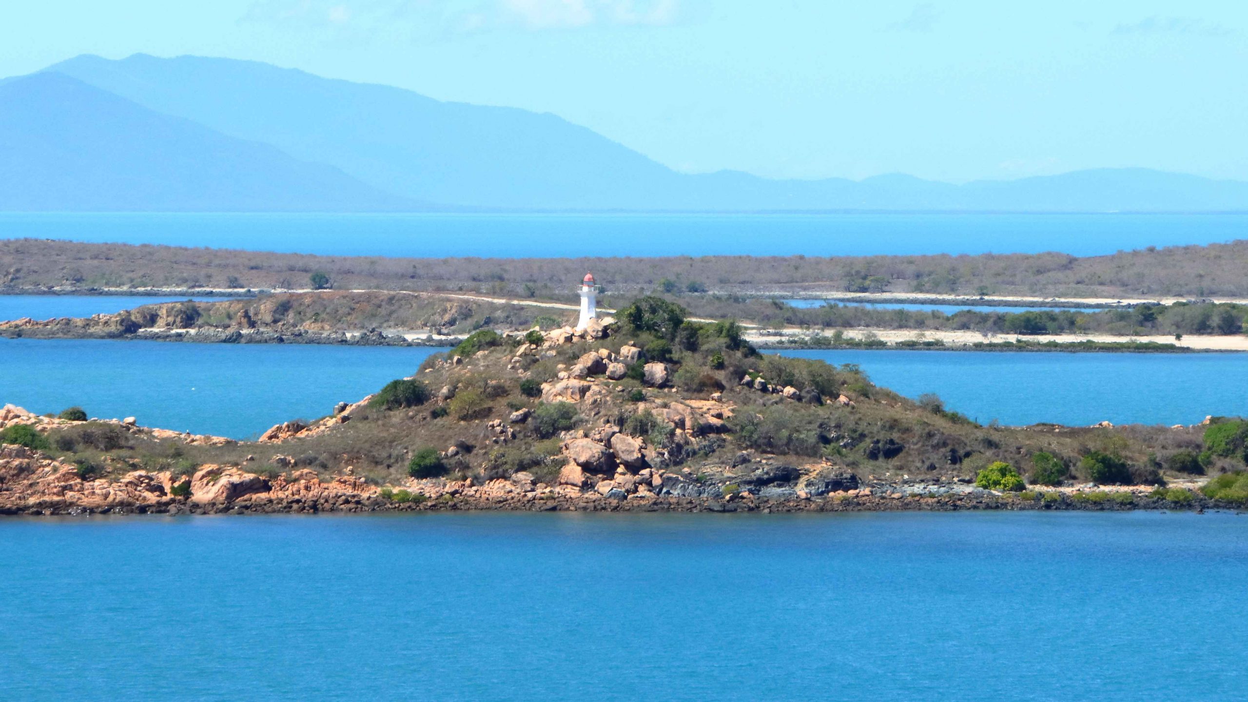
The summit of Castle Hill was quite clear and reasonable for visibility and photos, although there was still rain falling to the west. The overnight rain had extinguished a large grass fire on Palm Island that had been sending huge clouds of smoke over the area north of Townsville and if still burning would have made photography problematical.
Traffic on the Bruce Highway was the heaviest that we had experienced south of Townsville, with constant traffic going north. But we still made good time. We made ourselves a cup of coffee at Brandon, just north of Ayr. South of Home Hill we drove the steep road to the picnic area at the summit of Mount Inkerman.
Last time that we made that drive we had to leave the caravan at the bottom beside the road. Drought prevailed and everything was brown and burned. This time greenery stretched to the horizon inland and to the Coral Sea to the east.
We called at Bowen for lunch and made it to our unit at Whitsunday Terraces at Airlie Beach by mid-afternoon.
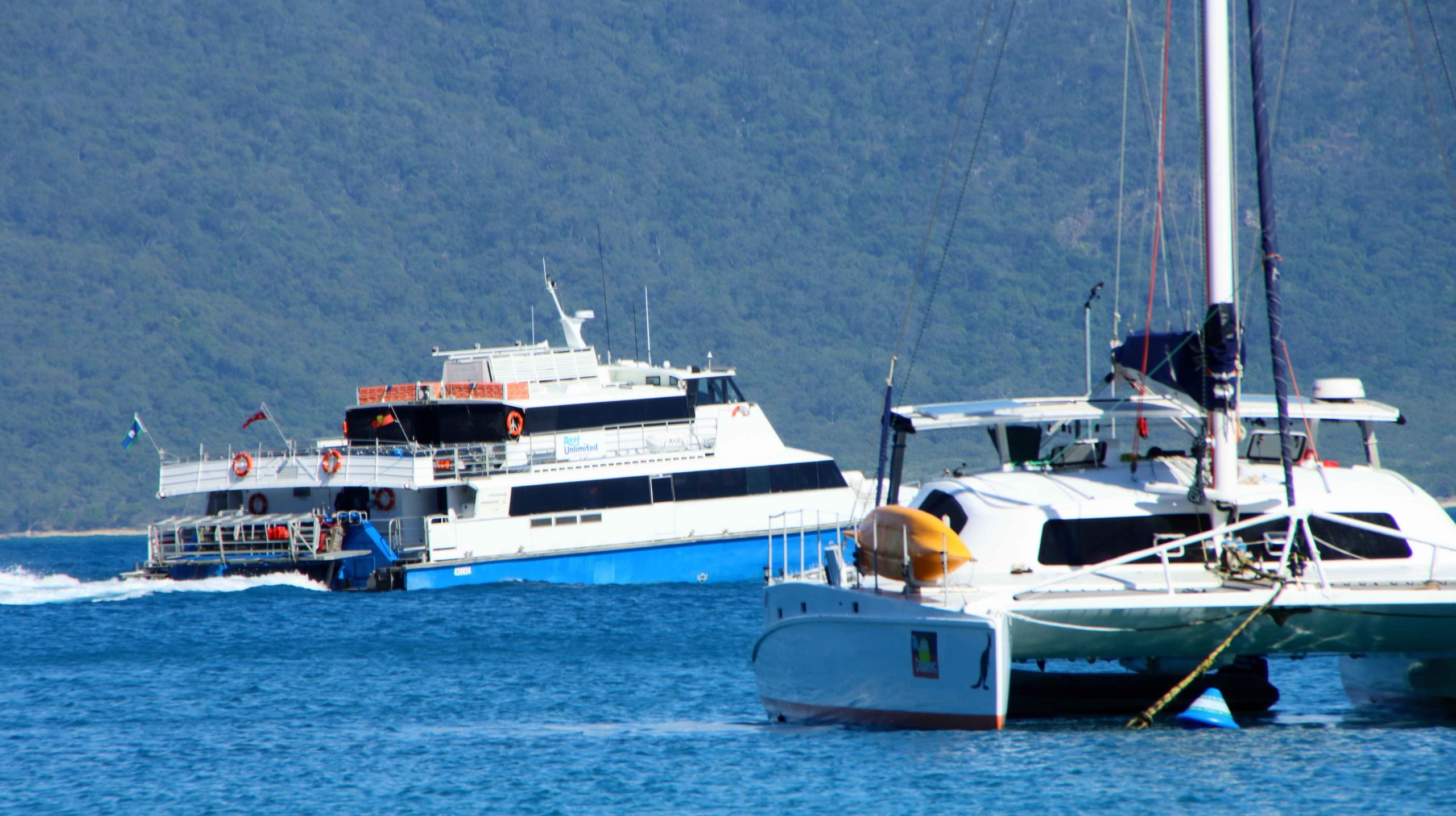
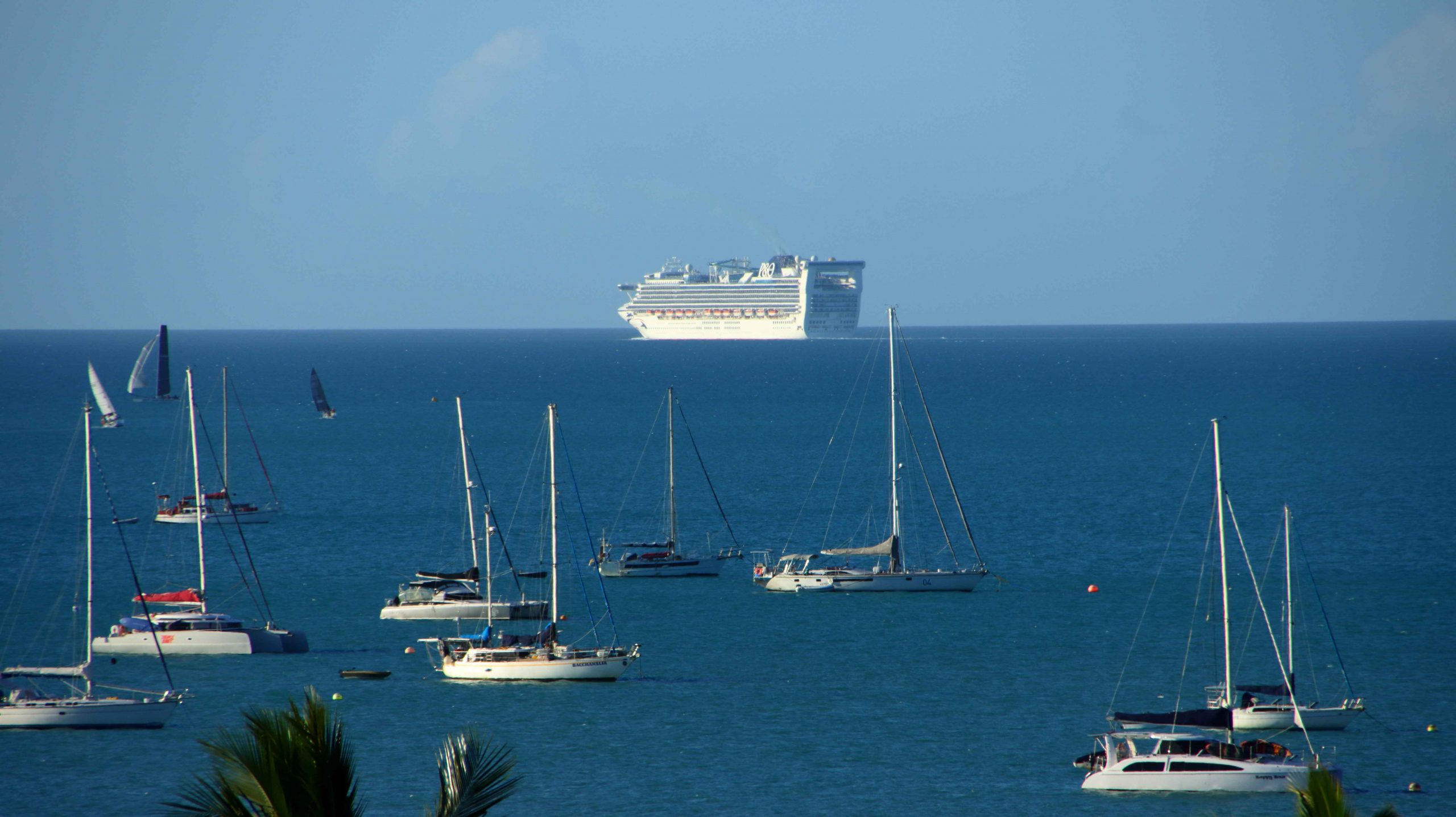
We had booked to ensure a view, and while our accommodation was not as elevated as on our previous visit, we still had great views of the town, Whitsunday Passage and the many boats at anchor outside of the harbour. Beyond the boats was a P&O cruise liner, at anchor waiting for the return of day tripping passengers. With not too much daylight left passengers were soon boarded and the ship weighed anchor and commenced its overnight cruise, disappearing from view to the north west.
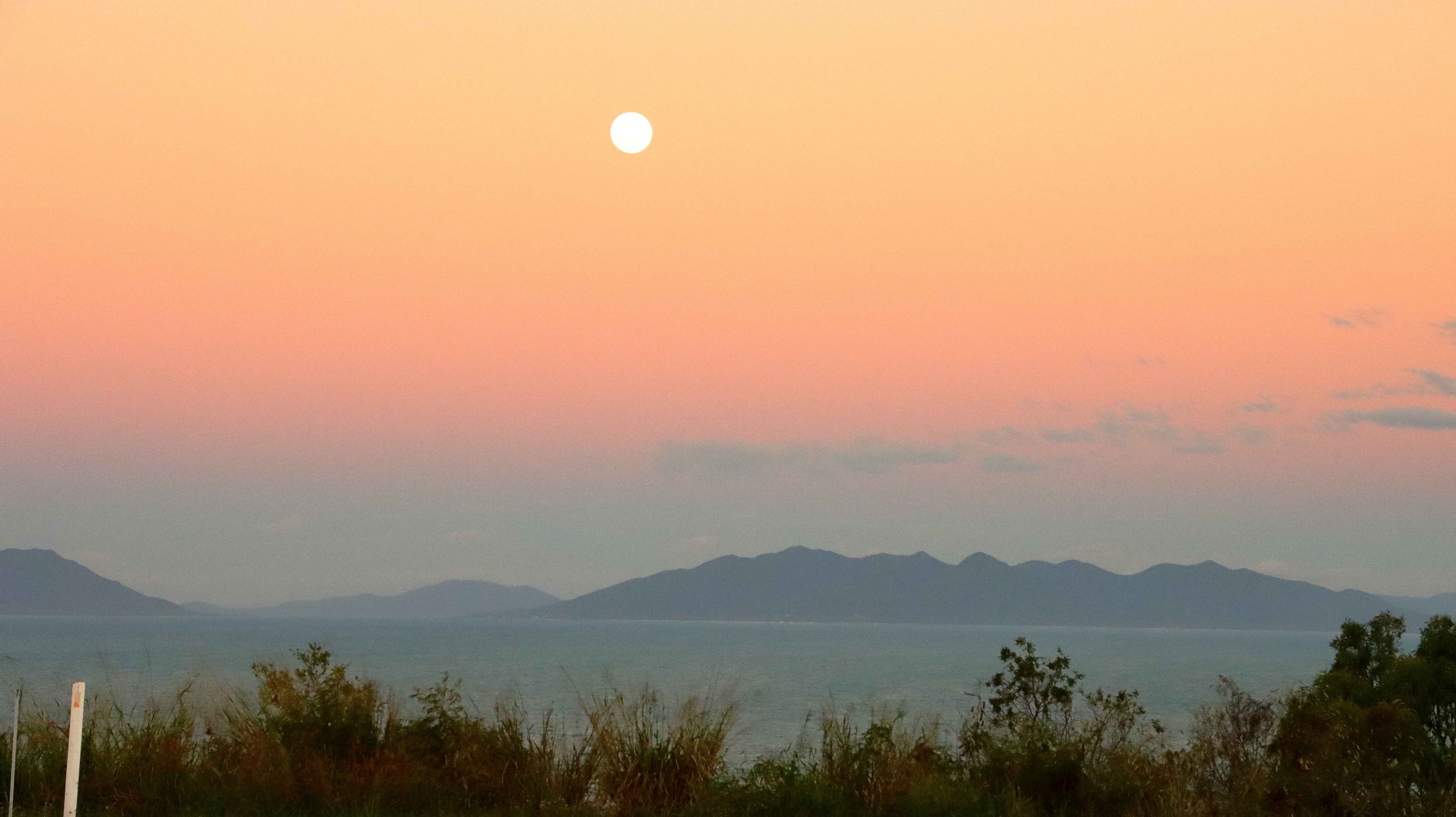
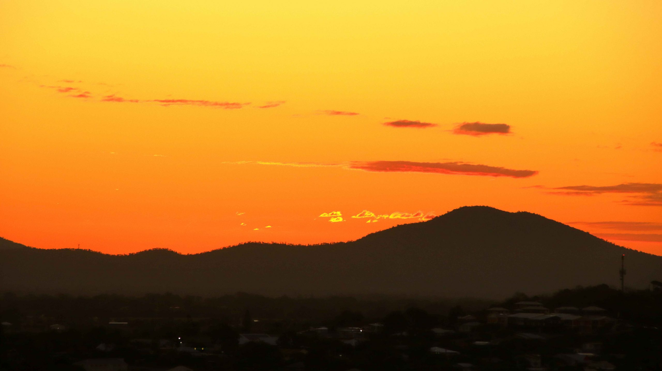
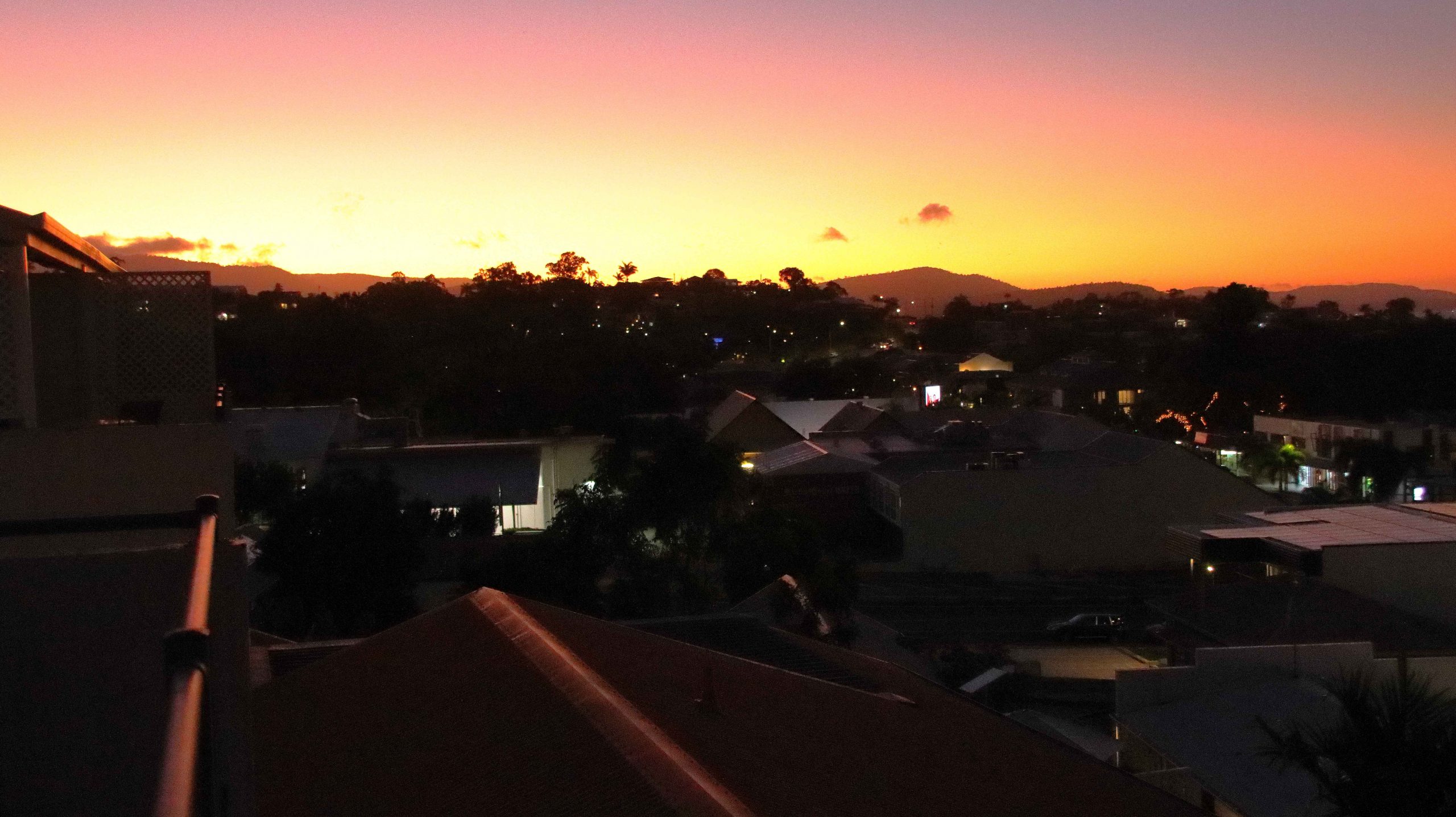
The sunset was a great display of colour. I pleasing end to the day.